






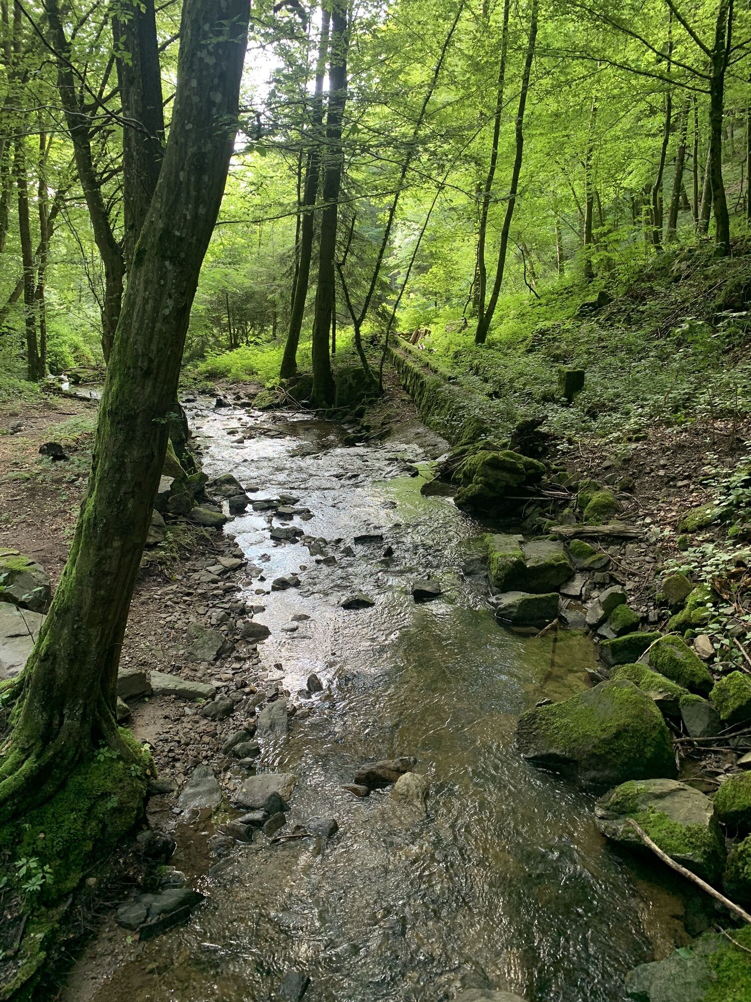
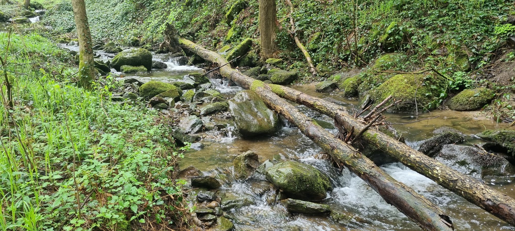
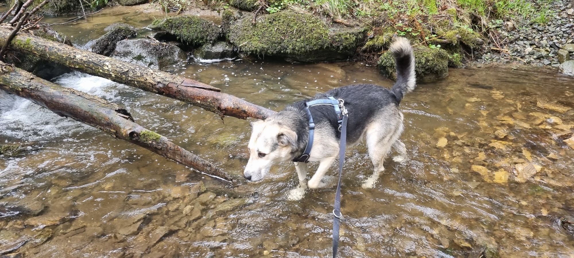
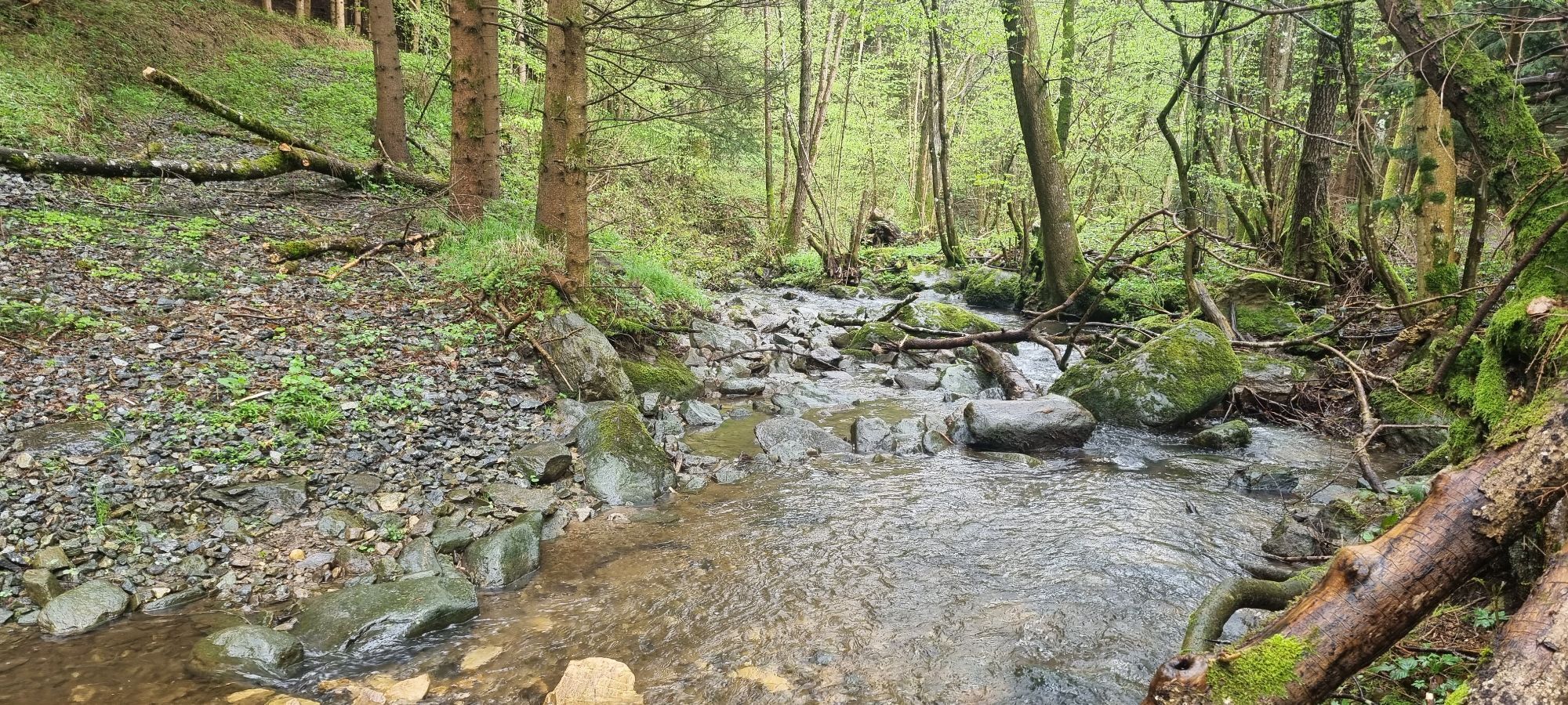
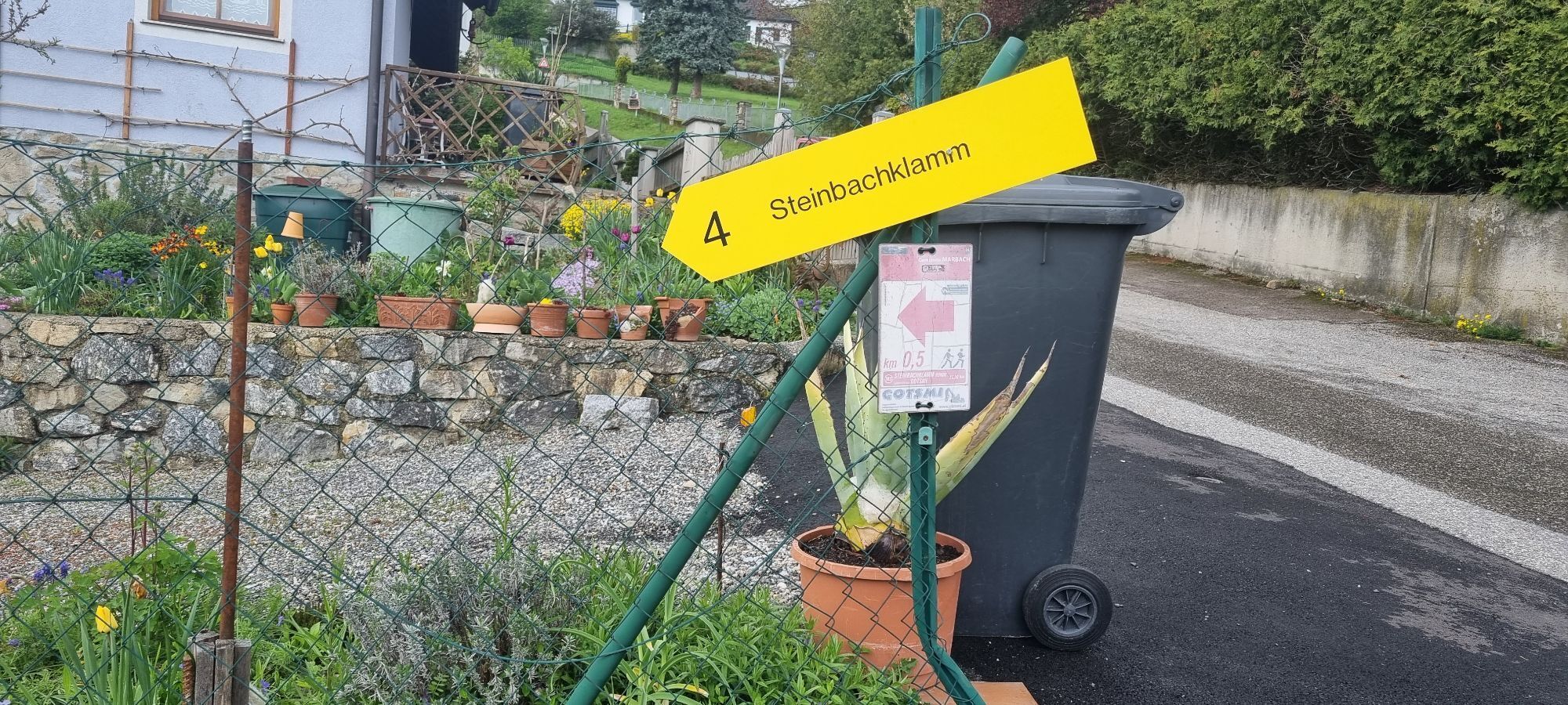
Marbach 3 - Steinbachklamm route
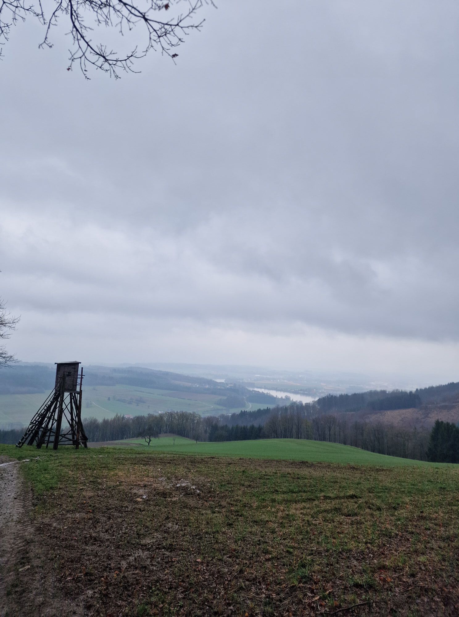
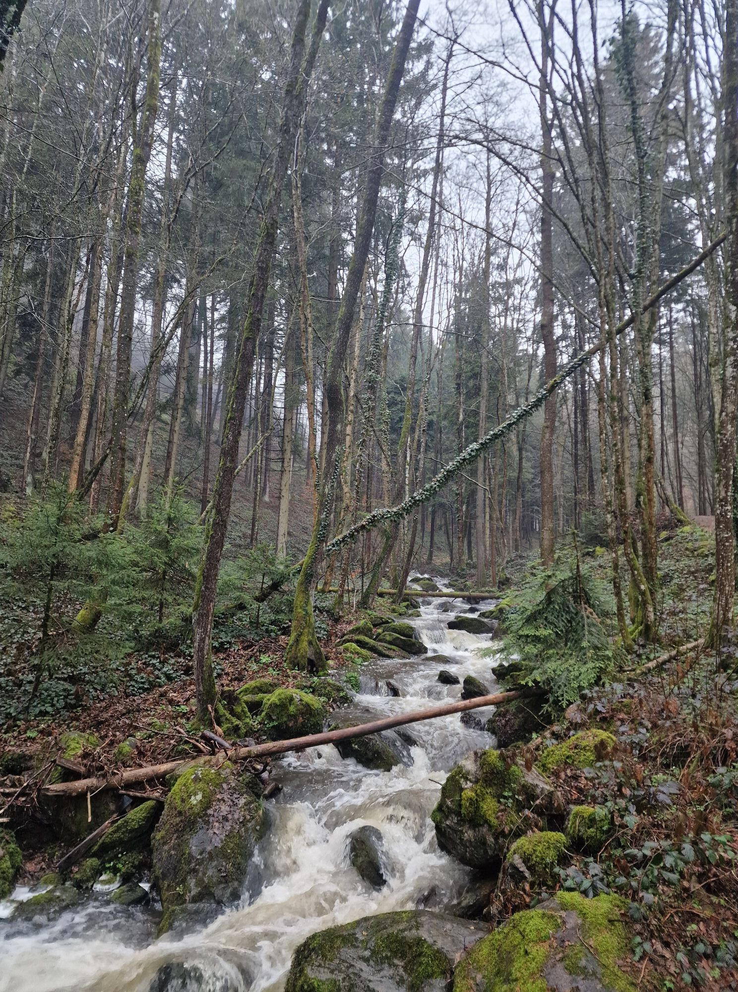

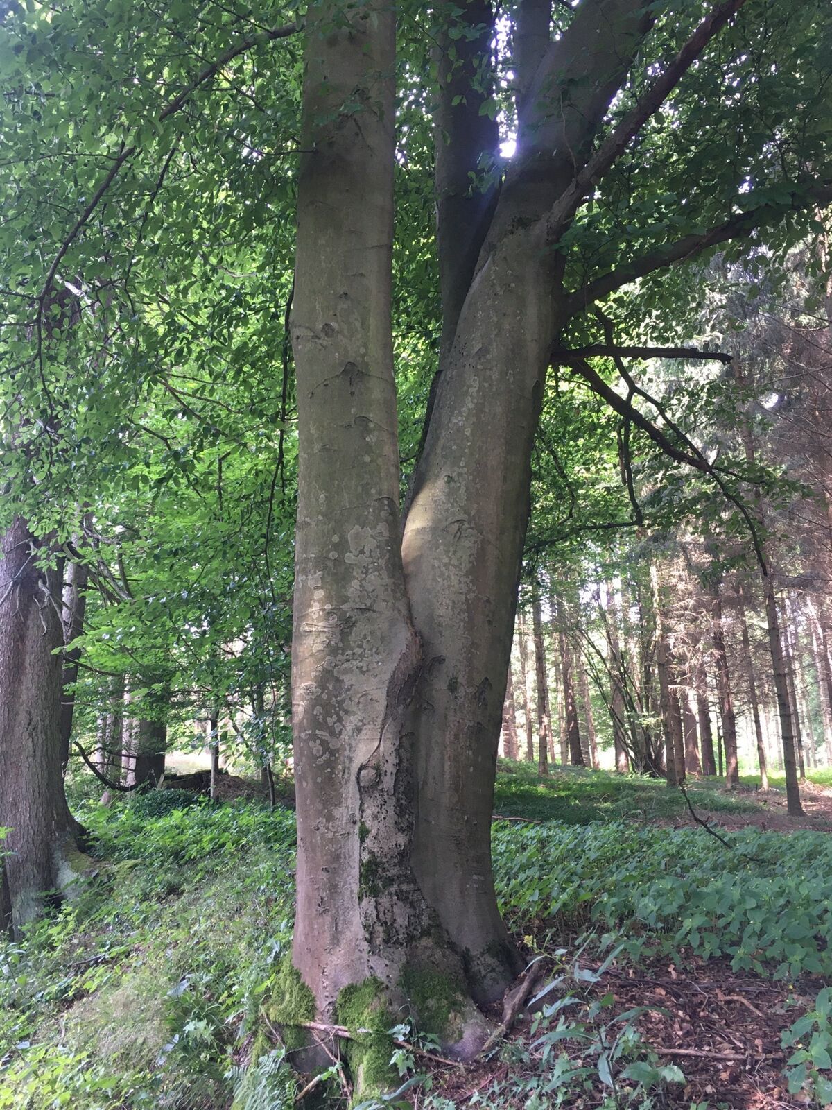
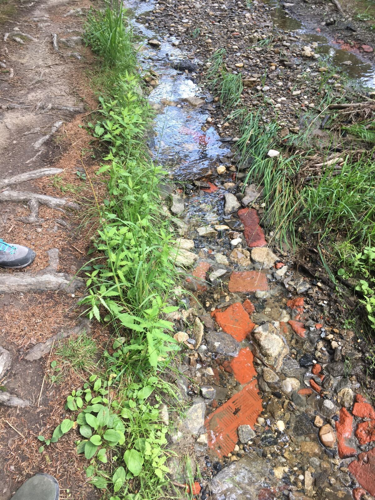

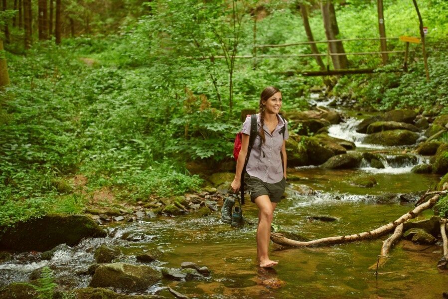

<p>We recommend hiking shoes, backpack, hiking map and/or mobile route planner, weatherproof clothing (e.g., rain protection), headgear, sun protection, first aid kit, possibly a flashlight, and sufficient provisions to strengthen yourself (water, snacks).</p>
<p>Please observe the following tips and instructions:<br /> · Stay on the marked paths.<br /> · Wear mountain/hiking shoes.<br /> · Use hiking poles.<br /> · Rainwear is always advisable.<br /> · Take the hiking map with you.<br /> · Carry enough drinking water.<br /> · Please do not leave your trash on the trail.<br /> · Respect the sensitive habitats of plants and wildlife.</p><p>Walking/using the suggested routes is at your own risk and responsibility.</p>
<p>Marbach is accessible via the A1 West motorway, Pöchlarn exit. At the exit, take the first exit at the roundabout, after about 1 km turn left towards the Danube bridge. Cross the bridge, then keep left onto Wachauerstraße (B3). The road leads directly to Marbach.</p><p>Coming from Krems or Grein via Wachauerstraße (B3), drive straight ahead; the road leads directly to Marbach.</p>
<p>Take the ÖBB train to Pöchlarn station - <a href="www.oebb.at">timetable inquiry</a>. From the station, take the bus to Marbach - <a href="www.vor.at/">trip planner</a>. </p>
<p>Parking facilities are available in the town and at the Marbach ship dock.</p>
Uniquely located, the town of Marbach lies in the Nibelungengau, shaped by the Danube current, at the western gateway to the Wachau. Picturesque holiday resort on the Wachau road and the Danube shore railway, between forest and Mostviertel, one hour by car from Vienna, Marbach is the ideal starting point for many excursions. A variety of well-known cultural rarities invites you to discover our region. Marbach's water sports club offers opportunities for water skiing, wakeboarding, and sport and sailing boat trips.
Bike paths on both sides of the Danube and in the side valleys invite you to explore the many sights and cultural monuments by bike.
More information about the community can be found at http://www.marbach-donau.at
For easy and convenient route planning, the Wachau-Nibelungengau-Kremstal App is recommended. Simply download for Android or iPhone. You can obtain the Nibelungengau hiking map via Donau Niederösterreich Tourismus GmbH or the Nibelungengau municipalities.
Attractions in the Nibelungengau:
Ybbs-Persenbeug Visitor Power Plant, Peace Museum Erlauf, Oskar Kokoschka Center Pöchlarn, Europaschloss Leiben, Artstetten Castle, Basilica Maria Taferl
Events and happenings in the Nibelungengau region and surroundings can be viewed here.
Highlight event in the Nibelungengau: Combine your hiking holiday with the Summer Solstice Celebration "Fire Magic in the Nibelungengau" in June. One experience with two options: Celebrate on the Danube shore in one of the Nibelungengau communities or on board a ship. More information at www.sonnenwende.at.
Descriptions of the routes including GPS tracks for download can be found at www.nibelungengau.at.
 Obtenez un aperçu
Toujours en direct avec plus de 9.500 webcams. En tant qu'utilisateur Pro, vous pouvez désormais voir les webcams correspondantes à de nombreuses randonnées dans l'application de randonnées de bergfex. Vous pouvez ainsi voir directement les conditions actuelles.
Obtenez un aperçu
Toujours en direct avec plus de 9.500 webcams. En tant qu'utilisateur Pro, vous pouvez désormais voir les webcams correspondantes à de nombreuses randonnées dans l'application de randonnées de bergfex. Vous pouvez ainsi voir directement les conditions actuelles.
Activités le long du parcours


Parcours populaires à proximité
-
4,0
Yspertal: Druidenweg - Ysperklamm
moyenRandonnée 9,56 km -
4,6
Waldhausen : circuit panoramique
moyenRandonnée 14,0 km -
4,6
Ausgedehnte Peilsteinrunde
moyenRandonnée 13,7 km -
4,5
Durch die Steinwandklamm von Maria Taferl aus
facileRandonnée 8,26 km -
4,5
Purgstall Route 3 entlang der Erlauf und Umgebung
facileRandonnée 11,6 km -
4,8
Herzsteinweg Ysper und Burgsteinmauer
moyenRandonnée 14,7 km -
4,9
LAIMBACH Ostrong Peilstein 20220716
moyenRandonnée 7,70 km -
4,5
Welterbesteig Wachau 08: Emmersdorf-Melk
facileChemin de Grande Randonnée 9,90 km -
4,8
Ysperklamm
facileRandonnée 3,92 km -
3,8
Bärnkopf Ysperklammstrecke
difficileVTT 31,0 km
Randonnée et suivi


Ne manquez pas les offres et l'inspiration pour vos prochaines vacances
Votre adresse électronique a été ajouté à la liste de diffusion.





