







Kasperl & Bäzi Weg
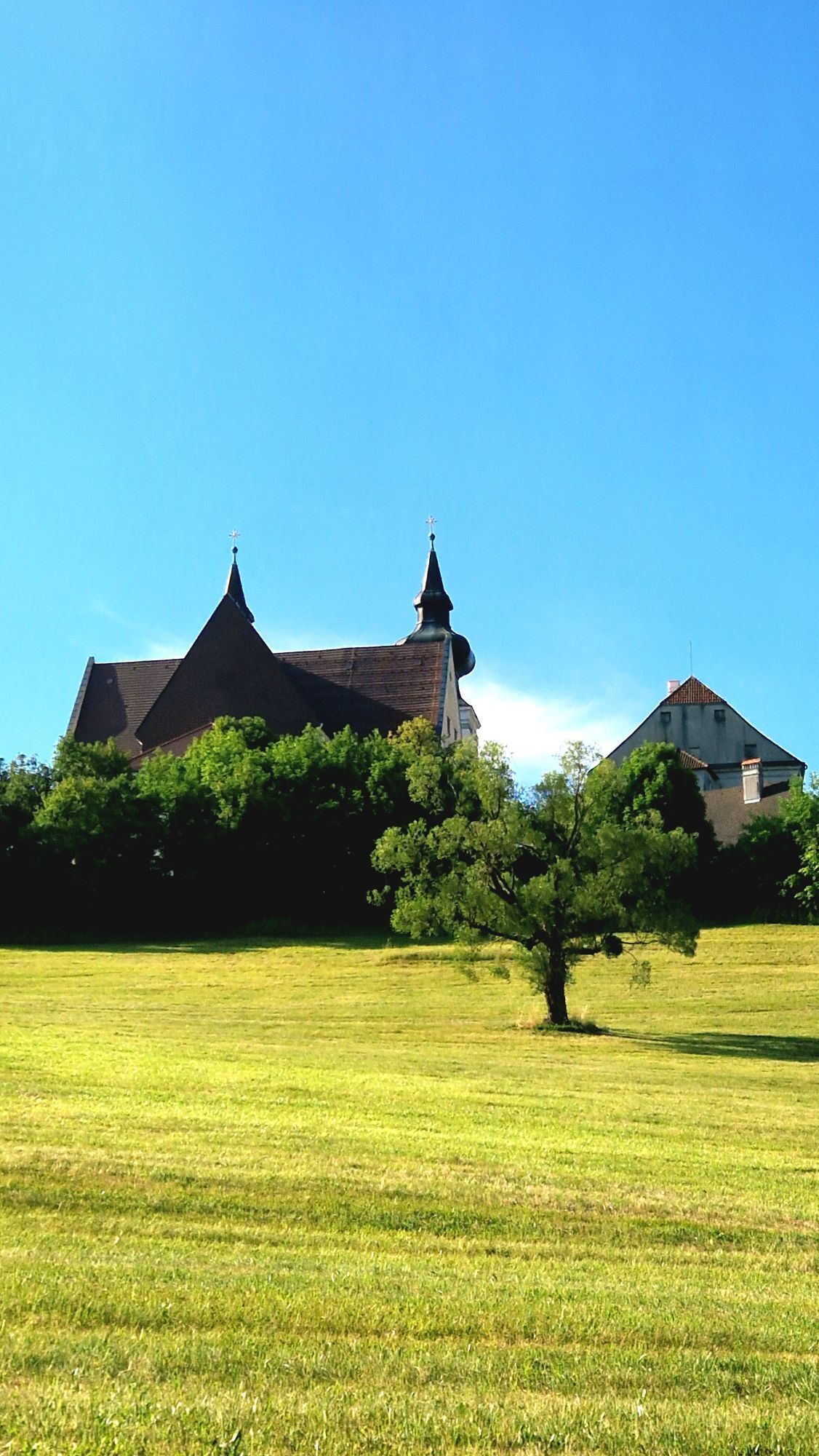
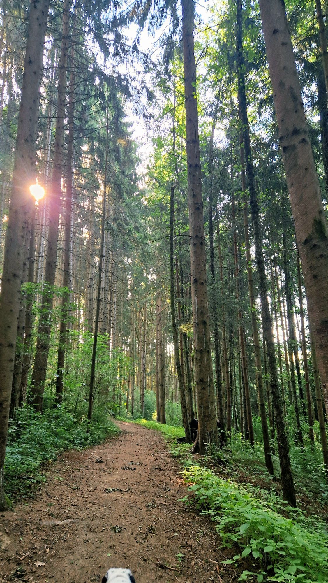
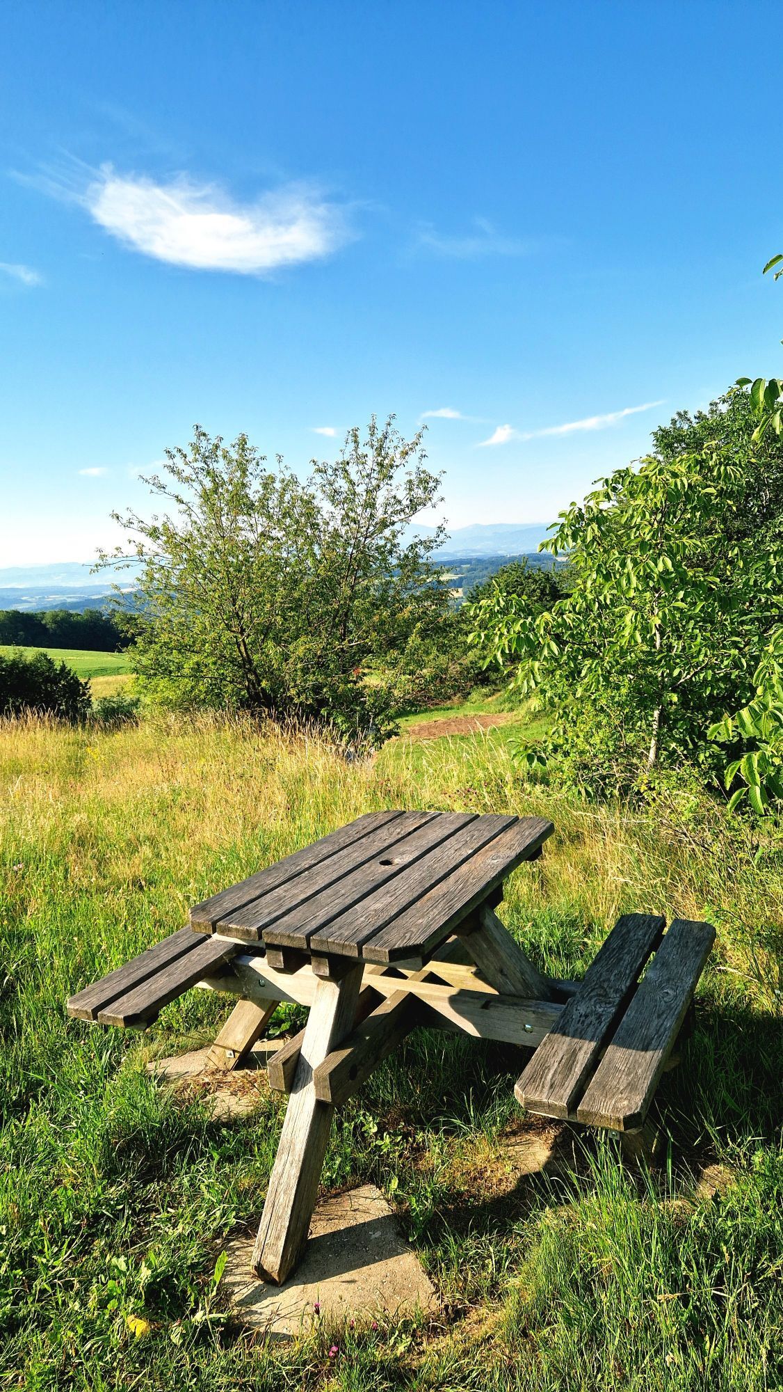
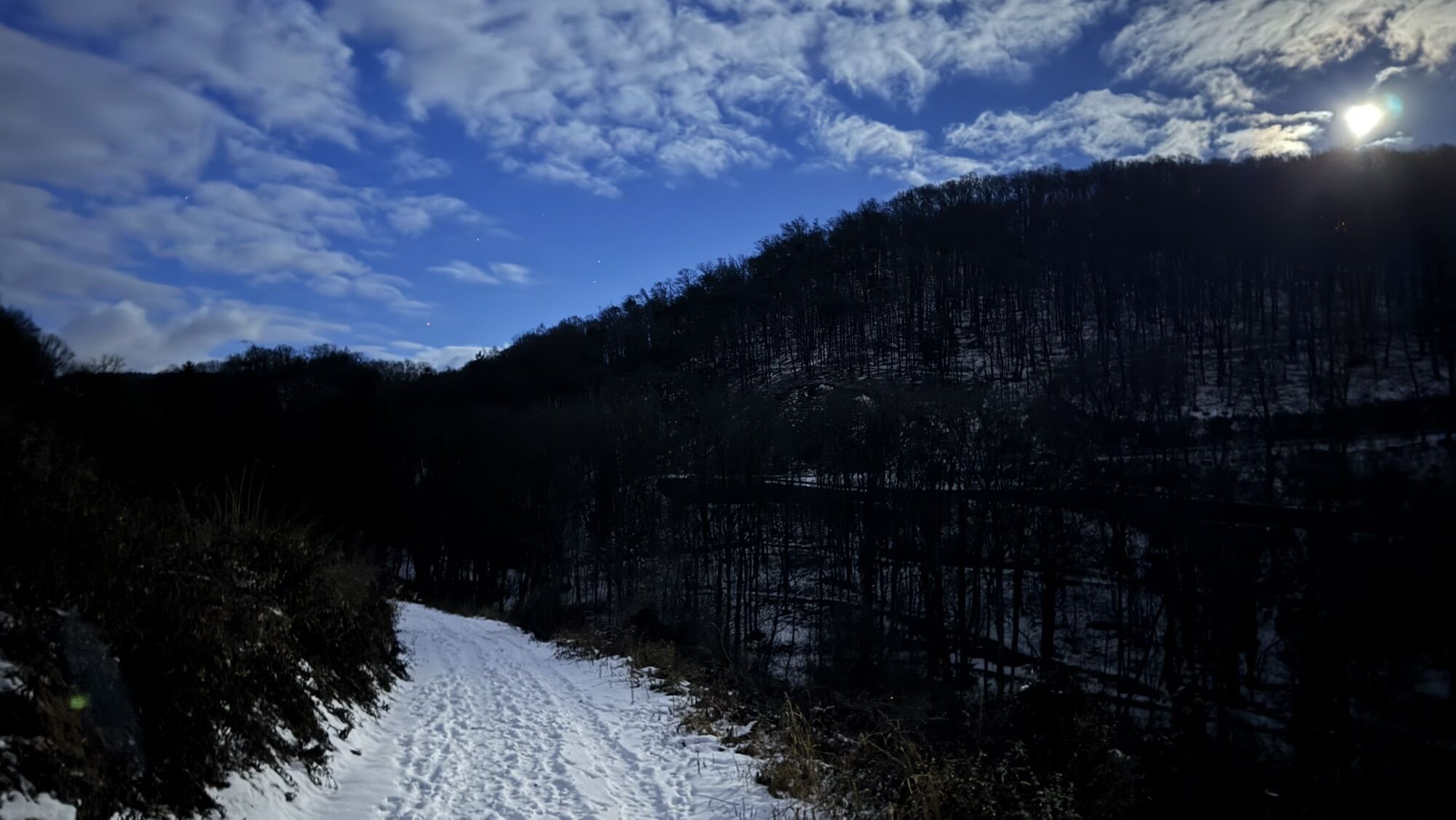
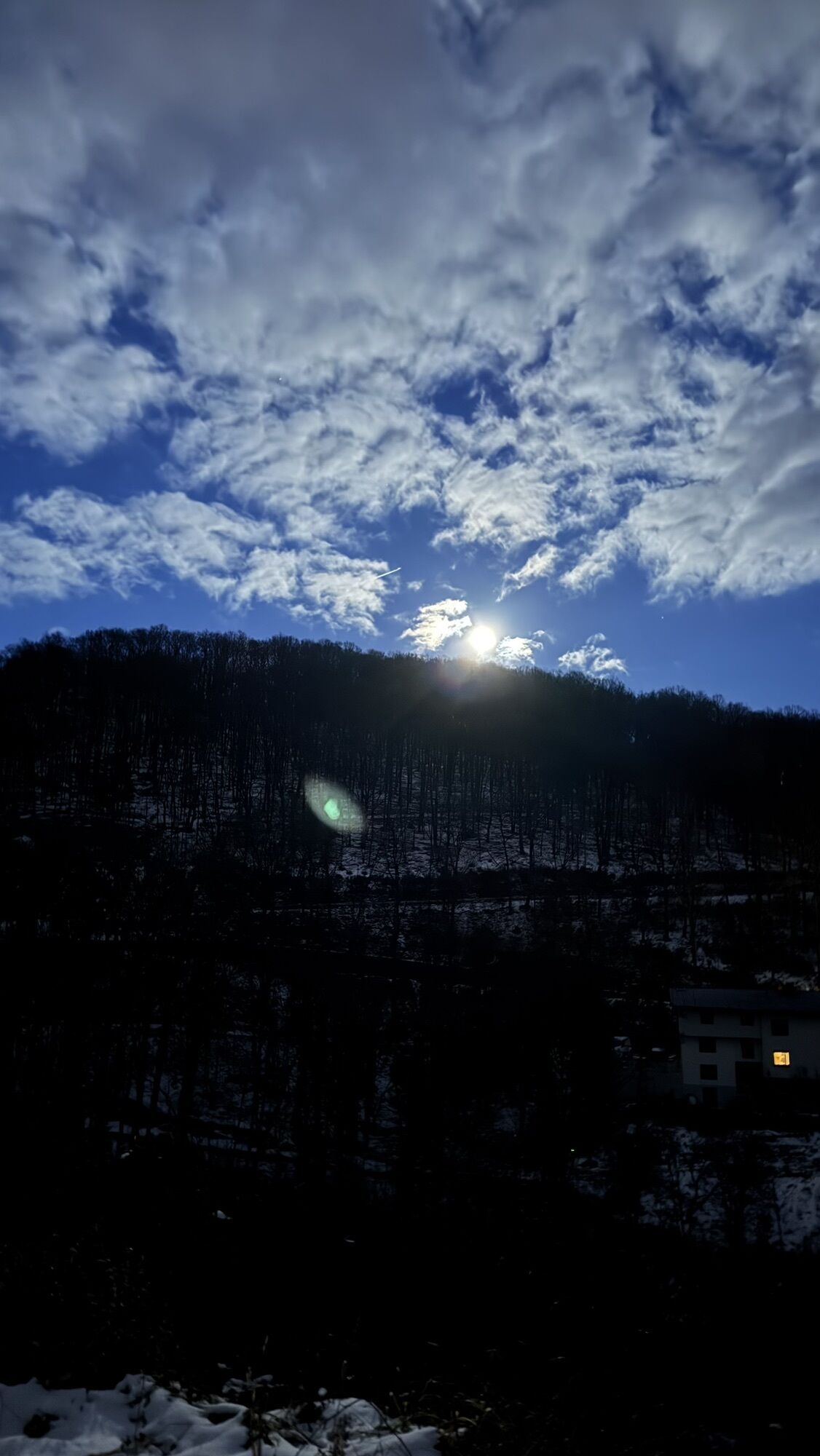
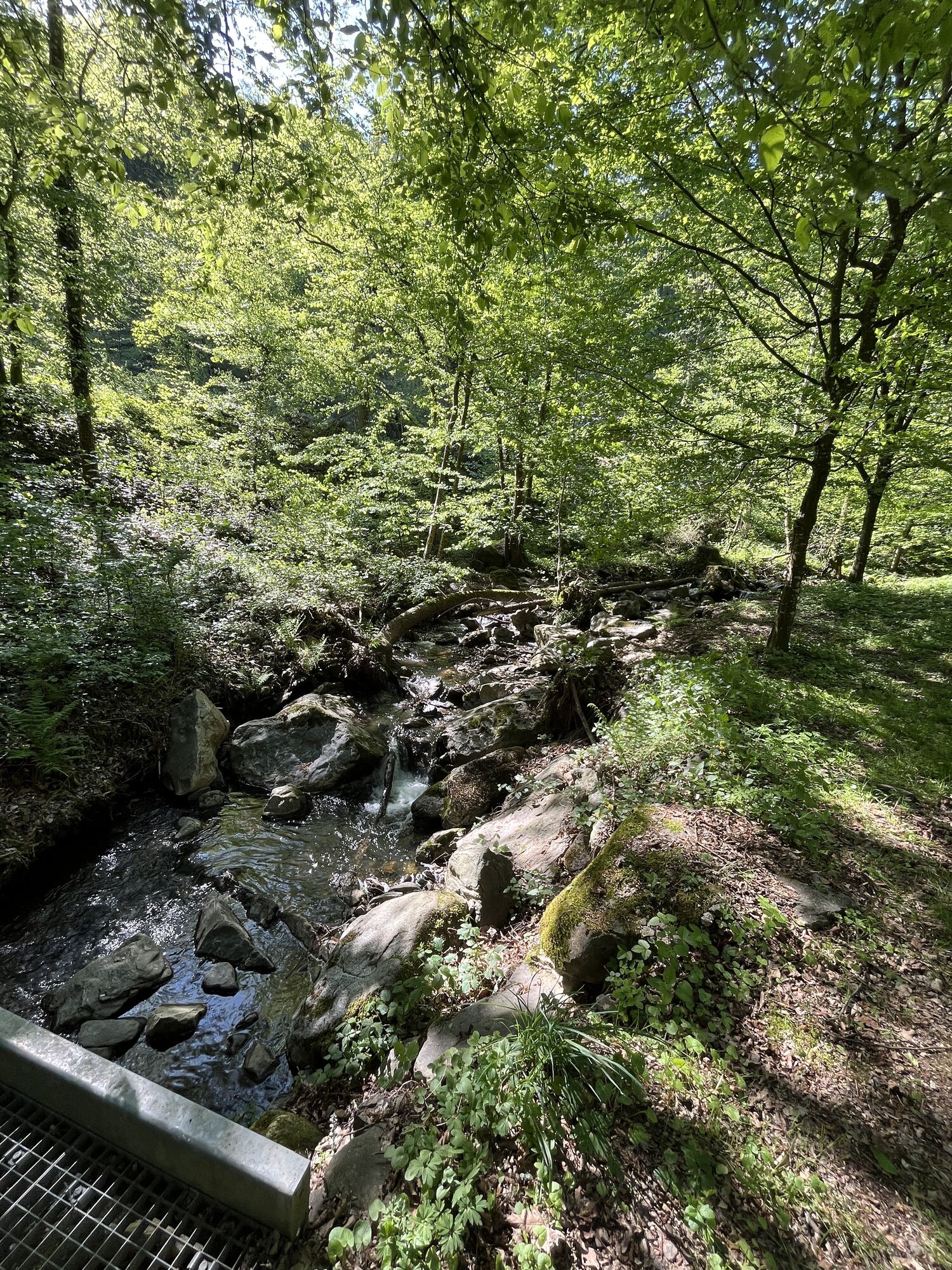
It's a lot of fun to connect with nature, explore it, and experience the world by following in the footsteps of Kasperl and Bäzi around Maria Taferl, Austria's second-largest pilgrimage site.

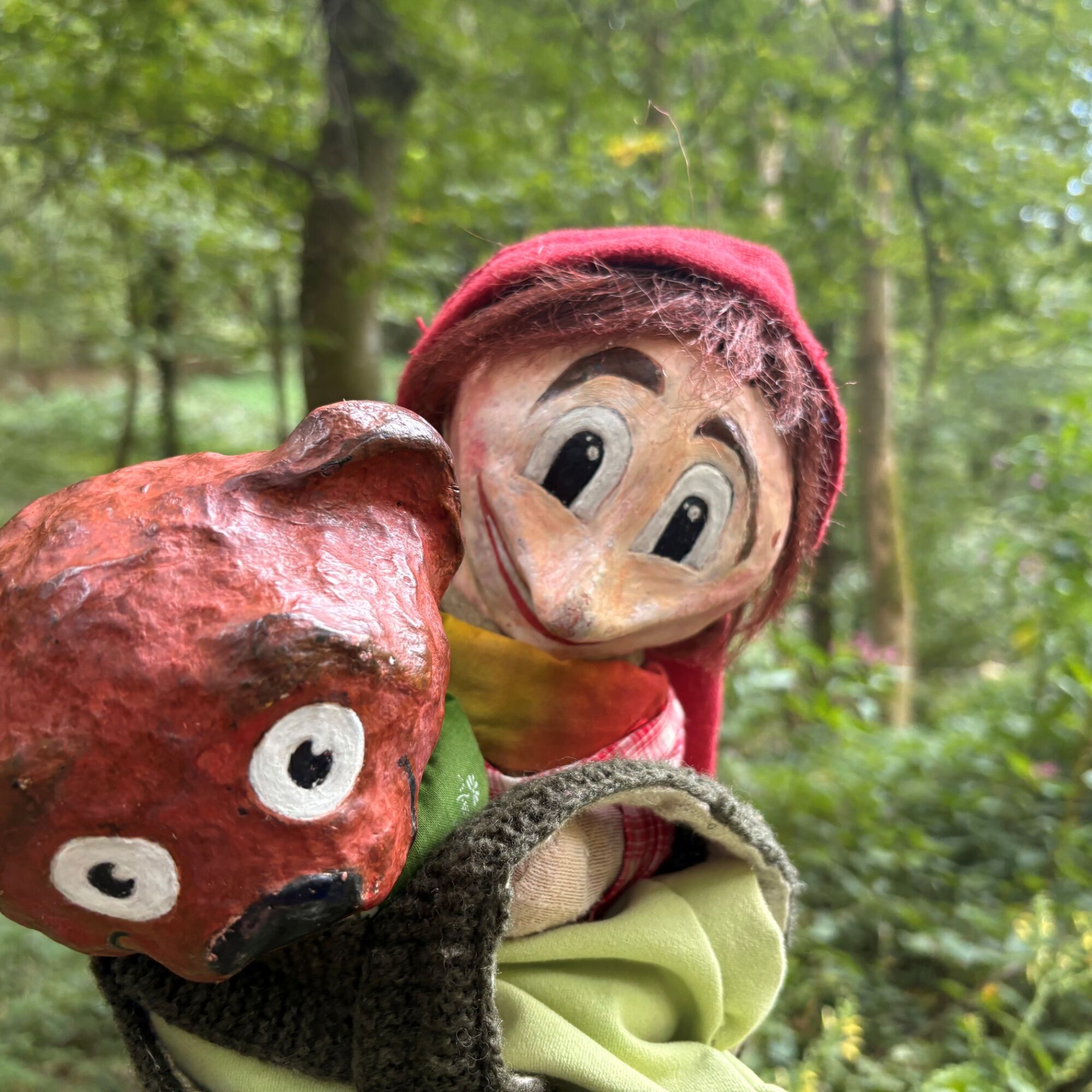
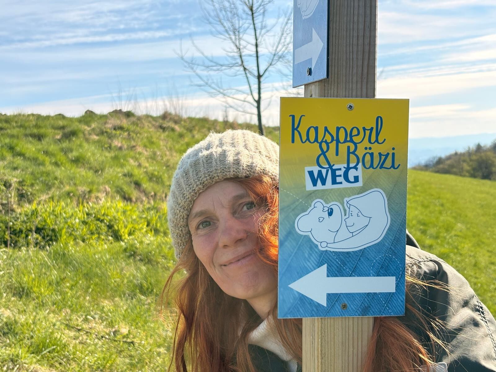
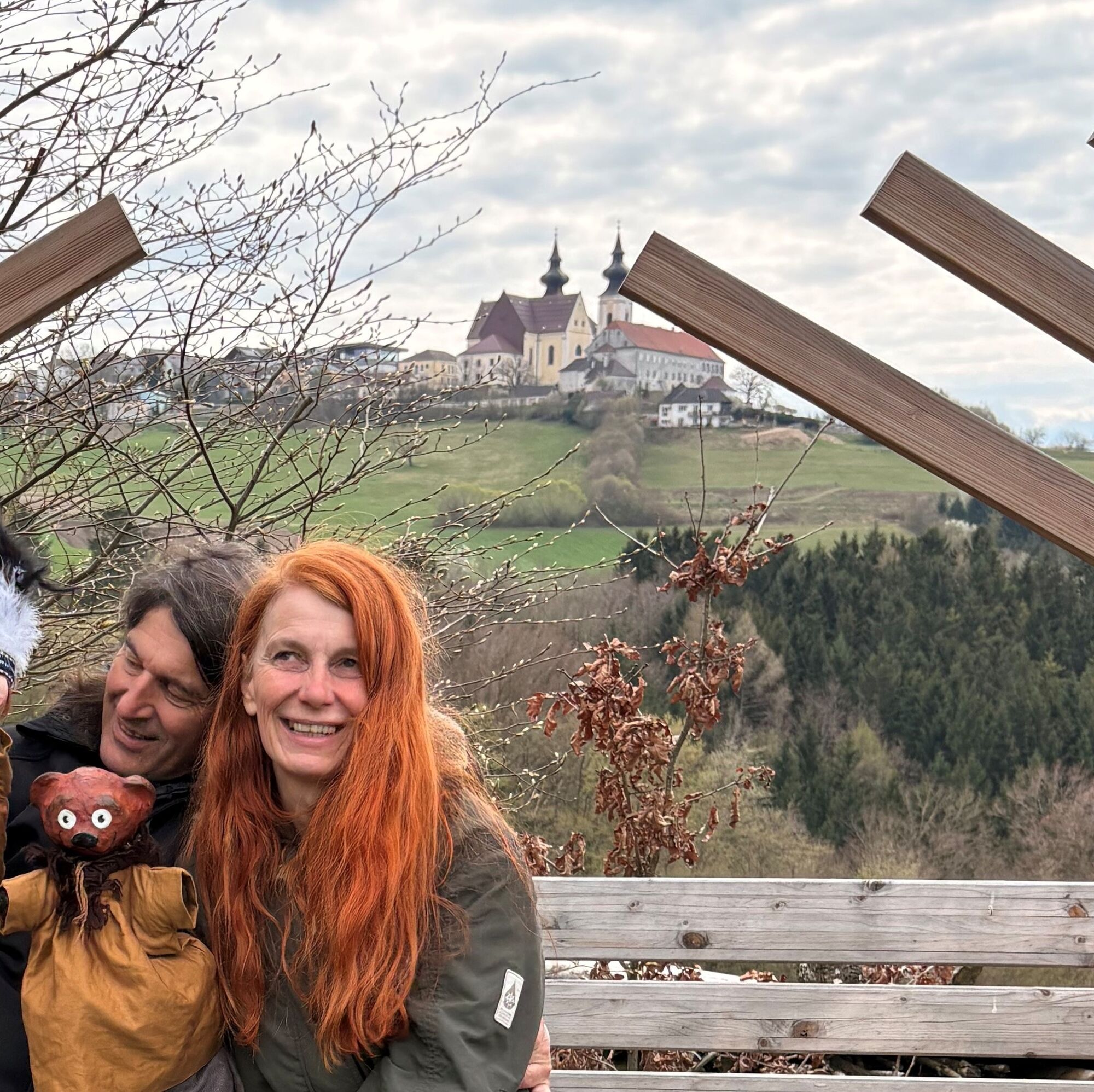
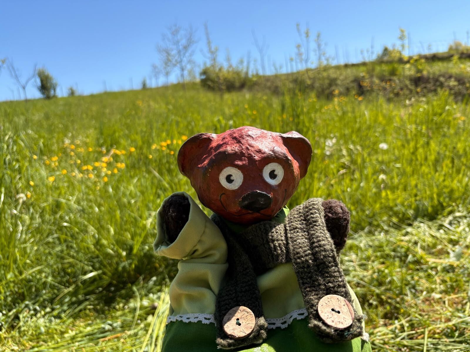

It's great to have you here.
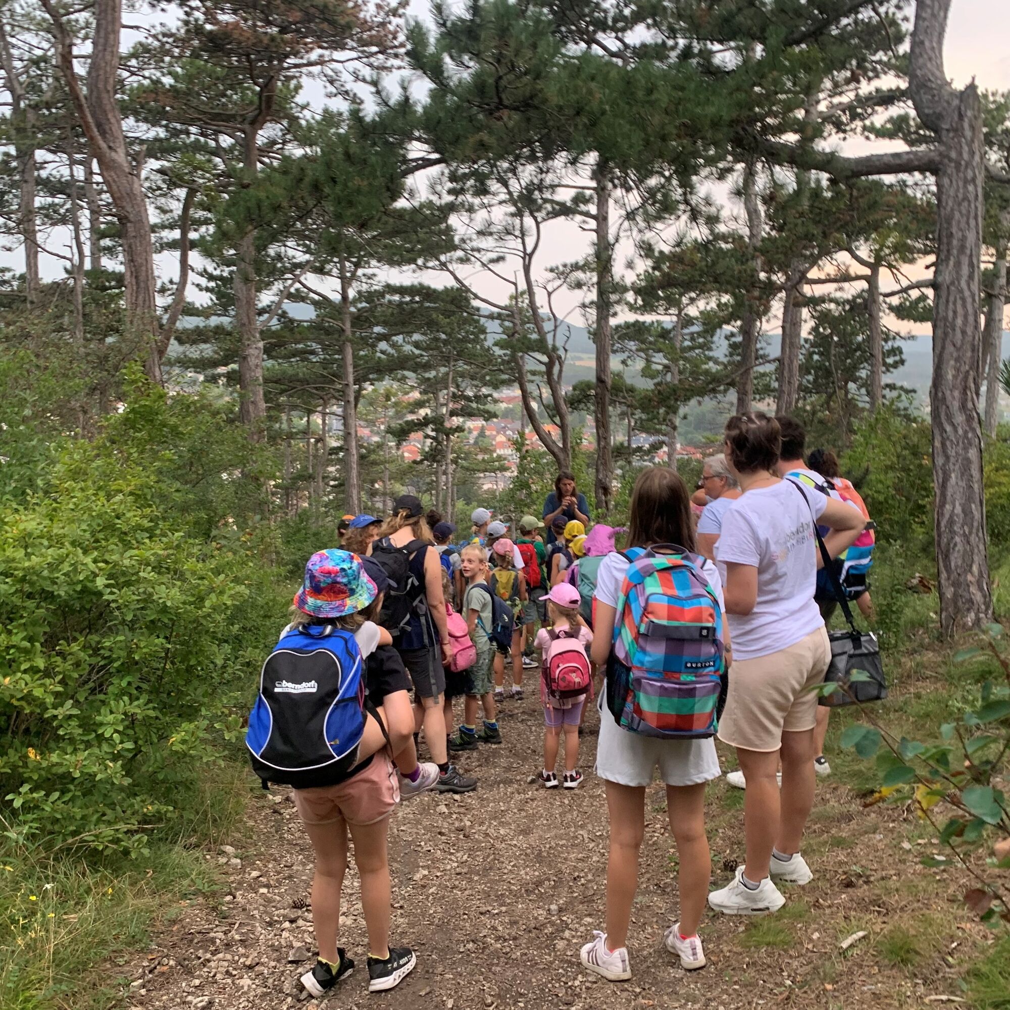
With our backpacks on, our feet wobble along the path. Hand in hand, we hike happily and cheerfully into the colorful countryside.
The Kasperl & Bäzi Trail takes us along the Marbach River, where we can also cool off our feet.
We learn by listening to the birds, watching the ants, tasting the cuckoo flower, and consciously experiencing water, air, and earth.
In Maria Taferl, where Grünfinkerl lives with his friends and Grandma shares the garden with all living creatures, the children feel like they’re part of creation.
Along this trail, there are plenty of adventures to experience and a rich biodiversity to discover.
Along the 4.2-kilometer-long trail, there are 21 signposts,
where you can hear Kasperl and Bäzi and complete various tasks.
Please stay on the trail so we can protect biodiversity. You are the greatest treasure.
Thank you to the municipalities of Maria Taferl and Marbach an der Donau for their cooperation.
Sturdy footwear, functional clothing, sun and rain protection, maps, trekking poles if needed, first-aid kit (blister bandages), plenty of food (snacks, granola bars, fruit, water).
When choosing a route, make sure it’s appropriate for your fitness level. Check to see if the restaurants you plan to visit along the way are open. Pack your cell phone and maps in your backpack.
From Vienna or Linz, take the A1 exit for Pöchlarn, cross the Danube Bridge toward “Klein Pöchlarn.”
At the edge of town, turn right onto the L 7267 toward Maria Taferl.
Take the train to Pöchlarn, and from there take bus line 788 to Maria Taferl.
Free parking is available right at the trailhead, below the monastery garden of the Maria Taferl Basilica.
Talent Development Center Untererla 8, 3672 Maria Taferl
(T) +43 7413 / 25419
(E) kerschbaumer@talenteschmiede.at
(I) www.talenteschmiede.at
Waldviertel Tourism
3910 Zwettl, Sparkassenplatz 1/2/2
(T) +43 2822 54109
(E) info@waldviertel.at
(I) www.waldviertel.at
The panoramic views of the mountain peaks and the nearby Danube Valley are truly unique.
In addition to the hike, you also have the option—upon request—to participate in a gardening workshop, a “Kasperl & Bäzi” adventure theater performance, or a guided tour, as well as to visit the MeRSi hut.
Parcours populaires à proximité
-
4,0
Yspertal: Druidenweg - Ysperklamm
moyenRandonnée 9,56 km -
4,6
Waldhausen : circuit panoramique
moyenRandonnée 14,0 km -
4,6
Ausgedehnte Peilsteinrunde
moyenRandonnée 13,7 km -
4,5
Durch die Steinwandklamm von Maria Taferl aus
facileRandonnée 8,26 km -
4,5
Purgstall Route 3 entlang der Erlauf und Umgebung
facileRandonnée 11,6 km -
4,8
Herzsteinweg Ysper und Burgsteinmauer
moyenRandonnée 14,7 km -
4,9
LAIMBACH Ostrong Peilstein 20220716
moyenRandonnée 7,70 km -
4,5
Welterbesteig Wachau 08: Emmersdorf-Melk
facileChemin de Grande Randonnée 9,90 km -
4,8
Ysperklamm
moyenRandonnée 8,74 km -
3,8
Bärnkopf Ysperklammstrecke
difficileVTT 31,0 km
Randonnée et suivi


Ne manquez pas les offres et l'inspiration pour vos prochaines vacances
Votre adresse électronique a été ajouté à la liste de diffusion.





