


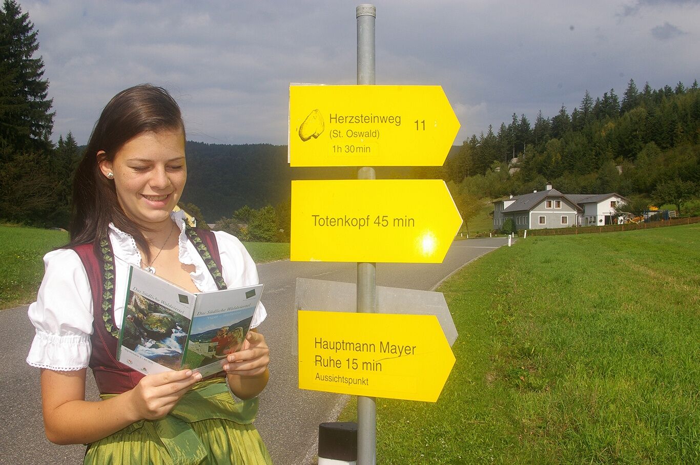
Herzsteinweg - St. Oswald
Le sentier de randonnée de 3 heures mène au point de vue "Hauptmann-Mayer-Ruhe", Steinernes Kornmandl (légende), Totenkopfstein (CD d'audio-théâtre disponible à la mairie - accessible par échelle), point...
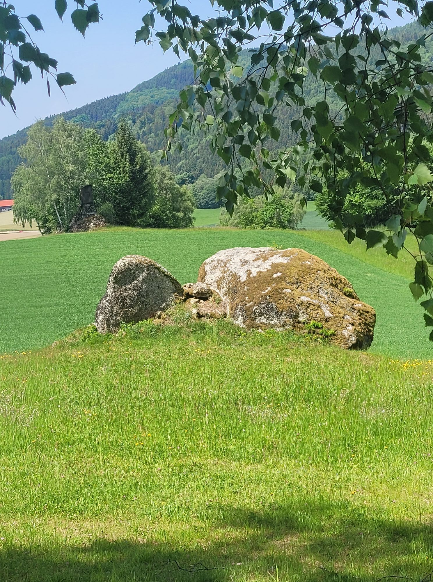
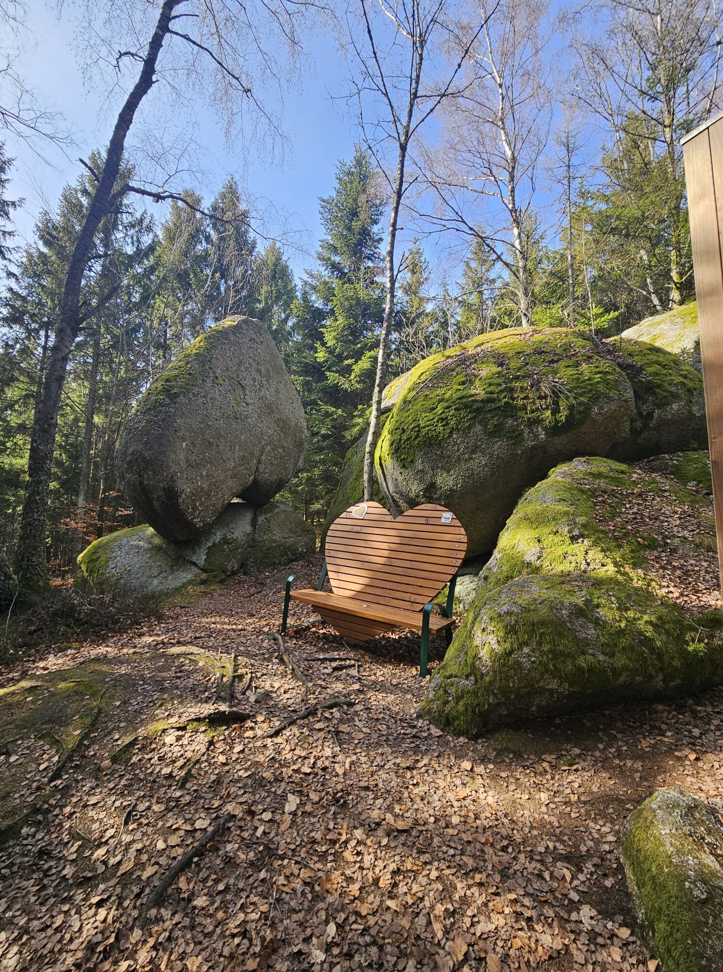
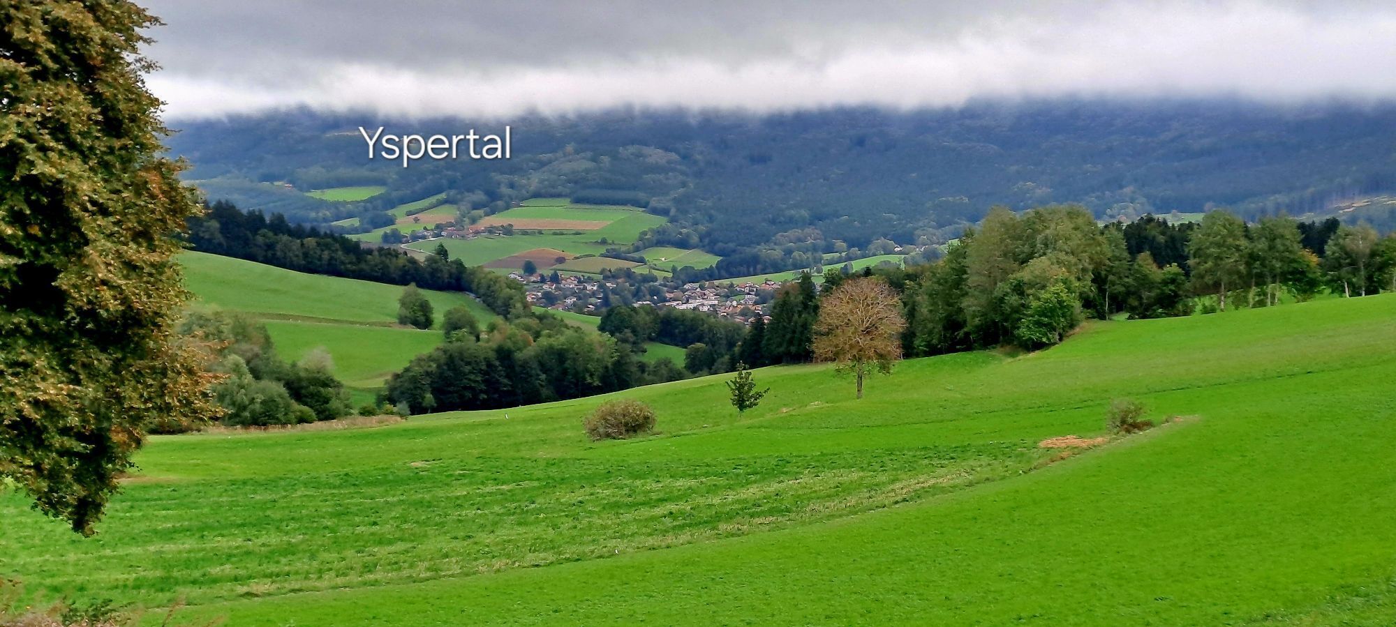
Le sentier de randonnée de 3 heures mène au point de vue "Hauptmann-Mayer-Ruhe", Steinernes Kornmandl (légende), Totenkopfstein (CD d'audio-théâtre disponible à la mairie - accessible par échelle), point de vue Weißenberg (croix sommitale avec livre de sommet - vue magnifique sur la vallée de l'Yspér et l'Ostrong), Herzstein (rocher percé de 5 m de haut) via des figurines en bois sculpté le long du chemin forestier "Süß" retour à St. Oswald.
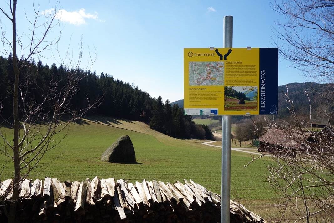
Sur le Herzsteinweg, 10 stations ont été aménagées où des valeurs particulières pour la vie doivent être transmises. À partir du projet réussi "Herzensbildung" de l'école primaire St. Oswald, les randonneurs doivent recevoir, en plus des informations, des valeurs particulières aux 10 stations :
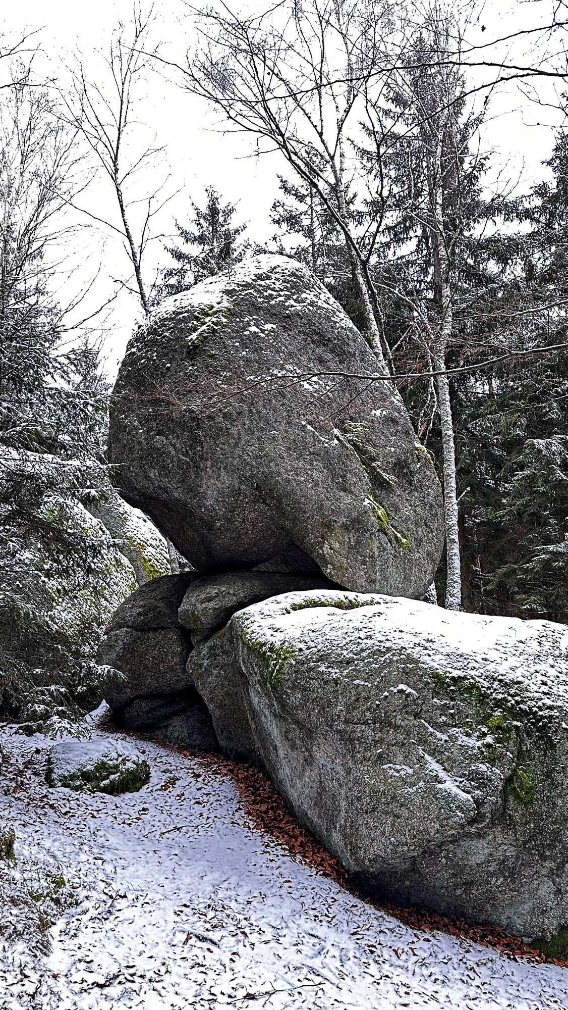
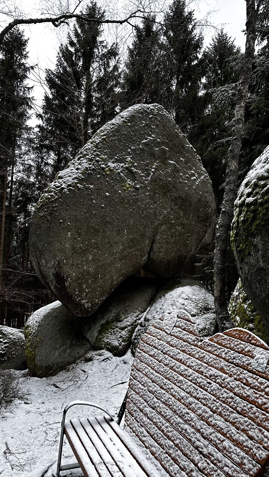
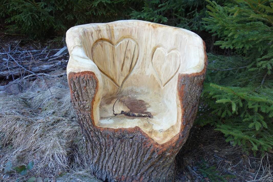
Bonheur, (au point de vue "Hauptmann-Mayer-Ruhe")Gratitude, (au Steinernes Kornmandl)Attention, (au Totenkopfstein)Humour, (à la croix de Weißenberg)Satisfaction, (aux trois chênes près de Windhag)Amour, (au Herzstein)Joie de vivre, (limite de forêt, chemin forestier Süß)Santé, (réservoir d'eau)Optimisme (au rocher branlant) etConvivialité (départ et arrivée aux quatre auberges de la commune de St. Oswald)
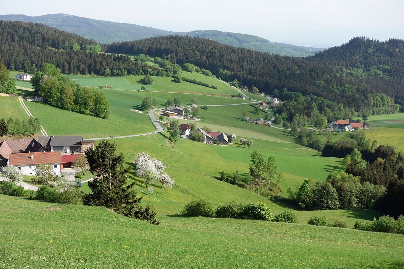
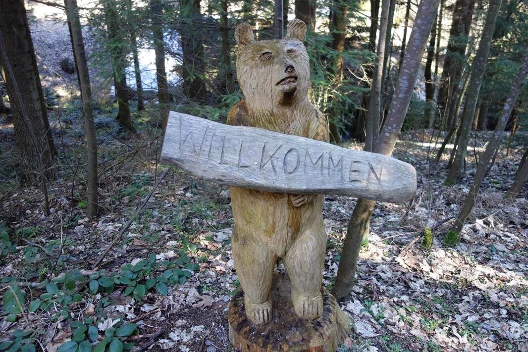
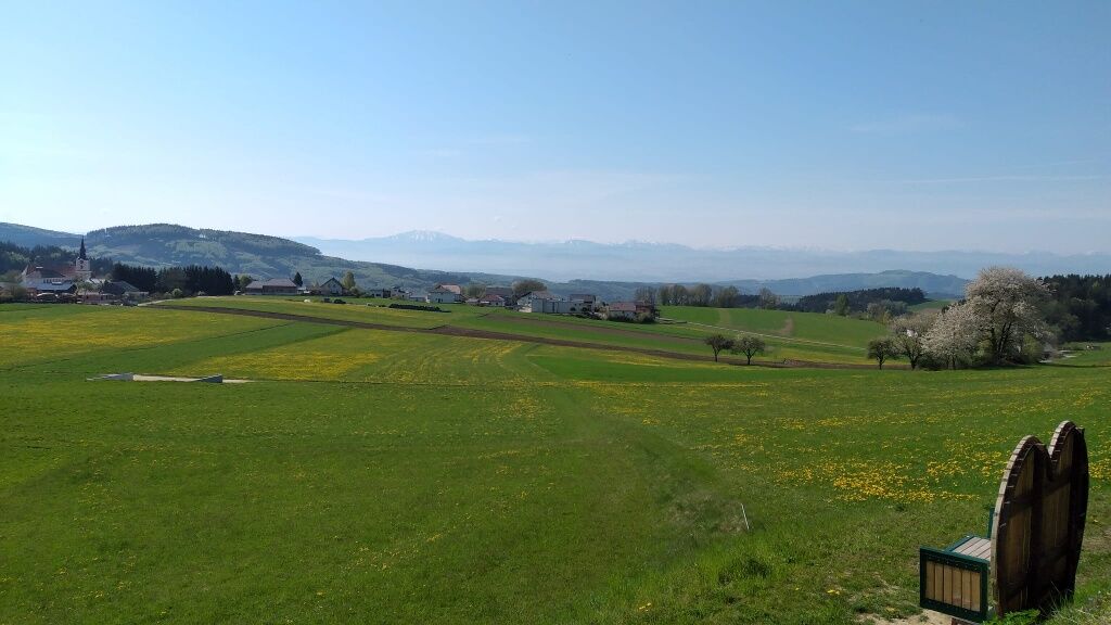
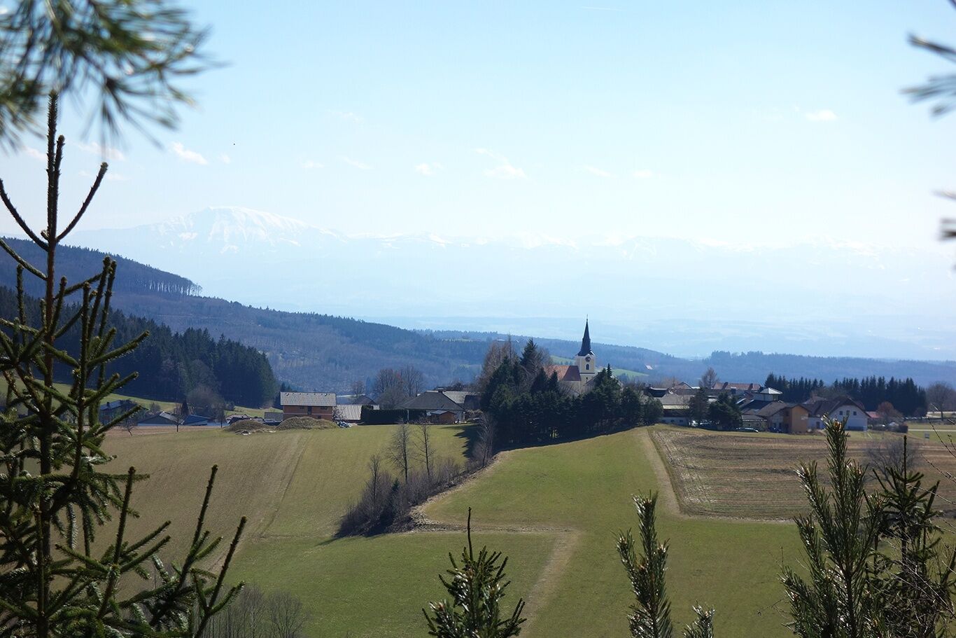
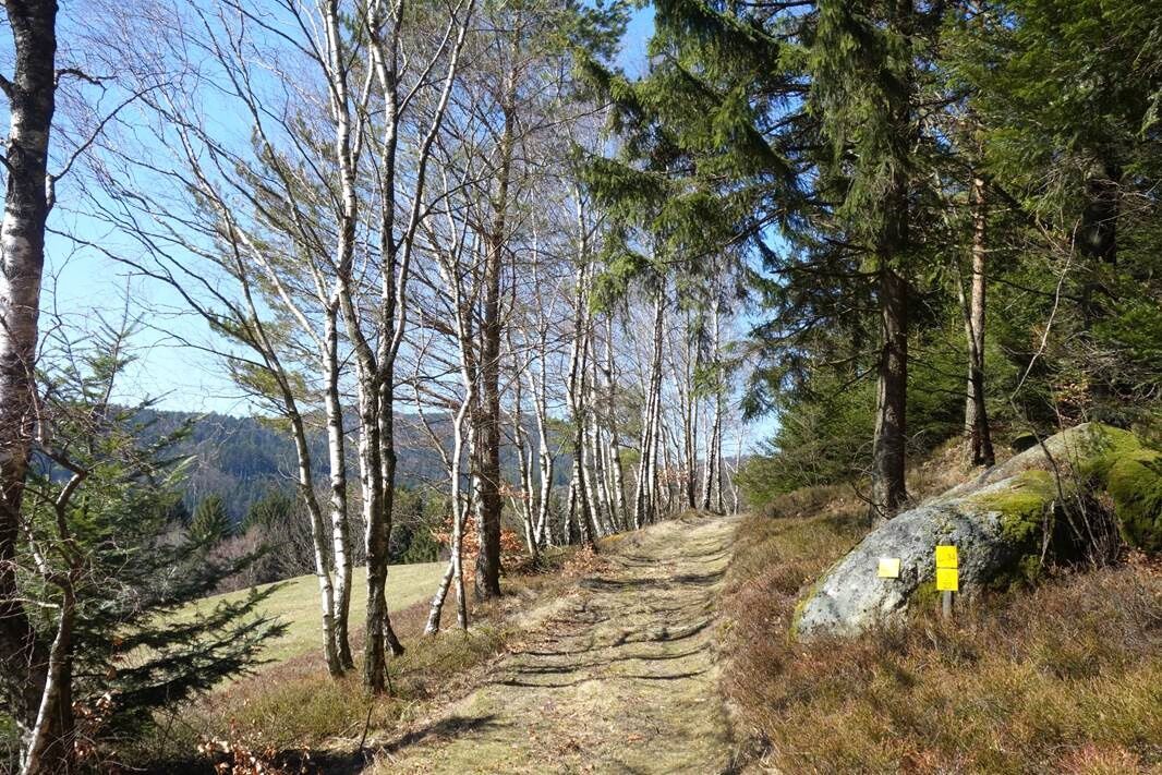
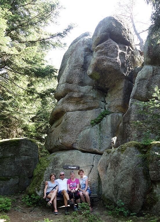
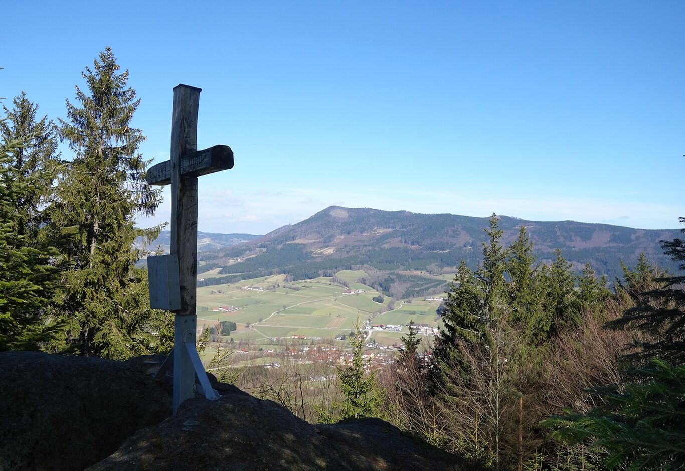
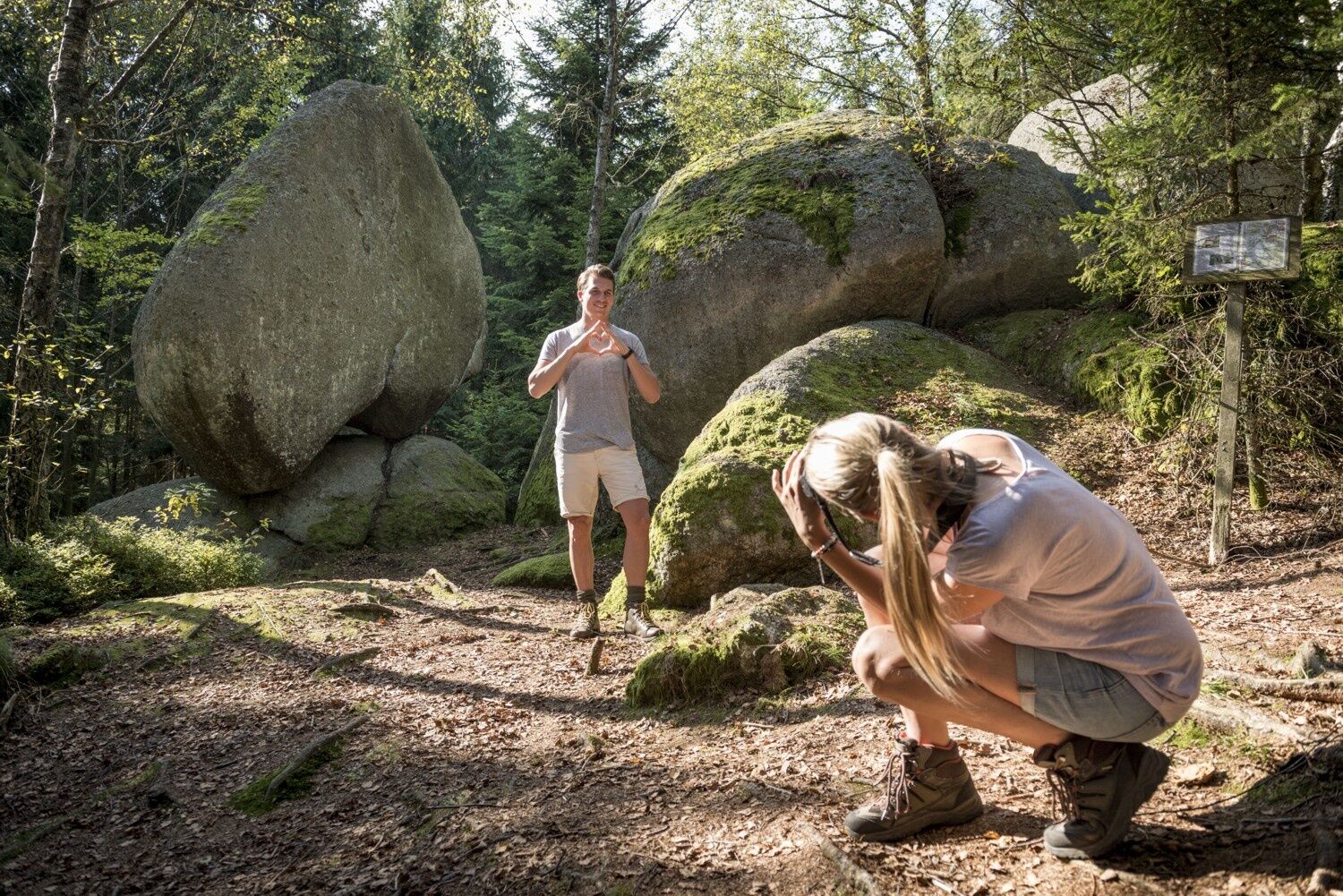
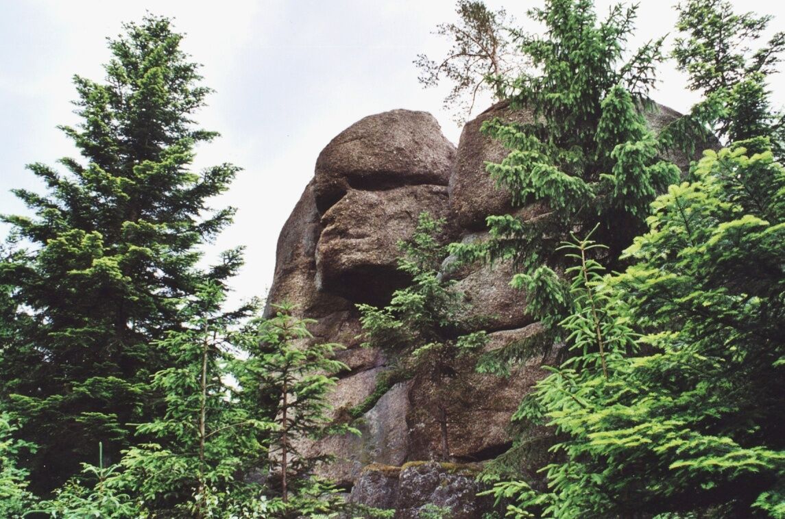
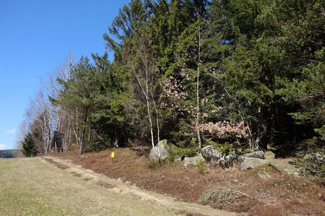
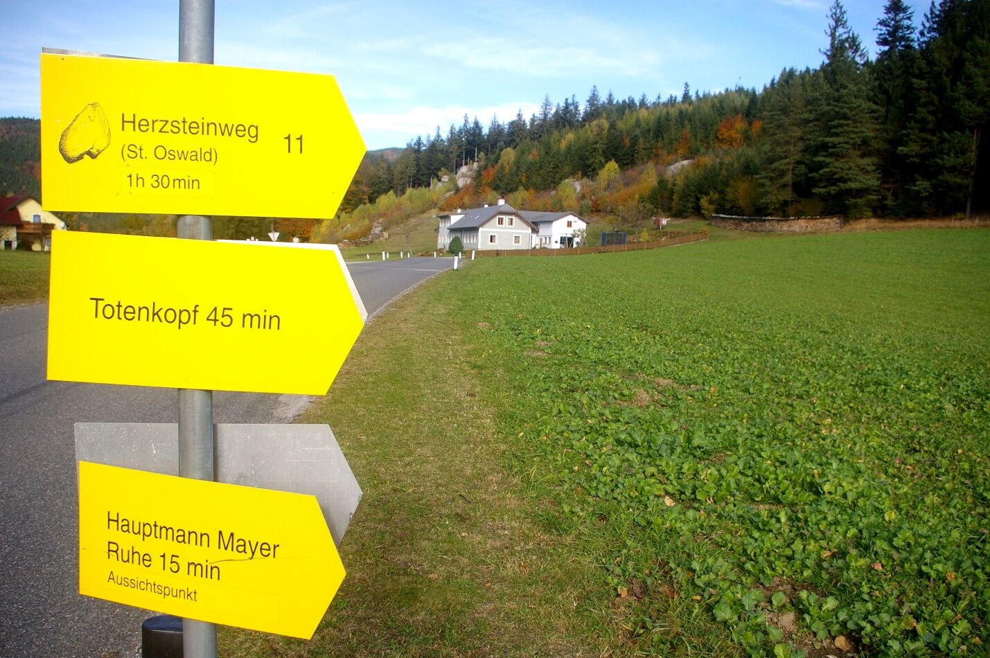

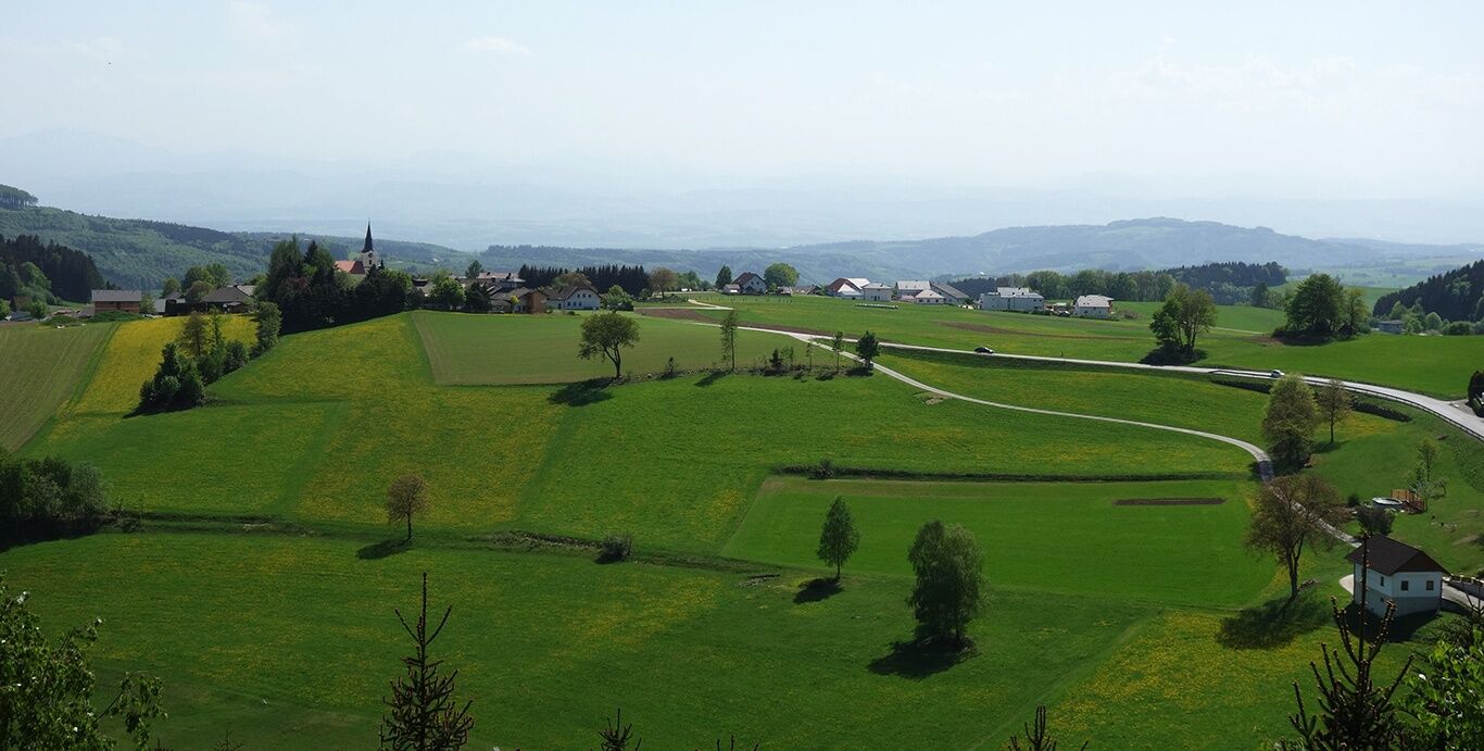
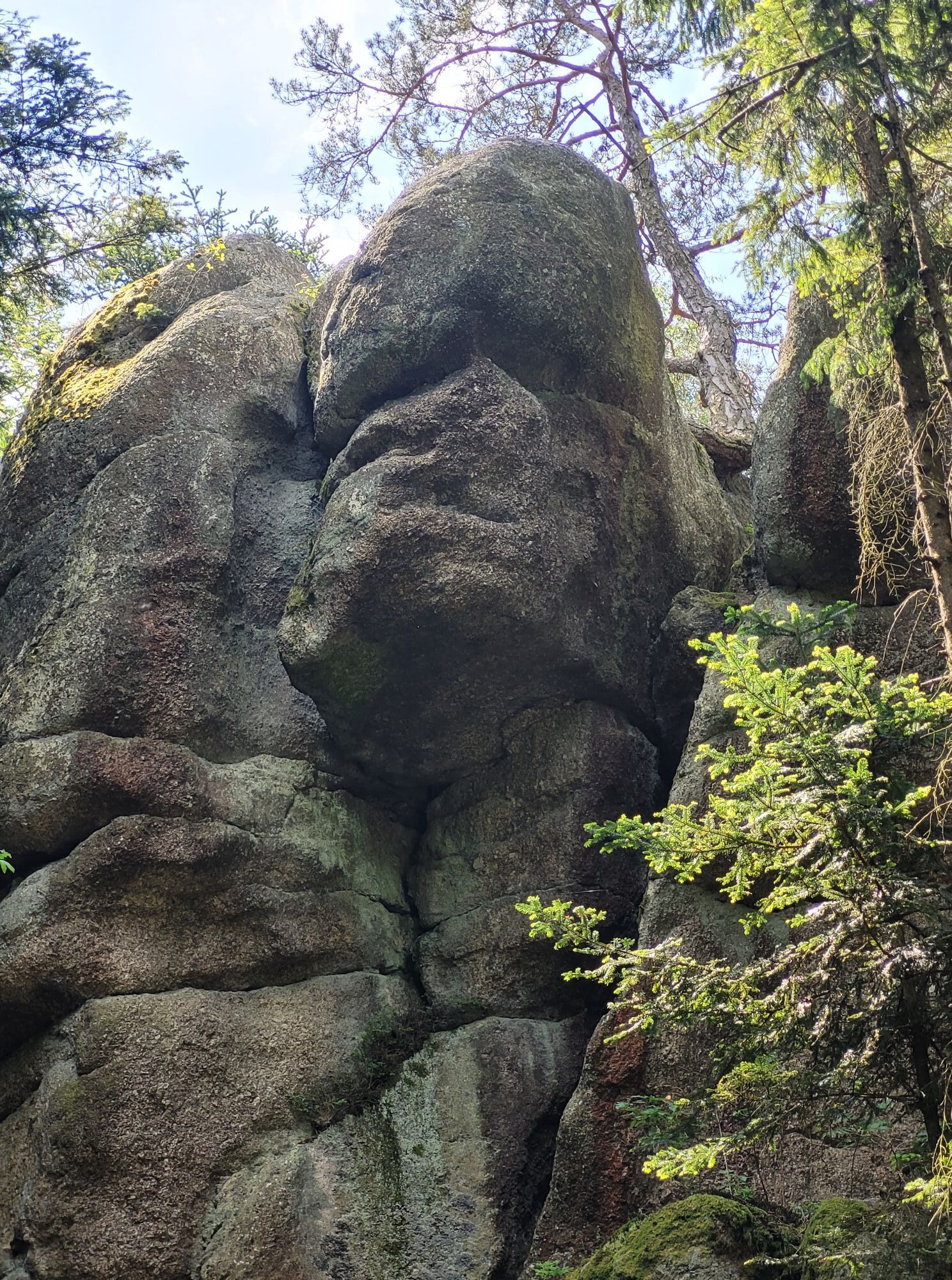
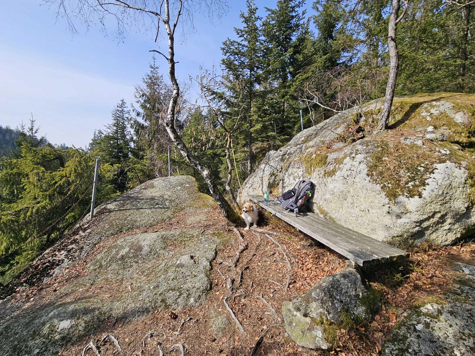
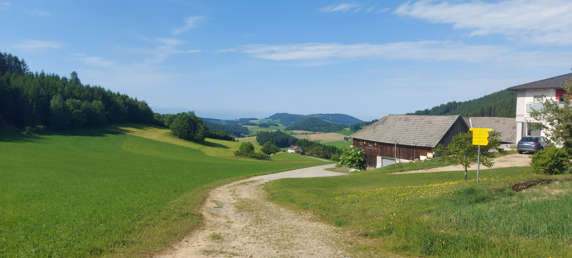
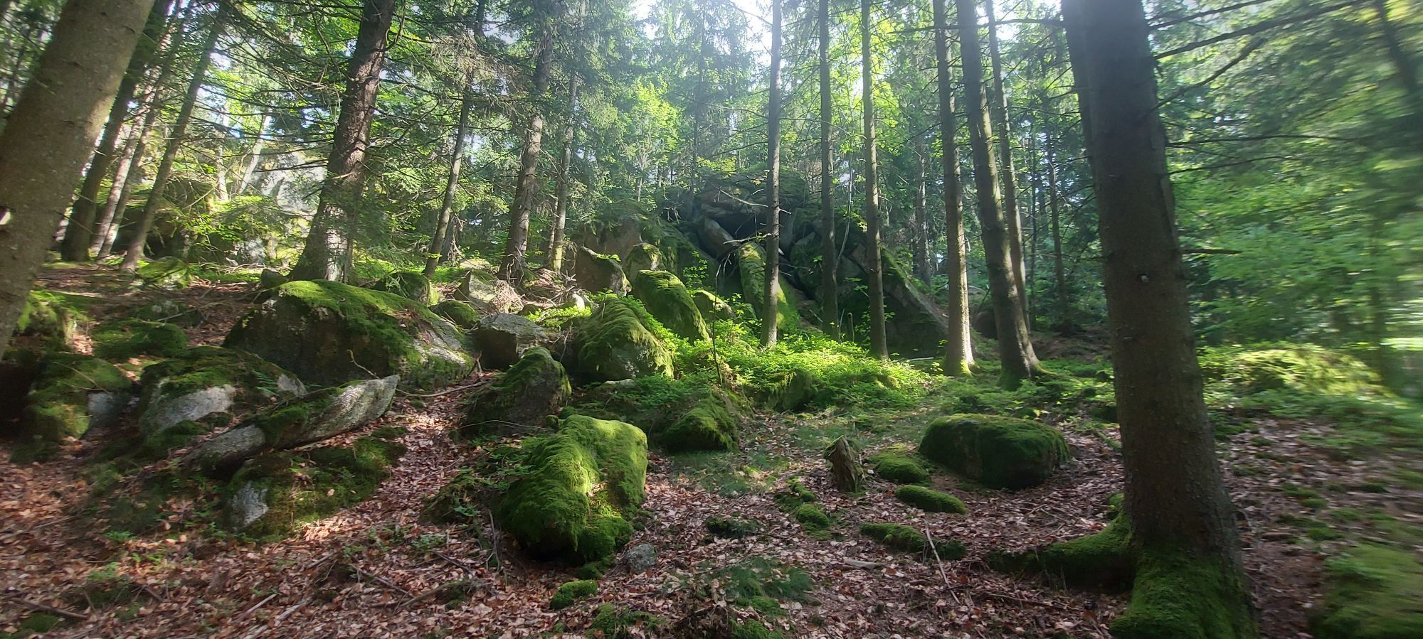
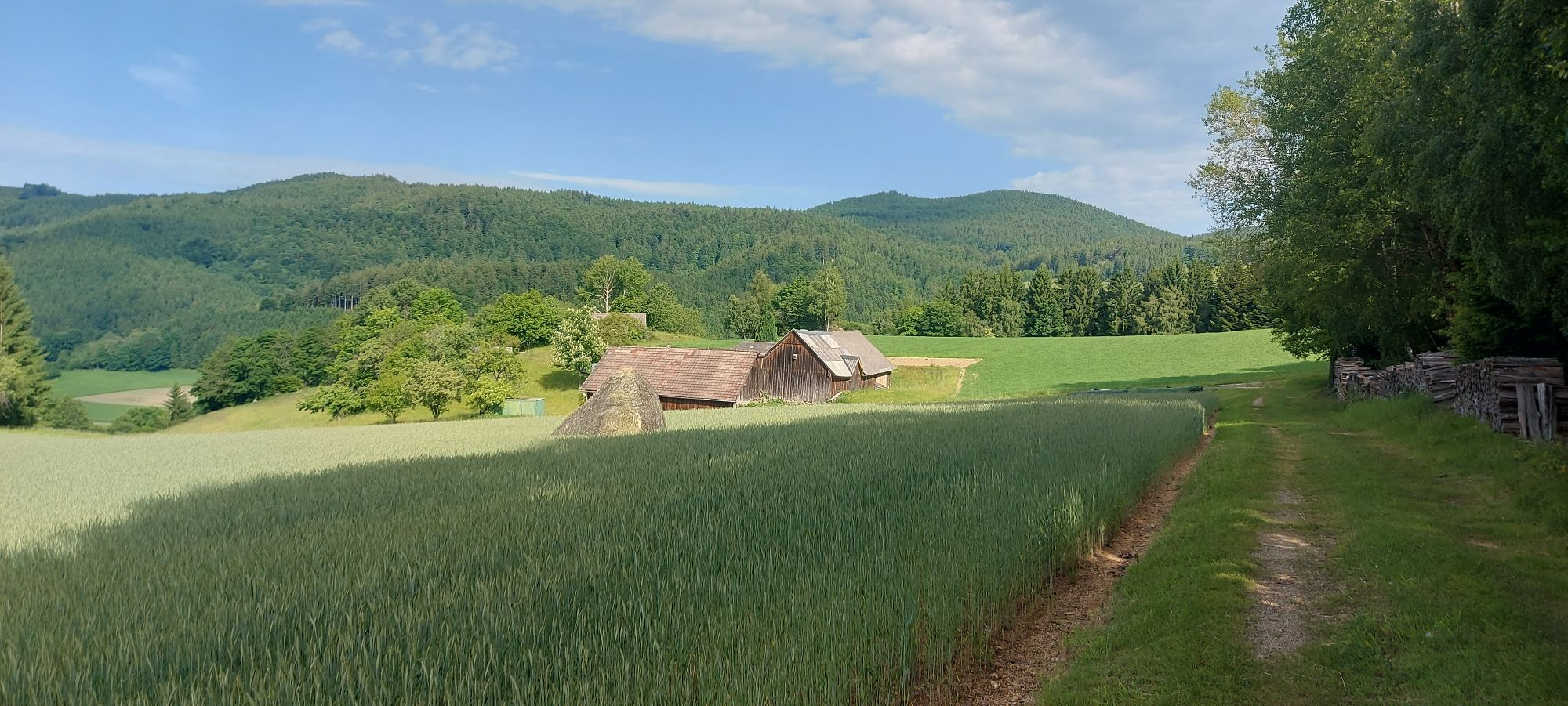
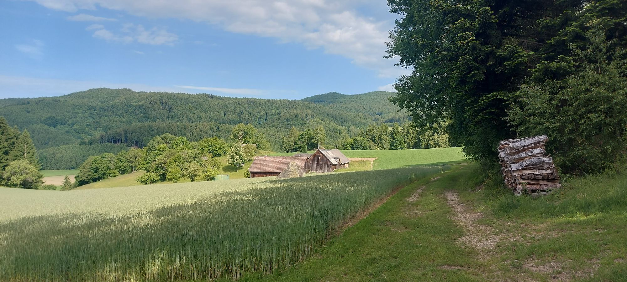
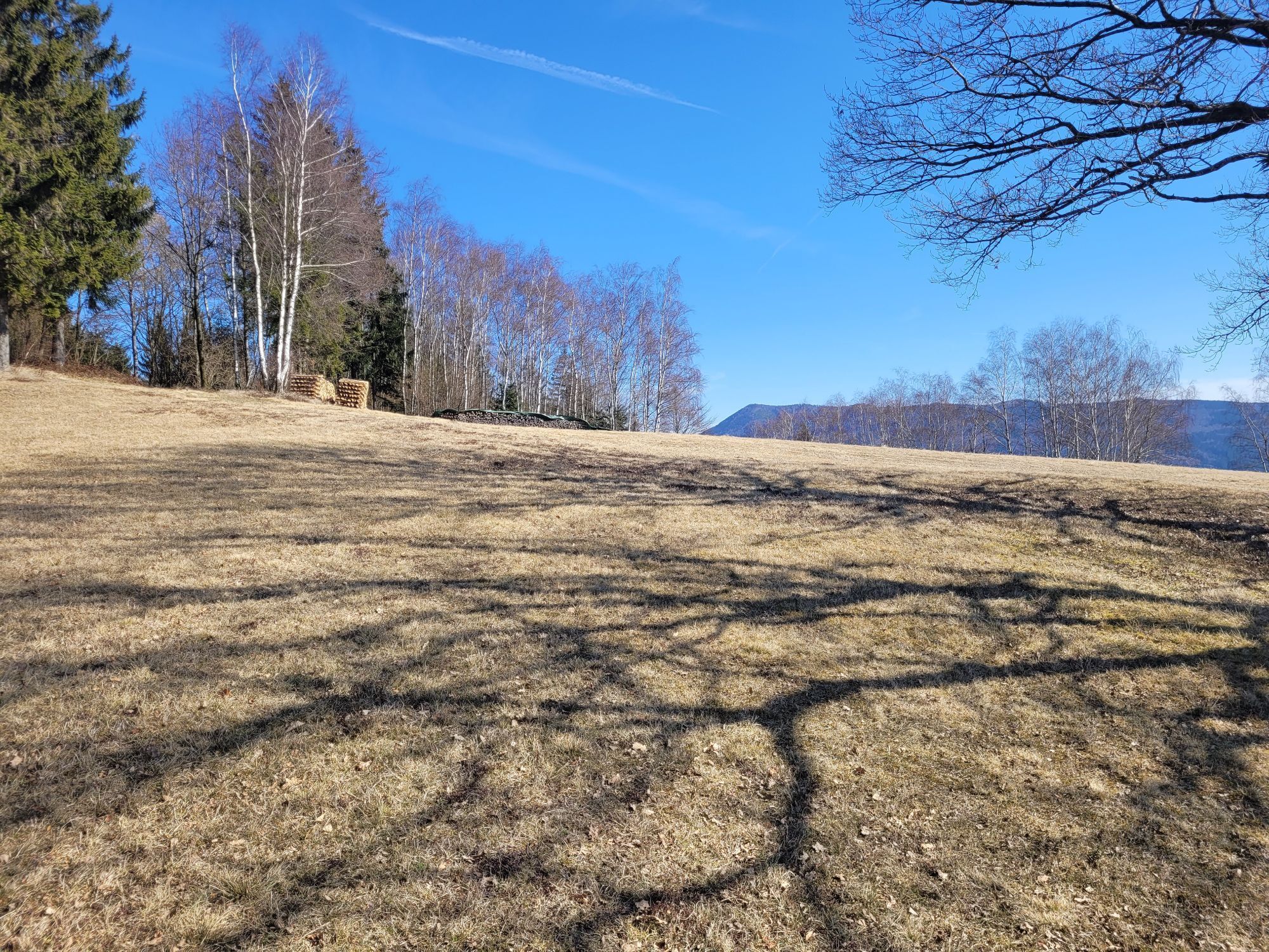
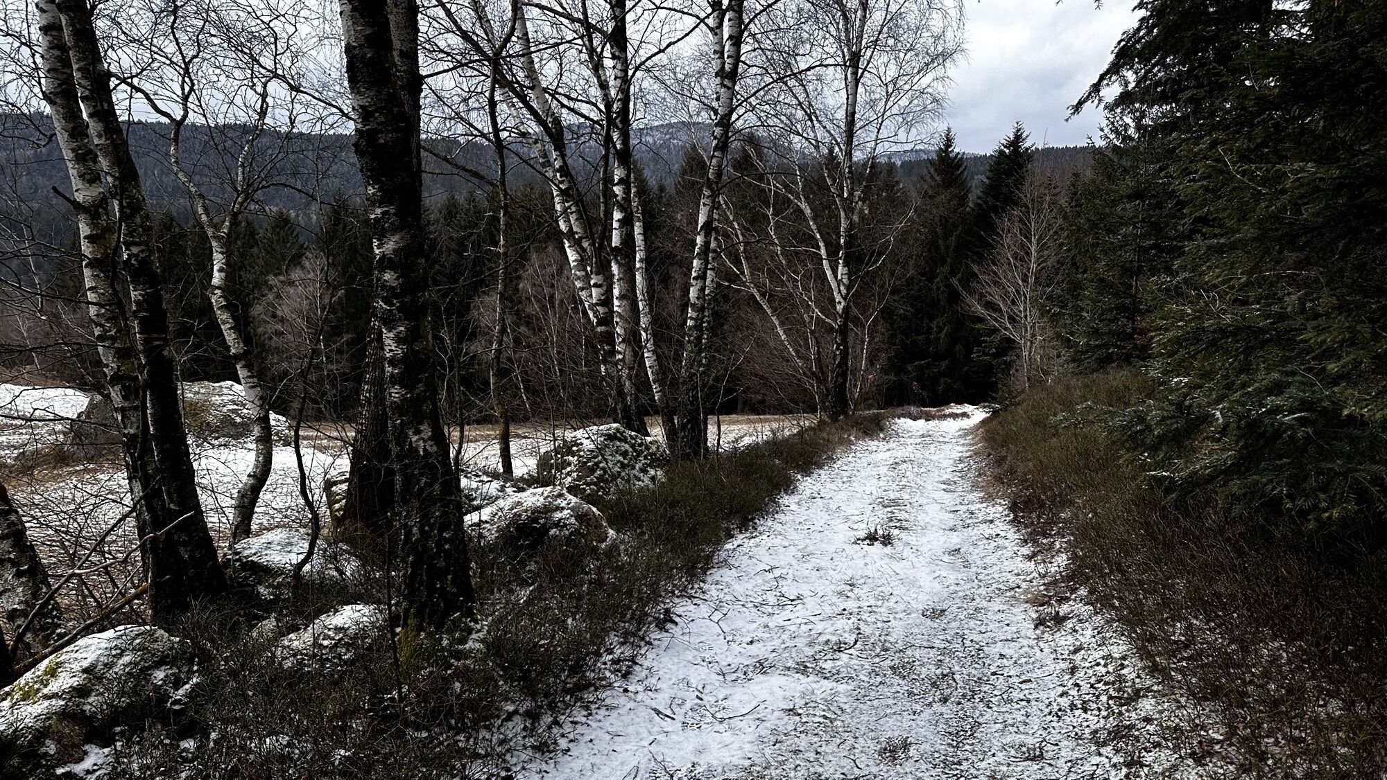
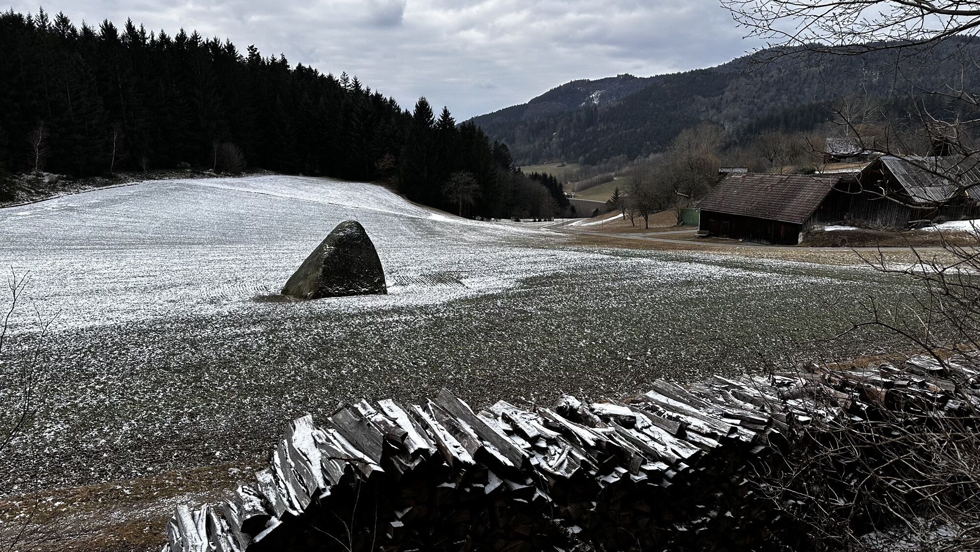
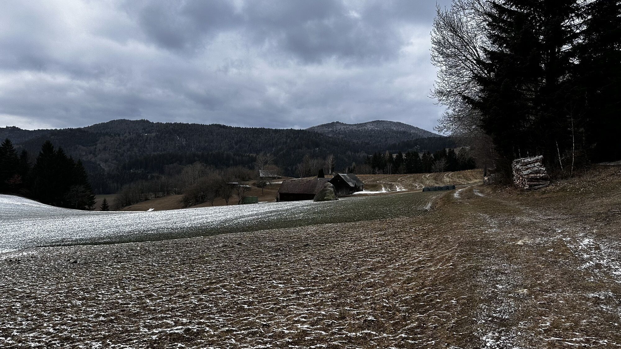
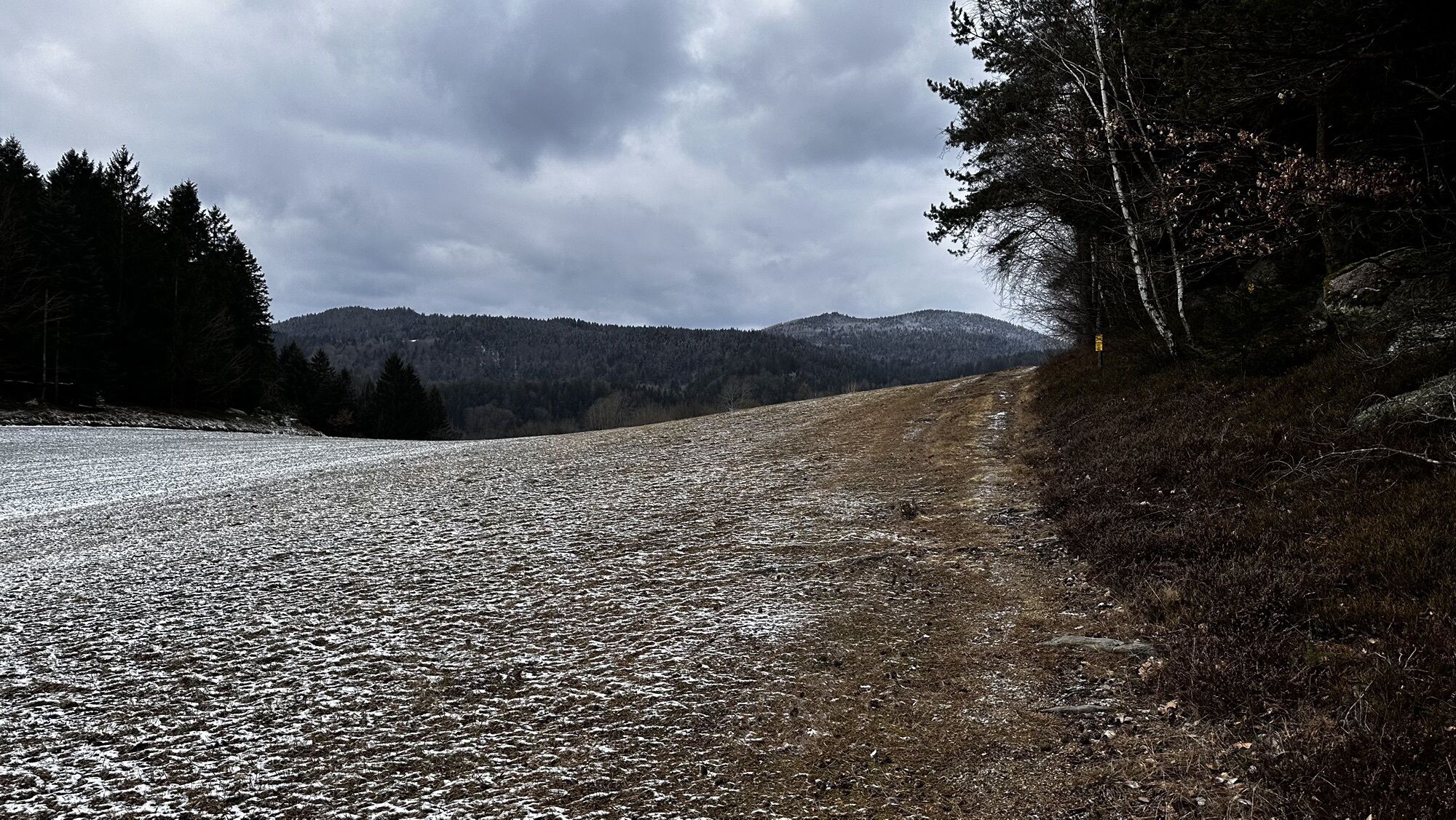
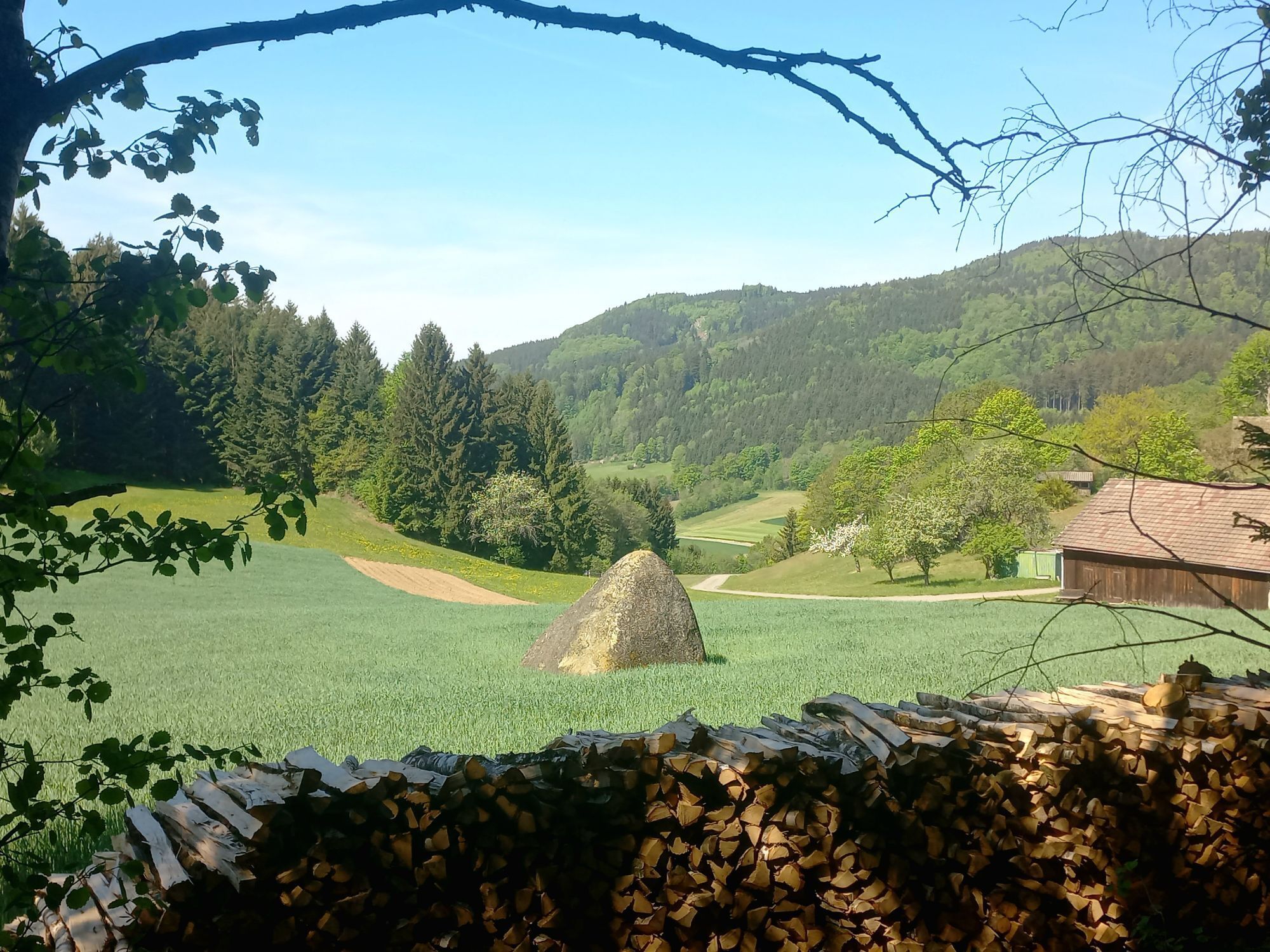
Depuis la place de l'église, le chemin mène vers le nord, tourne à droite avant le rocher branlant jusqu'à ce que l'on atteigne l'intersection Yspertal-Dorfstetten. Là, on marche environ 50 m en direction de Dorfstetten puis à droite vers la Hauptmann-Mayer Ruhe (point de vue sécurisé). De là, on traverse une jeune forêt en direction nord, le long d'un chemin forestier plat jusqu'à une prairie (à partir d'ici, le chemin suit ensemble le Herzsteinweg-Yspertal (n° 34) vers le Herzstein). Après 100 m le long du sentier en limite de forêt, on arrive au "Steinernes Kornmandl" (une pierre pyramidale au milieu d'un champ, suivant la légende un Kornmandl pétrifié car le fermier maudissait la récolte maigre. Il est aussi considéré comme une pierre calendier – le plus vieux cadran solaire du Ysper-Weitental). Au-dessus de la ferme Pireitsteiner, un chemin sur la droite mène au "Totenkopf-Drachenstein" (crâne, dont les orbites vides regardent précisément vers le nord, où selon la croyance germanique se trouvent la demeure des dieux et le royaume des morts) et au Weißenberg avec croix sommitale et livre de sommet (782 m). Retour chez Pireitsteiner, on suit la forêt vers la maison Windhager, à droite en montant vers le "Herzstein" (près de Hinterberg 838 m). Le Herzstein représente un sanctuaire double féminin et est un rocher à passer dessous. Là aussi le chemin commun se sépare et on continue tout droit vers la route provinciale n° 11, puis à gauche et chez la maison Mosgöller à droite 50 m dans le chemin rural Undeutsch. Là, la randonnée se branche à gauche dans la route forestière Süß. Le long de ce chemin forestier se trouvent de nombreuses figurines en bois sculpté. À la ferme Süßenhof à gauche, le long de la route provinciale jusqu'à la croisée menant à St. Oswald, après 300 m à droite dans le chemin forestier, à gauche dans le chemin rural et avant la croisée avec la route provinciale à droite le long du chemin forestier jusqu'au réservoir d'eau (grande station du cœur pour se reposer et admirer la vue sur St. Oswald et jusqu'aux préalpes). Puis vers le "Wackelstein", retour à St. Oswald. Possibilité de randonnée supplémentaire du réservoir d'eau jusqu'à la route forestière puis vers le Stockberg (761 m, où se trouve une "coupe de sang").
Accès depuis l'autoroute ouest A1 via Ybbs an der Donau soit par la B 36 via Yspertal jusqu'à St. Oswald, soit via Ybbs le long du Danube à l'ouest près de Ysperdorf, direction Yspertal via Fell jusqu'à St. Oswald.
Stationnement gratuit devant l'école primaire ou devant le dépôt municipal. Station de recharge pour véhicules électriques gratuite sur le parking "Leithenweg".
Commune de St. Oswald
3684 St. Oswald, Untere Hauptstraße 3
(T) +43 7415 7291
(E) gde.stoswald@wvnet.at
(I) www.stoswald.com
(Webcam) http://www.stoswald.com/Aktuelles/Webcam
Office de Tourisme Ysper-Weitental
3683 Yspertal, Hauptstraße 9
(T) +43 7415 6767-25
(E) info.yw@waldviertel.at
Waldviertel Tourismus
3910 Zwettl, Sparkassenplatz 1/2/2
(T) +43 2822 54109
(E) info@waldviertel.at
(I) www.waldviertel.at


Parcours populaires à proximité
-
4,0
Yspertal: Druidenweg - Ysperklamm
moyenRandonnée 9,56 km -
4,6
Waldhausen : circuit panoramique
moyenRandonnée 14,0 km -
4,7
Stillensteinklamm, Grein
facileRandonnée 10,4 km -
4,6
Ausgedehnte Peilsteinrunde
moyenRandonnée 13,7 km -
4,9
Stillensteinklamm Rundweg über Struden
facileRandonnée 12,6 km -
4,5
Durch die Steinwandklamm von Maria Taferl aus
facileRandonnée 8,26 km -
4,6
Brandstetterkogel über Matras Steig
facileRandonnée 6,28 km -
4,8
Herzsteinweg Ysper und Burgsteinmauer
moyenRandonnée 14,7 km -
4,9
LAIMBACH Ostrong Peilstein 20220716
moyenRandonnée 7,70 km -
4,0
Burgstall-Wanderweg Nr. 3
moyenRandonnée 11,8 km
Randonnée et suivi


Ne manquez pas les offres et l'inspiration pour vos prochaines vacances
Votre adresse électronique a été ajouté à la liste de diffusion.