







Nature Park Hohe Wand - ASAGAN treasure route
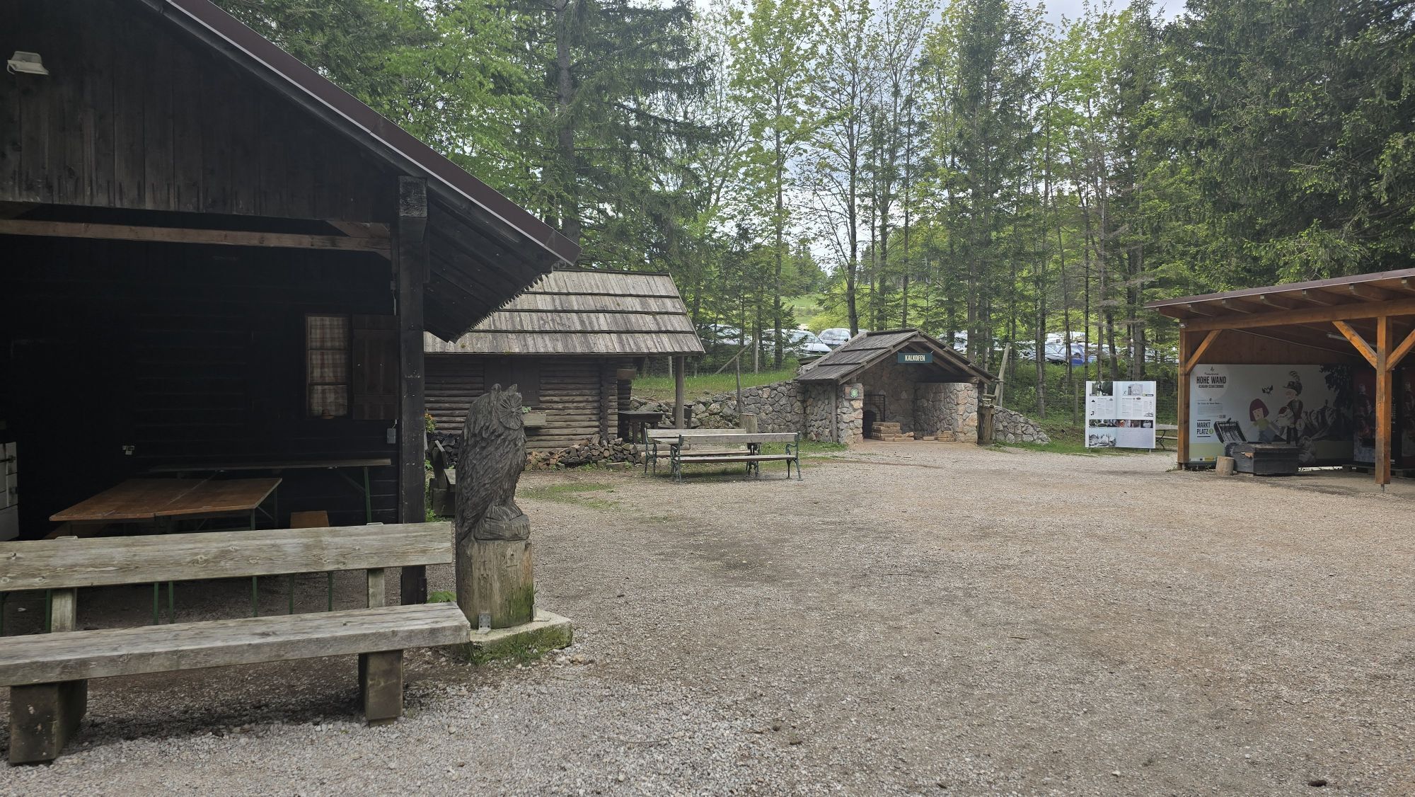
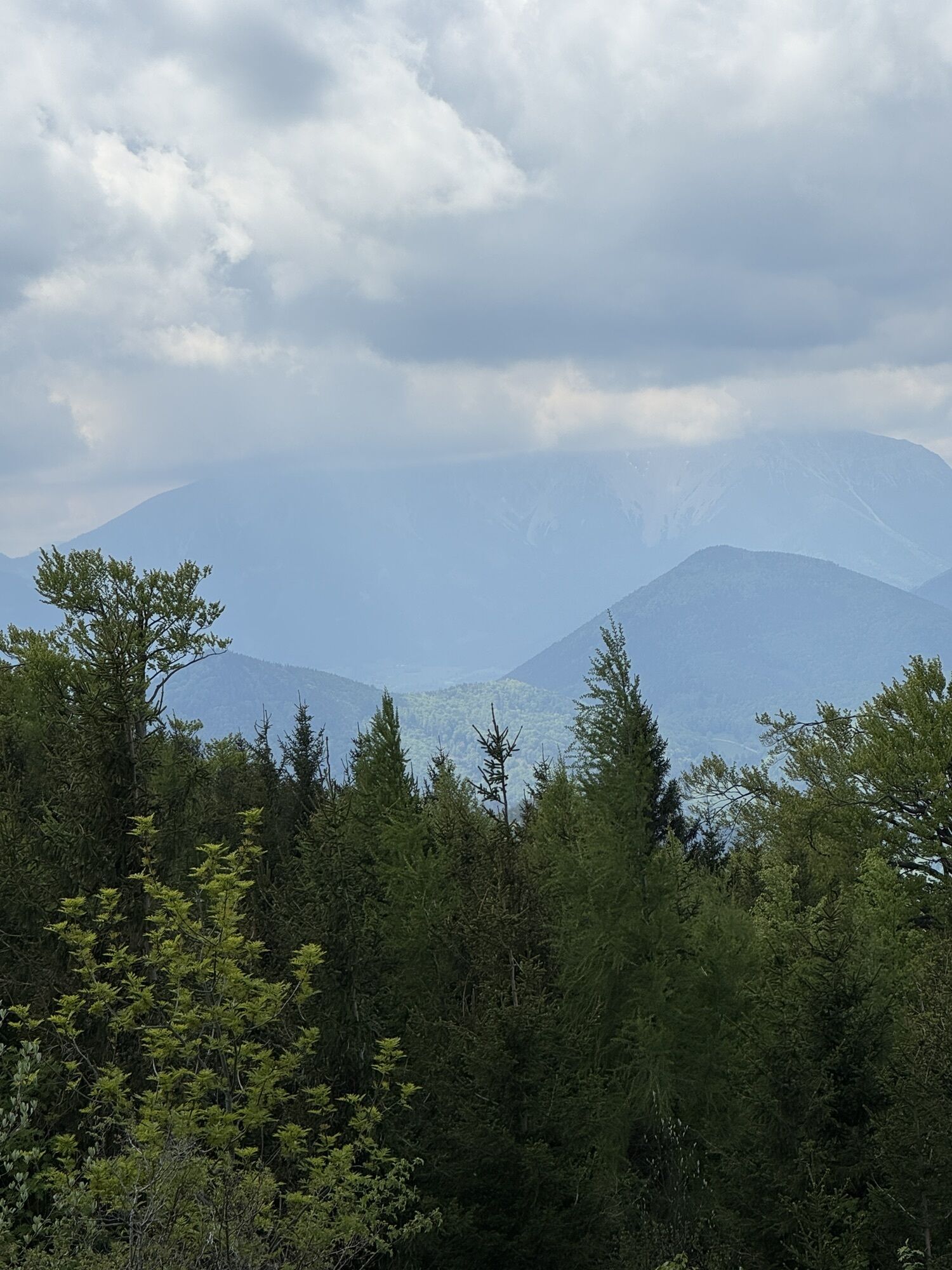
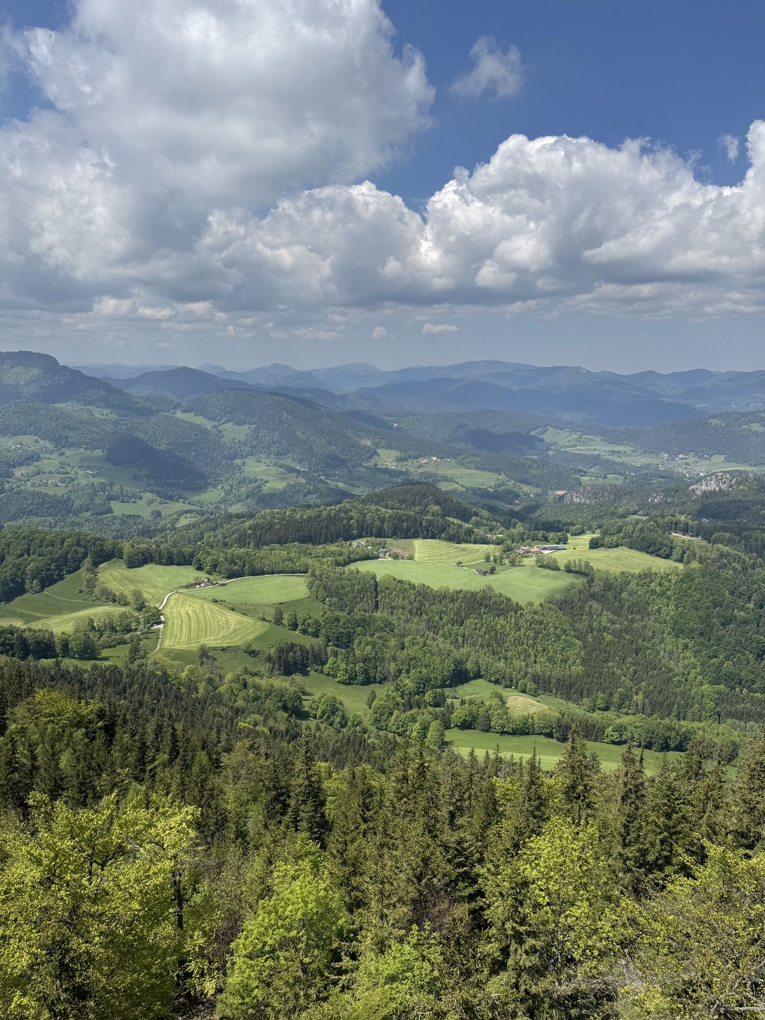
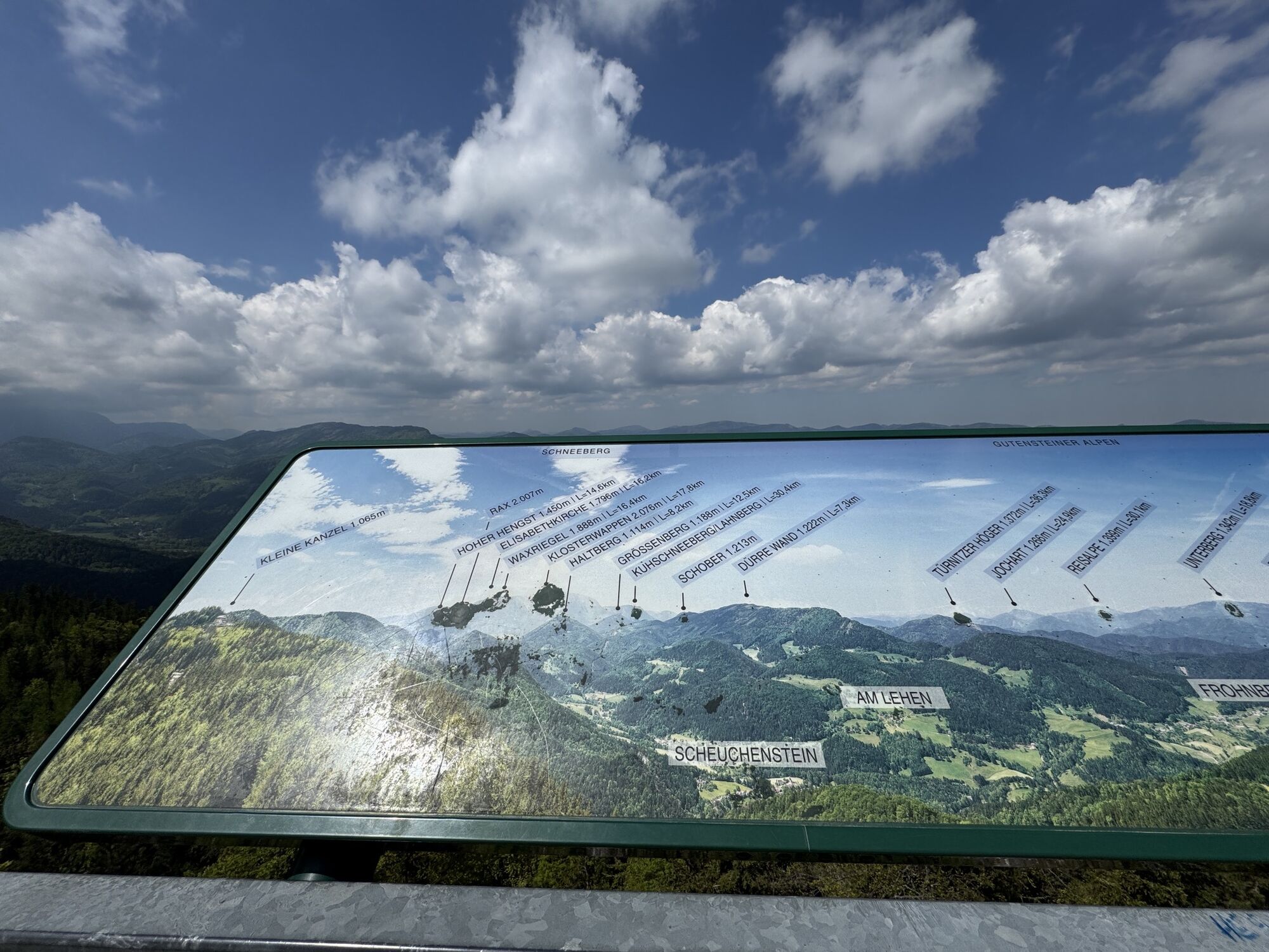
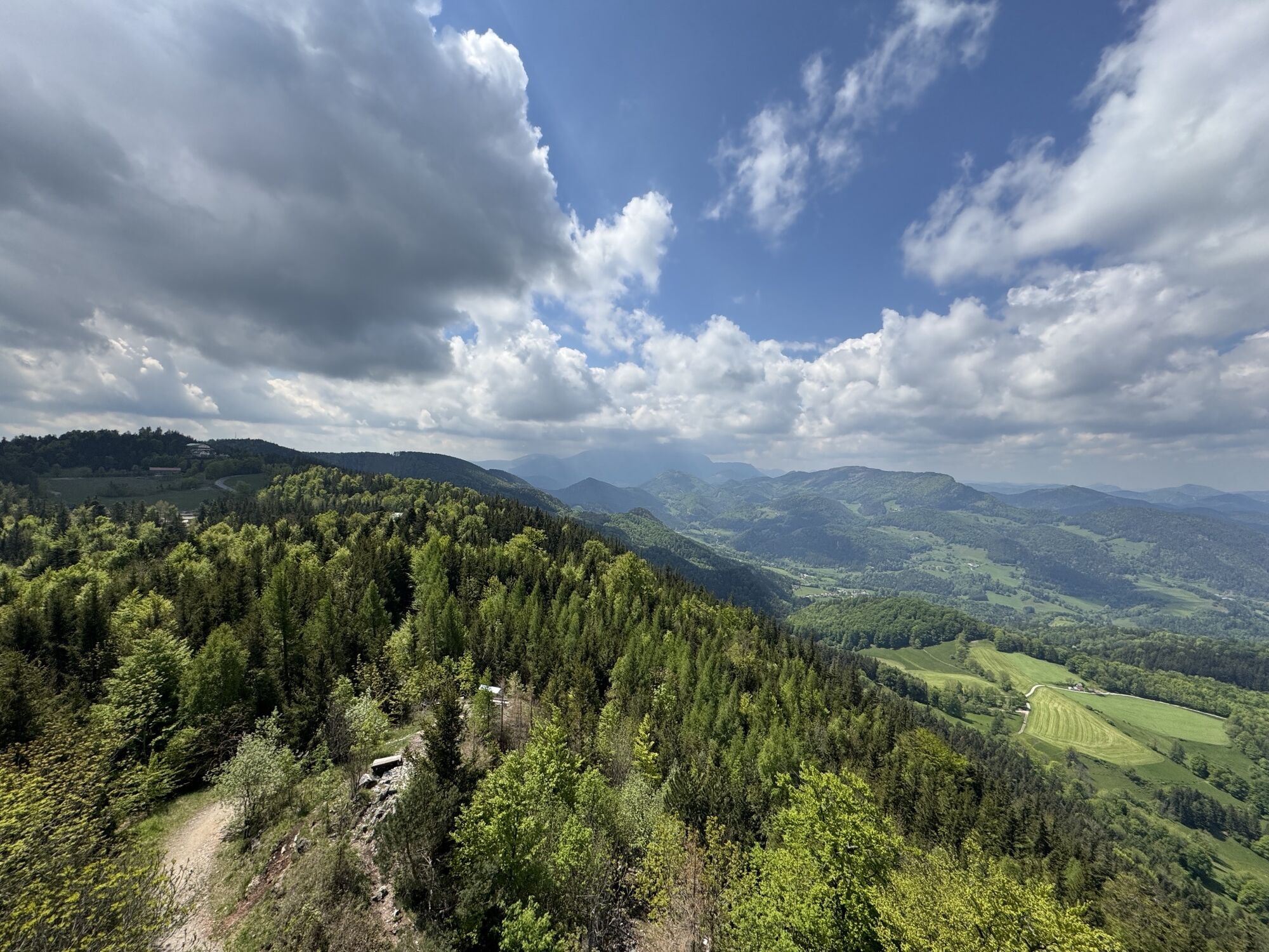
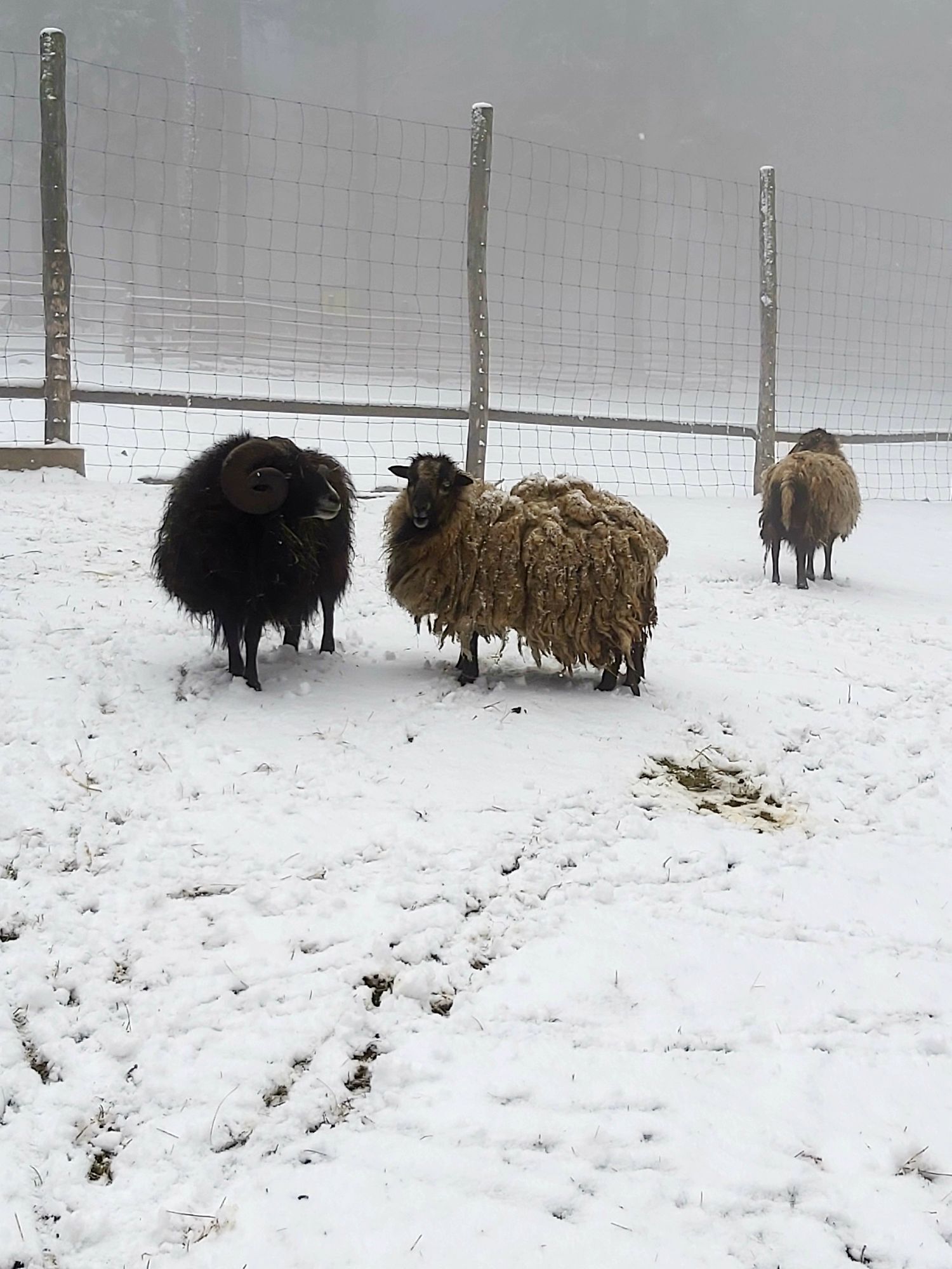
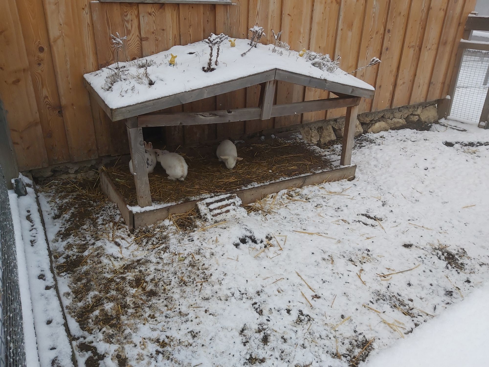
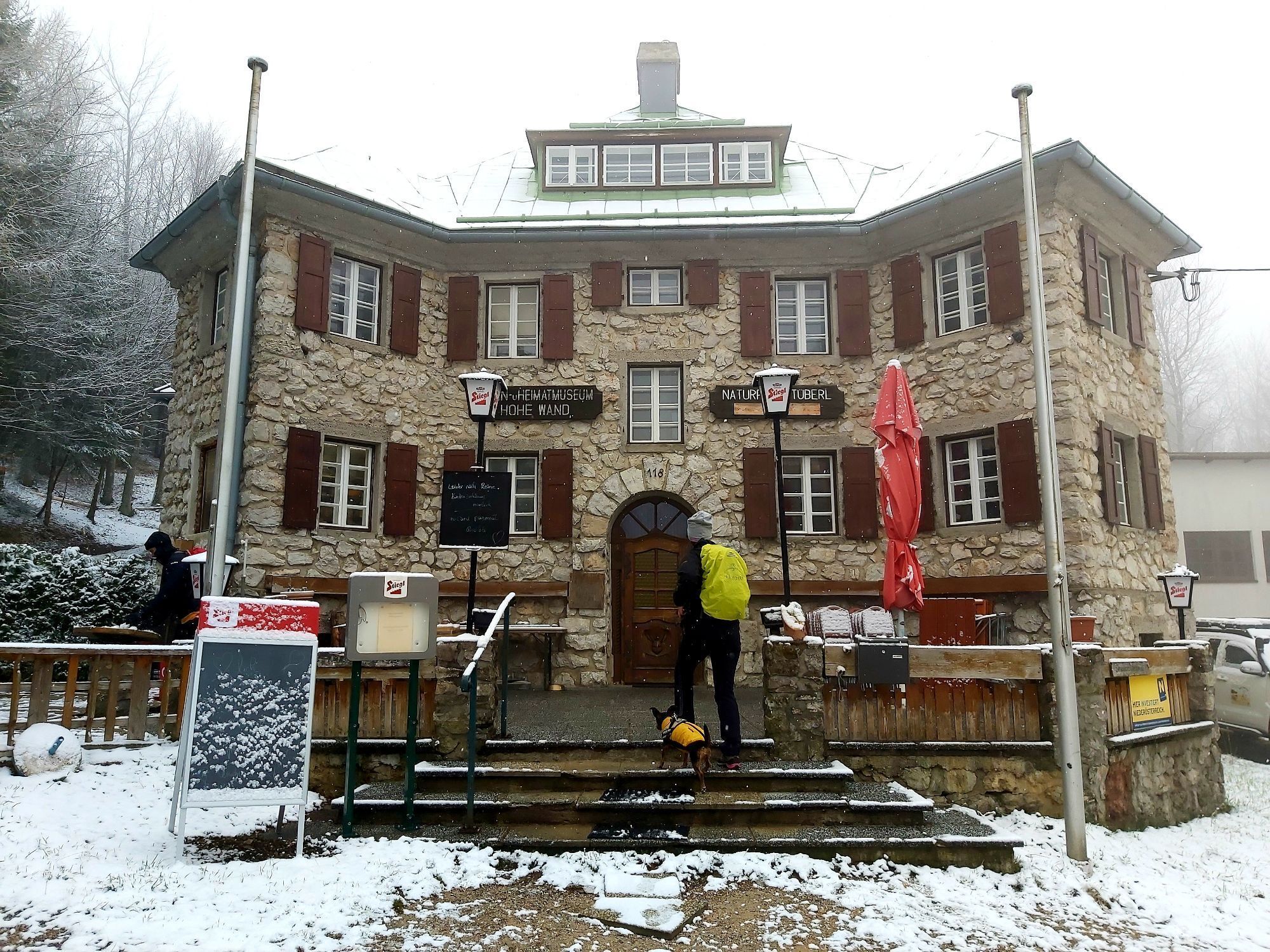
On the new ASAGAN treasure route, visitors themselves become real researchers and experience the adventure of nature up close!
They read in oversized books, draw with real charcoal on tall picture walls,...
<p>On the <strong>new ASAGAN treasure route</strong>, visitors themselves become real researchers and experience the adventure of nature up close!<br />They read in oversized books, draw with real charcoal on tall picture walls, and discover traces of animals. A <strong>treasure map</strong> guides them into the intricate animal track labyrinth, to the magical dragon place, to the high bat mountain, and into deep marmot caves. Butterfly benches, giant eggs, and forest nests let you slip into animal roles.</p><p><br /><br /></p>

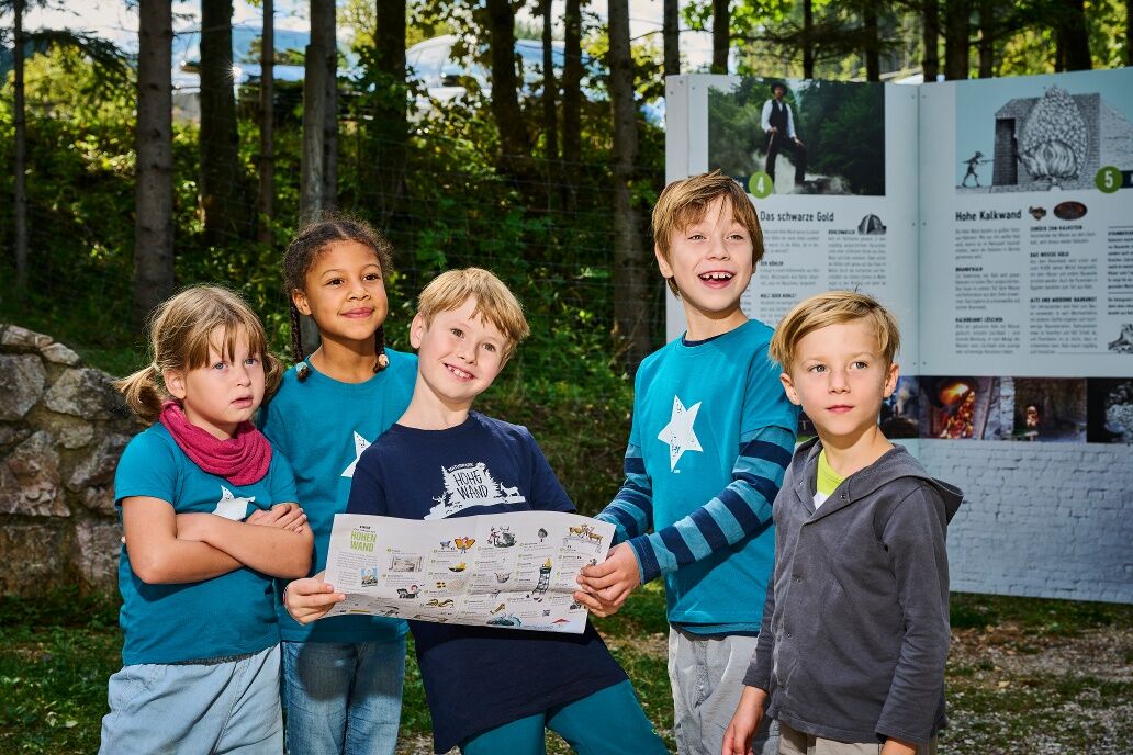
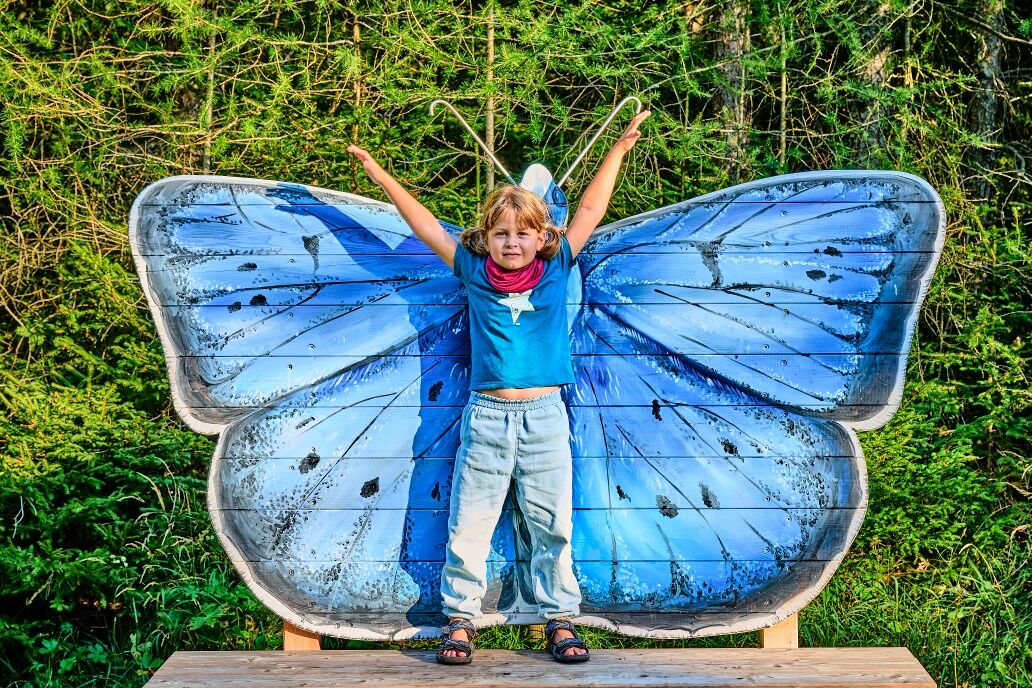
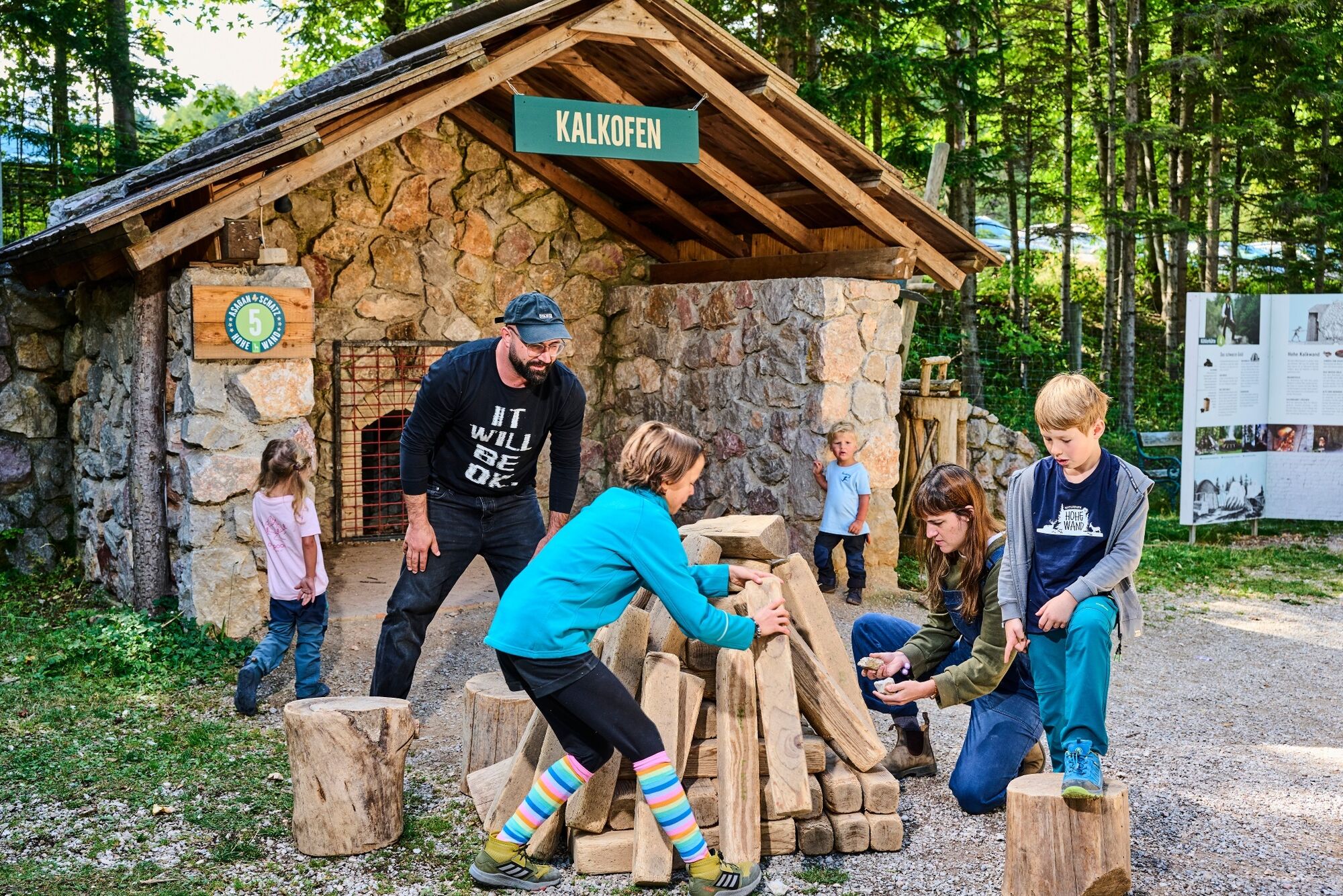
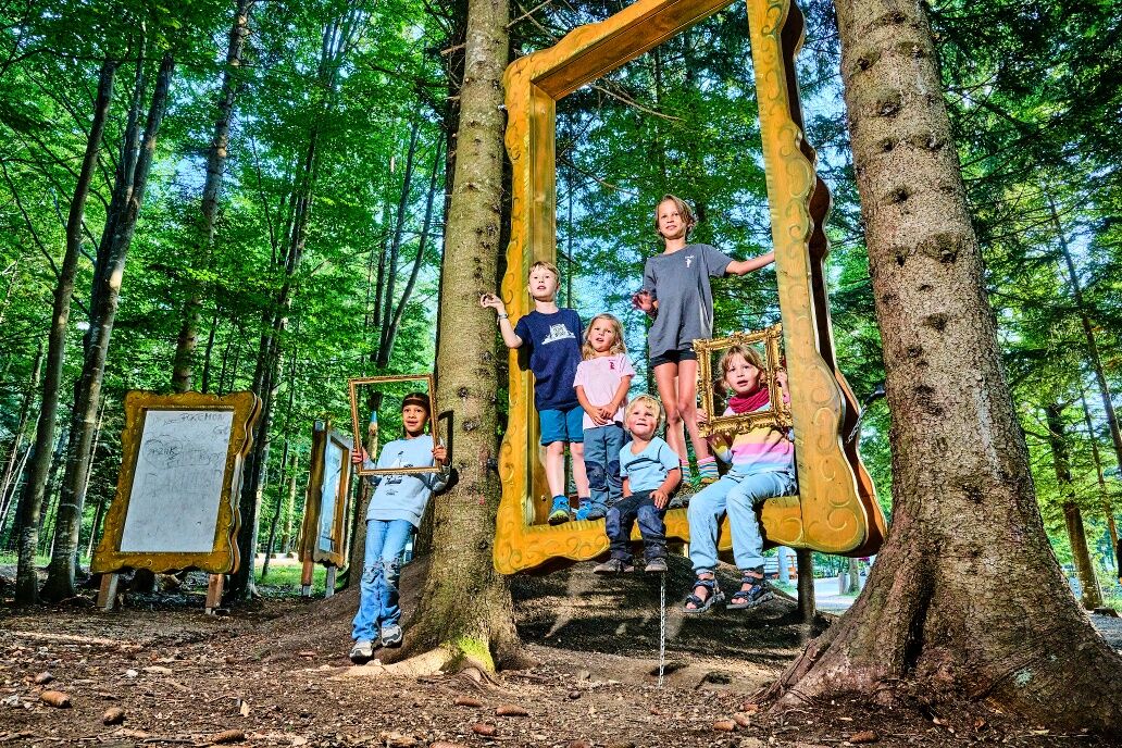

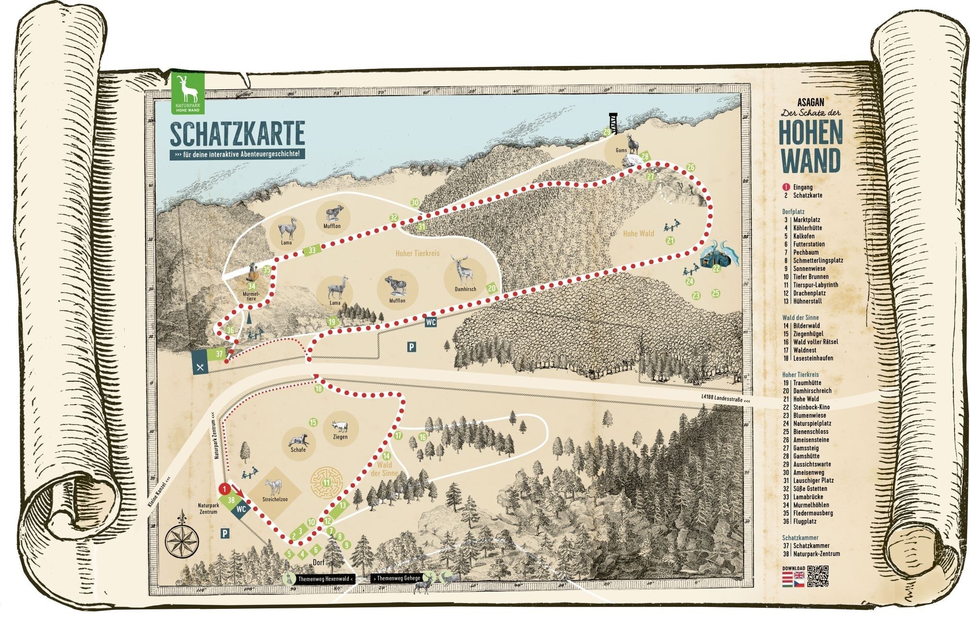

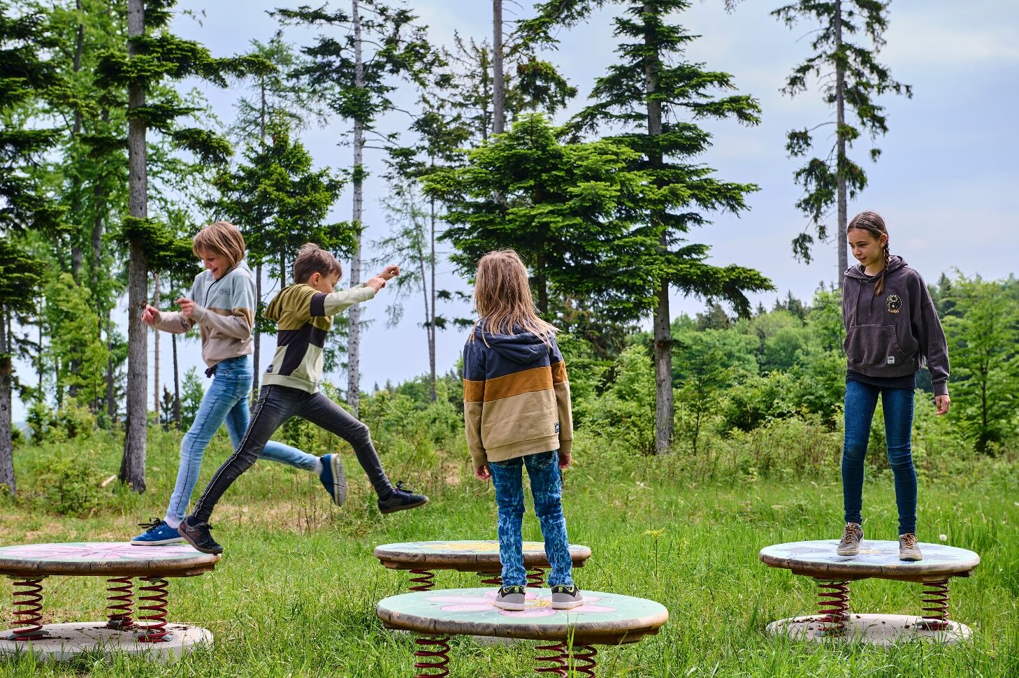

<p>Together with the heroes from the award-winning ASAGAN book series, families experience an interactive story in the new nature park. Equipped with <strong>treasure map and research booklet</strong>, they dive into the interactive adventure: Lea and Tschudi, the researcher, search for a treasure on the Hohe Wand. But the treasure chest is empty! Will the fire butterfly Tadäus and the visitors be able to help them? During their treasure hunt, the researchers browse through huge books, collect helpful clues, and eventually become real nature park researchers themselves. At the ASAGAN treasure hunt, knowledge becomes an adventure.</p><p>Another attraction awaits visitors in the clearing of the nature park at the edge of the ‘Hoher Wald’. Built from natural materials, two oversized ibexes guard their treasure: the <strong>Ibex Cinema</strong>! Knowledge is playfully conveyed here: the <strong>animated ASAGAN natural film</strong> “No Desire, Ibex” shows the Hohe Wand from a new perspective and offers new insights into the history and stories that can be experienced here. The Ibex Cinema itself is record-worthy: with only seven seats, it is probably the smallest cinema in the world. Moreover, the Ibex Cinema is located at an altitude of over 1,000 meters, making it one of the highest cinemas in the world.</p>
<p>Always take suitable <strong>maps</strong> with you. Wear sturdy <strong>shoes</strong> suited to the route, bring sun and rain protection, as well as water and a snack. Carry your <strong>mobile phone</strong> and save the mountain rescue emergency number: 140.</p>
<p>Your hikes in the Vienna Alps should be an all-around nice and safe experience. Please observe the following:</p><p><strong>Preparation</strong></p><p>Make sure that the route you choose matches your experience and <strong>fitness</strong>. Check the <strong>weather forecast</strong> in advance. Weather in the mountains can change surprisingly quickly. Therefore, always start properly equipped (e.g., rain protection).</p><p>Check whether the <strong>huts and snack stations</strong> you want to visit along the way are open. <strong>Inform</strong> someone about the chosen route and your planned return before you set out.</p>
<p>A2 South Motorway – exit Wiener Neustadt West – Weikersdorf – Winzendorf – Gaaden – Stollhof – via the mountain road to the Hohe Wand plateau.</p>
<p>Take the Südbahn from Vienna or Graz to Wr. Neustadt – change to the regional train toward Puchberg am Schneeberg to Winzendorf – change to the bus to Maiersdorf, Hohe Wand Straße junction – about 500m on the mountain road to the 1st hairpin/parking lot Sonnenuhr. From here, you can hike up the Hohe Wand in about 1 hour via various ascents.<br /> Or change in Wiener Neustadt toward Puchberg am Schneeberg – exit at Grünbach am Schneeberg – via the blue-marked Grafenbergweg, you reach the plateau at Wilhelm Eicherthütte in about 1.5 hours.<br /> Alternatively, take the Gutensteinerbahn (from Wr. Neustadt station) to Oberpiesting or Waldegg and hike onto the Hohe Wand from the back side.</p><p>More information at <a href="www.oebb.at">www.oebb.at</... and <a href="www.vor.at">www.vor.at</a&...
<p>Nature Park Center: parking lot at the animal enclosure, Kleine Kanzelstraße 241, 2724 Hohe Wand</p><p>Admission Nature Park Hohe Wand: Adults € 5.50, Children 3-15 years € 2.50 (as of April 2025)</p><p><br /><br /></p>
Nature Park Hohe Wand, www.naturpark-hohewand.at
Nature Parks Lower Austria, www.naturparke-noe.at
Vienna Alps in Lower Austria, www.wieneralpen.at, +43 / 2622 / 78960
A trip to the Hohe Wand can be nicely combined with a stay in the Schneeberg region! Bookable overnight accommodations online can be found at https://www.wieneralpen.at/unterkuenfte
Webcams de la tournée
Obtenez un aperçu
Toujours en direct avec plus de 9.500 webcams. En tant qu'utilisateur Pro, vous pouvez désormais voir les webcams correspondantes à de nombreuses randonnées dans l'application de randonnées de bergfex. Vous pouvez ainsi voir directement les conditions actuelles.
Activités le long du parcours

Parcours populaires à proximité
-
4,9
Flatzer Wand Wanderung
facileRandonnée 5,62 km -
4,8
ÖTK Klettersteig (vormals HTL Klettersteig) und Blutspur (D/E)
difficileVia ferrata 1,41 km -
4,8
Gelände vom Grünbacher Sattel
moyenRandonnée 7,52 km -
4,8
Schober- Öhler
moyenRandonnée 12,2 km -
4,8
Hohe Wand: Babygrat (1+), Rundwanderung und Wagnersteig (A)
difficileRandonnée 11,8 km -
4,8
Hohe Wand Wagnersteig - Springlessteig
moyenRandonnée 5,59 km -
4,7
Hohe Wand: Grafenbergweg - Große Kanzel - Rastkreuz - Gländ
moyenRandonnée 9,03 km -
4,6
Kleine und große Klause - Rundwanderung
facileRandonnée 7,10 km -
4,6
Grünbach - Eselsteig - Geländ
facileRandonnée 5,22 km -
4,6
Losenheim - Maumauwiesen - Sebastianfall - Losenheim
moyenRandonnée 8,32 km

Randonnée et suivi


Ne manquez pas les offres et l'inspiration pour vos prochaines vacances
Votre adresse électronique a été ajouté à la liste de diffusion.





