


Teddybärentrail Altmelon

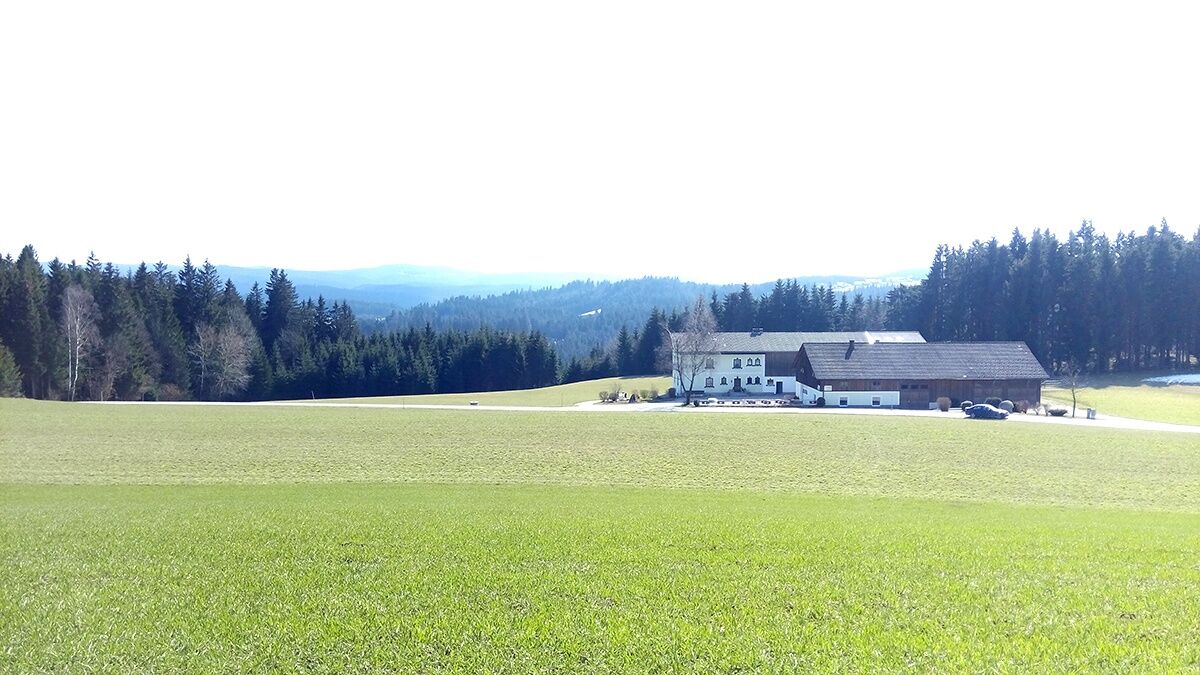
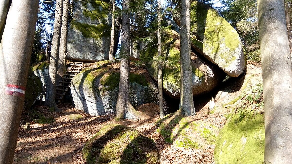
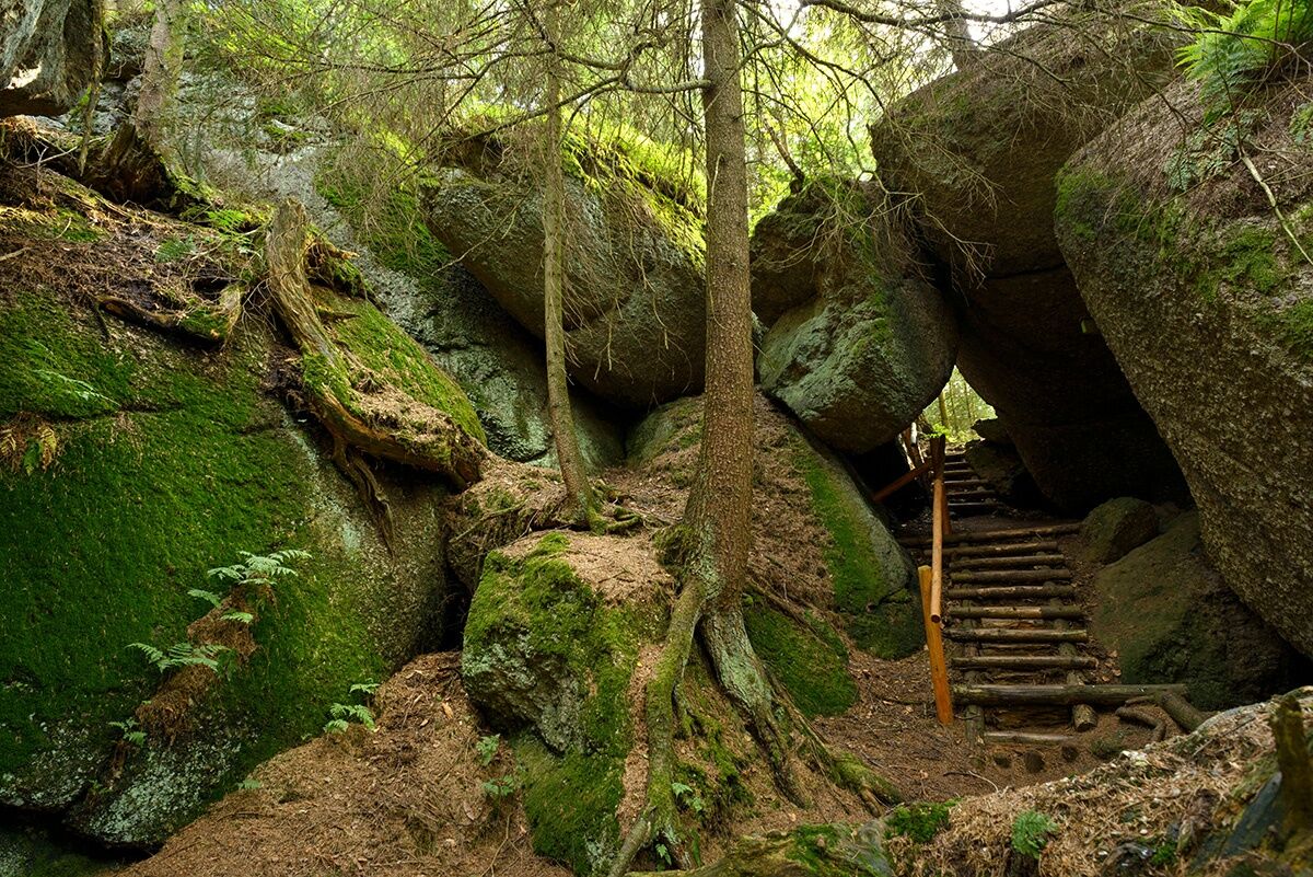
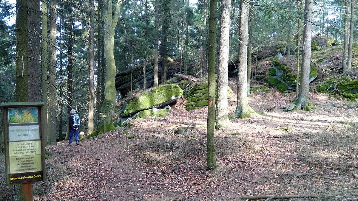
<p>From the town center, you first walk along the Kleine Bärentrail for a stretch on the federal road in a northeast direction. While the "Kleine Bärentrailer" continue briefly along the federal road, the Teddybärentrail already turns right at the junction of hiking trails 70/72. You reach a soft, idyllic forest path. Collect great impressions and photo opportunities as you walk through. At the lowest point, the Groß and Kleine Bärentrail join your Teddybärentrail again. Once at the top, you will be rewarded with a rest area and exploration of the Luaga Lucka. As soon as you see the roofs of the so-called Gaubitzhof, wooden railings and "Hendlleitern" are available to your left for exploring the Luaga Lucka. According to legend, the cave served as a shelter. The different parts are described as "Kuchl" or "Liegestätte." Upon arrival at Gaubitzhof (rest area), you reach a goods road, into which you turn right. After about 200 meters, you see a bizarre rock formation in the open field on the left, then the goods road makes a right turn, after which you turn left. At house Altmelon No. 47, you pass the idyllic rock cellar, back into the town area of Altmelon. Here, you can get a well-deserved refreshment at one of our inns.</p>
<p>Sturdy footwear, functional clothing, sun and rain protection, map material, telescopic poles if needed, first aid kit (blister plasters), sufficient supplies (snack, muesli bars, fruit, water).</p>
<p>Various rock formations are accessible by ladders. Beware of slipping hazards, especially in wet weather.</p><p>Make sure when choosing your route that it matches your fitness level. Check if the catering businesses you want to visit en route are open. Pack your charged mobile phone and map material in your backpack. For cross-border tours, always carry a passport or identity card.</p>
<p>Altmelon (B 119)</p>
<p>Bus 1380 (Altmelon town center)</p><p>Bärentrail public transport guide online at <a href="www.baerentrail.at/oeffi-guide"&... You can plan your route with the route planner of VOR: <a href="www.anachb.vor.at">www.anachb... Or simply call a Bärentrail taxi: <a href="www.baerentrail.at/baerentrail-taxis/... </p>
<p>Parking spaces in the town area of Altmelon, or near the depot/fire station</p>
A visit to the animal welfare project BÄRENWALD Arbesbach can be combined well with this short hike into a day trip. Information about local catering businesses can be found at: www.baerentrail.at/essen-schlafen
Webcams de la tournée
Parcours populaires à proximité
-
3,8
Wandern im Liebenauer Moor
facileRandonnée 4,16 km -
4,8
Ysperklamm
facileRandonnée 3,92 km -
3,9
Burgstall-Wanderweg Nr. 3
moyenRandonnée 11,8 km -
4,5
Ysperklammrunde Gutenbrunn Nr. 46
moyenRandonnée 16,8 km -
4,8
Natur-Geheimnis-Pfad Nr. 5
facileRandonnée 4,04 km -
4,3
Teddybaerentrail Lohnbachfall
facileChemin thématique 4,41 km -
5,0
Mühlbachweg Nr. 2
facileRandonnée 12,5 km -
3,6
Bärnkopf Ysperklammstrecke
difficileVTT 31,0 km -
4,6
Rappottenstein
facileRandonnée 10,1 km -
4,8
Ysperklamm
moyenRandonnée 8,74 km

Randonnée et suivi


Ne manquez pas les offres et l'inspiration pour vos prochaines vacances
Votre adresse électronique a été ajouté à la liste de diffusion.