
Krumau am Kamp - Kath. Pfarrkirche hl. Margarethe - Filialkirche hl. Laurentius - Gasthaus Hauer
difficile
Télécharge cette visite sur ton portable
Krumau am Kamp - Kath. Pfarrkirche hl. Margarethe - Filialkirche hl. Laurentius - Gasthaus Hauer
difficile
Vélo de course
57,91
km
Scanner le code QR et commencer la navigation dans l'application bergfex


Randonnée & tracking



Krumau am Kamp - Kath. Pfarrkirche hl. Margarethe - Filialkirche hl. Laurentius - Gasthaus Hauer
difficile
Distance
57,9
km
Durée
03:19
h
Ascension
1 133
m
Altitude
367 -
728
m

Naviguez dans votre circuit depuis l'application
Téléchargez gratuitement l'application et suivez votre parcours grâce à la navigation GPS et au suivi.
Profitez dès maintenant d'bergfex, dans l'application
Scannez le code QR avec votre appareil photo
Une fois l'application installée, le contenu s'ouvre directement. Si vous ne disposez pas encore de l'application, vous serez redirigé vers la page de téléchargement gratuit.
Téléchargement de la piste
Krumau am Kamp - Kath. Pfarrkirche hl. Margarethe - Filialkirche hl. Laurentius - Gasthaus Hauer
difficile
Vélo de course
57,91
km
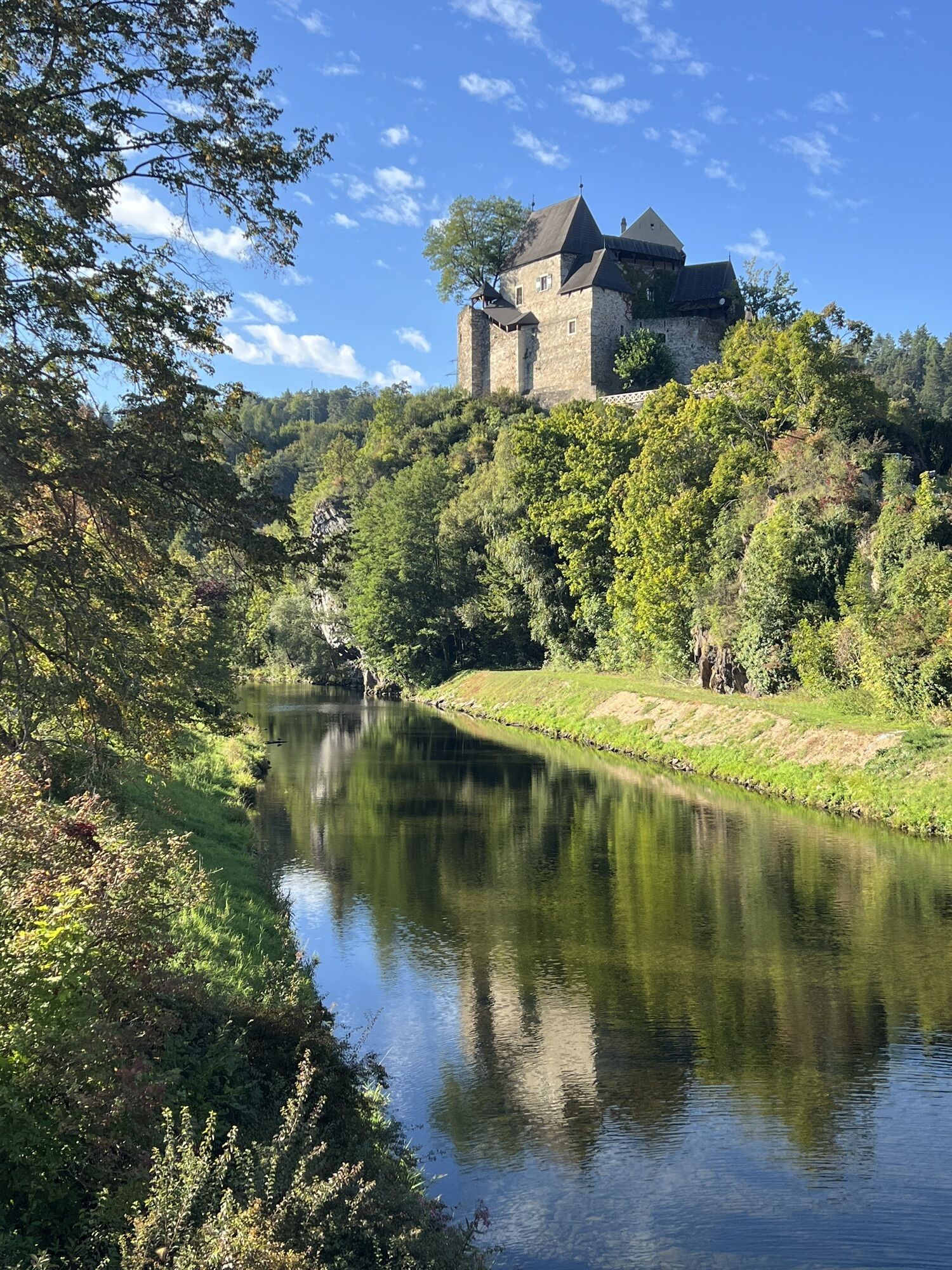
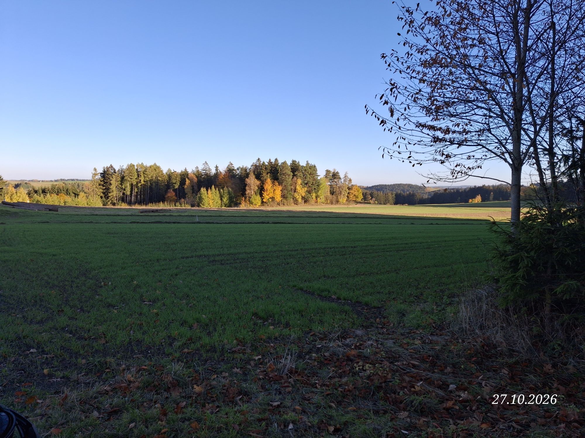
Parcours
Kath. Pfarrkirche hl. Margarethe
(369 m)
Lieu de culte
0,1 km
Ortskapelle Preinreichs
(487 m)
Lieu de culte
2,6 km
Gföhl
(579 m)
Ville
10,5 km
Garmanns
(523 m)
Village
13,0 km
Filialkirche hl. Laurentius
(703 m)
Lieu de culte
29,3 km
hl. Kajetan
(668 m)
Lieu de culte
40,9 km
Pfarrkirche hll. Philippus und Jakobus
(605 m)
Lieu de culte
45,1 km
Parcours
Krumau am Kamp - Kath. Pfarrkirche hl. Margarethe - Filialkirche hl. Laurentius - Gasthaus Hauer
difficile
Vélo de course
57,91
km
Gasthaus Hauer
(370 m)
Restaurant
0,0 km
Krumau am Kamp
(370 m)
Village
0,0 km
Heurigen-Gasthof Prinz
(368 m)
Restaurant
0,1 km
Kath. Pfarrkirche hl. Margarethe
(369 m)
Lieu de culte
0,1 km
Gasthof Kern "Zum braunen Hirschen"
(368 m)
Restaurant
0,1 km
Ortskapelle Preinreichs
(487 m)
Lieu de culte
2,6 km
Gasthaus Ehrgott
(488 m)
Restaurant
2,8 km
Preinreichs
(488 m)
Village
2,8 km
Eisenbergamt
(553 m)
Lotissement
5,0 km
Seitl
(573 m)
Lotissement
6,1 km
Schmutz - Klaffl
(581 m)
Lotissement
6,3 km
Lehenhüttl
(598 m)
Lotissement
8,7 km
Schloßtaverne Kargl
(595 m)
Restaurant
8,9 km
Jaidhof
(596 m)
Village
9,0 km
Gföhl
(579 m)
Ville
10,5 km
Alt Gföhl
(561 m)
Lotissement
10,8 km
Garmanns
(523 m)
Village
13,0 km
Reittern
(582 m)
Village
14,2 km
Gasthaus Reinhard Dorrer
(594 m)
Restaurant
16,2 km
Rastbach
(599 m)
Lotissement
16,2 km
Moritzreith
(574 m)
Village
18,0 km
Pallweis
(621 m)
Village
19,9 km
Brunn am Wald
(615 m)
Village
23,1 km
Zur Linde
(634 m)
Restaurant
24,5 km
Lichtenau
(636 m)
Village
24,5 km
Pfarrkirche hl. Ägydius
(639 m)
Lieu de culte
24,6 km
Zum goldenen Pflug
(635 m)
Restaurant
24,6 km
Ladings
(674 m)
Village
26,5 km
Ebergersch
(672 m)
Village
27,6 km
Filialkirche hl. Laurentius
(703 m)
Lieu de culte
29,3 km
Allentsgschwendt
(701 m)
Village
29,3 km
Engelschalks
(677 m)
Lotissement
30,4 km
Kornberg
(707 m)
Village
33,1 km
Großreinprechts
(705 m)
Village
34,8 km
Gloden
(702 m)
Village
35,6 km
Moniholz
(672 m)
Village
38,0 km
Erlau
(699 m)
Couloir/terrain
38,9 km
hl. Kajetan
(668 m)
Lieu de culte
40,9 km
Jeitendorf
(666 m)
Village
40,9 km
Erdweis
(641 m)
Village
43,5 km
Gasthof Fischlmayer
(607 m)
Restaurant
45,1 km
Pfarrkirche hll. Philippus und Jakobus
(605 m)
Lieu de culte
45,1 km
Niedergrünbach
(602 m)
Village
45,1 km
Sperkental
(602 m)
Village
46,6 km
Mottingeramt
(565 m)
Lotissement
49,6 km
Gasthof Gamerith
(608 m)
Restaurant
50,7 km
Hauergraben
(480 m)
Couloir/terrain
54,1 km
Gasthof Kern "Zum braunen Hirschen"
(368 m)
Restaurant
57,8 km
Kath. Pfarrkirche hl. Margarethe
(369 m)
Lieu de culte
57,8 km
Heurigen-Gasthof Prinz
(368 m)
Restaurant
57,8 km
Krumau am Kamp
(370 m)
Village
57,9 km
Gasthaus Hauer
(370 m)
Restaurant
57,9 km


Pas encore d'évaluation

Toutes les webcams sur une carte
Téléchargez gratuitement l'application et comparez les images en direct de plusieurs lieux avant de partir.
Profitez dès maintenant d'bergfex, dans l'application
Scannez le code QR avec votre appareil photo
Une fois l'application installée, le contenu s'ouvre directement. Si vous ne disposez pas encore de l'application, vous serez redirigé vers la page de téléchargement gratuit.
Parcours populaires à proximité
-
4,4
Welterbesteig Wachau 02: Dürnstein-Weißenkirchen
facileChemin de Grande Randonnée 15,9 km -
4,5
Welterbesteig Wachau 03: Weißenkirchen-Spitz
facileChemin de Grande Randonnée 10,4 km -
4,7
Rundhöhenwanderweg Weißenkirchen in der Wachau - Schildhütten - Cholerakreuz - Weißenkirchen
facileRandonnée 8,70 km -
4,6
Panoramaweg Weissenkirchen
facileRandonnée 5,04 km -
4,3
Stauseerunde
moyenRandonnée 9,56 km -
4,2
Kampseen Rundweg Thurnberg - Krumau am Kamp
facileRandonnée 9,04 km -
3,9
Spitz - Buchberg - Runde
moyenRandonnée 9,60 km -
4,4
St. Michael - Buschandlwand - Runde
moyenRandonnée 10,6 km -
4,2
Stausee Ottenstein
facileRandonnée 5,13 km -
4,6
Rotes Tor Tour durch den Wald
facileRandonnée 6,40 km
Randonnée et suivi

Plus de 550.000 propositions de circuits, des cartes détaillées et un planificateur d'itinéraire intuitif font de cette application un must pour tous les passionnés de nature.

Ne manquez pas les offres et l'inspiration pour vos prochaines vacances
S'inscrire à la newsletter
Erreur
Une erreur s'est produite. Veuillez réessayer.
Merci pour votre inscription
Votre adresse électronique a été ajouté à la liste de diffusion.
Parcours en Europe
Autriche
Suisse
Allemagne
Italie
Slovénie
France
Pays-Bas
Belgique
Pologne
Liechtenstein
République tchèque
Slovaquie
Espagne
Croatie
Bosnie-Herzégovine
Luxembourg
Andorre
Portugal
Islande
Royaume-Uni
Irlande
Grèce
Albanie
Macédoine du Nord
Malte
Norvège
Monténégro
Moldavie
Kosovo
Hongrie
Saint-Marin
Roumanie
Estonie
Lettonie
Bélarus
Chypre
Lituanie
Serbie
Bulgarie
Monaco
Danemark
Suède
Finlande


