







Kuenringerland

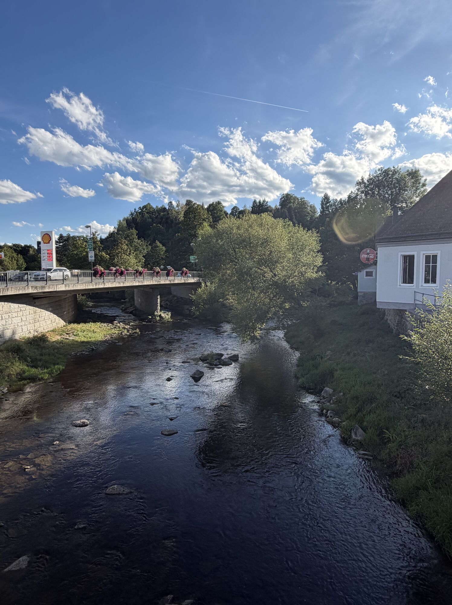
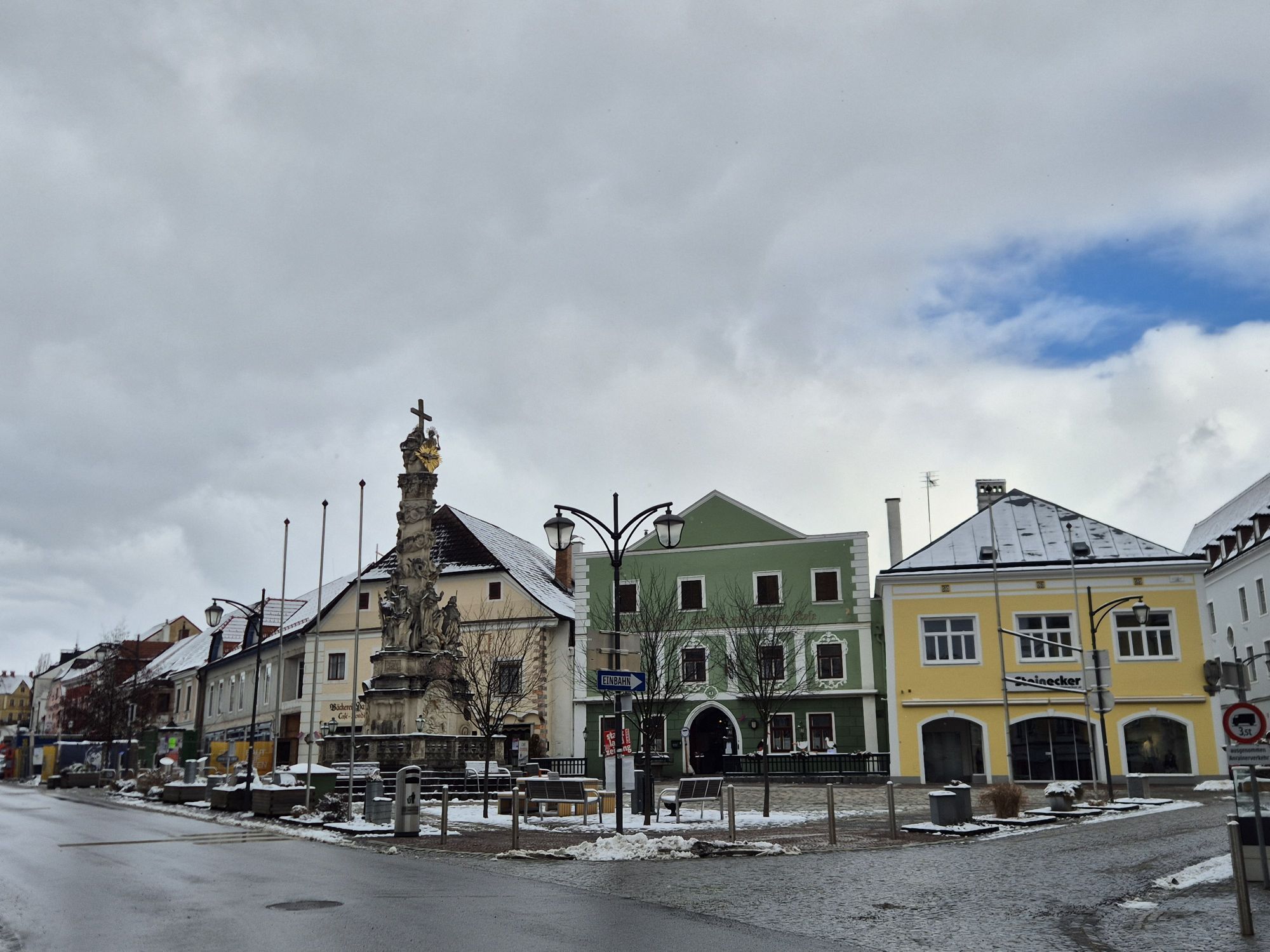
On the “Kuenringerland” bike route, you’ll experience the typical rolling countryside around Zwettl with its dense forests, lush meadows, and traditional villages. Along the way, you’ll follow in the historical...
On the “Kuenringerland” bike route, you’ll experience the typical rolling countryside around Zwettl with its dense forests, lush meadows, and traditional villages. Along the way, you’ll follow in the historical footsteps of the Kuenringers and the Cistercians.
This bike tour was developed as part of the “ATCZ00007 CISTERSCAPES VB-Zw-ZnS” project and funded by the Interreg Austria-Czech Republic program
Note: The tour will not be fully signposted until spring 2027!

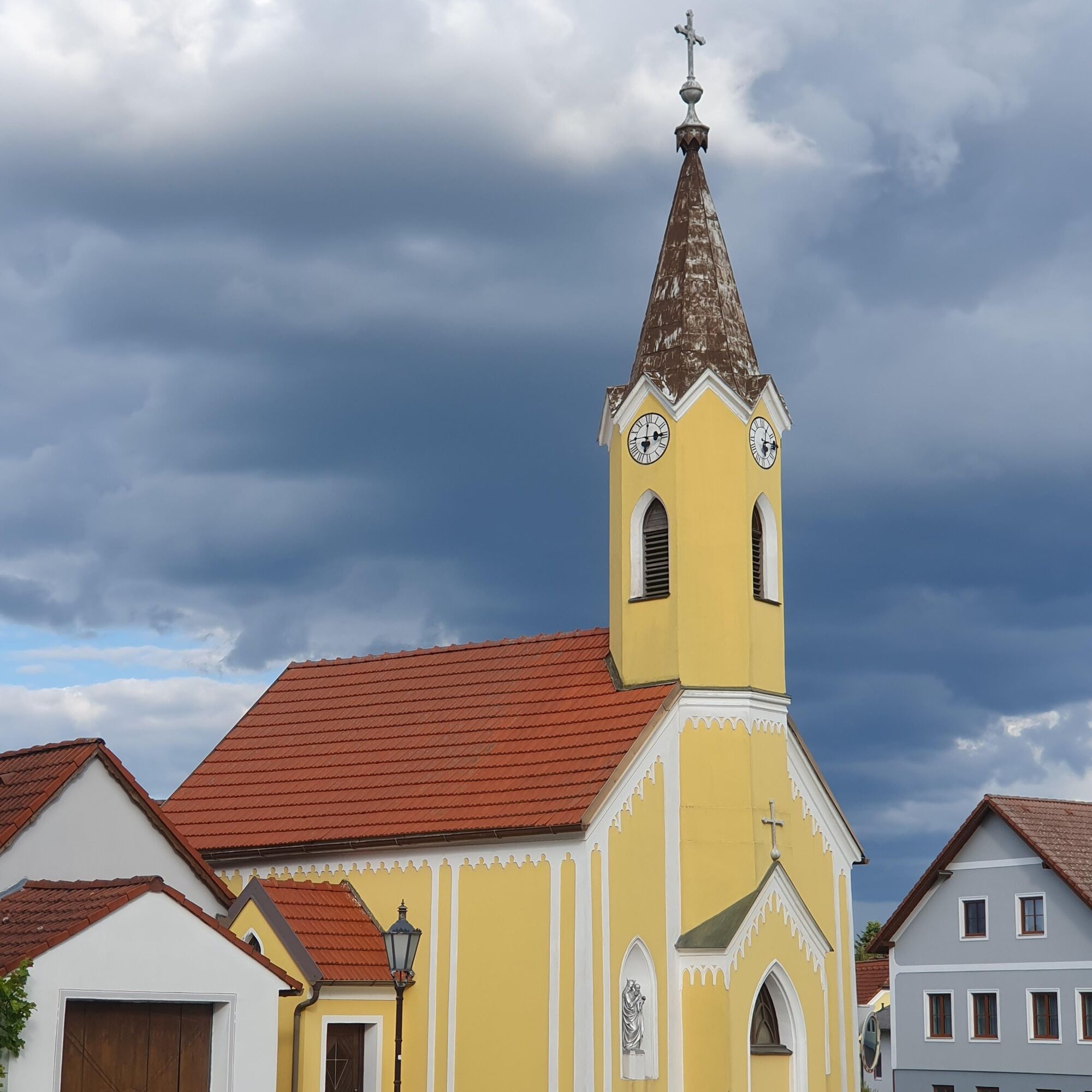
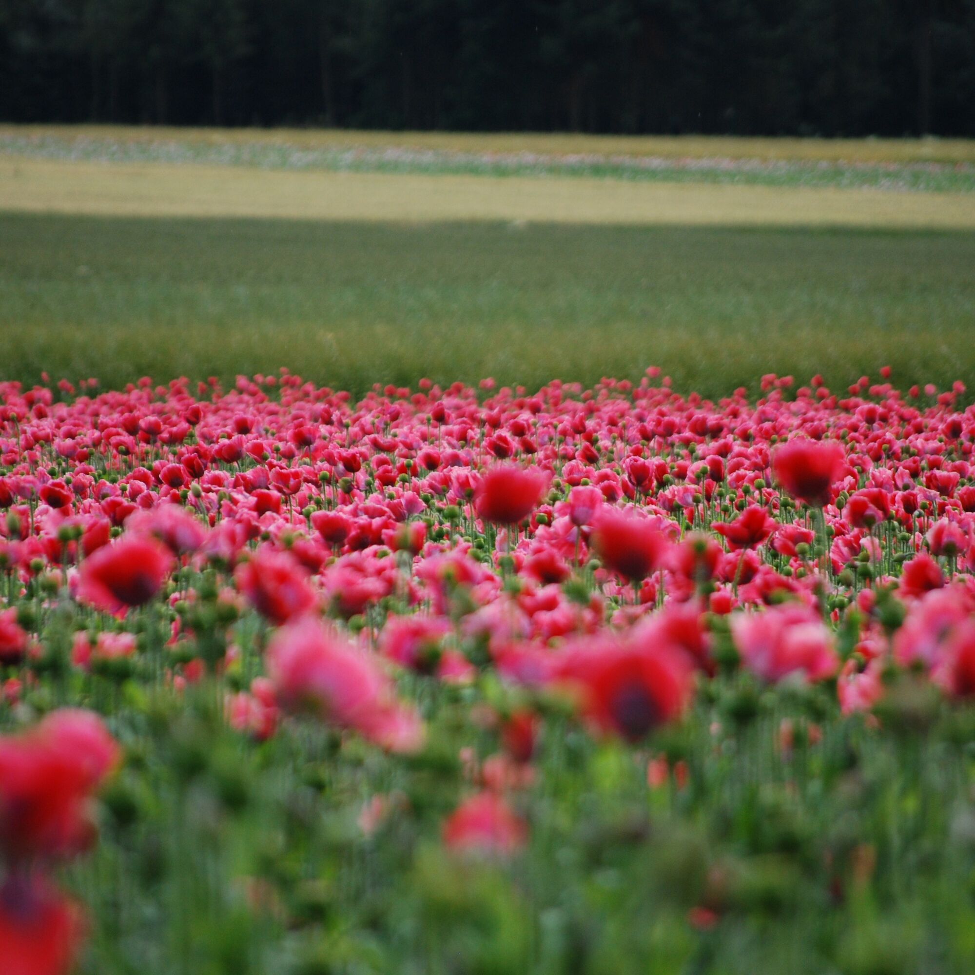
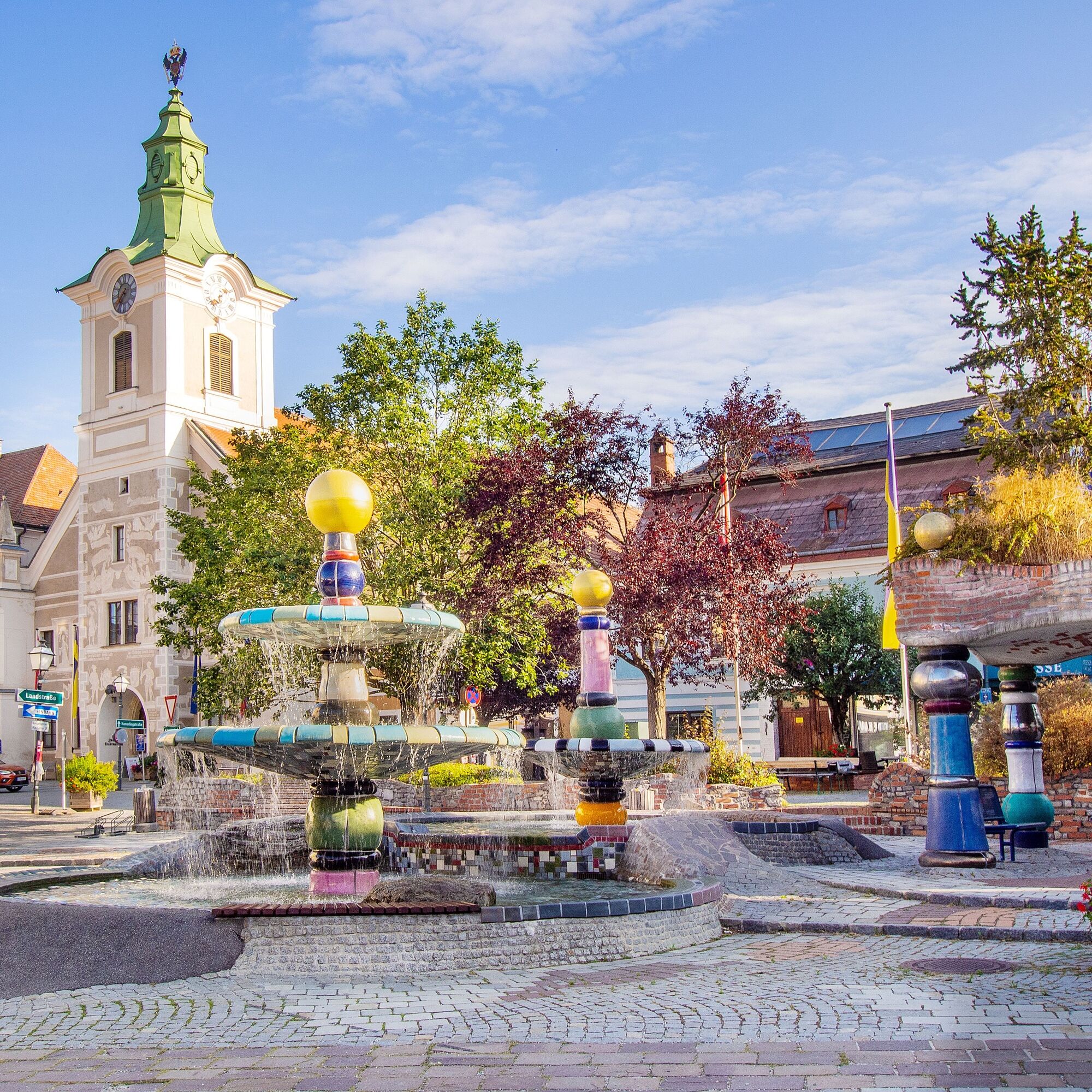
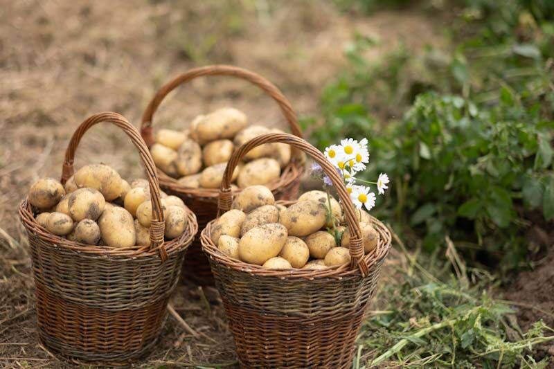
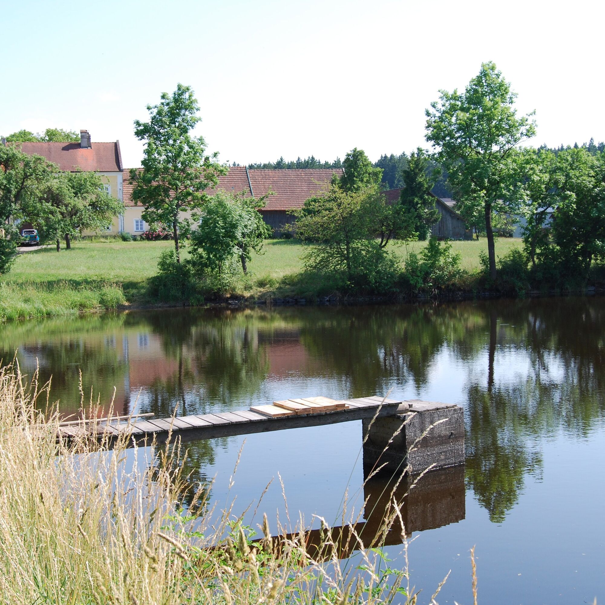

The Kuenringerland Bike Trail begins at the Kampparkplatz in Zwettl. You’ll start by cycling along quiet paths through the Gradnitz Valley to Großhaslau and on through Gerotten to Großglobnitz. Here, the route turns south and leads through the Zwettl monastery landscape—characterized by meadows and forests—past the Ritzmannshof to the tranquil village of Unterrabenthan. The final stretch takes you leisurely back through Gradnitz to the brewery town of Zwettl.
We recommend: a helmet, appropriate clothing and footwear, rain and sun protection, a first-aid kit, and plenty of food (snacks, granola bars, fruit, water).
When choosing a route, make sure it’s appropriate for your fitness level. Check to see if the restaurants you plan to visit along the way are open. Pack your cell phone and maps in your backpack.
Free parking at the starting point
Sparkassenplatz 4
3910 Zwettl
(T) +43 2822 503129
(I) www.zwettl.info
Highlights along the route: Points of Interest, Ritzmannshof Historic Pond Complex
Parcours populaires à proximité
-
4,4
Stauseerunde
moyenRandonnée 9,56 km -
4,2
Stausee Ottenstein
facileRandonnée 5,13 km -
4,4
TiWaLi Kamptal-Weißenbach-Runde
facileRandonnée 10,6 km -
4,9
Ottenstein Stausee - Uferwanderung
facileRandonnée 8,52 km -
4,5
Teiche-Radroute (Strecke 2020) Niederösterreich
moyenFaire du vélo 48,7 km -
4,0
Kampseerunde
Randonnée 13,7 km -
3,7
Knödel-Landradweg
moyenFaire du vélo 42,6 km -
4,9
Wasserwunderweg Zwettl
Randonnée 19,2 km -
4,5
Roiten - Satzling - Hoher Stein - Gasthaus König
moyenRandonnée 9,89 km -
4,7
Rastenfeld - Peygarten-Ottenstein - Gedächtniskapelle - Osang
moyenRandonnée 9,69 km
Randonnée et suivi


Ne manquez pas les offres et l'inspiration pour vos prochaines vacances
Votre adresse électronique a été ajouté à la liste de diffusion.





