


Pond Cycle Route
Photos de nos utilisateurs
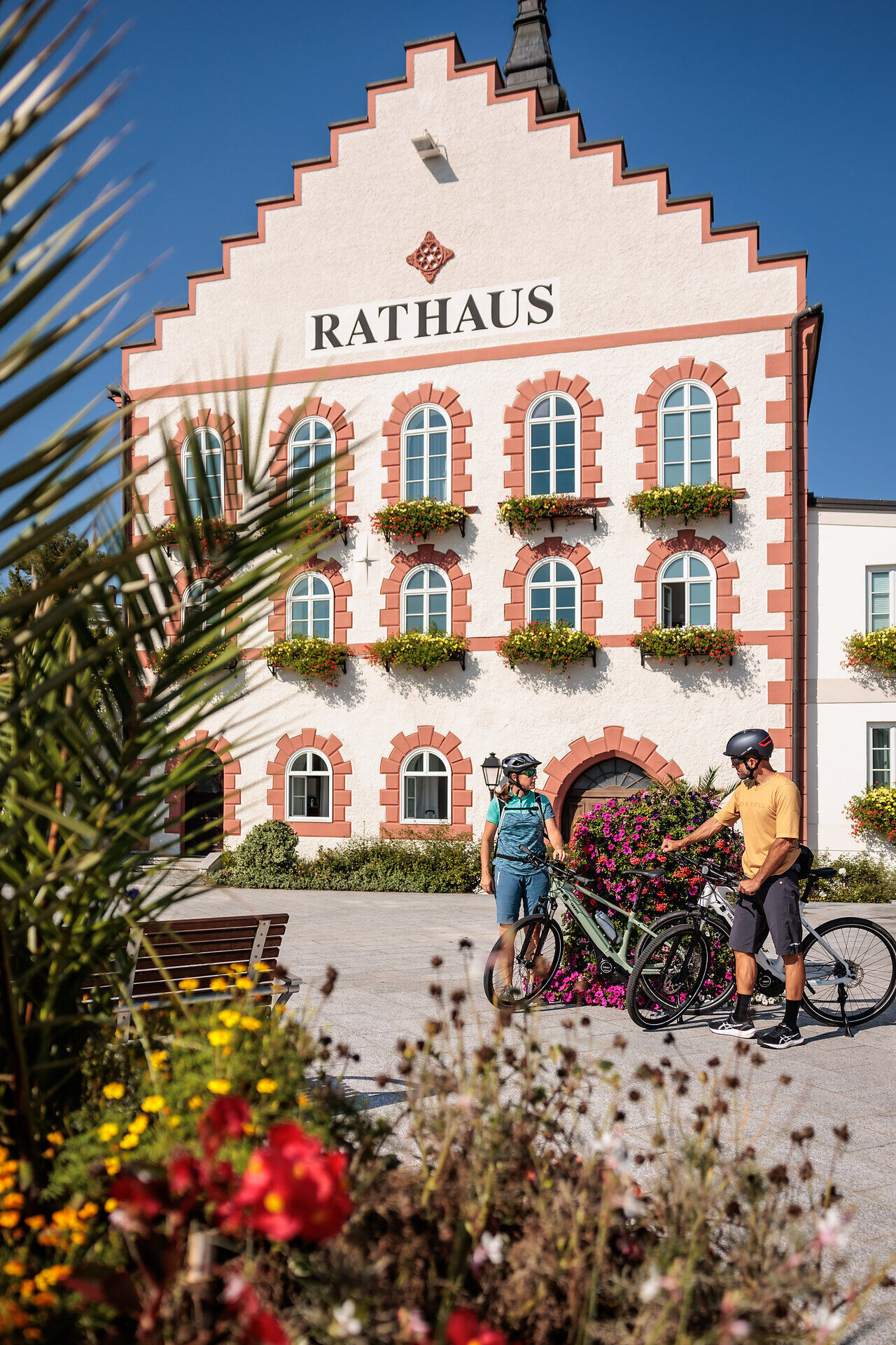
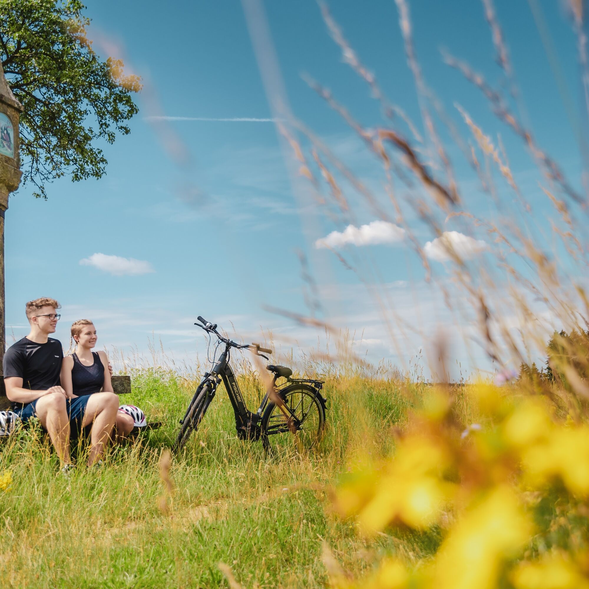
Frogs, crickets and the sounds of the forest accompany you on the Teiche cycle route. You start in Waidhofen/Thaya at the train station and follow the two top cycle routes Thayarunde-Süd and KTM-Radroute...
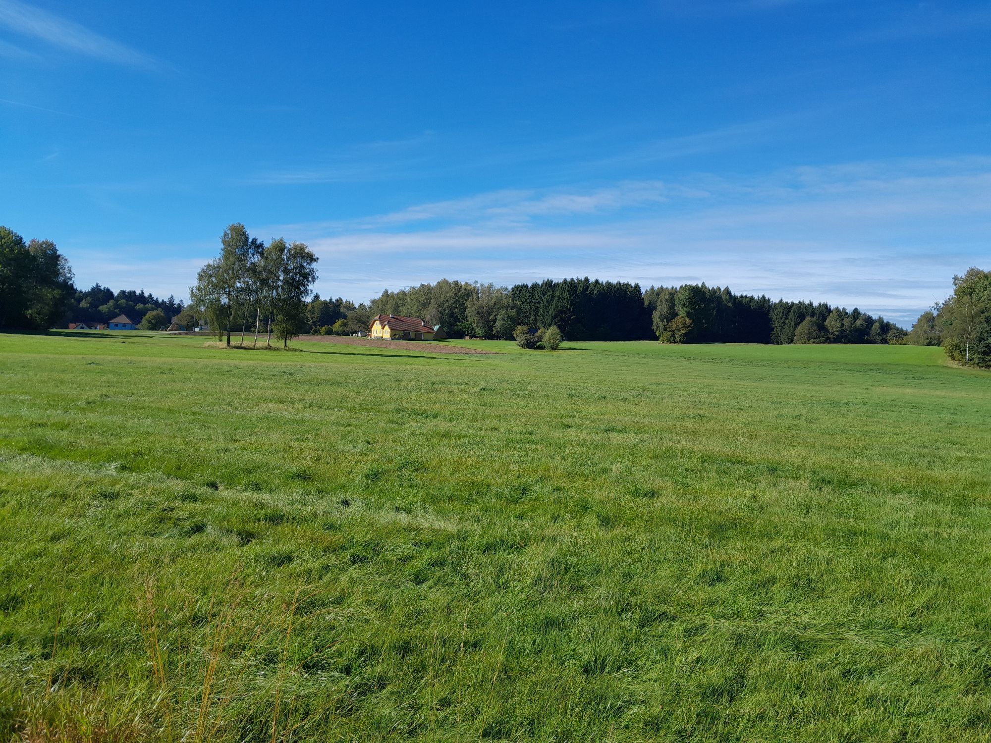
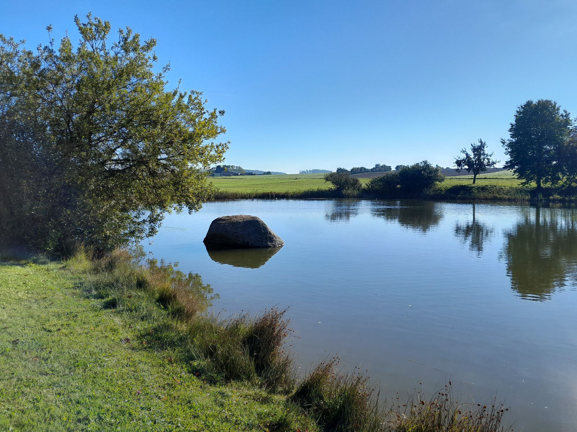
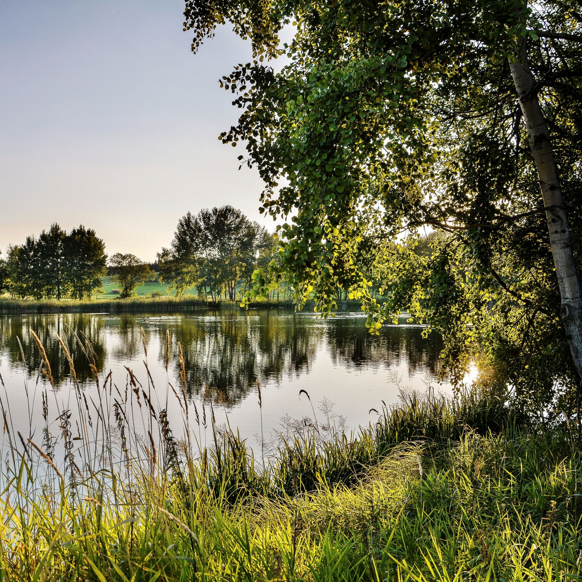
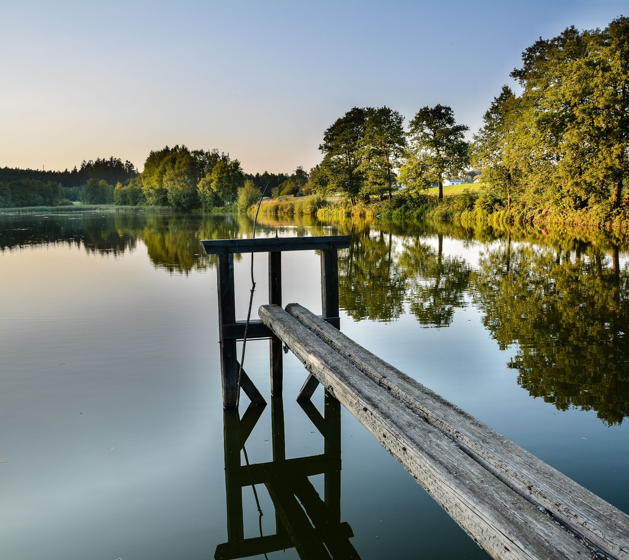
Frogs, crickets and the sounds of the forest accompany you on the Teiche cycle route. You start in Waidhofen/Thaya at the train station and follow the two top cycle routes Thayarunde-Süd and KTM-Radroute to Windigsteig and Schwarzenau Modlischmühle. From there via Sparbach to Vitis or Kaltenbach, with gourmet cuisine or home-style cooking on the main square. The first bathing pond before Jetzles will cool you down. After Edelprinz, wooded areas, meadows and small farmsteads give you an idea of the beauty of the cultural landscape. The Winkelauerteich then awaits you at Seyfrieds. A little later, Holzteich and Flohteich announce Pfaffenschlag - where the landscape is pure Waldviertel romance. Ponds as resting places for fulfilling moments. You return to Waidhofen/Thaya through the villages of Griesbach, Sarning and Brunn.
Ponds along the route with three bathing ponds - fruit tree trail in Vitis - Schwarzenau Castle - Teichwirt Kainz fish shop in Waidhofen - exhibition at the WEB company premises in Pfaffenschlag

Waidhofen / Thaya - Kottschallings - Windigsteig - Schwarzenau - Sparbach - Vitis - Jetzles - Brandhäuser - Seyfrieds - Pfaffenschlag - Griesbach - Brunn - Waidhofen / Thaya
Trekking bike, city bike, e-bike
70% asphalt, 30% gravel
TOP cycle route Thayarunde and KTM cycle route
A22 / B5 and B2
Franz Josefs Railway stops Vitis and Schwarzenau
along the circular route, at the starting point in Waidhofen/Thaya at the train station
Pond Cycle Route (https://www.thayarunde.eu/teiche-radroute-hoeren/)
TOP Cycle Route Thayarunde (http://www.thayarunde.eu)
Kamp-Thaya-March Cycle Route (https://www.niederoesterreich.at/a-kamp-thaya-march-radroute)
Teichwirt Kainz (http://www.waldviertelfisch.at/)
Nordwaldfarm Kleingöpfritz (https://www.nordwaldfarm.at/)
Folkclub Waidhofen an der Thaya (https://www.folkclub.at/)
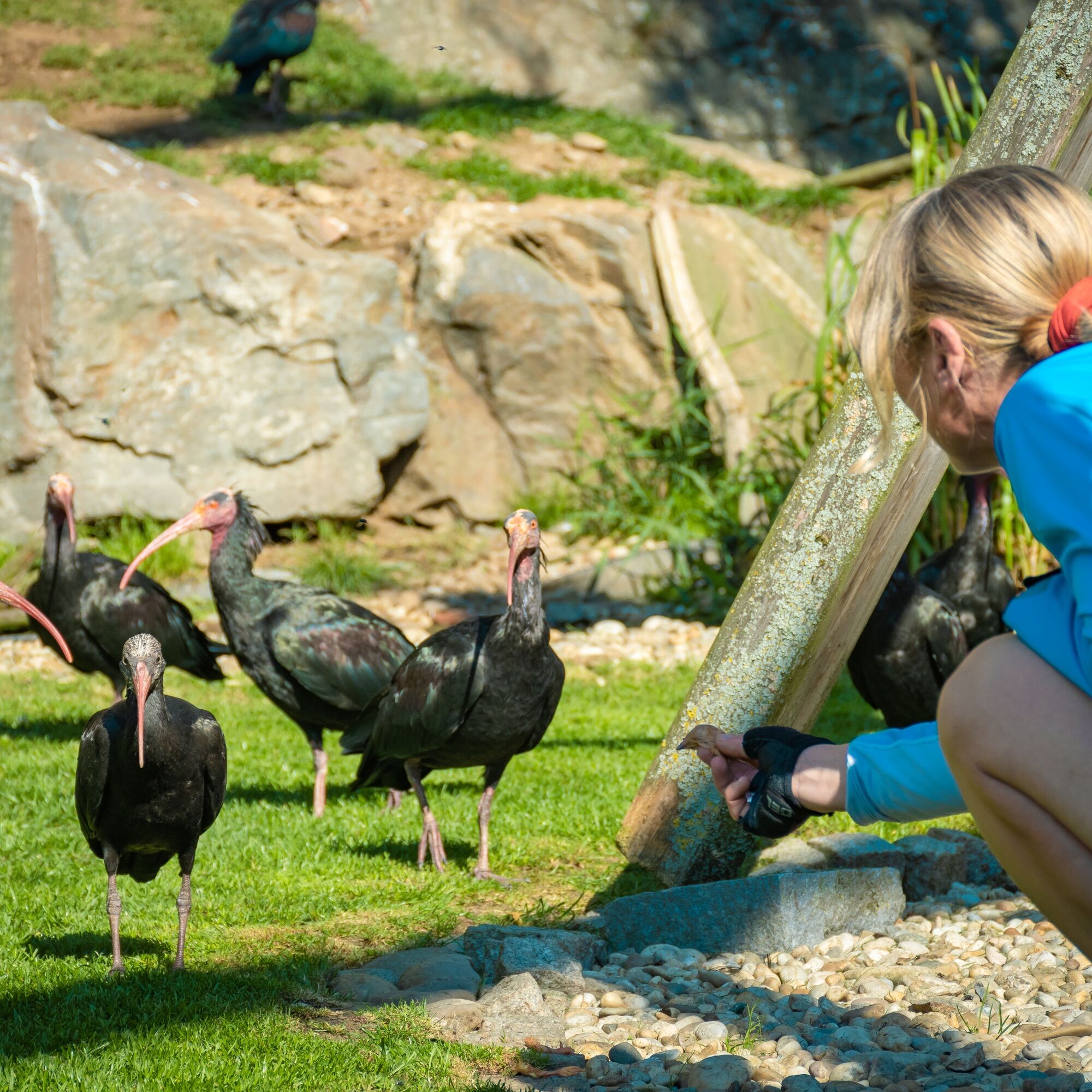
Northern bald ibis aviary Waidhofen an der Thaya (http://www.waldrapp.at/)
WEB Pfaffenschlag near Waidhofen an der Thaya (https://web.energy/at/page.asp/-/index.htm)
Nordwaldfarm with rubber boot fountain
Folkclub Waidhofen / Thaya on some evenings
Bird sounds of the northern bald ibis in the aviary in Waidhofen
Parcours populaires à proximité
-
4,4
Teiche-Radroute (Strecke 2020) Niederösterreich
moyenFaire du vélo 48,7 km -
3,2
Knödel-Landradweg
moyenFaire du vélo 42,6 km -
5,0
Thayarunde Slavonice-Waidhofen-Göpfritz
moyenFaire du vélo 47,5 km -
4,2
Thayarunde Waldviertel - 3. Etappe
facilePiste cyclable longue distance 28,2 km -
Thayarunde
facileFaire du vélo 94,2 km -
Naturlehrpfad Heidenreichsteiner Moor
facileRandonnée 4,56 km -
5,0
Waldweg des Naturparks Heidenreichsteiner Moor
facileCourir 3,79 km -
Thayarunde 5.Etappe
moyenFaire du vélo 47,2 km -
4,7
Gemeinde Heidenreichstein - Winkelauer Berg - Seyfrieds
facileRandonnée 7,24 km -
5,0
Rundfahrt GD-Schrems
moyenVTT 25,8 km

Randonnée et suivi


Ne manquez pas les offres et l'inspiration pour vos prochaines vacances
Votre adresse électronique a été ajouté à la liste de diffusion.