


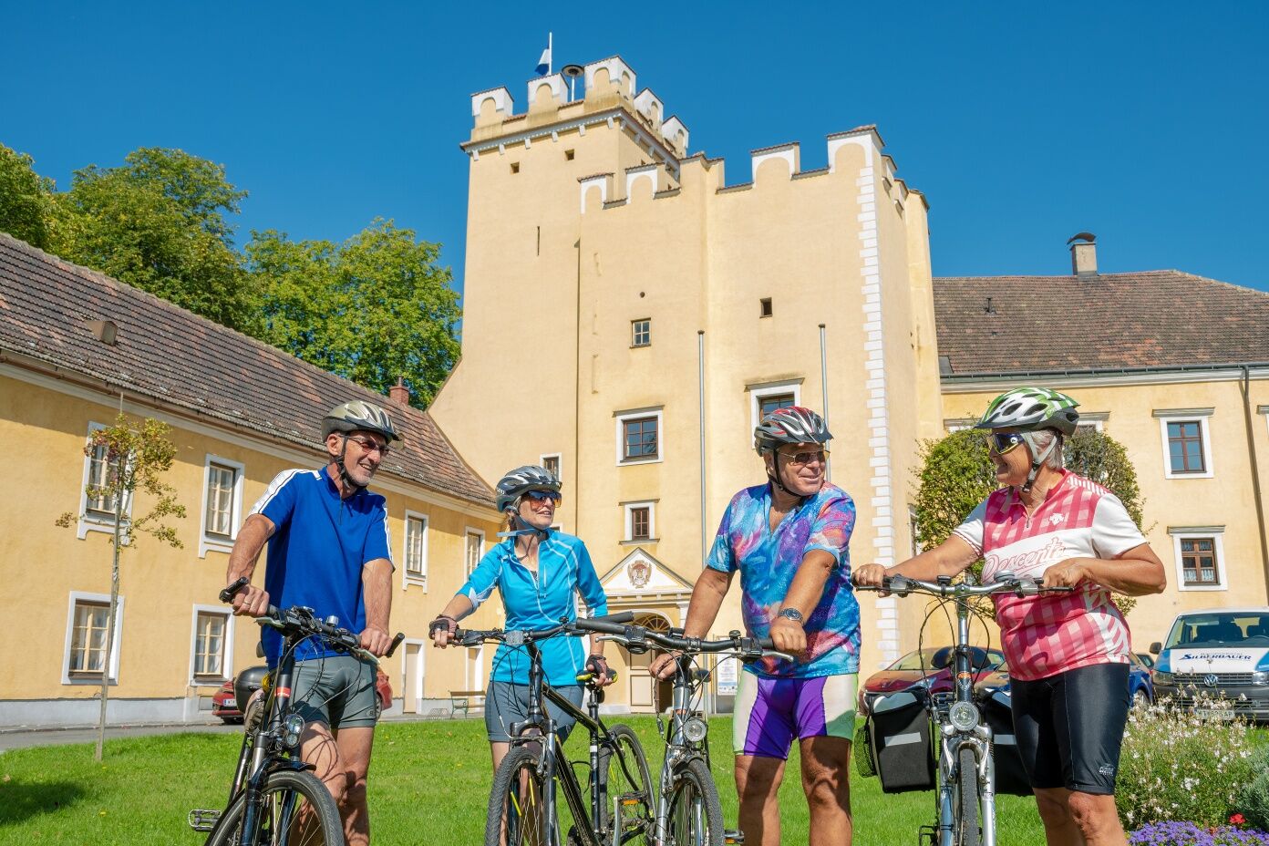
Seebsbach cycling loop
The slightly hilly cycle tour takes you through the Bandlkramerlandl. Departure is at the castle square in Groß-Siegharts. From there you cycle to Fistritz and on to Drösiedl Castle. You then reach Ludweis...
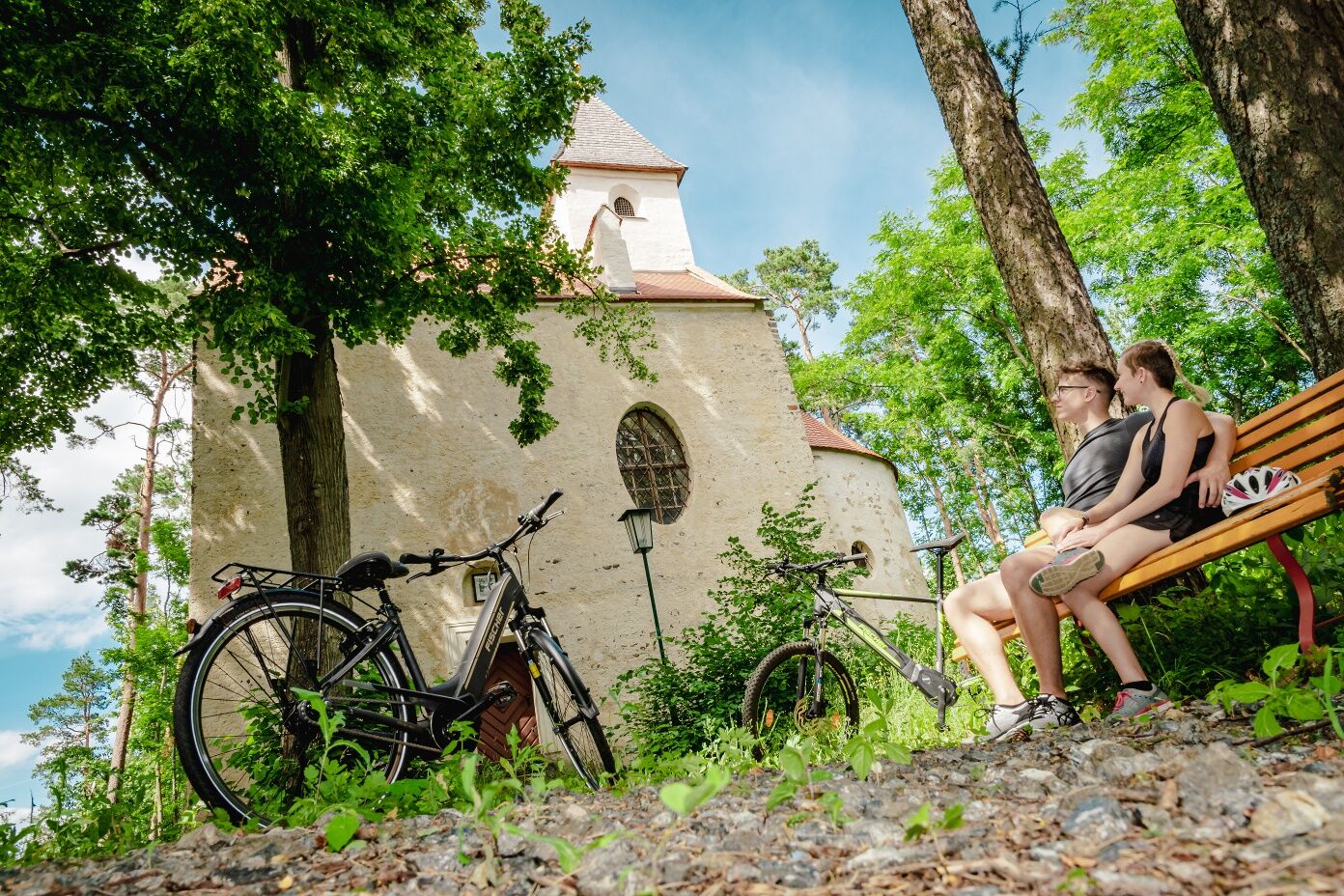
The slightly hilly cycle tour takes you through the Bandlkramerlandl. Departure is at the castle square in Groß-Siegharts. From there you cycle to Fistritz and on to Drösiedl Castle. You then reach Ludweis with the Kaiser Franz Josef Jubilee Park, from where you continue to the eponymous village of Seebs with the old stream bridge. In slightly hilly terrain, you cross the Franz Josef Railway twice and reach Blumau. After the pretty village, you cycle via Ellends to Schönfeld with the Brenner direct marketing farm, before returning to Groß-Siegharts on the Thayarunde cycle path.
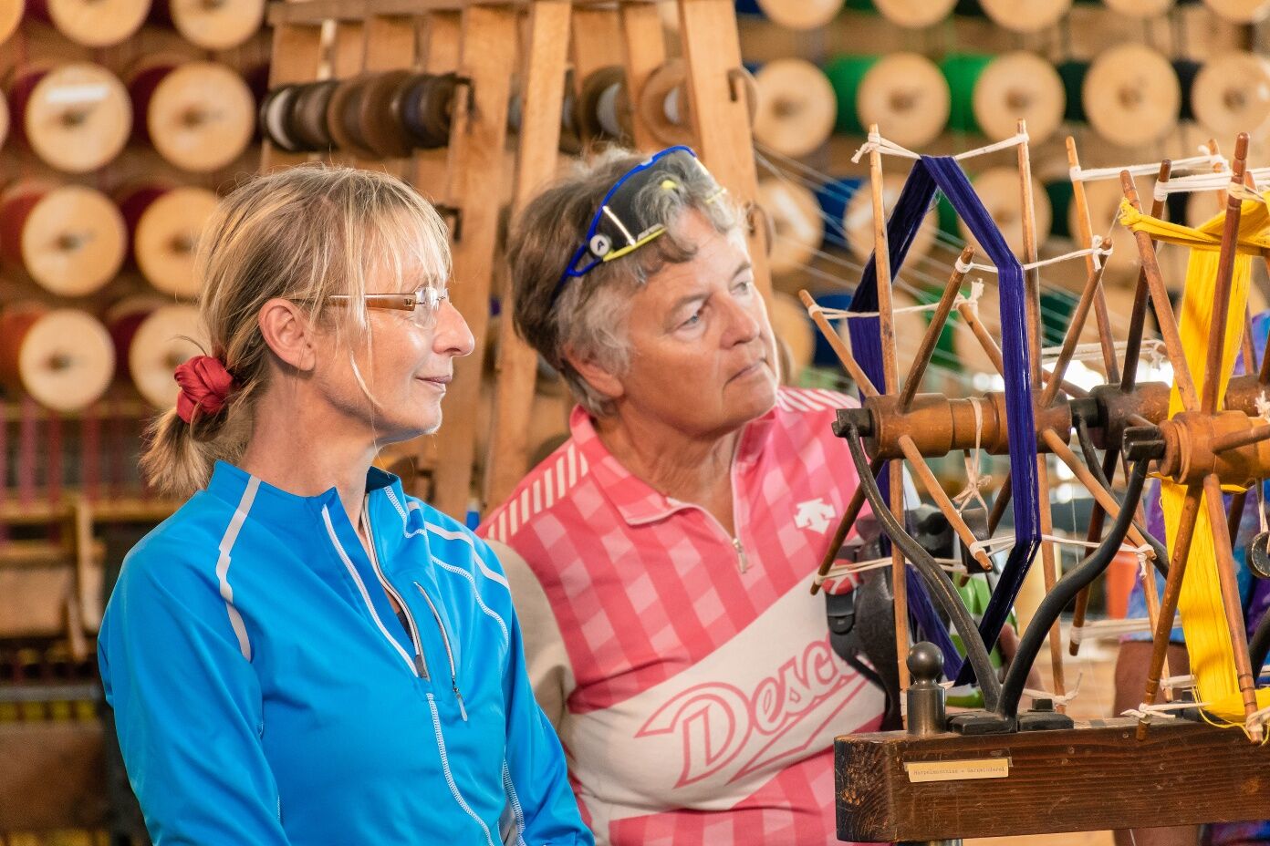
Drösiedl Castle - direct marketers along the way - St. Sebastian's Chapel in Ludweis/Aigen - Kaiser Franz-Josef Jubilee Park - Groß Siegharts Castle - Groß Siegharts Ribbon Weaving Museum - Groß Siegharts Art Factory - mountain pond for swimming near Schönfeld - Groß-Siegharts forest pool

Groß-Siegharts - Fistritz - Diemschlag - Drösiedl - Ludweis - Oedt / Wild - Blumau / Wild - Schönfeld / Wild - Groß-Siegharts
The route is suitable for trekking bike, city bike, e-bike.
We recommend: helmet, appropriate clothing and footwear, rain and sun protection, first aid kit (blister plaster), sufficient provisions (snack, muesli bar, fruit, water).
Make sure when choosing the route that it matches your fitness level. Check whether the gastronomy businesses you want to visit along the way are open. Pack your mobile phone and maps in your backpack.
Connected to the top cycling route Thayarunde
By car:
Via A1 / S33 / B37 / B32 / L55
Via A22 / B4 / B2 / L55
Franz-Josefs-Bahn to Göpfritz/Wild station
Along the loop, in Groß Siegharts at the warehouse by the station
Waldviertel Tourism
3910 Zwettl, Sparkassenplatz 1/2/2
(T) 02822/54109
(E) info@waldviertel.at
(I) www.waldviertel.at
By bike to the large Aronia operation Rabl.
Parcours populaires à proximité
- 3,2
Knödel-Landradweg
moyenFaire du vélo 42,6 km - 5,0
Thayarunde Slavonice-Waidhofen-Göpfritz
moyenFaire du vélo 47,5 km - 5,0
Ritterweg Ruine Kollmitz Raabs an der Thaya, Niederösterreich
Randonnée 12,0 km - 5,0
Wasser und Felsen
facileRandonnée 8,31 km Thayarunde
facileFaire du vélo 94,2 km- 5,0
Fuchsberggraben Runde
moyenRandonnée 9,84 km - 3,0
Thayarunde Waldviertel - 1. Etappe
facilePiste cyclable longue distance 20,9 km Thayarunde 5.Etappe
moyenFaire du vélo 47,2 km- 5,0
Irnfritz - Steinplattenwald
facileRandonnée 10,5 km - 5,0
Kollmitzgraben
moyenRandonnée 13,4 km
Randonnée et suivi


Ne manquez pas les offres et l'inspiration pour vos prochaines vacances
Votre adresse électronique a été ajouté à la liste de diffusion.