



E-Bike-Strecke: Hollenthon - Mandl´s Ziegenhof



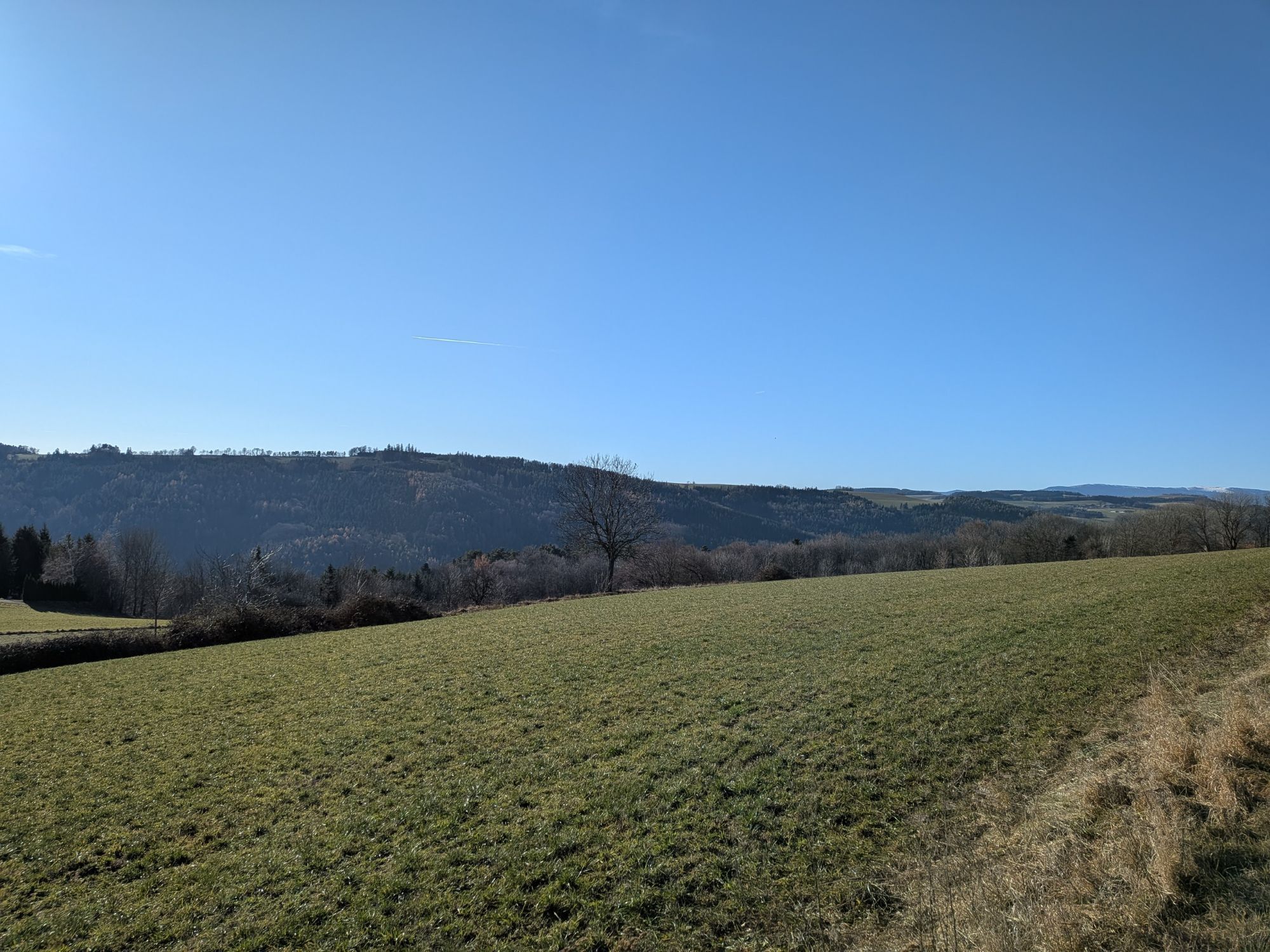

From Hollenthon, follow Route 5 ("Wind Turbine Route") to Lichtenegg, pass the wind turbine, and then turn right into the forest, following the signs toward Mandl's Goat Cheese. Return to Route 5 and continue to Hollenthon.
We recommend wearing a bike helmet on rides. Wear appropriate clothing and sturdy shoes. Remember to bring protection from the rain and sun. Be sure to bring plenty to drink.
When choosing a route, make sure it matches your experience and fitness level. Check the weather forecast in advance.
If you're coming from Vienna, take the A2 to the Wiener Neustadt interchange and merge onto the S4. Take the Wiener Neustadt-Süd exit. Follow the B54 and turn onto the L142 (Bromberger Straße). Continue along this road until you reach the L144 near Schlatten. Then take the L4101 to Hollenthon.
Coming from Graz, take the A2 to the Aspang exit and follow the L4197. Then follow the L145. At Lichtenegg, take the L4101 to Hollenthon.
Bus Line 380 from/to Wiener Neustadt Central Station
For more information, visit fahrplan.oebb.at and use the route planner
Parking near the sports field
You can find all the routes in the e-bike network in the brochure "E-Bike Tours in Bucklige Welt & Wechselland. "

Parcours populaires à proximité
-
4,3
"Weg der Blicke"
facileRandonnée 5,86 km -
4,7
Seebenstein - Türkensturz - Burg Seebenstein
facileRandonnée 7,50 km -
4,6
Bucklige Welt: Auf dem Pittentaler Klettersteig zum Türkensturz
moyenVia ferrata 1,96 km -
4,5
Bad Schönau - Hutwisch
facileRandonnée 9,99 km -
4,2
Türkensturz Rundwanderung
moyenRandonnée 2,56 km -
4,3
Türkensturz große runde
moyenRandonnée 11,4 km -
4,0
Bucklige Welt: Burg Grimmenstein und Kulmriegel
facileRandonnée 10,5 km -
4,4
BAD-SCHÖNAU Hutwisch und wieder zurück 20220611
moyenRandonnée 10,8 km -
4,1
Molzbachhof Feistritz Rundweg
facileRandonnée 7,32 km -
4,6
Türkensturz
facileRandonnée 6,31 km
Randonnée et suivi


Ne manquez pas les offres et l'inspiration pour vos prochaines vacances
Votre adresse électronique a été ajouté à la liste de diffusion.


