







Rundtour 10 - RadKunstmeile

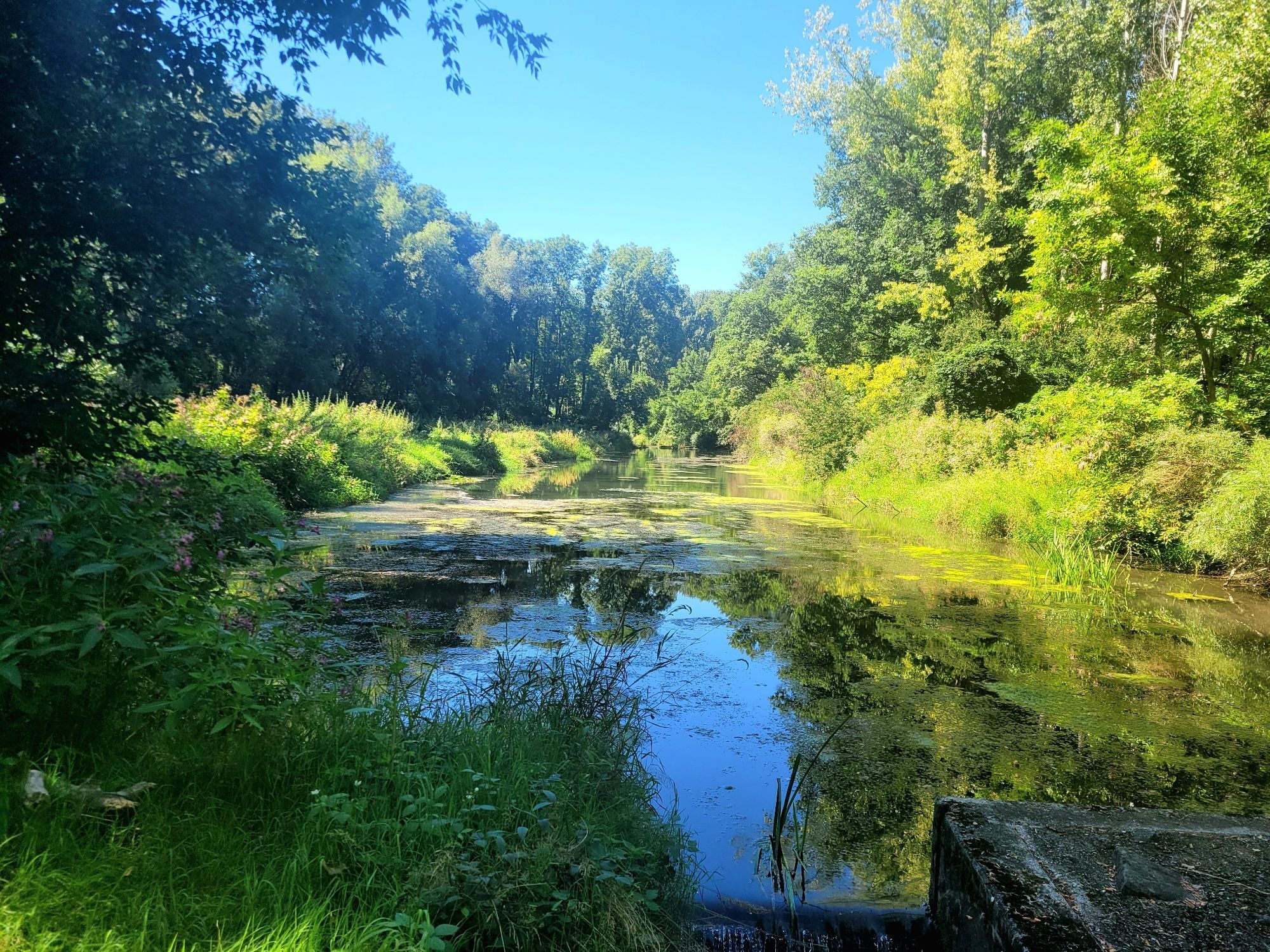
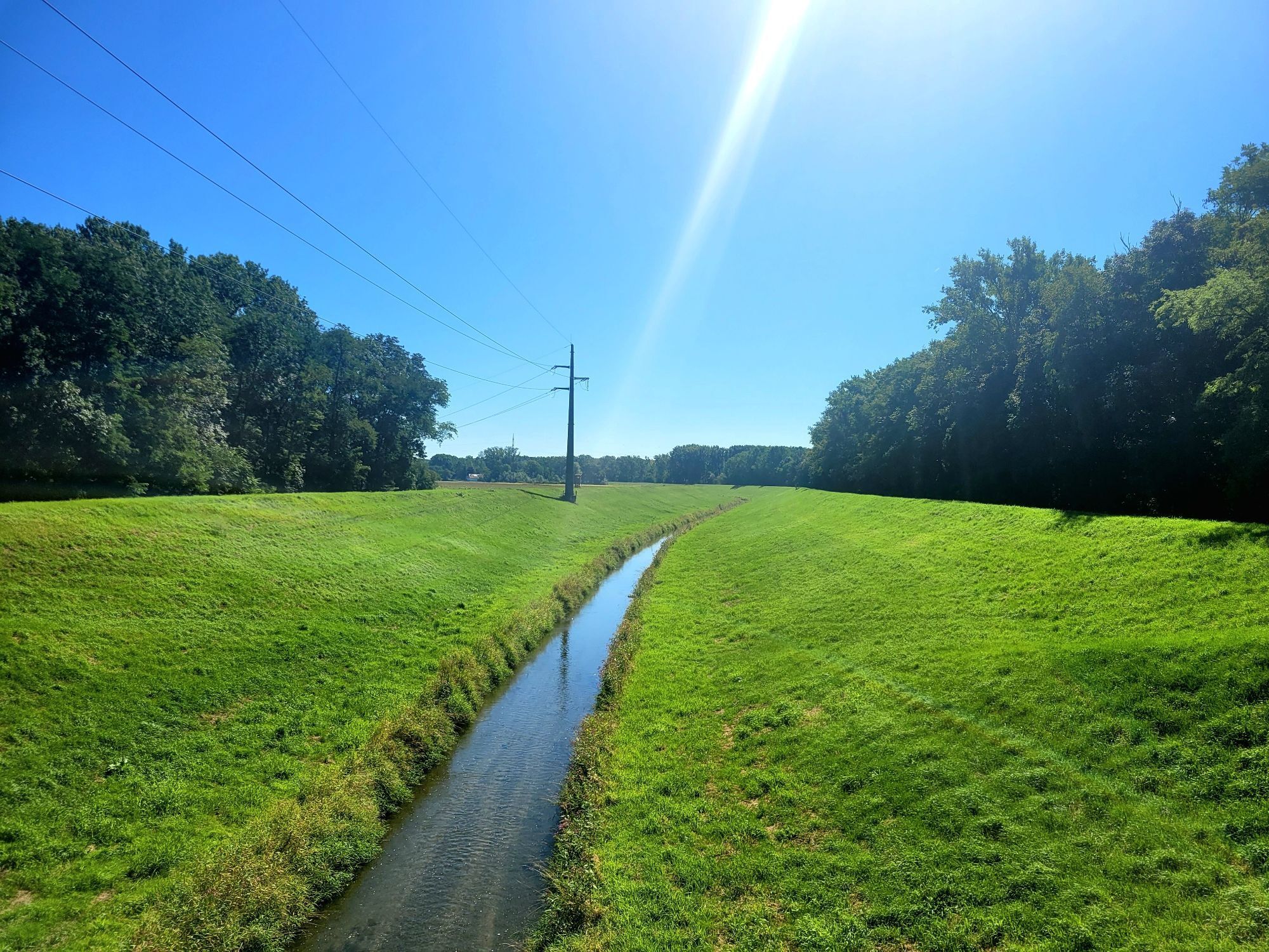
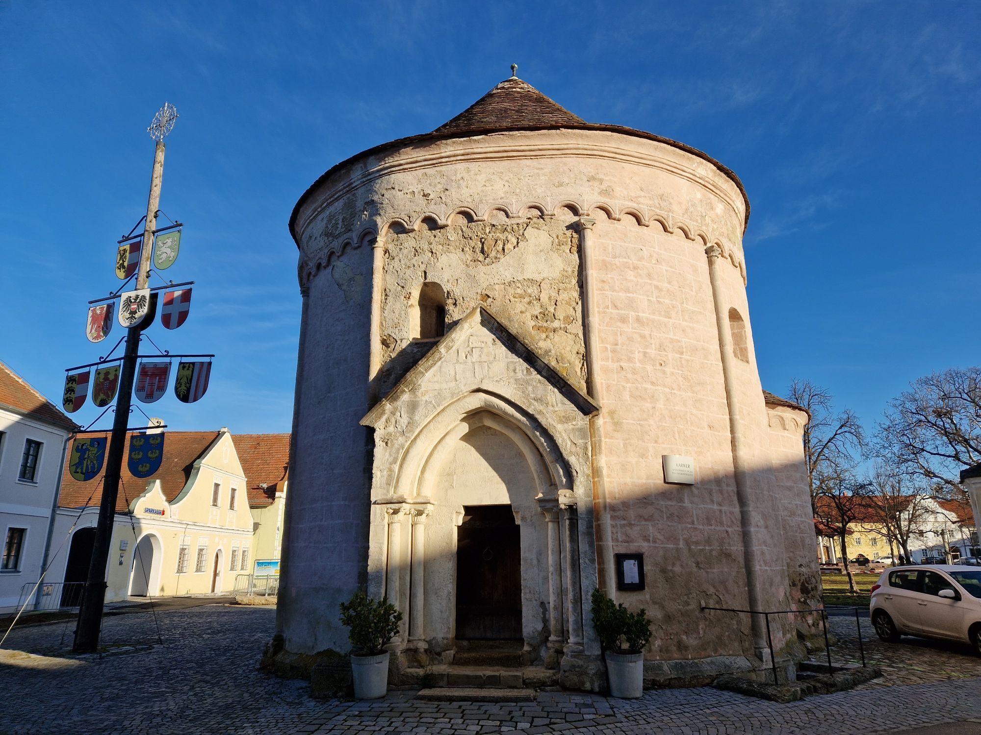
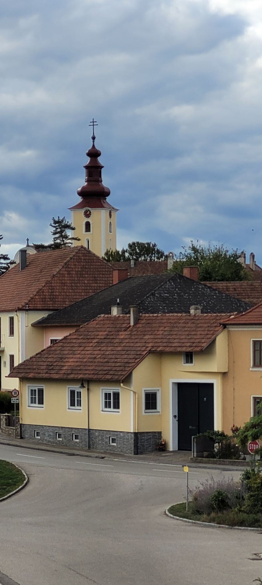

Further than an art mile by bike
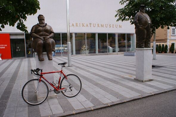
A tour to special art locations: starting at the Kunstmeile Krems and via the open-air concert venue Grafenegg and via Hadersdorf with Daniel Spoerri's exhibition house...
Further than an art mile by bike
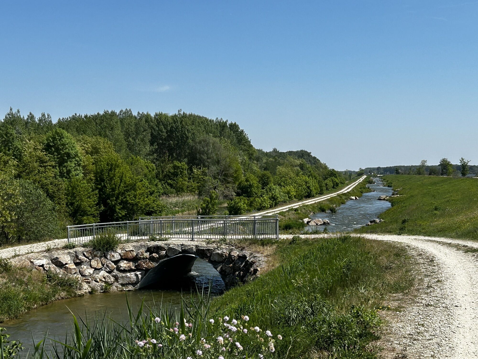
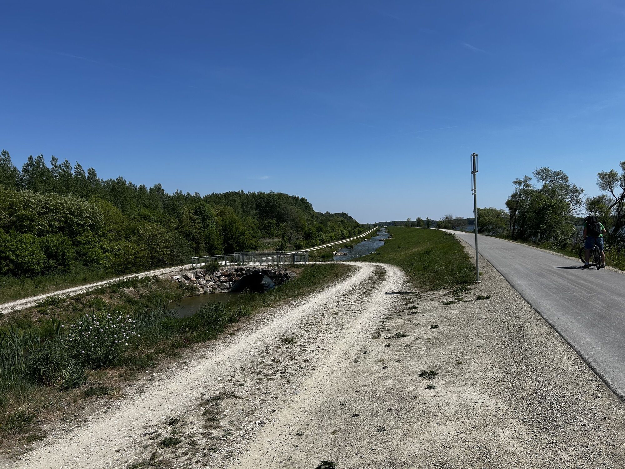
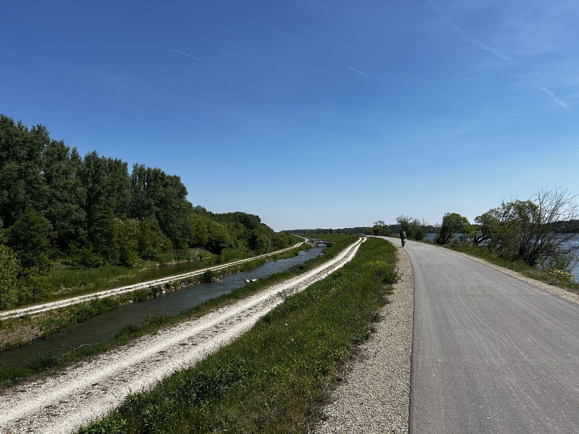
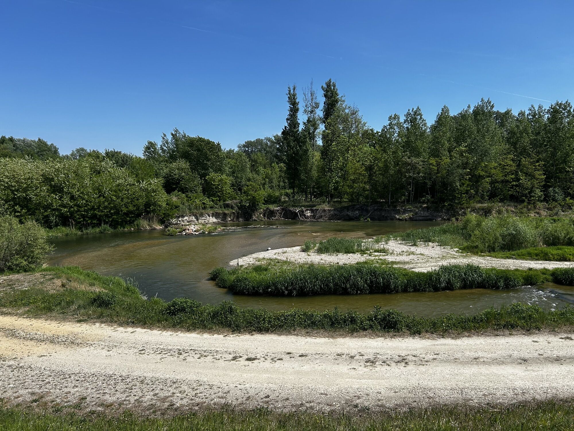
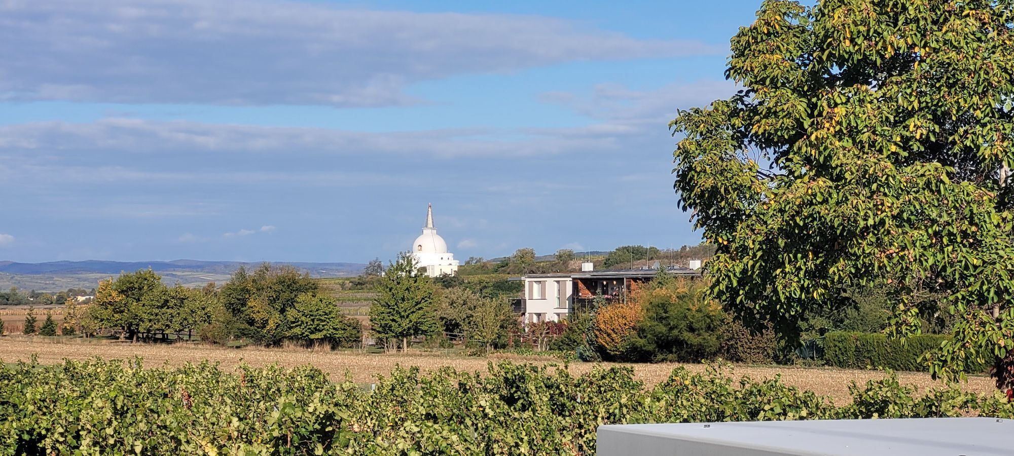
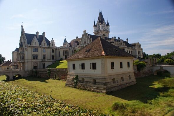
A tour to special art locations: starting at the Kunstmeile Krems and via the open-air concert venue Grafenegg and via Hadersdorf with Daniel Spoerri's exhibition house back to the Danube Cycle Path. All the art locations are characterized by excellent surroundings that invite you to enjoy art and relax, especially Grafenegg with its castle park. The inclusion of Ruppersthal with its museum in honor of Ignaz Joseph Pleyel is also worthwhile via a loop.
Route information
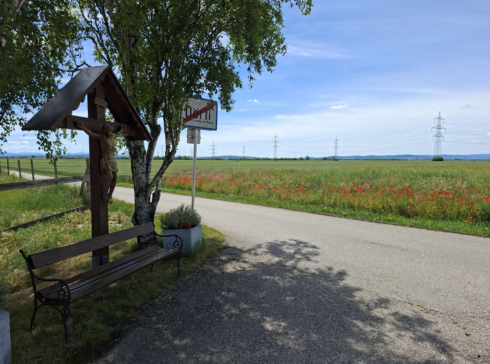
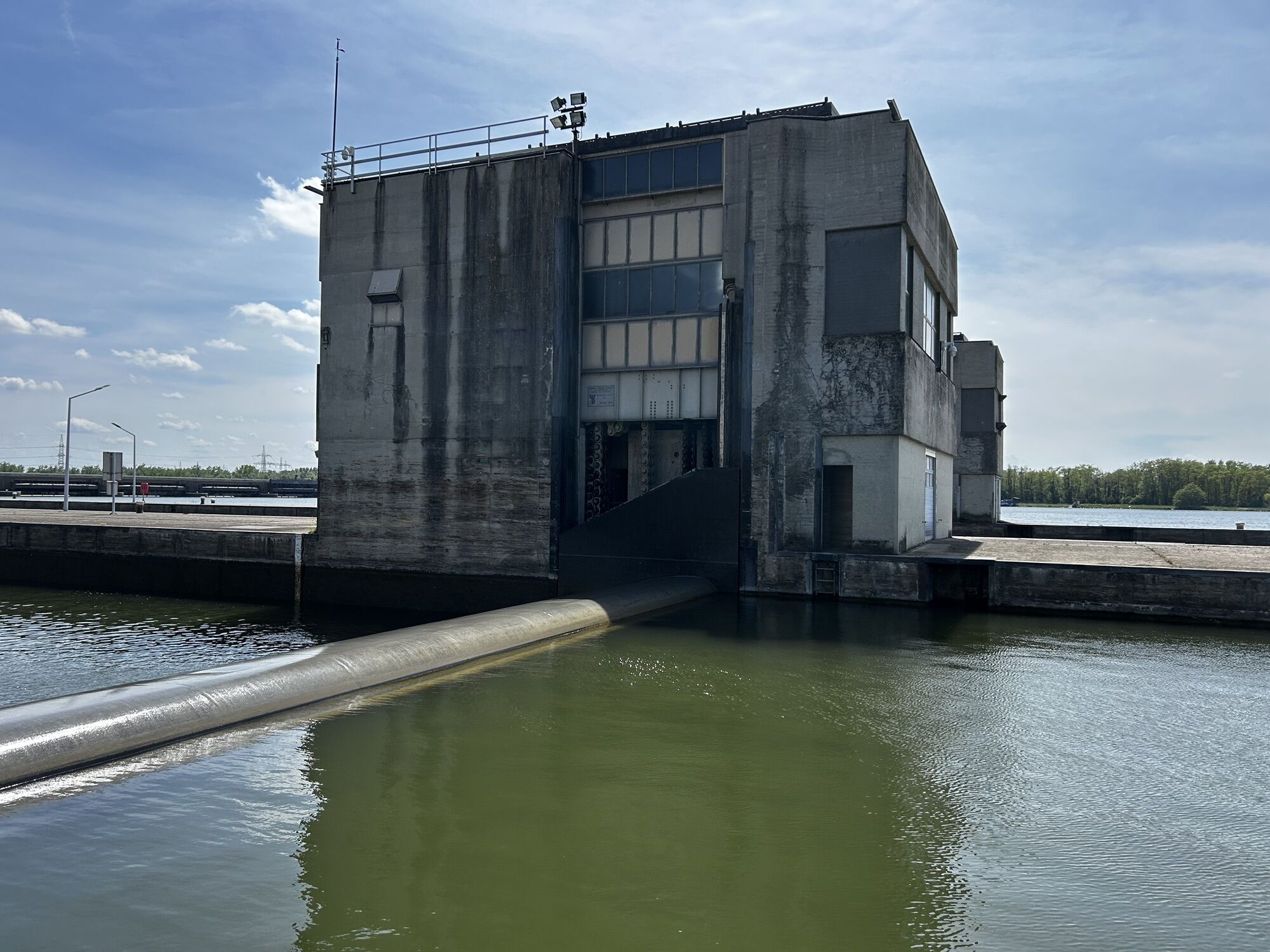
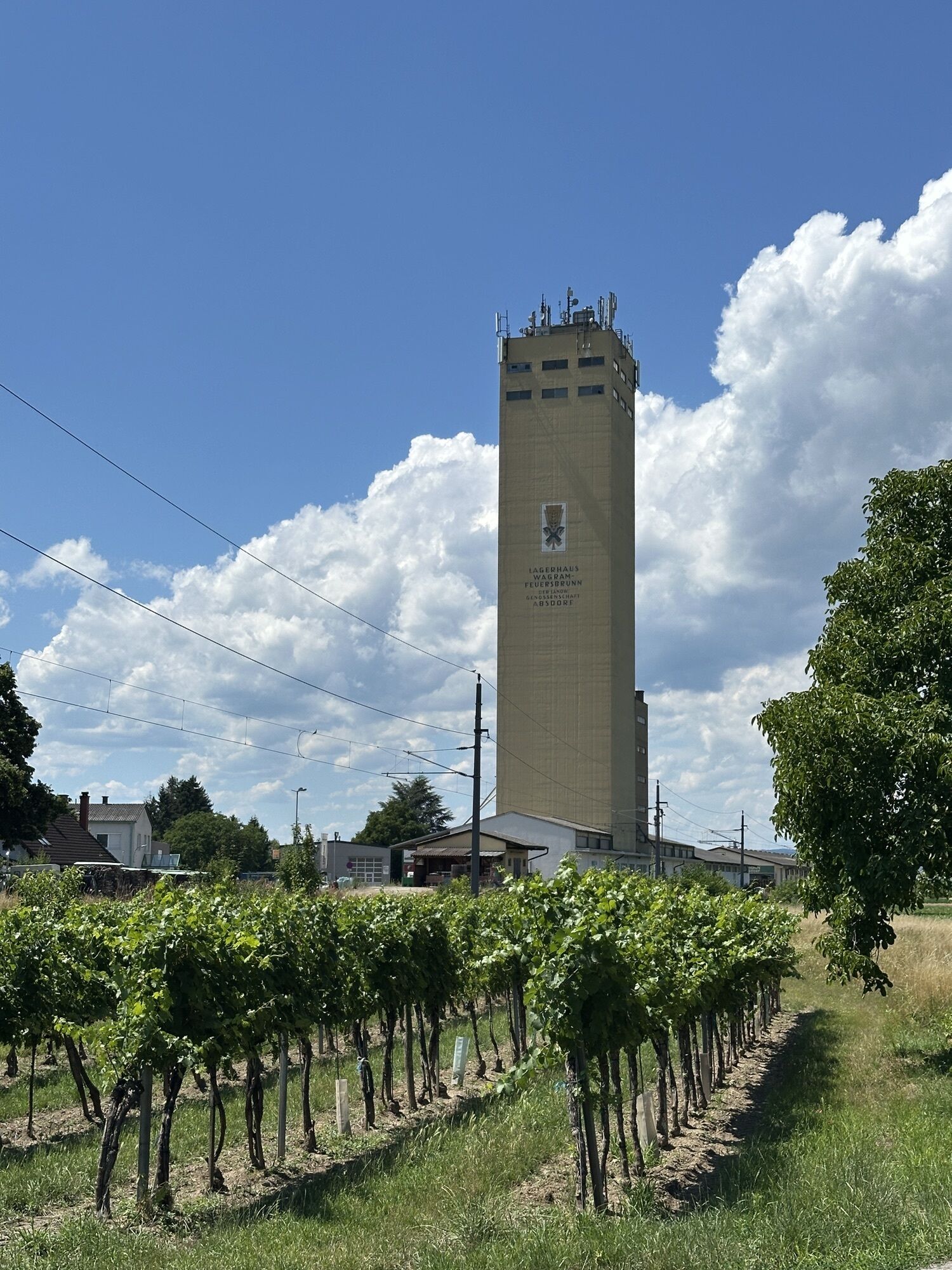
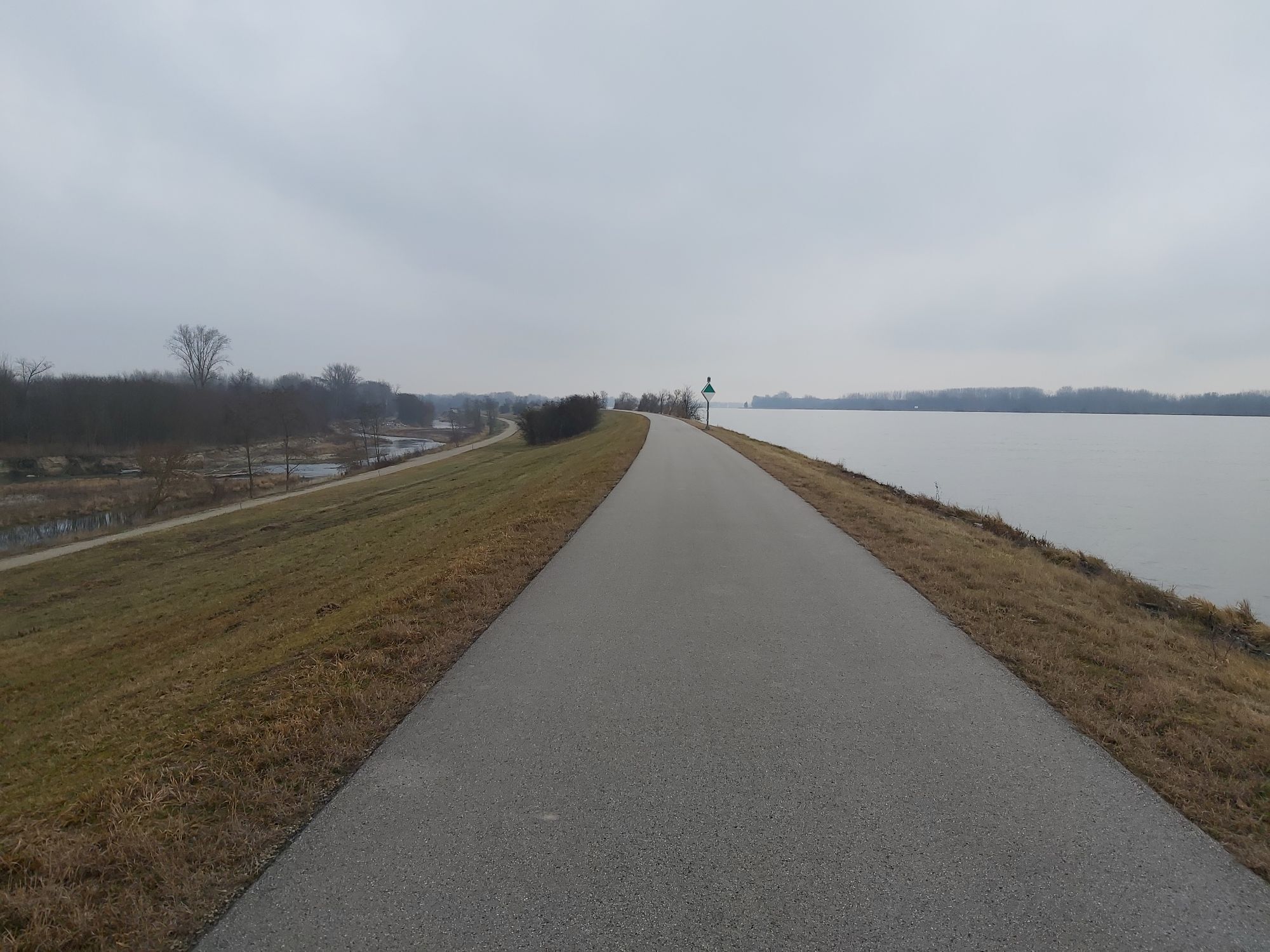
- Route length : 57.0 km - Height differences : hardly any; - Surface : asphalt throughout - Signposting : Krems - Danube cycle path; Krems - Grafenegg: Weinviertel cycle path; Grafenegg - Altenwörth: Wagram cycle path; Altenwörth - Krems: Danube cycle path; - Route : Kunstmeile (km 0.0) - Ringstraße, past the station forecourt - Wachauerstraße, junction with Wienerstraße (km 2.0) - after the Bundesstraße 37 bridge turn into Landersdorfer StraßNow on the Weinviertelweg via Stratzdorf and Haitzendorf to Grafenegg Castle (km 8.0; Grafenegg Music Festival, open-air stage, concert hall, castle park, exhibitions) - ride to Hadersdorf (km 13.0; Eat.Art exhibition house and restaurant by Daniel Spoerri) - now on the Wagram cycle path, either back to Grafenegg or via Engabrunn and Feuersbrunn directly to Fels am Wagram (second option, however, mostly on a busy road, km 20.0)e, km 20.0) - on the Wagram cycle path to Kirchberg am Wagram (km 27.0) - from there via Neustift am Felde to Altenwörth (km 35.0) back to the Danube cycle path (km 36.0) - back to Krems (km 57.0). Integration of Ruppersthal: from Kirchberg am Wagram 5 kilometers uphill and back again

Bicycle Facilities and Services
Bicycle Parking Facilities / Luggage Storage: Kunstmeile Krems, Grafenegg, Hadersdorf; Train Stations: Krems (rail hub—Wachau, St. Pölten, Hadersdorf), Hadersdorf (rail hub—Kamp Valley, Vienna–Tulln–Krems), Kirchberg am Wagram (Vienna–Tulln–Krems); Ruppersthal: nearest train station Großweikersdorf, 4 km, with a 1.5 km climb; Nearest bridges: Krems, Altenwörth Danube Power Plant; Bike rental: · Krems: Shell Station Vogl, Steiner Donaulände 17, Tel. +43(0)2732/84424, Mon–Sun 6 a.m.–10 p.m.; · Aichinger, Hohensteinerstraße 22, Tel. +43(0)2732/82876, Mon–Fri 7:30 a.m.–12 p.m., 2–6 p.m., Sat 8 a.m.–12 p.m.; Völkl, Steiner Landstraße 103, Tel. +43(0)2732/71071, Mon–Fri 9 a.m.–12 p.m., 1 p.m.–6 p.m., Sat 9 a.m.–12 p.m.; Bike Repair : Krems: · Radstudio Krems, Hafnerplatz 5, Tel. *3(0)2732/1880, Apr.–Oct. Mon–Fri 9 a.m.–12 p.m., 2:30–6 p.m., Sat 9 a.m.–12 p.m.;
Visitor Information
Bike Information Center: Krems, Tel. +43(0)2732/82676;
Things to Know
Exhibition Hall
Tel +43/2735/201 44
Mobile +43/664/88 45 47 87
office@spoerri.at
Restaurant
Vanessa Gürtler
Mobile +43/664/88 45 47 88
esslokal@spoerri.at

Parcours populaires à proximité
-
4,7
Weinweg Langenlois - wohin ? in und um Wien
facileRandonnée 5,68 km -
4,8
Übers "Loamstückl" zur Wetterkreuzkirche
facileRandonnée 6,83 km -
4,5
Gaisberg-Rundwanderweg Straß im Straßertale
facileRandonnée 8,18 km -
4,8
Kellergassen-Tour
difficileFaire du vélo 38,3 km -
4,4
Über Sitzenberg-Reidling: Seelacke-Korkenzieher-Weinberge
moyenRandonnée 11,1 km -
4,0
Weinwanderweg Wetzdorf
facileChemin thématique 6,51 km -
3,8
W3 Löss-Tour
moyenFaire du vélo 38,6 km -
4,6
Kamptalwarte von Langenlois aus
moyenRandonnée 9,15 km -
4,0
Rivaner-Radtour
Faire du vélo 54 km -
4,3
Manhardsberg & Naturlehrpfad
facileRandonnée 8,17 km
Randonnée et suivi


Ne manquez pas les offres et l'inspiration pour vos prochaines vacances
Votre adresse électronique a été ajouté à la liste de diffusion.





