







Haßbachtalroute – E-Bike

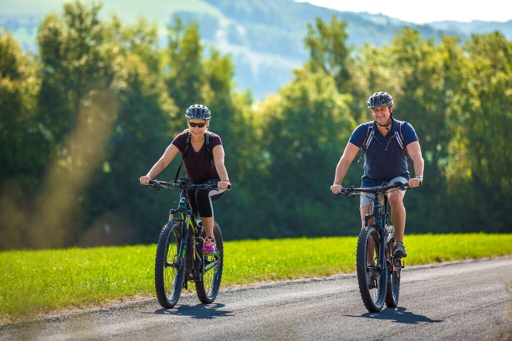

<p>The route starts at the market square in Warth at the municipal office. Ride along the federal road to the Aichhofstraße junction, past the Café-Bäckerei Fischböck, continue in the direction of Kirchau, under the A2 bridge take the turn-off to the left in the direction of Palm and Maierhöfen. Follow this road until you reach Rotte Maierhöfen; at the next crossroads, please keep left in the direction of Eben.
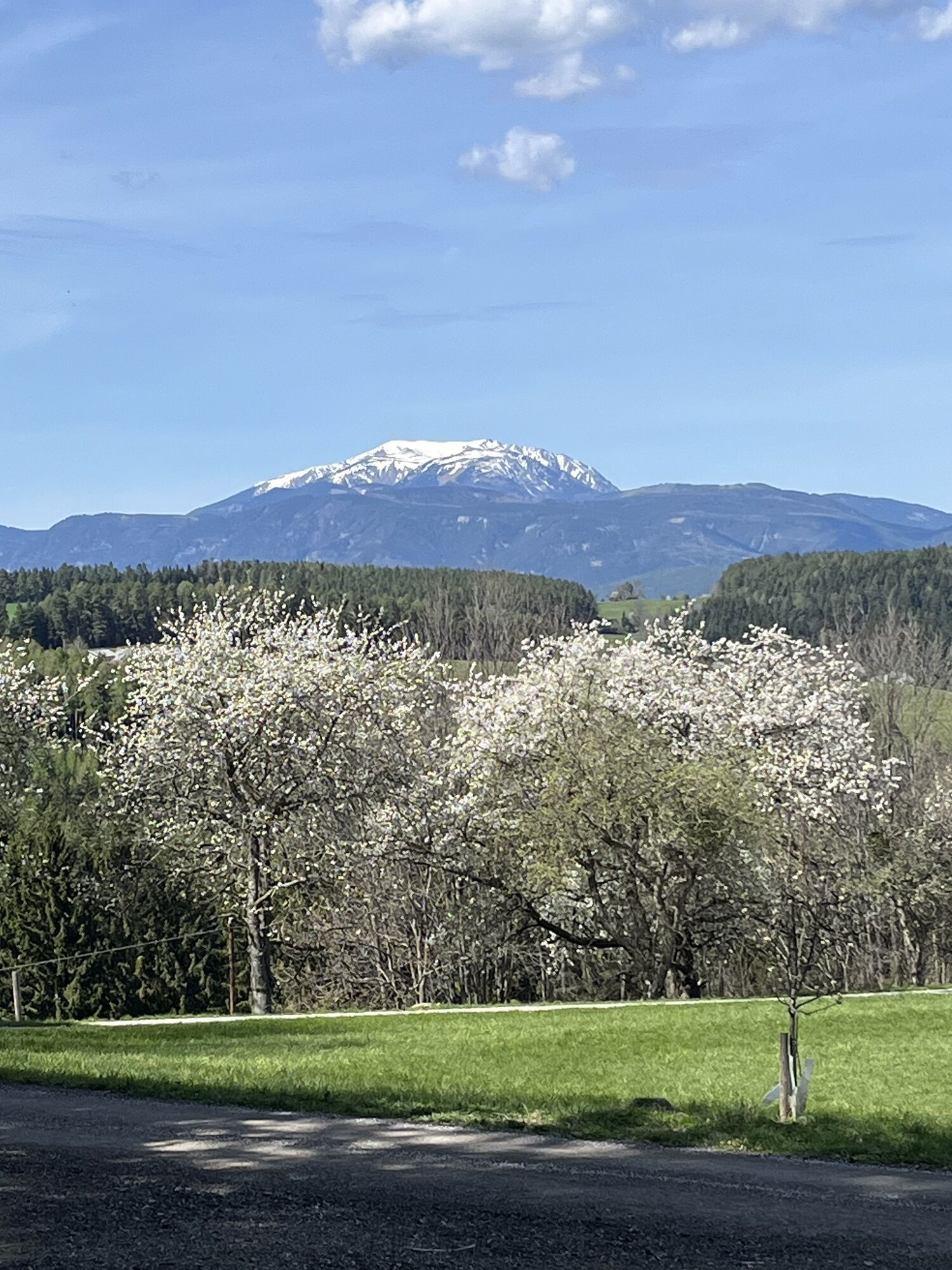
</p><p>At Rotte Zierhof, there is the possibility to visit the Mostschank Familie Thomas Ungersbäck (please check beforehand regarding opening days). In Eben, follow the path towards Heißenhof, then turn left at the end of the gravel road towards Ödenkirchenstraße and Urbankapelle.</p><p>You can also make a detour here to Molfritz, where a visit to the Mostwirtshaus of the Hannes Ungersbäck family is possible (please check beforehand regarding opening days). It is especially worthwhile in spring, as beautiful avenues of cherries await you.</p><p>At the “Urbankapelle” chapel, turn right along Ödenkirchenstraße until you reach Landgasthof Fally. Then continue in the direction of Rams and, at the first opportunity, turn right in the direction of Lichtenau. At Sandwerk im Tal, keep to the right and cycle along the Haßbach stream until you reach the first crossroads, where you will then see the village of Haßbach on your left after only about 500 m. By the way, you will also find one of our brewers, Martin Gruber, here.</p><p>Along the L 143 state road, you are now heading to Kirchau.</p><p>Alternatively, you can now take the L143 in the direction of Penk and then head towards Kulm and Thann at the first junction to Warth.</p><p>Once in Warth, you can now charge your e-bike at the charging stations on the market square, at Cafe-Bäckerei Fischböck or at Siaß’n Eck.</p>
<p>We recommend wearing a cycling helmet on rides. Wear suitable clothing and sturdy shoes. You should consider taking rain and sun protection. Take enough to drink with you.</p>
<p>When choosing a route, make sure it suits your experience and fitness level. Check the weather forecast in advance.</p>
<p>Südautobahn A2, exit Seebenstein or Grimmenstein
</p><p>Warth is located directly on the B54</p>
<p>Scheiblingkirchen-Warth railway station
</p><p>Rail connection from Wiener Neustadt in the direction of Aspang</p><p>Bus stop Warth Marktplatz</p><p>Bus connections from Neunkirchen to Aspang or from Wiener Neustadt to Kirchschlag</p><p>More info at: <a href="anachb.vor.at/">www.vor.at<... and <a href="fahrplan.oebb.at/webapp/
<p>in the immediate vicinity of the market place</p>
Verantwortlicher für den Inhalt dieser Tour
Wiener Alpen in Niederösterreich
Letzte Aktualisierung: 11.11.2025
Wiener Alpen in Niederösterreich, www.wieneralpen.at, +43 / 2622 / 78960
Erlebnisregion Bucklige Welt süd, www.buckligewelt.info
Rent an e-bike at the Grimmenstein petrol station and travel to Warth via the EuroVelo9 (approx. 15 min) or by train!
Refreshment stops:
Gasthaus Brunner, Warth
Café-Bäckerei Fischböck, Warth
Kaffeehaus “Siaß´ Eck”, Warth
Landgasthof Fally, Kirchberg/Warth
Gasthaus Maier, Haßbach
Parcours populaires à proximité
-
4,8
Promenade culturelle Payerbach-Reichenau
facileRandonnée 7,43 km -
4,8
Hochwechsel-Runde, Waldbach-Mönichwald
moyenRandonnée 17,9 km -
3,7
Schwaigen Rundwanderung
facileRandonnée 8,24 km -
3,8
St. Corona - Kampstein
moyenRandonnée 10,7 km -
4,8
Flatzer Wand Wanderung
facileRandonnée 5,62 km -
4,7
Hochwechsel - Tour
Randonnée 18,5 km -
4,6
Prigglitz - Pottschacher Hütte - Rote Wand - Prigglitz
facileRandonnée 8,80 km -
4,6
Mariensee - Wildwasserweg - Marienseer Schwaig
facileRandonnée 8 km -
4,5
Bucklige Welt: Auf dem Pittentaler Klettersteig zum Türkensturz
moyenVia ferrata 1,96 km -
4,5
Rabl-Kreuz-Hütte auf den Hochwechsel
facileRaquettes 9,87 km
Randonnée et suivi


Ne manquez pas les offres et l'inspiration pour vos prochaines vacances
Votre adresse électronique a été ajouté à la liste de diffusion.





