


Wine Cycle Route Weinviertel DAC
<p>Accompanied by vineyards, cycle through the hilly Retzer Land – exciting insights into romantic wine cellar lanes and historic settlement sites await the ambitious pleasure cyclist on this full-day route.</p>

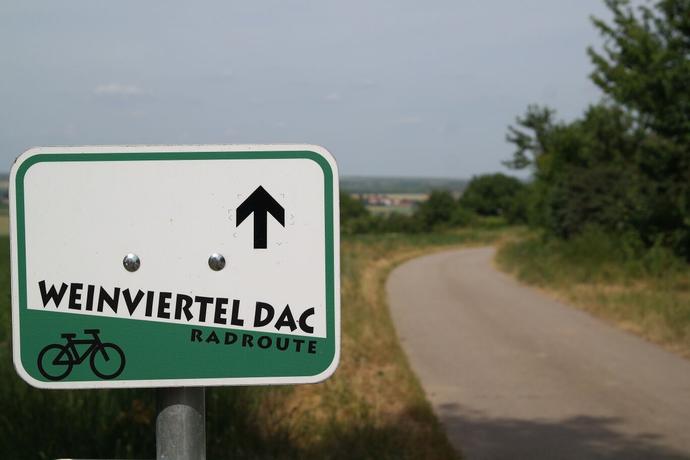
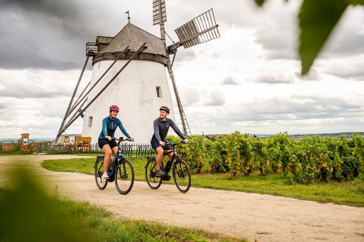
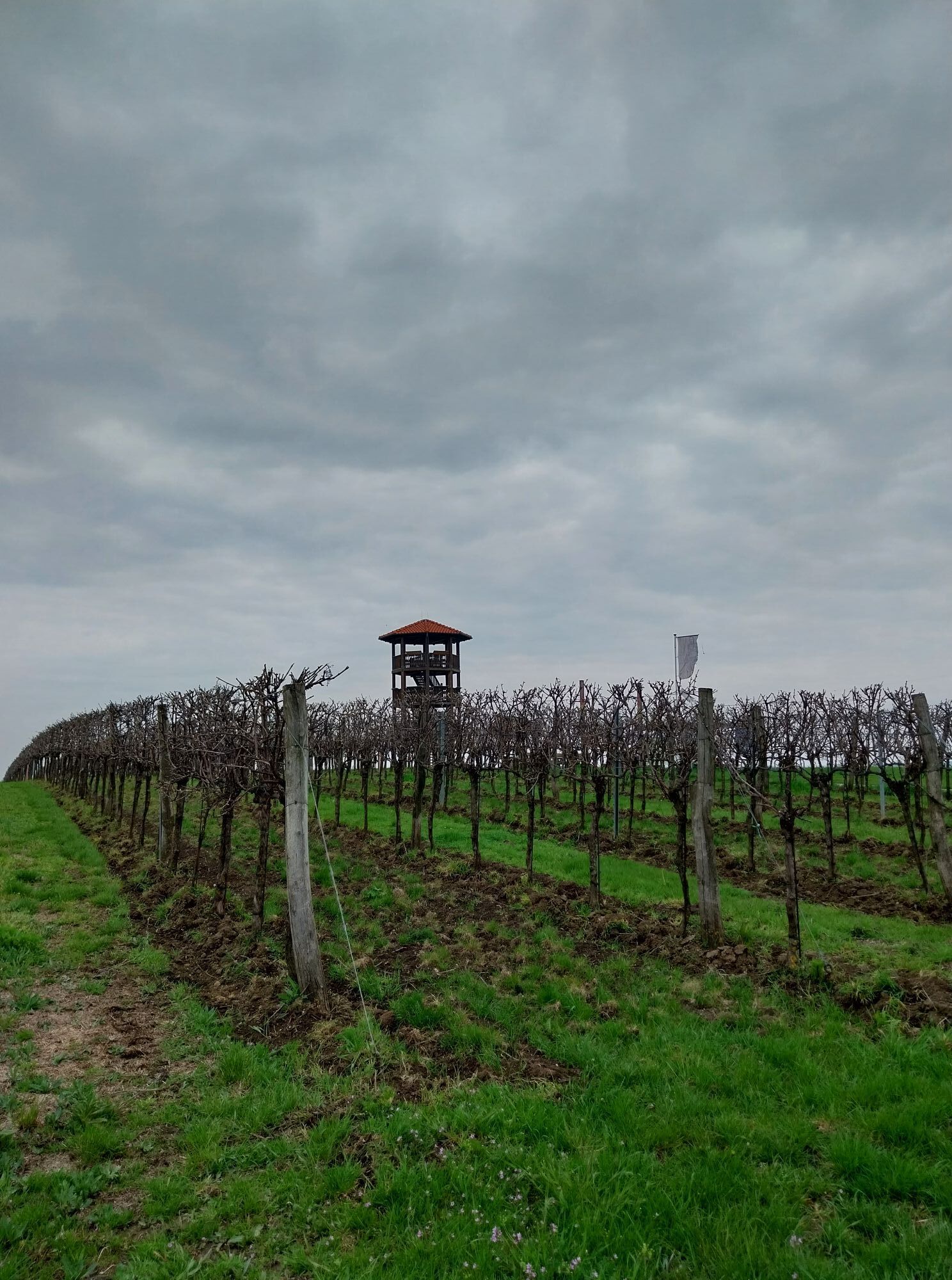
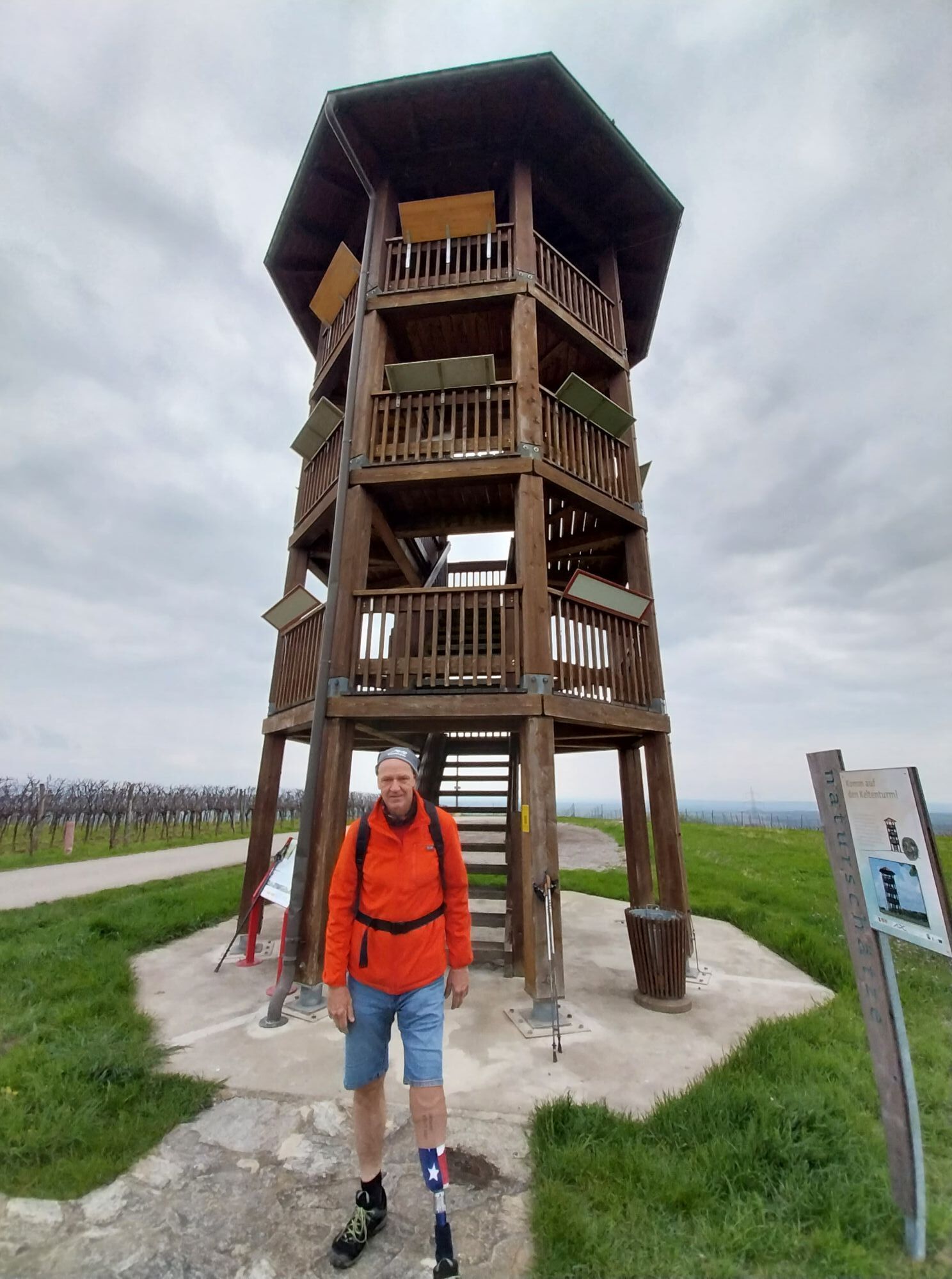
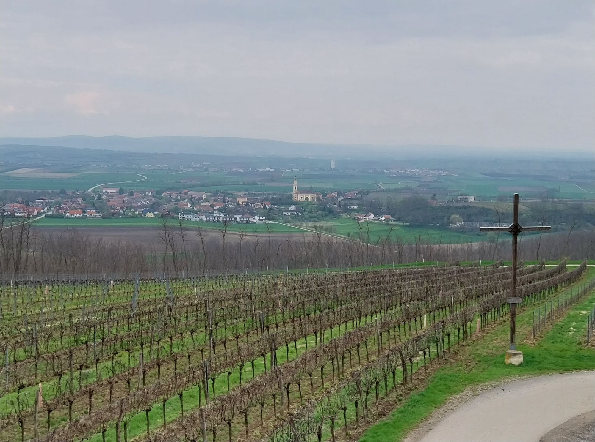
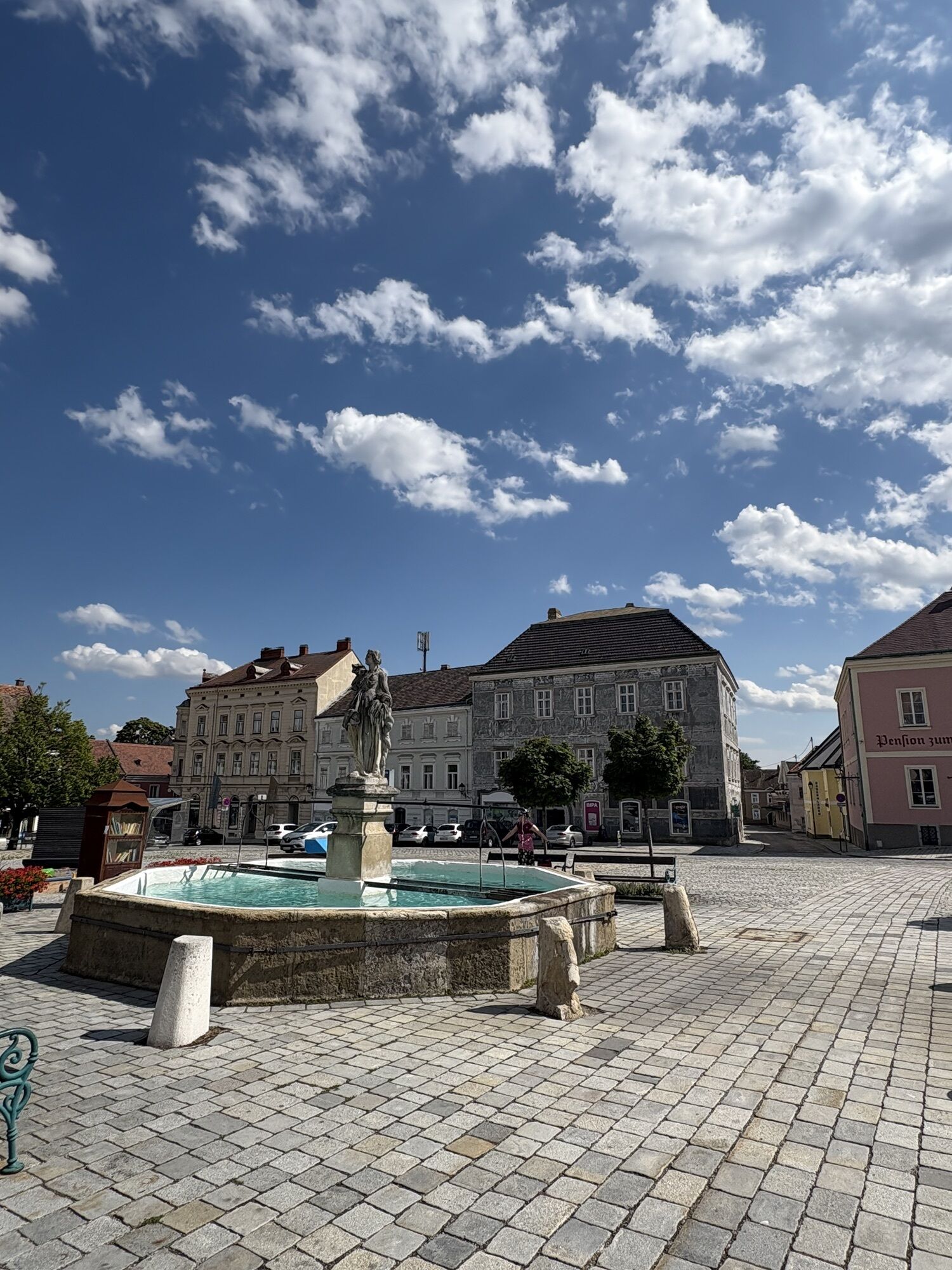
<p>The “Wine Route with Insights – Weinviertel DAC” starts at the historic main square in Retz. Here you should definitely visit the Retz Experience Cellar, the largest historic wine cellar in Austria. Passing the city’s landmark, the windmill, you cycle over gentle hills with vineyards and continue via Waitzendorf, with the first rest opportunity, to the central town of Pulkau. Particularly worth seeing here is the St. Michael’s Church. The route then leads to the pilgrimage site and rest opportunity “Pulkauer Bründl”, with its protected chapel. Via Rafing and Groß-Reipersdorf, you finally reach Röschitz. Here you can enjoy regional delicacies from the Weinviertel at the “Weberkeller” and visit a vaulted cellar with clay carvings.<br />From Röschitz, you have the option to shorten the cycle route directly to Zellerndorf via Deinzendorf. The regular route continues via Roseldorf to Sandberg. As a special attraction, you can overlook the “Celtic Settlement at Sandberg”, Austria’s largest Celtic open-air settlement, from the observation tower. Due to its location in an undeveloped area, it is particularly well preserved.<br />The cycle route continues to Platt, where the Stone Age Cellar Museum, with its unique finds, invites you to rest. The wine cellar lane “Nußwald” is also worth a visit! Then it goes on to Zellerndorf. Here awaits a particularly idyllic ensemble of developed wine architecture – the wine cellar lane “Maulavern”. If needed, you can comfortably return to Retz by train from here (boarding in Platt or Zellerndorf).<br />In Pillersdorf, the “Öhlberg Wine Cellar Lane”, one of the most beautiful in the whole region, invites you to linger and enjoy before returning to the starting point of the route.</p>
<p>Retz is located on the Czech border and is very well accessible by car via federal roads.</p>
<p>Retz is very well accessible by train coming from Vienna. <br />There is also a train connection from Znaim to Retz.</p>
<p>Attention: There is a short-term parking zone within the town center. Please park outside the main square.</p>
In the Weinviertel there are over 100 cycle partner businesses that cater especially to the needs of cyclists. A list of all businesses can be found on our Cycle Partner Page. You can conveniently display the businesses of the desired cycle route via the filter function. Another filter allows you to search for suitable accommodation or a suitable gastronomy business.
The route is suitable for:
trekking bikesmountain bikesParcours populaires à proximité
-
4,4
DAC Radtour-Weinviertel
moyenFaire du vélo 55,1 km -
4,1
»tut gut« Wanderweg Pulkau | Route 2
moyenRandonnée 7,29 km -
4,8
Kellergassenrundwanderweg
moyenRandonnée 8,69 km -
4,5
Ruine Kaya
moyenRandonnée 12,5 km -
Ruine Kaya - Thaya Aussichtspunkt
facileRandonnée 6,82 km -
3,5
Portugieser-Radtour
Faire du vélo 67 km -
3,5
Pierre & vin
moyenRandonnée 10,8 km -
5,0
Eggenburg und Kogelsteine
facileRandonnée 8,25 km -
4,5
Bergrunde
moyenRandonnée 5,18 km -
4,7
Über NP Thaya zu historischen Städten / Etappe 2 Retz - Znaim
facileRandonnée 17,2 km
Randonnée et suivi


Ne manquez pas les offres et l'inspiration pour vos prochaines vacances
Votre adresse électronique a été ajouté à la liste de diffusion.