


Weinsbergerwald cycle path
Photos de nos utilisateurs
-
 © Hans FelliCréé le 03.05.2026
 -
 © ManfredCréé le 25.04.2026
 -
 © ManfredCréé le 25.04.2026
 -
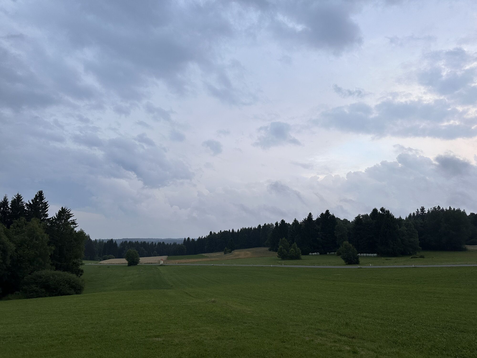
 © Monika DiemCréé le 20.07.2025
 -
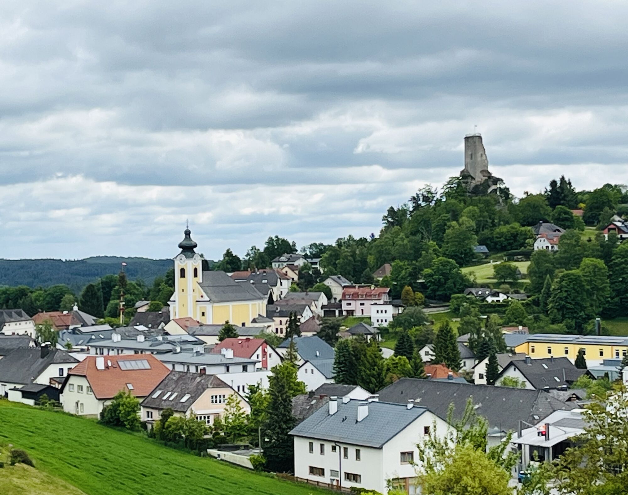
 © josef duermoserCréé le 18.04.2026
 -
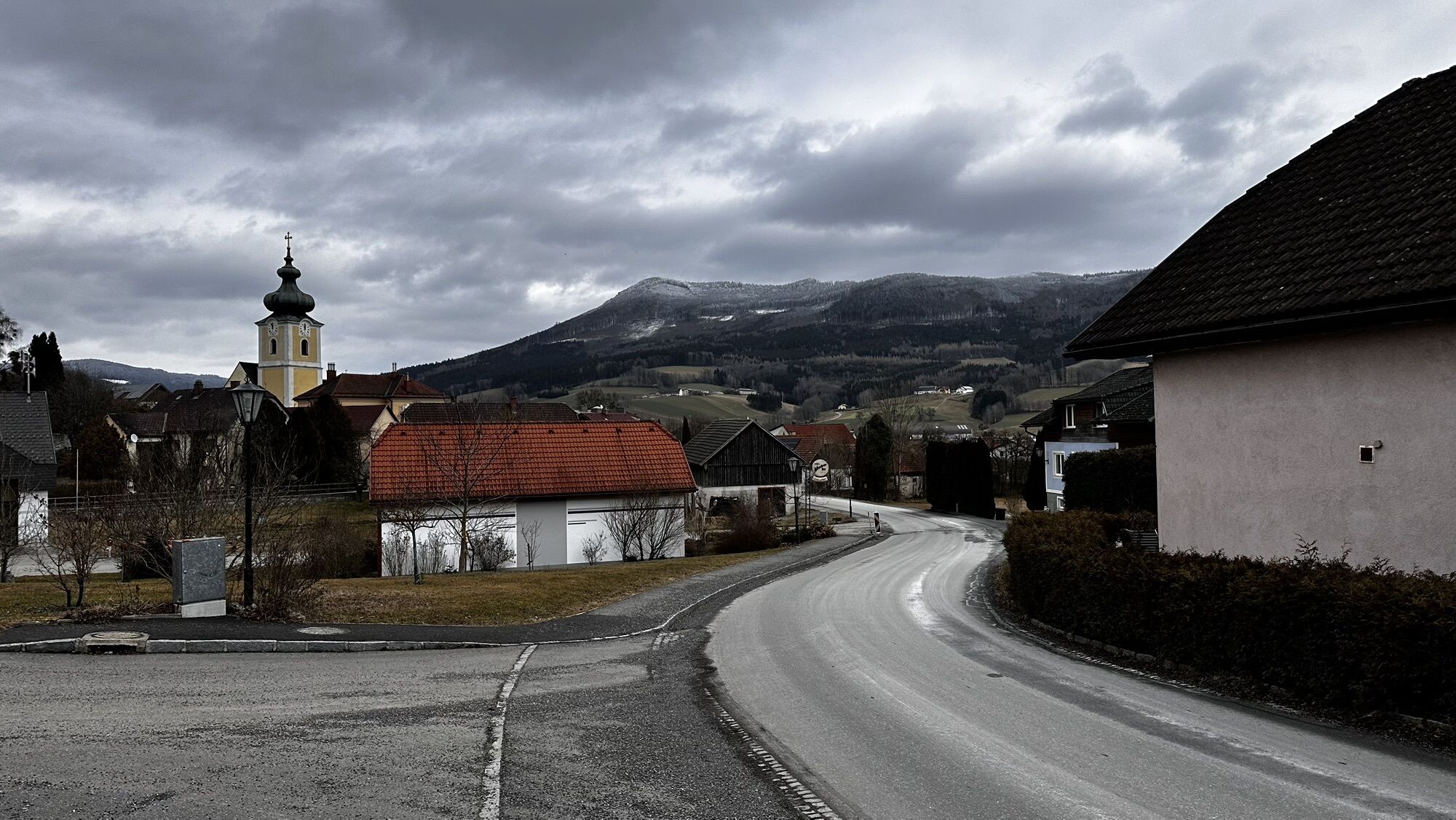
 © josef duermoserCréé le 17.04.2026
 -

 © Gerhard DoberschekCréé le 22.03.2026
 -
 © ElkeACréé le 08.03.2026
 -
 © josef duermoserCréé le 07.03.2026
 -
 © josef duermoserCréé le 07.03.2026
 -
 © josef duermoserCréé le 07.03.2026
 -
 © SusanneCréé le 14.12.2025
 -
 © SusanneCréé le 14.12.2025
 -
 © zirberlCréé le 29.09.2025
 -
 © zirberlCréé le 29.09.2025
 -
 © zirberlCréé le 27.09.2025
 -
 © Franz SchönbichlerCréé le 07.08.2025
 -
 © Monika DiemCréé le 16.07.2025
 -
 © Monika DiemCréé le 15.07.2025
 -
 © ReginaStCréé le 19.06.2025
 -

 © PetritaCréé le 30.05.2025
 -
 © Balázs ZeleyCréé le 15.02.2025


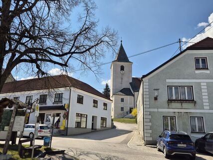
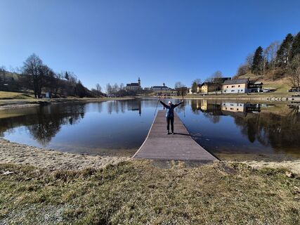
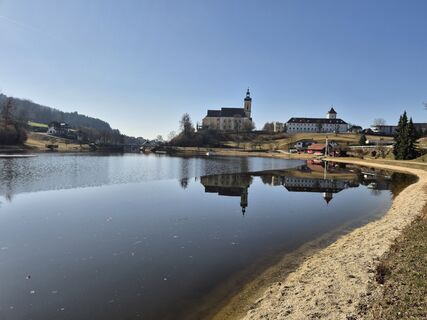
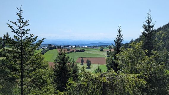
Breathtaking views as far as the Mühlviertel, picturesque paths through idyllic valleys, refreshing stops along the route – the cycle route through the Weinsberger Forest is a rewarding all-round package....
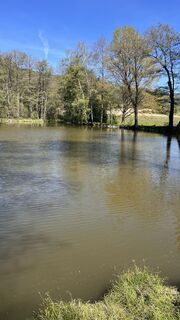
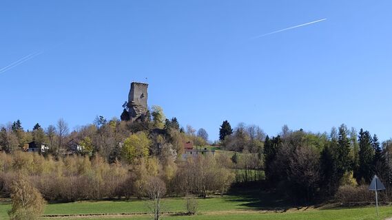
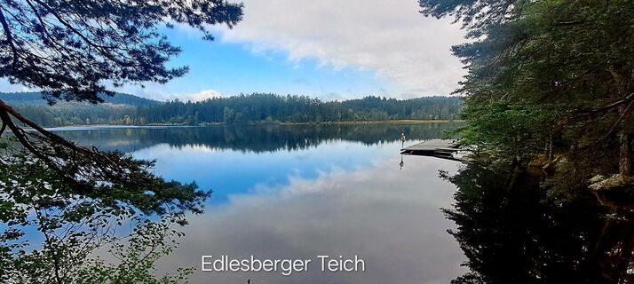
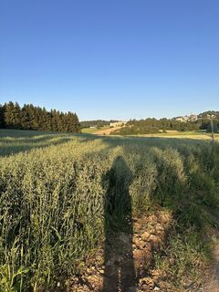
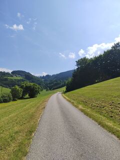
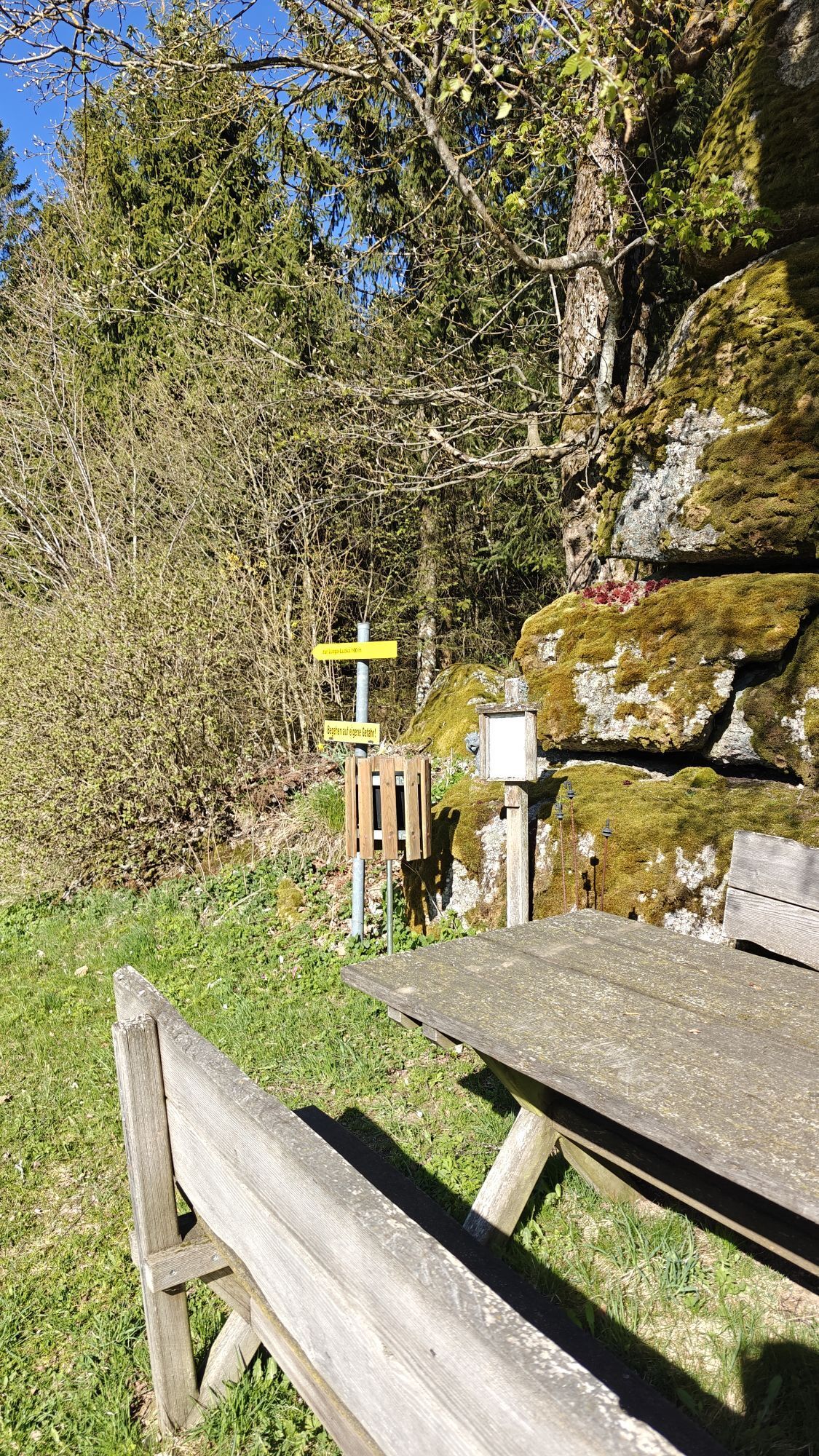
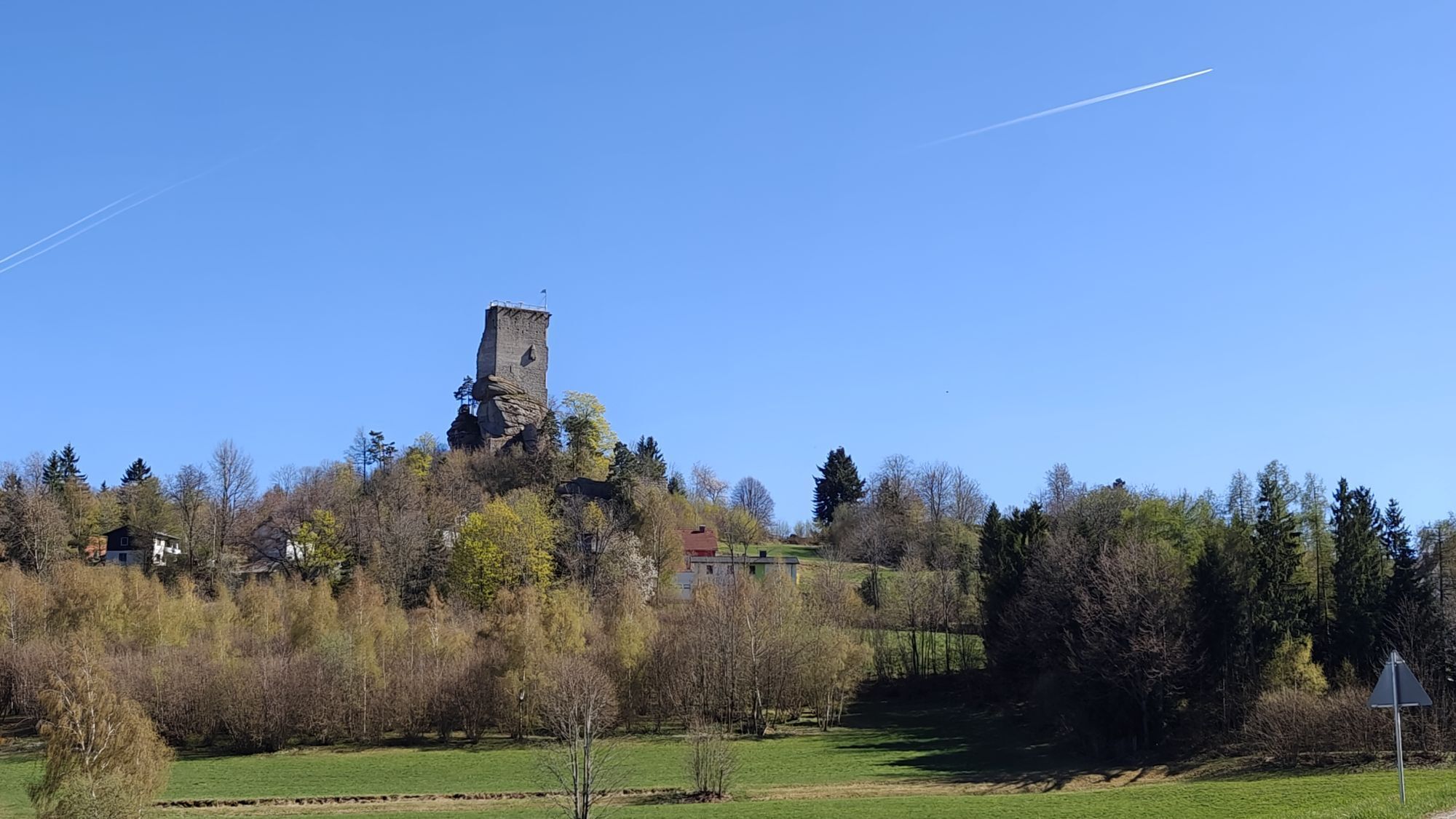
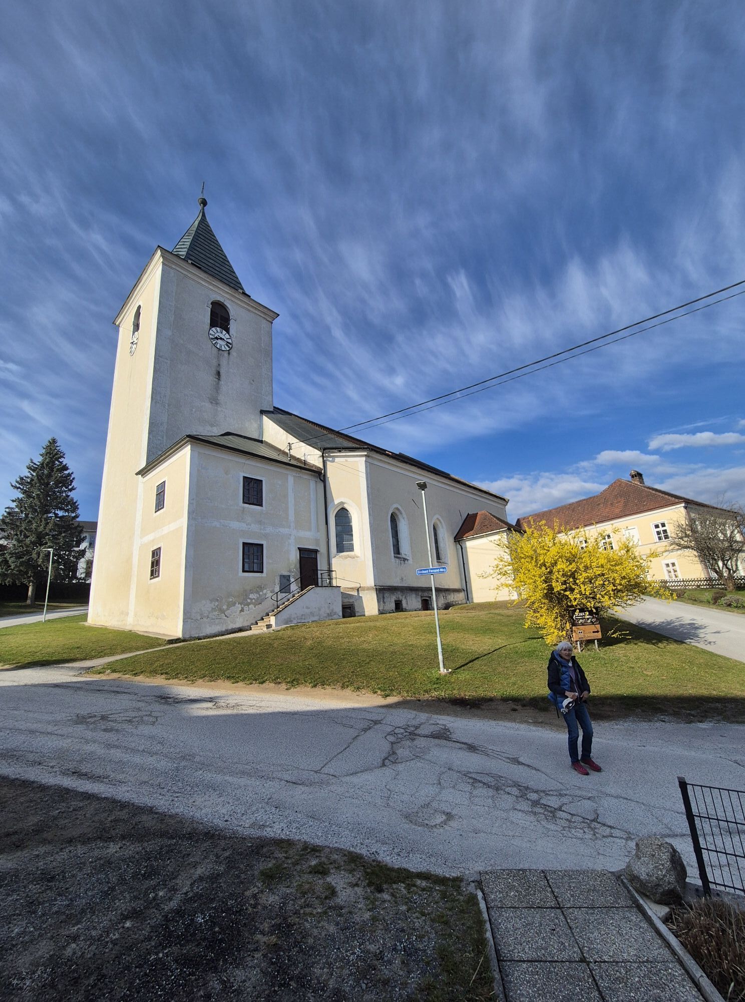
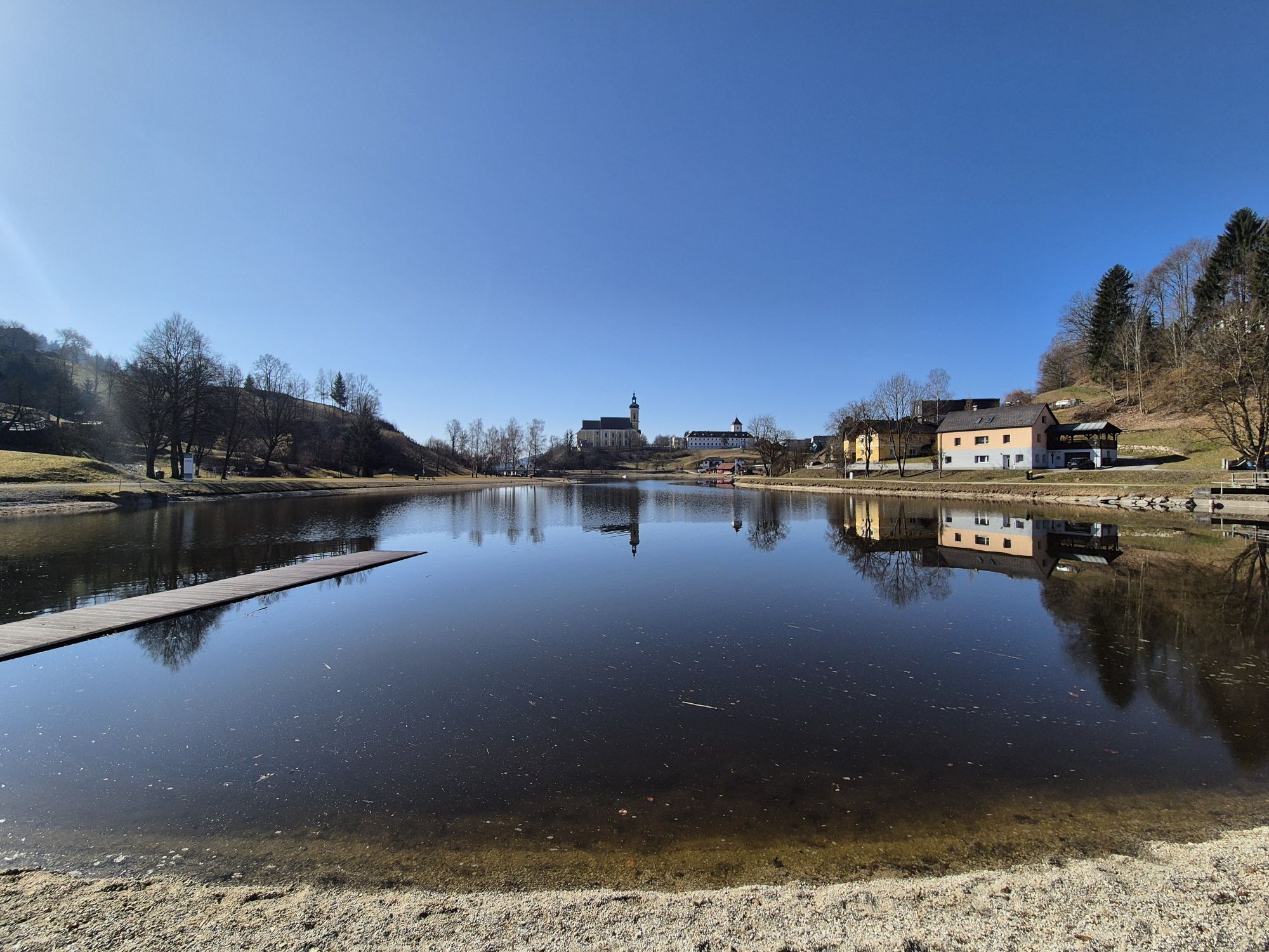
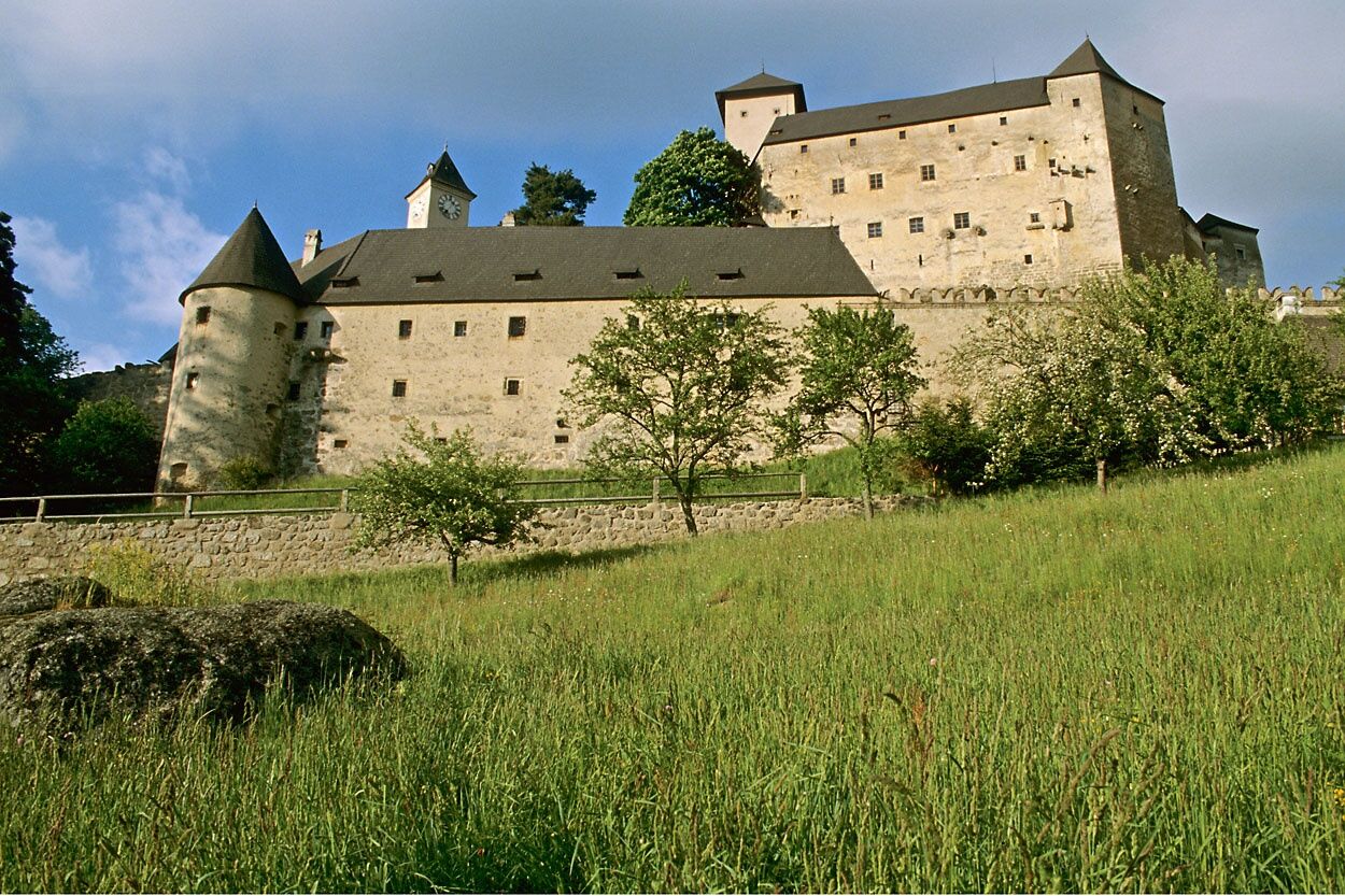
<p>Breathtaking views as far as the Mühlviertel, picturesque paths through idyllic valleys, refreshing stops along the route – the cycle route through the Weinsberger Forest is a rewarding all-round package. The circular route through Austria’s largest contiguous forest area impresses with nature-related sights that invite you to linger. Even the Schlesingerteich lake not far from the start promises pure relaxation. And there are even more attractions along the route. Just a few kilometers further lies the Arbesbach Bear Forest. Here, in addition to the adventurous experience of bear watching, there is plenty of opportunity to explore nature. In a landscape that wants to be experienced, the Rappottenstein Castle also rises. The mighty building with Italian flair is an absolute eye-catcher and definitely worth a break. Inspired by these unforgettable impressions, the route leads back via Martinsberg to Altenmarkt, the start and end point of this leisurely cycle tour.</p>


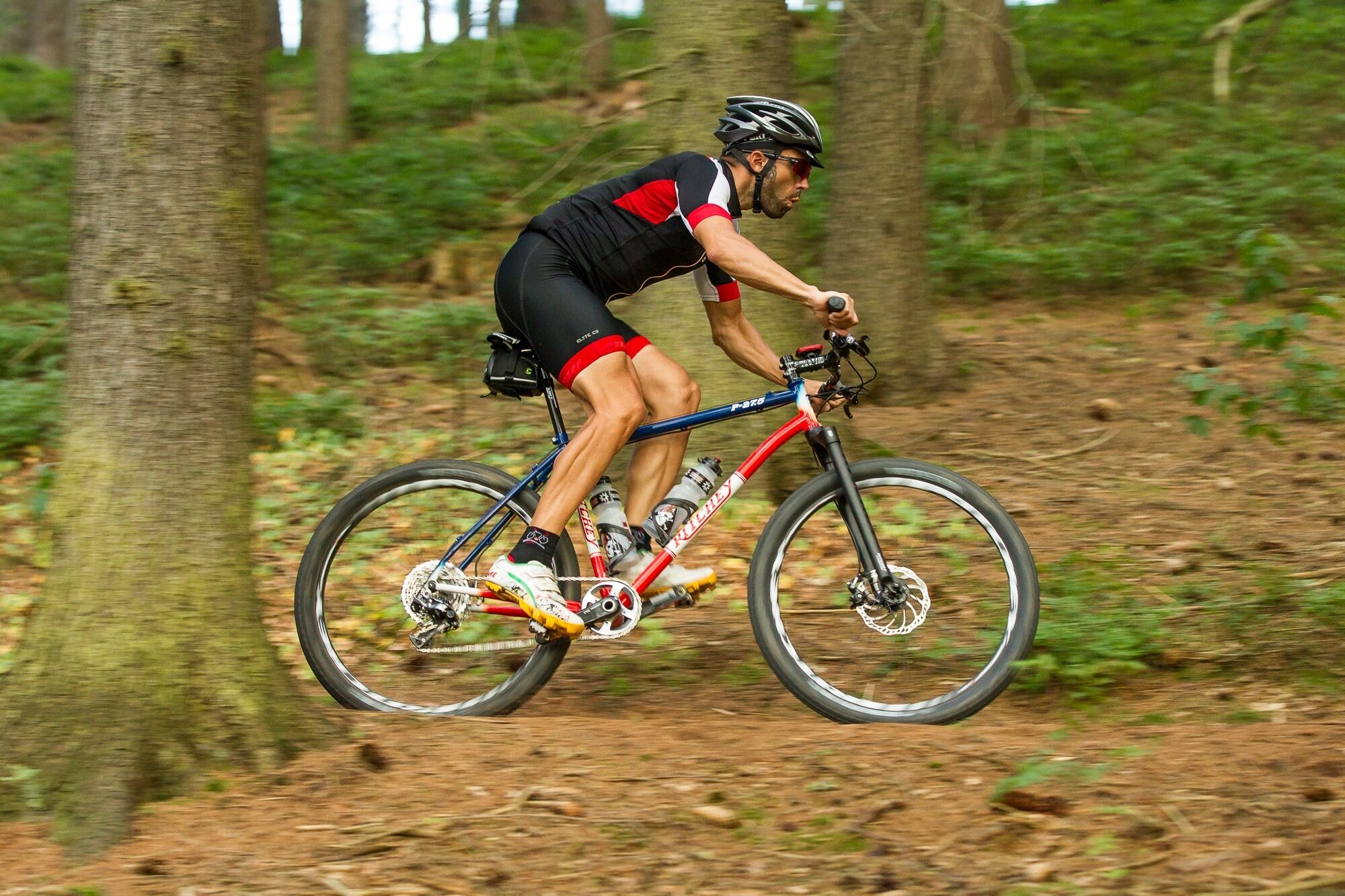
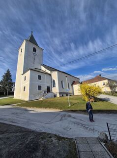
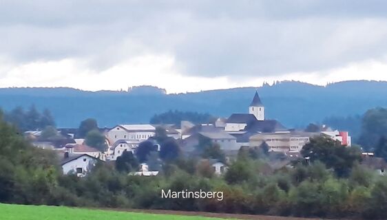
<p>With a total length of 144.7 kilometers and 2,452 meters of altitude gain, the Weinsbergerwald cycle path is a varied challenge. Therefore, the route is especially suitable for experienced cyclists. For a relaxed experience on two wheels, it is recommended to split the route into two or three daily stages.</p><p>The start and finish of the circular route is Altenmarkt. From there it goes via Dorfstetten to Bärnkopf, where the crystal-clear Schlesingerteich invites you to linger. Then the route leads to Arbesbach. A stop at the local bear forest there offers adventurous nature impressions. Absolutely worth seeing is the next place along the route – Rappottenstein with the impressive Rappottenstein Castle. Via Martinsberg, the route goes through picturesque landscapes back to Altenmarkt. Cosy inns there offer well-deserved refreshment after a successful bike ride.</p>
<p>Only conditionally suitable for children – steep climbs</p>
<p>Vienna - A1 to exit Ybbs/Wieselburg - B25 Erlauftal federal road to Persenbeug - then on the B3 to Yspersdorf - then on the L7275 to Altenmarkt<br /></p><p><br /> Linz - take the B3 towards Perg/Mauthausen/Steyregg to Yspersdorf - then on the L7275 to Altenmarkt</p>
Waldviertel Tourism
3910 Zwettl, Sparkassenplatz 1/2/2
(T) +43 2822 54109
(E) info@waldviertel.at
(I) www.waldviertel.at
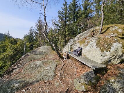
This demanding cycling route requires not only a good gear system and good brakes but also your fitness.
Webcams de la tournée
Parcours populaires à proximité
-
3,8
Yspertal: Druidenweg - Ysperklamm
moyenRandonnée 9,56 km -
4,5
Ausgedehnte Peilsteinrunde
moyenRandonnée 13,7 km -
4,9
Herzsteinweg Ysper und Burgsteinmauer
moyenRandonnée 14,7 km -
3,9
Burgstall-Wanderweg Nr. 3
moyenRandonnée 11,8 km -
4,9
LAIMBACH Ostrong Peilstein 20220716
moyenRandonnée 7,70 km -
4,8
Ysperklamm
facileRandonnée 3,92 km -
4,5
Teddybaerentrail Lohnbachfall
facileChemin thématique 4,41 km -
4,8
Natur-Geheimnis-Pfad Nr. 5
facileRandonnée 4,04 km -
3,6
Bärnkopf Ysperklammstrecke
difficileVTT 31,0 km -
5,0
Castle stone wall 975m - Variant a
moyenRandonnée 5,26 km

Randonnée et suivi


Ne manquez pas les offres et l'inspiration pour vos prochaines vacances
Votre adresse électronique a été ajouté à la liste de diffusion.