







March Nature Route

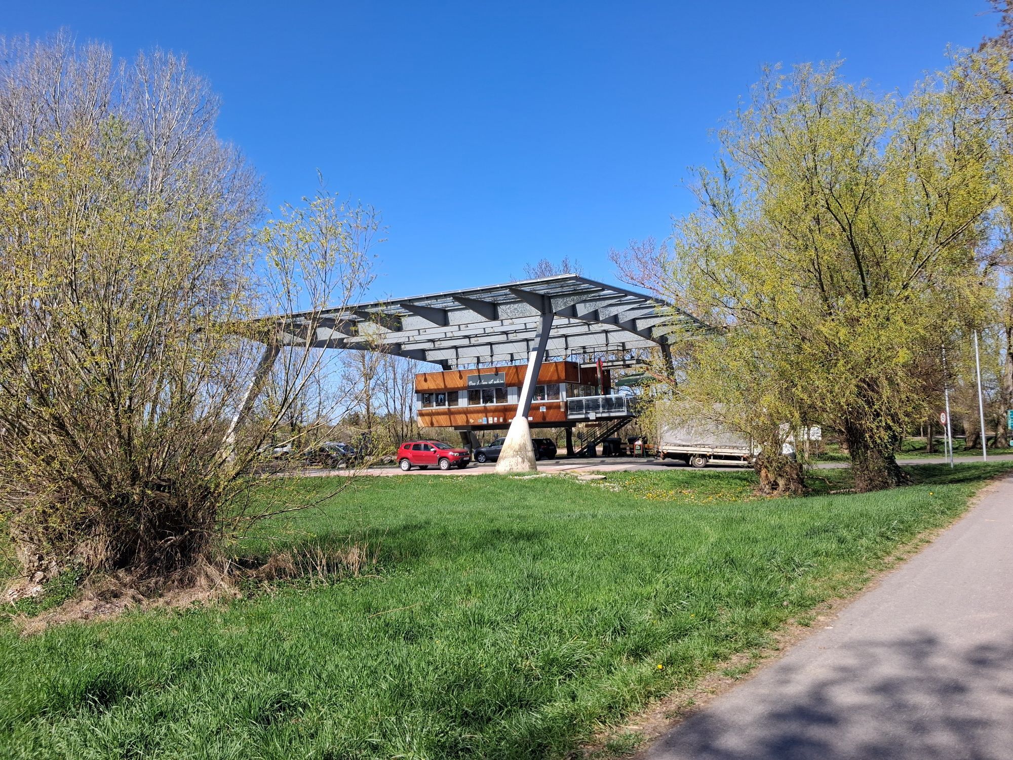

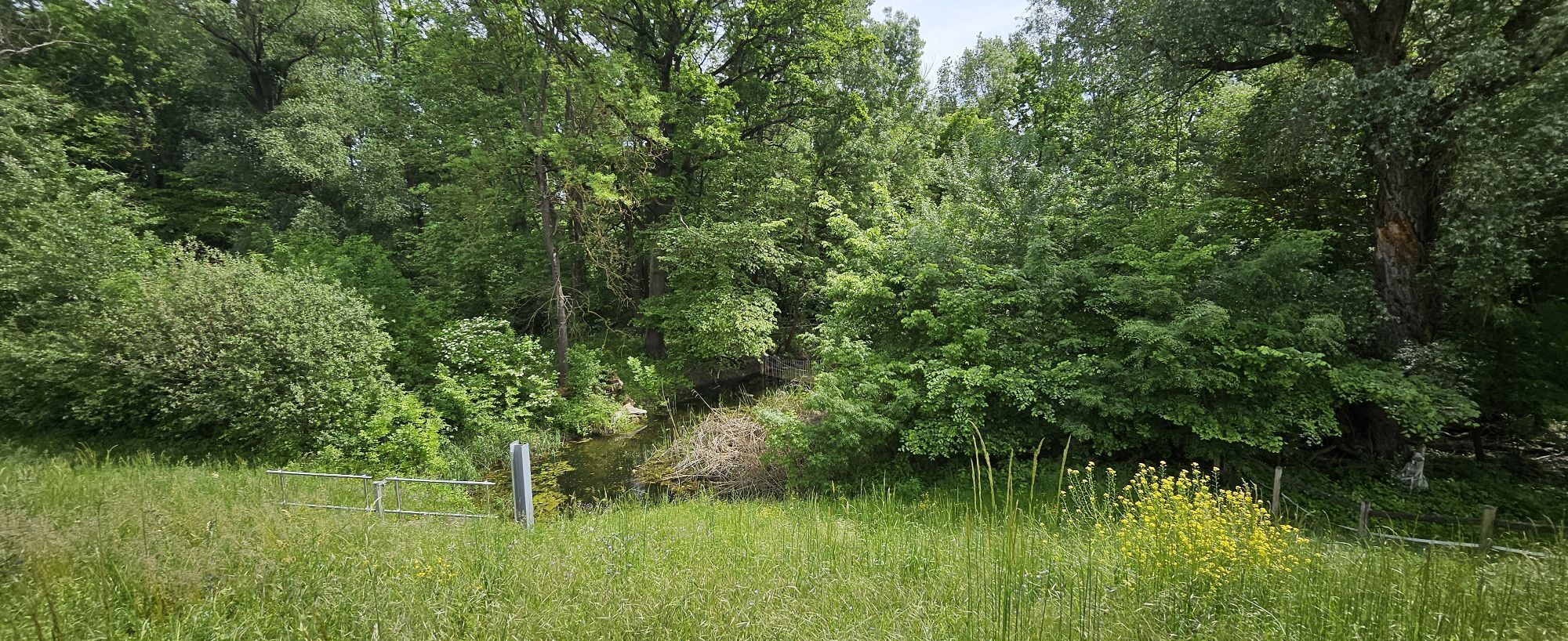
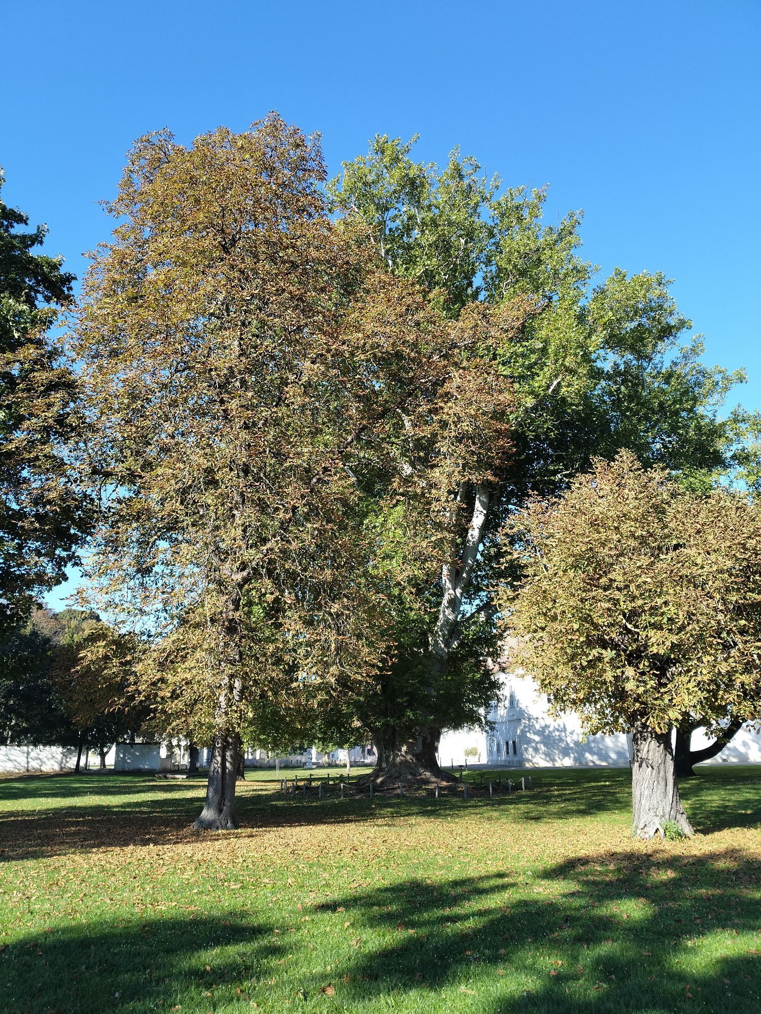
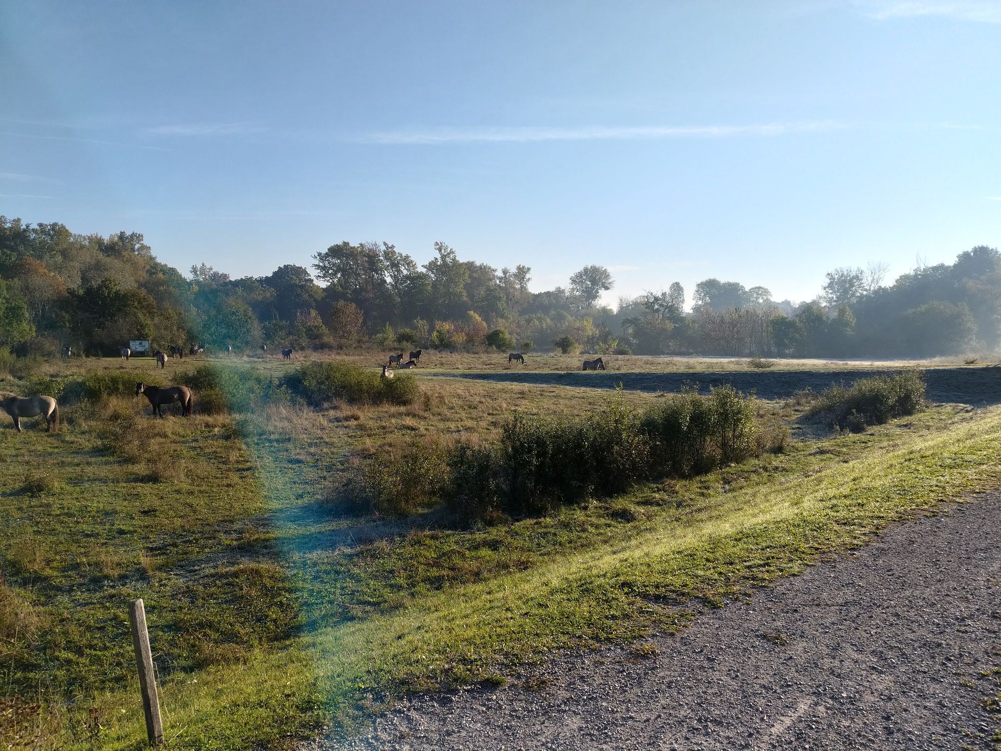
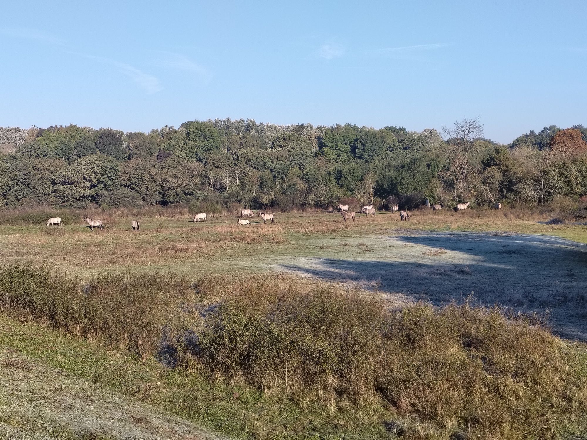
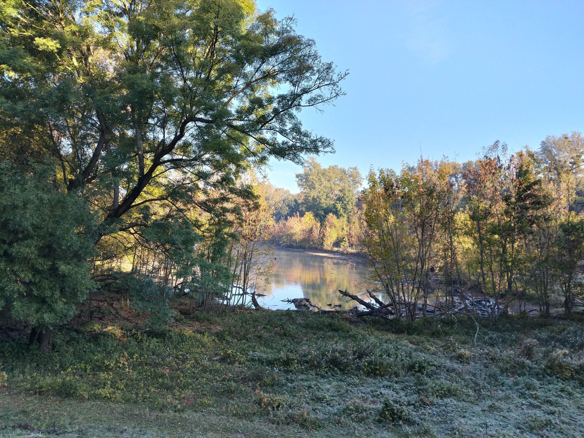
<p>The border-crossing route proceeds through the March-Auen area. The March is crossed by bridge and ferry. 37 km of impressive landscape await!</p>

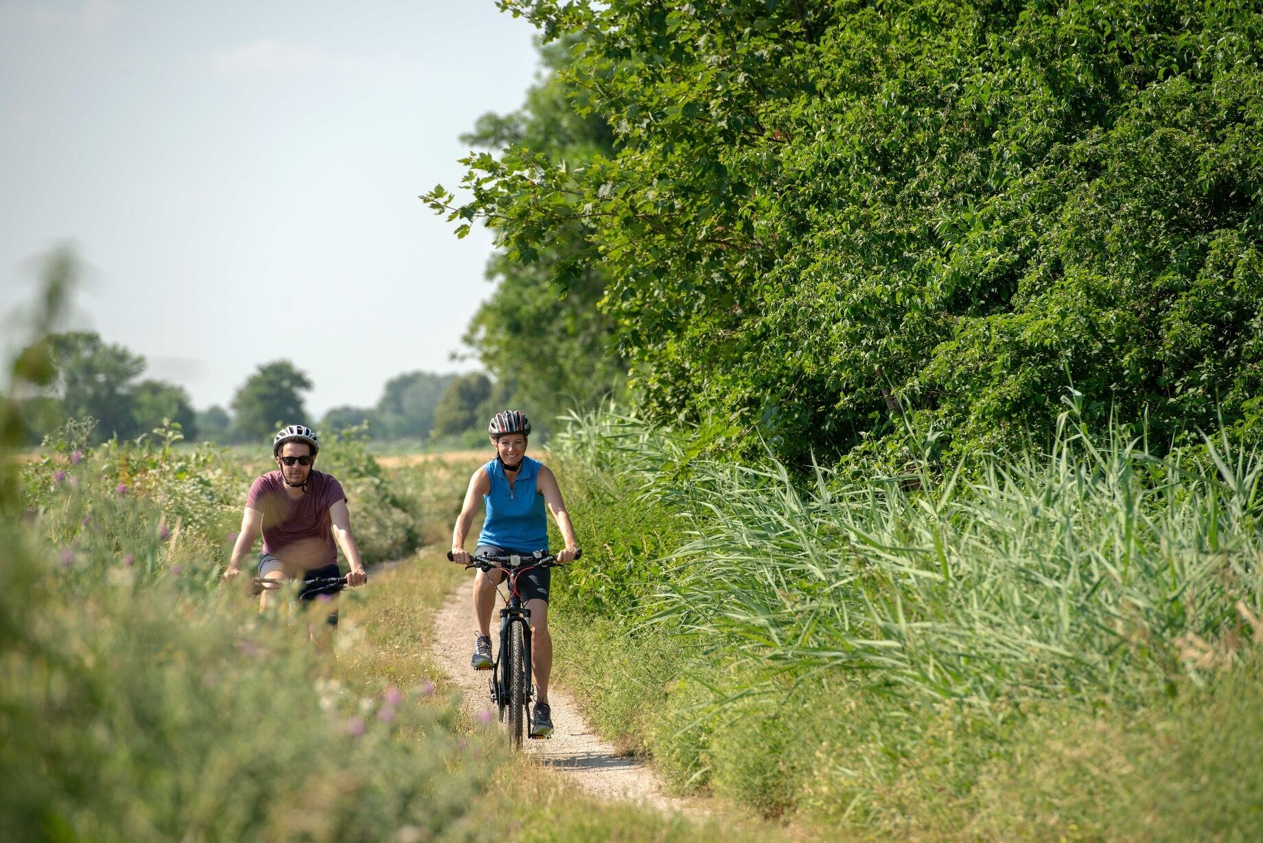

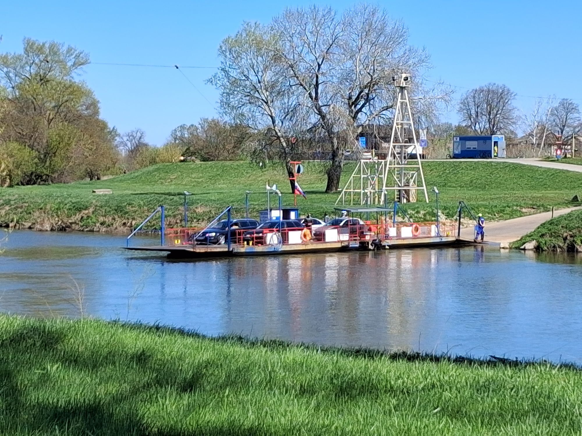
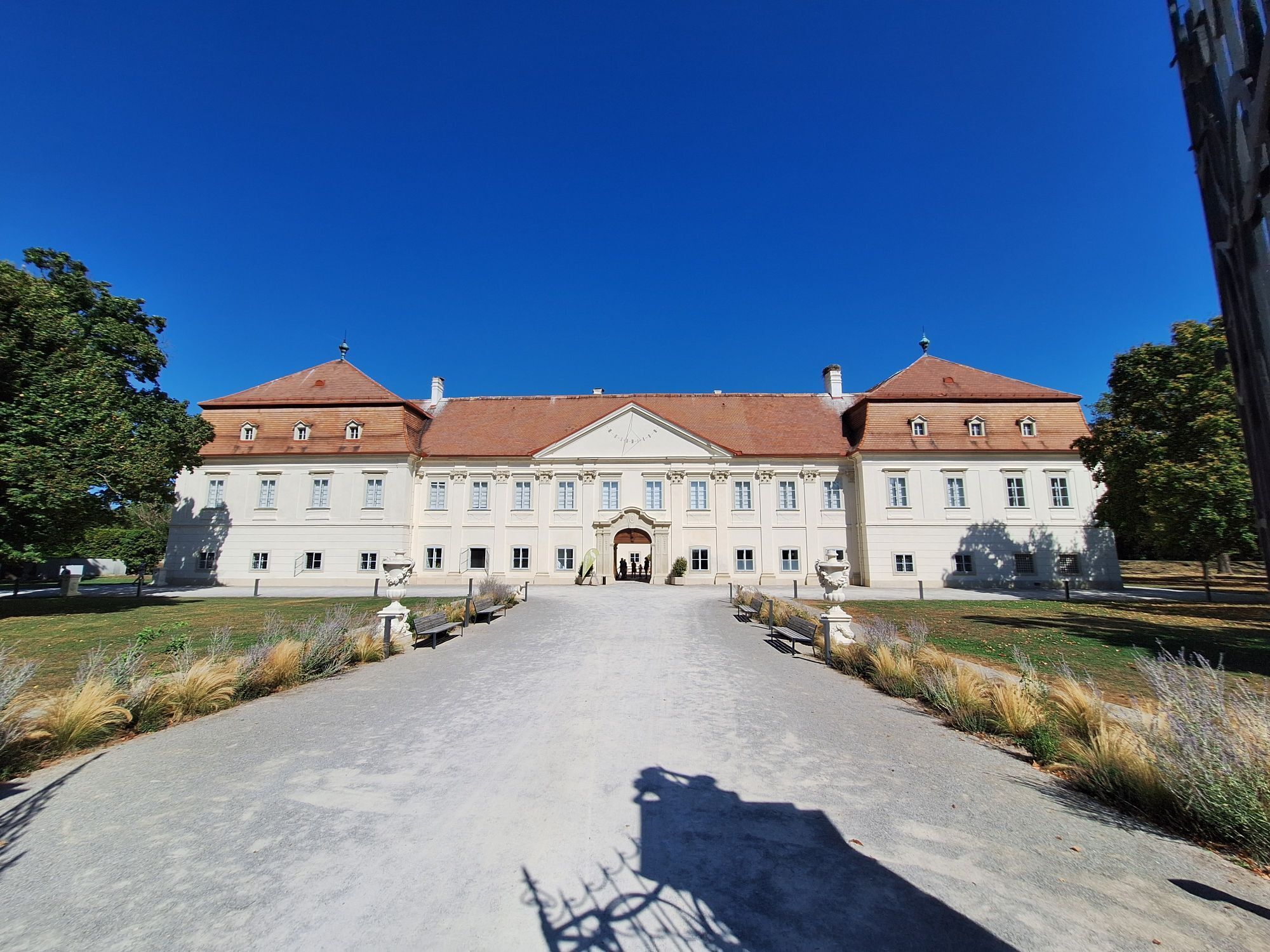
<p>Starting point for this 37km tour is Schloss Marchegg. As the venue for the Lower Austria State Exhibition 2022 you get to immerse yourself in the exhibition 'MARCHFELD Secrets – People. Culture. Nature.'. Marchegg is frequently called Austria's stork city due to its white stork colony. You definitely ought to plan a trip to see the 'Adebar' family. After visiting the exhibit and exploring the nature reserve, swing on to your saddle and follow the cycle path along the Damm to the new VysoMarch cycle bridge. Cross the March here and cycle into neighbouring Slovakia, where you take a left and head for Vysoká pri Morave (Hochstetten). From here follow EuroVelo 13 until you come to Záhorská Ves (Ungeraiden). To get back to Austria take the ferry there to Angern an der March. Ride along the Kamp-Thaya-March cycle path, passing Zwerndorf and Oberweiden, before you get back to your starting point again in Marchegg.</p>
<p><strong>Helmpflicht:</strong> Für Kinder bis 15 Jahre gilt generell eine Helm & Warnwestenpflicht in der Slowakei.</p><p>Wir empfehlen auch für Erwachsene Helme und bei schlechter Sicht bzw. bei Dunkelheit außerhalb von Ortschaften eine Warnweste zu tragen.</p><p>Bitte vergessen Sie des Weiteren Ihren <strong>Reisepass bzw. Personalausweis</strong> nicht.</p>
Verantwortlicher für den Inhalt dieser Tour
Weinviertel Tourismus GmbH
Letzte Aktualisierung: 21.03.2025
Bestellen Sie ihr Radler Picknick vorab www.weinviertel.at/radlerpicknick
Don't forget your passport!
Cost of the ferry journey on the Záhorská Ves (SK) to Angern/March (AUT) is EUR 1 per person. Please note possible restrictions with the ferry service!
Parcours populaires à proximité
-
4,8
NaturaTrail - Die Marchauen bei Marchegg
facileRandonnée 14,2 km -
4,8
Marchegg - Marchauen - Marchegg
Randonnée 8,50 km -
4,0
Matzner Hügel und -Wald
facileRandonnée 12,0 km -
4,5
Traminertour
moyenFaire du vélo 60,1 km -
4,0
Spannberg runde
facileRandonnée 13,3 km -
4,5
March 2 - von Dürnkrut bis Wolfsthal
facileKayak / Canoë 56,9 km -
Grenzgänge mit Boot 3: Thaya - March - Donau
facileKayak / Canoë 98,9 km -
5,0
Hohenruppersdorf, Niederösterreich
facileRandonnée 12,9 km -
5,0
Raggendorf - Simandlpfad
facileRandonnée 3,08 km -
4,3
Runde um das Gehege (Remise)
facileRandonnée 6,42 km

Randonnée et suivi


Ne manquez pas les offres et l'inspiration pour vos prochaines vacances
Votre adresse électronique a été ajouté à la liste de diffusion.





