






Erlauf Valley Cycle Path (formerly Ötscherland Cycle Route)
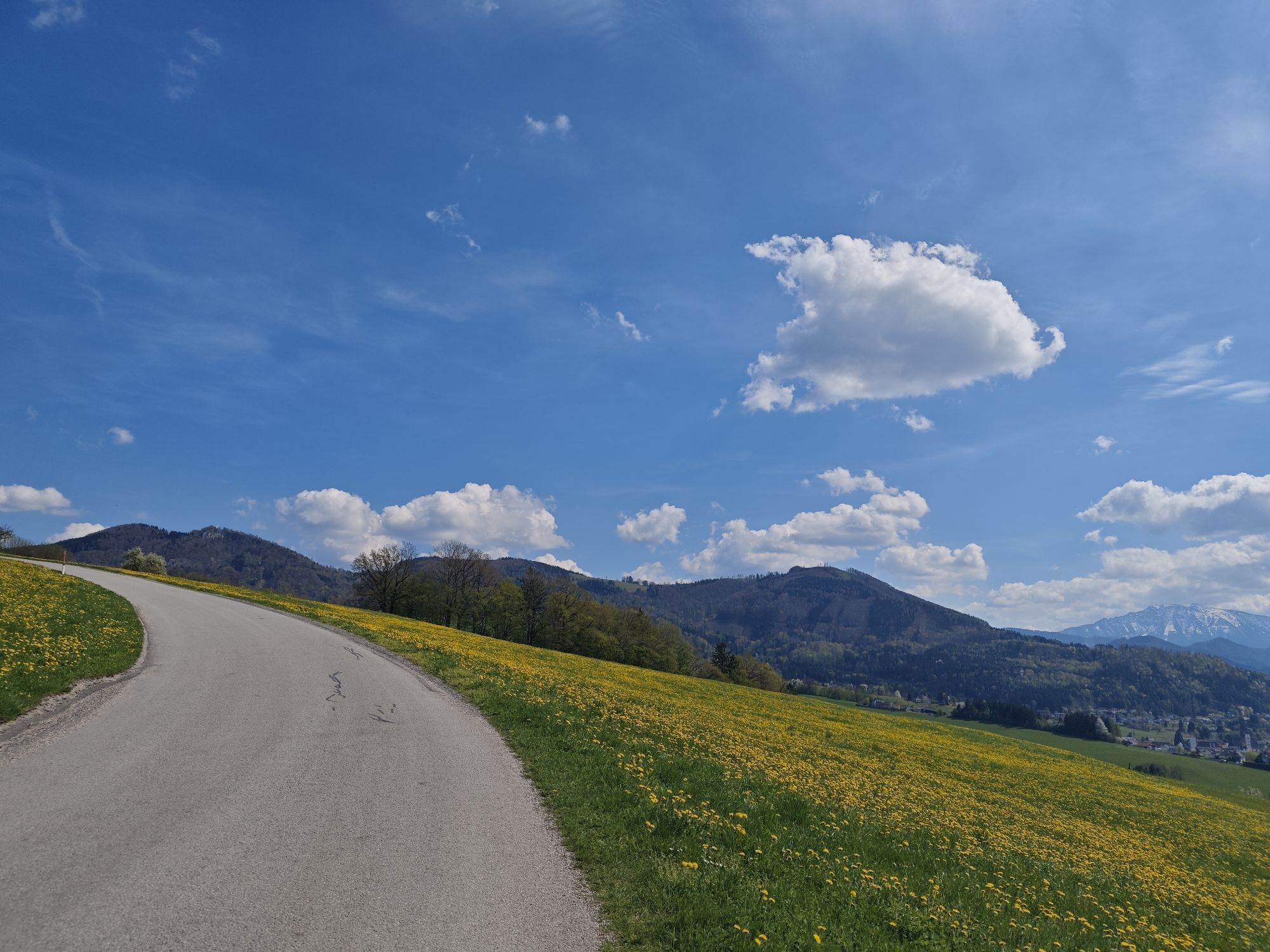
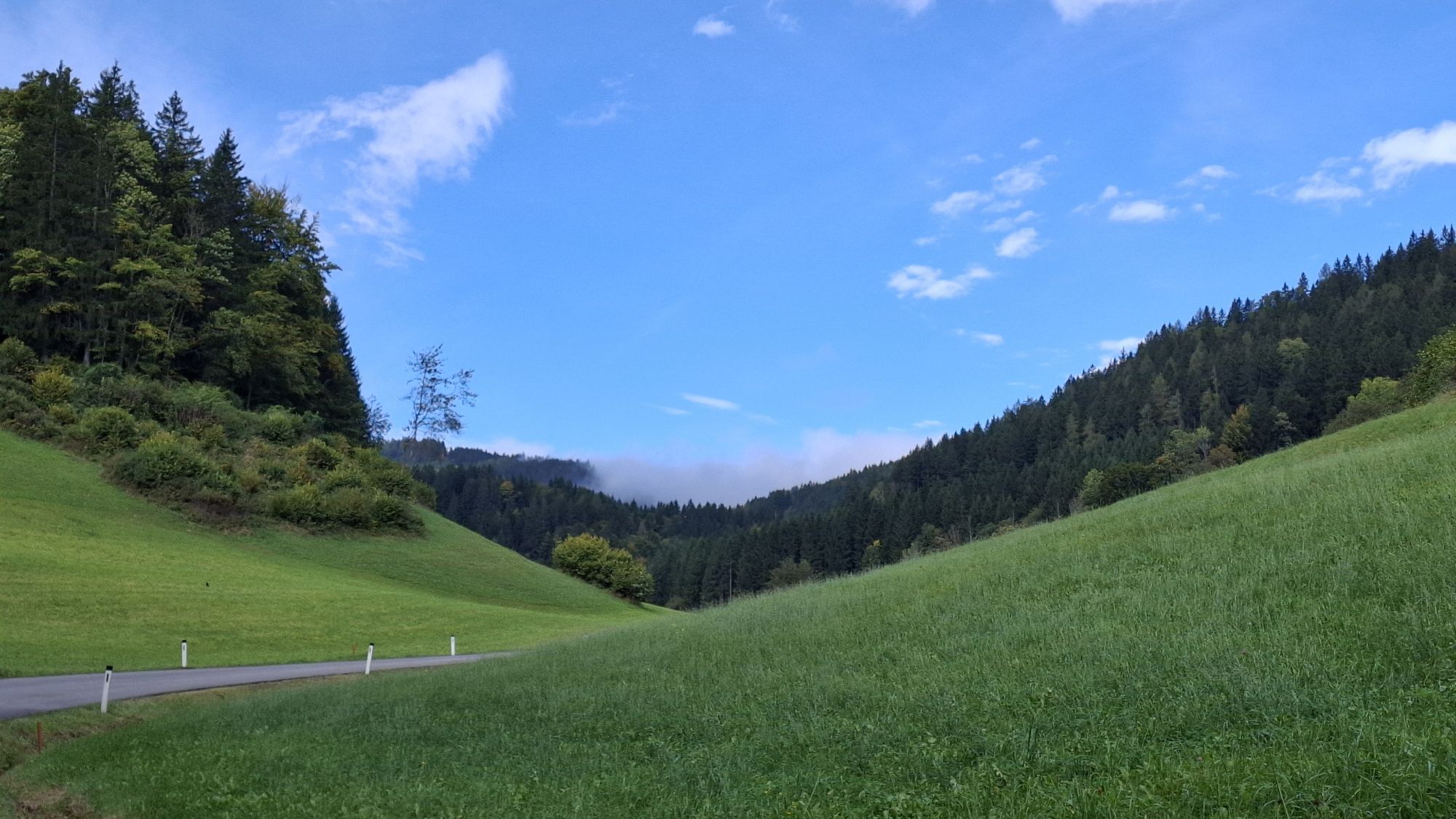
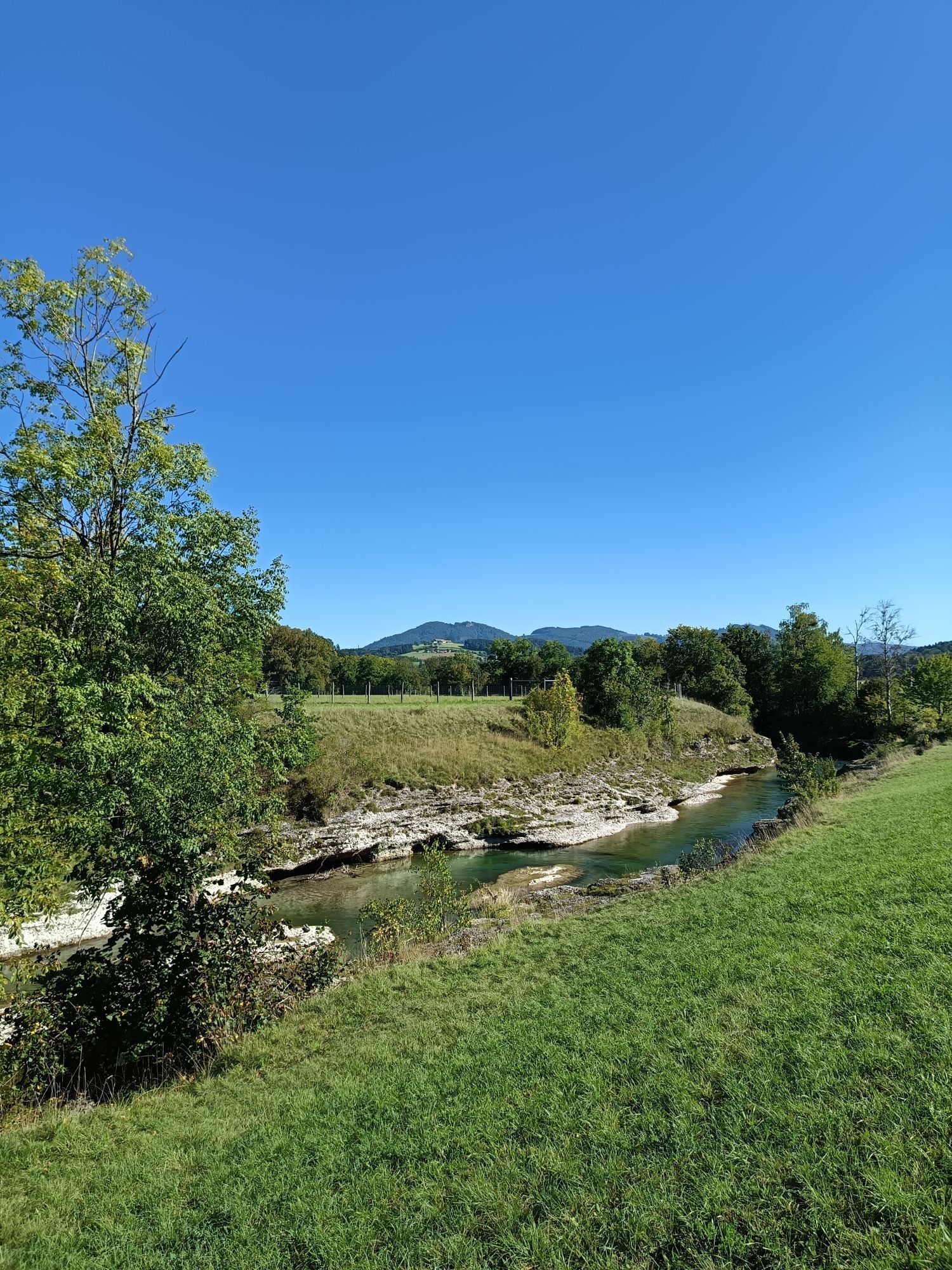
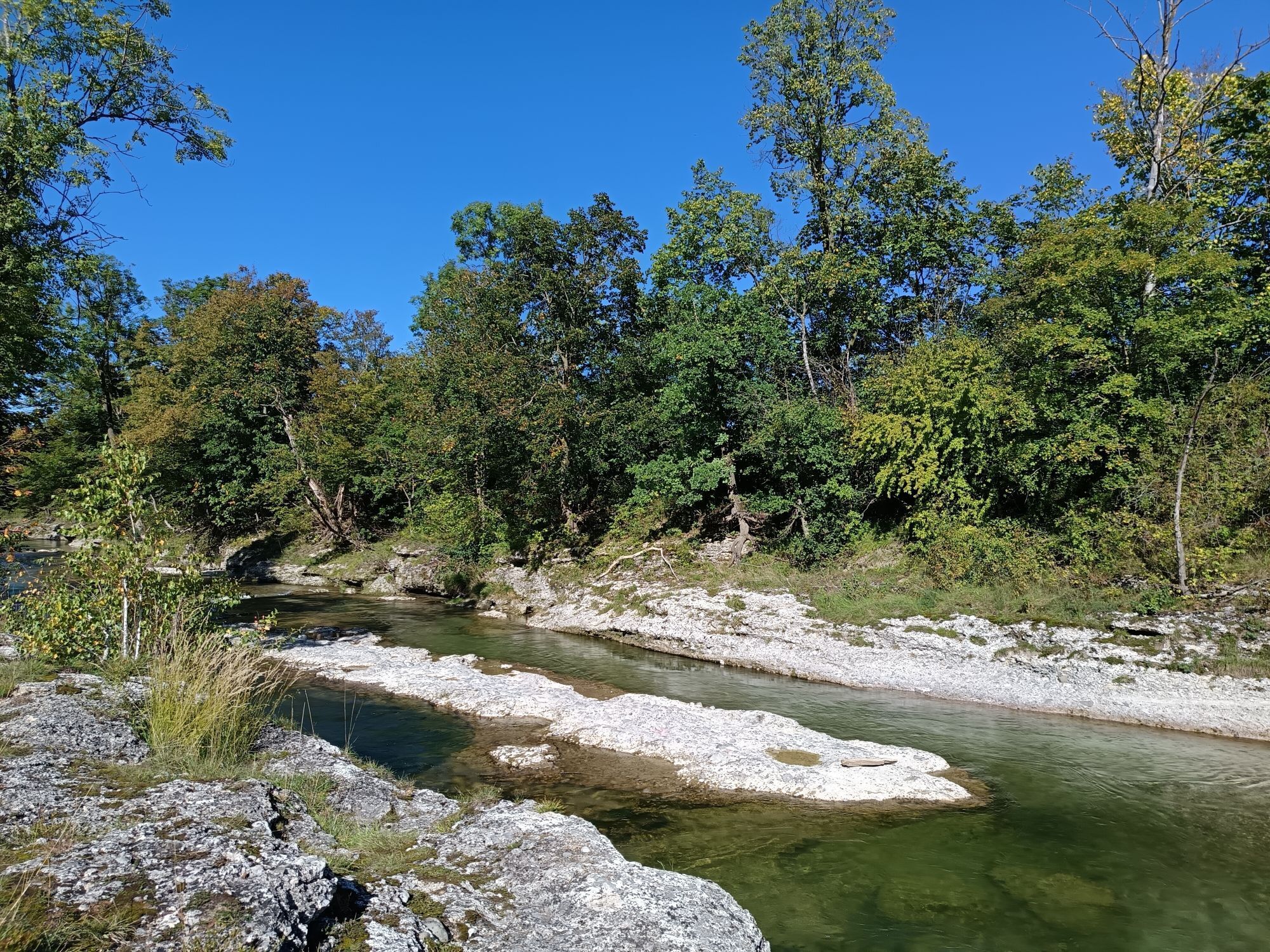
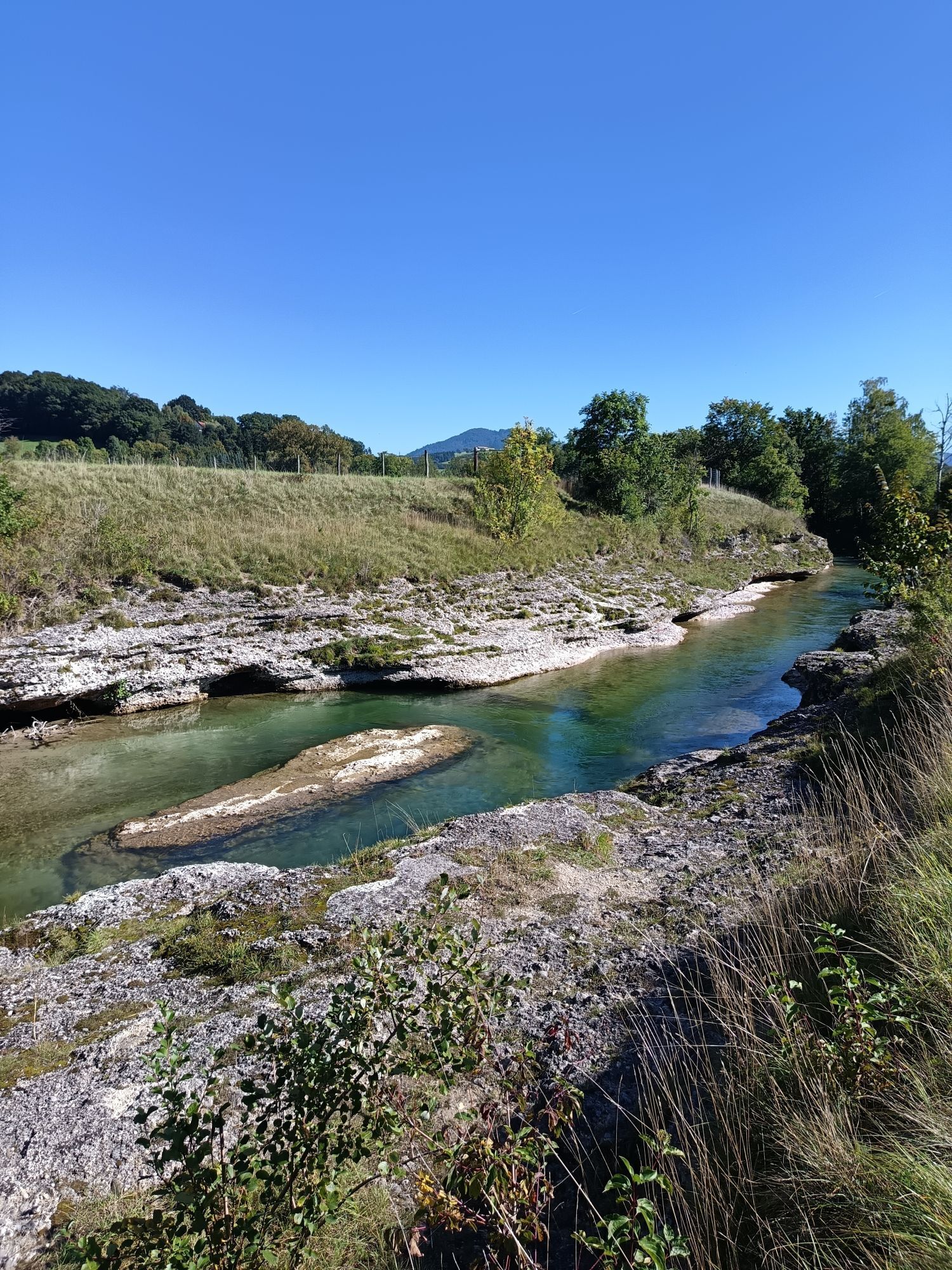
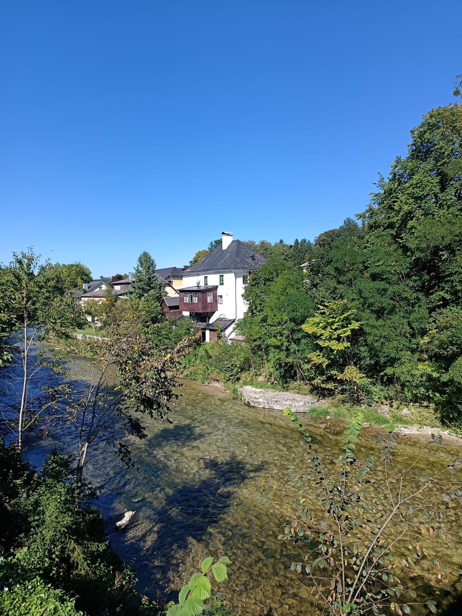
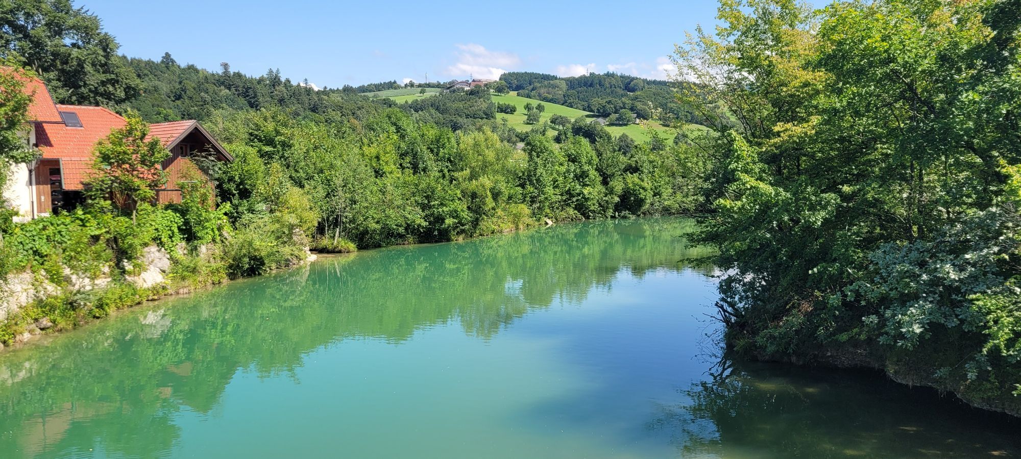

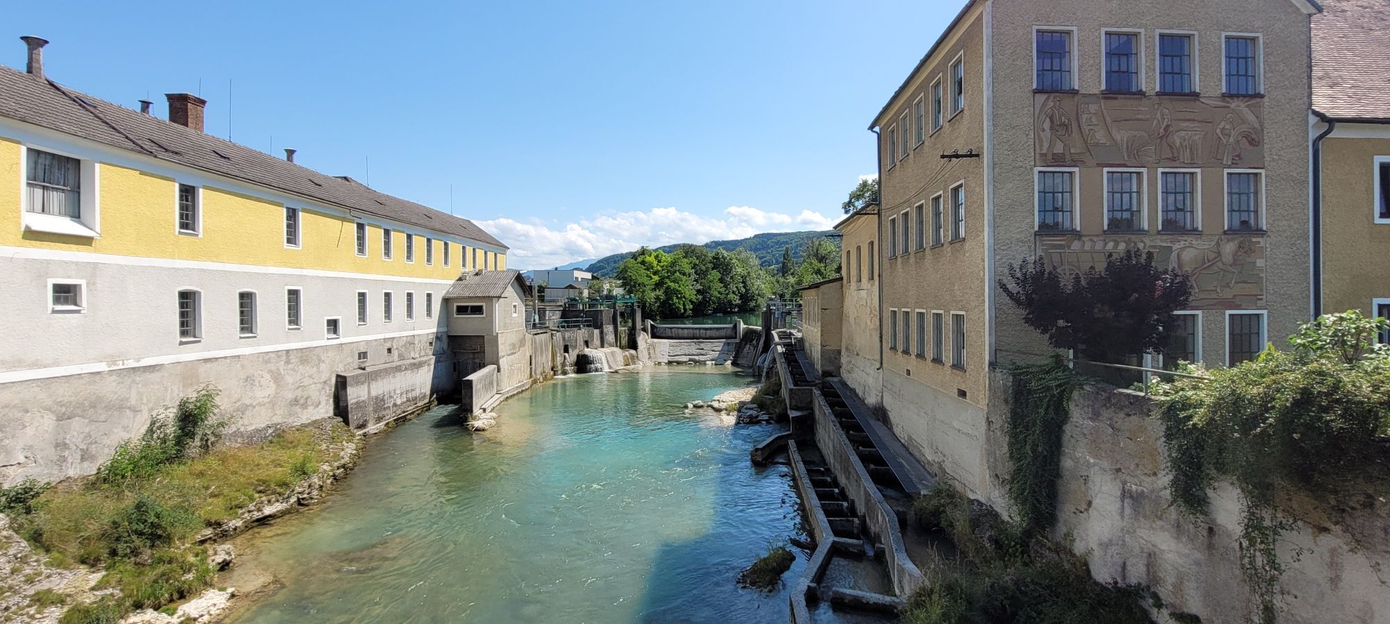
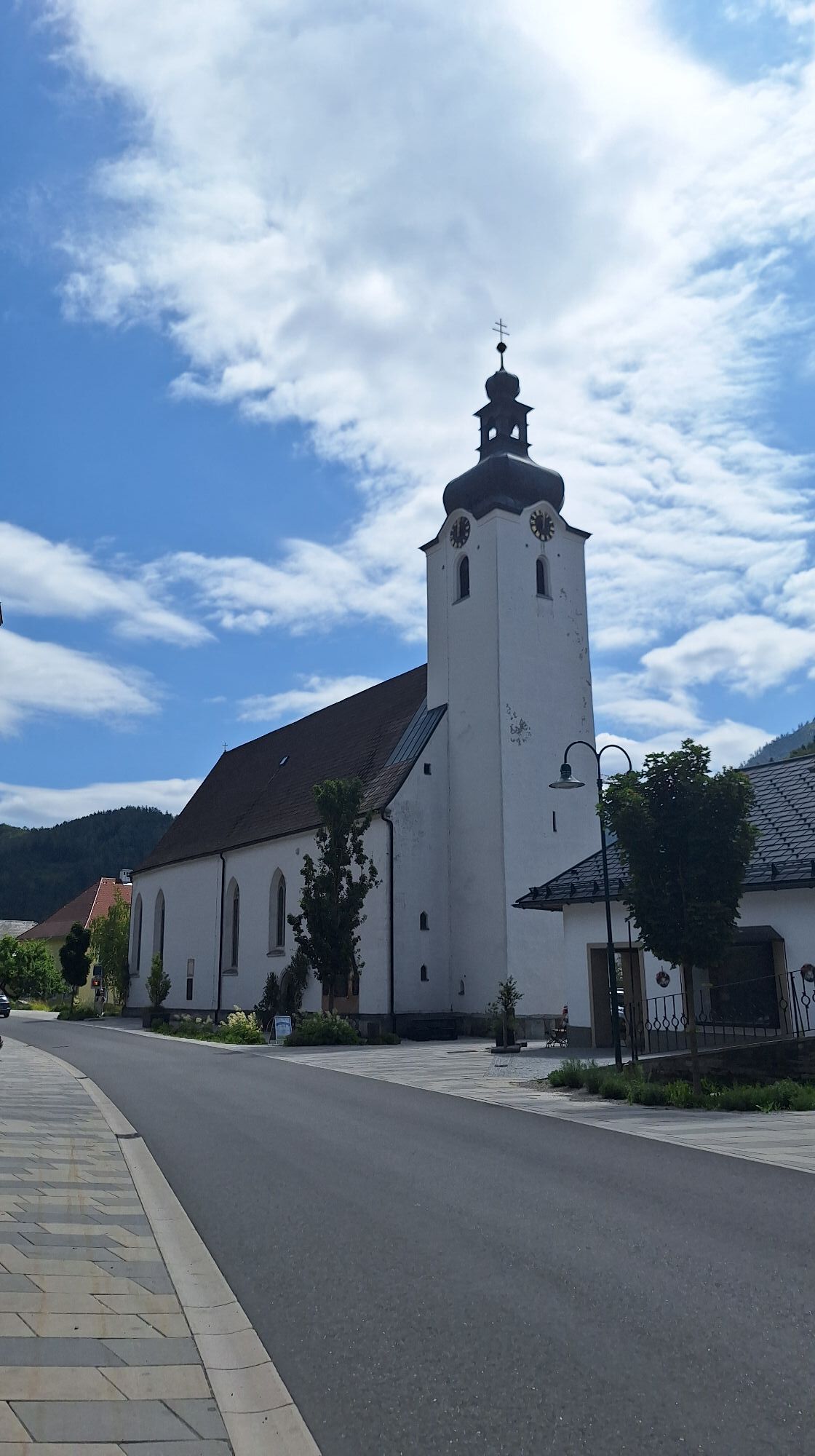
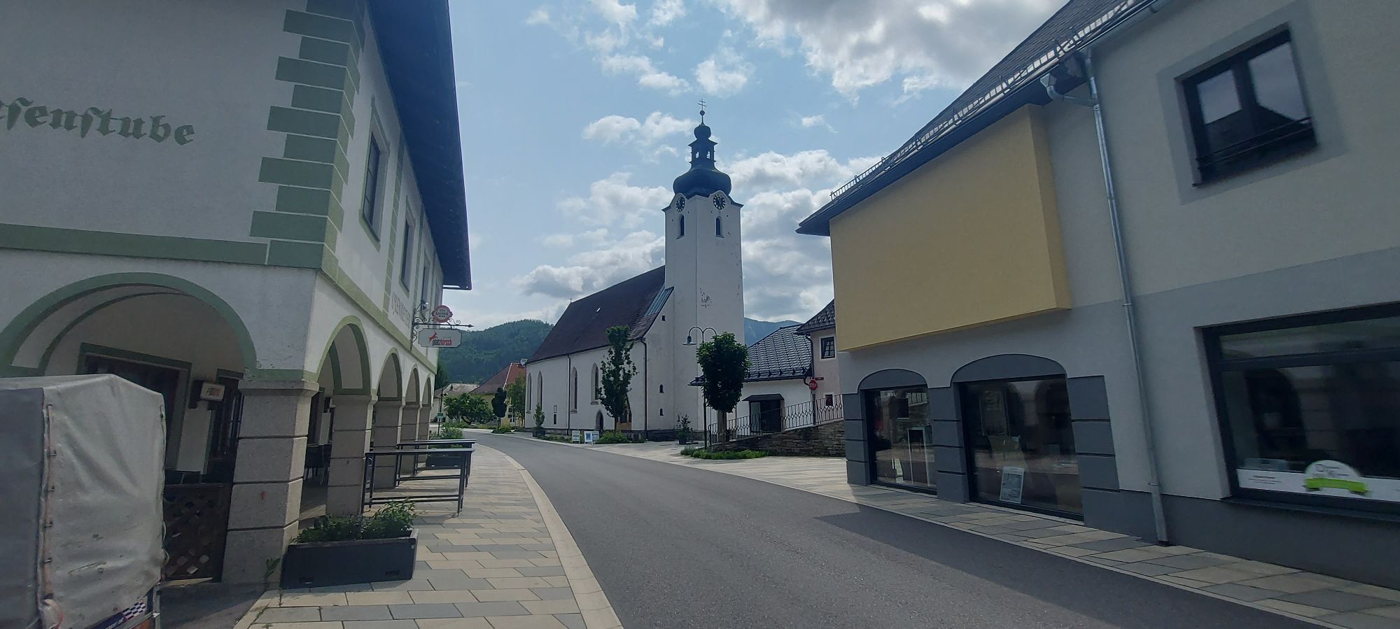
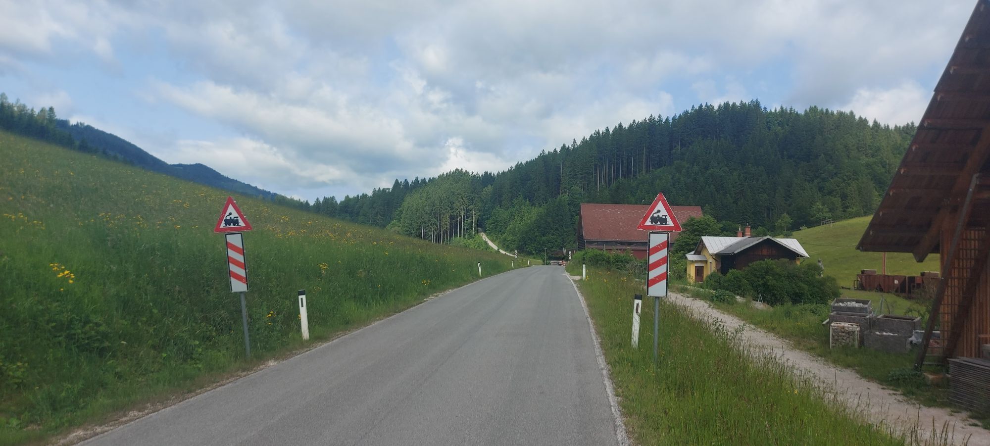
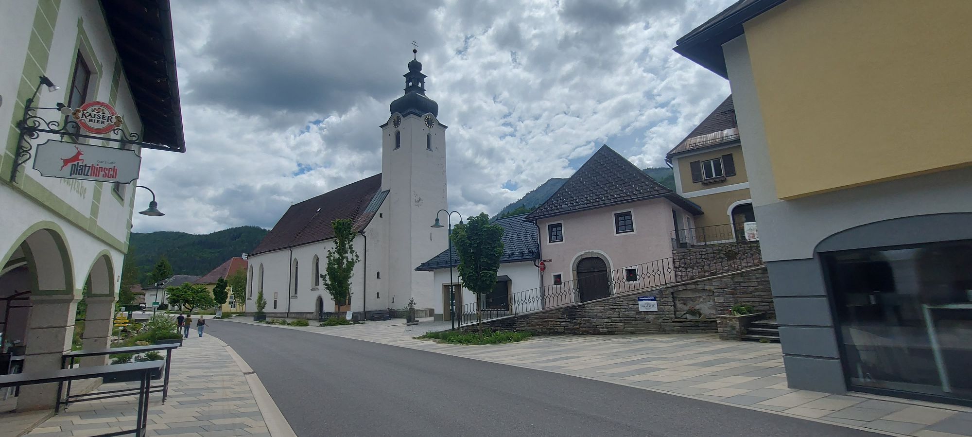
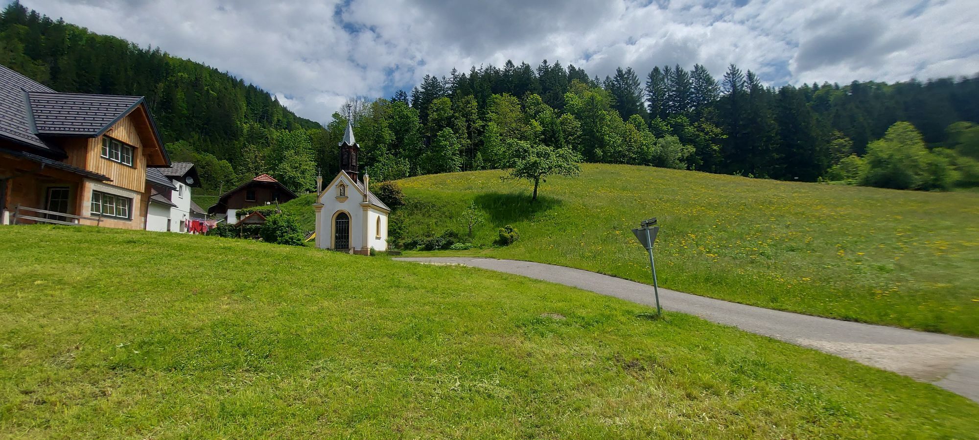
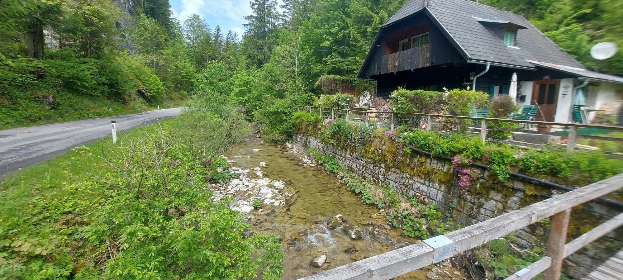
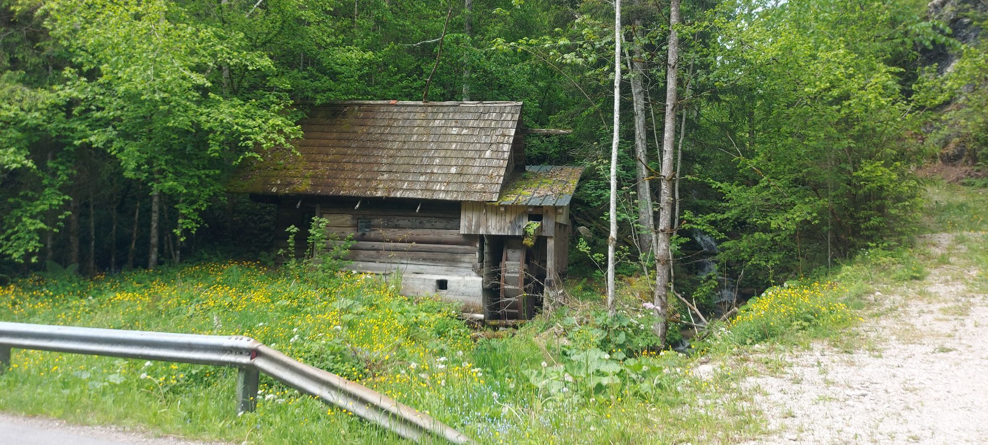
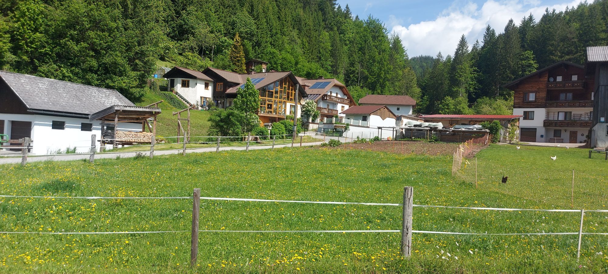
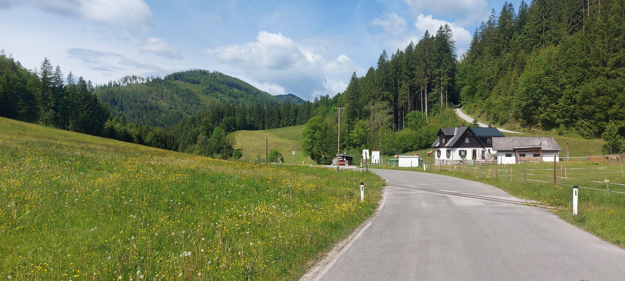
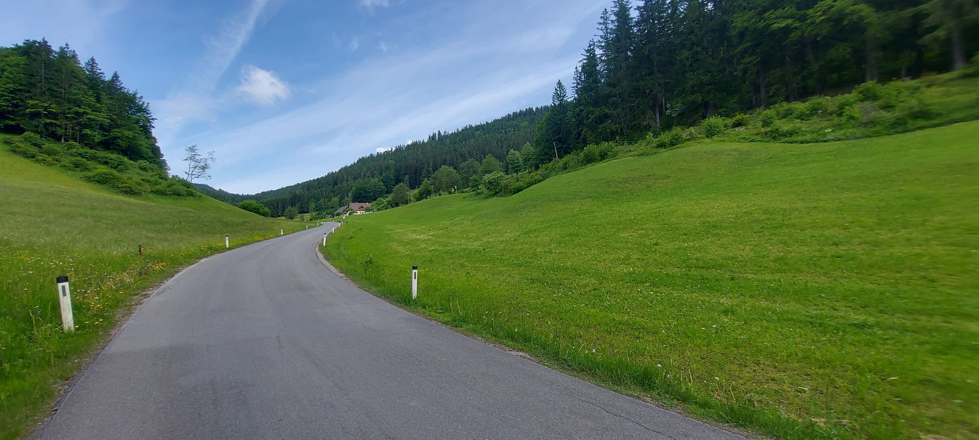
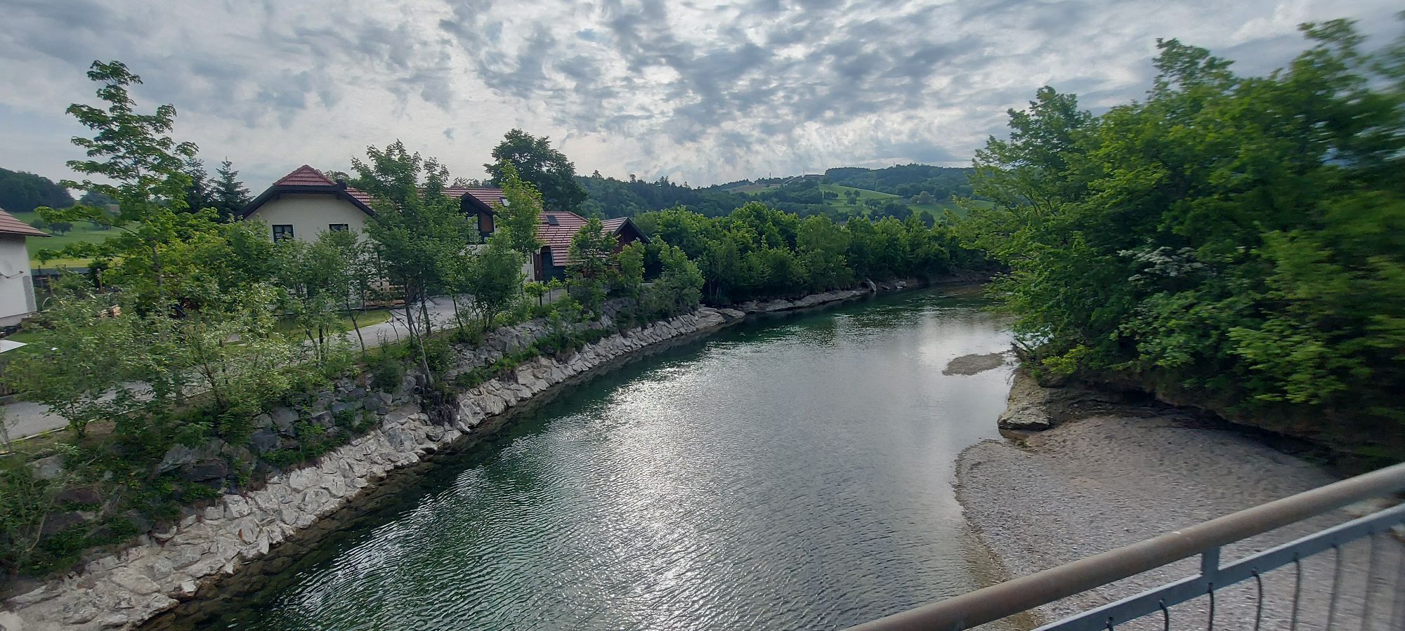
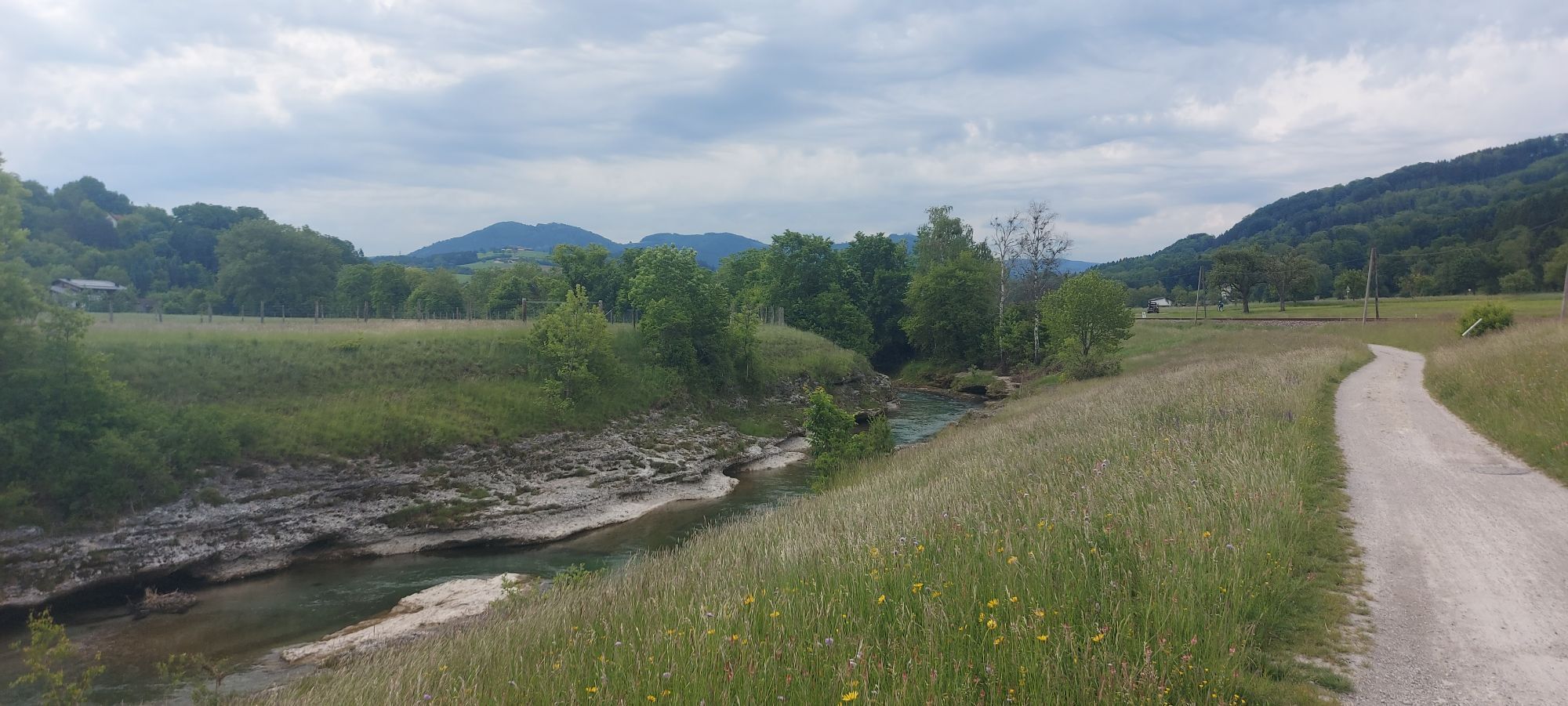
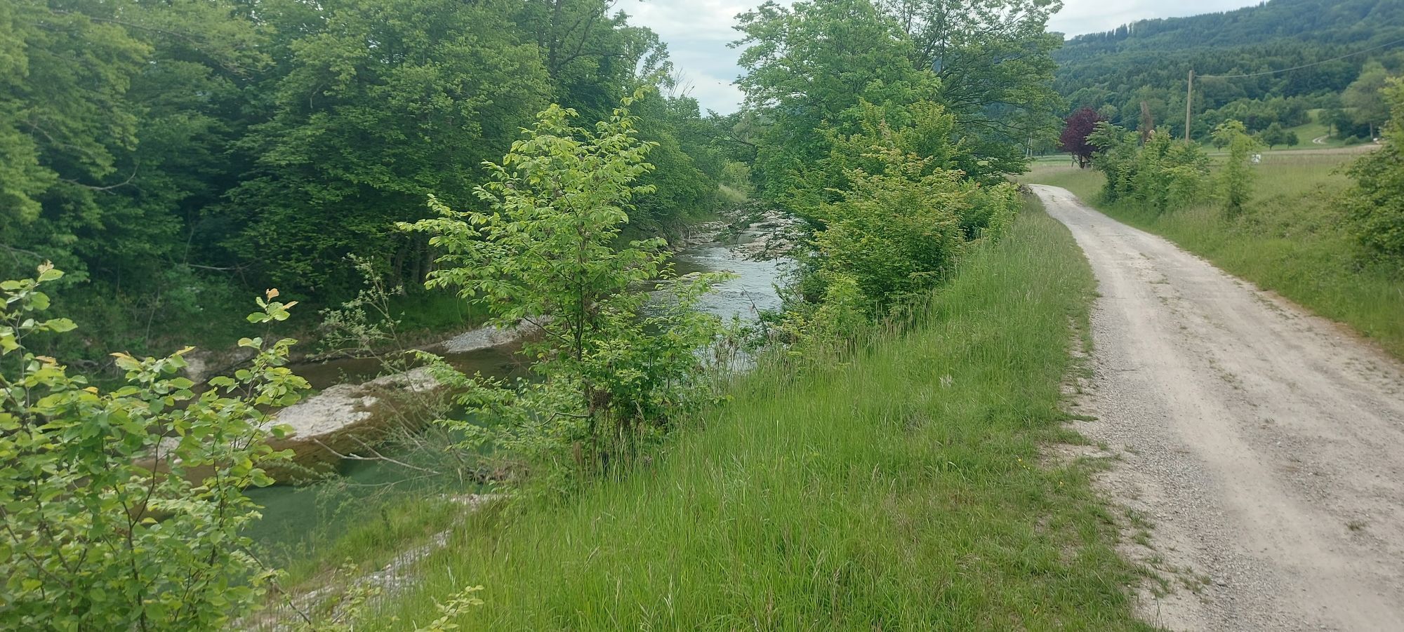
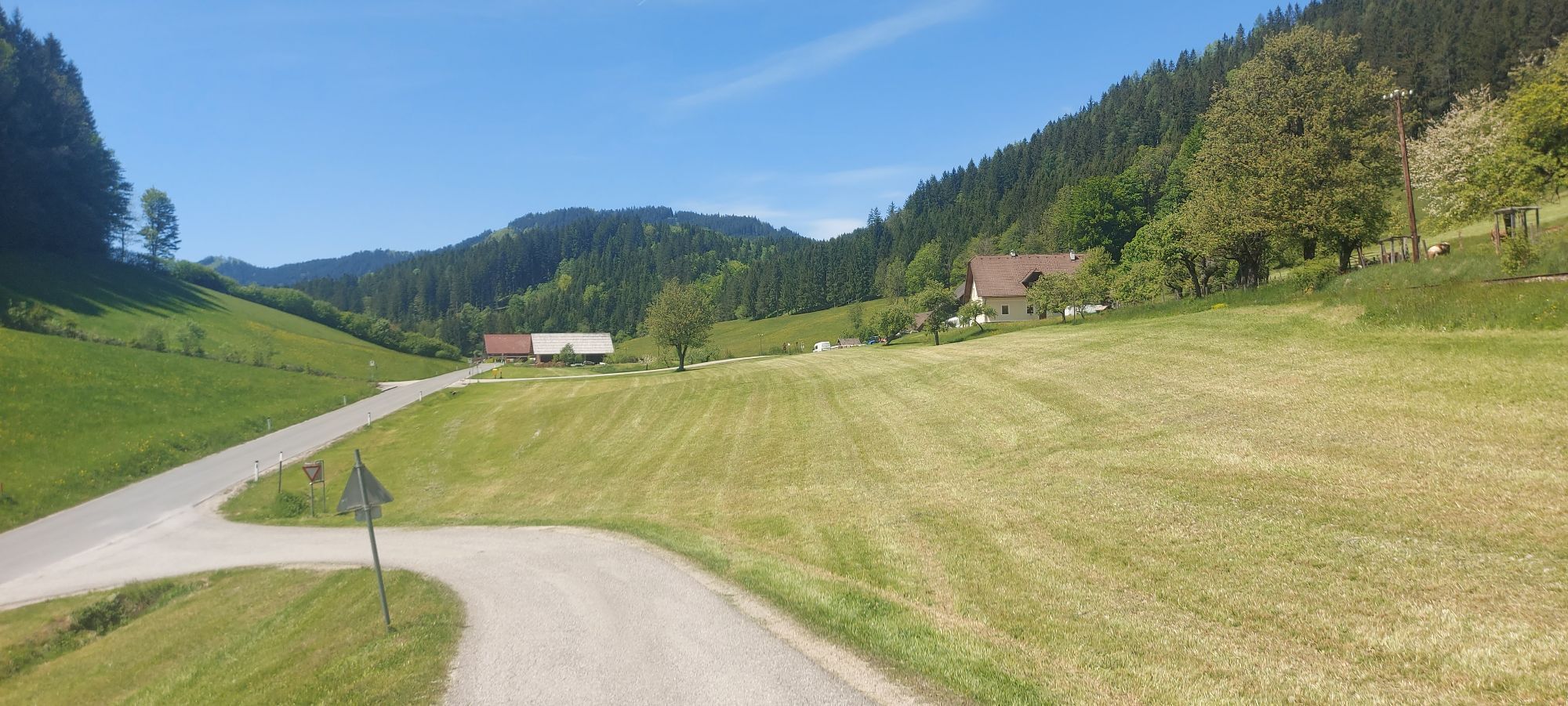

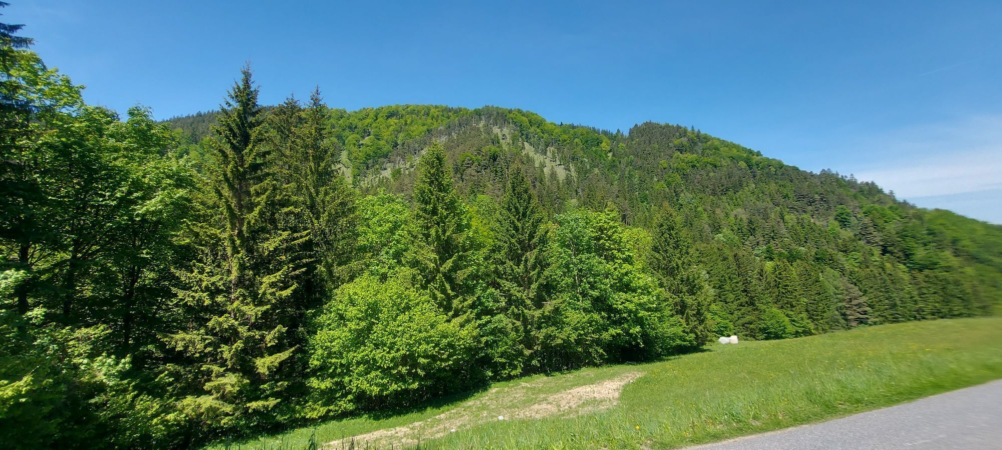
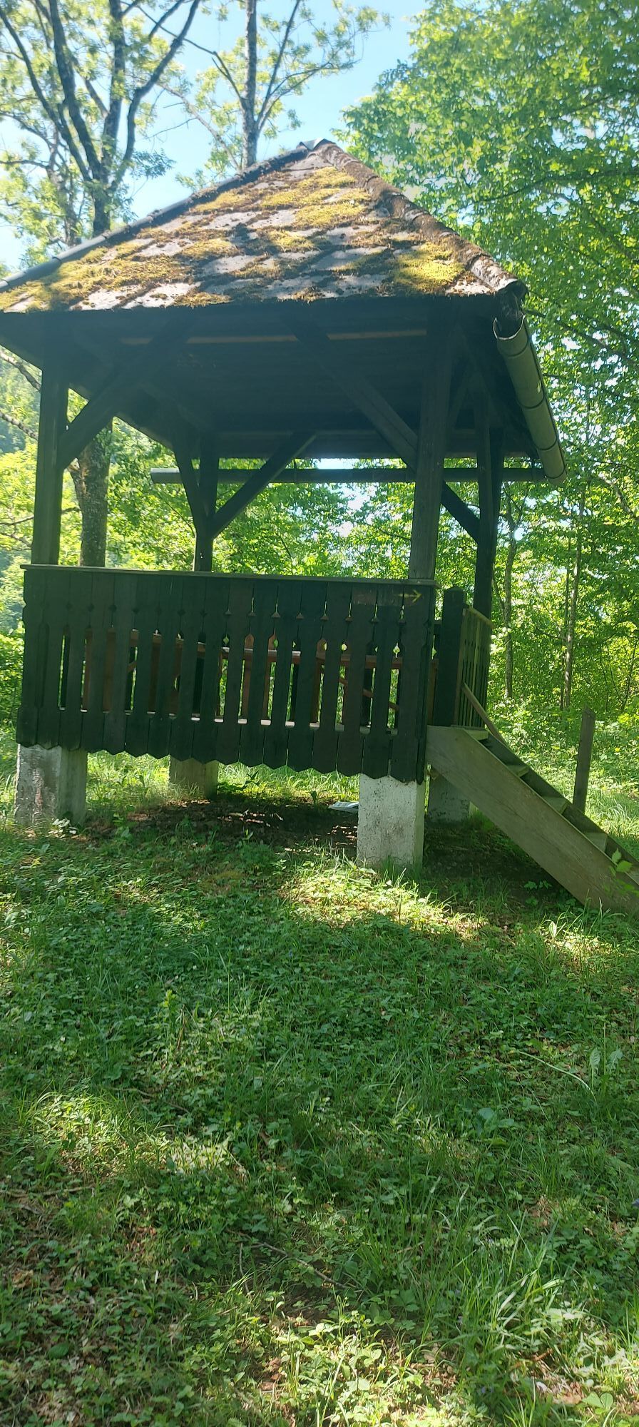
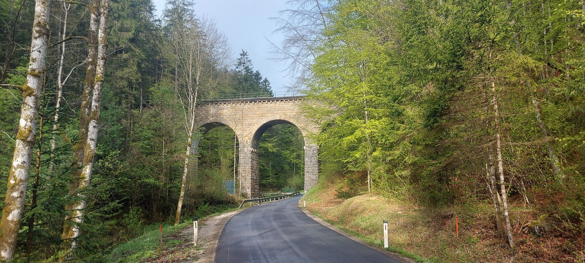
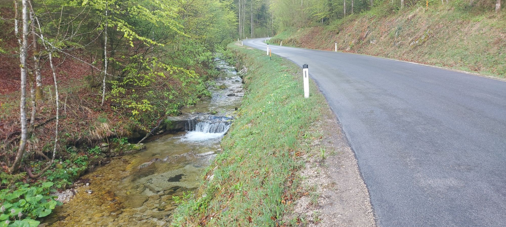
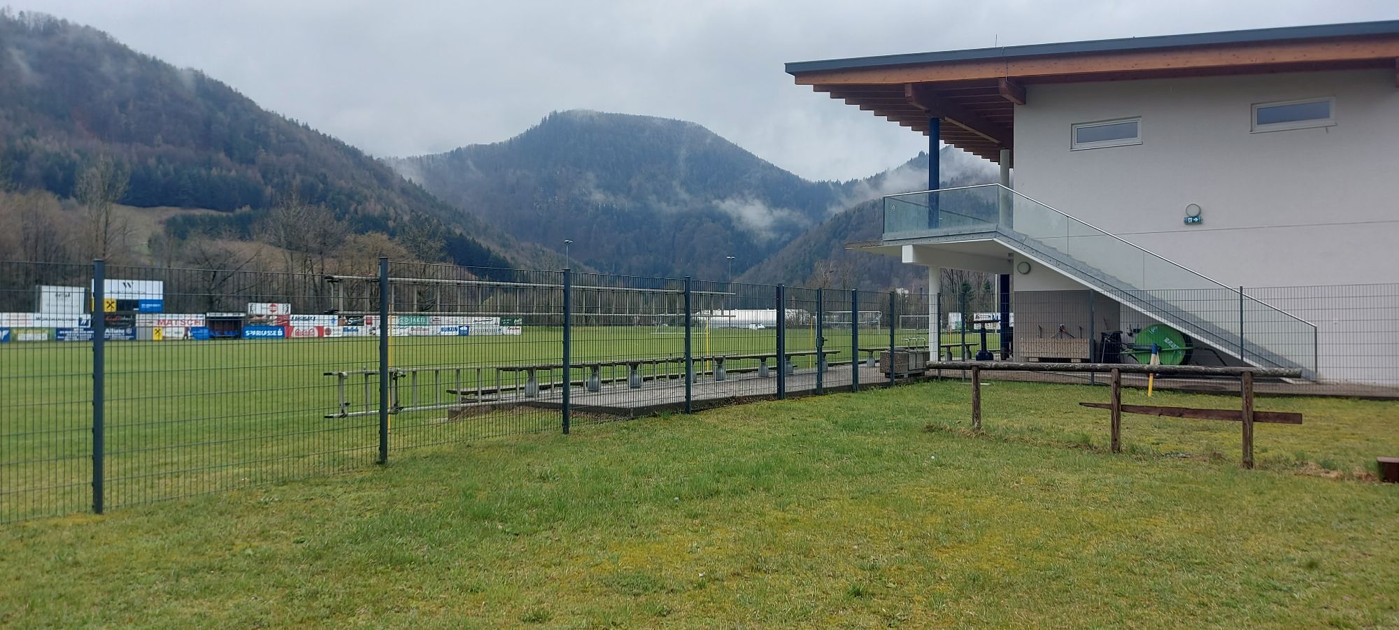
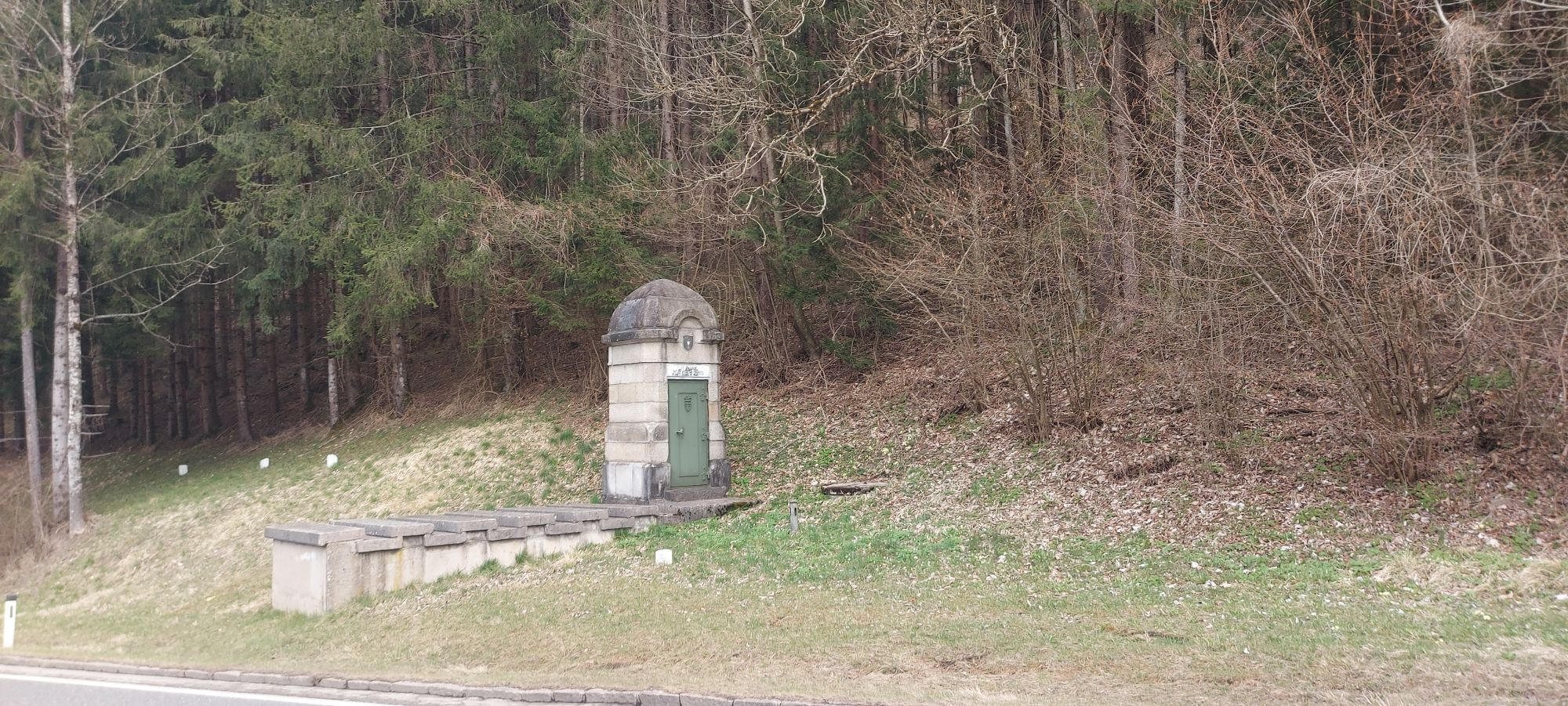
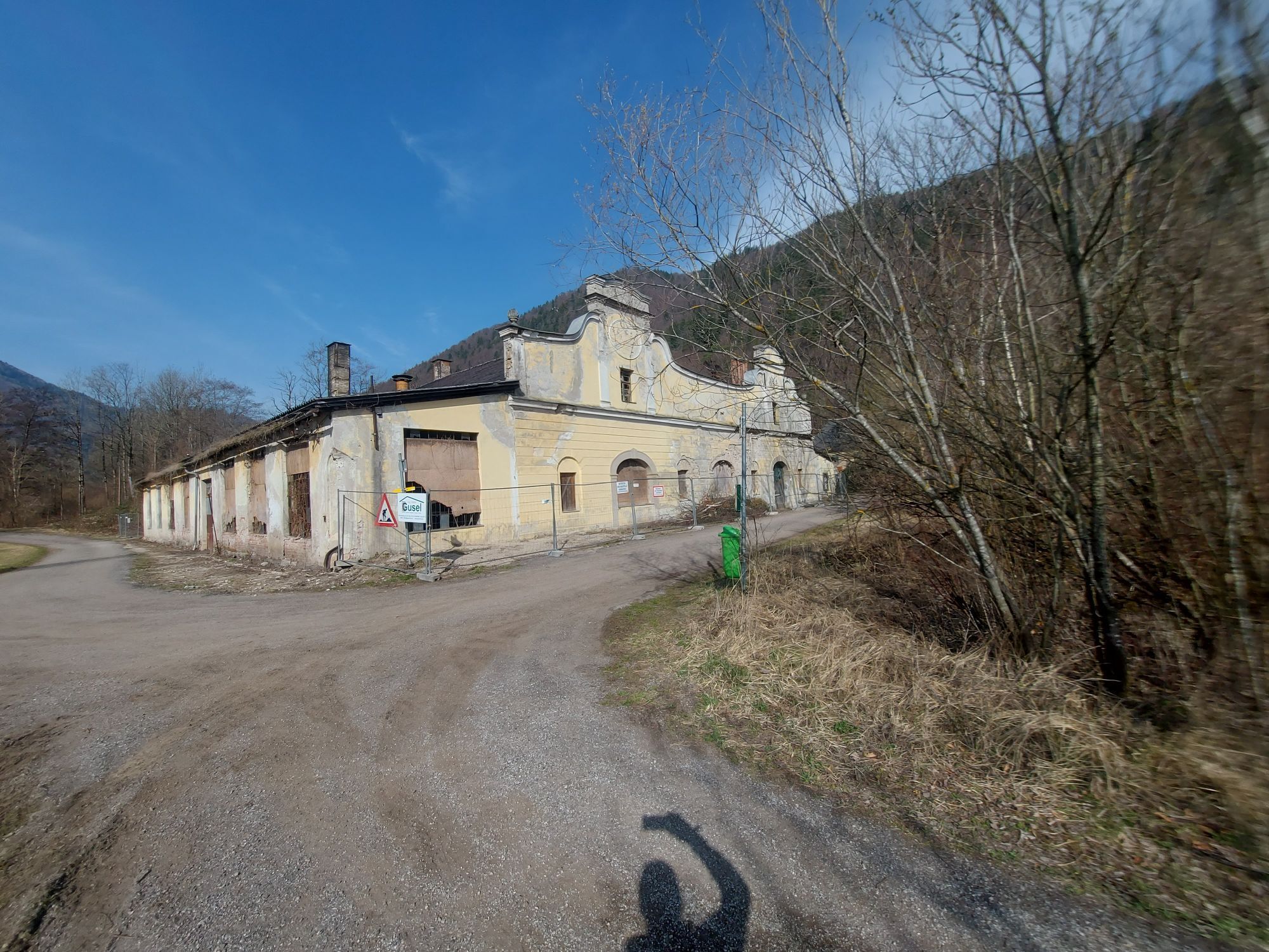
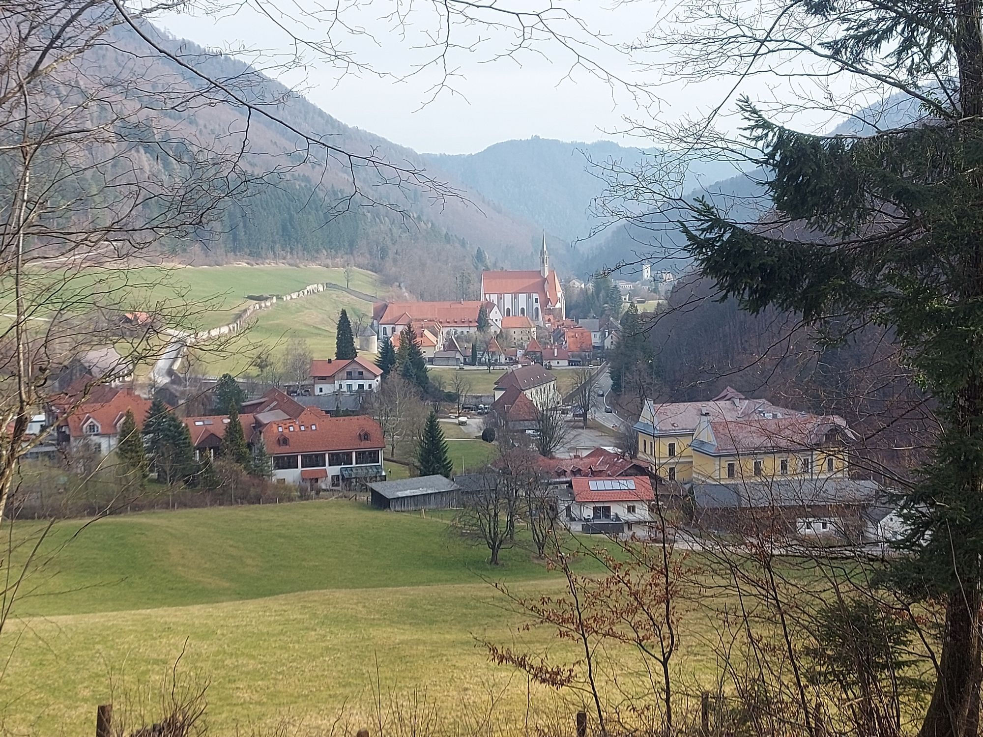
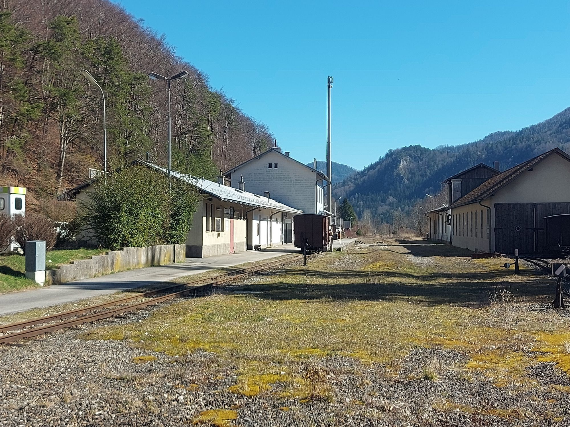
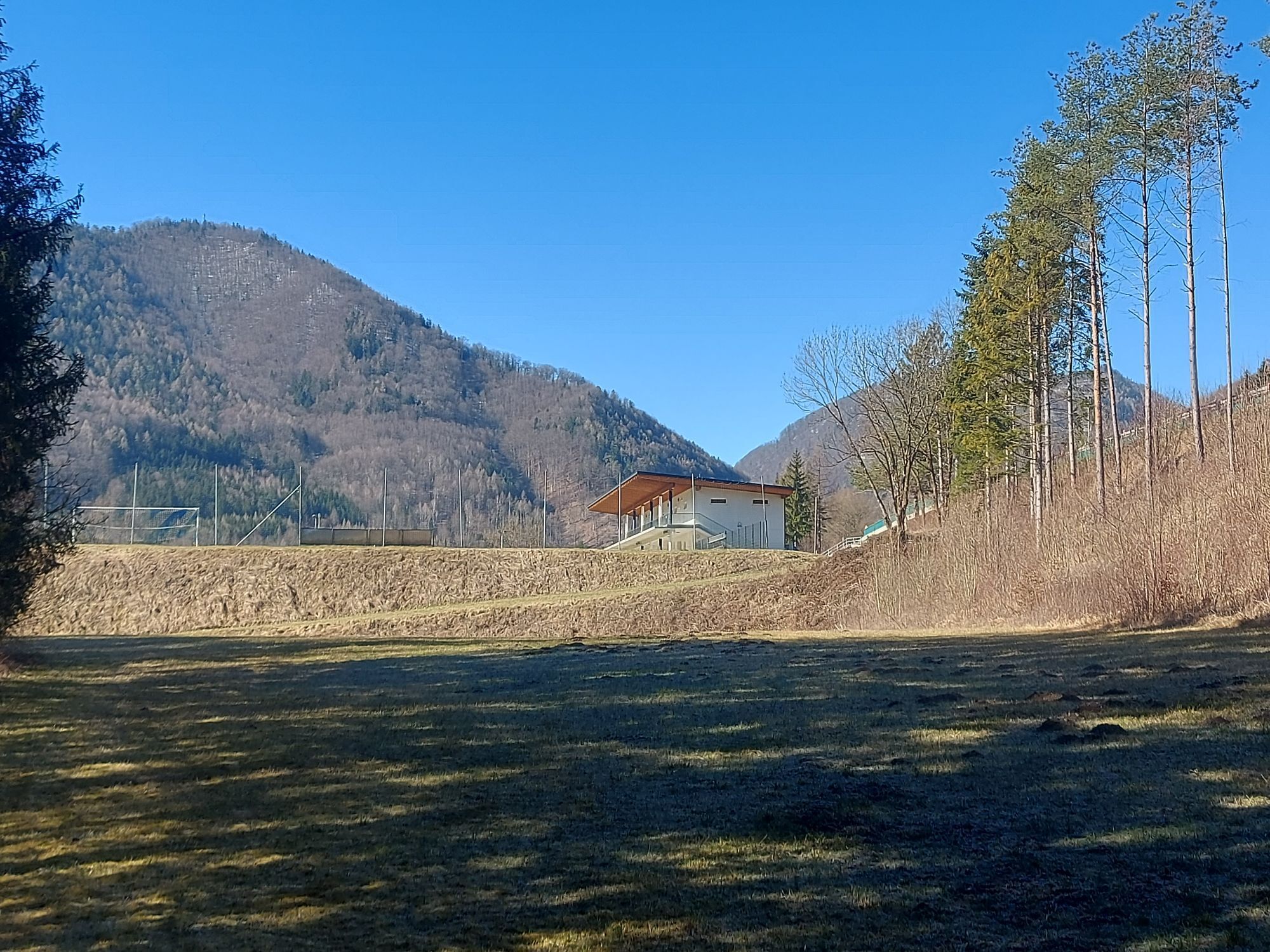
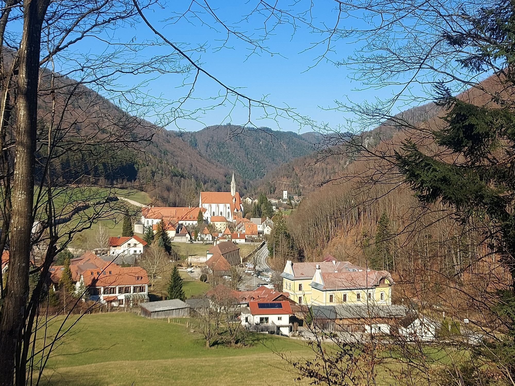
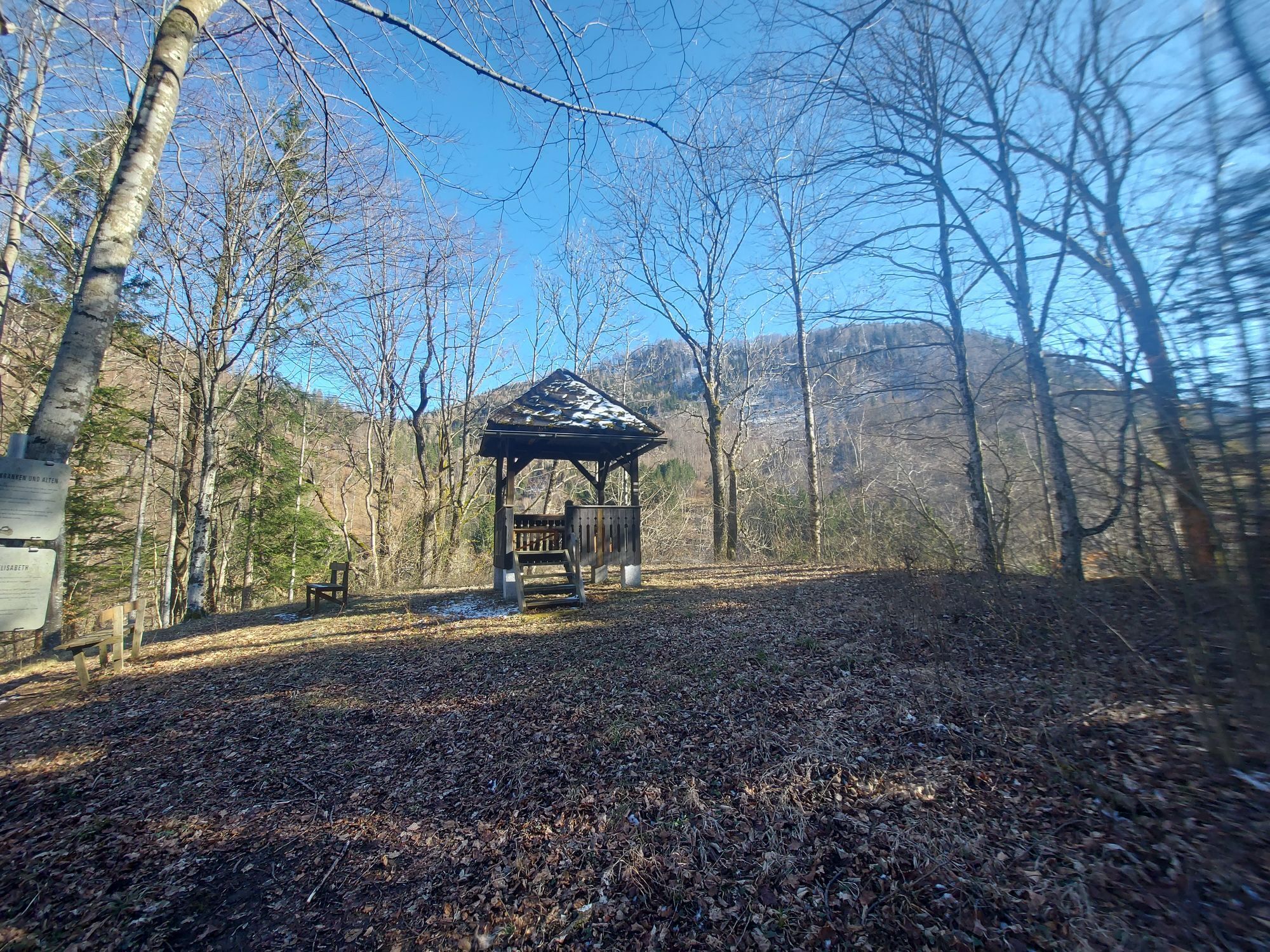
Those who want to experience river cycling in the Mostviertel are exactly right in the Erlauf Valley. Sometimes rushing, sometimes murmuring, and then resting in silence: cyclists experience the Große...
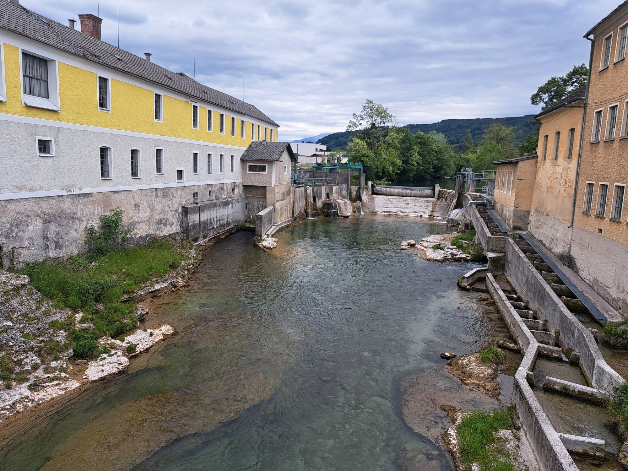
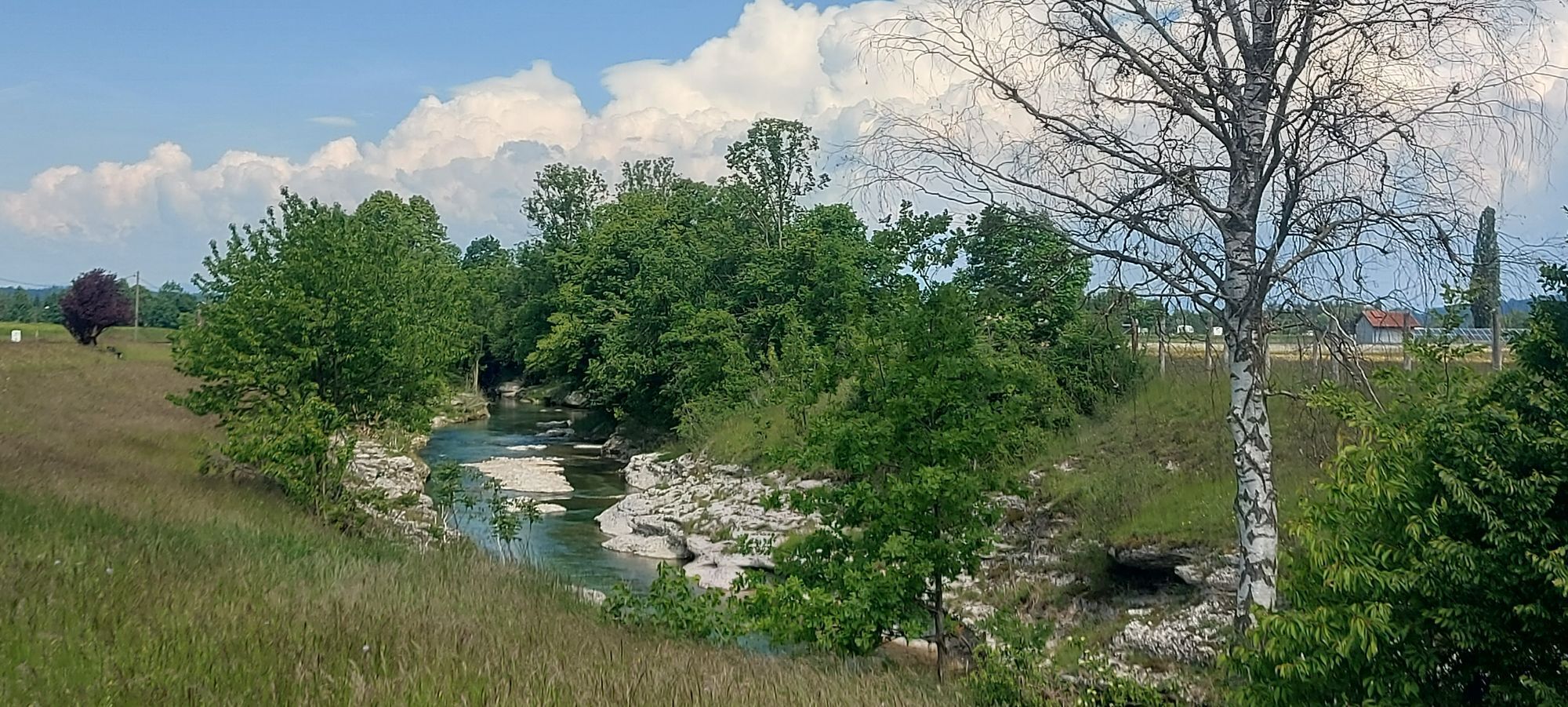
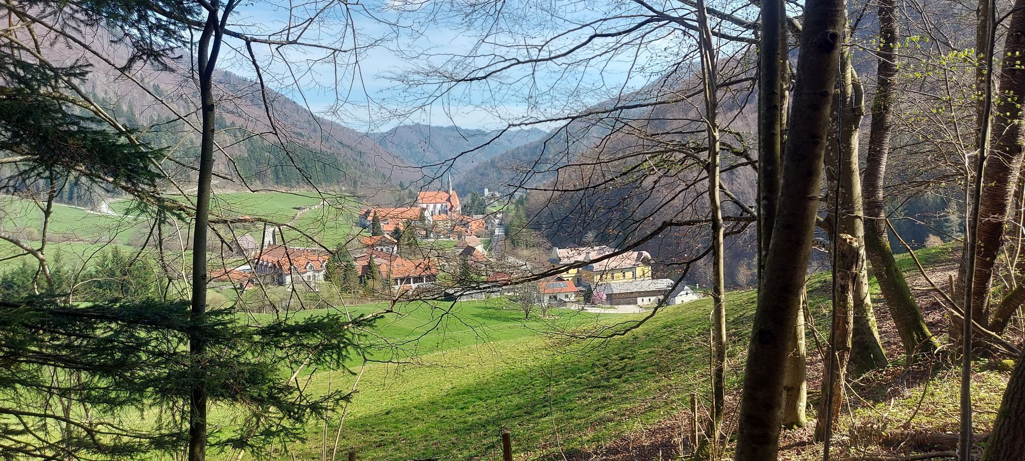
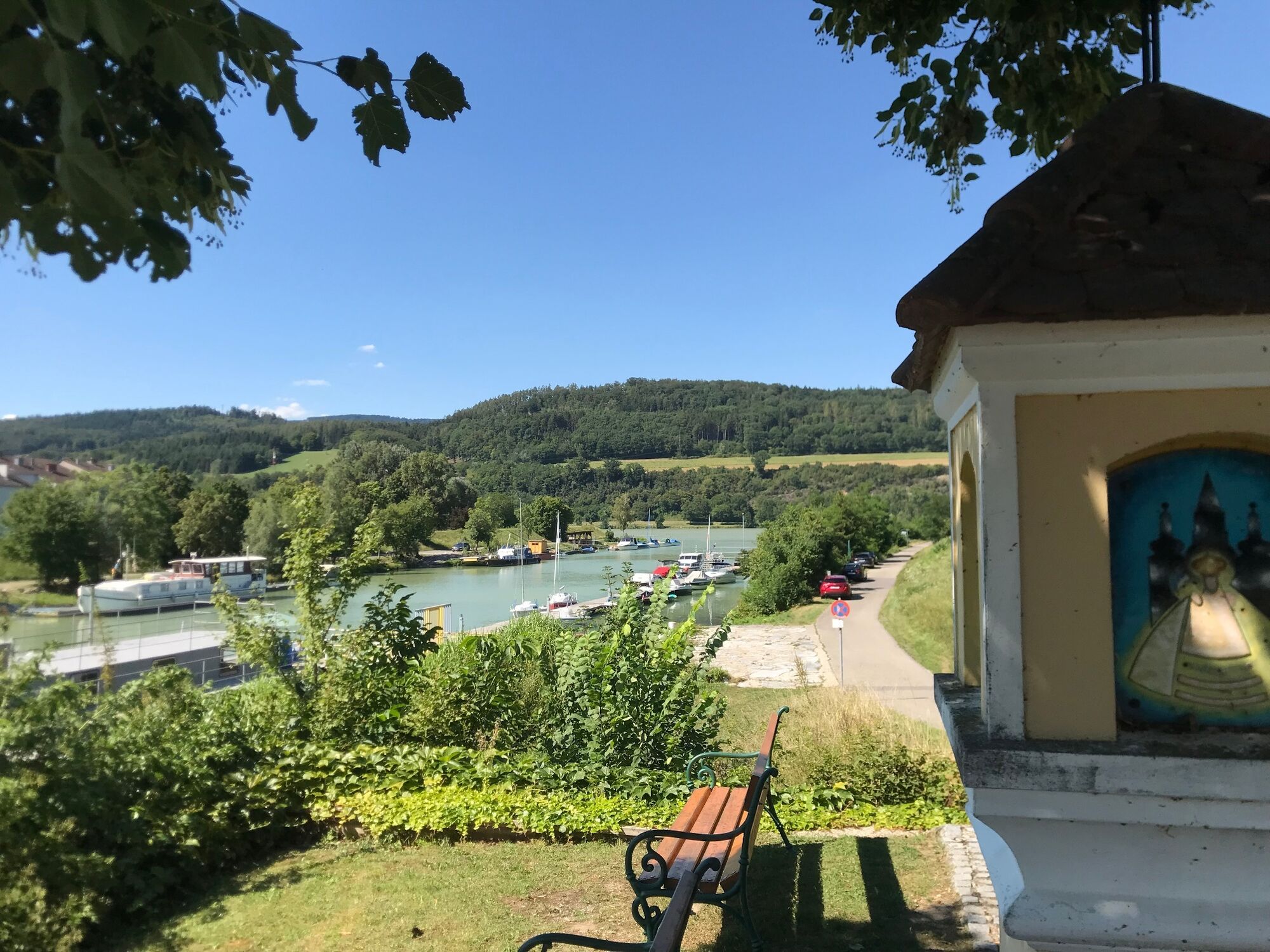
<p>Those who want to experience river cycling in the Mostviertel are exactly right in the Erlauf Valley. Sometimes rushing, sometimes murmuring, and then resting in silence: cyclists experience the Große Erlauf along the 60-kilometer-long Erlauf Valley Cycle Path. From Pöchlarn on the Danube, breathtaking views into the mountainous region await (the Ötscher mountain flashes up in the distance repeatedly), as well as impressive river landscapes (e.g. the Erlauf Gorge in Purgstall).</p><p>On short discovery rides in Wieselburg, Purgstall, or Scheibbs, you'll get to know Brettljause, cider, and Scheibbser Kugeln. There are plenty of cozy stops along the route. In Gaming, at the famous Charterhouse, the flat part of the Erlauf Valley Cycle Path ends. The sporty and ambitious take on the mountain stage via Pfaffenschlag to Lunz am See. Families and leisure cyclists find the connection to the Ybbstalradweg at Lake Lunz.</p>

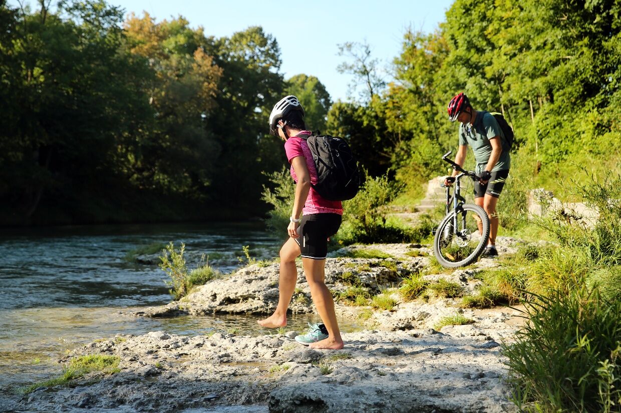
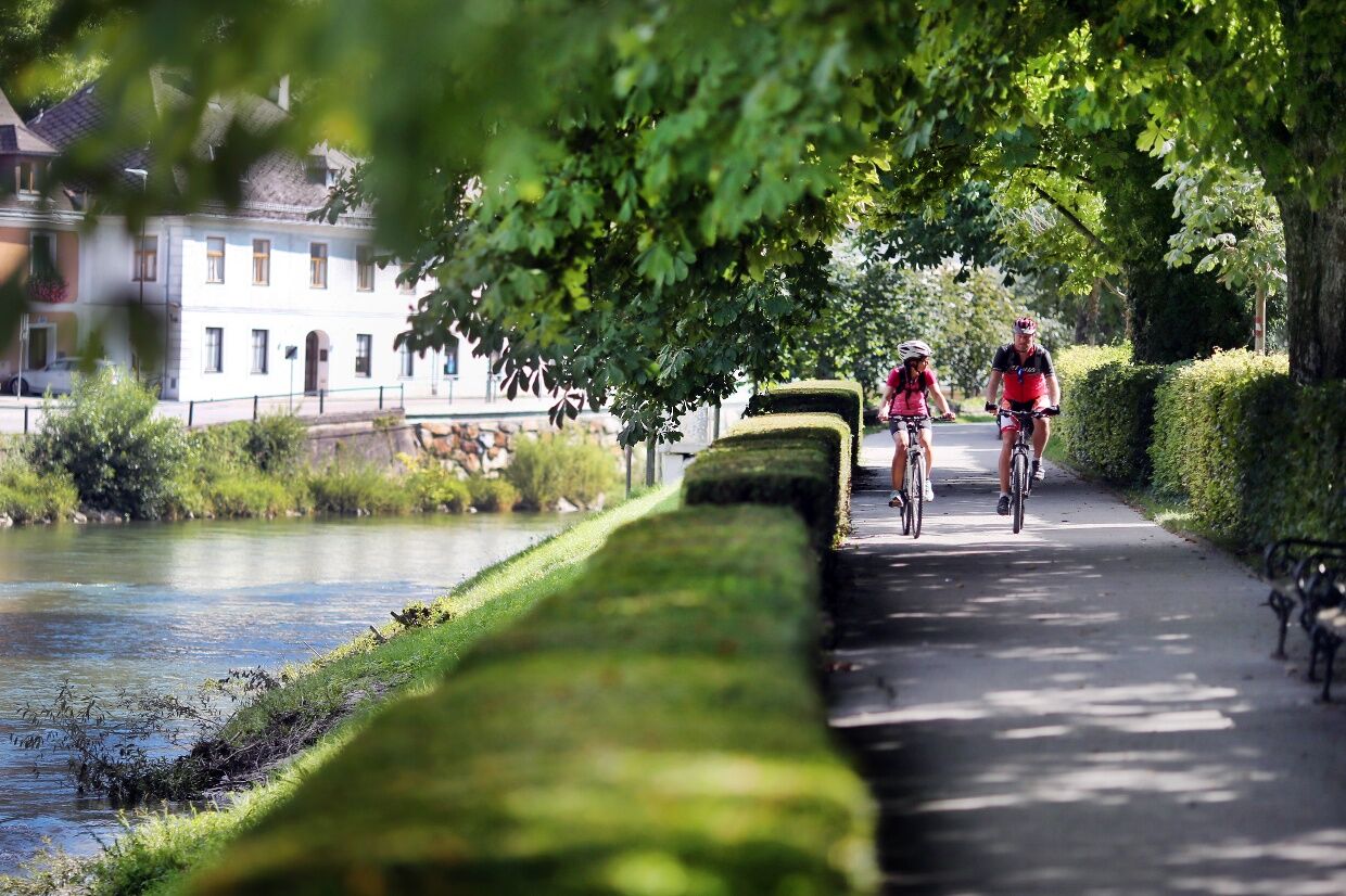
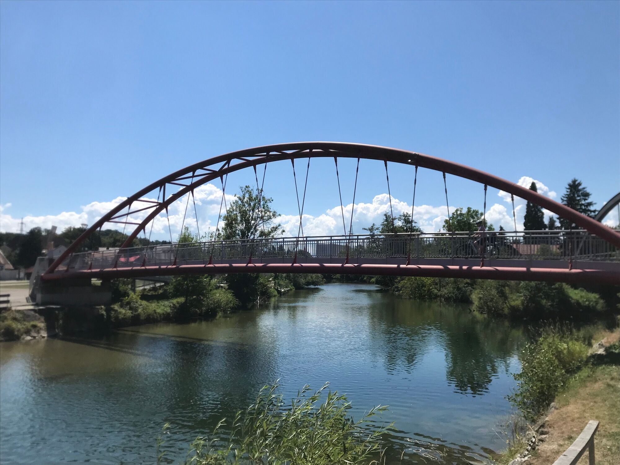

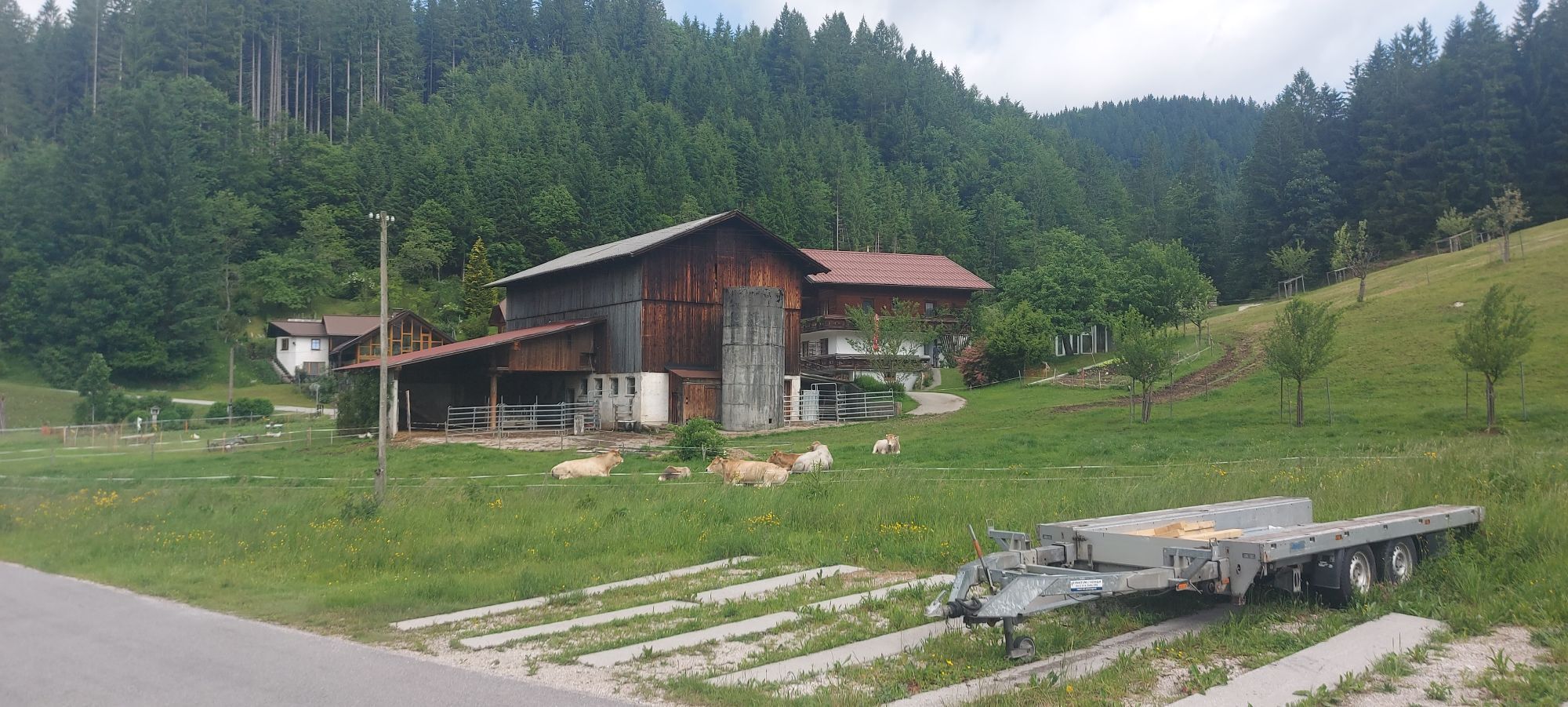
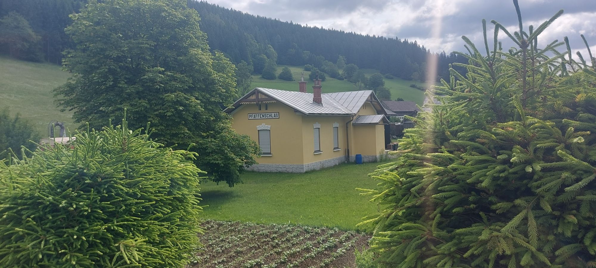
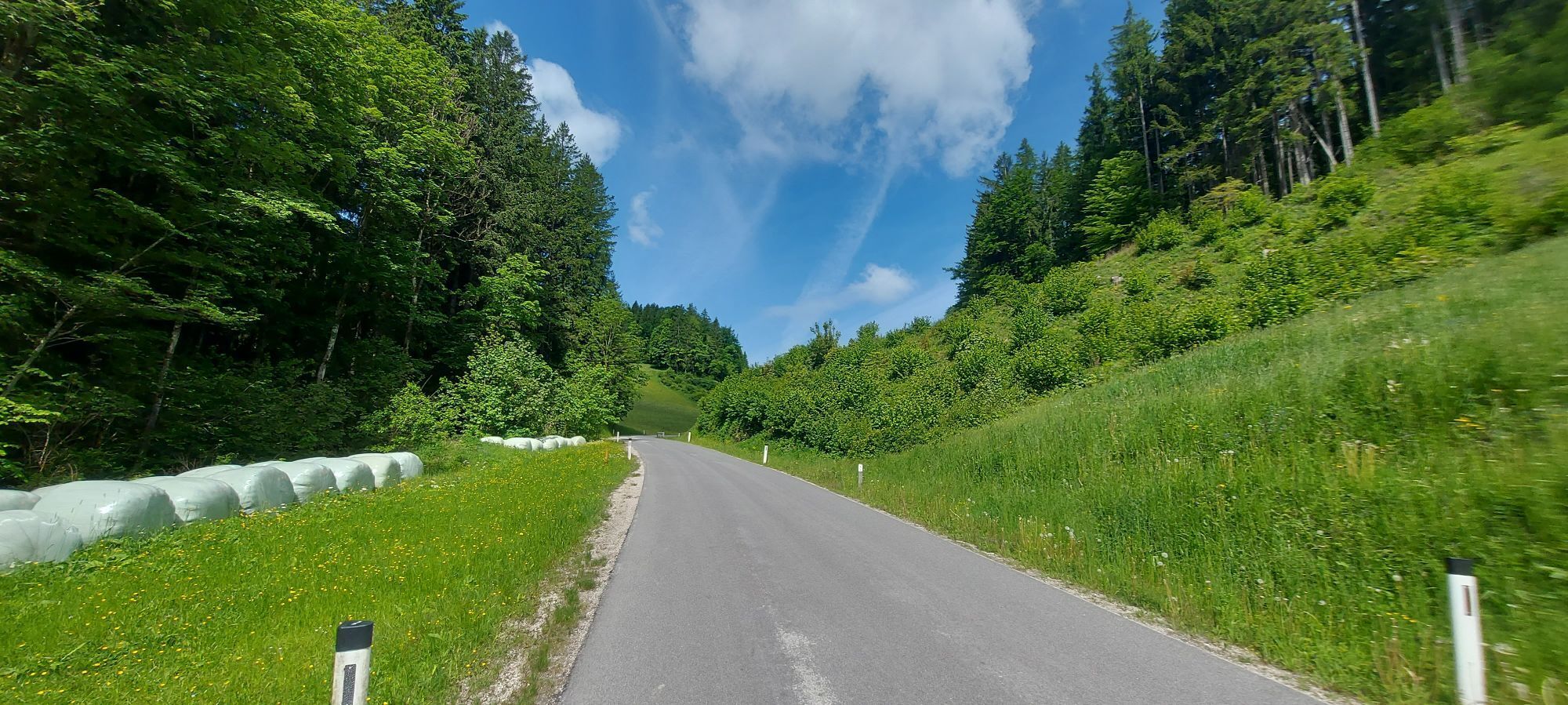
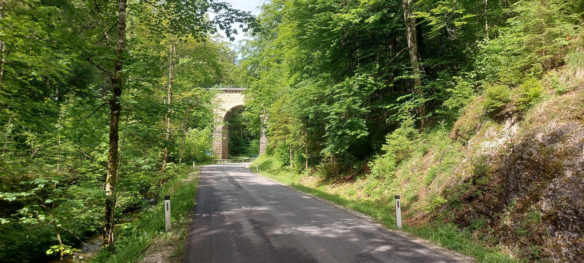
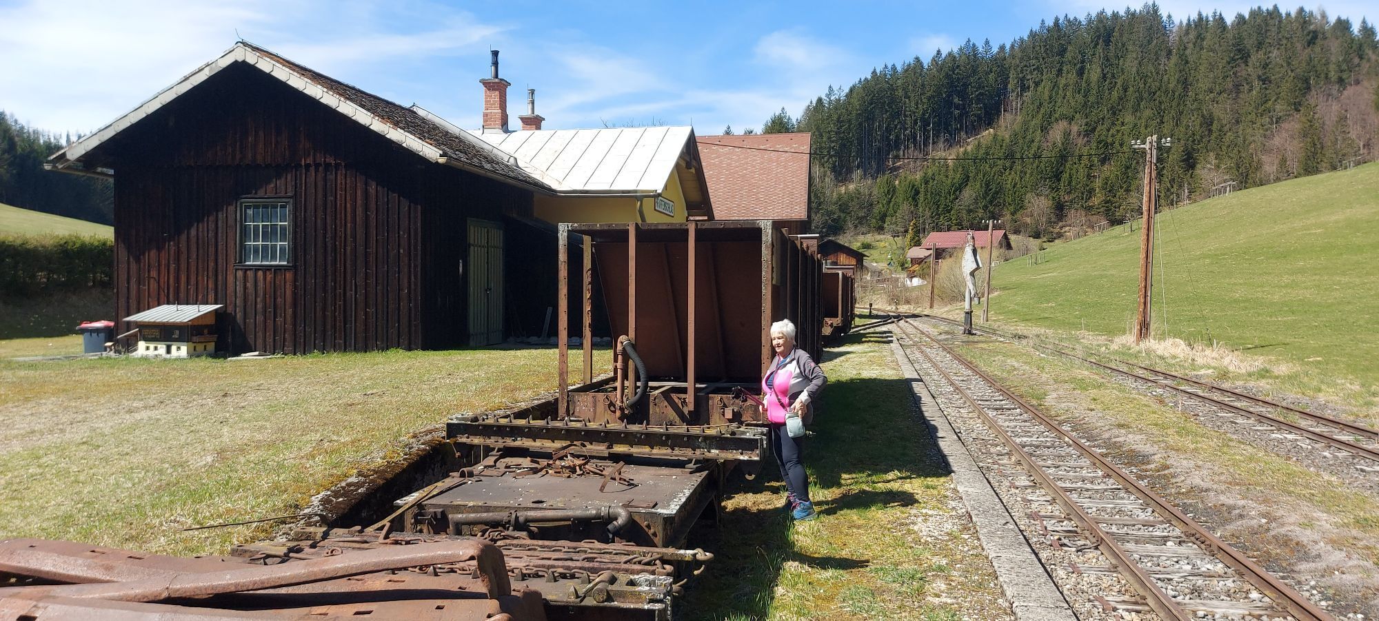
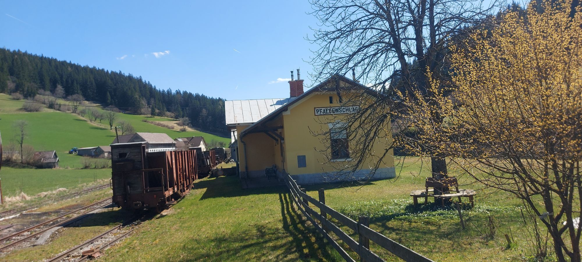
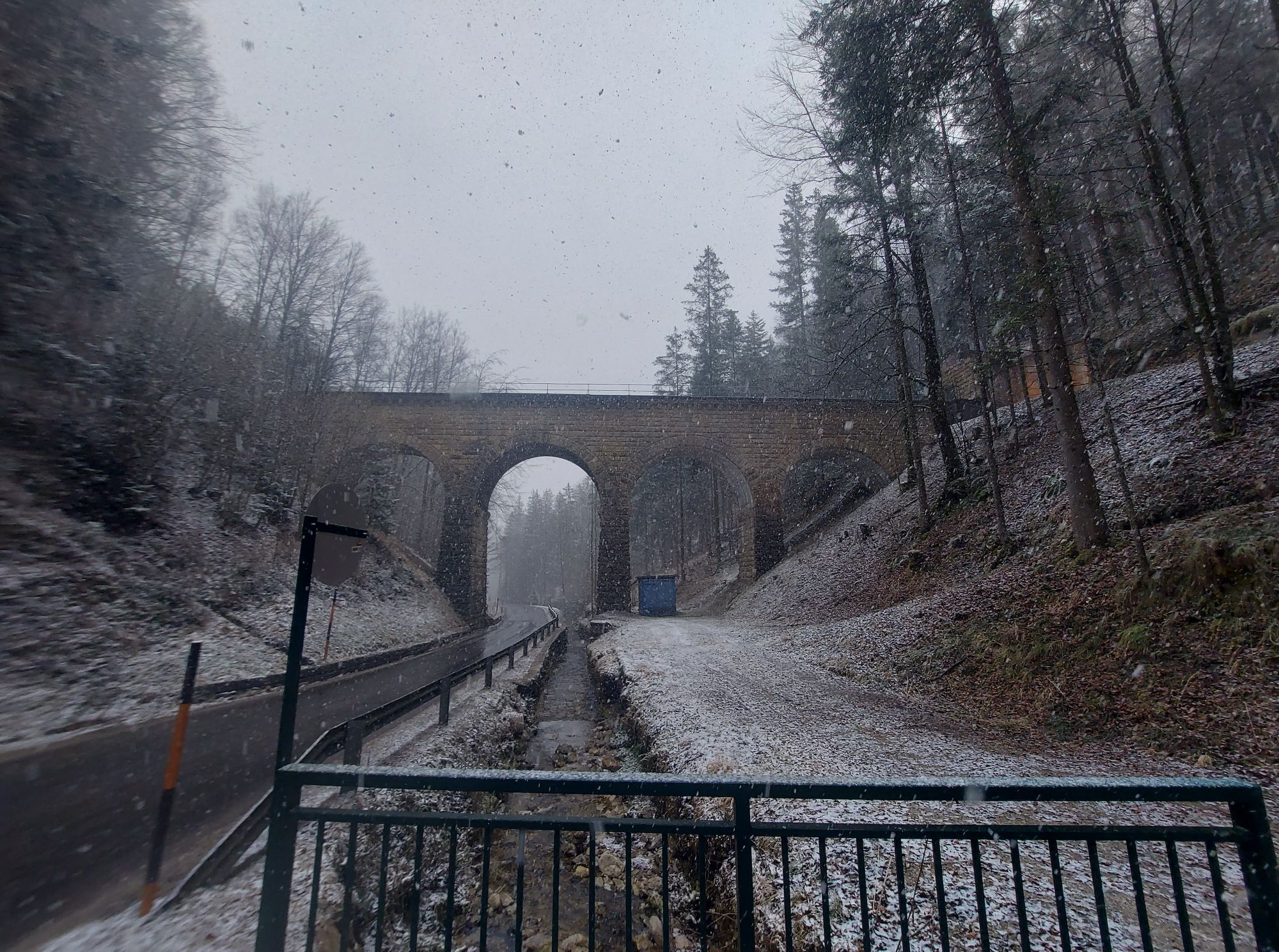
<p>The Erlauf Valley Cycle Path starts directly at the Danube Cycle Path at the Erlauf confluence; a short climb must be overcome before Erlauf; on the southern exit, the cycle route still stays close to the river course before moving away from it in the municipal area of Bergland; continues to Wieselburg; from Bodensdorf the cycle route runs 8 kilometers flat at a higher level on moderately trafficked state road, with some curves through several rural villages to Purgstall; the following 7 kilometers to Scheibbs remain flat with cycle path quality and a water-bound gravel surface; this section is counted among the most beautiful of the Erlauf Valley Cycle Path; among the most beautiful places of the cycling tour is the center of the district town Scheibbs; afterwards, the route runs about 2 kilometers on a side road through two towns before heading from Miesenbach (St. Anton) as a cycle path parallel to the federal road with two crossings, continuing flat towards Kienberg; after Kienberg, mixed traffic is required, initially about 2.5 kilometers on the federal road to the center of Gaming; Gaming is the end of the family variant of the Erlauf Valley Cycle Path, as the climbs now begin, continuously on state and federal road sections; 2 kilometers after Gaming (431 meters), the route branches off onto an idyllic state road section; shortly after, the first shorter ascent starts, followed by a short descent and then the 2-kilometer-long climb to Pfaffenschlag with a slope between 8 and 10 percent; parallel to the route, the Ötscherland Express still runs today on special occasions between Gaming and Lunz am See; the train also manages this altitude difference but with a leveled track profile; after a break at the Pfaffenschlag saddle (695 meters), surrounded by rural farms of the eastern Alpine foothills, the cycle route continues on a moderately trafficked road downhill to Lunz am See, where the Erlauf Valley Cycle Path joins the Ybbstalradweg.</p>
<p>Connection from Gaming to the Pfaffenschlag junction 2 km on federal road</p>
<p>Via the West Motorway A1; exit Pöchlarn</p>
<p>Via the Western Railway line to Pöchlarn;</p><p>Option for further train travel to Scheibbs</p>
Verantwortlicher für den Inhalt dieser Tour
Mostviertel
Letzte Aktualisierung: 19.11.2025
The Small Erlauf Valley Cycle Path connects to the Erlauf Valley Cycle Path in Wieselburg and Gaming, enabling a great cycling route!
As a multi-day route: In Lunz am See, join the Ybbstalradweg and cycle down the Ybbs river towards the Danube.
Obtenez un aperçu
Toujours en direct avec plus de 9.500 webcams. En tant qu'utilisateur Pro, vous pouvez désormais voir les webcams correspondantes à de nombreuses randonnées dans l'application de randonnées de bergfex. Vous pouvez ainsi voir directement les conditions actuelles.
Parcours populaires à proximité
-
4,7
Trefflingfall über Hochbärneckhütte
moyenRandonnée 12,2 km -
4,5
Gföhler Alm - Rainstock - Schleierfall
moyenRandonnée 13,6 km -
4,5
Purgstall Route 3 entlang der Erlauf und Umgebung
facileRandonnée 12,5 km -
4,8
Erlaufschlucht
facileCanyoning 4,58 km -
3,7
Auf den Blassenstein
facileRandonnée 8,30 km -
4,4
Kappleralm Runde
facileRandonnée 6,65 km -
4,6
Hochbärneckrunde
moyenRandonnée 10,1 km -
3,7
GeBIERgsweg Gaming
facileRandonnée 6,51 km -
4,1
Blassenstein - Greinberg - Jelinekwarte
moyenRandonnée 11,5 km -
4,9
Reidlingberg - Gruber Kreuz - Hochkogel
facileRandonnée 10,0 km
Randonnée et suivi


Ne manquez pas les offres et l'inspiration pour vos prochaines vacances
Votre adresse électronique a été ajouté à la liste de diffusion.





