






Grenzlandroute - E-Bike
Photos de nos utilisateurs
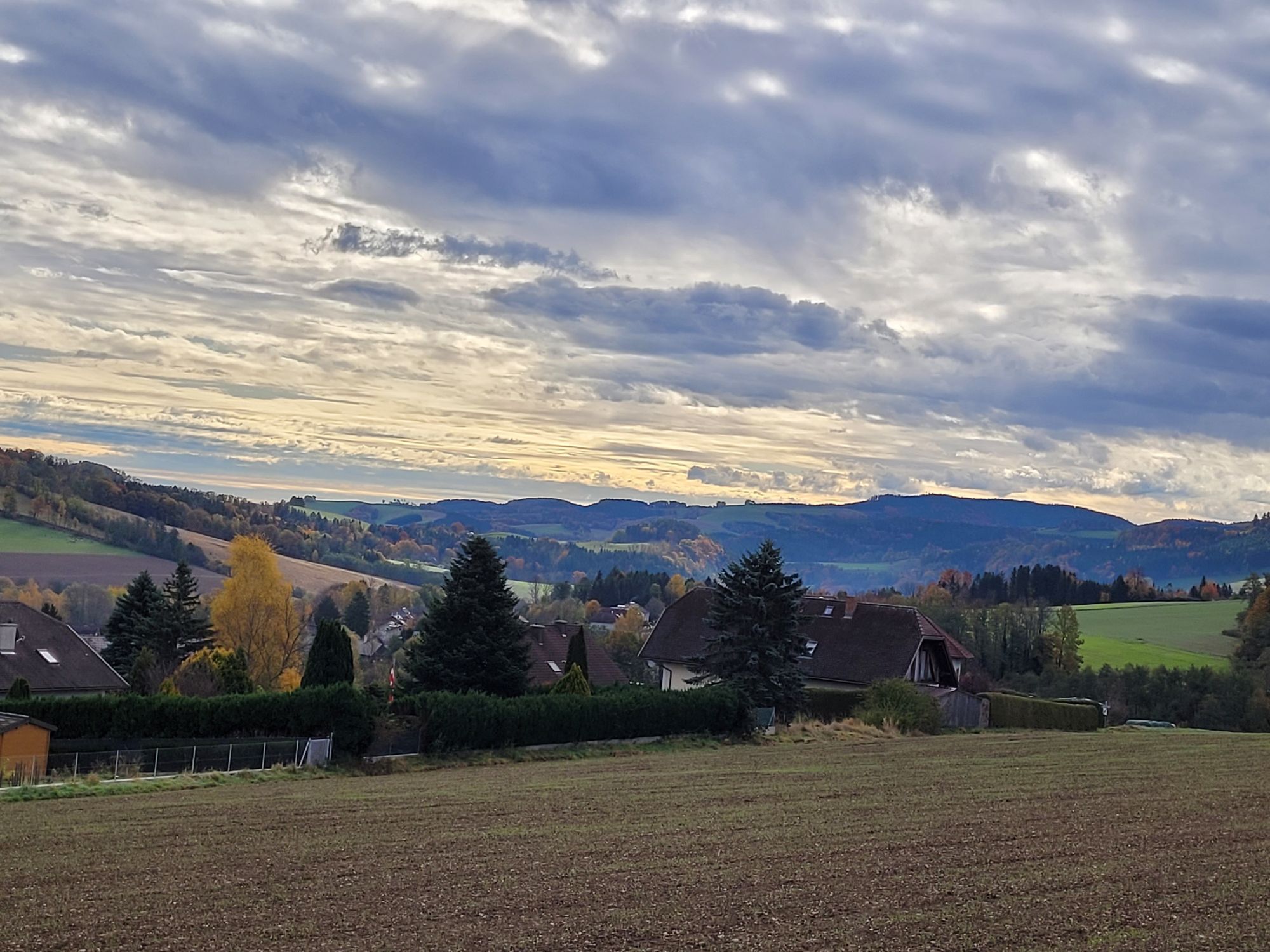
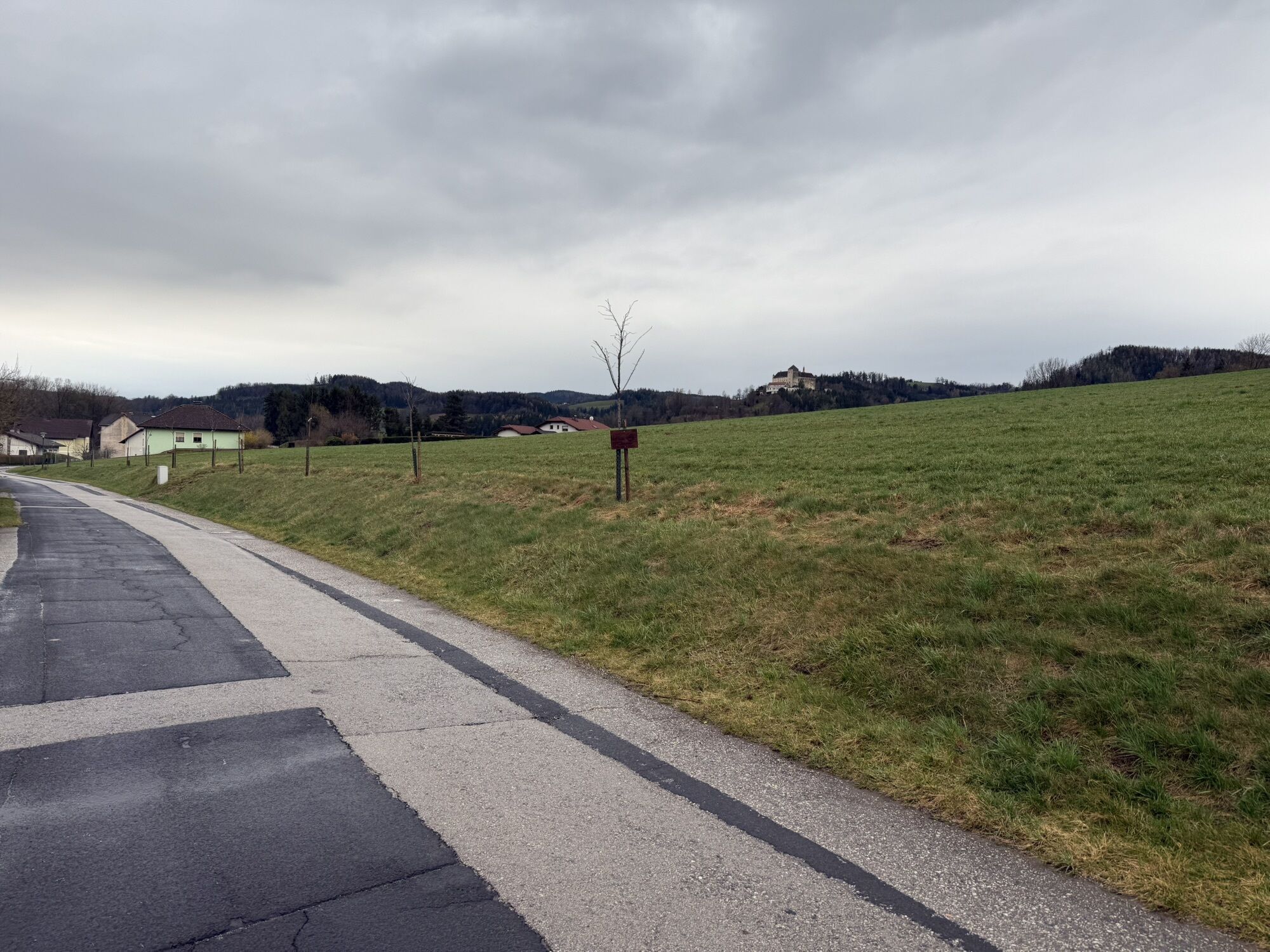
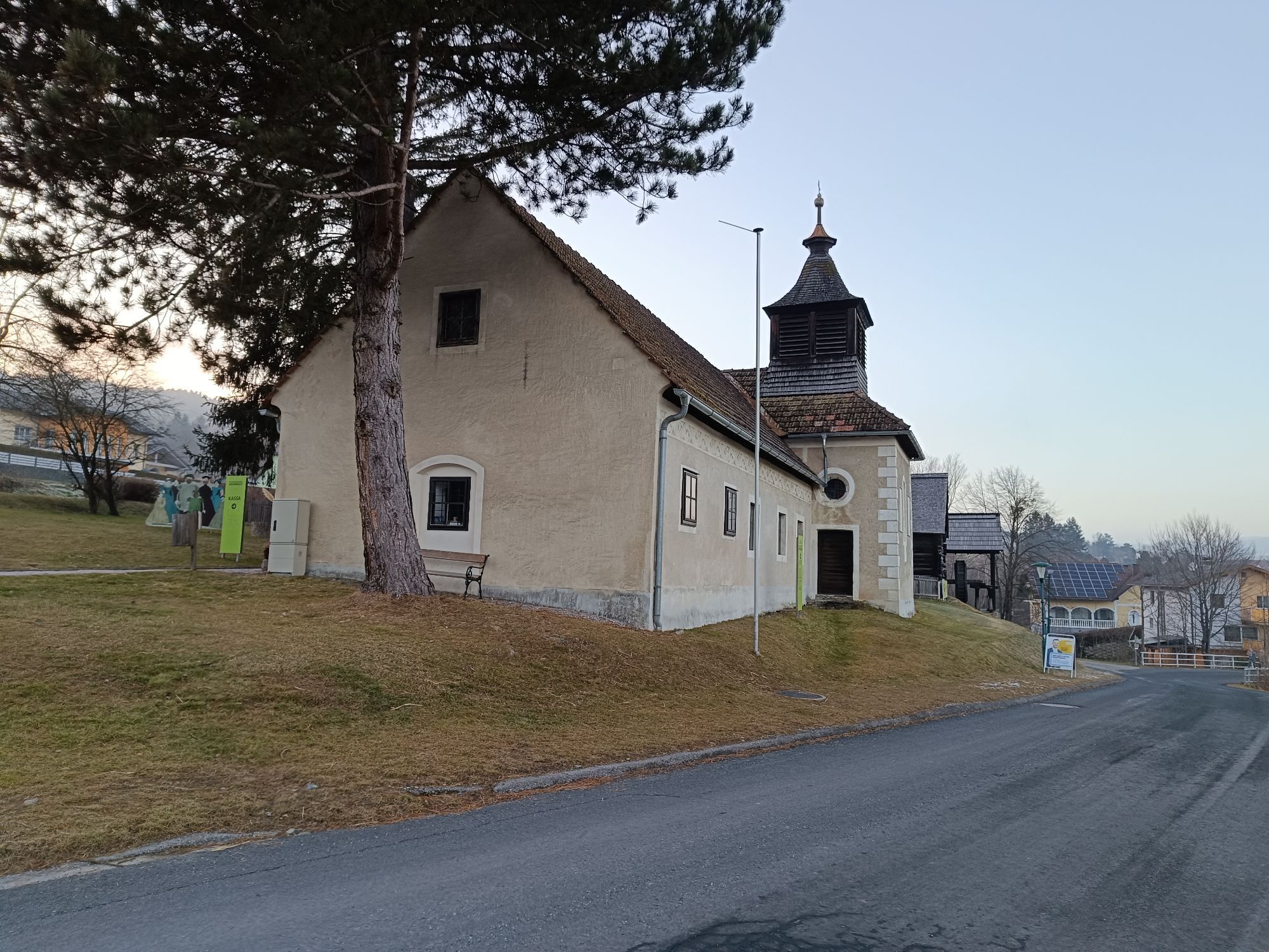
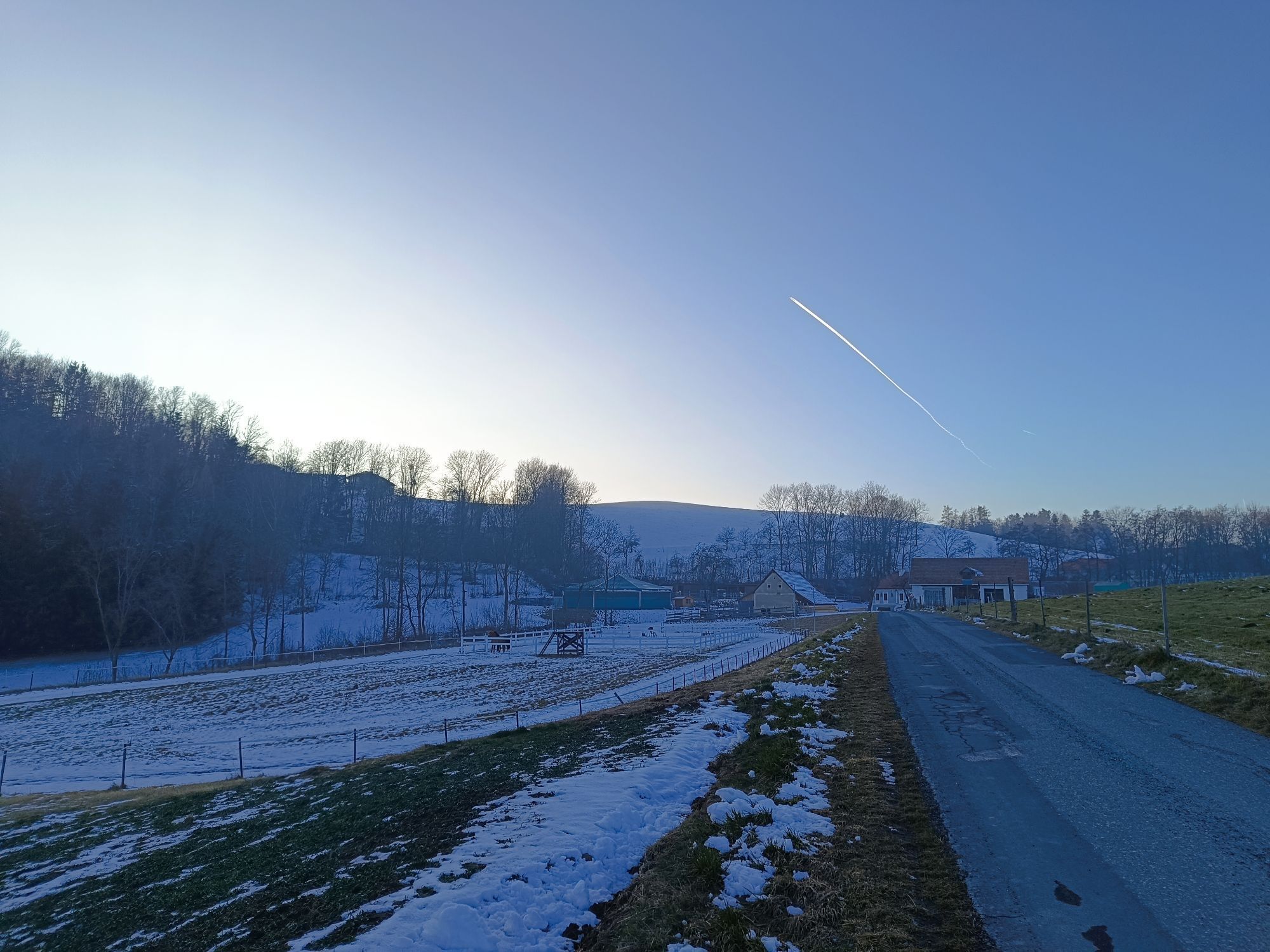
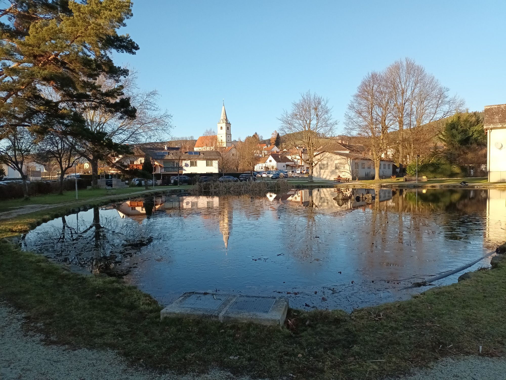
The route starts in Zöbern opposite the municipal office, where there is a large free car park. Nearby is the “Gasthaus Gansterer”, where you can borrow e-bikes. The tour begins on the left in the direction...
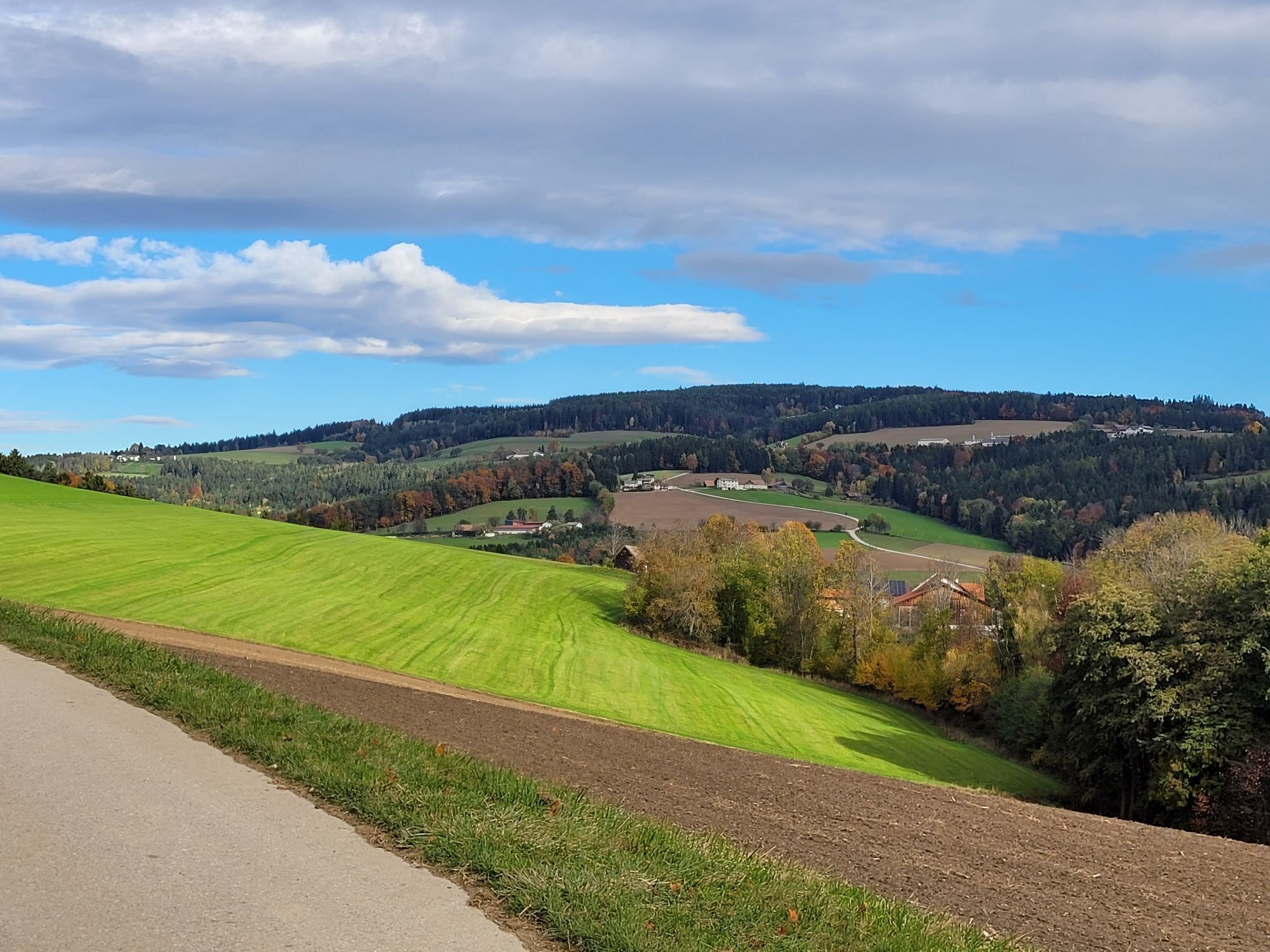
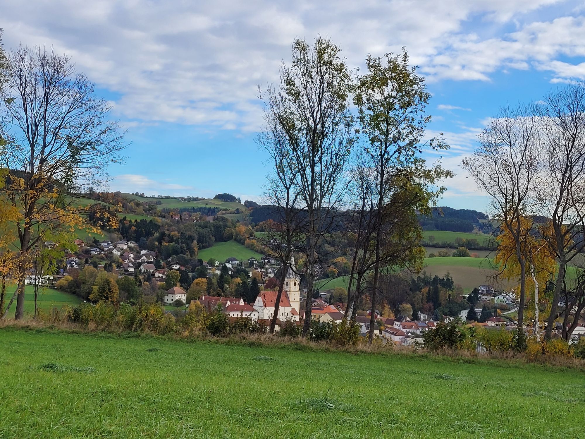
The route starts in Zöbern opposite the municipal office, where there is a large free car park. Nearby is the “Gasthaus Gansterer”, where you can borrow e-bikes. The tour begins on the left in the direction of Zöberner Au. Here, the trail follows the cycle path along the Zöbernbach stream for most of the time, partly along the cooling edge of the forest. Arriving in Unterhaus in Krumbach, the trail leads past the Krumbach Museum Village and through the village, before heading uphill past the Krumbacherhof inn on a scenic route. Here you can make a short stop at Eis Greissler. Past "Kloster Natursinne", the trail then descends again towards Zöbern. Those who have already had enough can also end the route here; for all others, it continues in the other direction to Knollen. This round trip takes you through Guggendorf and then into Styria – here, you’ll even get to discover a little of the Joglland nature reserve. Then it’s onwards and upwards, past Ziegersberg Castle and finally via Pichl back to the starting point at the car park in Zöbern.

Start der Route ist in Zöbern gegenüber vom Gemeindeamt, wo sich ein großer kostenloser Parkplatz befindet. Ganz in der Nähe ist das Gasthaus Gansterer, hier können E-Bikes ausgeborgt werden. Die Tour geht zuerst an der Kirche und dem Gasthaus vorbei, führt linkerhand in Richtung Zöberner Au weiter, vorbei am Sportplatz. Hier geht der Weg die meiste Zeit am Radweg entlang des Zöbernbaches, teilweise am kühlenden Waldesrand. Angekommen in Unterhaus in Krumbach, führt der Weg links weiter, vorbei am Krumbacher Museumsdorf und durch den Ort, bevor es dann vor dem Krumbacherhof links auf aussichtsreicher Strecke bergauf geht. Hier bietet sich ein kurzer Zwischenstopp beim Eis-Greissler an. Vorbei am "Kloster Natursinne" geht es dann wieder hinunter Richtung Zöbern. Wer jetzt schon genug hat, kann die Route auch hier beenden, für alle anderen geht es weiter in die andere Richtung nach Knollen. Diese Rundfahrt führt durch Guggendorf und anschließend in die Steiermark - hier streift man sogar am Naturschutzgebiet Joglland. Dann geht es weiter auf Schlag, vorbei am Schloss Ziegersberg und schließlich über Pichl wieder retour an den Ausgangspunkt zum Parkplatz in Zöbern.
Die Route ist mit den Schildern "Grenzland Route Nr. 9" in orange gekennzeichnet.
We recommend wearing a cycling helmet on rides. Wear suitable clothing and sturdy shoes. You should consider taking rain and sun protection. Take enough to drink with you.
Coming from Graz: Exit Zöbern, then turn left in the direction of the Ort
More information: fahrplan.oebb.at and www.vor.at
Parking is available directly opposite the municipal office, free of charge
Wiener Alpen in Niederösterreich, www.wieneralpen.at, +43 / 2622 / 78960
Erlebnisregion Bucklige Welt süd, www.buckligewelt.info
Eis Greissler: Stop off for a handmade organic ice-cream
Refreshment stop:
Gansterer Inn, Zöbern
Krumbacherhof Ottner family, Krumbach
 Obtenez un aperçu Toujours en direct avec plus de 9.500 webcams. En tant qu'utilisateur Pro, vous pouvez désormais voir les webcams correspondantes à de nombreuses randonnées dans l'application de randonnées de bergfex. Vous pouvez ainsi voir directement les conditions actuelles.
Parcours populaires à proximité
- 3,8
St. Corona - Kampstein
moyenRandonnée 10,7 km - 5,0
Hochwechsel - Tour
Randonnée 18,5 km - 4,1
"Weg der Blicke"
facileRandonnée 5,86 km - 4,5
Bad Schönau - Hutwisch
facileRandonnée 9,99 km - 4,0
Bucklige Welt: Burg Grimmenstein und Kulmriegel
facileRandonnée 10,5 km - 4,7
Aspang Hochwechsel Panorama-Runde Wexl Trails mit "The WU"
moyenVTT 57,5 km - 4,4
BAD-SCHÖNAU Hutwisch und wieder zurück 20220611
moyenRandonnée 10,8 km - 4,5
Mönichkirchner Genussrunde
facileRandonnée 10,1 km - 4,0
Molzbachhof Feistritz Rundweg
facileRandonnée 7,32 km - 4,8
Chemin d'expérience pour enfants Bakabu jusqu'à Hutwisch
moyenChemin thématique 5,42 km
Randonnée et suivi


Ne manquez pas les offres et l'inspiration pour vos prochaines vacances
Votre adresse électronique a été ajouté à la liste de diffusion.





