







Jakobsweg Danube: Stage 4 Göttweig Abbey - Maria Langegg


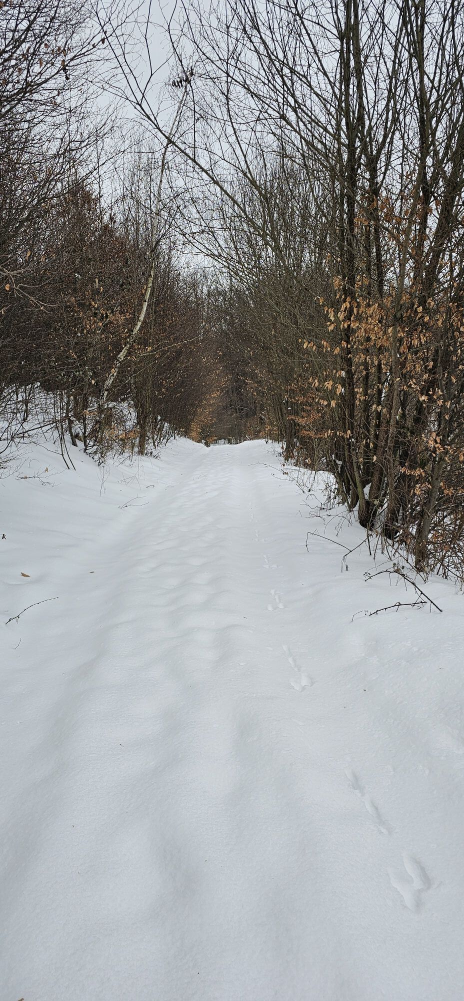
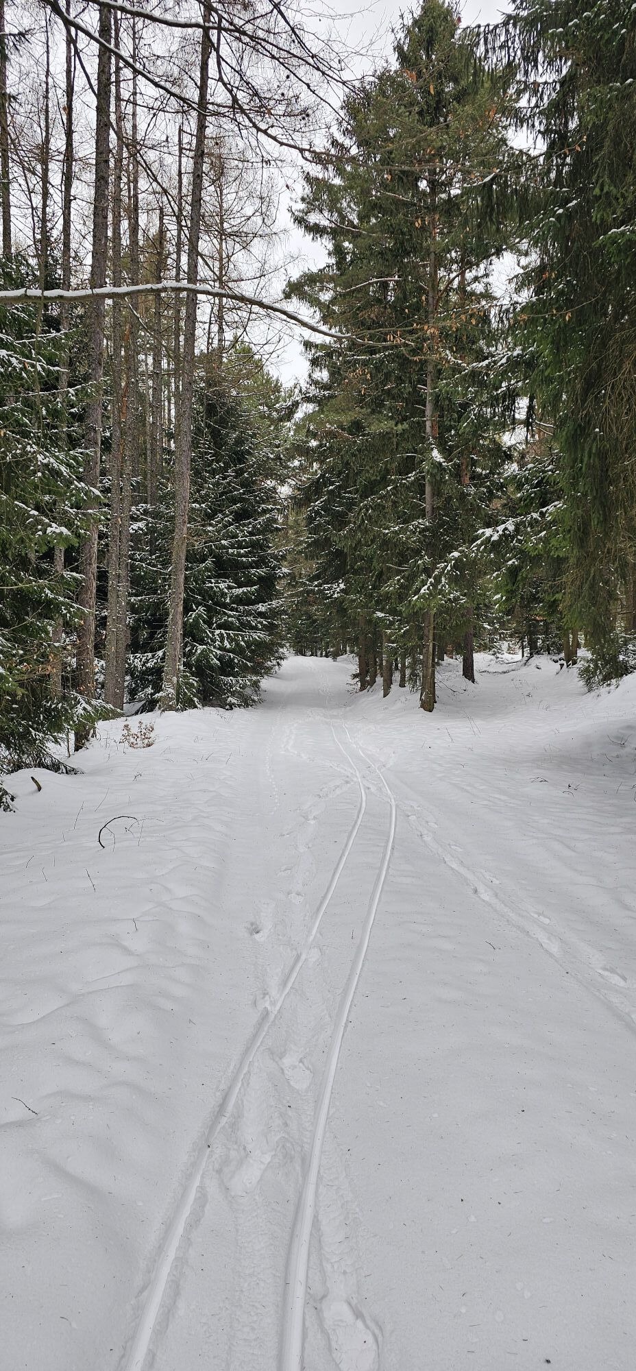
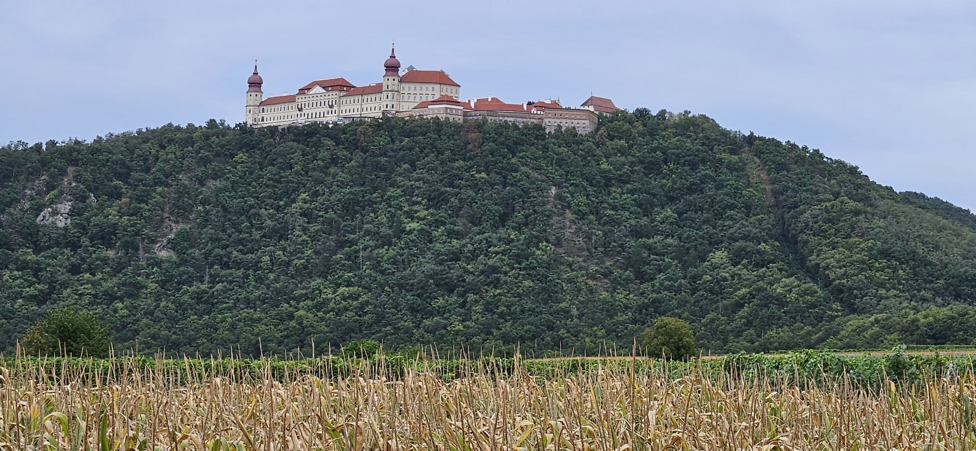

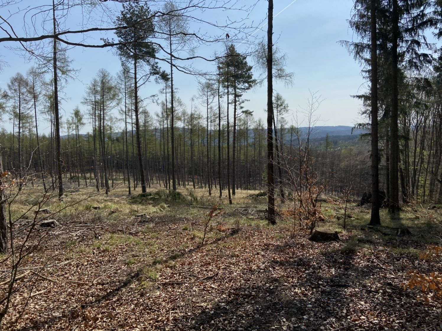
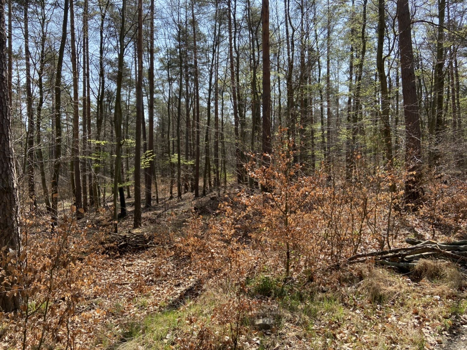
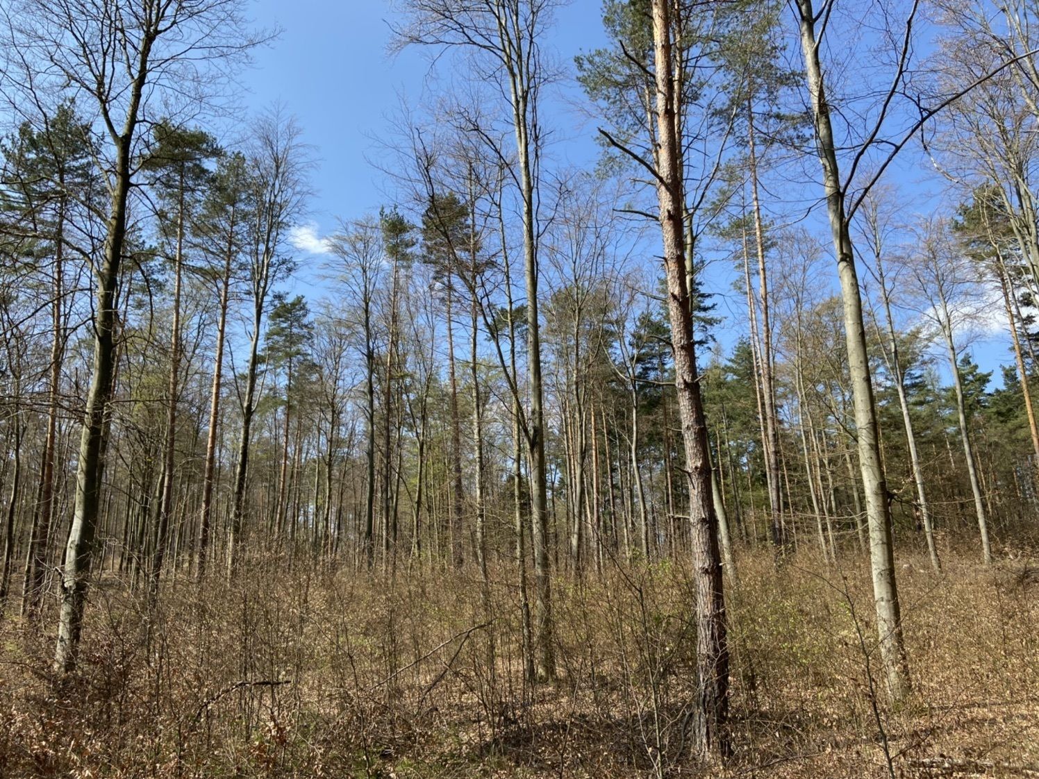
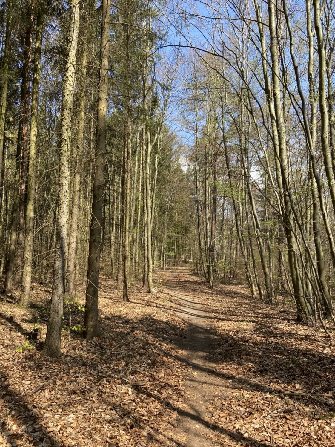
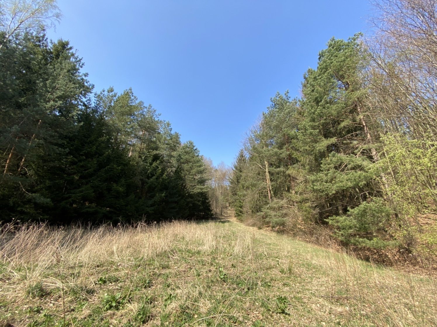
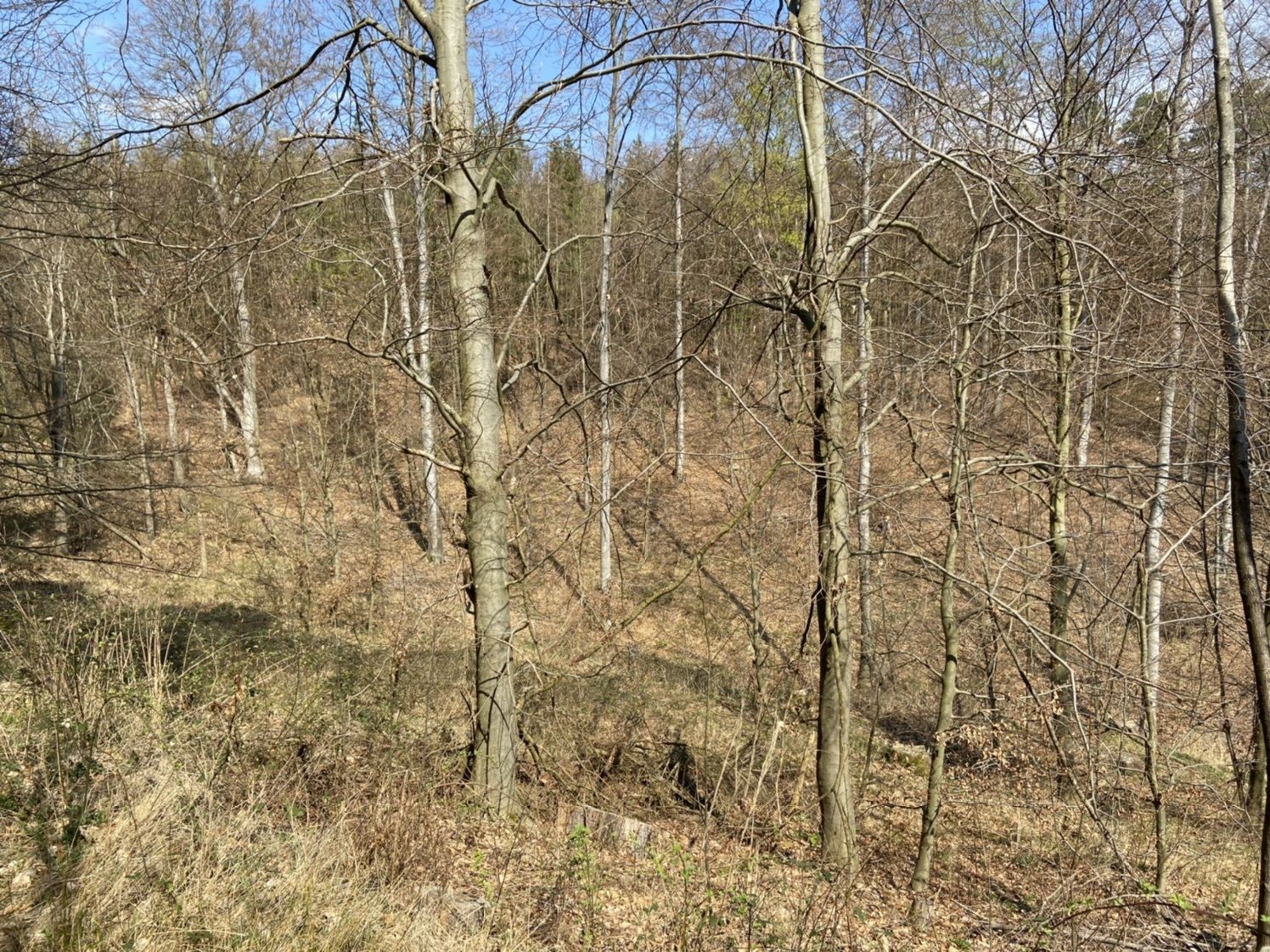
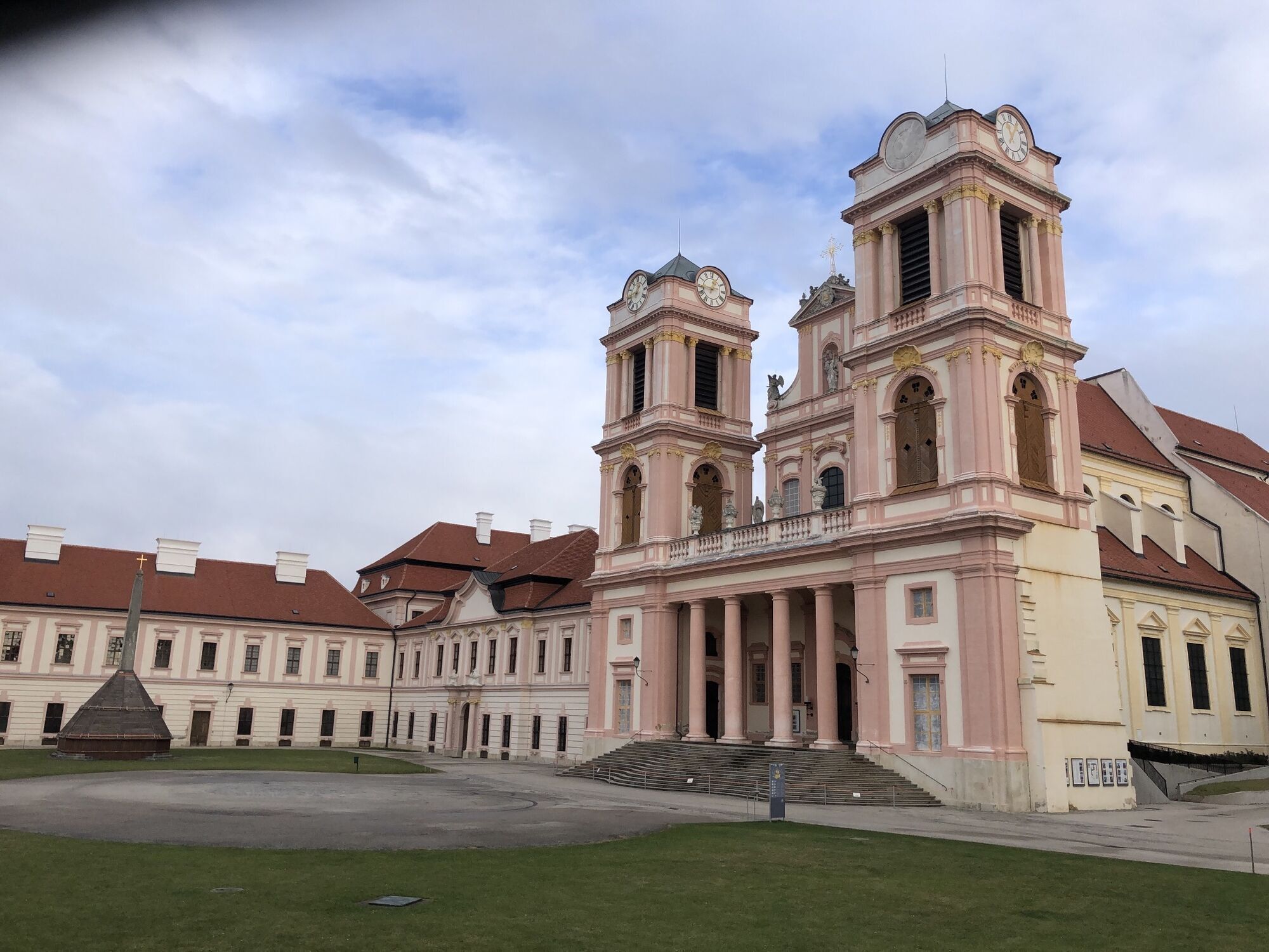
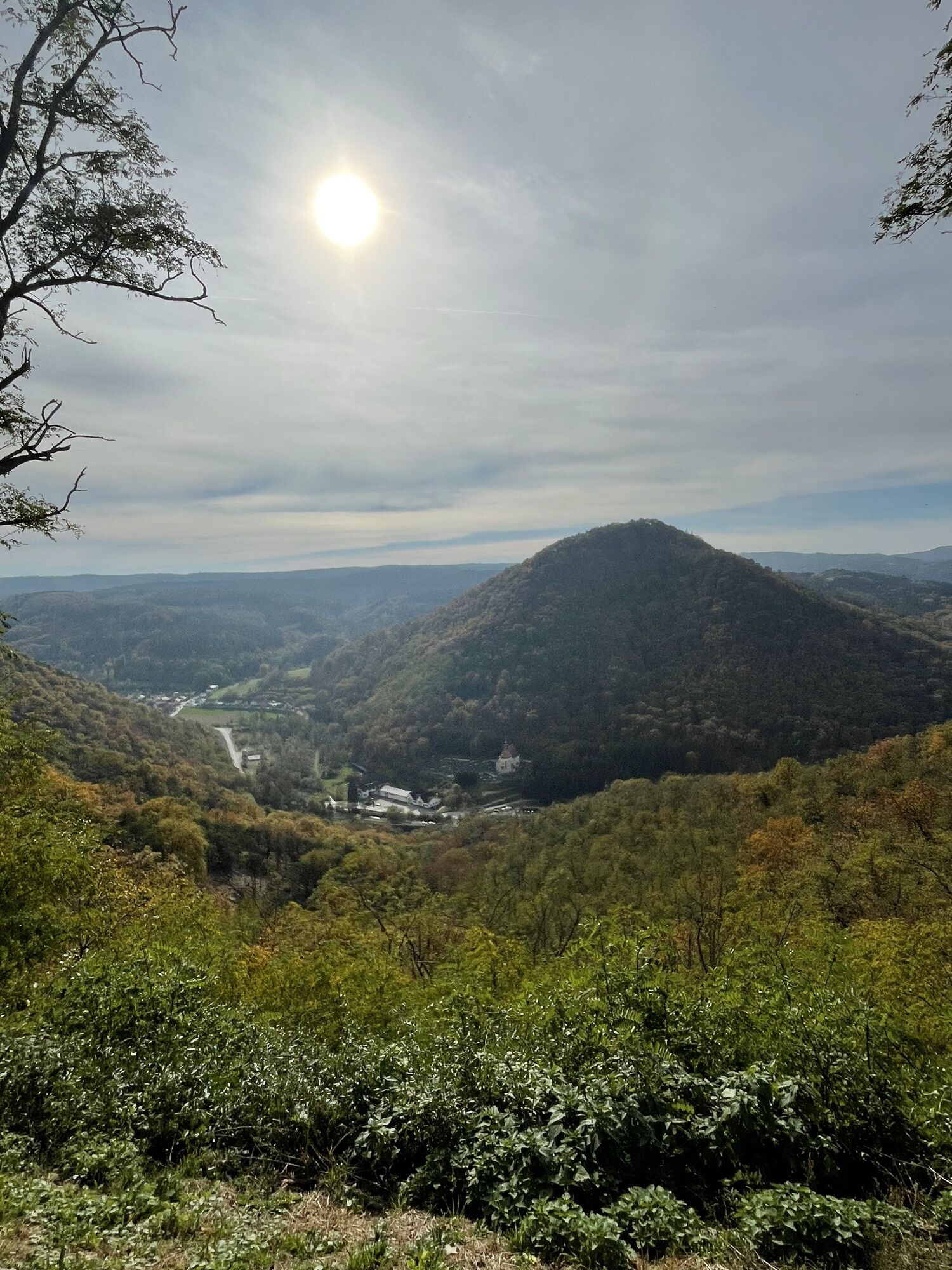
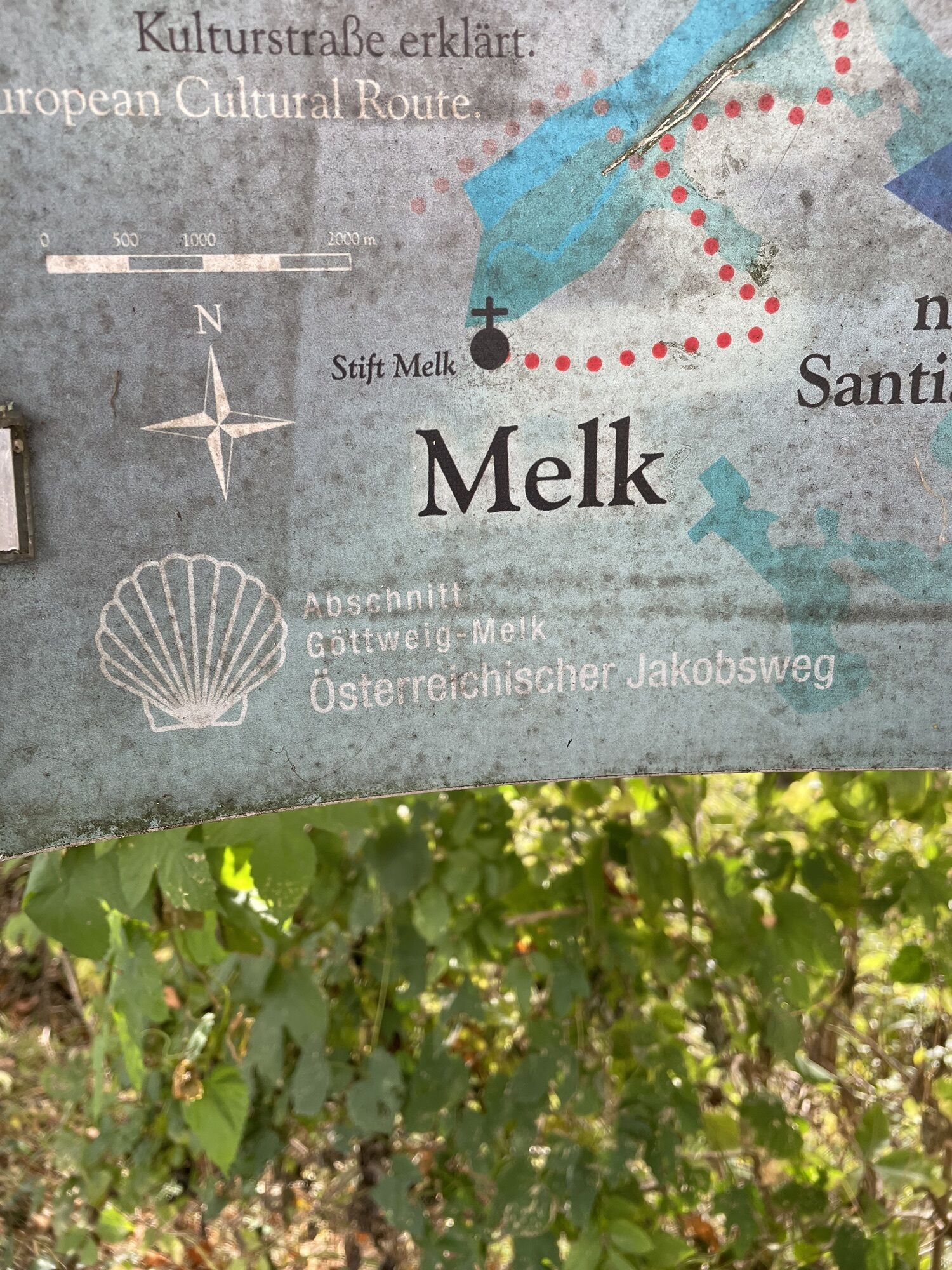
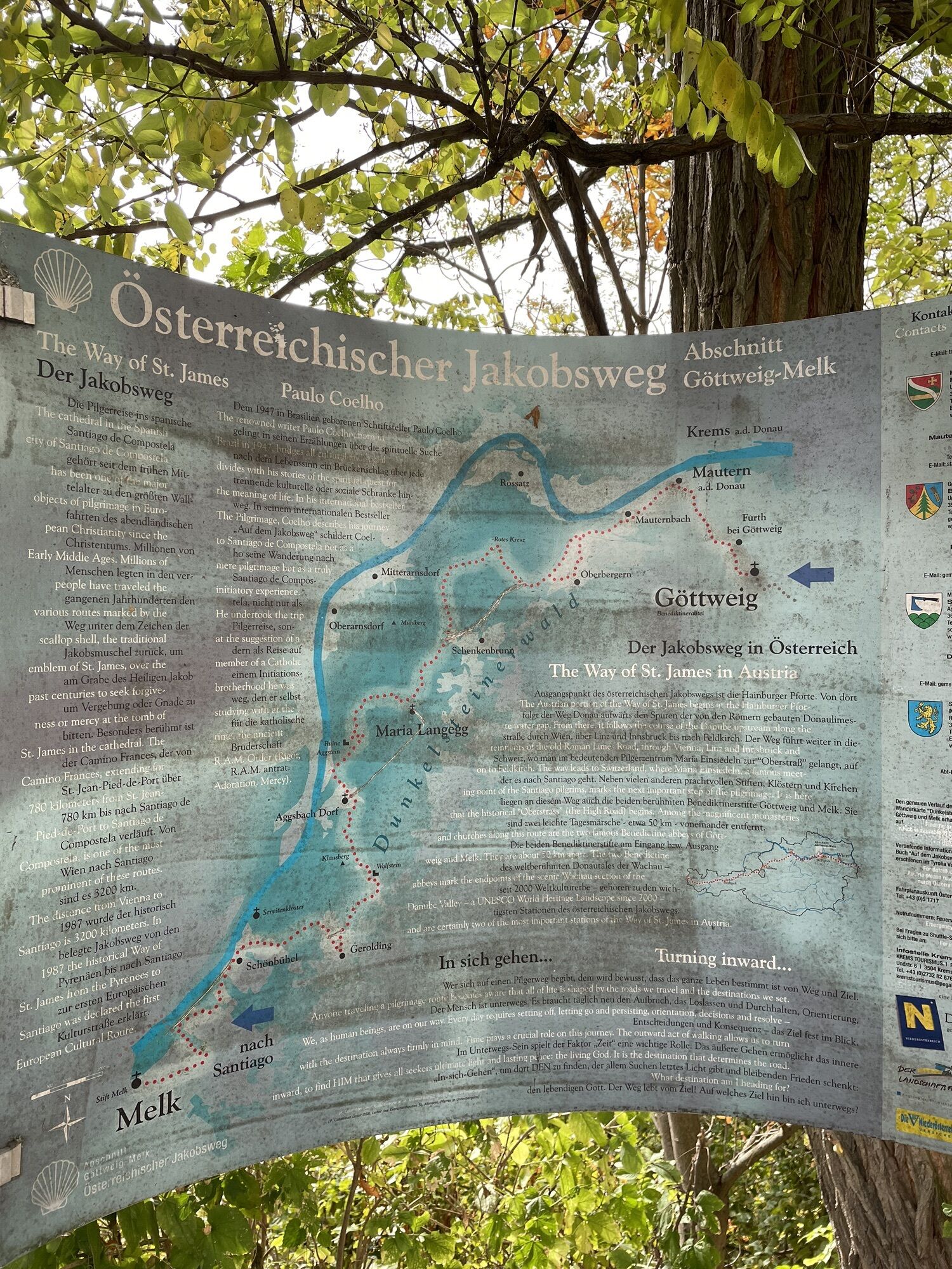
<p>Starting from Göttweig Abbey, the pilgrimage route in this stage leads about 24 km via Mautern to Maria Langegg.</p>

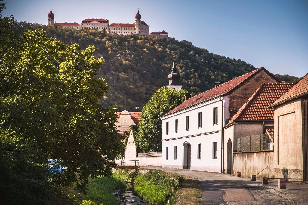
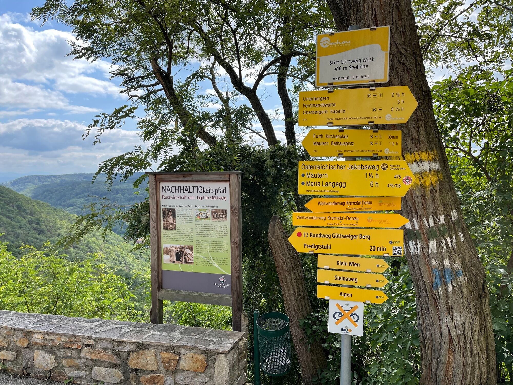
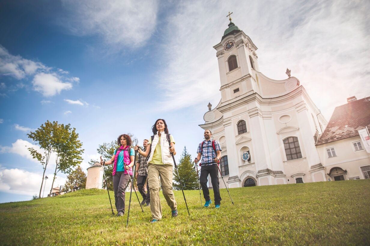
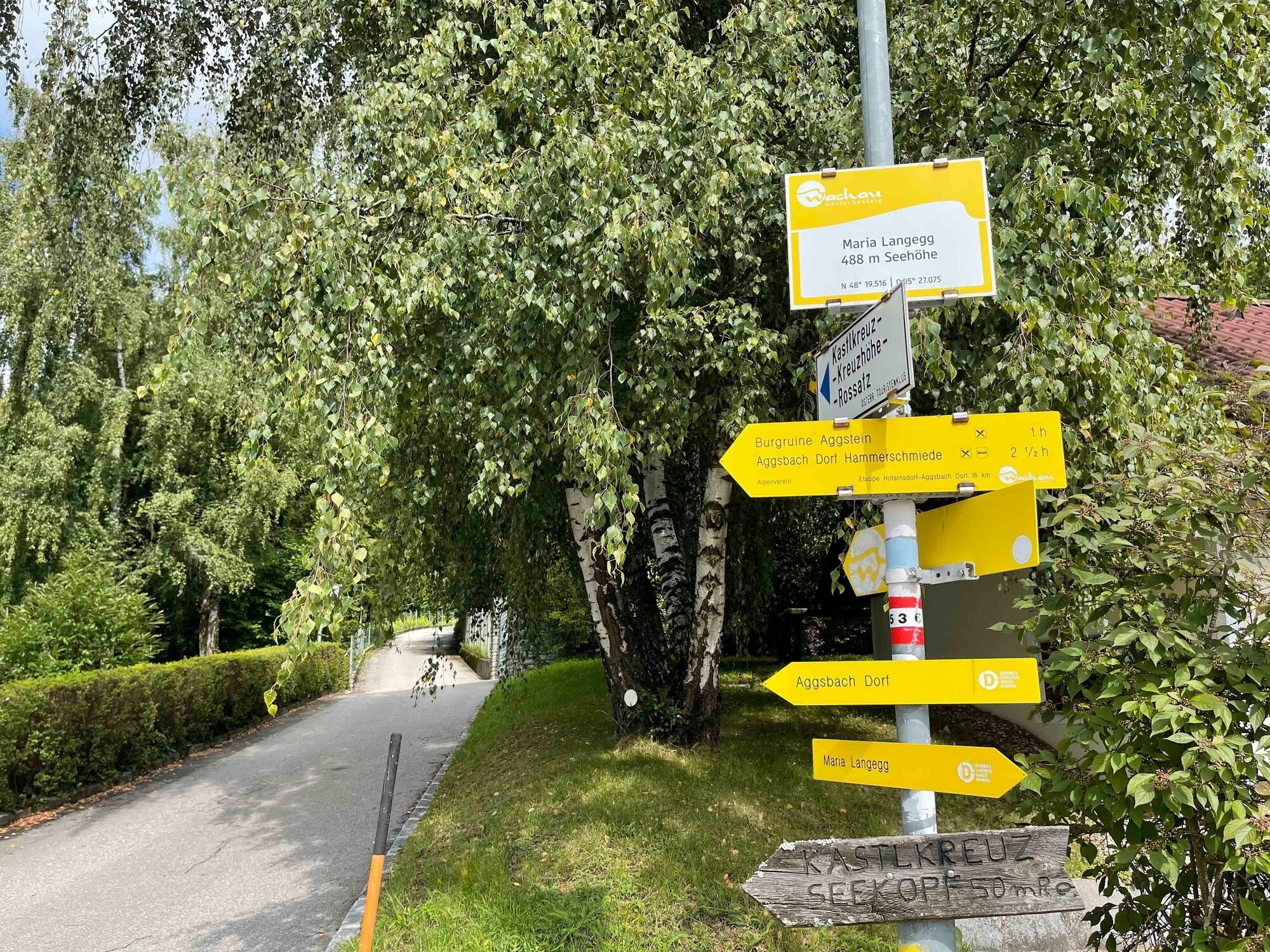


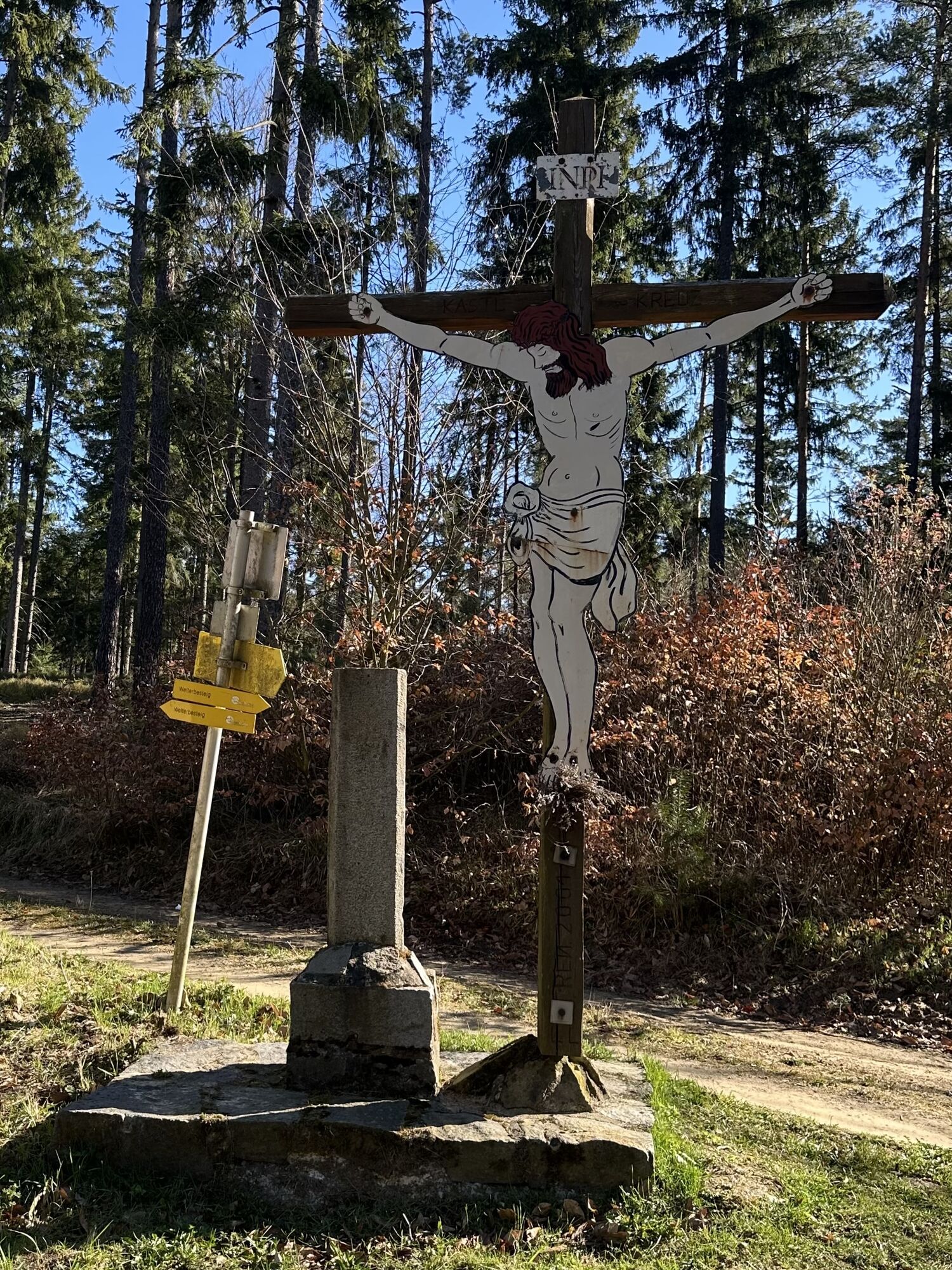
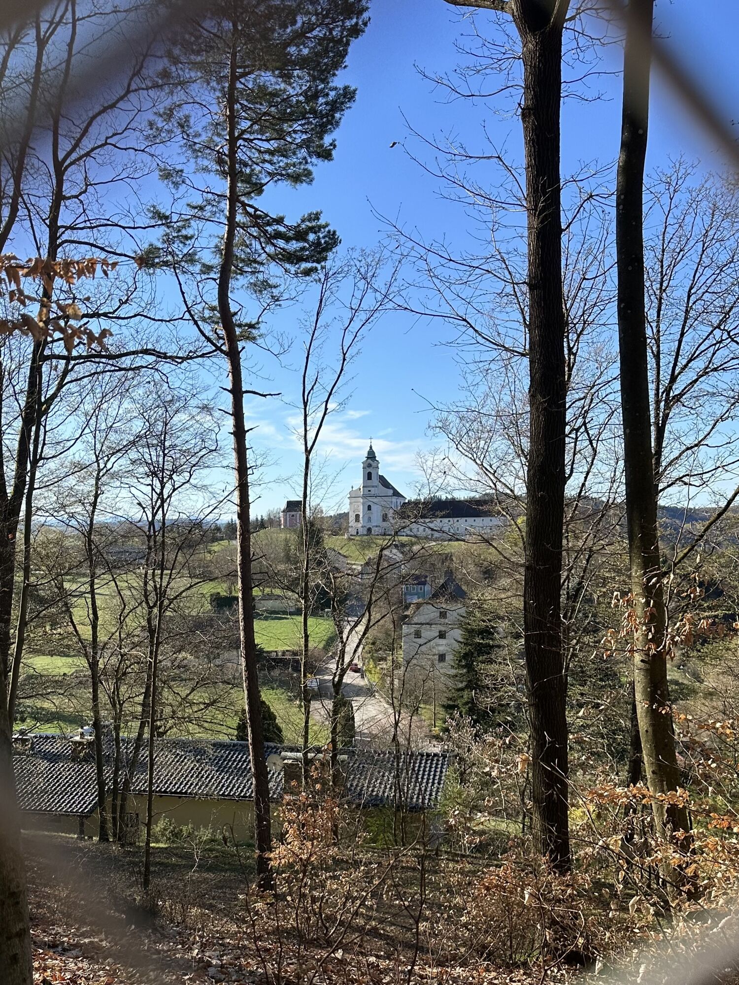
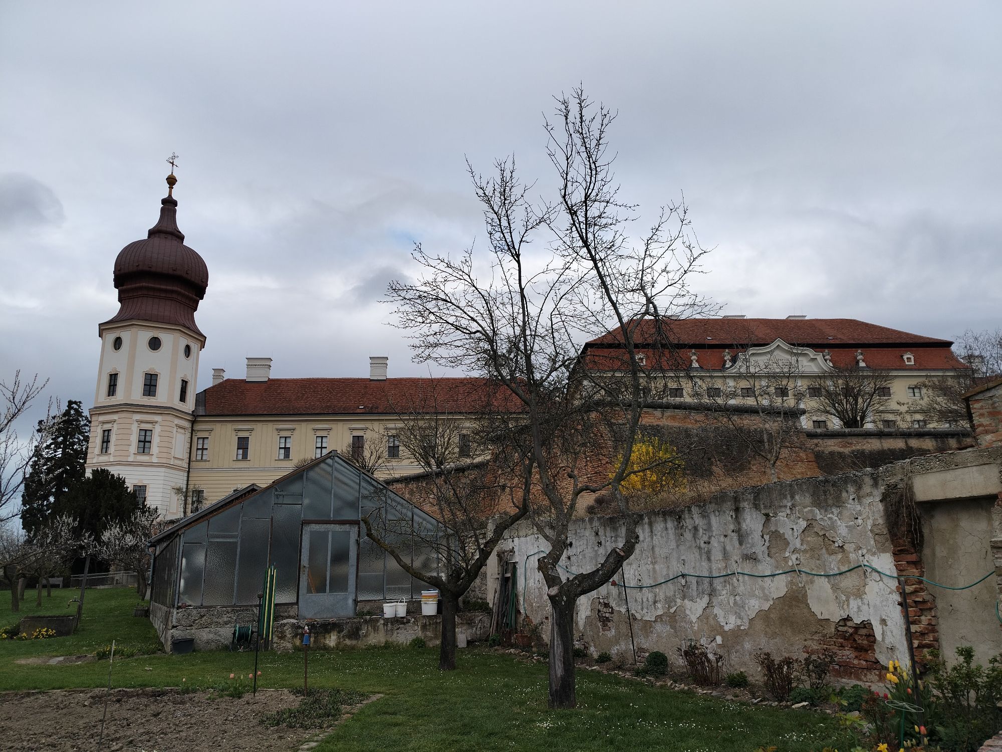
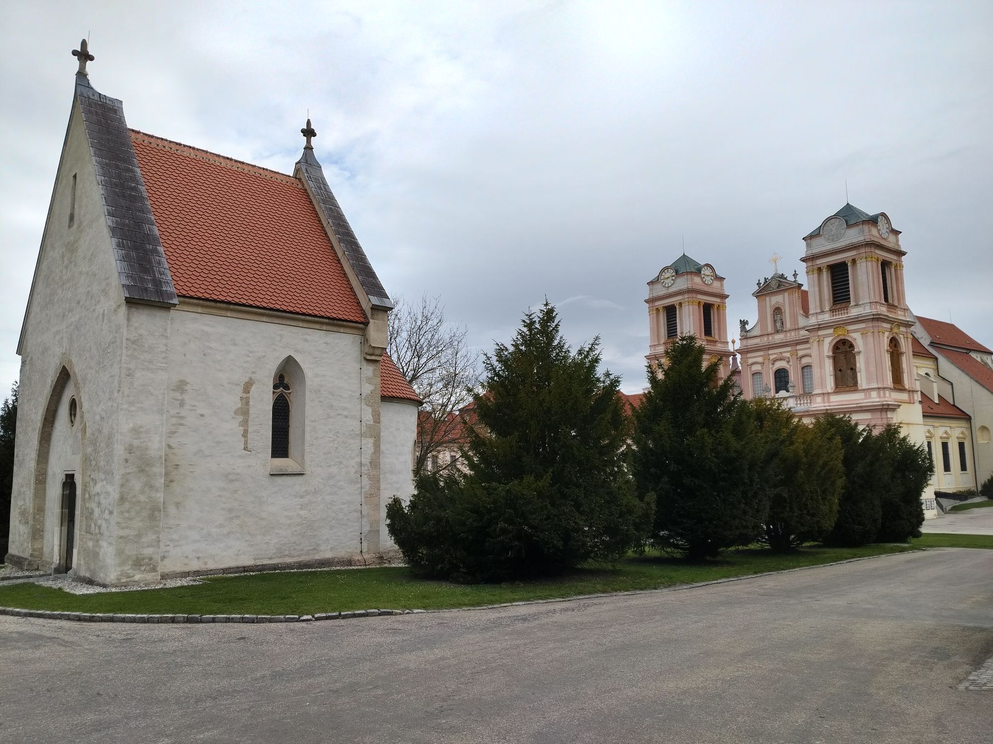
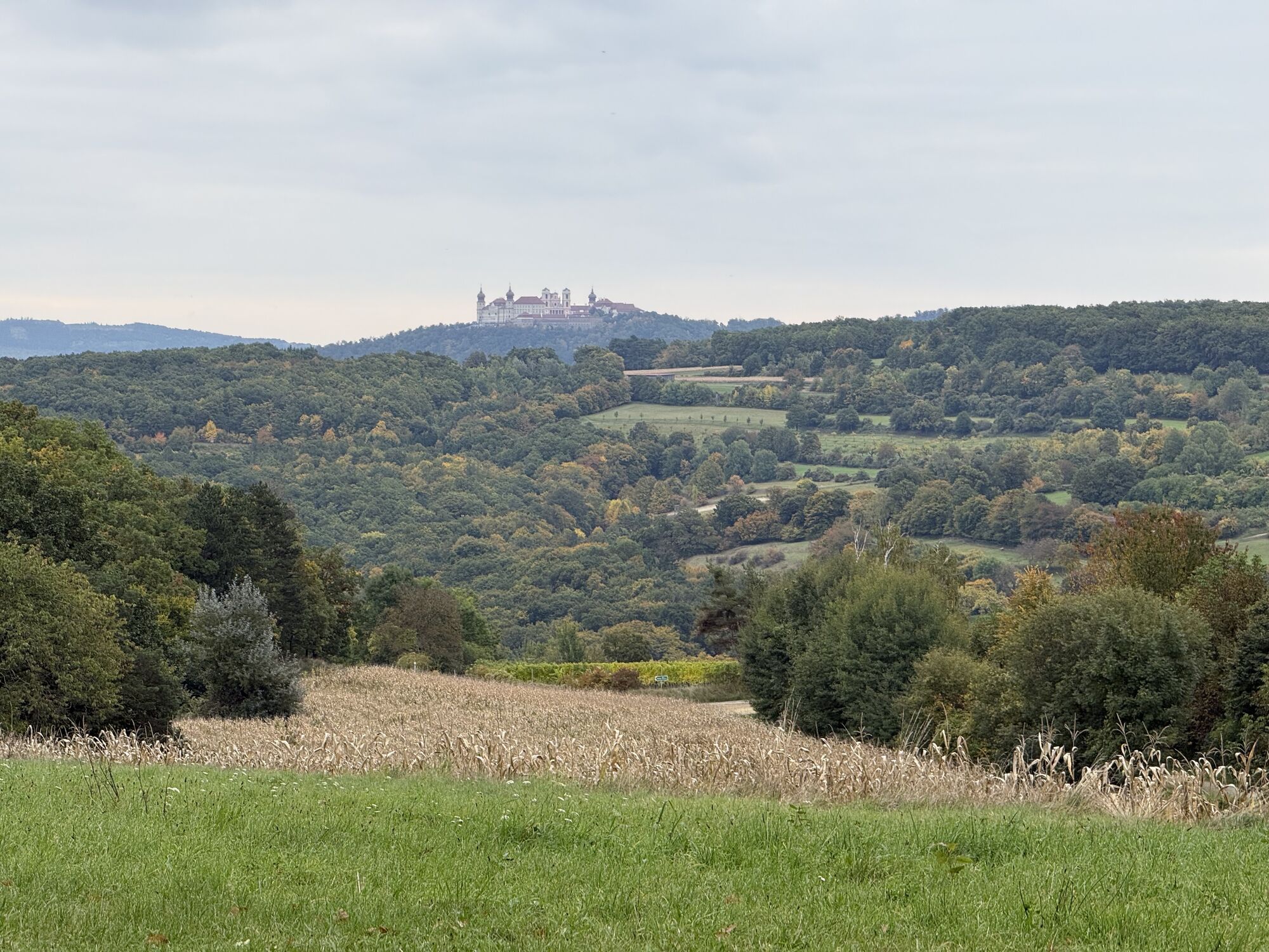
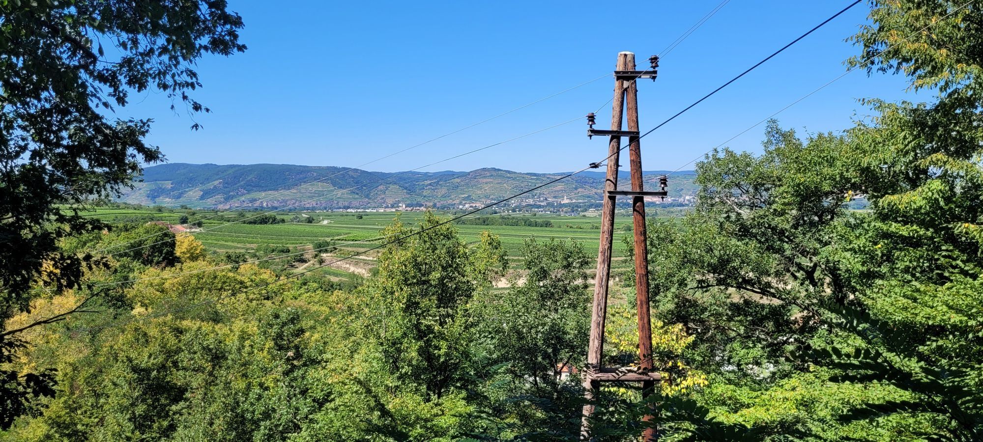
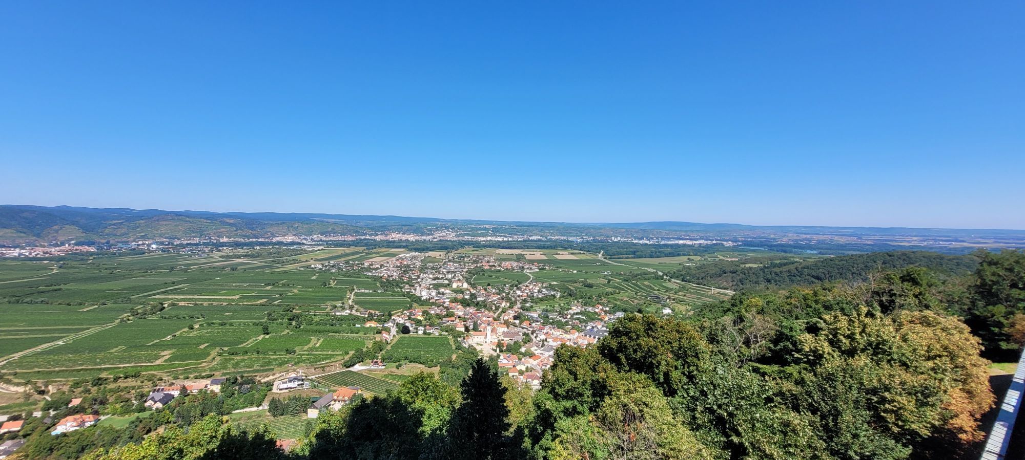
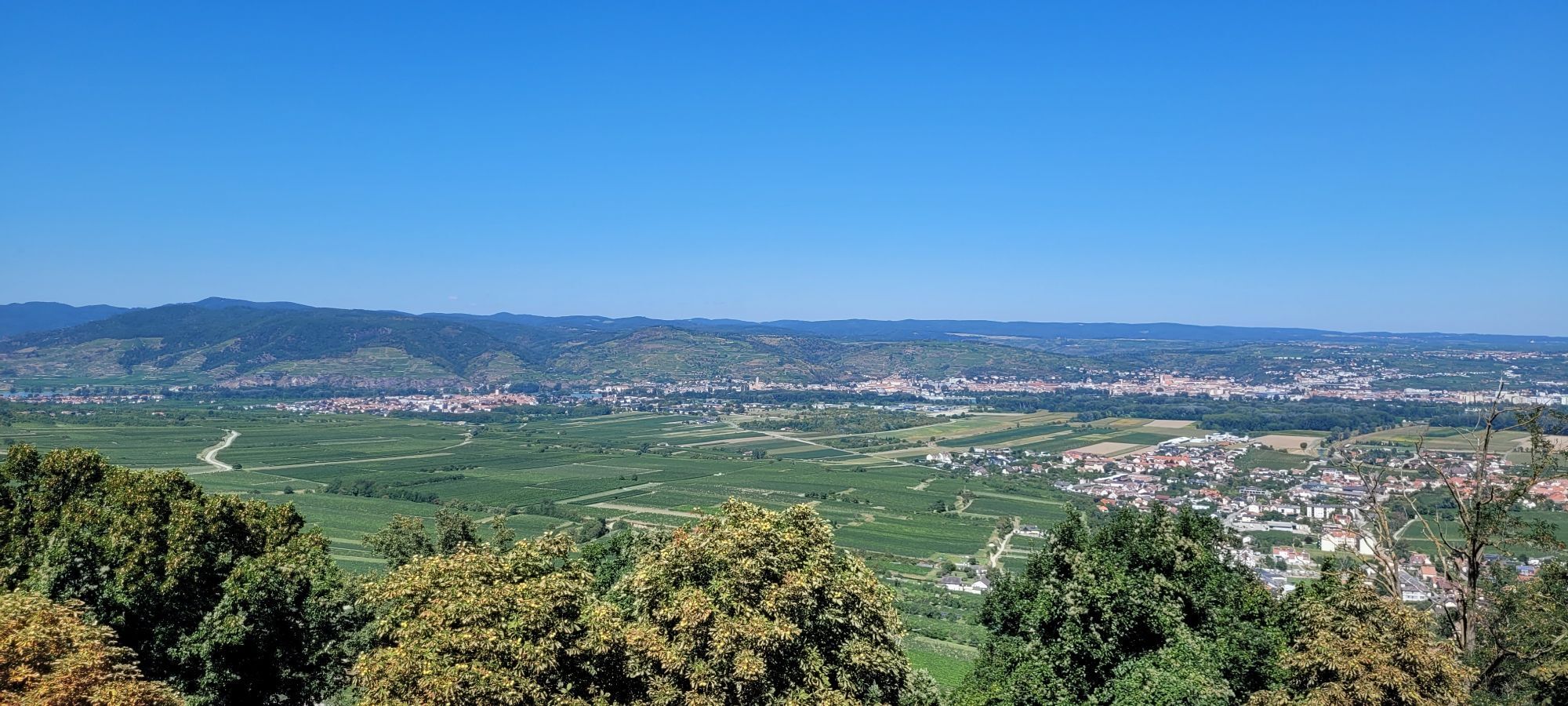
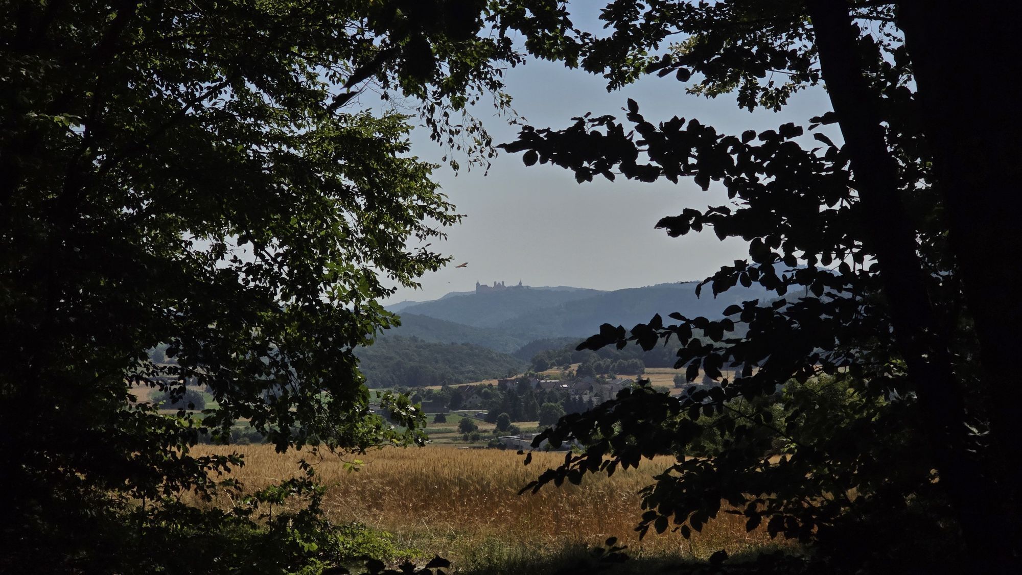
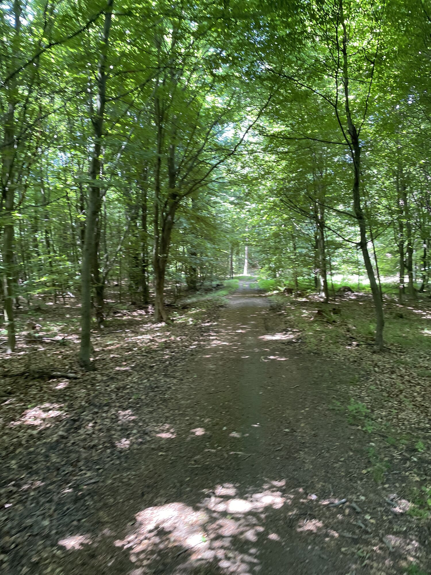
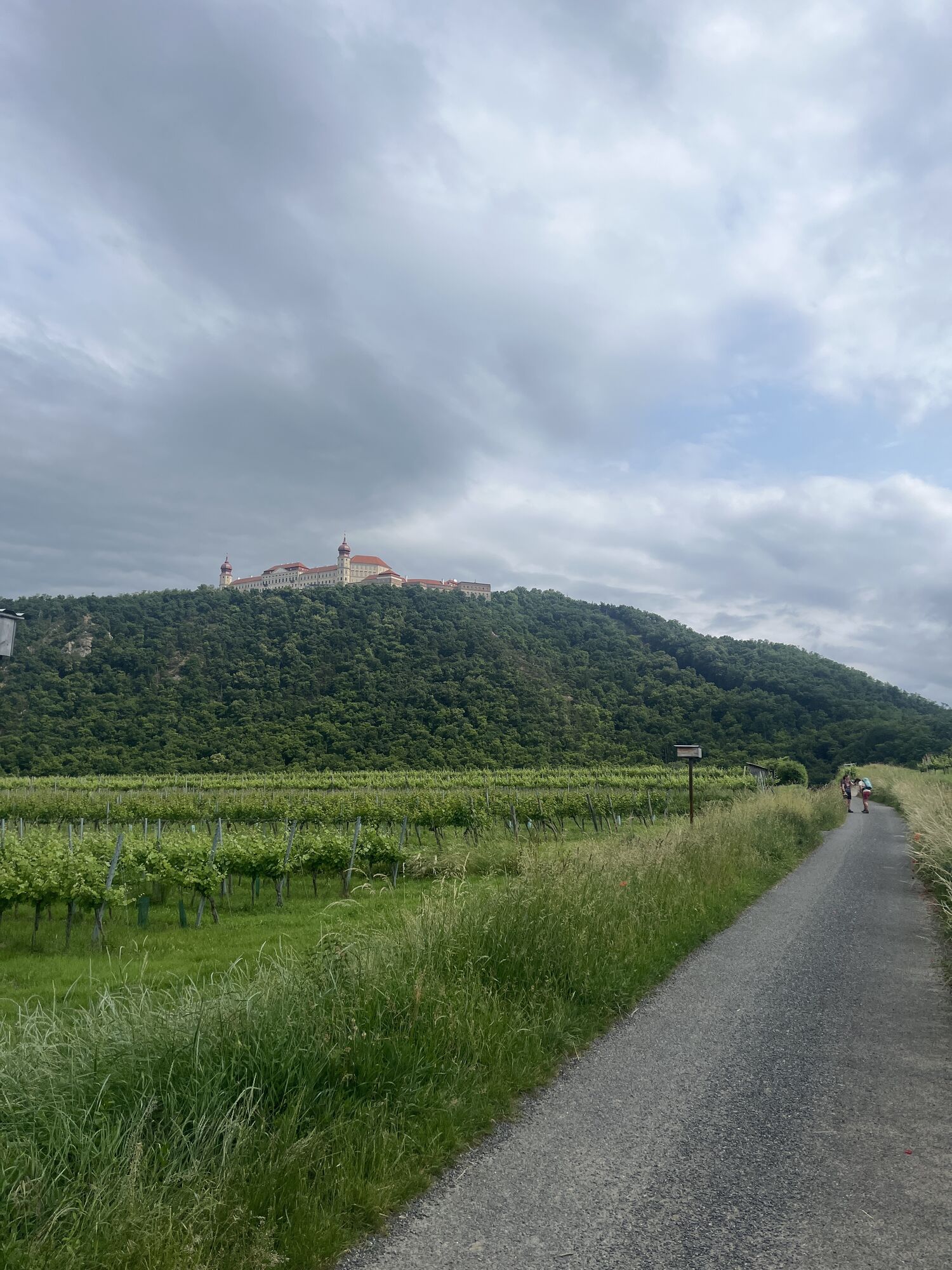
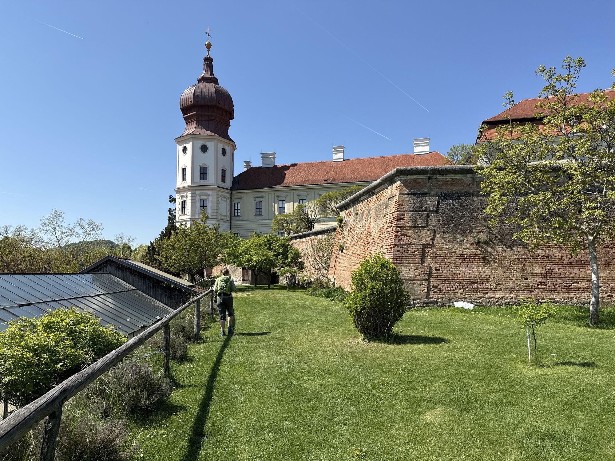
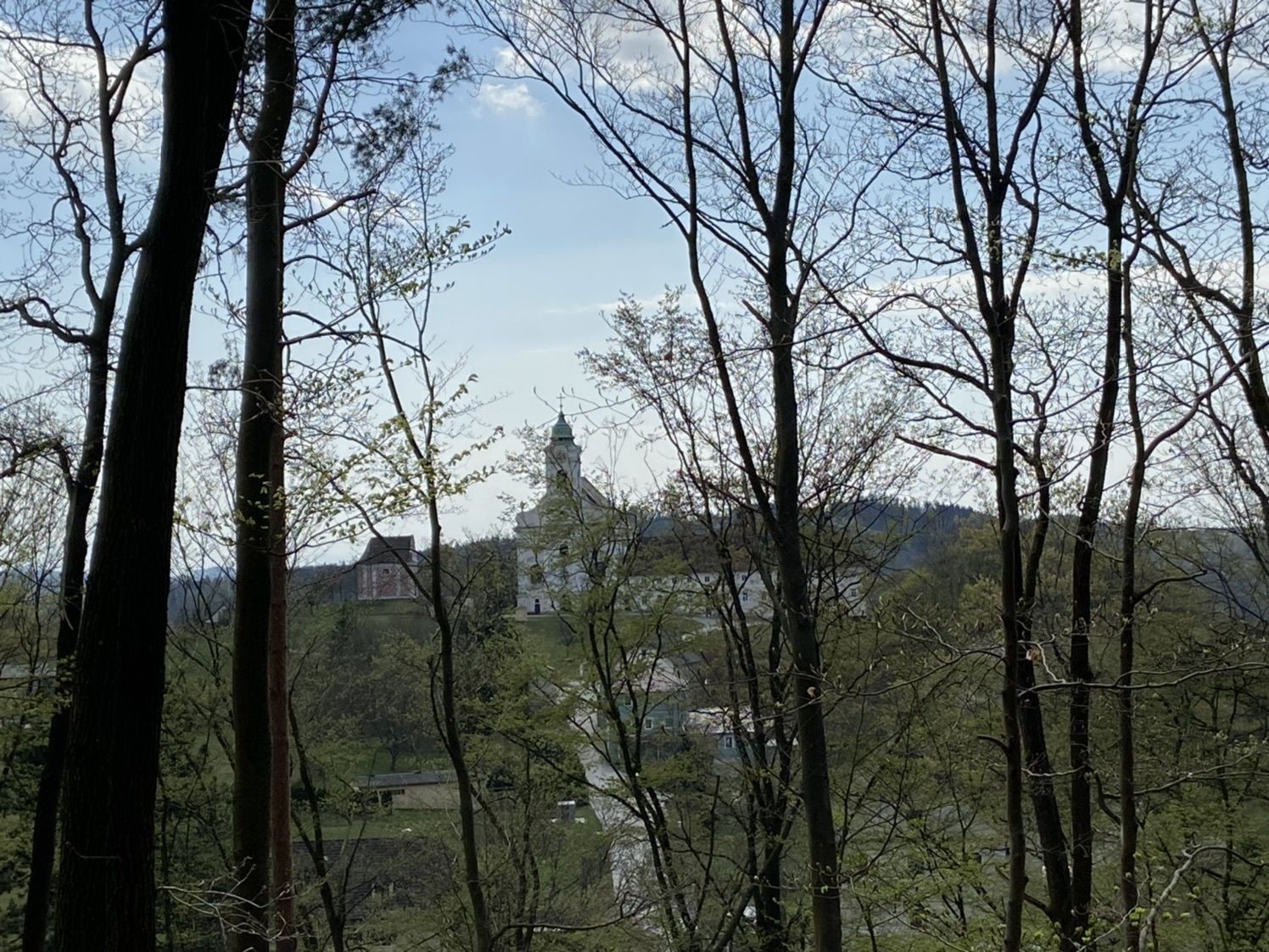
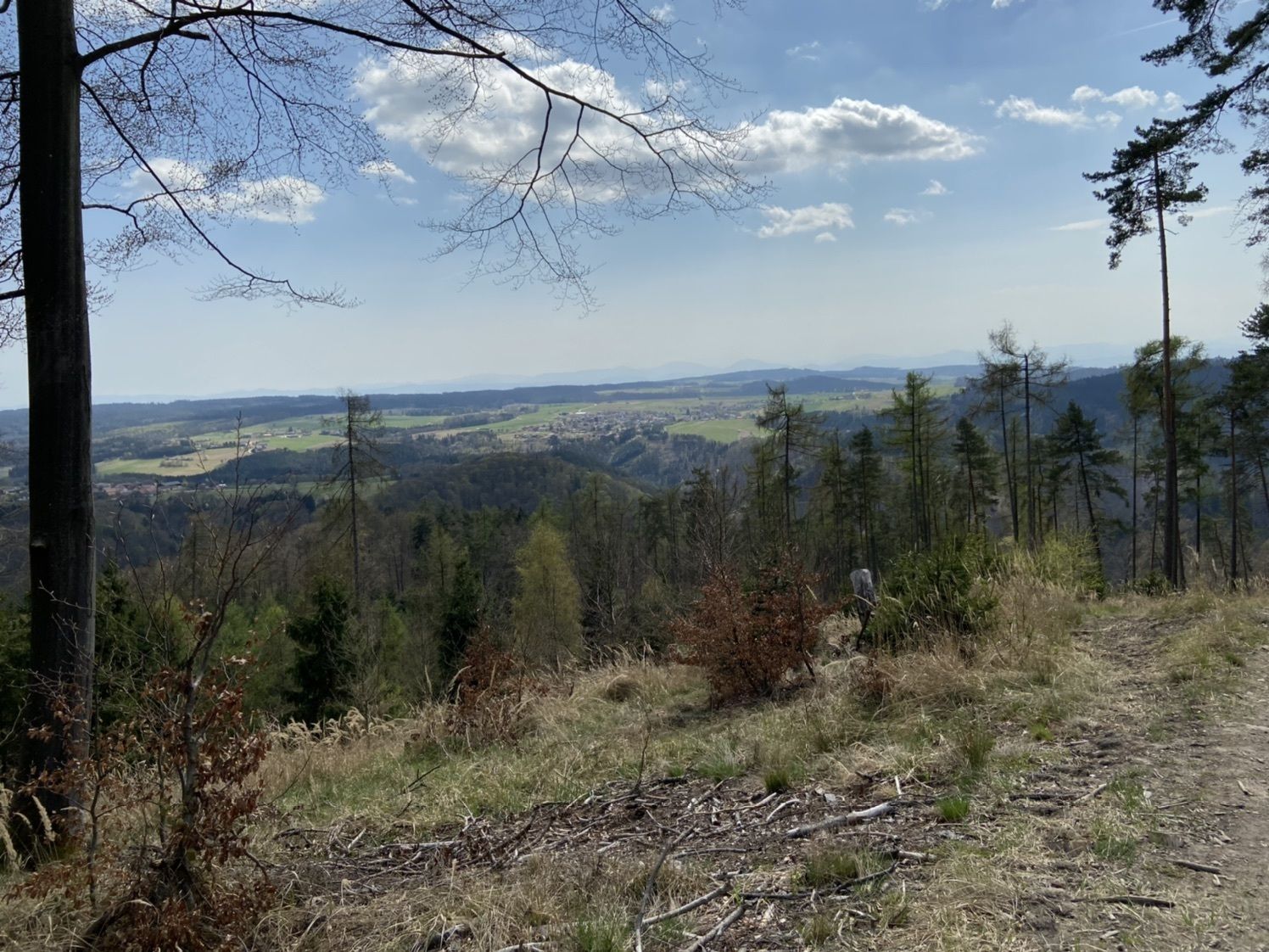
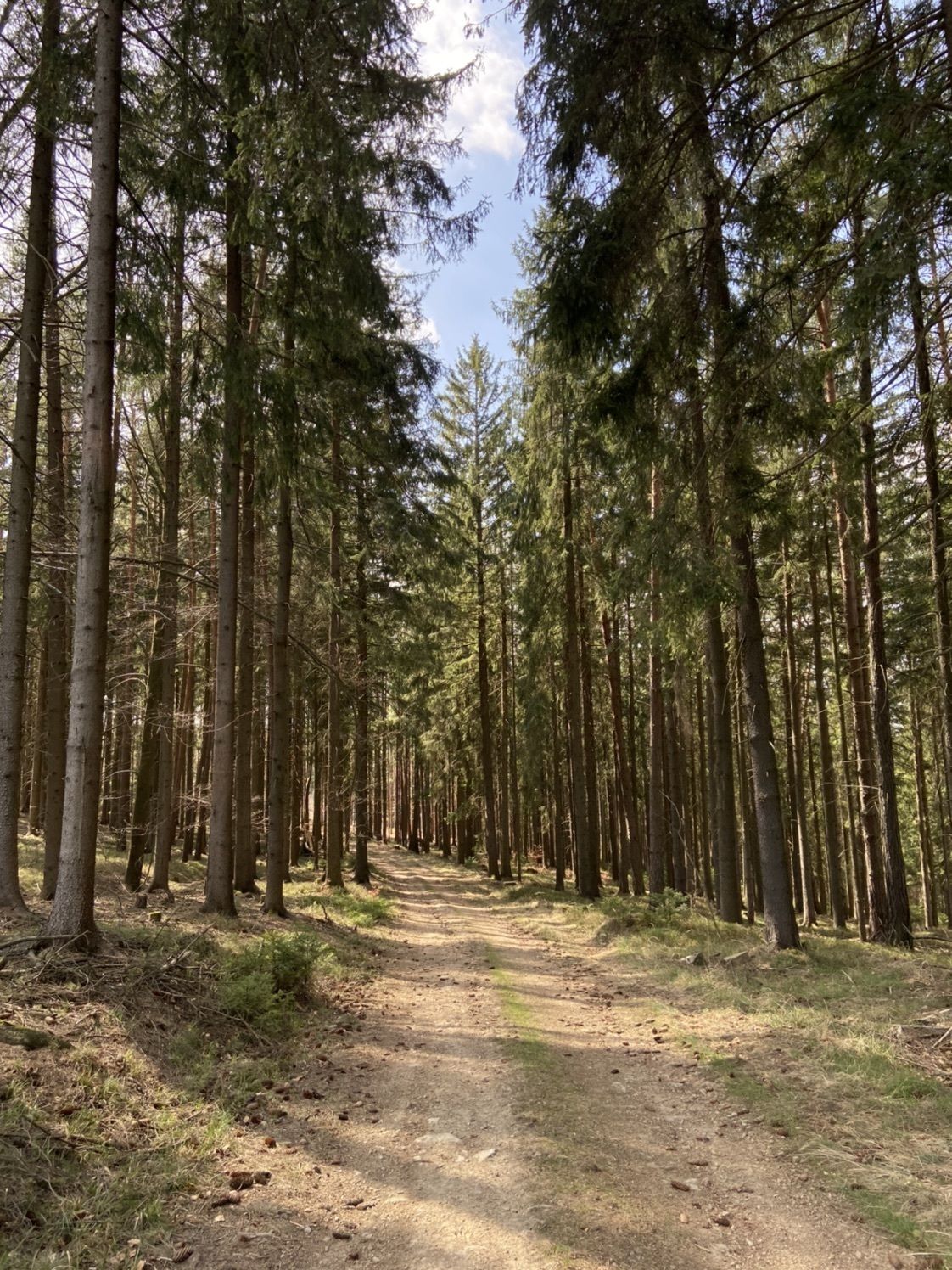
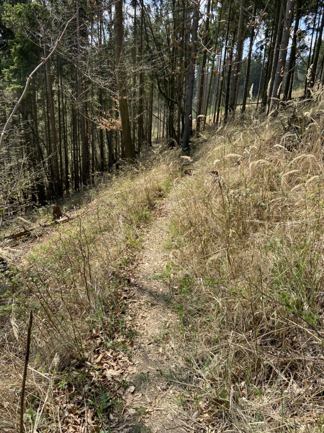
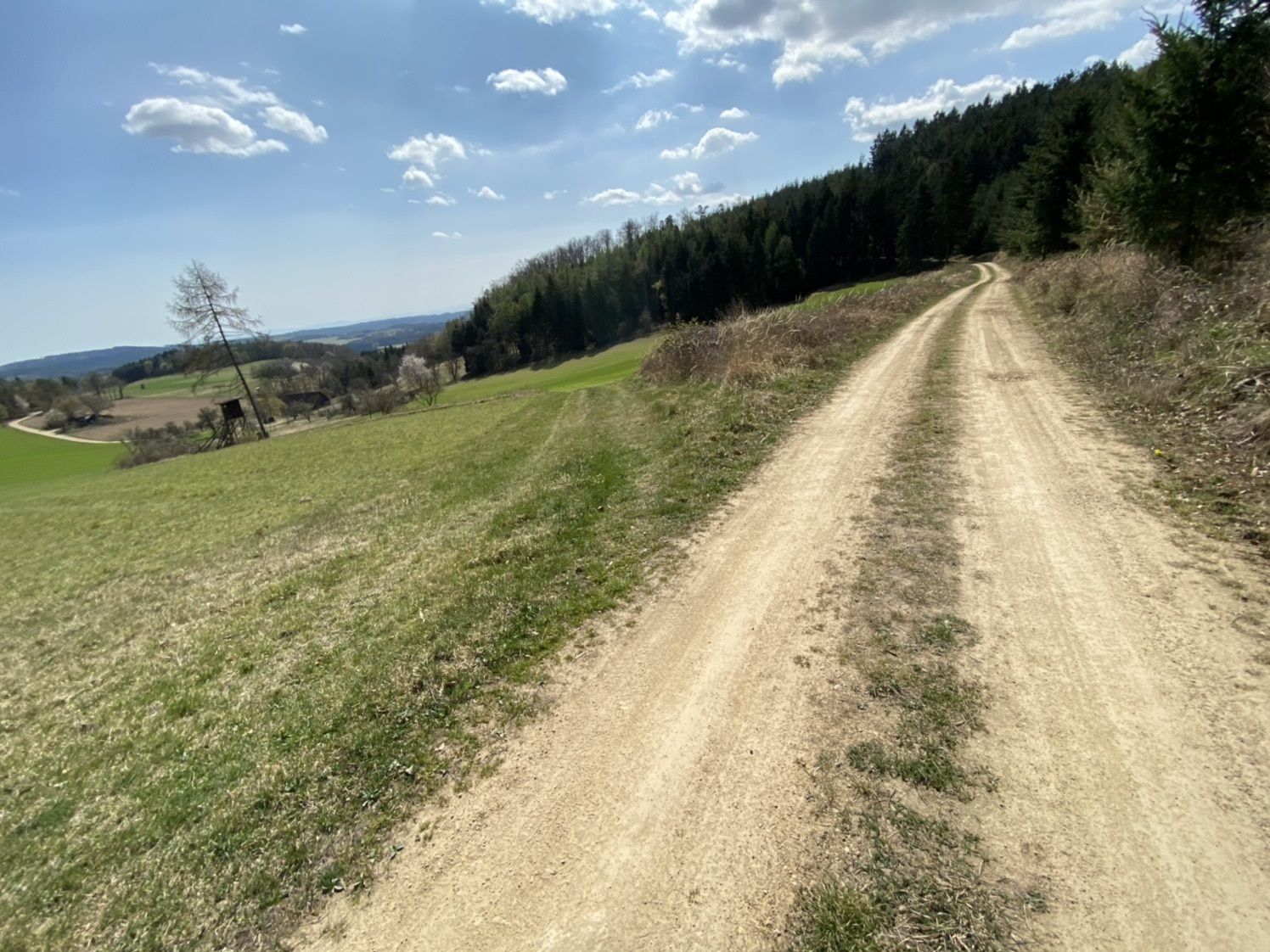
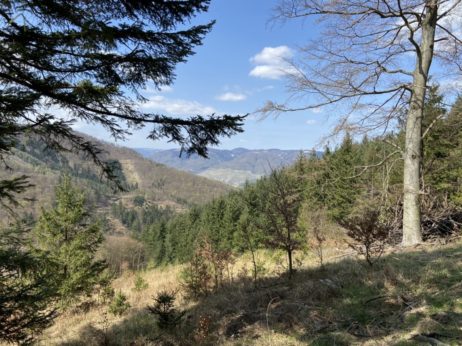
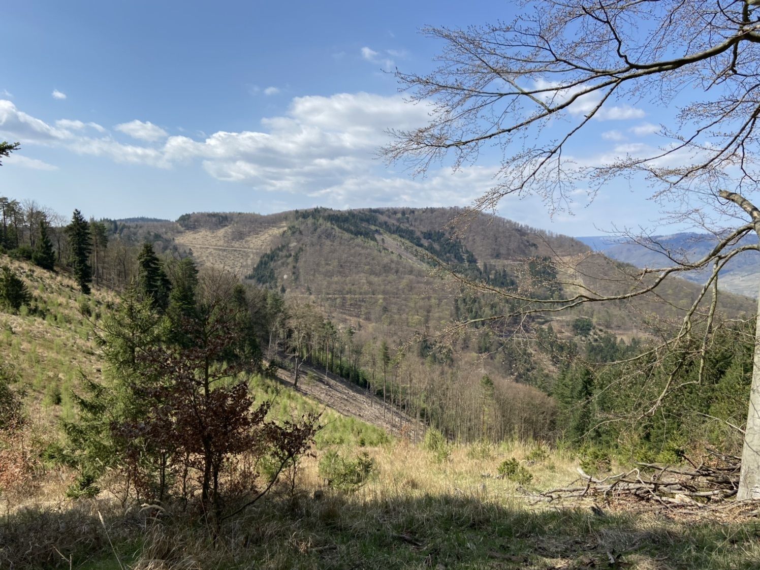
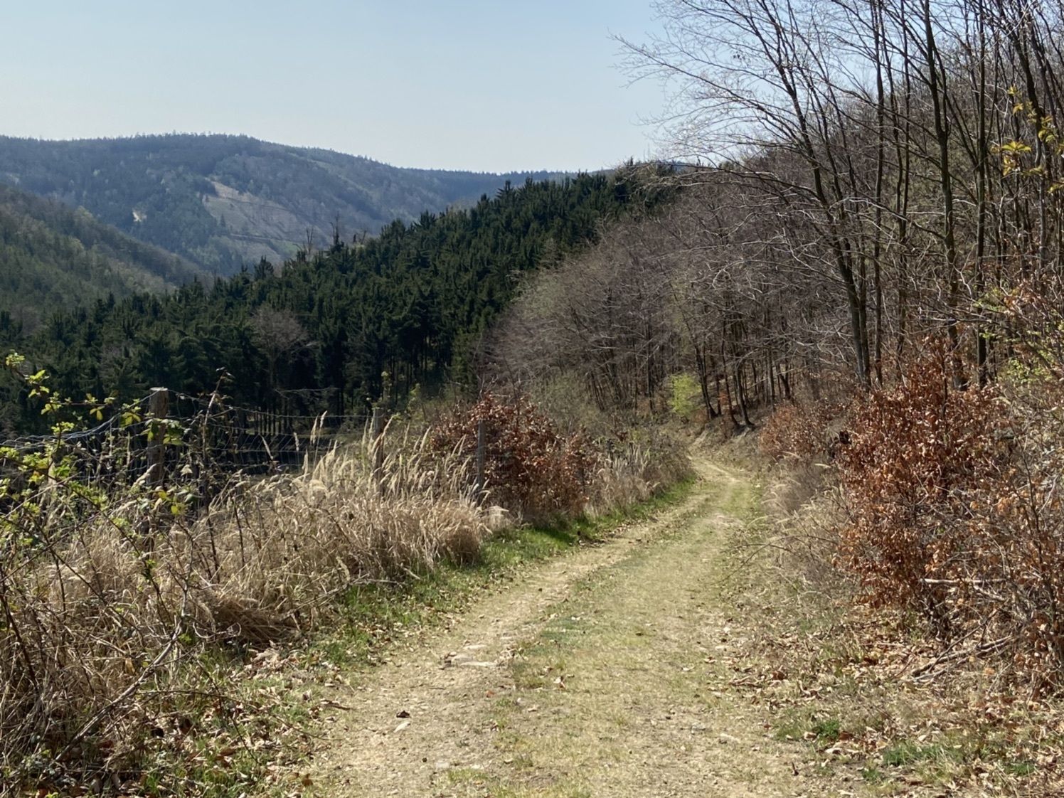
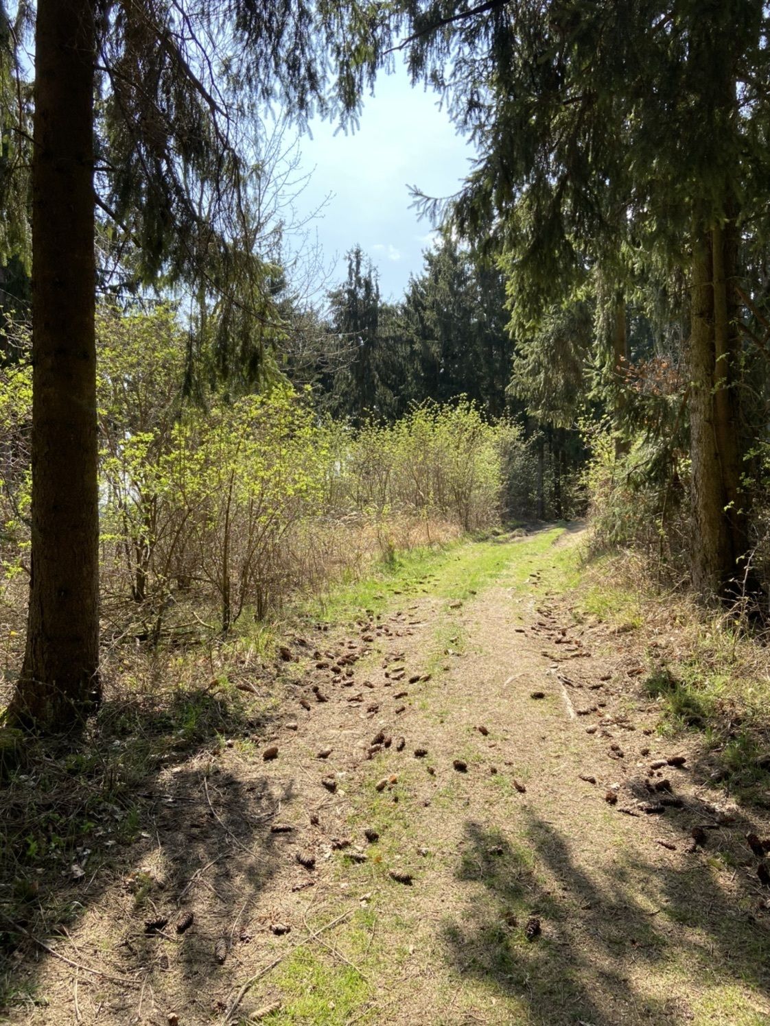
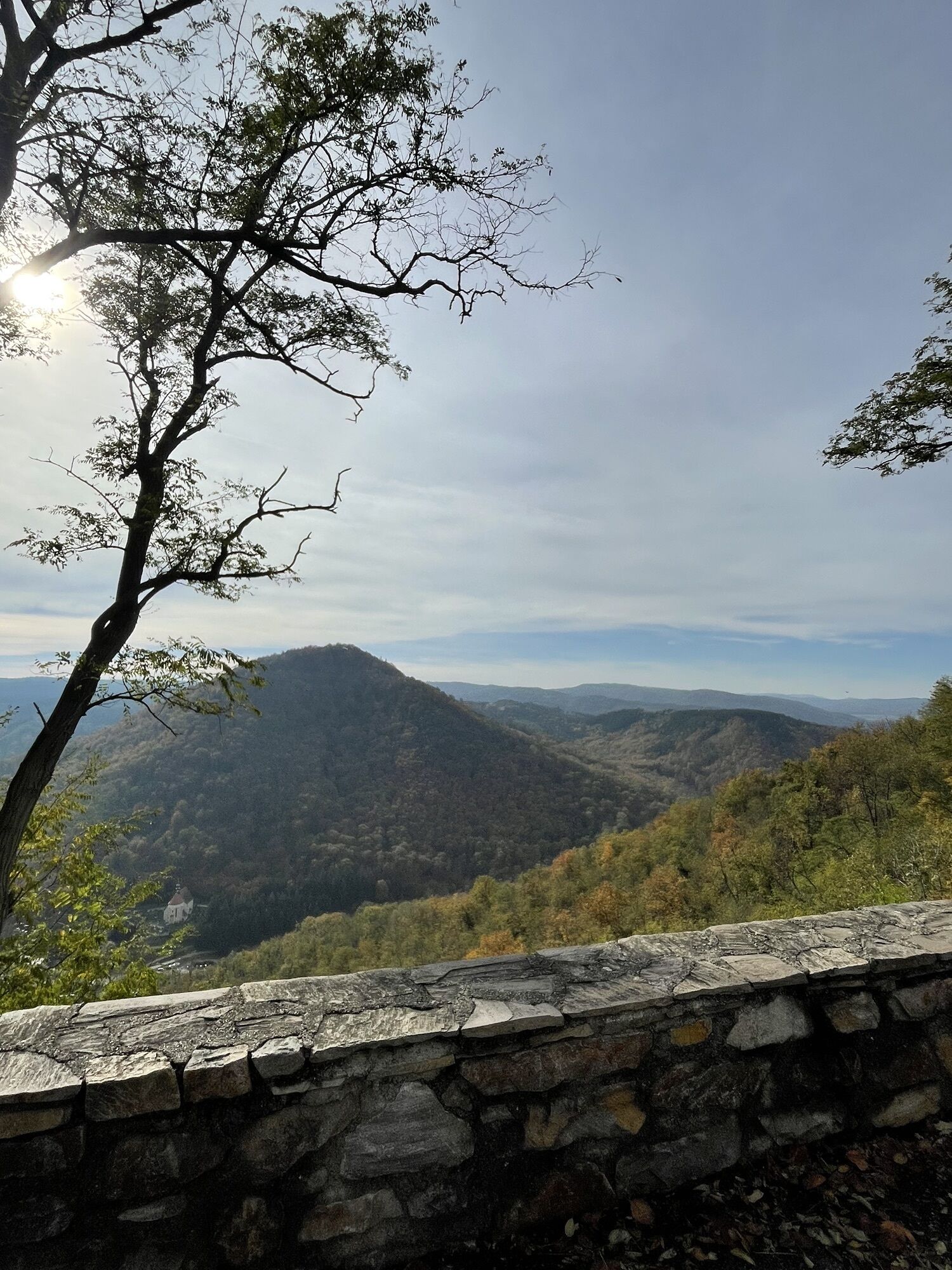
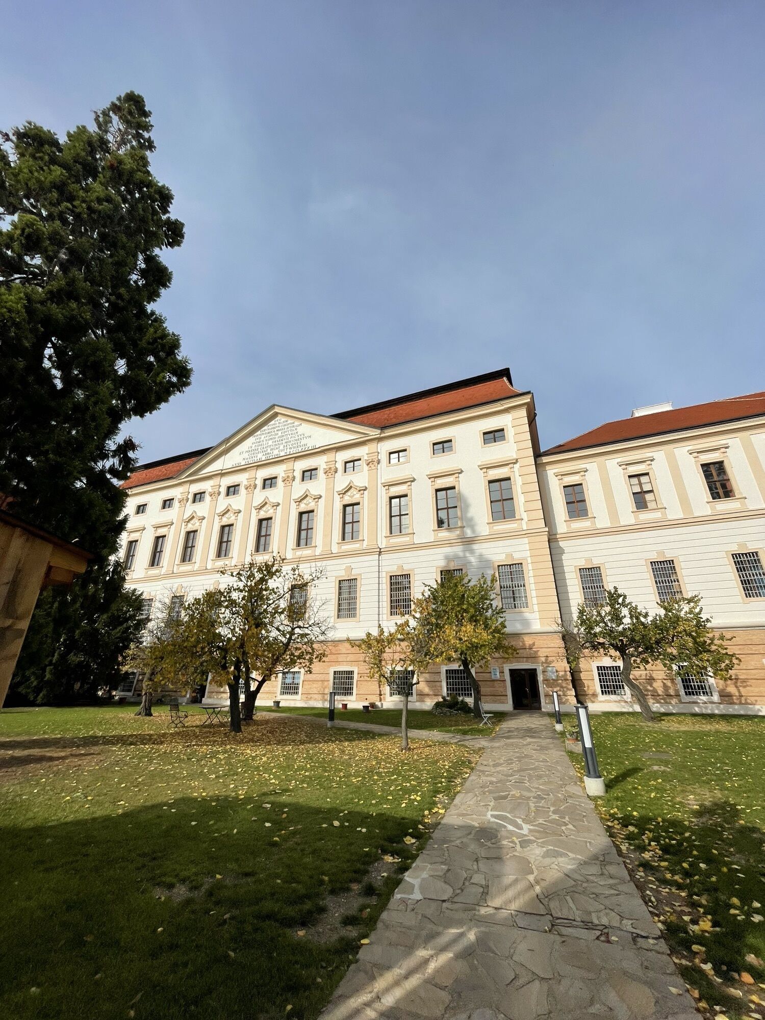
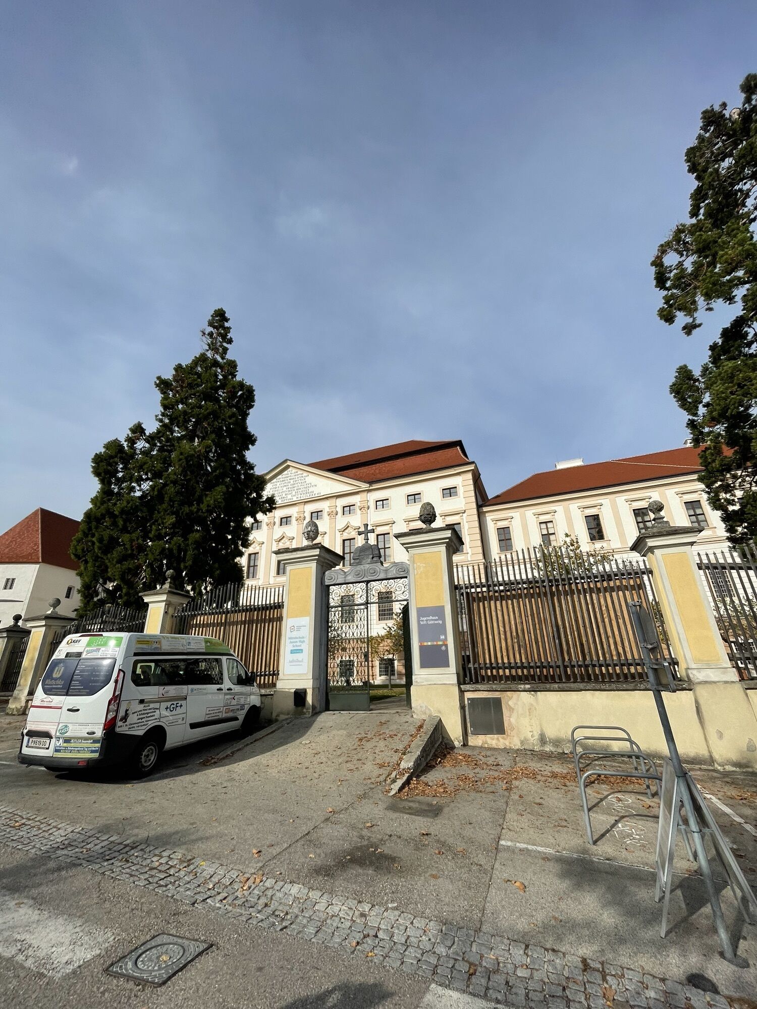
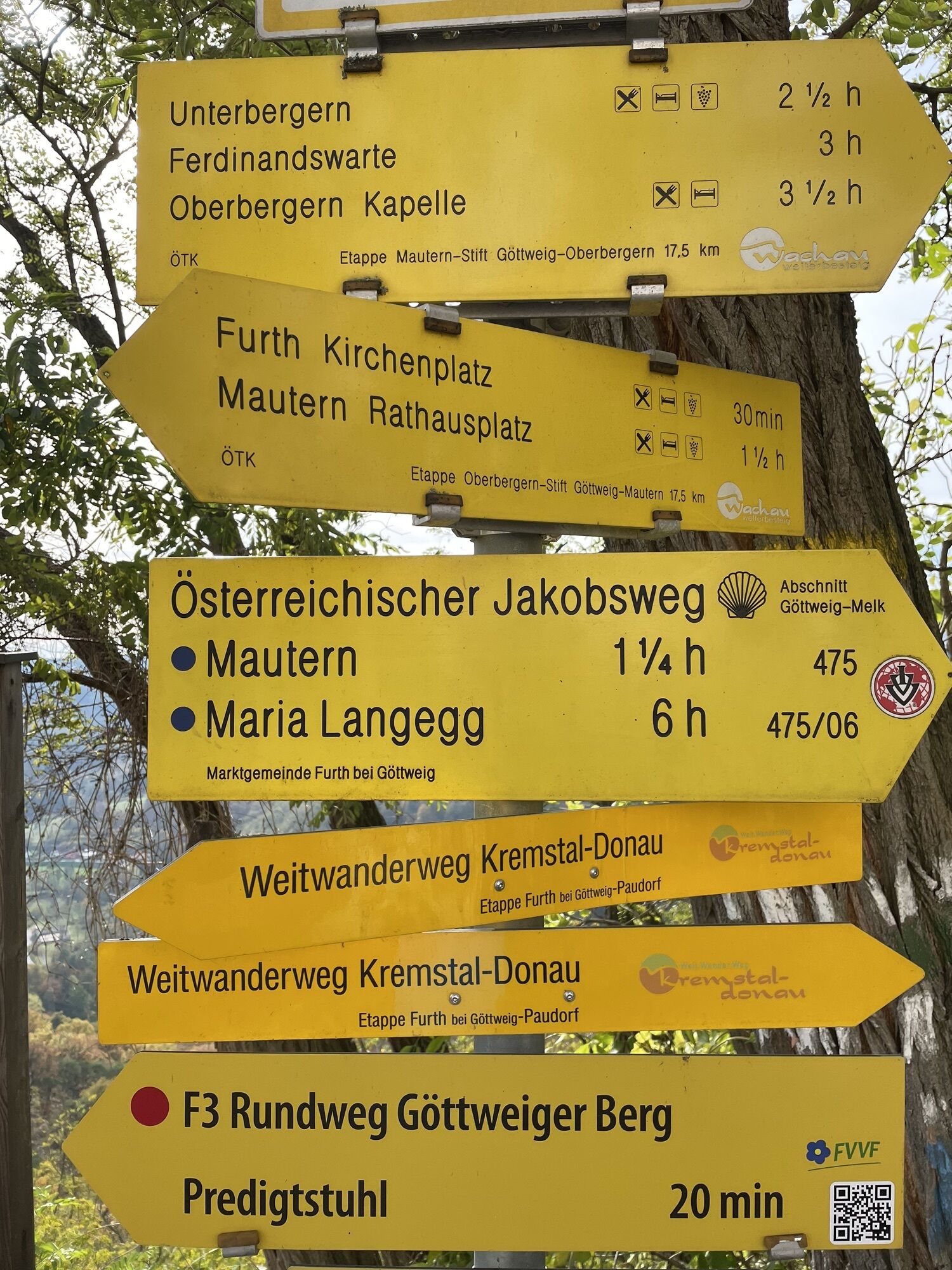
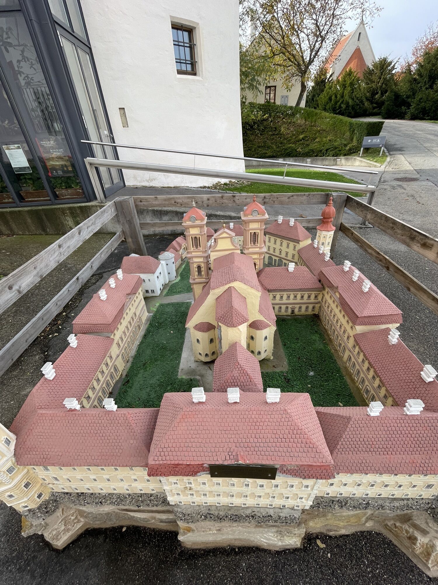
<p>Those who want not only to walk but also to reflect inwardly walk the Austrian Jakobsweg: from the famous Göttweig Abbey to Melk Abbey and then continuing from Melk through the Nibelungengau to Persenbeug.</p><p>From Göttweig Abbey, known as Austria's "Montecassino", founded in 1083 by Saint Altmann, Bishop of Passau, and handed over to the Benedictines in 1094, the Jakobsweg leads us down the slope to Aigen (path no. 475). Here we cross the railway line and pass through hollow paths and across a plateau to the left past Furth. On paved farm roads, we walk through splendid vineyards to Mautern. Before the barracks in Mautern, we turn left and walk through the beautiful village.</p><p>Continuing on the road (path 06) to Mauternbach. At the end of Mauternbach, we turn right and continue to pilgrimage along the steep path towards Ferdinandswarte. Here we are on a section of the Roman road, also called Limes road. Well-preserved artifacts can be seen in the Roman museum in Mautern. On the well-marked path, we pass the junctions to Ferdinandswarte and Unterbergern. Shortly before Oberbergern, you can continue straight towards Maria Langegg or go via Oberbergern (path 06), where there is an inn for a rest.</p><p>After about 1 km, we reach the Jakobsweg fork. Here you can once again enjoy a beautiful view of Göttweig Abbey. After a pleasant rest, we continue on path B20 into the mystical depths of the Dunkelsteinerwald. The pilgrimage path passes the "Seven Graves" (Illyrian-Celtic burial mounds) and the "Red Cross", an old wayside shrine, continuing to Schoberstein and "Herrnplatzl" (path no. 653). We go left towards Kreuzberg (path B10). At Kreuzberg, we have a beautiful panoramic view, and there is also a moon sculpture. The pilgrimage path continues mostly through the forest over the "Kastlkreuz" to the pilgrimage site Maria Langegg.</p>
<p>Basic equipment for pilgrimage routes:</p>Sturdy, comfortable, and waterproof hiking boots or approach shoesClothing in multiple layers with moisture transportHiking socksBackpack (with rain cover)Sun, rain, and wind protection (hat, sunscreen, waterproof and windproof jacket and pants)SunglassesTelescopic polesEnough provisions and drinking waterFirst aid kit with blister plastersBlister plastersBivouac sack/Survival bagEmergency blanketHeadlampPocket knifeSignal whistleMobile phoneCashNavigation device/map and compassEmergency contact detailsIdentity cardDevotional items and necessary materials<p>Overnight stay in a hostel:</p>Hygiene articles and medicationTravel towelEarplugsSleeping bag linerSleepwearPilgrim ID cardCoronavirus mask and hand sanitizer<p>The lists for "basic equipment" and "technical equipment" are compiled based on the chosen activity. They do not claim to be complete and serve only as suggestions of what you should pack.</p><p>For your safety, you should carefully read all instructions on the proper use and maintenance of your equipment.</p>
<p>Please observe the following tips and notes so that your hiking holiday becomes a pleasant experience:</p>Stay on the marked paths.Wear good footwear.Carry enough drinking water and possibly a snack with you.Please do not leave your trash on the trail.Respect the sensitive habitats of plants and wildlife.<p>Walking/using the suggested route is at your own risk and responsibility.</p>
<p>A1: Via the S33 from St. Pölten, exit Mautern, following signs to Furth.</p><p>S5: From Vienna to Krems, then to Mautern, following signs to Furth.</p>
<p>Bus connections between the Melk and Krems train stations to Mautern - connection to Westbahn and Franz-Josefsbahn are available. On weekends, a call bus runs Krems-Mautern-Furth-Göttweig Abbey. You can find all bus connections at <a href="www.vor.at">www.vor.at</a&...
<p>Sufficient parking is available at Göttweig Abbey or at the Park & Ride facility in Furth-Palt.</p>
The sub-section of the Jakobsweg Weinviertel flows into the Wachau section in Mautern, and from Melk to Ybbs into the Nibelungengau section.
Inspiration for your individual accommodation search can be found here.
The following excursion destinations invite you to visit:
Göttweig Abbey
Roman Museum Mautern
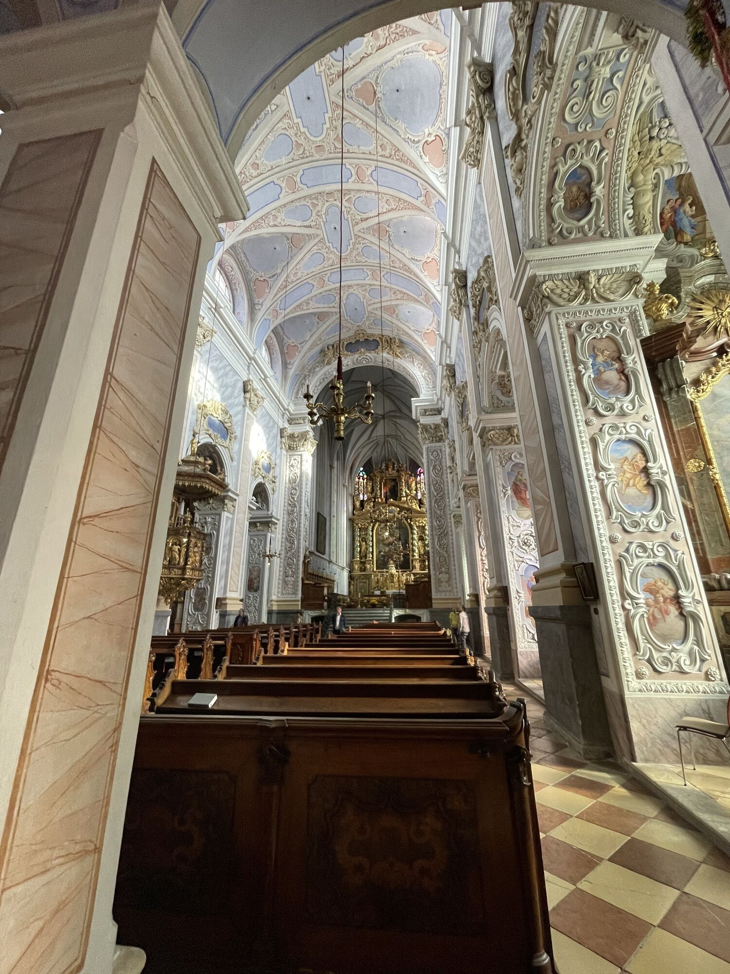
Pilgrimage Church Maria Langegg
Obtenez un aperçu Toujours en direct avec plus de 9.500 webcams. En tant qu'utilisateur Pro, vous pouvez désormais voir les webcams correspondantes à de nombreuses randonnées dans l'application de randonnées de bergfex. Vous pouvez ainsi voir directement les conditions actuelles.Parcours populaires à proximité
- 4,6
Welterbesteig Wachau 02: Dürnstein-Weißenkirchen
facileChemin de Grande Randonnée 15,9 km - 4,4
Welterbesteig Wachau 03: Weißenkirchen-Spitz
facileChemin de Grande Randonnée 10,4 km - 4,6
Welterbesteig Wachau 01: Krems-Dürnstein
facileChemin de Grande Randonnée 12,3 km - 4,9
Vogelbergsteig -Kanzel- Fesselhütte - Ruine Dürnstein zum Heurigen in Furth
moyenRandonnée 7,59 km - 4,7
Rundhöhenwanderweg Weißenkirchen in der Wachau - Schildhütten - Cholerakreuz - Weißenkirchen
facileRandonnée 8,75 km - 4,7
Wachau: Seekopf - Hirschwand
moyenRandonnée 10,4 km - 4,6
Krems (Welterbesteig) - Dürnstein - Vogelbergsteig - Kanzel - Fesslhütte - Krems
moyenRandonnée 18,0 km - 4,5
Panoramaweg Weissenkirchen
facileRandonnée 5,04 km - 4,5
Maria Langegg - Rote Wand - Hoher Stein - Kastlkreuz
moyenRandonnée 11,4 km - 4,4
Wachauer Marillenerlebnisweg, Krems-Angern
facileRandonnée 6,04 km
Randonnée et suivi


Ne manquez pas les offres et l'inspiration pour vos prochaines vacances
Votre adresse électronique a été ajouté à la liste de diffusion.





