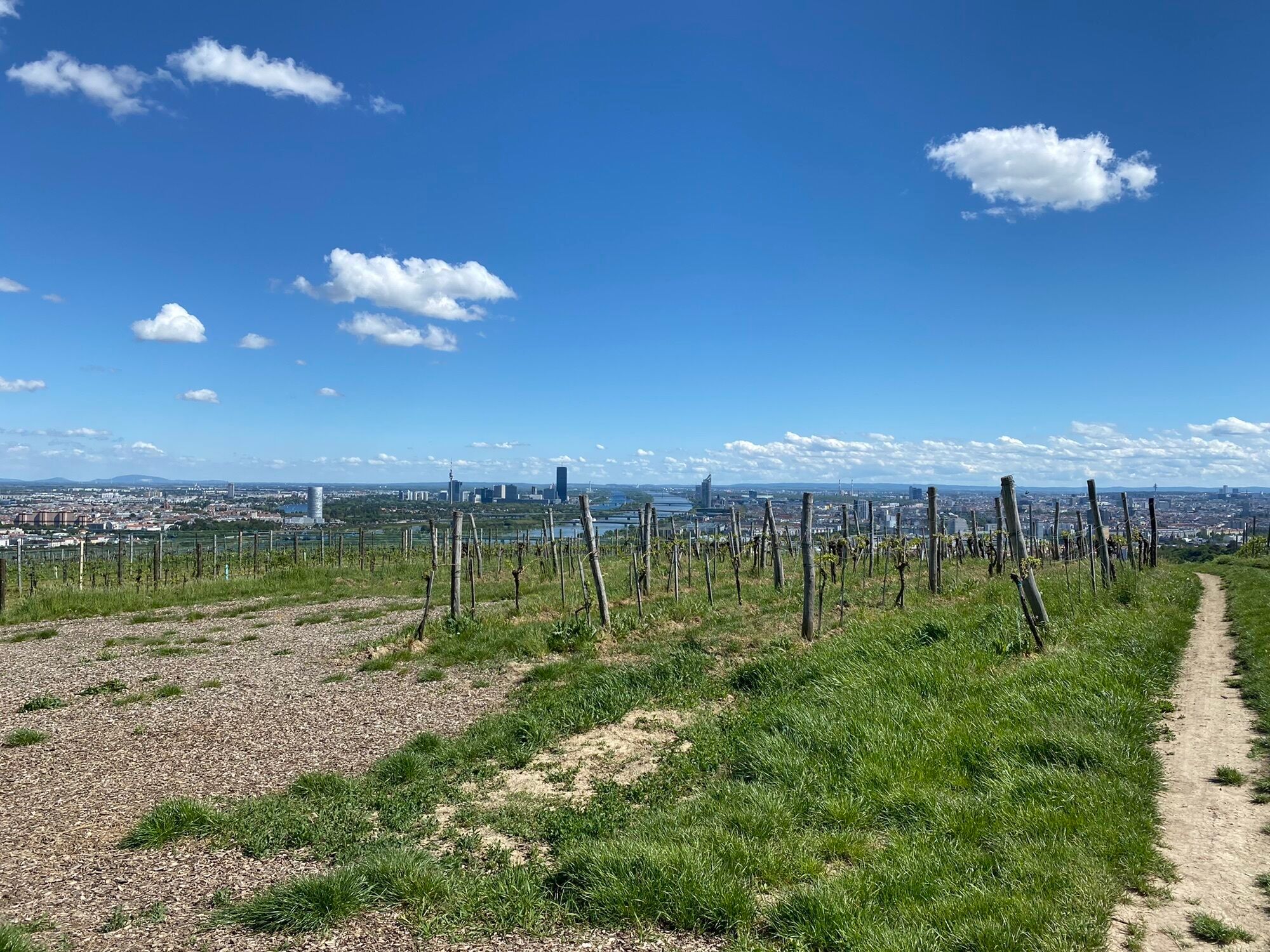
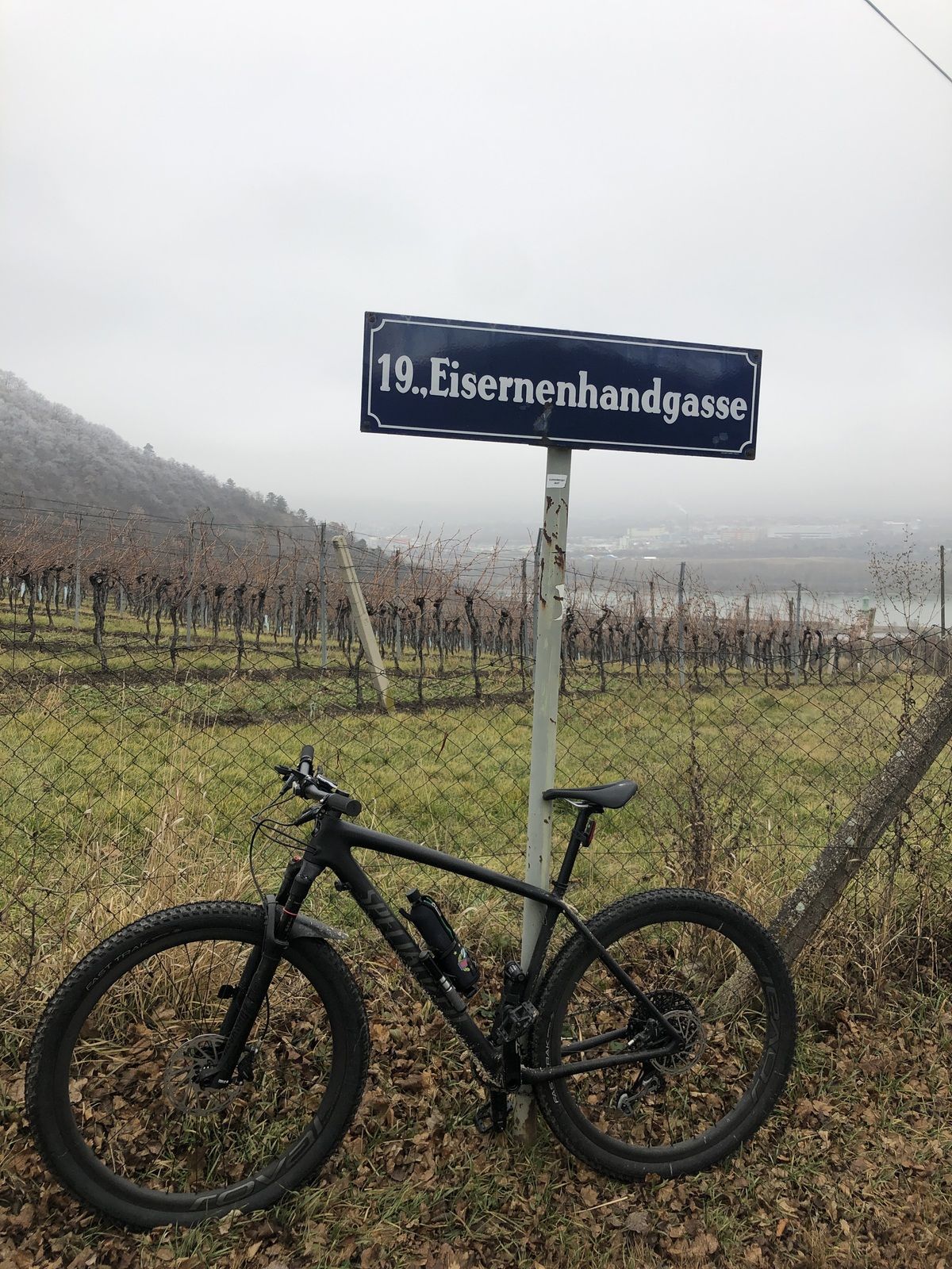
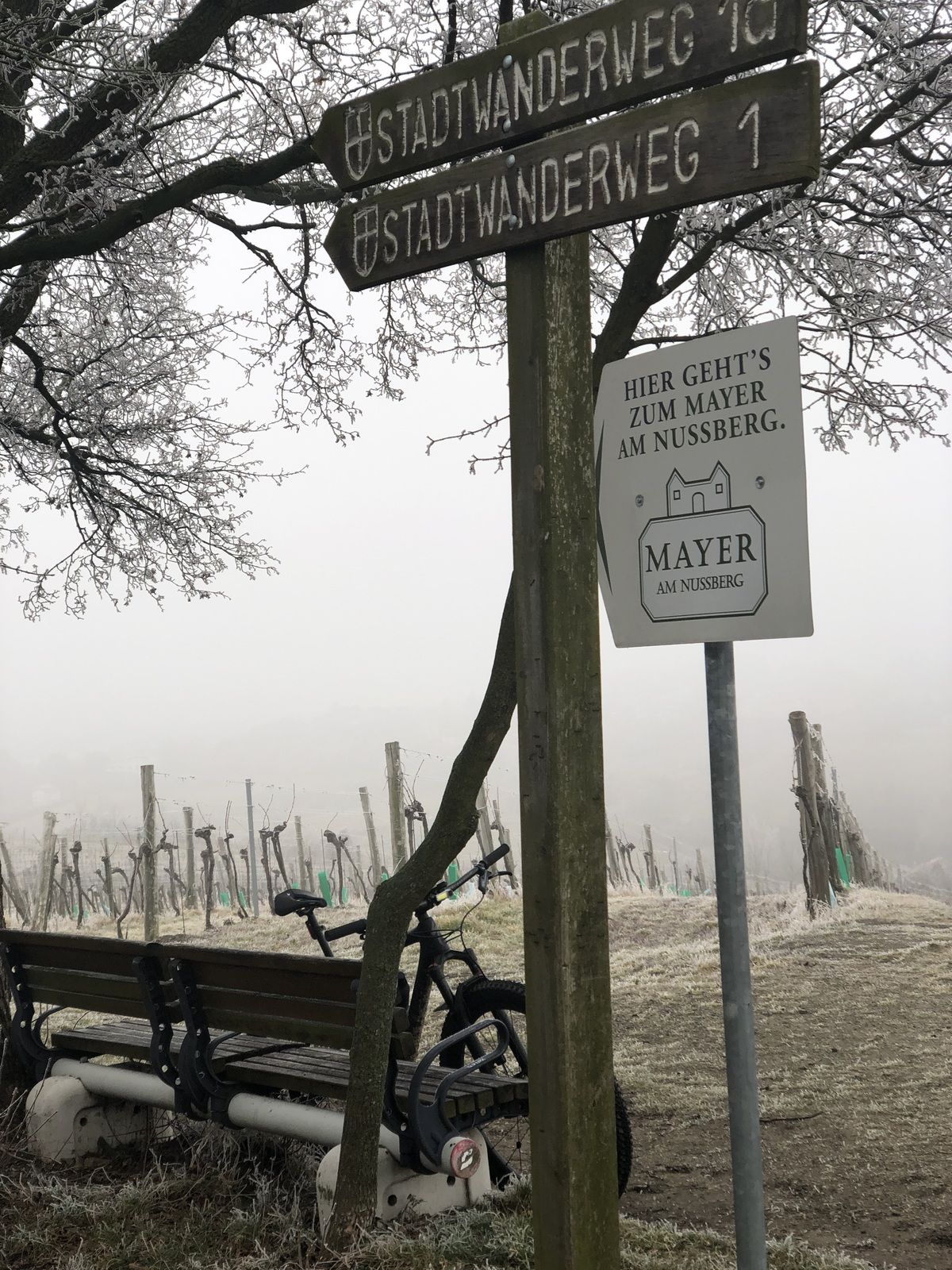
Eisernenhandgasse Kahlenbergdörfl
difficile
Télécharge cette visite sur ton portable
Eisernenhandgasse Kahlenbergdörfl
difficile
VTT
4,71
km
Scanner le code QR et commencer la navigation dans l'application bergfex

Randonnée & tracking


Eisernenhandgasse Kahlenbergdörfl
difficile
Distance
4,71
km
Durée
01:22
h
Ascension
200
m
Altitude
161 -
356
m
Téléchargement de la piste
Eisernenhandgasse Kahlenbergdörfl
difficile
VTT
4,71
km

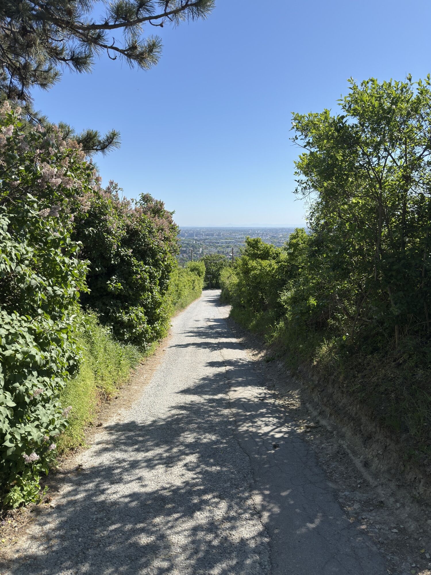


Nicht sehr lange, aber vom Beginn weg, stetig steil (max . 24%)
Parcours
Parcours
Eisernenhandgasse Kahlenbergdörfl
difficile
VTT
4,71
km
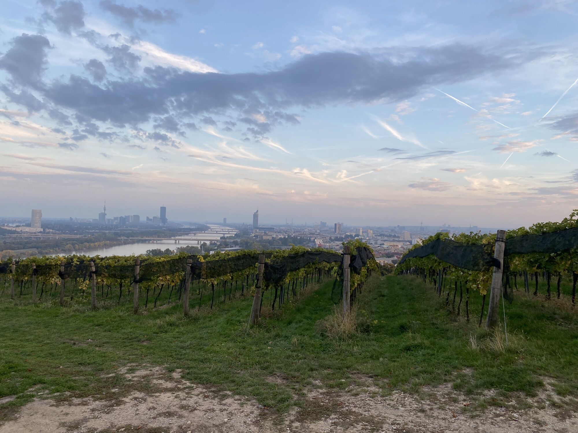
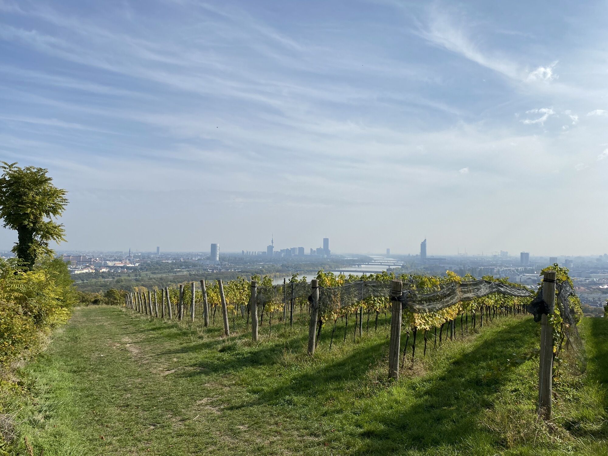
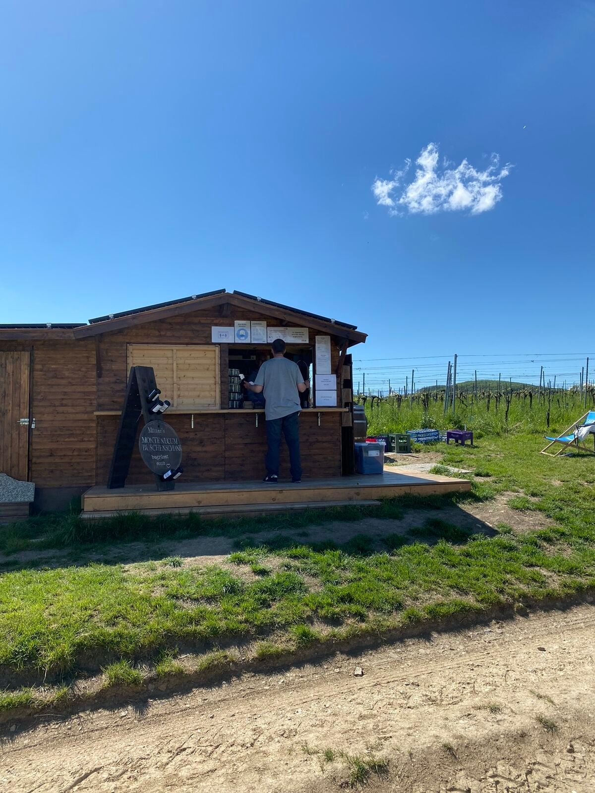
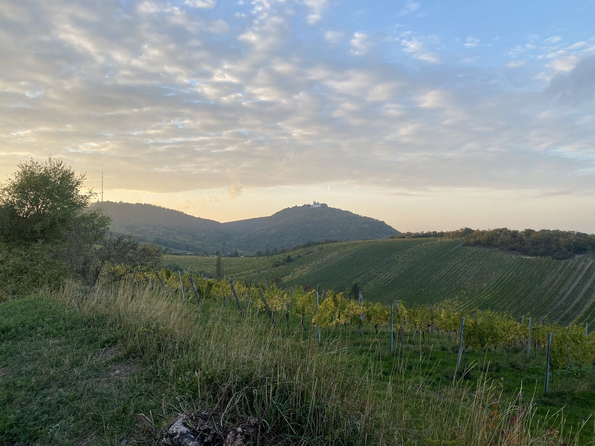
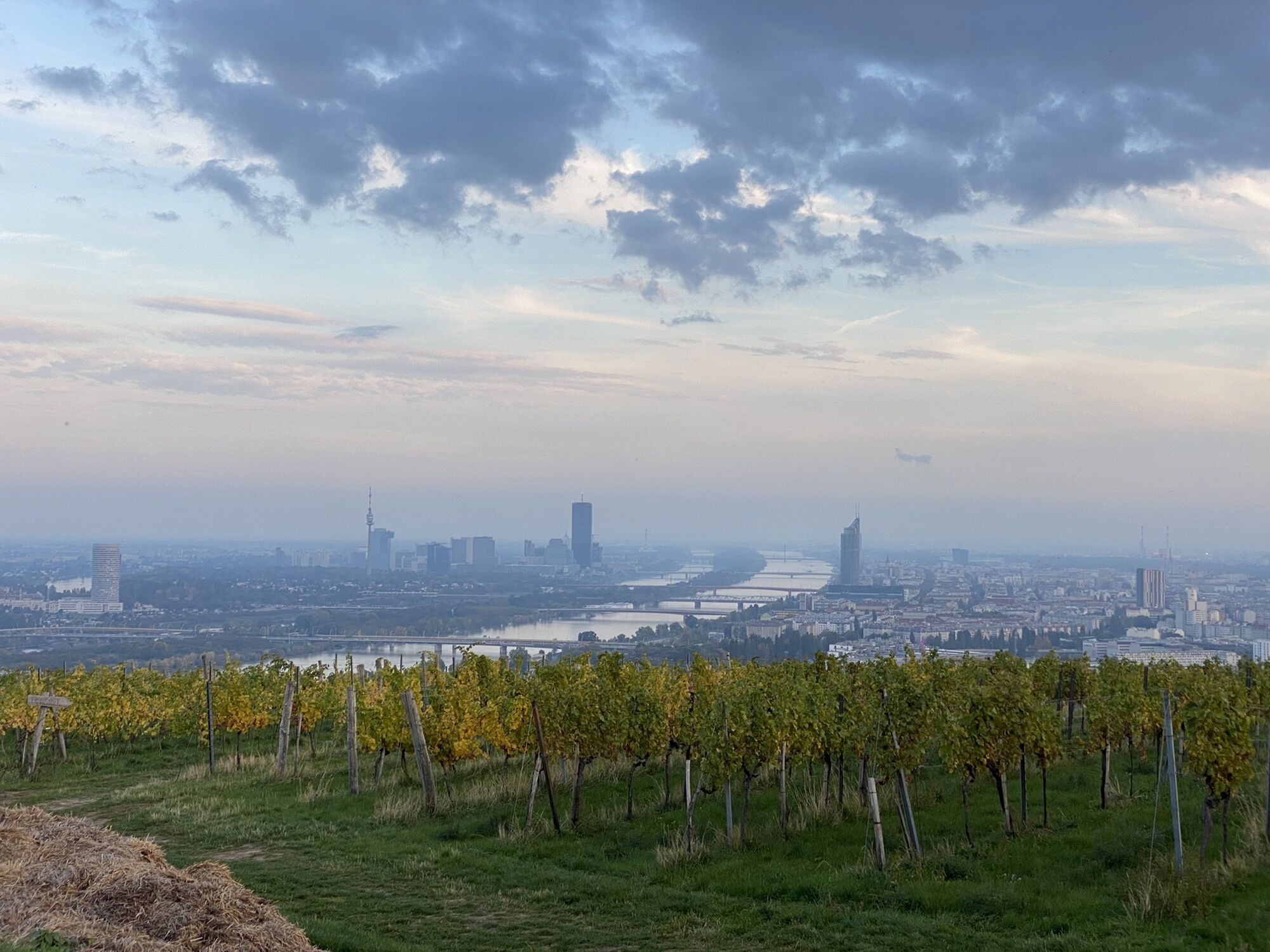
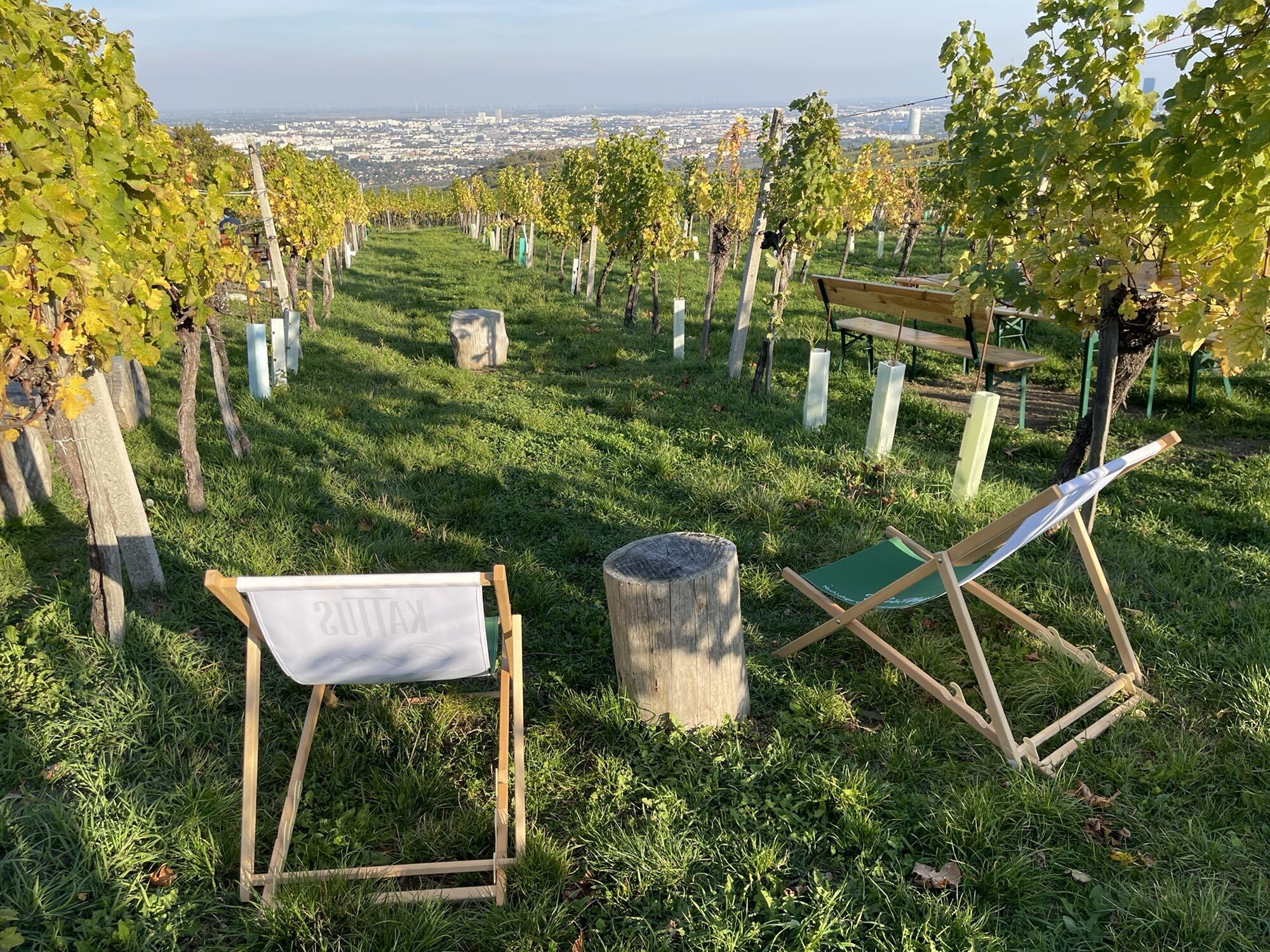
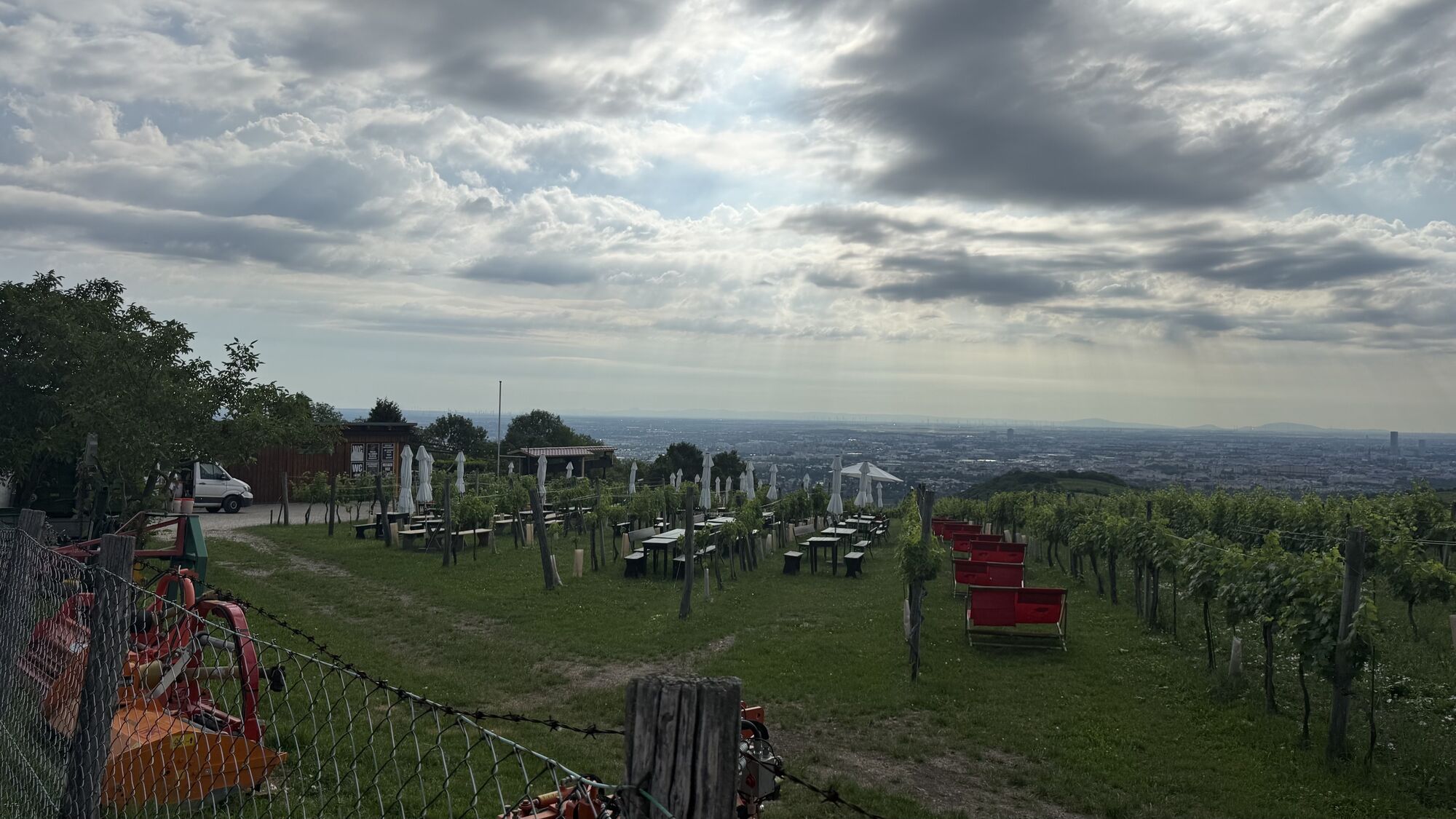
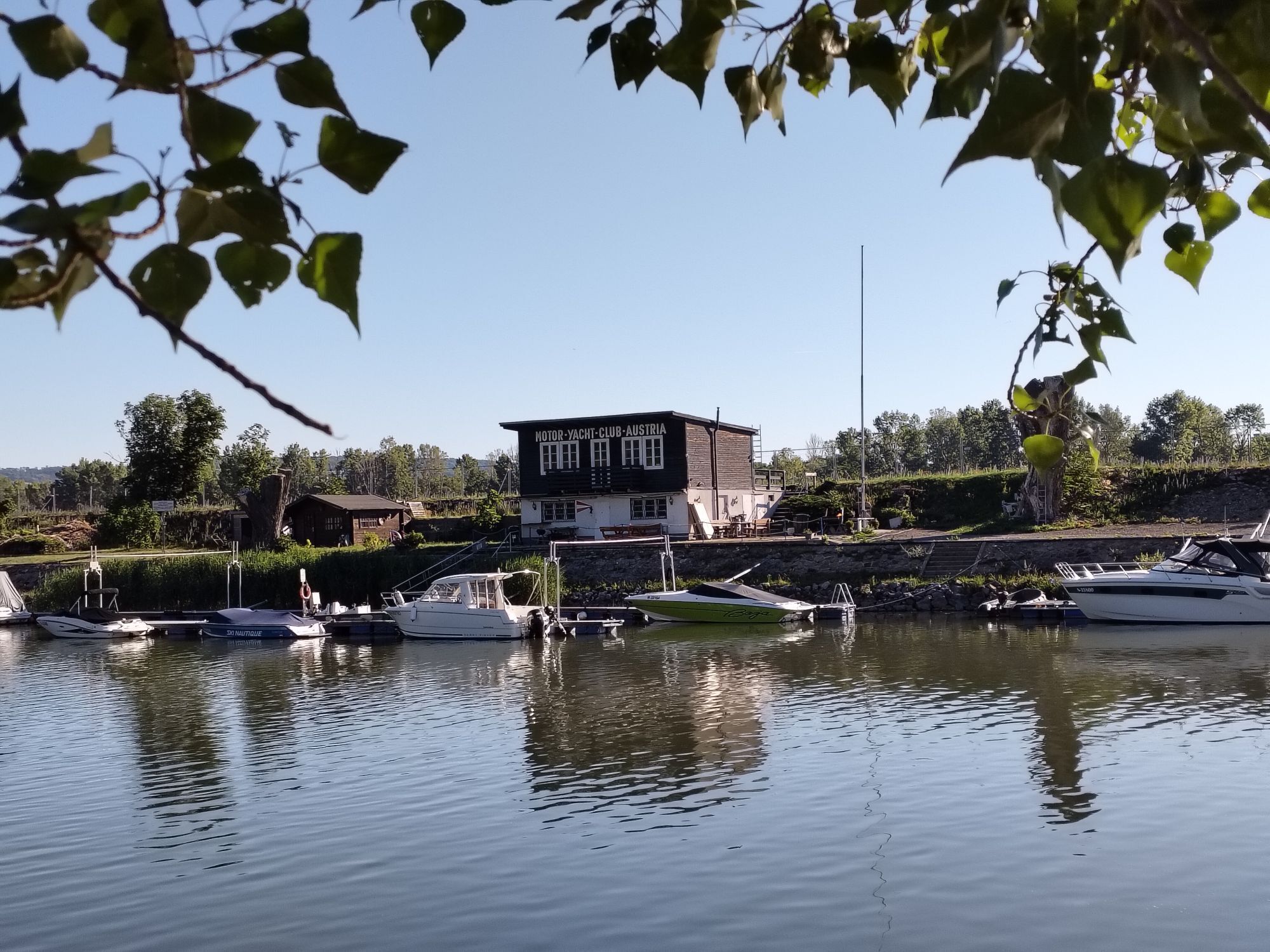
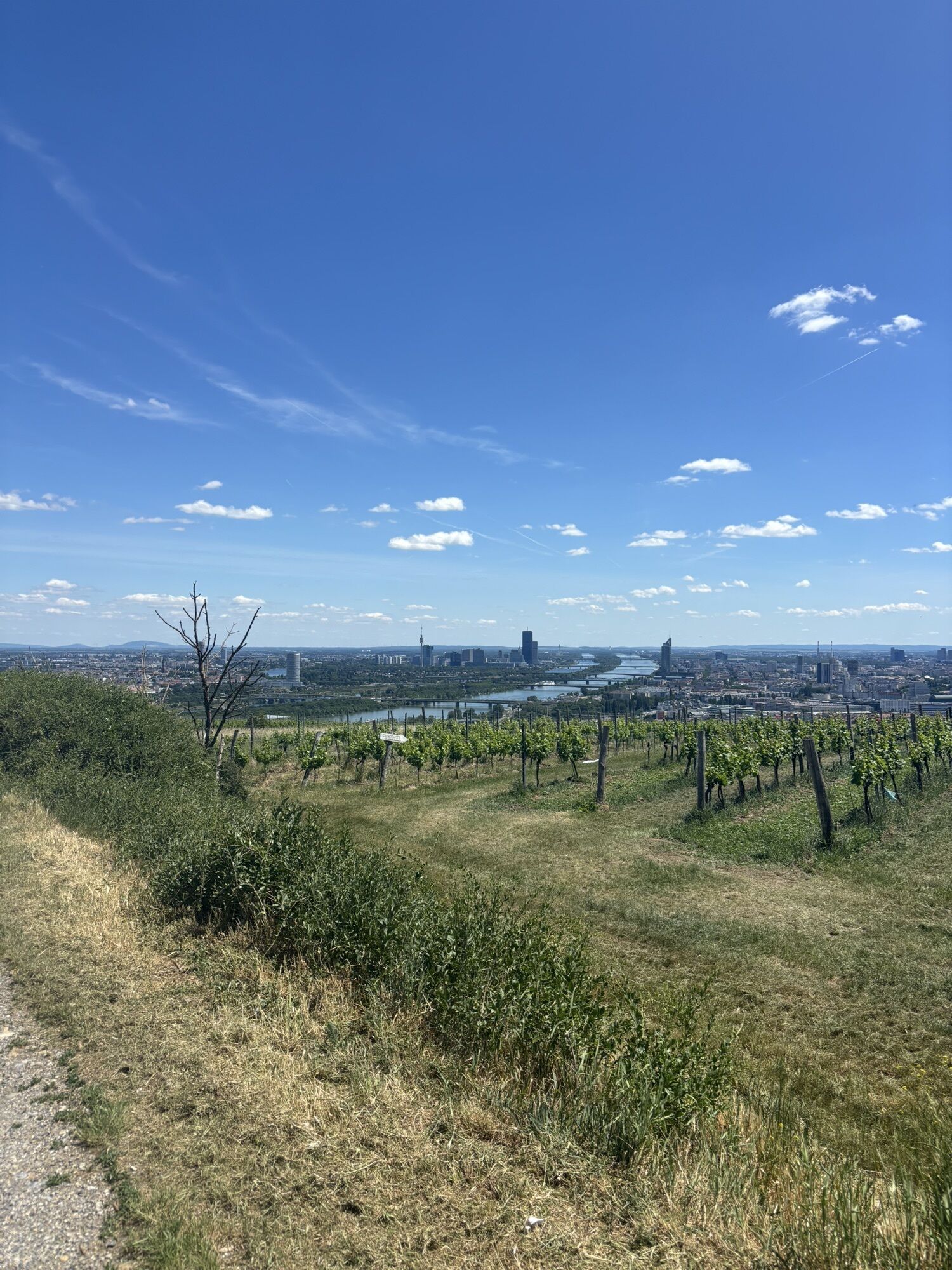
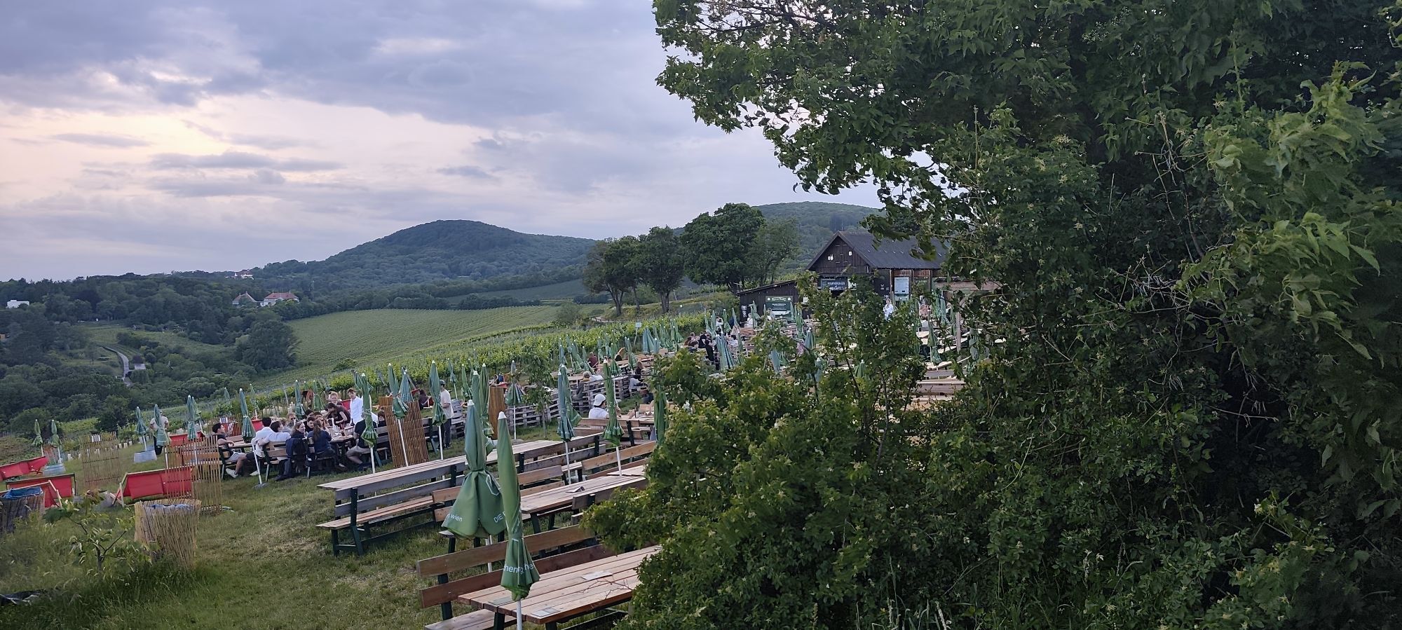
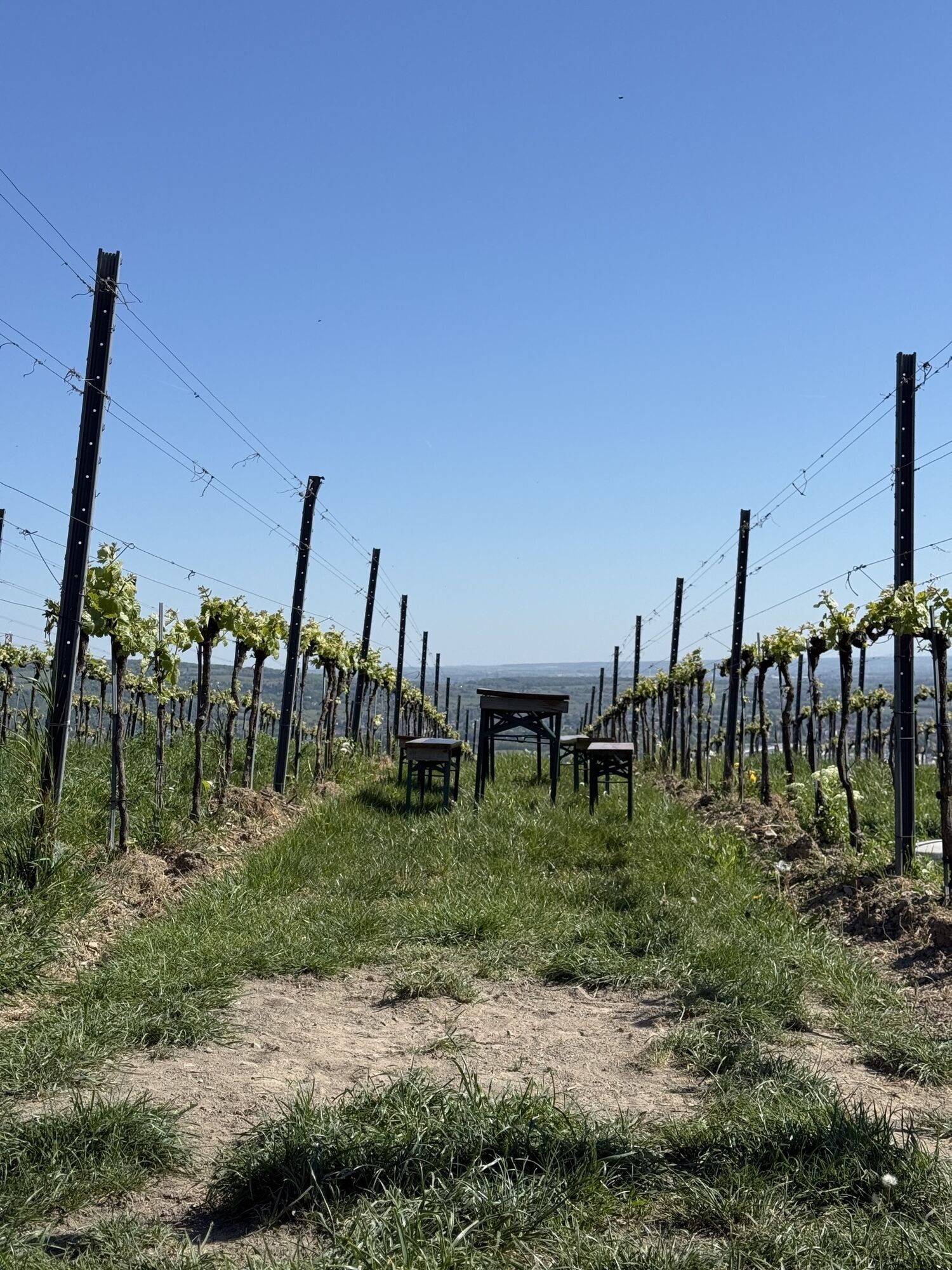
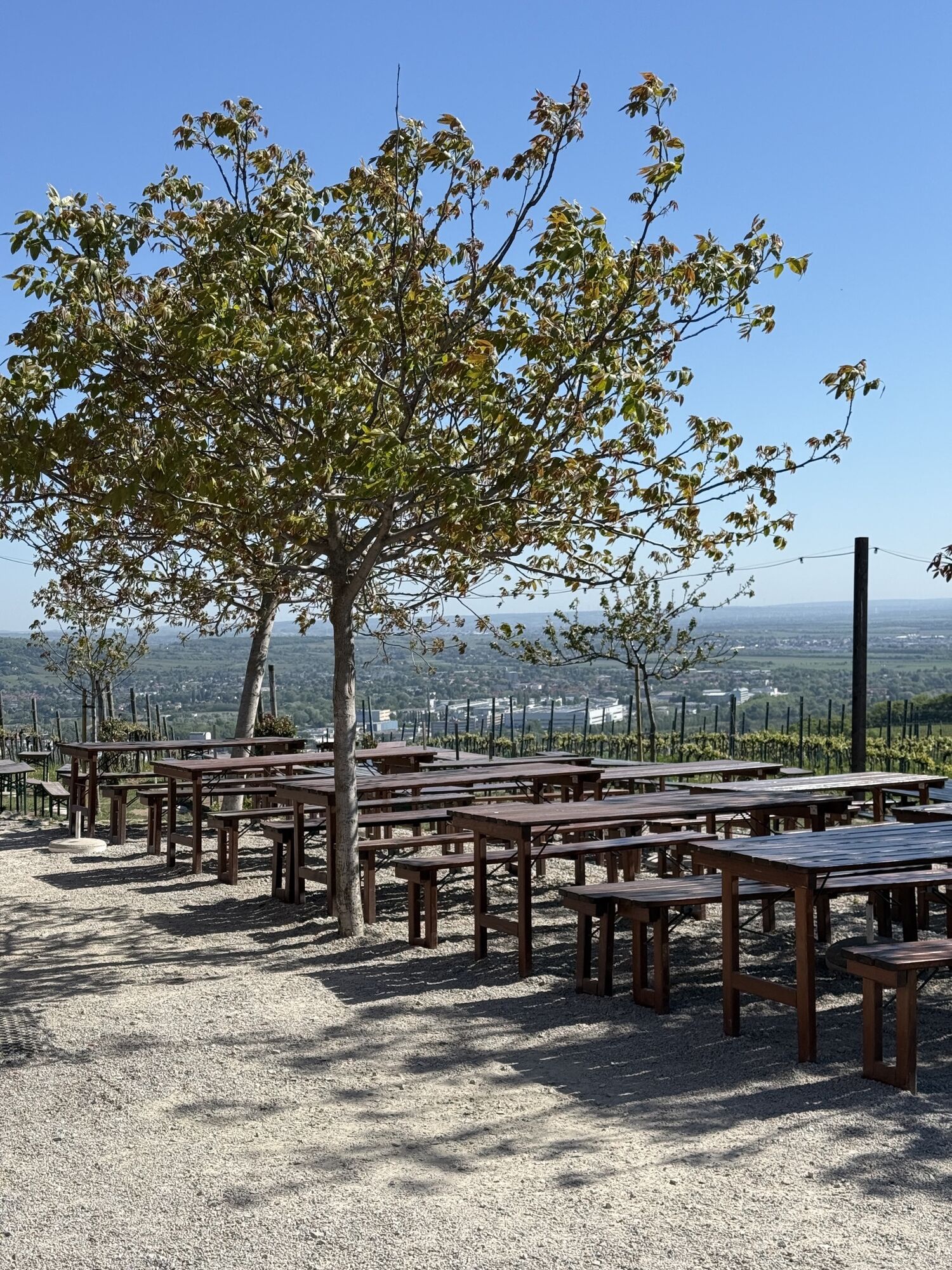
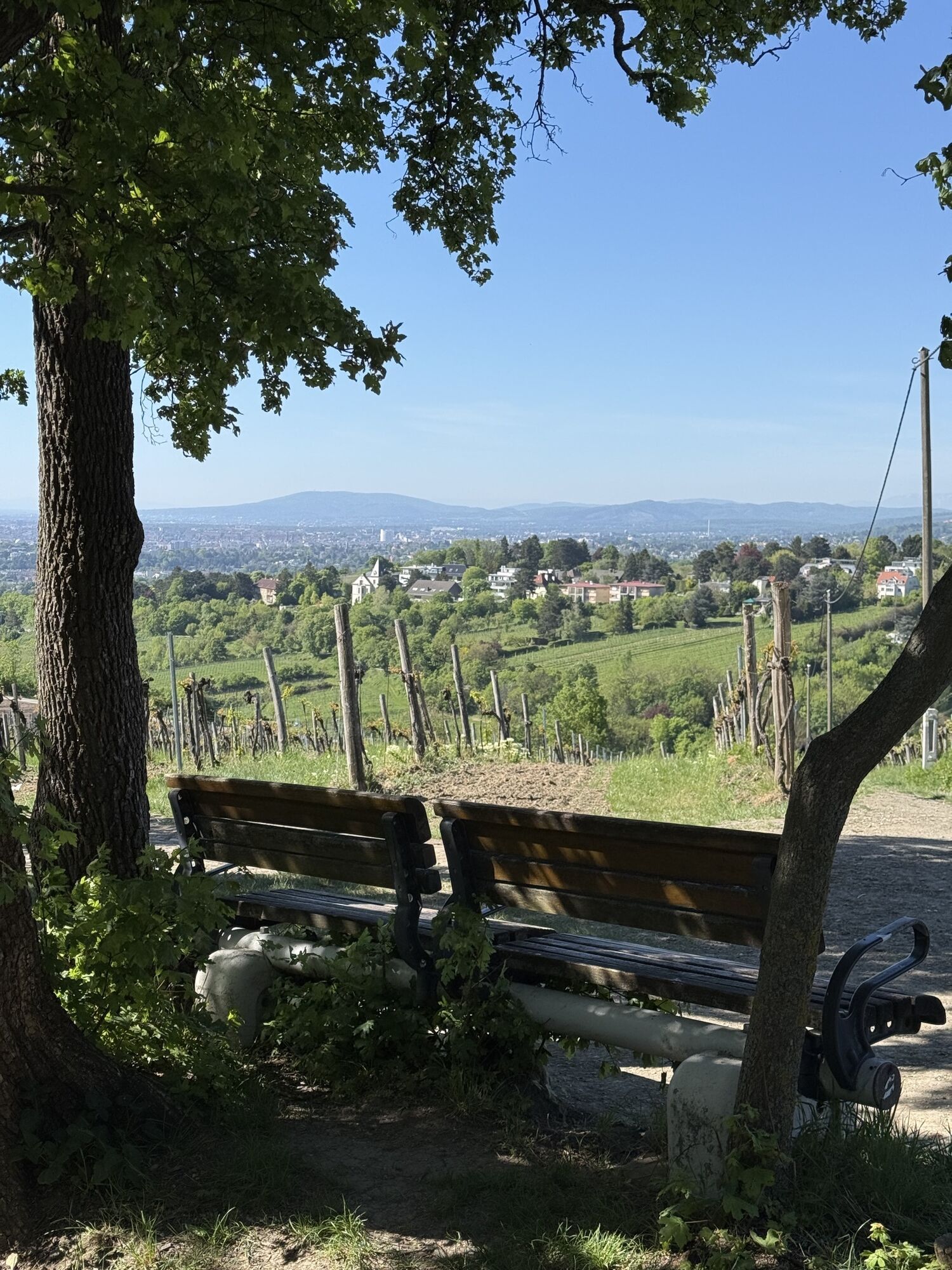
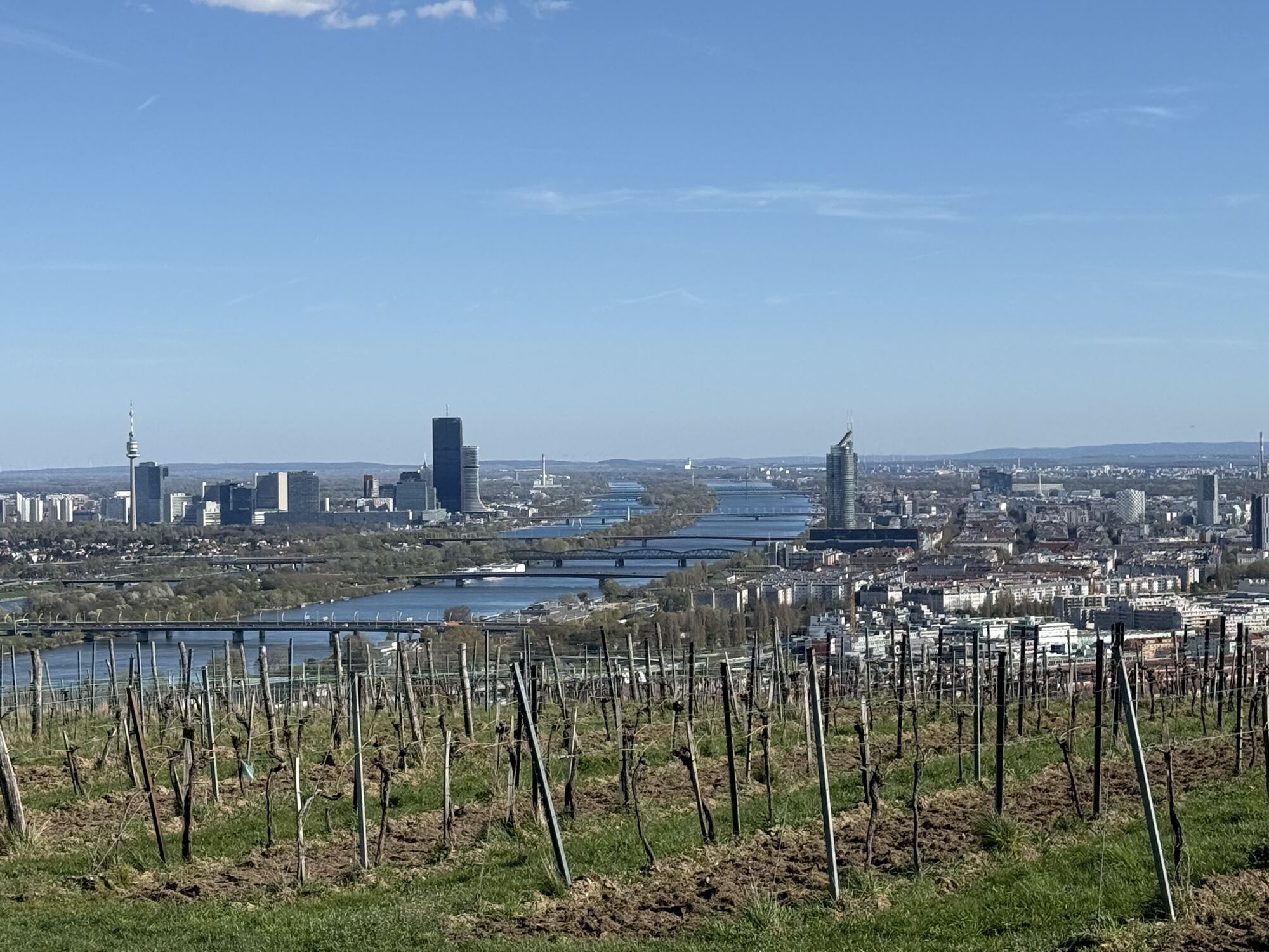
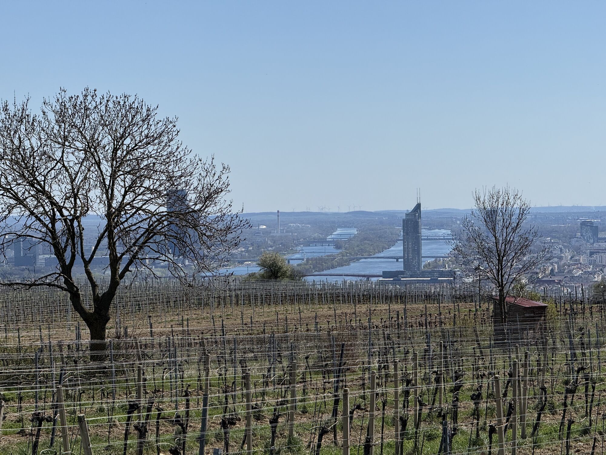
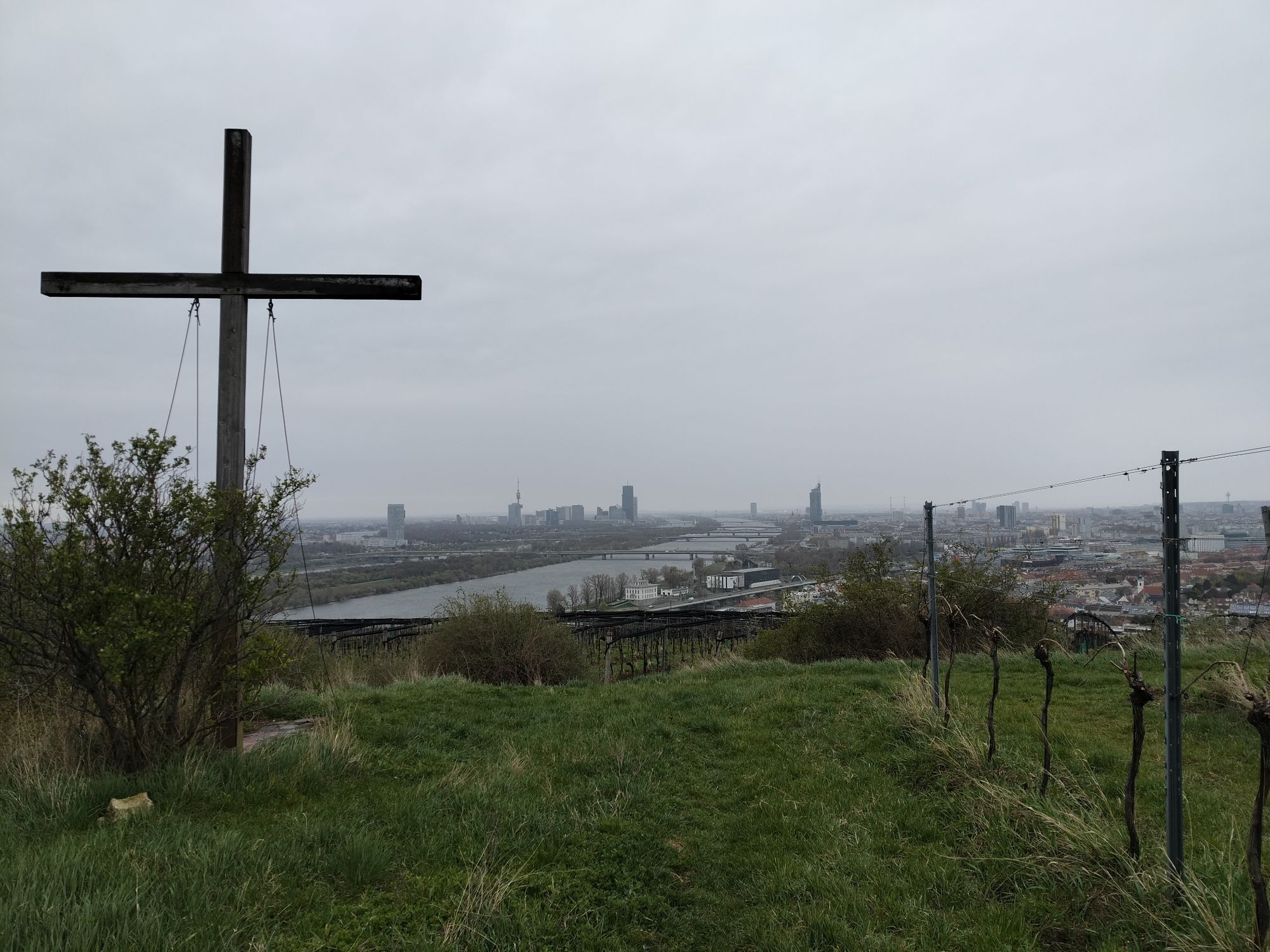
Flamingo Marina
(164 m)
Restaurant
0,0 km
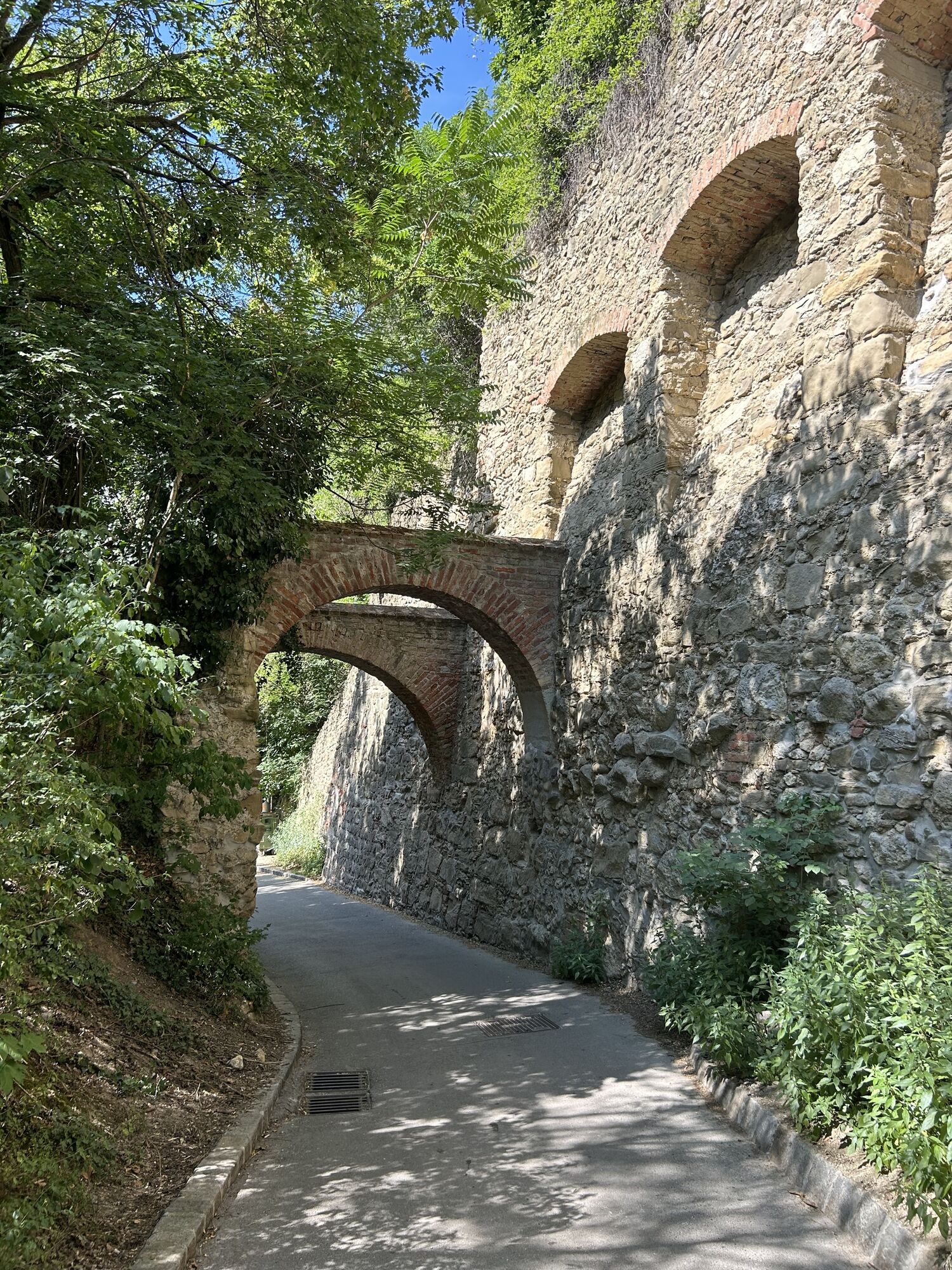
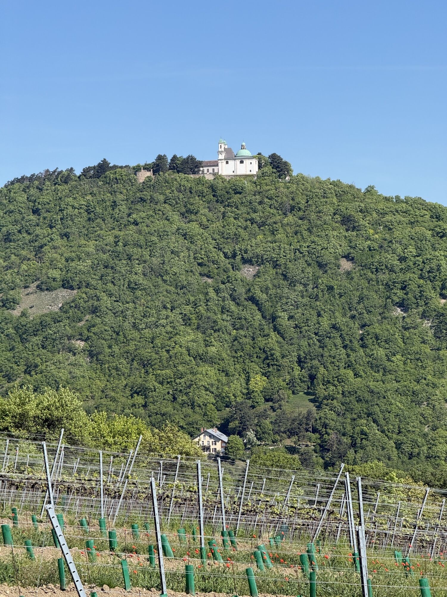
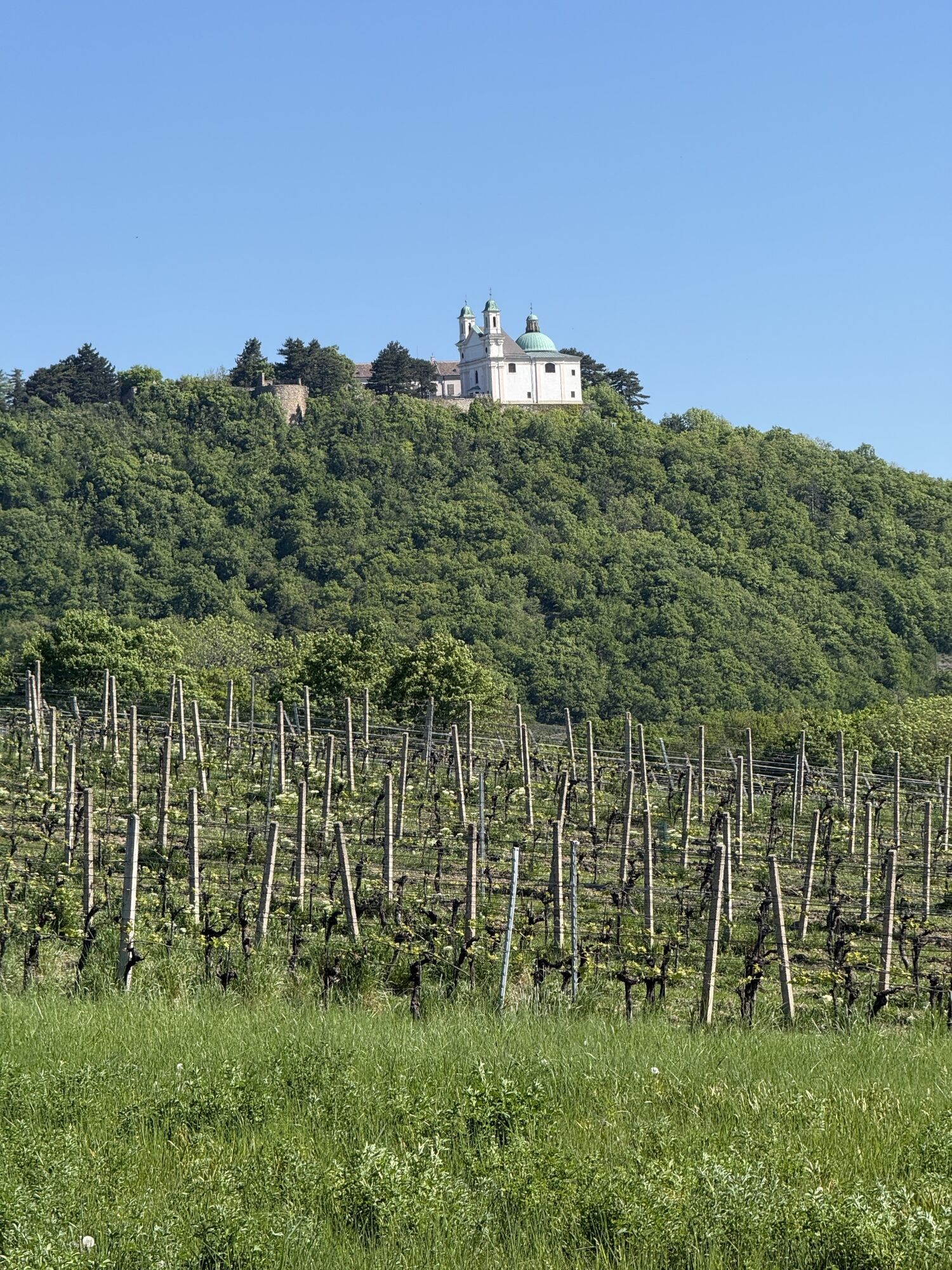
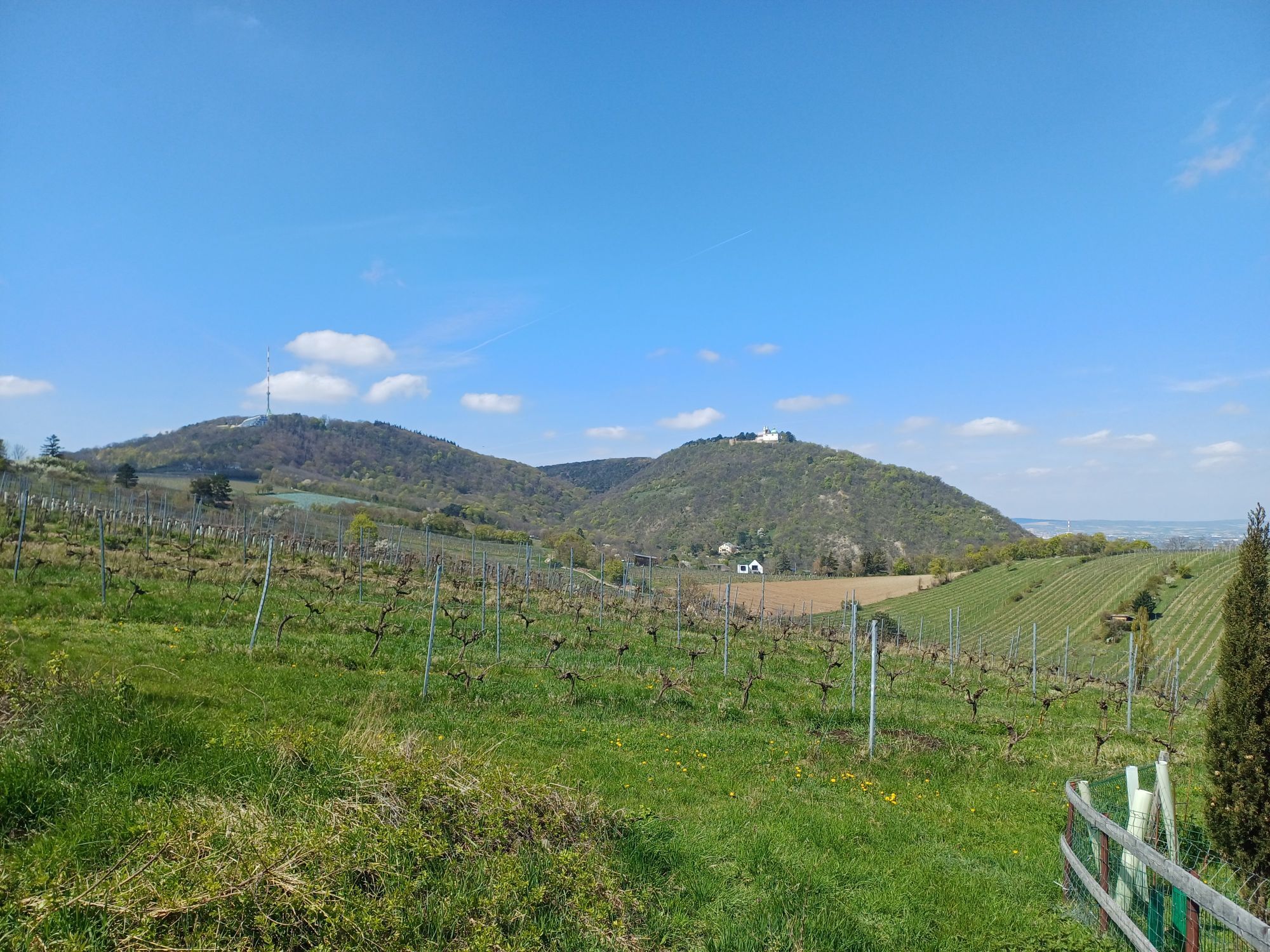
Pfarrkirche St. Georg
(180 m)
Lieu de culte
0,7 km
Kahlenbergerdorf
(174 m)
Quartier
0,7 km
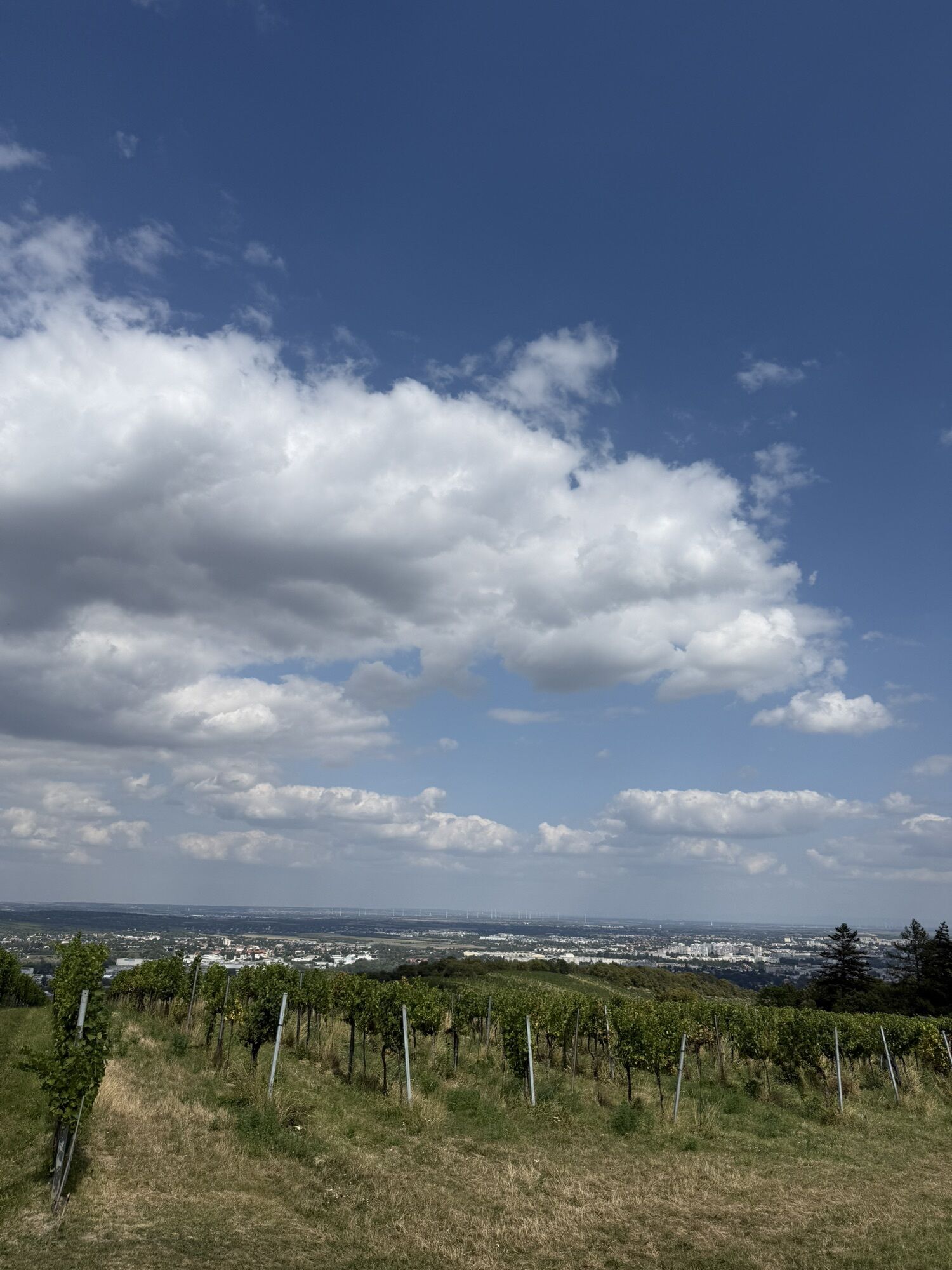
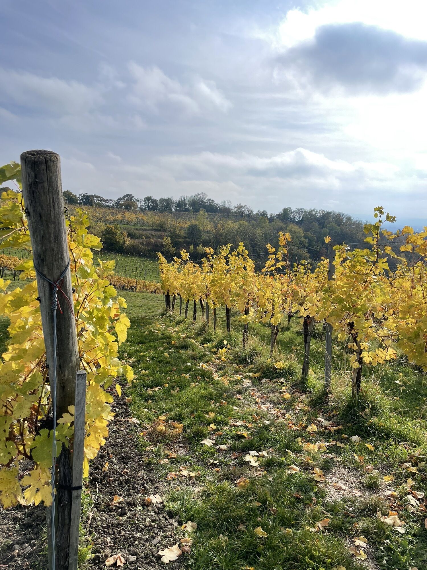
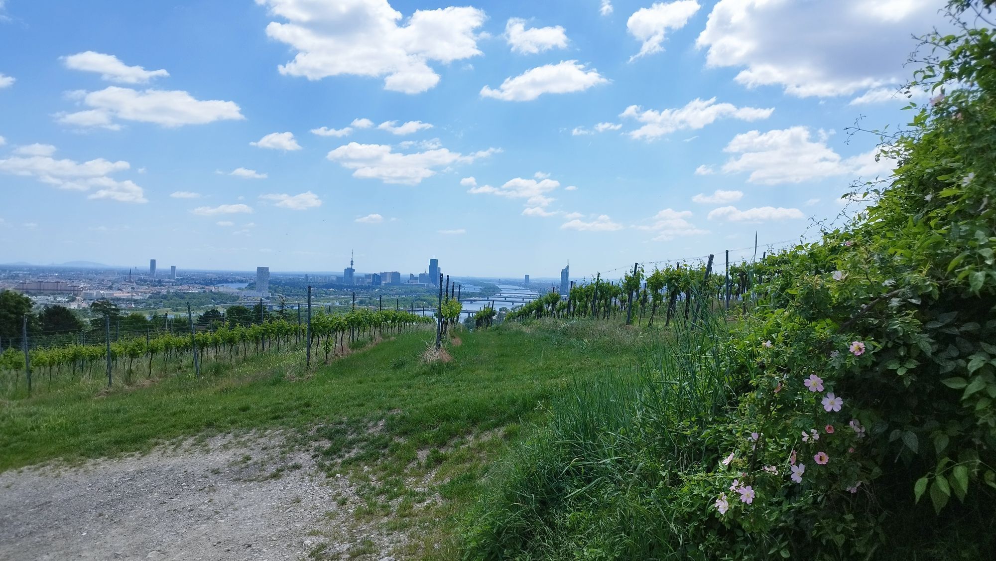
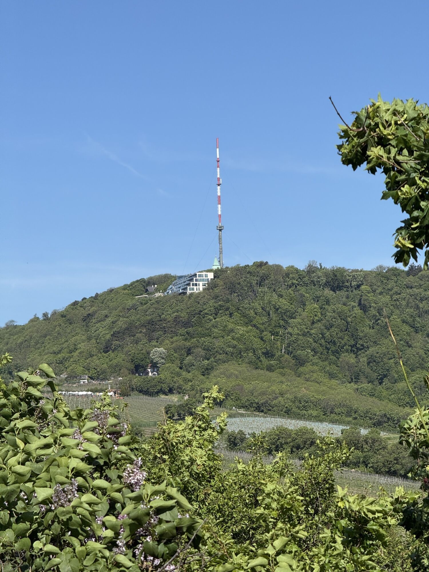
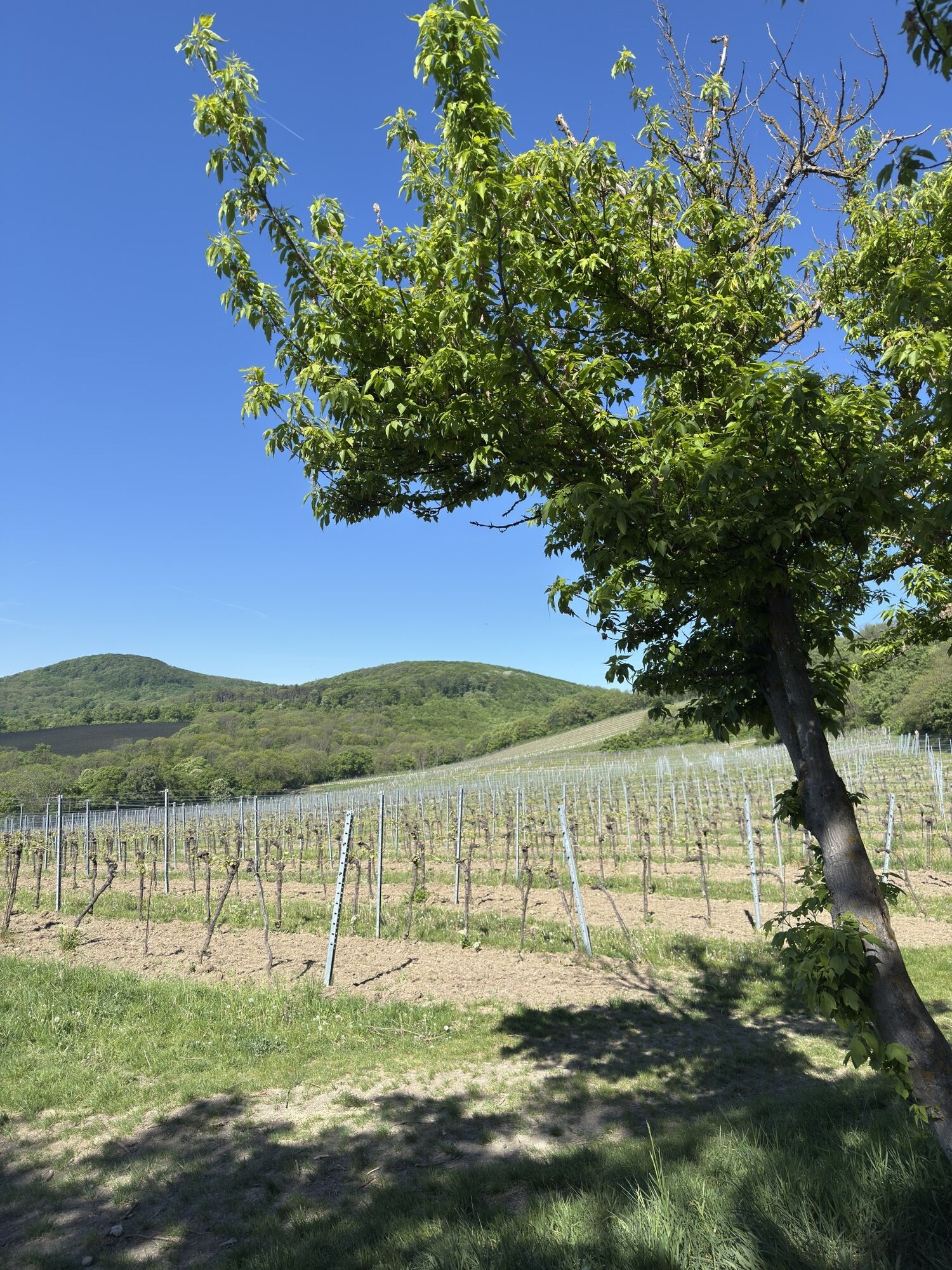
Nußberg
(342 m)
Sommet
2,4 km
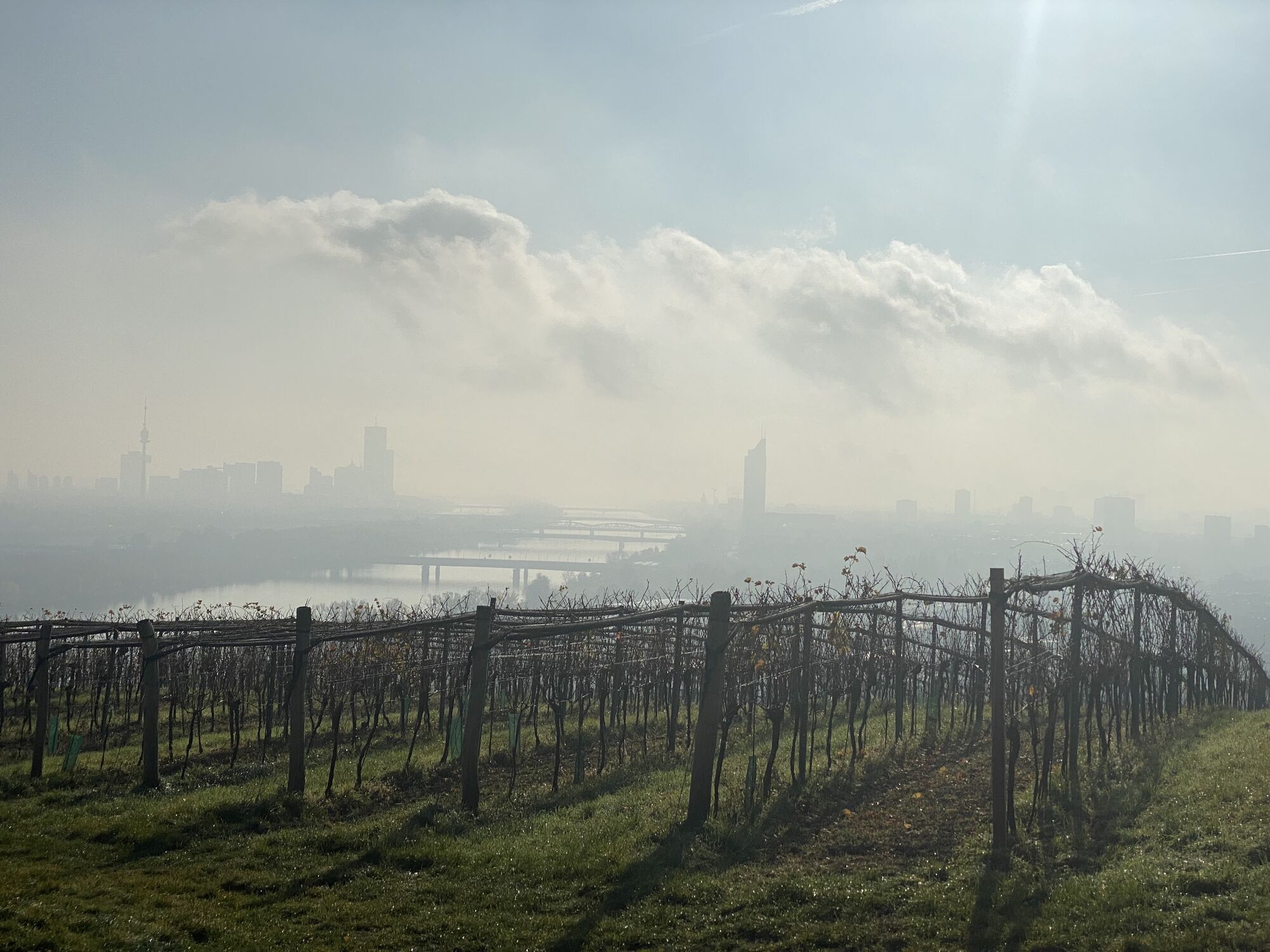
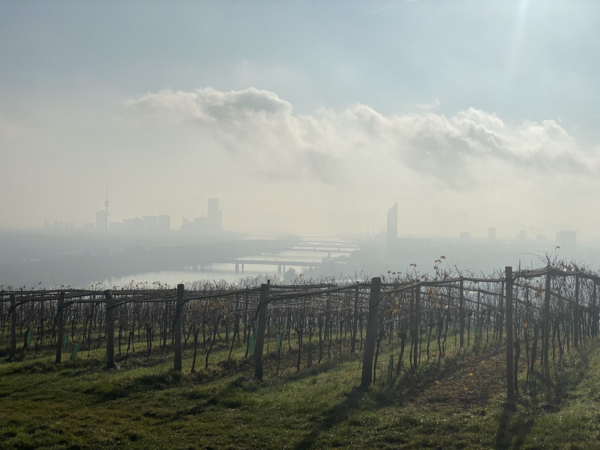
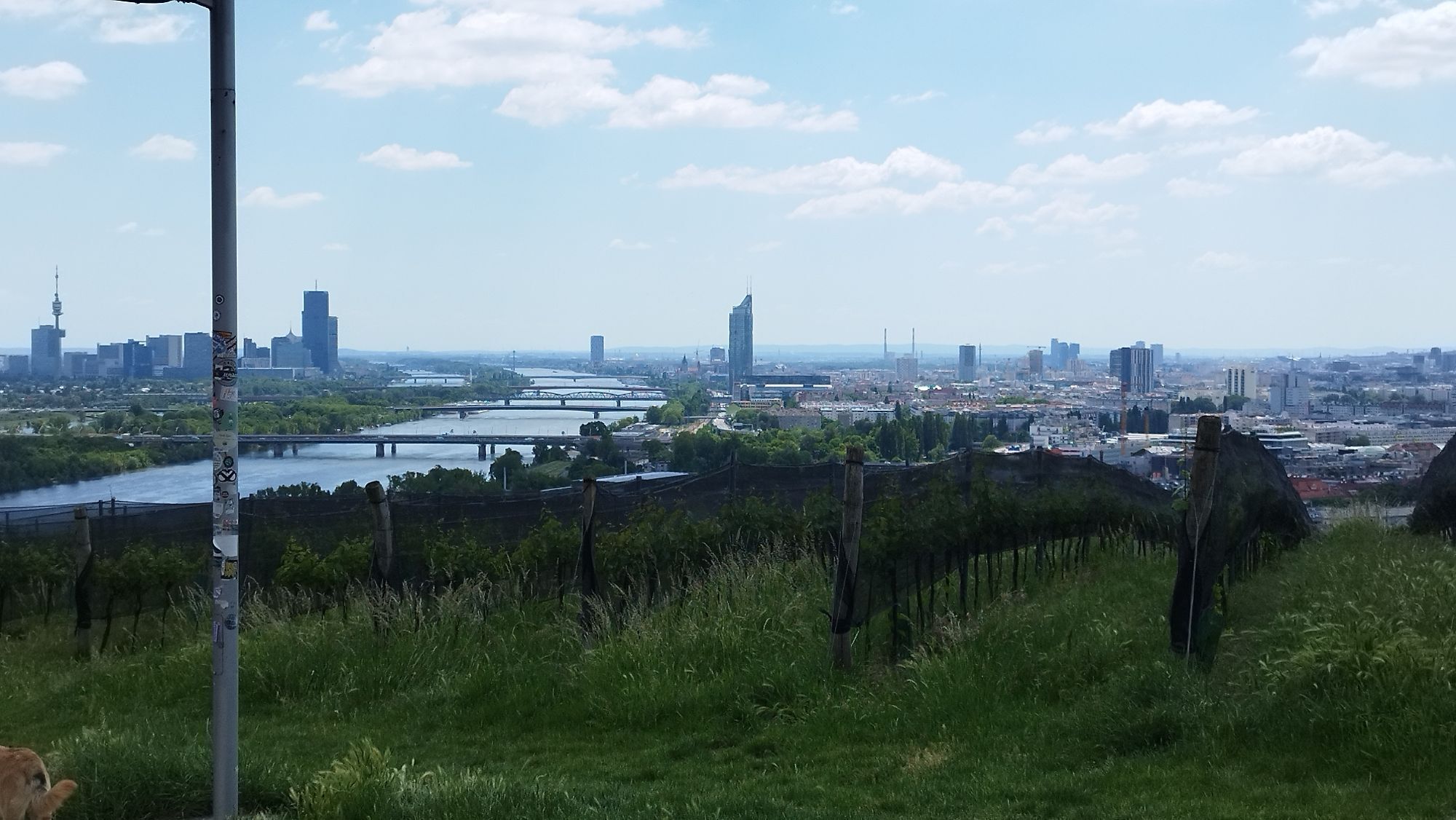
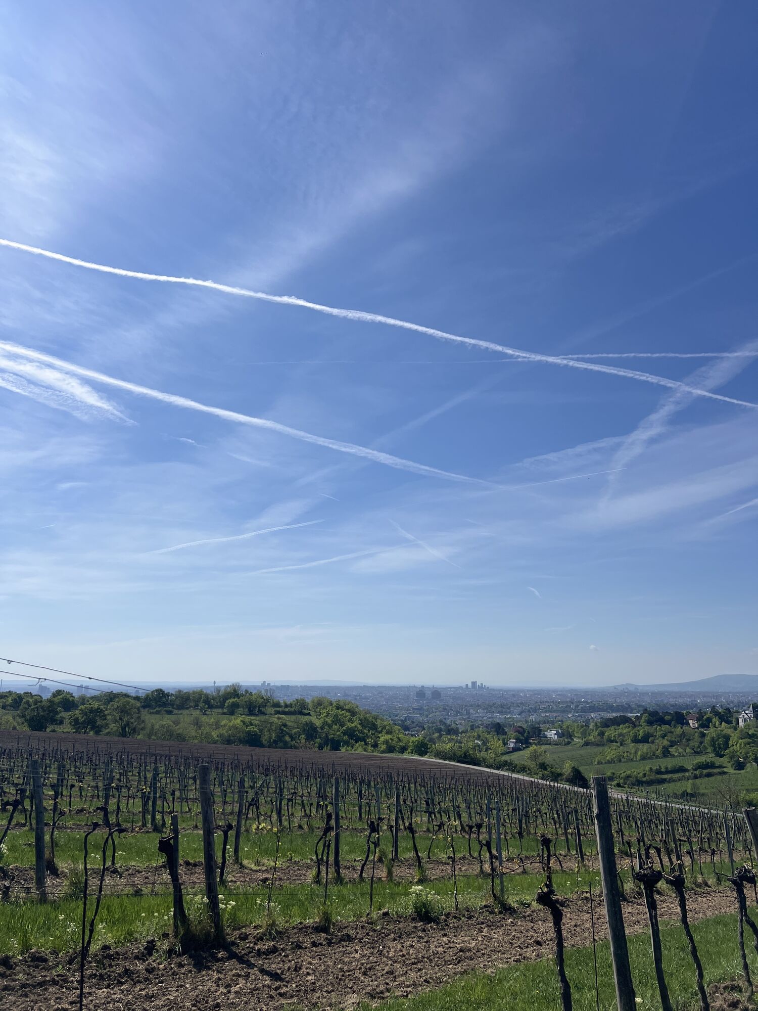
Vienne
(172 m)
Ville
4,5 km

Informations sur l'itinéraire
Parcours
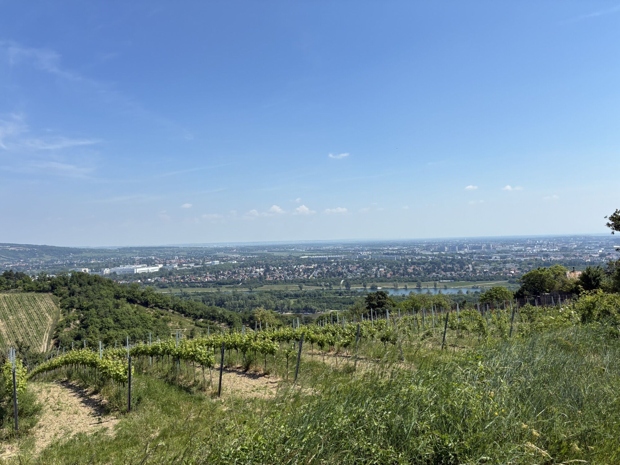
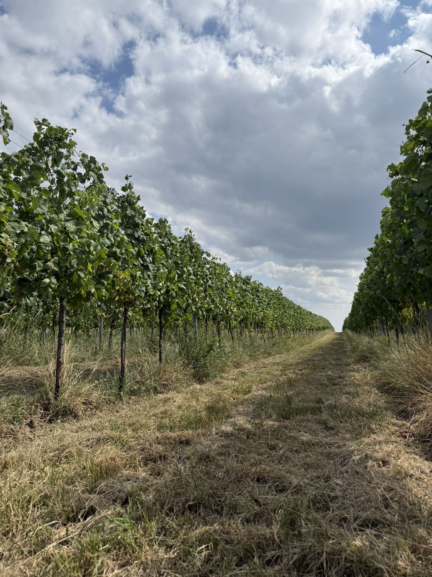
Donauradweg, rechtes Ufer
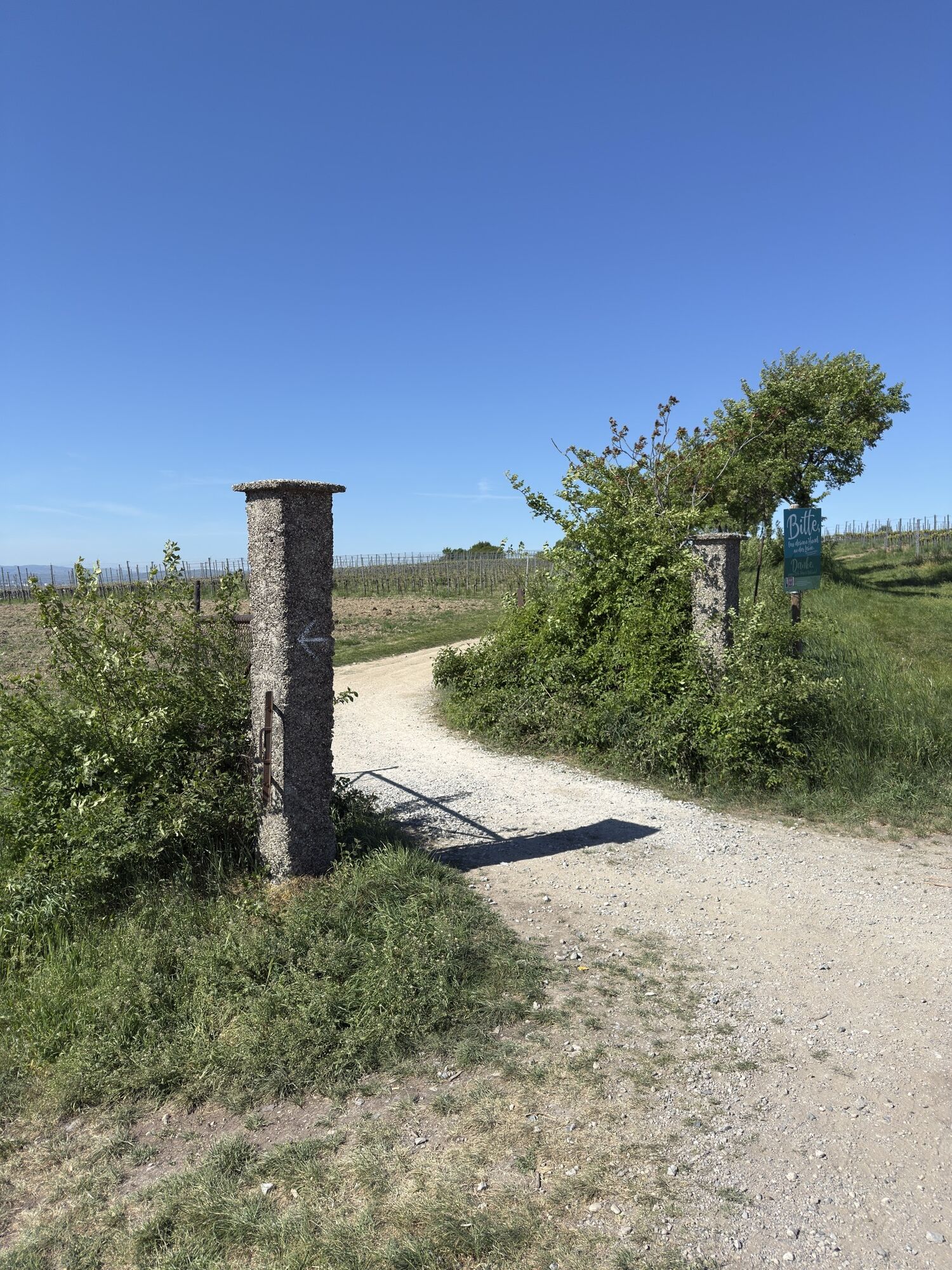
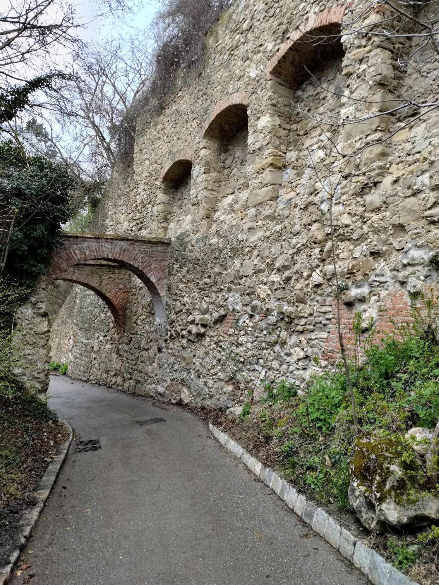
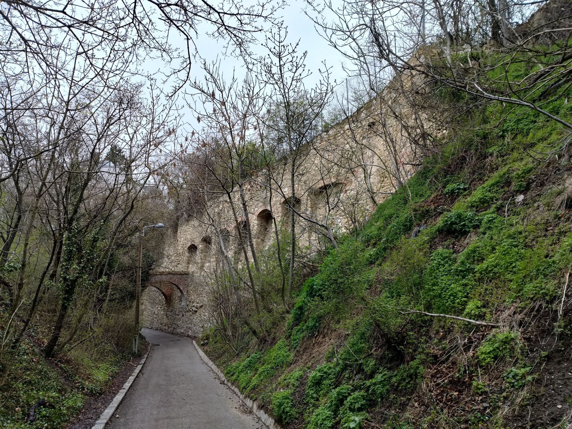
Passage escarpé
Oui
Circuit à sens unique
Oui
Équipement
So wenig wie möglich (Gewicht)
Informations sur l'itinéraire
Itinéraire
Mit dem Rad, Auto (Parkplatz vorhanden)
Transports en commun
?
Parking
Ausreichend
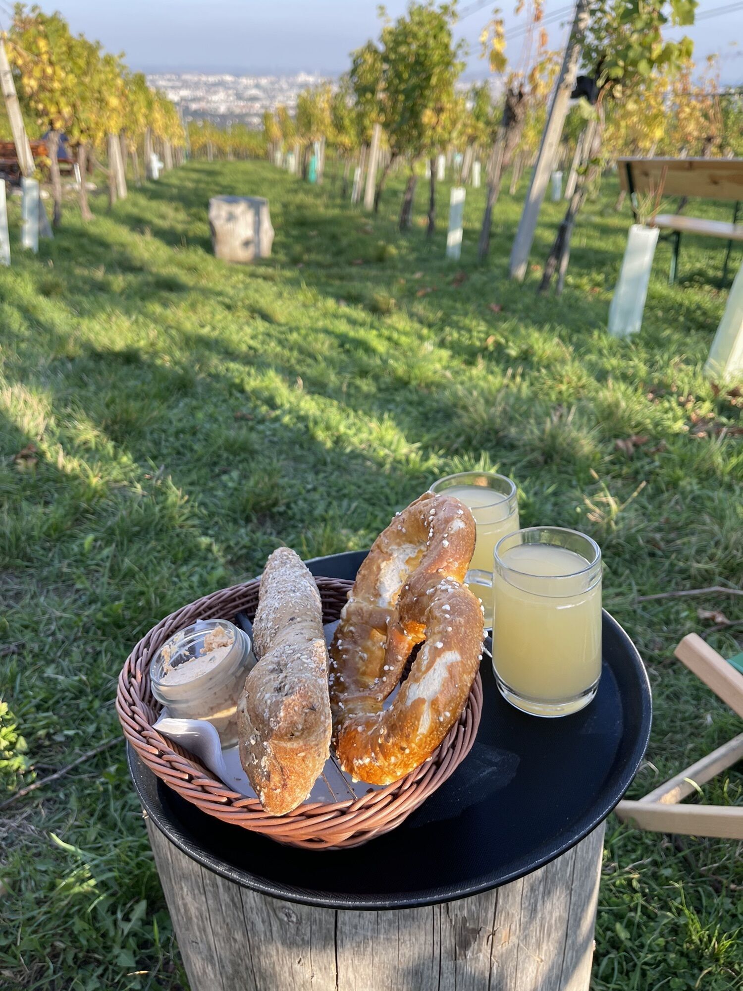
Infos complémentaires & conseils
Pneus de route
Oui
Difficulté Uphill
6/6
Difficulté Downhill
6/6
Conseils
Von Anfang an im richtigen Gang und schön langsam (je nach Kondi
Pas encore d'évaluation

Parcours populaires à proximité
- 4,9
Stadtwanderweg 1
facileRandonnée 11,1 km - 4,9
Stadtwanderweg #2, Hermannskogel, Top of Vienna 😆
facileRandonnée 11,1 km - 4,8
Stadtwanderweg 1a - Leopoldsberg / lt. Beschilderung
moyenRandonnée 10,2 km - 4,7
Königstetten-Figlwarte-Hainbuch-Königstetten
moyenRandonnée 9,30 km - 4,7
Nasenweg Leopoldsberg Rundweg
moyenRandonnée 4,08 km - 4,6
Stadtwanderweg 4
facileRandonnée 8,48 km - 4,6
Stadtwanderweg 7 - Laaer Berg / lt. Beschilderung
facileRandonnée 14,2 km - 4,5
Stadtwanderweg 5 Bisamberg (lt. Beschilderung)
facileRandonnée 10,5 km - 4,5
Stadtwanderweg 3, Hameau (lt. Beschilderung)
facileRandonnée 9,78 km - 4,6
Vienna's highest peaks: Leopoldsberg, Kahlenberg and Hermannskogel
facileRandonnée 13,6 km
Randonnée et suivi

Plus de 550.000 propositions de circuits, des cartes détaillées et un planificateur d'itinéraire intuitif font de cette application un must pour tous les passionnés de nature.

Ne manquez pas les offres et l'inspiration pour vos prochaines vacances
S'inscrire à la newsletter
Erreur
Une erreur s'est produite. Veuillez réessayer.Merci pour votre inscription
Votre adresse électronique a été ajouté à la liste de diffusion.
Parcours en Europe
Autriche Suisse Allemagne Italie Slovénie France Pays-Bas Belgique Pologne Liechtenstein République tchèque Slovaquie Espagne Croatie Bosnie-Herzégovine Luxembourg Andorre Portugal Islande Royaume-Uni Irlande Grèce Albanie Macédoine du Nord Malte Norvège Monténégro Moldavie Kosovo Hongrie Saint-Marin Roumanie Estonie Lettonie Bélarus Chypre Lituanie Serbie Bulgarie Monaco Danemark Suède Finlande