






Pappelteich route
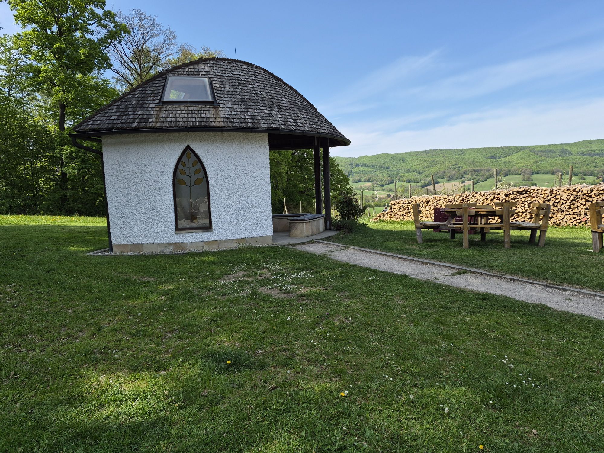

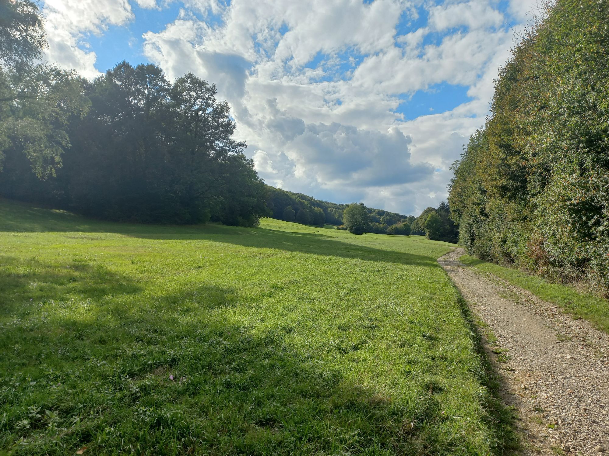
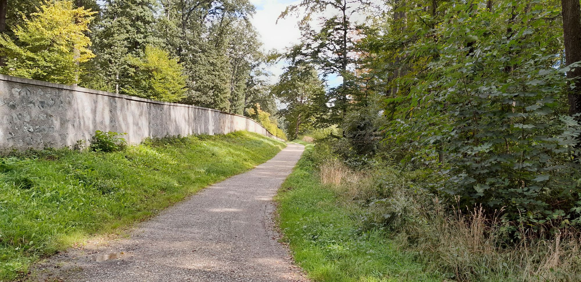
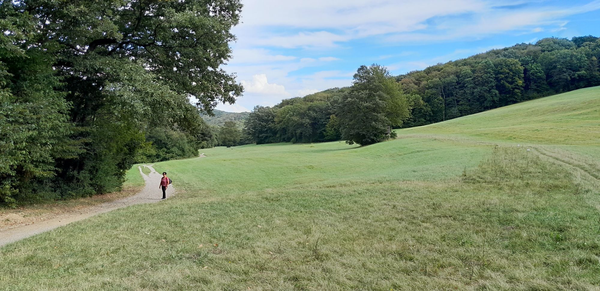
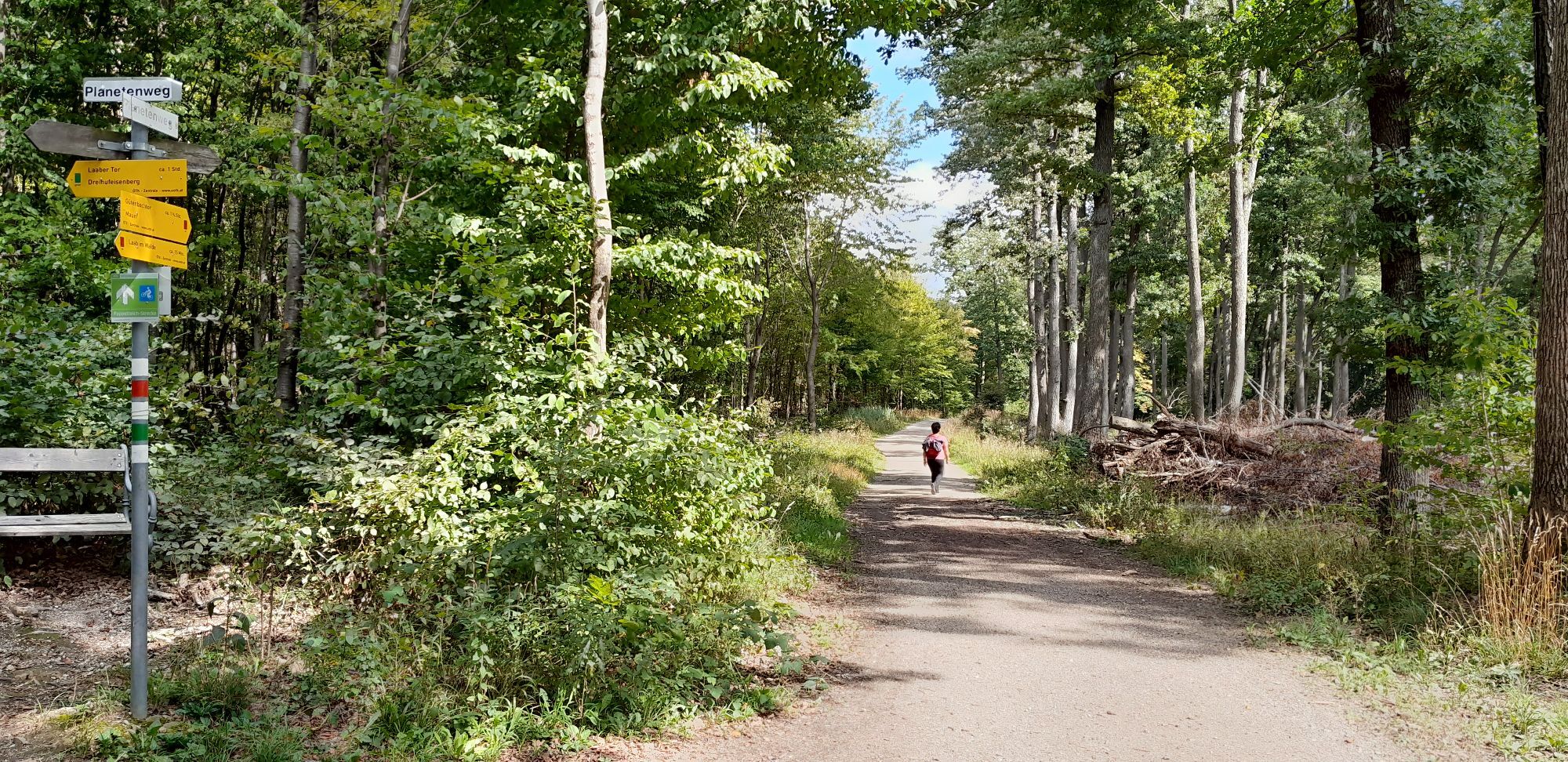
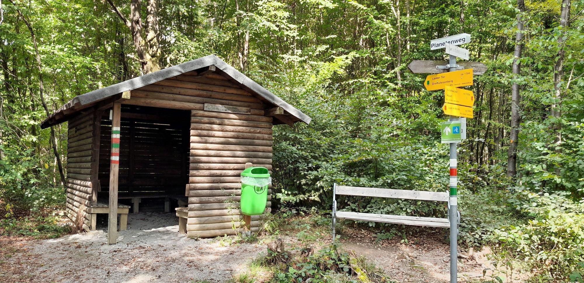
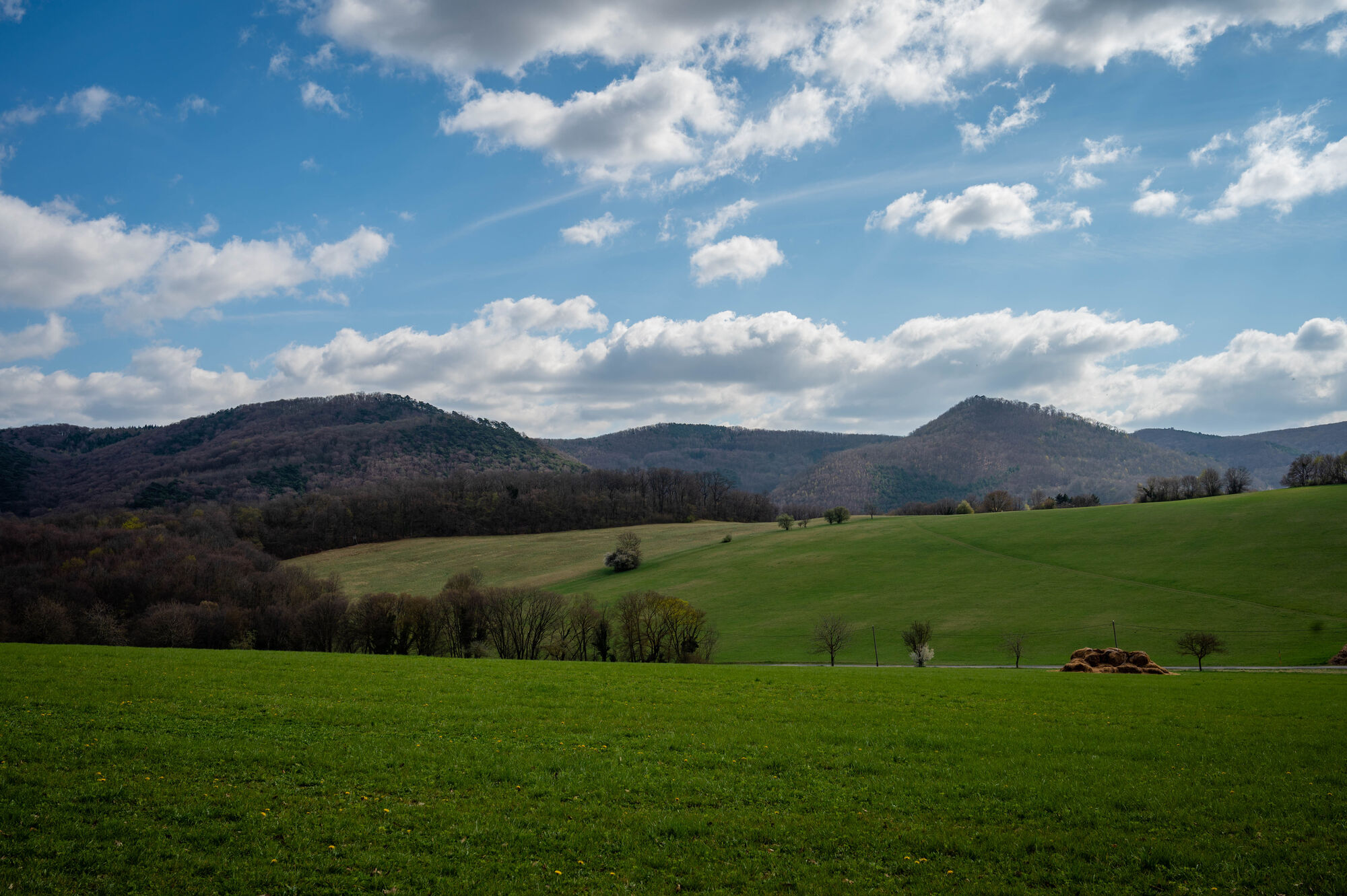
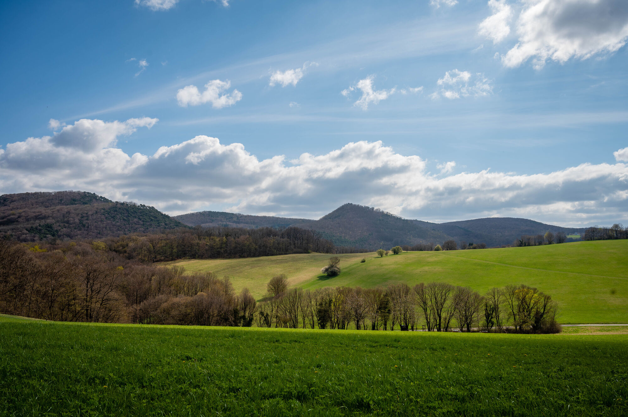
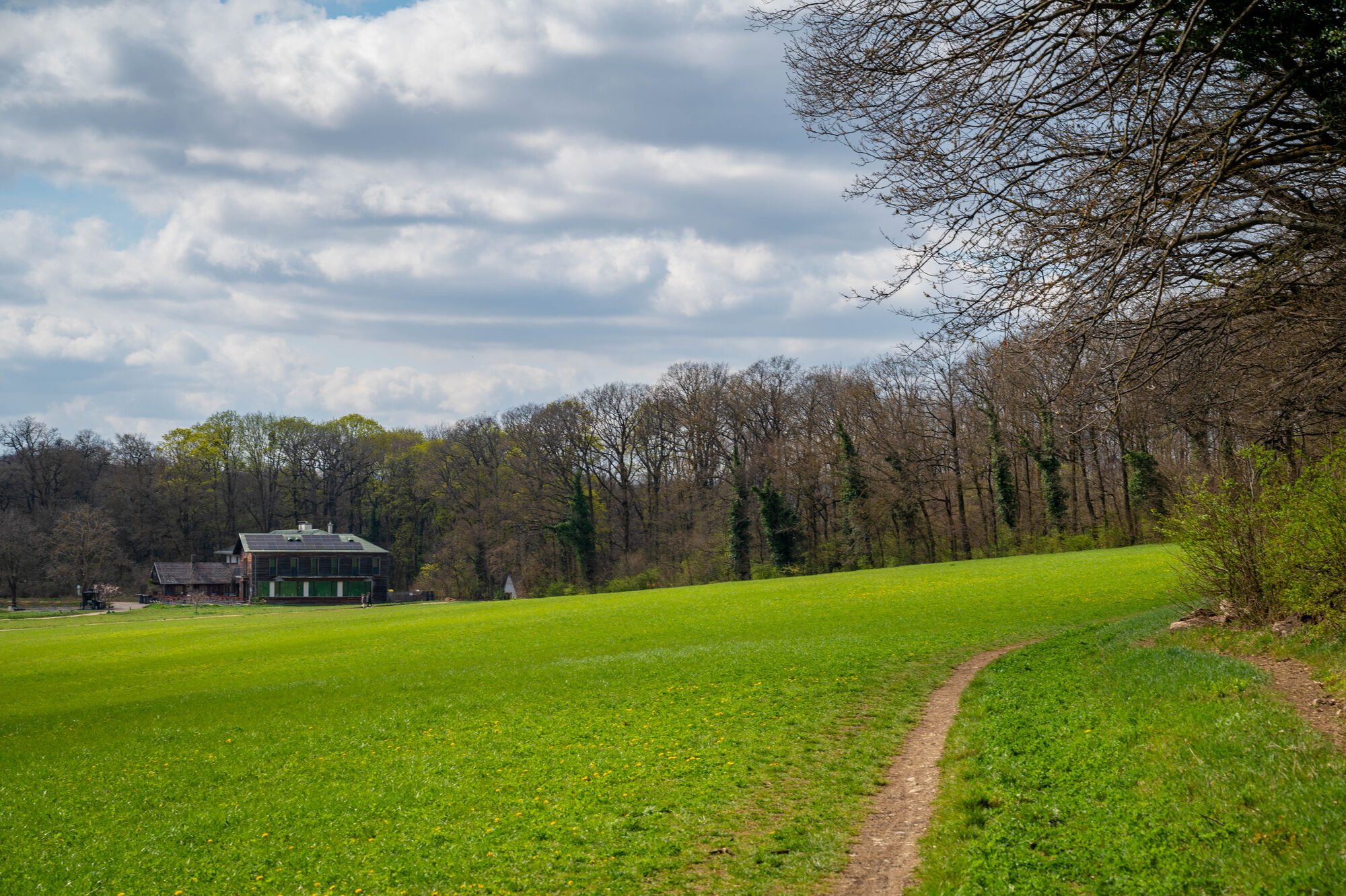
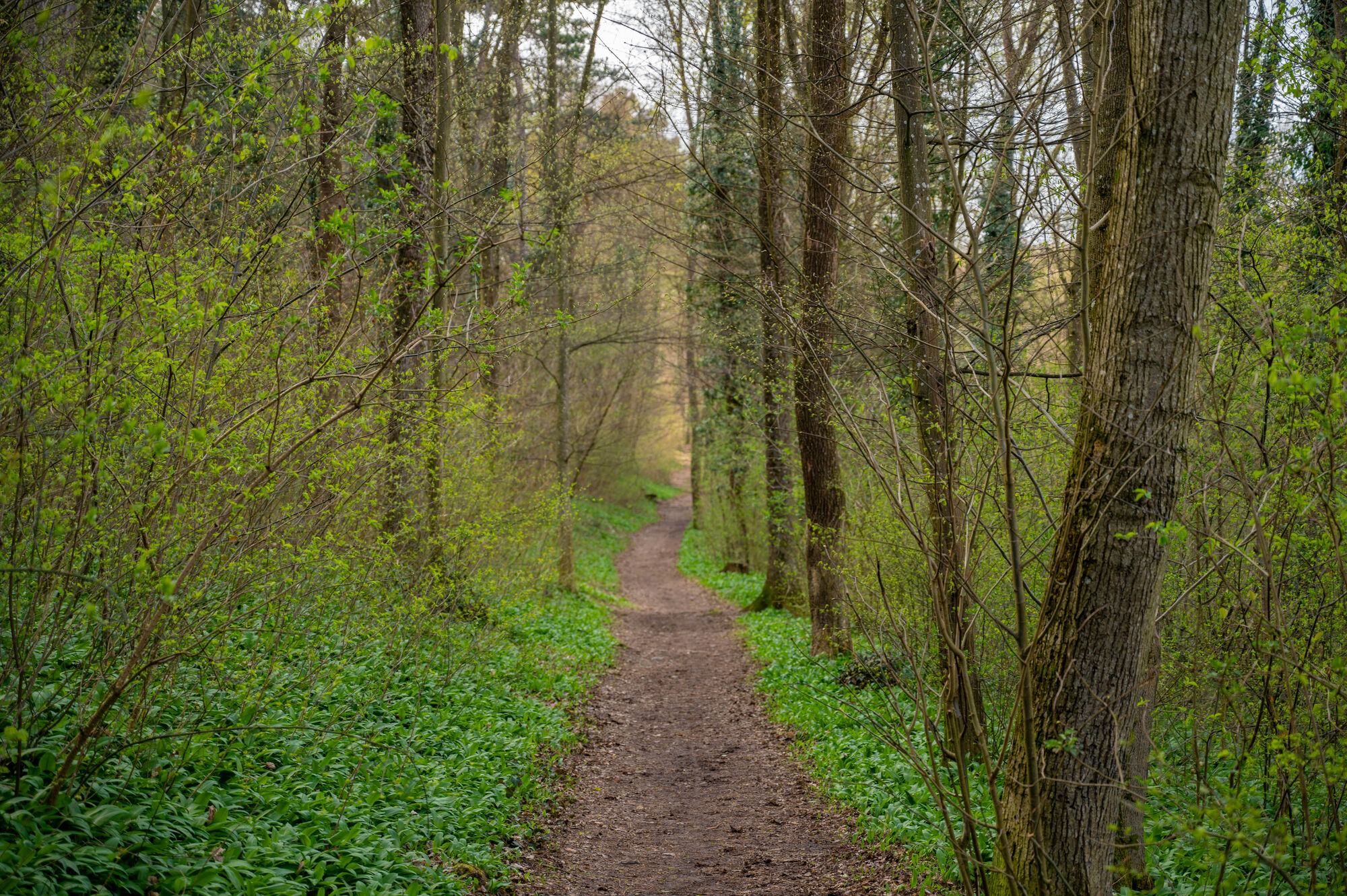
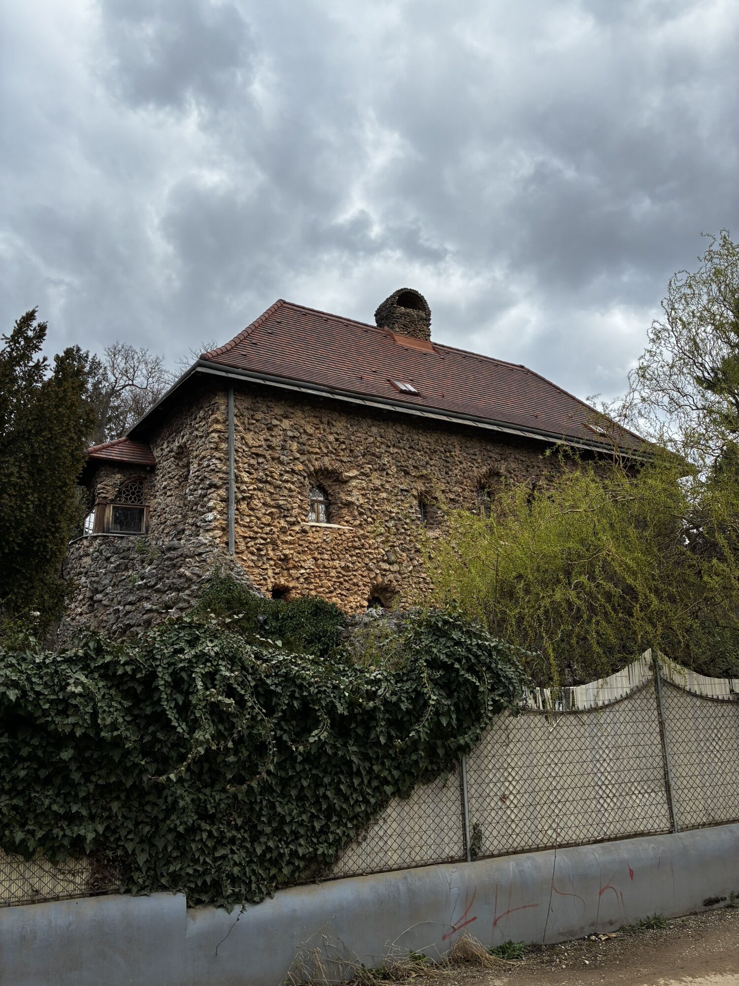
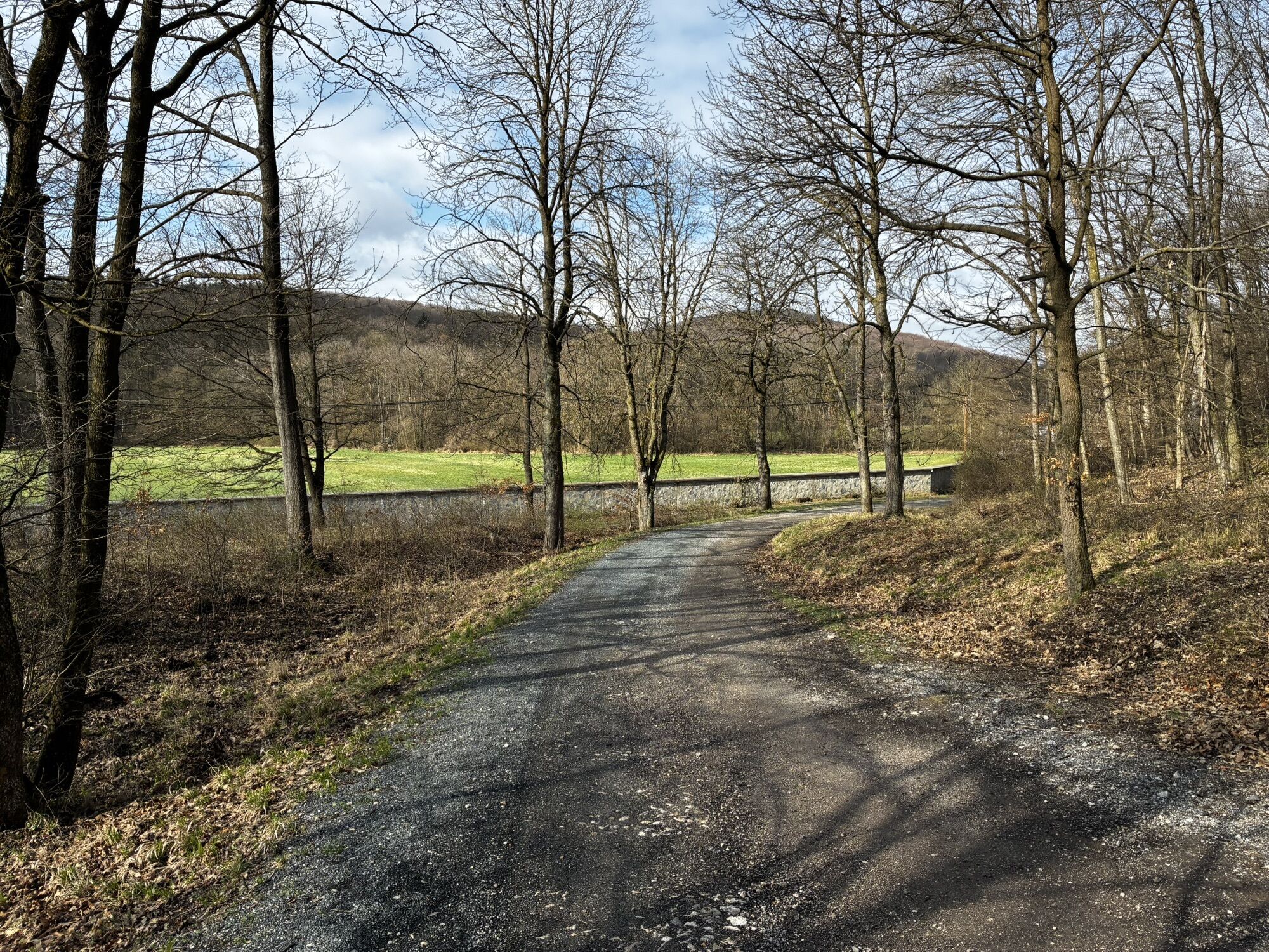
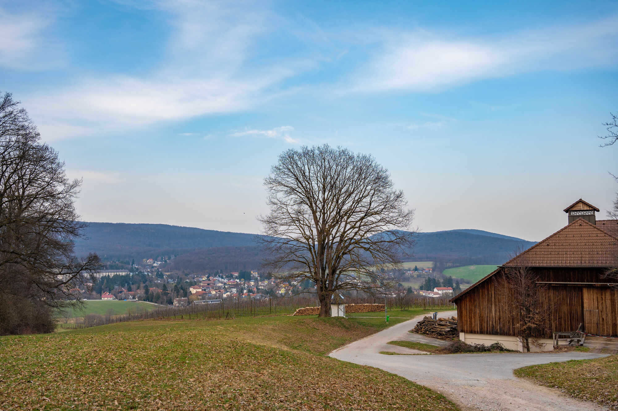
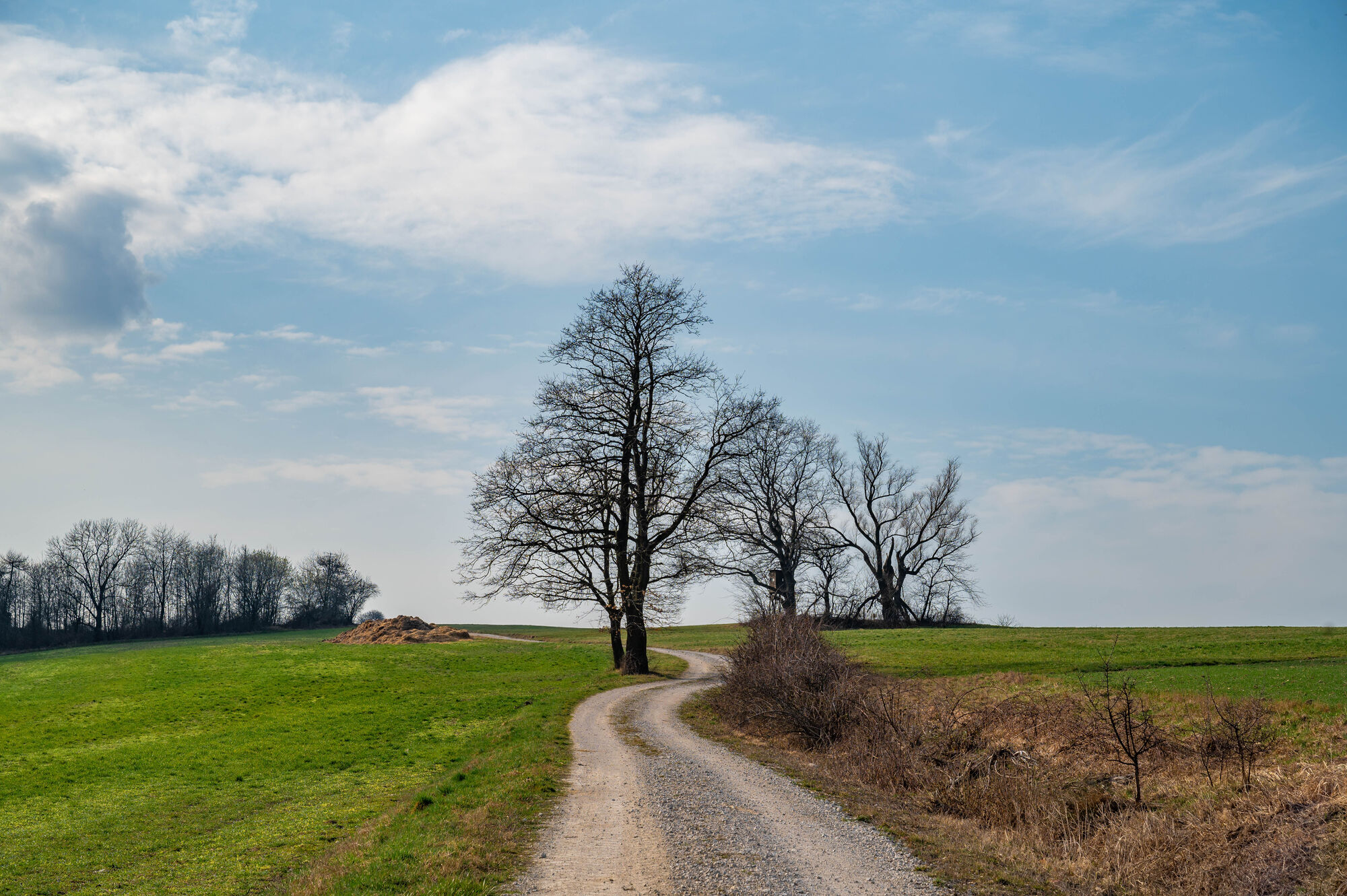
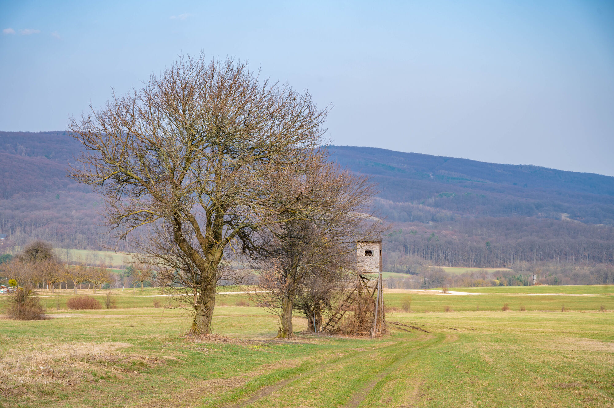
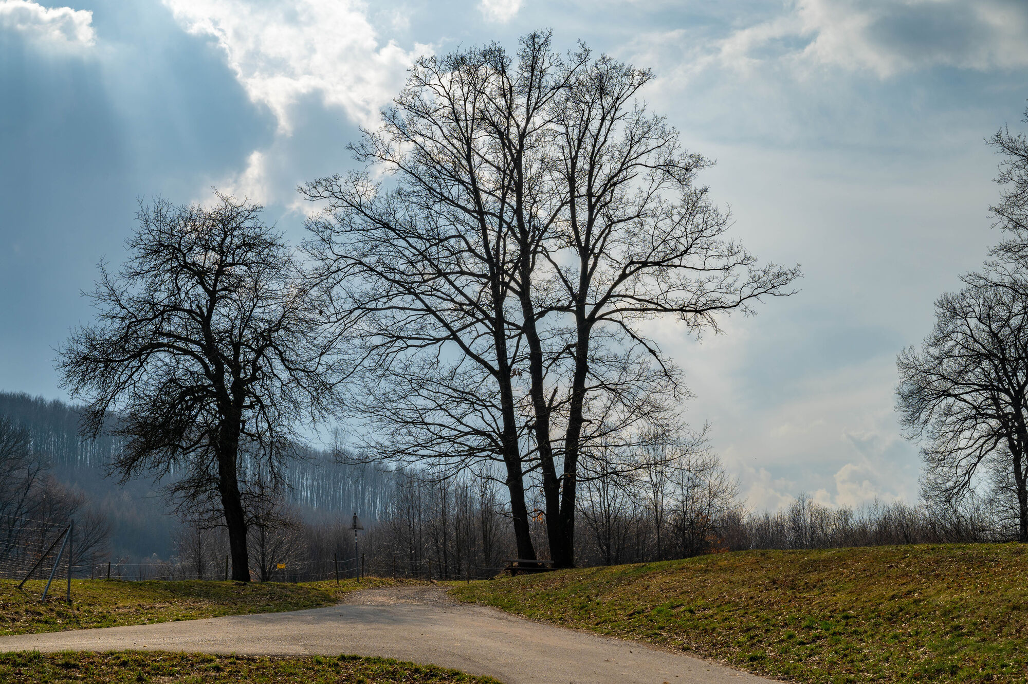
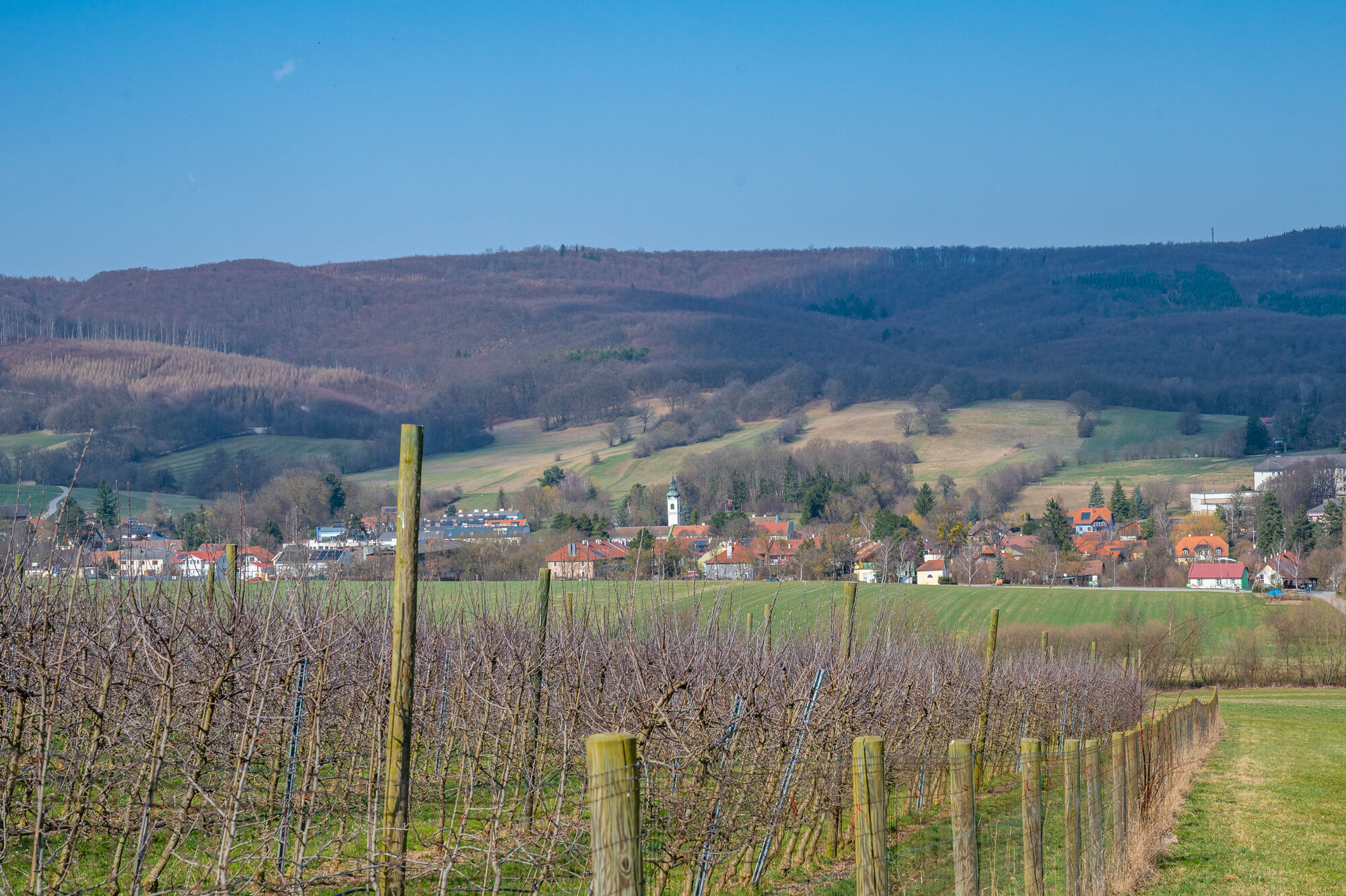
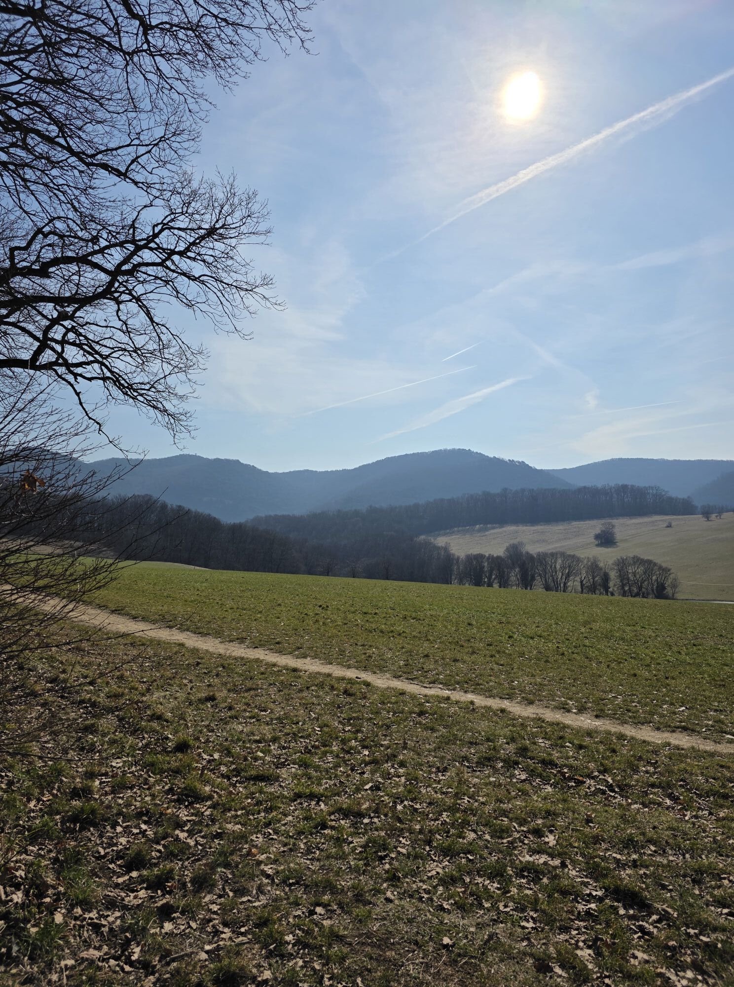
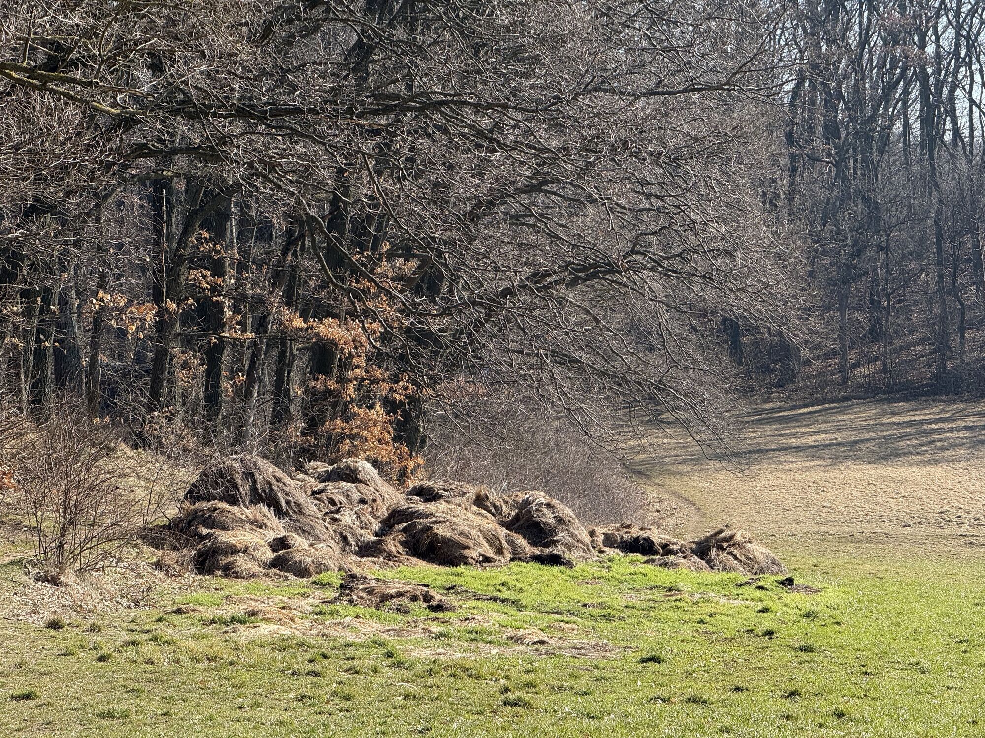
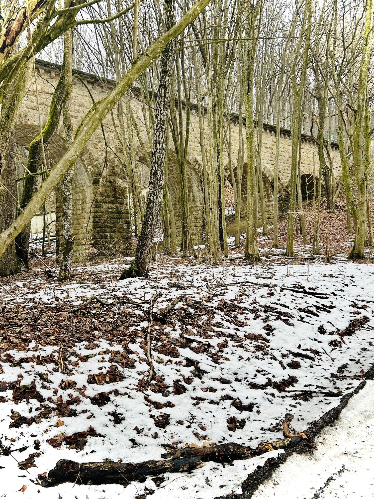
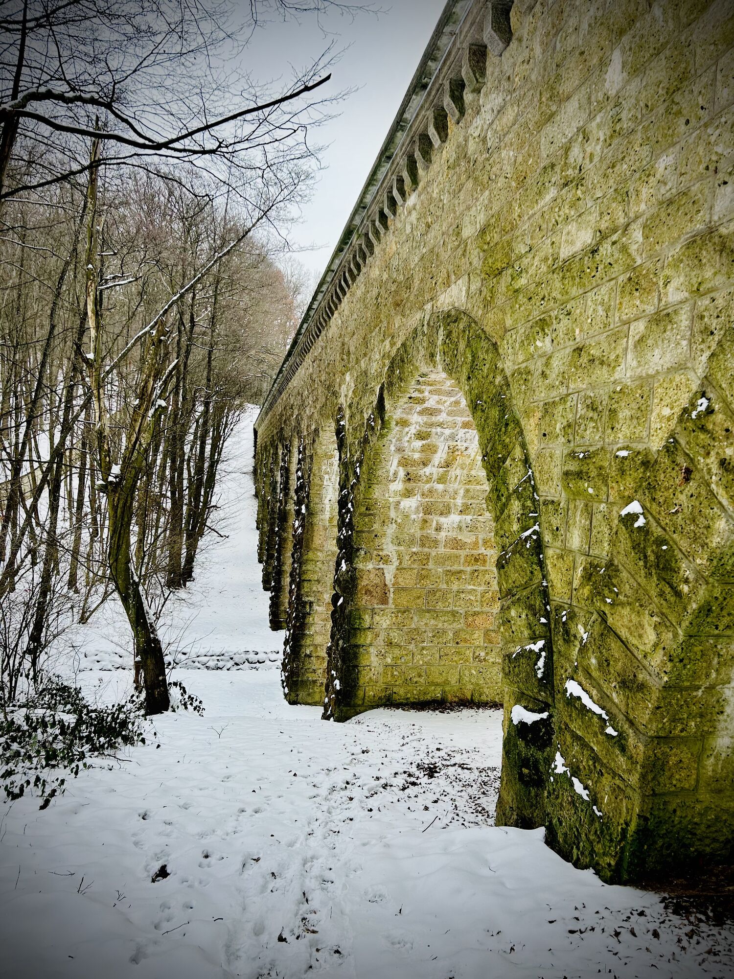
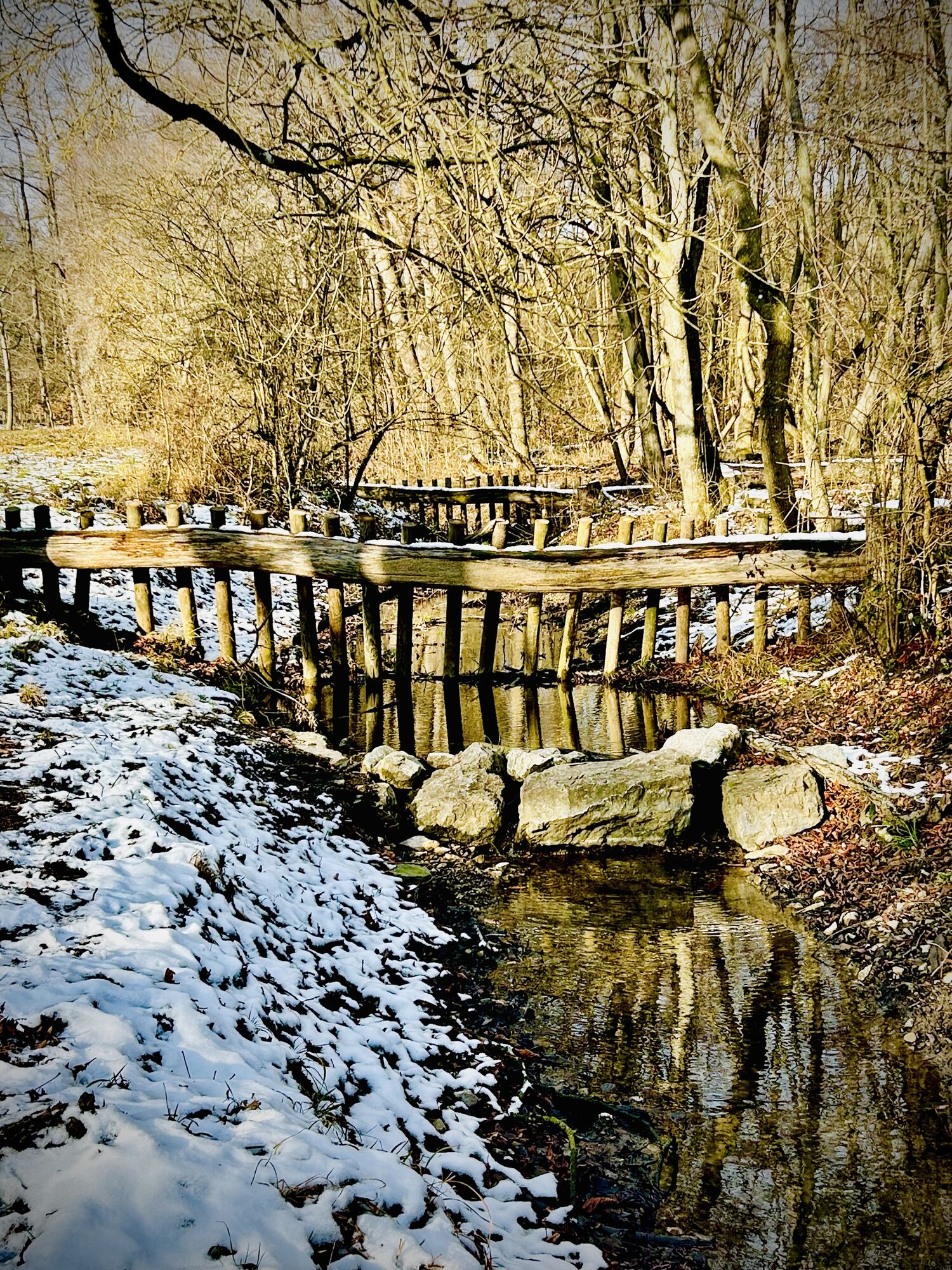
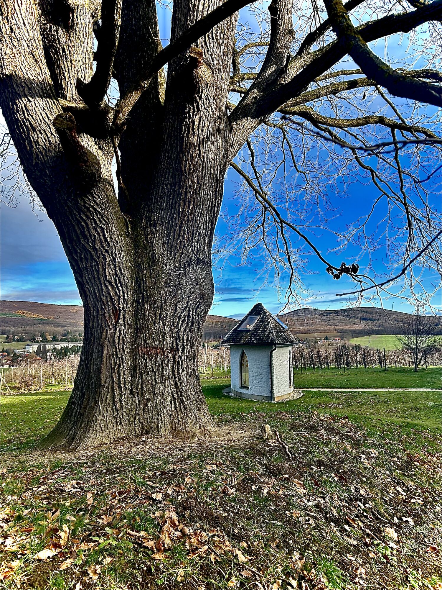
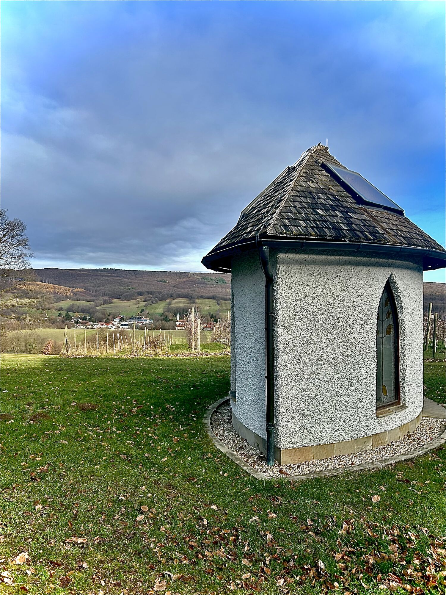
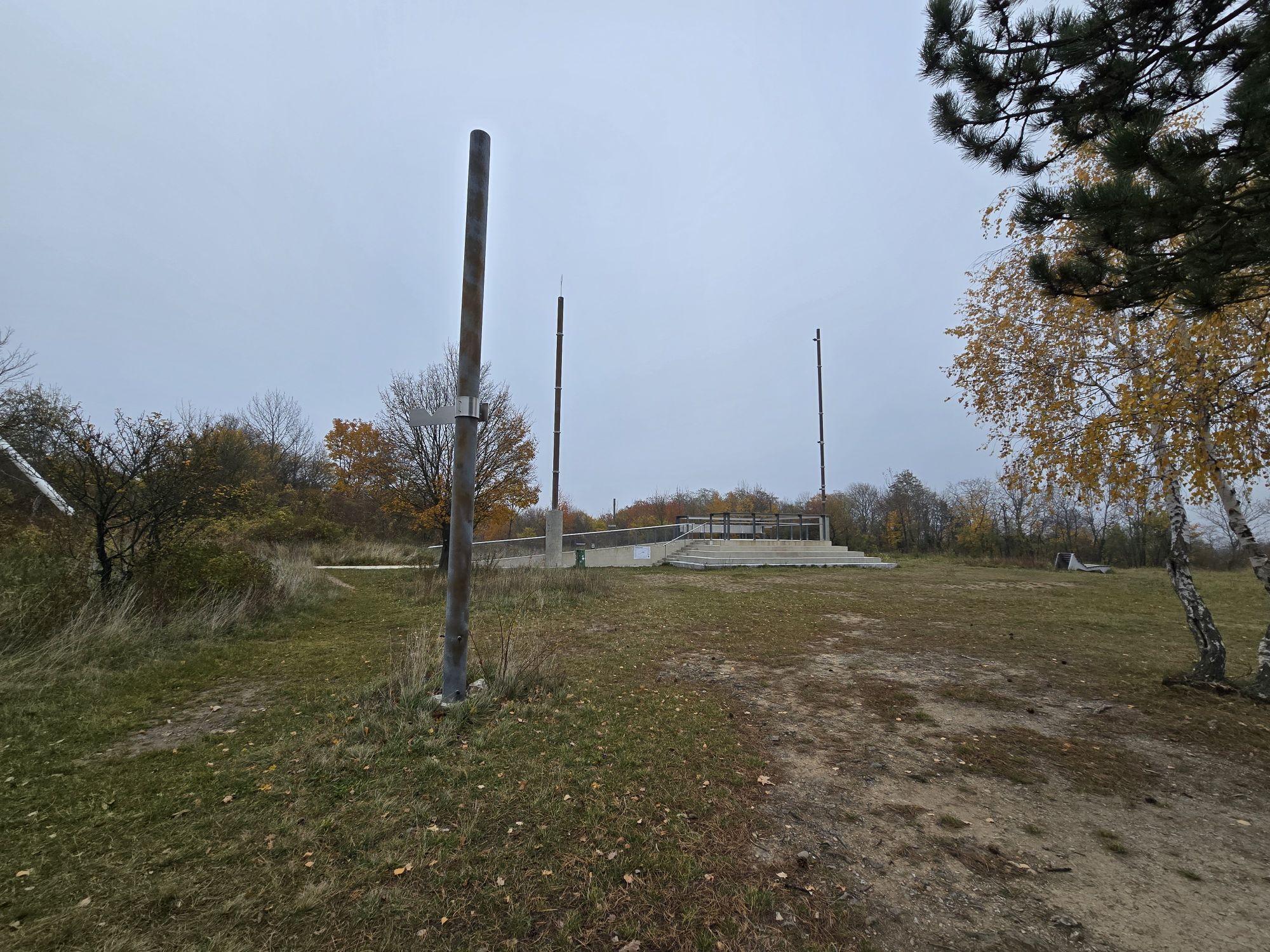
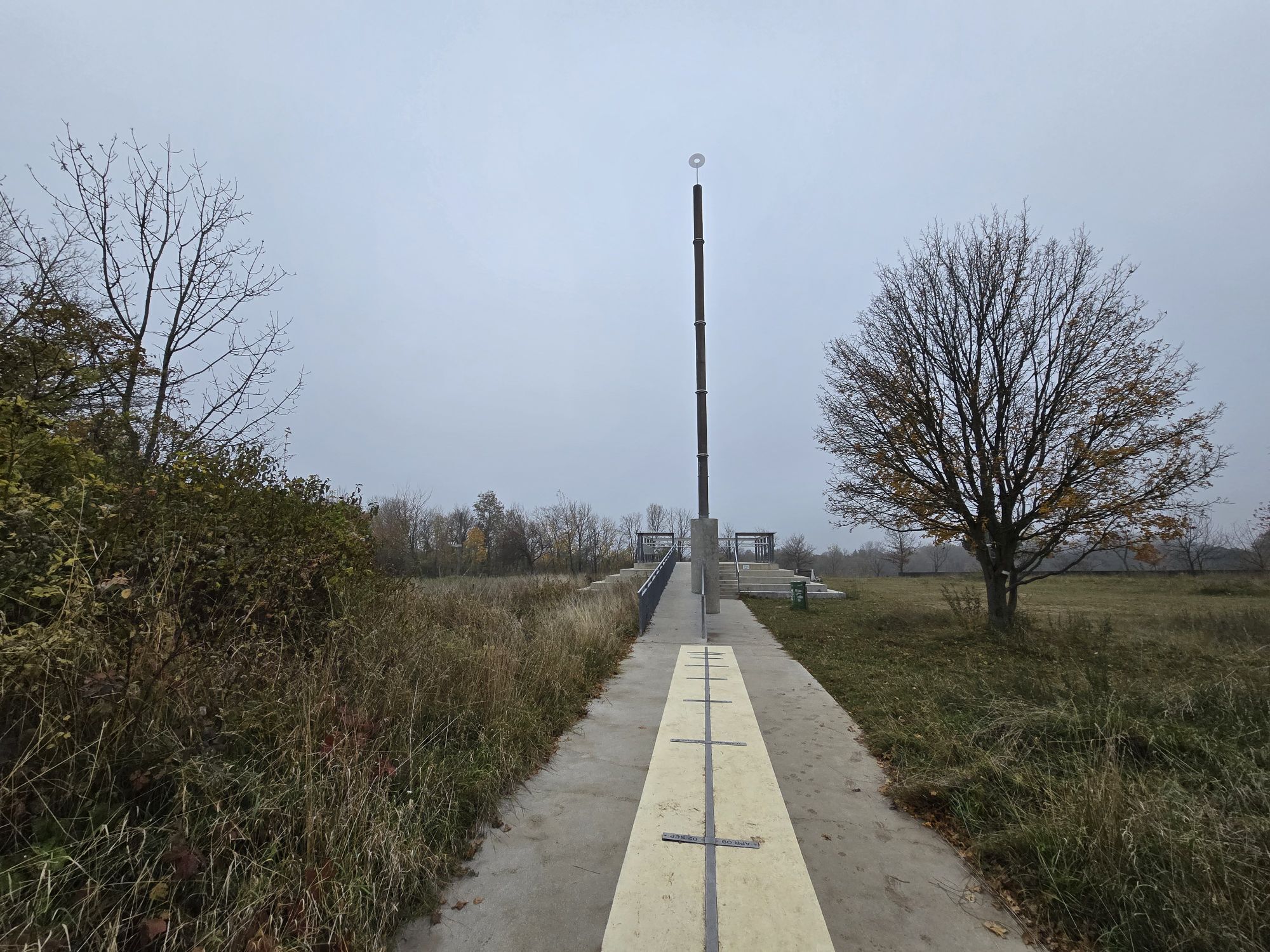
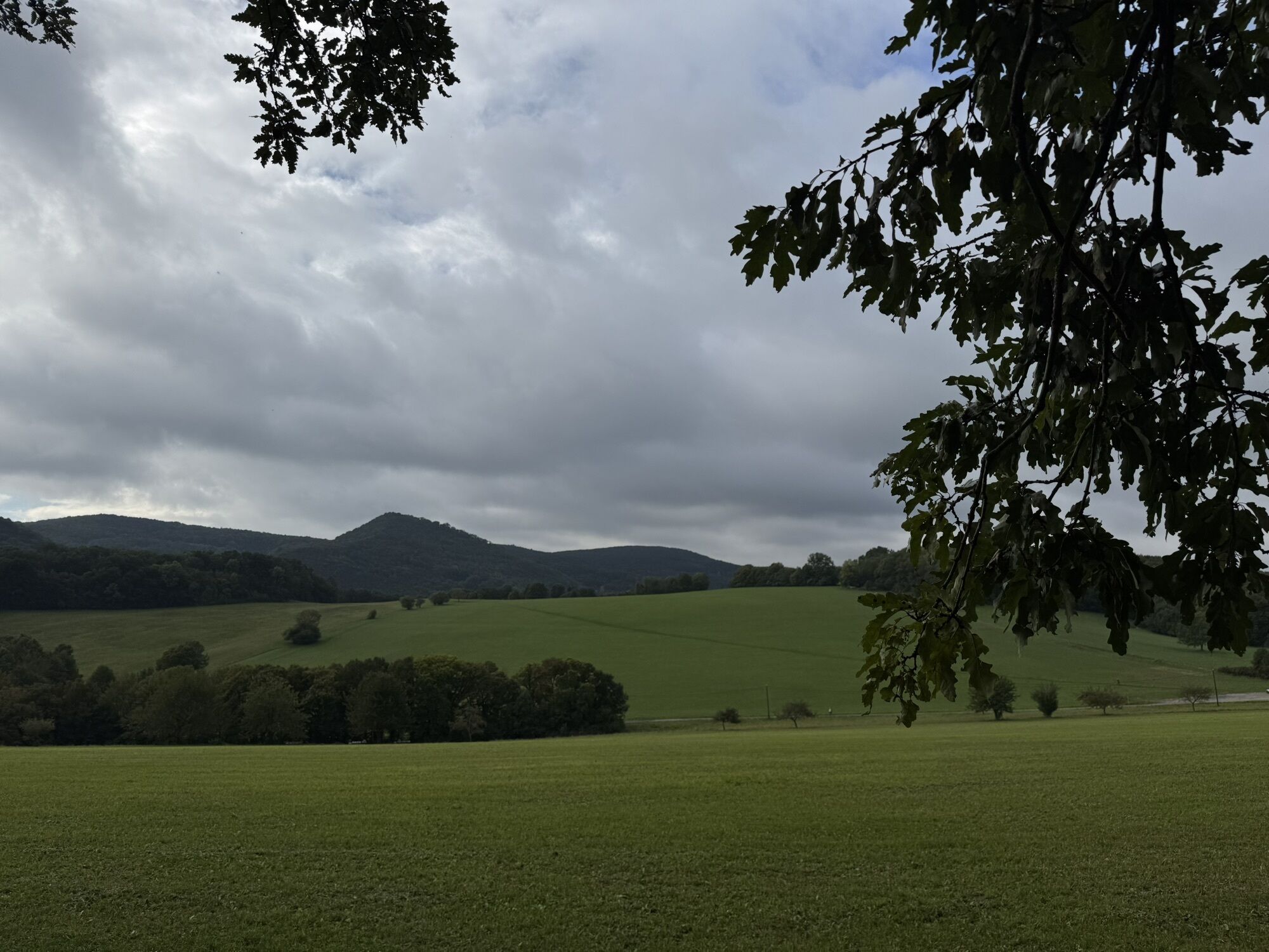
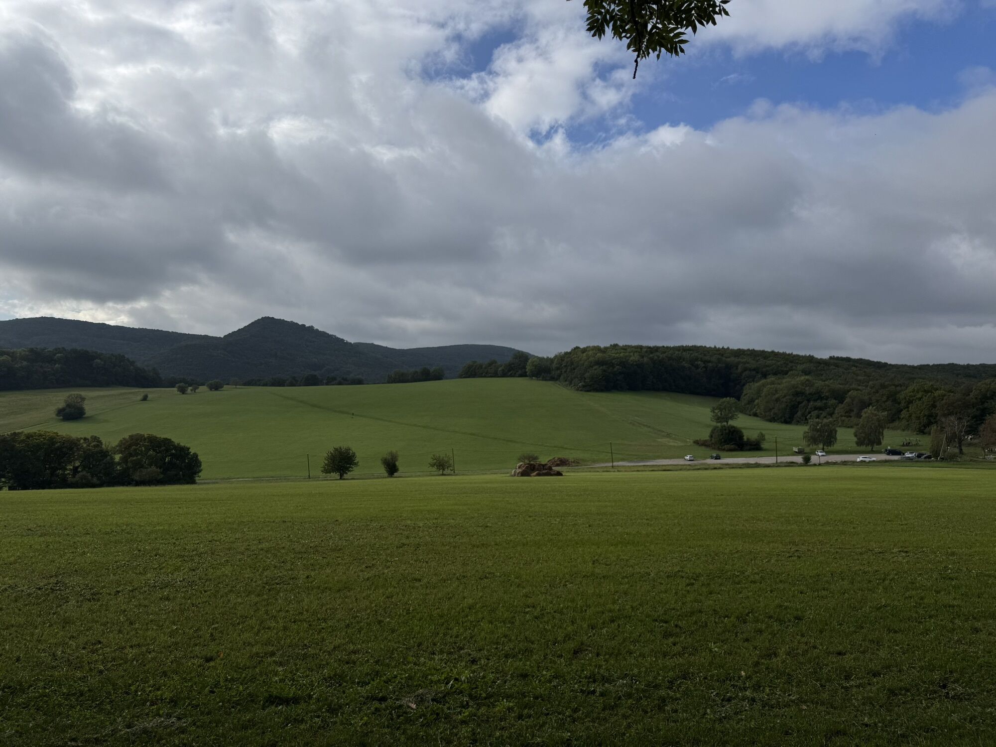
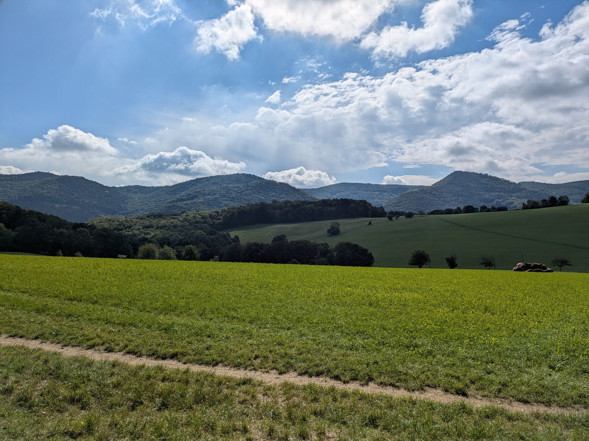

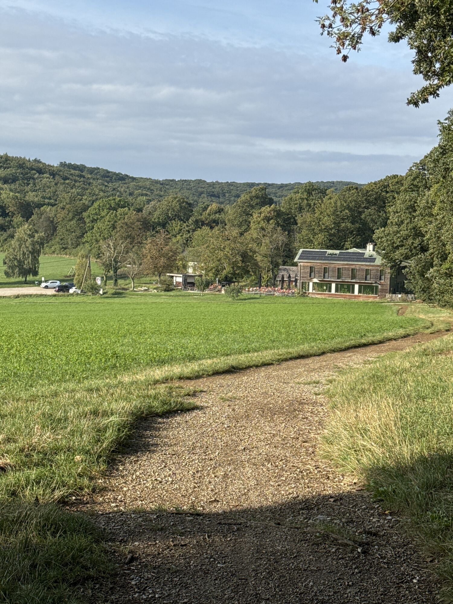
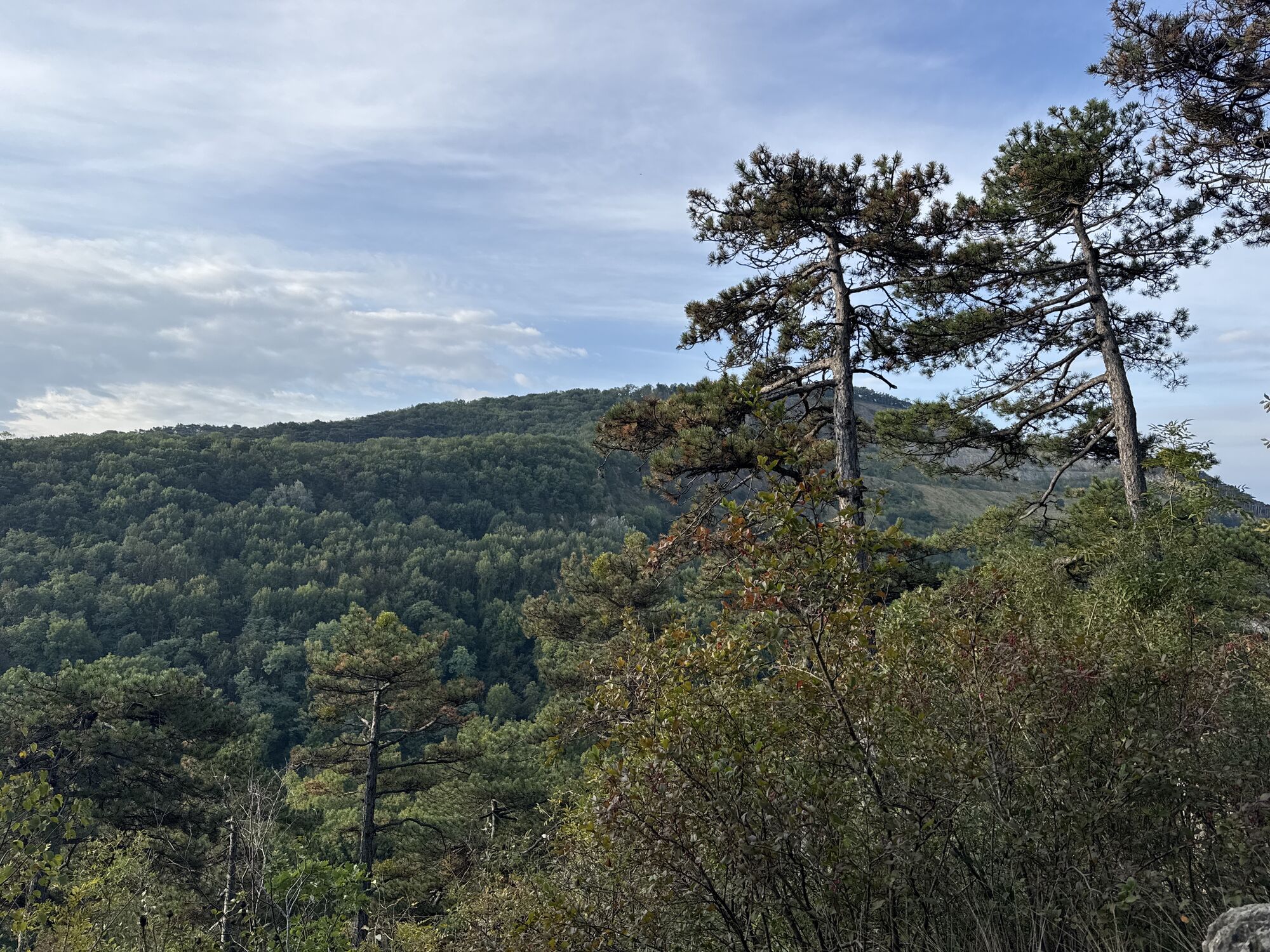
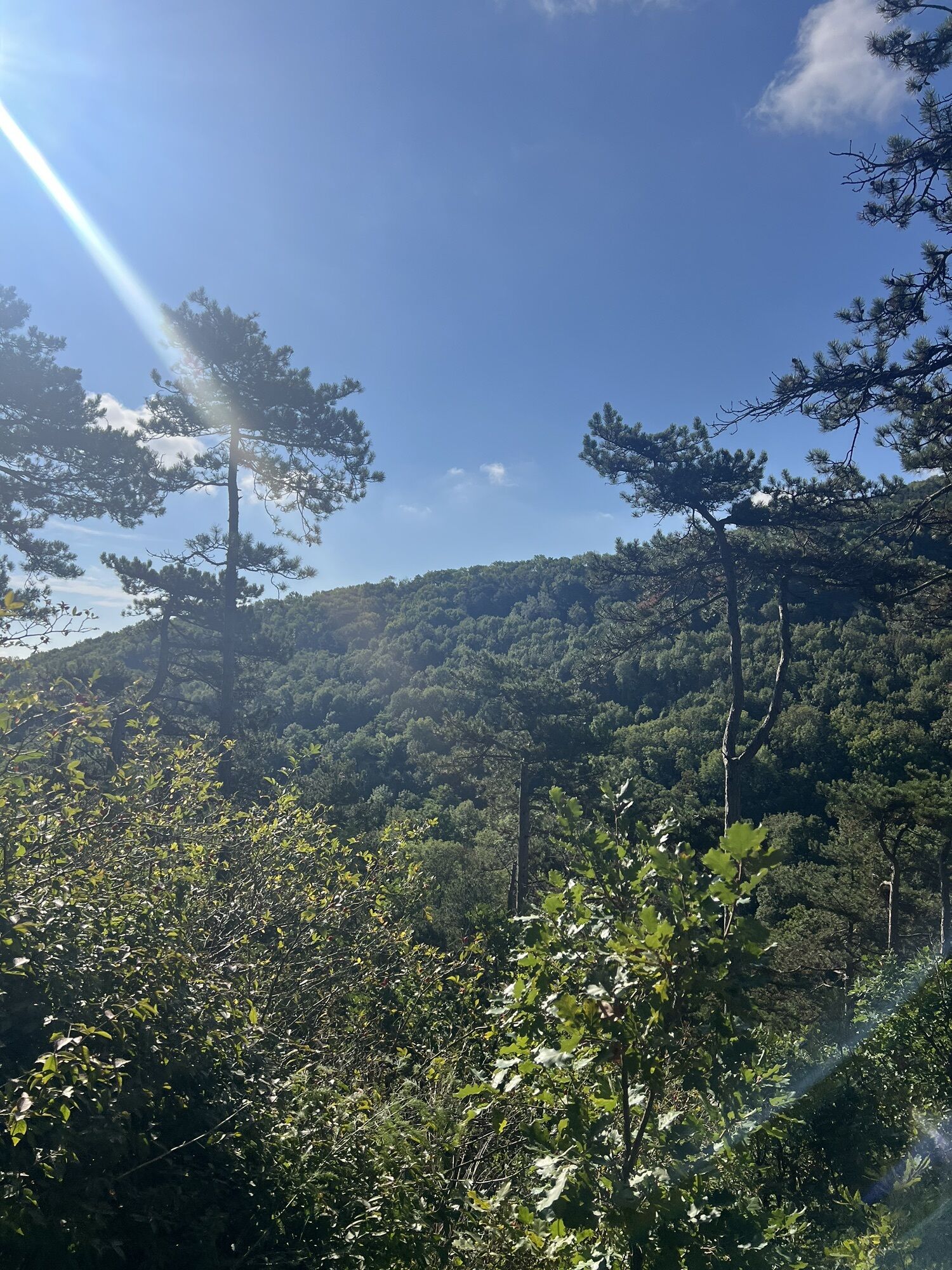
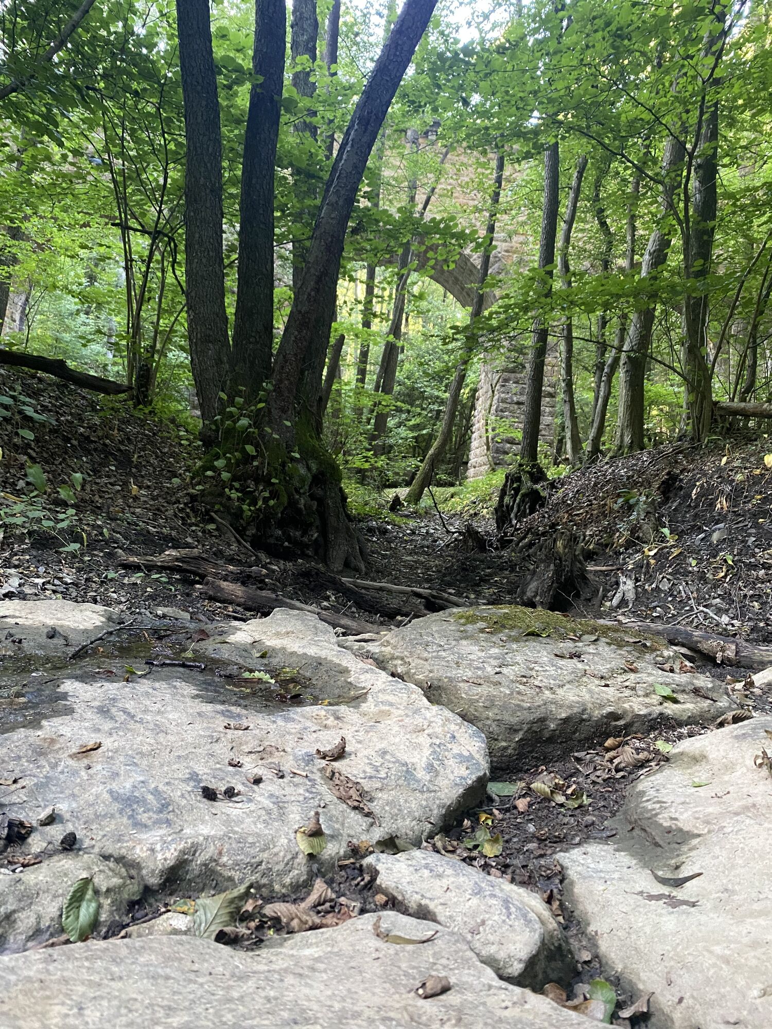
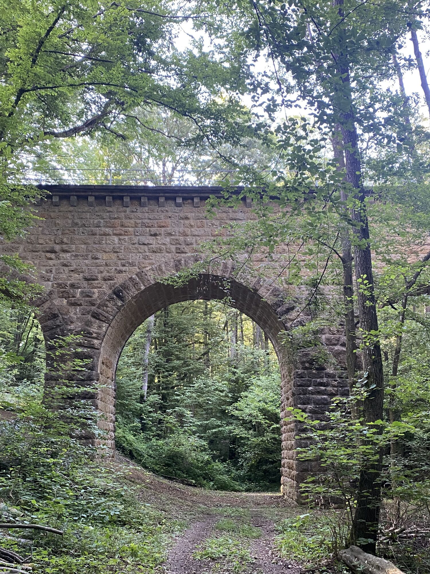
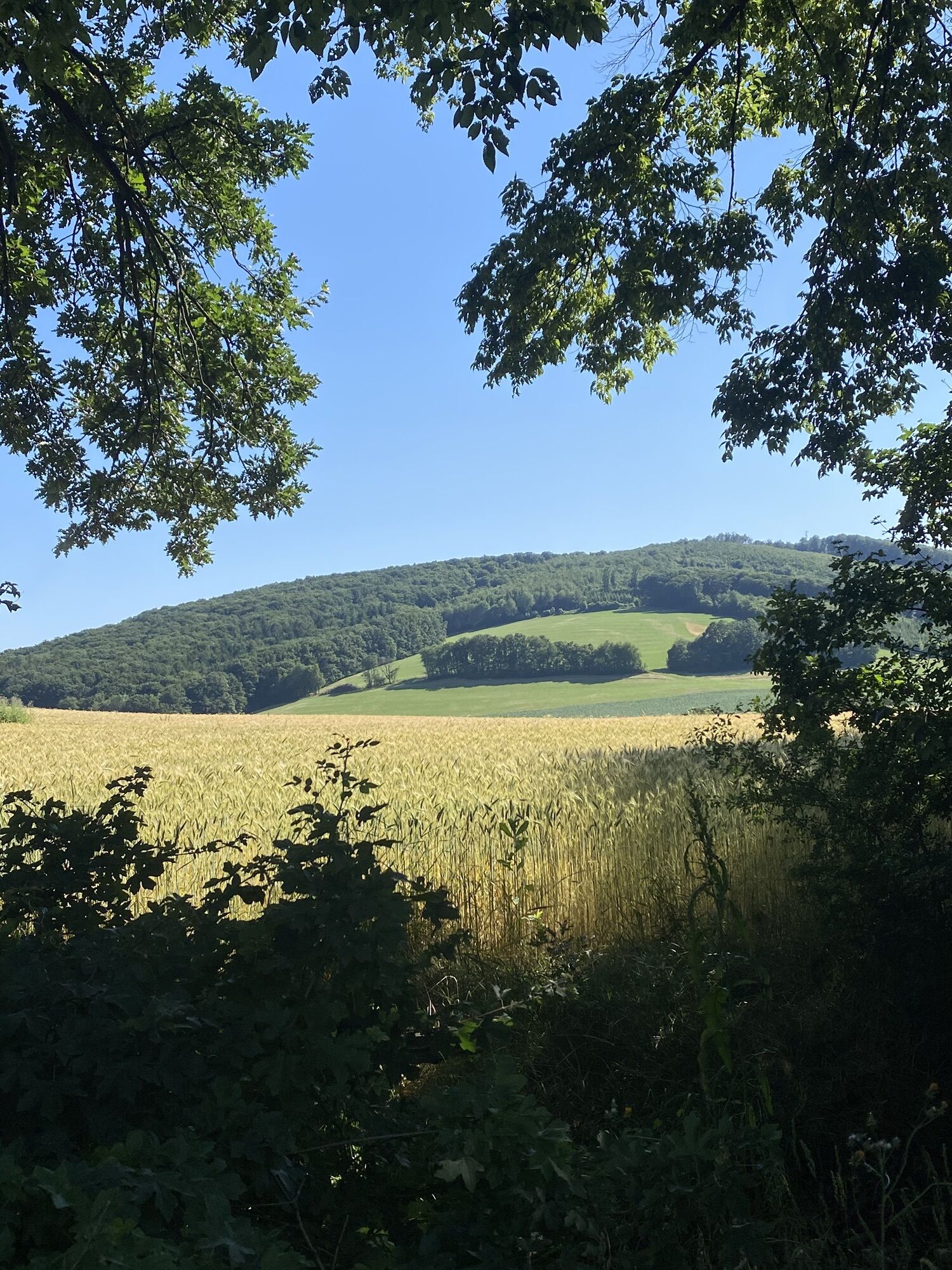
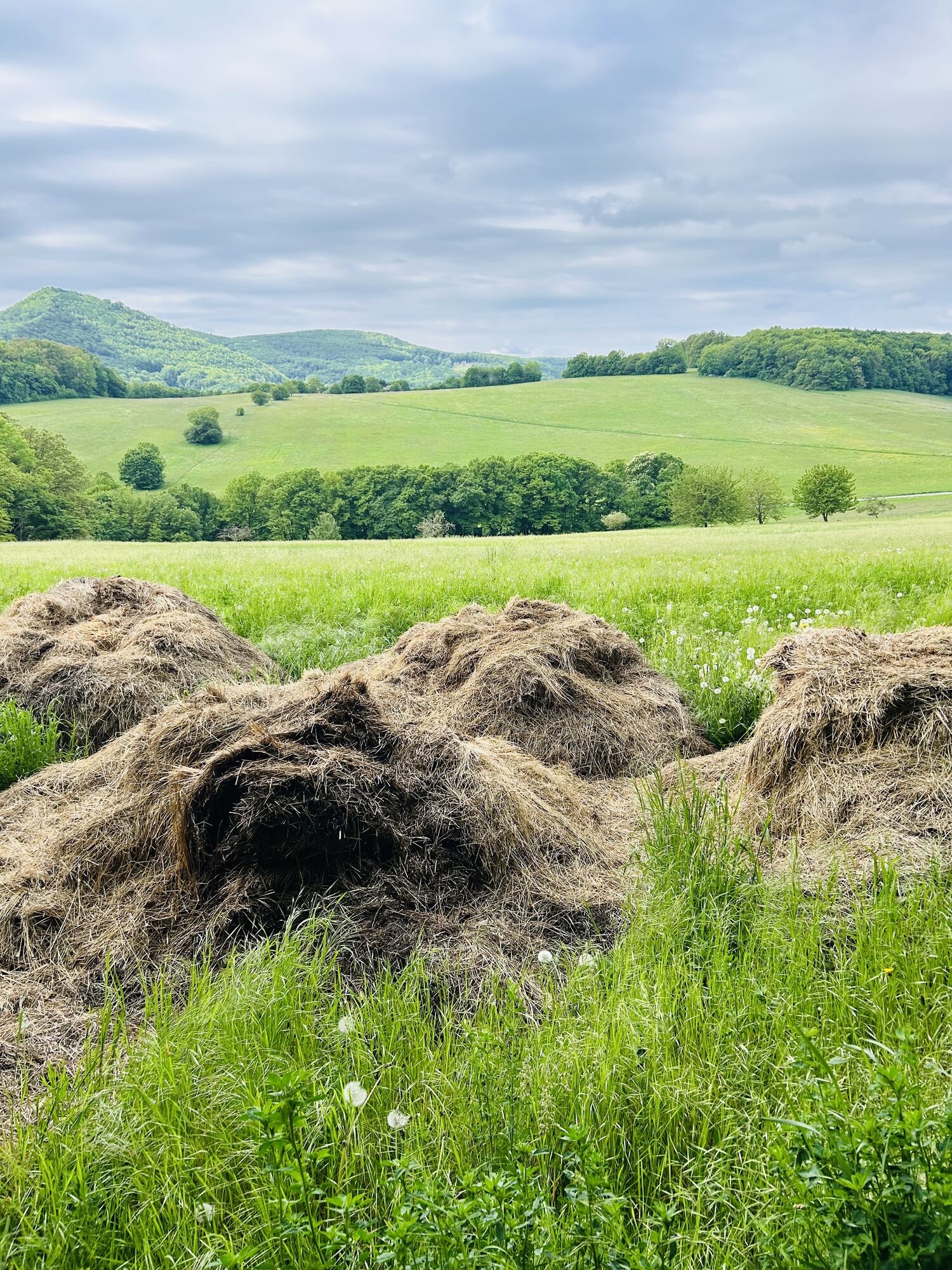
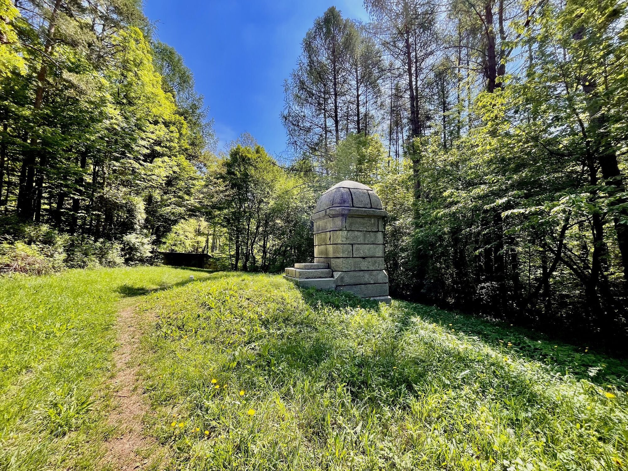
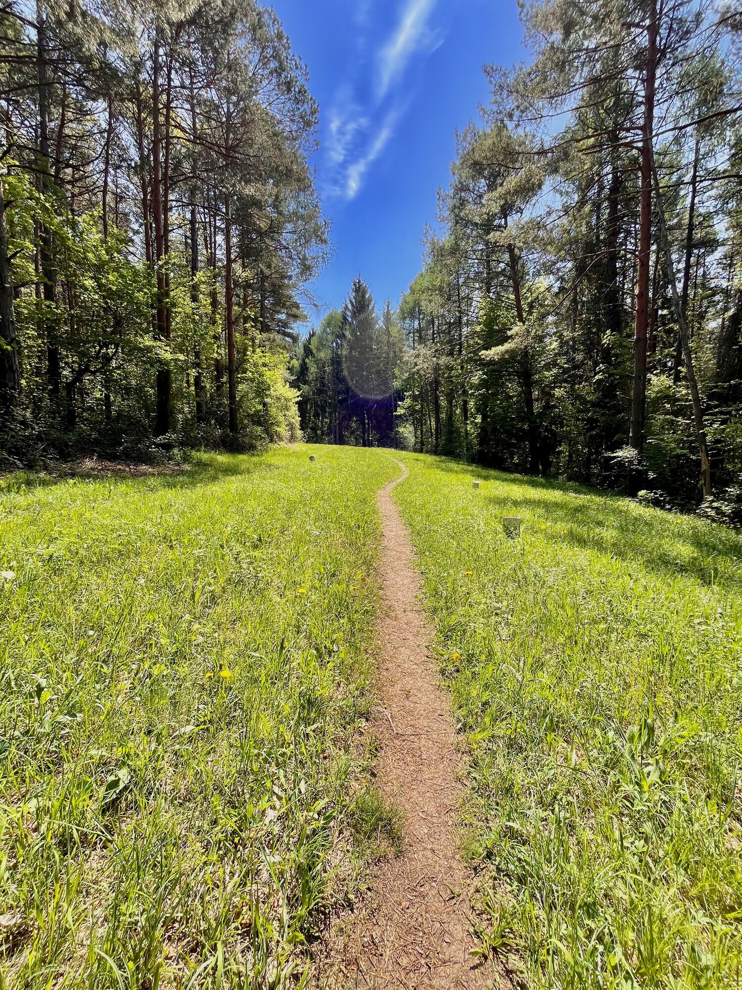
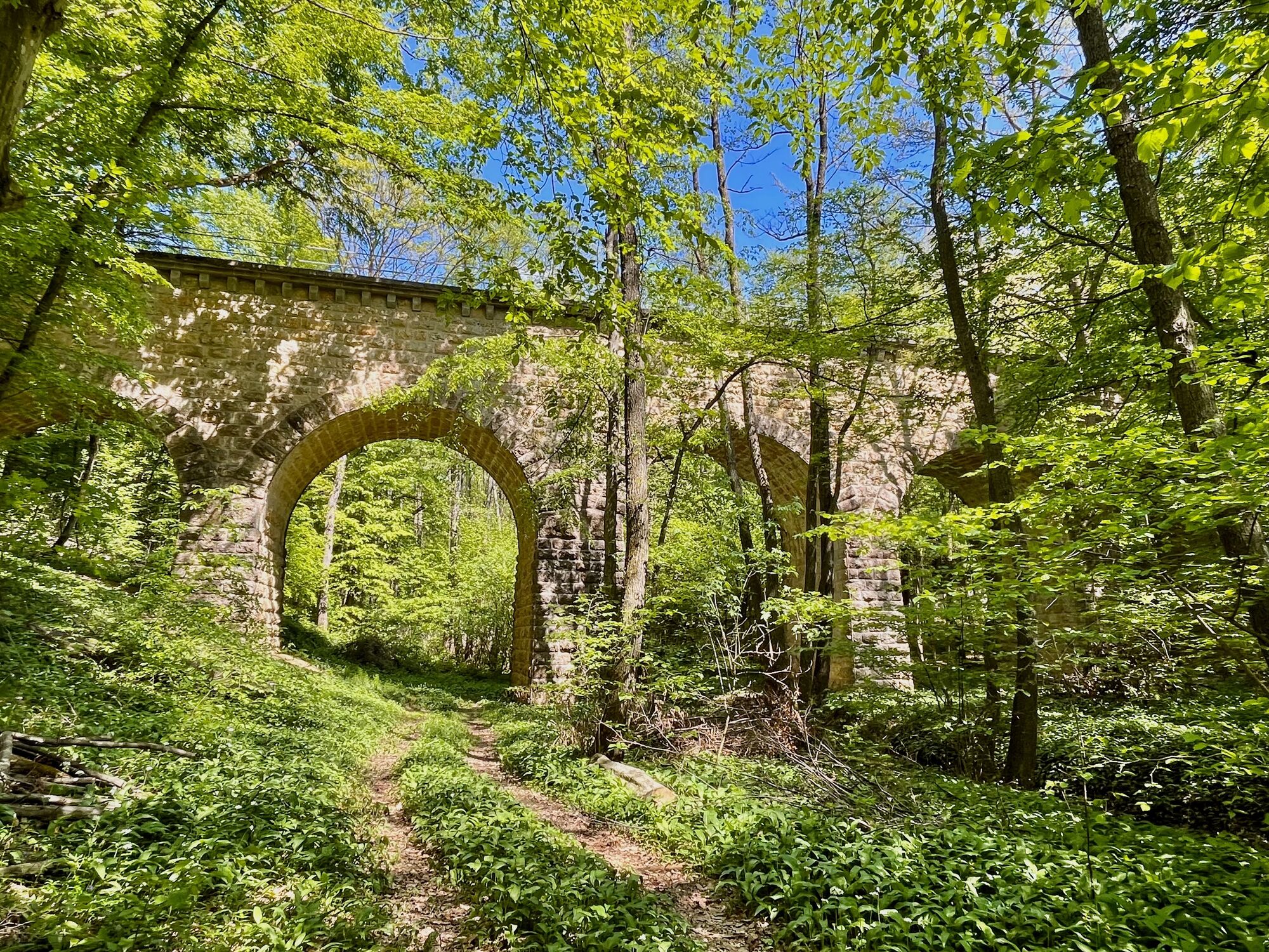
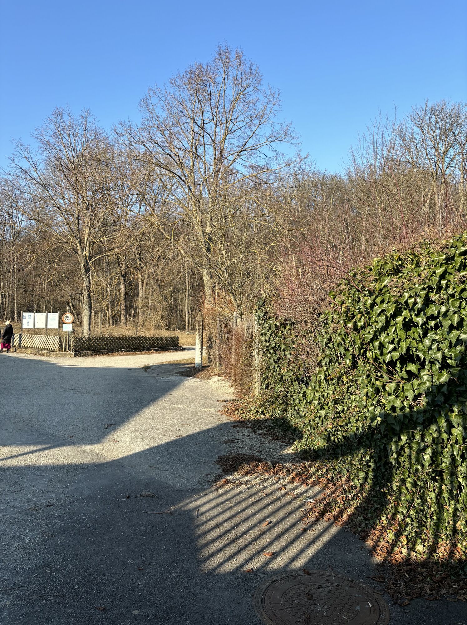
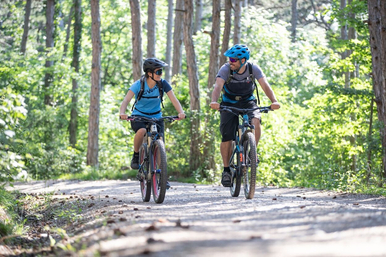
The Pappelteich route is a varied mountain bike route that stands out especially for its forest-rich course. It offers an exciting and daring route, which is especially an attractive leisure tip for residents...
<p>The Pappelteich route is a varied mountain bike route that stands out especially for its forest-rich course. It offers an exciting and daring route, which is especially an attractive leisure tip for residents of Vienna’s 13th and 23rd districts.</p>


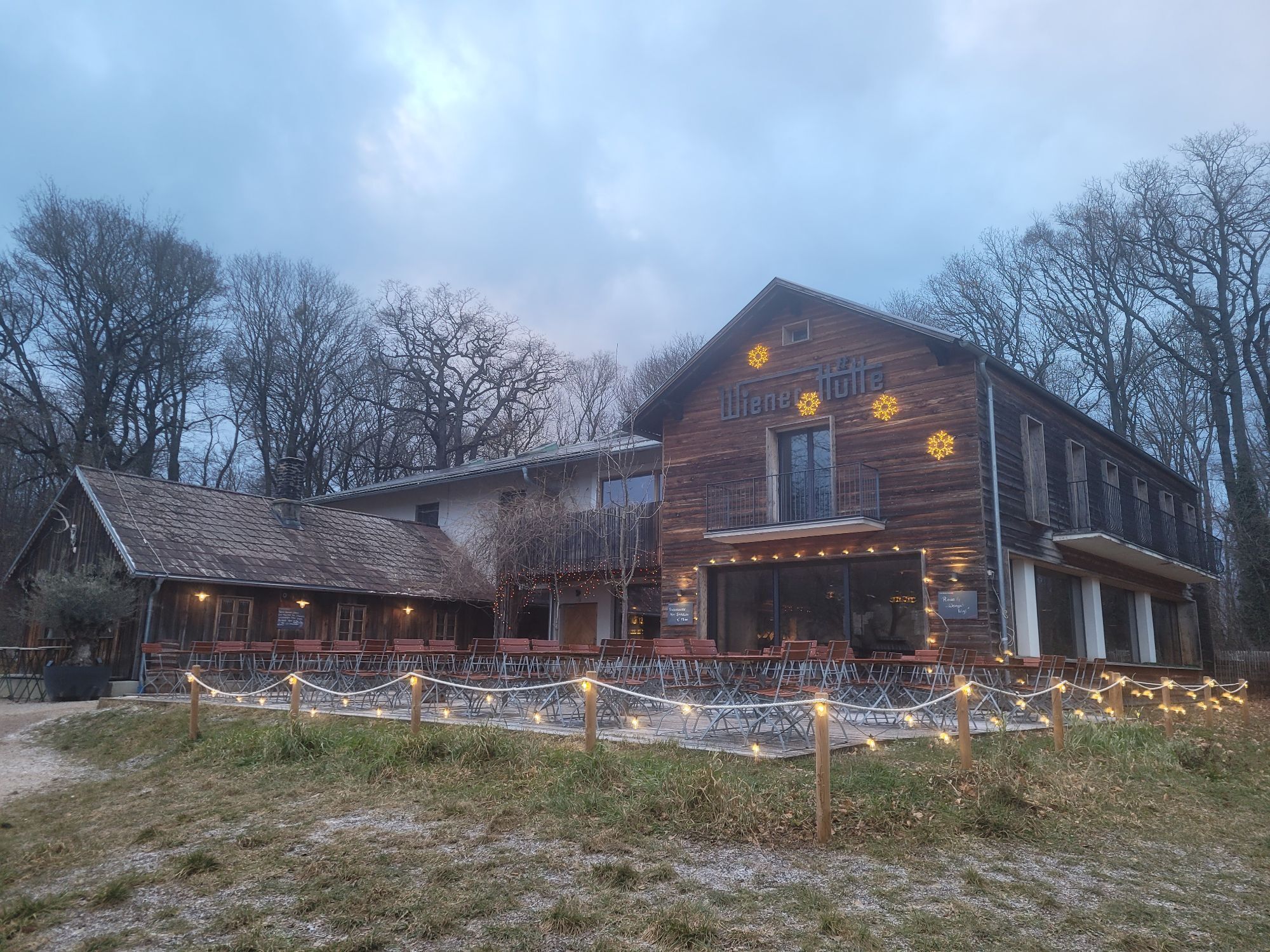
<p>From the end of Anton Krieger-Gasse in Mauer, we roll down to Breitenfurter Str., cross it, and cycle along the state border through the forest to the Wiener Hütte. A forest road and the Doktorberg trail lead us to the Kaltenleutgeben sports ground. We continue cycling over Dorotheawiese and Hirschentanz to Breitenfurt. Via Laab, we reach the Lainzertiergarten, which we accompany for a bit, and reach the starting point through the Maurerwald.</p><p>Surface: Asphalt 25%, gravel 54%, forest/meadow 21%</p>
<p>A safe and fully functional mountain bike is a requirement for all routes. Helmet and gloves protect in case of falls and can be supplemented with knee and elbow protectors on single/shared trails. A modern mountain bike with disc brakes and sufficient tire profile is recommended. For single and shared trails from the red difficulty level, a fully equipped bike with modern geometry is recommended. Tools, tire levers, pump, and spare tube help in case of a breakdown. Carrying enough provisions (drinks and food) as well as a mobile phone and wind/rain jacket is also advised.</p>
<p>Before each ride, check the functionality of brakes, tires, and suspension fork/damper. Always ride with hazard awareness and controlled speed, and adapt route choice to the riding skills of the group and terrain. The <strong><a href="www.wienerwald.info/mountainbiker-fai... Play</a></strong> rules must be observed at all times. Single/shared trails as well as built routes in trail parks and trail centers often feature stones, roots, steep sections, steps, and sharp turns that require a certain riding ability. When in doubt, simply dismount and push the bike.</p>
<p>Coming from the west, take A1 towards Vienna, continue on B1, turn right at Mantlergasse, turn left at Hietzinger Hauptstraße, turn right at Spohrstraße, turn left at Veitingergasse, turn right at Lainzer Straße, turn left at Preyergasse, right onto Hofwiesengasse, right onto Feldkellergasse, right onto Speisinger Straße, continue on Geßlgasse, continue on Maurer Lange Gasse.
</p><p>Coming from the south, take A2 to the A21 exit, follow A21 to the Brunn am Gebirge exit towards Perchtoldsdorf, B12/Brunner Straße to Ketzergasse, turn left at Ketzergasse, turn right at Manngasse, B13a/Breitenfurter Straße, right onto Rodauner Straße, left onto Haymogasse, right onto Katleingasse, right onto Kalksburger Straße, continue onto Maurer Lange Gasse.</p>
The altitude data for this route were calculated based on A-MAP. Slight differences in values are unavoidable due to different map bases from routing/navigation apps and devices. More information can be found in the following blog post!
Wienerwald Tourismus GmbH
Hauptpl. 11, 3002 Purkersdorf
Tel. +43/2231/621 76
Email: office@wienerwald.info
Website: www.wienerwald.info
Information on possible excursion destinations:
KaltenleutgebenLaab im WaldeBreitenfurt bei WienDining options:
Wiener Hütte
Obtenez un aperçu
Toujours en direct avec plus de 9.500 webcams. En tant qu'utilisateur Pro, vous pouvez désormais voir les webcams correspondantes à de nombreuses randonnées dans l'application de randonnées de bergfex. Vous pouvez ainsi voir directement les conditions actuelles.
Parcours populaires à proximité
-
4,8
Kalenderberg und Burg Liechtenstein
facileRandonnée 8,48 km -
4,6
Angelos Touren: vom Helenental auf den Hohen Lindkogel
moyenRandonnée 11,4 km -
4,8
Landschaftspark Liechtenstein - Angelos Touren
facileRandonnée 6,70 km -
4,6
Stadtwanderweg 6 / Zugberg - Maurer Wald (lt. Beschilderung)
facileRandonnée 13,3 km -
4,6
Abend/Nachtwanderung Teufelstein
facileRandonnée 7,15 km -
4,6
Naturpark Sparbach
facileRandonnée 7,08 km -
4,6
Stadtwanderweg 7 - Laaer Berg / lt. Beschilderung
facileRandonnée 14,2 km -
4,5
Stadtwanderweg 4
facileRandonnée 8,48 km -
4,5
Stadtwanderweg 3, Hameau (lt. Beschilderung)
facileRandonnée 9,78 km -
4,5
AUGUSTINERHÜTTE Parkplatz bei B210 Hoher Lindkogel, Langes Tal 20221030
moyenRandonnée 8,02 km

Randonnée et suivi


Ne manquez pas les offres et l'inspiration pour vos prochaines vacances
Votre adresse électronique a été ajouté à la liste de diffusion.





