







Wackelsteinweg


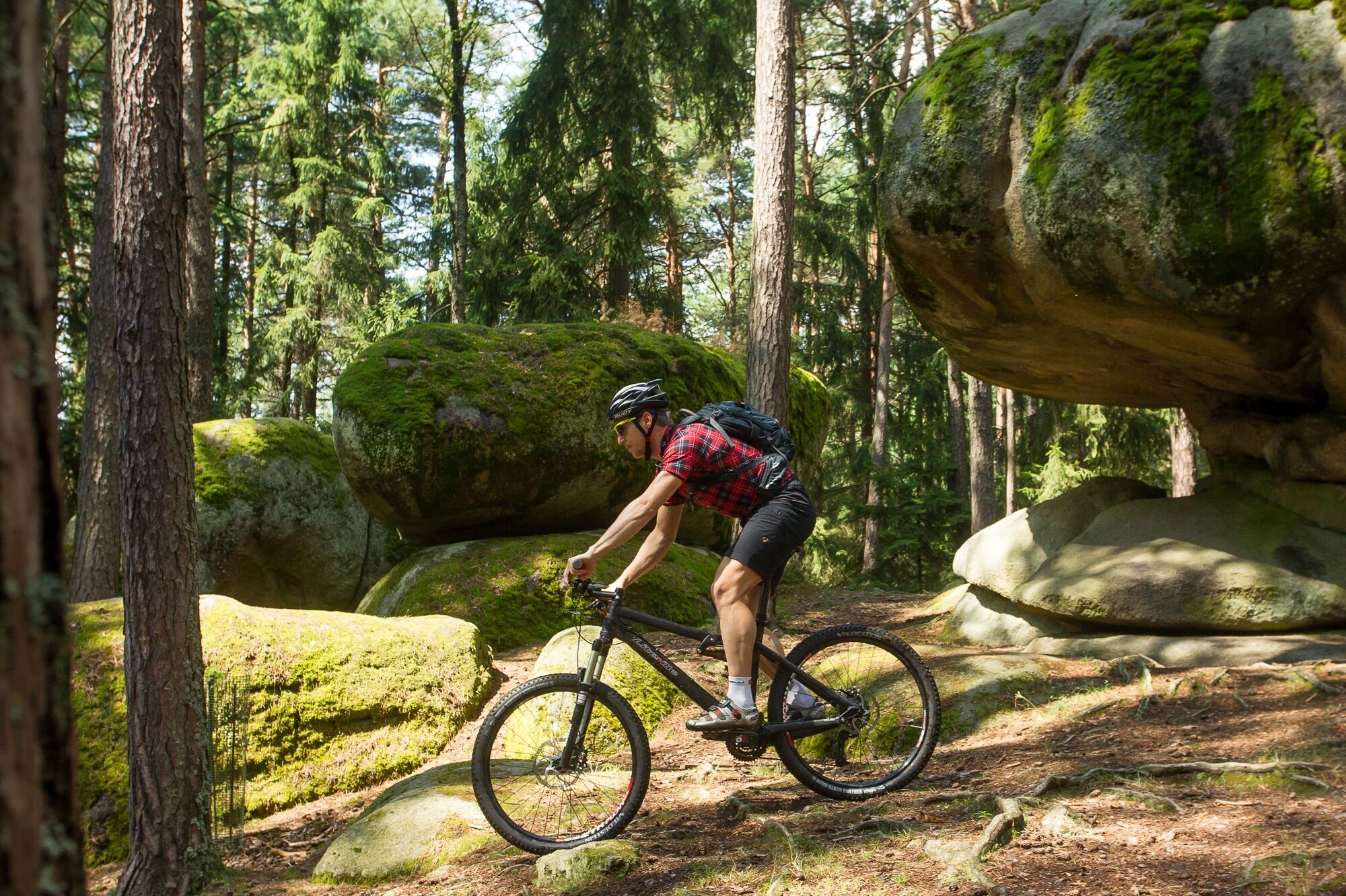

<p>Starting from the main square, head towards Gebharts, where we join the circular route. From here, you can cycle via the “Lange Furt” and Wackelsteinstraße to Amaliendorf. Shortly before reaching Amaliendorf, on the left you will see the “Kas im Lab” and a little further on the right side the famous “Wackelstein”. We cycle along the main road through the entire village towards Wielandsberg, but before leaving the village, turn right towards Haslau. After the Haslau pond, turn right towards Gebharts. In Gebharts, turn right again at the fire station unless you want to take a break at the guesthouse “Paula-Tant” or at the Kräuterhof Zach. The forest path now becomes a woodland path – passing the “Taufstein” until you reach the main road at the Hartberg quarry. From there, it goes back to the starting point.</p>
<p>From St. Pölten take S33 to Krems, B37 to Rastenfeld, B38 to Zwettl, B36 to Großhaslau, then turn left and continue via Limbach and Kirchberg am Walde to Schrems.</p><p>From Vienna take A22 to Stockerau Nord exit, continue on B4 to Horn, B2 to Schrems.</p><p>From the west take A1 to A7 exit, continue on A7 to Unterweitersdorf - on S10 to Sandl exit - via B38 to Karlstift - continue on B41 to Schrems.</p>
Waldviertel Tourism
3910 Zwettl, Sparkassenplatz 1/2/2
(T) +43 2822 54109
(E) info@waldviertel.at
(I) www.waldviertel.at
Fun & Bike Association Upper Waldviertel/South Bohemia
3874 Litschau, Stadtplatz 53
Service hotline: (T) +43 664 9411868
April-October from 10 am to 6 pm
(E) info@funbiketrails.com
(I) www.funbiketrails.com
Municipality of Schrems
3943 Schrems, Hauptplatz 19
(T) +43 2853 77454
(E) gemeinde@schrems.at
(I) www.schrems.at
On this occasion, visit the popular excursion destinations in Schrems, such as the Schrems moor bath, the UnterWasserReich, or the Waldviertel Art Museum. Or book a tour in the Schrems brewery or in the Waldviertel workshops. Relax and recharge in one of the guesthouses or cafés in Schrems.
Parcours populaires à proximité
-
4,5
Teiche-Radroute (Strecke 2020) Niederösterreich
moyenFaire du vélo 48,7 km -
4,2
Blockheiderunde
facileRandonnée 6 km -
4,9
Mythologieweg Blockheide
facileRandonnée 4,96 km -
5,0
Thayarunde Slavonice-Waidhofen-Göpfritz
moyenFaire du vélo 47,5 km -
4,6
Gmünd: Blockheide mit Wackelsteinen
facileRandonnée 8,14 km -
4,6
Gemeinde Heidenreichstein - Winkelauer Berg - Seyfrieds
facileRandonnée 7,24 km -
5,0
Naturlehrpfad Heidenreichsteiner Moor
facileRandonnée 4,56 km -
4,0
Gmünd Blockheide
facileChemin thématique 8,18 km -
5,0
Sentier Höllgraben
moyenRandonnée 8,89 km -
5,0
TiWaLi - Neu-Nagelberg Grenzweg, Österreich
facileRandonnée 10,7 km
Randonnée et suivi


Ne manquez pas les offres et l'inspiration pour vos prochaines vacances
Votre adresse électronique a été ajouté à la liste de diffusion.





