







Weinstein tour
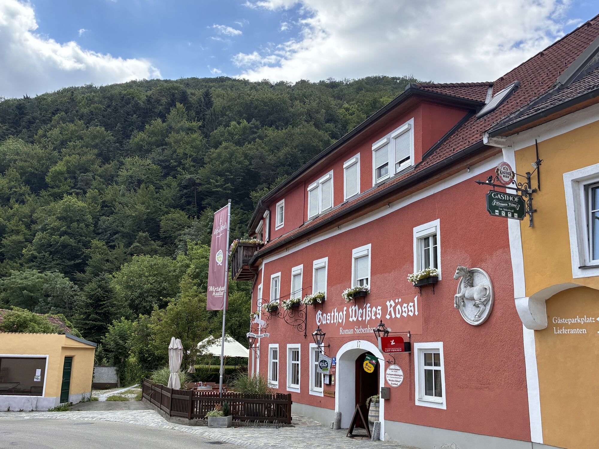
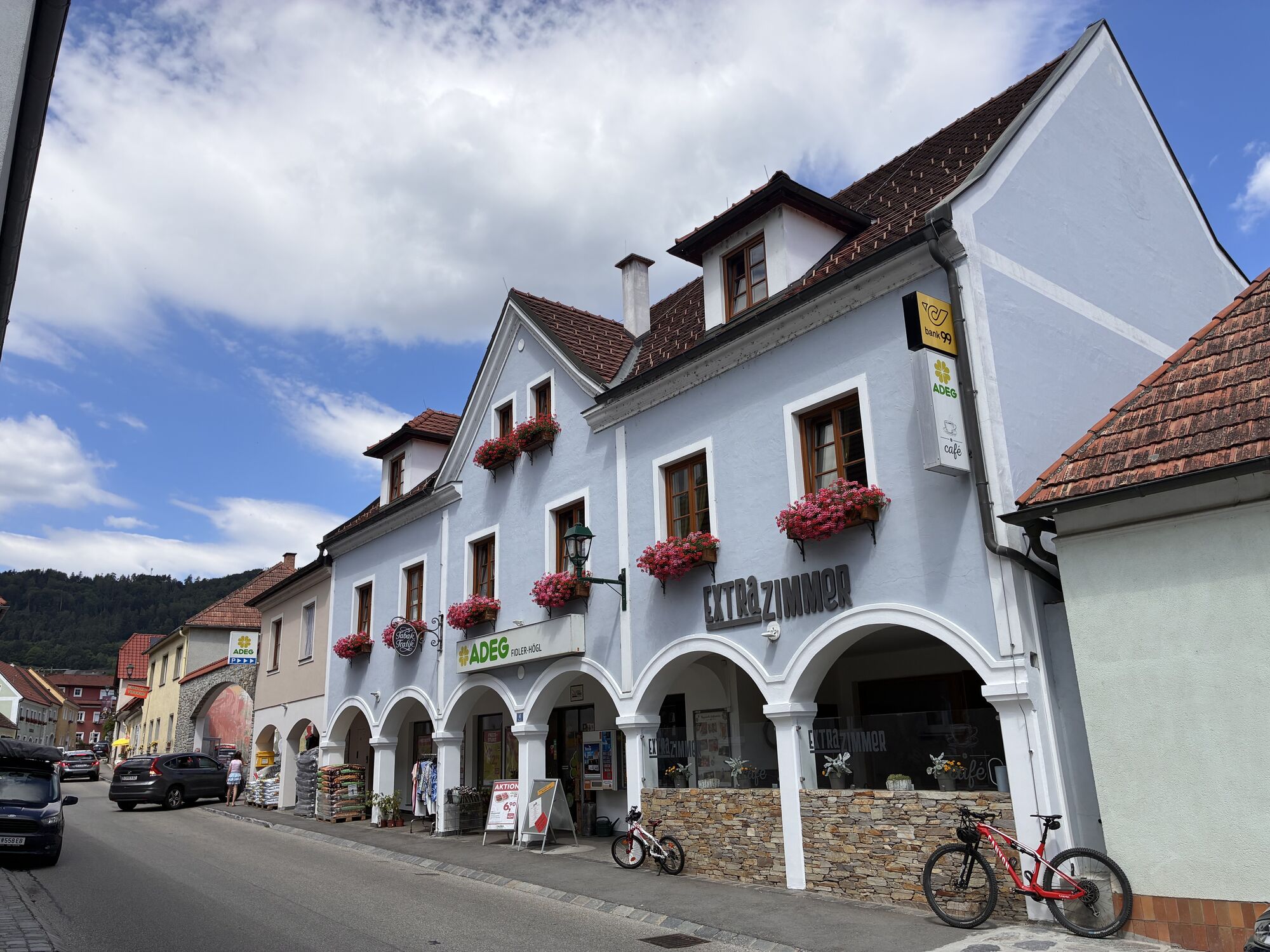
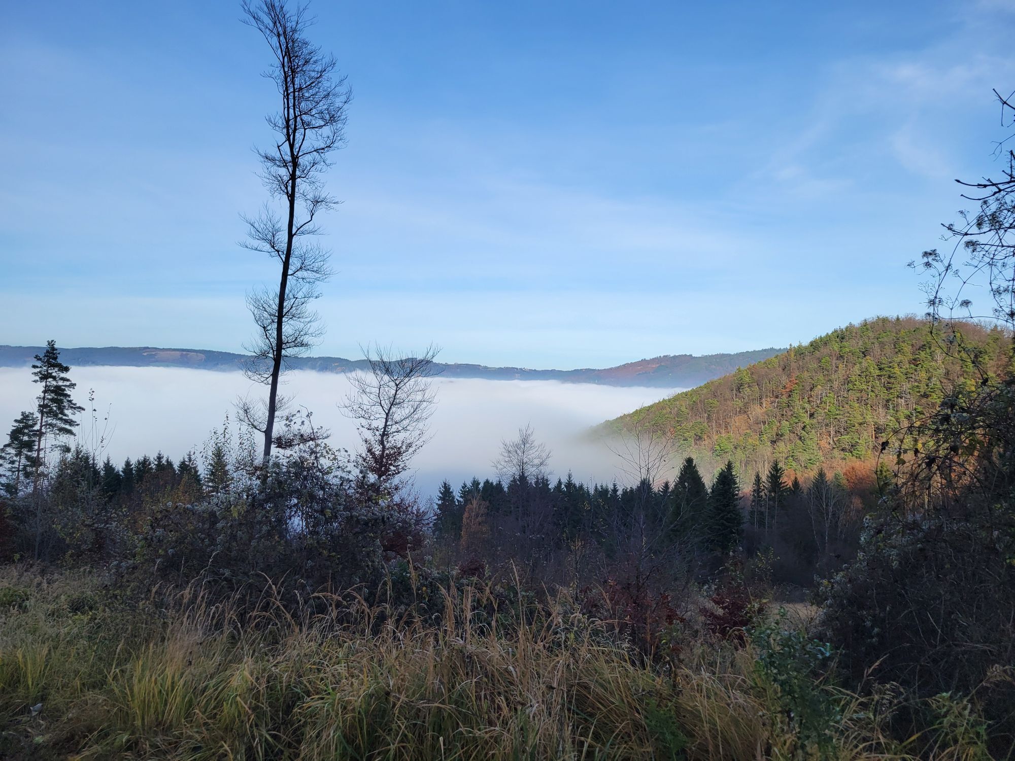

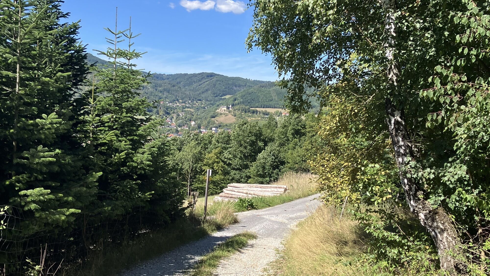
Only 6 km northwest of Spitz on the Danube, this route starts in Mühldorf at the main square.
The route is continuously signposted and can also be easily ridden in sections. And the best part: at any point...
<p>Only 6 km northwest of Spitz on the Danube, this route starts in Mühldorf at the main square.<br />The route is continuously signposted and can also be easily ridden in sections. And the best part: at any point on the route, you can go downhill back to the finish! This MTB route is suitable for every biker and offers a variety of unforgettable impressions. The route is unique; we ride almost exclusively on forest and woodland paths, with the proportion of asphalt sections being negligible. Demanding single trails alternate with great downhills, with only a few flat sections between the mountains to get your pulse back to normal rates.</p>

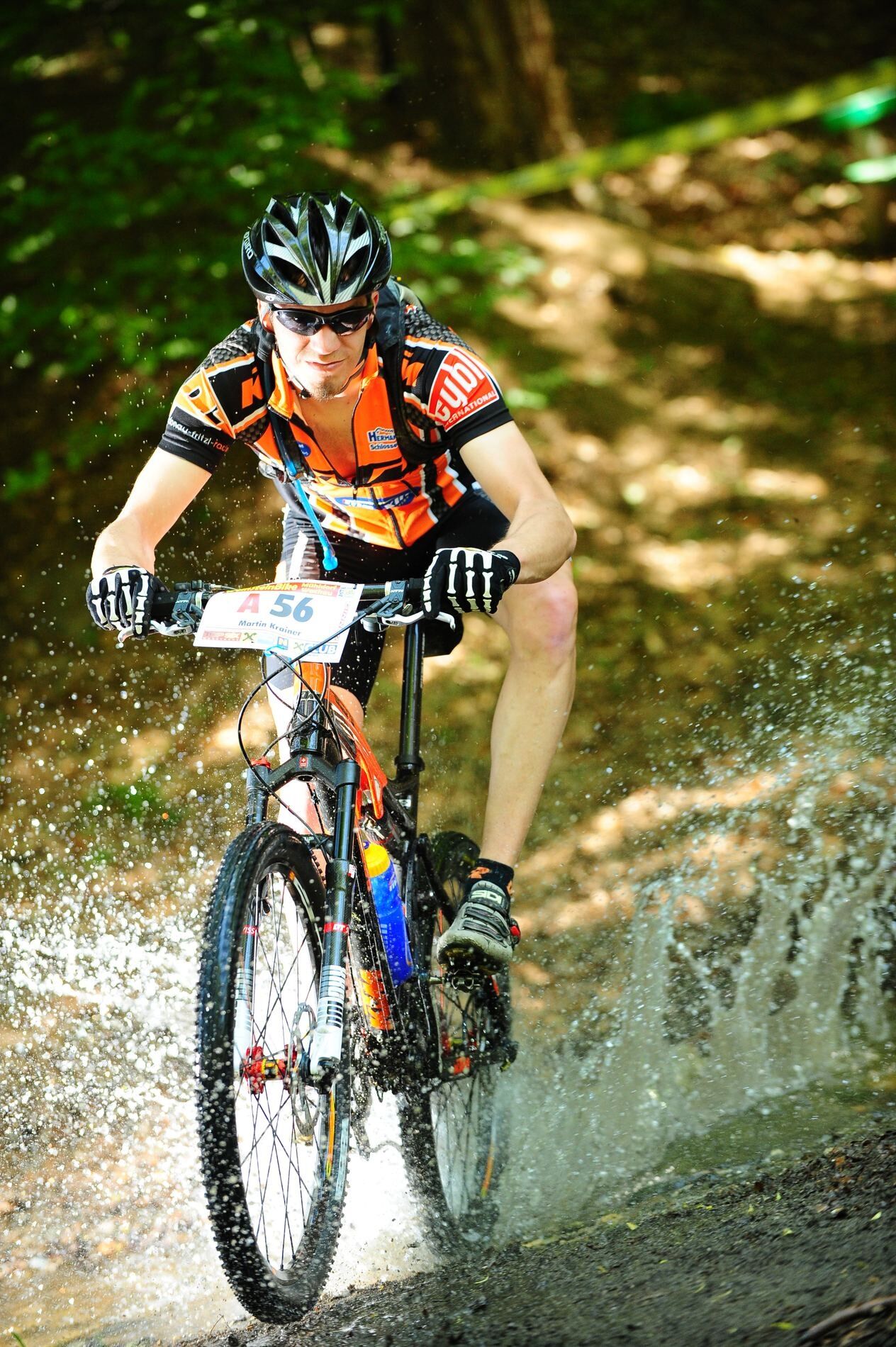
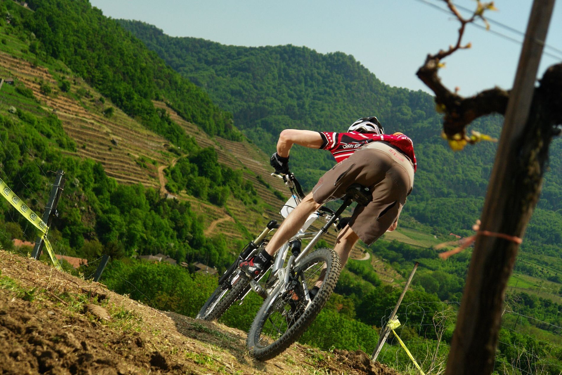

<p>From the main square, we ride past Austria's first Raiffeisen bank, then a steep climb follows up to the Bärenwände. The view from this mystical rock ridge compensates us for the effort, and now a lively downhill follows to Niederranna. After the first rest break, we continue past the historic and widely known Oberranna castle and over Fohra and Eichberg up to Lothauhof. A magnificent view and the anticipation of the following downhill reward the strenuous root sections.<br />Graphite has been mined in Amstall for centuries. Our path leads directly through the factory premises, where special caution is required. From the vineyard, we look southwards with joyful anticipation and respect toward the Jauerling. But before that, the downhill through a steep hollow path gets really intense once more.<br />A refreshment in Trandorf is recommended, because now comes the heart of the route - the climb to the Jauerling. From Povat, we pedal up the old forest road over many switchbacks to the summit at 960 m above sea level. A detour to the observation tower with views as far as Ötscher and Dachstein is always worthwhile.<br />The downhill over root passages and bumpy old forest roads brings us to the region’s oldest vineyards on the southern slopes of the Trennings. After one last single trail to Elsarn, we then return to Mühldorf town center with a variety of impressions.</p>
<p>S33 or S5 to Krems and from here take the Wachaubundestraße to Spitz, turn right here into the Spitzerbachtal and continue to Mühldorf</p>
<p>Marktplatz Mühldorf</p>
Municipality of Mühldorf
3622 Mühldorf, Markt 13
(T) +43 2713 8230
(E) gemeinde@muehldorf-wachau.at
(I) www.muehldorf-wachau.at
(I) www.weinsteintour.at
Waldviertel Tourism
3910 Zwettl, Sparkassenplatz 1/2/2
(T) +43 2822 54109
(E) info@waldviertel.at
(I) www.waldviertel.at
Obtenez un aperçu
Toujours en direct avec plus de 9.500 webcams. En tant qu'utilisateur Pro, vous pouvez désormais voir les webcams correspondantes à de nombreuses randonnées dans l'application de randonnées de bergfex. Vous pouvez ainsi voir directement les conditions actuelles.
Parcours populaires à proximité
-
4,4
Welterbesteig Wachau 03: Weißenkirchen-Spitz
facileChemin de Grande Randonnée 10,4 km -
4,7
Rundhöhenwanderweg Weißenkirchen in der Wachau - Schildhütten - Cholerakreuz - Weißenkirchen
facileRandonnée 8,75 km -
4,7
Wachau: Seekopf - Hirschwand
moyenRandonnée 10,4 km -
4,5
Panoramaweg Weissenkirchen
facileRandonnée 5,04 km -
4,5
Maria Langegg - Rote Wand - Hoher Stein - Kastlkreuz
moyenRandonnée 11,4 km -
4,5
Seekopf und Hirschwand
moyenRandonnée 2,83 km -
4,5
Hirschwand und Seekopf
moyenRandonnée 9,09 km -
4,7
Smaragdeidechse Wachau
facileRandonnée 4,78 km -
3,9
Spitz a. d. Donau Jauerling Schwallenbach retour 16.04.2016
moyenRandonnée 20 km -
3,9
Spitz - Buchberg - Runde
moyenRandonnée 9,60 km
Randonnée et suivi


Ne manquez pas les offres et l'inspiration pour vos prochaines vacances
Votre adresse électronique a été ajouté à la liste de diffusion.





