


Naturpark Hohe Wand circular hiking trail - in Wildenauer's footsteps
Photos de nos utilisateurs
 © Leopold SchlögelhoferCréé le 09.08.2025
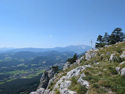 © Leopold SchlögelhoferCréé le 09.08.2025
 © Aga MCréé le 22.02.2025
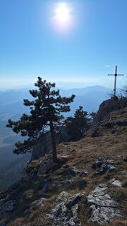 © Aga MCréé le 22.02.2025
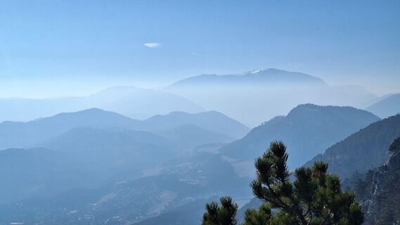 © Aga MCréé le 22.02.2025
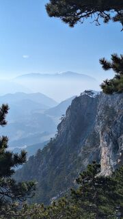 © Aga MCréé le 22.02.2025
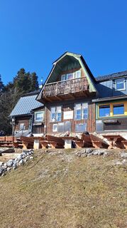 © Aga MCréé le 22.02.2025
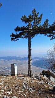 © Aga MCréé le 22.02.2025
 © Anton GigeleCréé le 28.09.2025
 © Anton GigeleCréé le 28.09.2025
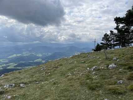 © Anton GigeleCréé le 28.09.2025
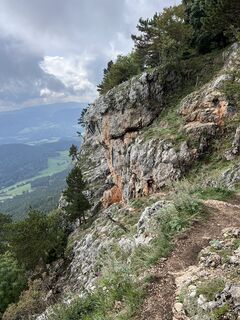 © Anton GigeleCréé le 28.09.2025
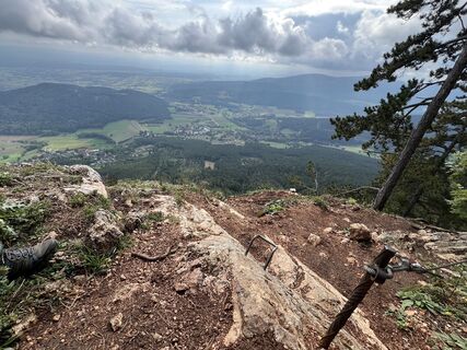 © Anton GigeleCréé le 28.09.2025
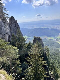
 © Marlies BerweinCréé le 21.07.2024
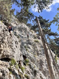 © Marlies BerweinCréé le 21.07.2024
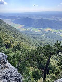 © Marlies BerweinCréé le 21.07.2024
 © Marlies BerweinCréé le 21.07.2024
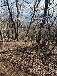
 © KamilCréé le 08.03.2026
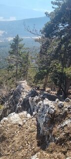
 © Mario LibardiCréé le 27.02.2026
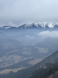
 © Georgiamartin0815Créé le 14.02.2026
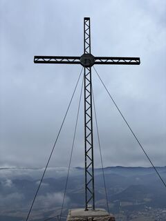 © Georgiamartin0815Créé le 14.02.2026
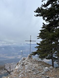 © Georgiamartin0815Créé le 14.02.2026
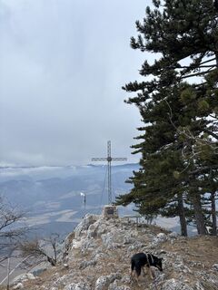 © Georgiamartin0815Créé le 14.02.2026
 © Georgiamartin0815Créé le 14.02.2026
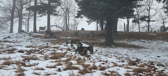 © Mario LibardiCréé le 06.02.2026
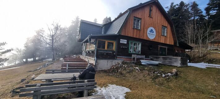 © Mario LibardiCréé le 06.02.2026
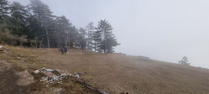 © Mario LibardiCréé le 06.02.2026
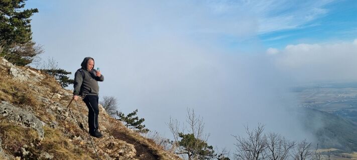 © Mario LibardiCréé le 06.02.2026
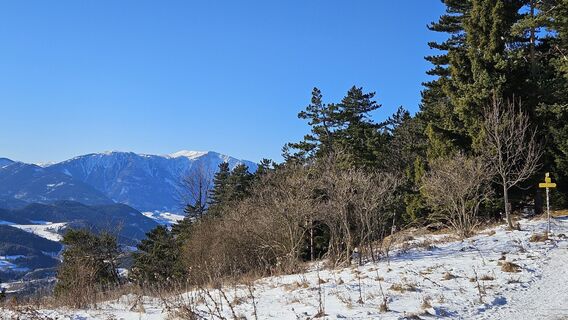
 © Klaus WolfingerCréé le 03.01.2026
 © Karin SvozilCréé le 21.12.2025
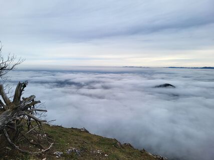 © Silvia72Créé le 16.12.2025
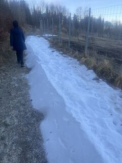 © kristianduusCréé le 14.12.2025
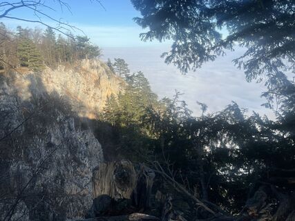 © kristianduusCréé le 14.12.2025
 © kristianduusCréé le 14.12.2025
 © kristianduusCréé le 14.12.2025
 © Karin SvozilCréé le 14.12.2025
 © kristianduusCréé le 14.12.2025
 © kristianduusCréé le 14.12.2025
 © kristianduusCréé le 14.12.2025
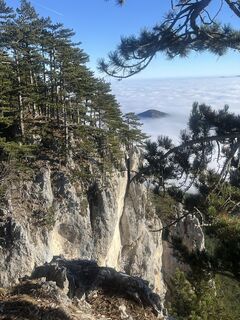 © kristianduusCréé le 14.12.2025
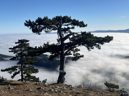 © kristianduusCréé le 14.12.2025
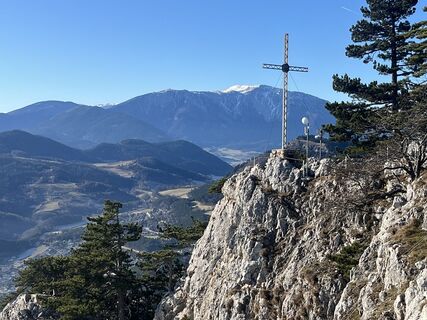 © kristianduusCréé le 14.12.2025
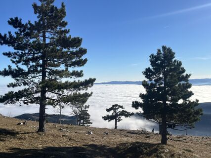 © kristianduusCréé le 14.12.2025
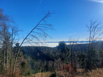 © Karin SvozilCréé le 14.12.2025
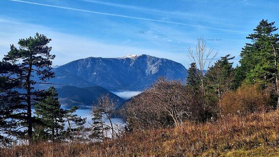
 © Regina FleischmannCréé le 16.11.2025
 © Regina FleischmannCréé le 16.11.2025
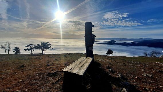 © Regina FleischmannCréé le 16.11.2025
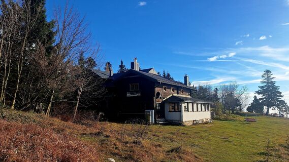 © Regina FleischmannCréé le 16.11.2025


The most renowned pioneer of the development phase of the Hohe Wand is Pastor Alois Wildenauer. From 1911 to 1921 he looked after the parish of Grünbach and named the time of his work there the most beautiful...
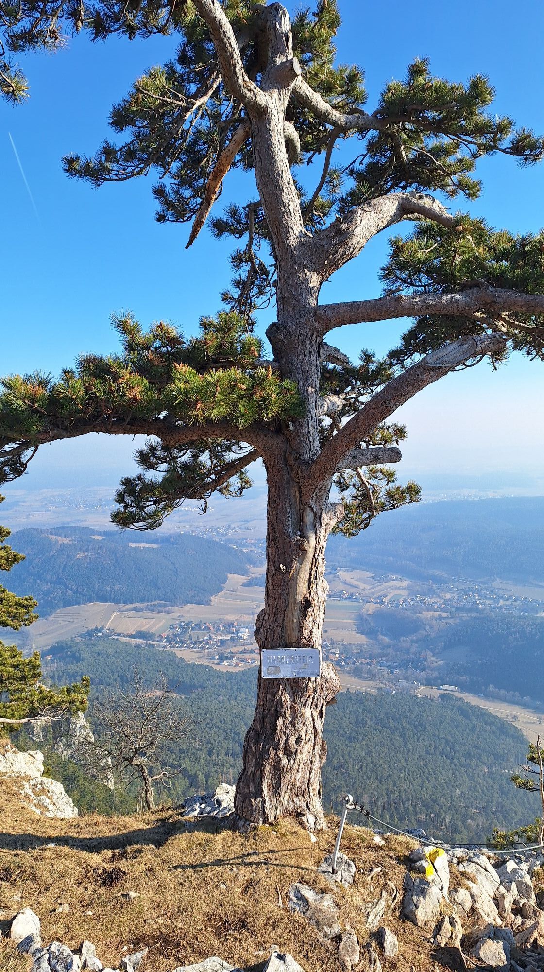
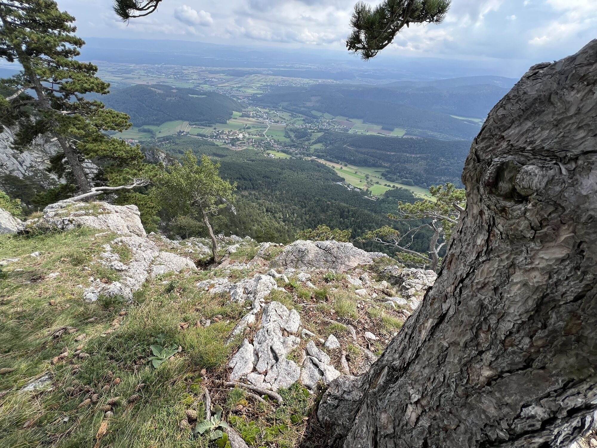
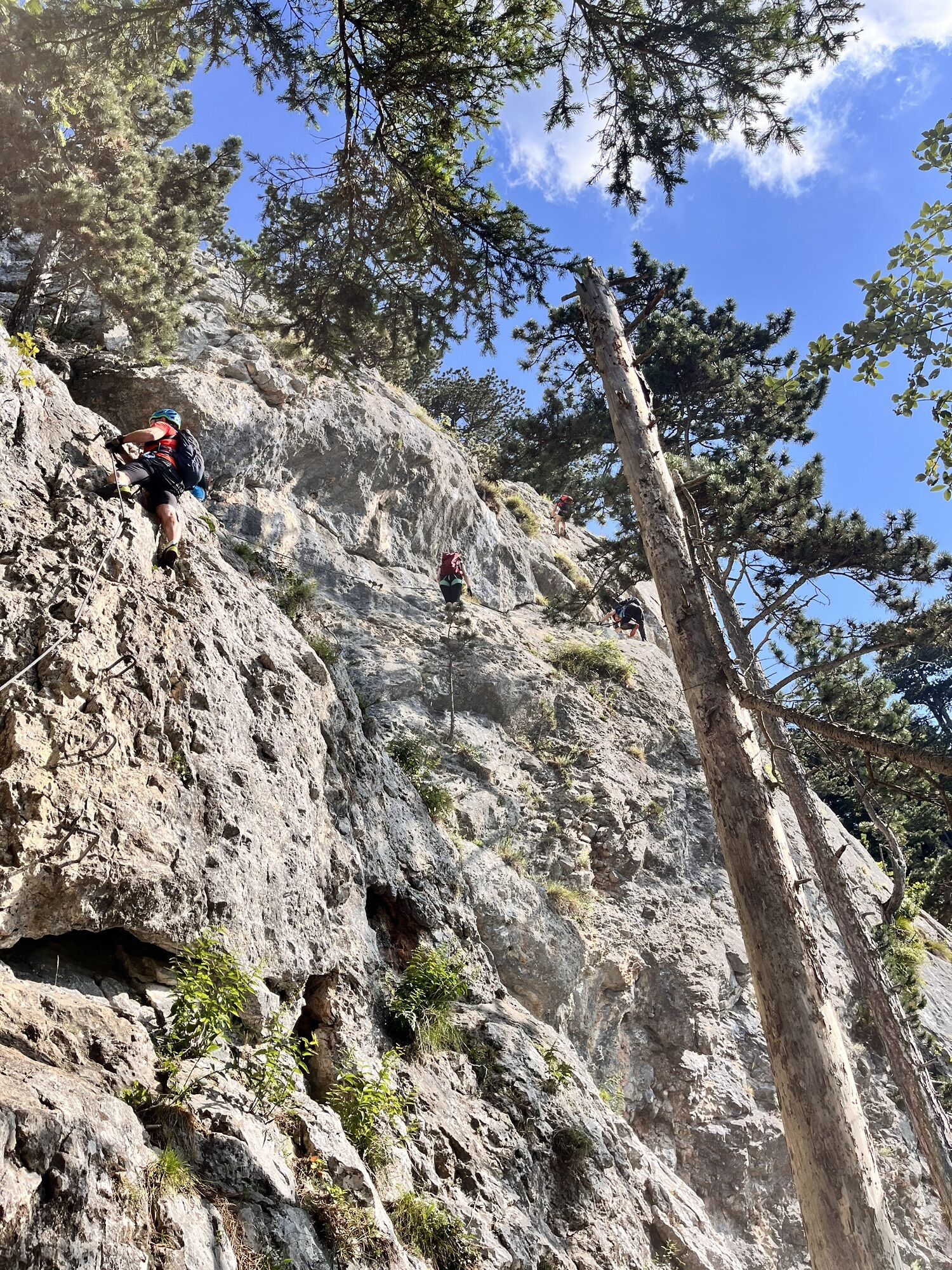
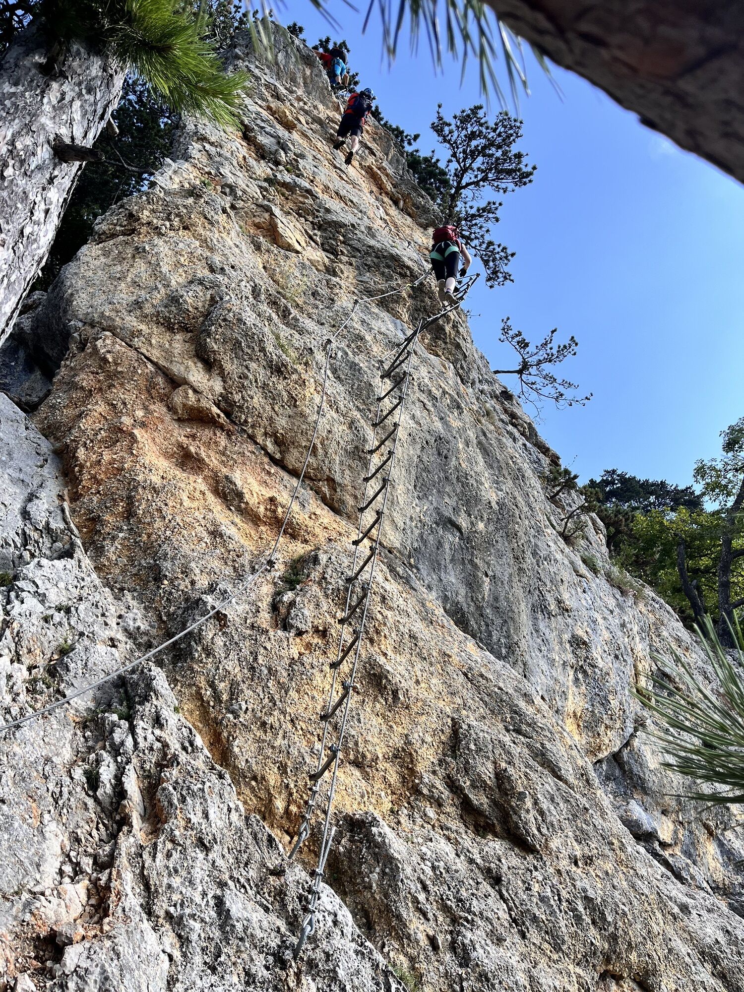
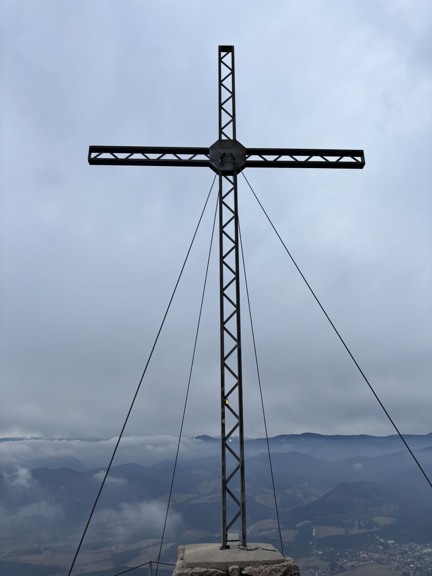
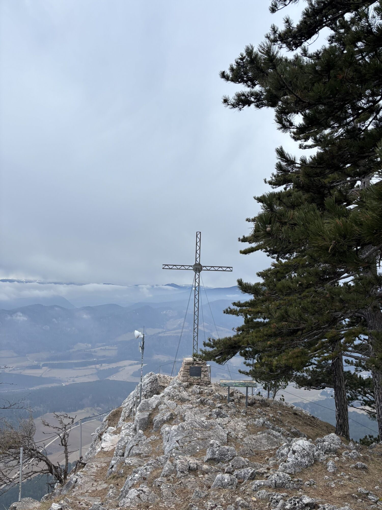
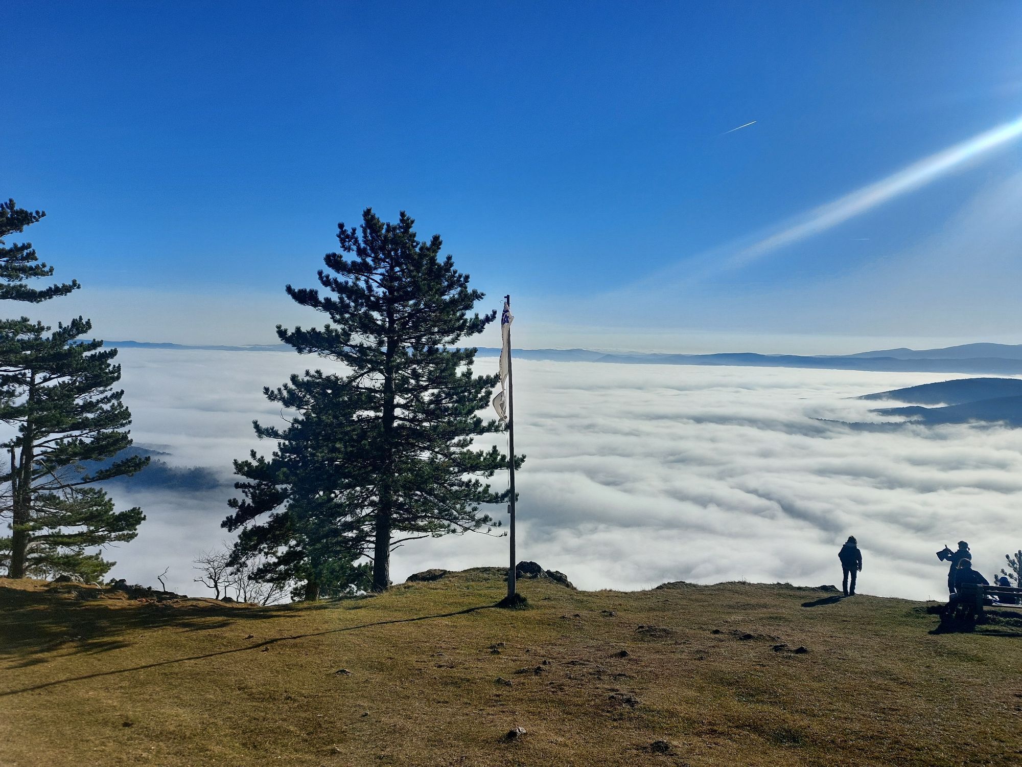
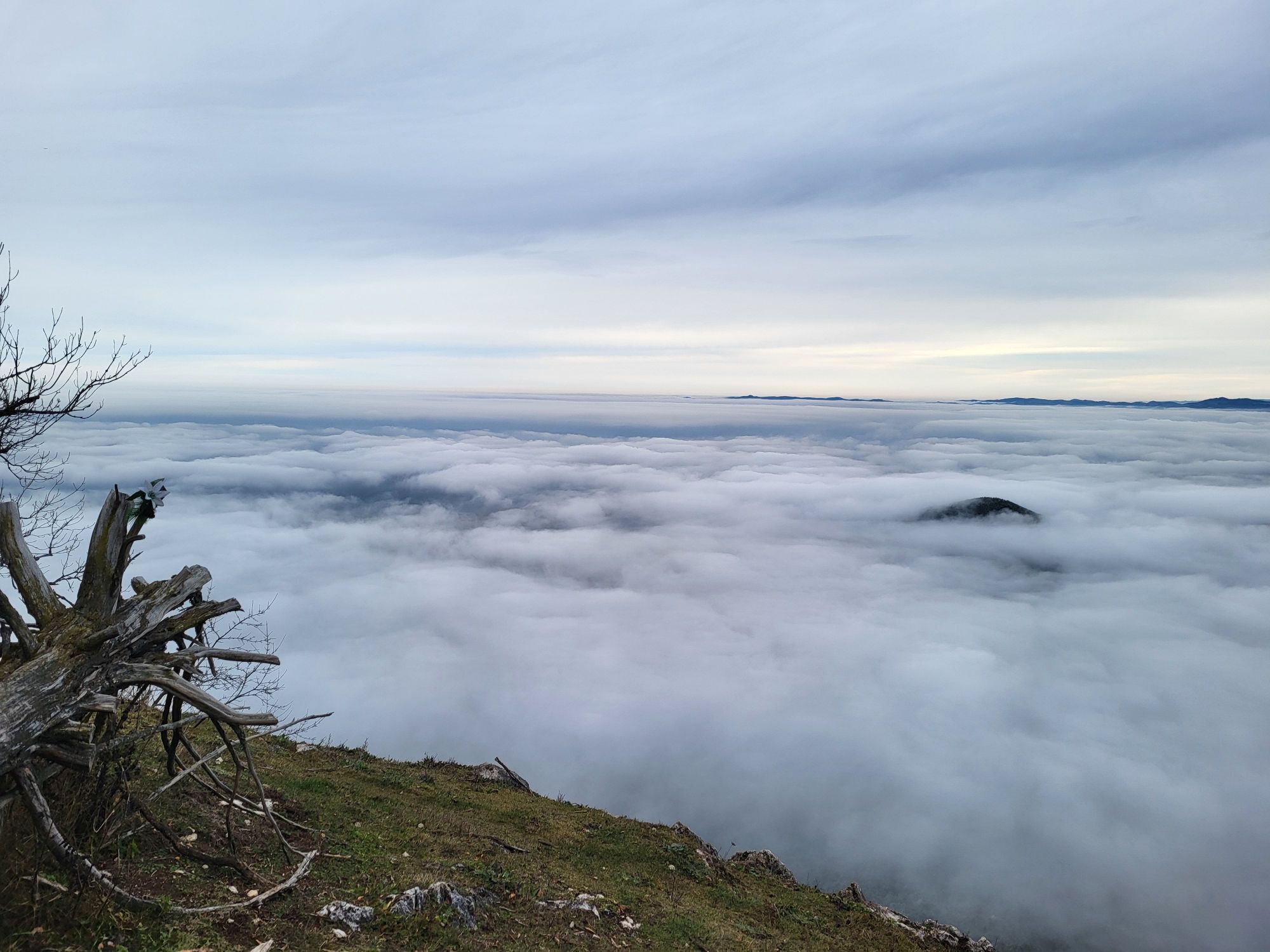
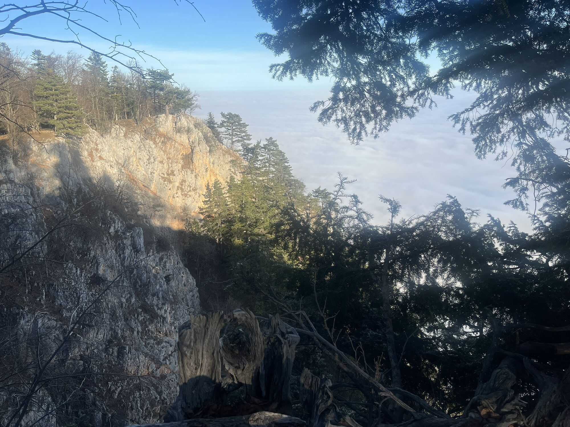
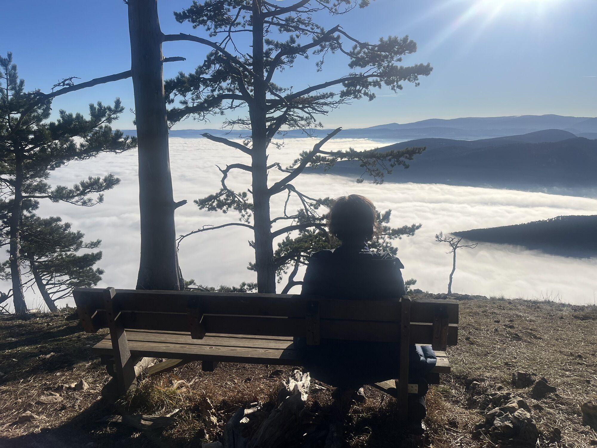
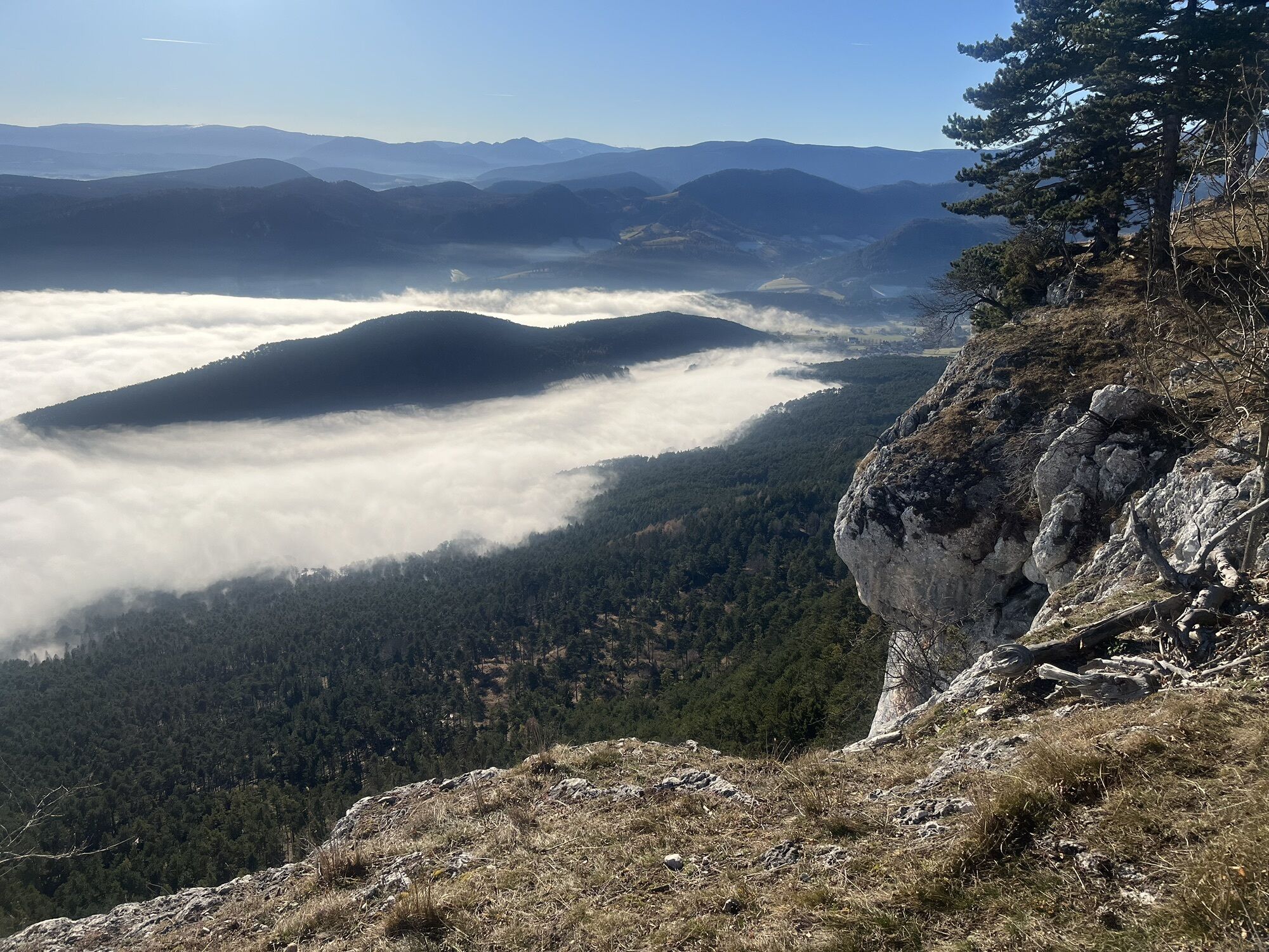
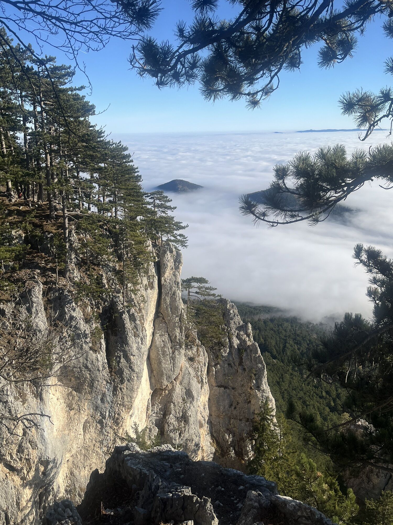
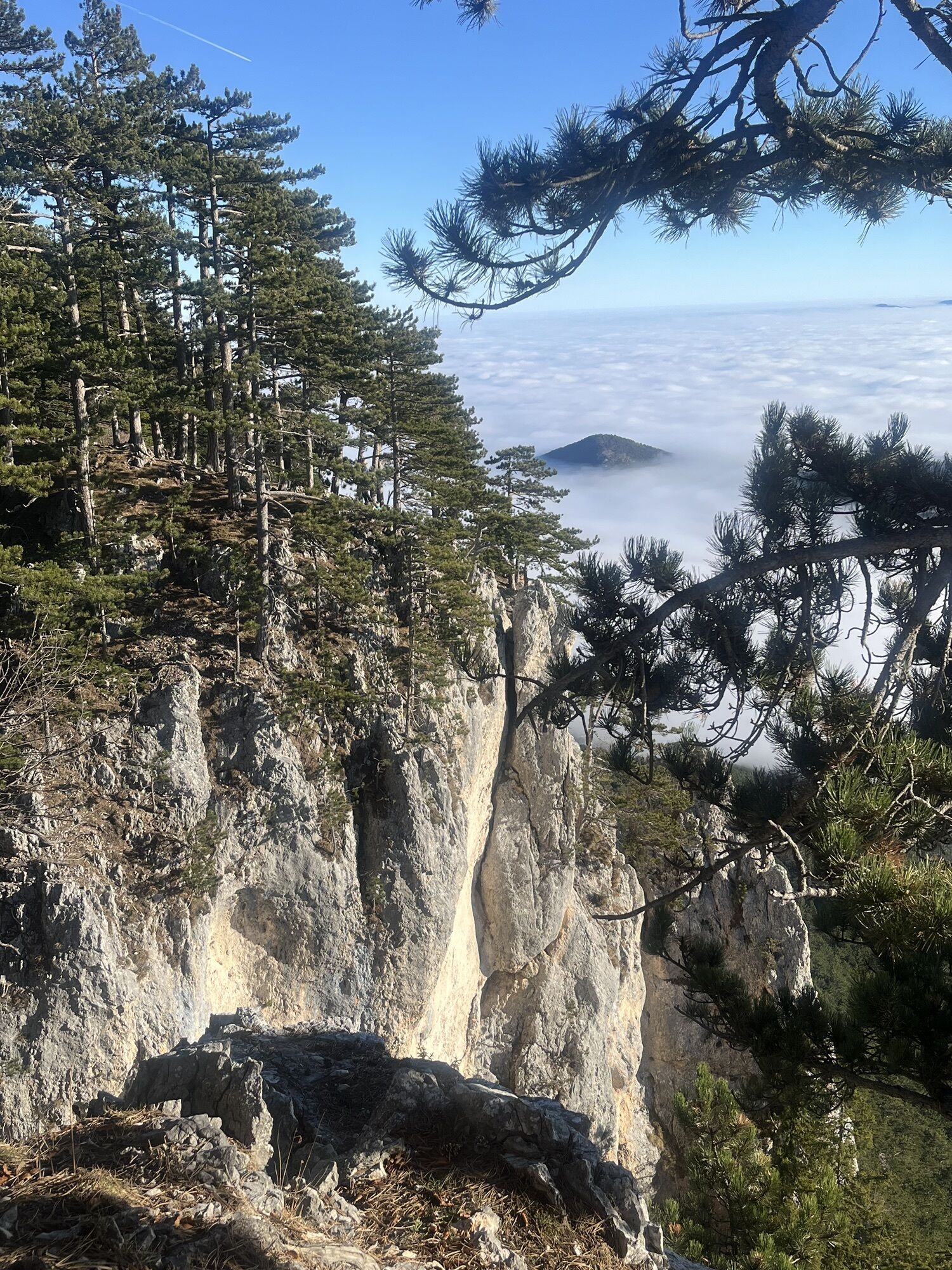
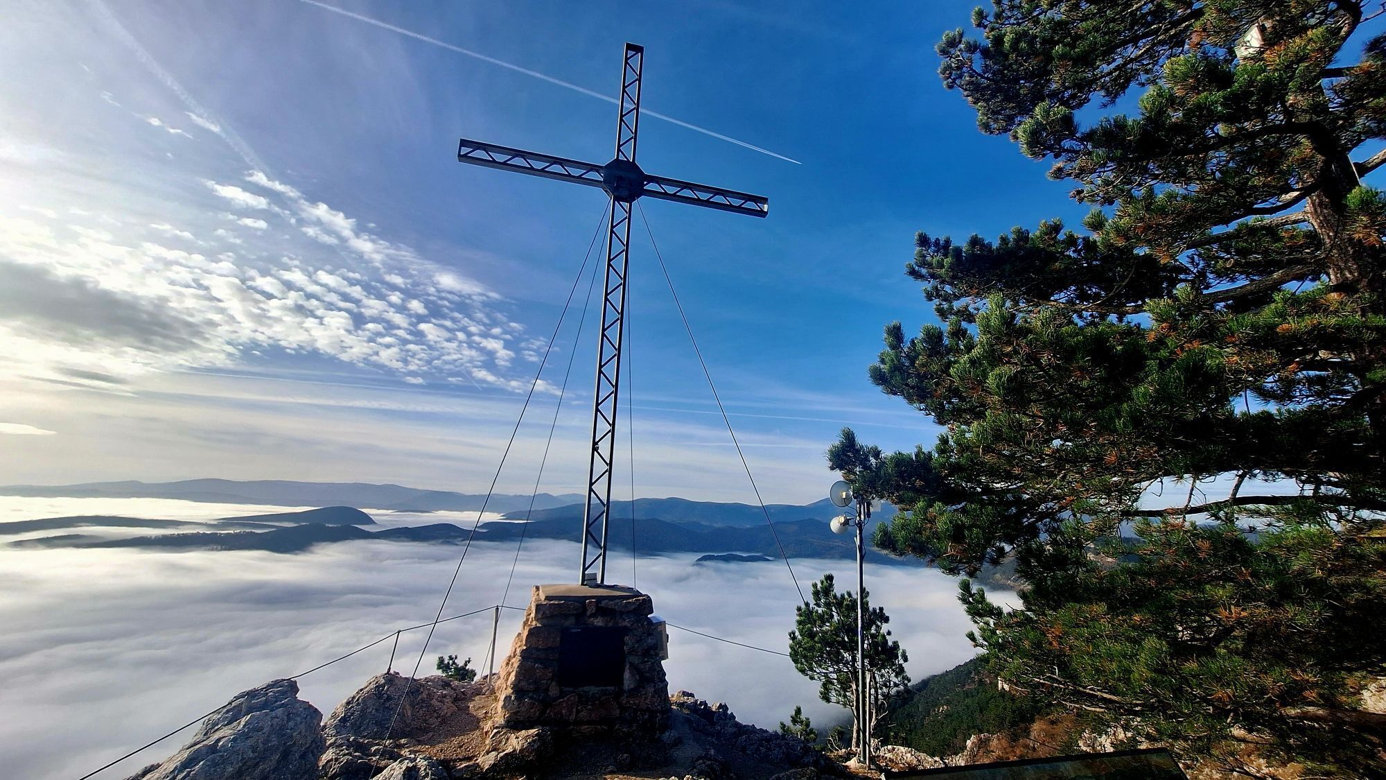
<p>The most renowned pioneer of the development phase of the Hohe Wand is Pastor Alois Wildenauer. From 1911 to 1921 he looked after the parish of Grünbach and named the time of his work there the most beautiful of his life: He spent every free minute testing new ascent routes on the plateau. Wildenauer explored no less than 184 paths that had never been traveled before him. During our hike through the Leitergraben, we venture into his favorite area and can enjoy magnificent views of the climbing routes.</p>

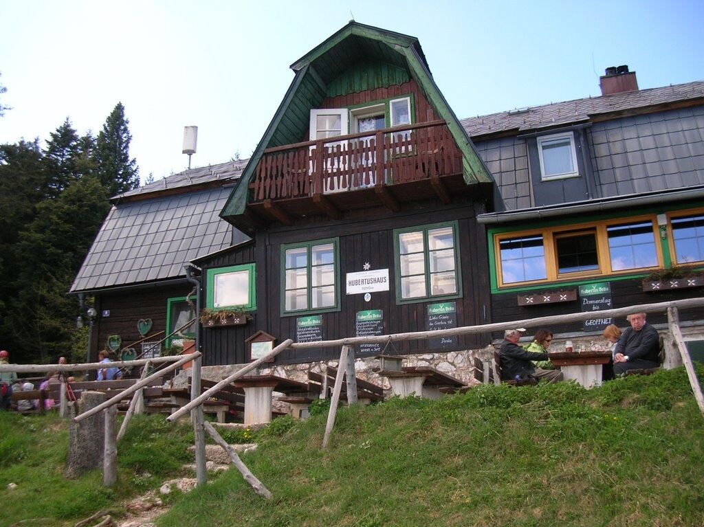
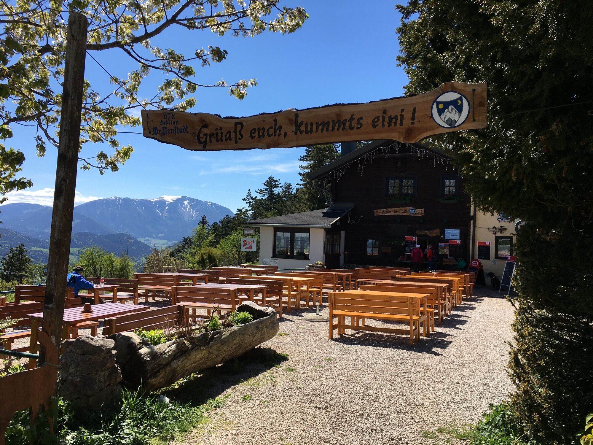
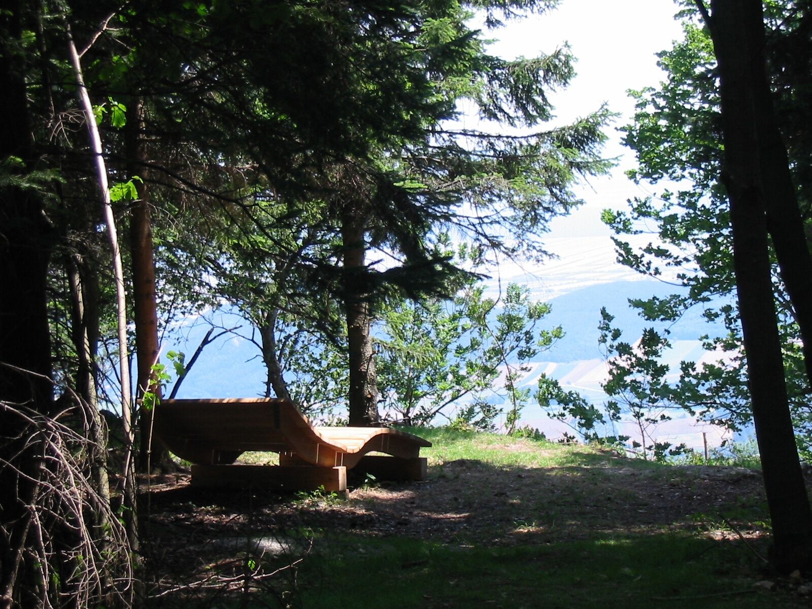
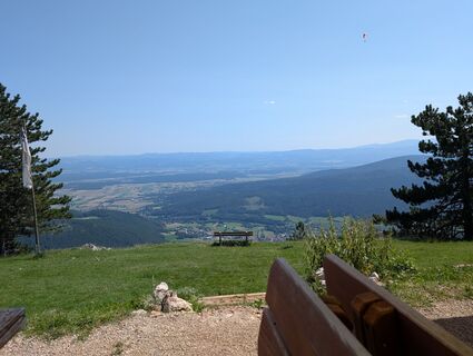
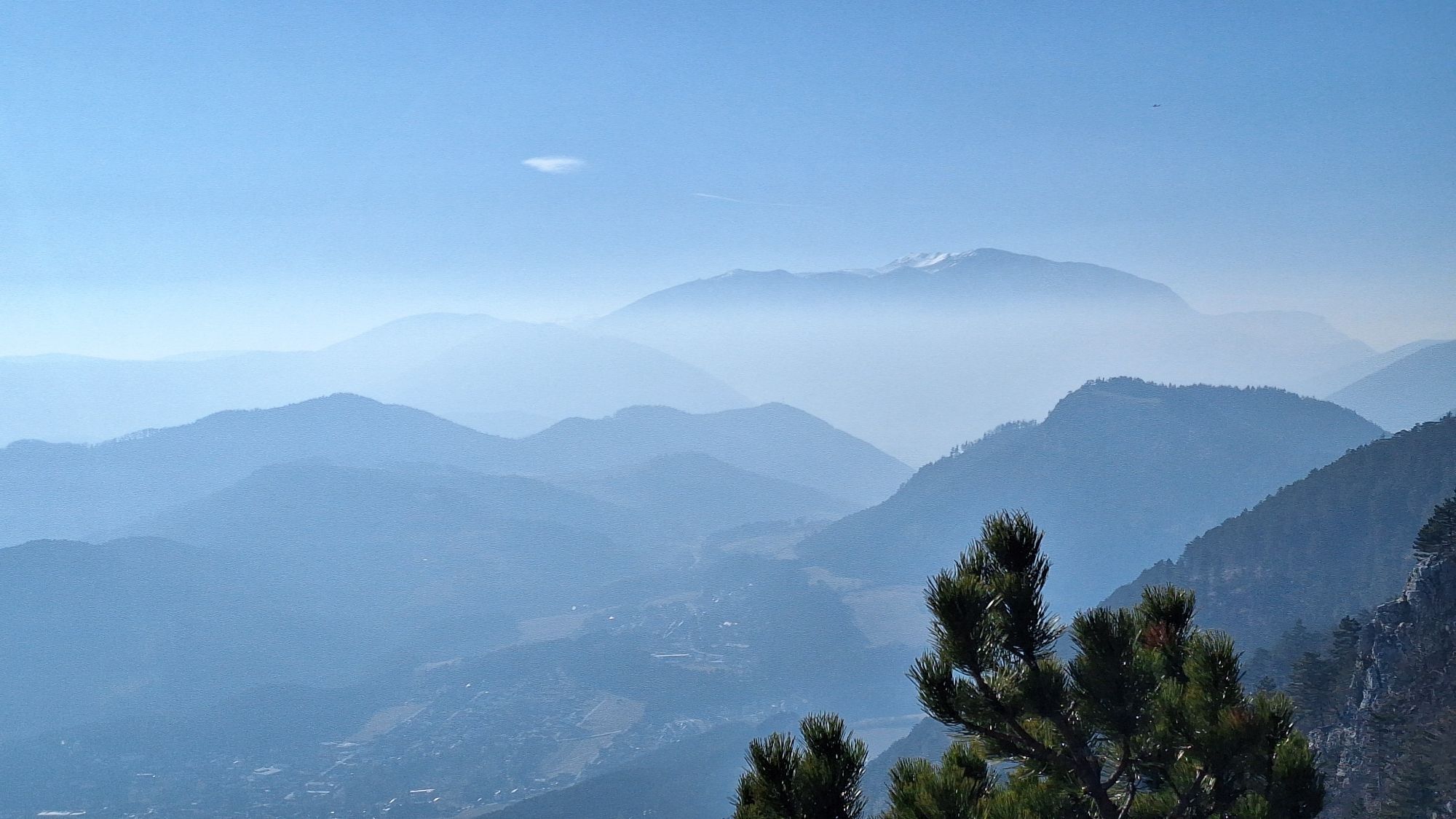
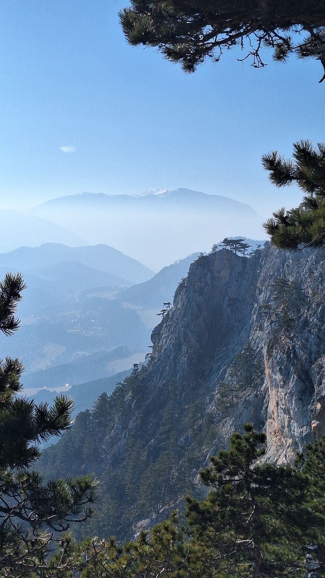
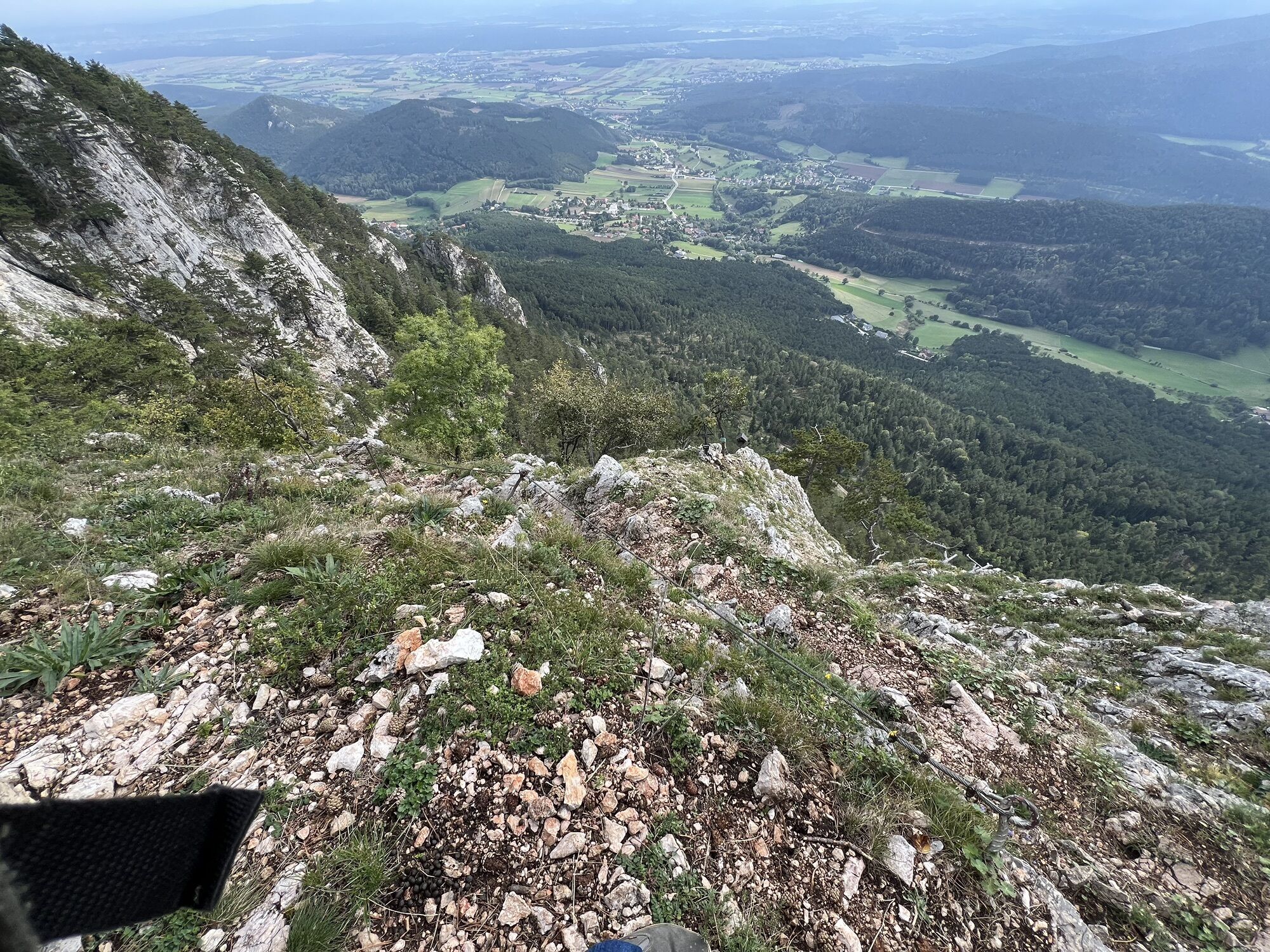
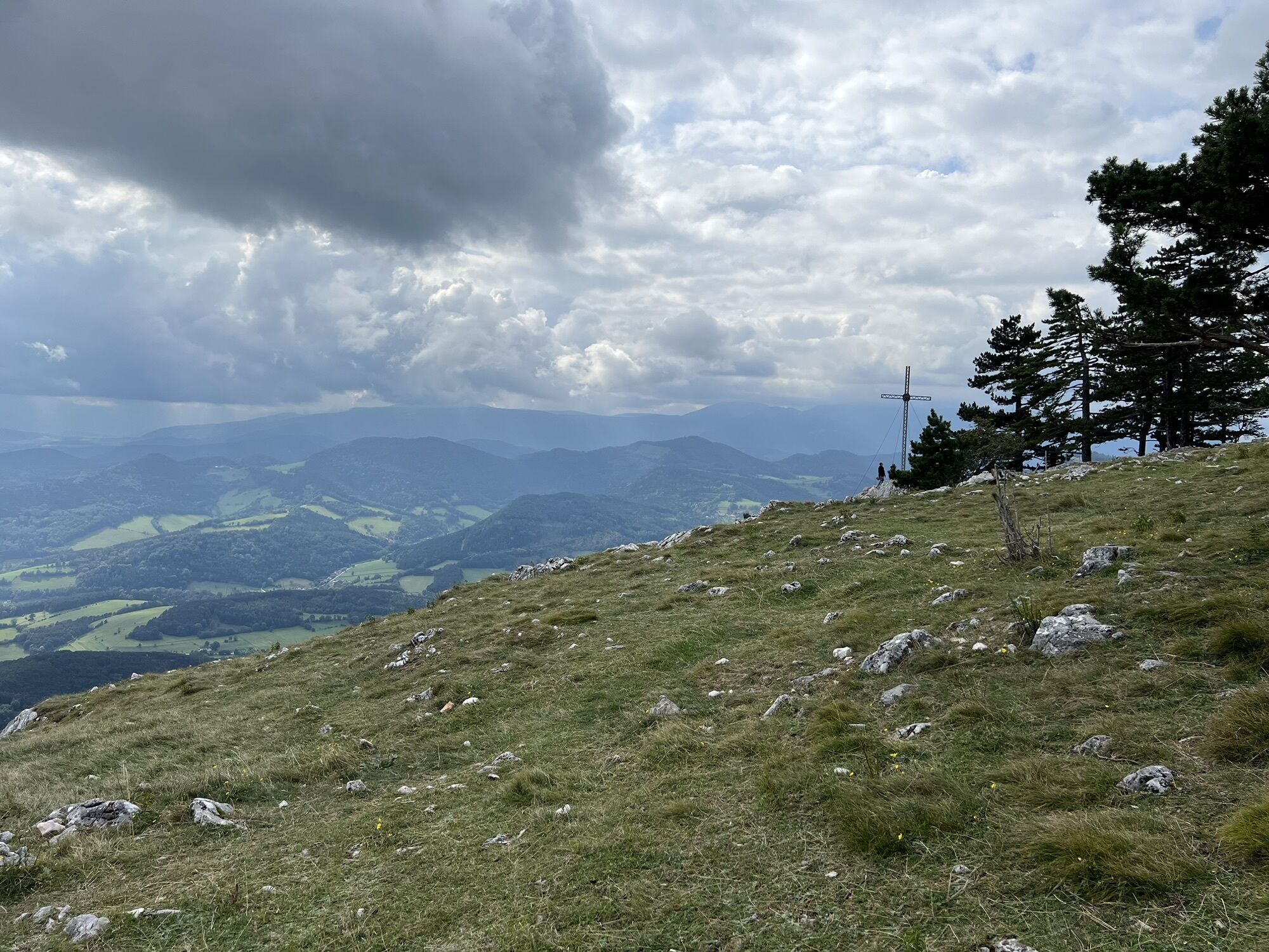
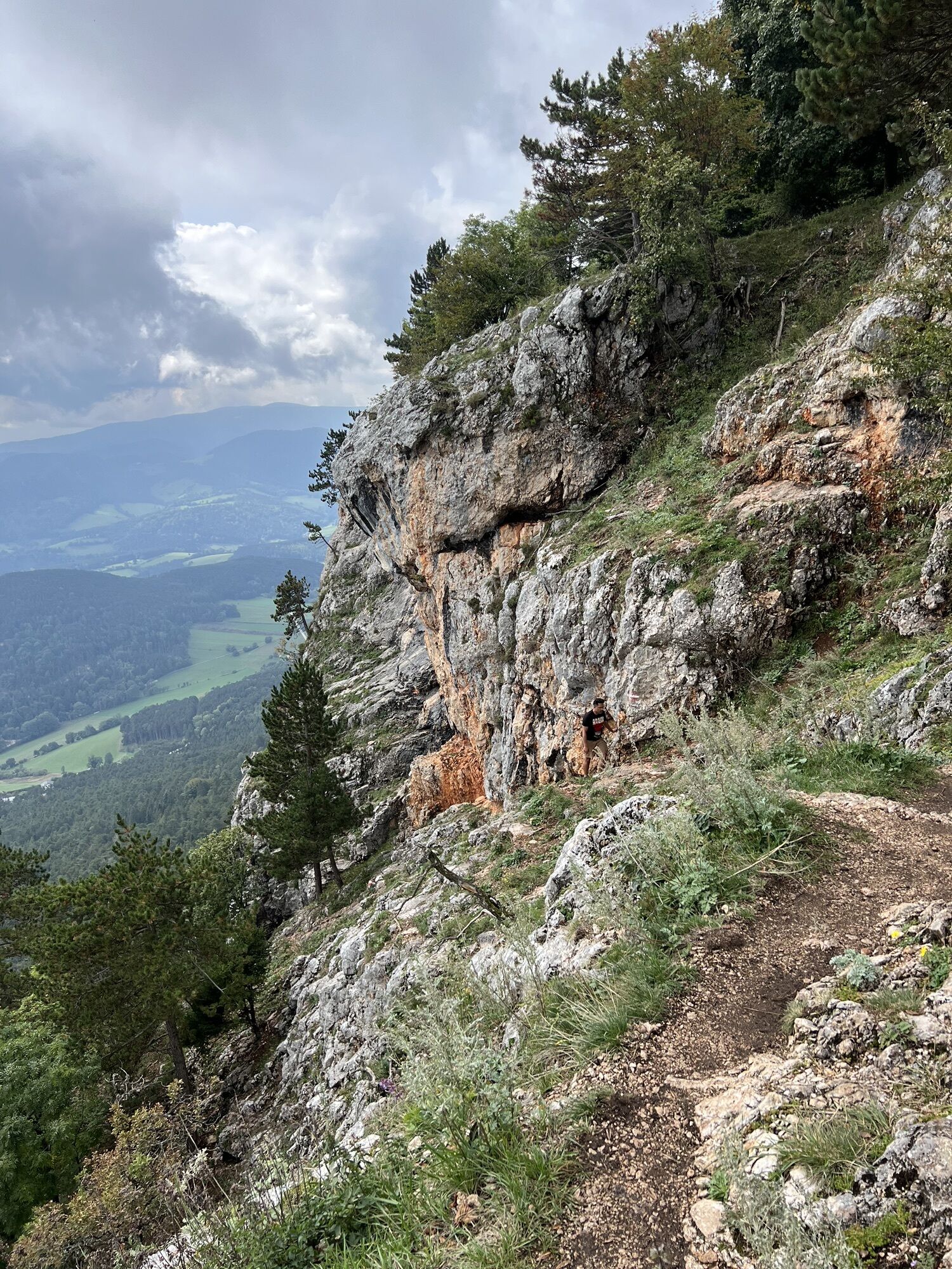
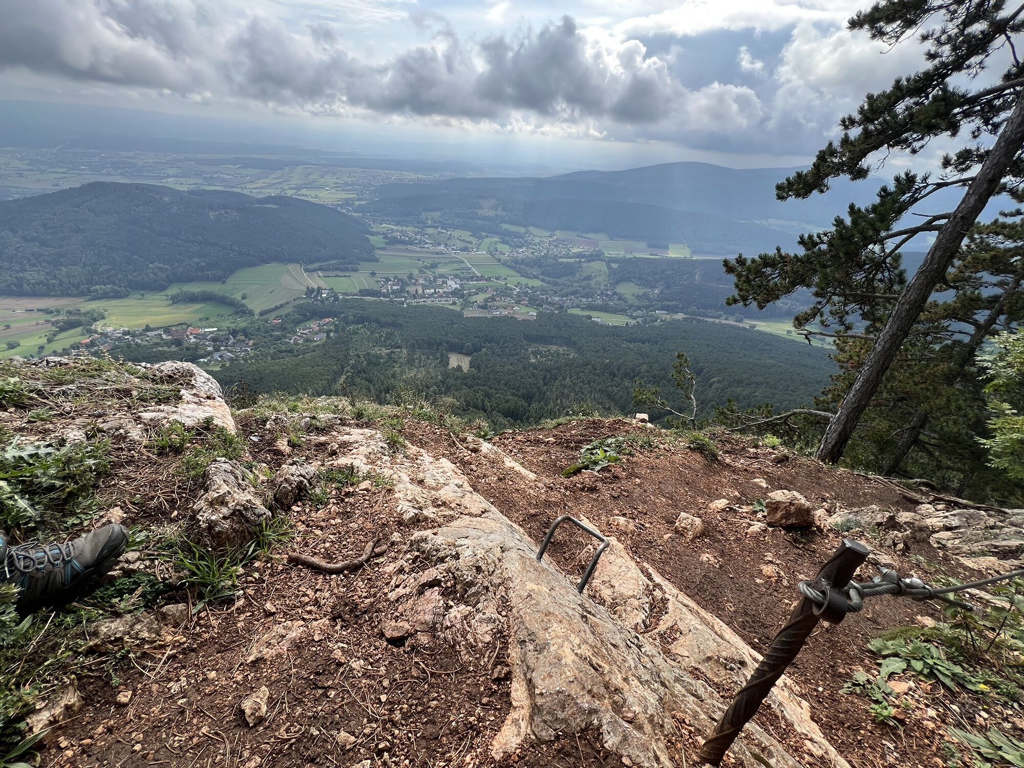
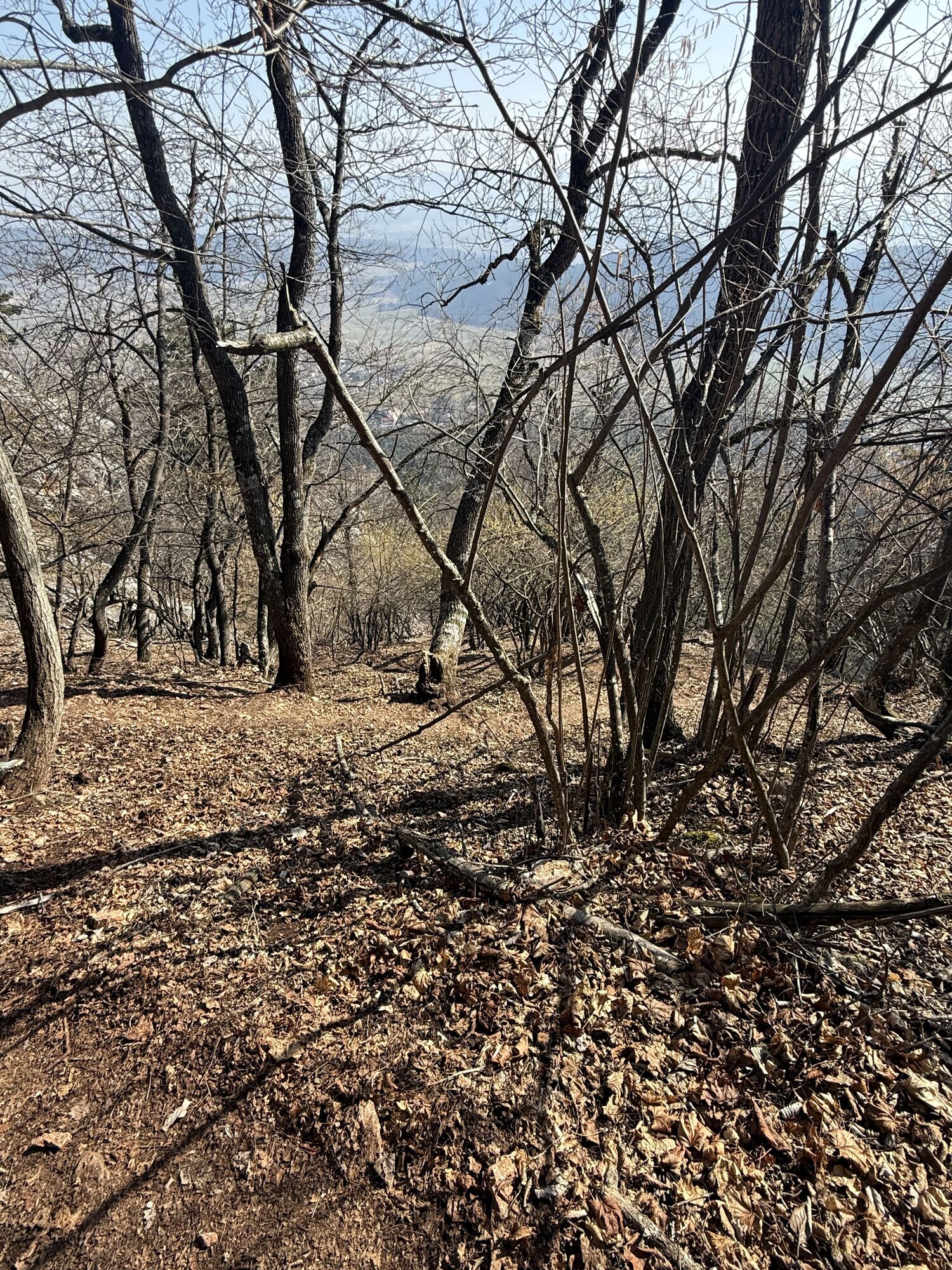
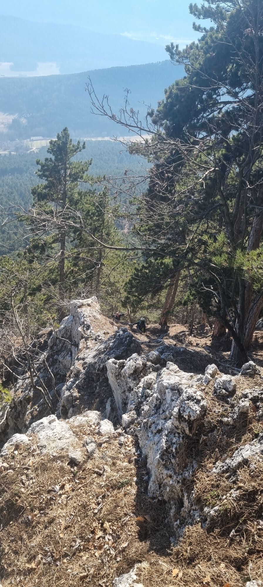
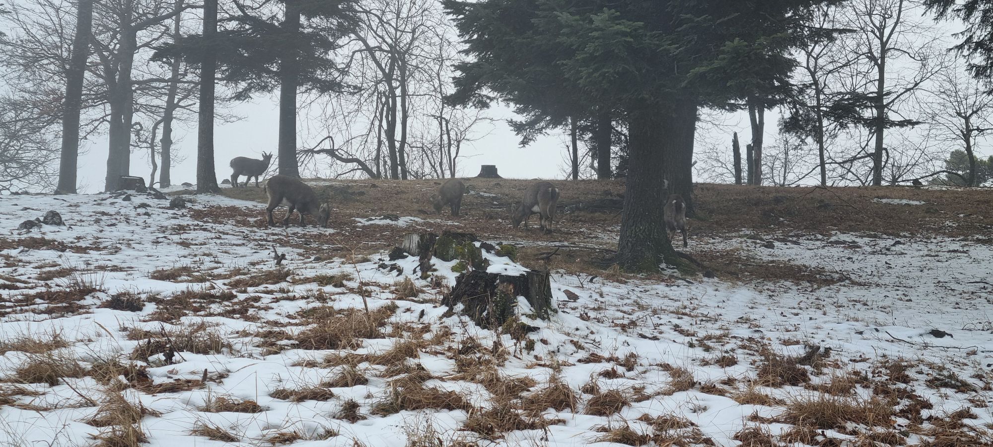
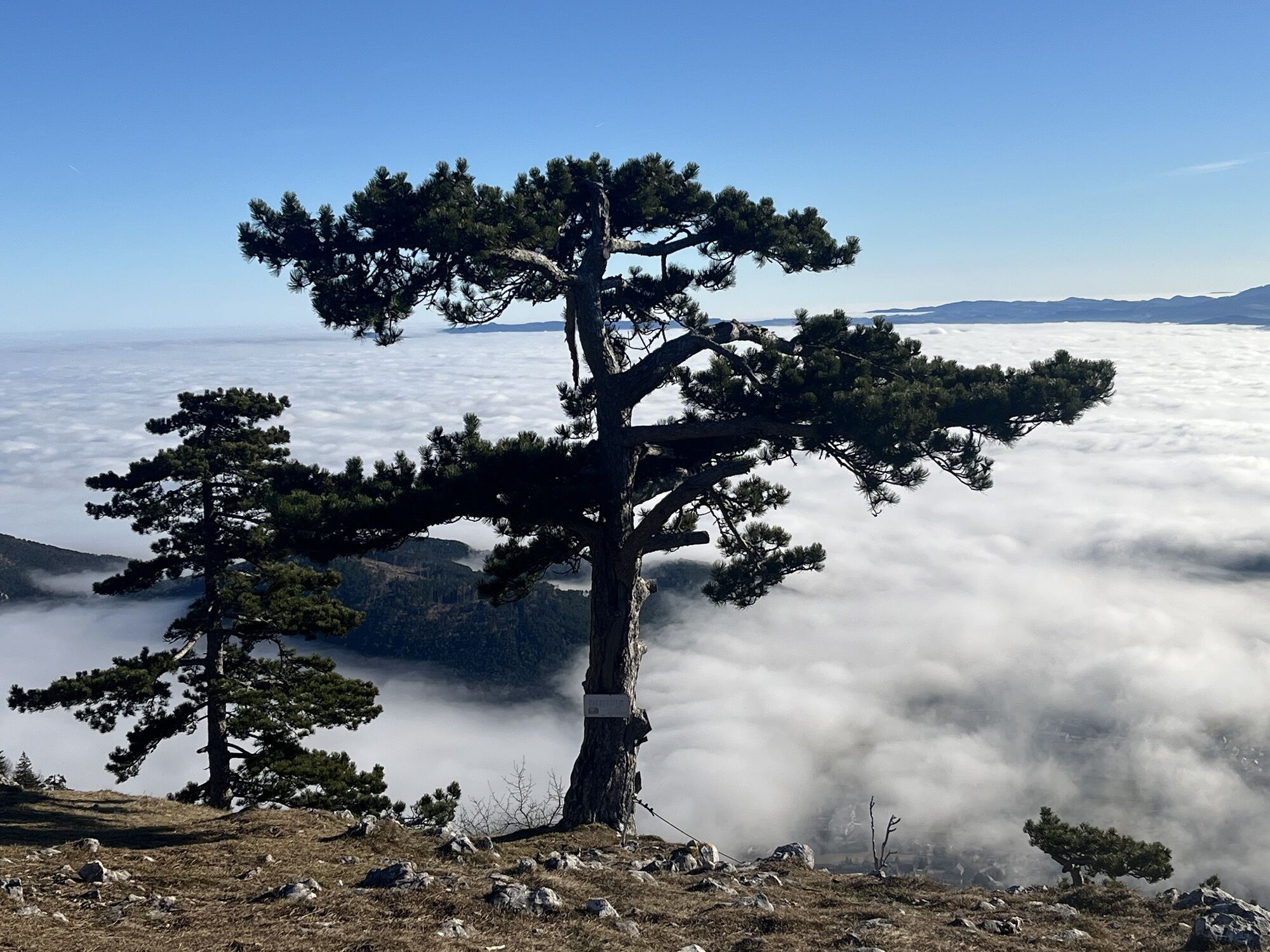
<p>We start at the Naturpark Zentrum parking lot. On a comfortable forest path towards the Gasthaus Luf/Hochkogelhaus. Once there, we continue a bit along the Leitergrabenpromenade before the descent into the Leitergraben begins. It goes downhill for about 15-20 minutes until the signpost announces the Hubertushaus and then it goes uphill again.<br />The team at Hubertushaus is available for you from Easter until the Christmas holidays, Wednesday to Sunday. After enjoying the view at Hubertushaus, we continue along the rock edge for about 40 minutes to the Wilhelm Eicherthütte. With a bit of luck, we might also encounter the ibex. The viewing benches along the path with a view of the climbing area—which was climbed by Alois Wildenauer—are definitely worth it. At the Wilhelm Eicherthütte—closed on Mondays—we reach the summit cross of the hike, the Wildenauer Cross, and a great view towards Schneeberg. On a comfortable path, we go through the Wanddörfl—previously accommodations for hikers, now weekend houses—to the Kleine Kanzel. Down beside the fallow deer enclosure, we reach the starting point of our hike again—the Naturpark Zentrum.</p>
<p>Always take suitable <strong>maps</strong> with you. Wear firm <strong>shoes</strong> appropriate for the route, bring sun and rain protection, as well as water and a small snack. Take your <strong>mobile phone</strong> with you and save the emergency number for mountain rescue: 140</p>
<p>Your hikes in the Vienna Alps should be a thoroughly beautiful and safe experience. Please therefore observe the following:</p><p>When there is <strong>snow cover</strong>, the "Leitergraben" is <strong>not passable</strong>!</p><p><strong>Preparation</strong></p><p>Make sure when choosing your route that it matches your experience and <strong>fitness</strong>. Inform yourself beforehand about the <strong>weather forecast</strong>. The weather can change surprisingly quickly in the mountains. Therefore, always set out properly equipped (e.g., rain protection).</p><p>Check whether the <strong>huts and snack stations</strong> you want to visit on the way are open. <strong>Inform</strong> someone about your chosen route and your planned return before you set off.</p>
<p><strong>From the direction of Vienna</strong></p><p>1) A2 – exit Wöllersdorf – turn right onto B21 towards Gutenstein – turn off to Dreistetten – Muthmannsdorf – Emmerberg – Gaaden – Stollhof – via Bergstraße year-round to the Hohe Wand plateau<br /> 2) A2 – exit Wiener Neustadt West – Weikersdorf – Winzendorf – Emmerberg – Gaaden – Stollhof – Hohe Wand</p><p><strong>From the direction of Graz</strong></p><p>3) From Neunkirchen – Würflach – Willendorf – Höflein – Zweiersdorf – Maiersdorf – Hohe Wand</p>
<p>Take the Südbahn from Vienna or Graz to Wiener Neustadt – change to the regional train towards Puchberg am Schneeberg or to Winzendorf – change to the bus to Maiersdorf, turnoff Hohe Wand Straße. Walk 500m along Bergstraße to the first hairpin bend/parking Sonnenuhr from where you can hike onto the Hohe Wand in about 1 hour via various ascents.</p><p>Or change at Wiener Neustadt towards Puchberg am Schneeberg - exit at Grünbach am Schneeberg - via the blue-marked Grafenbergweg, it takes about 1.5 hours to reach the plateau to Wilhelm Eicherthütte.</p><p>Additionally, you can take the Gutensteinerbahn (from Wiener Neustadt station) to Oberpiesting or Waldegg and hike up to the Hohe Wand from the backside.</p><p>More information at <a href="www.oebb.at">www.oebb.at</... and <a href="www.vor.at">www.vor.at</a&...
<p>Naturpark Zentrum, Kleine Kanzelstraße 241, 2724 Hohe Wand </p>
Naturpark Hohe Wand, www.naturpark-hohewand.at
Naturparke Niederösterreich, www.naturparke-noe.at
Vienna Alps in Lower Austria, www.wieneralpen.at, +43 / 2622 / 78960
Municipality of Hohe Wand, www.hohe-wand.gv.at
Region Schneebergland, www.schneebergland.com
Lower Austria Tourism, www.niederoesterreich.at
Great views, cozy shelters :-)
Current opening hours of the hospitality businesses www.poinow.info


Parcours populaires à proximité
- 4,6
"Waxriegel 1888m" - Schneebergdörfl - Niederösterreich / Österreich
facileRandonnée 14,2 km - 4,4
Hohe Wand: Frauenlucke und Völlerin
moyenRandonnée 1,90 km - 4,4
Johannesbachklamm - Würflach
moyenRandonnée 11,3 km - 4,6
Grünbach - Eselsteig - Geländ
facileRandonnée 5,22 km - 4,3
Gebirgsvereinssteig C/D
difficileVia ferrata 4,38 km - 4,7
Hohe Wand: Dreistetten - Herrgottschnitzerhaus
facileRandonnée 6,51 km - 4,6
Schöner Rundkurs über die Dürre Wand: Öhlerschutzhaus über Hanslsteig und Gratwanderung zur Gauermannhütte
facileRandonnée 14,2 km - 4,6
Bergstation Hochschneeberg - Klosterwappen - Bahnhof Puchberg am Schneeberg
moyenRandonnée 16,8 km - 4,8
Hohe Wand: Babygrat (1+), Rundwanderung und Wagnersteig (A)
difficileRandonnée 11,8 km - 4,8
Hohe Wand Wagnersteig - Springlessteig
moyenRandonnée 5,59 km

Randonnée et suivi


Ne manquez pas les offres et l'inspiration pour vos prochaines vacances
Votre adresse électronique a été ajouté à la liste de diffusion.