


Piste cyclable Kamp-Thaya-March
La piste cyclable attrayante, située dans le nord-est de l'Autriche, suit au total trois cours d'eau et traverse le Wald- et Weinviertel – deux régions romantiques à la frontière tchèque. Diversité paysagère,...
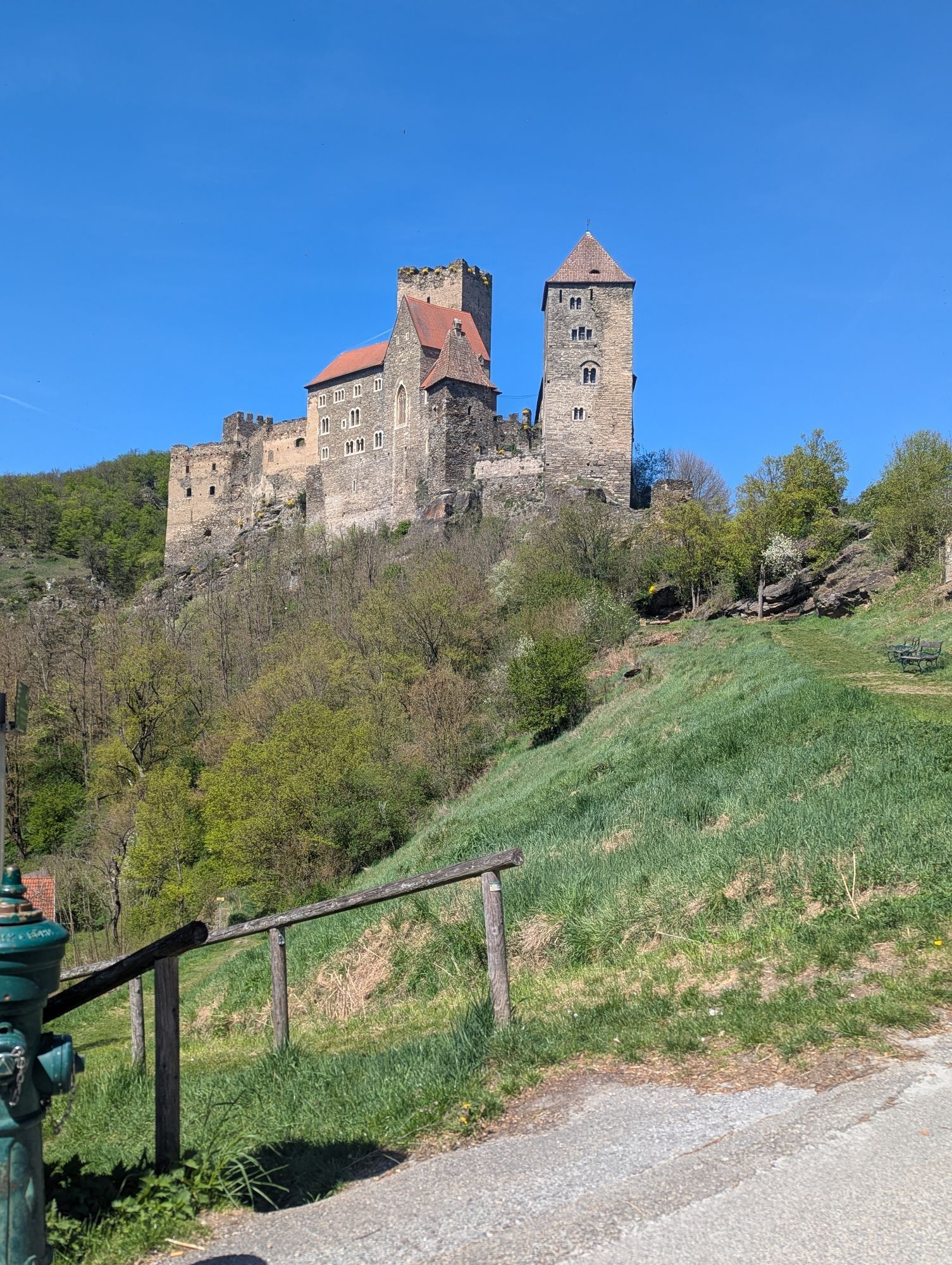
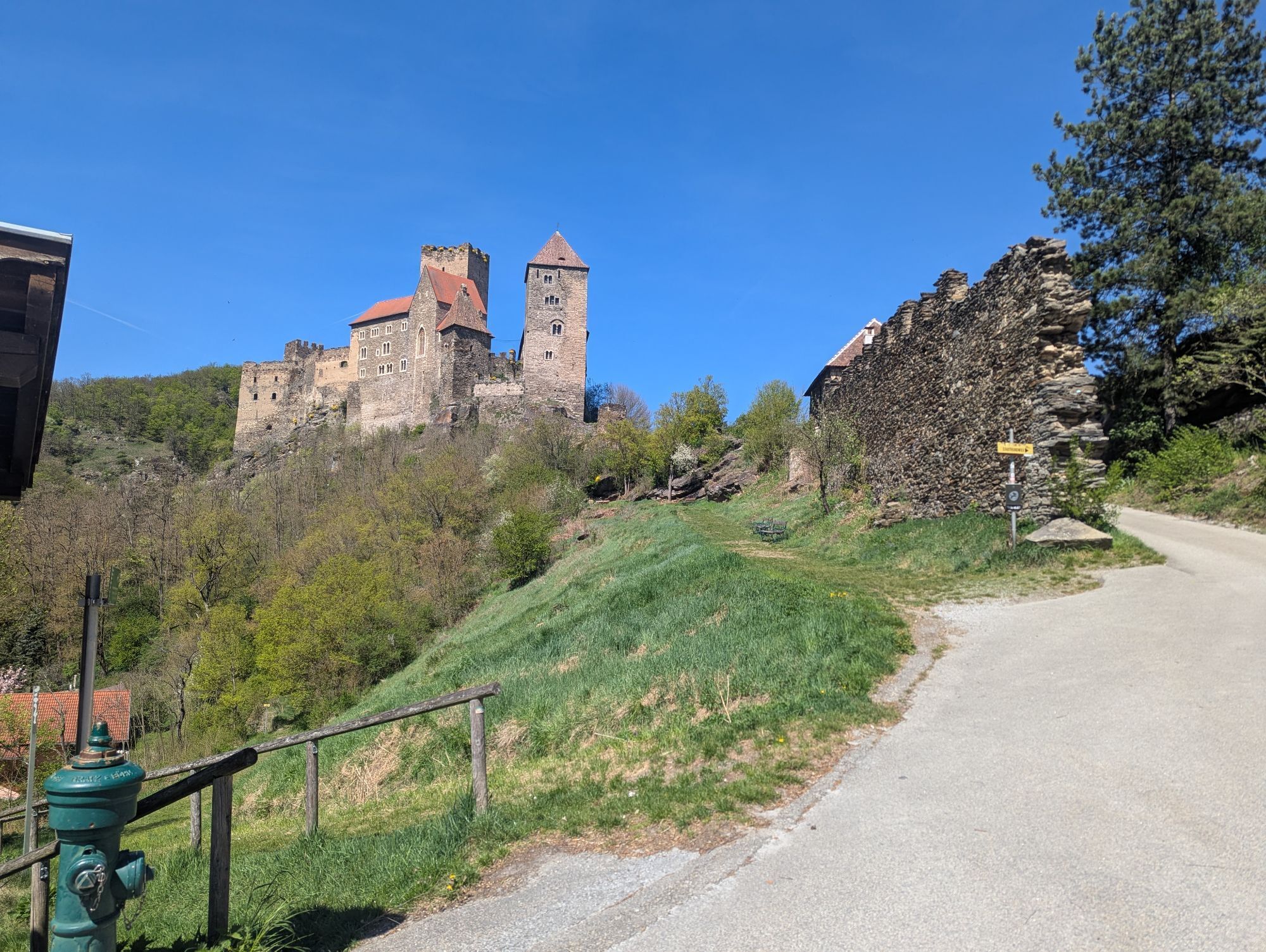
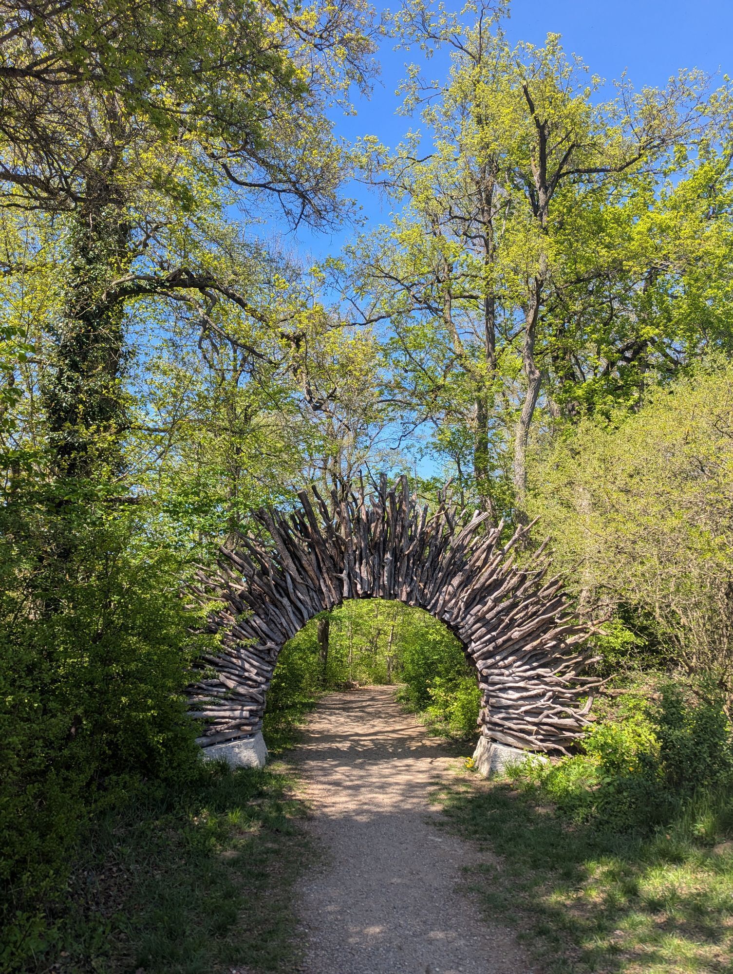
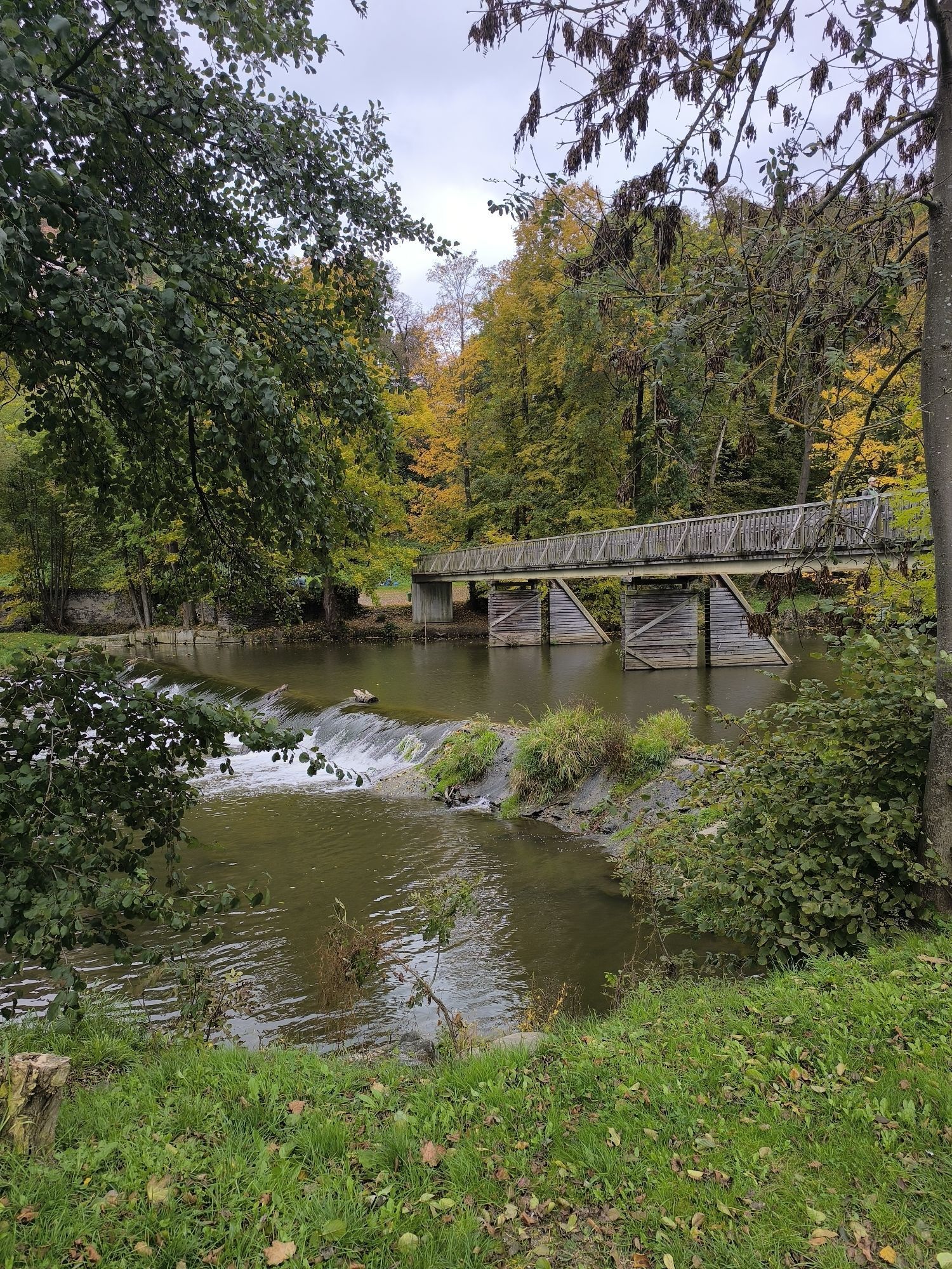
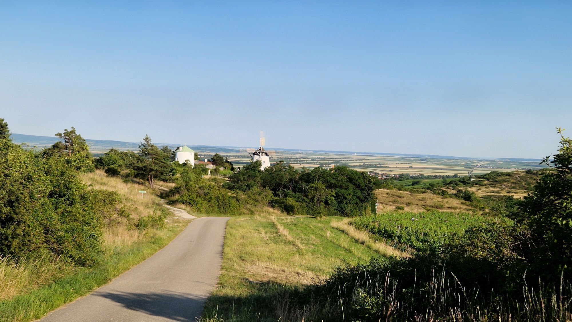
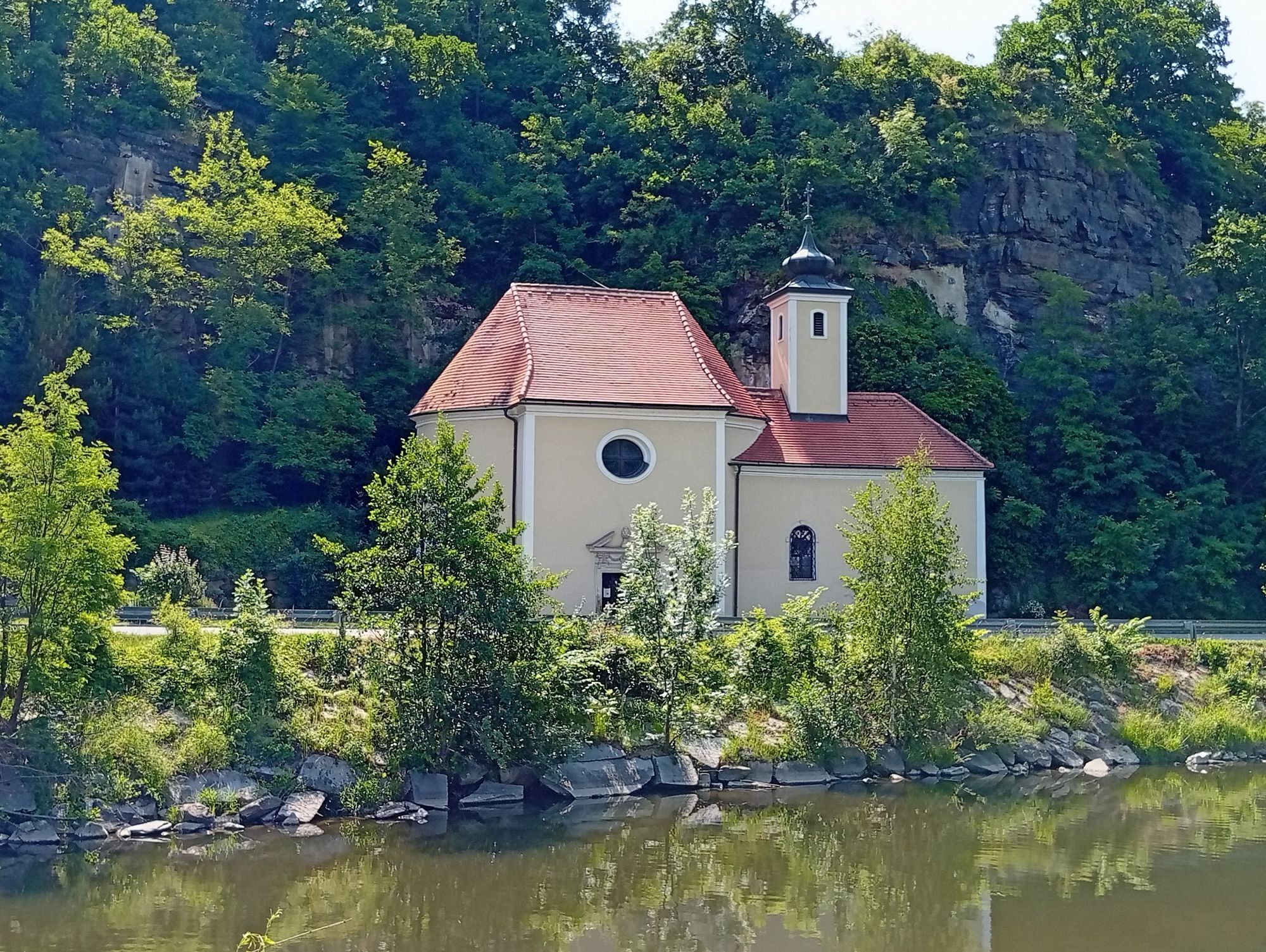
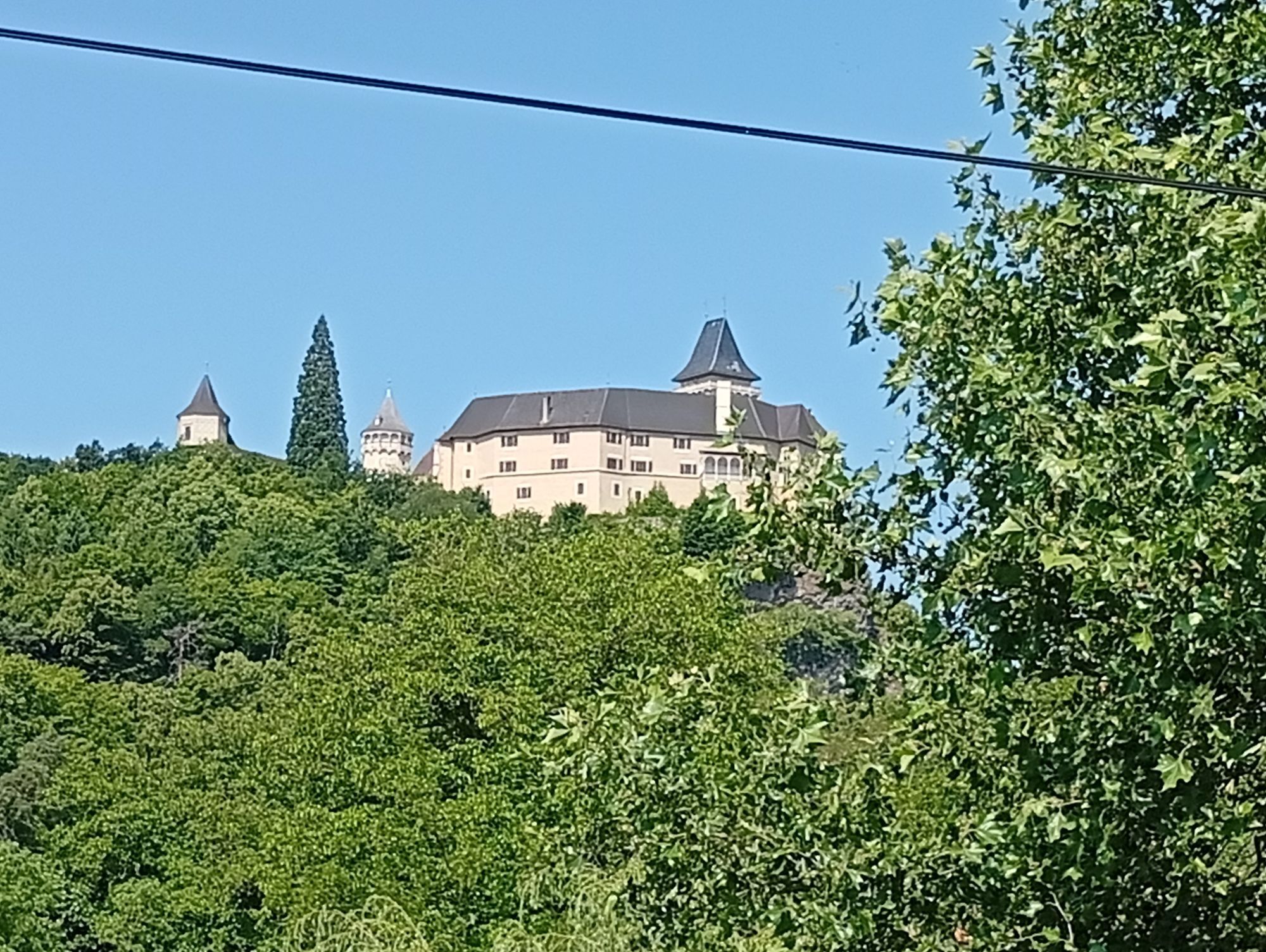
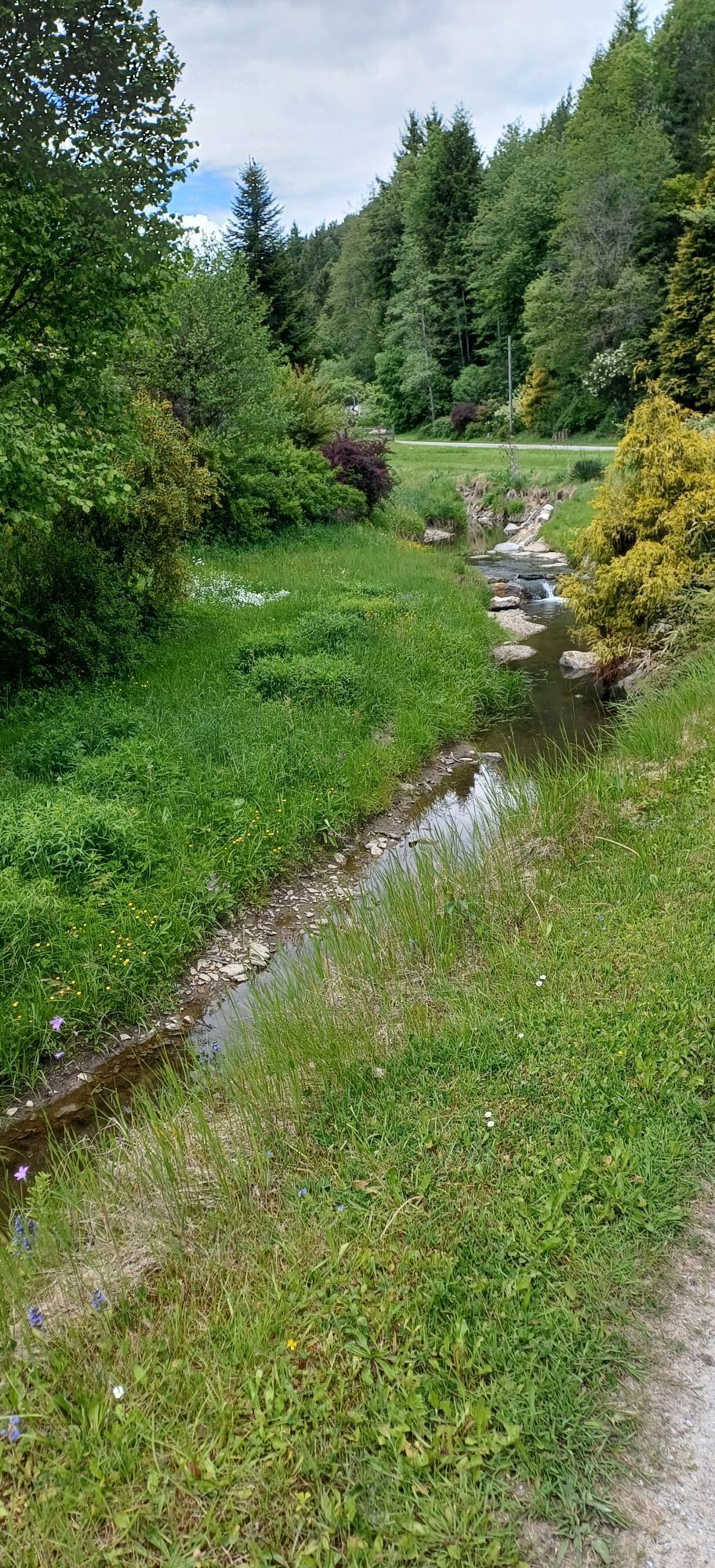
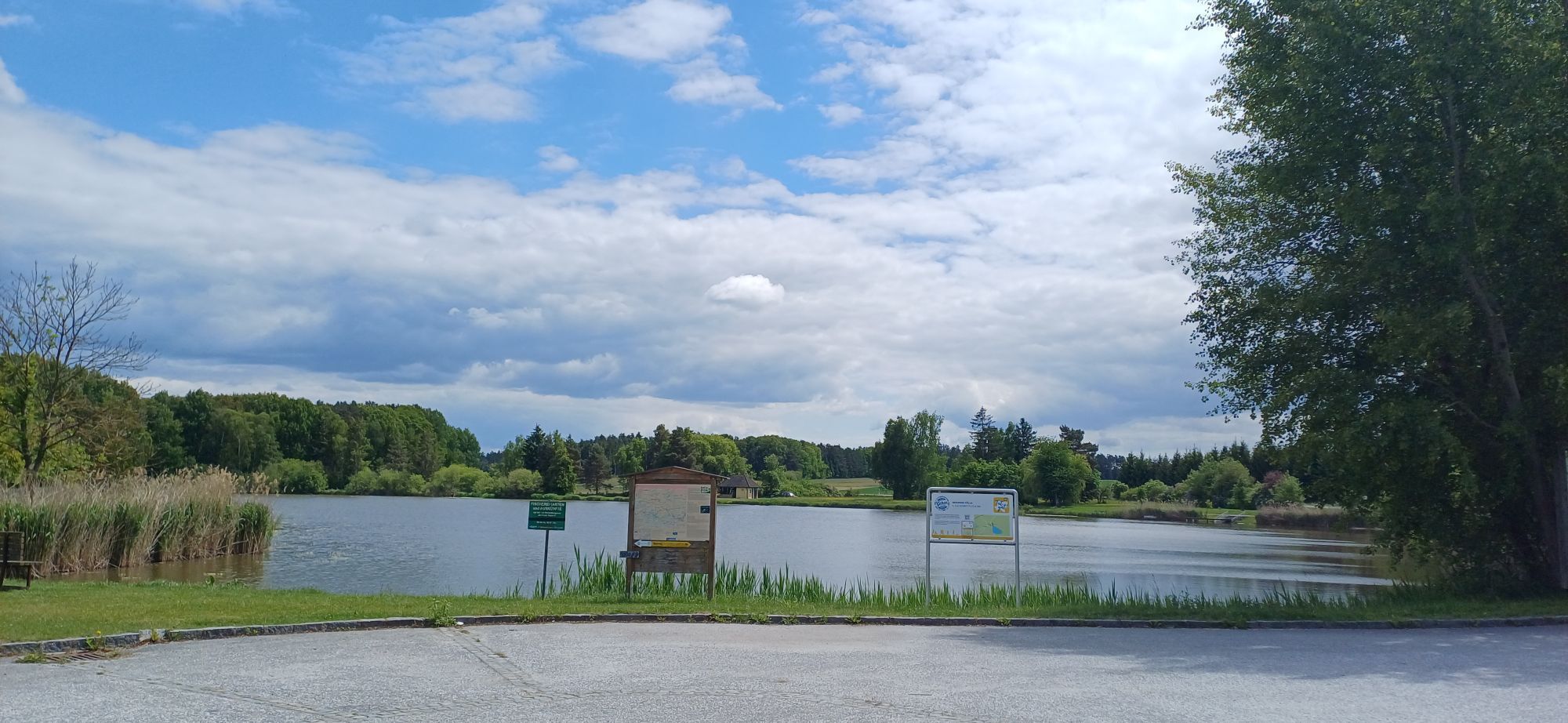
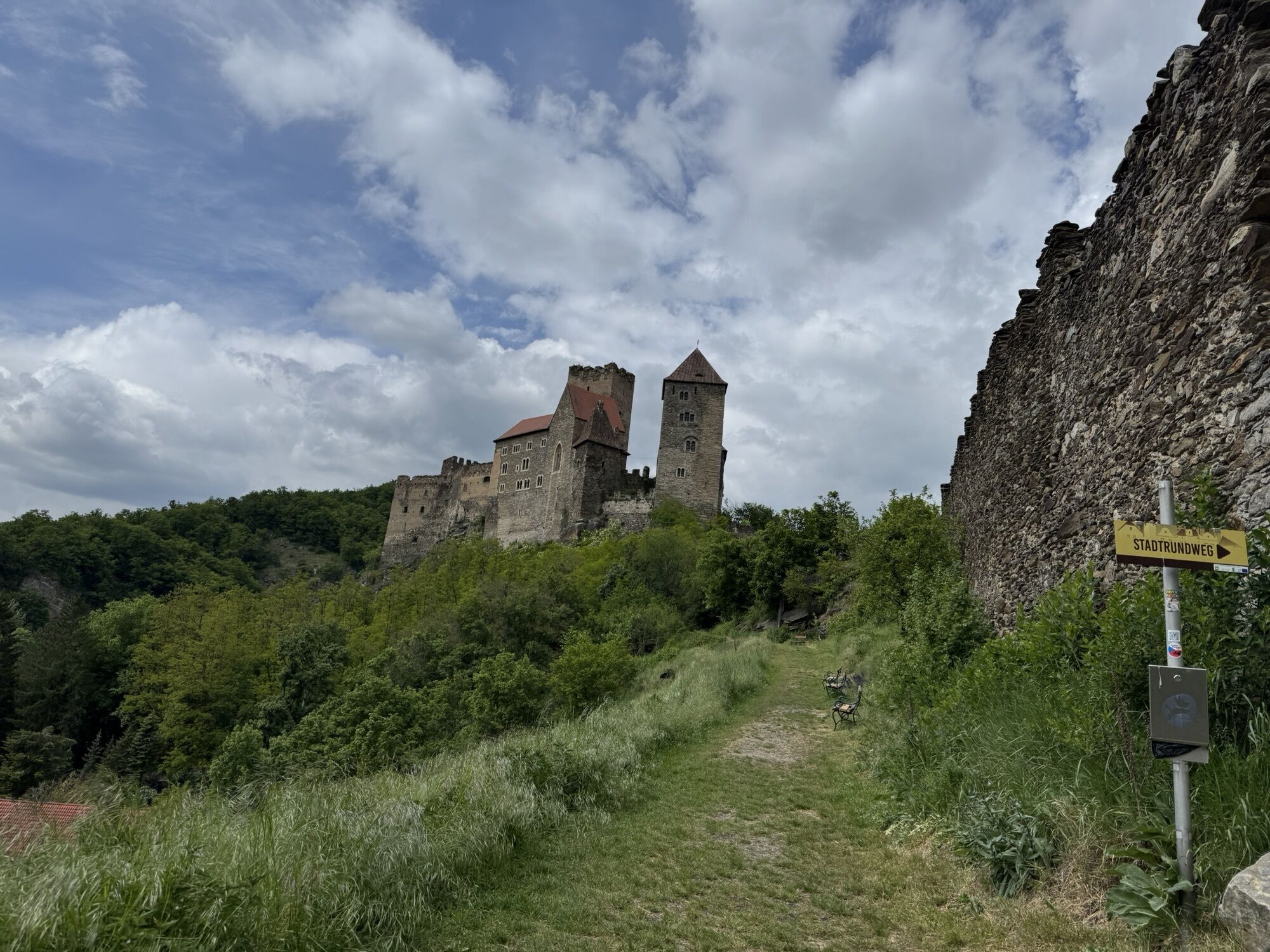
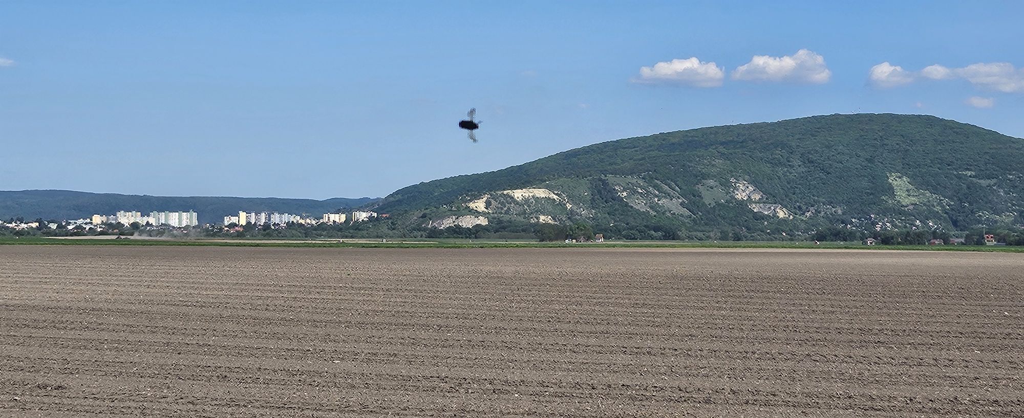
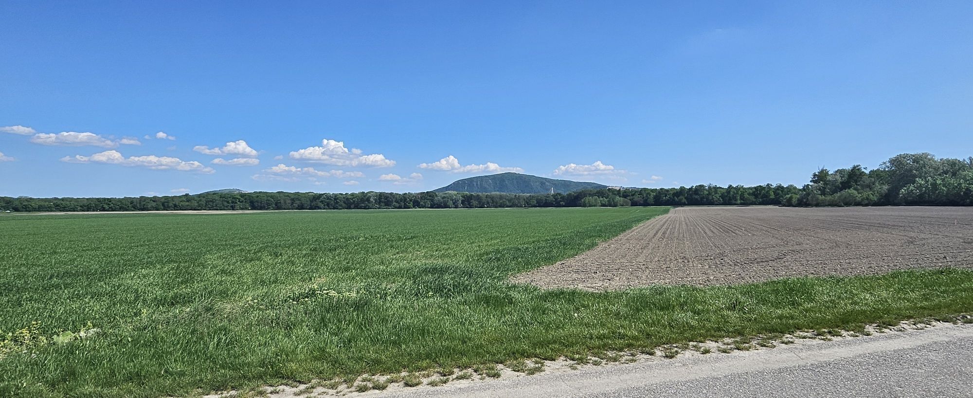
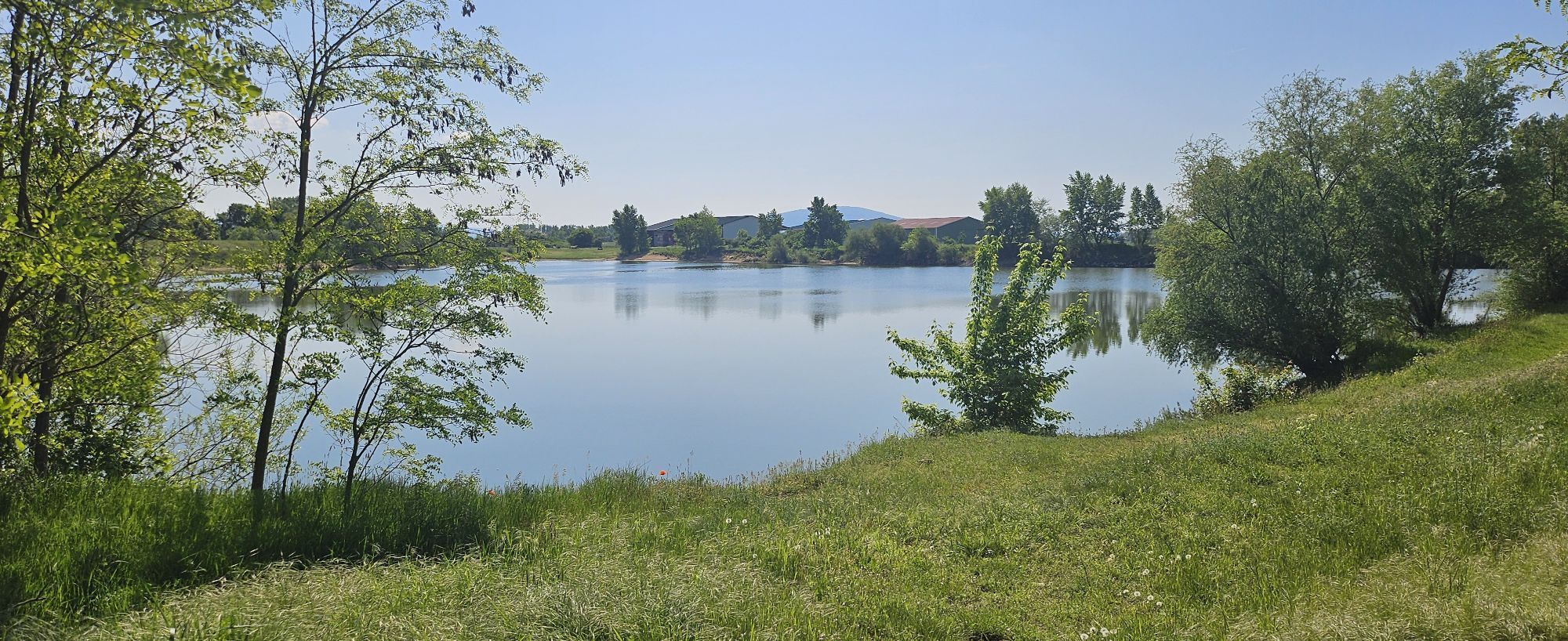
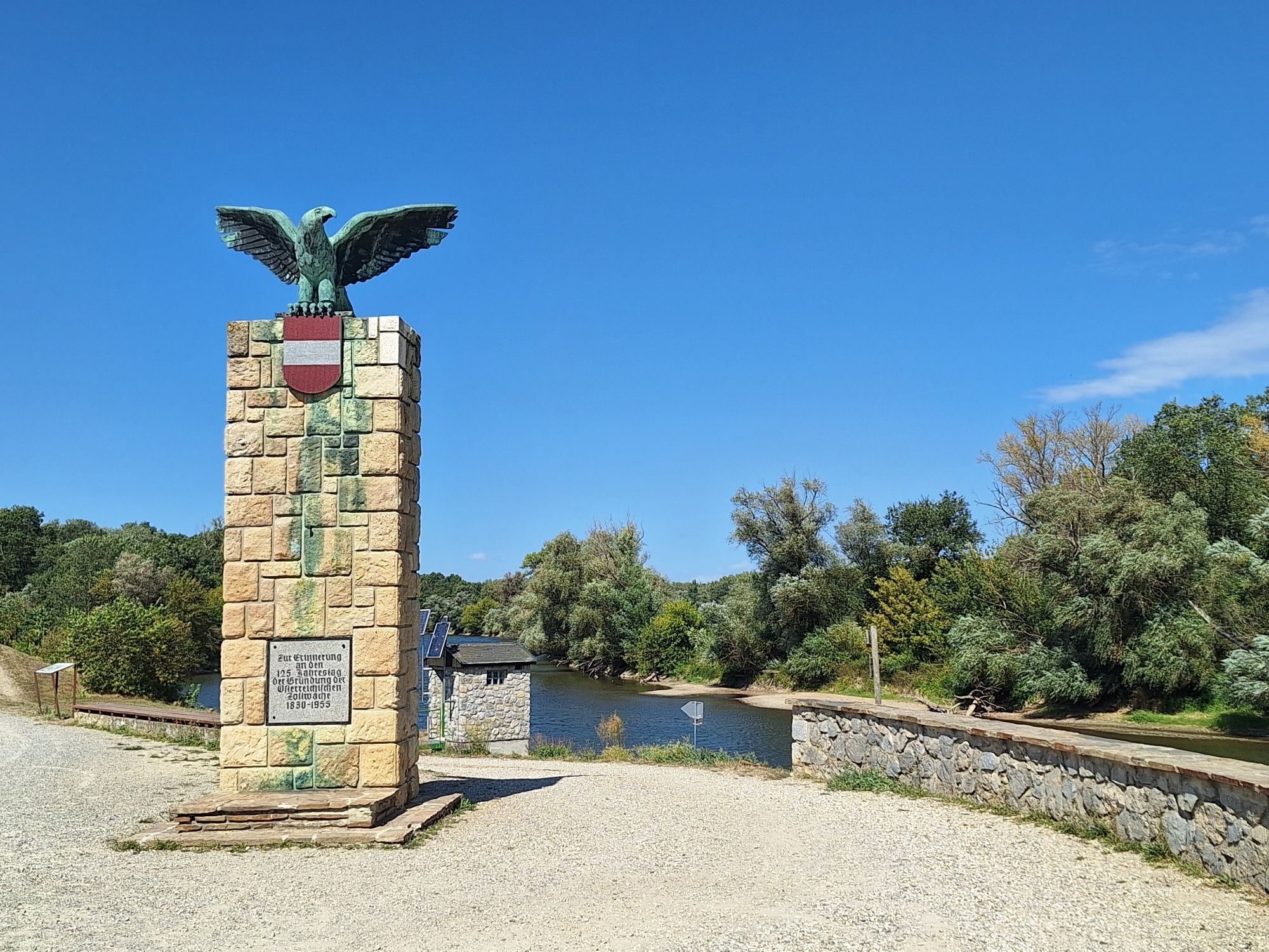
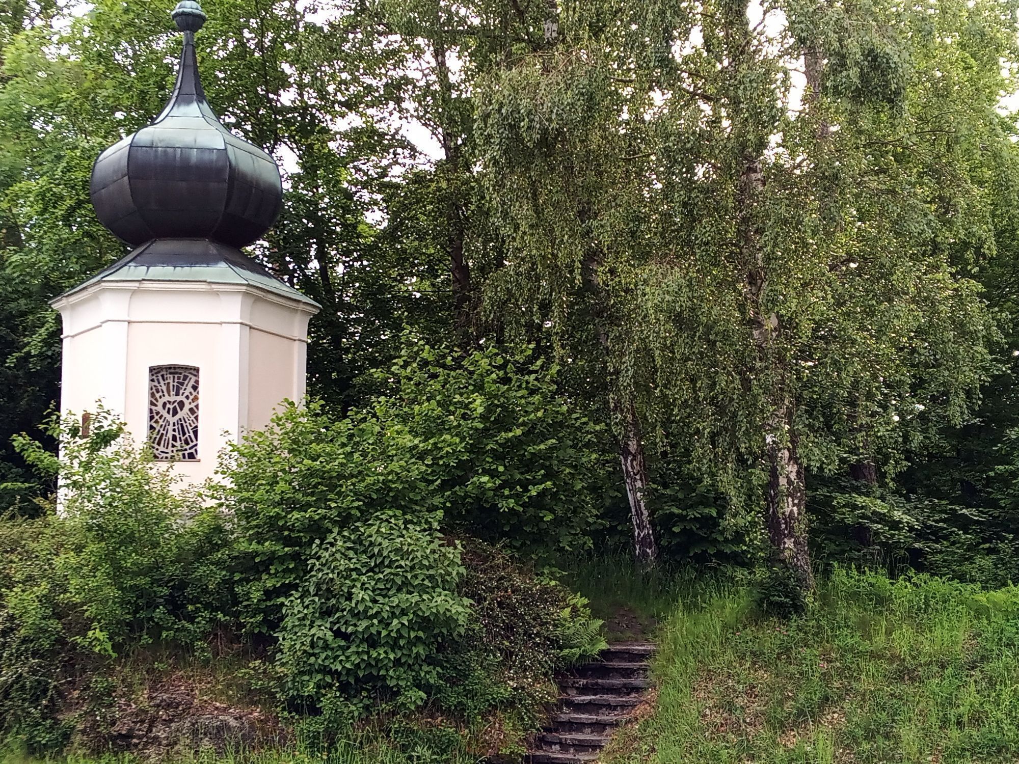
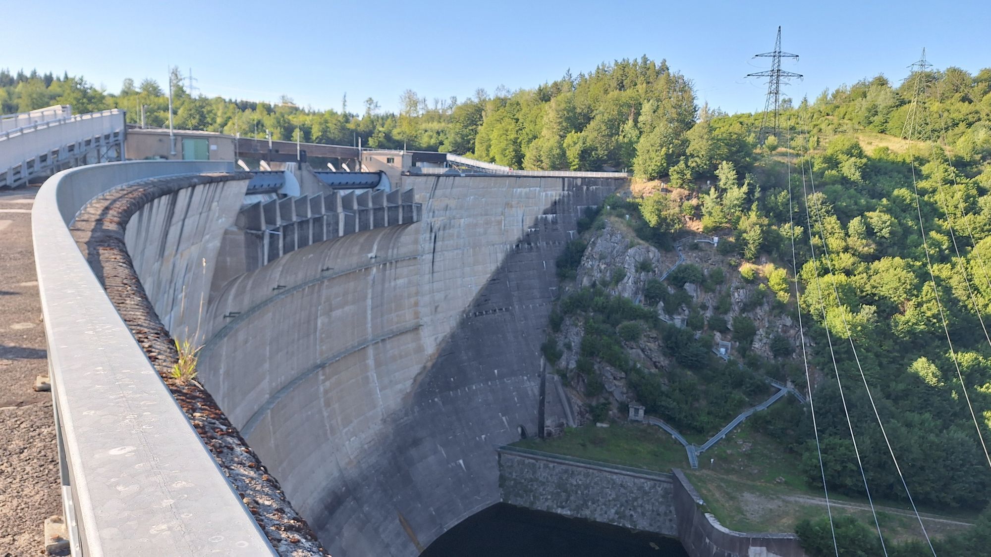
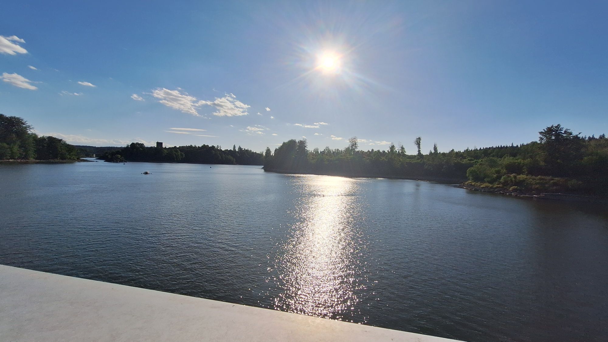
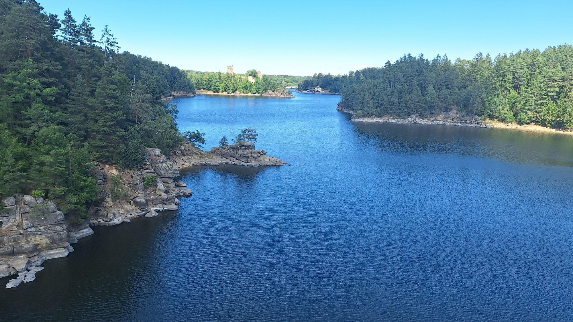
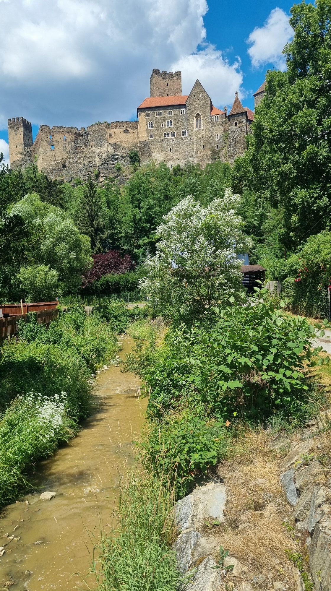
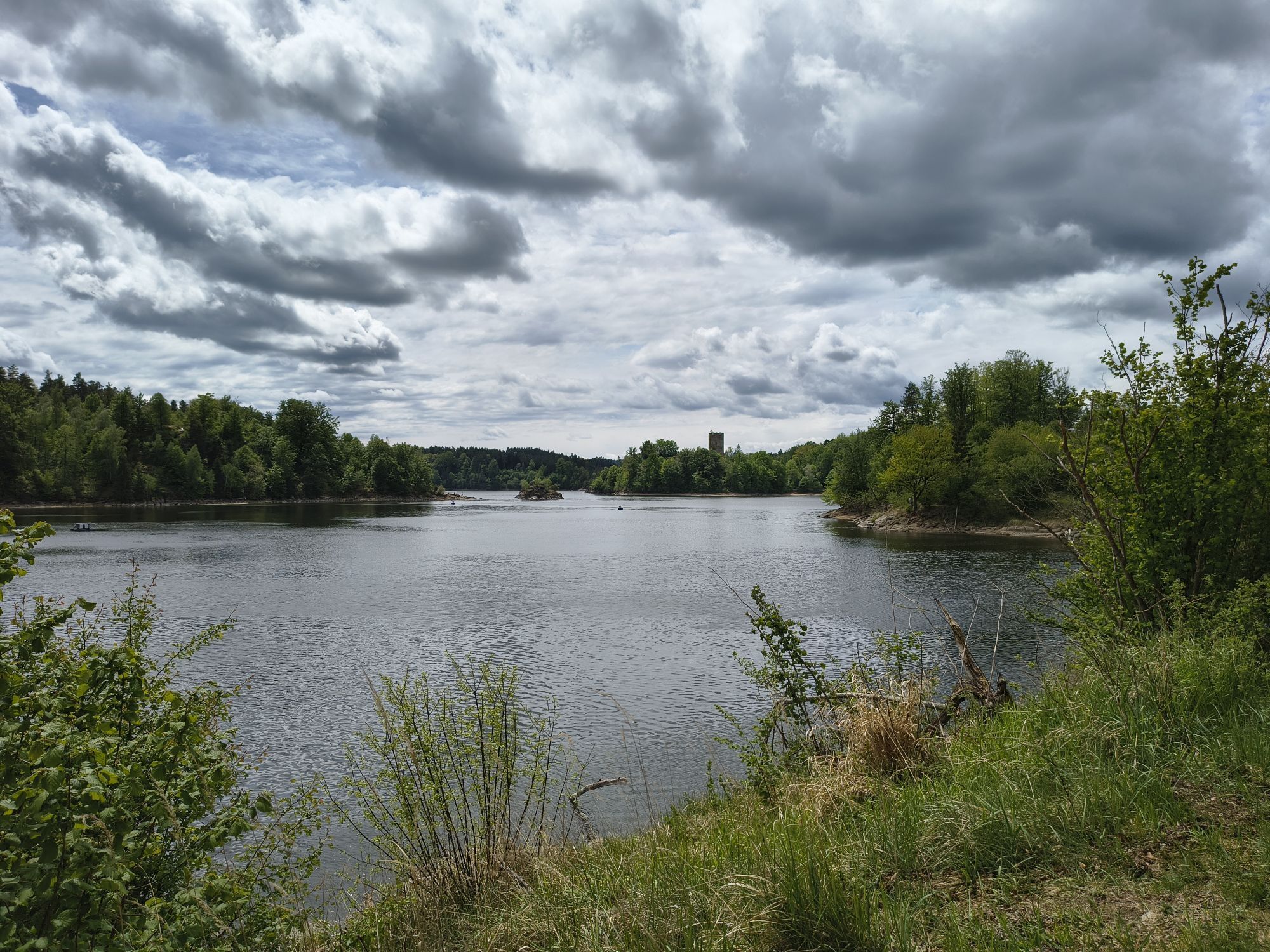
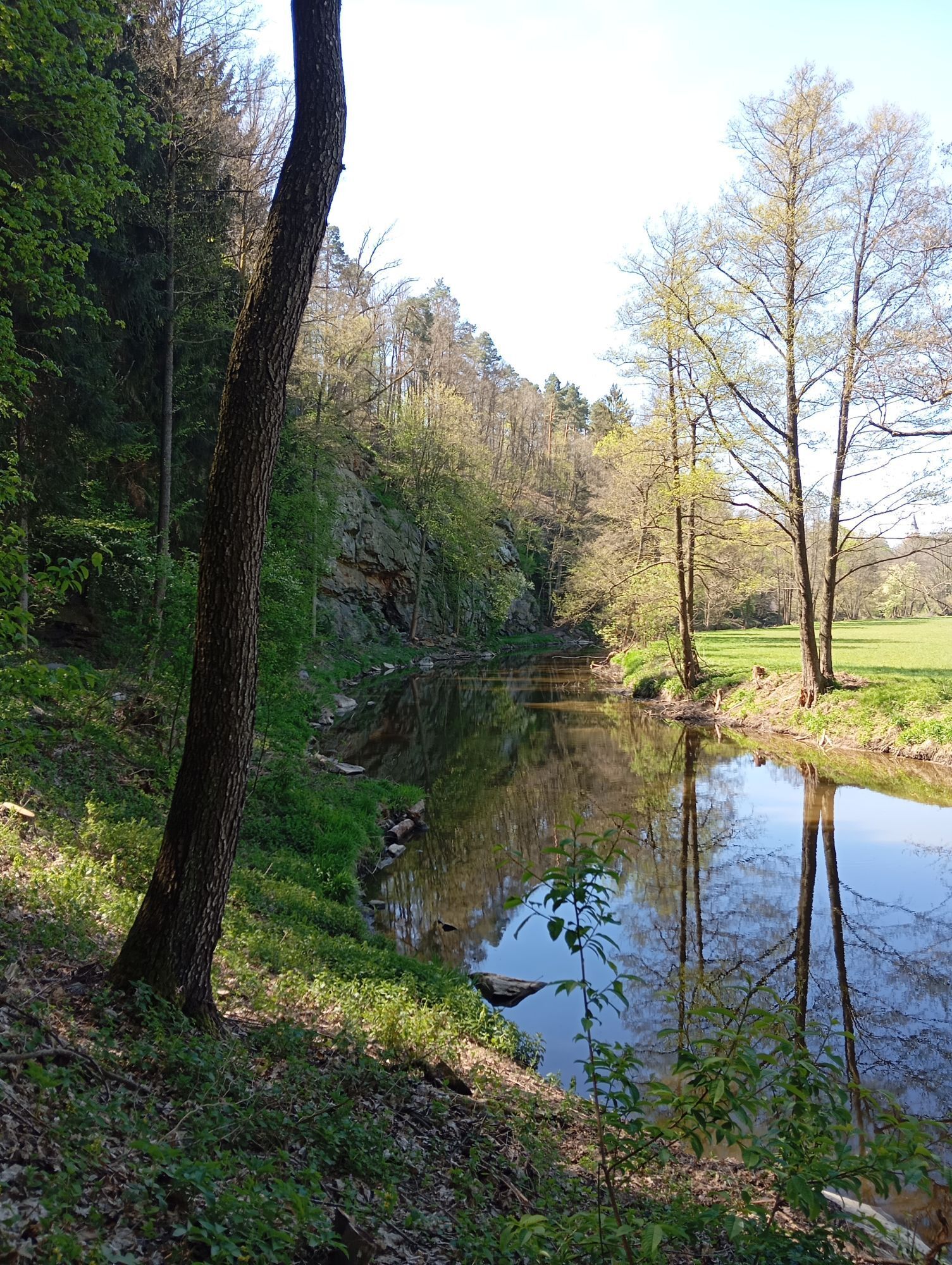
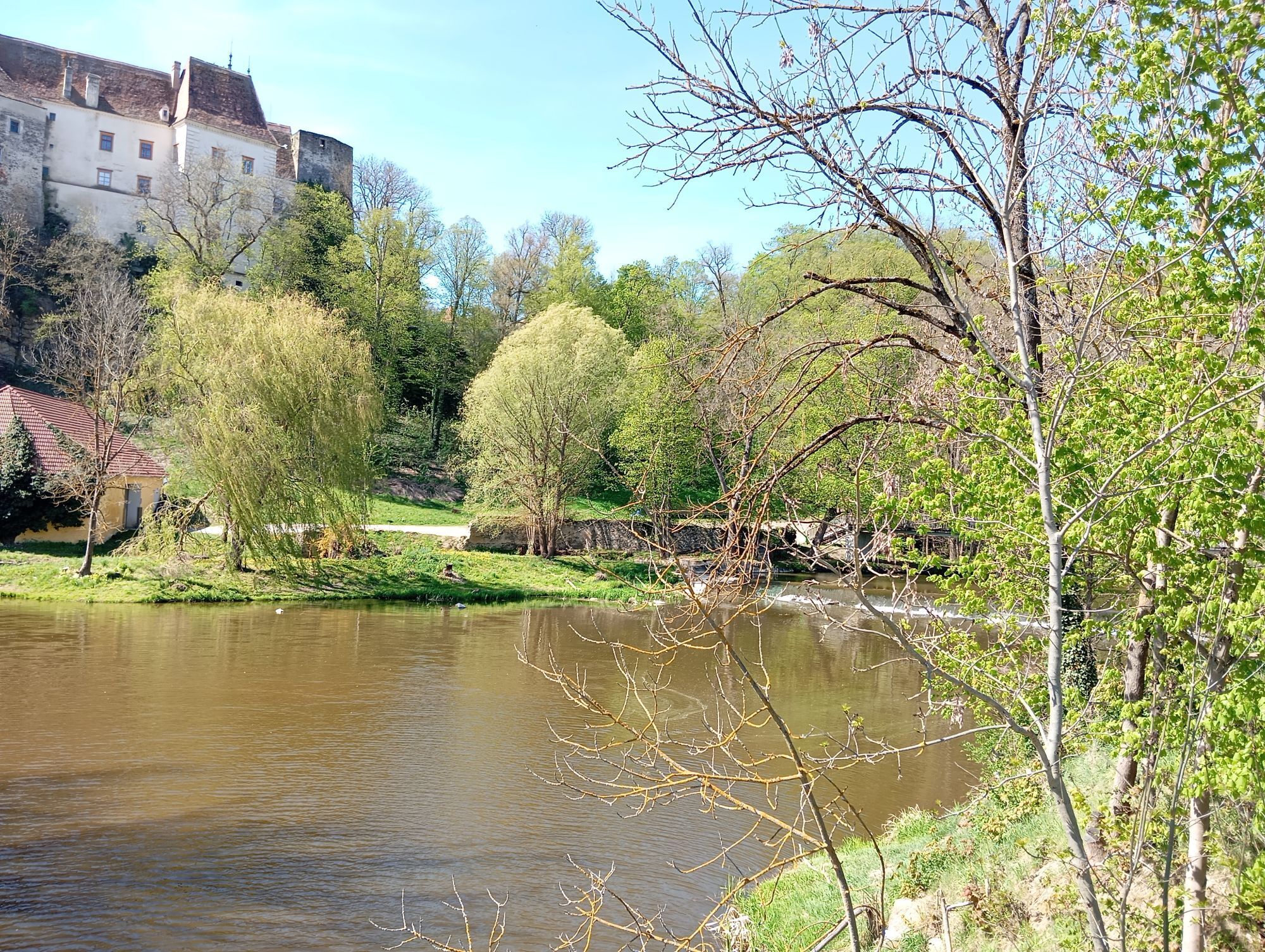
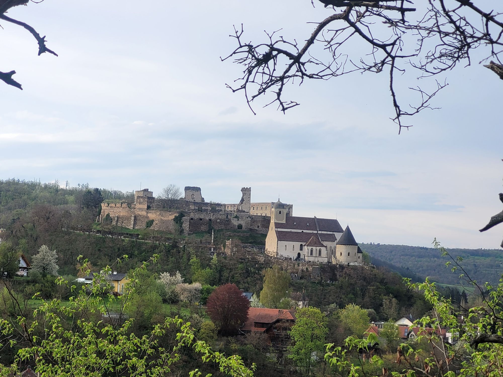
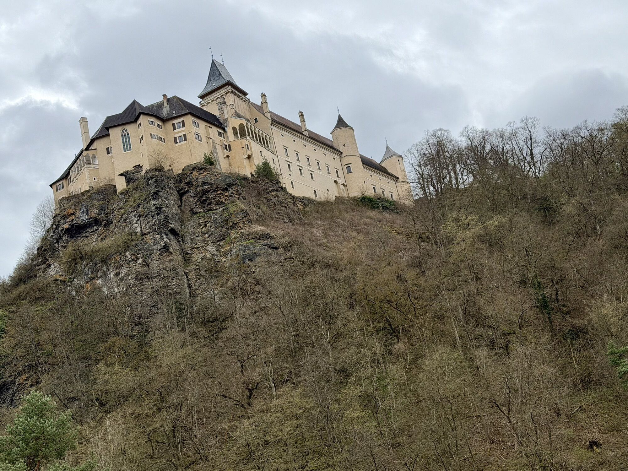
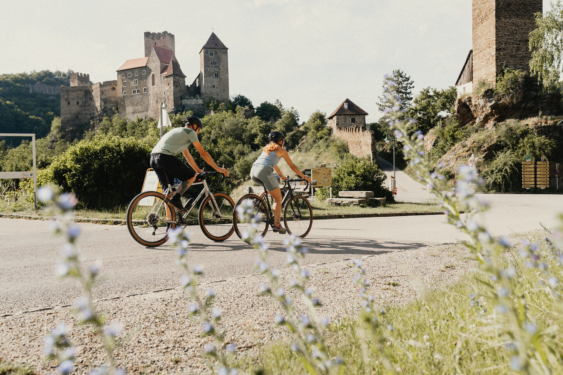
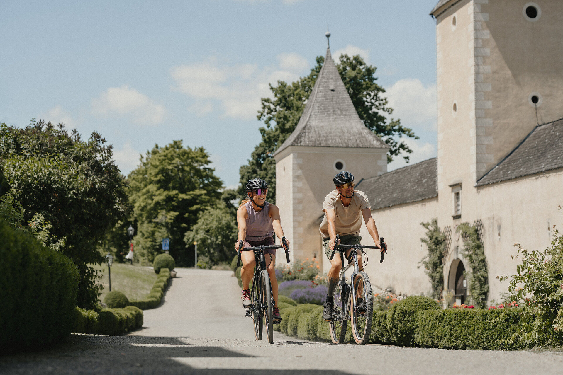
La piste cyclable attrayante, située dans le nord-est de l'Autriche, suit au total trois cours d'eau et traverse le Wald- et Weinviertel – deux régions romantiques à la frontière tchèque. Diversité paysagère, signalisation intelligente, personnes amicales et serviables ainsi qu'une grande valeur de détente – la revue allemande « aktiv Radfahren » n'a que des éloges pour la piste cyclable Kamp-Thaya-March (KTM). Avec quatre étoiles et le label de qualité « fortement recommandée », la rédaction a récompensé cette route de plus de 400 km, qui mène de Krems an der Donau à travers le Wald- und Weinviertel dans l'immense paysage alluvial de la March, une région cyclable largement inconnue en dehors des routes principales et du tourisme de masse. Les étapes, d'une longueur entre 30 et 55 kilomètres, peuvent être variées à souhait, les tronçons les plus exigeants se concentrant principalement dans le Waldviertel. Nature sauvage, villages isolés, châteaux médiévaux et vignobles soignés font de la tournée une expérience inoubliable.
Entre Gars am Kamp et Rosenburg, des fermetures sont en place en raison de zones dangereuses - suivez la déviation locale !
Laissez-nous organiser et transporter vos bagages afin que vous puissiez pleinement profiter de votre expérience cycliste. >> VERS LA PLANIFICATION

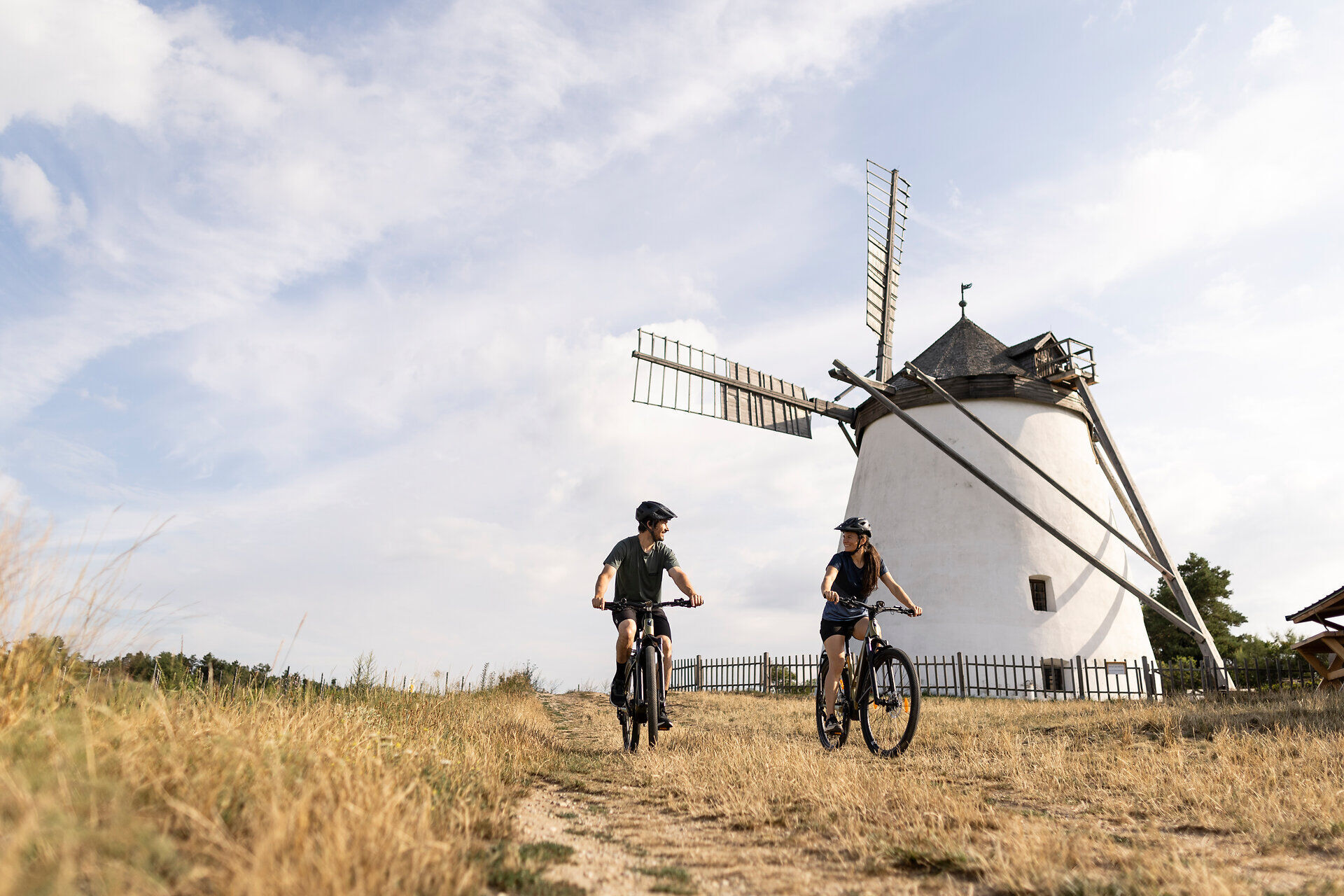
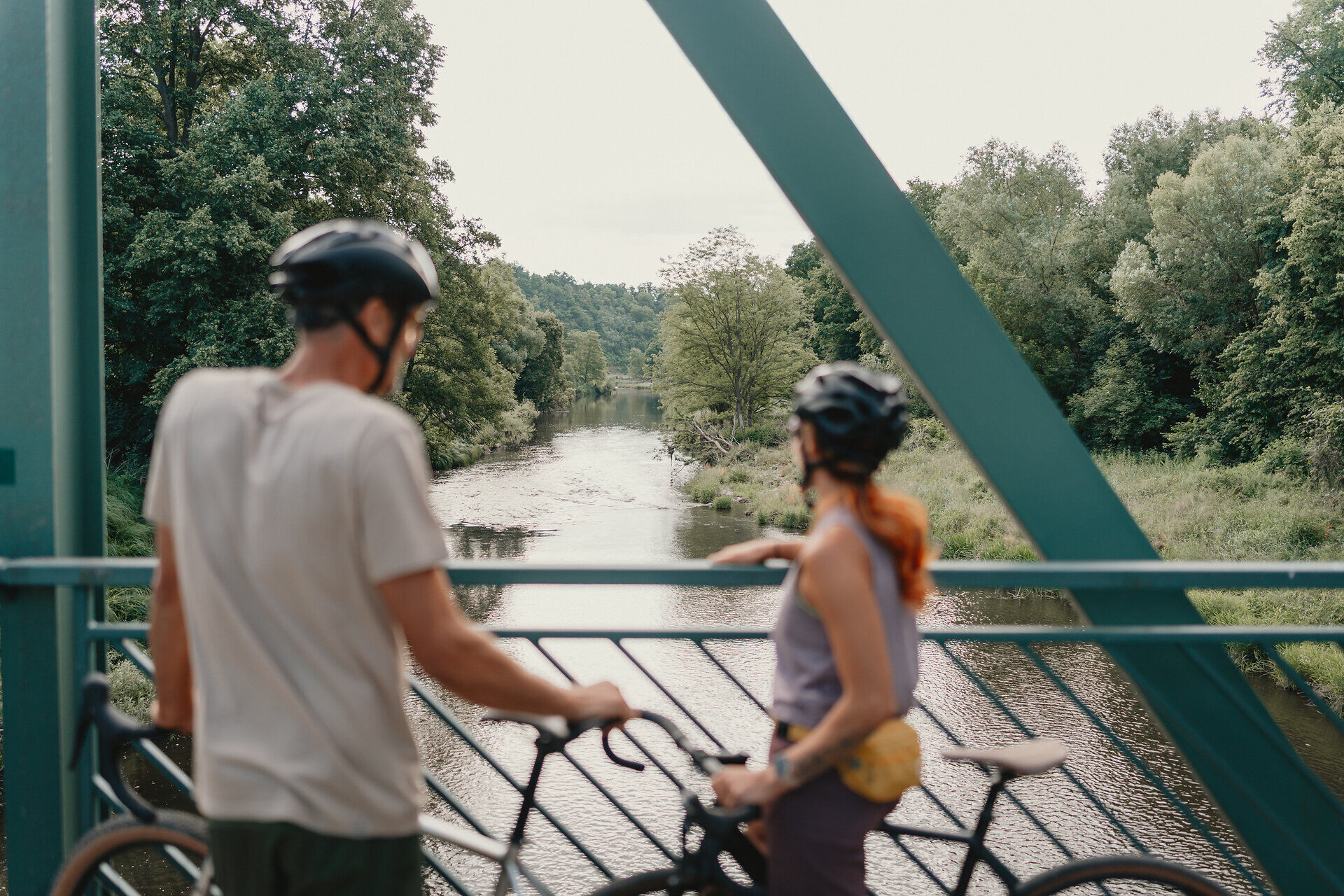
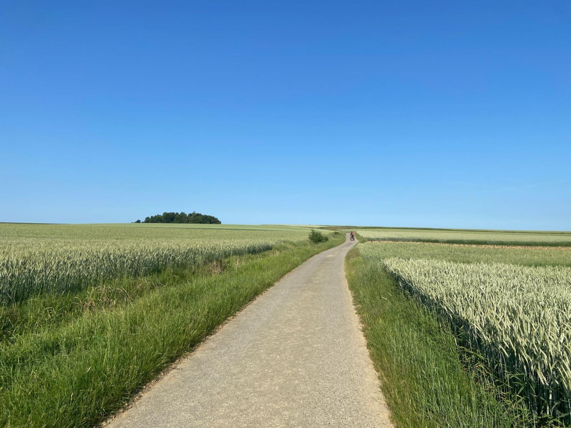
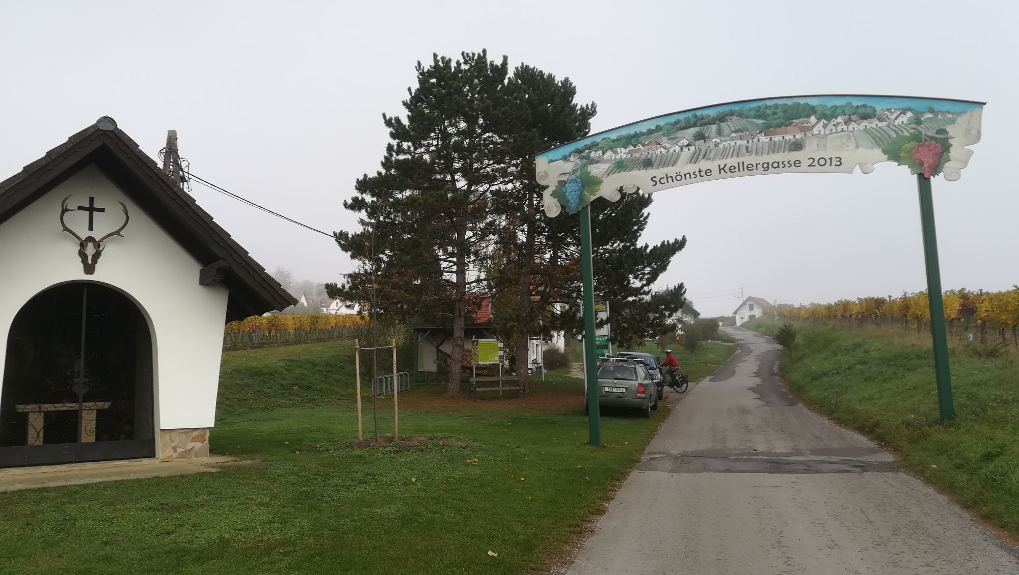
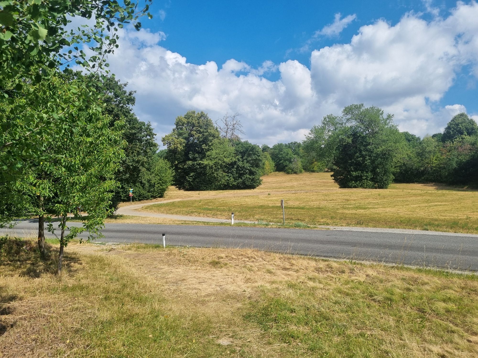
Au début de la tournée, vous pourrez profiter d'une belle randonnée à vélo le long du Kamp, puis vous attendent des sections en côte dans le Waldviertel. À travers le Weinviertel, la route descend pour la plupart, et enfin, vous traversez le paysage doucement vallonné jusqu'au Danube. La route passe principalement sur des chemins agricoles sans circulation et des routes secondaires. Le tronçon du Waldviertel est généralement goudronné, tandis que dans le Weinviertel, vous croiserez aussi des chemins agricoles gravillonnés. Le circuit Kamp-Thaya-March est bien balisé. Le long du parcours, vous trouverez également des panneaux cyclables indiquant de petites boucles régionales (par ex. la randonnée étangs-et-petits-lacs) et des tours nommées d'après des cépages (par ex. Welschriesling). Vous trouverez des informations sur ces petites boucles dans les cartes cyclables Weinviertel Est et Weinviertel Ouest.
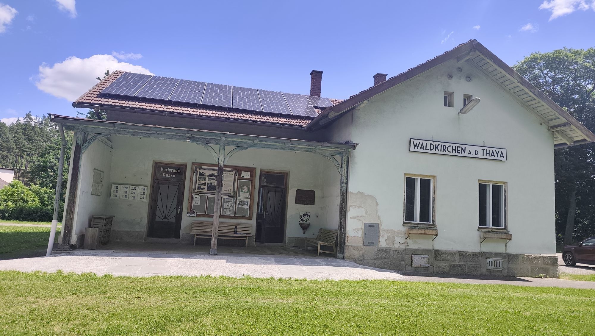
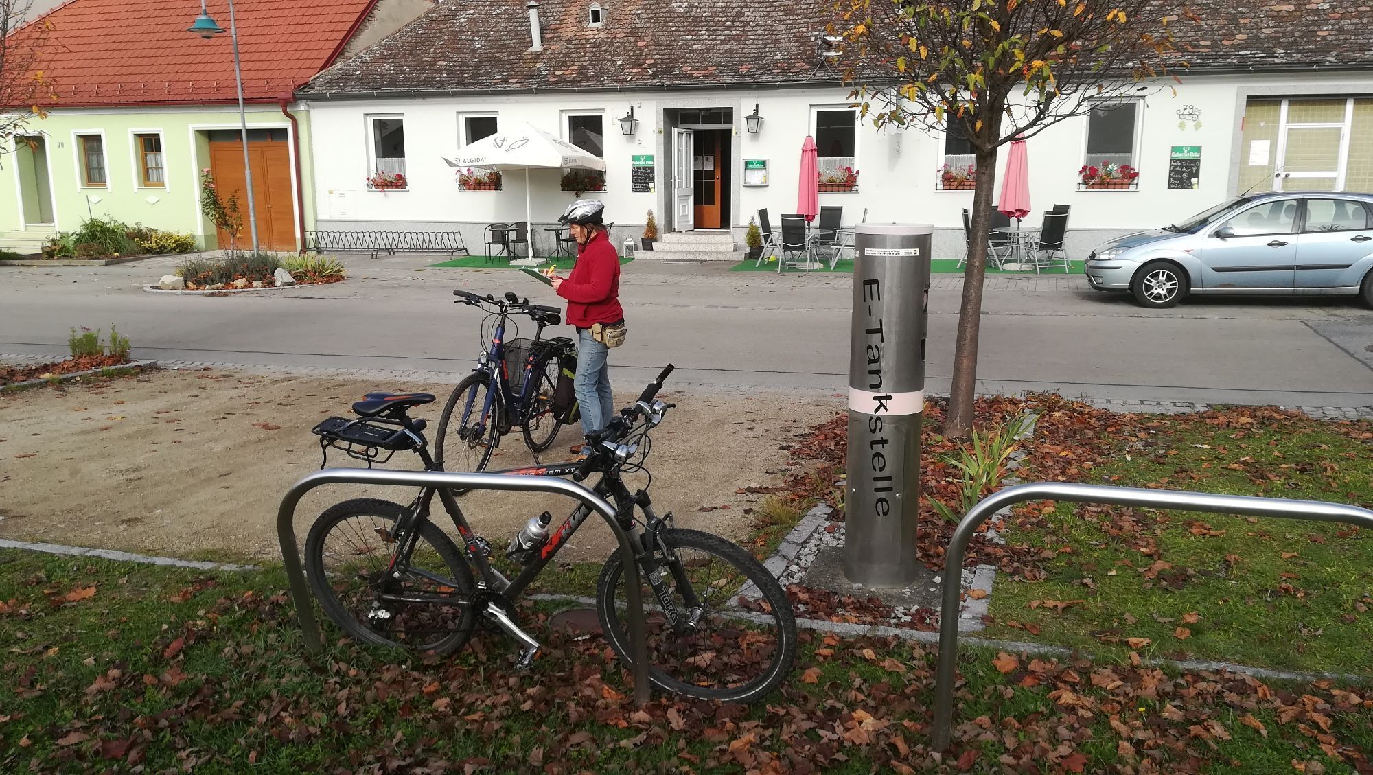
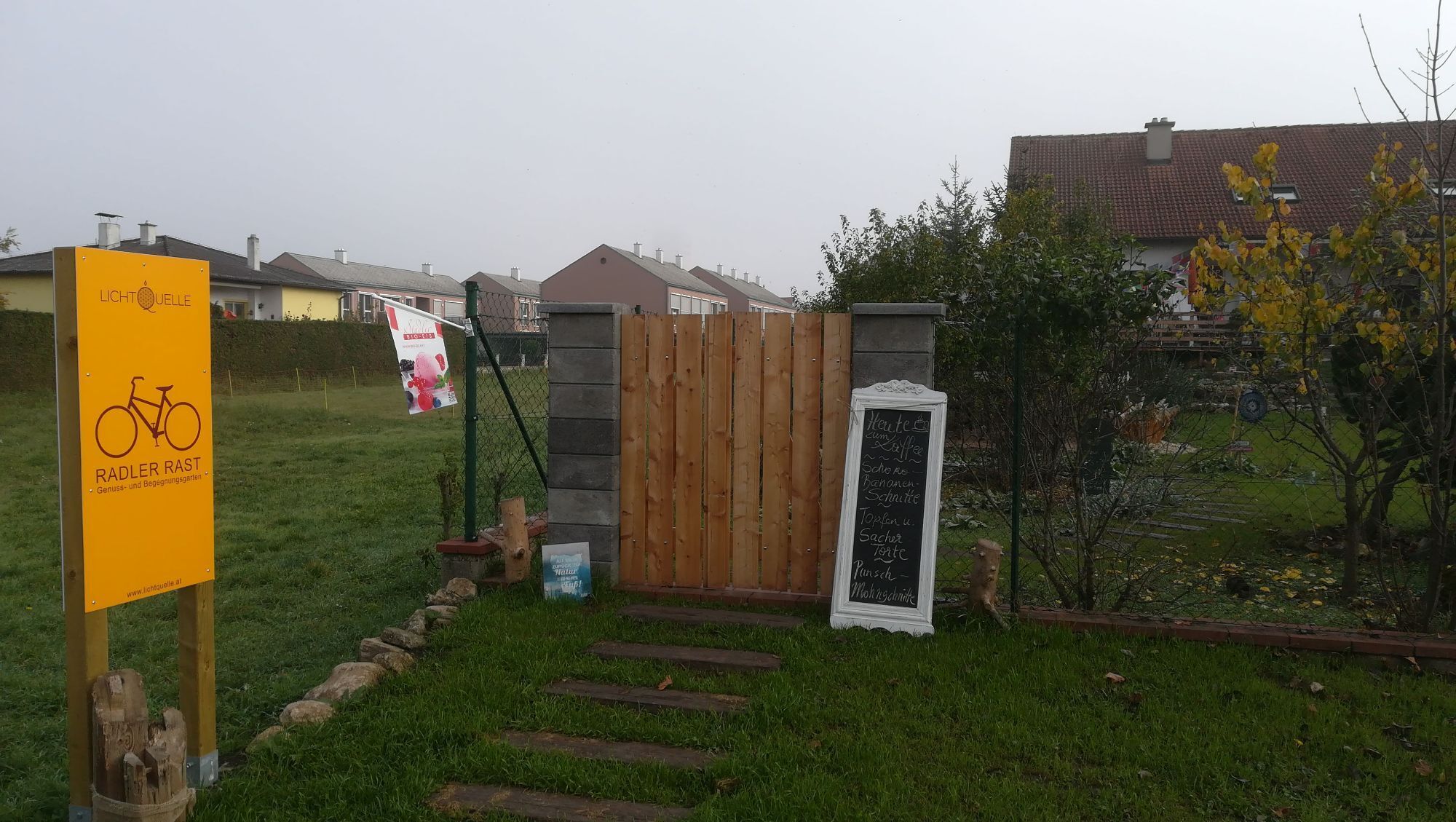
Grâce au guide parfait du parcours KTM, l'orientation sur la route est facile, et l'infrastructure pour les amateurs de deux-roues comprend des restaurateurs et hébergeurs accueillants pour cyclistes, ainsi que des stations de service et la connexion de la piste KTM au réseau de transport.
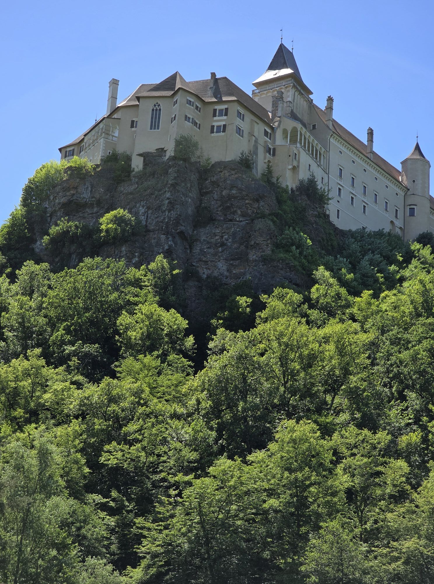
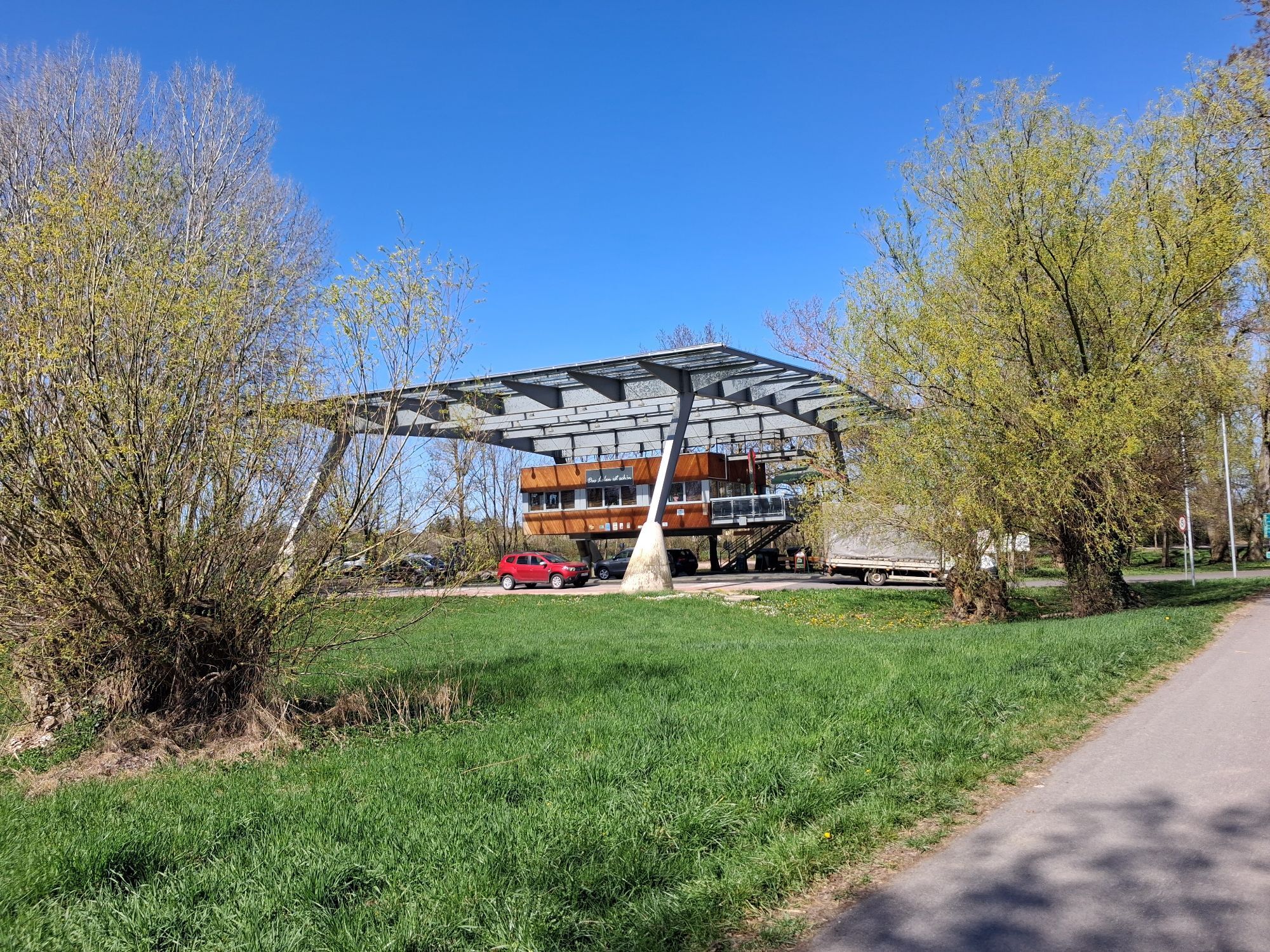
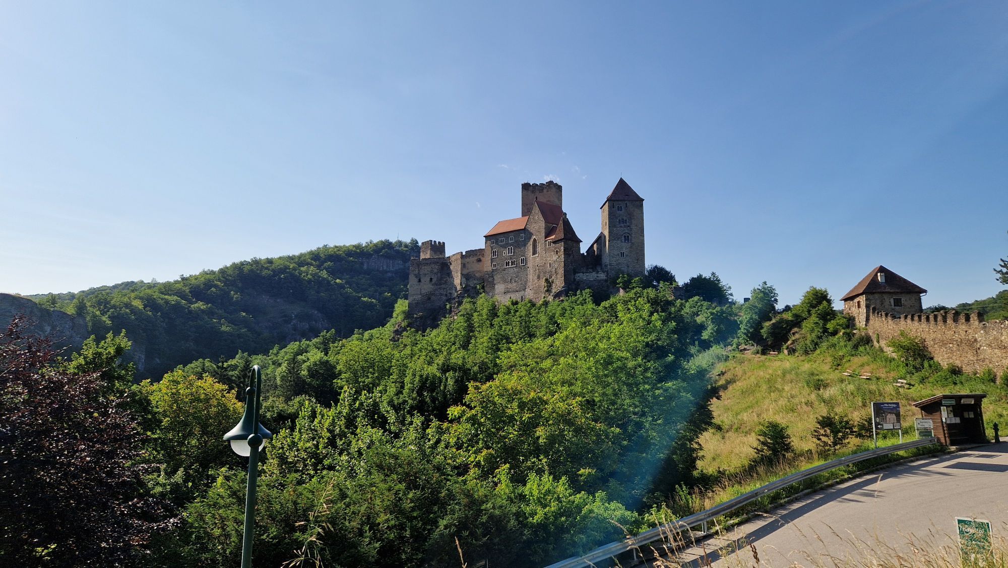
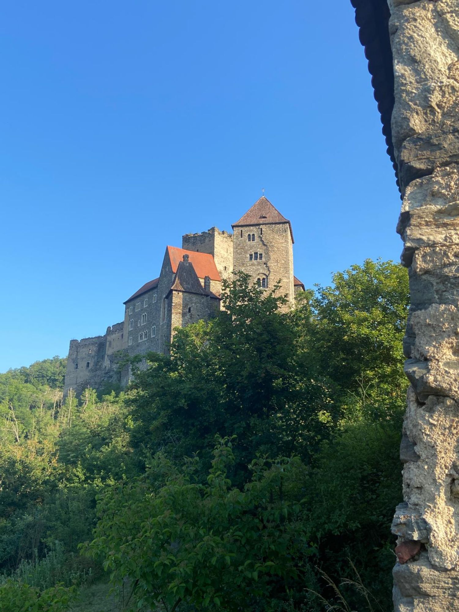
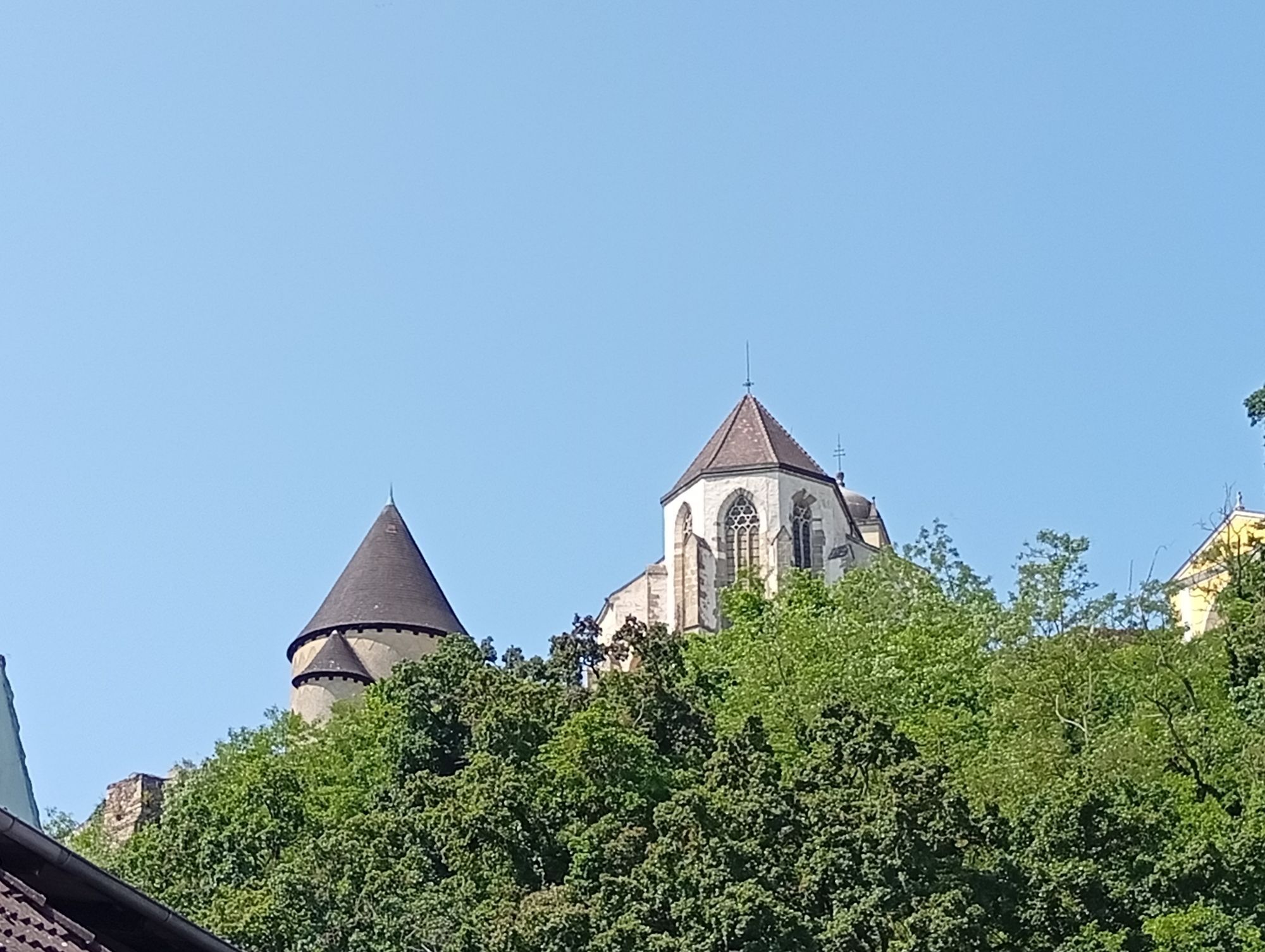
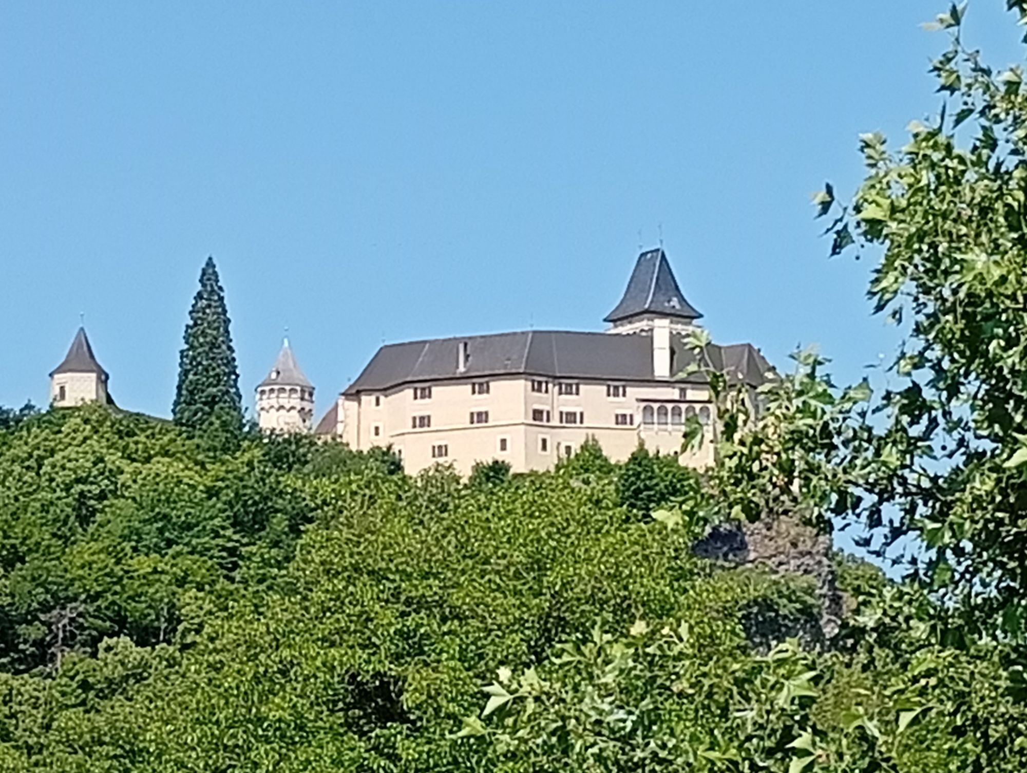
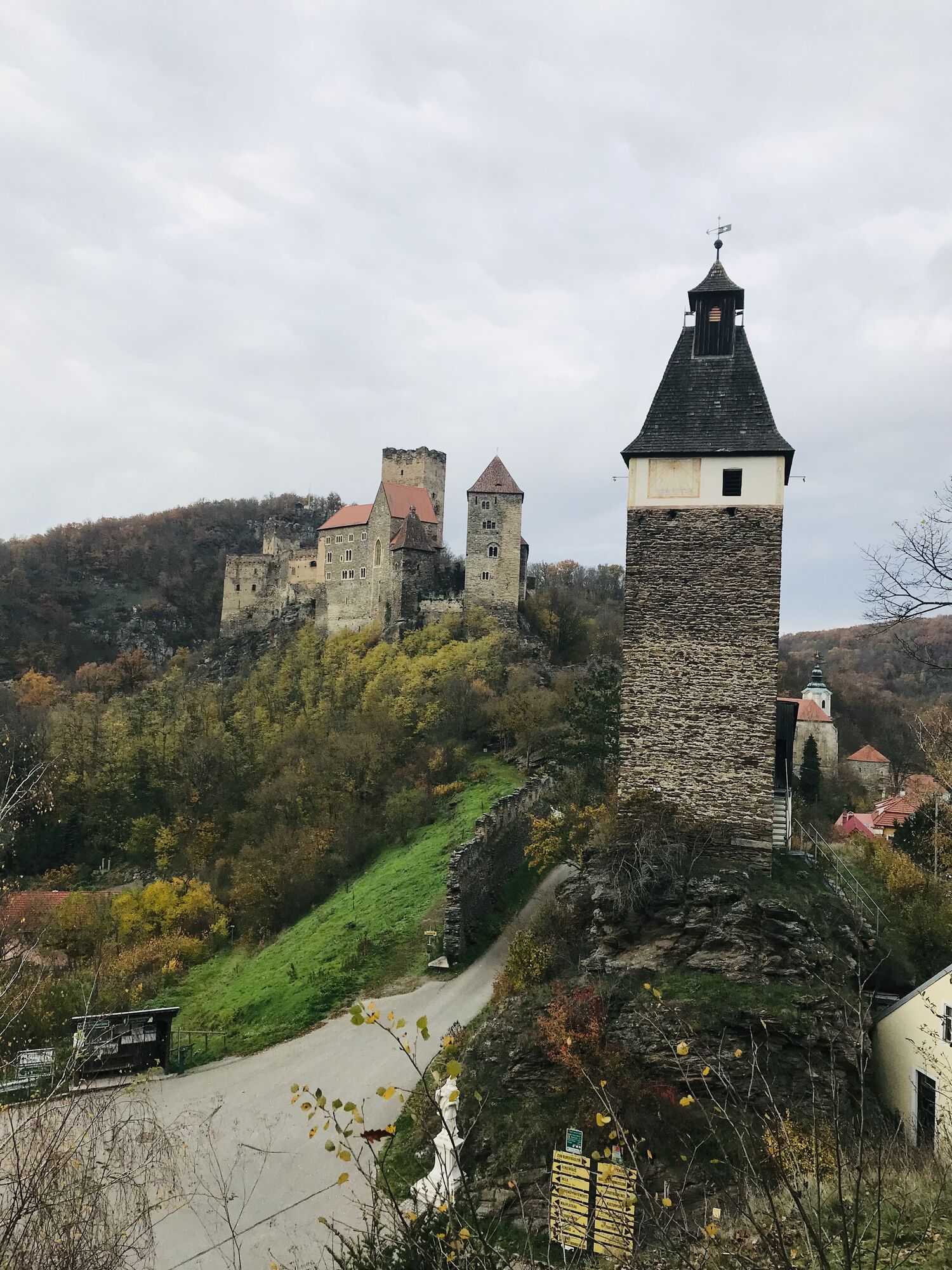
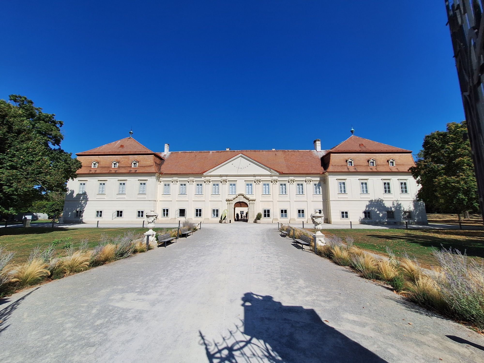
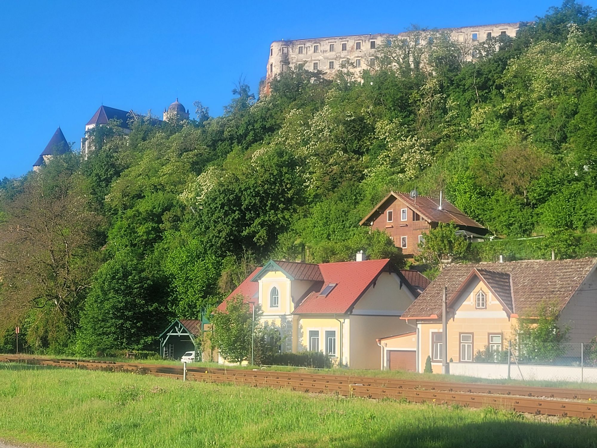
La route est à planifier au minimum pour une semaine ou plus (par ex. pour des voyages culinaires de découverte ou des tours en train nostalgique et vélo dans la vallée de la Thaya, le plus petit parc national d'Autriche). Les points forts le long de cet itinéraire : le monde du vin et du raisin de Poysdorf, Loisium à Langenlois, le château Renaissance de Rosenburg, les monastères à Altenburg, Zwettl et Geras, la cave à expérience de Retz, la station de baguage de Hohenau, le château de Jedenspeigen ou les thermes de Laa.
Suggestions d'étapes :
La piste cyclable de 420 km peut également être divisée en étapes plus petites. Cela facilite le cyclisme.
Étape 1 : Krems – Rosenburg 41,5 km
Étape 2 : Rosenburg – Friedersbach 43 km
Étape 3 : Friedersbach – Waidhofen/Thaya 53,3 km
Étape 4 : Waidhofen/Thaya – Drosendorf/Thaya 57 km
Étape 5 : Drosendorf – Retz 43 km
Étape 6 : Retz – Laa 48,3 km
Étape 7 : Laa – Herrnbaumgarten 40 km
Étape 8 : Herrnbaumgarten – Angern 59 km
Étape 9 : Angern – Hainburg 40,2 km
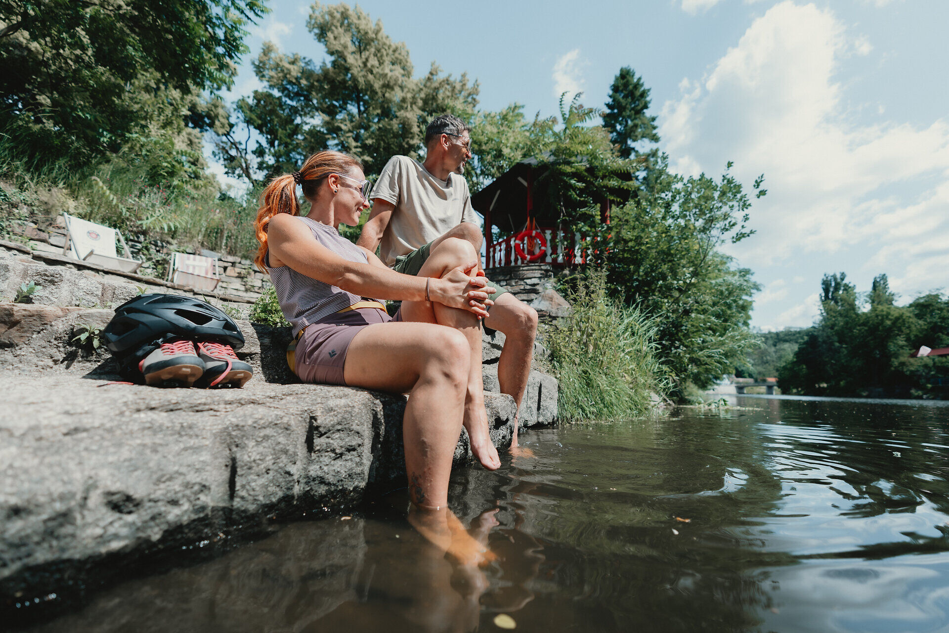
La route est adaptée aux vélos de trekking. Nous recommandons : casque, vêtements et chaussures appropriés, protection contre la pluie et le soleil, trousse de premiers secours (pansements pour ampoules), ravitaillement suffisant (en-cas, barres de céréales, fruits, eau).
Assurez-vous que la route choisie correspond à votre condition physique. Vérifiez si les établissements gastronomiques que vous souhaitez visiter en cours de route sont ouverts. Emportez votre téléphone portable et du matériel cartographique dans votre sac à dos.
Entre Gars am Kamp et Rosenburg, des fermetures sont en place en raison de zones dangereuses - suivez la déviation locale !
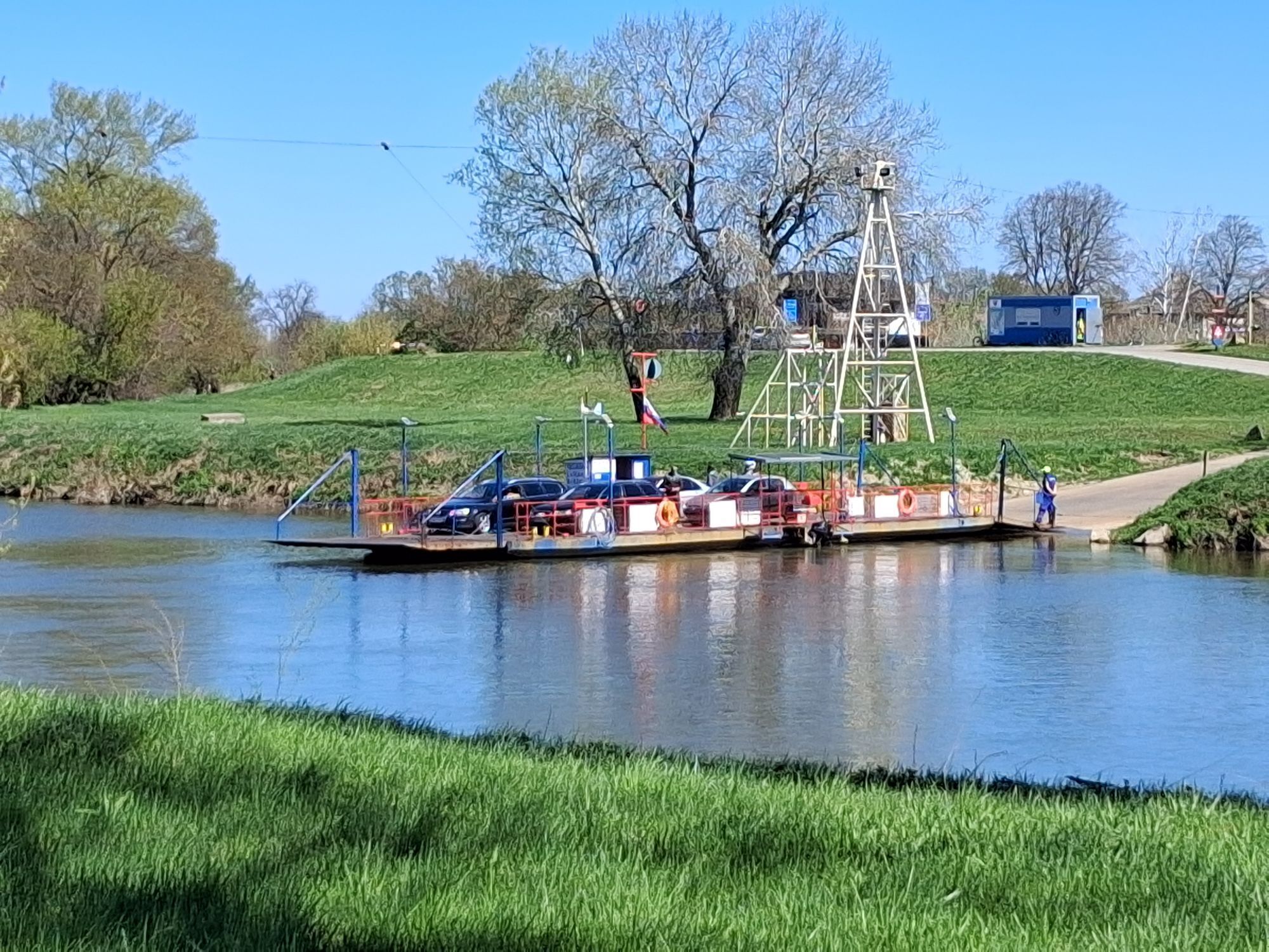
Connexion Nord ÖBB de Hohenau/March jusqu'à Angern/March
Tourisme Waldviertel
3910 Zwettl, Sparkassenplatz 1/2/2
(T) +43 2822 541090
(E) info@waldviertel.at
(I) www.waldviertel.at
Tourisme Weinviertel
2170 Poysdorf, Wiener Straße 1
(T) +43 2552 3515
(E) info@weinviertel.at
(I) www.weinviertel.at
Dans la région Waldviertel, vous trouverez de nombreux partenaires cyclistes, spécialement équipés pour répondre aux besoins des cyclistes.
Dans la région Weinviertel, il y a également plus de 100 partenaires cyclistes qui tiennent particulièrement compte des besoins des cyclistes. Vous trouverez la liste complète de tous les partenaires sur notre page des partenaires cyclistes. La fonction de filtrage vous permet d'afficher facilement les partenaires correspondant à la piste cyclable souhaitée. Un autre filtrage vous permet de rechercher un hébergement adapté ou un établissement gastronomique correspondant.
Parcours populaires à proximité
-
4,5
DAC Radtour-Weinviertel
moyenFaire du vélo 55,1 km -
4,2
»tut gut« Wanderweg Pulkau | Route 2
moyenRandonnée 7,29 km -
4,5
Kellergassenrundwanderweg
moyenRandonnée 8,69 km -
4,0
Rivaner-Radtour
Faire du vélo 54 km -
3,5
Portugieser-Radtour
Faire du vélo 67 km -
3,5
Pierre & vin
moyenRandonnée 10,8 km -
2,6
Chardonnay-Radtour
Faire du vélo 33,5 km -
5,0
Eggenburg und Kogelsteine
facileRandonnée 8,25 km -
4,5
Bergrunde
moyenRandonnée 5,18 km -
4,0
»tut gut« Wanderweg Pulkau | Route 3
moyenRandonnée 6,52 km
Randonnée et suivi


Ne manquez pas les offres et l'inspiration pour vos prochaines vacances
Votre adresse électronique a été ajouté à la liste de diffusion.