



Kitinen and Jeesiö riverside route 4,5 km | Sodankylä

Niveau de difficulté: T1
From the centre of Sodankylä, you can easily reach a graveled, well-lit and year-round maintained trail, which runs along the Kitinen and Jeesiö rivers, with moderate elevation changes and easy access....
Along the route and in the vicinity you will find, among other things, the old church of Sodankylä, built in 1689, the old market place of the Sámi people (Kyläsiljo), the Pappilanniemi nature trail and covered fireplace, an accessible fishing spot, the beach and the historic local museum with its charming courtyards. The trail runs close to Sodankylä town centre and is easily accessible from several points along the way.

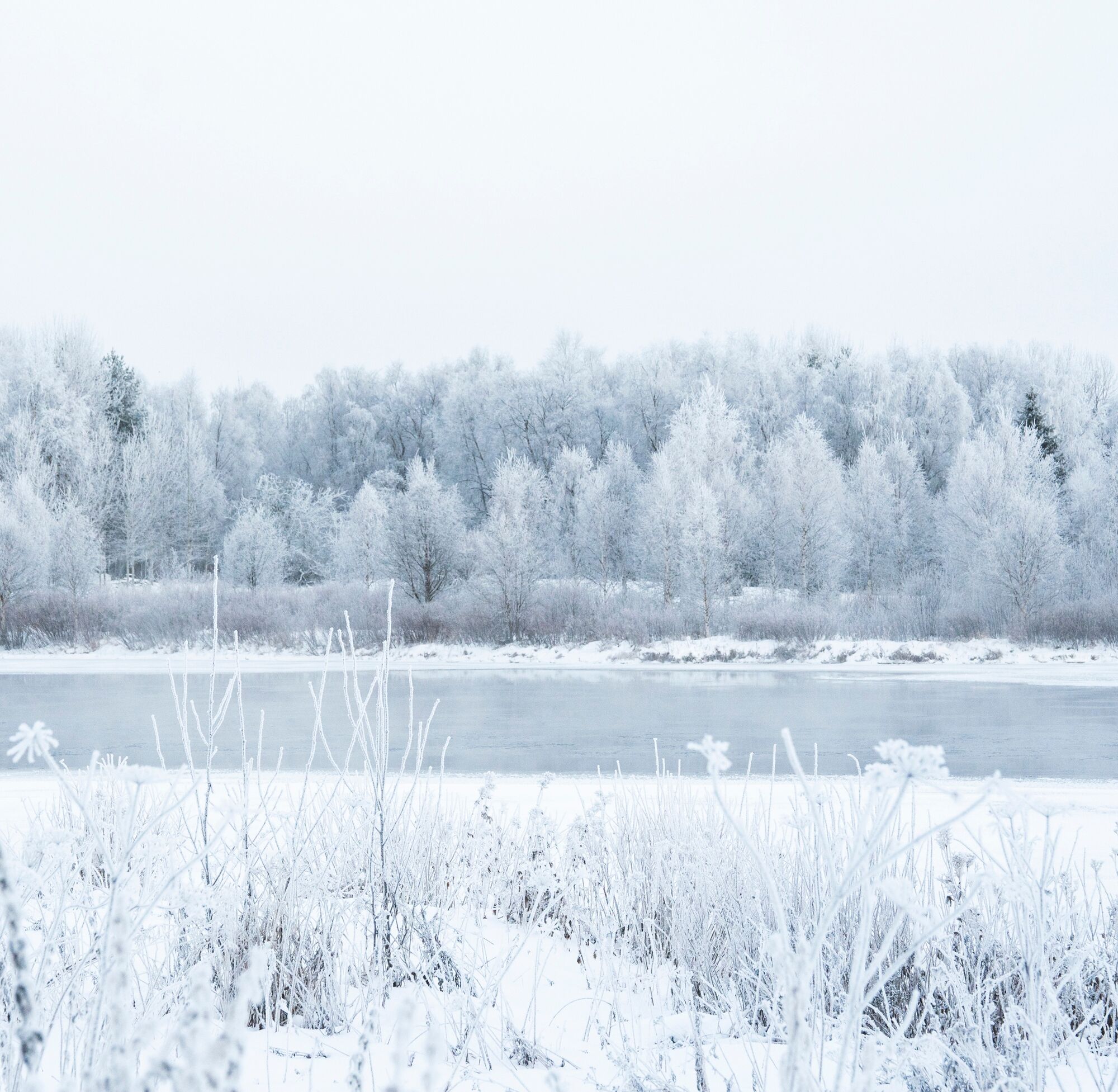
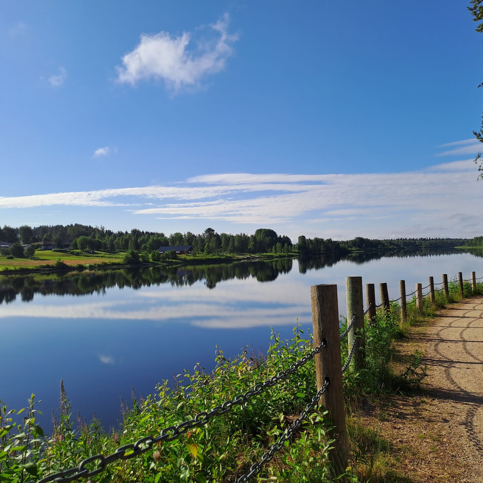
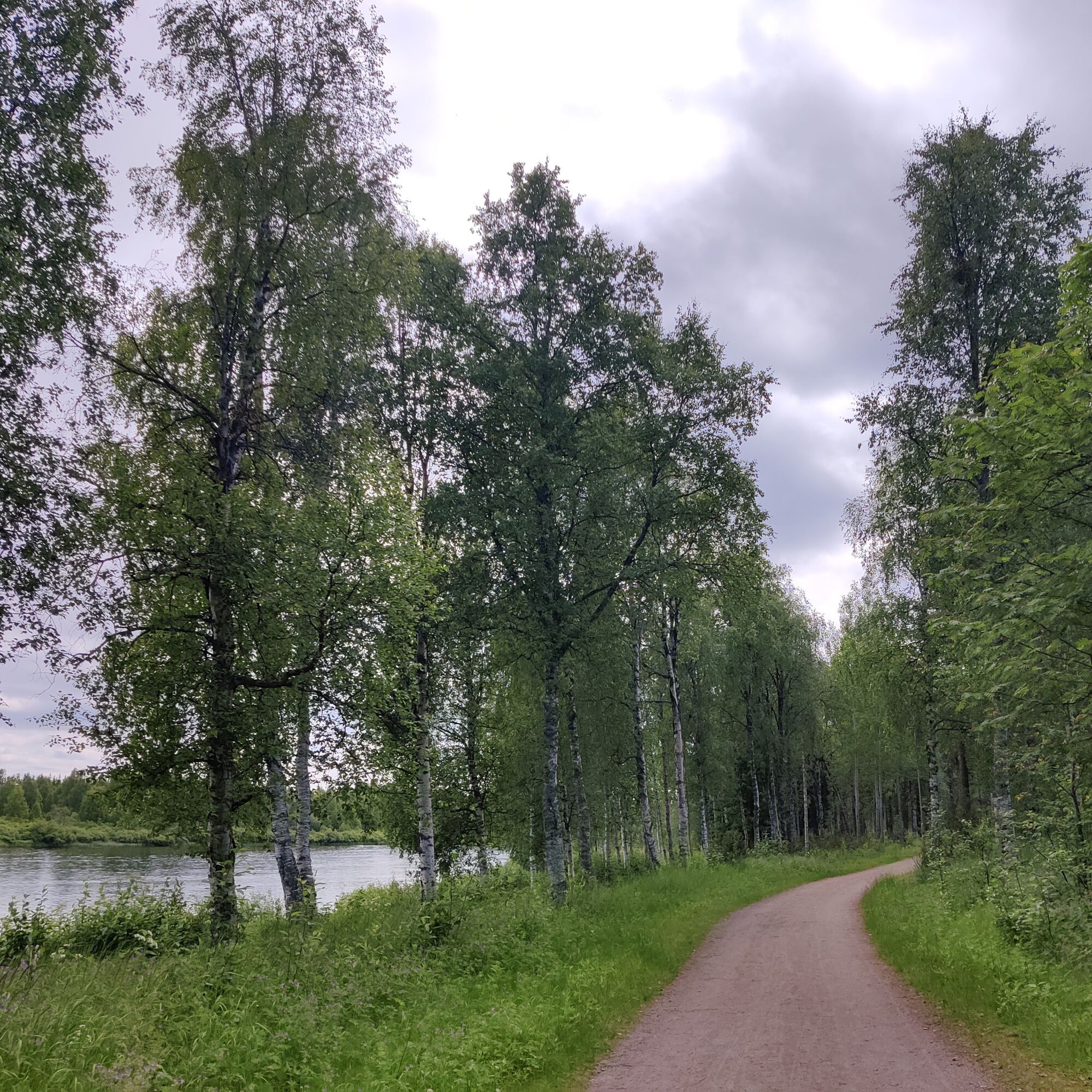
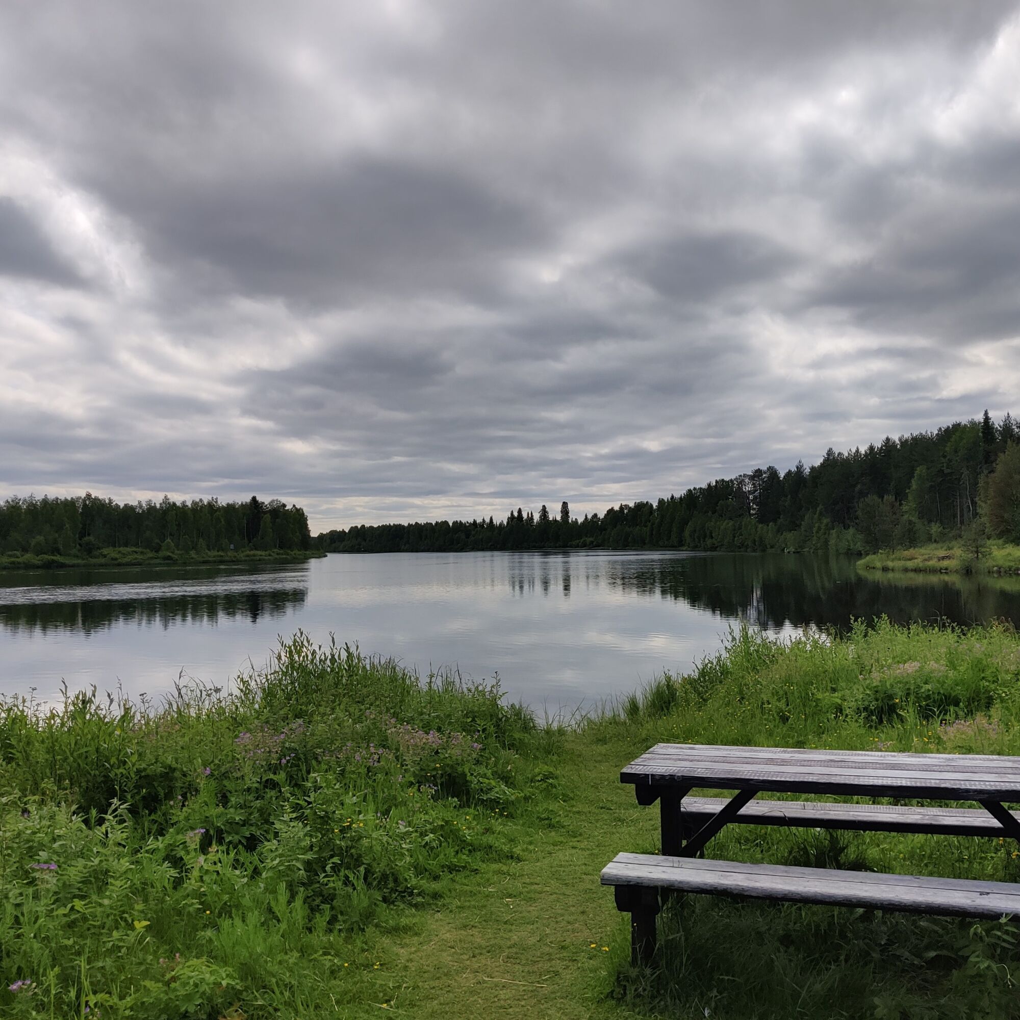
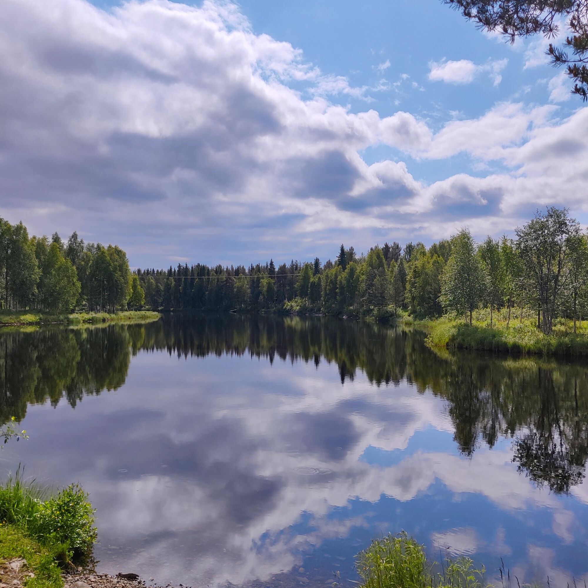
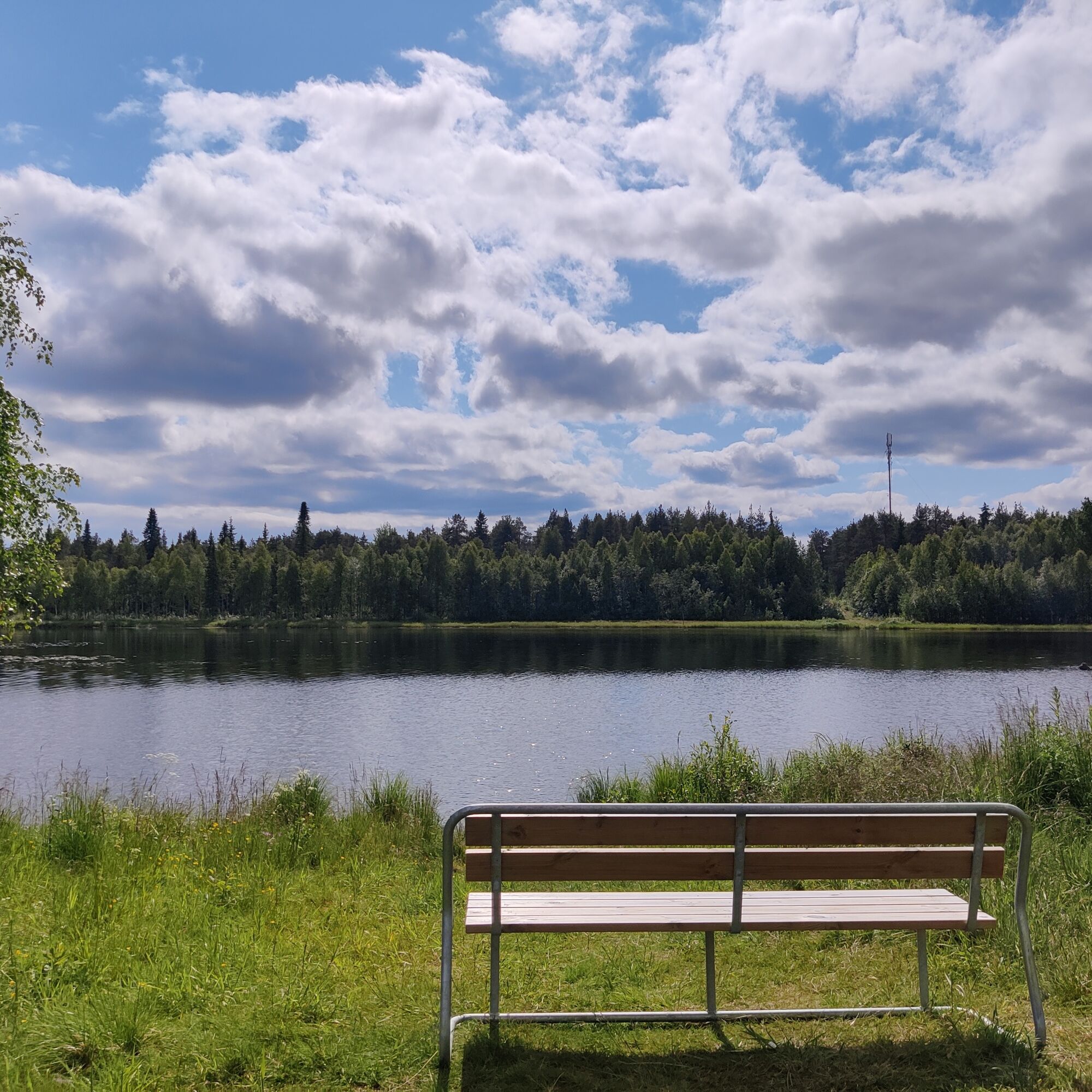
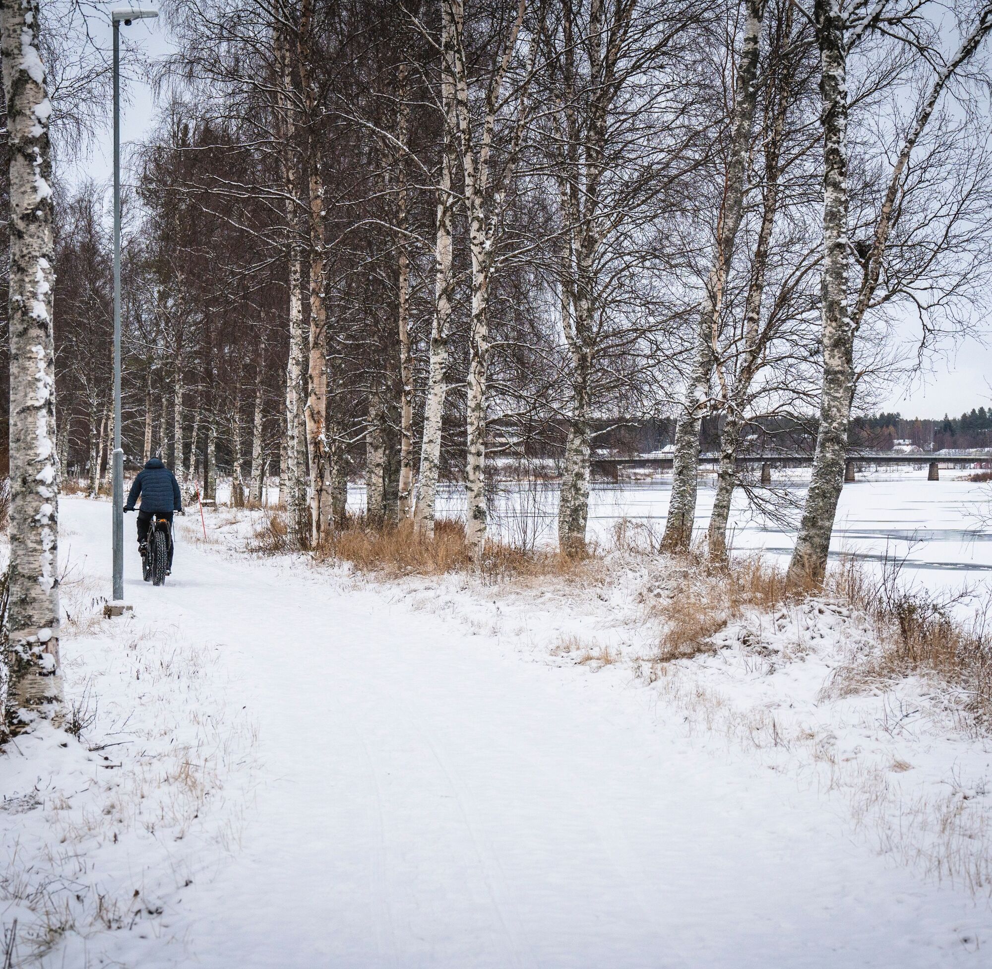

To get to the footpath and under the bridge, you will need to walk a short distance along the roadside. Once under the bridge, head towards the Jeesiö riverbank. On the way, you will pass an accessible fishing spot with a lean to shelter. Along the route you will also find a small beach and the Sodankylä sports park with its many facilities. Follow the route along the Jeesiöjoki riverside path towards Tähtikunta school, where the route ends at its parking area. If you wish, you can return along the same route. Enjoy your trip and the spectacular scenery!
Oui
Oui
Dress for the weather.
Wear comfortable walking shoes.
There are several rest stops along the route.
Take care when walking nearby water, especially with children.
Quicker to give way, if overtaking, shout your intentions to the person ahead.Arriving from the south, drive along the Jäämerentie until you reach the junction with Lompolontie. Turn right into Lompolontie and continue towards the Kitinen beach. The starting point of the route is at the right-hand corner of the parking lot in the direction of arrival.
From Sodankylä bus station you can reach the starting point of the route in a few minutes. From the bus station, head over the Jäämerentie and then along the Lompolontie until you reach the shore of Kitinen. Turn right at the beach and continue along the light traffic route southwards.
See public transport timetables at matkahuolto.fi/en.
Free parking is available at the starting point.
T1
Grab a snack and take a break at Pappilanniemi.
Parcours populaires à proximité
-
Sentier nature de Pappilanniemi 1,8 km | Sodankylä
facileChemin thématique 1,73 km -
Sentier nature Paavon Polku 2,7 km, Sodankylä
facileChemin thématique 2,75 km -
Jupukka Trail Center, Aappa helppo alamäkipyöräilyreitti
facileVTT 0,39 km -
Hööri Trail Center, Heepere nousureitti
facileVTT 0,89 km -
Hööri Trail Center, Haipakka keskivaativa alamäkipyöräilyreitti
moyenVTT 0,69 km -
Kommatti XC-kesäpyöräilyreitti
moyenVTT 6,12 km -
Kommatti Skillpark
facileVTT 0,41 km -
Jupukka Trail Center, Muikia helppo alamäkipyöräilyreitti
facileVTT 0,45 km -
Jupukka Trail Center, Vilikeri helppo alamäkipyöräilyreitti
facileVTT 0,40 km -
Hööri Trail Center, Hulumi keskivaativa alamäkipyöräilyreitti
moyenVTT 0,66 km

Randonnée et suivi


Ne manquez pas les offres et l'inspiration pour vos prochaines vacances
Votre adresse électronique a été ajouté à la liste de diffusion.


