





Portimo trails - Vehkalinna-Kuntohuhta, Hamina

Vehkalinna in Husula is widely regarded as the "official" starting point for the Portimo trails. There is plenty of parking space. There is a box next to the signpost where you can take a map of the trail...
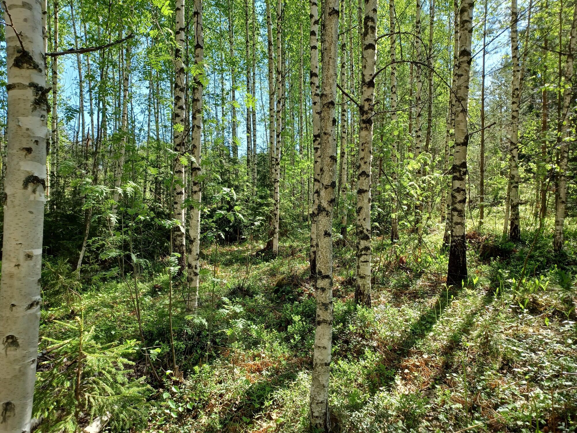
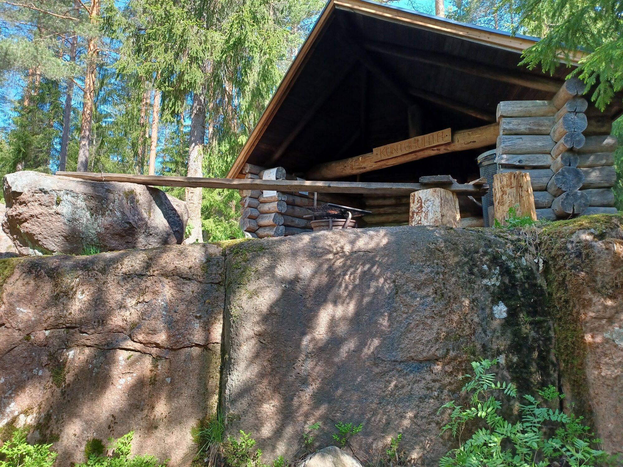
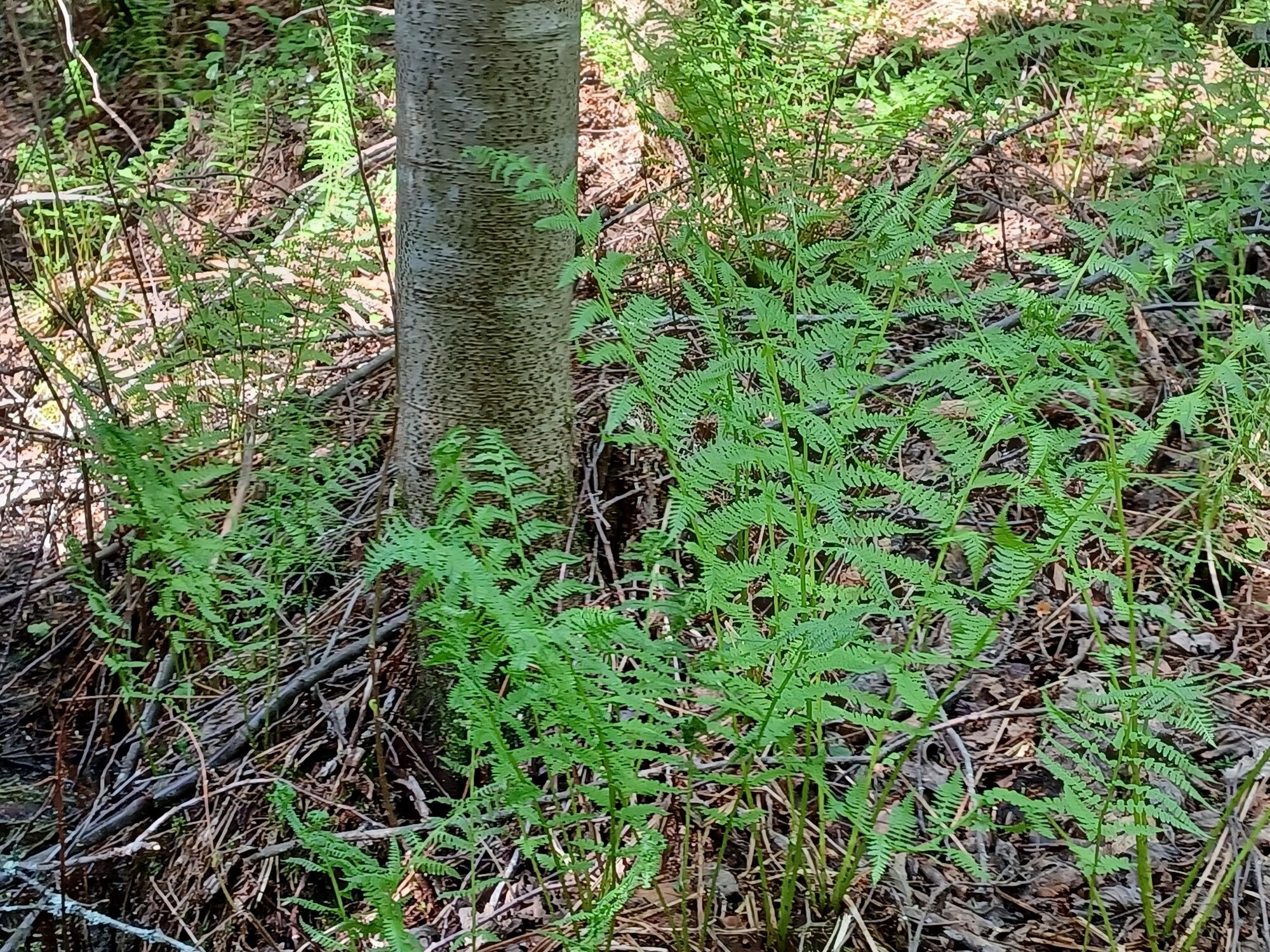
Vehkalinna in Husula is widely regarded as the "official" starting point for the Portimo trails. There is plenty of parking space. There is a box next to the signpost where you can take a map of the trail with you. The distance to the Kuntohuhda lodge is about 3.5 km, depending on the route you choose. There are also two short ring trails for the younger members of the family to enjoy the forest. These are just over a kilometre round trip.


Hiking gear for the weather
The Kuntohuhta hut can also be reached by skiing along the scenic trail in winter
You can easily plan longer routes in the Portimo Trail Network
Overnight stays are permitted at all Portimo Trail huts and it is allowed to pitch a tent near the huts.
Parcours populaires à proximité
-
Parcours à vélo de Villa Jaakkola - Escale à Hamina
facileFaire du vélo 27,1 km -
Sentier nature de Horessootin, Hamina
facileChemin thématique 3,24 km -
Alvar Aalto à Kymenlaakso
facileFaire du vélo 96,8 km -
Hamina cycling route
facileFaire du vélo 16,4 km -
Sentiers Portimon - parcours du mont Äijänvuori, Hamina
moyenRandonnée 4,55 km -
Sentiers Portimon - parcours Viitavuori - Oravakorpi, Hamina
moyenRandonnée 6,43 km -
Parcours rural de Villa Jaakkola
facileFaire du vélo 35,8 km -
Portimo trail - Kirimaja tour, Hamina
Randonnée 8,15 km -
Tarmola - Teirikallio - walking route
facileRandonnée 7,36 km -
Portimon polut, Riuhtan reitti
moyenRandonnée 2,83 km
Randonnée et suivi


Ne manquez pas les offres et l'inspiration pour vos prochaines vacances
Votre adresse électronique a été ajouté à la liste de diffusion.





