




Pyhtää branch canoeing route of Kymijoki River
The Pyhtää branch canoeing route is the longest of the three different route options of the branches of Kymijoki River. The route starts from Inkeroinen and continues along the main branch of Kymijoki...
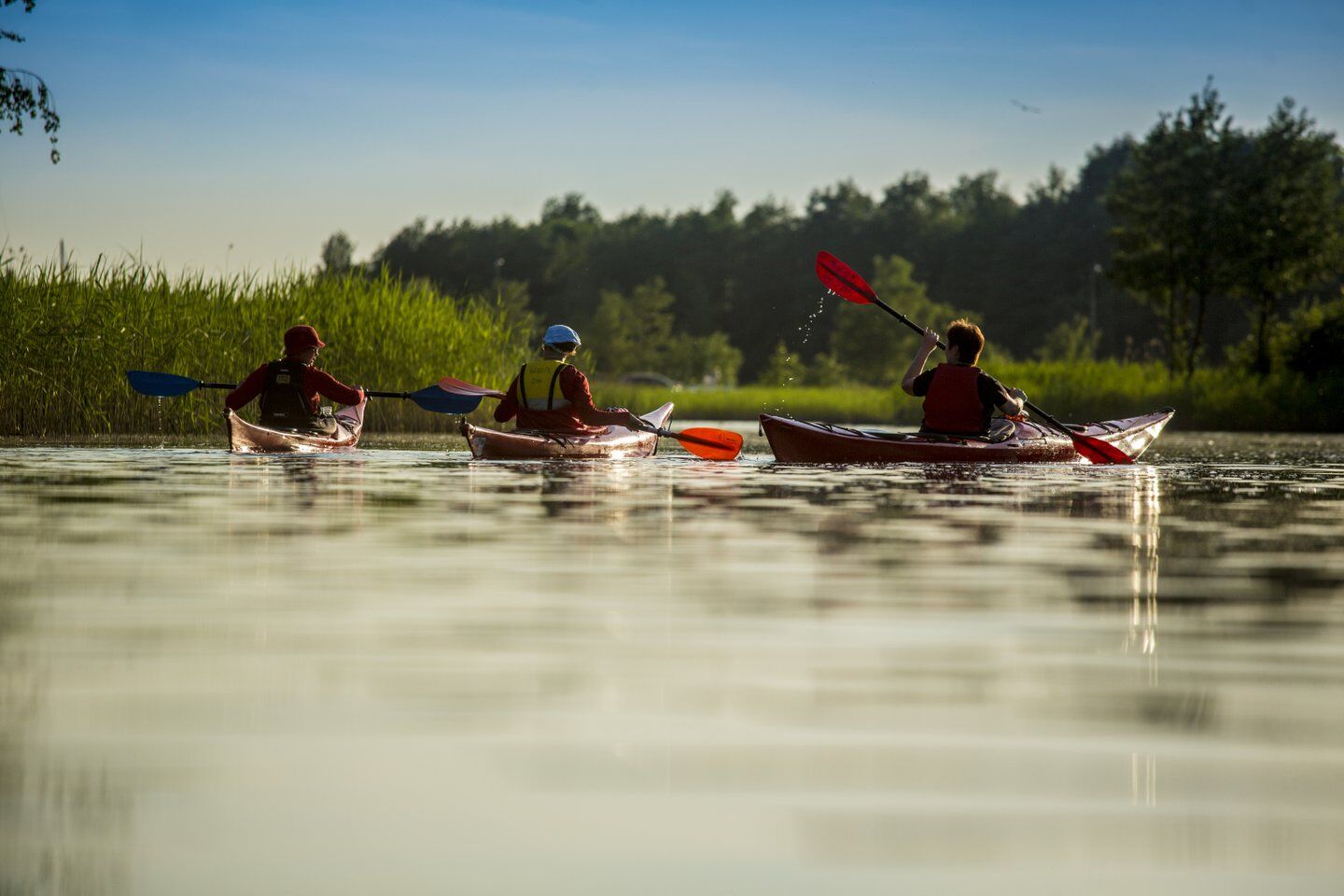
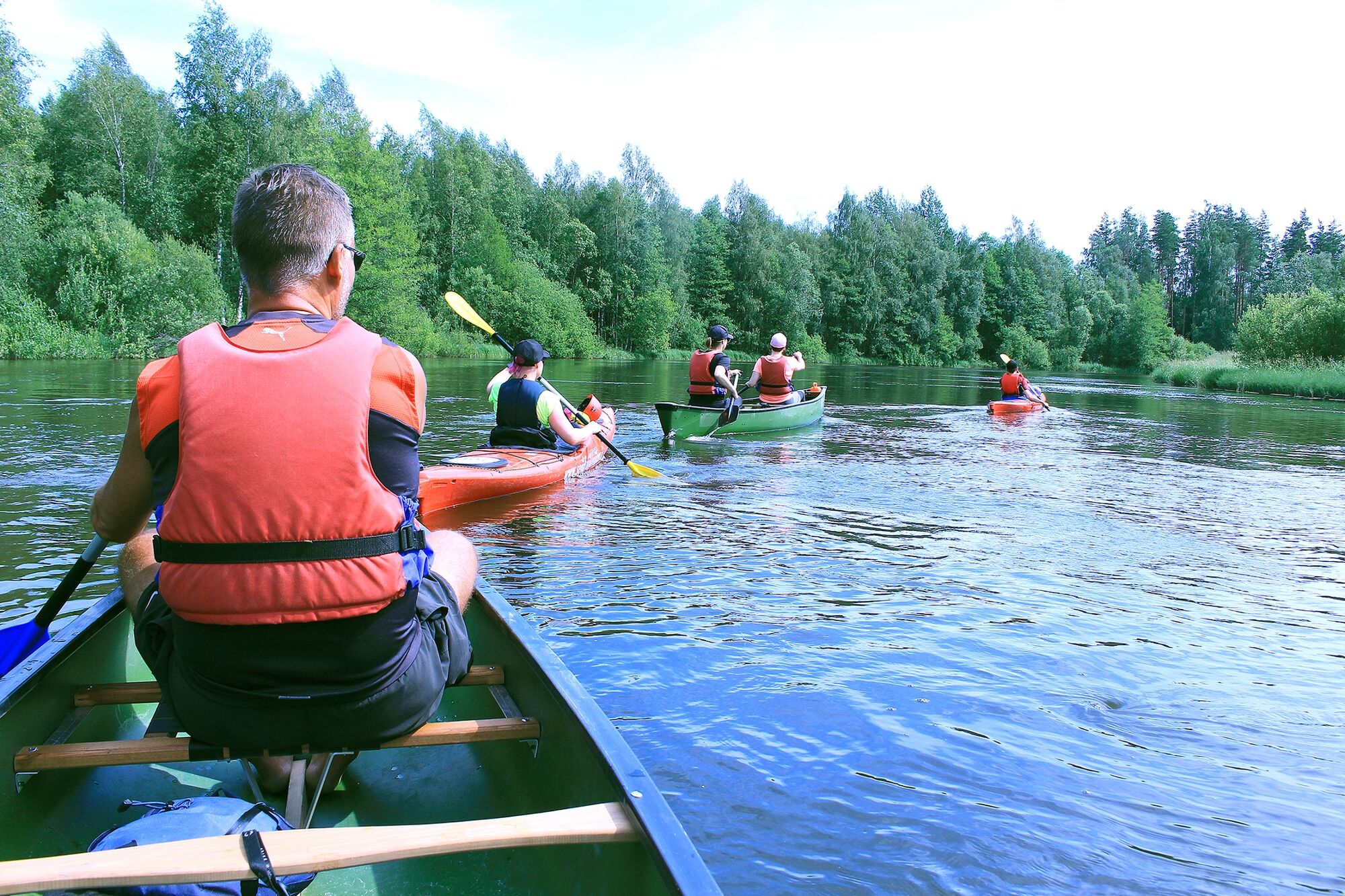
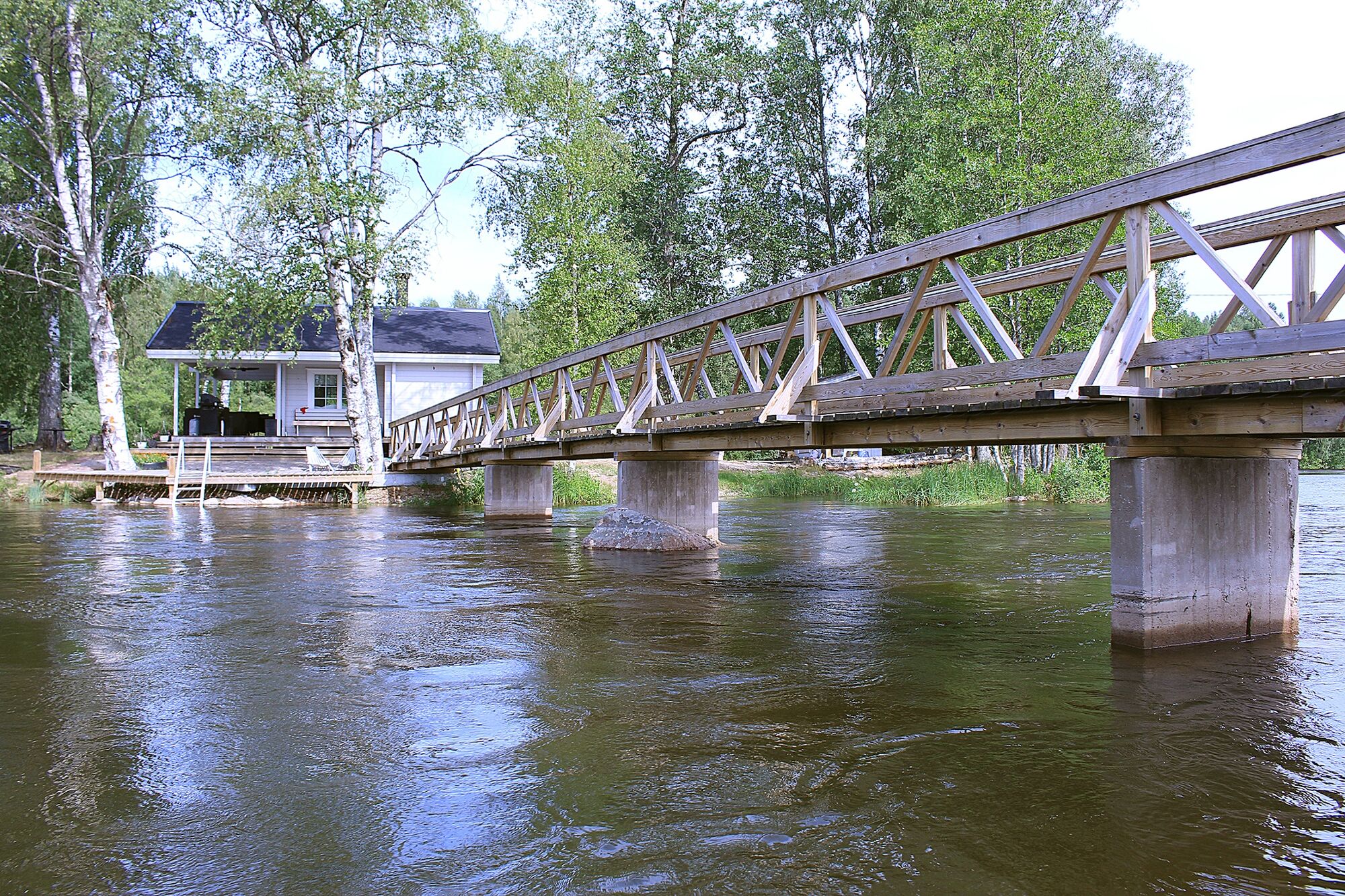
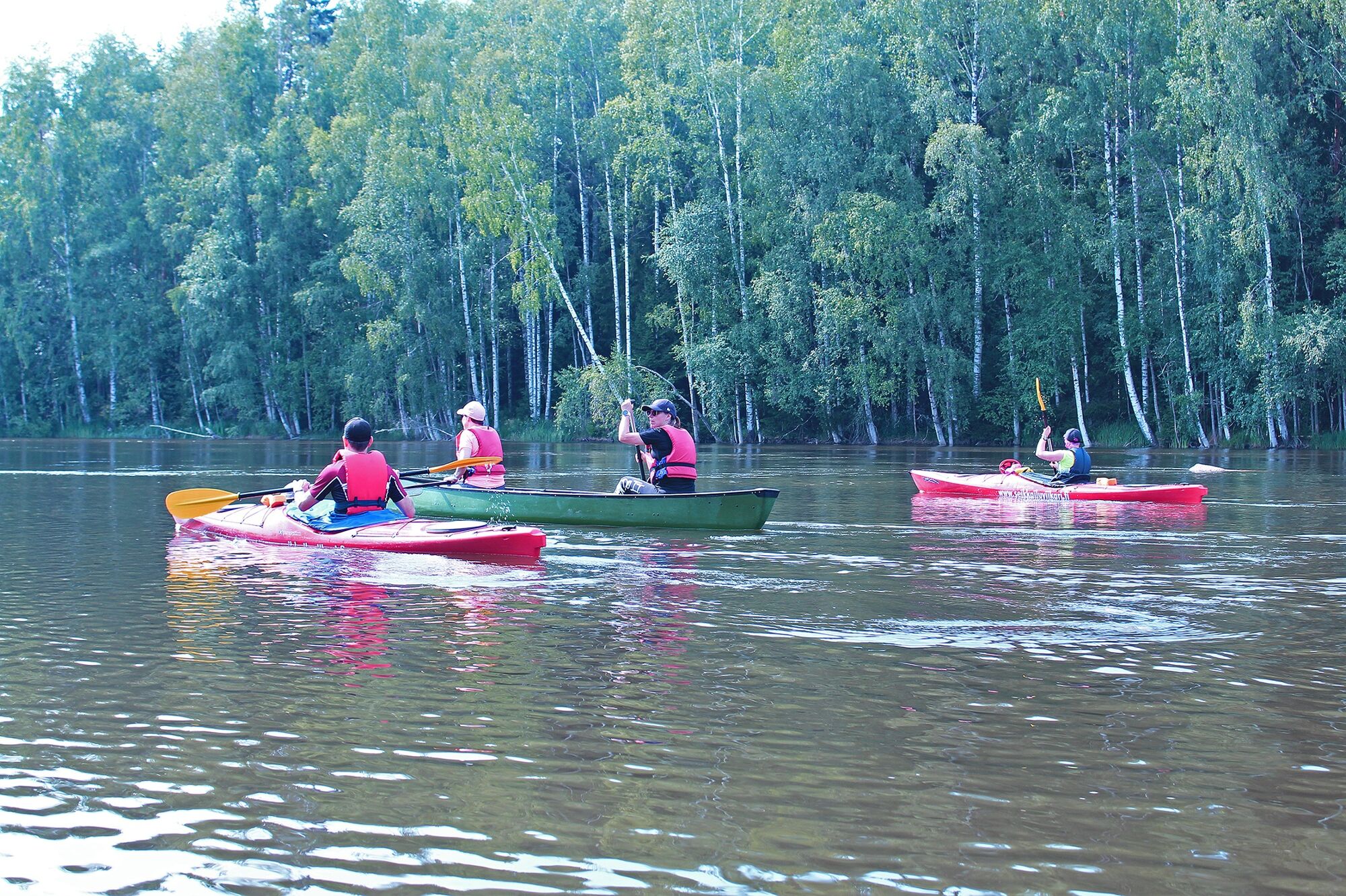
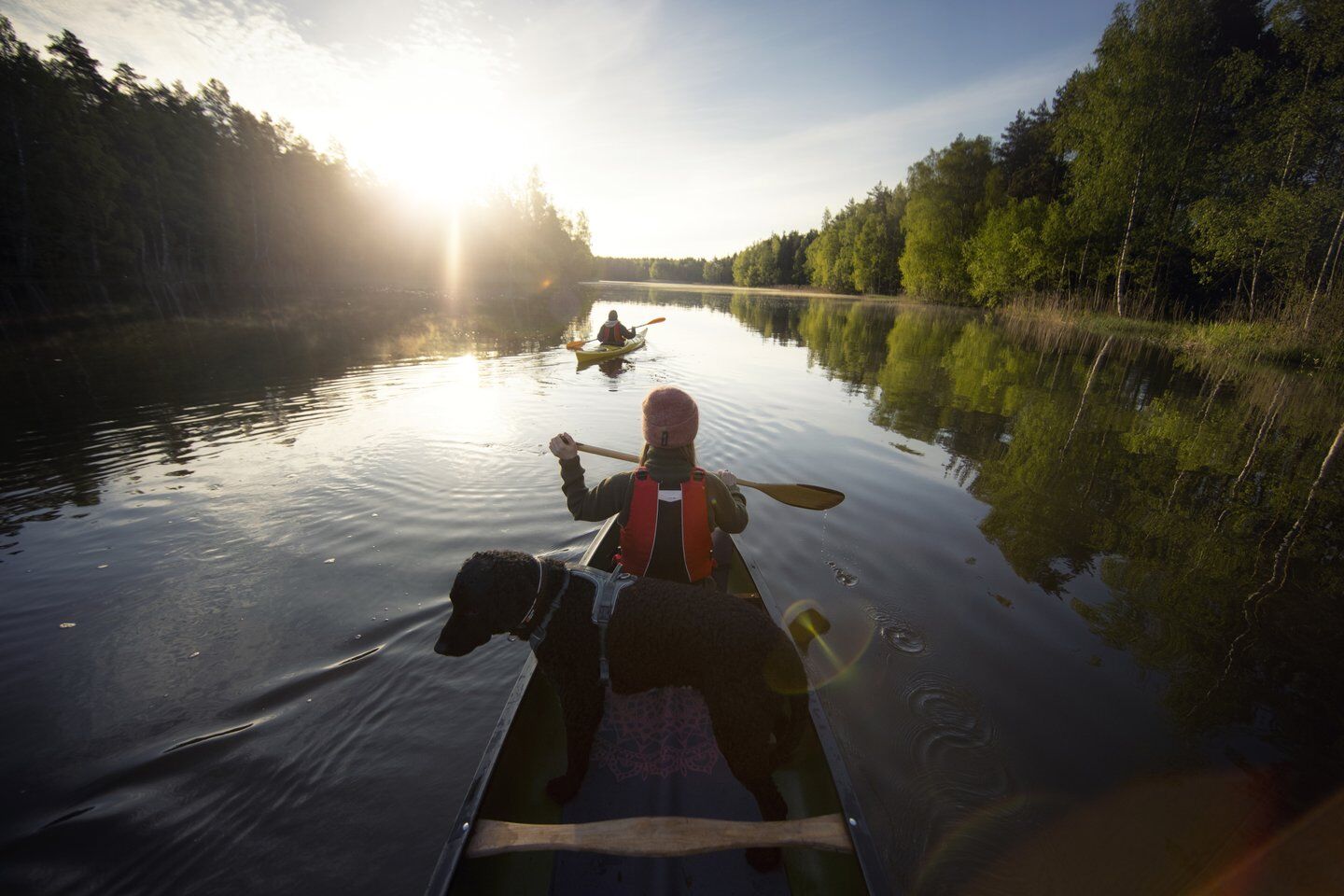
The Pyhtää branch canoeing route is the longest of the three different route options of the branches of Kymijoki River. The route starts from Inkeroinen and continues along the main branch of Kymijoki River, the Hirvikoski branch and finally the Pyhtää branch to the sea and the Keihässalmi fishing port. There are many things to see and to experience along the way, from open fields and complete wilderness around the river, to quiet stretches of water and roiling rapids. The journey is atmospheric and memorable. But why just prattle on about it. Check out the Pyhtää branch canoeing guide and head towards Kymijoki River.


Detailed Pyhtää branch canoeing route description
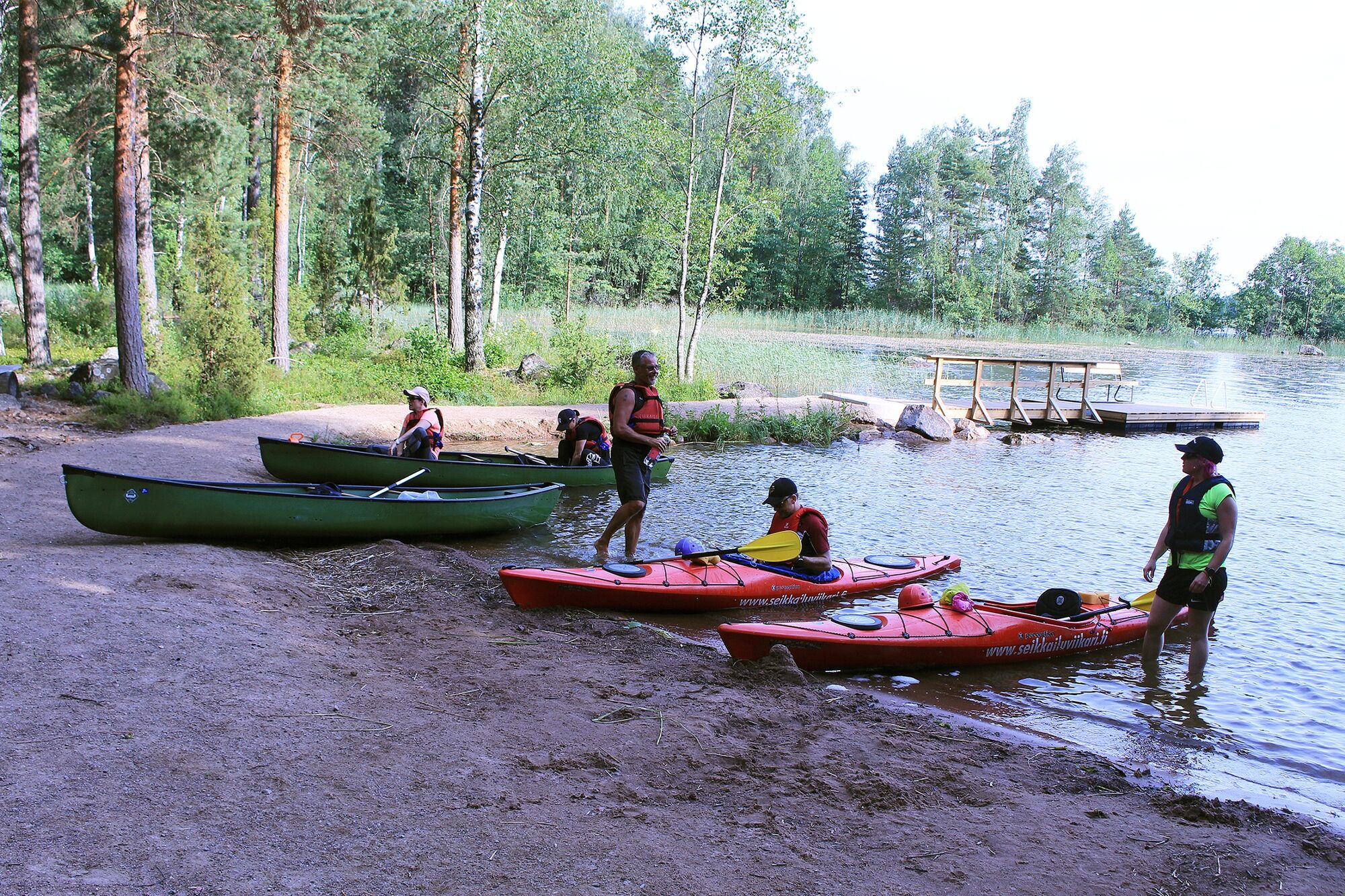
A kayak with bulkheads or other pontoons or a canoe with sufficient pontoons Paddle Canoeing vest, which must always be kept on Signalling whistle attached to the canoeing vest Spraydeck for a kayak Weather-appropriate canoeing equipment A change of clothes in a watertight bag Mobile phone in a watertight container in the pocket of the canoeing vest Emptying pump Compass and map First aid supplies Camping equipment (tent, sleeping back, fire starting supplies, etc.)
Other equipment to consider
Helmet for rapids Dry or wet suit as required White light for canoeing in the dark Spare paddle
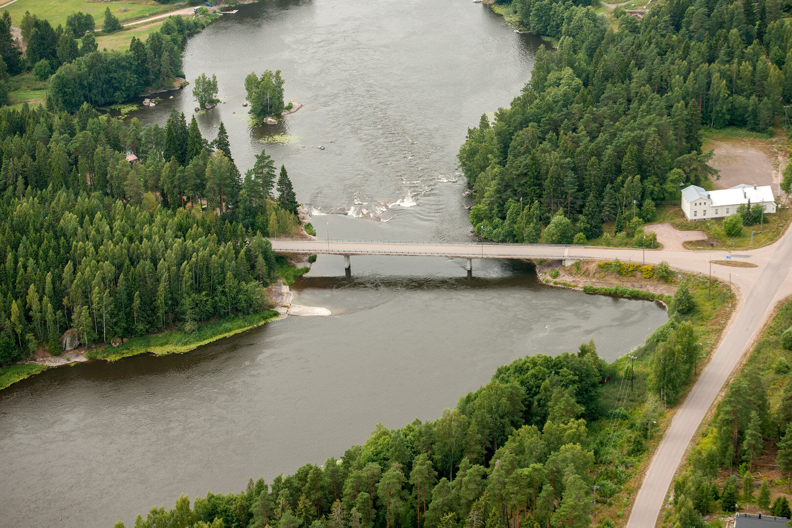
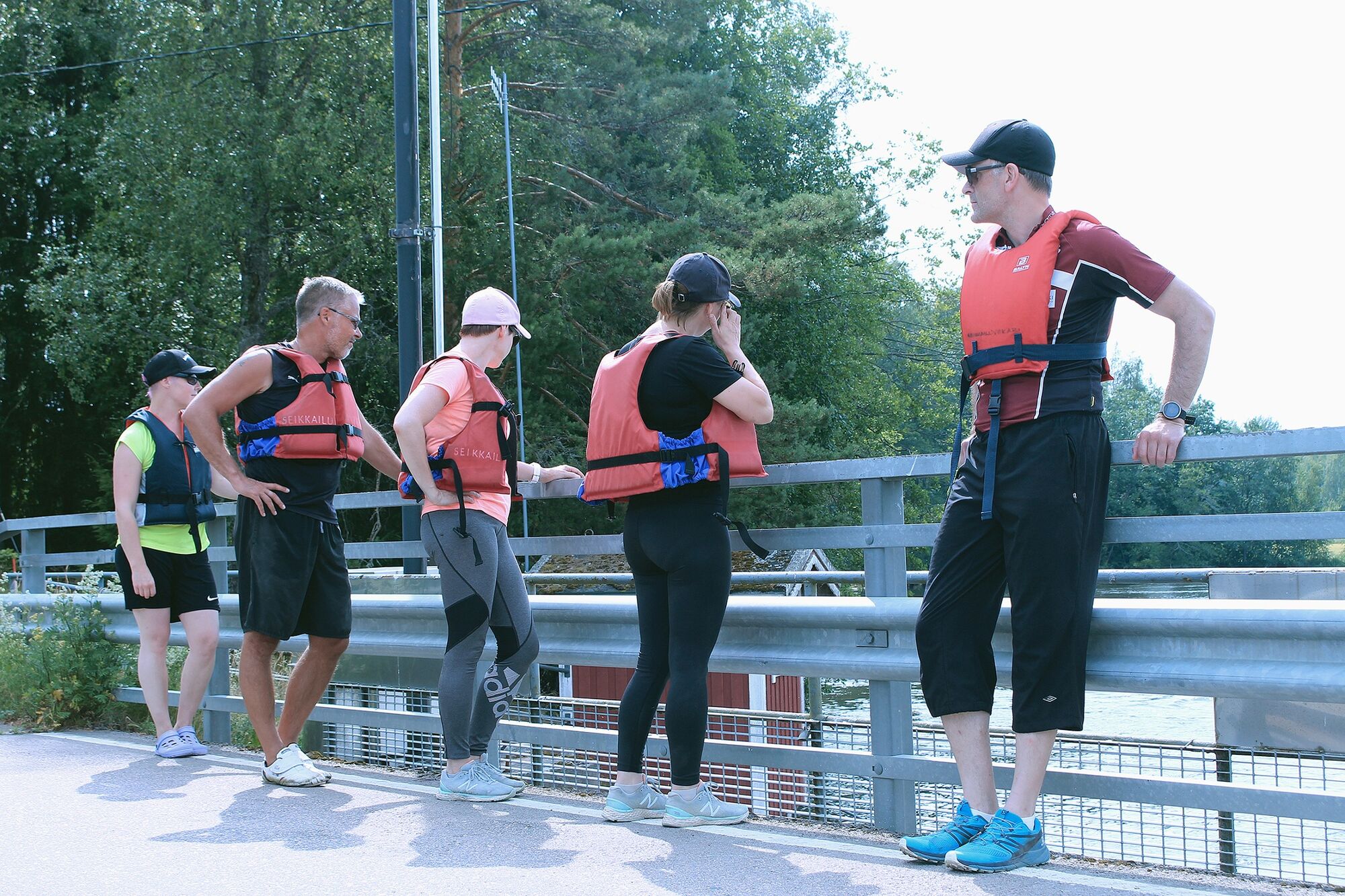
On the route, there are 2 rapid passages that require canoeing experience. The canoer must familiarise themself with the rapids in advance, as conditions may become increasingly challanging as the water levels change. The choice of the route and the decision to paddle through it is always made on own risk of the canoer. It should be noted, the the paddle routes drawn in the route guide are always RECOMMENDATIONS, and should never be considered as absolute truths. A sole canoer must assess each situation on occation and make the decision whether to paddle or not based on their own observations.
General instructions
Do not go on a canoeing trip alone or without telling anyone Make sure you know how to read the map and map symbols Practice survival techniques, at least couples survival skills Always keep your mobile phone in a watertight bag in your canoeing vest pocket Save the emergency number as a speed dial entry Make sure that you have an up-to-date weather forecast Make sure that you have appropriate and sufficient equipment Do not canoe under the influence of alcohol or other intoxicantsWeather and canoeing
Prepare yourself for possible weather changes. Storm, fog, bad visibility, darkness or sudden heat can suddenly surprise you and make canoeing harder. If the weather gets worse, consider whether you could change your route to make it safer, whether it is worth continuing or whether you should turn back. Choose your route based on your skills and equipment. Pack all things than can get wet in watertight containers, covering particularly your sleeping bag. Use high-quality equipment and make sure that it is intact when you are starting your trip. Also ensure that you know how to use all the equipment. Take enough food and drink with you, at least for one extra day. Note that food spoils more quickly in hot weather.
In an emergency the general emergency number is 112. If you get lost, always find out your whereabouts before continuing your journey. If you are not entirely sure about your location, return to the previous location where you were sure about where you were. If you capsize, you should try to return to the canoe or go to the nearest shore. Change into dry clothes to avoid getting cold. If the situation is severe, call the general emergency number.
When approaching from Helsinki or Hamina on the motorway, take ramp 80 and continue north following this route
From Kotka and Kouvola, Inkeroinen can also be reached by local train. Timetables are available here
There is a large free parking area at the starting point.
A detailed canoeing guide can be found at this link Kymijoki River is also a well-known fishing destination. The main species caught in the river area are the rainbow trout and the pikeperch. Other commonly caught species include the pike, the perch and the asp. With some luck, you may even catch a trout or a salmon. Fishing in the river area between Inkeroinen and Lake Tammijärvi requires a licence for the Keski-Kymi special fishing area. A licence can be obtained here. A paid fisheries management fee is sufficient for fishing in the area between Lake Tammijärvi and the Keihässalmi fishing port.
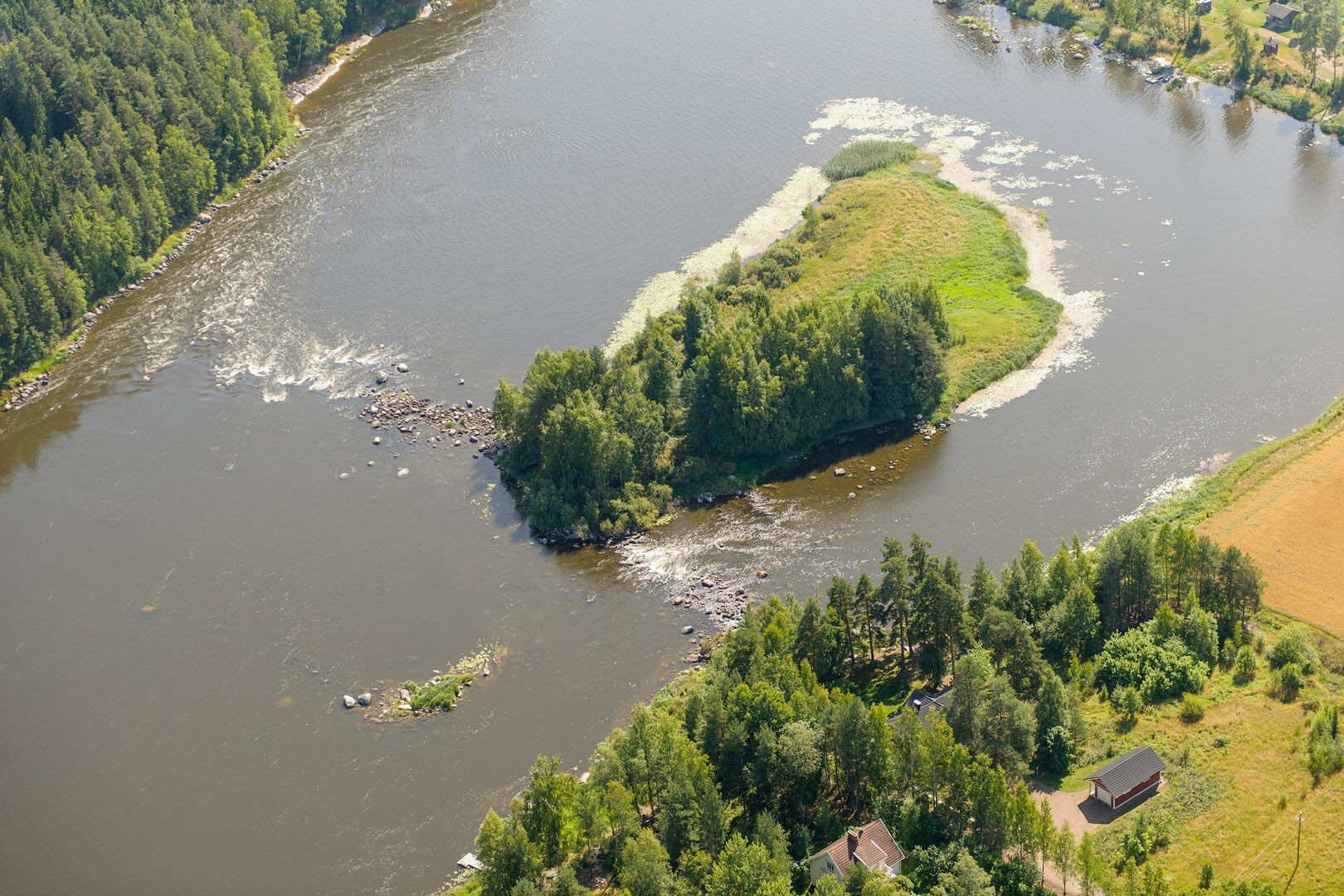
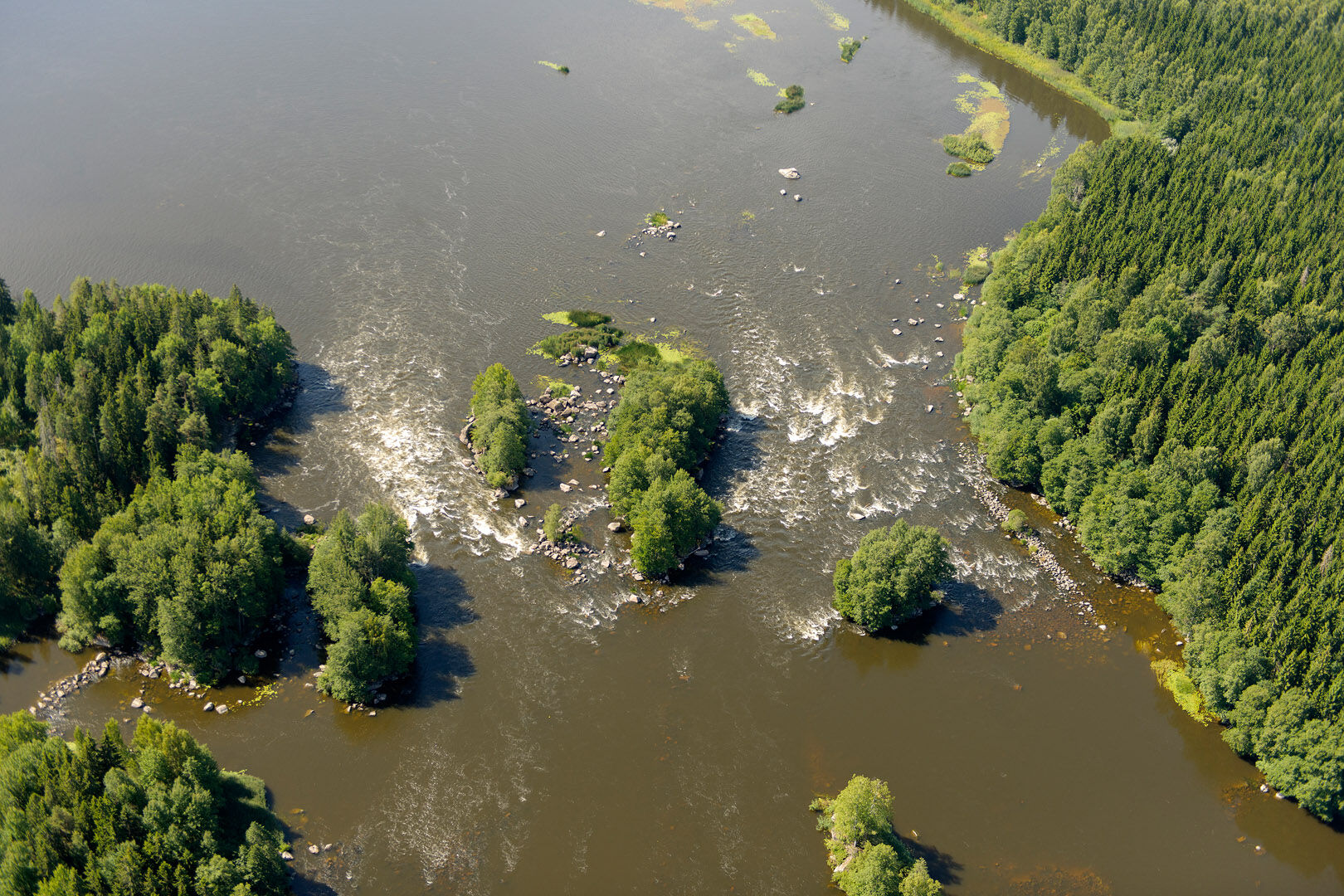
Next to the Kuovinkallio rest area located at the start of the Ahvionkoski rapids is a hillock offering a magnificent view of the rapids. The Ahvionkoski rapids cover an area of 35 hectares with 12 large islands. In this area, you can choose from a variety of canoeing route options while also exploring the islands, which have been left practically in their natural state. The two foaming rapids right at the bottom of the area are Martinkoski and Kotokoski.
Kymijoki River has a fairly abundant heron population. Grey herons can be spotted on almost every trip, while the Eurasian bittern is rarely seen but often heard. Its call resembles the sound of blowing into an empty bottle. In addition to herons, large hawks often soar above the river.
Towards the end of the route is the Stockfors ironworks area. This unique place is worth visiting during the trip. In the summer, this rugged industrial area hosts the impressive Stockfors Art Festival. More information on Instagram
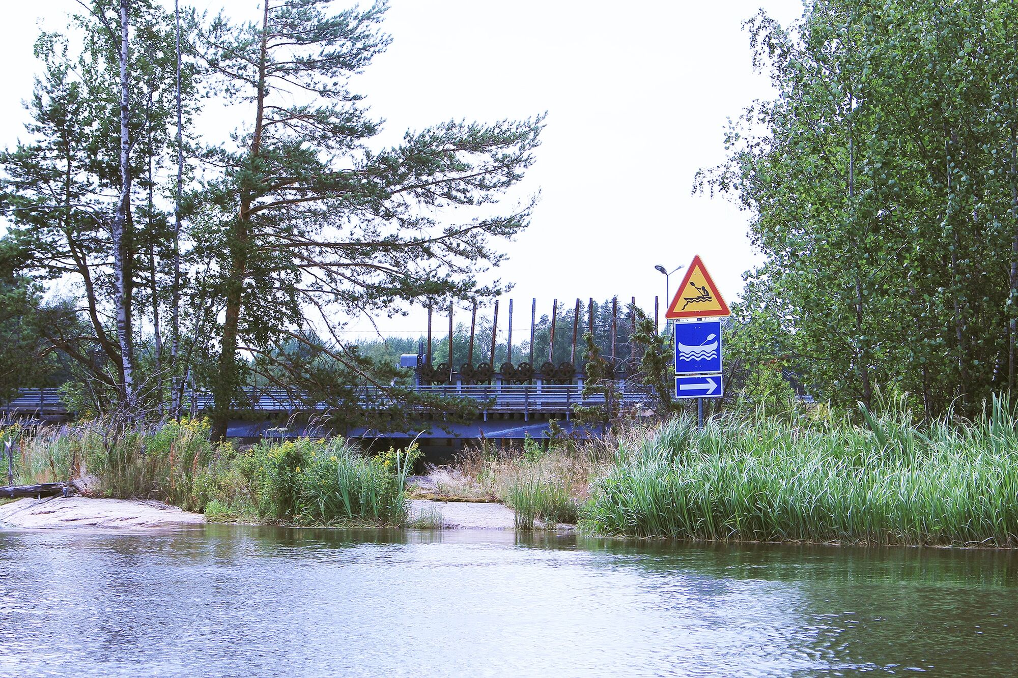
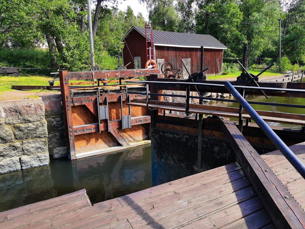
Just before arriving at the sea, you will come across the only manually operated lock in Finland. This lock was originally meant to support the transports of the Stockfors ironworks, but is now used by pleasure boaters. Lock operating instructions
Parcours populaires à proximité
-
Route cycliste des deux villes sur la rivière Kymijoki
difficilePiste cyclable longue distance 218,9 km -
Tuurilla ja pyörällä, parcours culturel
facileFaire du vélo 88,3 km -
Excursion de kayak Inkeroinen - Kotka
moyenKayak / Canoë 93,7 km -
Visite de Kirmusaari, Loviisa
facileKayak / Canoë 7,61 km -
Parcours de Kukuljärvi et grotte de Branni, Loviisa
moyenRandonnée 9,30 km -
Pernoo branch of the Kymijoki River, Kotka
moyenKayak / Canoë 33,6 km -
Parcours paysager au bord de la Kymijoki
moyenFaire du vélo 73,3 km -
Parcours du patrimoine industriel de Kymenlaakso
facileMoto 153,3 km -
Parcours de kayak et de paddle sur l’île de Kaarlinsaari (Strömfors, Loviisa)
facileKayak / Canoë 8,68 km -
Randonnée kayak Inkeroinen - Loviisa
moyenKayak / Canoë 95,0 km
Randonnée et suivi


Ne manquez pas les offres et l'inspiration pour vos prochaines vacances
Votre adresse électronique a été ajouté à la liste de diffusion.





