


St Olav Ostrobothnia (N) 1/11, Kokkola-Luoto
The daily stage is relatively long but easy to walk. It consists of asphalt road, cycle path, gravel road and nature trail.
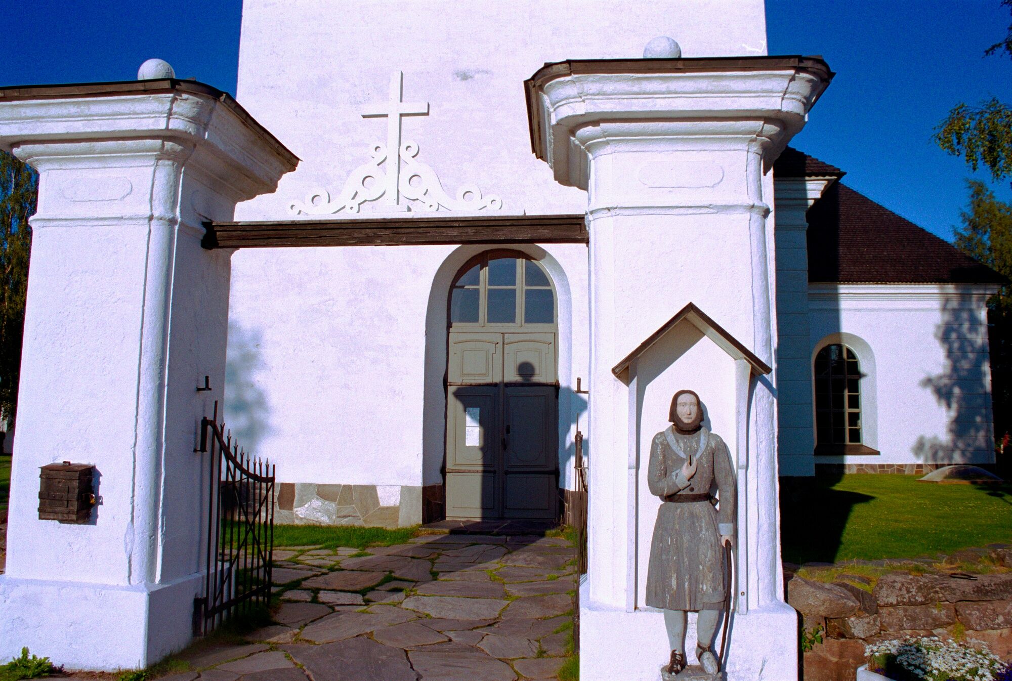
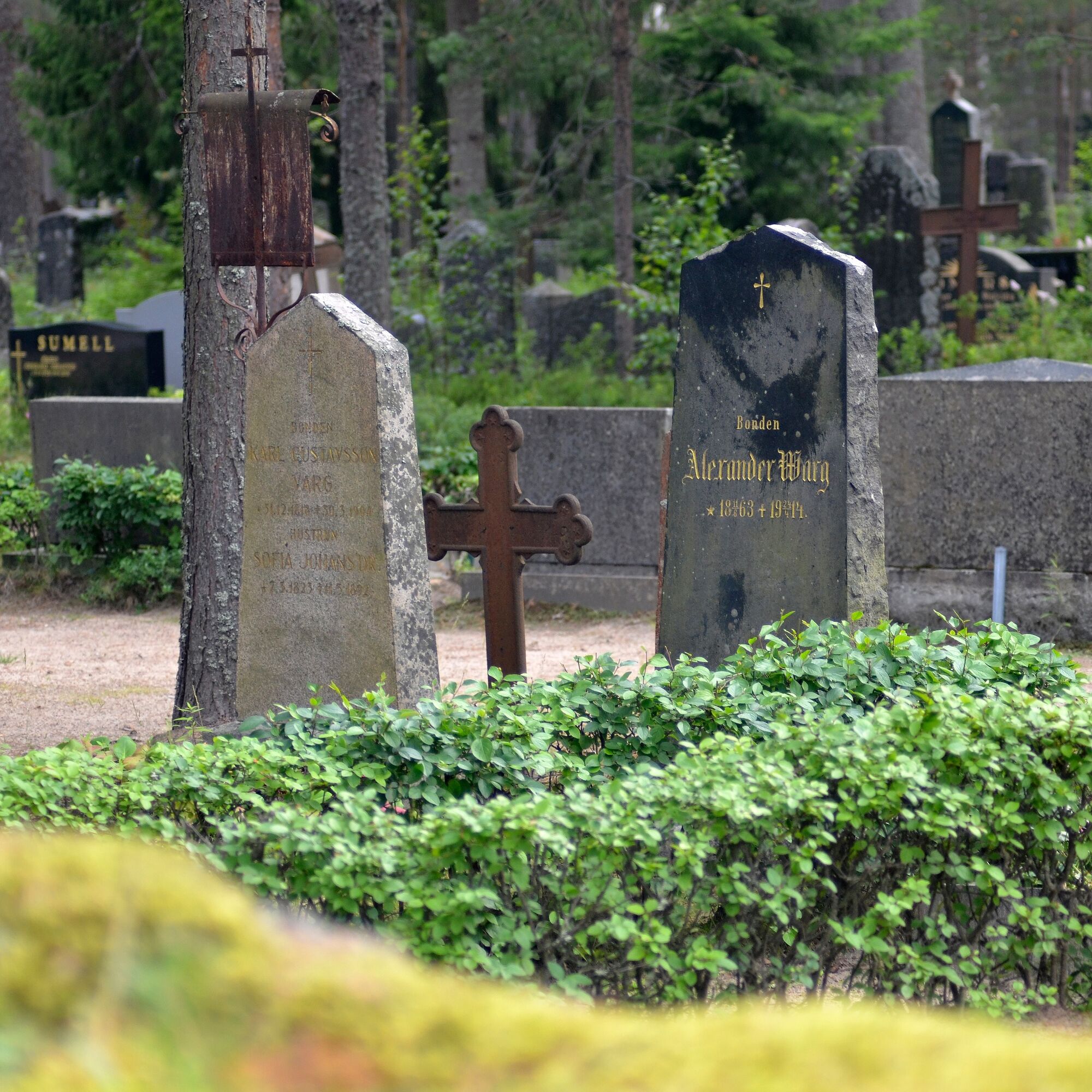
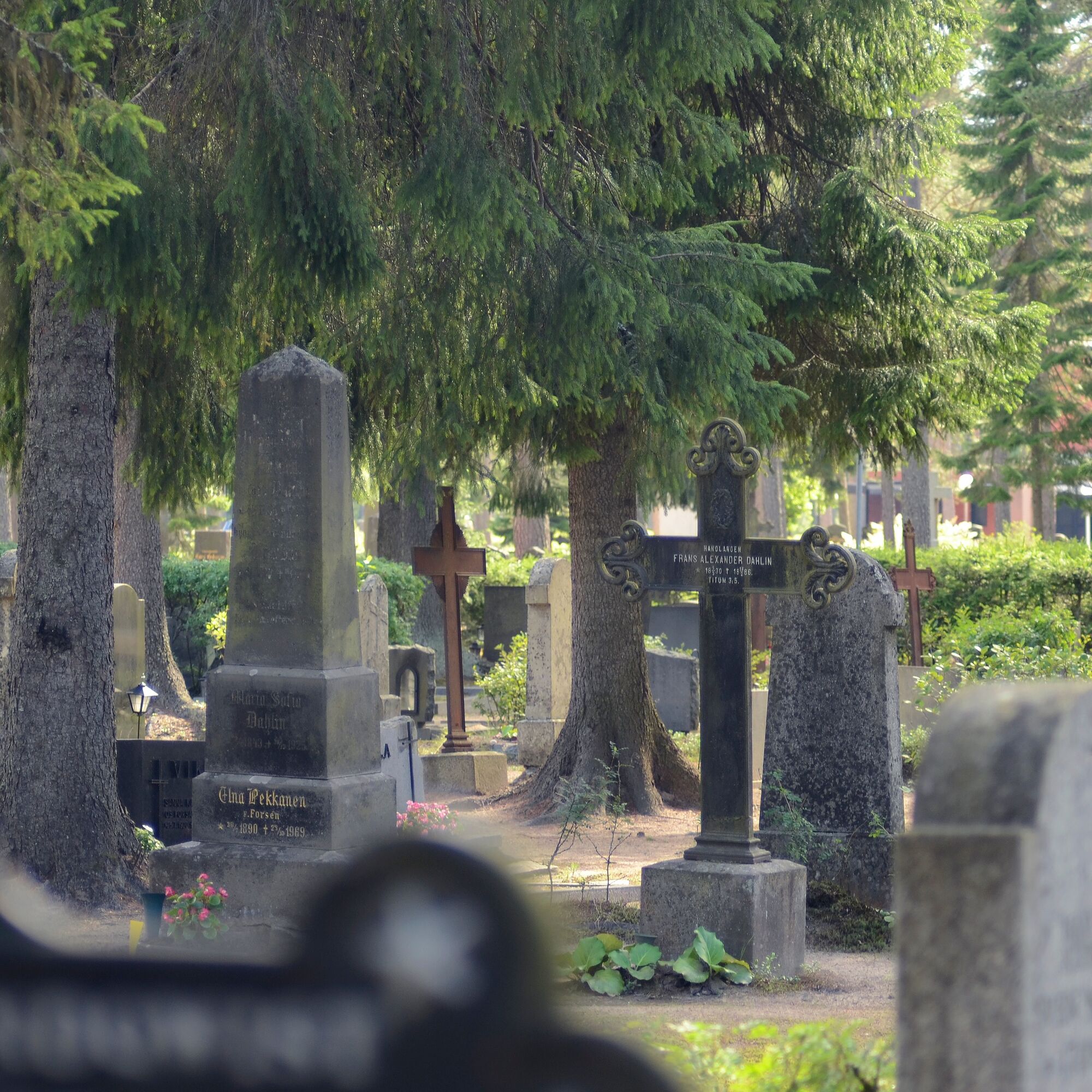
Start at Kokkola parish church. On the way out of the city, you will pass residential...
The daily stage is relatively long but easy to walk. It consists of asphalt road, cycle path, gravel road and nature trail.
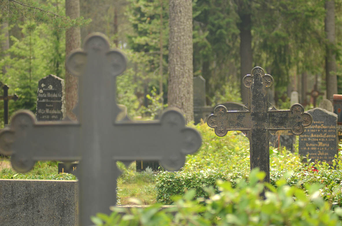
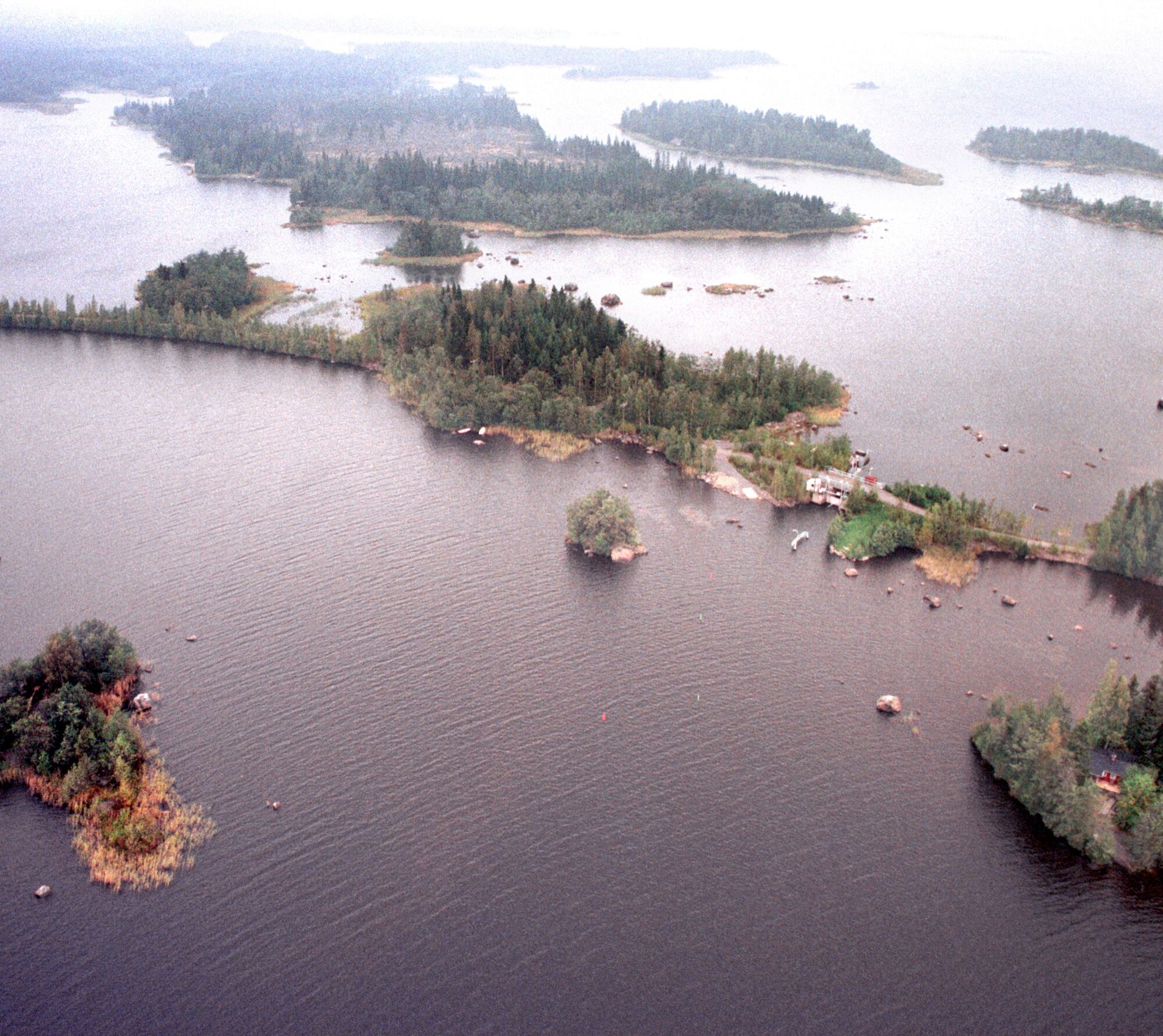
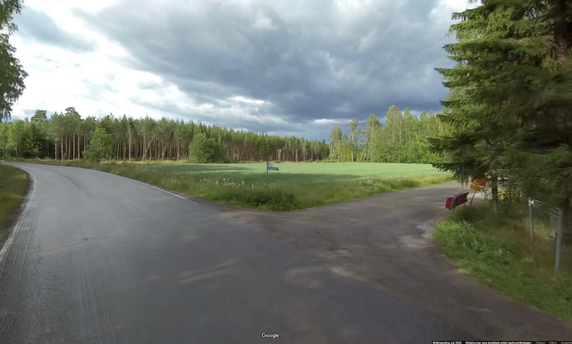
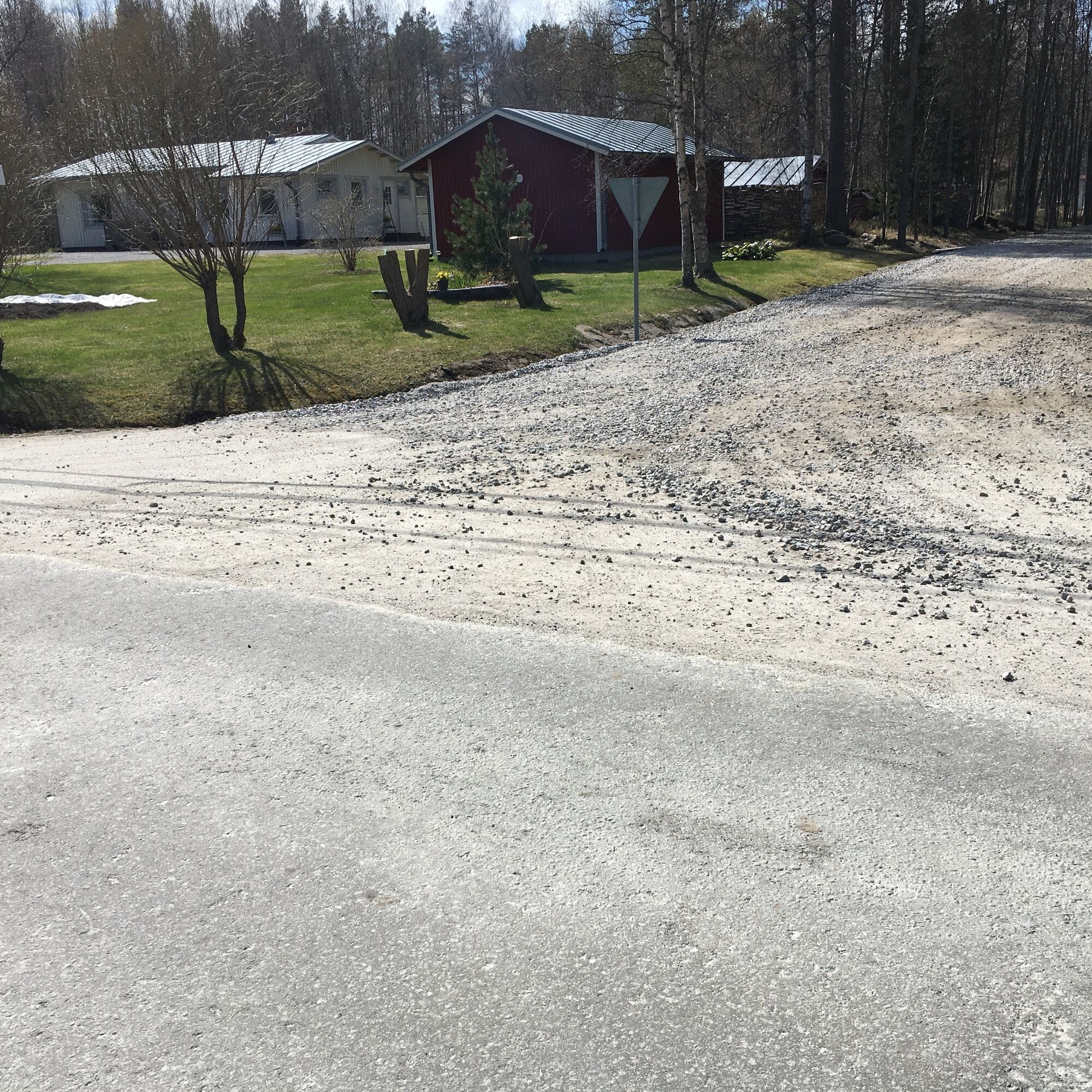
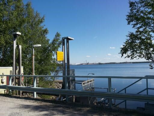
Start at Kokkola parish church. On the way out of the city, you will pass residential areas, cemeteries and the village of Kvikant. There is a beach at Palmahovi (short detour). Small gravel roads then lead over several islets, with locks between the sea and the walled area.
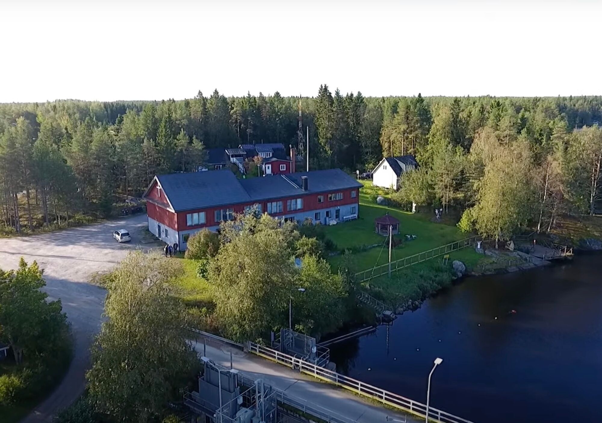
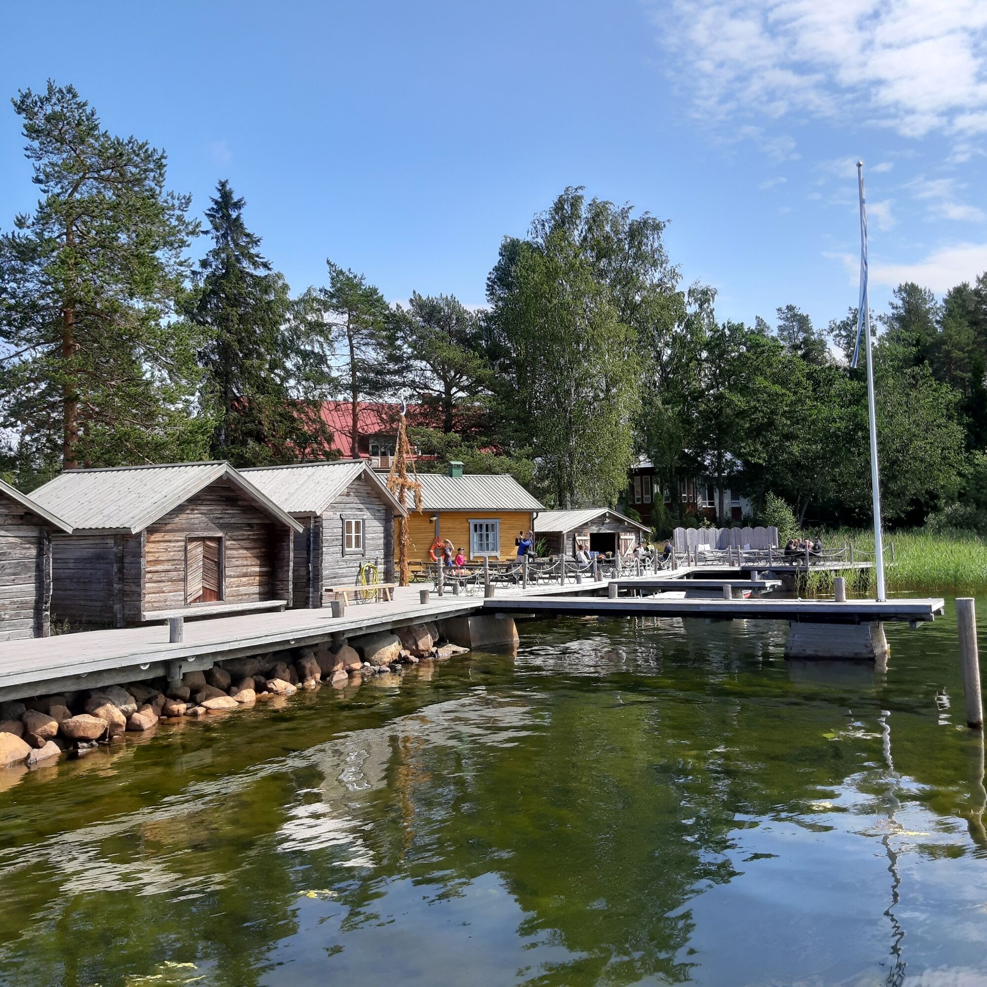
A natural resting place about halfway is Öja village centre and Café Bryggan. Here you will find a café, lunch restaurant (groups on request) and a beach.
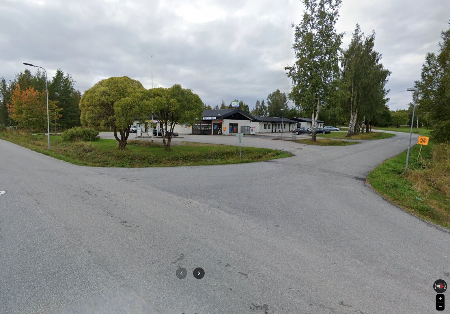
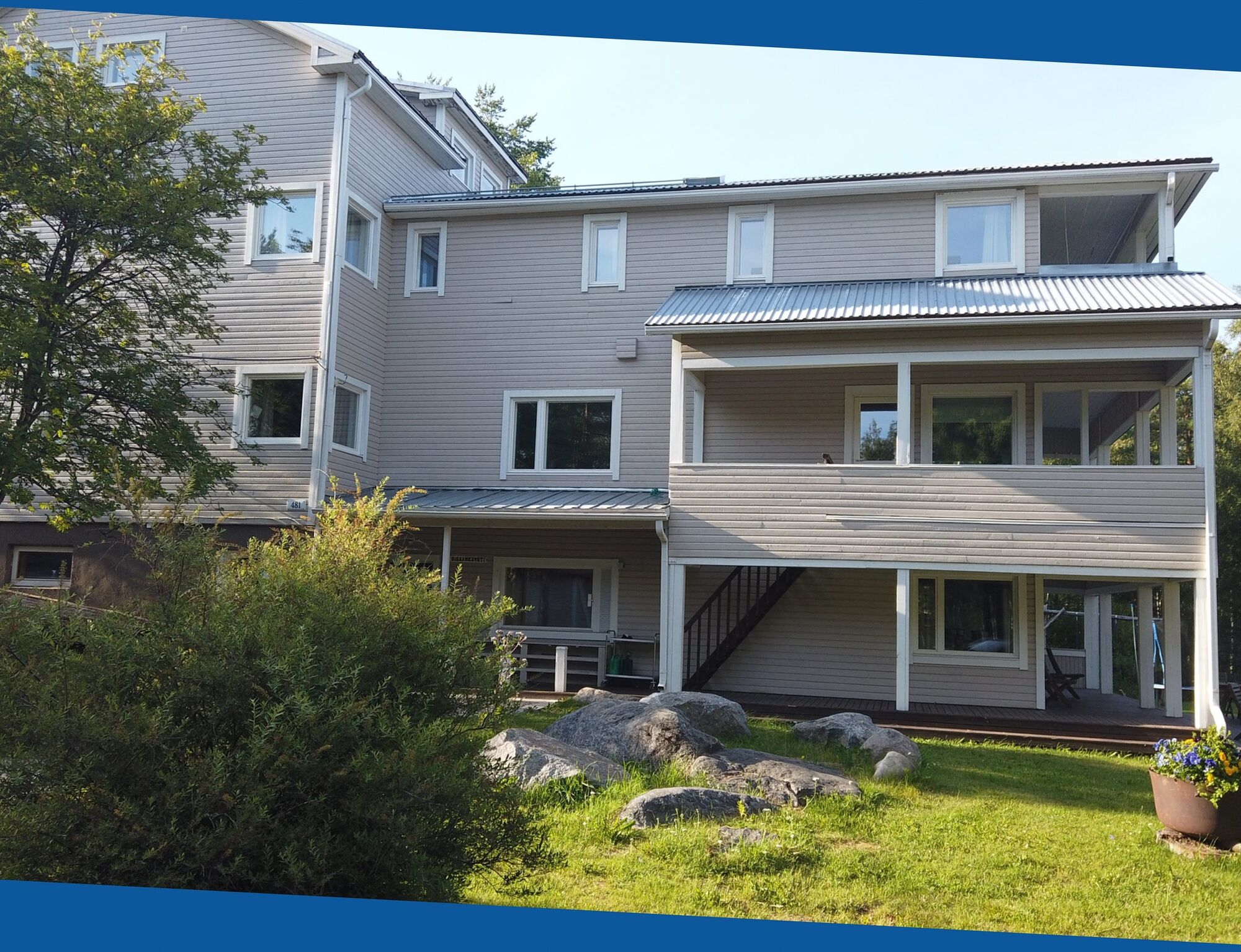
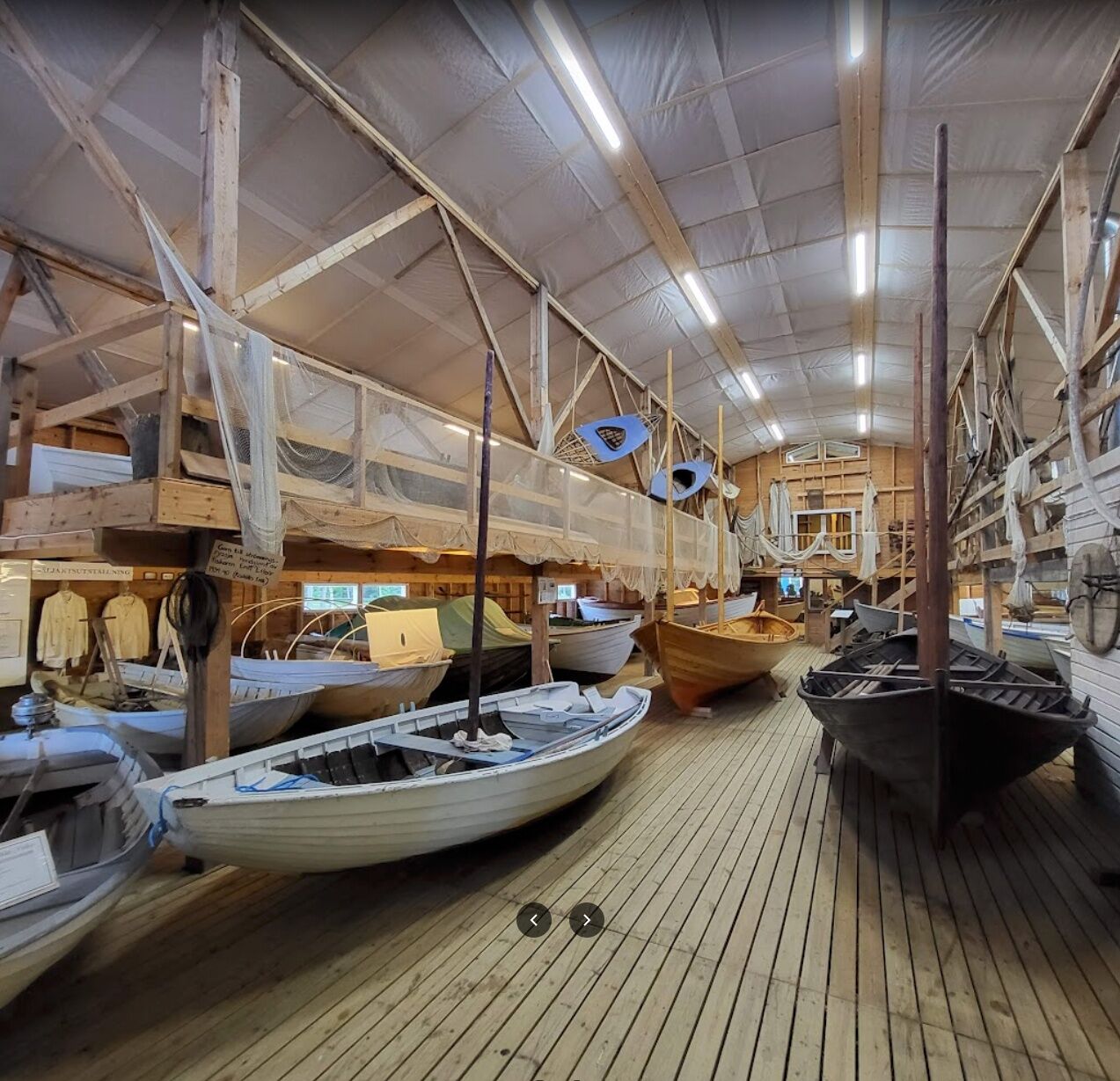
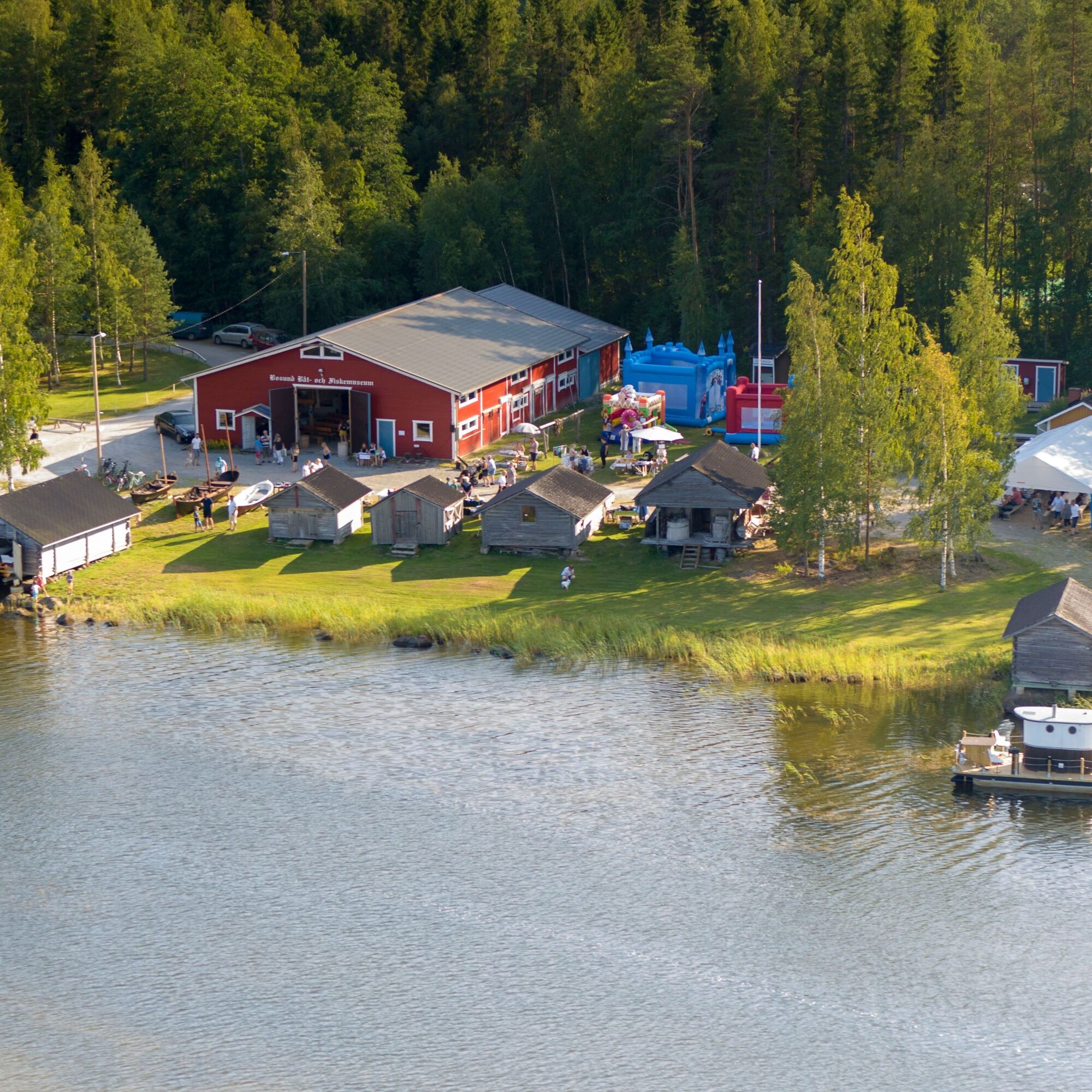
After Öja, the trail continues through Bosund and Eugmo villages in Larsmo. About 1.5 km before the end of the day's stage, you pass Pias livs (grocery store). There are two possibilities for overnight stays in Eugmo, at Lähetyskoti and Inremissionshemmet (on either side of Norra Larsmovägen).
INFO ÖJA, LARSMO
Öja village centre and Café Bryggan: tel. 050 3377 522
Pias livs: tel. 06 7282 121
Lähetyskoti: tel. 040 056 2088
Inremissionshemmet: tel. 044 7766 080


Parcours populaires à proximité
-
St Olav Ostrobothnia (N) 2/11, Larsmo-Jakobstad
Chemin de pèlerinage 23,0 km -
Kronoby
moyenVTT 22,6 km -
Kokkola - Ulkometsä - Vikå - Rastimaja
moyenSki de randonnée 16,8 km -
Lohtaja - Kaarlelan kirkko - Holm bönehus - Kokkola
Chemin thématique 122,9 km -
Kokkola
Randonnées d'hiver 3,47 km -
Kokkola - Neristan - Räihä
facileFaire du vélo 11,6 km -
Öja - Åkö
moyenRandonnée 12,2 km -
Öja
moyenRandonnée 21,8 km -
Kokkola
facileRandonnée 4,51 km -
Kokkola - Mäntykangas - Neristan
facileChemin thématique 3,06 km

Randonnée et suivi


Ne manquez pas les offres et l'inspiration pour vos prochaines vacances
Votre adresse électronique a été ajouté à la liste de diffusion.