



"Falkertweg"

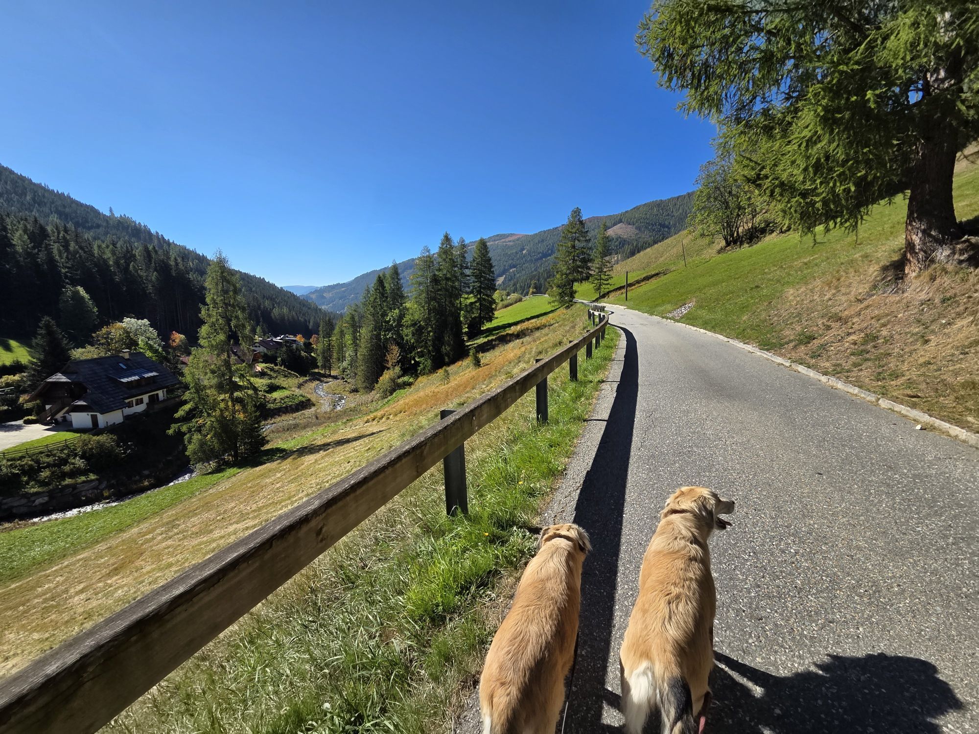
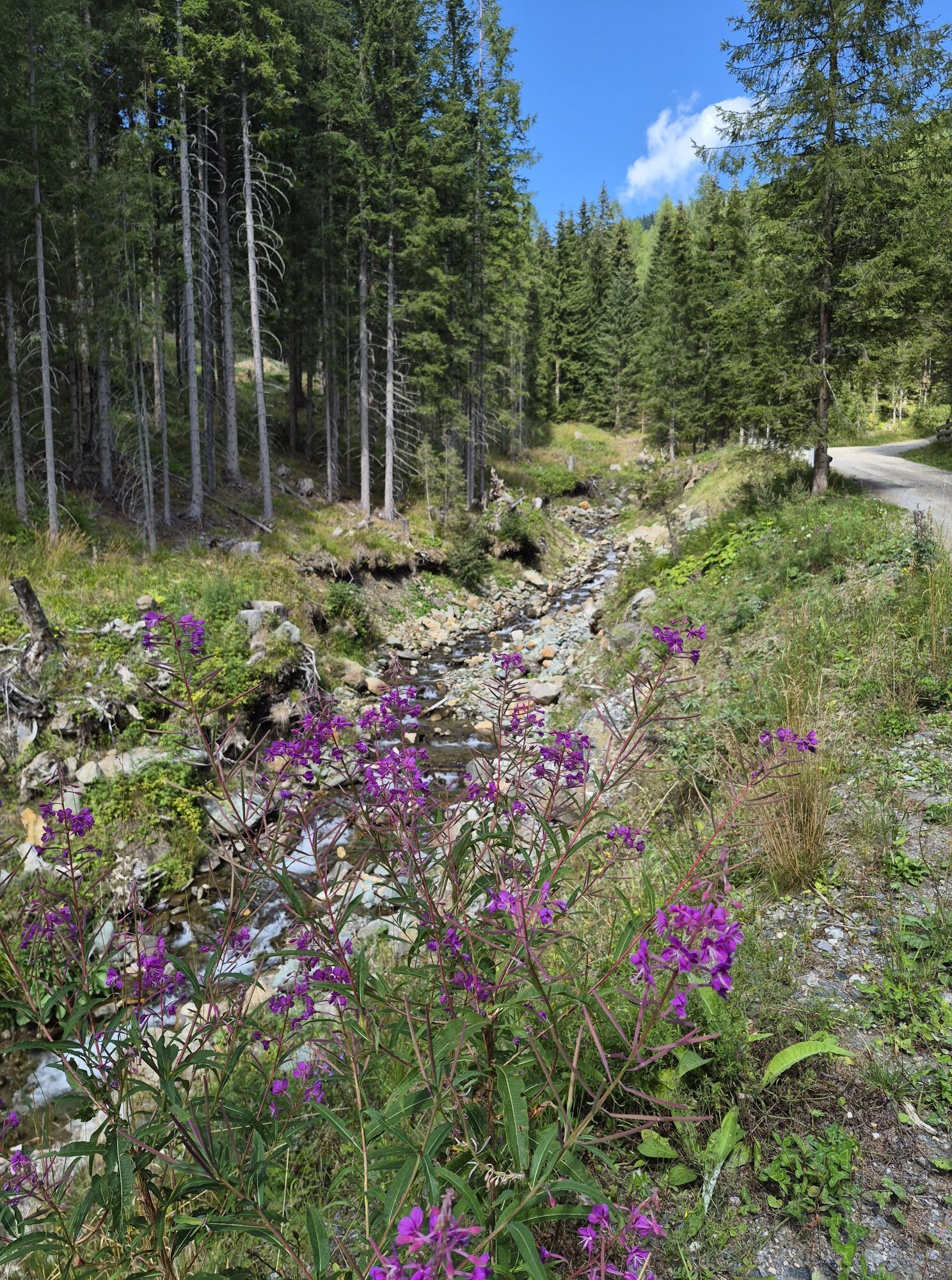
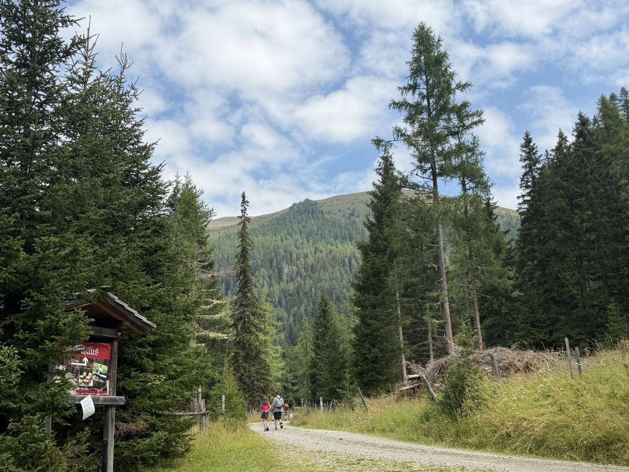
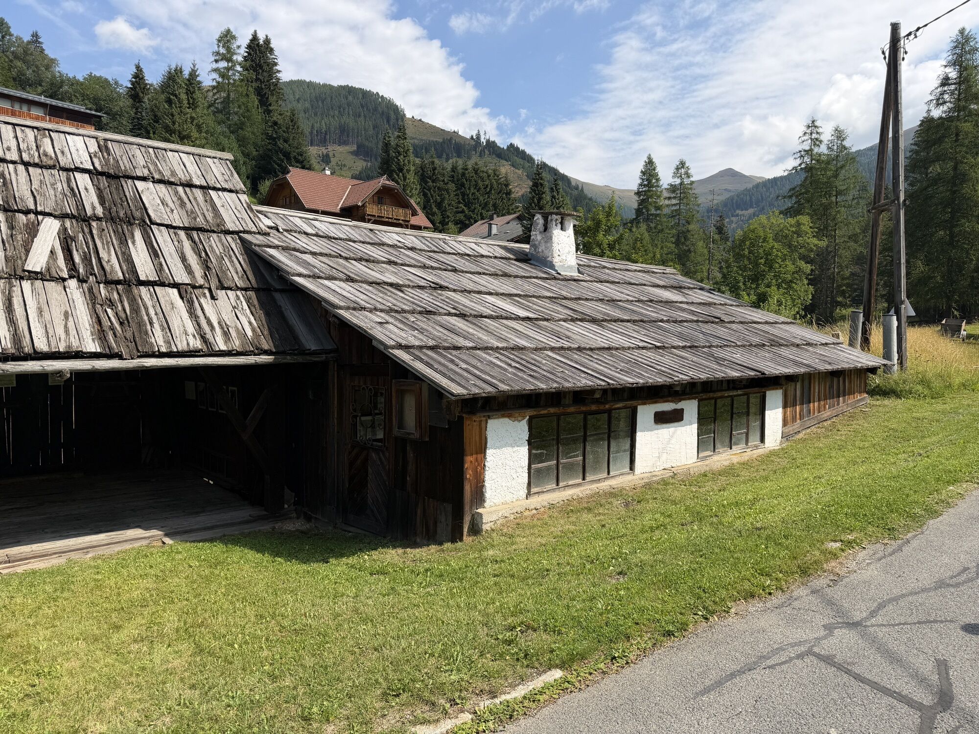
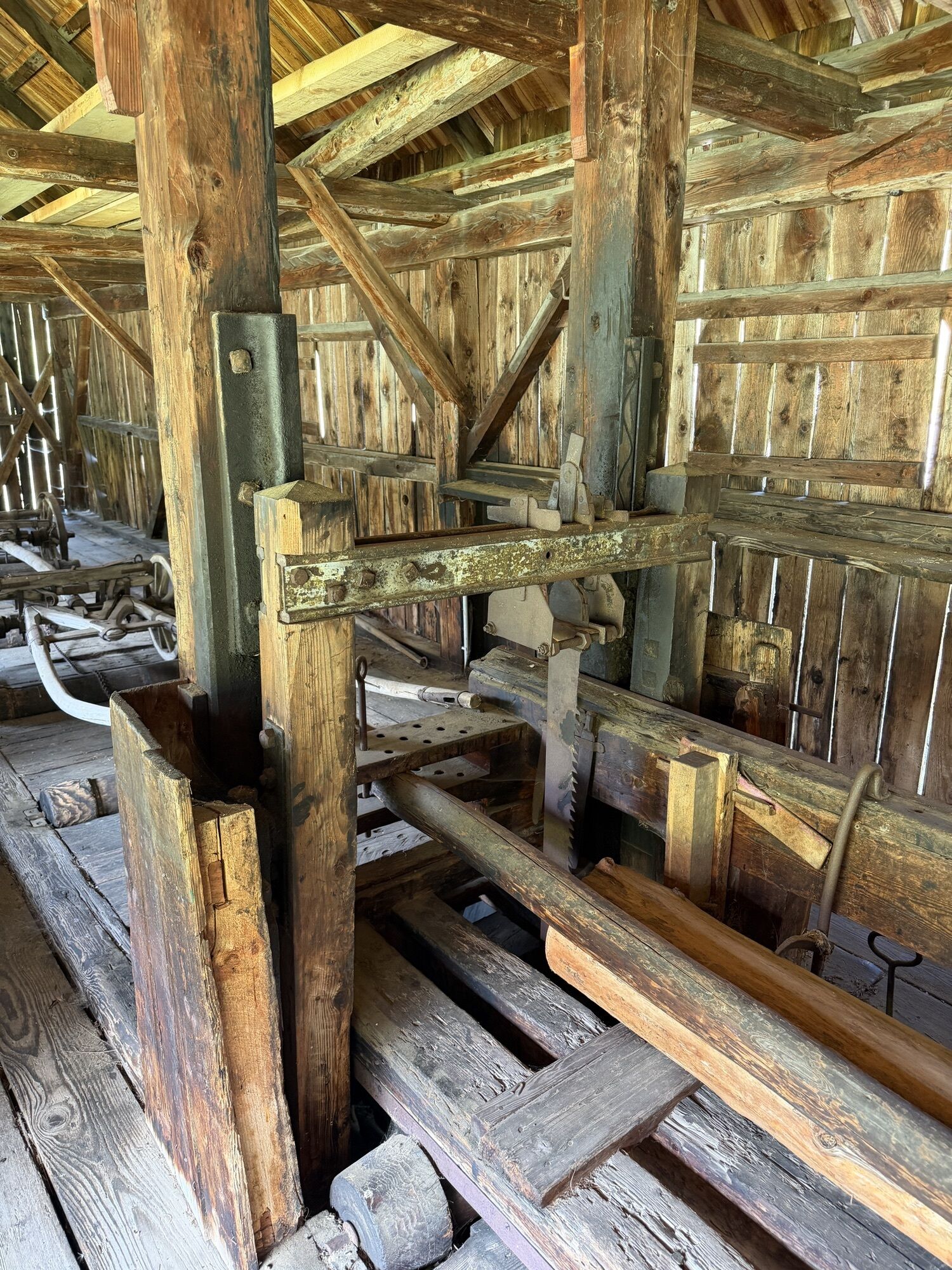
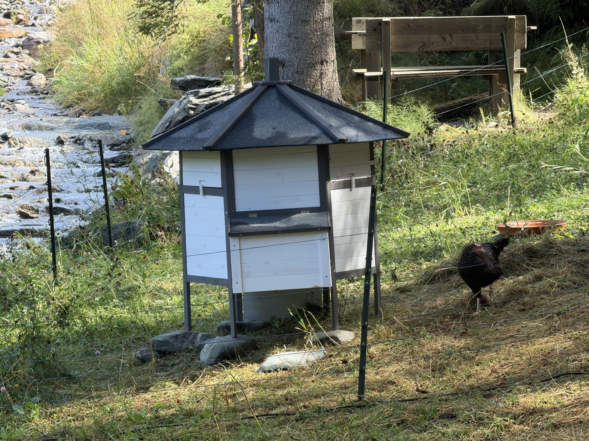
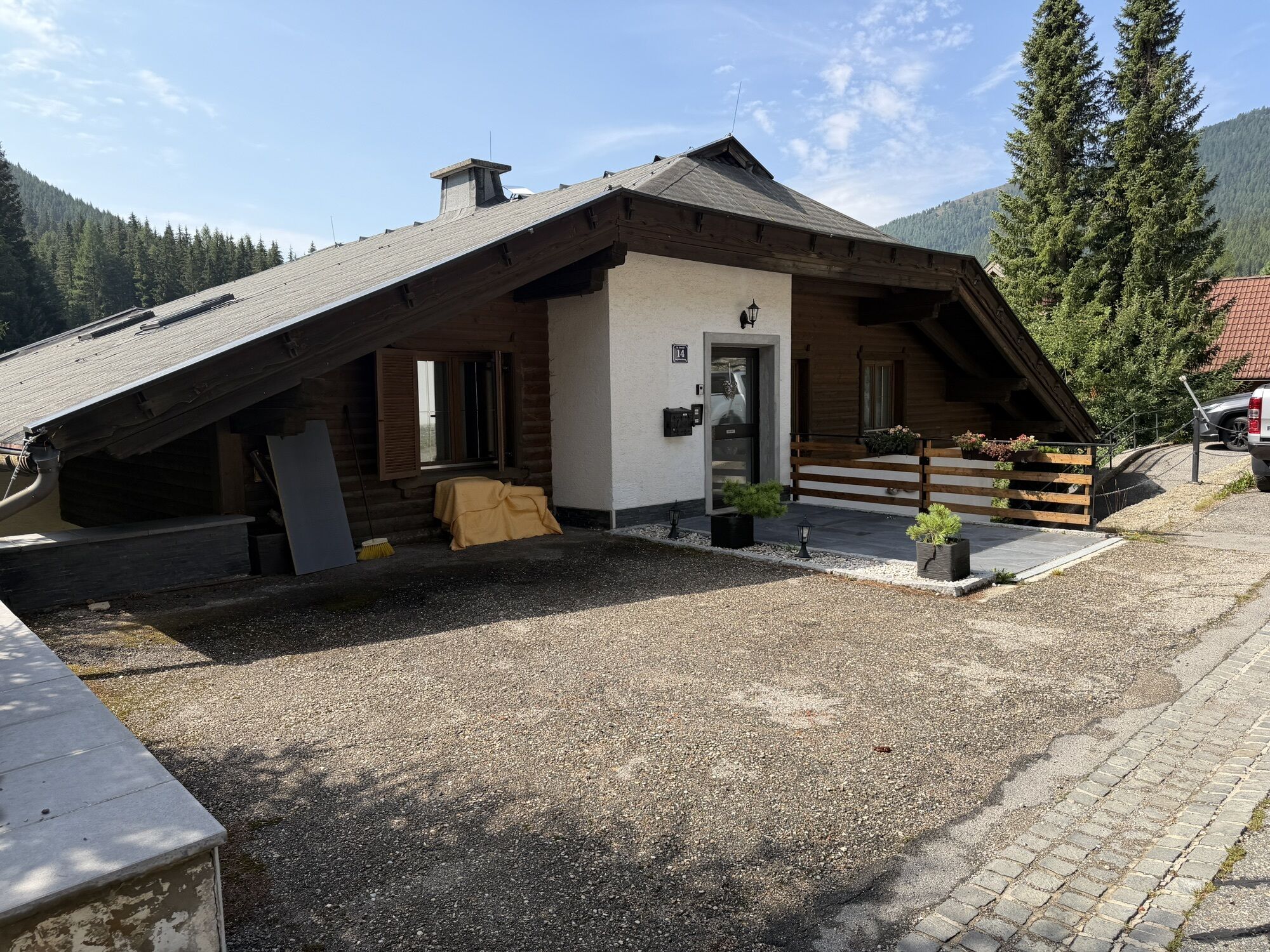
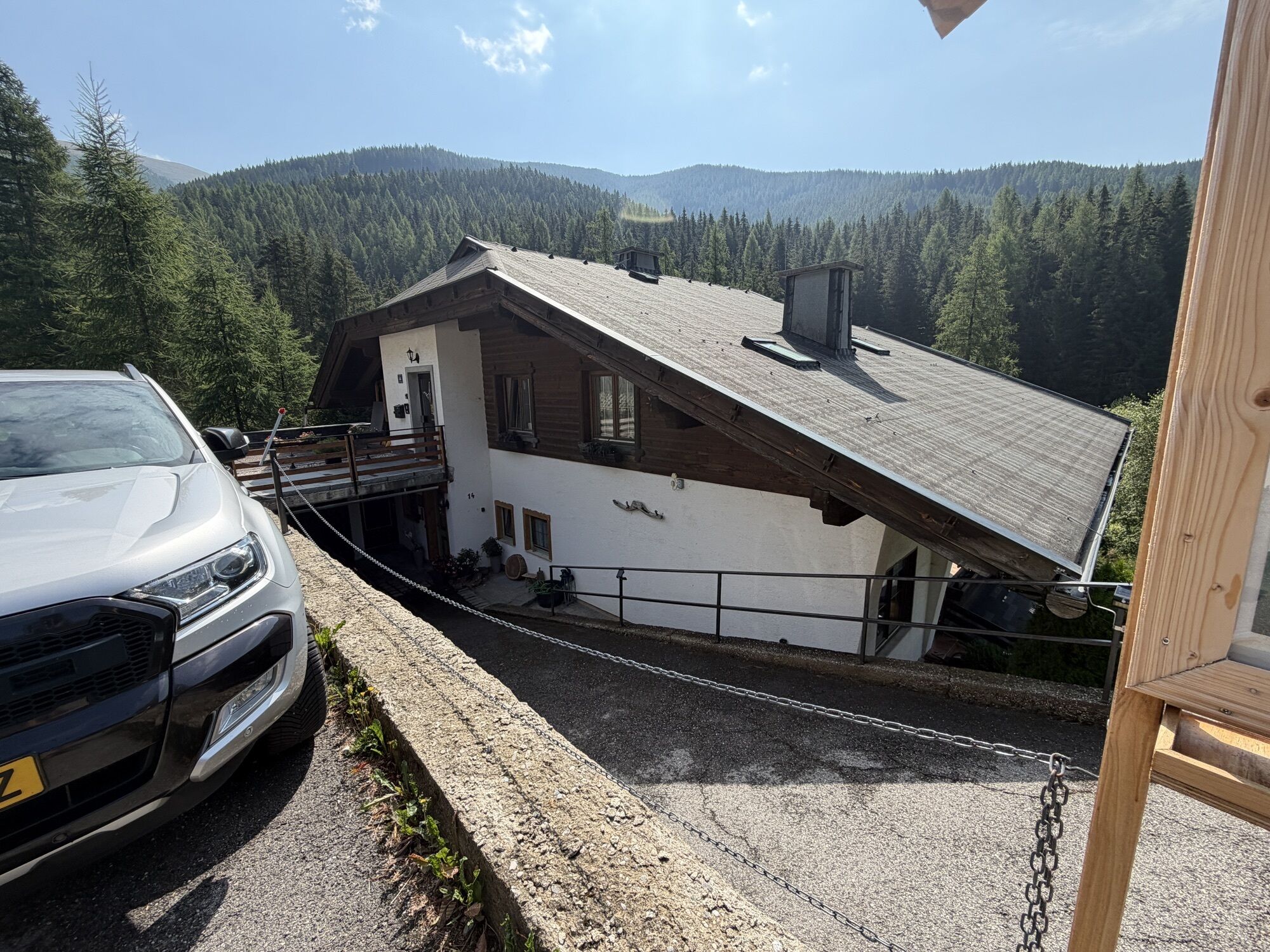
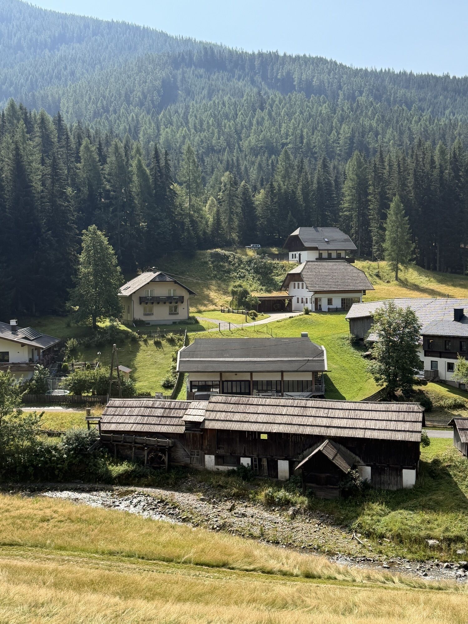
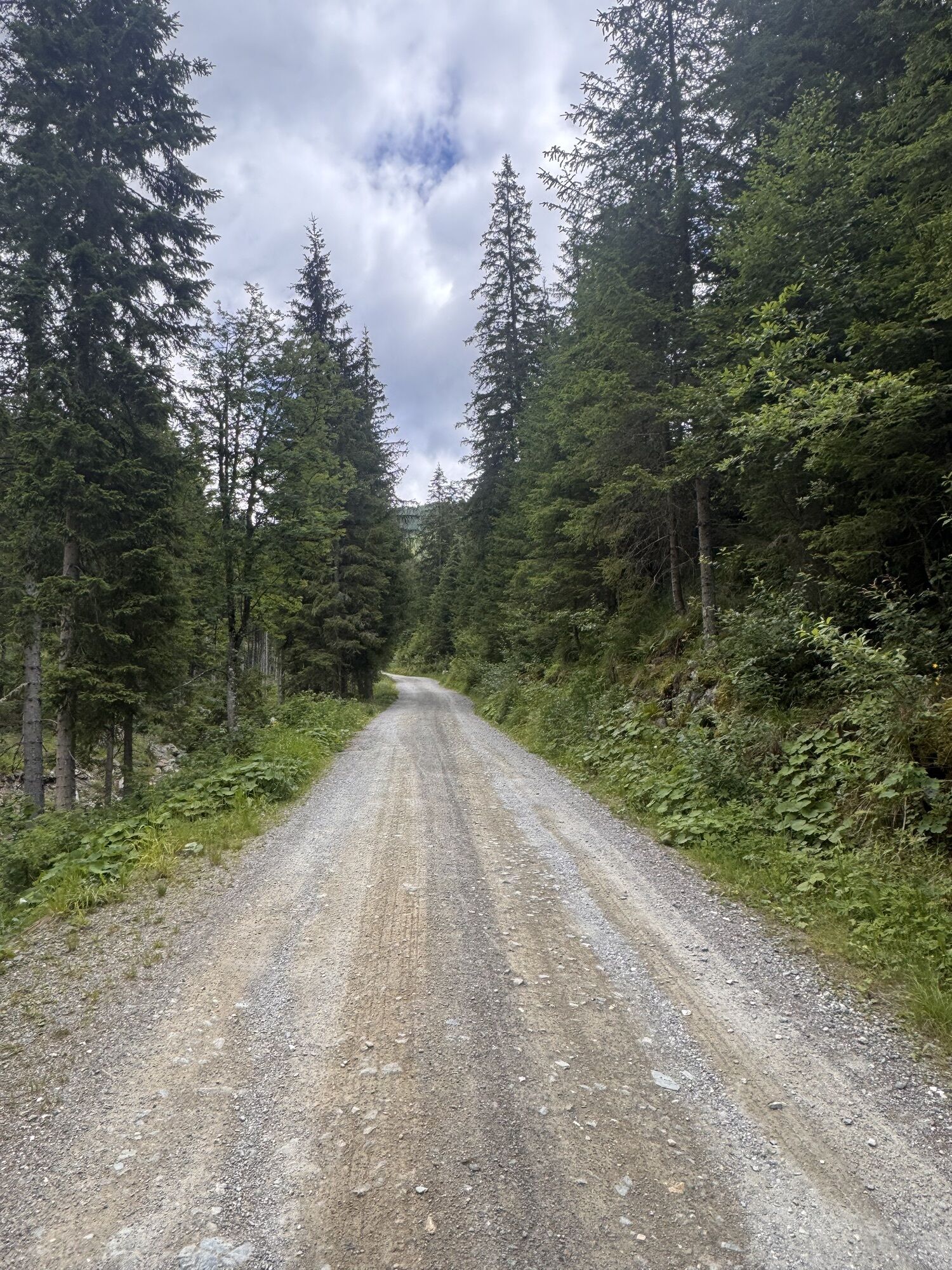
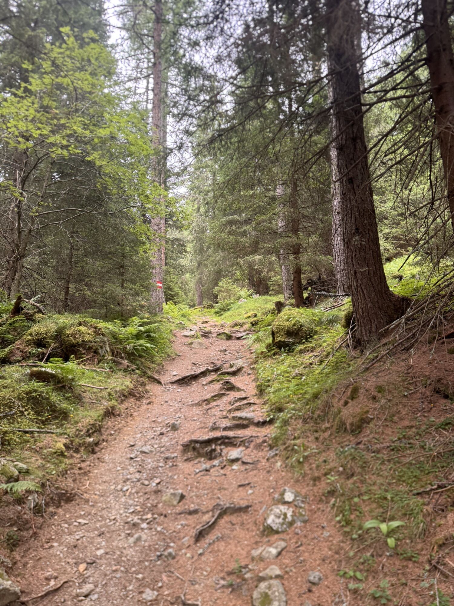
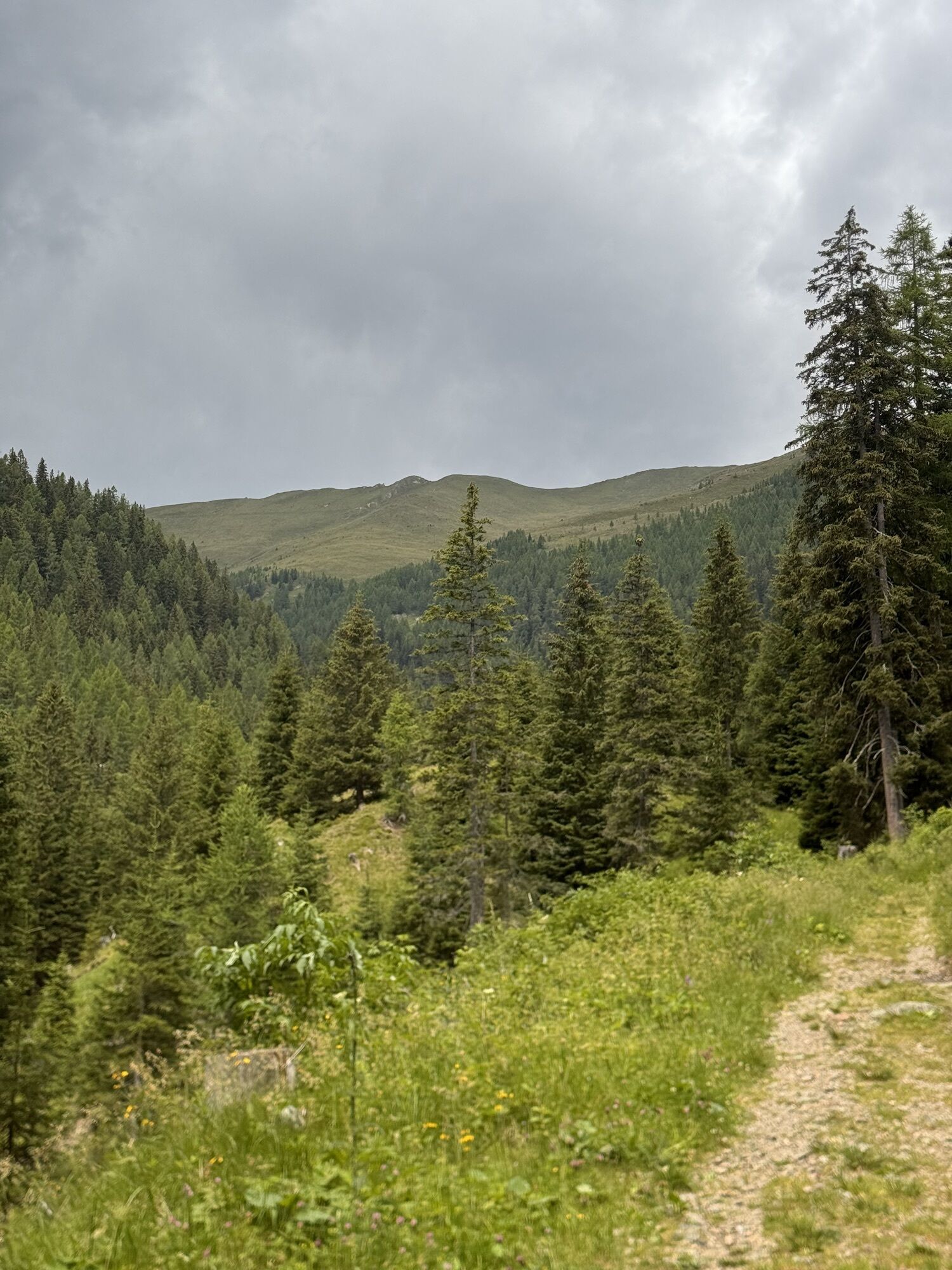
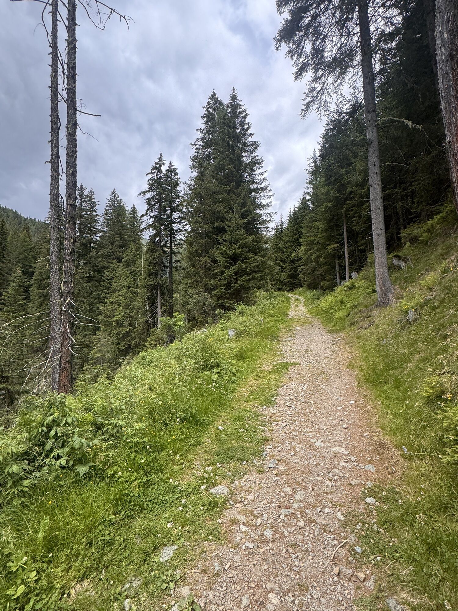
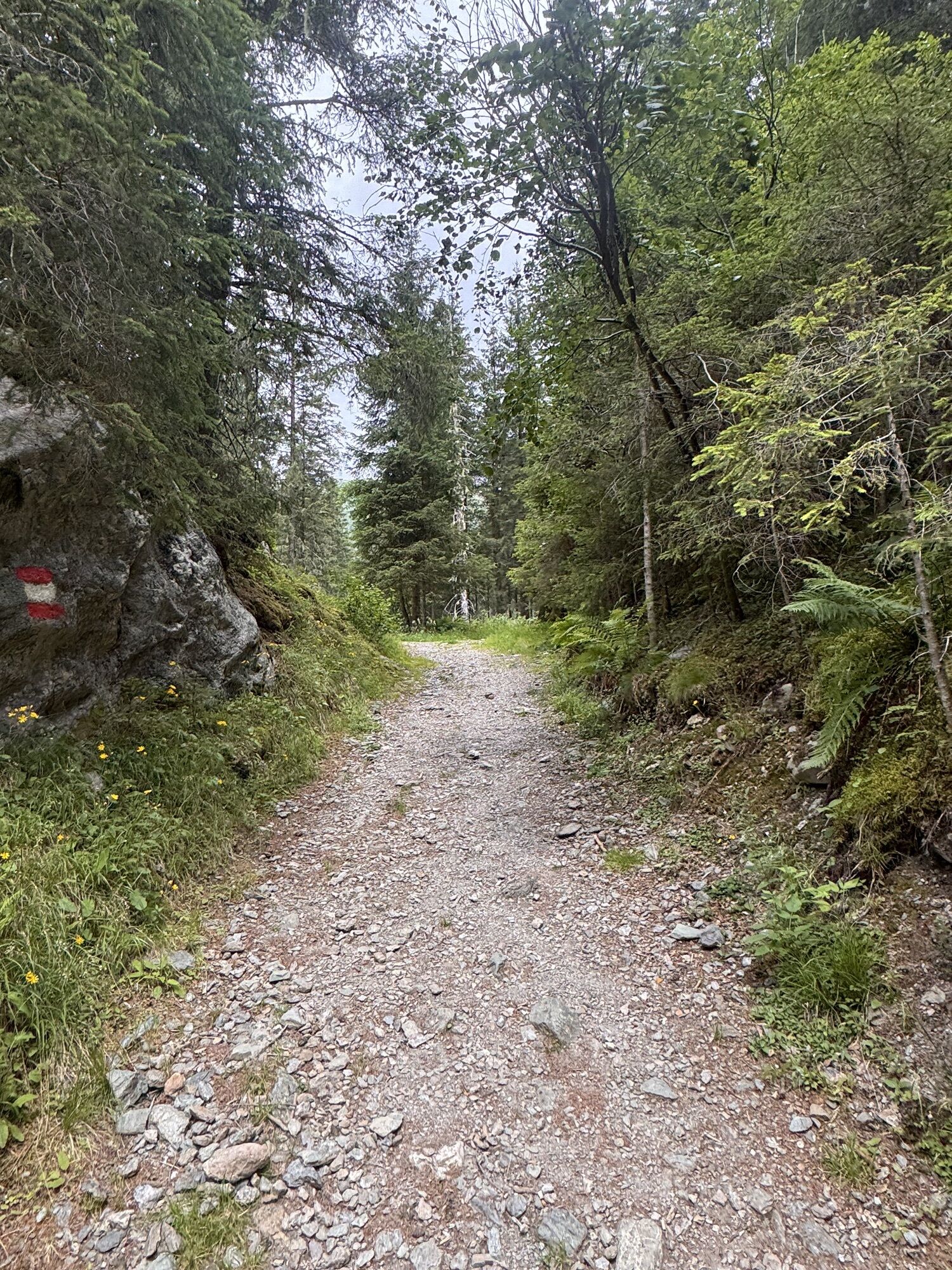
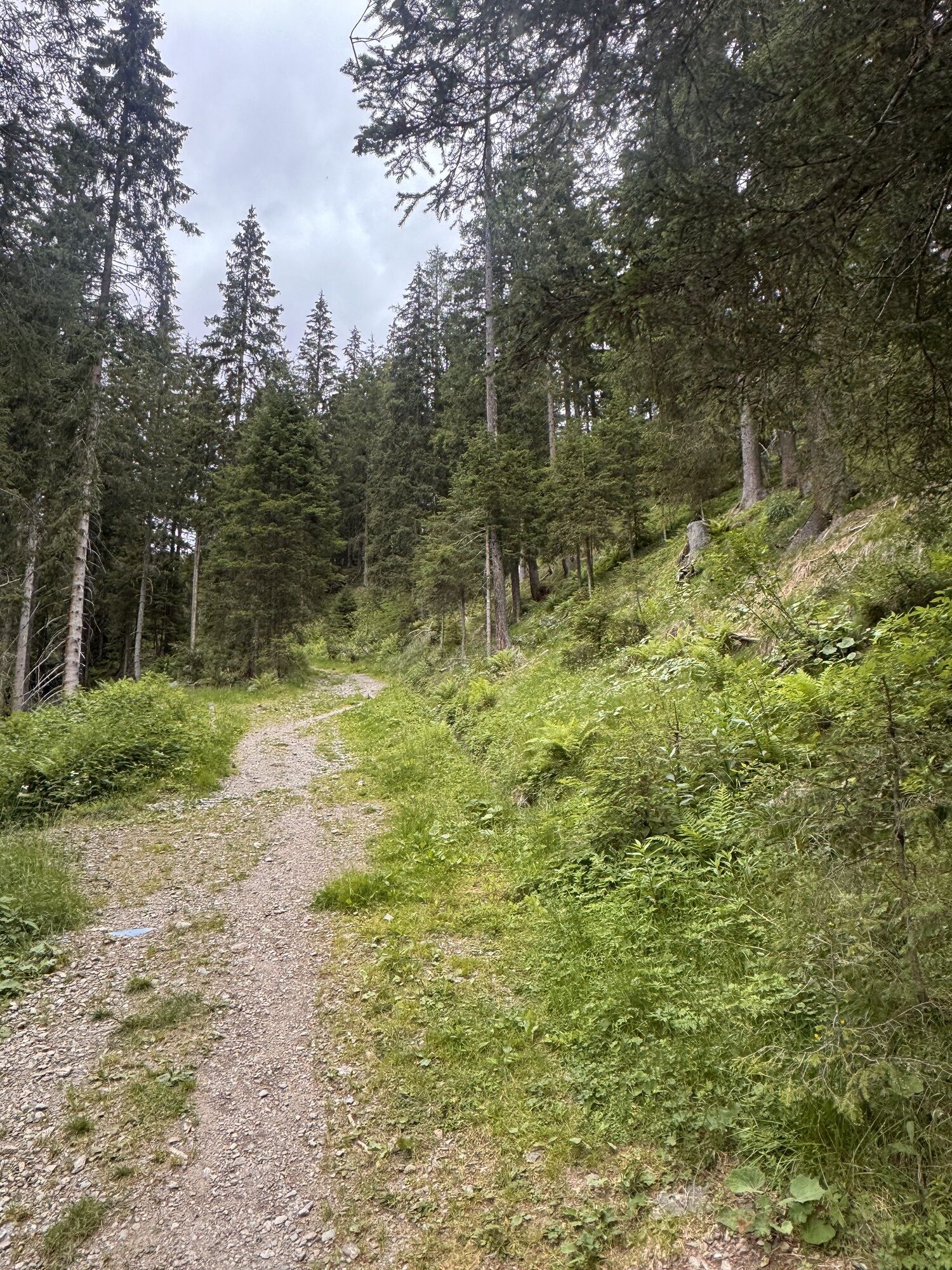
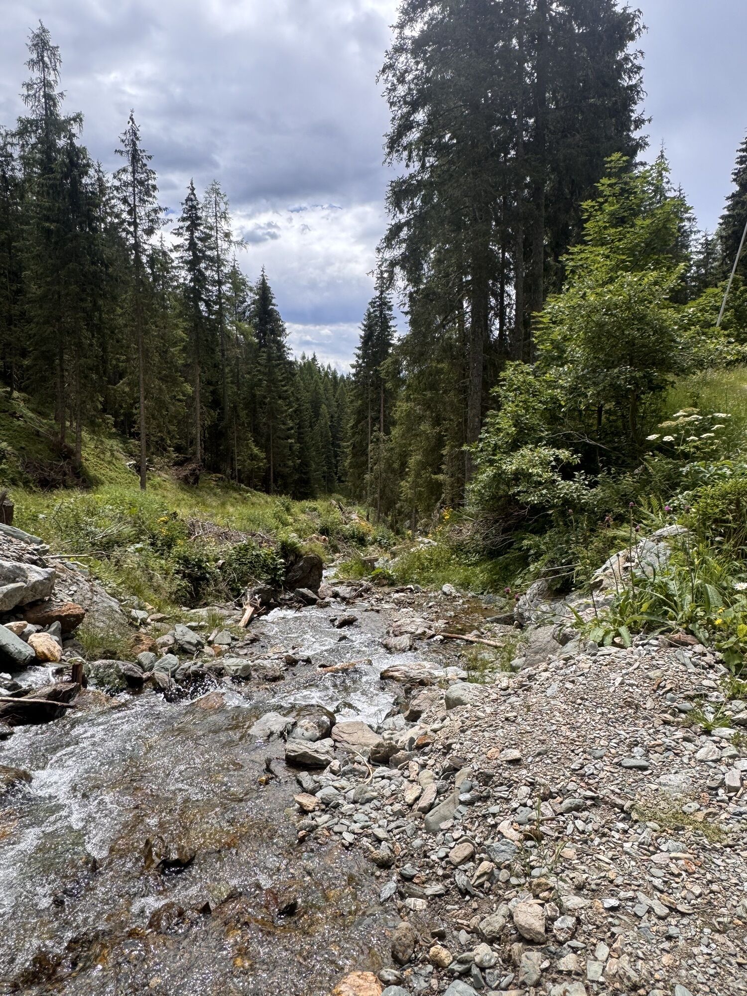
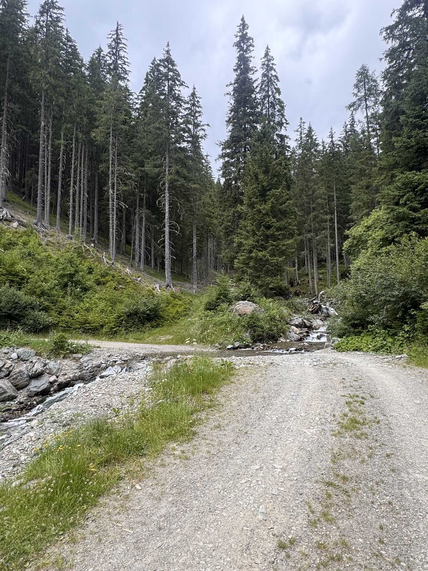
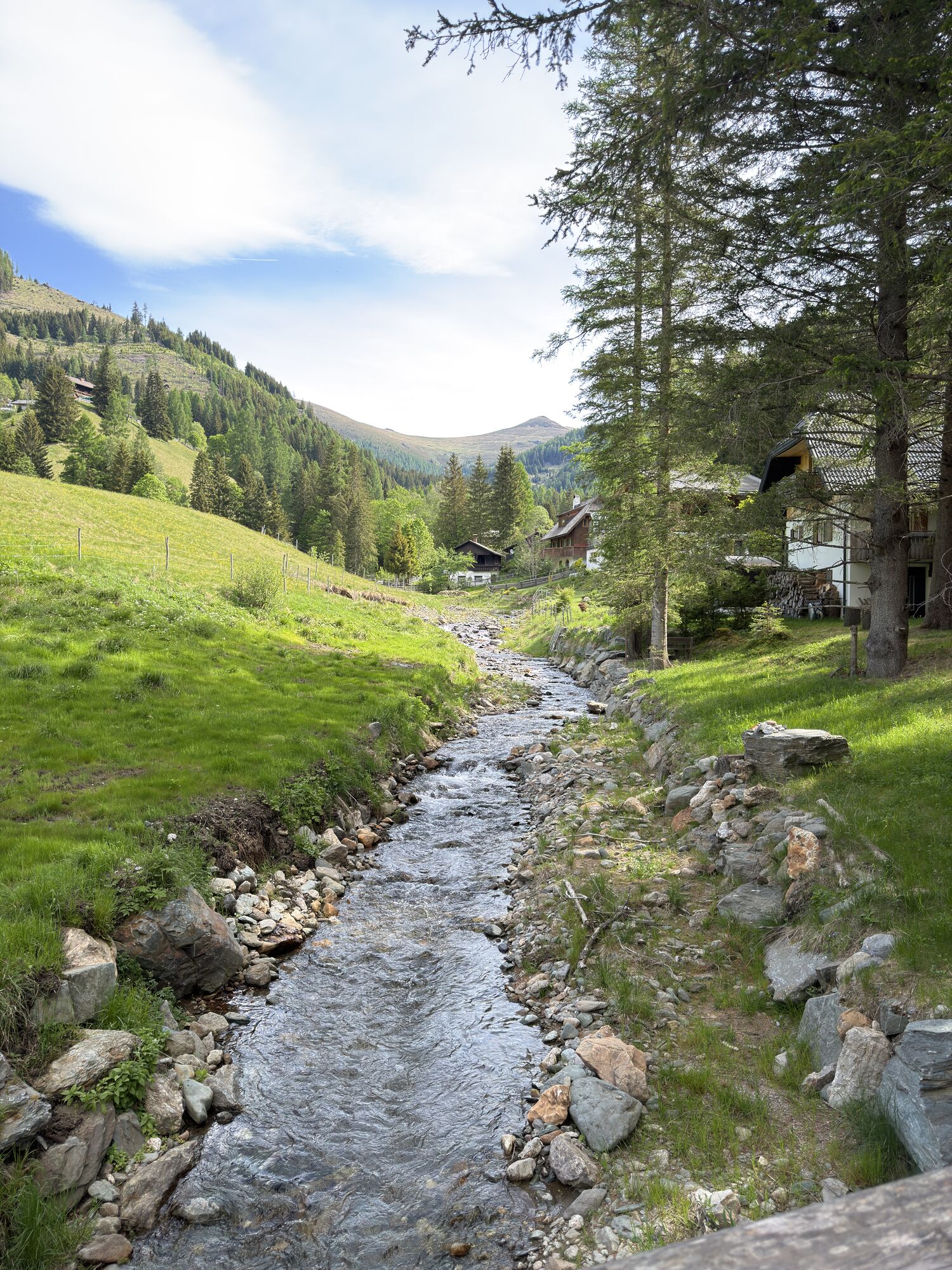

From the holiday village of Kirchleitn via the Falkerthaus to the Lärchenhütte, you can enjoy the tranquillity of the forest and the romance of the Nockberge mountains. Possibility to toboggan back to...
From the holiday village of Kirchleitn via the Falkerthaus to the Lärchenhütte, you can enjoy the tranquillity of the forest and the romance of the Nockberge mountains. Possibility to toboggan back to the starting point from Falkerthaus or Lärchenhütte.
Toboggan run is not lit!
No liability!
Use at your own risk!
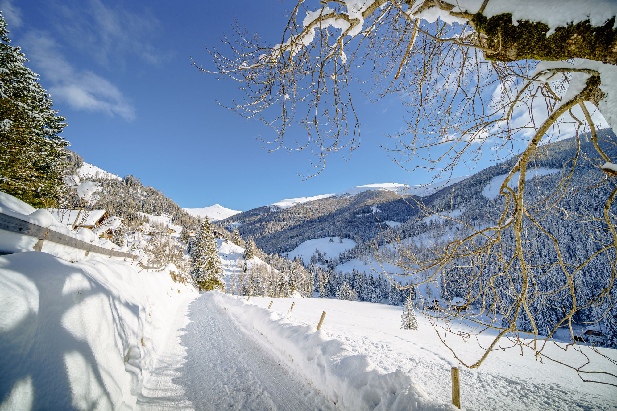


Falkerthaus or Lärchenhütte
Good shoes, warm clothes, sledges and a helmet!
Toboggan run is not lit! No liability! Use at your own risk!
With the car or the Ski-Thermen-Bus to the parking lot of the Biosphärenparkbahn Brunnach (opposite of the holiday village of Kirchleitn)
Free Ski-Thermen-Bus
Parking lot of the Biosphärenparkbahn Brunnach (opposite of the holiday village of Kirchleitn)

Webcams de la tournée

Activités le long du parcours
-

Bad Kleinkirchheim, Kärnten/Österreich
13.02.2026 – Randonnée en montagne -

Bad Kleinkirchheim, Kärnten/Österreich
08.02.2026 – Ski de randonnée -
Bad Kleinkirchheim, Kärnten/Österreich
08.02.2026 – Ski de randonnée -
Bad Kleinkirchheim, Kärnten/Österreich
31.01.2026 – Ski de randonnée -
Bad Kleinkirchheim, Kärnten/Österreich
18.01.2026 – Randonnée -
Bad Kleinkirchheim, Kärnten/Österreich
23.10.2025 – Randonnée
Parcours populaires à proximité
-
4,6
Turracher 3 Seen Weg - Weg der Sinne zwischen Berg & See
facileChemin thématique 7,15 km -
4,9
Schönfeld: Großer Königstuhl
moyenRandonnée 11,2 km -
4,8
Schoberriegel - Schönebennock -
facileRandonnée 9,88 km -
4,8
sentier Enzian-Granat et sentier Almbrunn
facileRandonnée 8 km -
4,9
Nockbergrundwanderweg
moyenRandonnée 6,62 km -
4,8
Falkertsee - Sonntagstal - Falkert
moyenRandonnée 4,84 km -
4,8
Gr. Königsstuhl, Nockalm, Kärnten
moyenRandonnée en montagne 7,15 km -
4,8
H-2-O Höhenweg
facileChemin thématique 5,40 km -
4,7
Große Rosennock Runde
Randonnée 9,80 km -
4,6
La piste cyclable du lac Millstätter
moyenFaire du vélo 27,7 km
Randonnée et suivi


Ne manquez pas les offres et l'inspiration pour vos prochaines vacances
Votre adresse électronique a été ajouté à la liste de diffusion.


