Vom Agathenhof zum Teichbauer und retour - rechtsherum
facile
Télécharge cette visite sur ton portable
Vom Agathenhof zum Teichbauer und retour - rechtsherum
facile
Randonnée
4,56
km
Scanner le code QR et commencer la navigation dans l'application bergfex

Randonnée & tracking


Vom Agathenhof zum Teichbauer und retour - rechtsherum
facile
Distance
4,56
km
Durée
01:06
h
Ascension
156
m
Altitude
687 -
827
m
Téléchargement de la piste
Vom Agathenhof zum Teichbauer und retour - rechtsherum
facile
Randonnée
4,56
km
Parcours
Parcours
Vom Agathenhof zum Teichbauer und retour - rechtsherum
facile
Randonnée
4,56
km

Informations sur l'itinéraire
Parcours
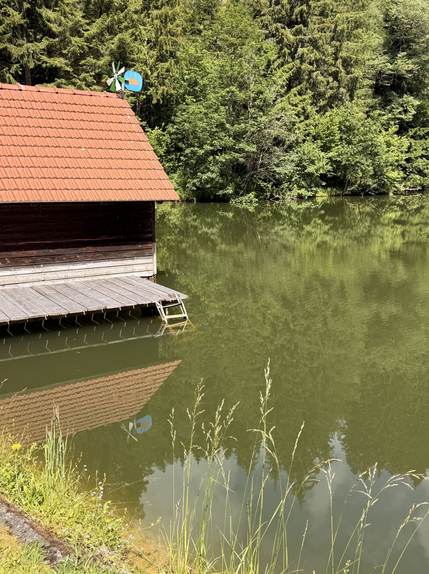
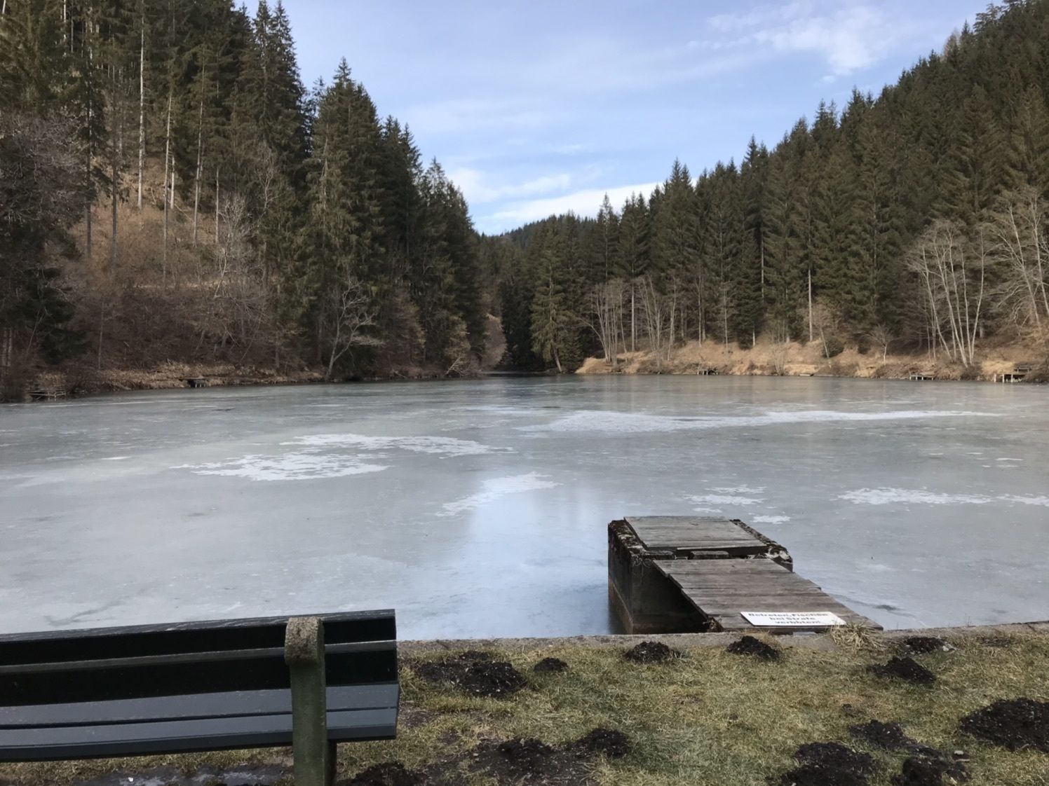
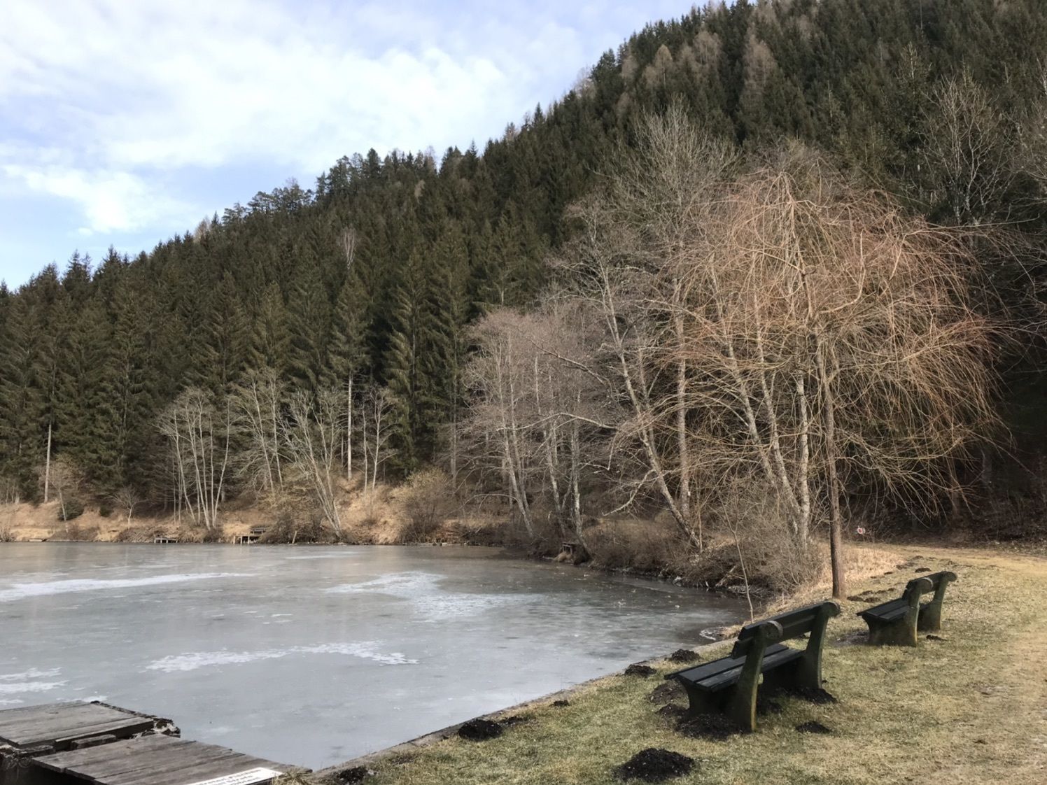
Start und Ziel Agathenhof
Pas encore d'évaluation

Parcours populaires à proximité
-
3,6
Sentier artistique - Längsee (1)
facileRandonnée 5,43 km -
4,3
Sentier de randonnée certifié : Guttaring - Mariahilferweg - sentier IVV permanent
moyenRandonnée 11,2 km -
4,6
Höhenweg Scharfes Eck
moyenRandonnée 6,18 km -
4,0
Parcours circulaire château de Frauenstein - lac Kraiger
facileRandonnée 6,96 km -
4,5
Sentier des châteaux Friesach
facileRandonnée 5,21 km -
4,1
Althofen Wald Ausichtsweg
facileRandonnée 3,94 km -
4,7
À travers la forêt de Wolschart (8)
moyenRandonnée 9,98 km -
4,5
Château de Frauenstein - châteaux de Kraiger - Zwein - Eggen (24)
moyenRandonnée 8,83 km -
5,0
Grebenzenrunde
moyenRandonnée 8,04 km -
4,5
Althofen : Une courte promenade qui offre de belles vues
moyenRandonnée 9,66 km
Randonnée et suivi

Plus de 550.000 propositions de circuits, des cartes détaillées et un planificateur d'itinéraire intuitif font de cette application un must pour tous les passionnés de nature.

Ne manquez pas les offres et l'inspiration pour vos prochaines vacances
S'inscrire à la newsletter
Erreur
Une erreur s'est produite. Veuillez réessayer.
Merci pour votre inscription
Votre adresse électronique a été ajouté à la liste de diffusion.
Parcours en Europe
Autriche
Suisse
Allemagne
Italie
Slovénie
France
Pays-Bas
Belgique
Pologne
Liechtenstein
République tchèque
Slovaquie
Espagne
Croatie
Bosnie-Herzégovine
Luxembourg
Andorre
Portugal
Islande
Royaume-Uni
Irlande
Grèce
Albanie
Macédoine du Nord
Malte
Norvège
Monténégro
Moldavie
Kosovo
Hongrie
Saint-Marin
Roumanie
Estonie
Lettonie
Bélarus
Chypre
Lituanie
Serbie
Bulgarie
Monaco
Danemark
Suède
Finlande