


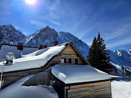
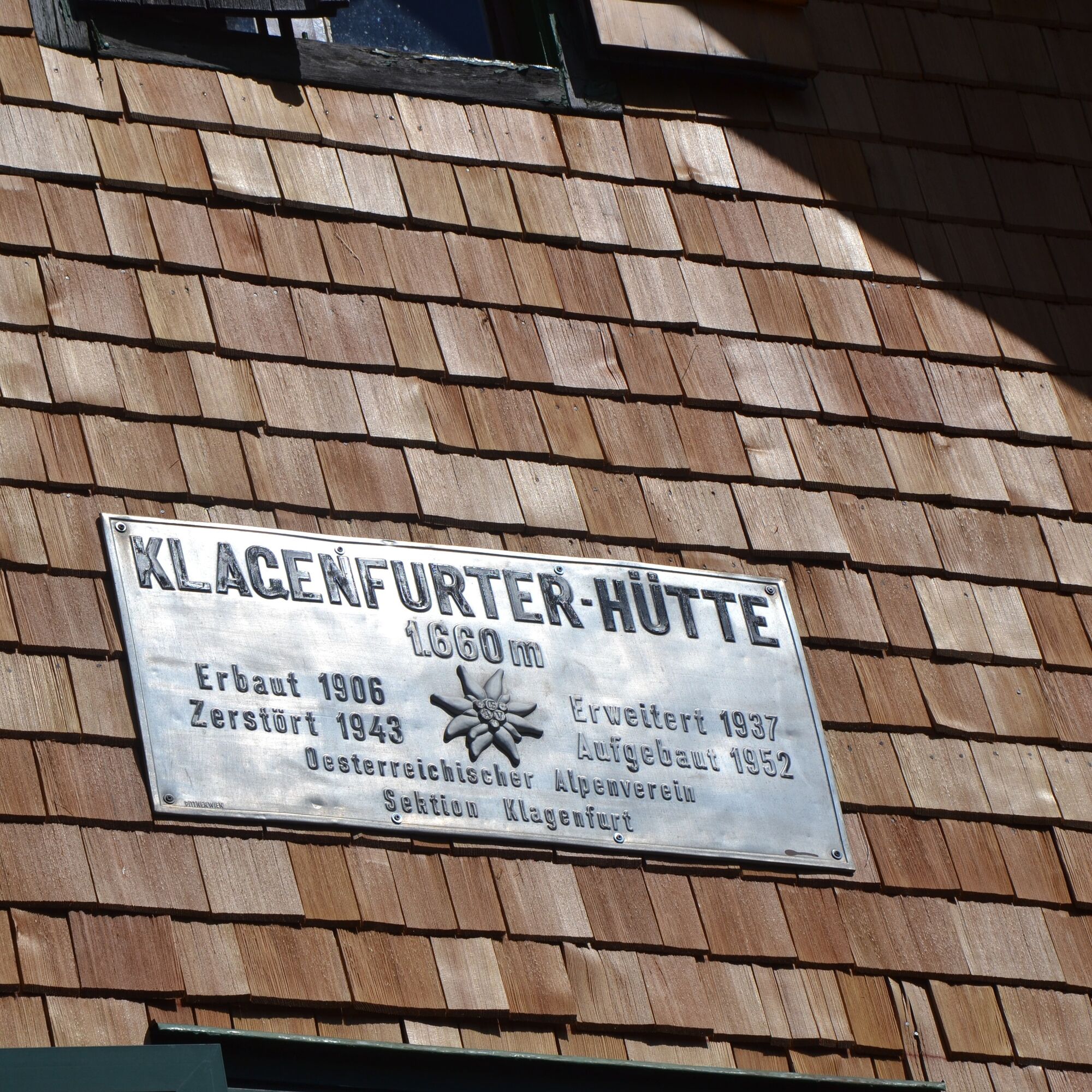
Klagenfurt hut
Photos de nos utilisateurs
-
 © DeyanX12Créé le 10.08.2025
 -
 © DeyanX12Créé le 10.08.2025
 -
 © 〽️anniCréé le 09.08.2025
 -
 © AnnJuCréé le 15.07.2025
 -
 © AnnJuCréé le 15.07.2025
 -
 © AnnJuCréé le 15.07.2025
 -
 © Kurt SchmalzmayerCréé le 19.05.2025
 -
 © Martina OitzingerCréé le 14.08.2021
 -
 © 〽️anniCréé le 28.02.2026
 -
 © 〽️anniCréé le 28.02.2026
 -
 © Florian DürneggerCréé le 19.06.2025
 -
 © Daniel KordaschCréé le 24.05.2025
 -
 © Martina OitzingerCréé le 15.08.2024
 -

 © christian kasper 1Créé le 17.03.2024
 -
 © christian kasper 1Créé le 17.03.2024
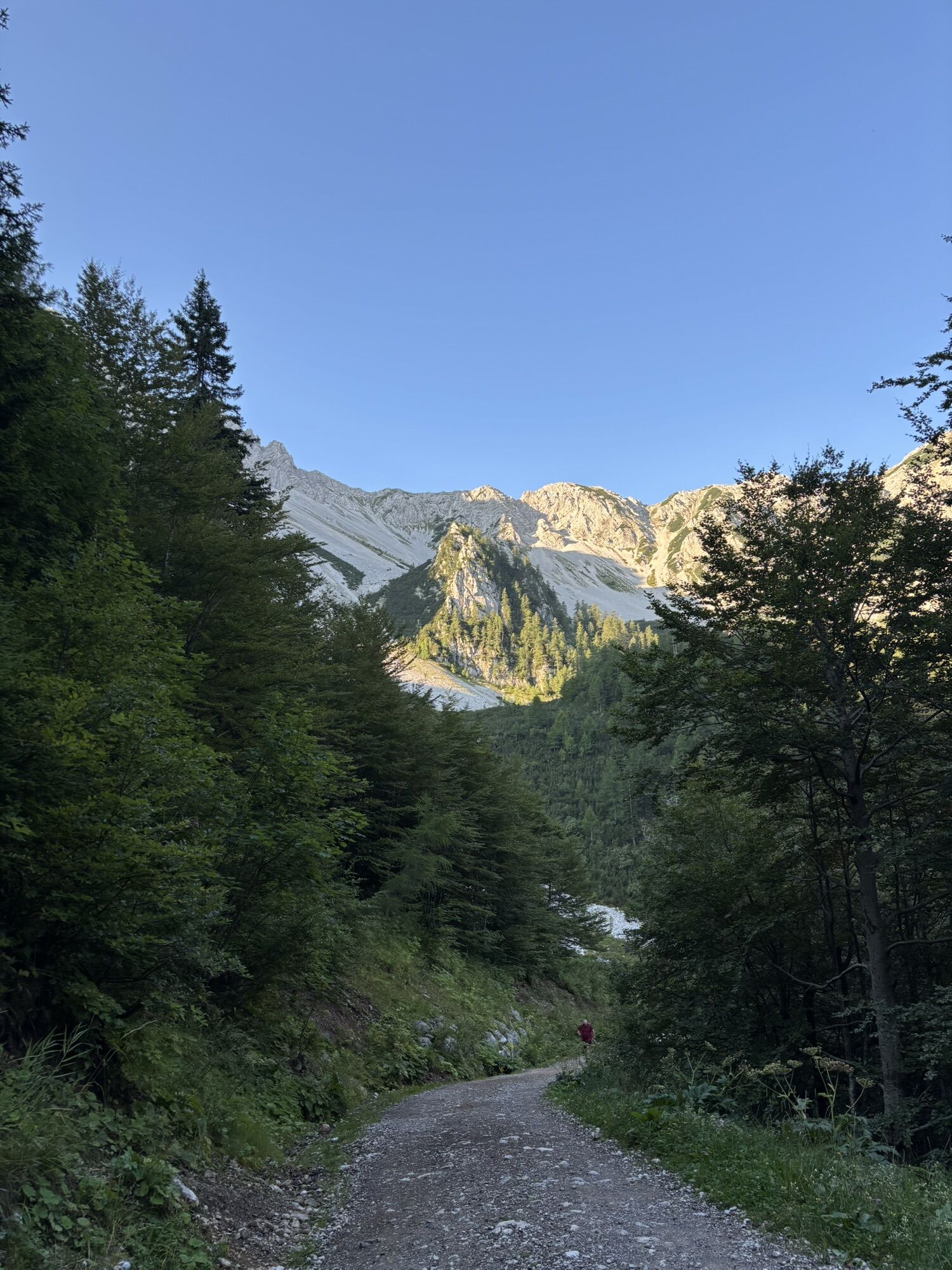
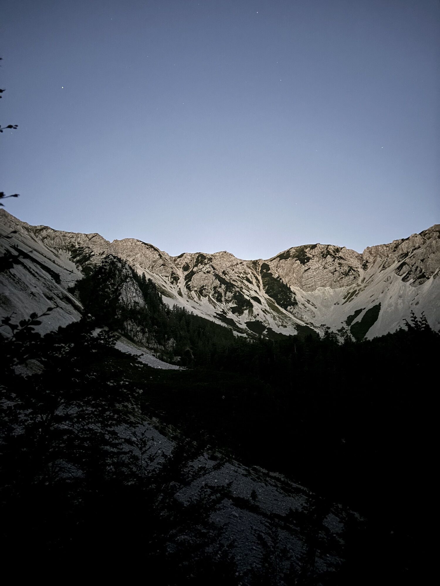
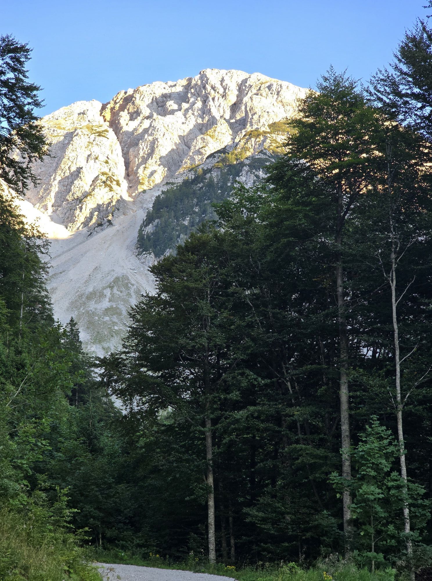

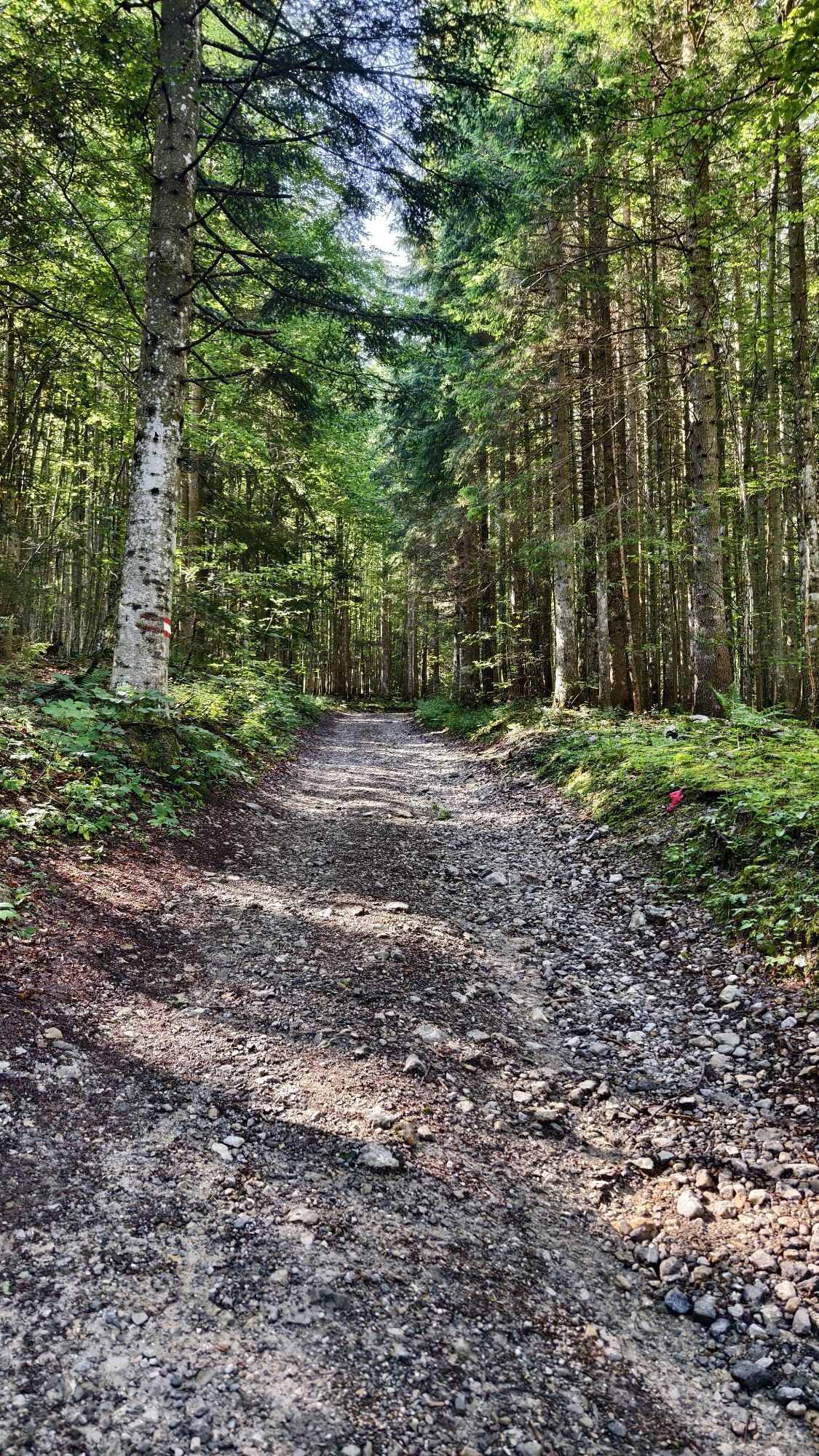


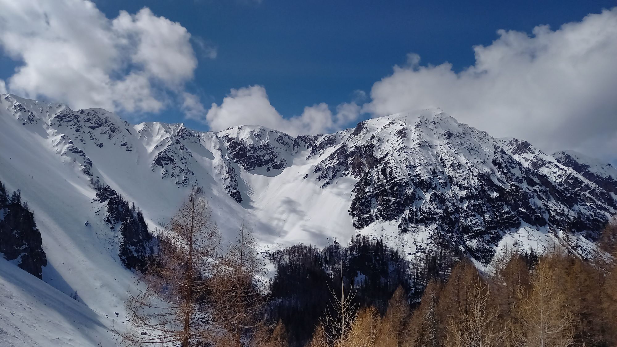
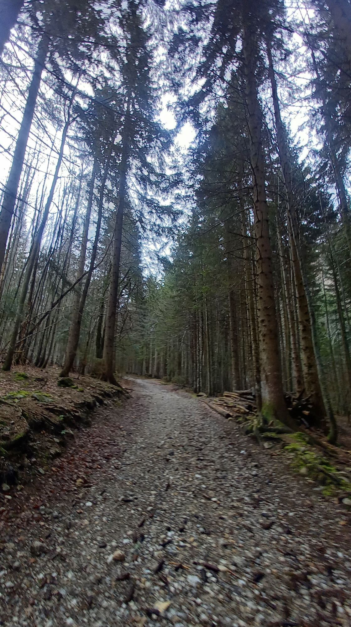
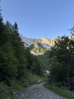
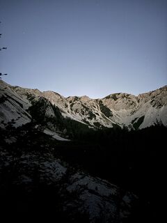
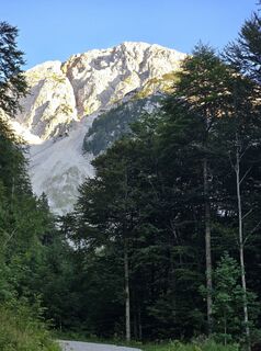
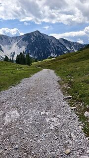
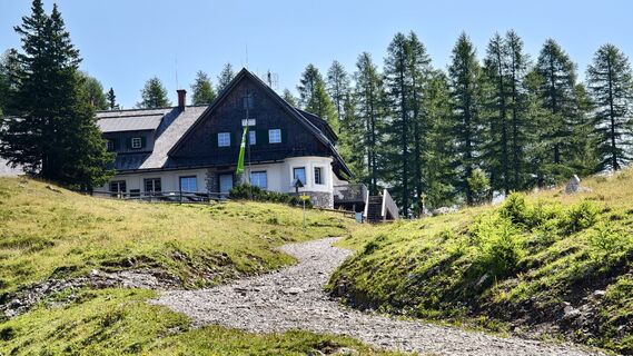
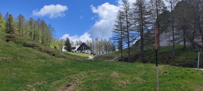
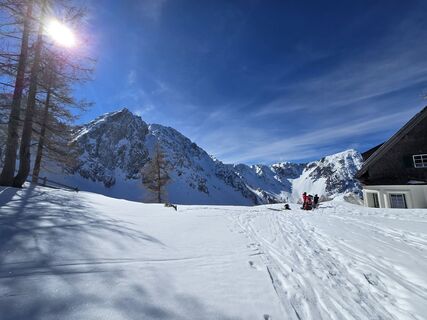
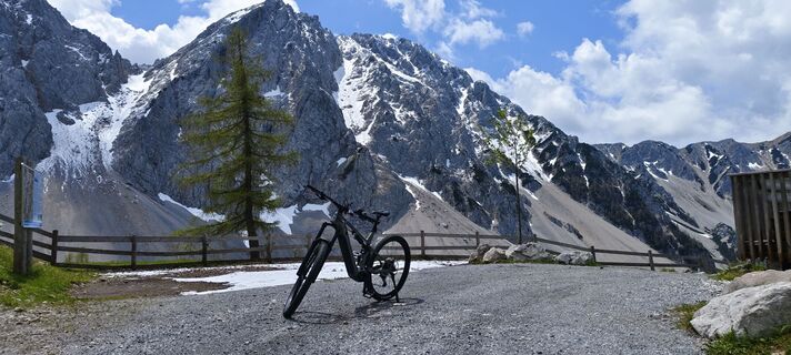
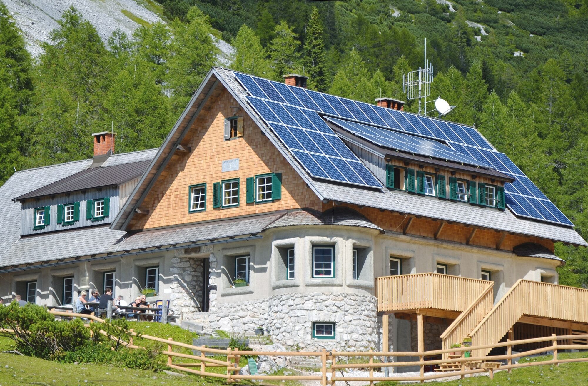
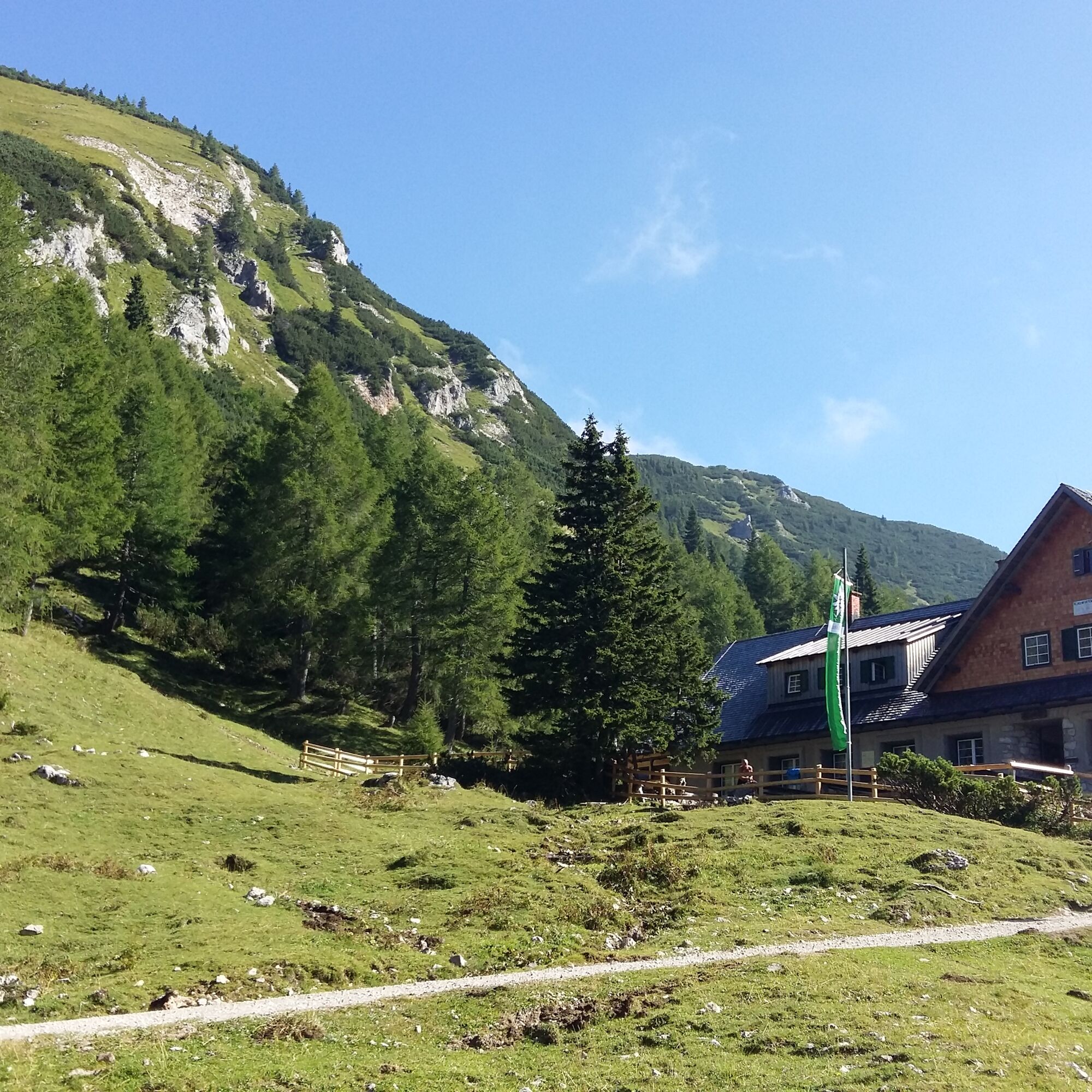
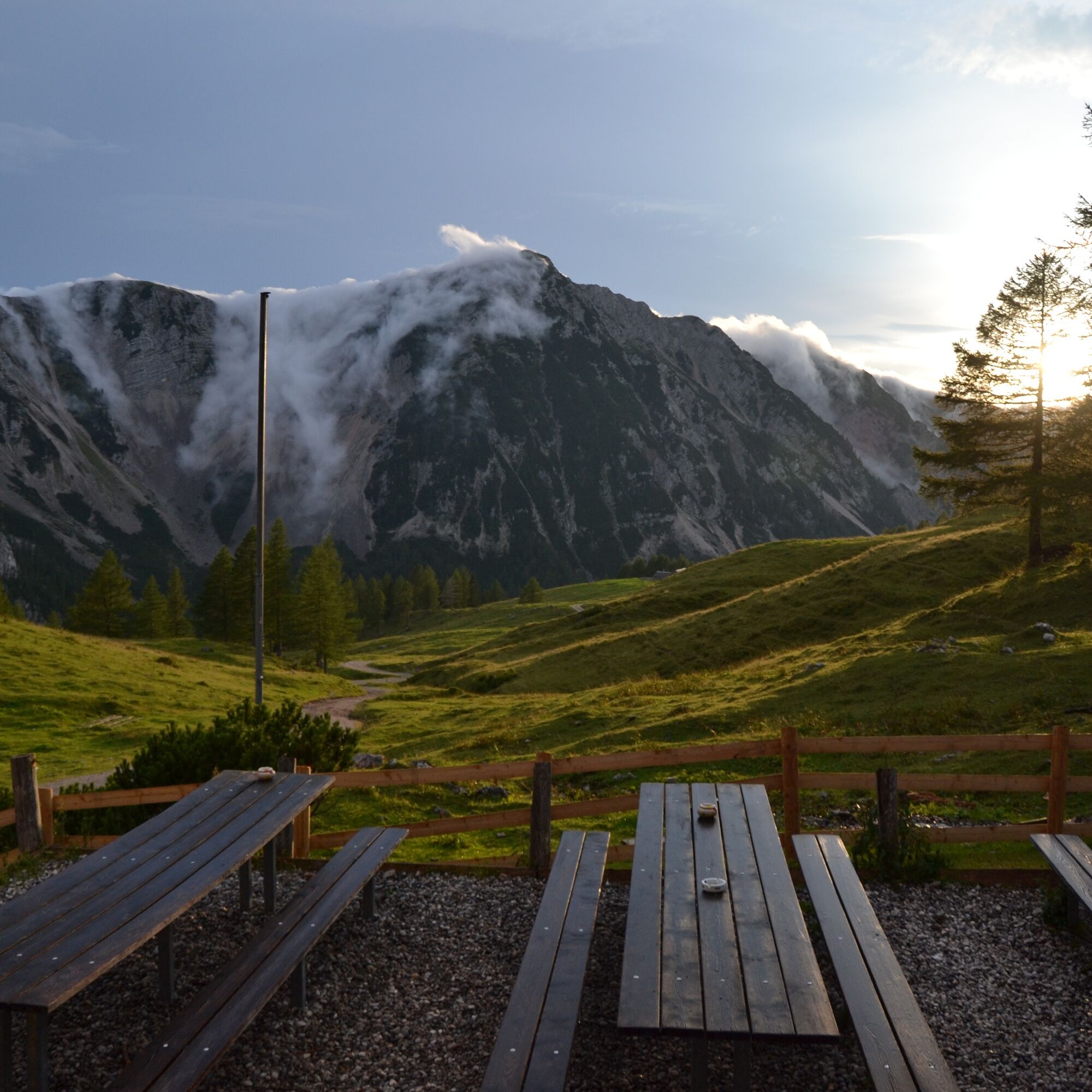
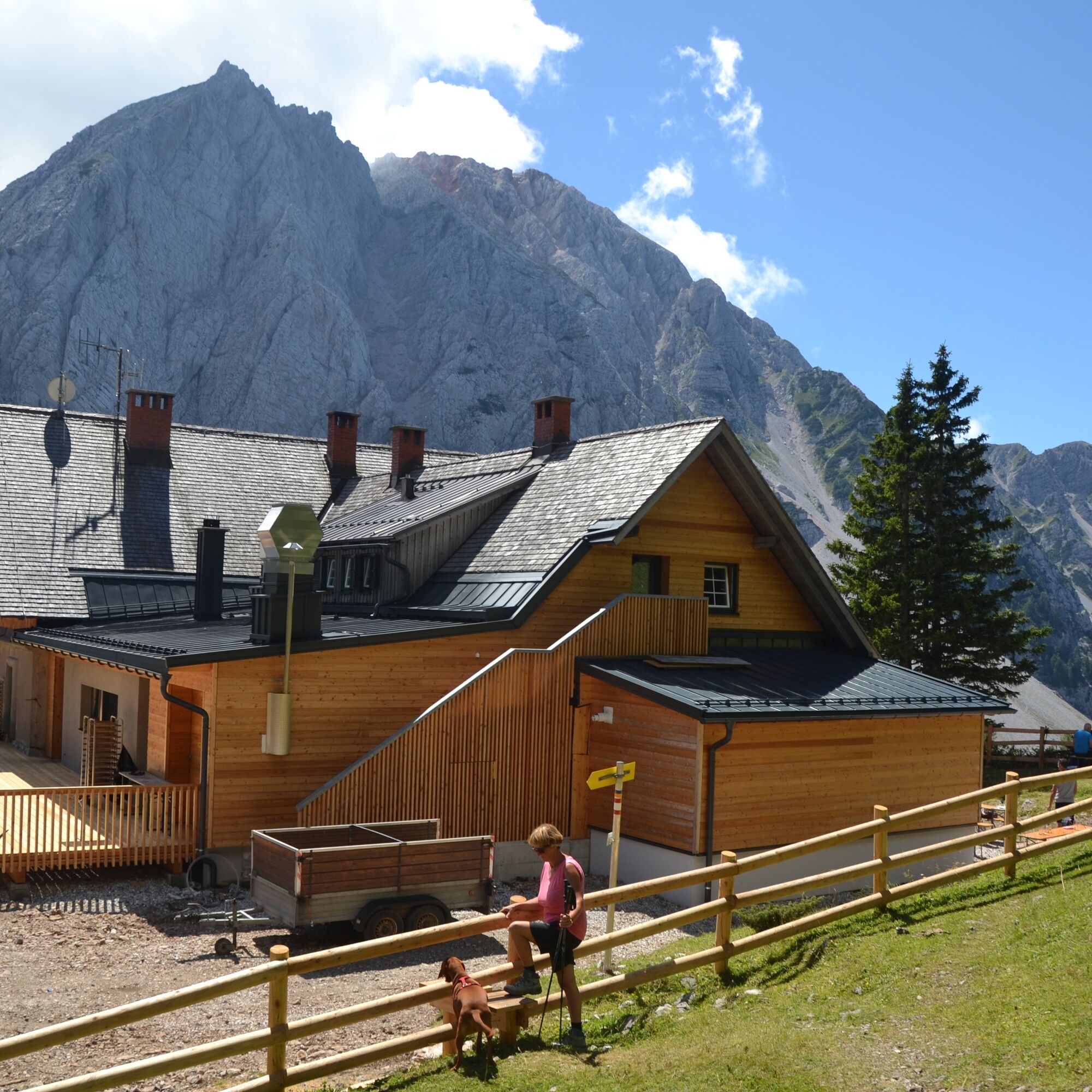
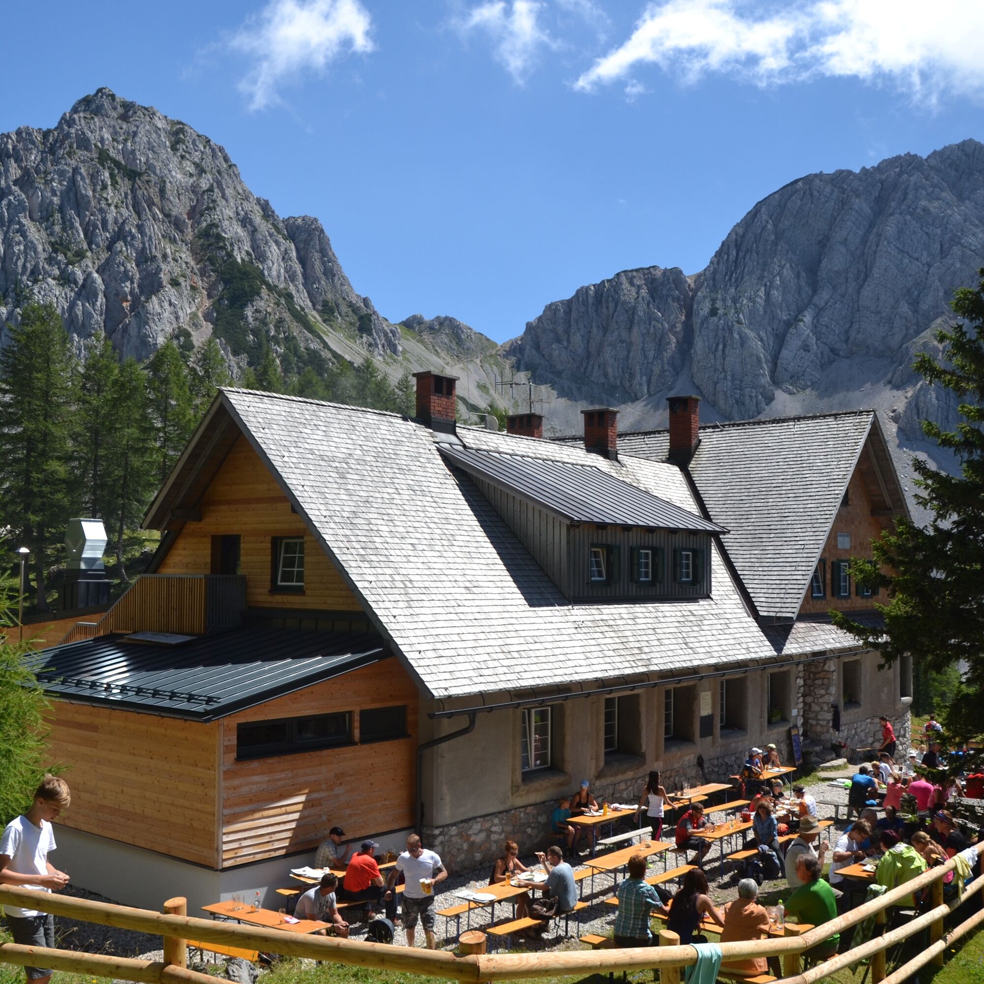
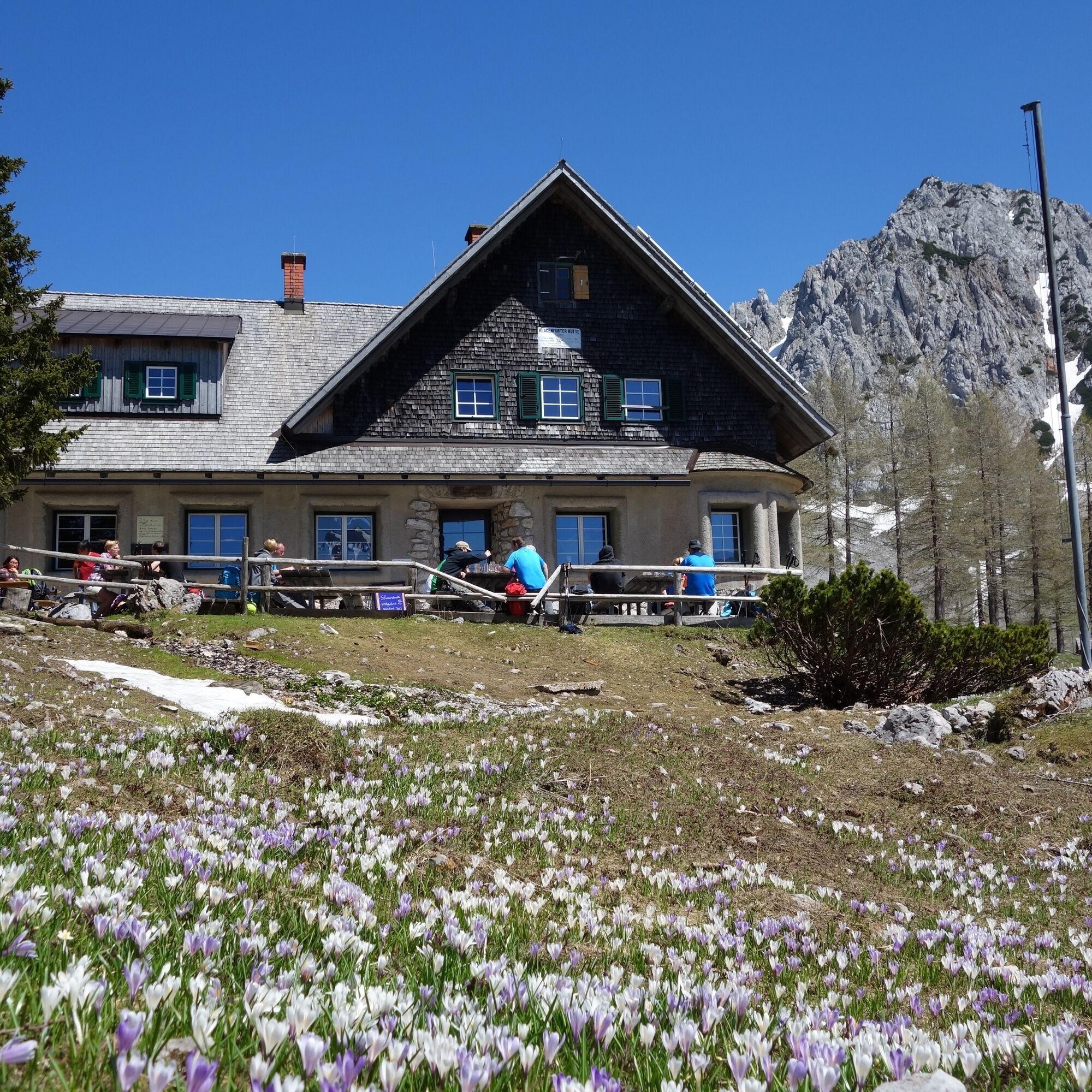
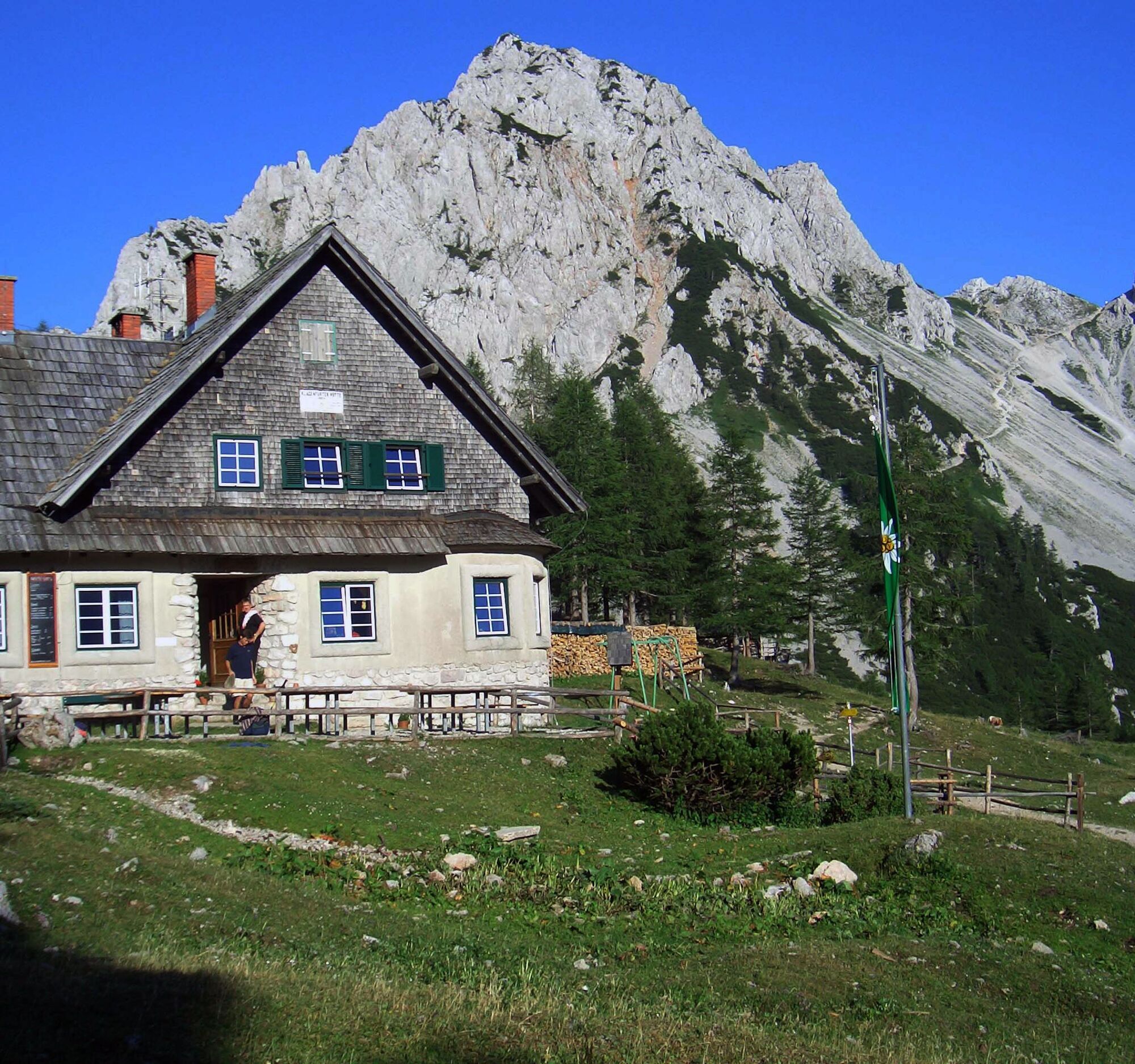
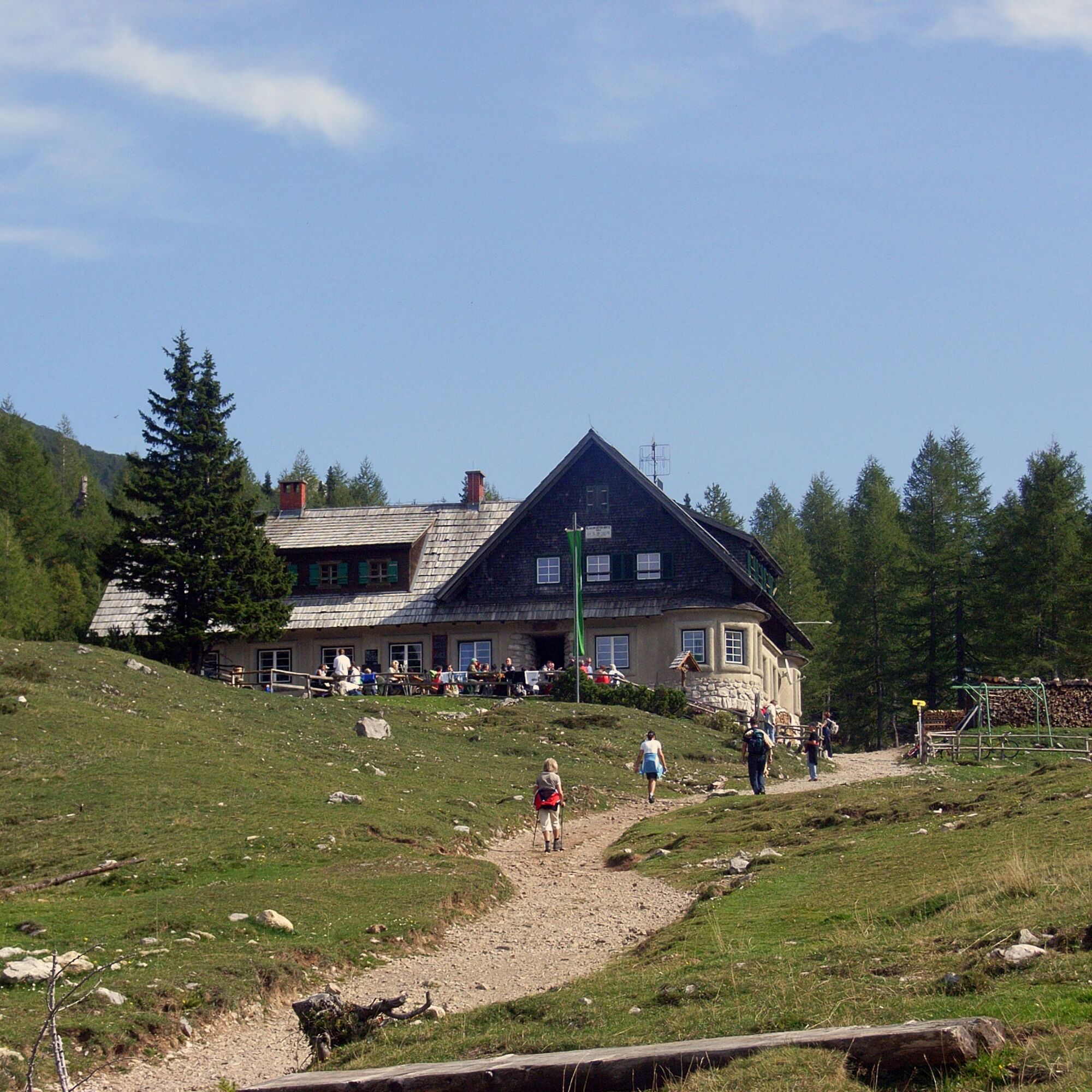
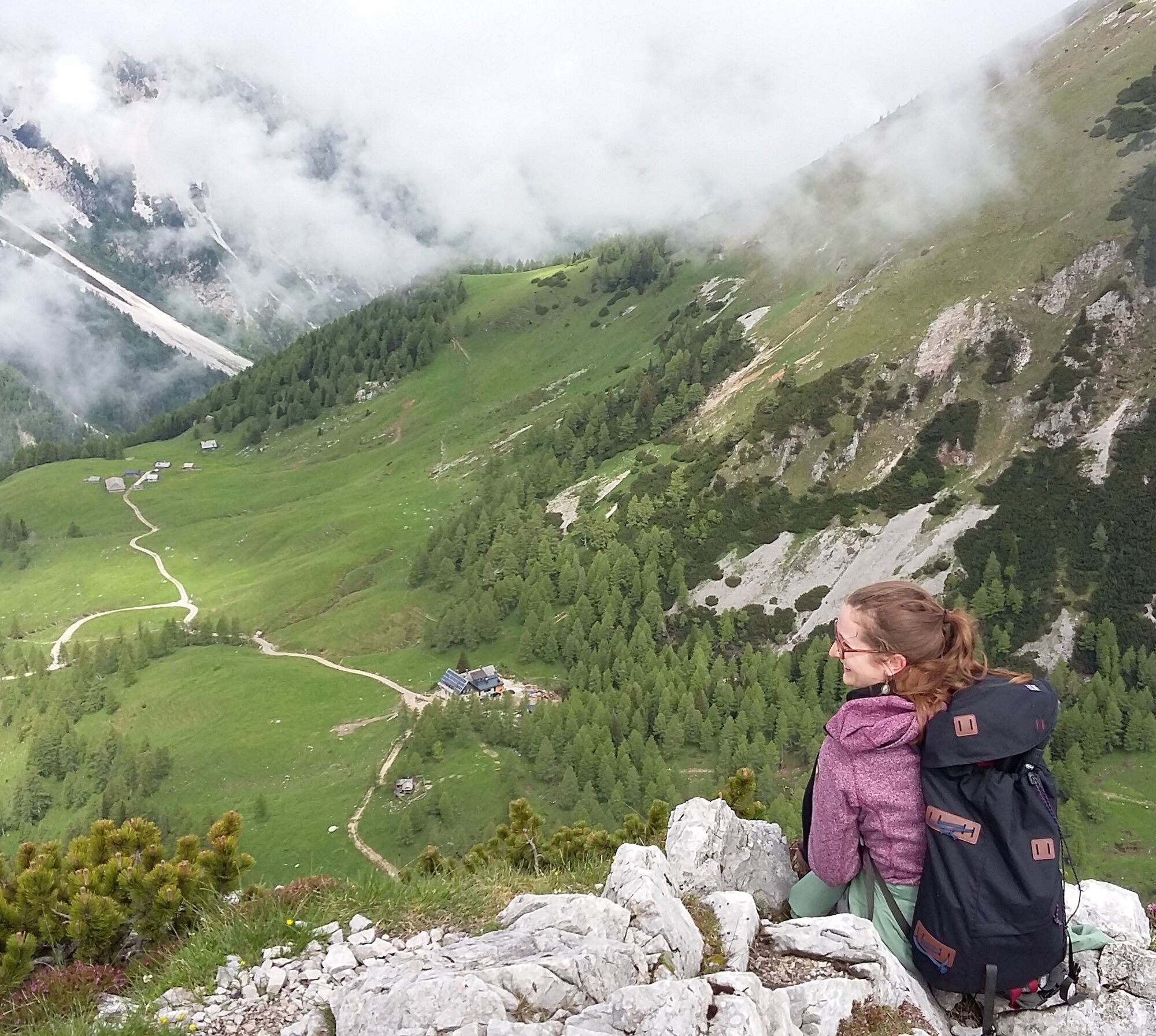
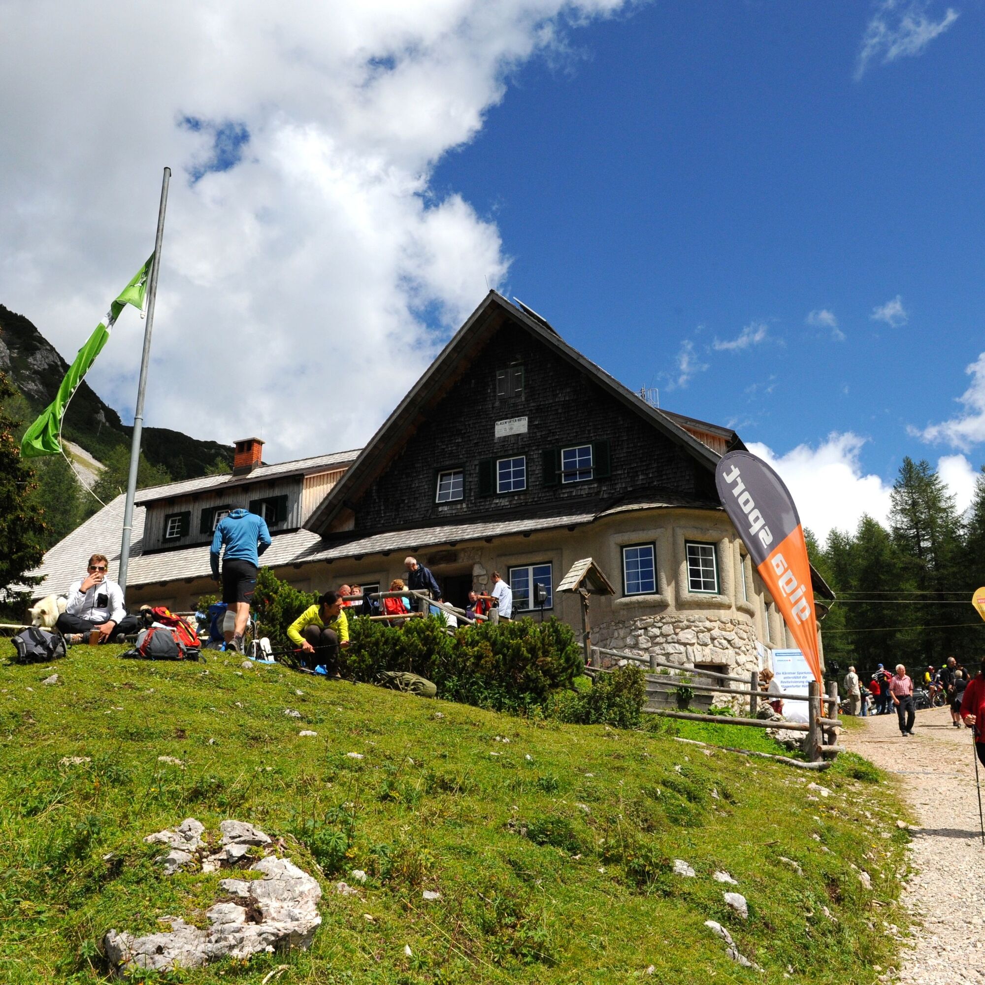
From the Johannsenruhe car park in the Bärental valley, take a forest road to the Klagenfurter Hütte, where you can enjoy a magnificent panorama in the midst of the Karawanken mountains. If you haven't...
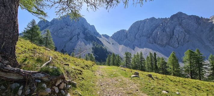
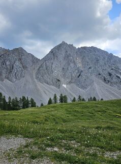
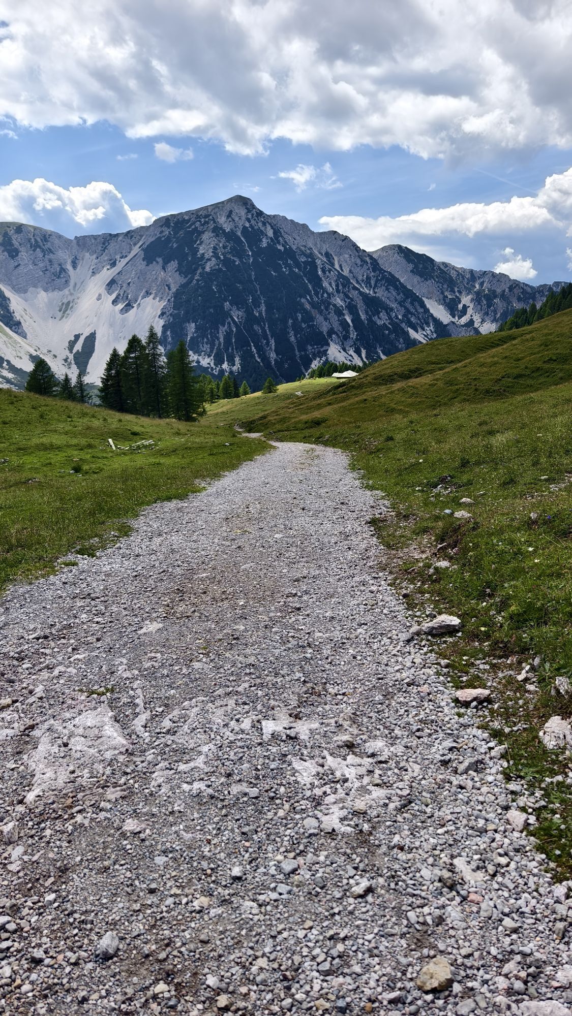
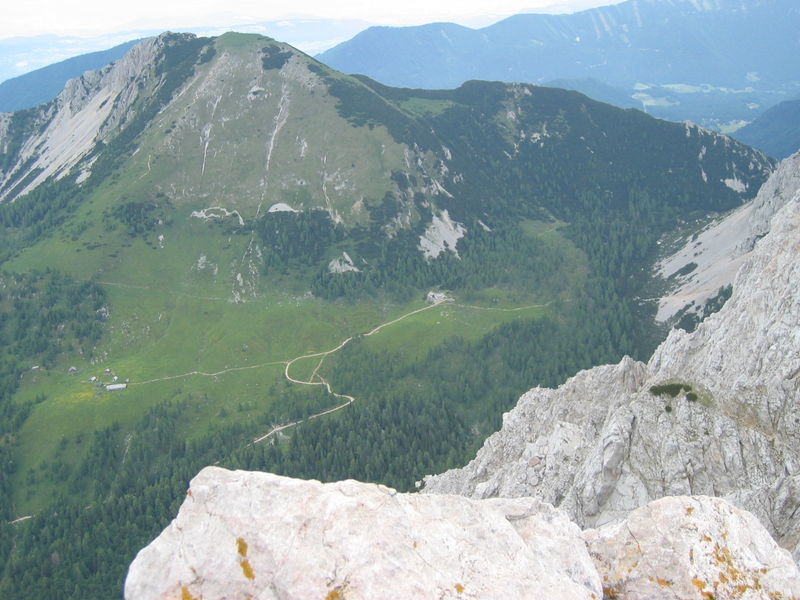
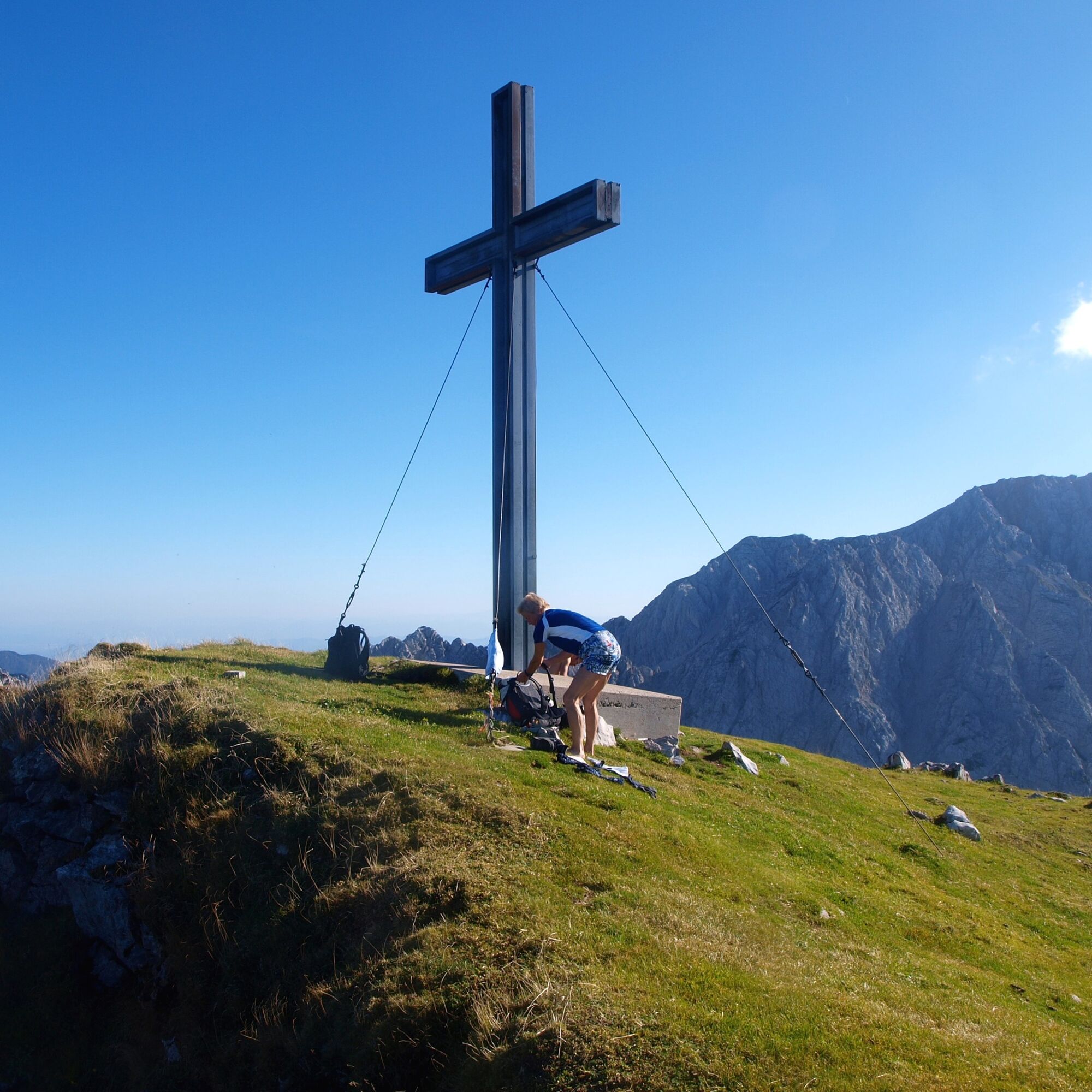
From the Johannsenruhe car park in the Bärental valley, take a forest road to the Klagenfurter Hütte, where you can enjoy a magnificent panorama in the midst of the Karawanken mountains. If you haven't had enough yet, you can continue hiking to the 2,024 m high Geißberg (Kosiak). Here you have a view over the entire southern Carinthian region. The path up the Geißberg is steep but technically not difficult. The walking time Klagenfurter Hütte - Geißberg - Klagenfurter Hütte is about 2 hours and you cover 360 metres in altitude.


From the Johannsenruhe car park, follow trail number 603 to the Klagenfurter Hütte. To Kosiak there is the circular trail number 666.
Sturdy walking shoes, rain gear and provisions
From Klagenfurt via Kirschentheuer to Feistritz im Rosental, here after the Billa and before the Lausegger inn turn left into Bärental.
Follow the asphalt road for approx. 5 km, past the car park at the former Stouhütte and on a gravel road for approx. 2 km to the Johannsenruhe car park.
Arrival by public transport not possible
Car park Johannsenruhe
Refreshment stop at the Klagenfurt Hut

Parcours populaires à proximité
-
4,2
Du Bärental au Kosiak (cabane de Klagenfurt)
moyenRandonnée 9,67 km -
4,6
Chemin d'expérience aquatique Hainschgraben
moyenRandonnée 9,23 km -
4,6
Passage du Sinacher Gupf
moyenRandonnée 8,32 km -
4,7
Ogrisalm ab Bodenbauer, Kärnten/Österreich
facileSki de randonnée 11,2 km -
4,3
Slow Trail Meerauge
facileRandonnée 5,51 km -
3,9
Singerberg, über die Südseite
moyenRandonnée 7,87 km -
4,2
Randonnée hivernale à Singerberg
moyenRandonnées d'hiver 8,36 km -
3,7
Randonnée Bodental/Cabane Klagenfurter
moyenRandonnée 11,9 km -
5,0
Rjautza
moyenRandonnée 8,98 km -
4,6
Sentier cœur autour du lac de Bled
moyenChemin thématique 5,93 km
Randonnée et suivi


Ne manquez pas les offres et l'inspiration pour vos prochaines vacances
Votre adresse électronique a été ajouté à la liste de diffusion.