







Gailtaler Höhenweg, Abschnitt Weißbriach-Windische Höhe

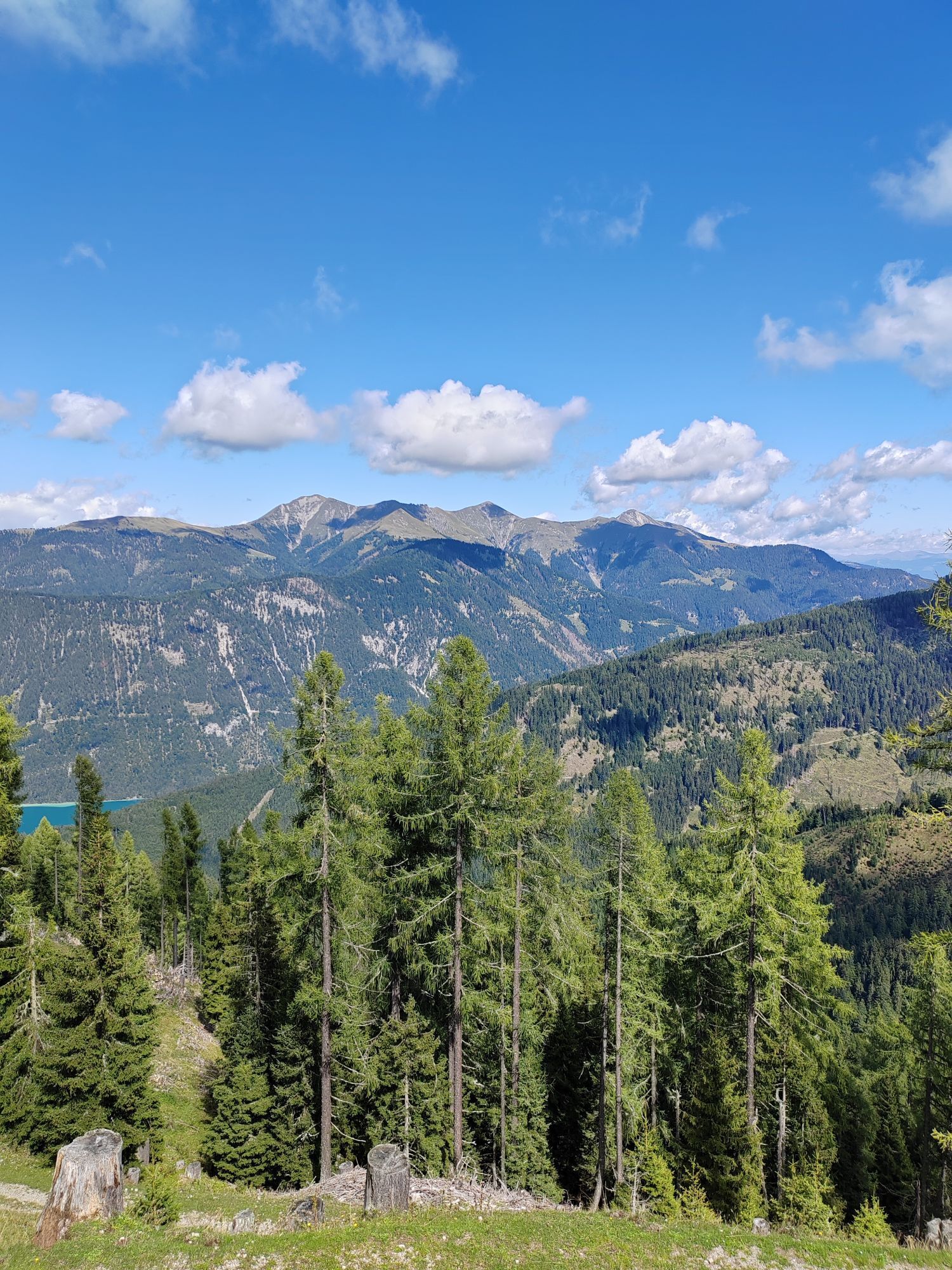
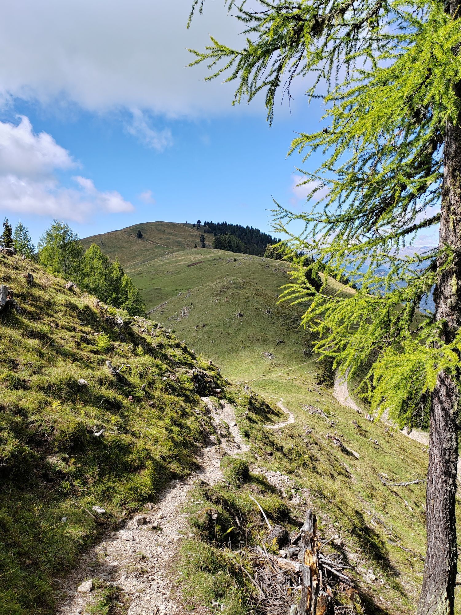
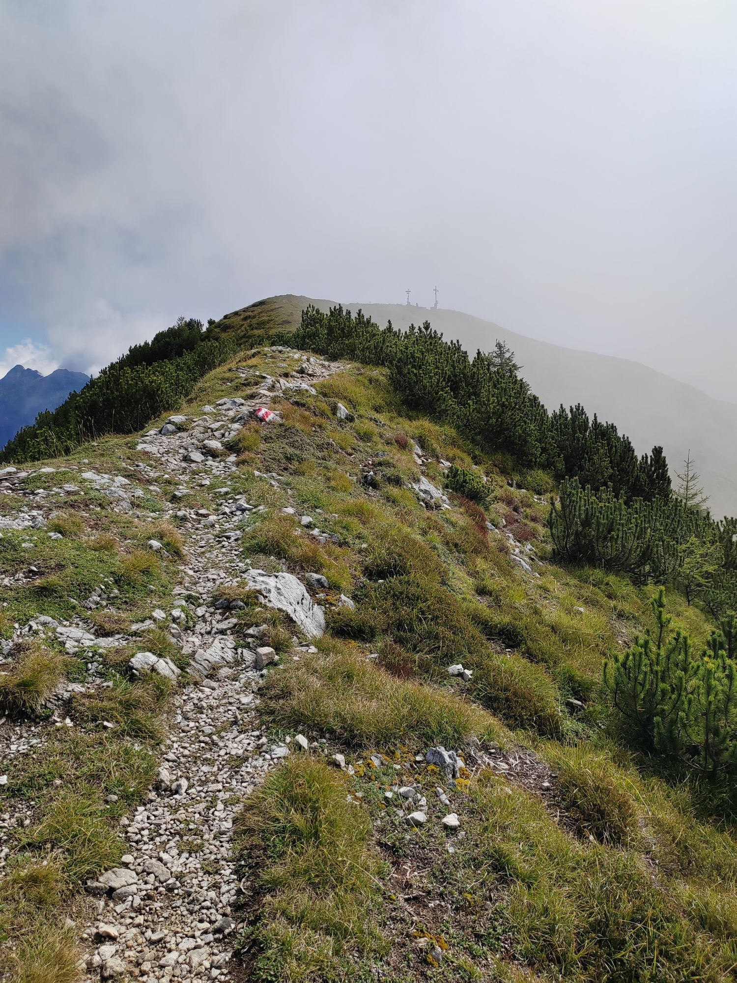
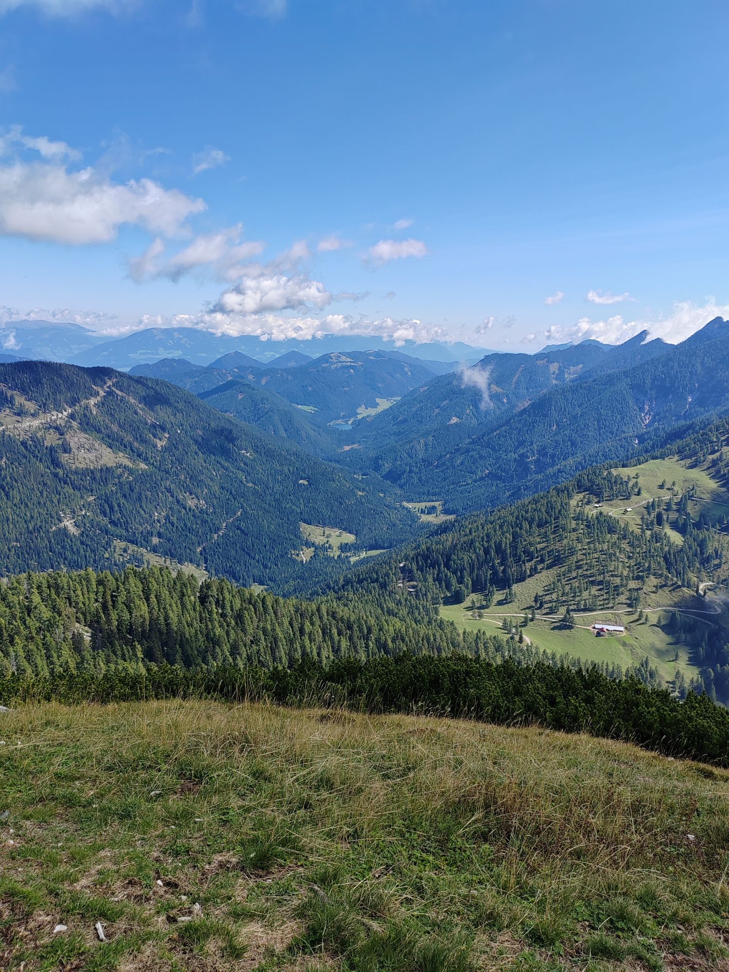
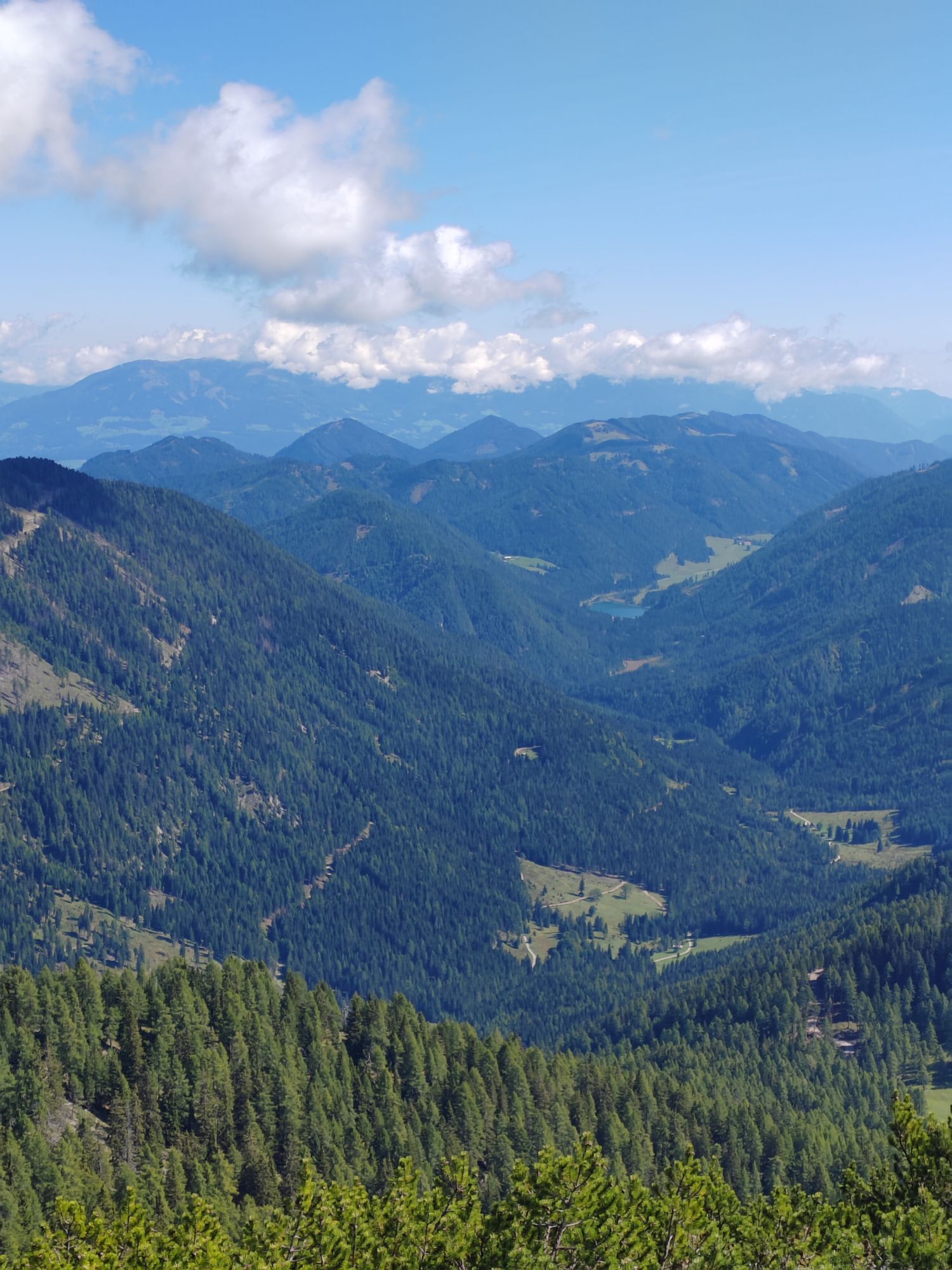
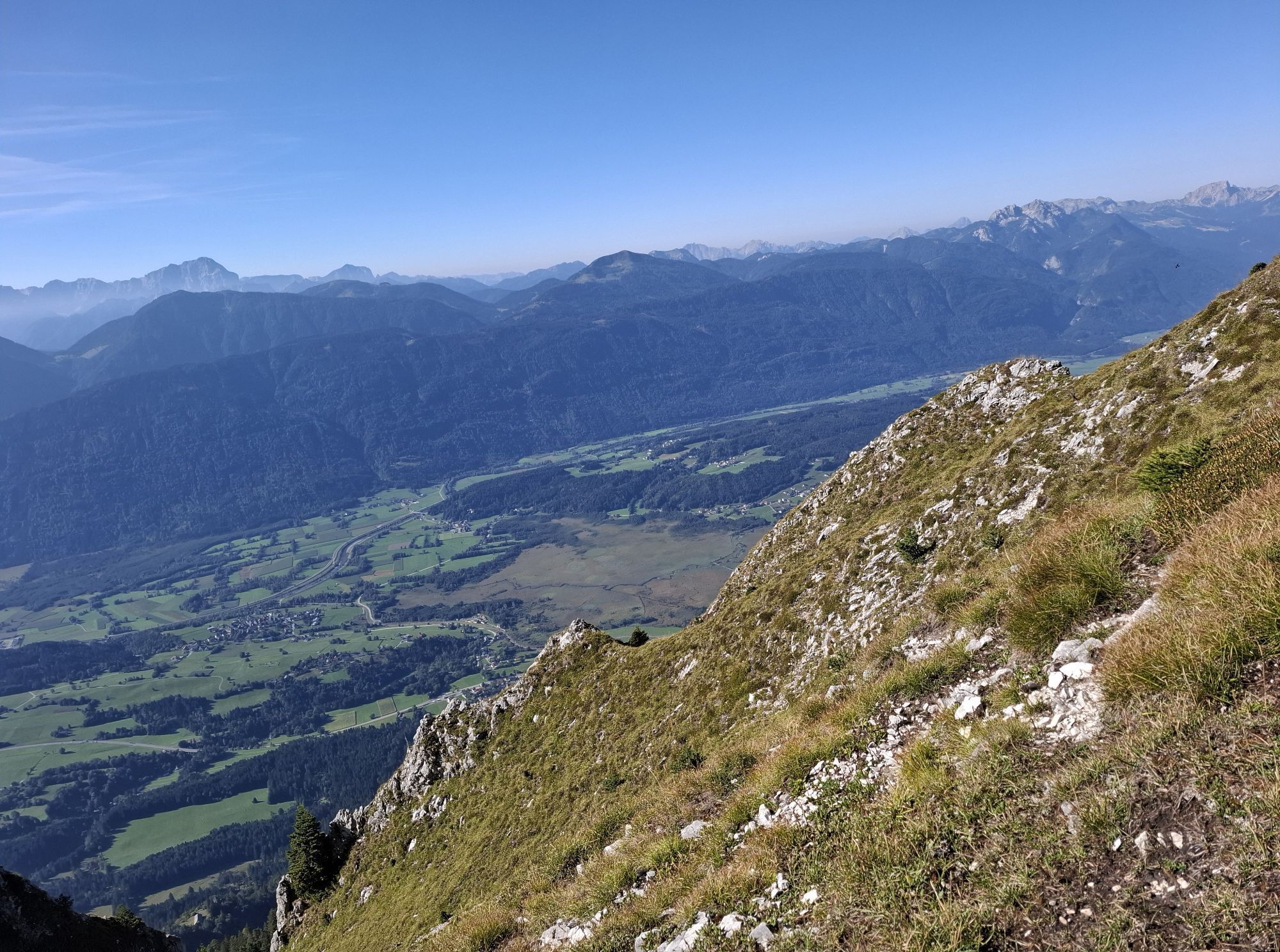
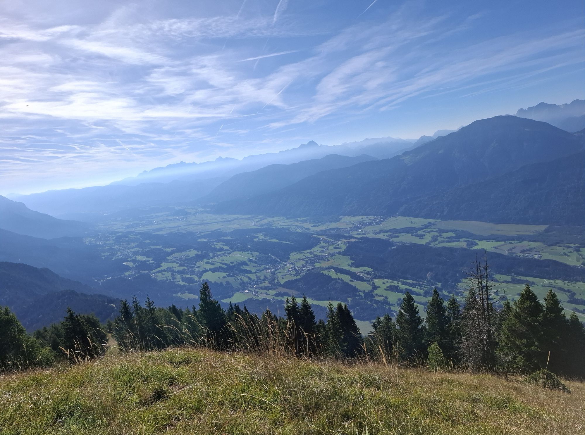
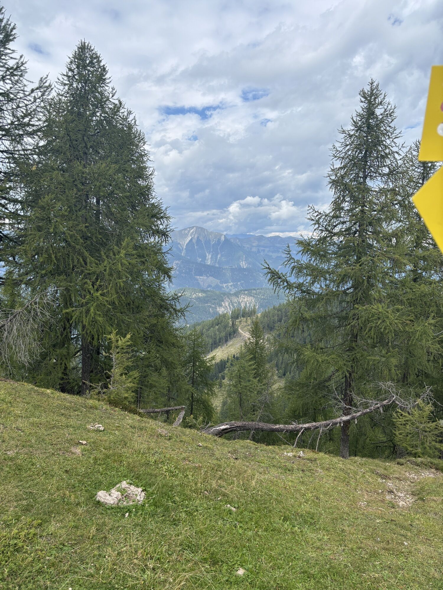
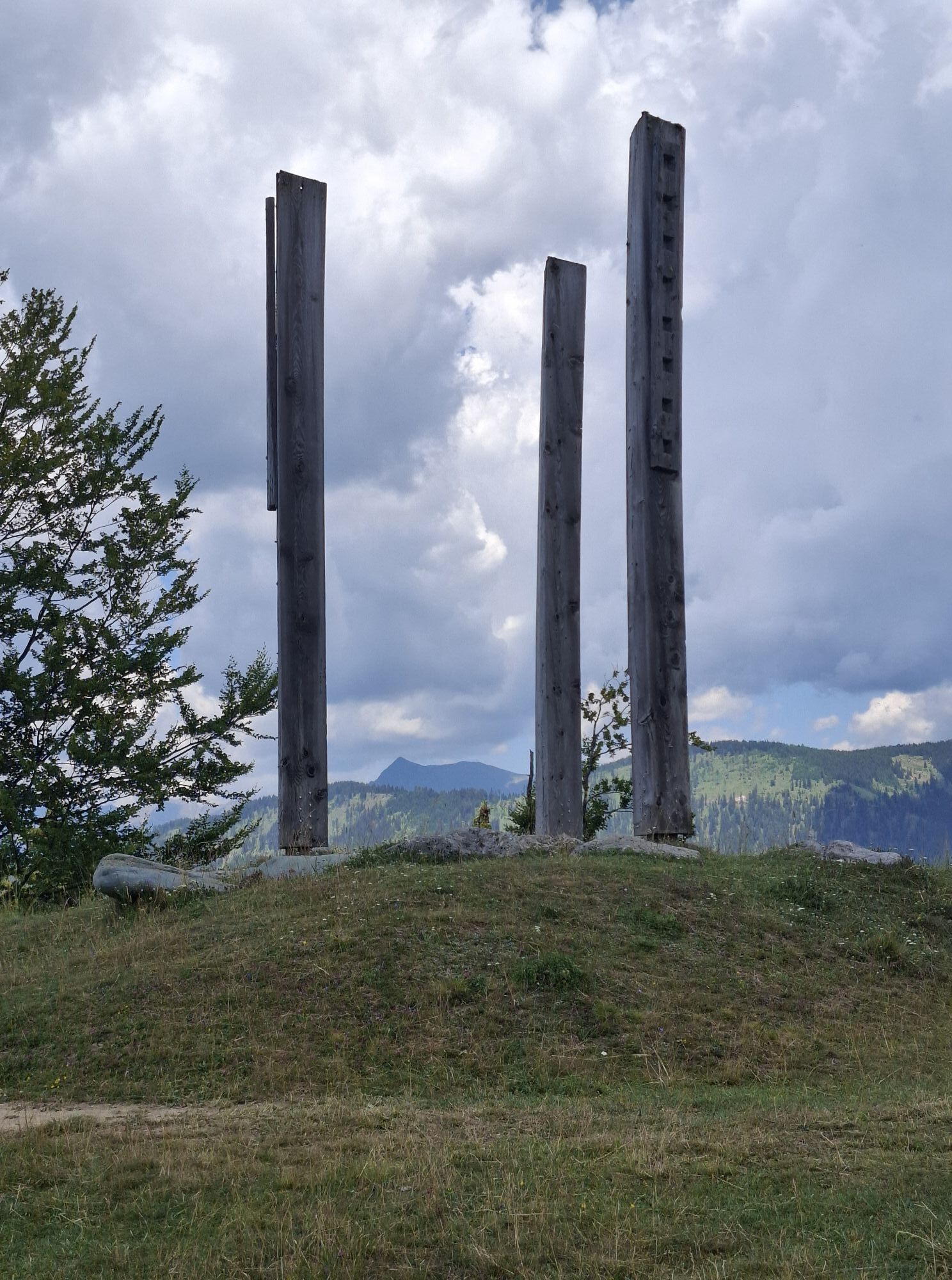
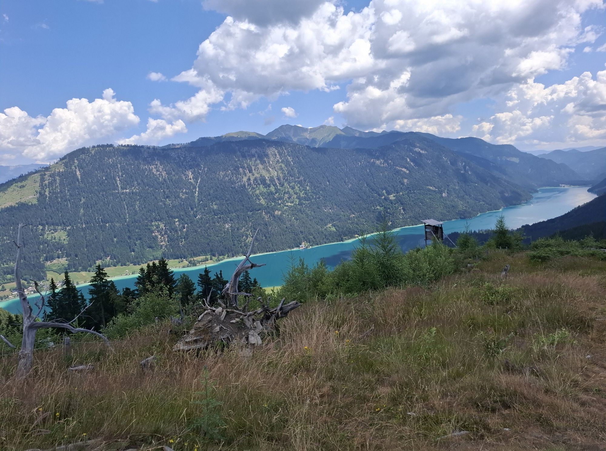
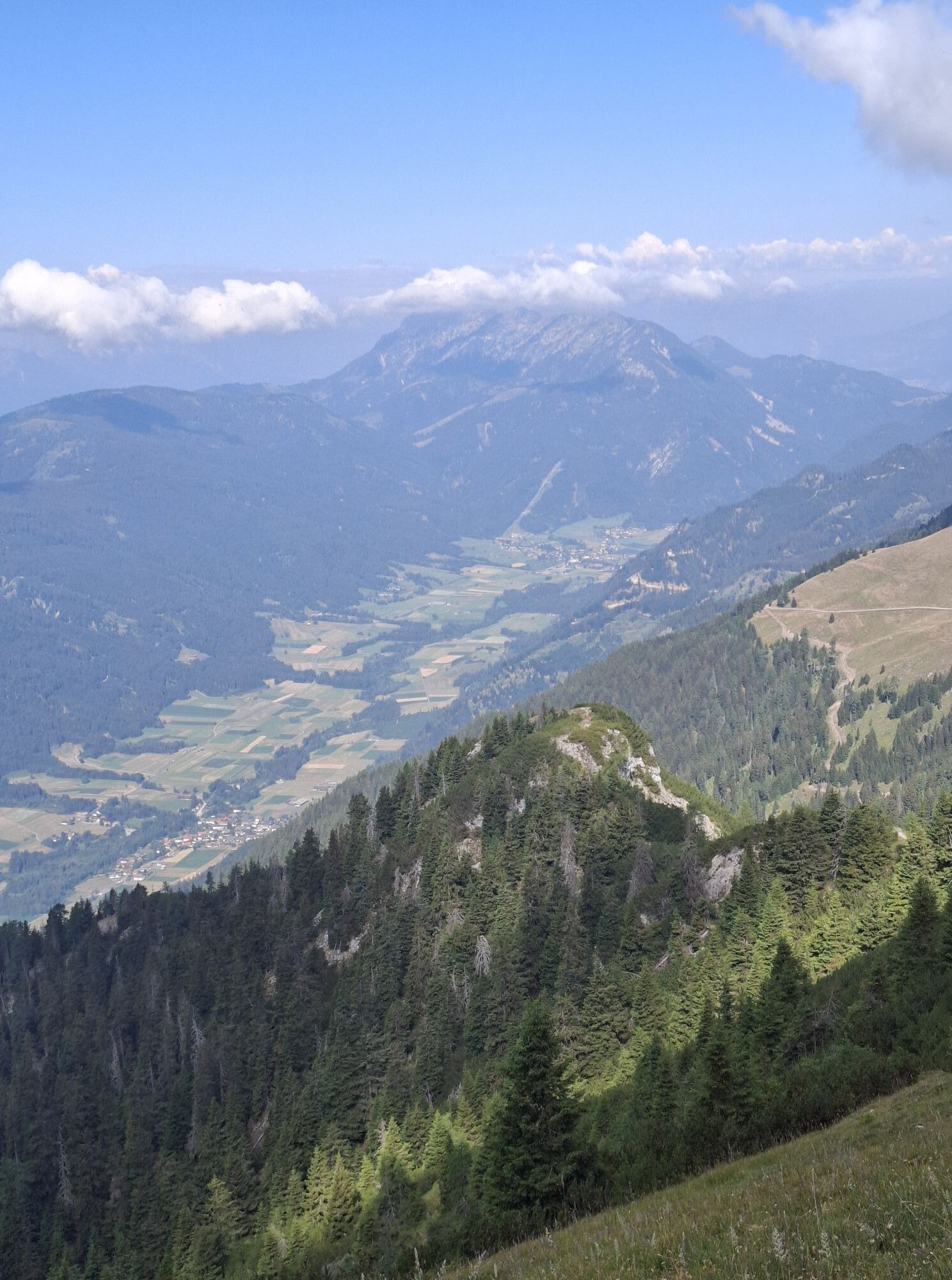
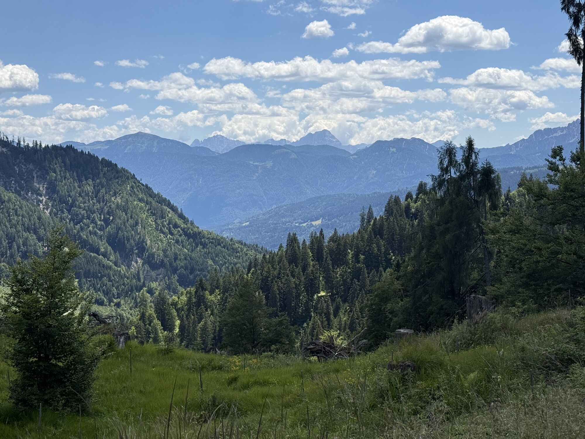
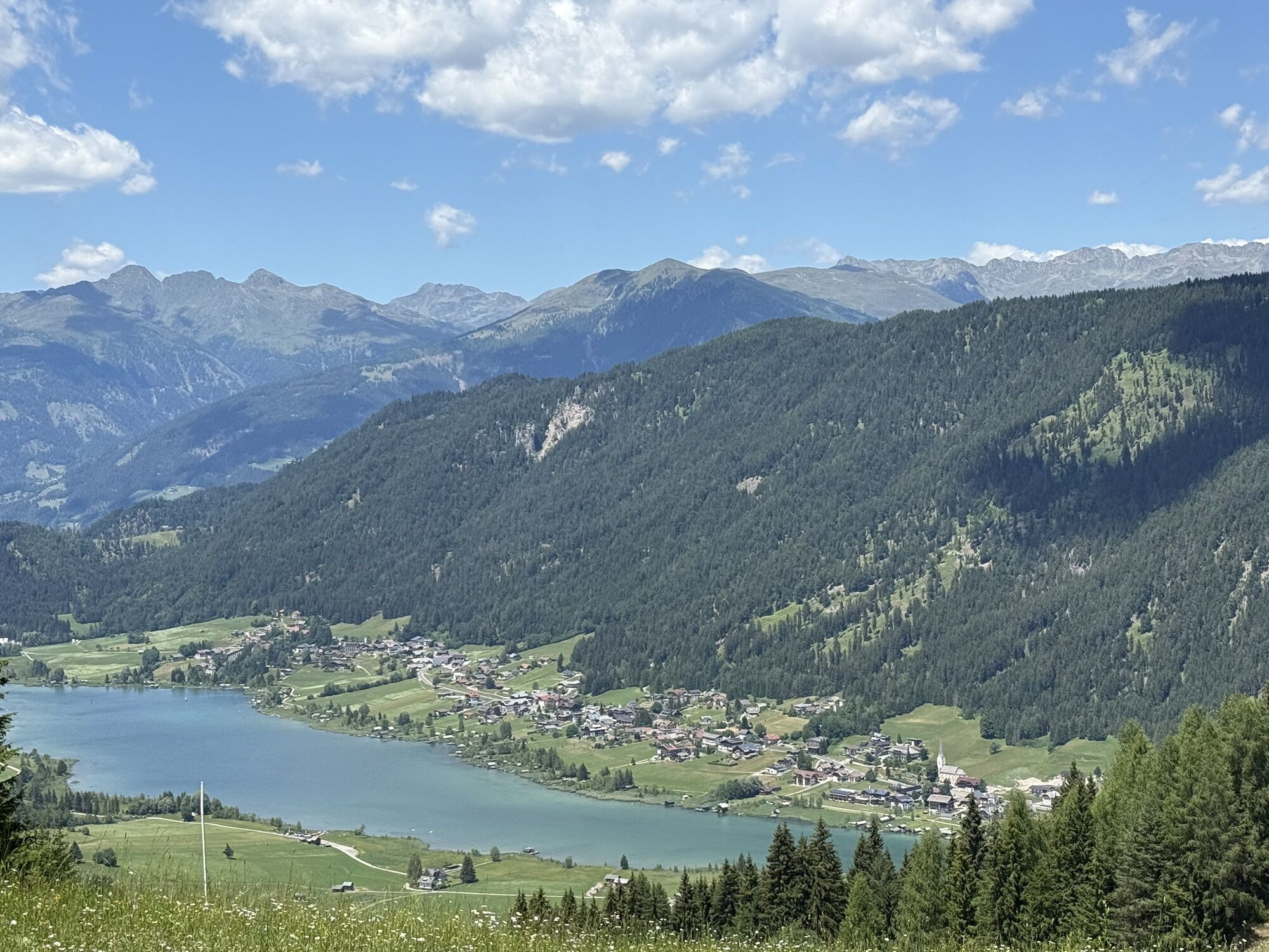
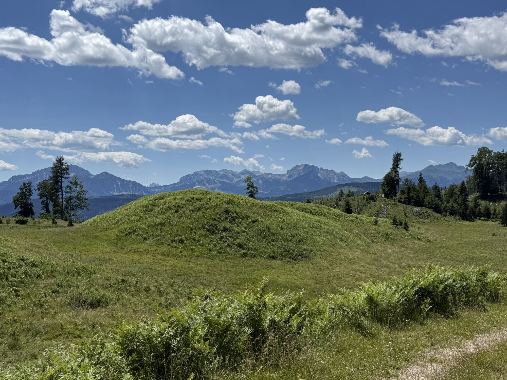
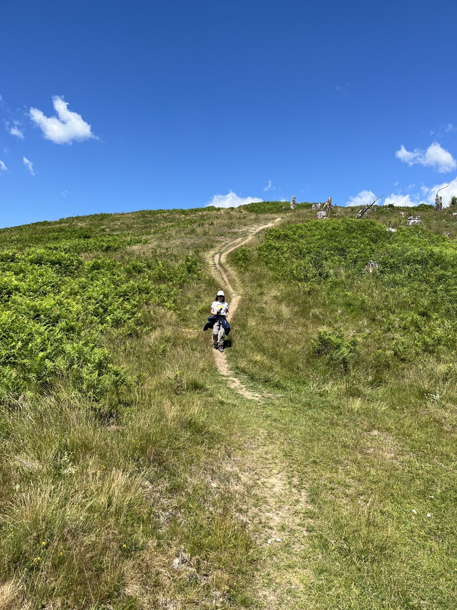
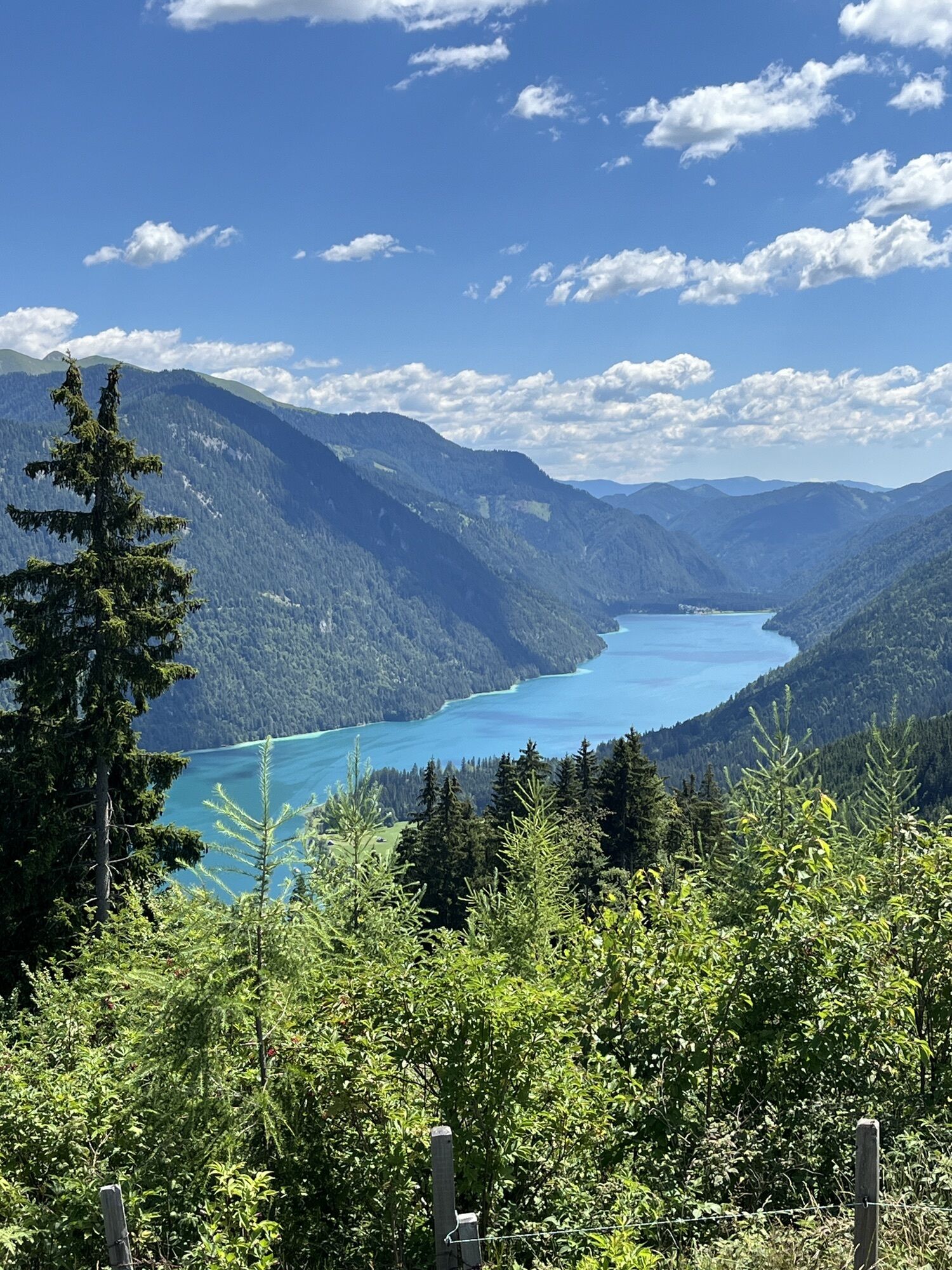
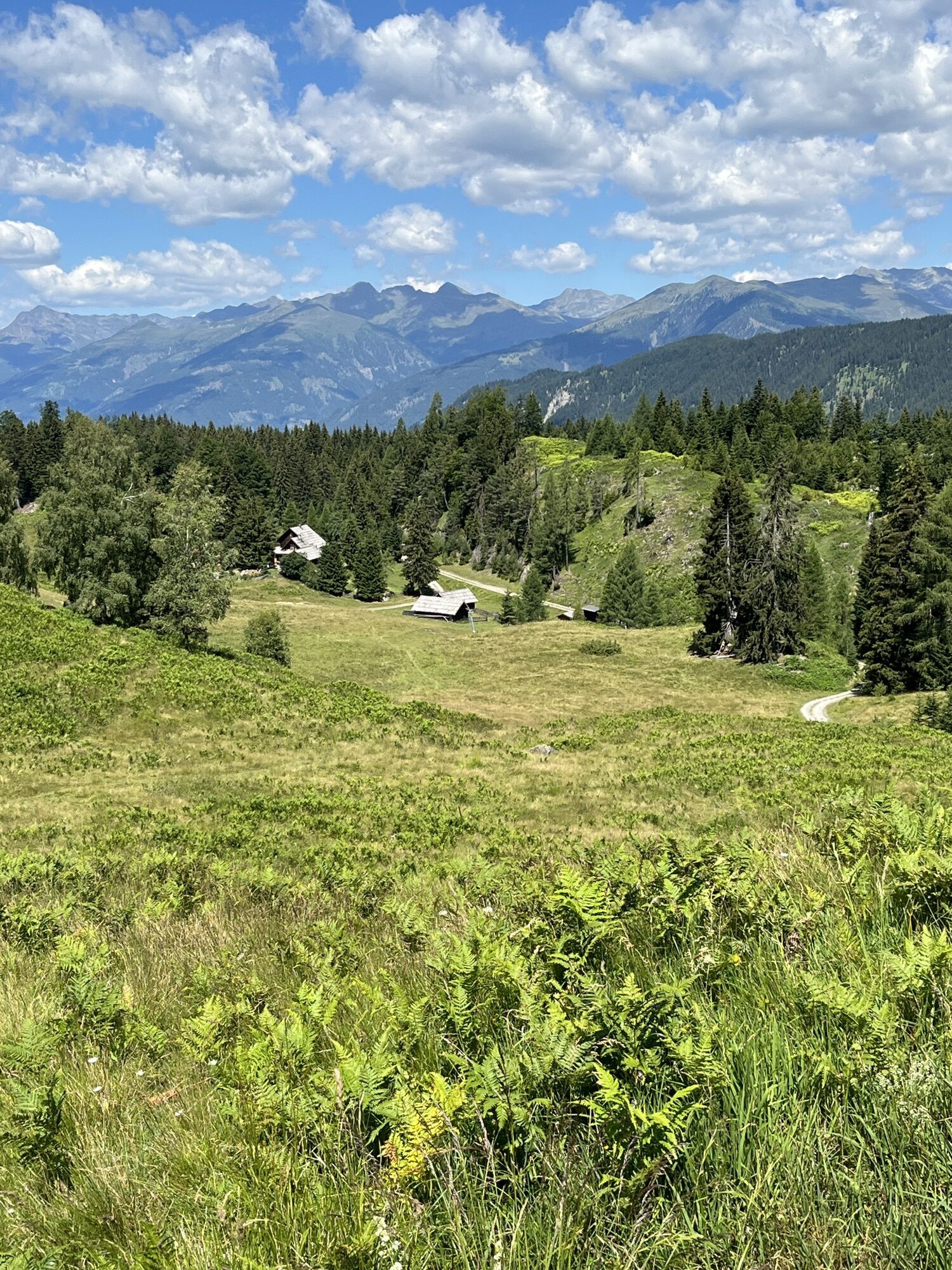
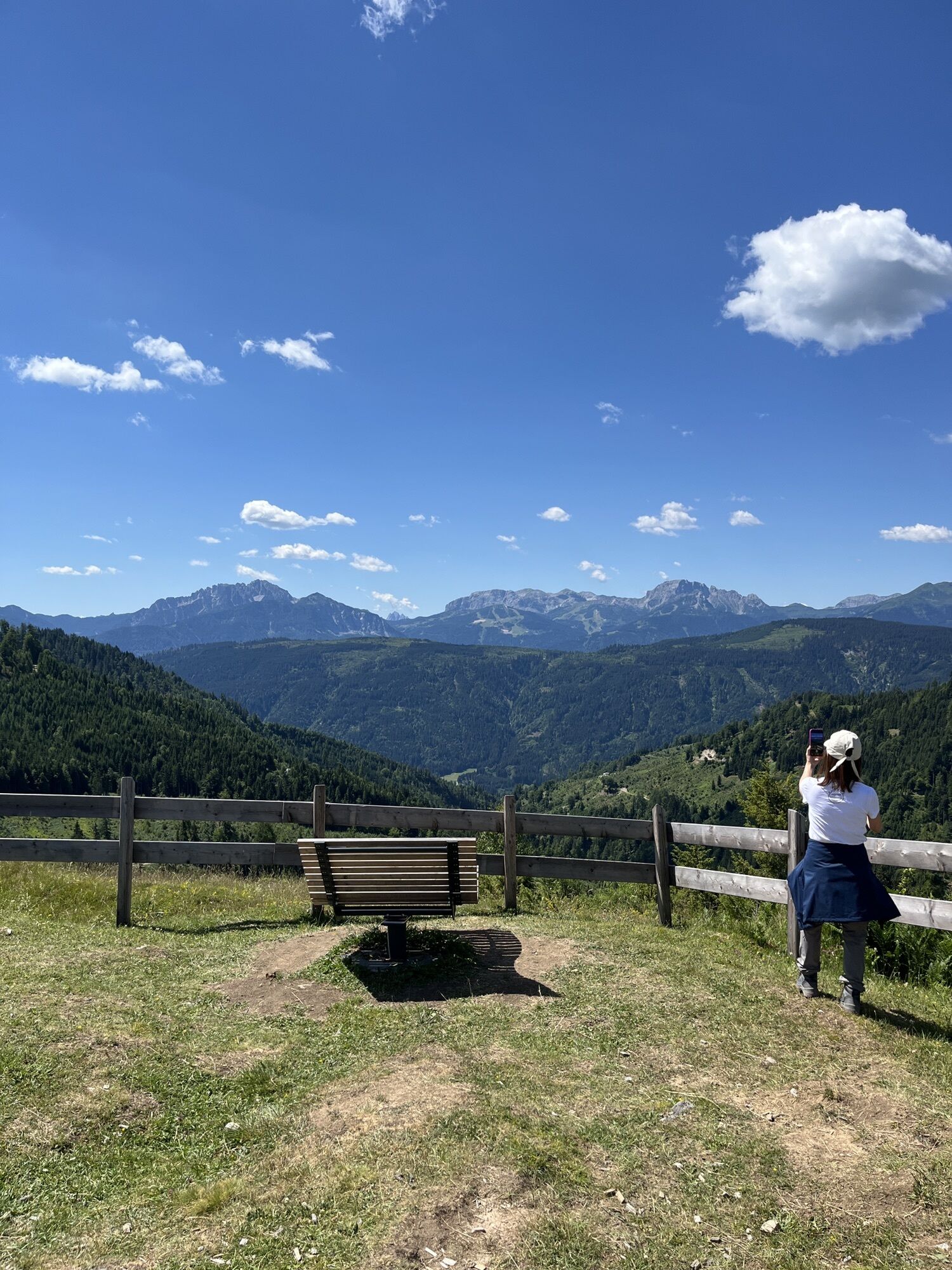
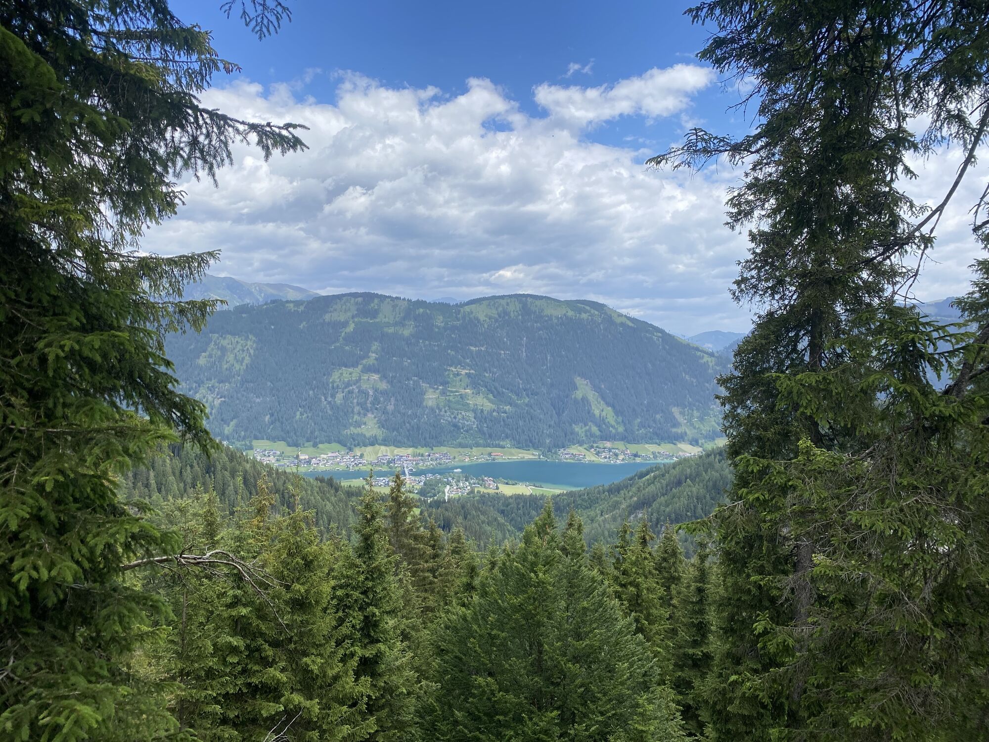
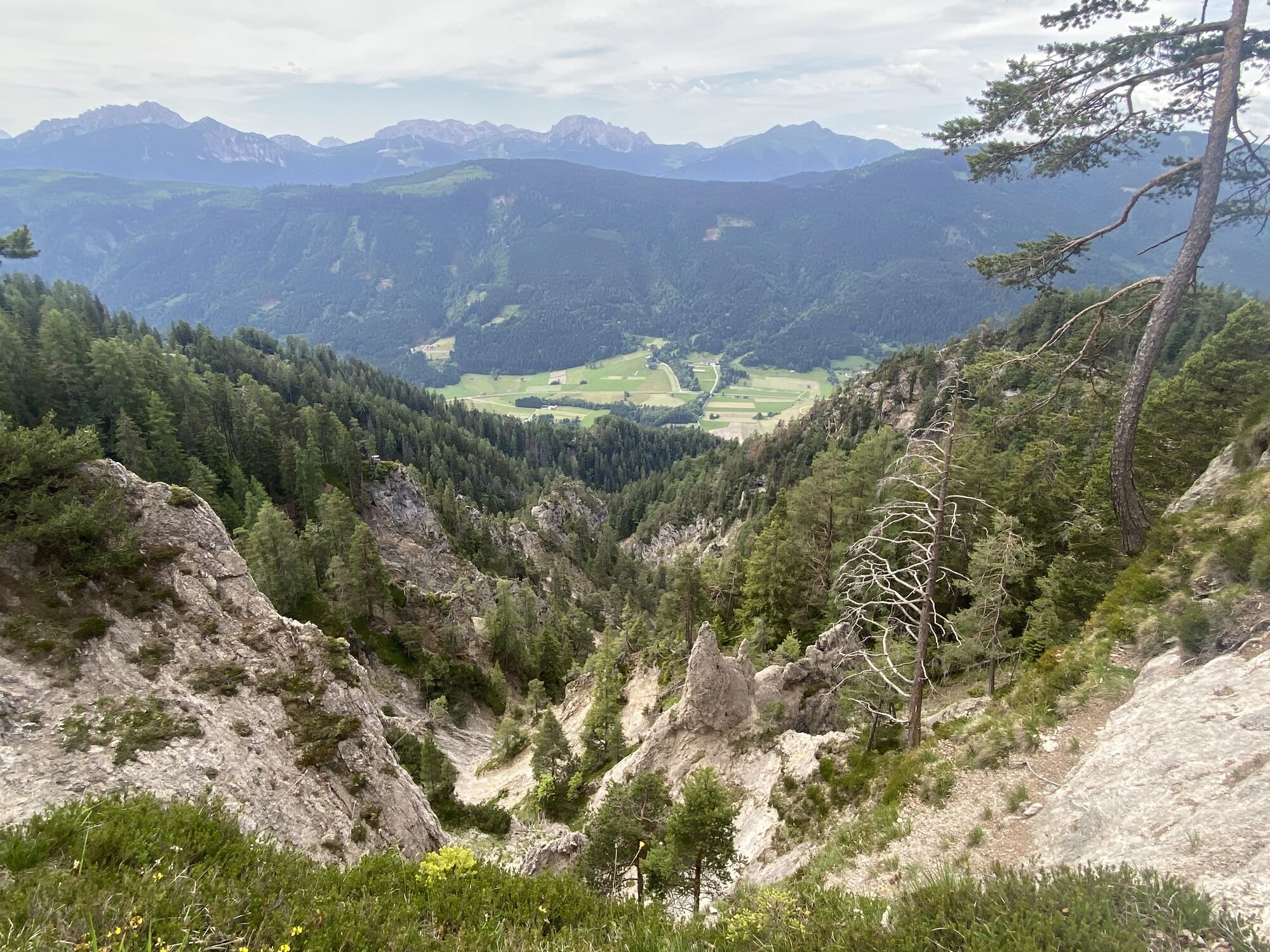
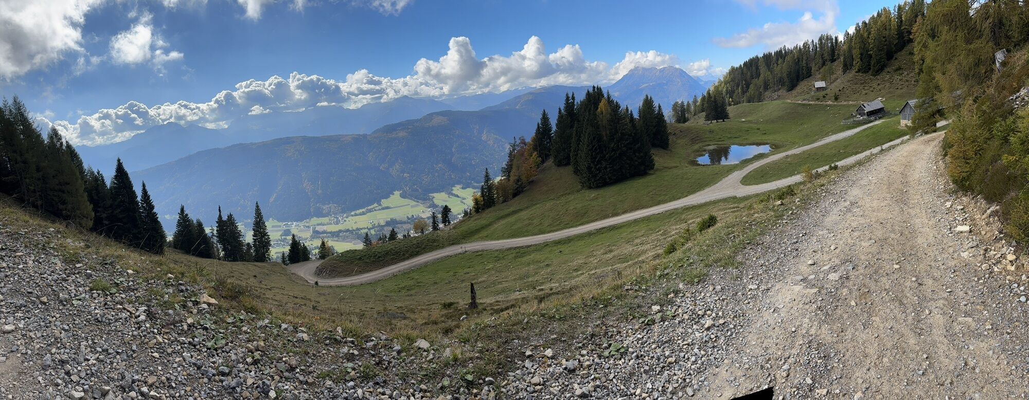
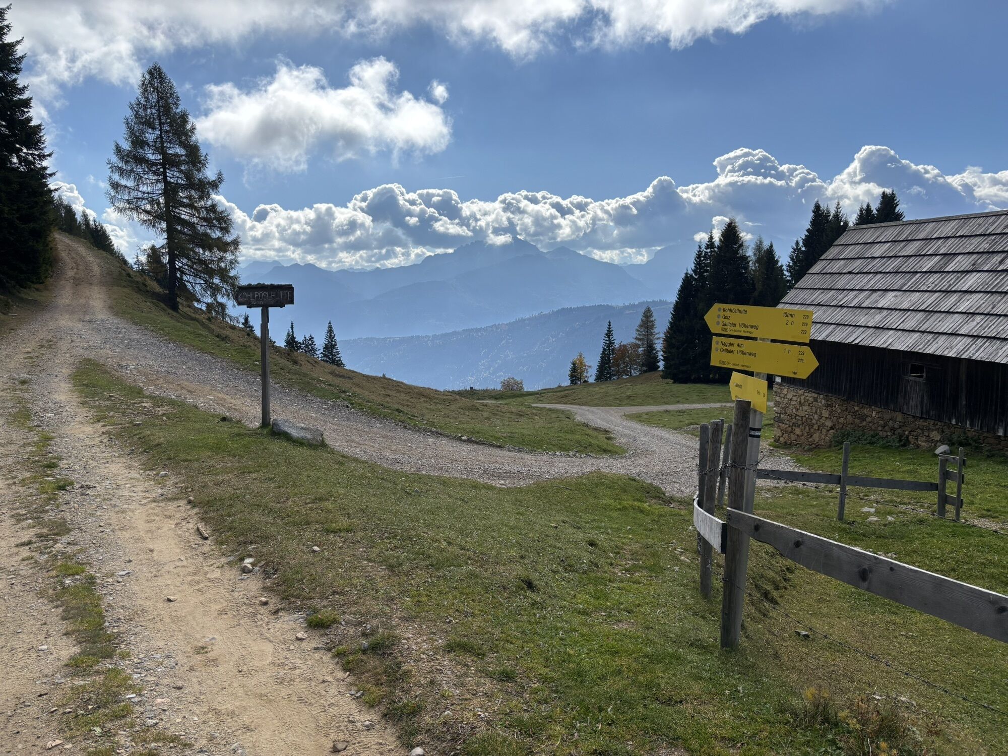
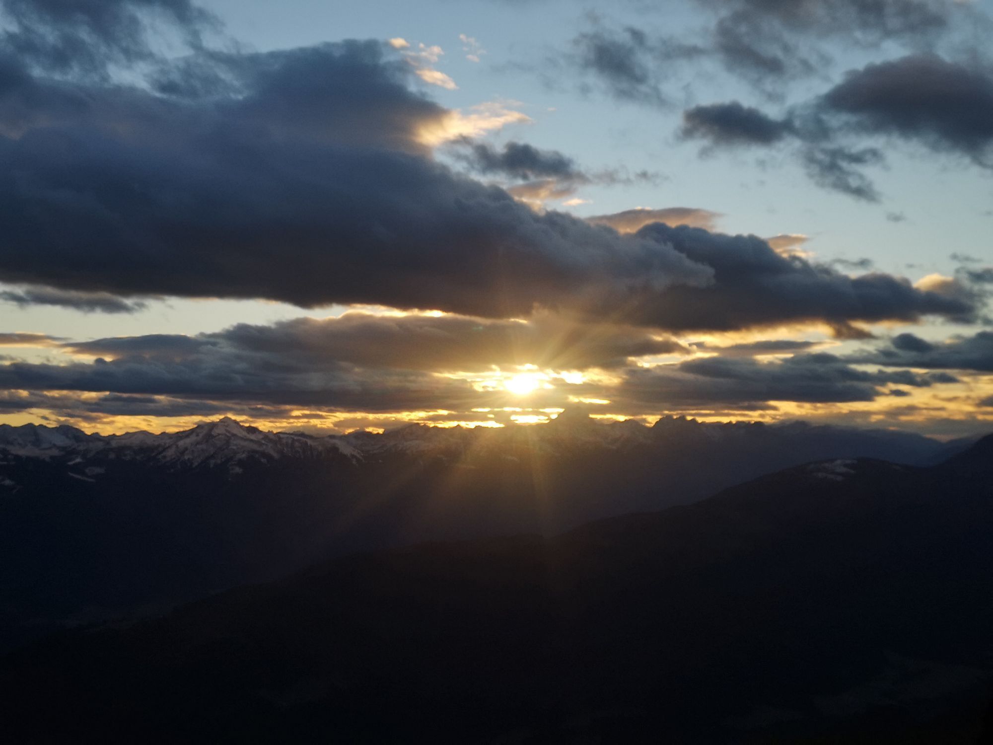
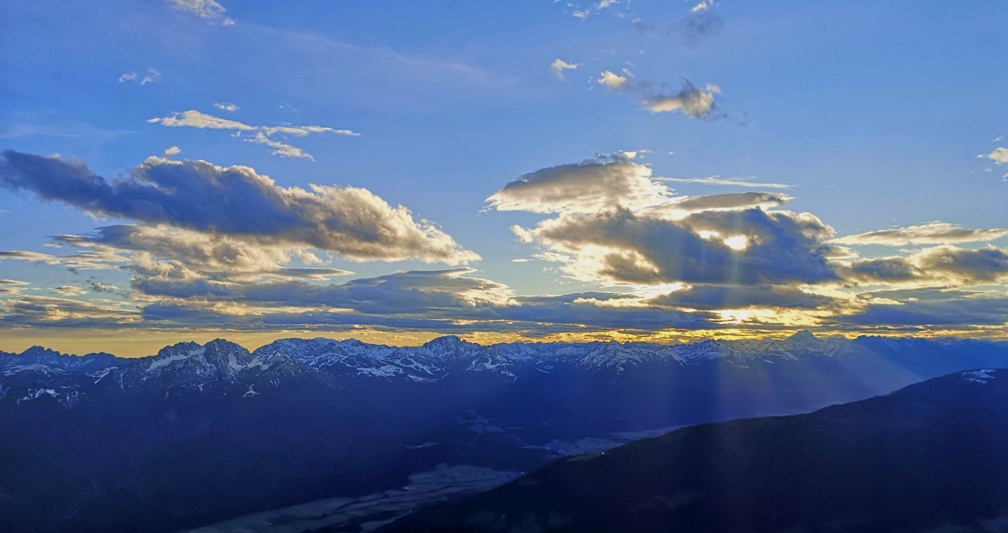

Although not as well developed as the Karnische Höhenweg (Carnic Highway), which runs across the Carnic Alps, this mountain range offers an incredible variety of natural beauty, unspoilt scenery and solitary...
Although not as well developed as the Karnische Höhenweg (Carnic Highway), which runs across the Carnic Alps, this mountain range offers an incredible variety of natural beauty, unspoilt scenery and solitary peaks. Because of the few high alpine huts and overnight accommodation facilities, an ascent and descent at the beginning and end of a stage is necessary.



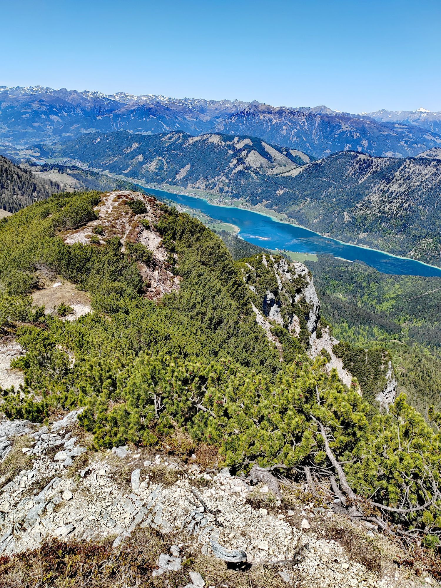
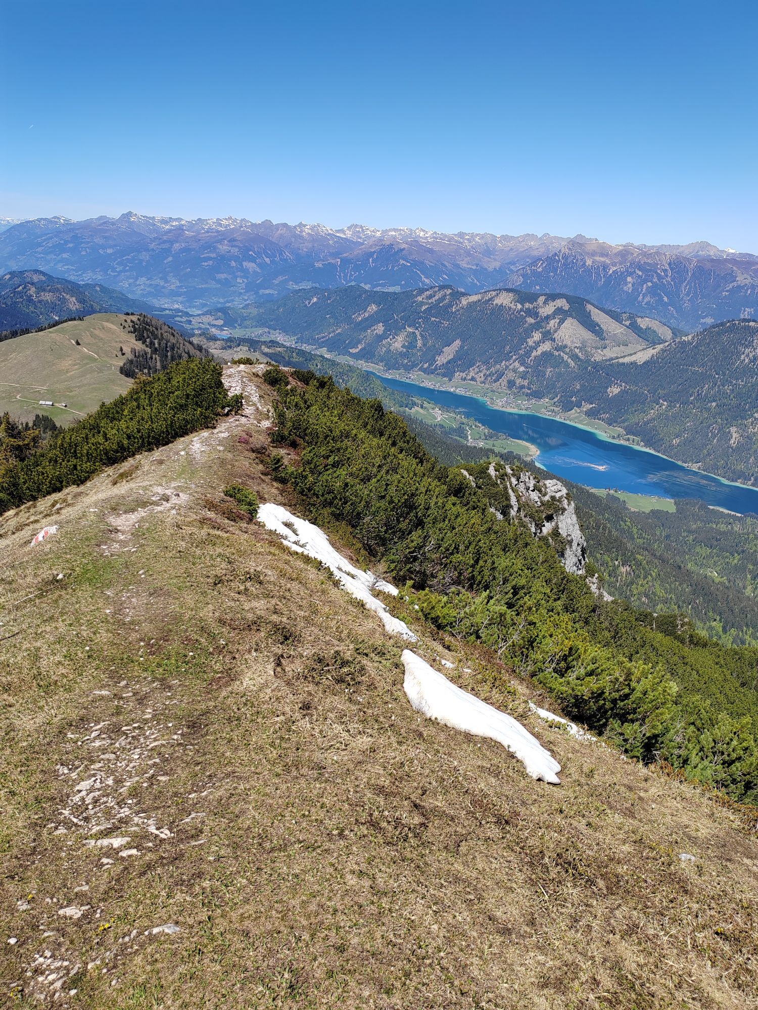
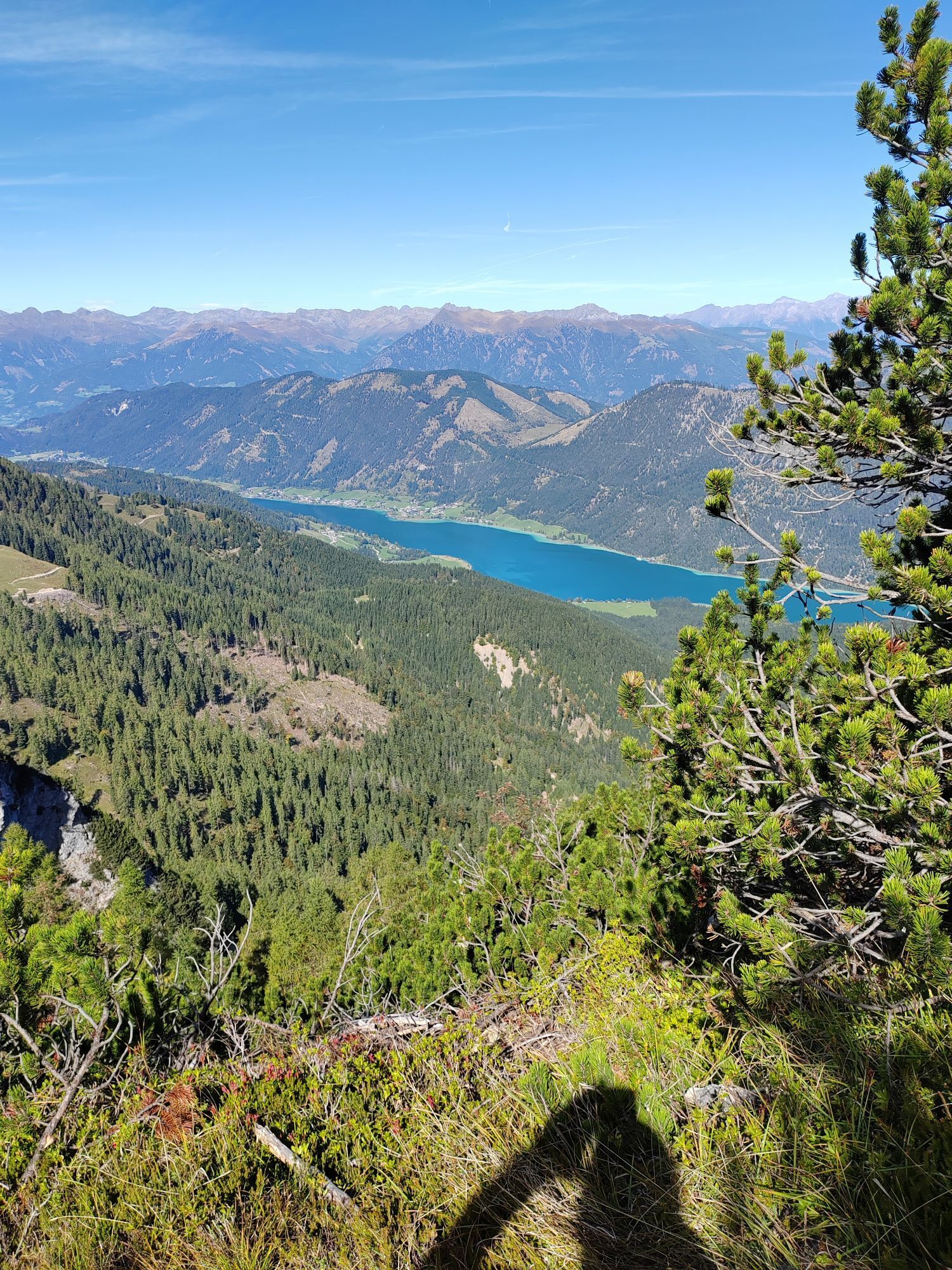
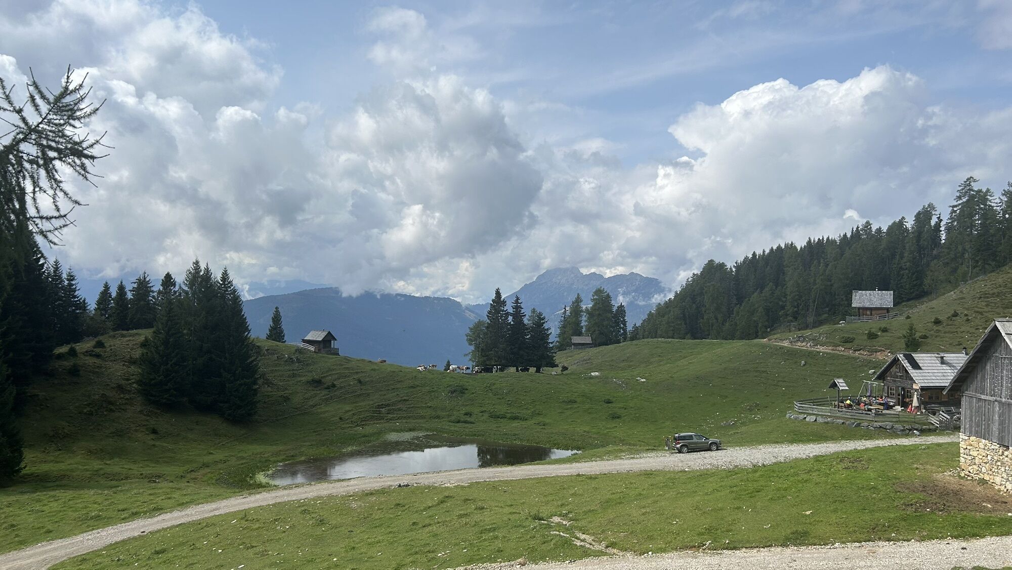
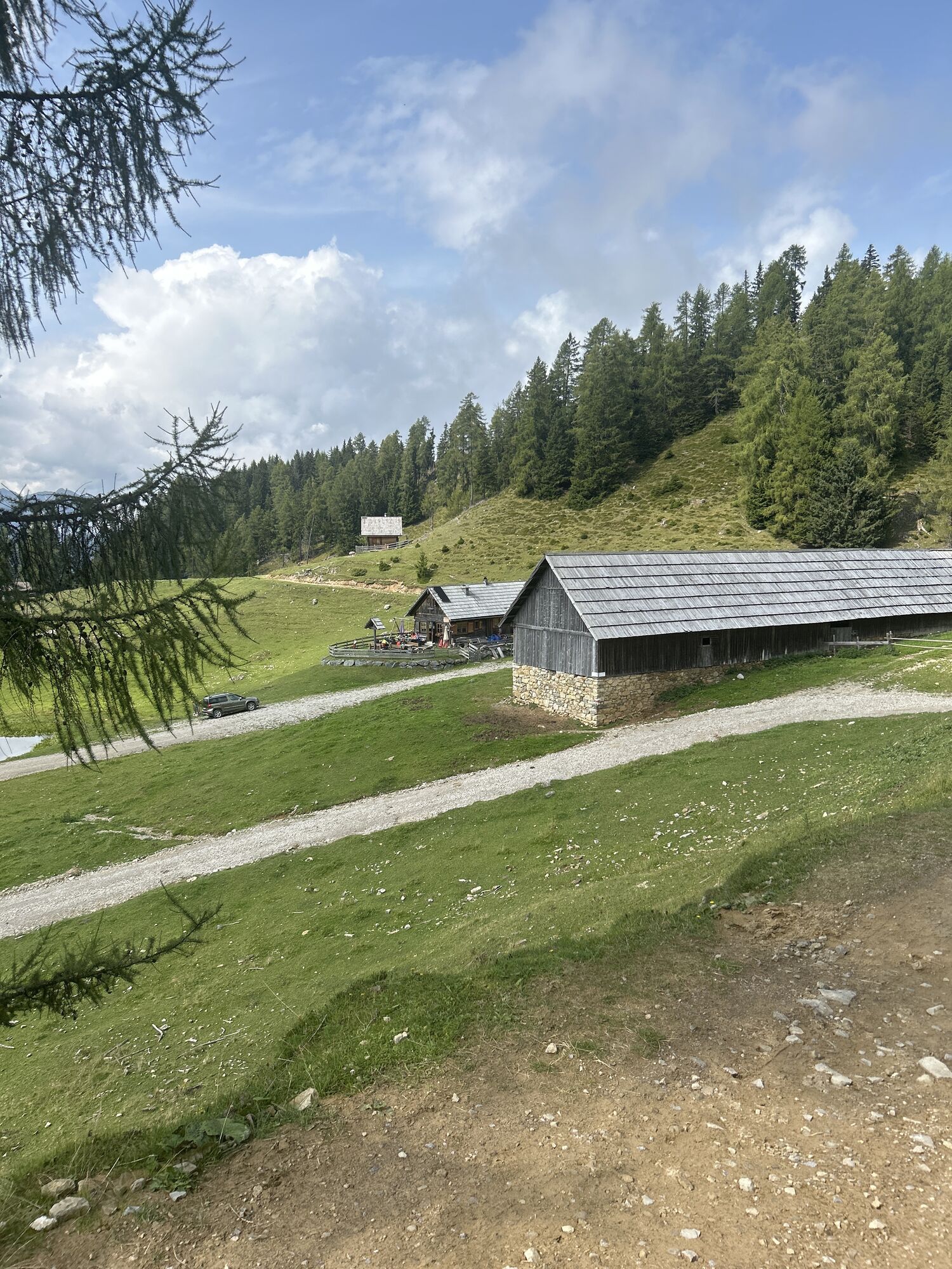
From Weißbriach (open-air swimming pool) trail mark 229 or no. 17 of the municipality of Gitschtal via Moosmüller and Memmer Alpl to the Mittagsnock, 1473 m (2½ hrs). Continue to the Naggler Alm, 1324 m (¾ hrs) and via the Jadersdorfer Ochsenalm to the Kohlröslhütte, 1523 m (1¼ hrs). Via the St. Lorenzer Hochalm ascent to the Golz, 2004 m (1¾ hrs.). Descent to the Radniger Alm, 1554 m (¾ hrs., possibility to descend to Radnig via trail 246). On the Gailtaler Höhenweg 229 via the Möschacher Alm to the Obervellacher Alm - Laudinzenhaus, 1676 m (1 hour, trail 248 from Obervellach).
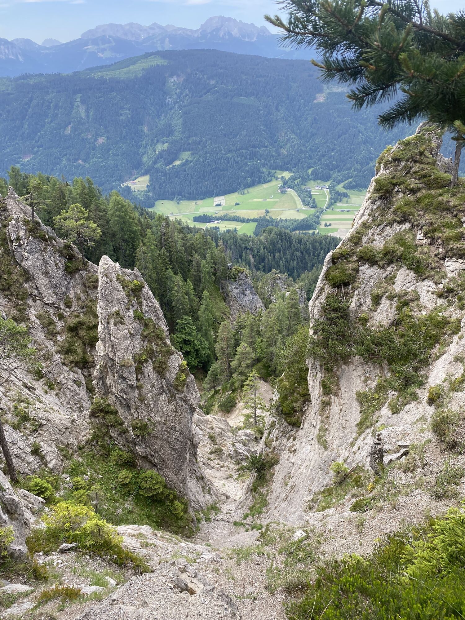
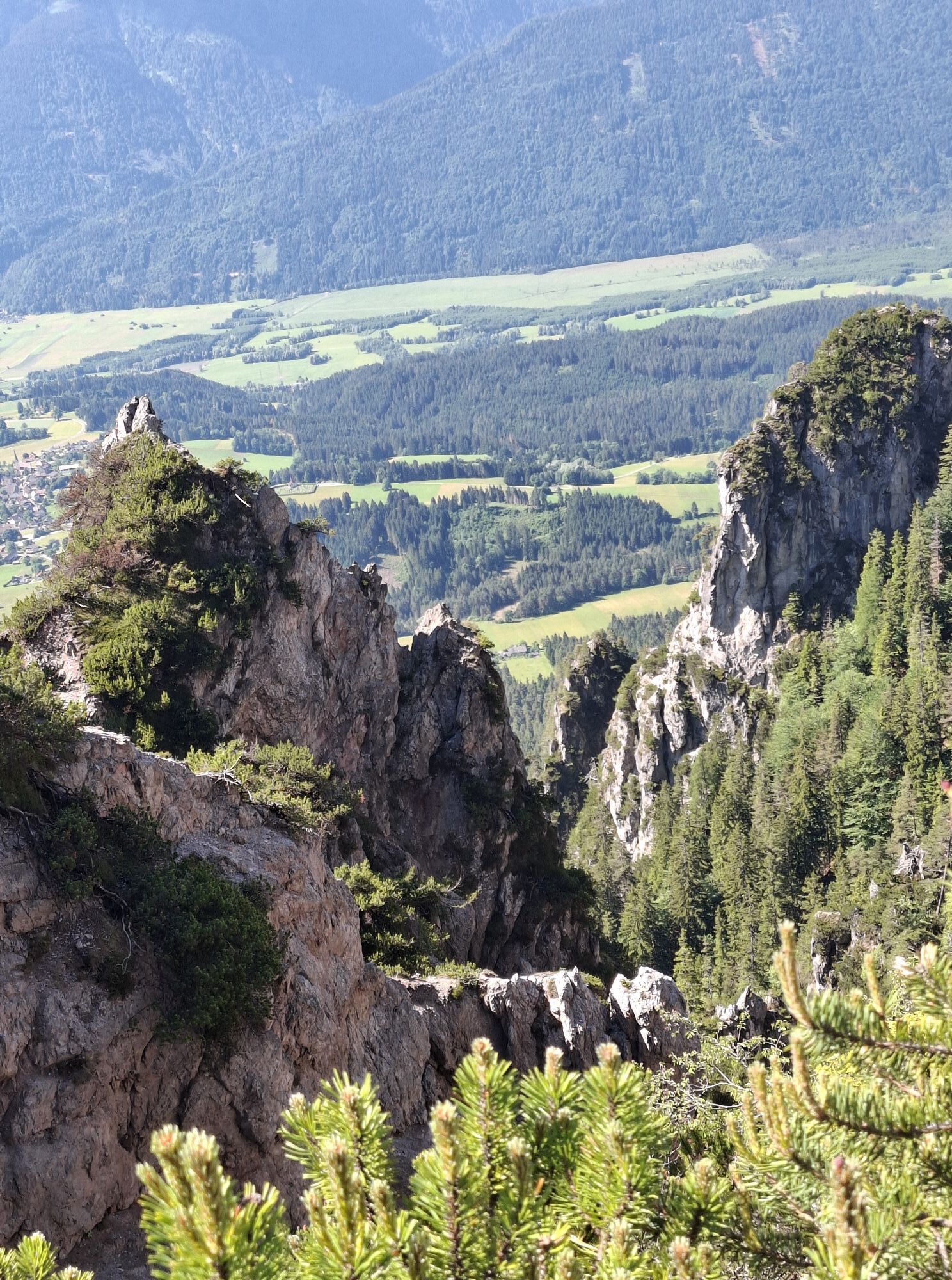
Further ascent to the Spitzegel, 2119 m (1 hour), at last only for experienced, sure-footed and vertigo-free hikers (for the ascent to the Spitzegel see also trail 248). The further path over the Spitzegel ridge to the Vellacher Egel (2108 m) is also long and demanding (1 - 1½ hrs, airy climbing passages).
Possibility to acquire the Spitzegelgrat mountaineer badge at the Schluga campsite in Obervellach and Presseggen.
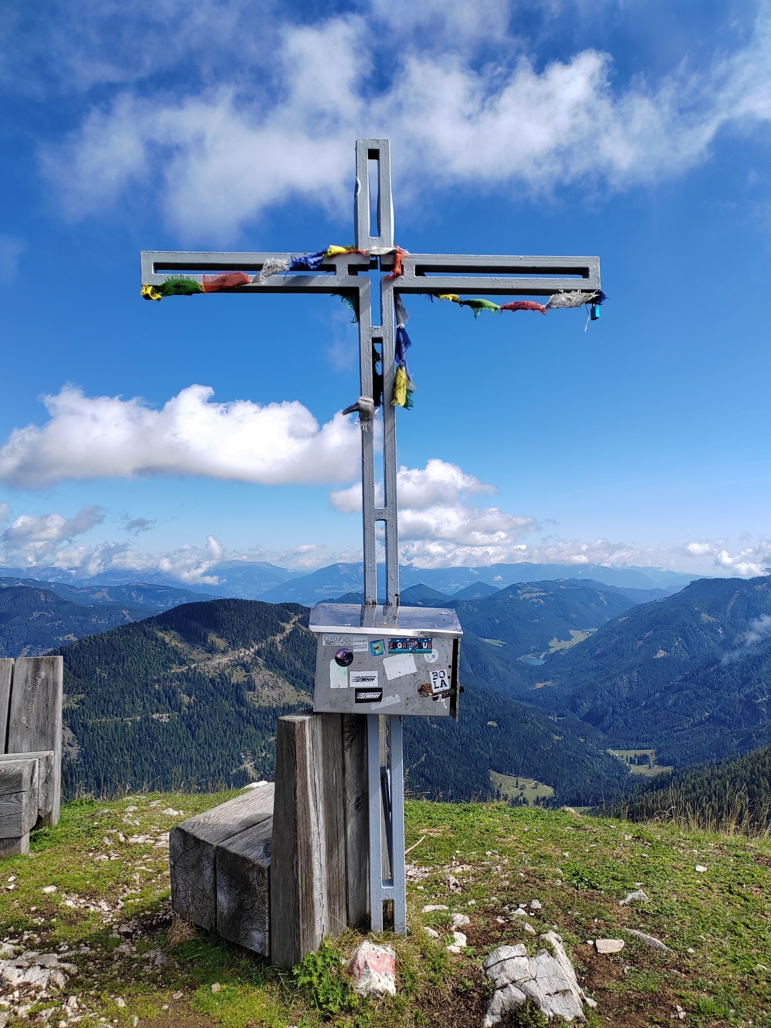
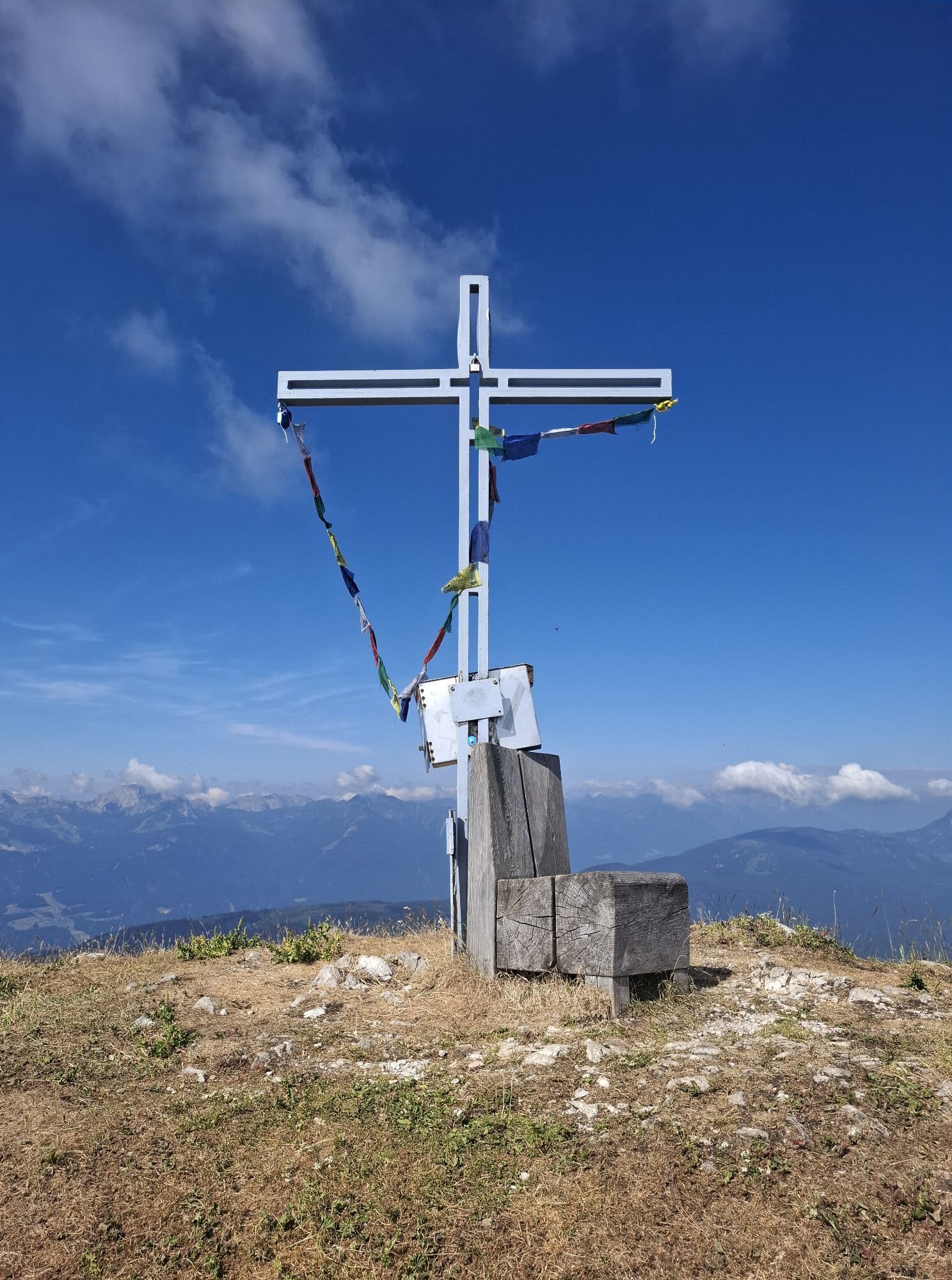
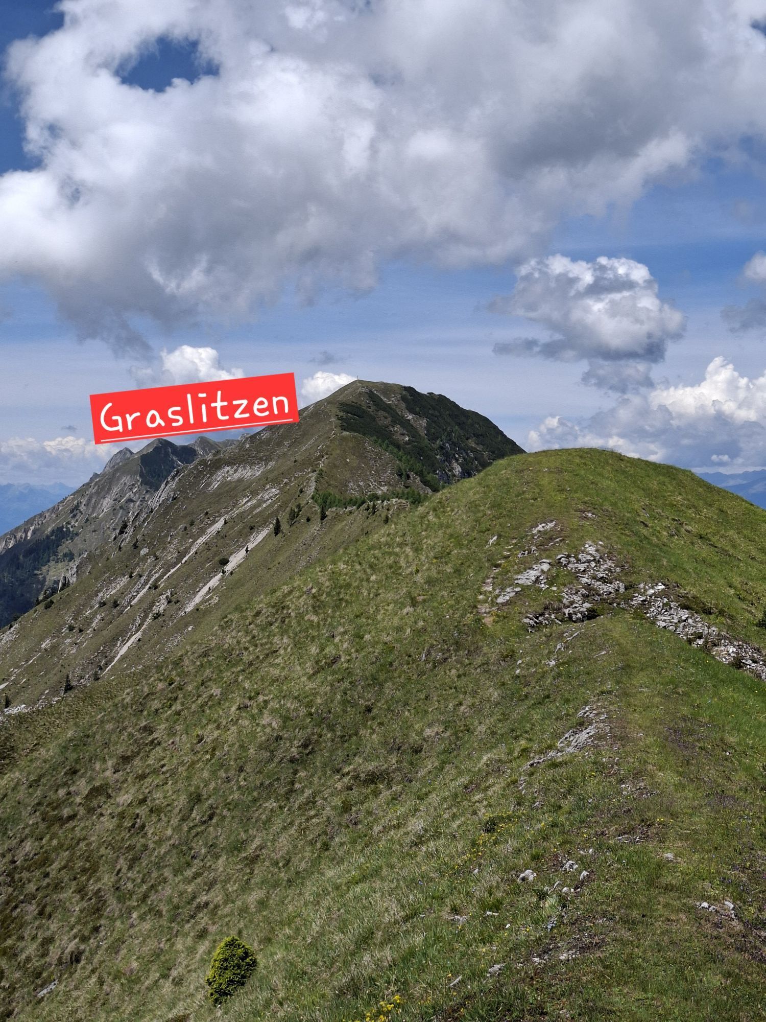
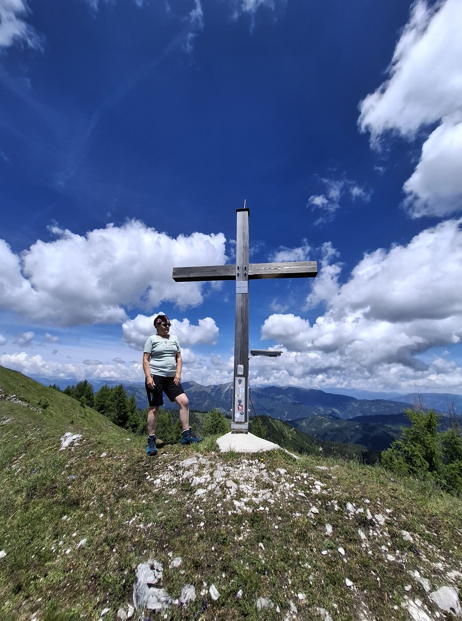
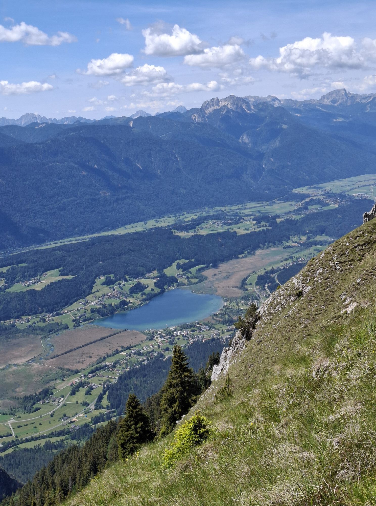
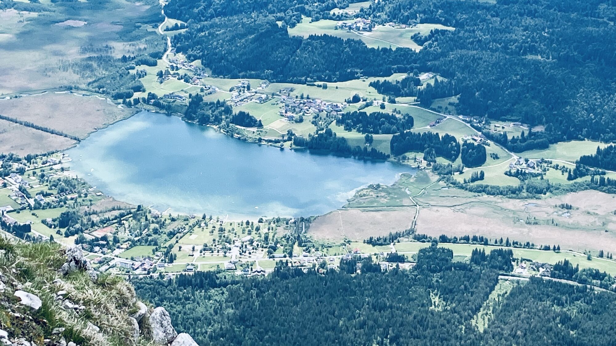
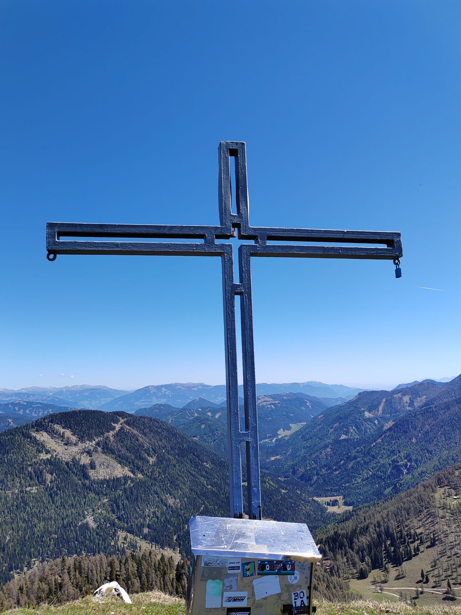
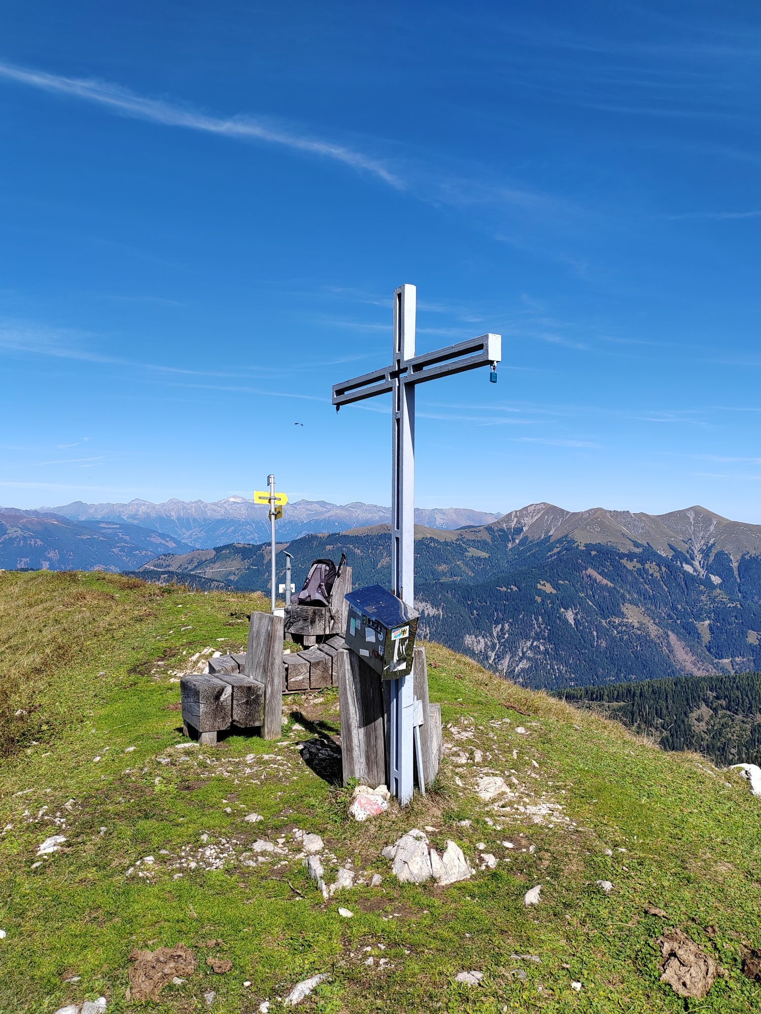
From the Vellacher Egel steep descent to the Vellacher Sattel, 1858 m (¾ hrs, possibility to descend to the Pressegger See or to Khünburg via trail 249). The Gailtaler Höhenweg 229 now crosses the steep, rocky southern slopes of the "Plerscha" to the Förolacher Sattel, 1840 m (¾ - 1 hrs.), from there in ¾ hrs. to the Graslitzen, 2044 m (large summit cross, wonderful view). From the Graslitzen we walk along the ridge to its eastern summit, 1932 m (¾ hrs) and via the Köstendorfer Alm down to the Geißrücken, the Blümelhütte or Georgikapelle, 1464 m (1 hrs). The last section of the trail now continues on comfortable forest paths, after a short ascent (½ hrs.) finally downhill to the Windische Höhe (1 hrs.).
Sturdy footwear (hiking boots or mountain boots) (Hiking) Clothing for all weather conditions: rain gear, hats, gloves, ... (according to the season) First aid kit Money Mobile phone or radio Hiking maps Backpack Sun protection and sunglasses Flashlight or headlamp Catering (drinks, water bottles and food) Toiletries ev. hiking poles
Approach via the Weissensee federal road B86 to Weißbriach.
www.nassfeld.at/mobilitaet
At the swimming pool in Weißbriach
Webcams de la tournée
-
Weissensee
-
Stockenboi Ostufer
-
Hermagor - Presseggersee
-
Weissensee Bergbahn Bergstation
-
Strandbad Hermagor / Pressegger See
-
Weissensee Schifffahrt
-
Webcam - Ferienhotel Nagglerhof
-
EuroParcs Hermagor · Nassfeld
-
Apartments De Luxe Schluga / Schluga Strand
-
Schigebiet Weißbriach - Berggeisthütte
-
Seebrücke Weissensee
-
Seebrücke Weissensee
-
Strandhotel am Weissensee
-
Gasthof Waldemar

Parcours populaires à proximité
-
5,0
W10 - Grand parcours du lac - Weissensee
difficileVTT 31,5 km -
4,7
W5 - Circuit Naggler Alm Weissensee
moyenVTT 15,8 km -
4,9
Slow Trail Weissensee
moyenRandonnée 6,69 km -
4,5
RW_N9 Weißenbachklamm
moyenRandonnée 7,49 km -
4,9
Weissensee Ost- nach Westufer
facileRandonnée 10,2 km -
4,9
Parkplatz Seetal - STAFF und retour
moyenRandonnée 13,2 km -
4,8
Weiße Wand - Alm hinterm Brunn
VTT 22,1 km -
4,6
Bergstation Weißensee bis Golz
moyenRandonnée 14,8 km -
5,0
Bodenalm - Ostufer - mit dem Schiff zurück
VTT 19,1 km -
4,4
WY_W2 randonnée vers l'alpage derrière le Brunn
moyenRandonnées d'hiver 3,04 km
Randonnée et suivi


Ne manquez pas les offres et l'inspiration pour vos prochaines vacances
Votre adresse électronique a été ajouté à la liste de diffusion.





