


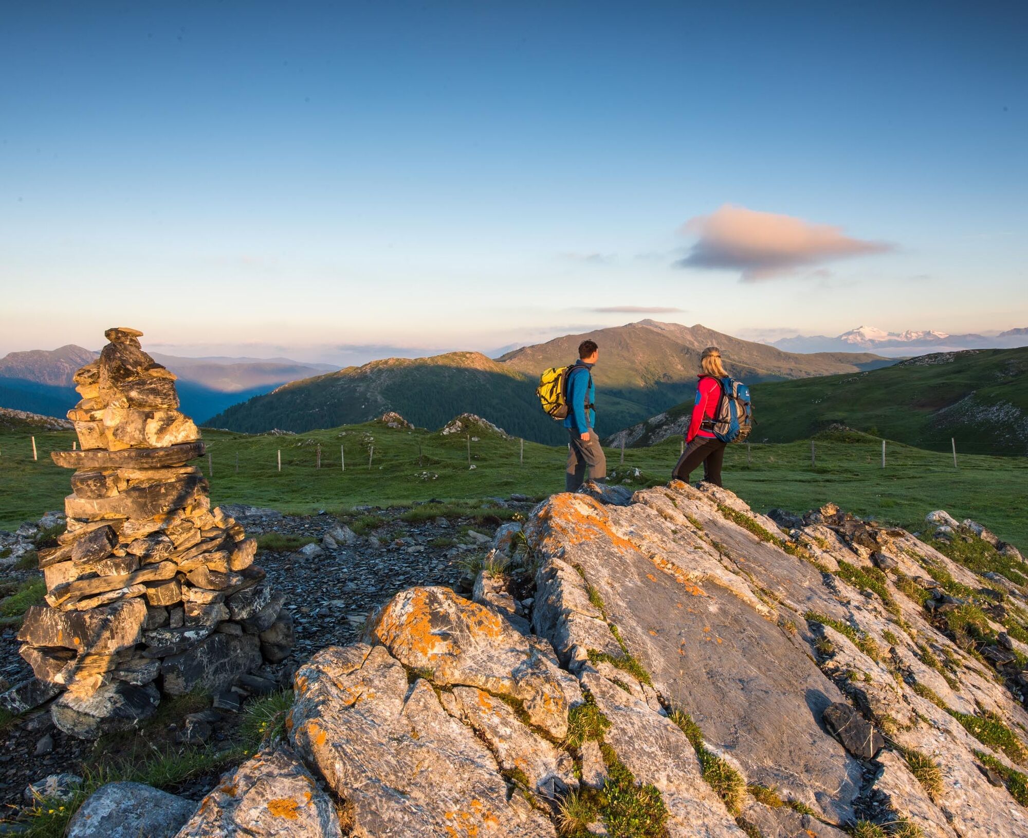
Nockberge-Trail: Hiking route stage 2
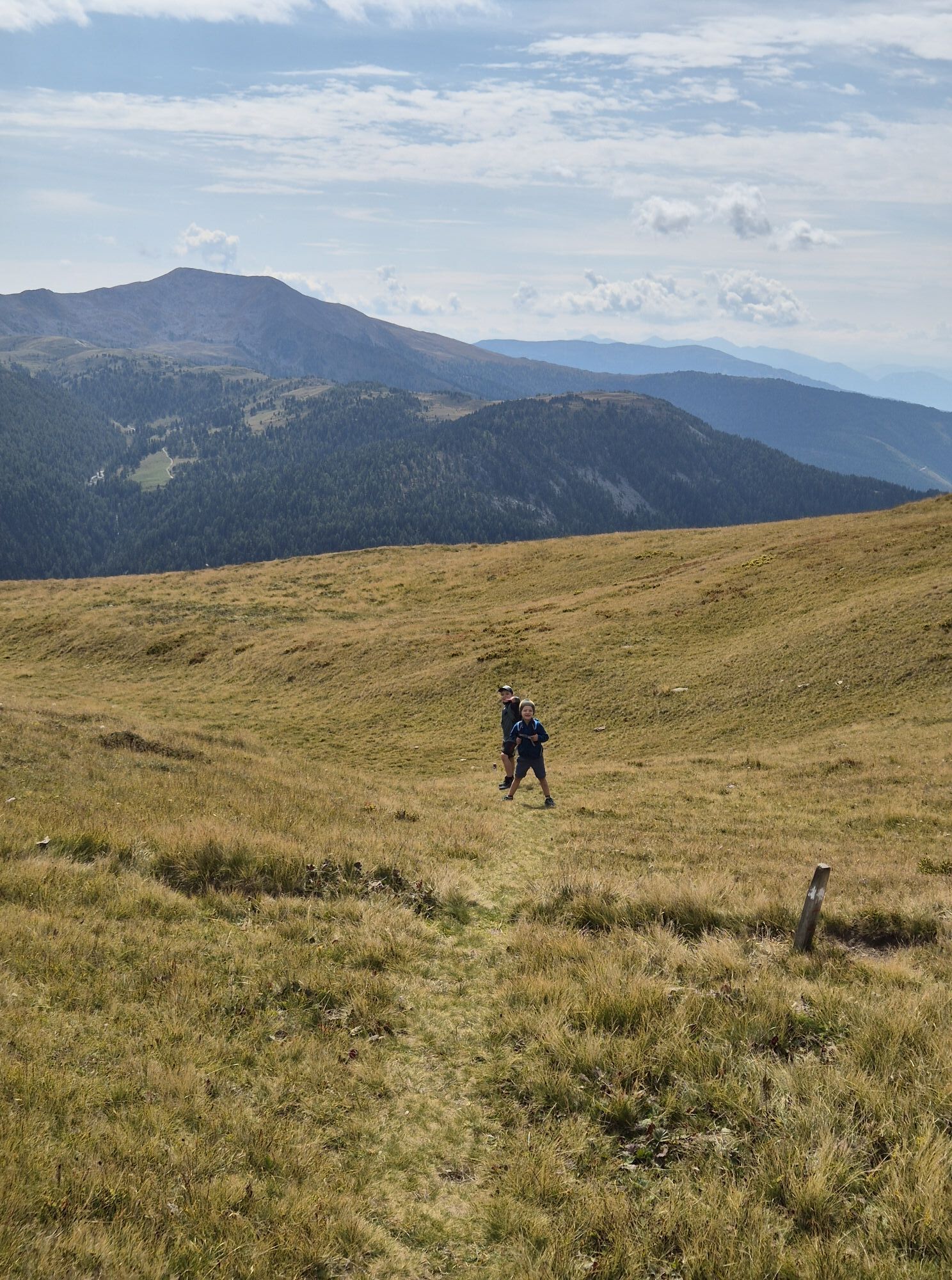
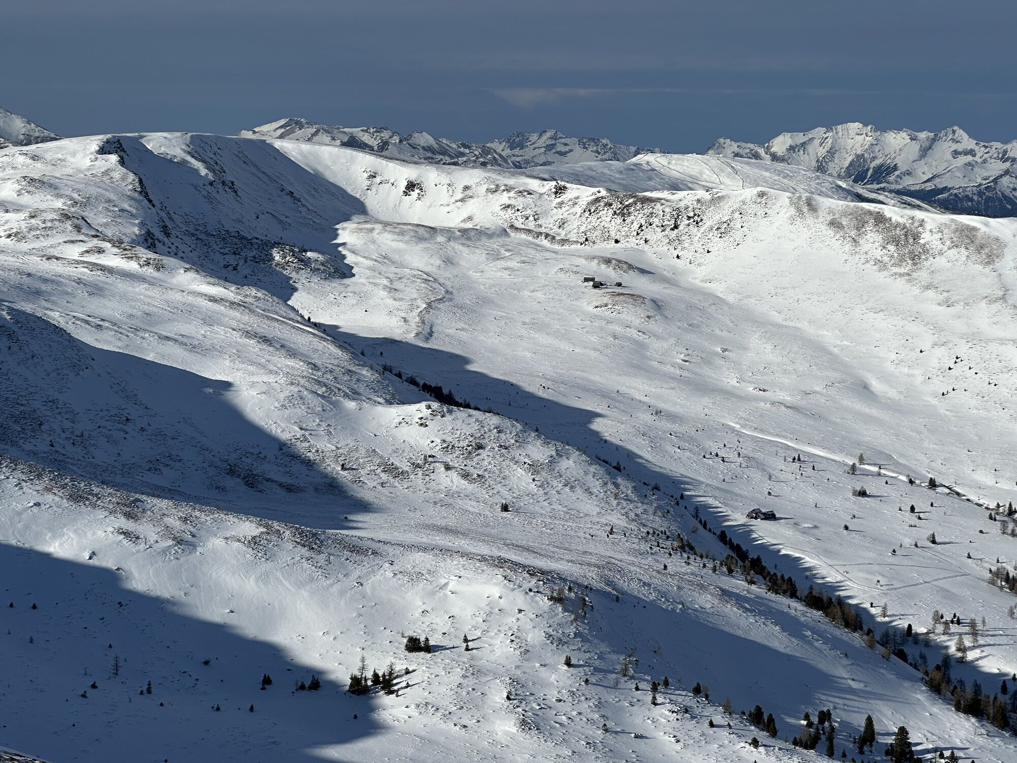
Mountains and lakes: Over four “chunks” and along small mountain lakes in Scandinavian-looking landscape to Innerkrems.

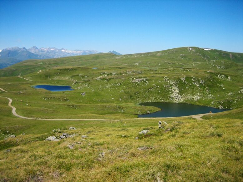


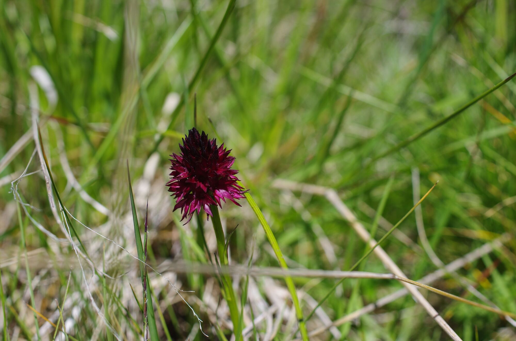

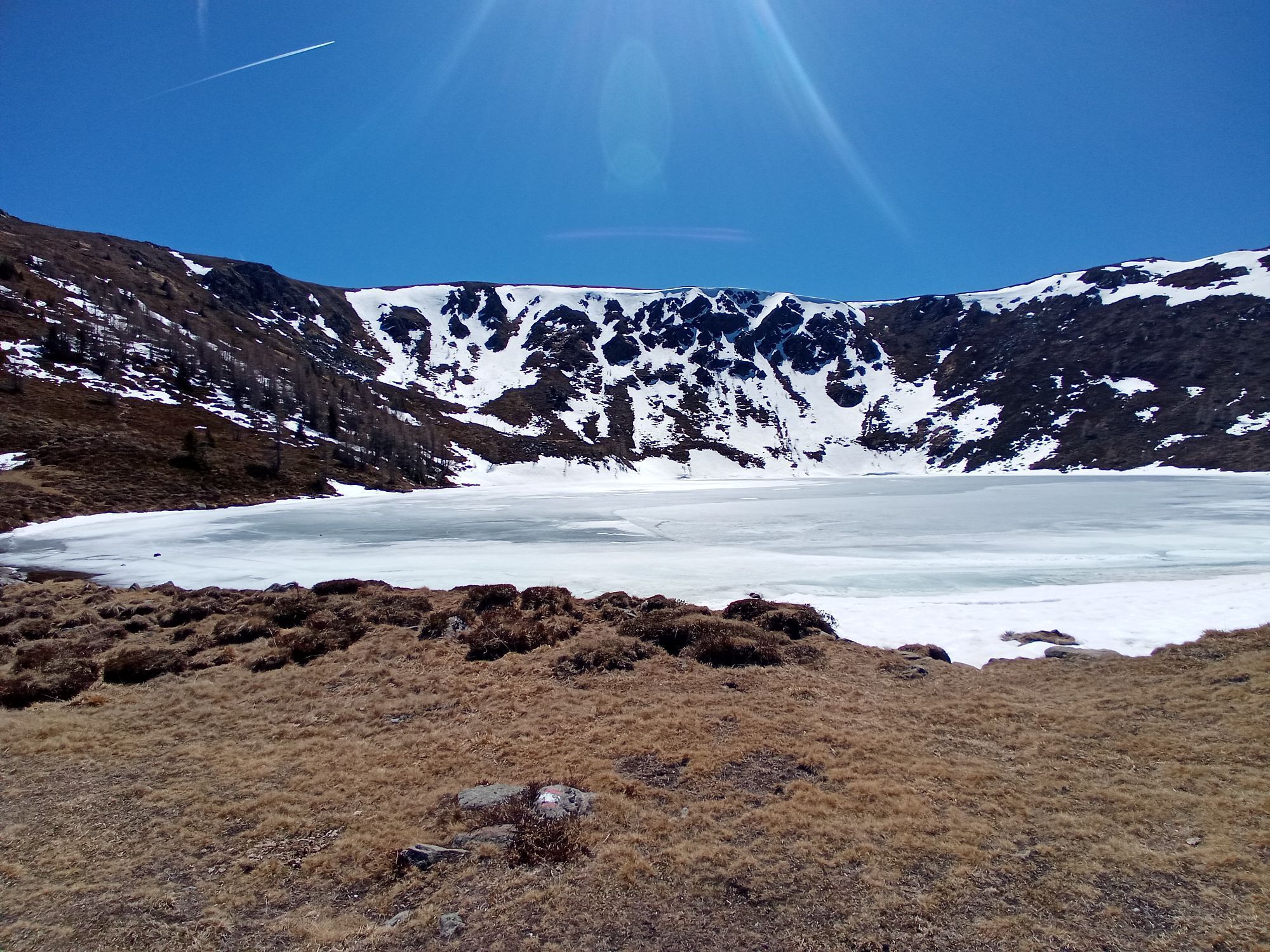
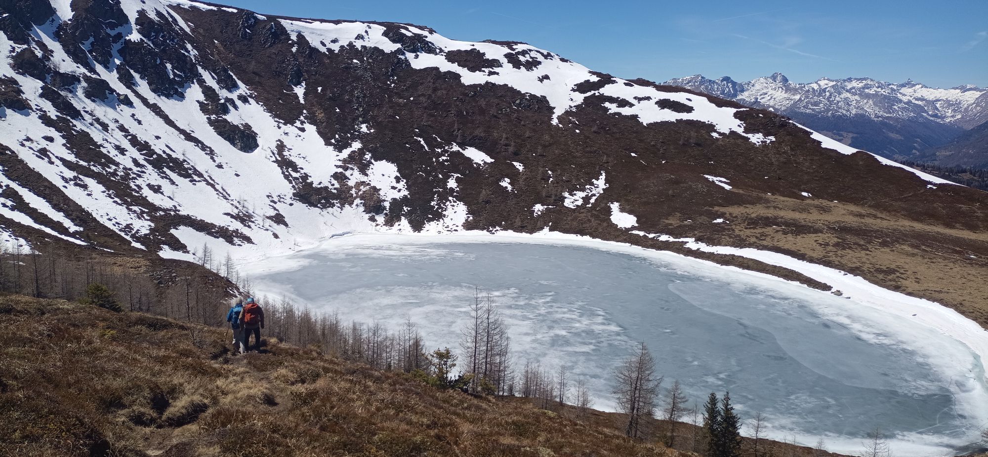
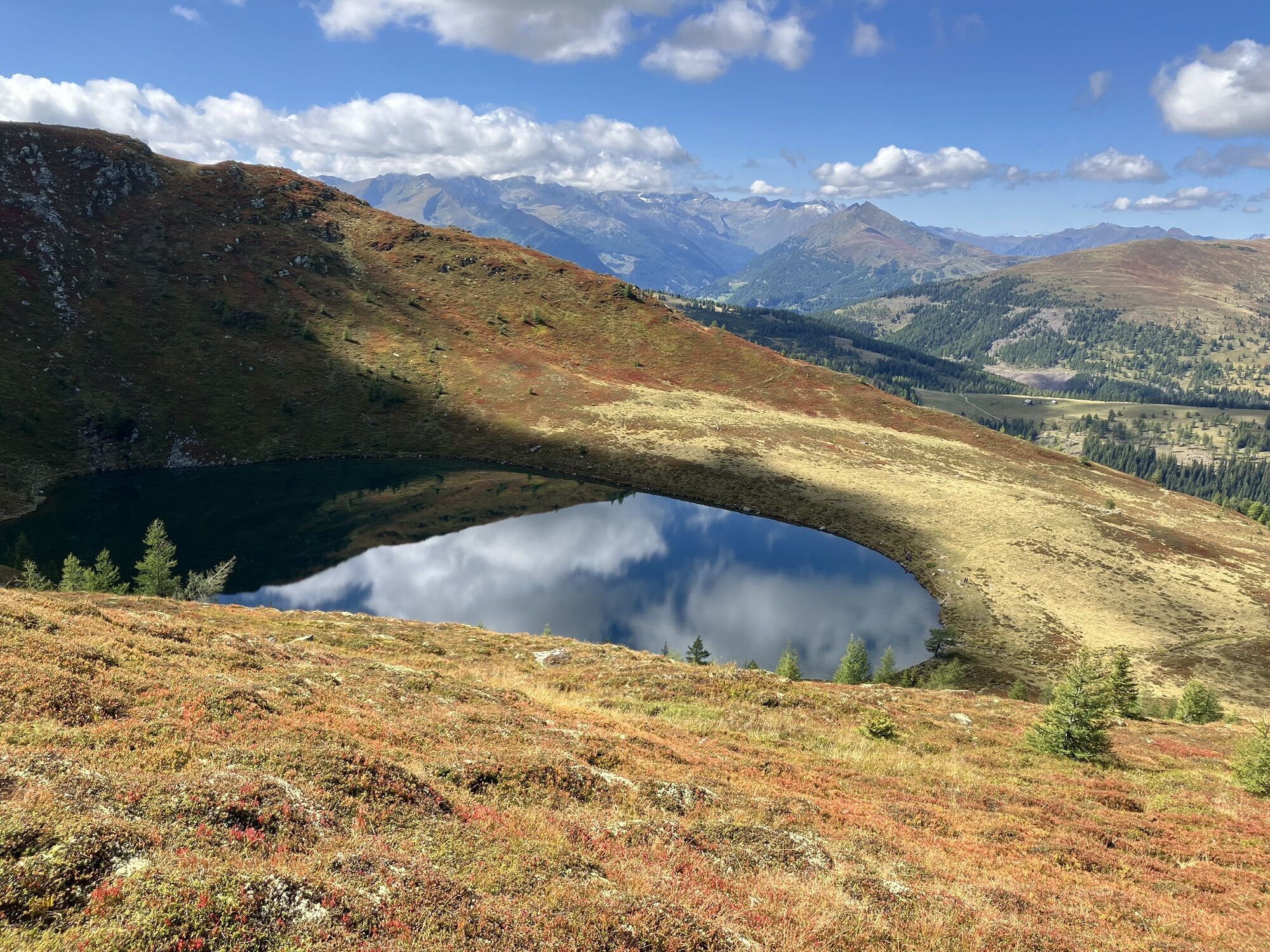
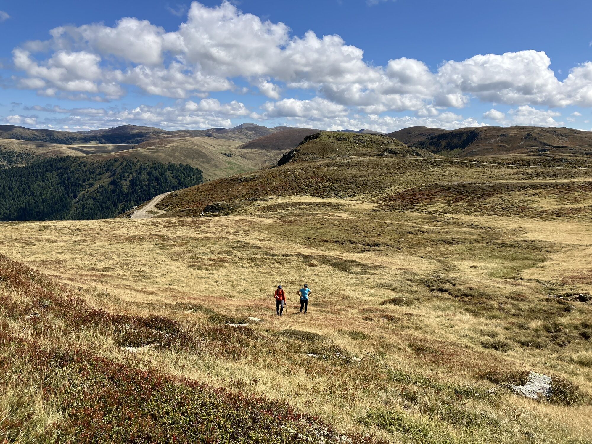
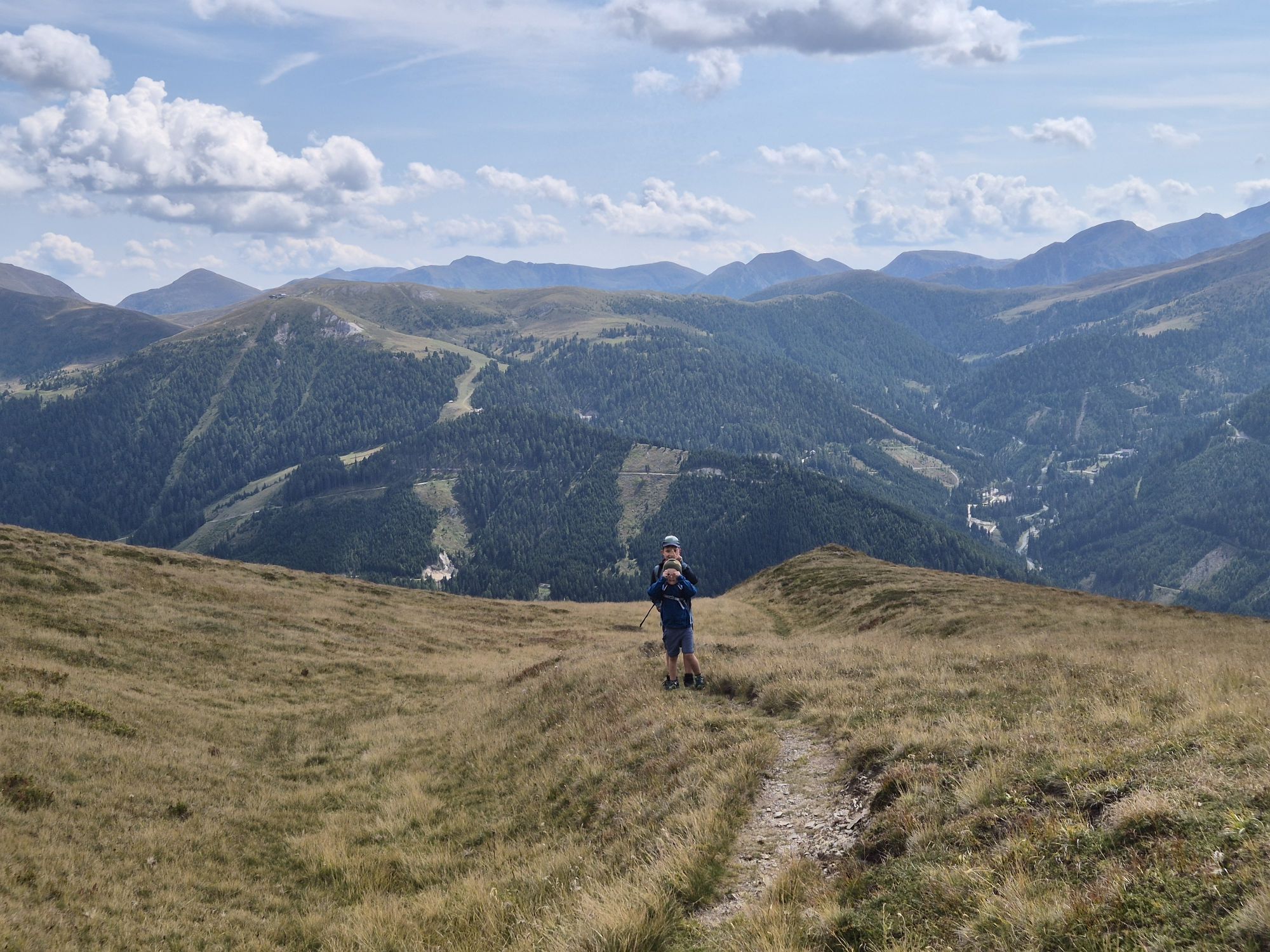
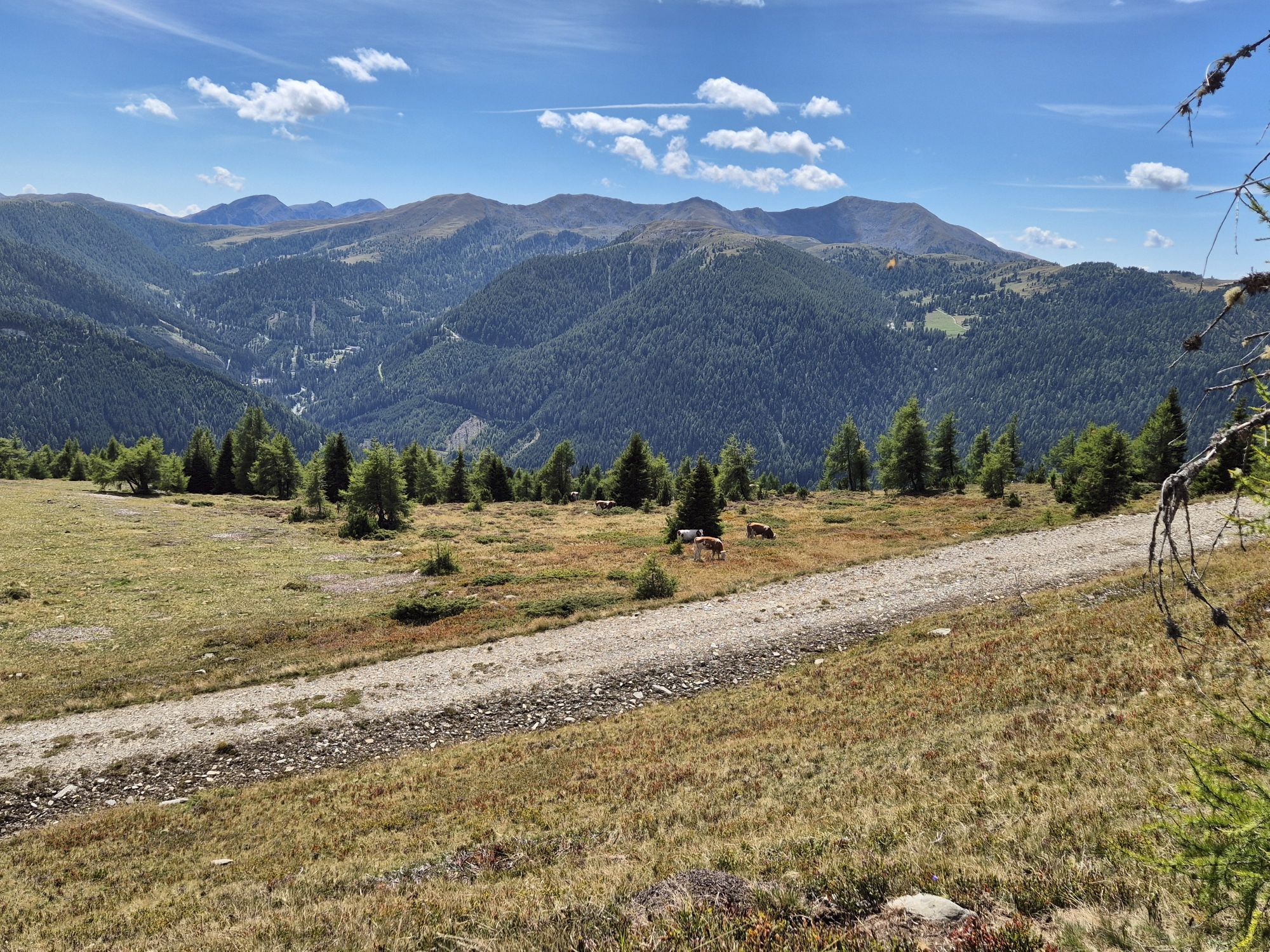
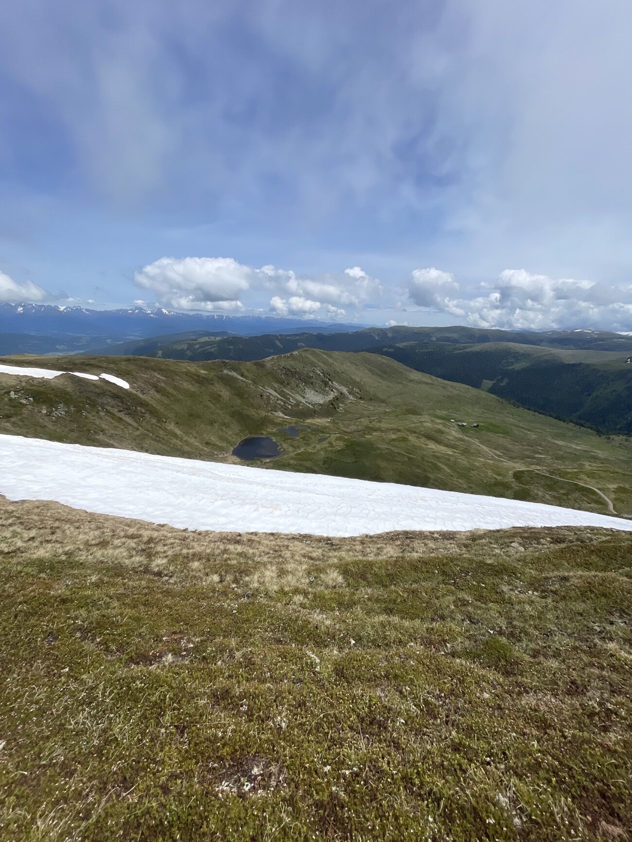
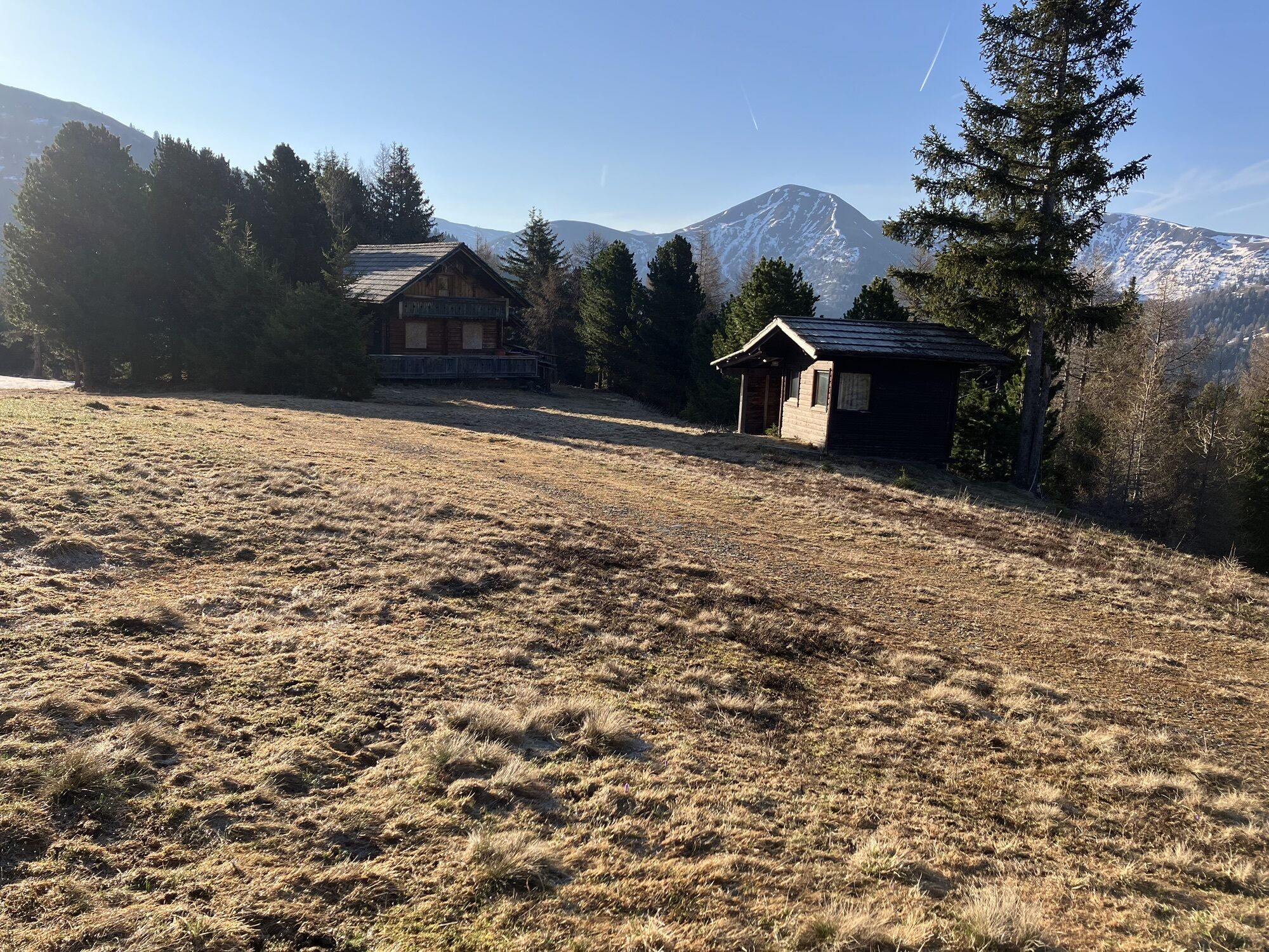
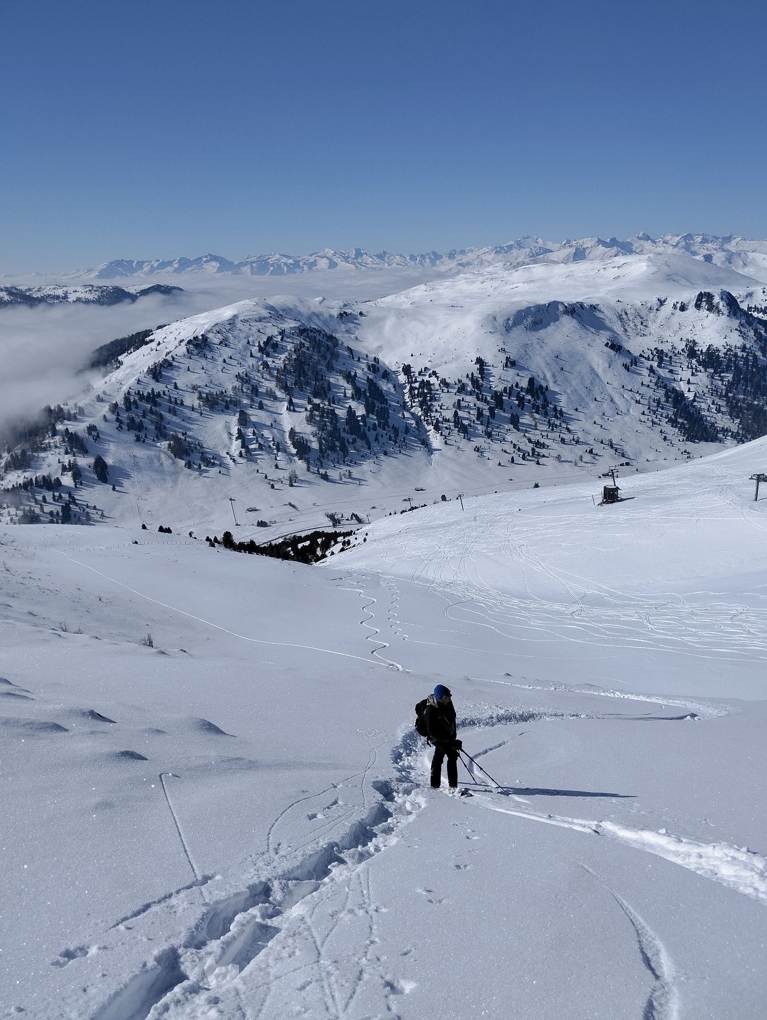
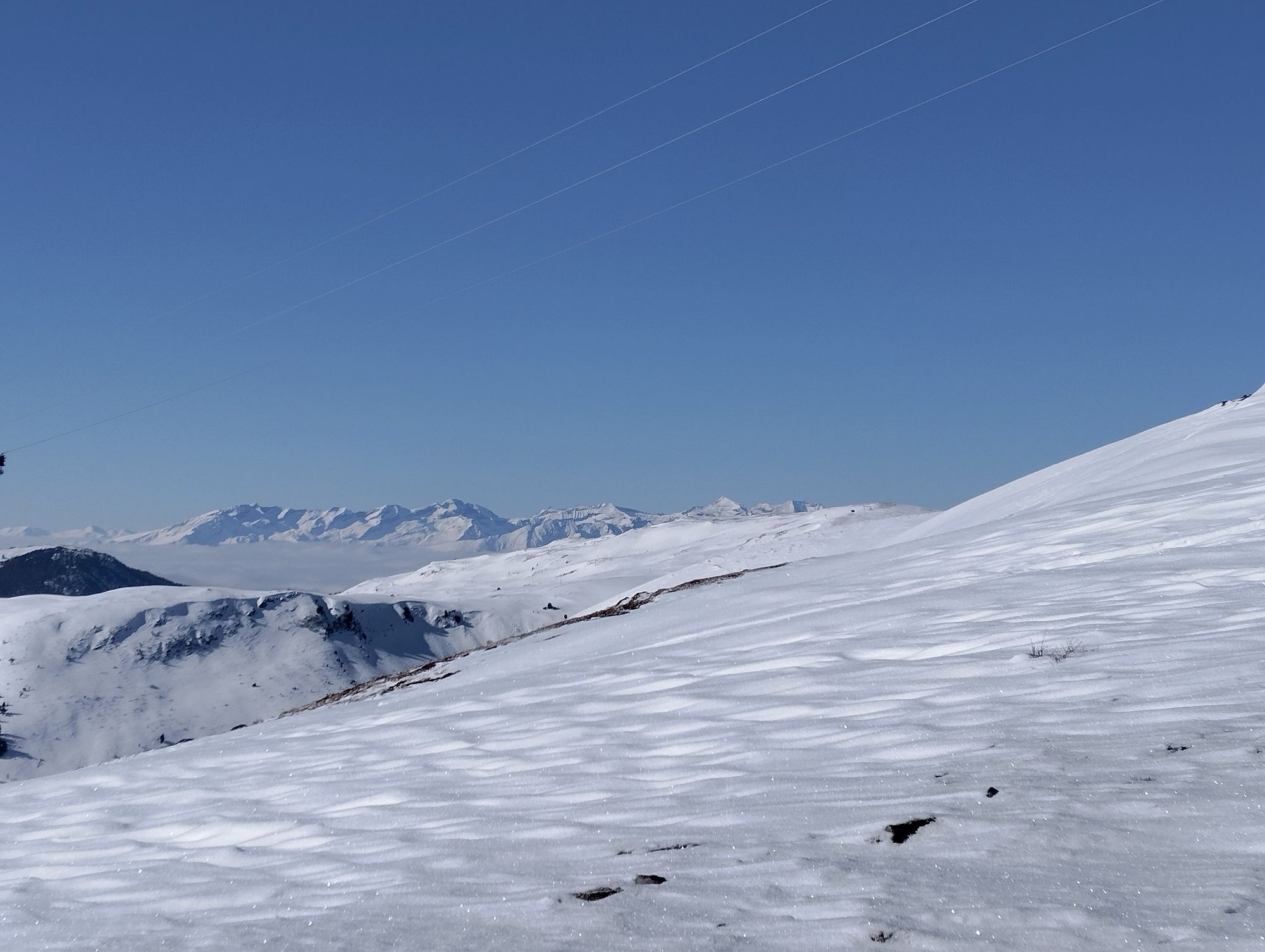
You now hike the wonderful ridge (always following the path no. 113) along just below the Gmeinnock (2.130m) past nameless mountain lakes to the beautifully situated lake Anderlesee. Continue with the Kameritzhöhe (2.167m) up till the Gaipahöhe (2.192m). Here you leave the ridge and walk the Wiesensteig about 180 vertical meters down to a track. This path you follow to the left (east) almost without loss of height to the "Blutige Alm Hütte" (1.195m). Here you have the opportunity to inform yourself about the “Speik”, a small inconspicuous plant that only occurs in the Nockberge mountains.
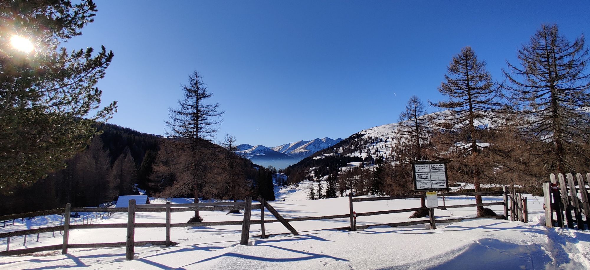
At the hut you choose the path no. 114 down south, hiking past a reservoir lake along the marked trail, which leads west of the cableway to Innerkrems - about 100 meters above Innerkrems you have the opportunity to take the path on the right to the lower district or on the left in the upper district of Innerkrems, depending on the location of your hotel.
Oui
Easy to medium. Technically speaking, the Nockberge-Trail hike is not that difficult. There are no rope secured or exposed sections that require a complete head for heights. Even if you often hike at altitudes of up to 2350m and have conquered many peaks, there are no technical difficulties. A certain amount of surefootedness – being able to move safely and quickly in the terrain – is required.
-> Each mountain tour should be planned and executed using official tour descriptions and hiking maps. Information from alpine clubs and local experts, such as mountain guides and hut owners, can be especially helpful in this regard.
-> Appropriate equipment and clothing are essential in the mountains. When mountaineering you need solid hiking shoes with non-slip soles. Since the weather in the mountains can be quite changeable, all-weather clothing is advised upon. The pace of the walk must be adjusted to the weakest member of the group. It is especially important at the beginning of the tour to go slowly and be sure to observe other participants, so that exhaustion may be detected in time.
-> Do not leave the marked hiking paths. To avoid falls, pay close attention to where you walk, even in light terrains. Be careful when walking on steep grassy slopes, especially when wet. It is especially dangerous to cross steep snowfields and glaciers.
-> It is essential to avoid the loss of stones along the route, as this could hurt other hikers. In areas prone to rockfall, pass individually as quickly as possible and without stopping.
-> Hikers wishing to be accompanied by their dog is a sensitive topic of late. In some instances (e.g. cows with newborn calves), cattle may be particularly aggressive towards dogs, especially those on a leash. It is essential to stay calm in these instances, be careful and trust your instinct, also take note of possible warning signs. Untrained dogs are to kept on a leash at all times!
-> If the weather changes along the way, mist falls, the road becomes too difficult or is in bad shape, you should turn back immeadiately. There is no shame in it, it is always the best thing to do.
-> If an accident should occur, keep calm. In some cases you will be able to help yourself. If not, try to get help by calling someone, yelling, flashing a light or waving large clothes to attract attention. If possible, anyone who is injured should not be left alone.
-> The mountains are a place for everyone, and it is the duty of every climber and hiker to help with their preservation and cleanliness. Please take all waste back with you into the valley and leave the flora and fauna of the mountains untouched.
-> Important telephone numbers:
-> Alpine Emergency Call 140, International Emergency Call 112
From the north:
Freeway Munich-Salzburg, A10/Tauernautobahn (Tauerntunnel toll) to the Rennweg exit after the Tauerntunnel. From there it is approx. 10 km along a paved road to Frankenberg, which then becomes a gravel road for the last 3 km to the Neue Bonner Hütte.
From the east:
Vienna, A2/Südautobahn - Semmering - Leoben - Unzmarkt - Murau - Tamsweg - St. Michael - Katschberg - Rennweg then as approach from the north or Vienna, A1/Westautobahn to Salzburg and then as approach from the north
From the south:
Udine - Autostrada - Tarvisio - Villach - Spittal - Gmünd - exit Rennweg - then as approach from the north or via the Loiblpass - Klagenfurt - Villach - Spittal - Gmünd - exit Rennweg - then as approach from the north
Depending on the time of year and day of the week, there are different public transportation options to Rennweg. For up-to-date information, please visit the following websites:
Convenient and direct from the train station to your accommodation with the Carinthia train station shuttle:
Cab Ramsbacher ( +43 664 2008412) is available from Rennweg for your transportation to the Neue Bonner Hütte.
Parking spaces are available at the Neue Bonner Hütte. Please contact the owner for parking permission!
Further information about the Nockberge-Trail can be found in the official trail booking center
at www.bookyourtrail.com.
Refreshment stops along the trail
Further information about the hiking area in the region can be found at
www.katschberg.at or www.millstaettersee.at/wandern or www.badkleinkirchheim.at/wandern or www.nockberge.at/wandern
Further information on the hiking area of the region can be found at
Region Millstätter See - Bad Kleinkirchheim - Nockberge
+43 (0) 4246-37444
info@mbn-tourismus.at
www.seeundberg.at/wandern
The UNESCO Carinthian Nockberge Biosphere Reserve
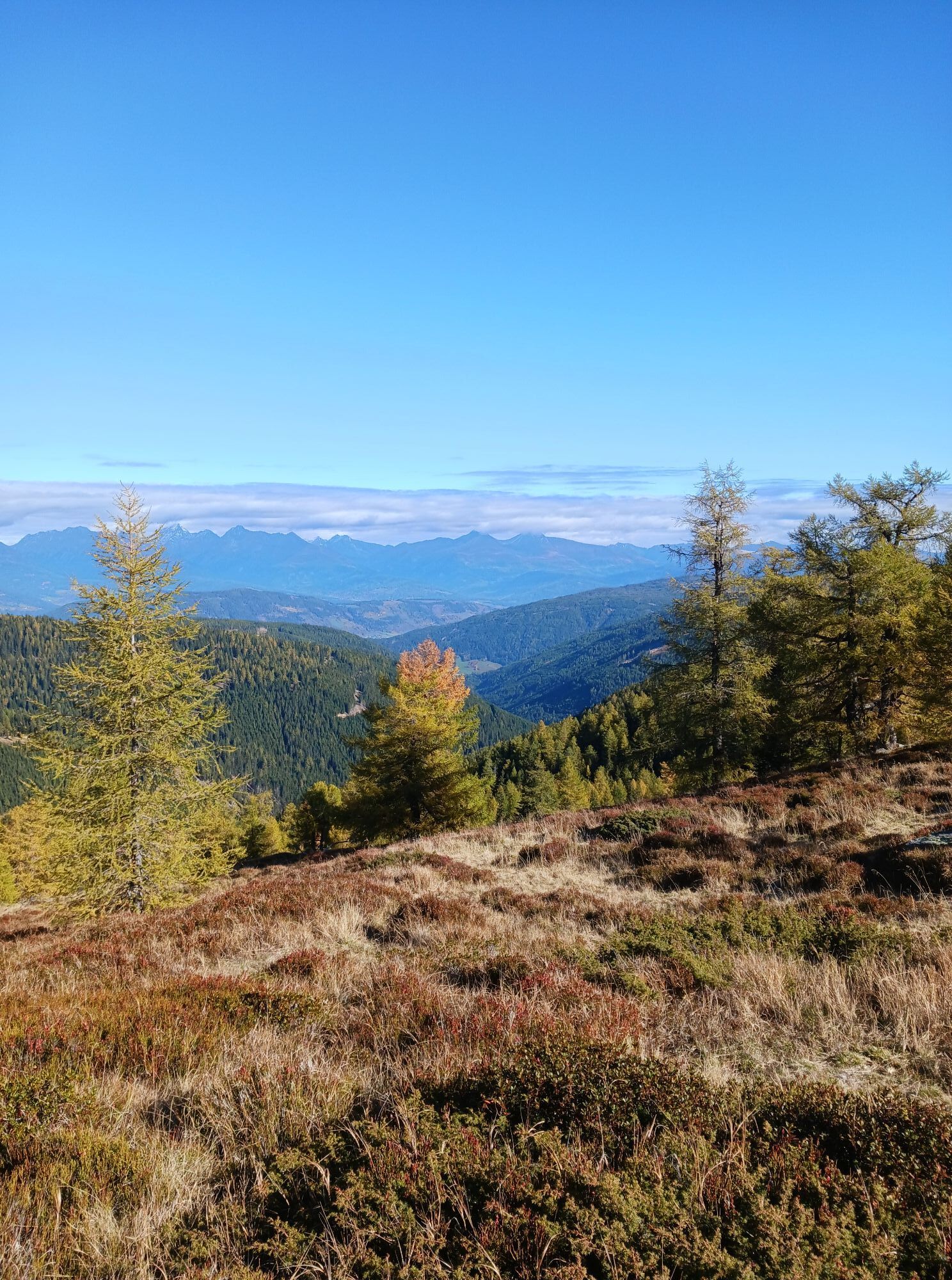
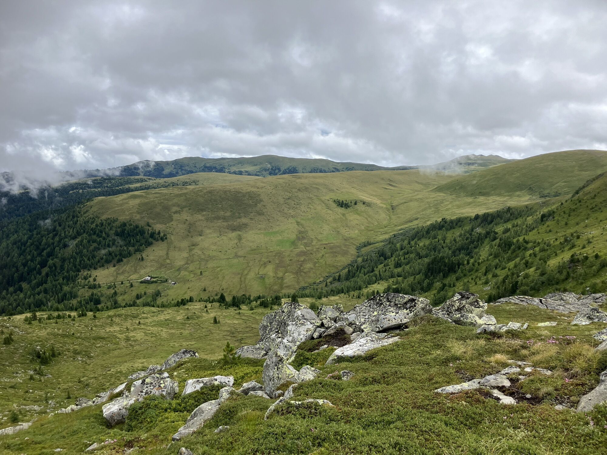
Sublime, mighty and unique - the UNESCO Carinthian Nock Mountains Biosphere Reserve is an alpine jewel with unique natural treasures, a diverse cultural landscape and rare animal and plant species. People have lived here in harmony with nature for centuries. Gently rolling hills with peaks over 2,400 meters and picturesque alpine meadows - the Carinthian Nockberge Biosphere Reserve is a rare natural idyll in the middle of the Austrian Alps and covers an area of around 500 square kilometers.
It was designated a biosphere park by UNESCO in 2012. The park is based on the three pillars of sustainability: ecological balance, economic security and social justice. Here, people live in harmony with nature and respect and appreciate the rare flora and fauna.
Regional products, processed according to old traditions, bear witness to careful work according to traditional recipes. Trained biosphere park rangers promise unforgettable tours for families, and this knowledge is also passed on to schoolchildren in several educational programs. Whatever time of year you visit, the biosphere reserve always offers a treasure trove of experiences.
Further information about the UNESCO Carinthian Nock Mountains Biosphere Reserve can be found at: www.biosphärenparknockberge.at
Laußnitzer hut and the idyllic Laußnitz lake
Climb to Roter Riegel and Schwarzwand
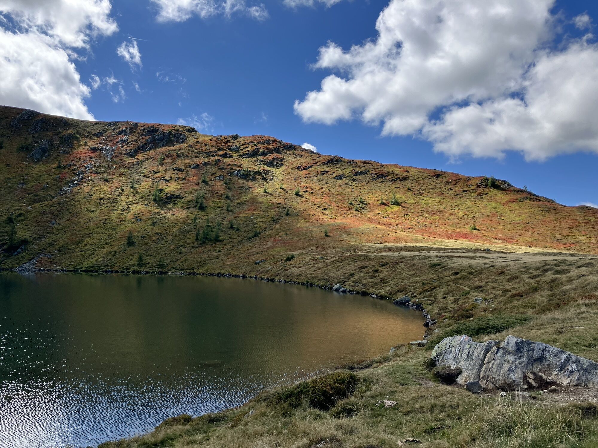
Anderle lakes on Blutigen Mountain
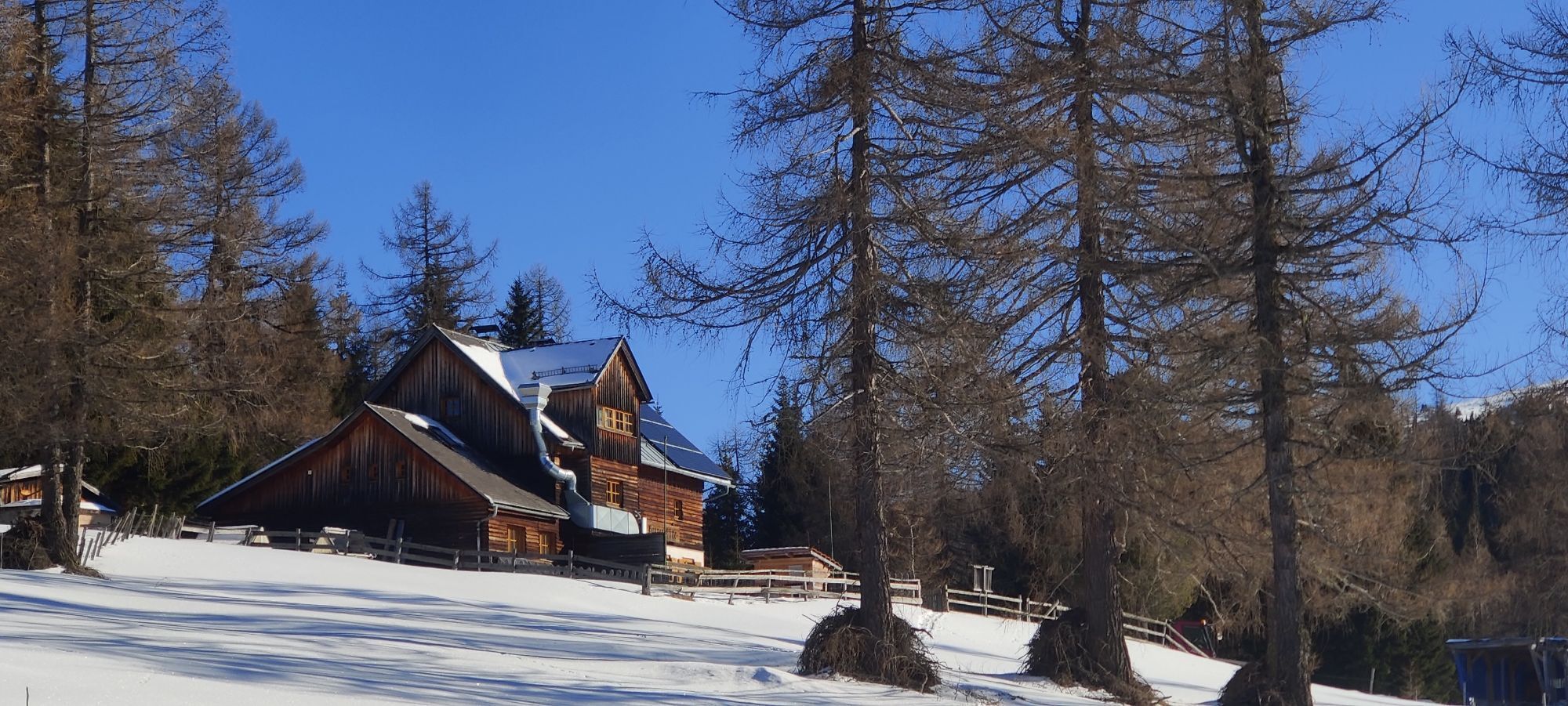
Blutige Alm Hut and the Alpine trail
Webcams de la tournée
Aineck Mittelstation
Silverjet 2 Bergstation
Sport Schiffer - Innerkrems
Katschberghöhe Aineck
Katschberghöhe Aineck
Katschberghöhe Aineck
Katschberghöhe Aineck
Katschberghöhe Aineck
Katschberghöhe Aineck
Sommerrodelbahn Katschberg
Zentrum Katschberghöhe
Zentrum Katschberghöhe
Zentrum Katschberghöhe
Nockalmstraße - Eisentalhöhe
Silverjet Katschberg
Aineck Mittelstation
Aineck Mittelstation
Aineck Mittelstation
Aineck Mittelstation
Aineck Mittelstation
Zentrum Katschberghöhe
Zentrum Katschberghöhe
Zechneralm
Boutique Apartments Herbert
Boutique Apartments Herbert
Boutique Apartments Herbert
Boutique Apartments Herbert
Boutique Apartments Herbert
Boutique Apartments Herbert
Aineck Mittelstation
Schönfeld
Innerkrems

Parcours populaires à proximité
- 4,7
19, 97 Herzerlweg vers la Gamskogelhütte
facileChemin thématique 3,83 km - 3,9
Schlögelbergrundweg Nr. 82 (Wasserweg Leisnitz)
moyenRandonnée 5,15 km - 4,8
Große Rosennock Runde
Randonnée 9,80 km - 4,2
Pritzhütte
facileRandonnée 3,38 km - 4,9
Gr. Königsstuhl, Nockalm, Kärnten
moyenRandonnée en montagne 7,15 km - 4,8
Schönfeld: Großer Königstuhl
moyenRandonnée 11,2 km - 4,6
97 parcours circulaire Gontalrunde, Katschberg - Gontalscharte - Gontal
Randonnée 9,33 km - 4,4
Peitlernock, Hohe Pressing, Bärenaunock
moyenRandonnée 9,16 km - 4,4
Randonnée circulaire Klomnock
moyenRandonnée 7,64 km - 4,0
Sentier didactique de randonnée à ski Grünleitennock
facileSki de randonnée 10,6 km
Randonnée et suivi


Ne manquez pas les offres et l'inspiration pour vos prochaines vacances
Votre adresse électronique a été ajouté à la liste de diffusion.