


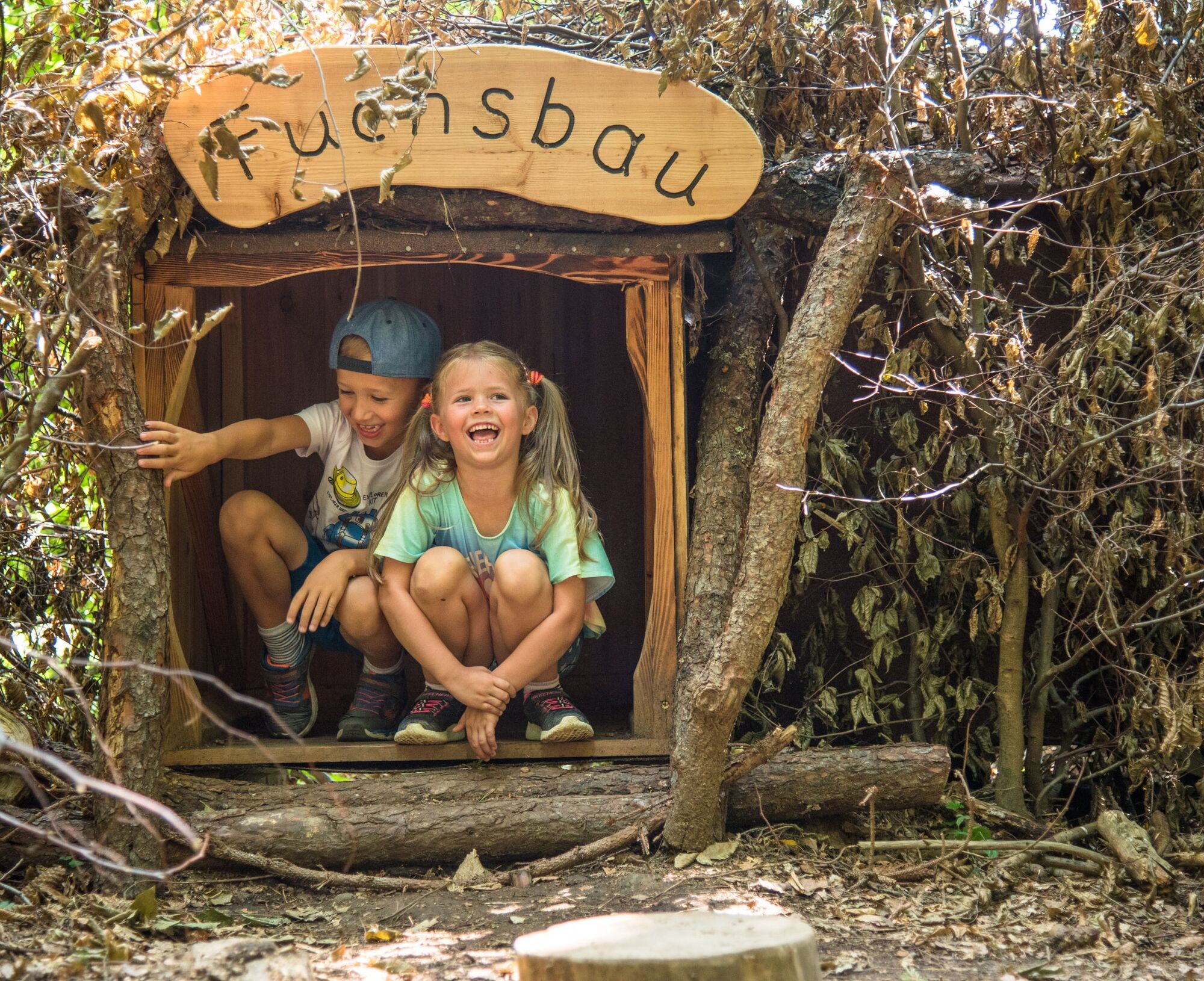
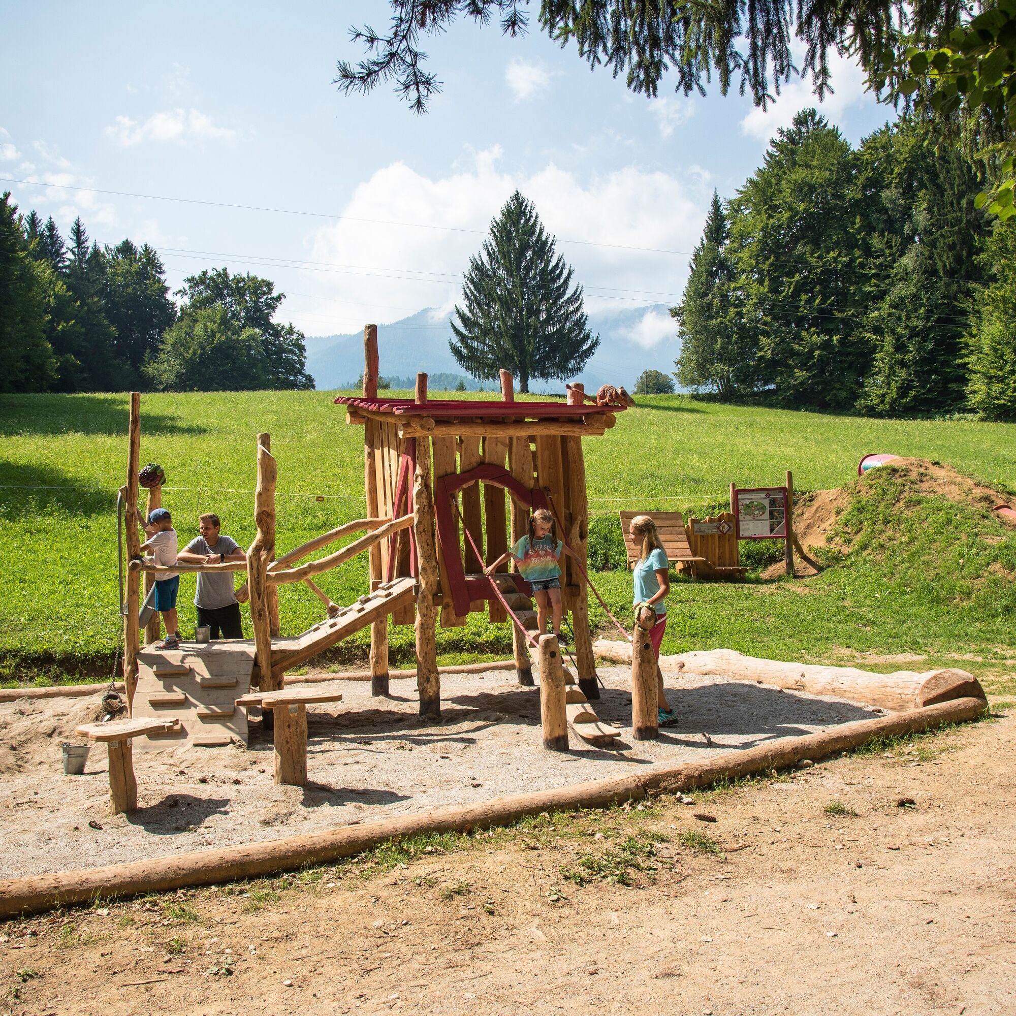
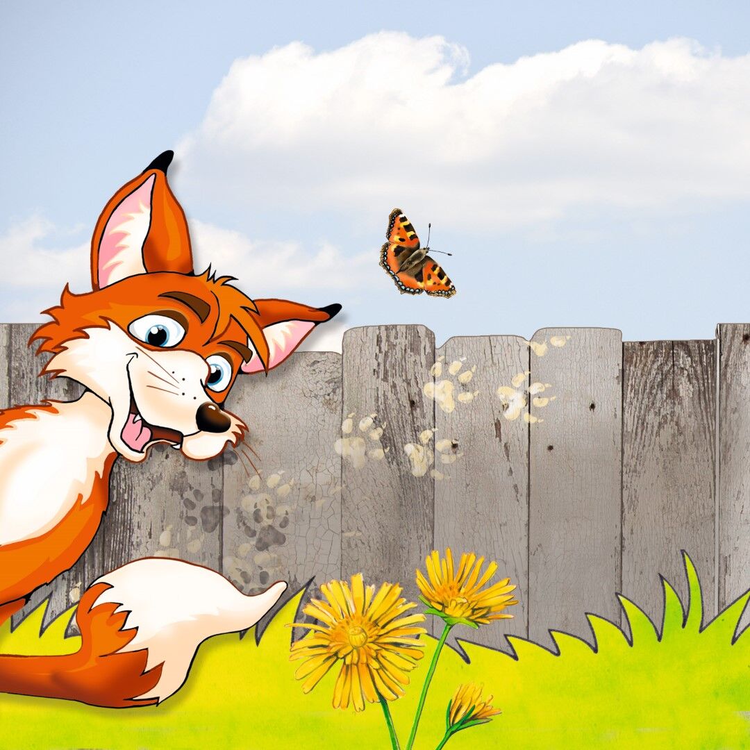
Fox Trail


The "Fuchsfährte" is a family adventure trail for children and is partially funded by the EU (LEADER) and leads from the Naturel Resort Schönleitn to a beautiful lake called Aichwaldsee.
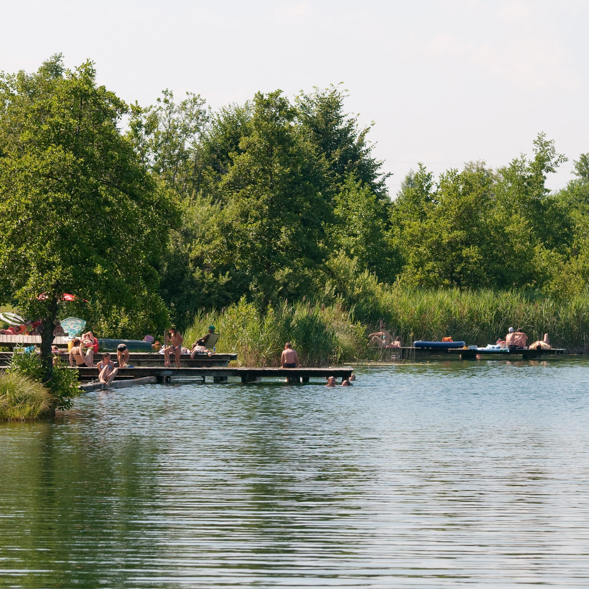

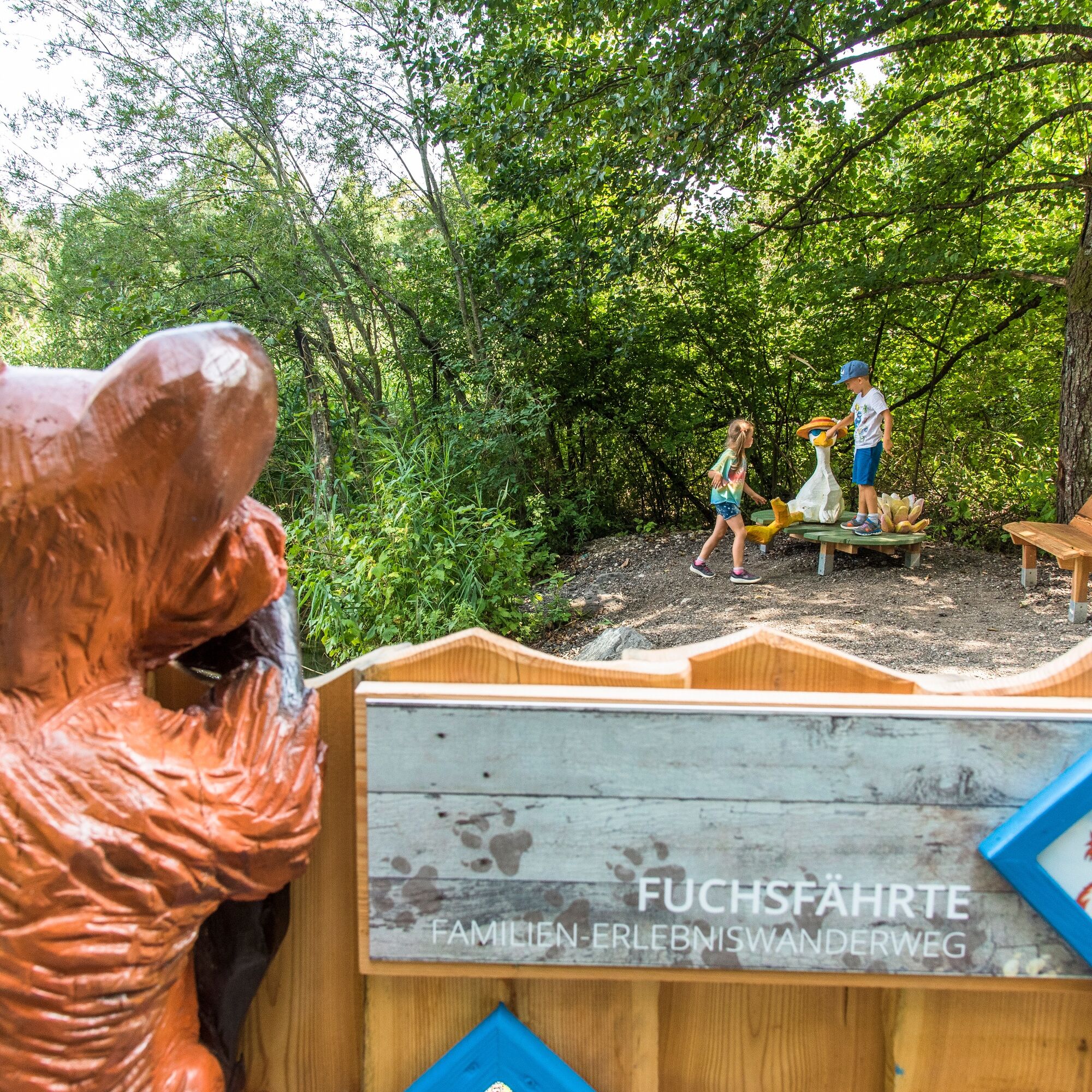
At the starting point (N 46 561 733 / E 13 929 907) there is a welcome board with the first information about the adventure trail. Follow the path eastwards over field and meadows to the federal road B85 Aichwaldstraße. Be careful when crossing the road! On the opposite side, there is a small place where the path branches off into the Aichwaldseeweg. At the end of the paved path, you will come to a small moat with a crossway. Here you turn left towards lake Aichwaldsee. After a few minutes you will reach a small yard and again a paved road, which leads to the last stop of the adventure trail in the immediate vicinity of the public bath (N 46 554 647 / E 13 946 167) on the southern side of lake Aichwaldsee.
Oui
Oui
Oui
Running shoes, drinking water, snacks, sun protection etc.
You and your children use of the playgrounds, which are made of natural materials, at your own risk. All the playground equipment was approved by the TÜV on the basis of standardized playground regulations.Parents are responsible for their children, especially while crossing the road!
Take the motorway exits Faaker See (A2) oder St. Niklas (A11) and follow the signs to Faak and then Oberaichwald.
Take the Postbus to go to Latschach. From the bus stop it is a 20-minutes-walk to the Naturel Resort Schönleitn.
Click here for timetable information.
There are enough parking spaces available at the Naturel Resort Schönleitn.
Region Villach Tourism
+43 4242 42000
www.visitvillach.at
There is a modern public bath at the end of the hiking trail where you will the solution of the mysterious disappearance of goose Frieda.
Parcours populaires à proximité
- 3,4
Forstsee Runde
facileRandonnée4,26 km - 4,7
Rotschitza Klamm Klettersteig B/C
moyenVia ferrata3,73 km - 3,5
Mittagskogel über Bertahütte
difficileRandonnée4,21 km - 4,3
Finsterbach Waterfalls Circuit
moyenRandonnée3,84 km - 3,3
Rund um den Ossiacher See
moyenFaire du vélo68,7 km - 3,8
Ossiacher See Cycling Tour - R2 and R2A
moyenFaire du vélo28,2 km - 3,9
Faakersee Rundweg
facileRandonnée9,55 km - 4,3
Mittagskogel - Rundwanderung
difficileRandonnée14,5 km - 3,4
Mittagskogel
moyenRandonnée4,40 km - 4,4
Baumgtn. Höhe, Mallestiger Mittags- und Schwarzkogel
difficileRandonnées d'hiver10,7 km
Randonnée et suivi


Ne manquez pas les offres et l'inspiration pour vos prochaines vacances
Votre adresse électronique a été ajouté à la liste de diffusion.