







Pirkerkogel - Gaisrücken Umrundung
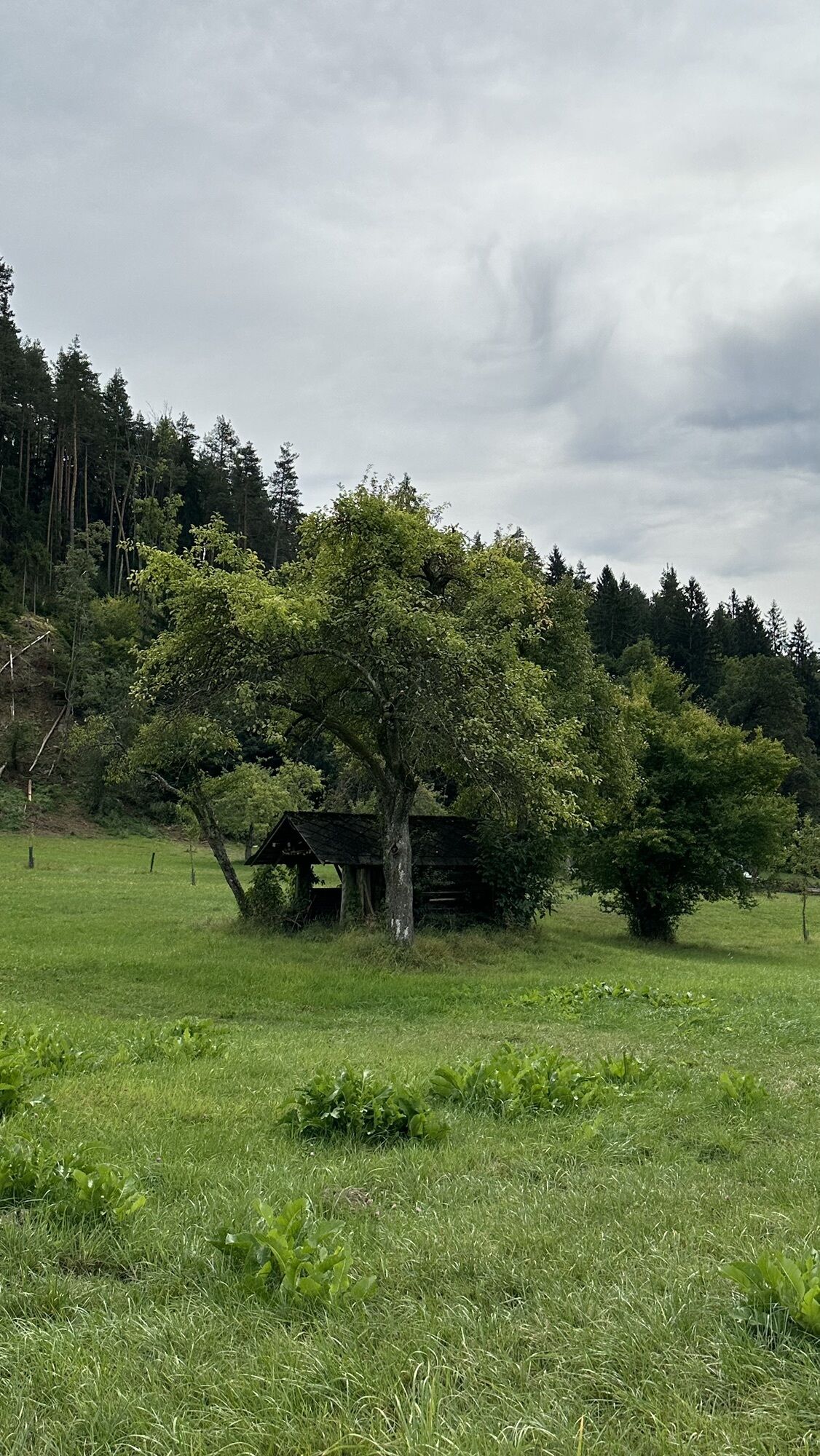

From the main road in Krumpendorf into Komauerweg. After a short, steep climb via Römerweg, Lannerweg onto the Höhenweg. Just before the motorway, turn left into Pirkerweg, via Pirkerweg or Schumbergerweg...
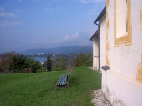
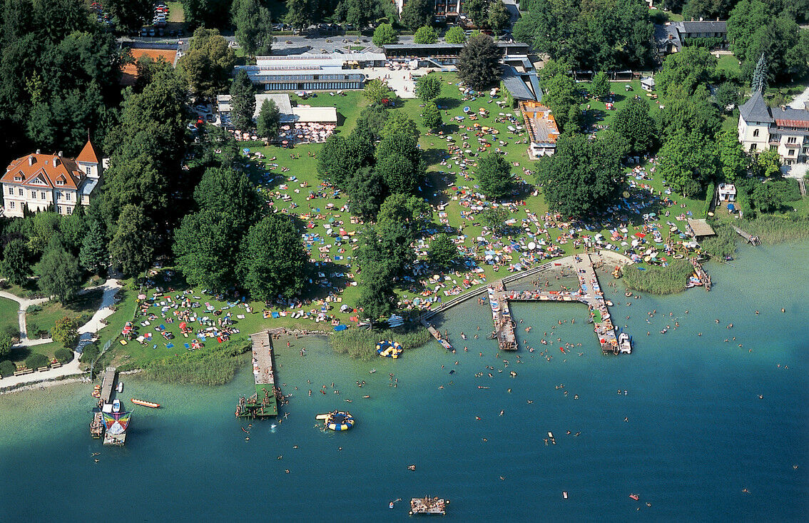
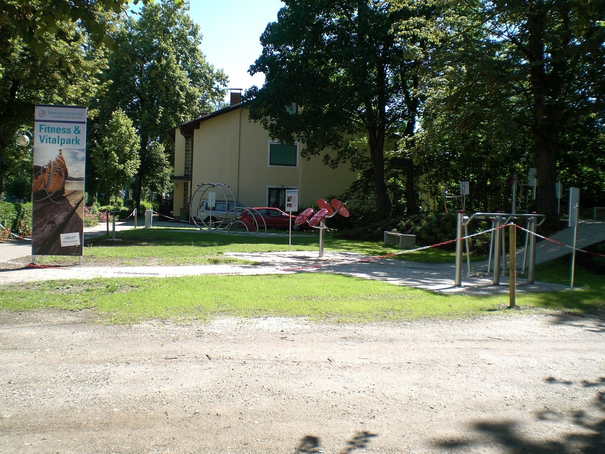
From the main road in Krumpendorf into Komauerweg. After a short, steep climb via Römerweg, Lannerweg onto the Höhenweg. Just before the motorway, turn left into Pirkerweg, via Pirkerweg or Schumbergerweg to the Pirker church. From there, left past the former Pirkerhof - follow the path - towards Prosintschach. In Prosintschach, turn towards Kreggab. After a short climb, keep left in Kreggab, past two farms and then immediately right onto the field path towards Moosburg. In the center of Moosburg, by the church, turn left into Gaisrückenstraße. Follow this to Brockweg / Buschenschenke Brock. Along Brockweg, under the motorway, then right into Görtschacher Weg - follow this to the R4 cycle path. From there, return to Krumpendorf.
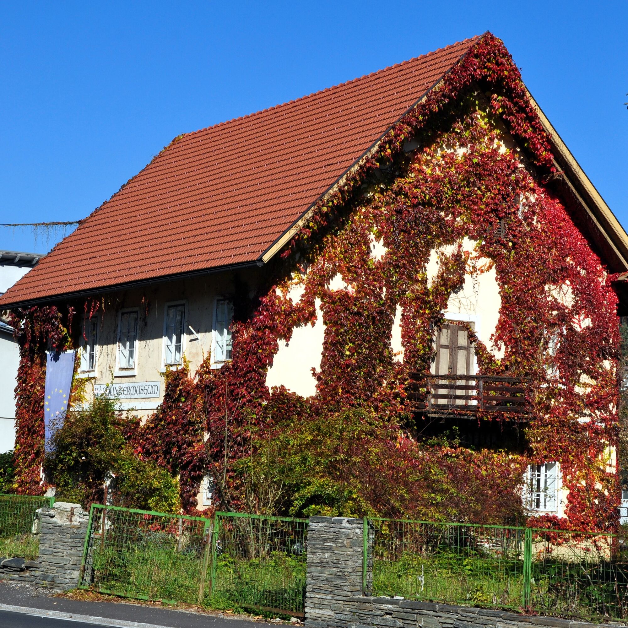

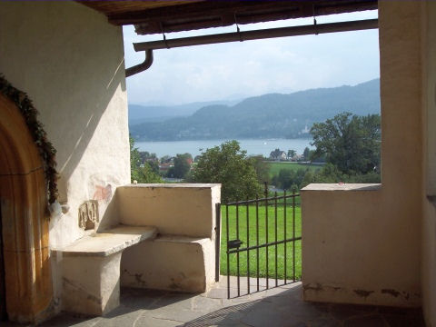





Krumpendorf – Pirk – Kreggab – Moosburg – Untergöriach – Winklern – Sallach – Krumpendorf
Auf der A2 oder B83 von Klagenfurt oder Villach kommend nach Krumpendorf
Access by bus or train possible
Parking spaces available in town
 Obtenez un aperçu Toujours en direct avec plus de 9.500 webcams. En tant qu'utilisateur Pro, vous pouvez désormais voir les webcams correspondantes à de nombreuses randonnées dans l'application de randonnées de bergfex. Vous pouvez ainsi voir directement les conditions actuelles.
Parcours populaires à proximité
- 5,0
Wörthersee EXTREM
difficileRandonnée 60,1 km - 4,6
Chemin du Pyramidenkogel Maria Wörth
moyenRandonnée 10,8 km - 4,5
Parcours Hoher Gallin
moyenRandonnée 7,09 km - 4,5
Circuit du lac de Wörthersee (Wörthersee - Keutschacher Seental)
moyenFaire du vélo 48,2 km - 4,4
Parcours autour du lac Wörthersee
moyenFaire du vélo 41,2 km - 4,7
Zillhöhe
moyenCourir 7,94 km - 4,7
Vierbergelauf
moyenChemin de pèlerinage 47,6 km - 4,6
Pyramidenkogelweg Schiefling
moyenRandonnée 8,41 km - 4,1
Slow Trail Bleistätter Moor (variante A)
facileRandonnée 7,22 km - 4,5
Ulrichsberg
facileRandonnée 5,60 km
Randonnée et suivi


Ne manquez pas les offres et l'inspiration pour vos prochaines vacances
Votre adresse électronique a été ajouté à la liste de diffusion.





