







Pörtschach - Bannwaldtour
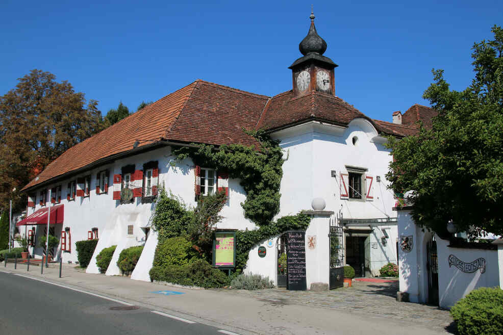
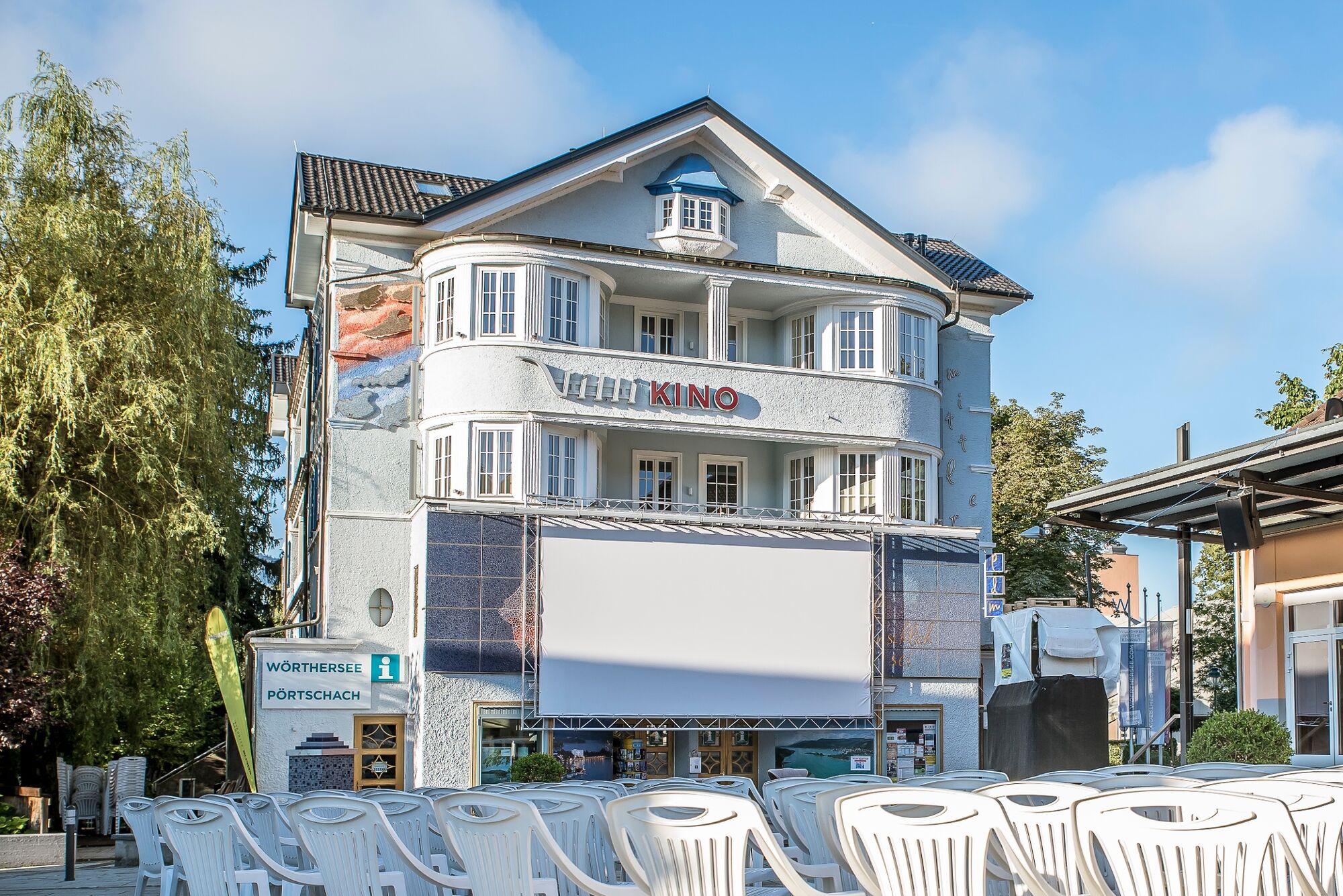
The start is at the tourist information office and the route initially leads along the main road towards Velden. After about 150 m - immediately after Leonstain Castle - you turn right. Under the railway...
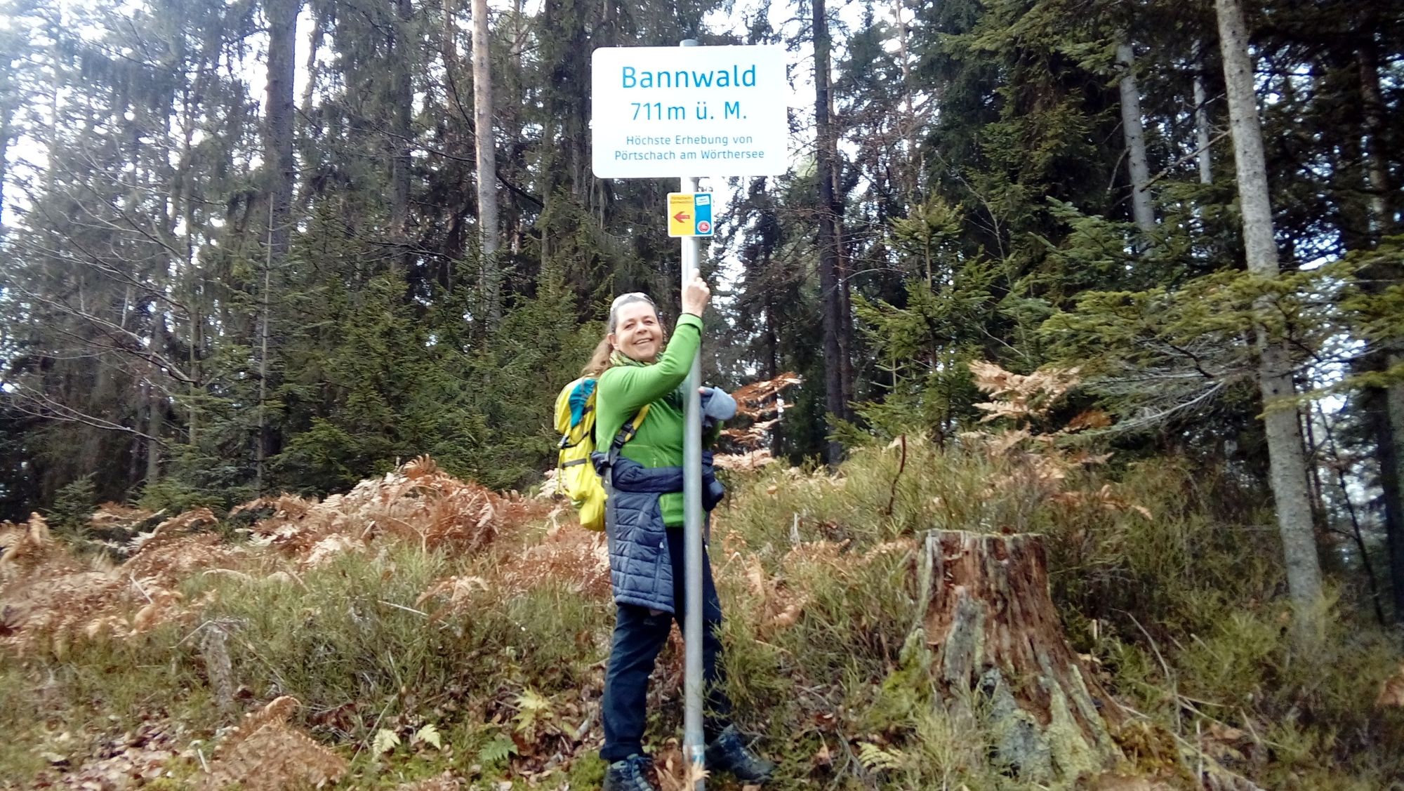
From the Bannwaldhöhe, the route is well marked to the left - towards the south. This is followed by a few hundred meters and about 100 meters of wonderful single trails, interrupted only once by about 20 meters of forest path. You get the impression that the bends were built especially for this trail. These are ancient sunken paths that were just waiting to be revived as mountain bike trails.
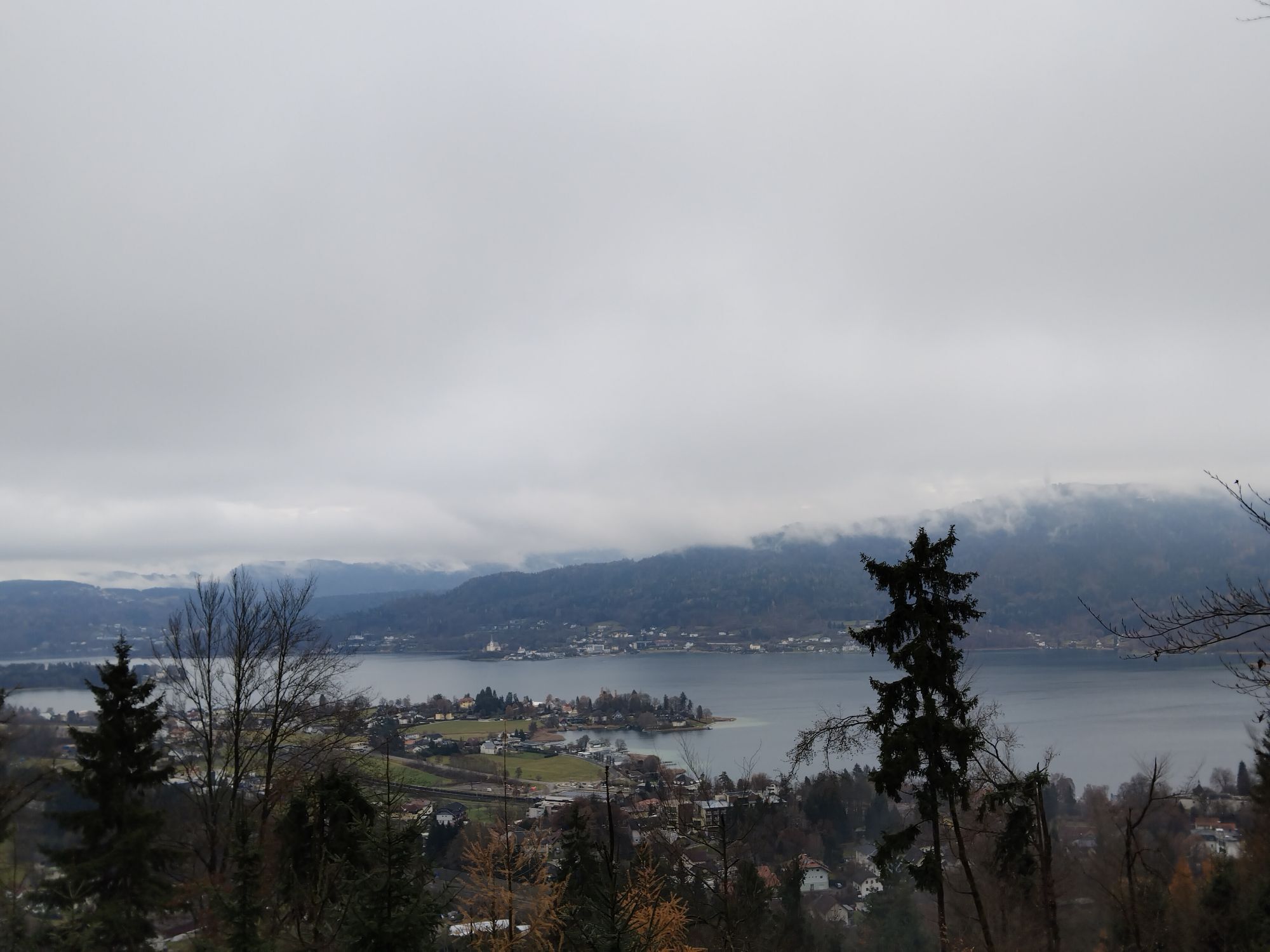
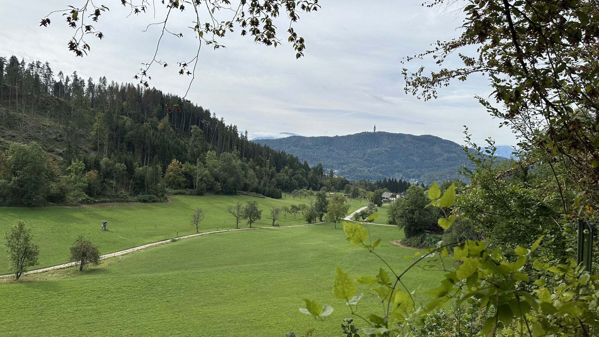
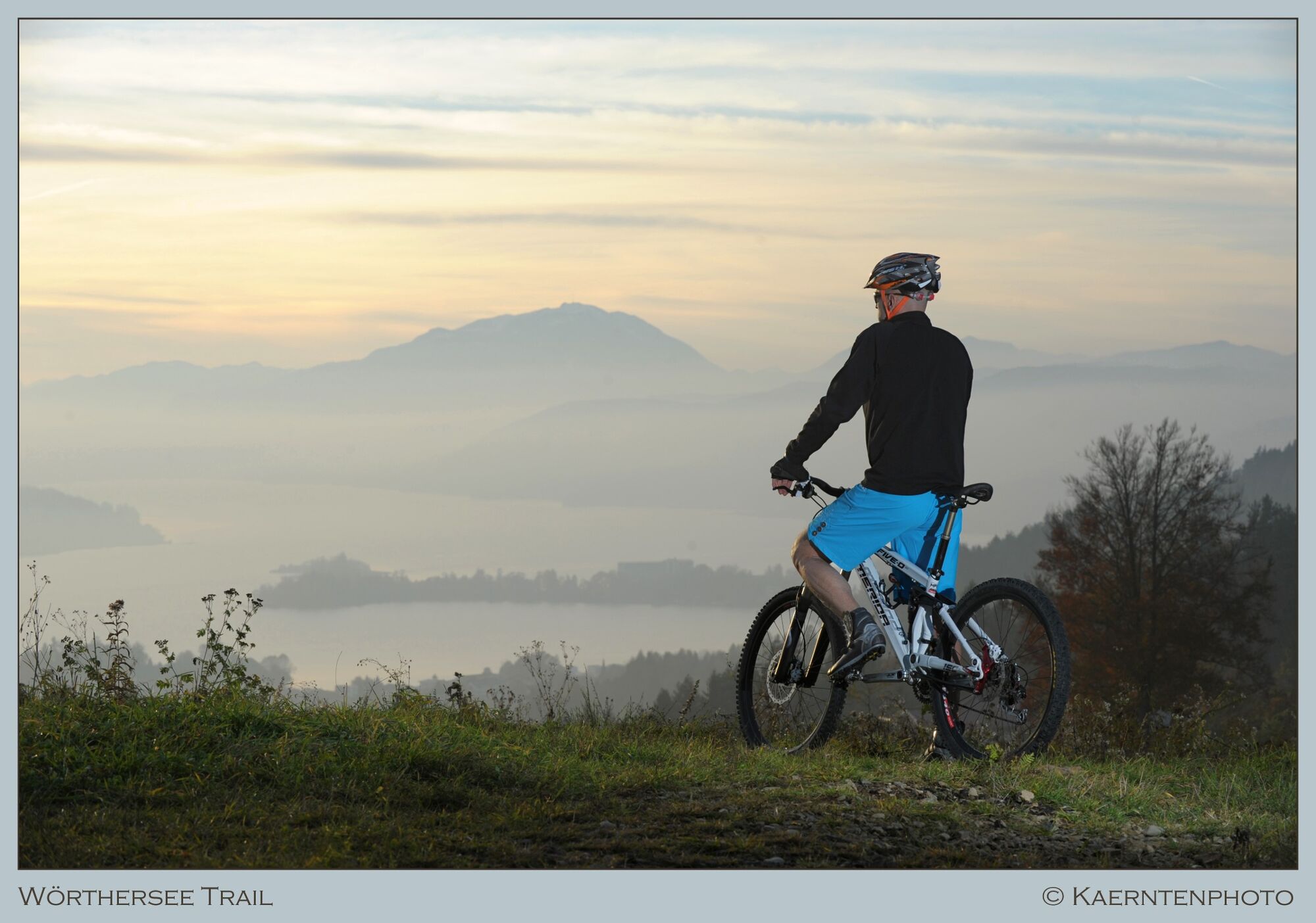
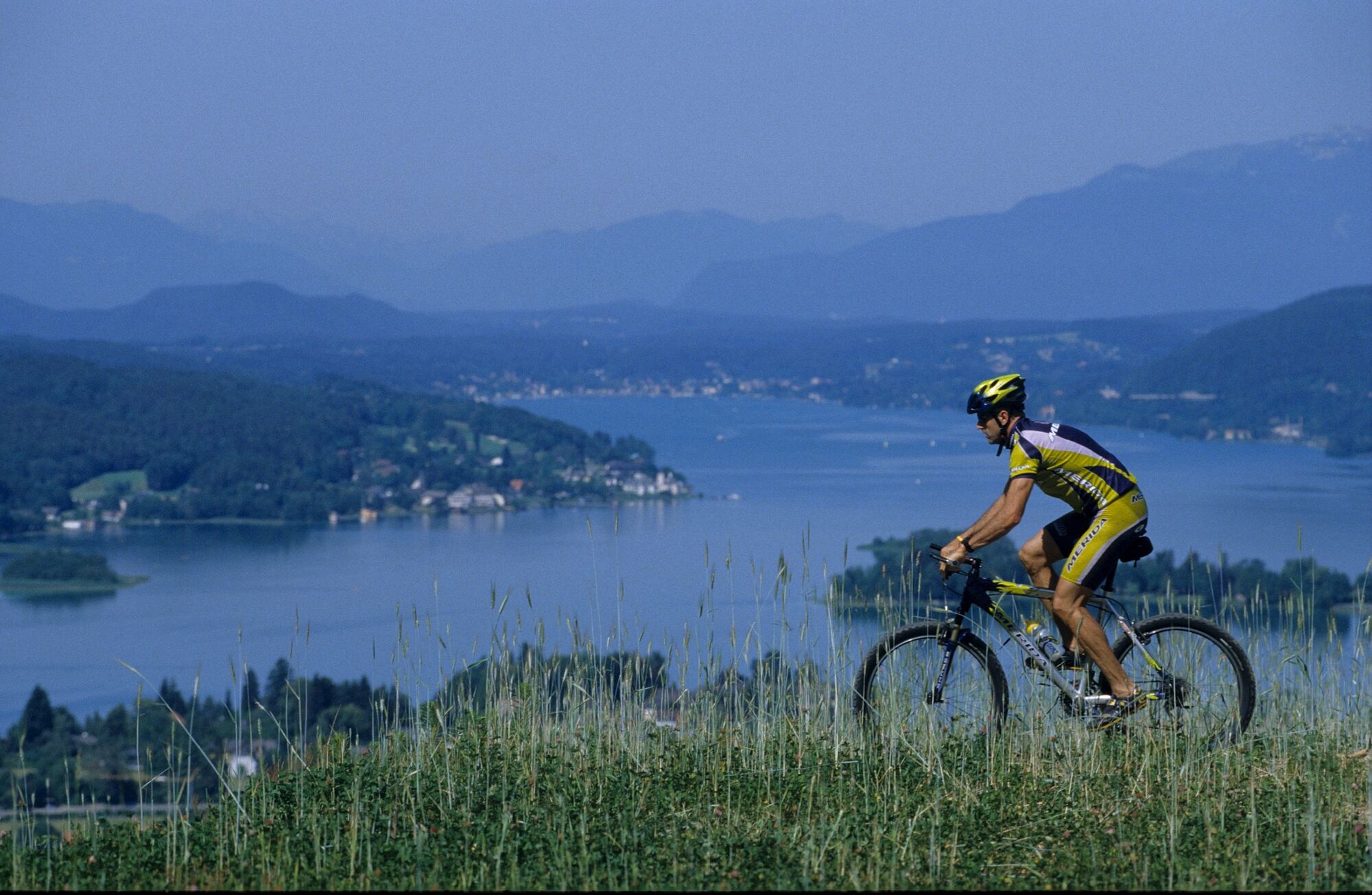
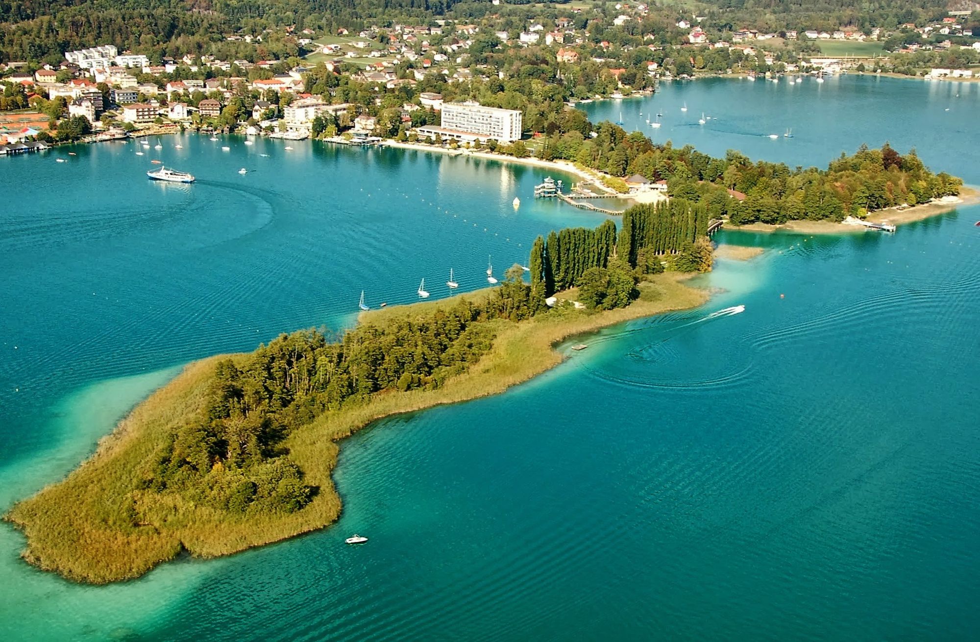
Once back on the forest path, you share the route with the Wörthersee circular hiking trail for about 1 km. On this section you pass a wonderful viewpoint that is located directly above the rural district of Winklern, which the locals call “Kate”. The view sweeps over the meadows and fields, over Lake Wörthersee to Maria Wörth and up to the rugged peaks of the Karawanks.
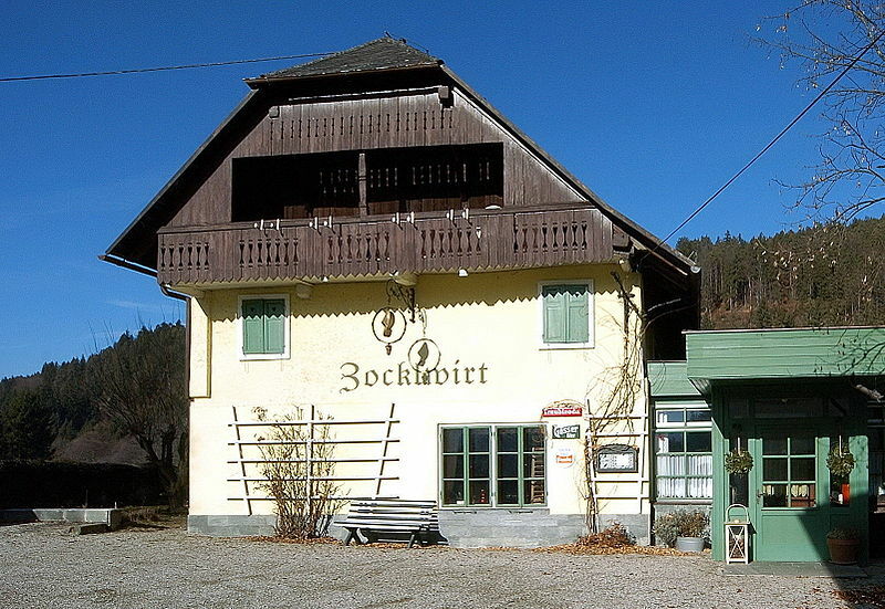
At the end of the forest path there is another barrier, which can easily be bypassed on the left. Although the barrier is after a long straight and is clearly visible, caution is advised. After a 180° bend you come to the Gaißrückenstraße, which takes us on a hearty descent into the district of Winklern. In this natural idyll you will find the Brockhof with a wonderful Buschenschank and the Zocklwirt, which is known for its good home cooking, directly opposite.
Whether you are freshly strengthened or still hungry, the route is well marked and leads along asphalted side roads (Gaißrückenstraße - Tscheberweg - Karawankenblickstraße - Moosburger Straße) down to the town center, where the circle closes at Monte Carlo Platz.
It is not advisable to drive the route in the opposite direction. You lose the wonderful single trails on the downhill sections and most bikers would have to push the bikes uphill. That's why the Bannwald tour is only marked in the direction described.


Tourismusinformation Pörtschach - Pörtschacher Alm - Bannwaldhöhe - Brockhof - Tourismusinformation Pörtschach
Auf der A 2 oder B 83 nach Pörtschach
Arrival by bus or train possible
parkingspots available

 Obtenez un aperçu Toujours en direct avec plus de 9.500 webcams. En tant qu'utilisateur Pro, vous pouvez désormais voir les webcams correspondantes à de nombreuses randonnées dans l'application de randonnées de bergfex. Vous pouvez ainsi voir directement les conditions actuelles.
Parcours populaires à proximité
- 5,0
Wörthersee EXTREM
difficileRandonnée 60,1 km - 4,6
Chemin du Pyramidenkogel Maria Wörth
moyenRandonnée 10,8 km - 4,5
Parcours Hoher Gallin
moyenRandonnée 7,09 km - 4,5
Circuit du lac de Wörthersee (Wörthersee - Keutschacher Seental)
moyenFaire du vélo 48,2 km - 4,4
Parcours autour du lac Wörthersee
moyenFaire du vélo 41,2 km - 4,7
Zillhöhe
moyenCourir 7,94 km - 4,7
Vierbergelauf
moyenChemin de pèlerinage 47,6 km - 4,6
Pyramidenkogelweg Schiefling
moyenRandonnée 8,41 km - 4,1
Slow Trail Bleistätter Moor (variante A)
facileRandonnée 7,22 km - 4,5
Ulrichsberg
facileRandonnée 5,60 km
Randonnée et suivi


Ne manquez pas les offres et l'inspiration pour vos prochaines vacances
Votre adresse électronique a été ajouté à la liste de diffusion.





