







Kočevje cycling trail, DAY 4

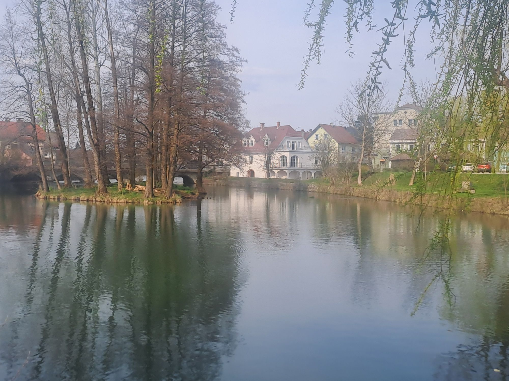
The destination route "Kočevski kolesarski krog" offers an excellent way to get to know our destination and its special features, which will take you to the most beautiful corners of Kočevska on 141 kilometers....
The destination route "KoÄevski kolesarski krog" offers an excellent way to get to know our destination and its special features, which will take you to the most beautiful corners of KoÄevska on 141 kilometers. On the way, you will be able to visit the outskirts of primeval forests, take part in guided wildlife watching, visit the Kolpa river and taste fresh and local food at various locations.
This is the last, 4th day of the cycling adventure in KoÄevsko



The last day of the KoÄevje cycling adventure will begin with a pleasant breakfast at Rajhenav Farm, from where the route will lead you back to the starting point - towards KoÄevje. On the way, you can stop at Prelesnikova koliševka and visit the Željnjske jame, and finally have an excellent lunch in KoÄevje, book a place to stay and for a complete experience treat yourself to some other experience (survival in nature, tracking and observing wild animals, ...). For additional information on the offer and advice, stop by one of the Tourist Information Centers of the KoÄevsko destination (TIC Jezero, TIC Hostel Bearlog, TIC KoÄevje Railway Station and TIC KoÄevska Reka), where the informants will help you find the right activities for you and your way of traveling.
Ljubljana-KoÄevje
You can arrive to KoÄevsko by bus or train
Available
Parcours populaires à proximité
-
Le parcours vélo de l’ours
difficileVTT 50,5 km -
Sentier de randonnée Rog
moyenRandonnée 60,5 km -
Sentier de montagne Trimček
moyenRandonnée 11,5 km -
Le parcours à vélo thermal spa
moyenVTT 35,5 km -
Le parcours vers Dolenjske Toplice et la montée à Baza 20 (Base 20)
moyenVTT 46,2 km -
5,0
izvir Radeščice - Sedlata gorica - Podturn
moyenRandonnée 8,72 km -
Pohod po medvedovih stopinjah 2025
Randonnée 38,4 km -
Ivanjše - Pleterski hrib - Trška gora - Stična
Chemin de Grande Randonnée 130,4 km -
Kočevje - Skrajnik - Šušnjar - Rudnik
Trail running 17,6 km -
Kočevje - Nanos - Konjsko - Rudnik
Trail running 11,0 km
Randonnée et suivi


Ne manquez pas les offres et l'inspiration pour vos prochaines vacances
Votre adresse électronique a été ajouté à la liste de diffusion.





