






Cycling trail from Novo Mesto to Dolenjske Toplice

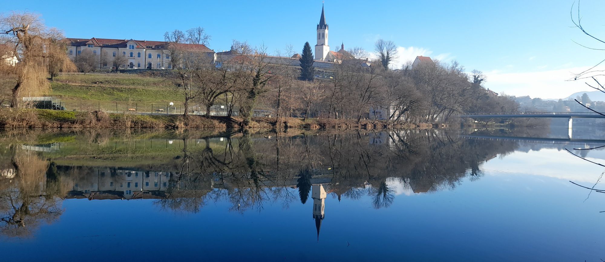
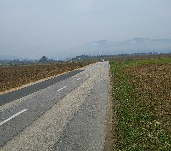
The trail runs partly along marked bike paths (especially near Novo Mesto), partly along macadam roads and field tracks. At times it crosses the main road where caution is required. Dolenjske Toplice,...
The trail runs partly along marked bike paths (especially near Novo Mesto), partly along macadam roads and field tracks. At times it crosses the main road where caution is required. Dolenjske Toplice, which is both a settlement and the oldest health center in Europe, is a popular destination for relaxation in thermal pools throughout the year.
In addition to the thermal pools, you will also find fun instalations, that include water slides and other water gymics, that will also satisfy children, or children at heart. If you prefer natural bathing areas, the trail runs past one, in Vavta Vas village, which also has a controlled water quality, so you can swimm without worries.

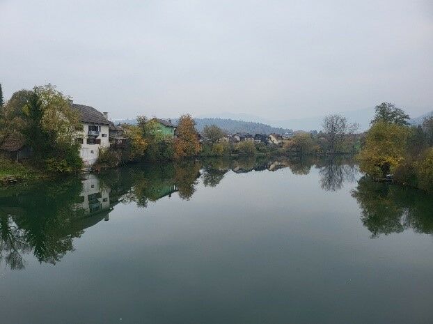




The trail starts on Glavni trg (main square), the center of Novo Mesto, from where you cycle to the main connecting street - Seidlova, where you cross the crossroads and turn left along the red-painted bike path. Continue straight along the concrete bridge, from which you will see a sports park on the right with a boathouse for renting boats, canoes and SUP's along the Krka River. After crossing the bridge, continue right along the bike path and past the Tuš store slightly uphill.
At the top of the hill, continue down past the Špar store, the marked bike path takes you out of town. On the right, business premises and halls of various companies are expanding, which in themselves tell the story of Novo Mesto as a rapidly developing economic center of the region. At the cemetery, cross left across the regional road Novo Mesto --- Dolenjske Toplice.
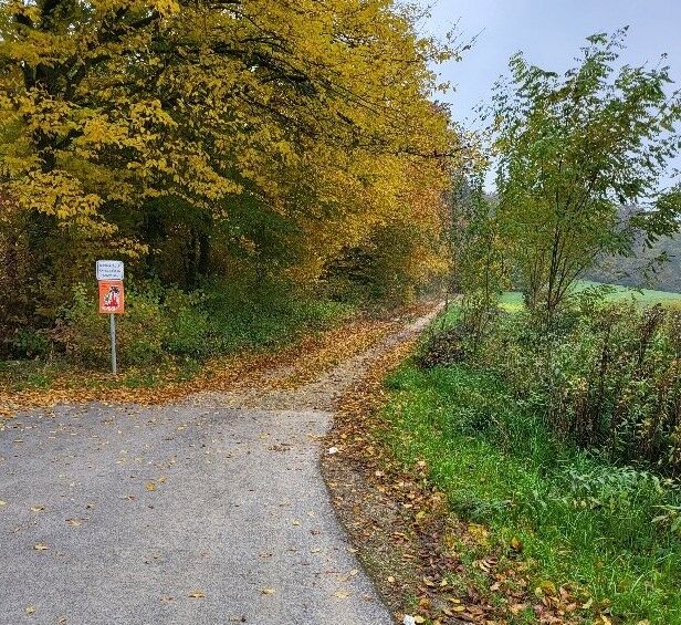
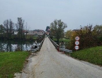
When the cemetery ends, the paved bike path also ends. Continue along the forest path, conveniently marked with the red marking of the cycle path to Dolenjske Toplice. Cycling takes place on macadam and forest trails. However, a mountain bike is not necessary. After a short descent, turn right onto the local asphalt road and then right again, at the intersection with the regional road Novo Mesto - Dolenjske Toplice. You cross the regional road and over the wooden bridge also the river Krka, towards the village of Loke. Cycle through the village of Loke to the crossroads with the local road Preloke-Straža and left along it in the direction of the village Straža.
After about 2 km, you can cycle on the wide sidewalk, which is intended for dual use: pedestrians and cyclists - so be careful! At the next crossroads, you will turn left ,downhill, towards the center of the village of Straža. In the center of Straža, turn left down to the bridge over the river Krka. The bridge has a separate bike path and leads to the village of Vavta, a village on the right bank of the Krka.
After the bridge, turn right and then immediately left, over the regional road Novo Mesto - Dolenjske Toplice, into a small slope. Cycle through the village straight down the local road. You soon reach a horse stable where you turn right onto a cart track between fields. At the end of the cart track, turn right onto the local paved road, which will take you almost back to the main regional road. Just before the regional road, turn left, between the houses, back to the cart track or macadam road.
The cart track will slowly take you to the village of Dolenje GradišÄe and through it on to Gornje GradišÄe. In the village, turn right down to the regional road. On the main road, turn left. Attention, the separate bike path has not been arranged yet. You will officially finish the cycling route in the parking lot in front of the post office in Dolenjske Toplice
Oui
Helmet and a bike with lights
Caution at the crossroads with the main road
Novo Mesto lies right next to the highway Ljubljana- Zagreb. You will reach the main square if you follow the signs for Center.
You can arrive to Novo Mesto with bus or train.
Payable in the city

Parcours populaires à proximité
-
Sentier du cœur Adrijaničeva de Šmarješke Toplice à Otočec
facileChemin thématique 4,62 km -
Le parcours vélo de l’ours
difficileVTT 50,5 km -
Parcours Rudolf
moyenVTT 38,4 km -
Balade à vélo autour de Novo Mesto
moyenVTT 34,8 km -
5,0
Mach heritage trail
moyenRandonnée 9,99 km -
Sentier européen de grande randonnée E7 (Slovénie)
difficileChemin de Grande Randonnée 563,5 km -
Cycling trail Novo Mesto - Žbure
moyenFaire du vélo 18,6 km -
Cyclisme rafraîchissant le long du ruisseau Radulja
moyenVTT 43,1 km -
Sentier de randonnée Rog
moyenRandonnée 60,5 km -
Jusqu'à la ferme Šeruga
facileRandonnée 6,88 km
Randonnée et suivi


Ne manquez pas les offres et l'inspiration pour vos prochaines vacances
Votre adresse électronique a été ajouté à la liste de diffusion.





