


The Carsus Trail, Stage 3: Lipa – Štanjel
Niveau de difficulté: T2
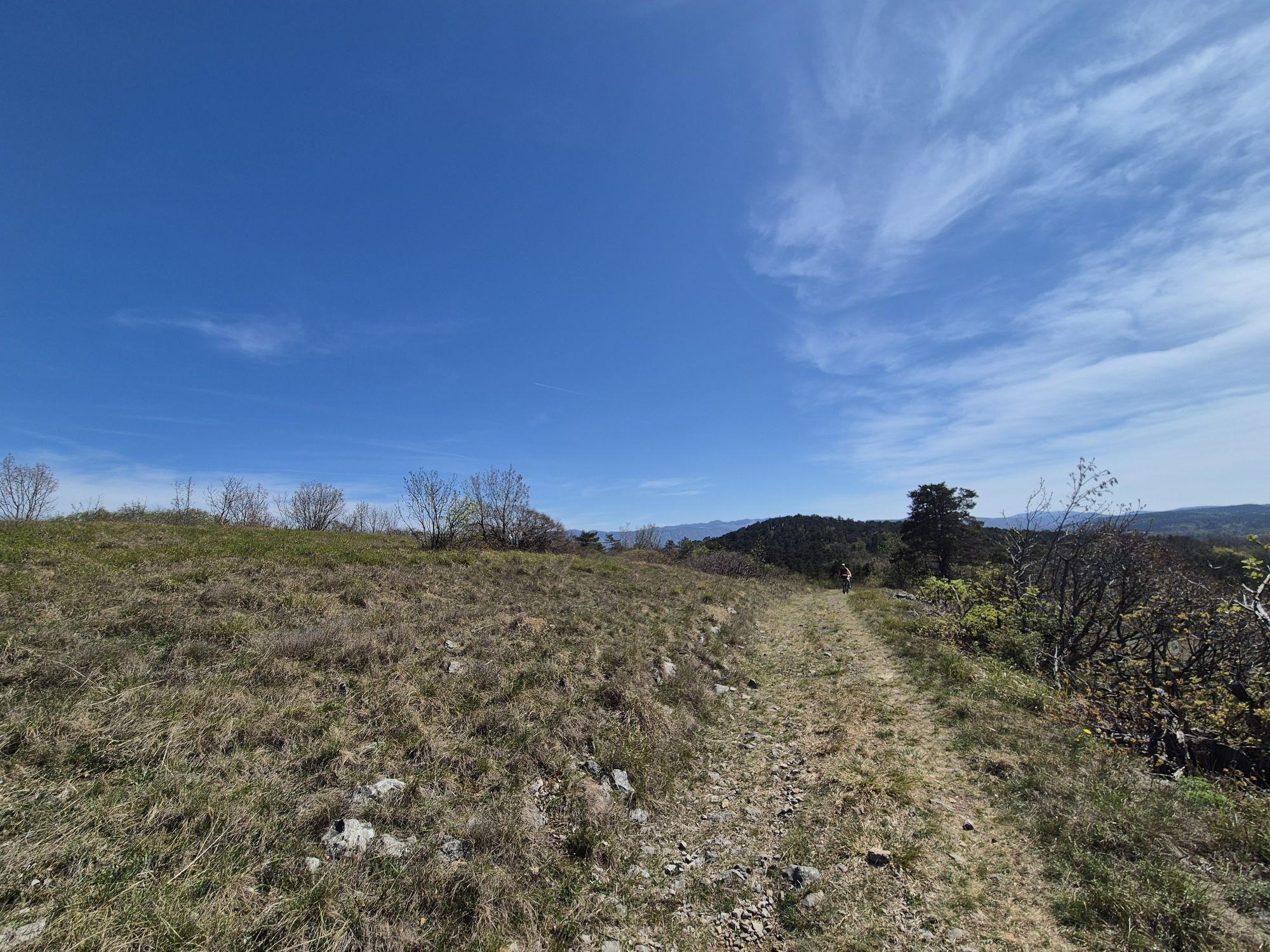
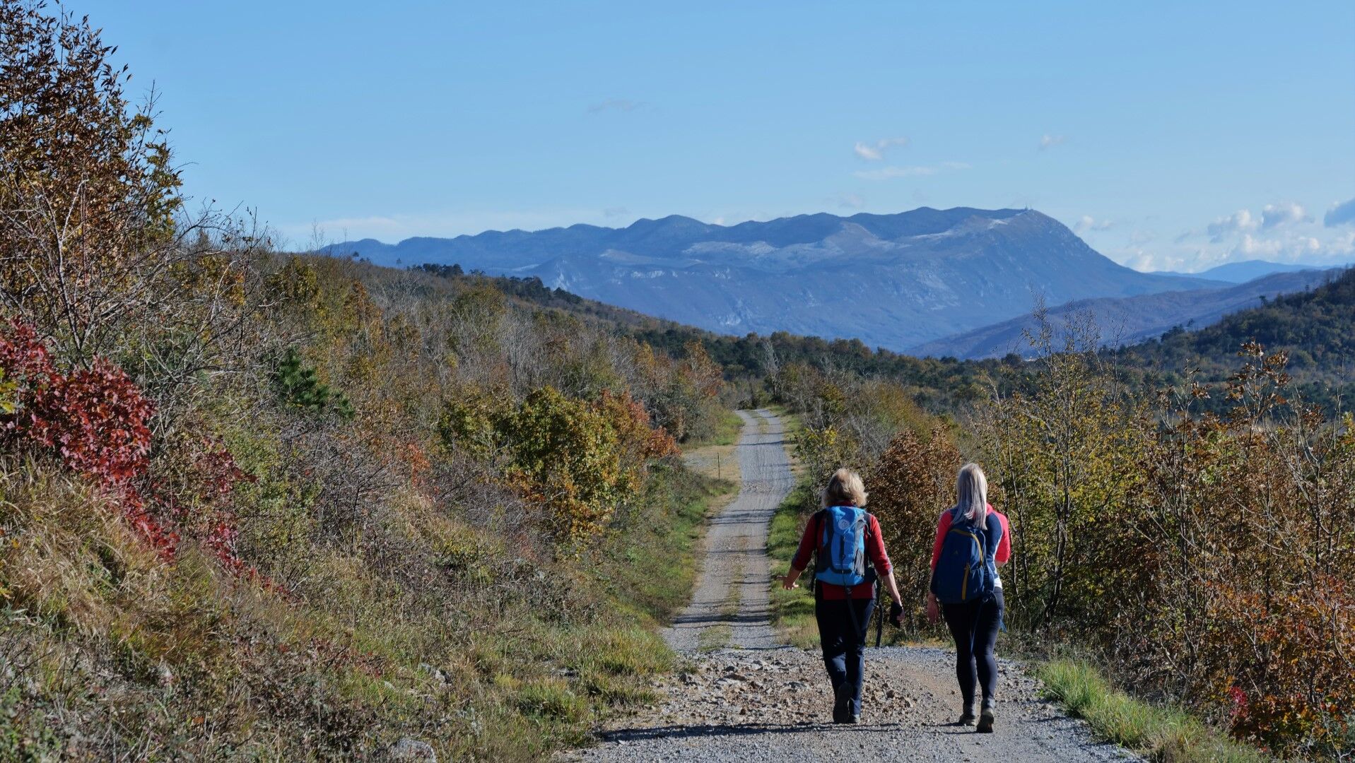
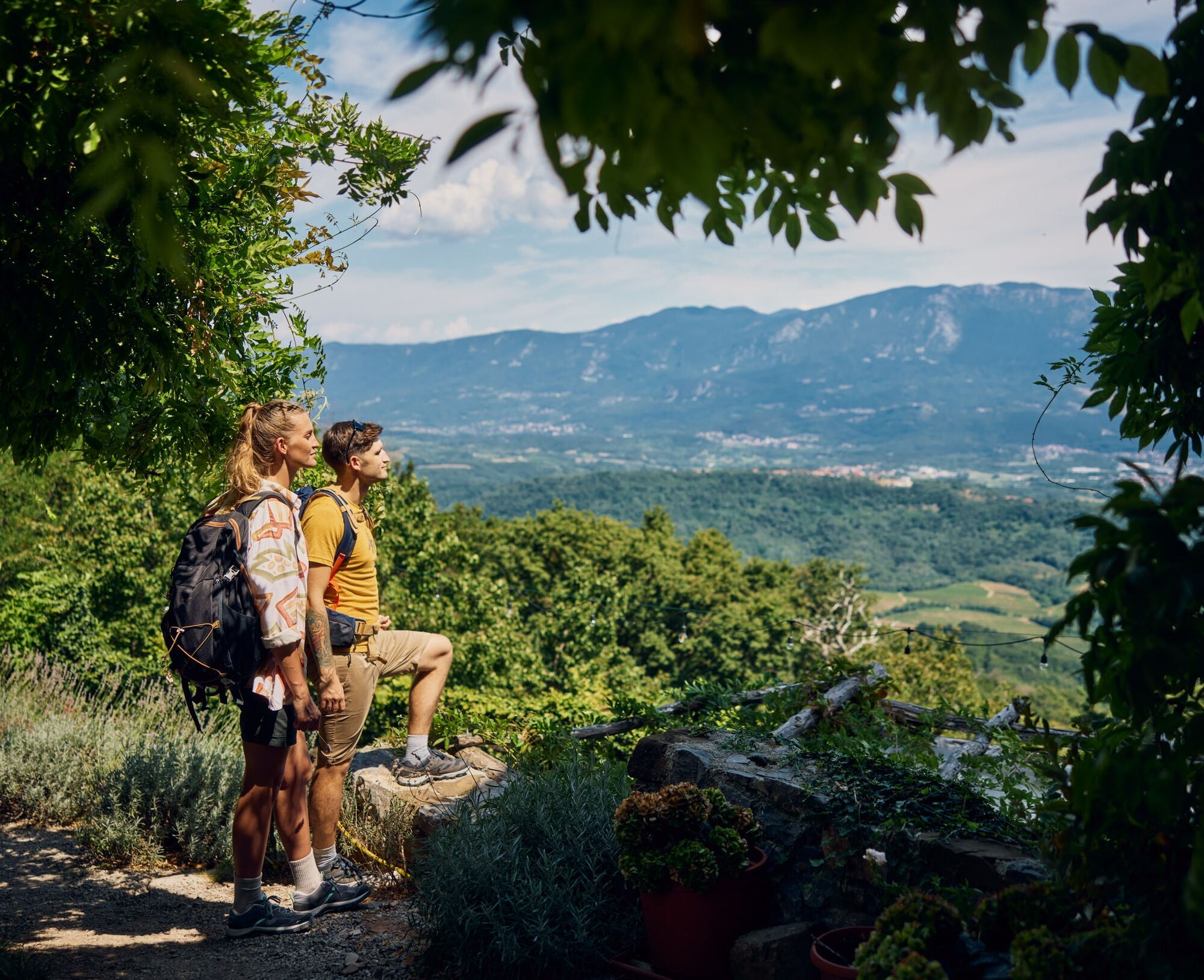
On the third day of the Carsus Trail, good weather rewards you with wide views and four standout highlights.
Right at the start, climb past the mountain hut to Trstelj. At 643 m above sea level, it is the...
Right at the start, climb past the mountain hut to Trstelj. At 643 m above sea level, it is the highest peak of the Karst plateau and offers sweeping views. Look across the long Vipava Valley, over the karst plains towards the sea, and north and west to the long chains of the Julian Alps, the Carnic Alps and the Dolomites.
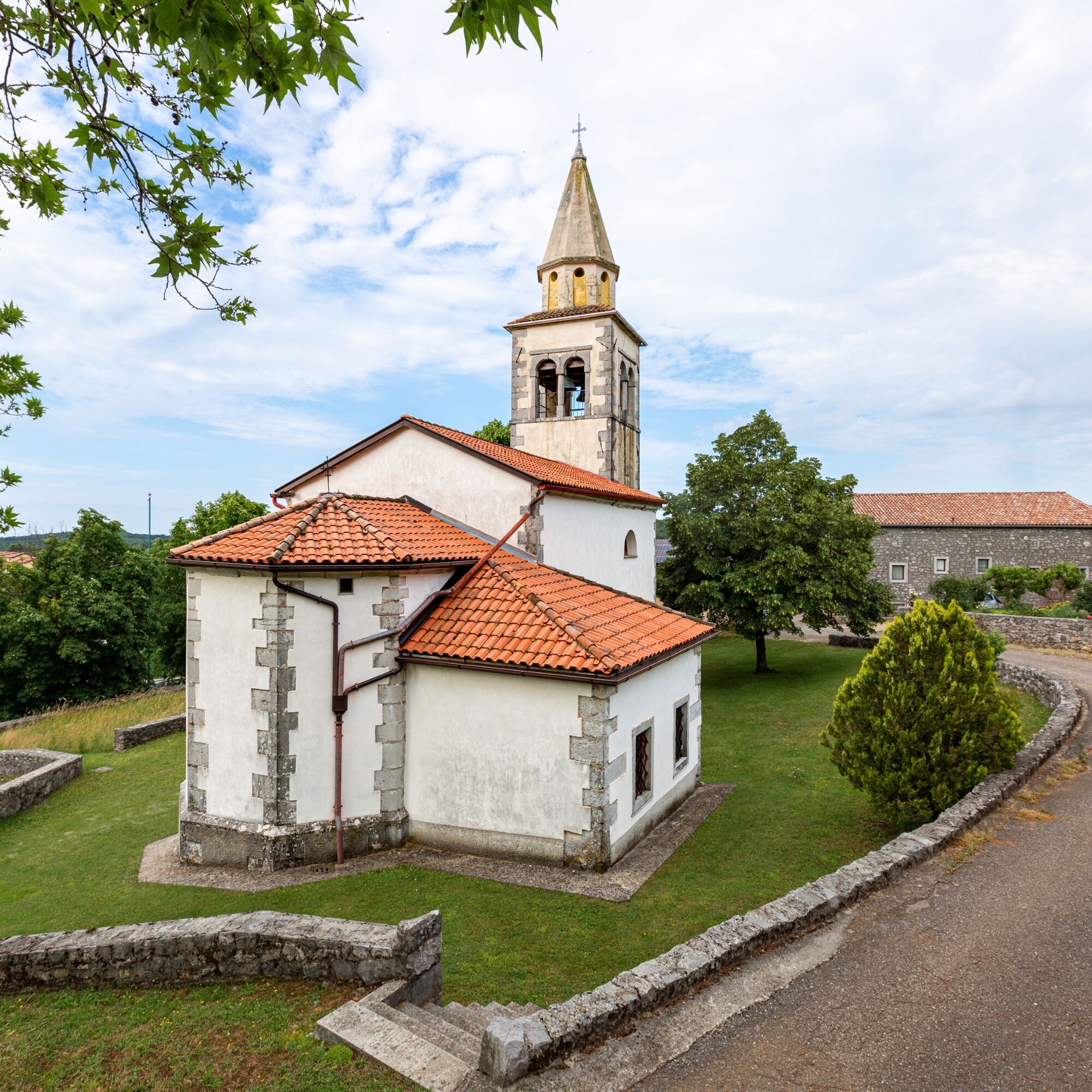
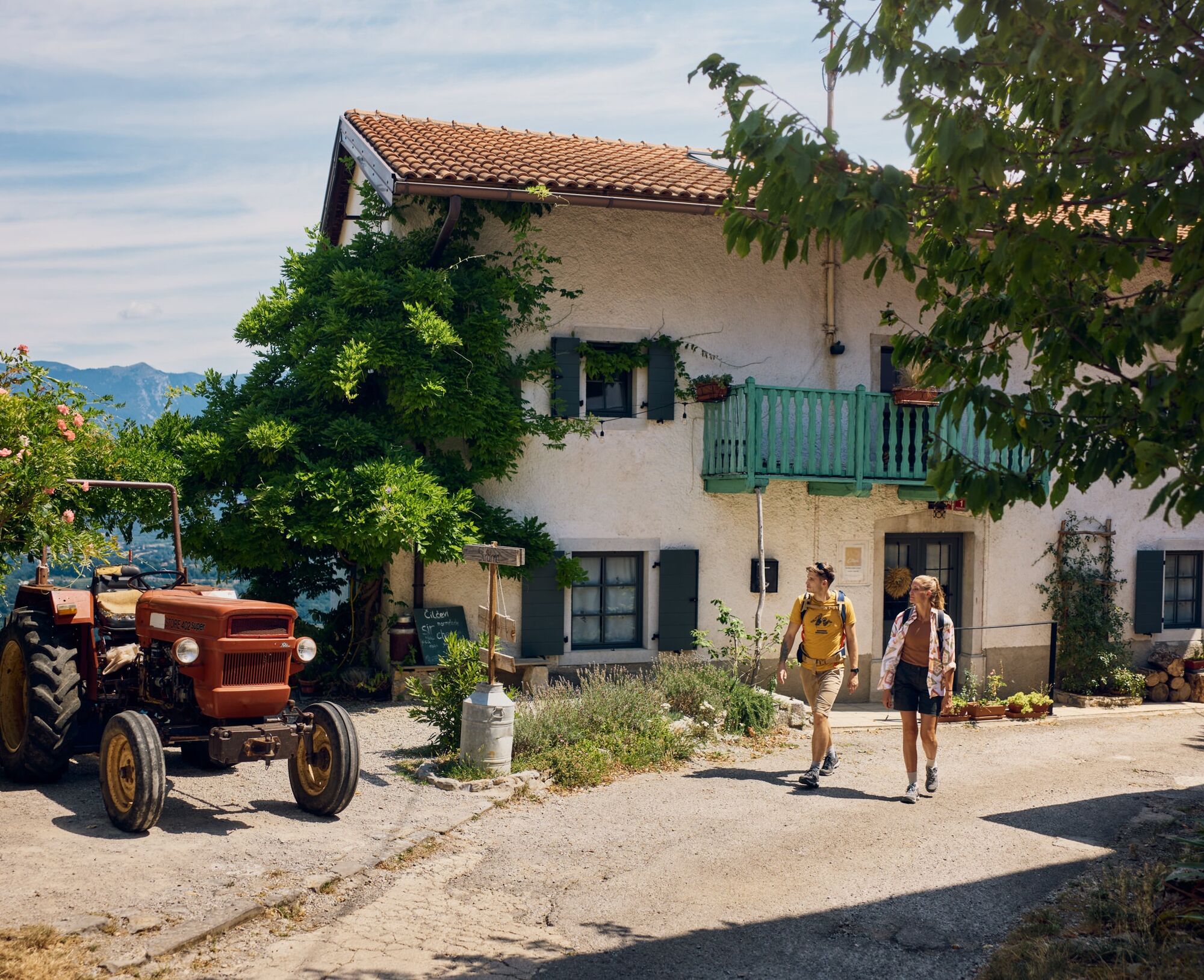
Descend from Trstelj to the valley through Pedrovo, a lovely and carefully restored village with a small church, old homesteads, tourist farms and a gallery. It is an excellent example of local architecture and a responsible approach to traditional built heritage.
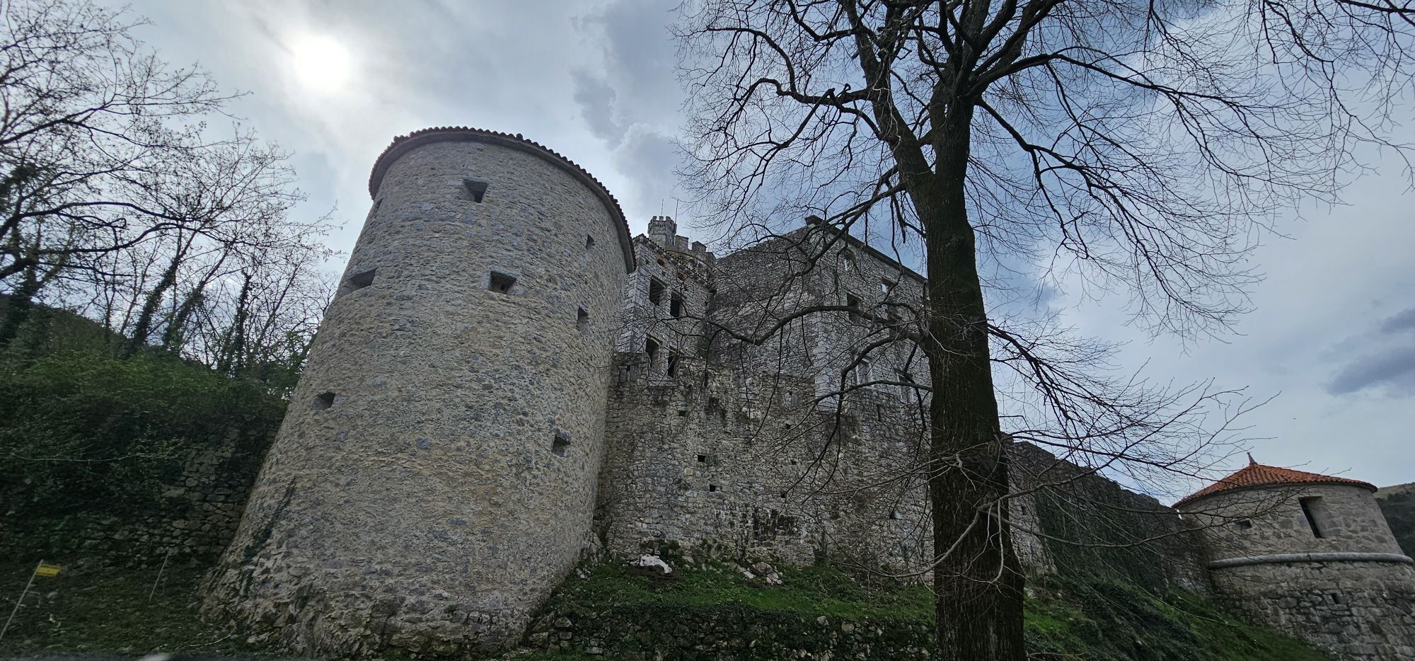
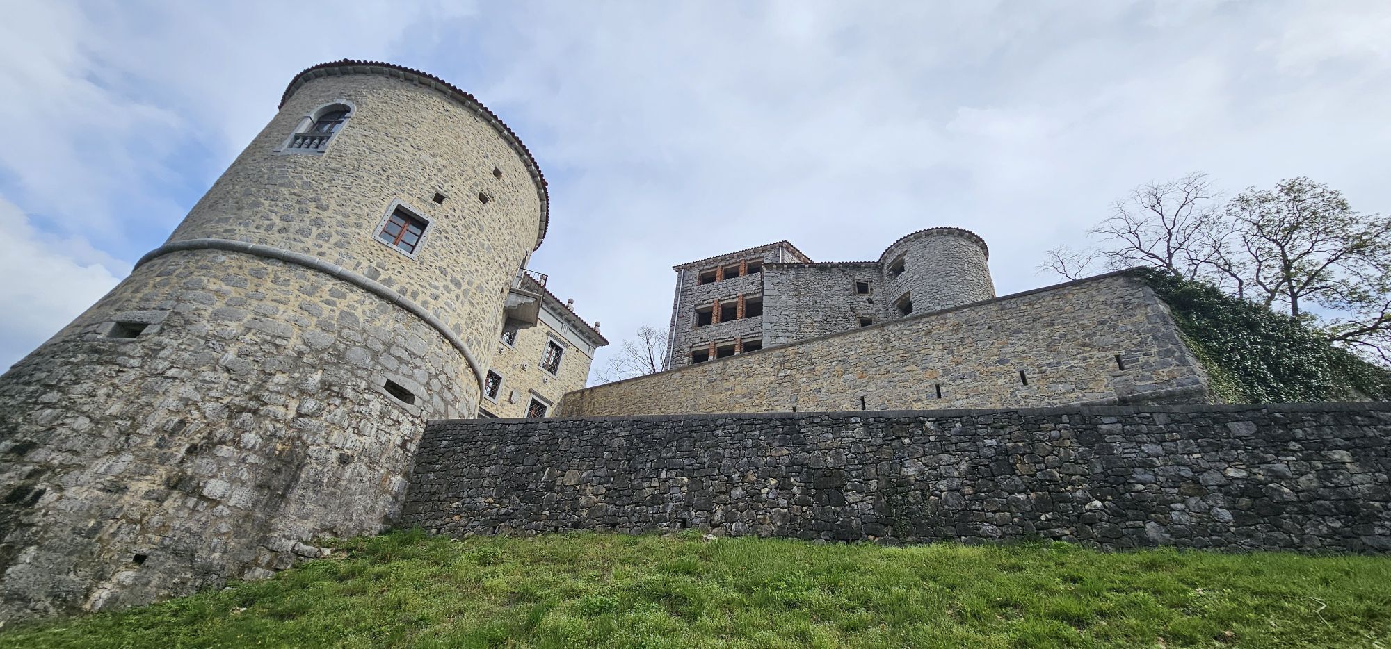
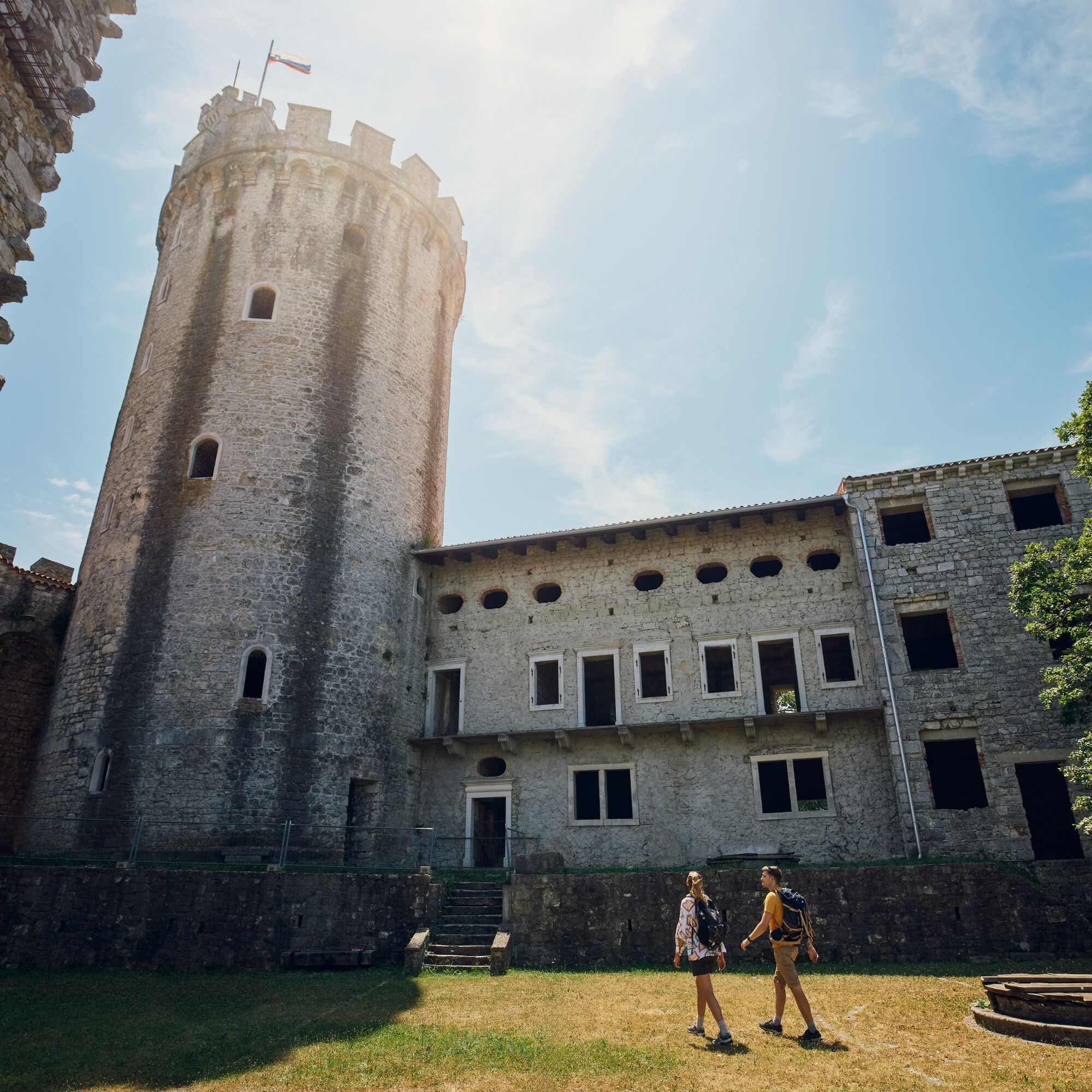
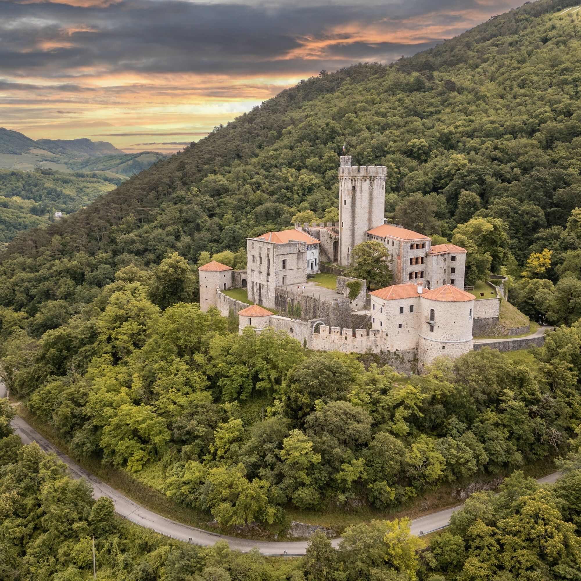
Then descend to Rihemberk Castle. Even the view from the path towards this mighty structure and its 27 m central tower is impressive. For more than eight centuries, the castle has stood as the most striking building in the valley.
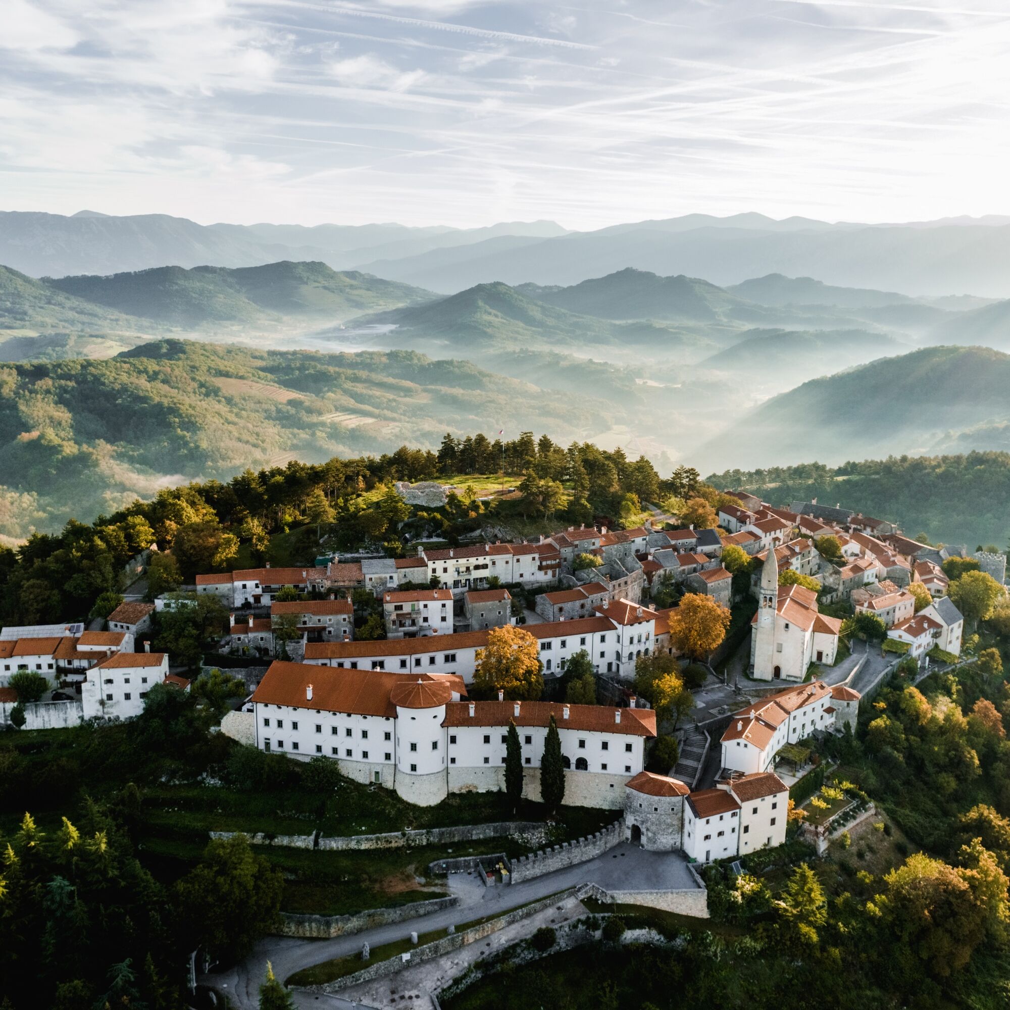
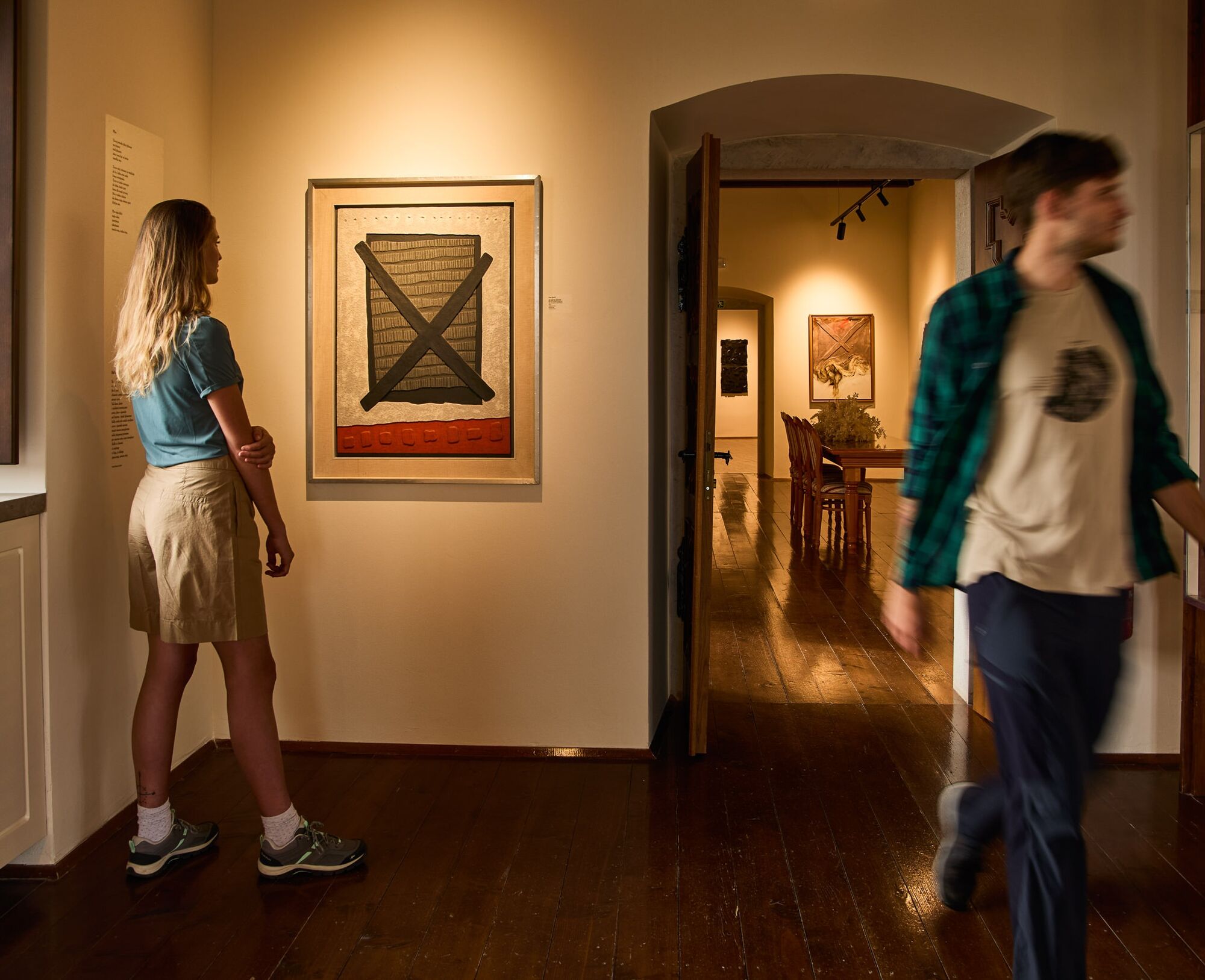
From the castle, climb back across the karst plains above the Branica Valley and continue through Lukovec to old Štanjel, one of the best-preserved medieval settlements in Slovenia.


From the hut, climb to the top of Trstelj (643 m), the highest peak on the Slovenian Karst and the highest point of the Carsus Trail.
Descend from the summit on the gravel road. When the road turns back towards the hut, continue straight east on the path. First walk along the distinct ridge, then continue down across wooded slopes to the tarmac road.
Cross the road and continue east on the gravel track, staying on the sunny southern side of Sveta Katarina, Lipnik and Mali OvÄnjak.
At the junction by the old linden tree, turn left to the northern side towards the village of Pedrovo.
Follow the forest road down to the junction on the small saddle. Continue across the saddle, then down to the right, and around Mali hrib and Veliki hrib to the beautiful village of Pedrovo.
From the village, descend past the church on the access road into the valley. The lower you go, the finer the view of the magnificent Rihemberk Castle. When your road joins the local road leading to the Karst, continue down to the castle. If it is open, take the opportunity to visit it.
Find the path for the next section just behind the car park on the bend before the castle garden. It climbs steeply through the forest to the next fire track, laid out across scenic grassy slopes on Golec above the Branica Valley.
At the first junction, take the right branch. After a short serpentine section, climb onto the open plateau and turn left towards the village of Lukovec.
You can walk through Lukovec, or continue on the fire tracks below the village to the second junction soon after it.
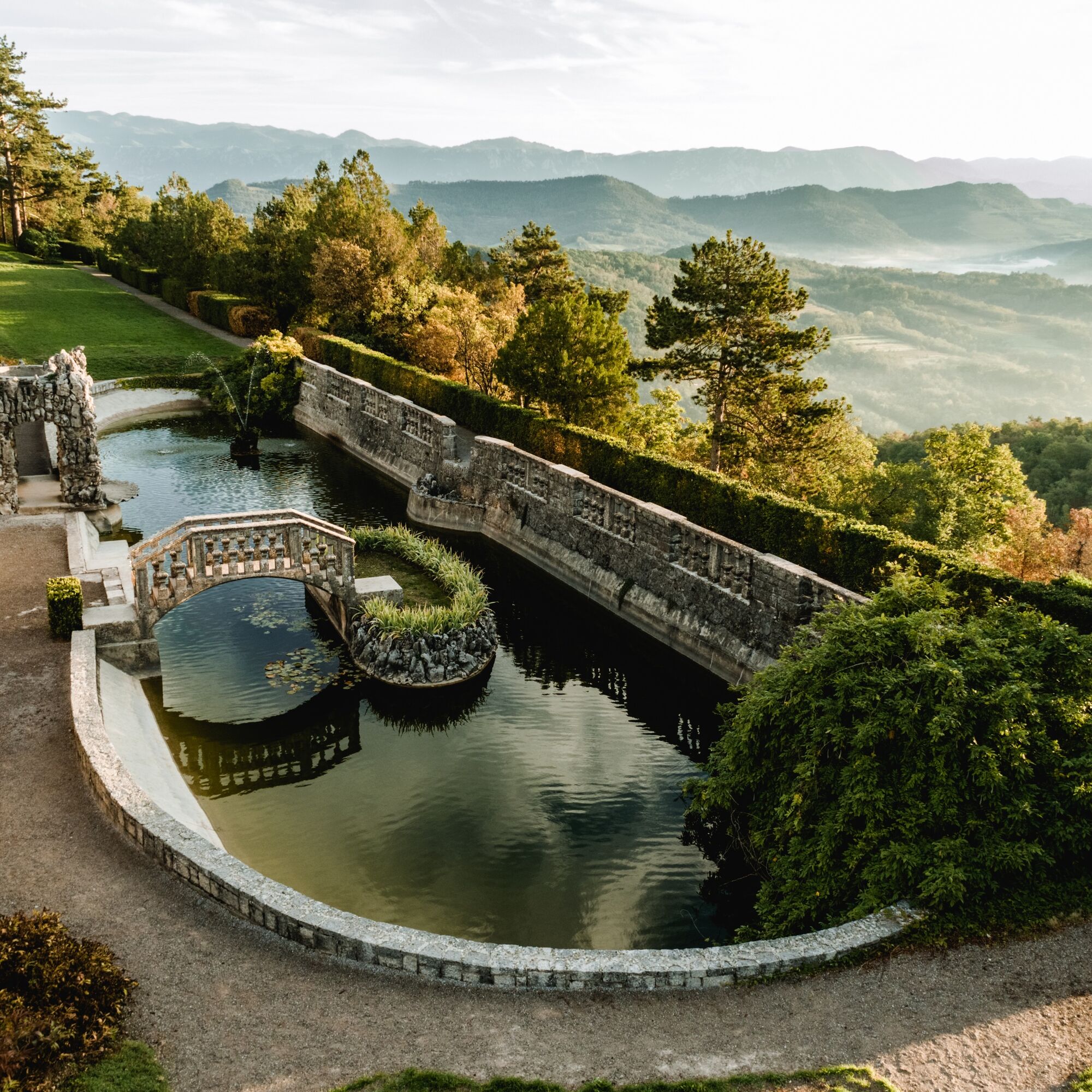
From there, take the marked path across the karst plains. It first joins easier tracks and then leads on to Štanjel behind its mighty castle and medieval walls, the end of stage 3. Do not miss a relaxing stop in the Ferrari Garden, one of the most beautiful Mediterranean terraces designed by Max Fabiani.
Oui
Oui
Standard hiking equipment, light hiking shoes and clothing suitable for the season.
The trail is passable all year round, but the best and most beautiful times are during spring and autumn. It will not disappoint even in winter, but in summer the temperatures may be uncomfortably high.
You can reach Lipa from several directions. The two most convenient are from Nova Gorica / Gorizia via Miren and Kostanjevica, or from Štanjel via Komen.
There is no public transport along this stage. In Štanjel, you will find a train and bus station with regular connections.
Park in Lipa in a small parking lot below the church.
T2
If you have enough energy and endurance, you can extend the second stage from Renče to Lipa over the top of Trstelj to Pedrovo. An even better choice is to divide the third stage between Lipa and Štanjel on Pedrovo into two parts, taking your time so you can do them slowly and really enjoy yourself.
Plan your walk so you can visit both castles while they are open. Rihemberk has limited opening times, while Štanjel welcomes visitors every day.
Parcours populaires à proximité
- 4,9
Rilkeweg
facileRandonnée 6,19 km - 5,0
Etappe 34 Alpe-Adria-Trail: Duino - Prosecco
moyenChemin de Grande Randonnée 24,3 km - 3,7
Parcours vers le pont naturel en pierre de Skozno
facileRandonnée 5,62 km - 4,0
La fenêtre naturelle Otlica
moyenRandonnée 10,5 km - 5,0
Sentier de la Sauge ou Tiziana Weiss
facileRandonnée 2,41 km Carsus Trail - un sentier de longue distance à travers la région du Karst en Slovénie et en Italie
moyenChemin de Grande Randonnée 102,2 km- 5,0
Sentier le long du bord
facileRandonnée 14,5 km Dall’obelisco di Opicina ad Aurisina, lungo il ciglione carsico
Chemin de Grande Randonnée 16,8 kmEducational Trail along the River Hubelj
facileRandonnée 3,79 kmParcours vélo - Brda, vallée de Vipava, Karst
difficileFaire du vélo 93,3 km
Randonnée et suivi


Ne manquez pas les offres et l'inspiration pour vos prochaines vacances
Votre adresse électronique a été ajouté à la liste de diffusion.