


Route of Mt. Little Miezegnot and Mt. Jôf di Miezegnot
Niveau de difficulté: T3
Photos de nos utilisateurs

 © Daniele Da RioCréé le 25.12.2025
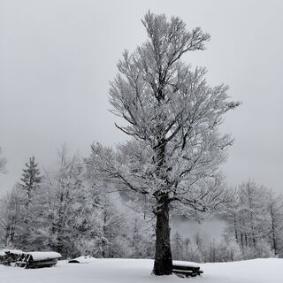 © Daniele Da RioCréé le 25.12.2025
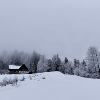 © Daniele Da RioCréé le 25.12.2025
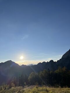
 © kschneiderCréé le 06.09.2025
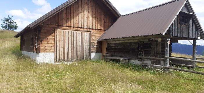
 © Alfred GrailachCréé le 09.07.2025
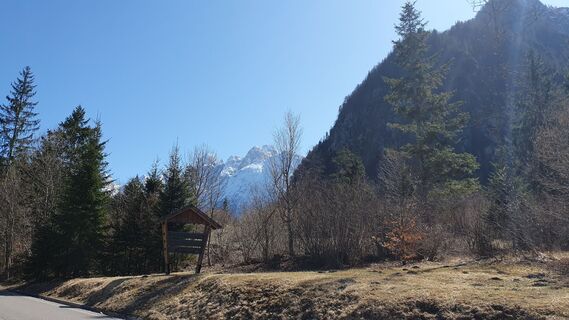
 © Fabrizio PlesnizerCréé le 06.04.2025
 © Fabrizio PlesnizerCréé le 06.04.2025
 © Fabrizio PlesnizerCréé le 06.04.2025
 © Fabrizio PlesnizerCréé le 06.04.2025
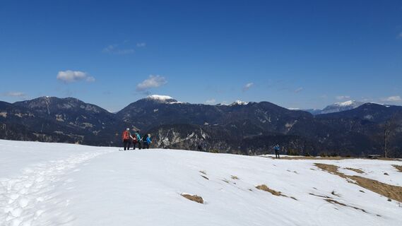 © Fabrizio PlesnizerCréé le 06.04.2025
 © Fabrizio PlesnizerCréé le 06.04.2025
 © Fabrizio PlesnizerCréé le 06.04.2025
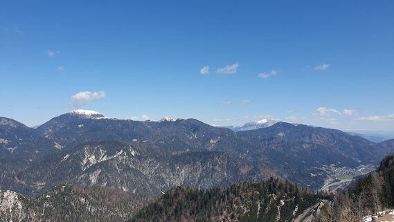 © Fabrizio PlesnizerCréé le 06.04.2025
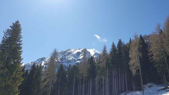 © Fabrizio PlesnizerCréé le 06.04.2025
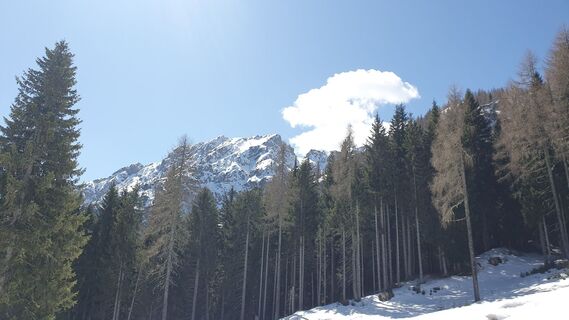 © Fabrizio PlesnizerCréé le 06.04.2025
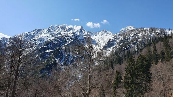 © Fabrizio PlesnizerCréé le 06.04.2025
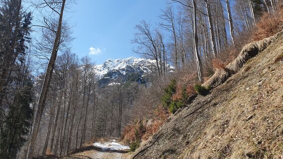 © Fabrizio PlesnizerCréé le 06.04.2025
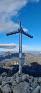
 © Martina OitzingerCréé le 30.10.2021
 © Martina OitzingerCréé le 30.10.2021
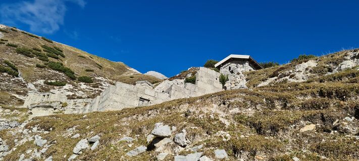 © Martina OitzingerCréé le 30.10.2021
 © Martina OitzingerCréé le 30.10.2021
 © Martina OitzingerCréé le 30.10.2021
 © Martina OitzingerCréé le 30.10.2021
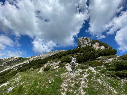
 © Fabio InfantiCréé le 03.07.2021
 © Fabio InfantiCréé le 03.07.2021
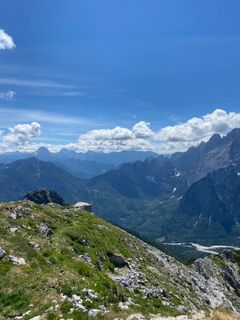 © Fabio InfantiCréé le 03.07.2021
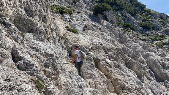 © Fabio InfantiCréé le 03.07.2021
 © Fabio InfantiCréé le 03.07.2021
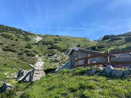 © Fabio InfantiCréé le 03.07.2021
 © Mono_XCréé le 03.02.2024
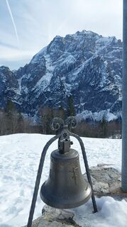 © Mono_XCréé le 03.02.2024
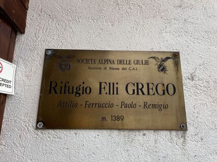
 © Thommy MaurerCréé le 29.10.2023
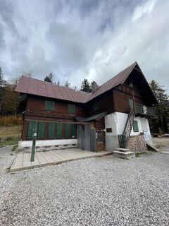 © Thommy MaurerCréé le 29.10.2023
 © Thommy MaurerCréé le 29.10.2023
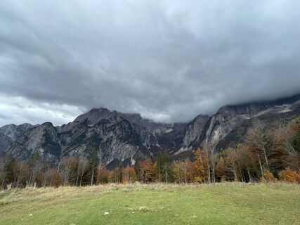 © Thommy MaurerCréé le 29.10.2023
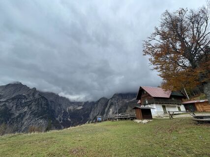 © Thommy MaurerCréé le 29.10.2023
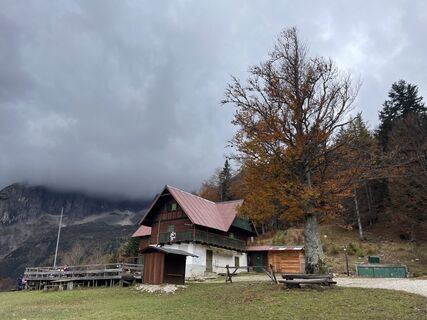 © Thommy MaurerCréé le 29.10.2023
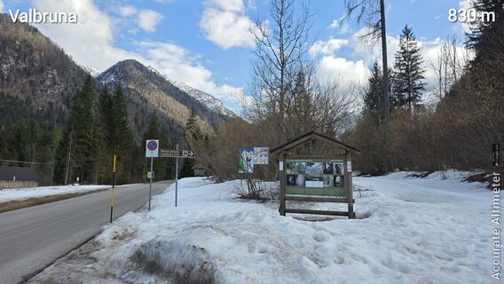
 © euterpe42Créé le 13.03.2026
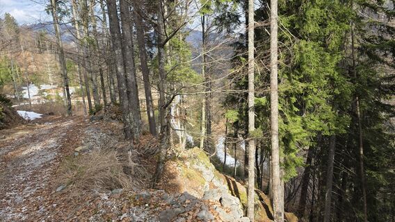 © euterpe42Créé le 13.03.2026
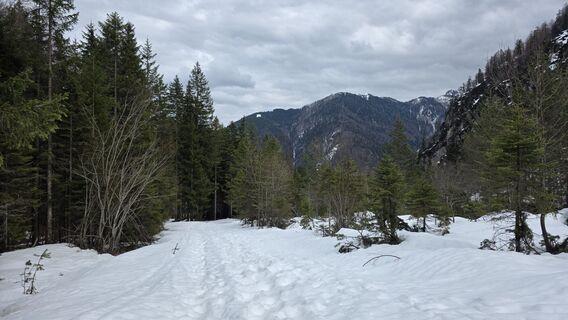 © euterpe42Créé le 13.03.2026
 © euterpe42Créé le 13.03.2026
 © euterpe42Créé le 13.03.2026
 © euterpe42Créé le 13.03.2026
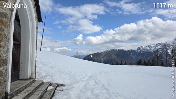 © euterpe42Créé le 13.03.2026
 © euterpe42Créé le 13.03.2026
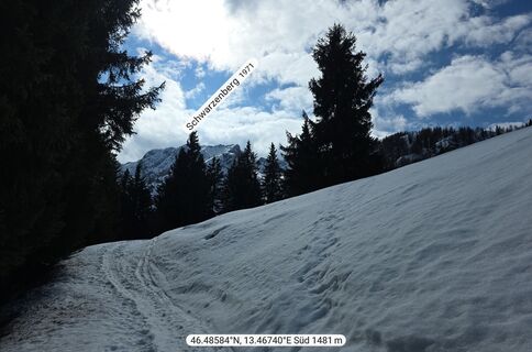 © euterpe42Créé le 13.03.2026
 © euterpe42Créé le 13.03.2026
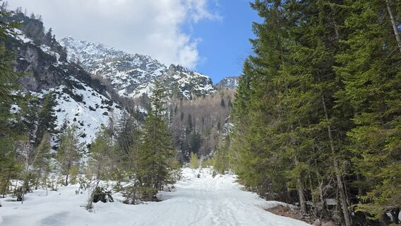 © euterpe42Créé le 13.03.2026


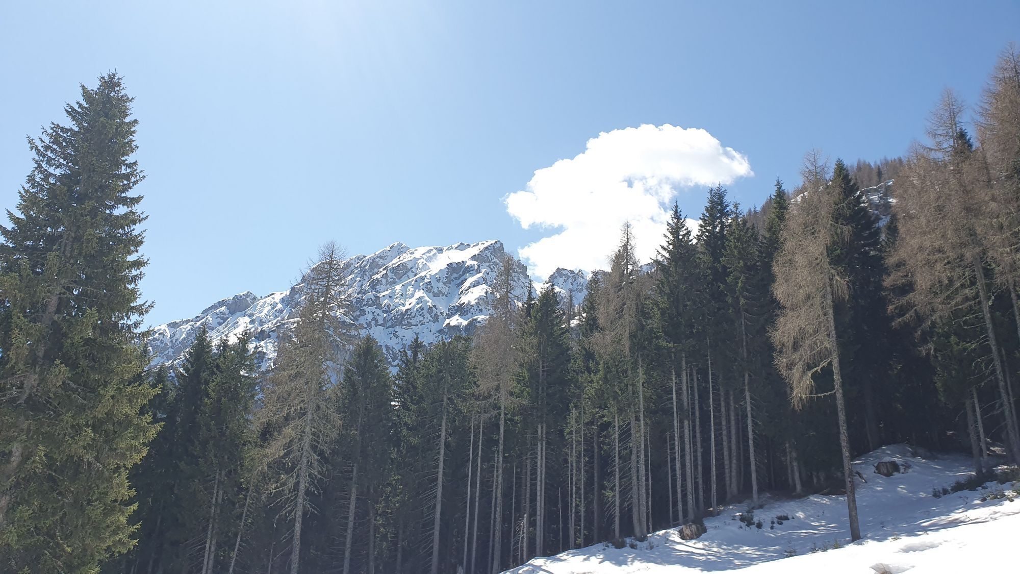


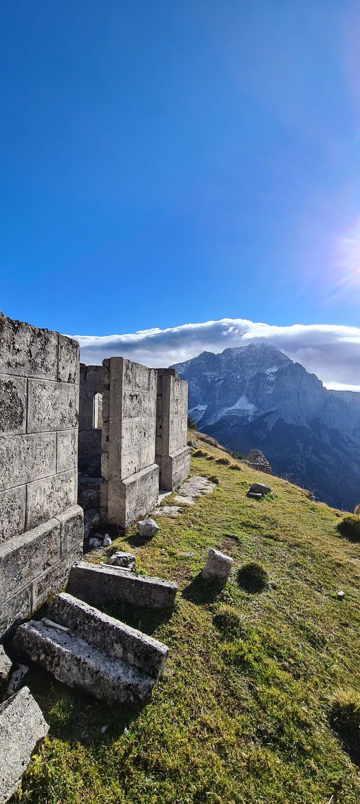

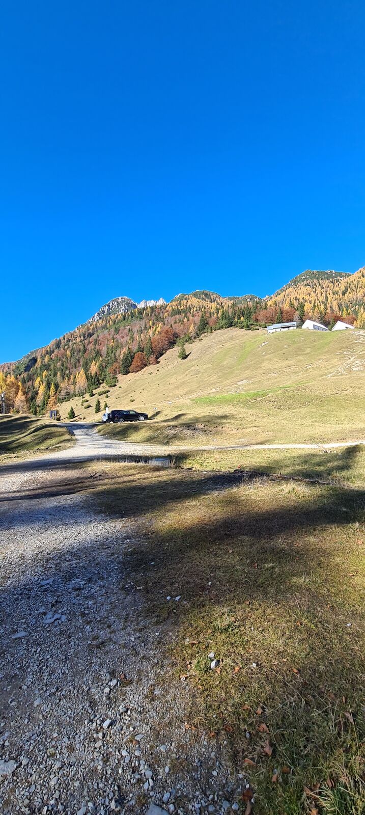


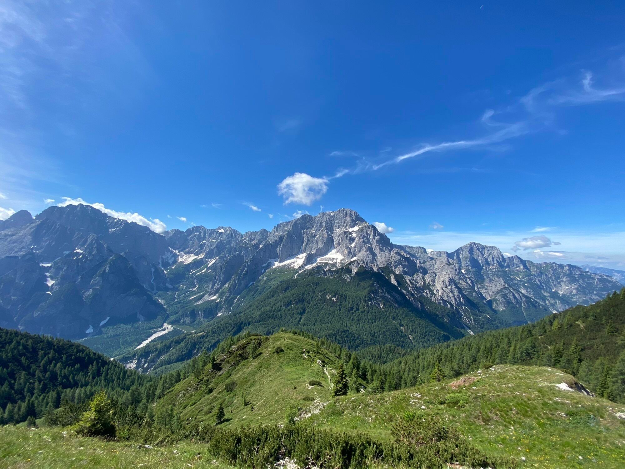
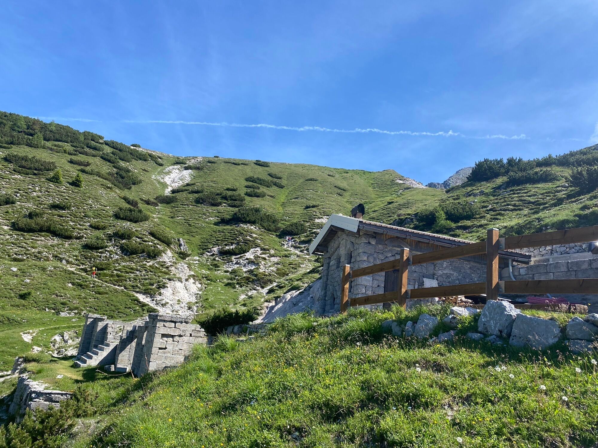


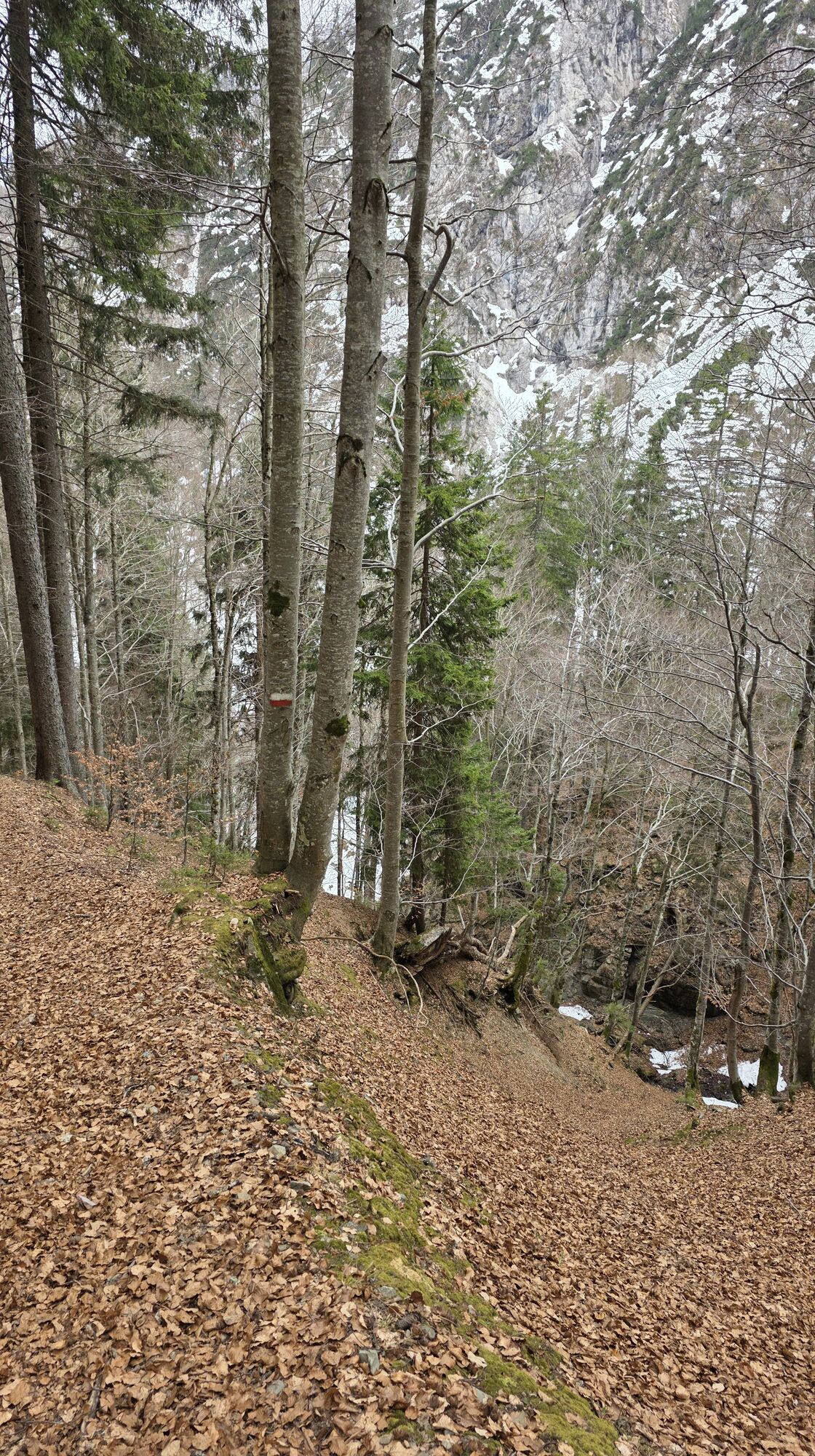

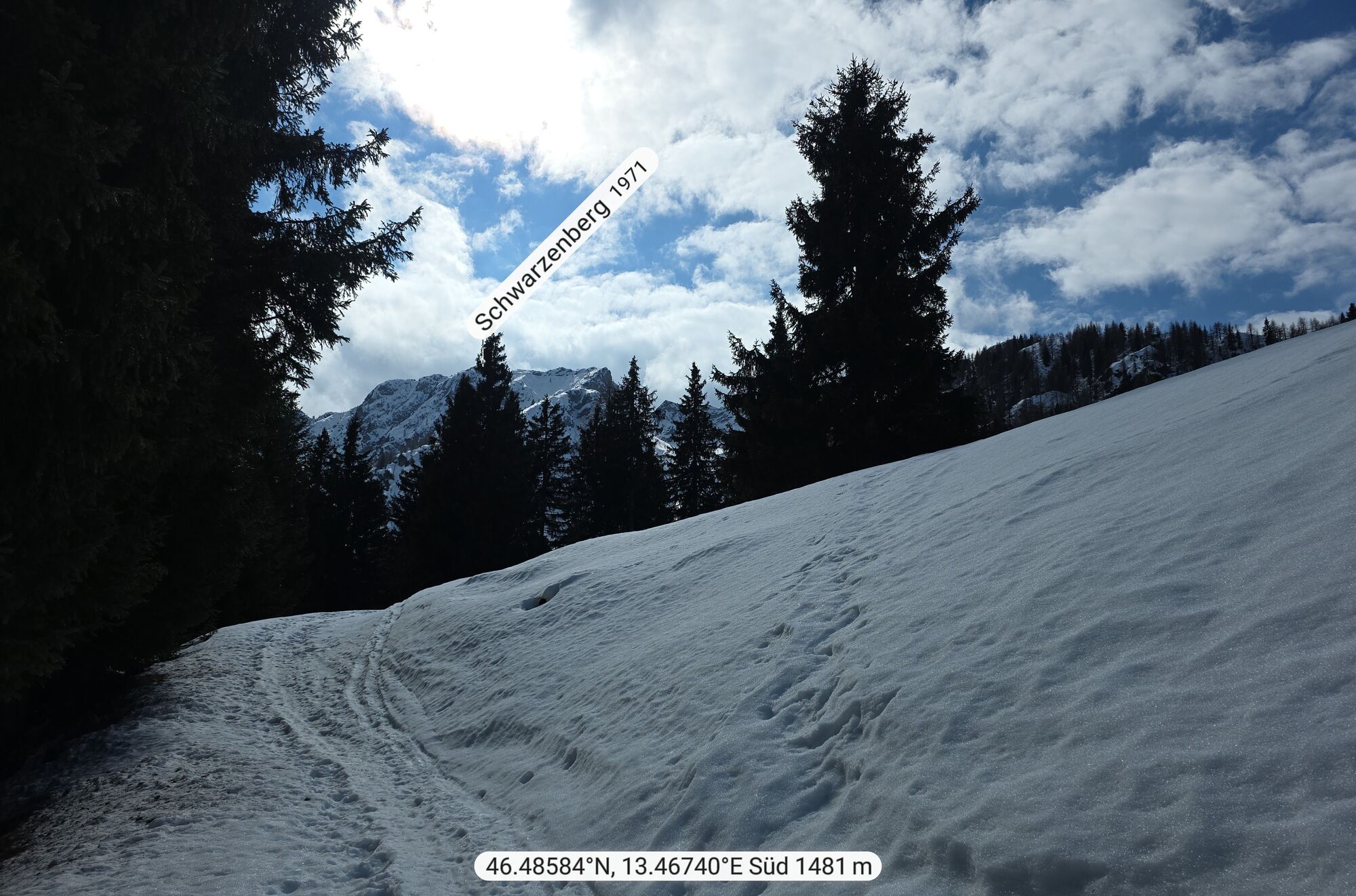


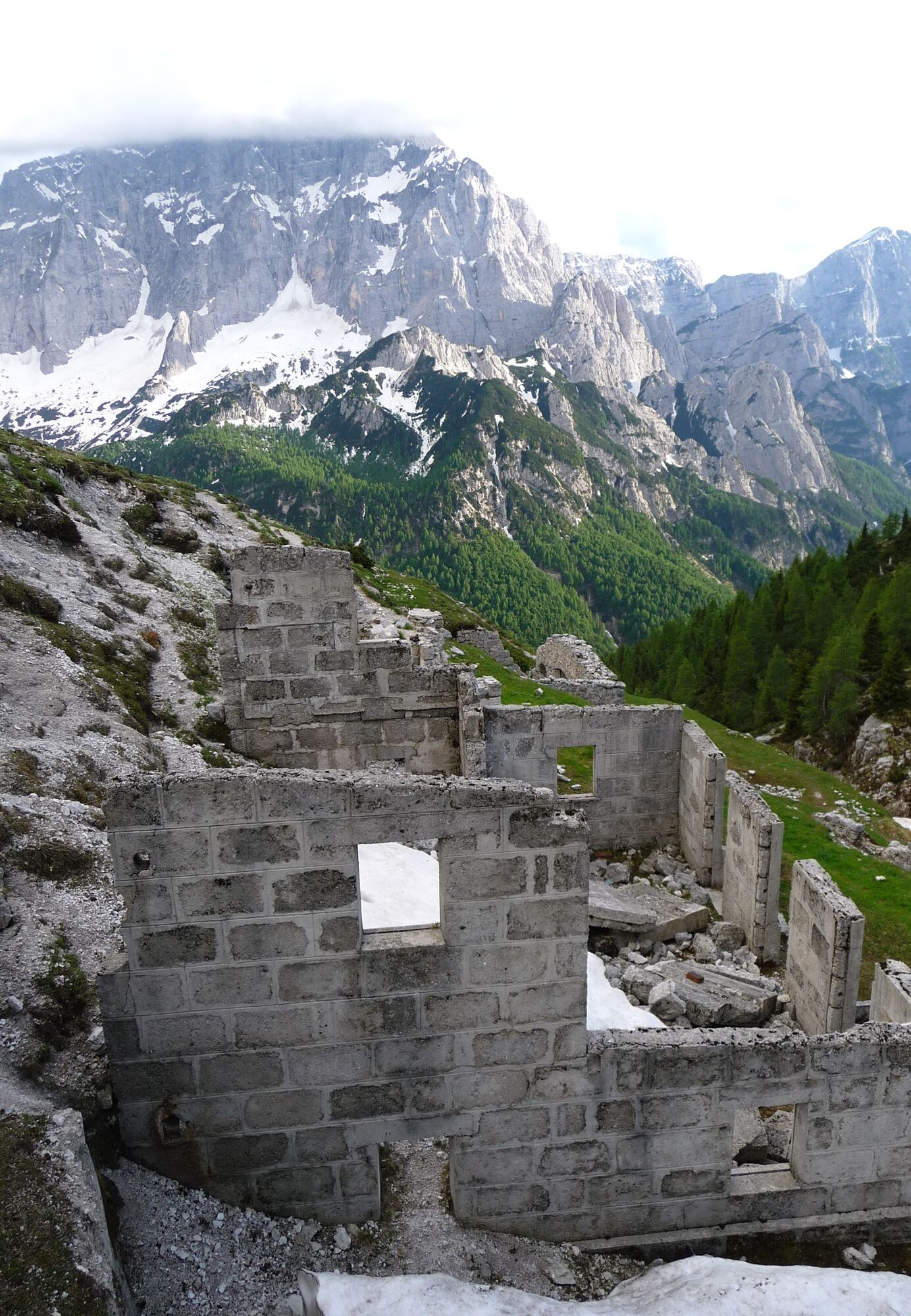
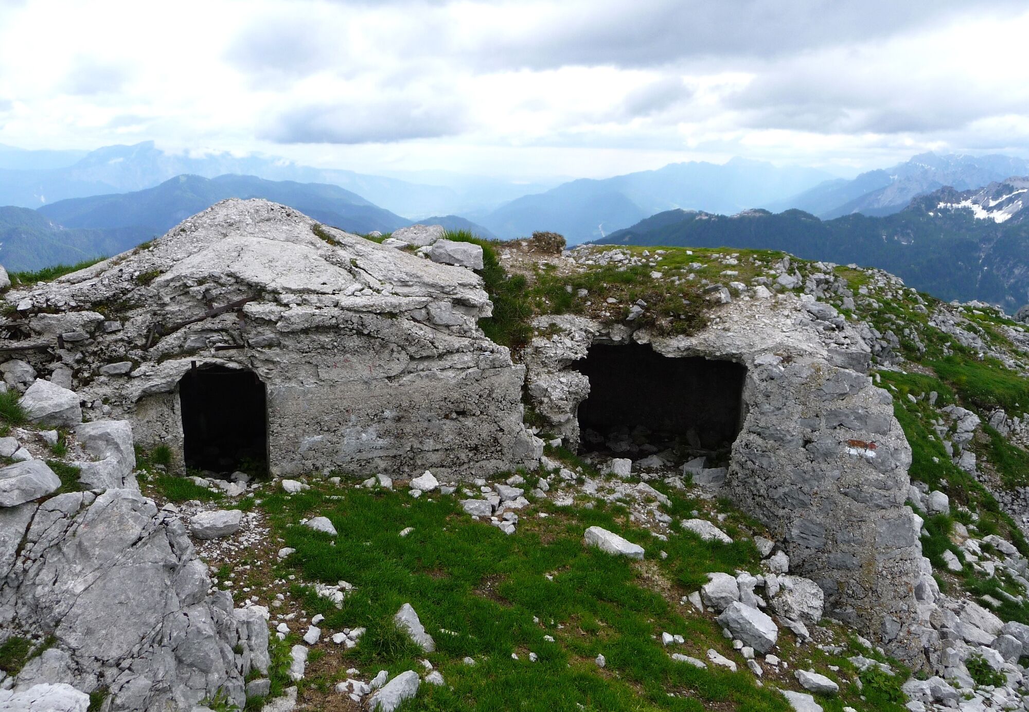
The Piccolo Miezegnot route (1,972 m a.s.l.) offers the chance to see the remains of Habsburg military structures. Starting from the Valbruna Heroes’ Cemetery (800 m a.s.l.), follow CAI trail 607 towards...
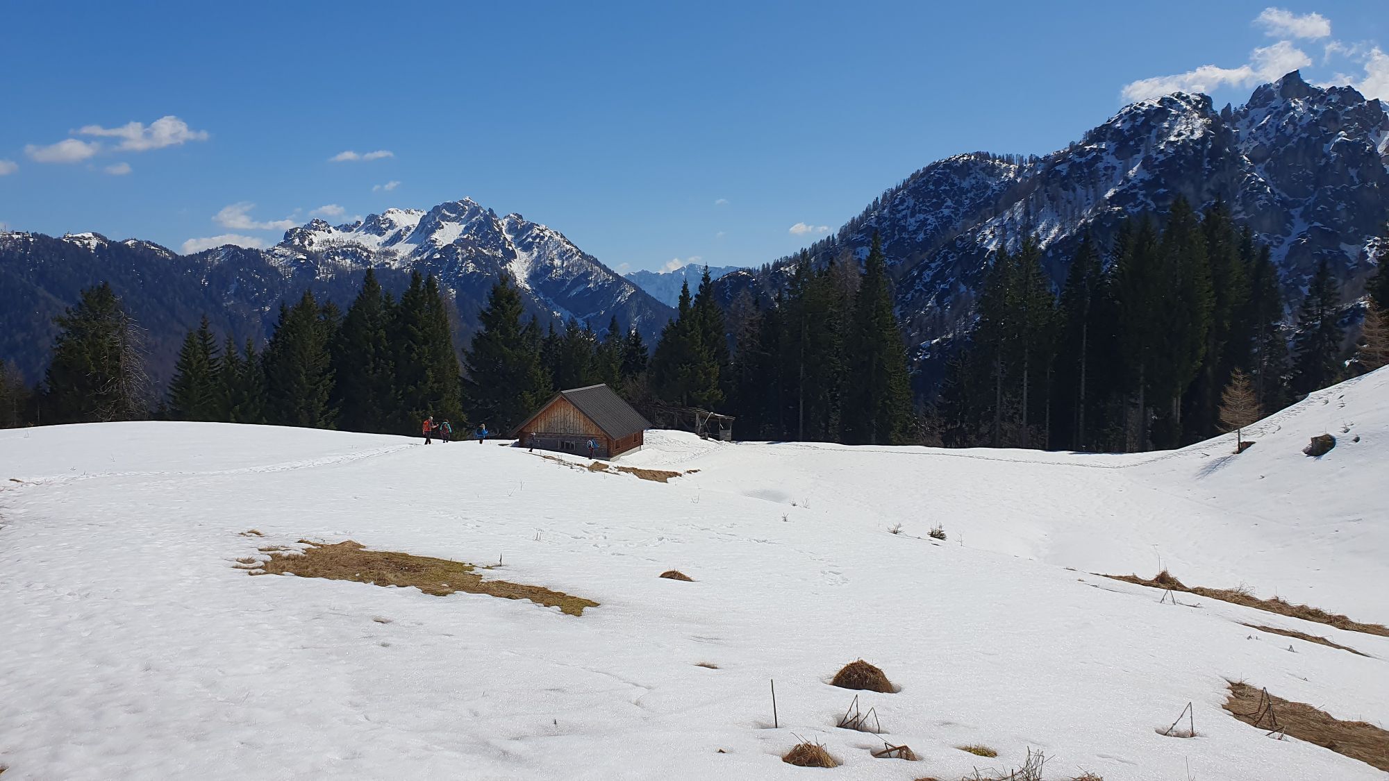
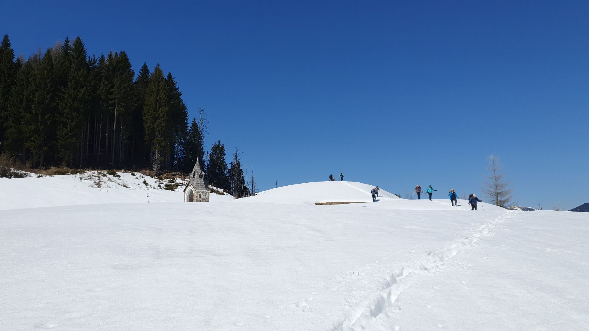
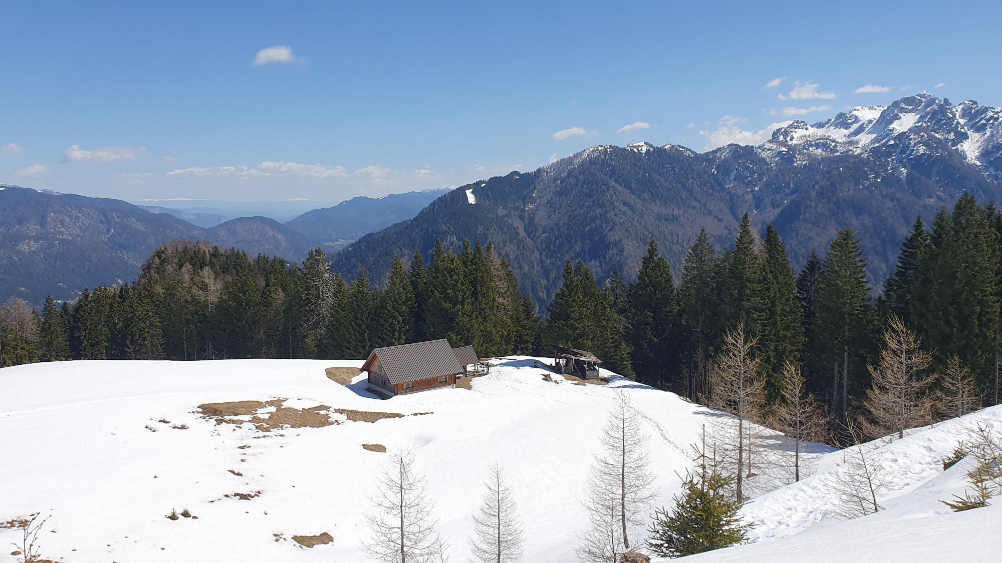
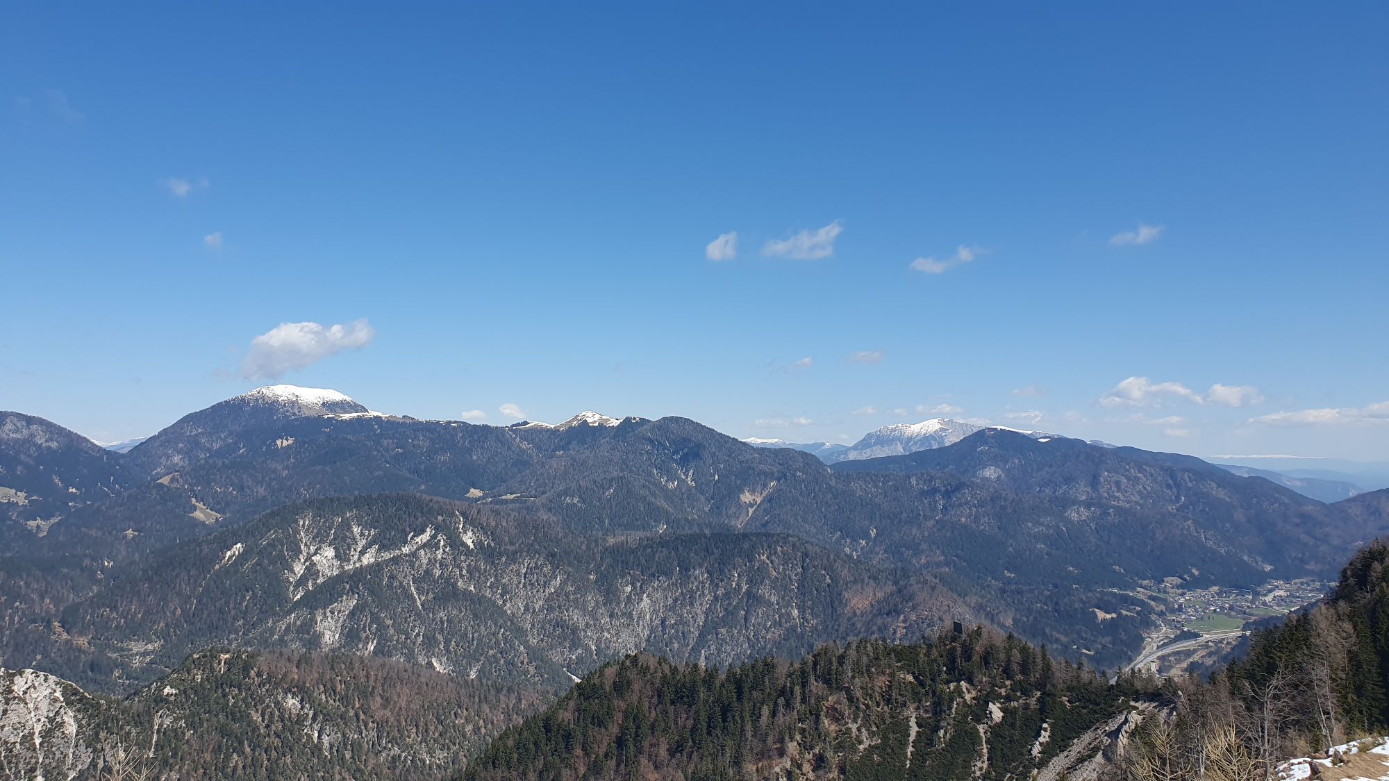
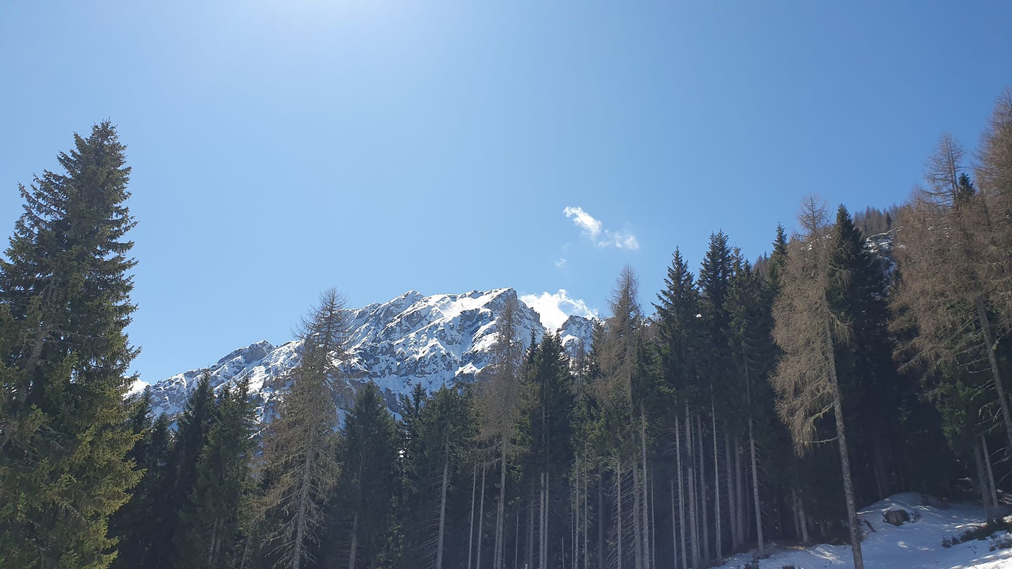
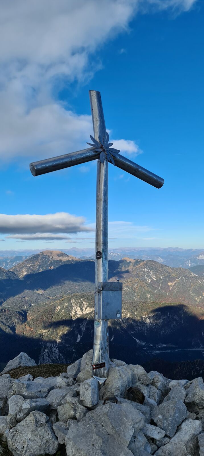
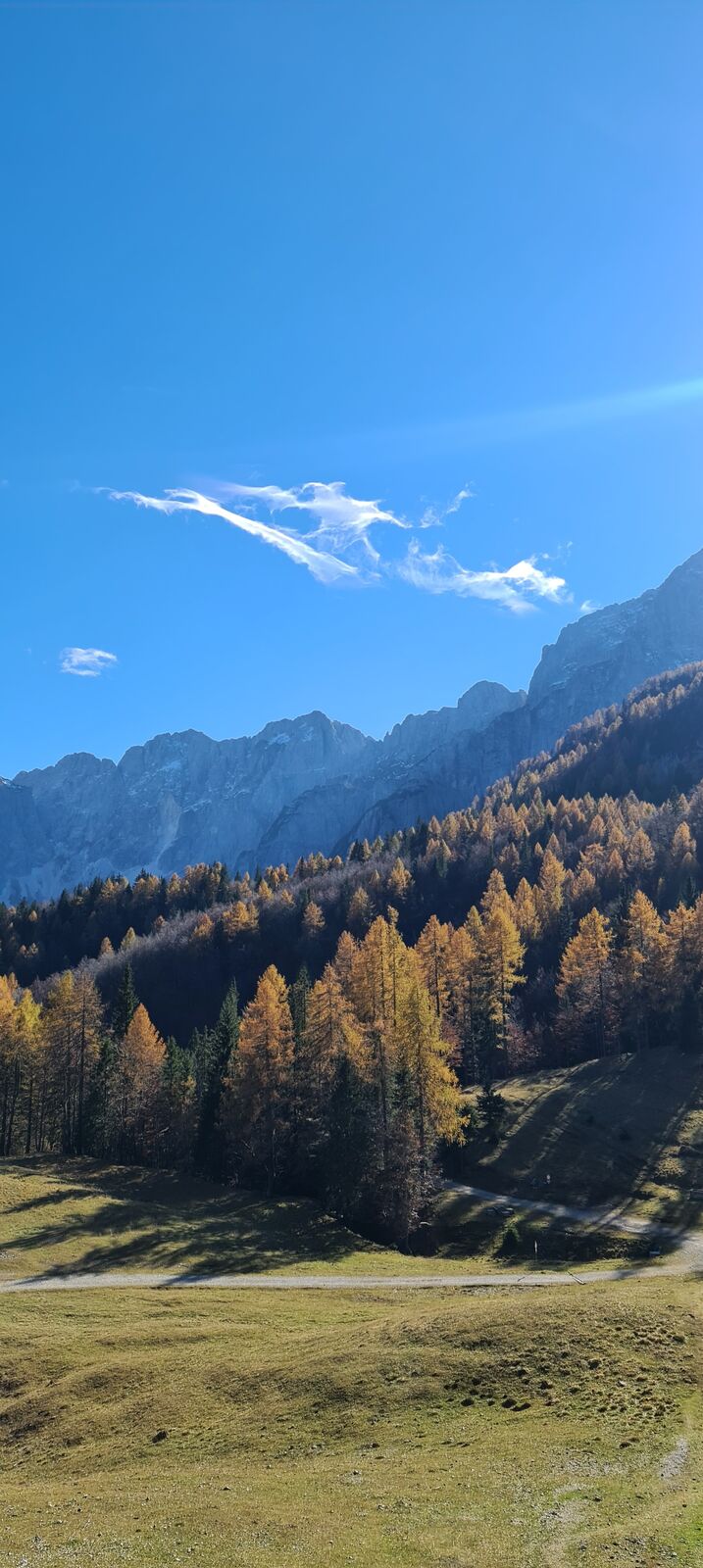
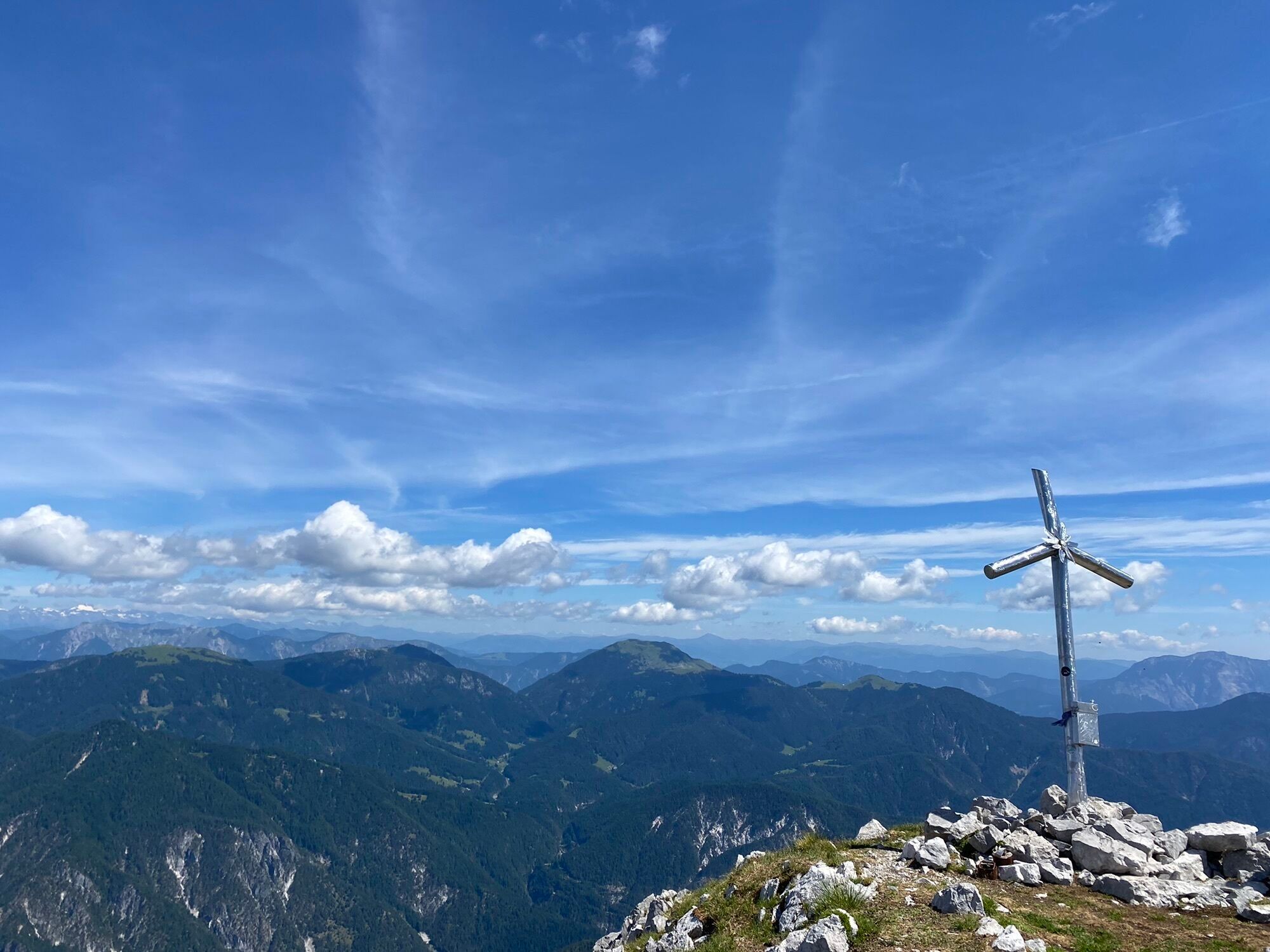
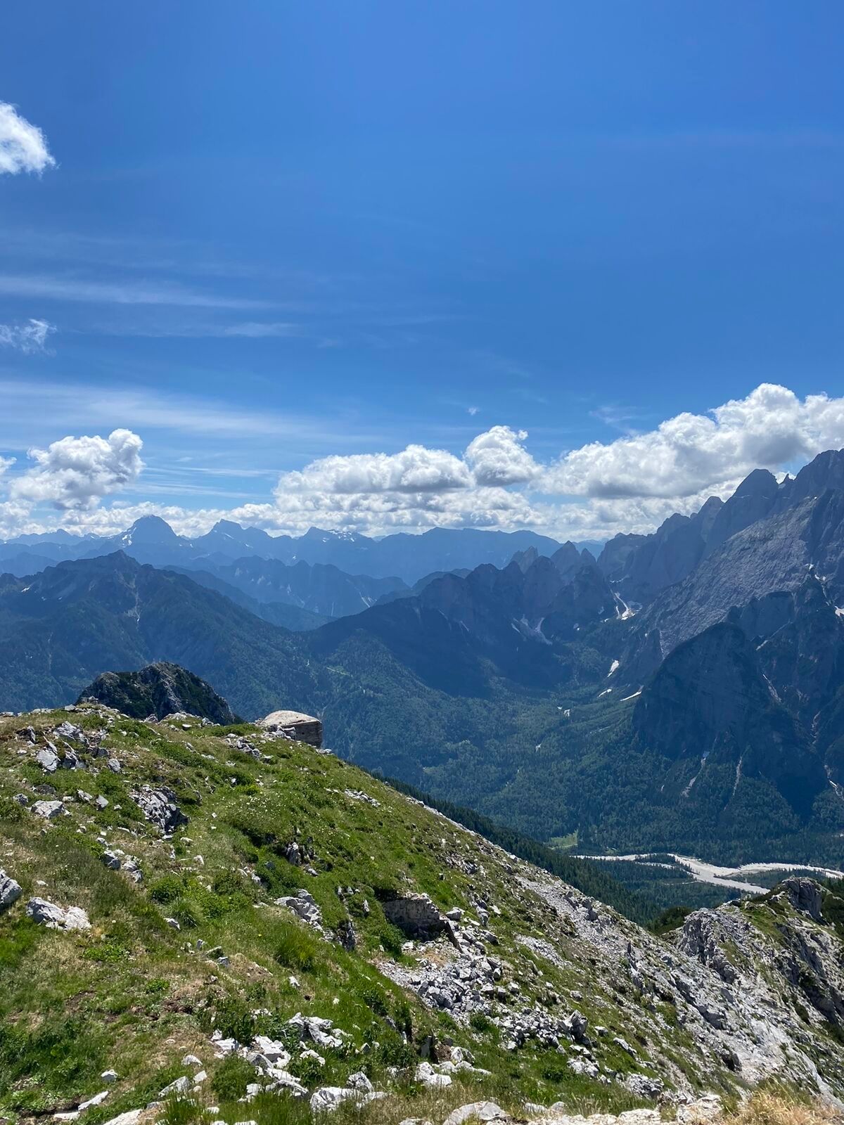
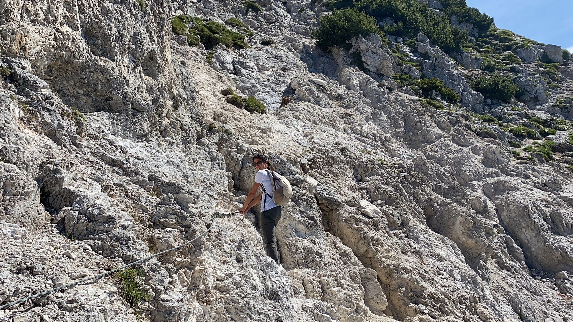
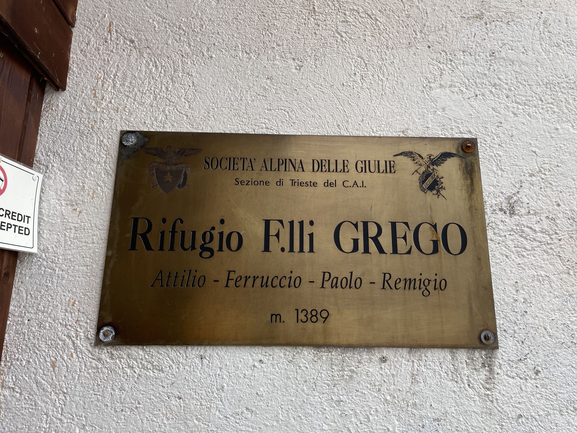
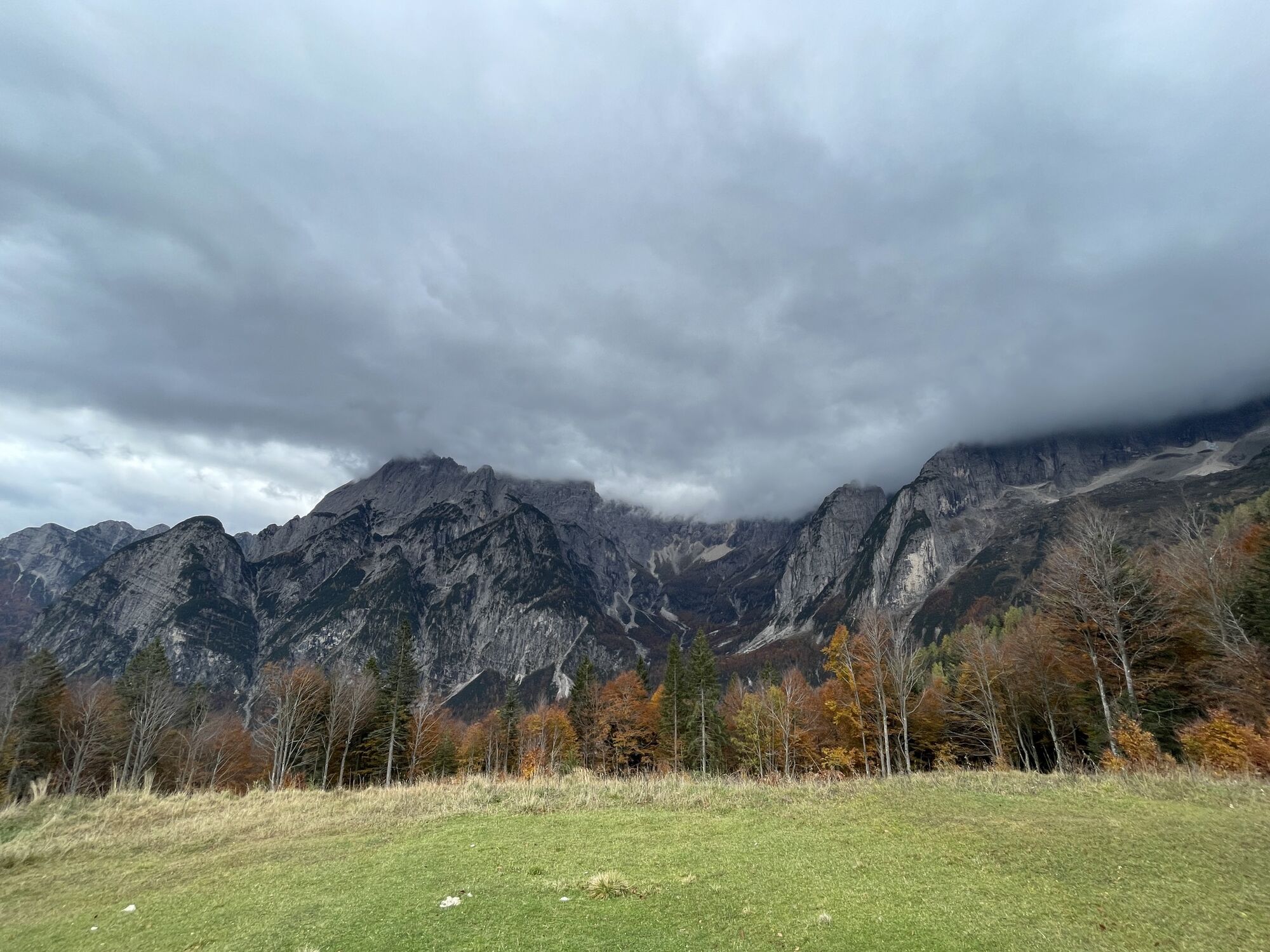
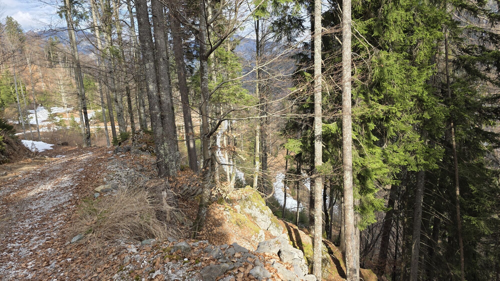
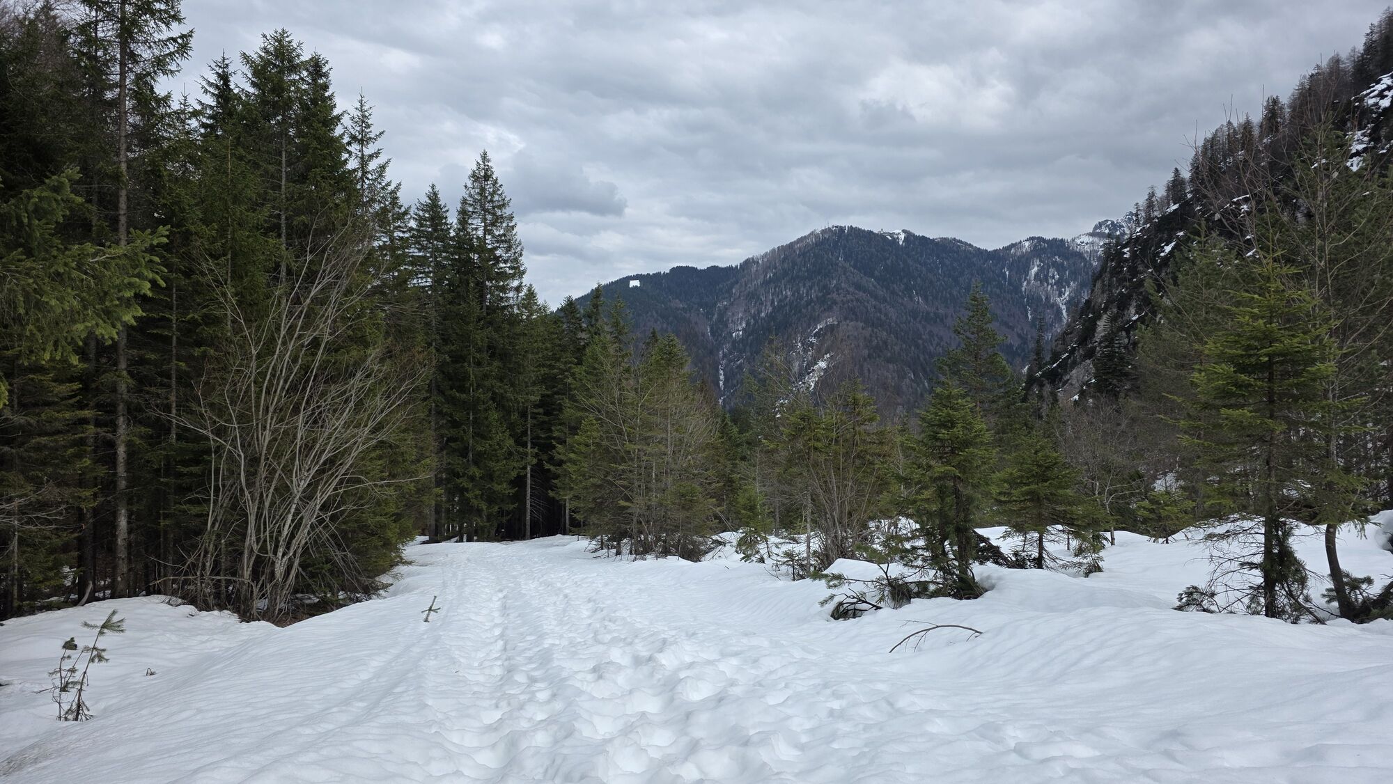
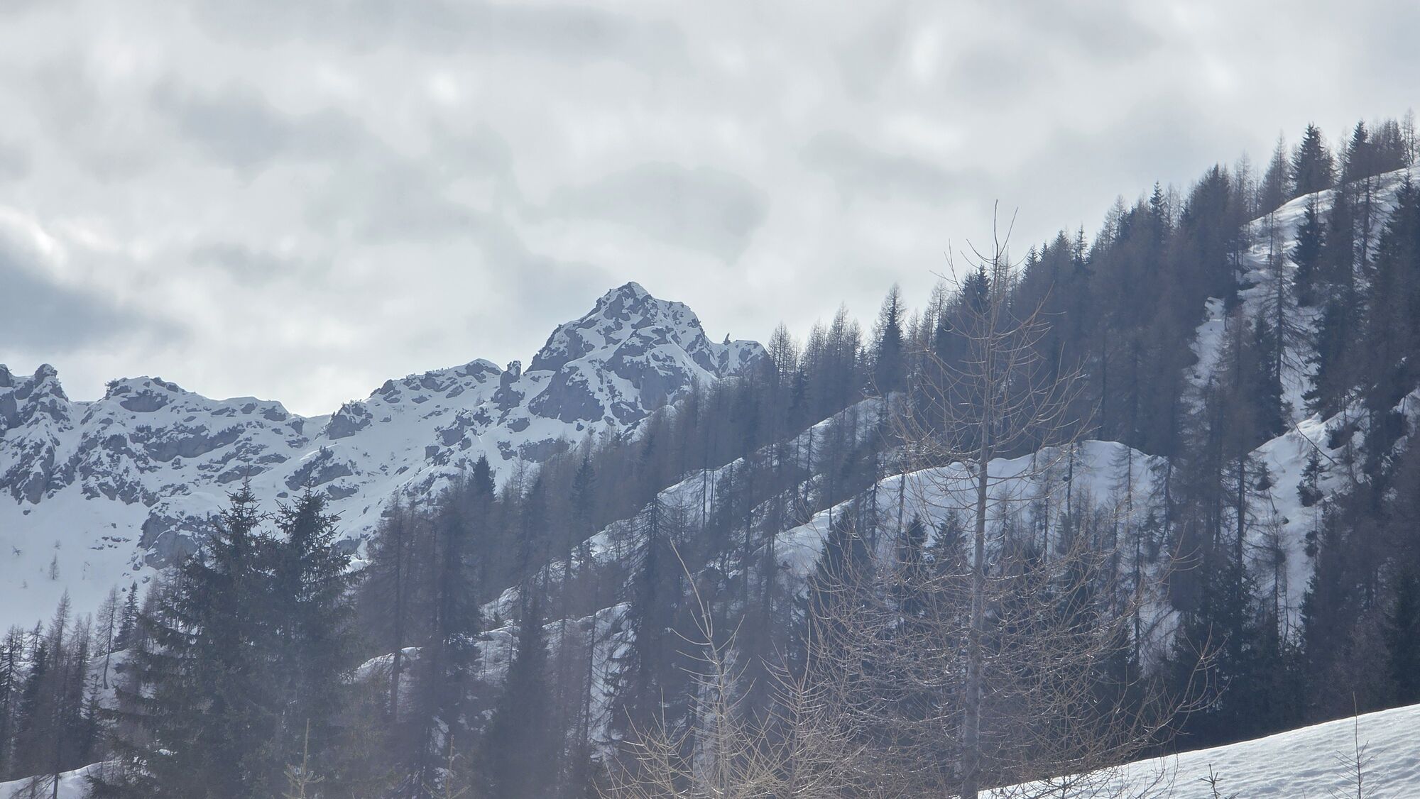
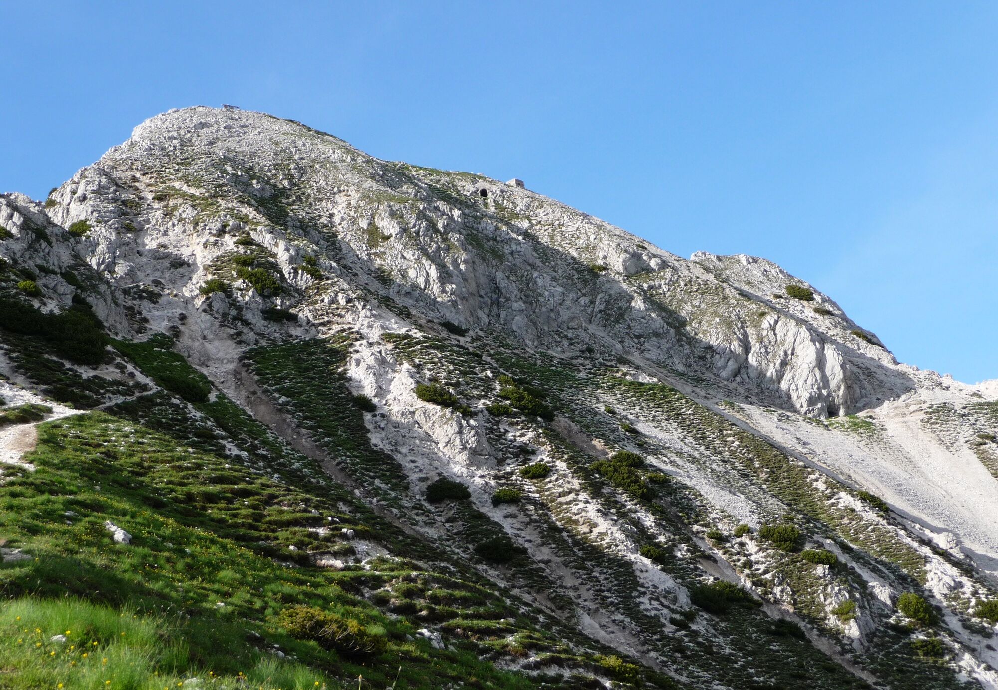
The Piccolo Miezegnot route (1,972 m a.s.l.) offers the chance to see the remains of Habsburg military structures. Starting from the Valbruna Heroes’ Cemetery (800 m a.s.l.), follow CAI trail 607 towards the Zita Chapel. Continue until you reach, on the left, CAI trail 606, which leads to the remains of shelters and caves. Once out of the forest, you will arrive on the northern slope of Piccolo Miezegnot and, across scree and rocks, reach the saddle, where there is a spectacular view over the Jôf Fuârt and Jôf di Montasio groups. Following a faint path to the right, you will come to a rock slab bearing a plaque commemorating the fighting of July 1916.To return to Valbruna, you will need to retrace the same route. More experienced hikers, however, can continue along CAI trail 606 and follow a protected path up to the summit of Jôf di Miezegnot. From here, it is possible to descend along the mountainside by following CAI trail 609 and then CAI trail 611 down to Malga Saisera. In this case, it is advisable to use two cars, leaving one at the starting point and one at the arrival point, or alternatively to make arrangements with the Grego mountain hut.

Oui
Mountain clothing and proper hiking boots, a change of clothes, and trekking poles are recommended. The use of a via ferrata kit is advised for the south-west ridge of Jôf di Miezegnot. Visitors are also advised to bring an adequate supply of water and food.
As with any alpine route, it is recommended not to undertake the hike alone. Particular care should be taken along the stretch of the south-west ridge of Jôf di Miezegnot. Always check the weather conditions before setting out.
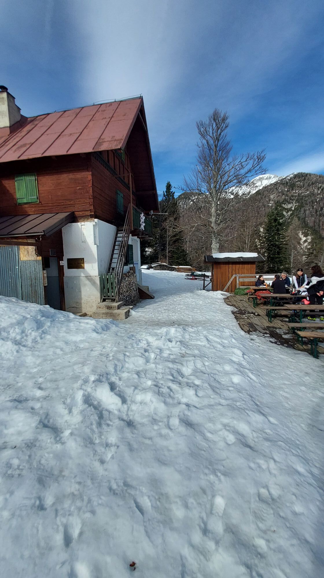
Take the A23 motorway and exit at Malborghetto Valbruna, then follow the signs for Valbruna. Continue along Via Saisera, leaving the village on your left, and carry on until you reach the signs for Cappella Zita, near an open area on your right.
Parking area near the Heroes’ Cemetery in Valbruna.
T3
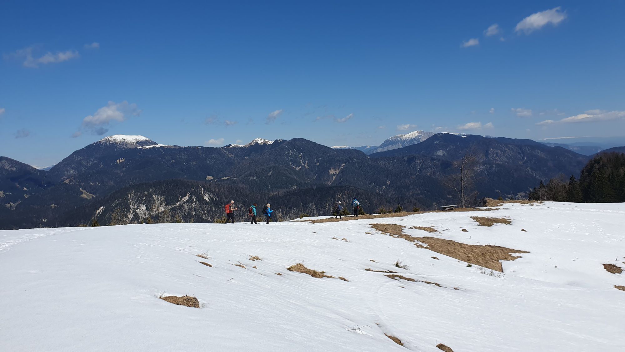
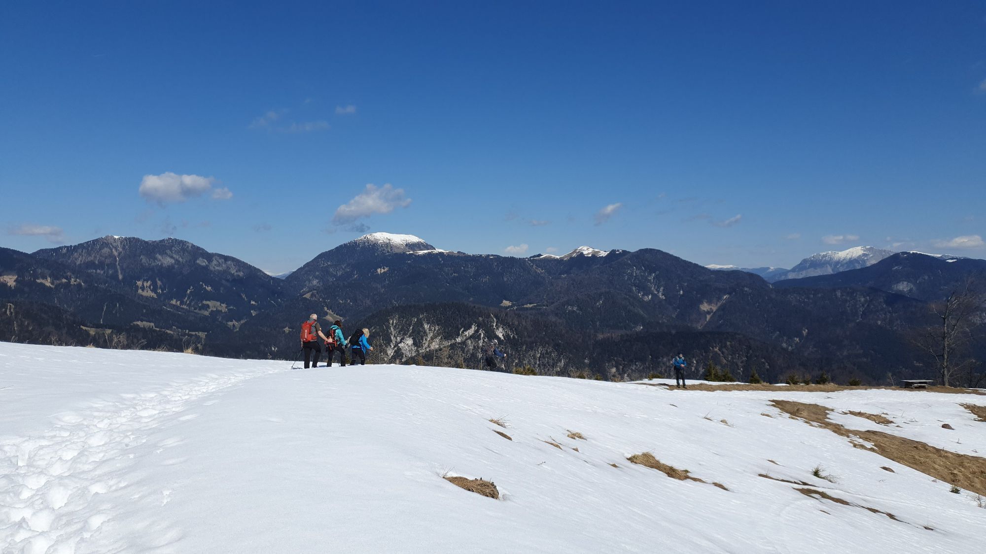
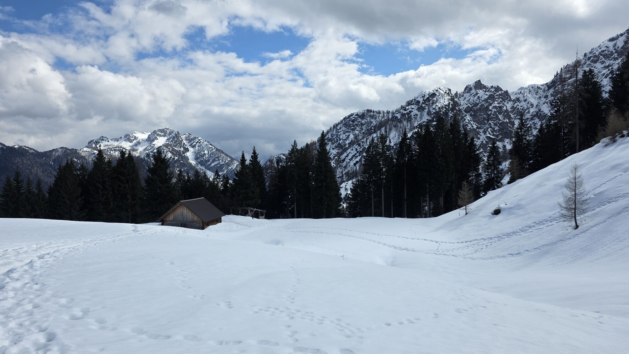
The summit of Jôf di Miezegnot can be reached from the south-east by following a section of protected trail. Those who choose this route can then descend along the face of Jôf di Miezegnot by following CAI trail 609 and then CAI trail 611. In this case, the route continues to Malga Saisera, at the end of the Val Saisera. It is therefore advisable to use two cars, leaving one at the starting point and the other at the arrival point.
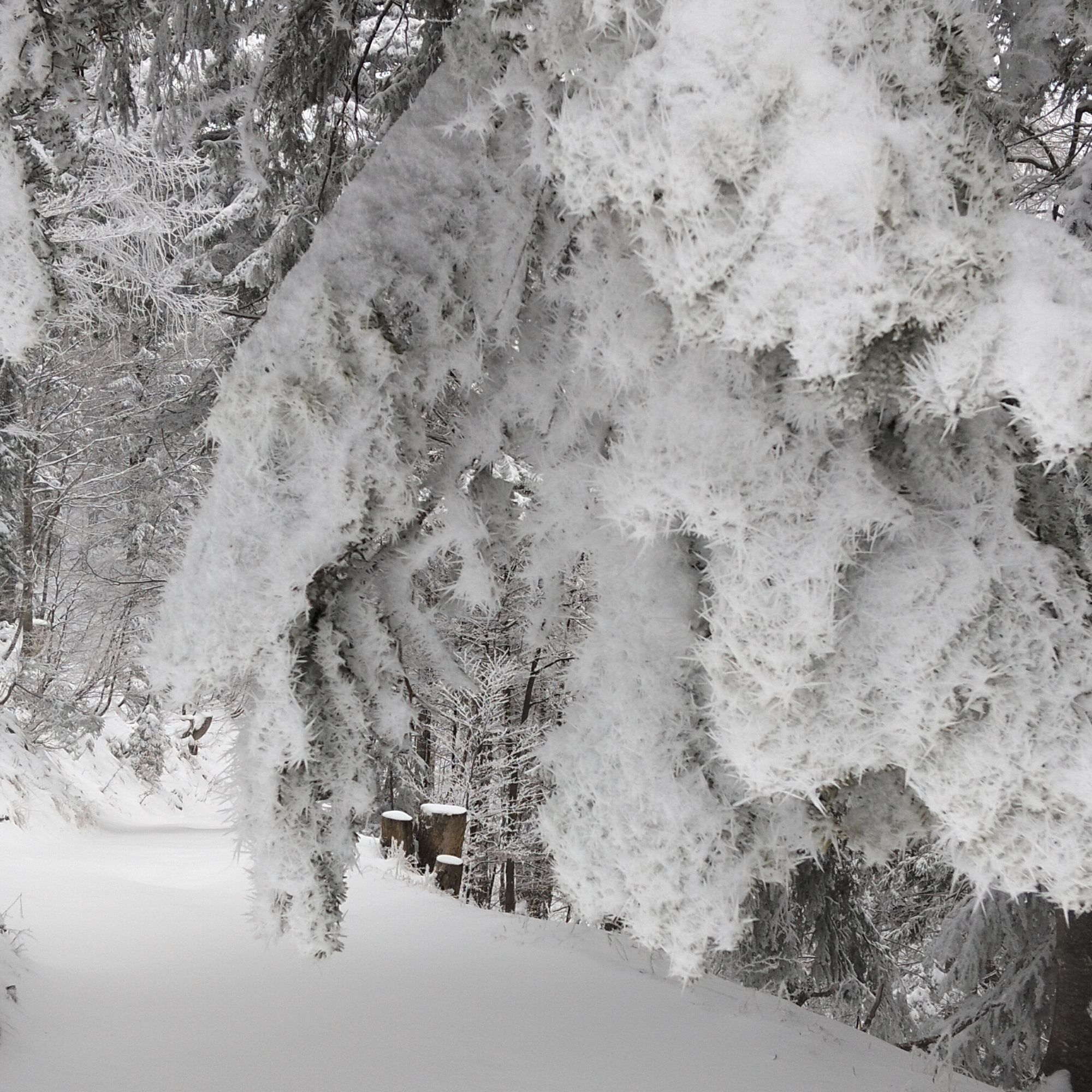
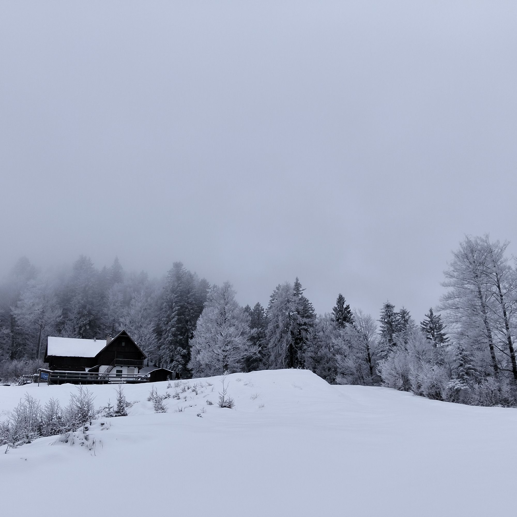
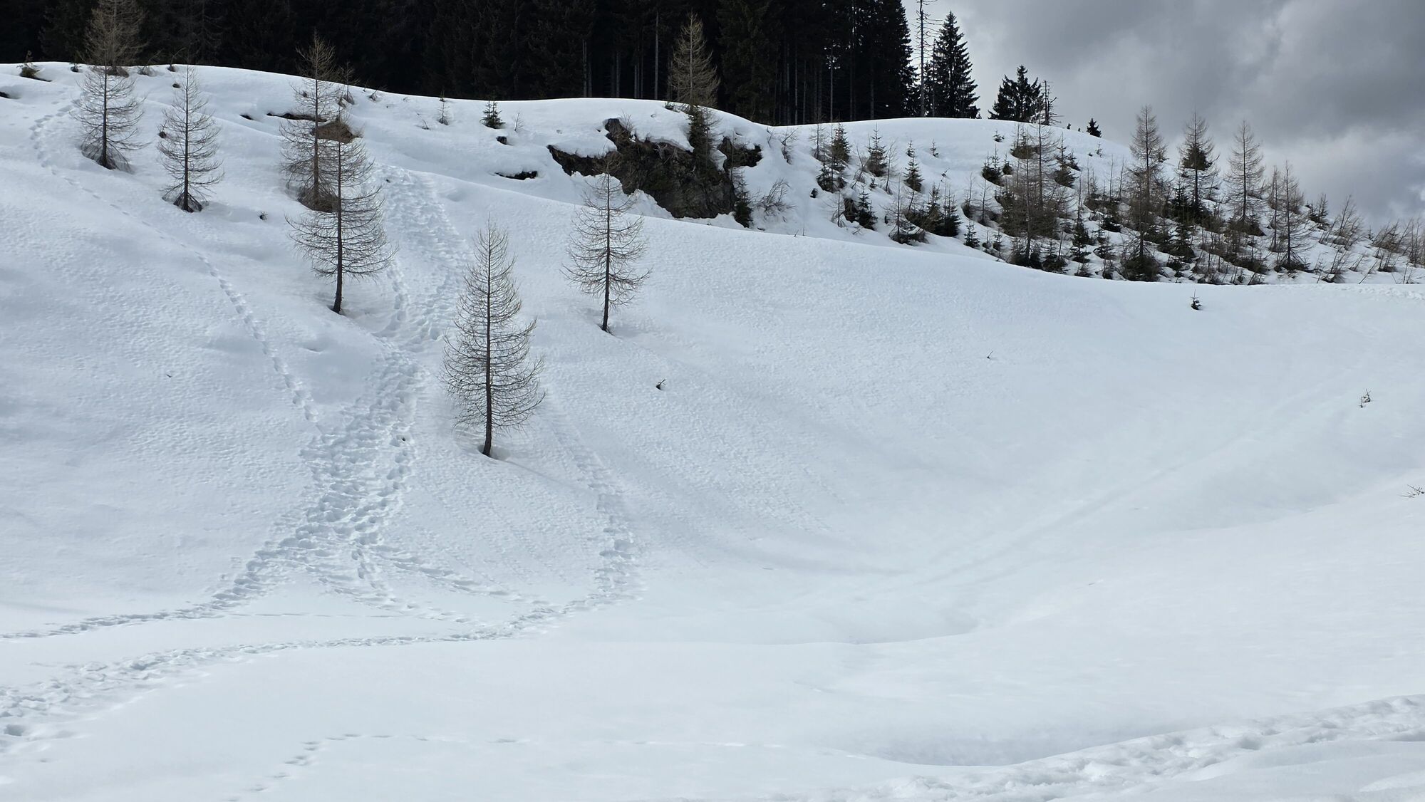
In winter, the Zita Chapel can be reached using snowshoes.
Parcours populaires à proximité
- 4,9
Orrido dello Slizza, Tarvisio, Italië
facileRandonnée 2,65 km - 4,9
Monte Lussari über den alten Pilgerweg
moyenRandonnée 6,43 km - 4,5
Monte Lussari
moyenSki de randonnée 10,7 km - 4,2
Monte Santo di Lussari, Skitour, Pilgerweg
moyenSki de randonnée 9,35 km - 4,7
Tarvisio - Venzone (C101)
moyenPiste cyclable longue distance 64,7 km - 5,0
Fenêtre de Prestreljenik (2390 m) – vue dramatique sur les Alpes juliennes occidentales
moyenSki de randonnée 14,5 km - 4,0
Jof di Miezegnot 2087m (Malborgether Mittagskofel)
Randonnée 9,90 km - 5,0
Drei Gipfel des Monte Nebria
moyenRandonnée 7,72 km - 4,8
Détour sur la voie cyclable de la Drau : balade Dolce Vita
difficileFaire du vélo 97,2 km - 5,0
Cima Bella et Monte Cocco
facileRandonnée 11,0 km

Randonnée et suivi


Ne manquez pas les offres et l'inspiration pour vos prochaines vacances
Votre adresse électronique a été ajouté à la liste de diffusion.