


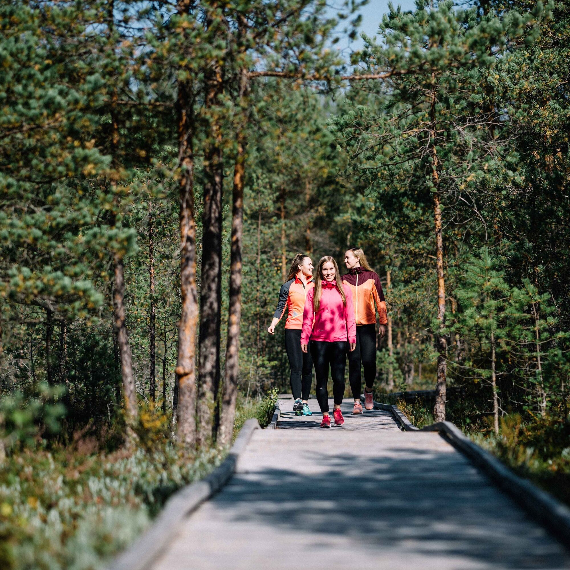
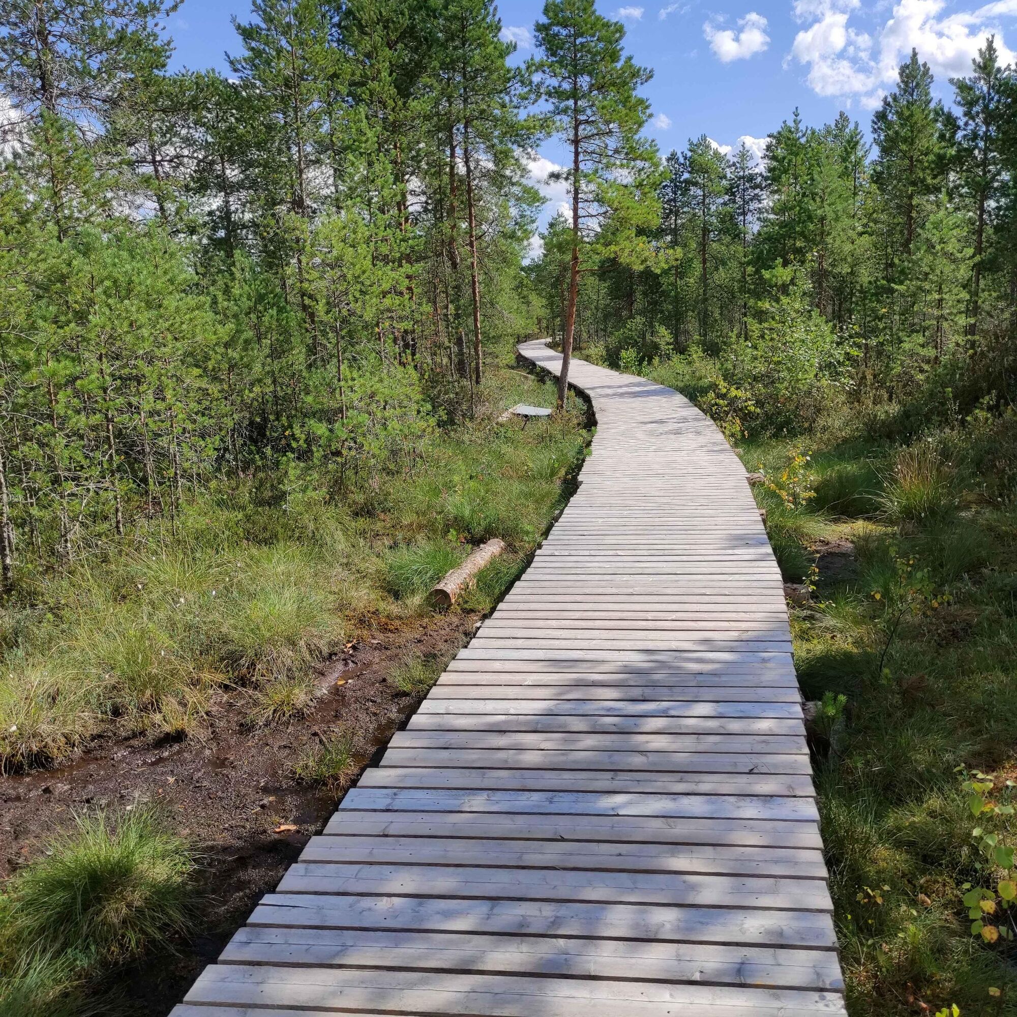
Paukaneva Trail
Paukaneva is a bog in Seinäjoki, west of the centre of Nurmo. The area has a viewing tower and a duckboard nature trail. Starting from the direction of Vaasantie, the first 700 metres of trail are wheelchair...
Paukaneva is a bog in Seinäjoki, west of the centre of Nurmo. The area has a viewing tower and a duckboard nature trail. Starting from the direction of Vaasantie, the first 700 metres of trail are wheelchair accessible. The flora of Paukaneva is rugged, as is typical of boglands: shrubs of various sizes and peat moss. It is home to a variety of birds. The species nesting in Paukaneva include Eurasian curlews, Eurasian whimbrel, and several seagull species. During migration, swans and geese stop in the area to rest.
The flora of Paukaneva is rugged, as is typical of boglands: shrubs of various sizes and peat moss. It is home to a variety of birds. The species nesting in Paukaneva include Eurasian curlews, Eurasian whimbrel and several seagull species. During migration, swans and geese stop in the area to rest.

Oui
Seinäjoelta Ylistaroon menee useita vuoroja arkipäivisin, joten keskustasta pääsee hyvin lähelle Vaasantien lähtöpistettä.
Parking areas are available in three locations: Along Vaasantie and Kiikuntie and at the end of Karhinkatu, close to the centre of Nurmo.
Parcours populaires à proximité
-
Kyrkösjärvi Nature Trail
moyenRandonnée 5,78 km -
Tohnin kirkkotie
moyenPiste cyclable longue distance 116,8 km -
Balade à vélo dans les parcs de Seinäjoki
Faire du vélo 21,7 km -
Keski-Nurmo’s Bridges
facileFaire du vélo 33,0 km -
Parcours autour du Kyrkösjärvi
facileFaire du vélo 18,3 km -
Both sides of the Nurmonjoki
facileFaire du vélo 37,2 km -
Alajoki cultural landscape route
moyenFaire du vélo 45,4 km -
Oravapolku Trail
facileRandonnée 0,76 km -
Accessible Jouppilanvuori Adventure Trail
Randonnée 6,75 km -
Jouppilanvuori Trail running route
Randonnée 6,60 km
Randonnée et suivi


Ne manquez pas les offres et l'inspiration pour vos prochaines vacances
Votre adresse électronique a été ajouté à la liste de diffusion.