




Kyynärpääjoki -river Hiking Trail, Parikkala
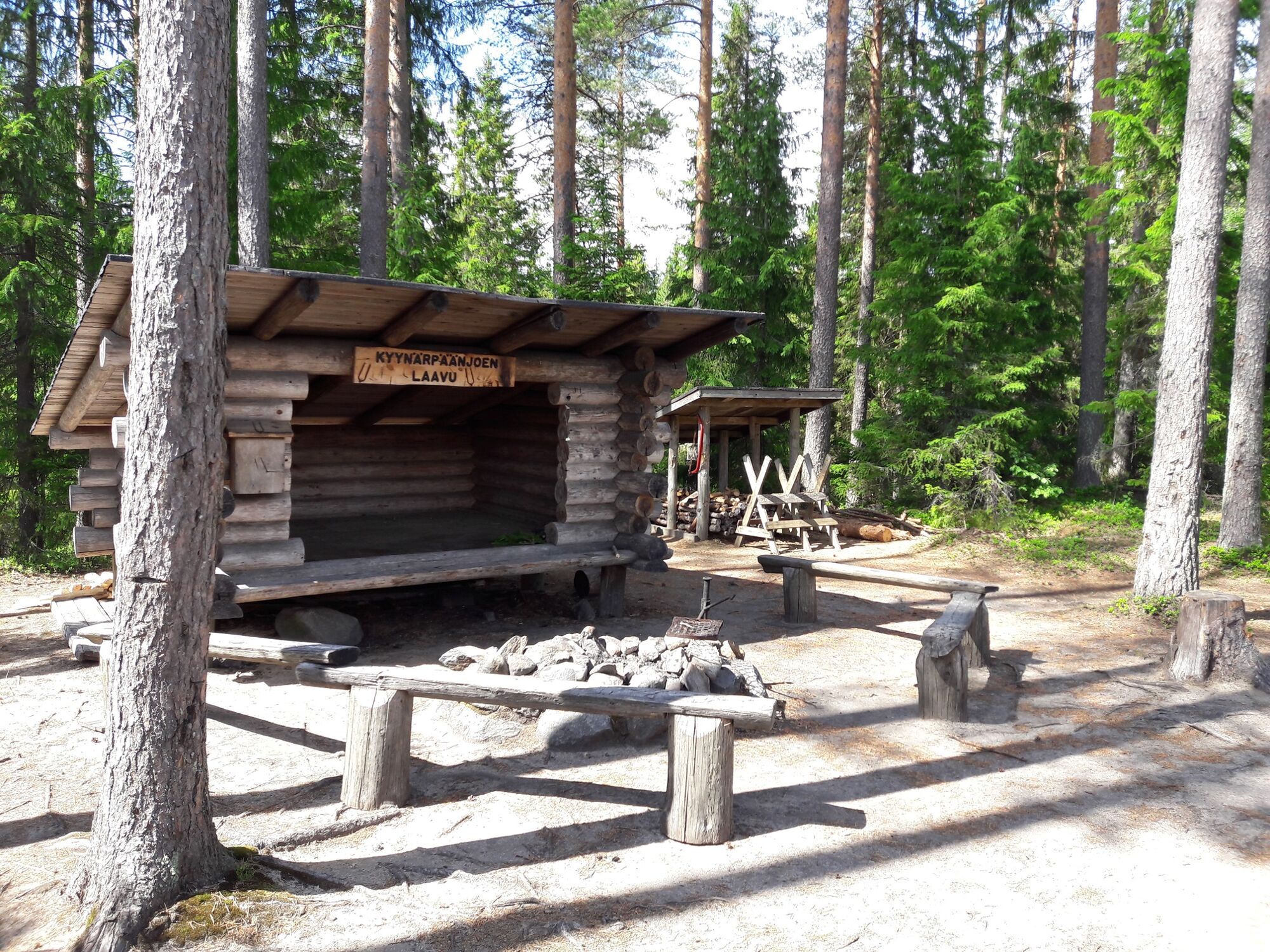
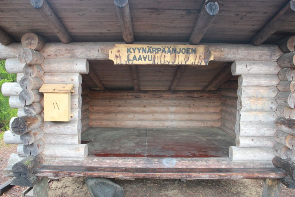
The route is mainly upland landscape. The Kyynärpääjoki river is crossed twice. Along the route, there are two stops: Kyynärpäänjoki lean-to shelter and Mälkänlampi lean-to shelter, near which there are...
The route is mainly upland landscape. The Kyynärpääjoki river is crossed twice. Along the route, there are two stops: Kyynärpäänjoki lean-to shelter and Mälkänlampi lean-to shelter, near which there are potholes. The Kyynärpäänjoki river spins into a crowned serpentine-like stream. During the spring, the river widenes by several meters.
The river, which is located on the water divider, was probably part of the old route connecting Lake Simpelejärvi to Pihlajavesi. There are 4 km of easy access on the route, the trail is more varied in the terrain and there are also some more demanding ascents. Waterproof footwear is needed in the flood season in spring and otherwise in damp weather.

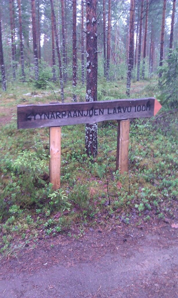
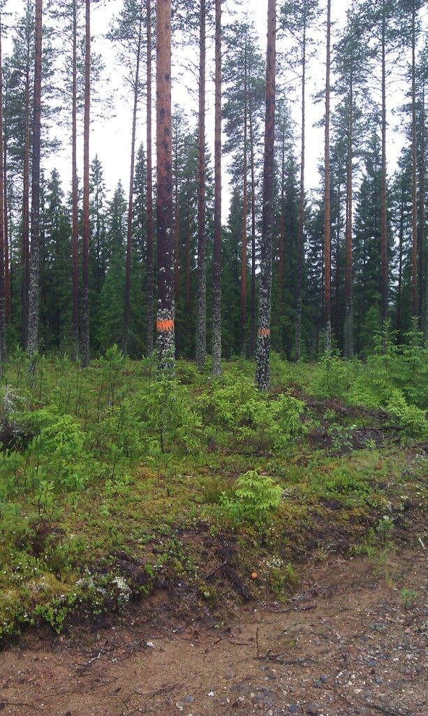
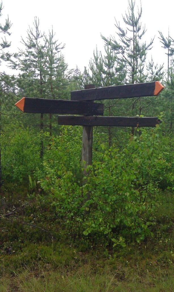

Kyynärpäänjoen polku on merkitty oranssein maalimerkein ja se erottuu näin Aate-Pekan polusta, joka lähtee samasta pihapiiristä, mutta on merkitty vaaleansinisin maalimerkein.
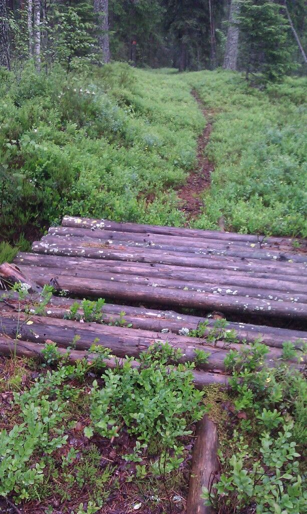
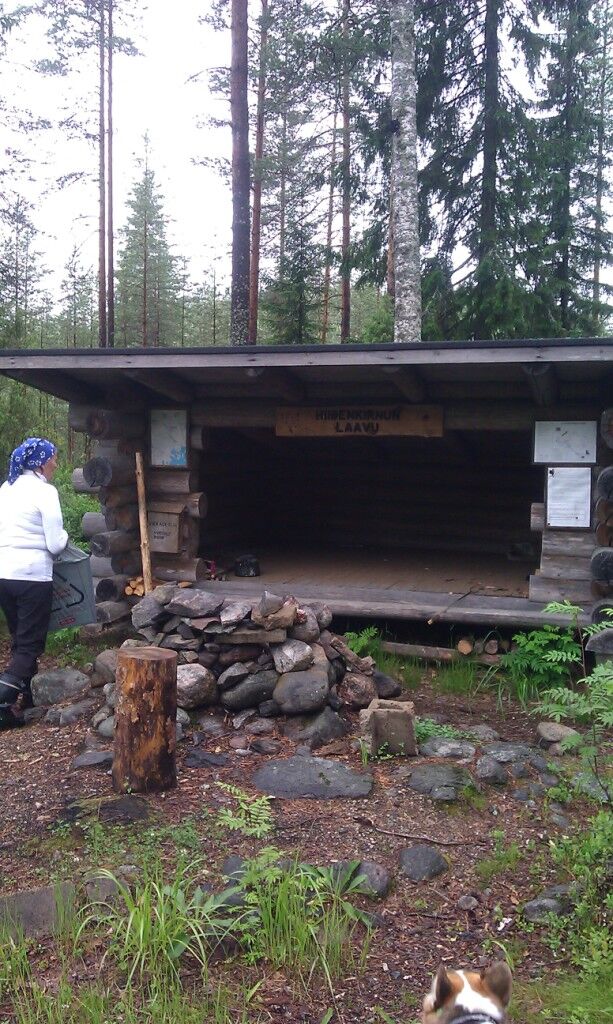
Kyynärpäänjoen polkua kuljetaan ensin jonkin matkaa Oronmyllyntietä pitkin, kunnes reitti kääntyy sivutielle ja poikkeaa tältä tieltä metsään. Polku kiertelee metsässä, ylittää Kyynärpäänjoen ja saapuu pian sen jälkeen Kyynärpäänjoen laavulle. Laavun jälkeen polku kulkee metsäautoteiden pohjia ja metsäpolkuja pitkin ylittäen kohta uudelleen Kyynärpäänjoen. Tämän ylityksen jälkeen reitillä on melko reheviä ja märkiäkin maasto-osuuksia, hyvät jalkineet ovat tarpeen. Mälkiänalussuon jälkeen polku tuo Mälkiänmäelle, jossa laavu. Tämän laavun ympäristössä on hiidenkirnuja. Laavun jälkeen seuraa taas vehreä ja kostea osuus, jonka jälkeen kulkija saapuu hiekkatielle. Tätä tietä pitkin palataan Oronmyllylle ja lähtöpaikalle.
Maastoon on hyvä ottaa kartta mukaan, sillä metsässä on myös vanhojen latureittien haalistuneita maalimerkkejä, jotka myös ovat oransseja.
Oui
Oui
It is safest to move in a group if you do not know the terrain or the water area. Before the excursion, it is advisable to acquire the necessary maps and guides and check the weather forecast, particularly when going boating. Wear sturdy footwear and clothes that suit the weather. It is recommended that you take first aid equipment, rainwear, a spare set of clothes, as well as enough drinks with you, particularly in the summer. Remember to wear a floating vest when boating.
In wet weather and in winter, duckboards, rocks and piers can be slippery.
During the snowy season, the trails and routes are not maintained.
In an emergency, dial the number 112. Report your location, what has happened and listen to the instructions.
Polun lähtöpaikka on Oronmyllyn toimintakeskuksella. Osoite: Oronmyllyntie 250, 59310 Särkisalmi.
Kohteeseen ei ole julkista liikennettä.
Oronmyllyn pihapiirissa on paikoitustilaa.
Hiidenkirnut Mälkiänmäenlaavulla olivat hauska näky.
Parcours populaires à proximité
-
Sentier naturaliste de Siikalahti, Parikkala
facileChemin thématique 1,03 km -
Rajojen reitti Hiking Trail, Parikkala (E10)
difficileChemin de Grande Randonnée 16,5 km -
Parcours cyclable Lintuinmaa à Parikkala
difficileFaire du vélo 86,8 km -
Network of Esker Trails, Parikkala
moyenChemin de Grande Randonnée 9,02 km -
Pöröpeikon polku trail, Parikkala
difficileChemin de Grande Randonnée 3,26 km -
Aate-Pekan polku Trail, Parikkala
moyenChemin thématique 3,17 km -
Savonlinna
facileRaquettes 2,51 km -
Parikkala
facileRandonnée 1,80 km
Randonnée et suivi


Ne manquez pas les offres et l'inspiration pour vos prochaines vacances
Votre adresse électronique a été ajouté à la liste de diffusion.





