Pag saltworks round
moyen
Télécharge cette visite sur ton portable
Pag saltworks round
moyen
Vélo gravel
19,87
km
Scanner le code QR et commencer la navigation dans l'application bergfex

Randonnée & tracking


Pag saltworks round
moyen
Distance
19,87
km
Durée
01:26
h
Ascension
323
m
Altitude
-
m
Téléchargement de la piste
Pag saltworks round
moyen
Vélo gravel
19,87
km
Parcours
Crkva Sv. Frane
(8 m)
Lieu de culte
0,0 km
Pag
(10 m)
Ville
0,1 km
Crkva Sv. Jurja
(14 m)
Lieu de culte
0,1 km
Veli Brig
(263 m)
Sommet
3,1 km
Ražaško
(208 m)
Sommet
5,7 km
Gorica
(27 m)
Village
10,6 km
Crkva Sv. Frane
(8 m)
Lieu de culte
19,9 km
Parcours
Pag saltworks round
moyen
Vélo gravel
19,87
km
Crkva Sv. Frane
(8 m)
Lieu de culte
0,0 km
Pag
(10 m)
Ville
0,1 km
Crkva Sv. Jurja
(14 m)
Lieu de culte
0,1 km
Veli Brig
(263 m)
Sommet
3,1 km
Ražaško
(208 m)
Sommet
5,7 km
Gorica
(27 m)
Village
10,6 km
Pag
(10 m)
Ville
19,9 km
Crkva Sv. Frane
(8 m)
Lieu de culte
19,9 km

Informations sur l'itinéraire
Itinéraire
By car
Parking
The car can be left in one of the public parking lots near the centre of town. In low season no problem to find a parking.
Infos complémentaires & conseils
Conseils
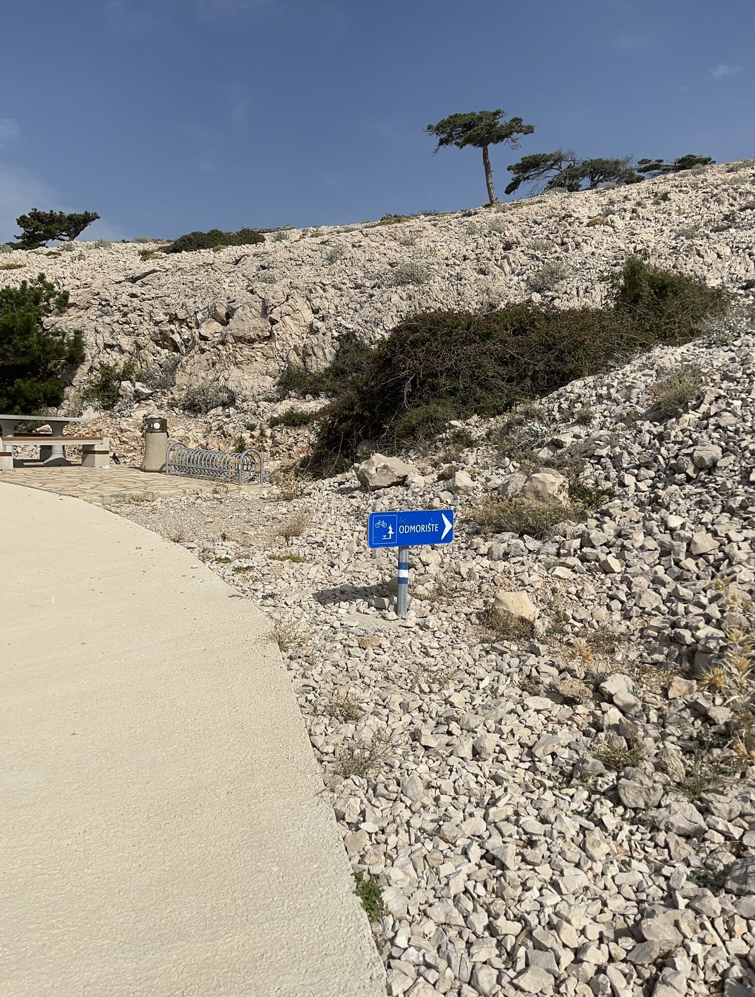
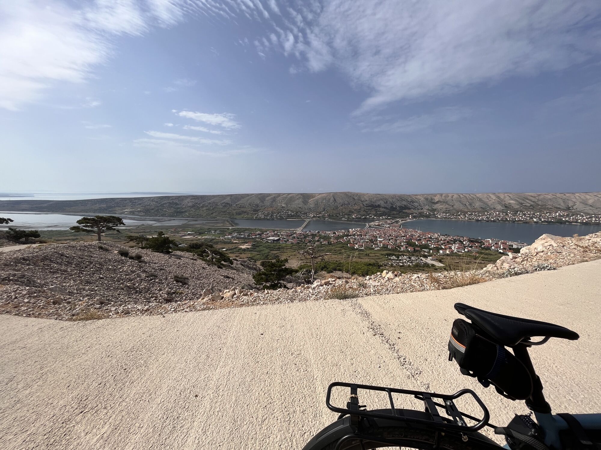
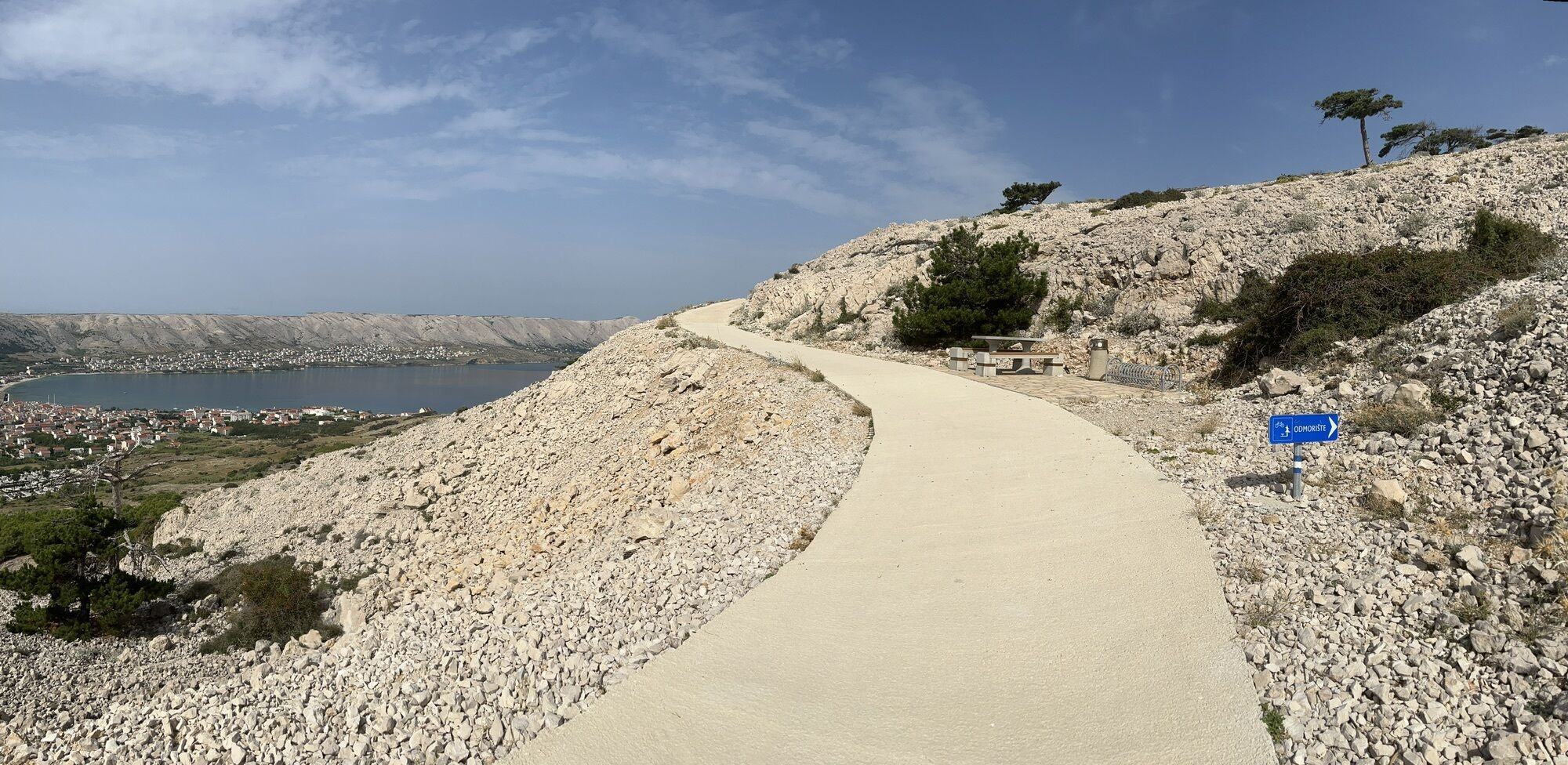
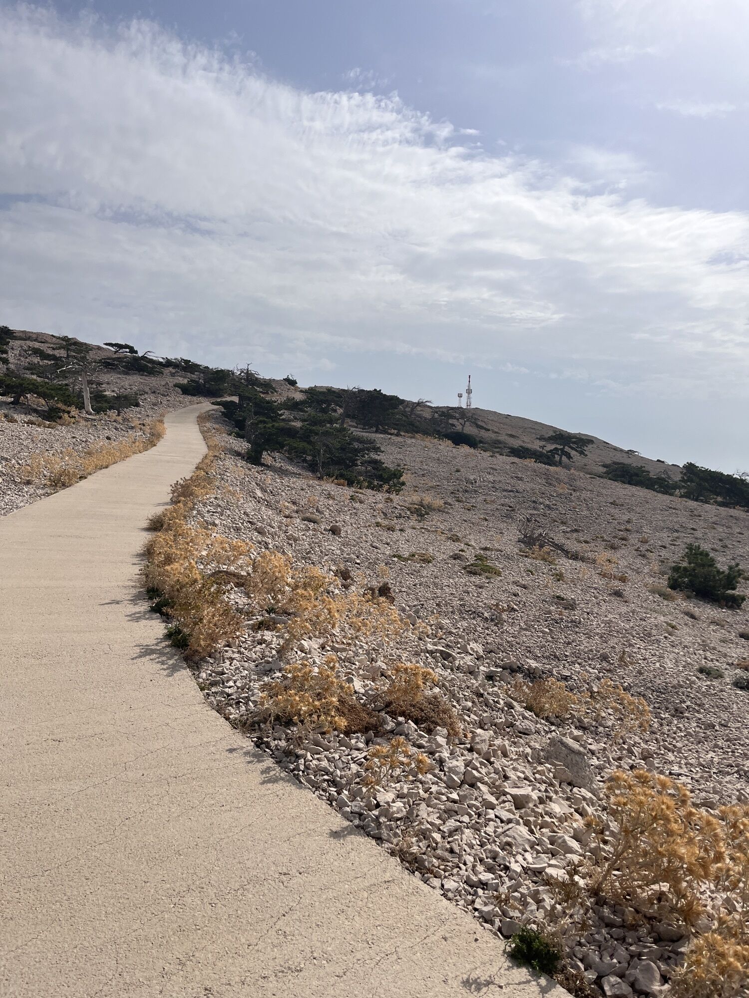
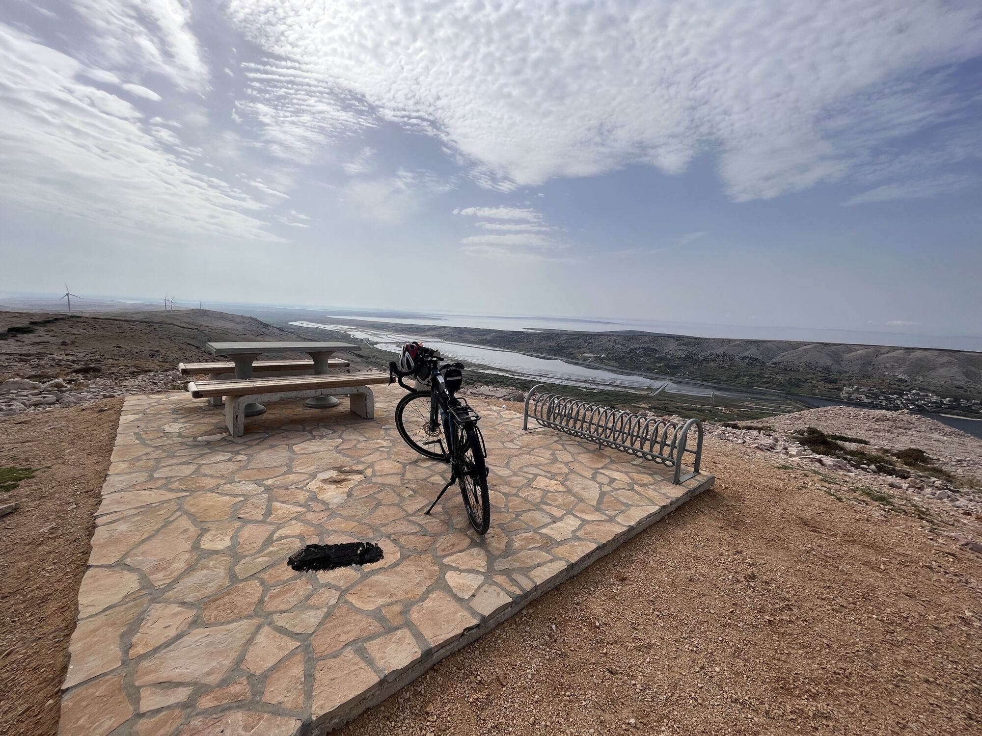
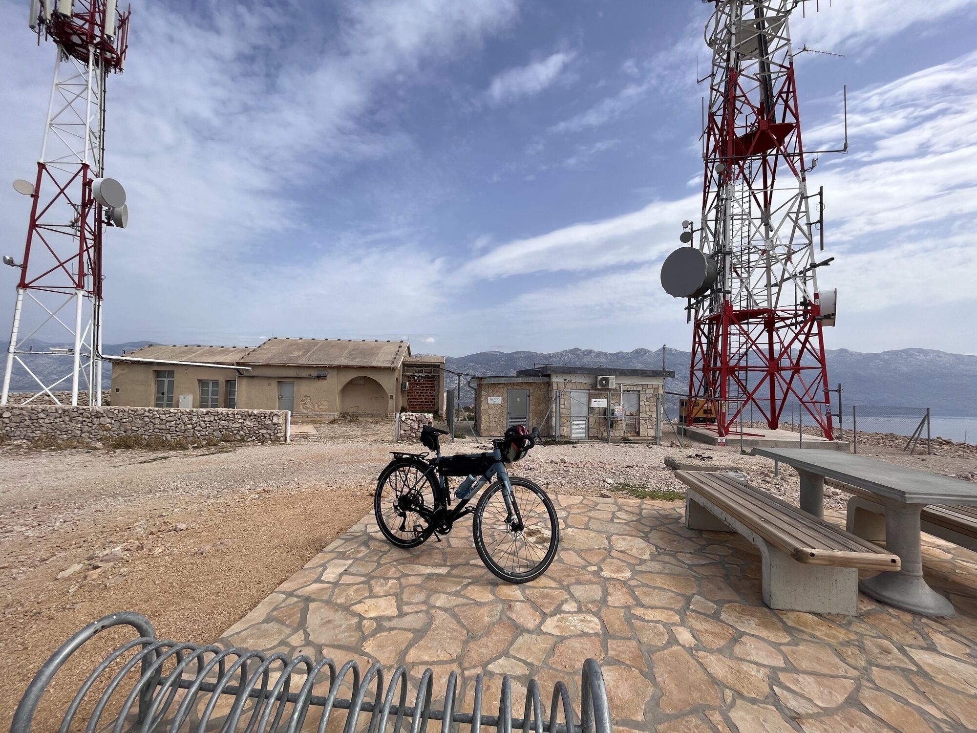
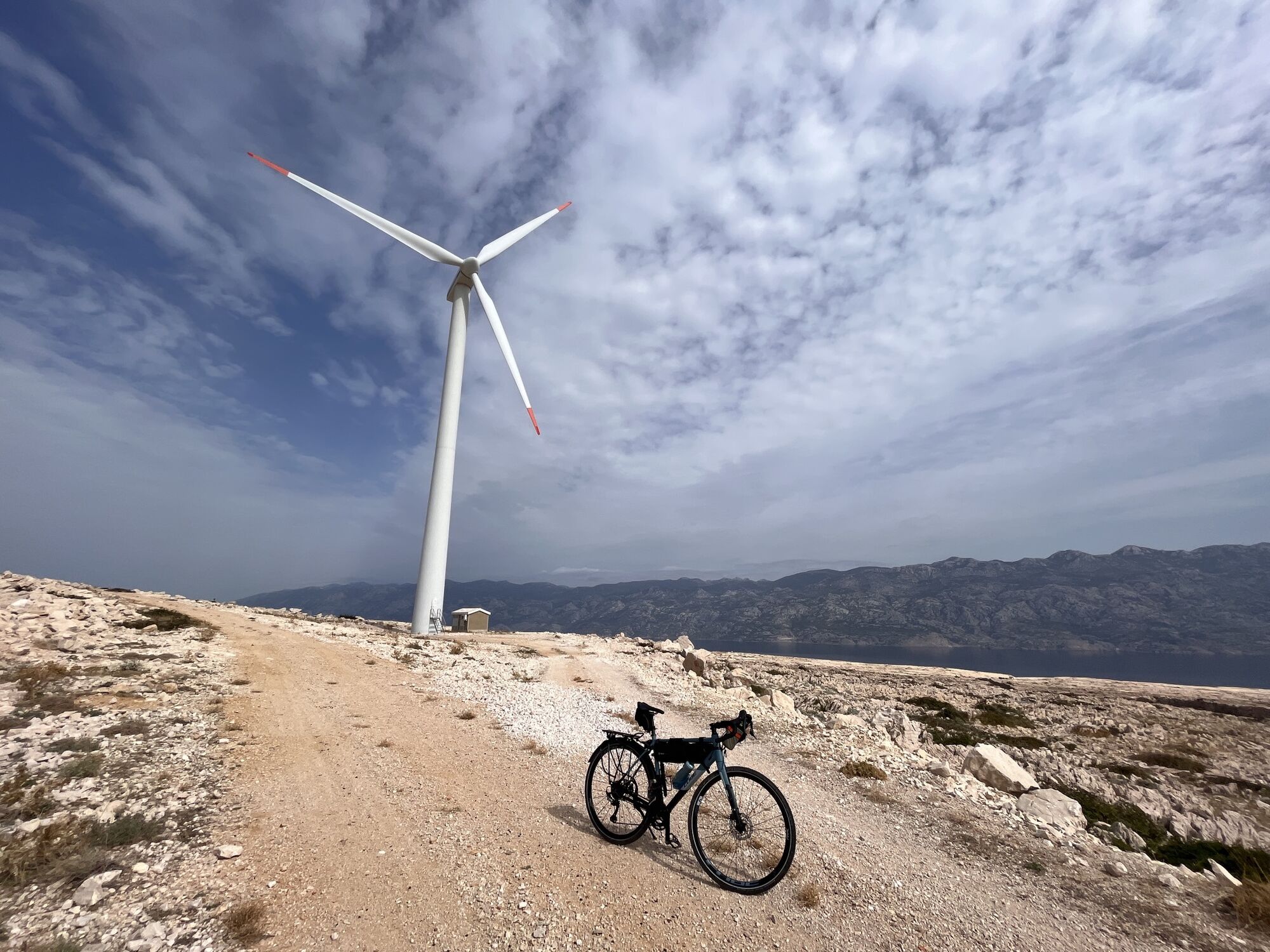
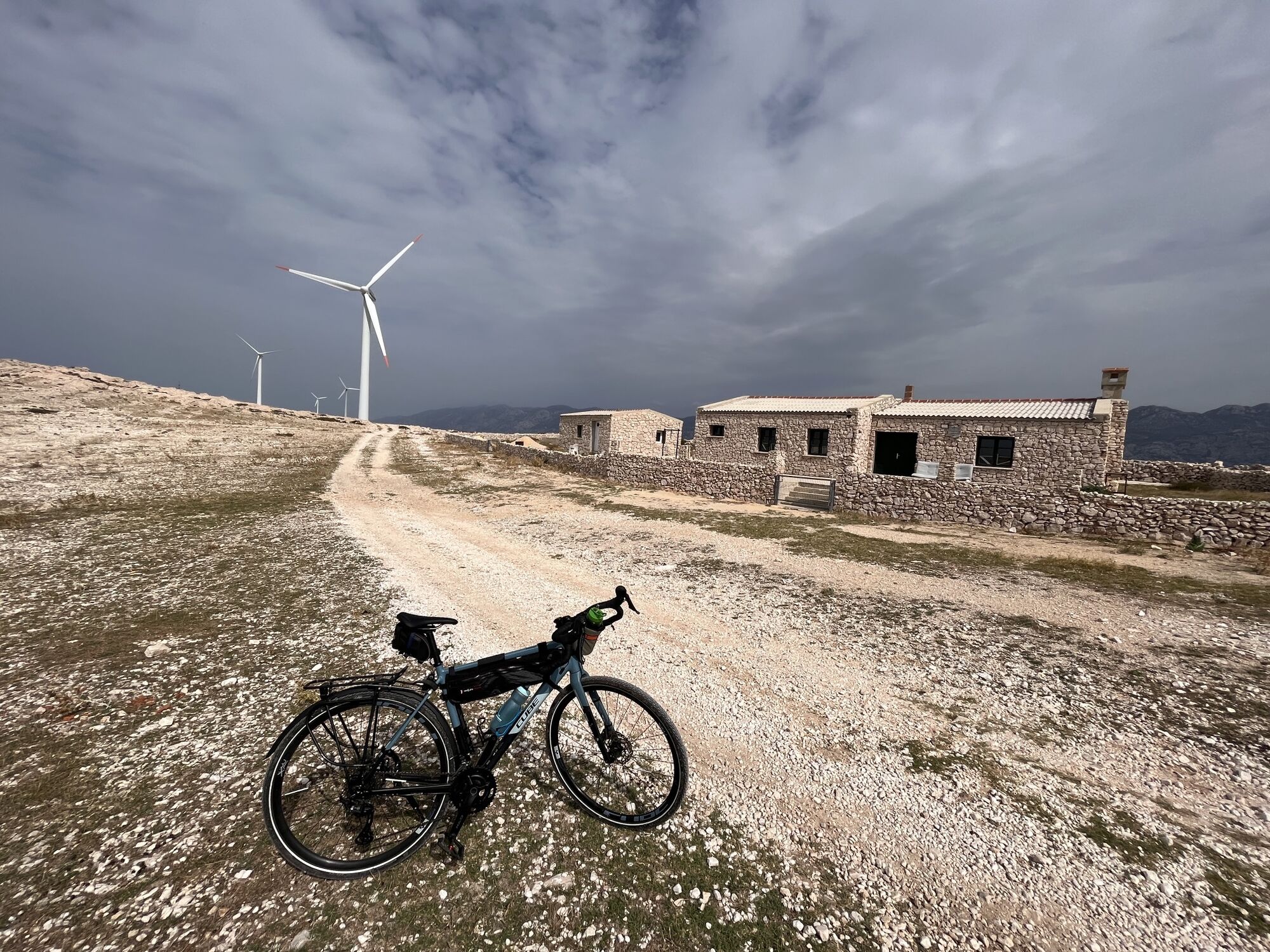
Going uphill from the town (CW direction on my round trip) is absolutely recommended option as most of the ascent, though steep, is paved in concrete. Further, from the top of the hill to south the road surface is a soft gravel in which wheels often fall into - going up that surface would be a painful and frustrating job. Nice views from the ridge.
Pas encore d'évaluation
Webcams de la tournée

Parcours populaires à proximité
-
5,0
Sveti Vid, Insel Pag
moyenRandonnée 2,31 km -
5,0
Life on Mars
moyenRandonnée 11,0 km -
Kolan-Pag-Kolan, Pag
facileFaire du vélo 11,0 km -
Novalja Brdski biciklizam (eBike)
moyenE-MTB 74,4 km -
Kuk od Karline plane
moyenRandonnée en montagne 8,57 km -
Pag - Nemčić - Kapelica Sv. Ante - Crkva Sv. Jurja
Faire du vélo 27,4 km -
4,0
Metajna - Vela glavica - Stogaj
moyenRandonnée 16,8 km -
Novalja - crkva svetog Luke Evanđelista - Gospa od Ružarija - crkva svetog Mavra
difficileVélo de course 167,8 km -
4,0
Baške Oštarije - Kiza - Kuk od Karline plane - Ljubičko brdo
moyenRandonnée 15,7 km -
Baške Oštarije - Ljubičko brdo - Kuk od Karline plane - Kiza
moyenRandonnée 10,7 km
Randonnée et suivi

Plus de 550.000 propositions de circuits, des cartes détaillées et un planificateur d'itinéraire intuitif font de cette application un must pour tous les passionnés de nature.

Ne manquez pas les offres et l'inspiration pour vos prochaines vacances
S'inscrire à la newsletter
Erreur
Une erreur s'est produite. Veuillez réessayer.
Merci pour votre inscription
Votre adresse électronique a été ajouté à la liste de diffusion.
Parcours en Europe
Autriche
Suisse
Allemagne
Italie
Slovénie
France
Pays-Bas
Belgique
Pologne
Liechtenstein
République tchèque
Slovaquie
Espagne
Croatie
Bosnie-Herzégovine
Luxembourg
Andorre
Portugal
Islande
Royaume-Uni
Irlande
Grèce
Albanie
Macédoine du Nord
Malte
Norvège
Monténégro
Moldavie
Kosovo
Hongrie
Saint-Marin
Roumanie
Estonie
Lettonie
Bélarus
Chypre
Lituanie
Serbie
Bulgarie
Monaco
Danemark
Suède
Finlande
Parcours en Croatie
Istrie
Kvarner
Lika - Karlovac
Dalmatie - Zadar
Dalmatie - Šibenik
Dalmatie - Split
Dalmatie - Dubrovnik
Zagreb
Croatie centrale
Slavonie
Ville de Zagreb
Krapina-Zagorje
Comitat de Varaždin
Comitat de Međimurje
Comitat de Koprivnica-Križevci
Comitat de Virovitica-Podravina
Comitat d'Osijek-Baranja
Comitat de Vukovar-Syrmie
Comitat de Brod-Posavina
Comitat de Sisak-Moslavina
Comitat de Karlovac
Comitat de Zagreb