Naviguer avec l'appli
Télécharge cette visite sur ton portable
Carte
" The Carmelitas track " Portugal
difficile
VTT
111,37 km
Scanner le code QR et commencer la navigation dans l'application bergfex
QR Code
Randonnée & tracking
Téléchargement pour iOS
Téléchargement pour Android

" The Carmelitas track " Portugal
Carte
Distance
111,4 km
Durée
06:38 h
Ascension
1 974 m
Altitude
-27 - 359 m
Téléchargement de la piste
Carte
" The Carmelitas track " Portugal
difficile
VTT
111,37 km

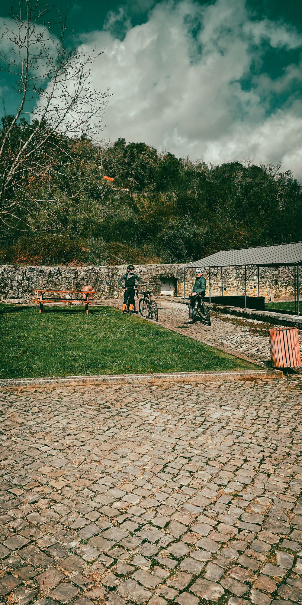
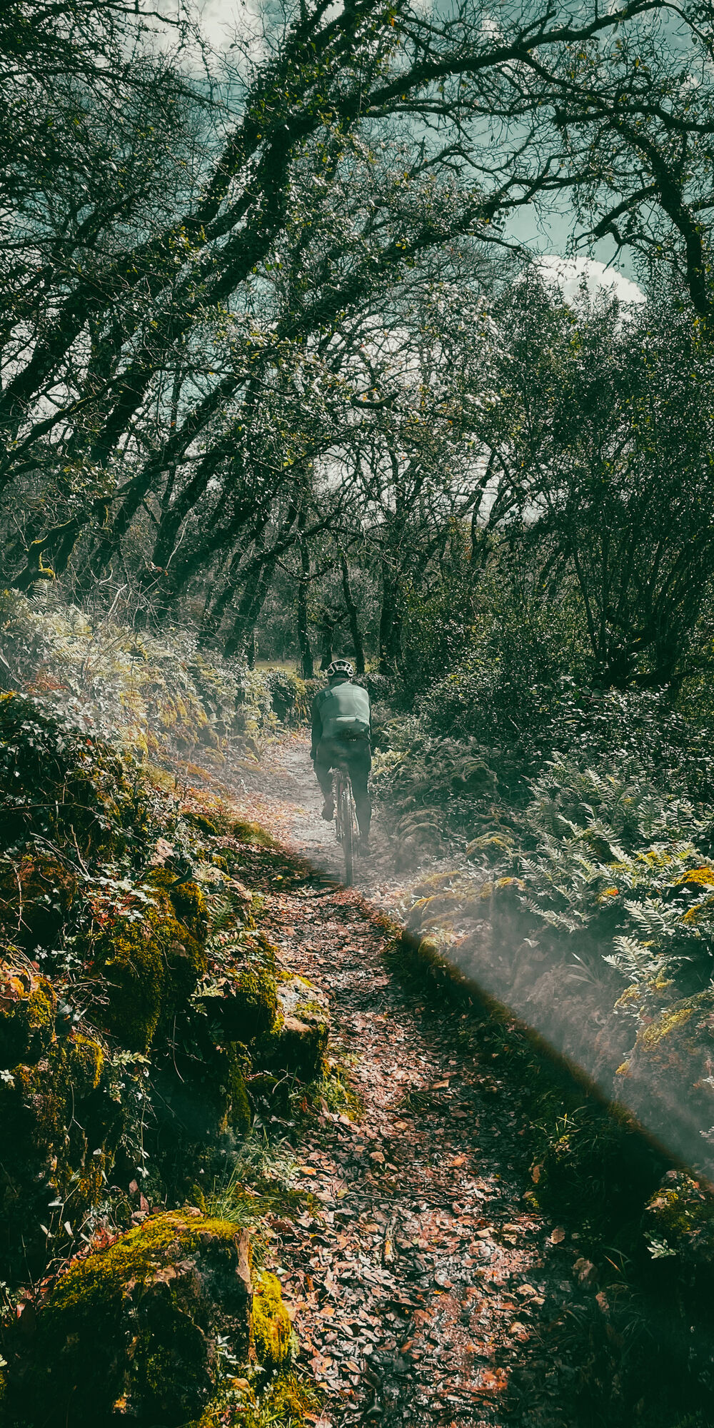
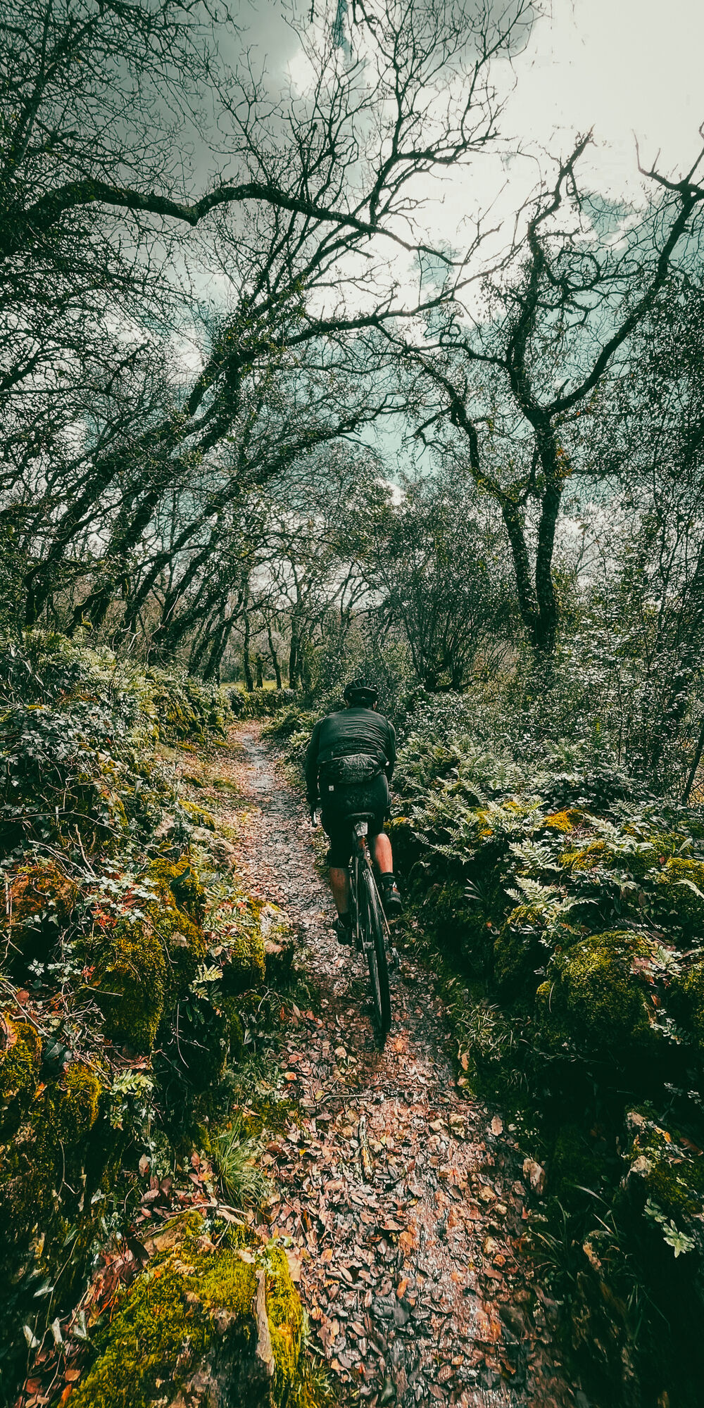
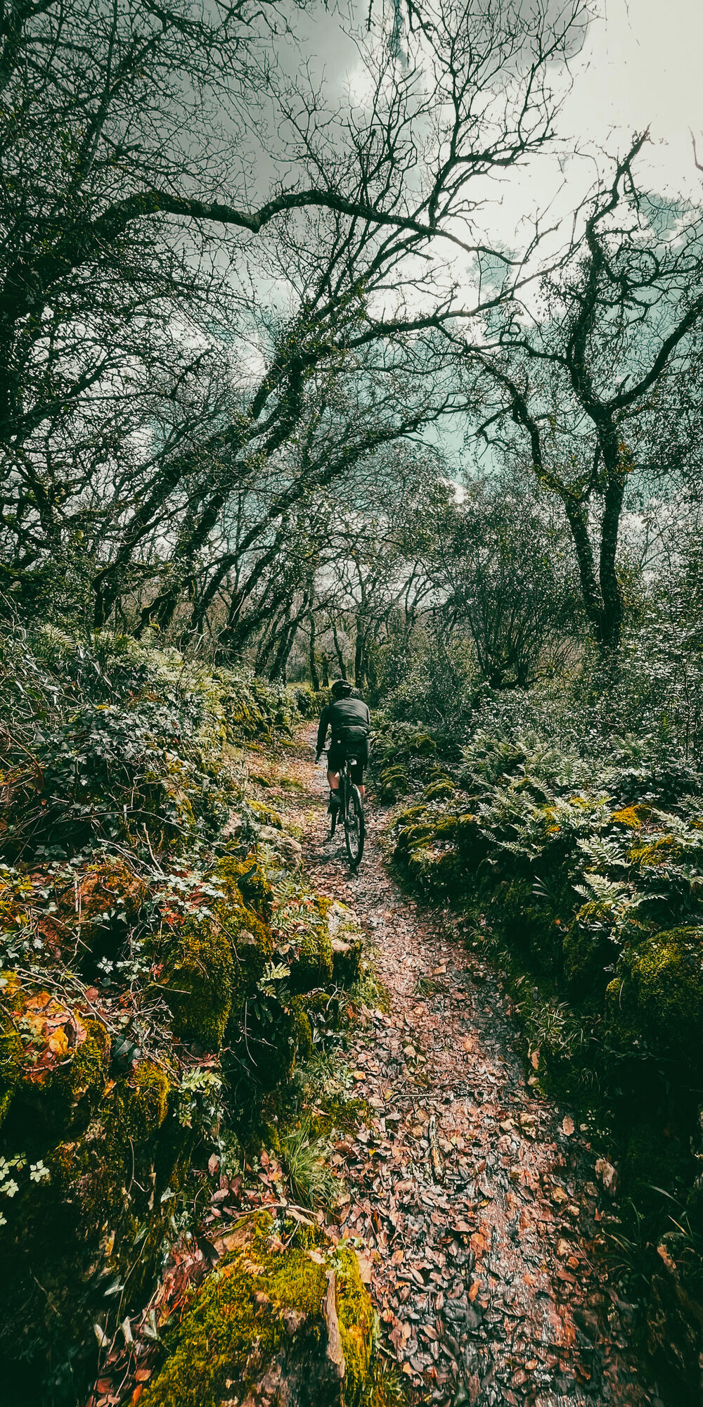
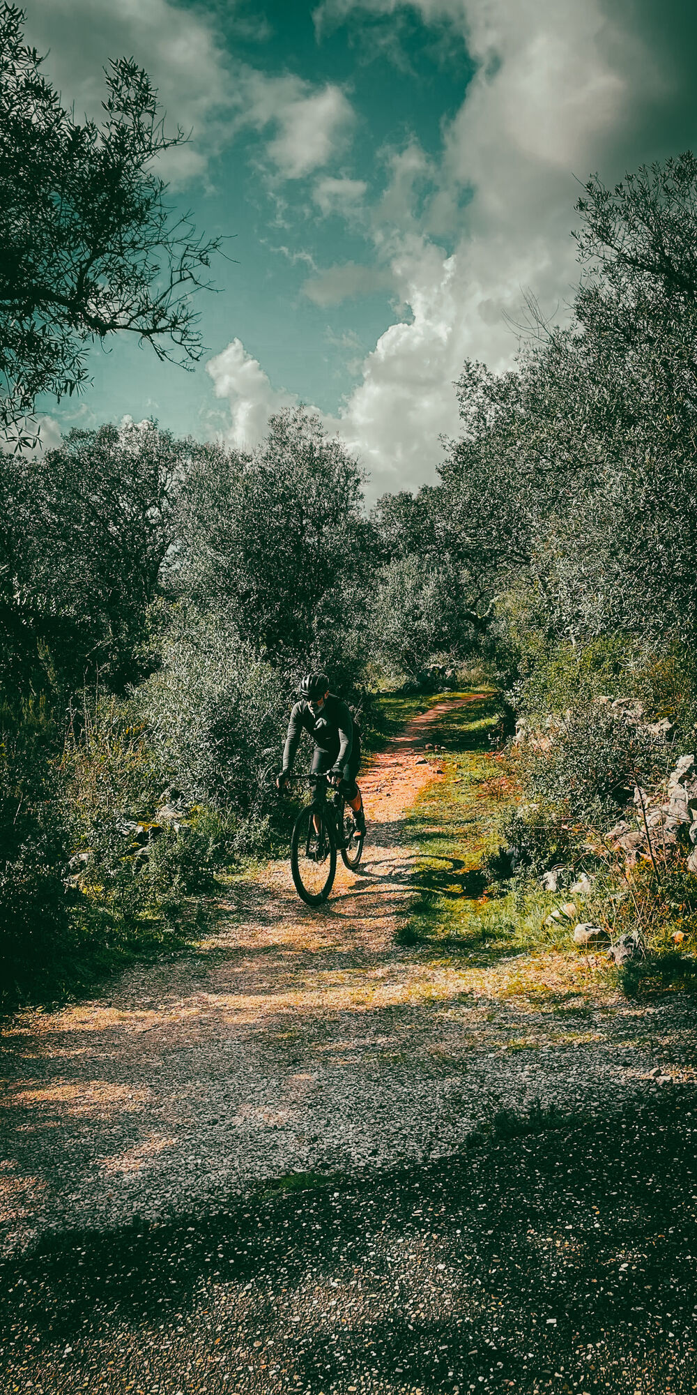
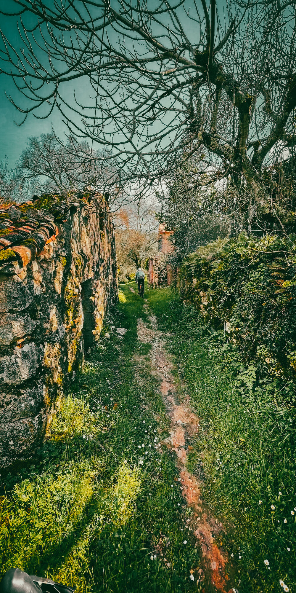
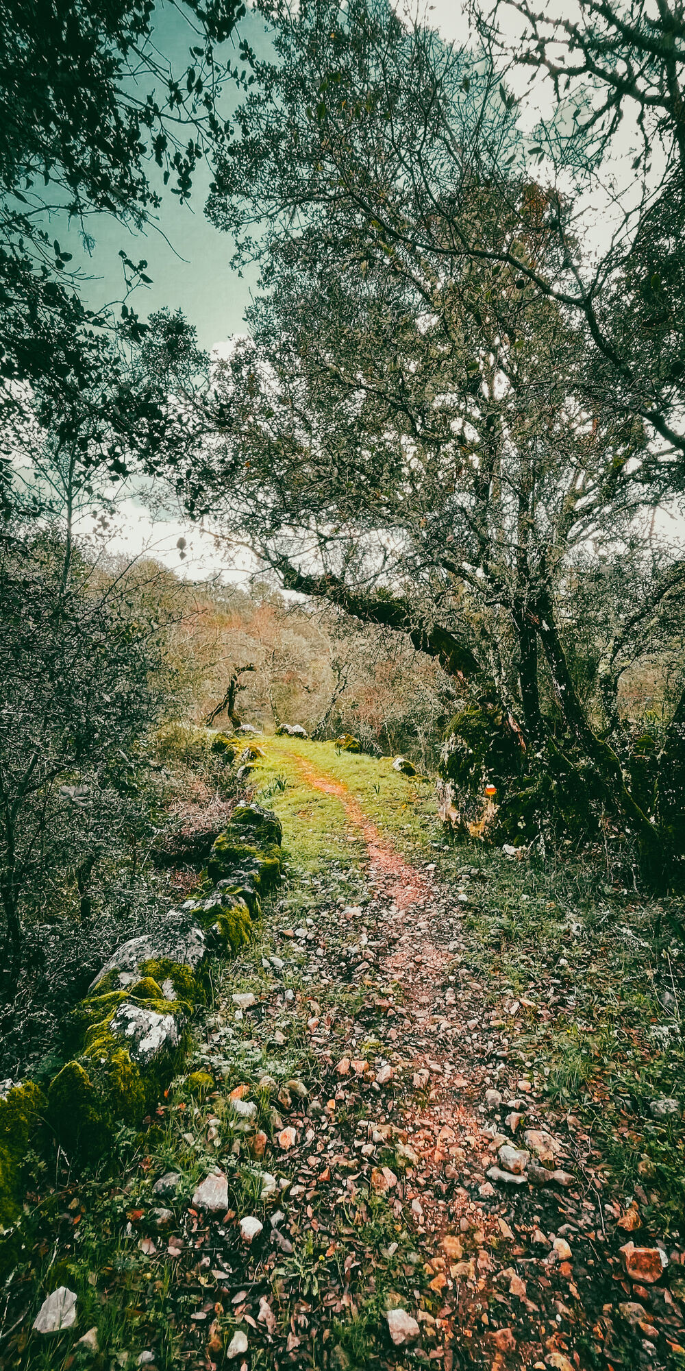
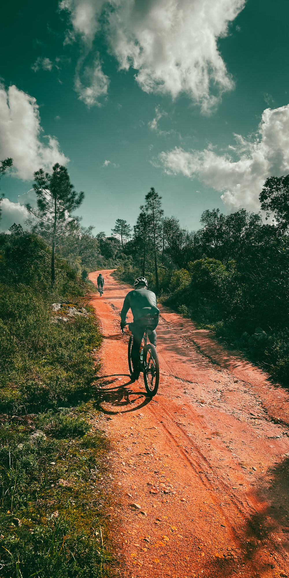
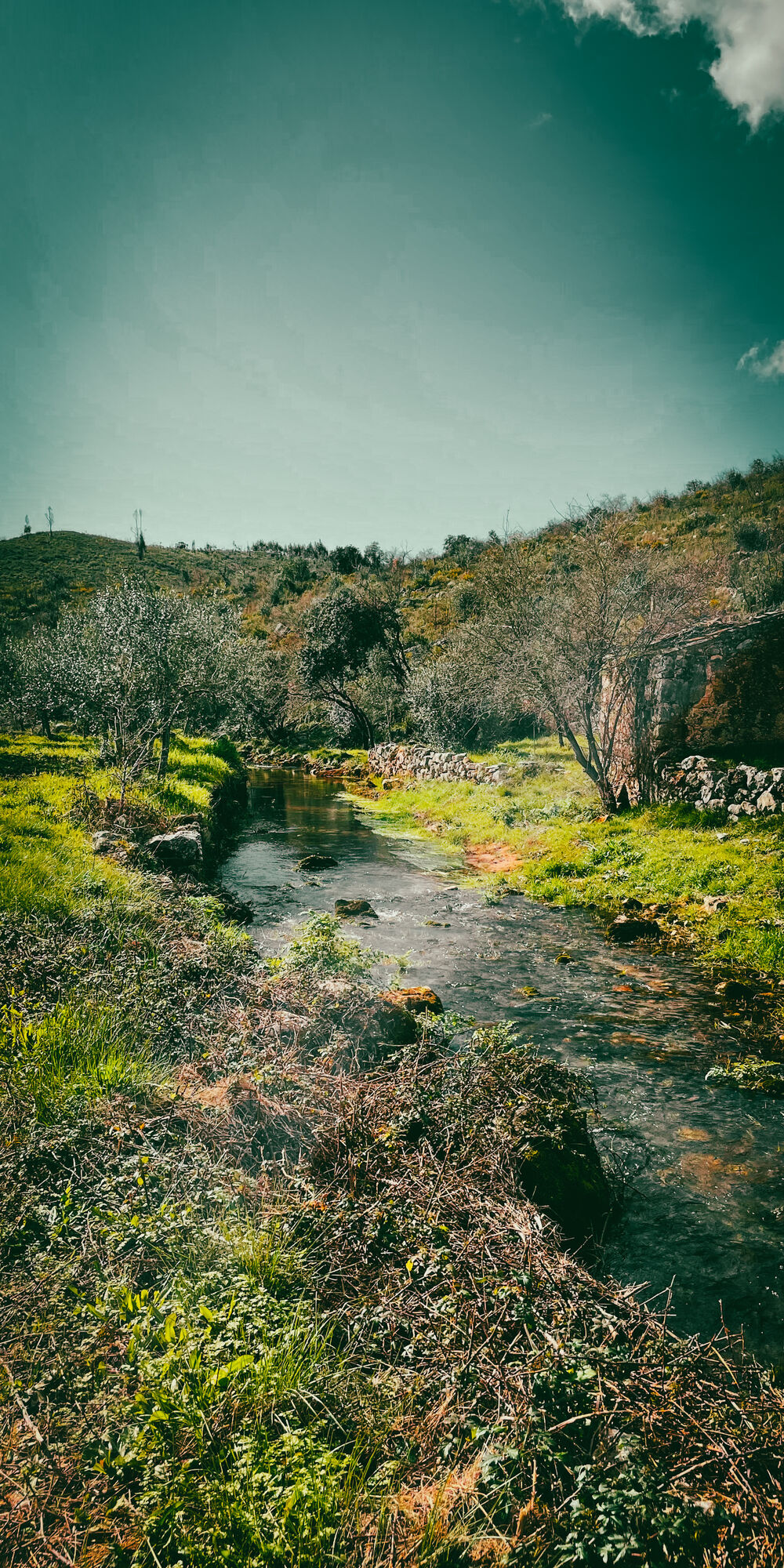
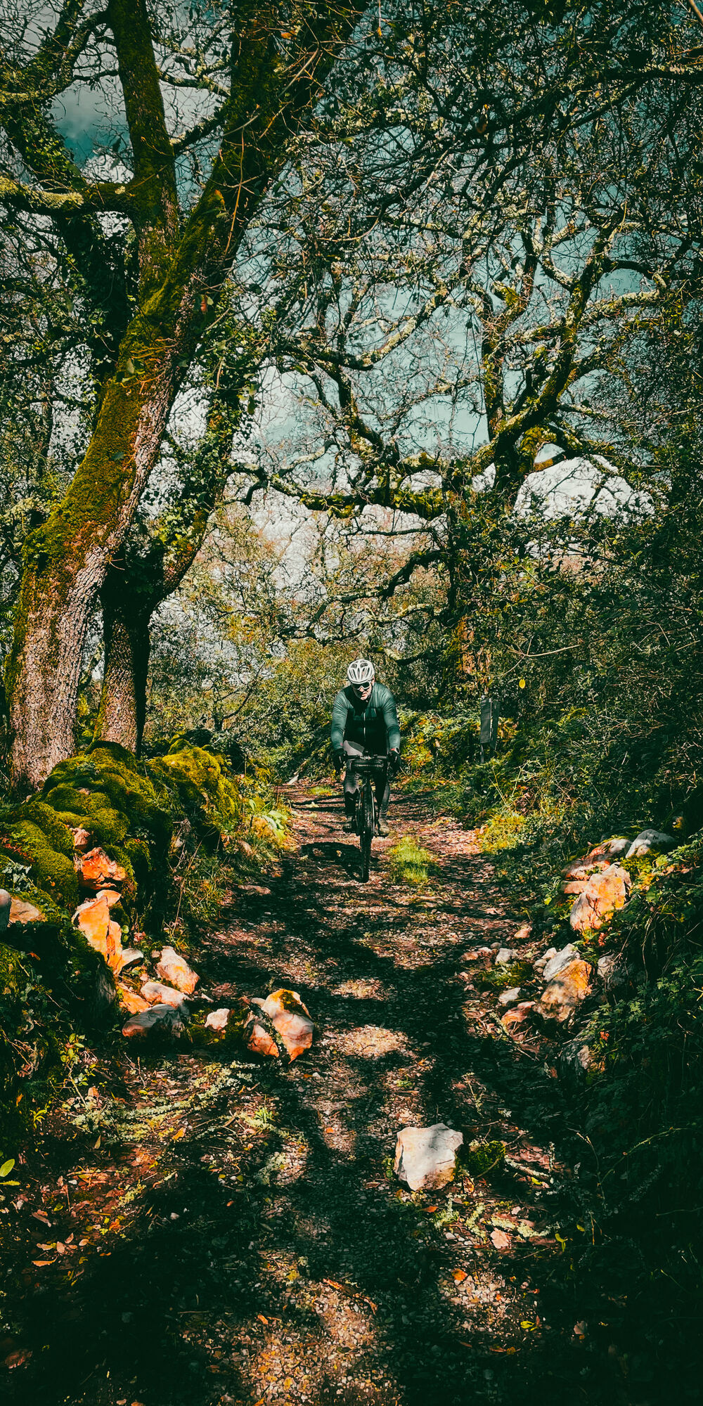
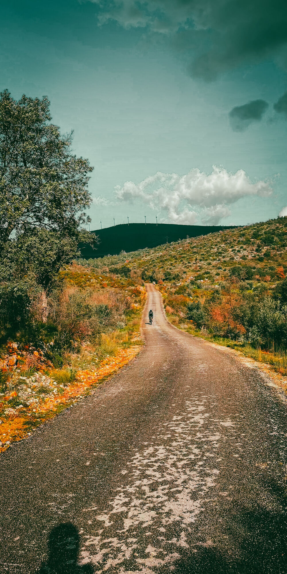
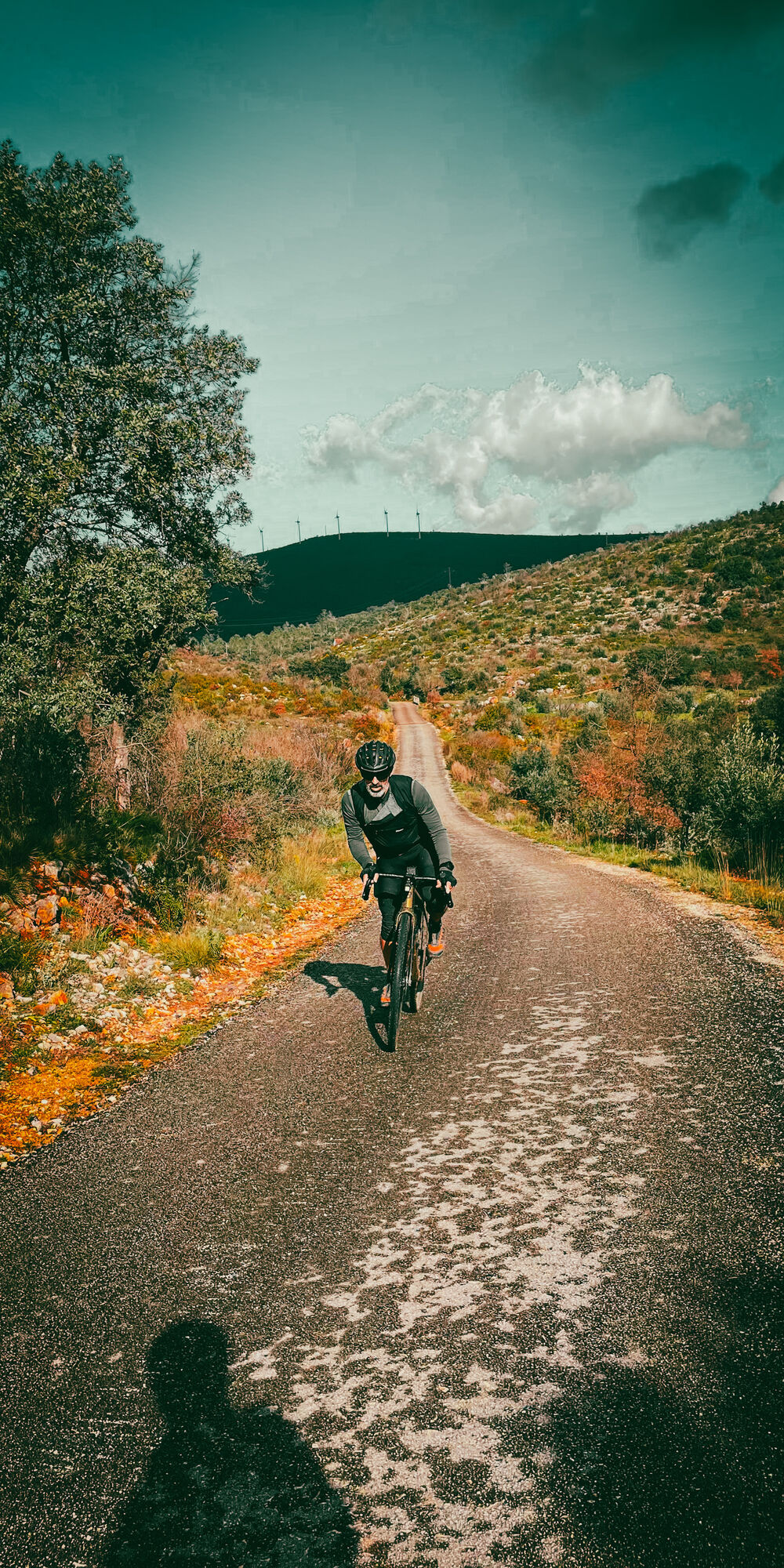
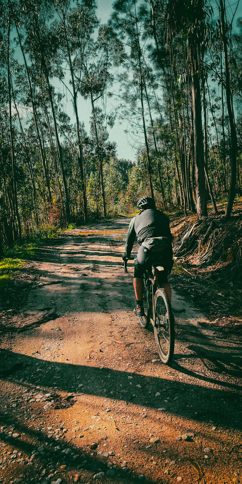
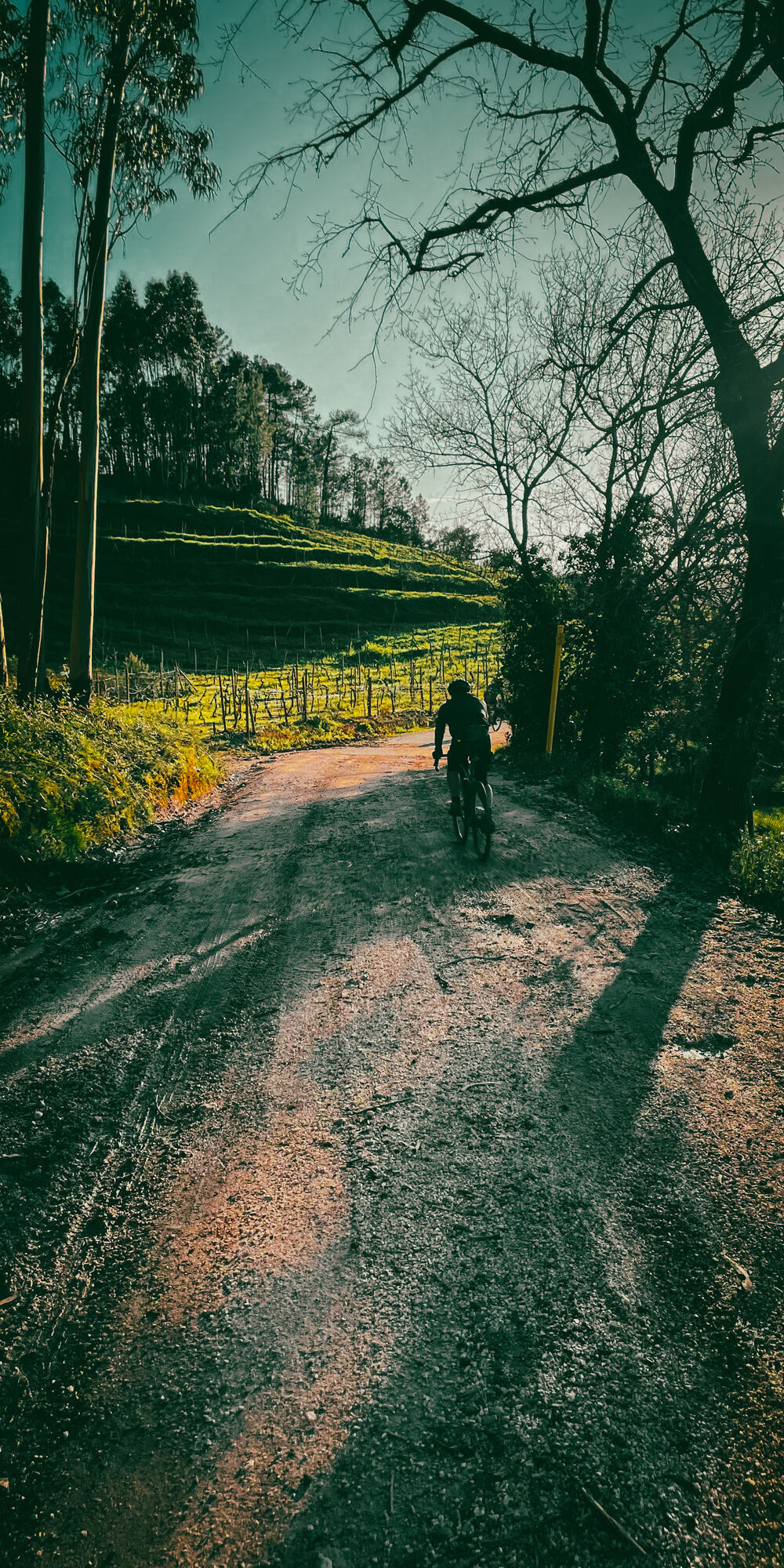
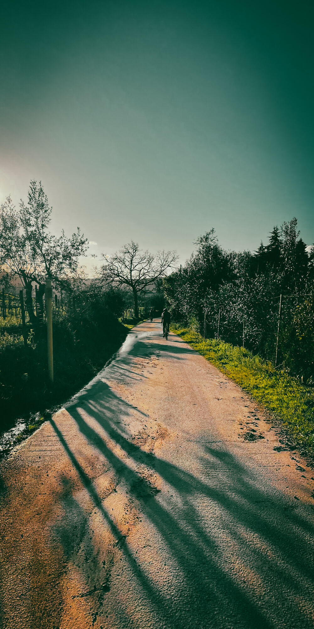
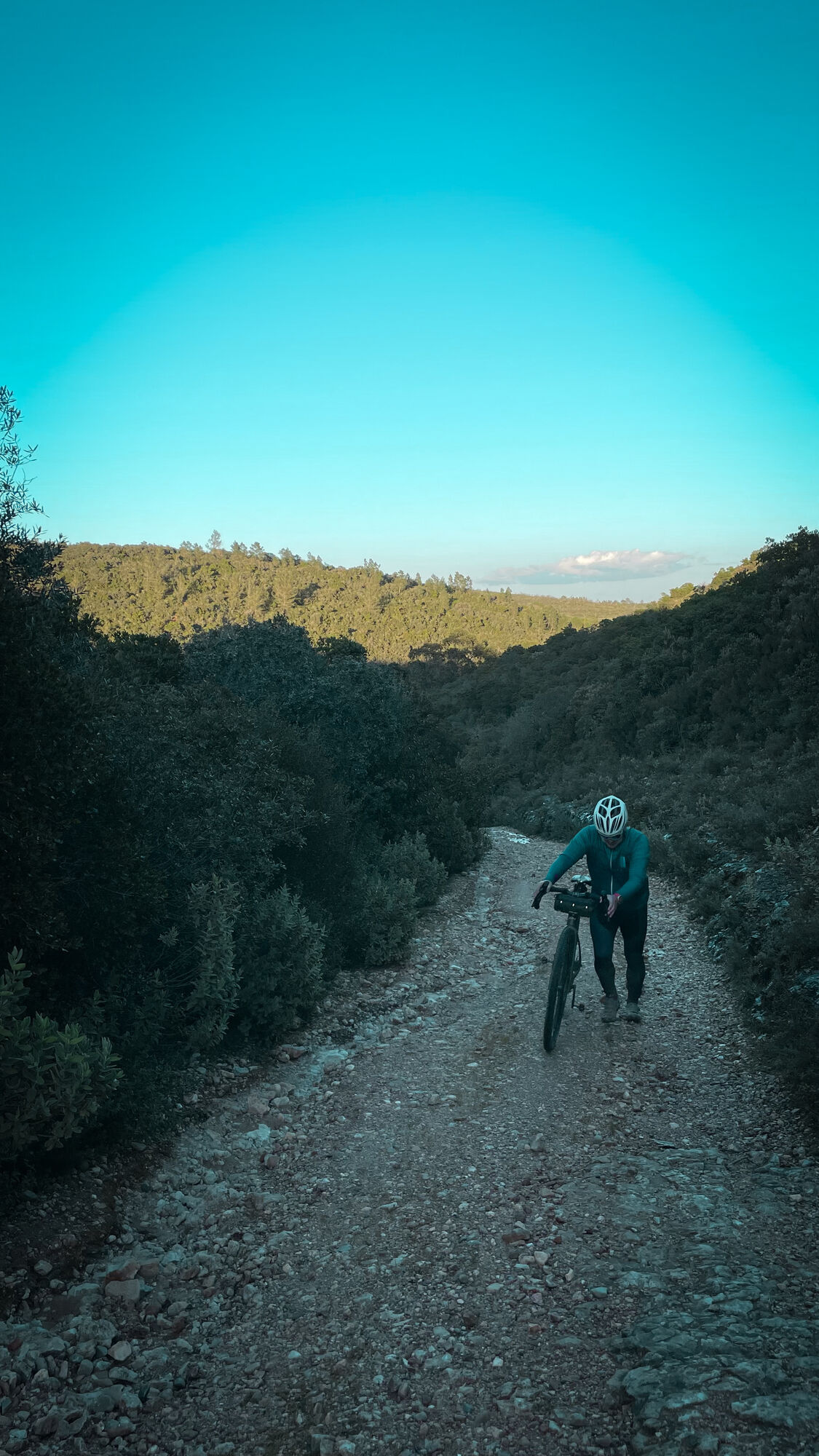
The Carmelite Route is a Way of Fatima in the territory of Central Portugal, between Coimbra and the Sanctuary of Fatima. This thematic itinerary is inspired by the life and work of Sister Lúcia, one of...

Description

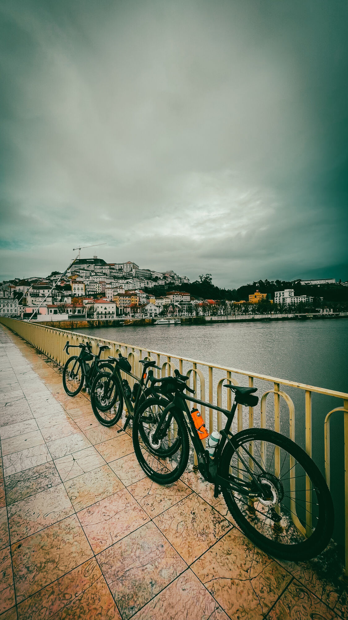
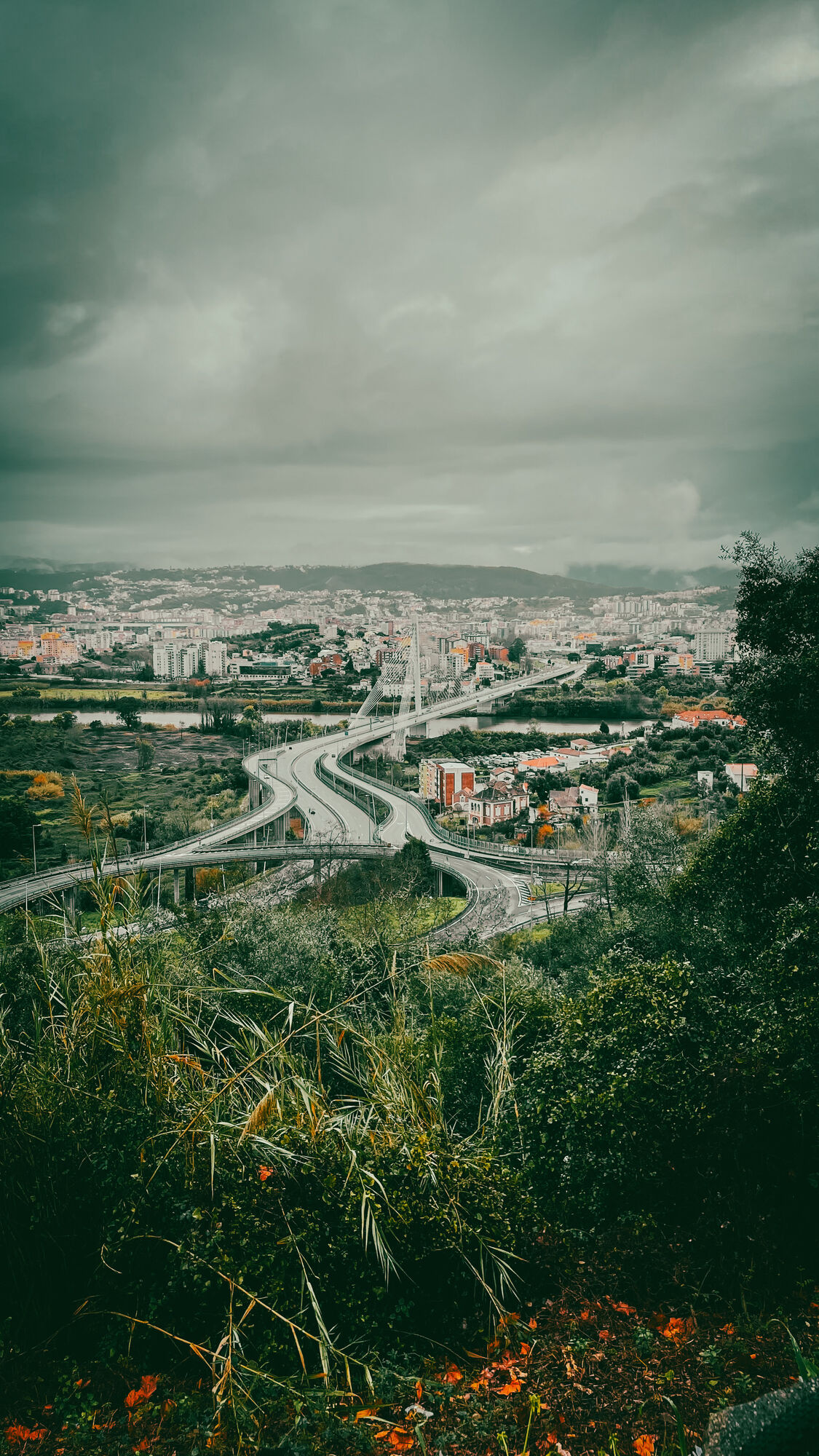
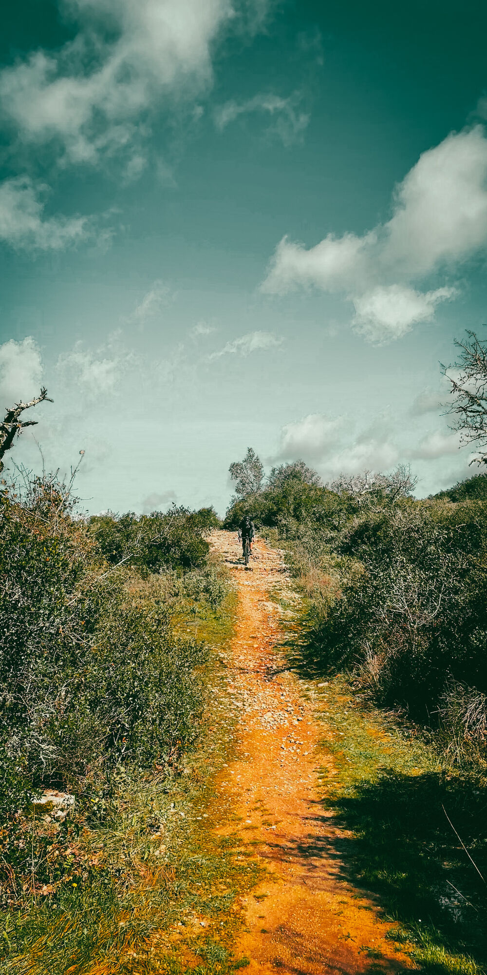
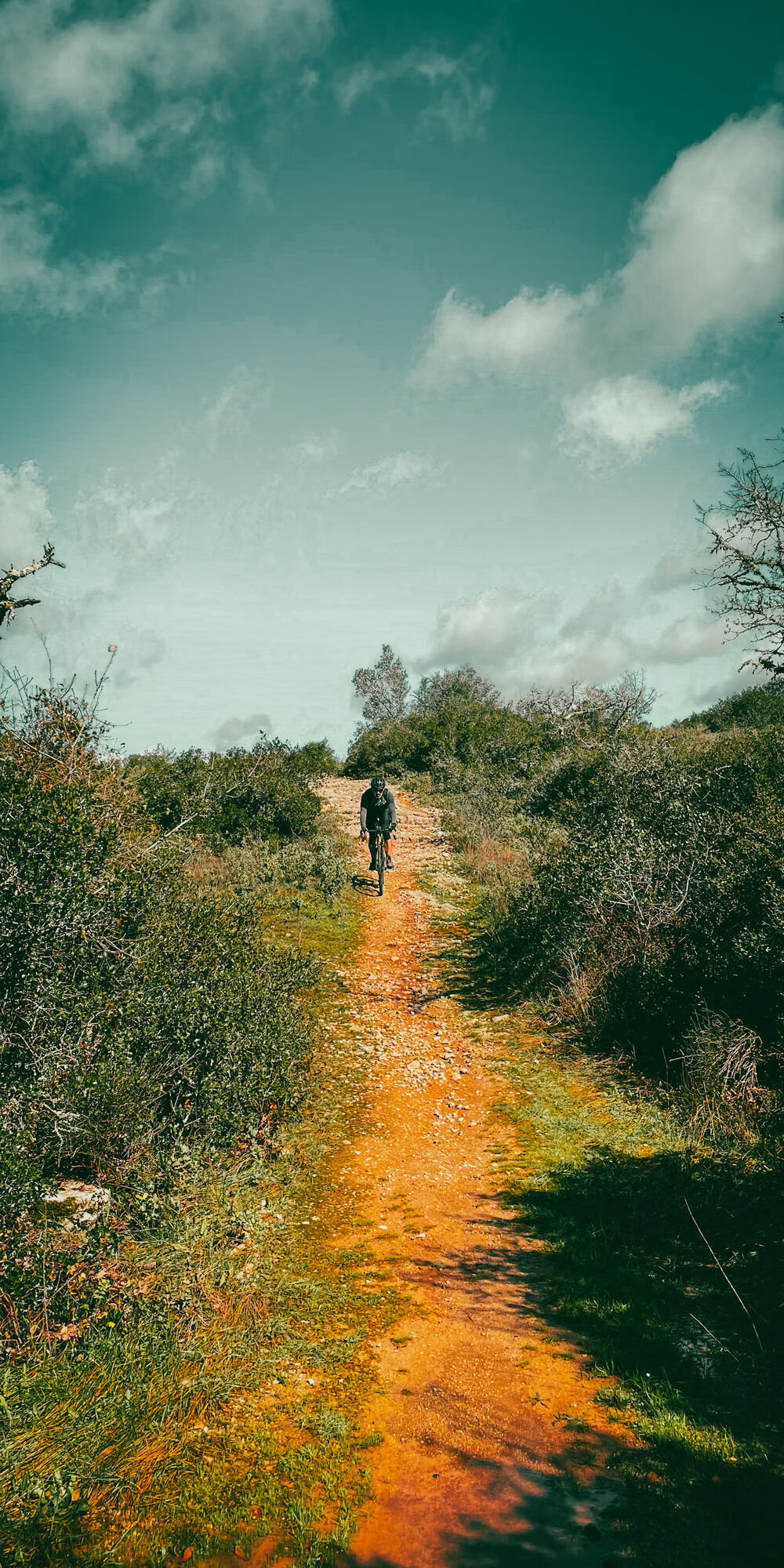
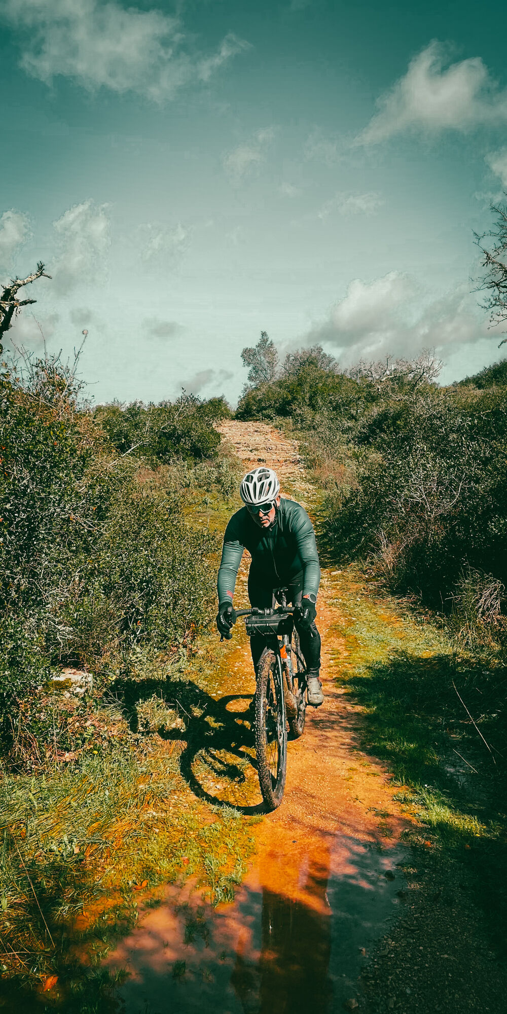
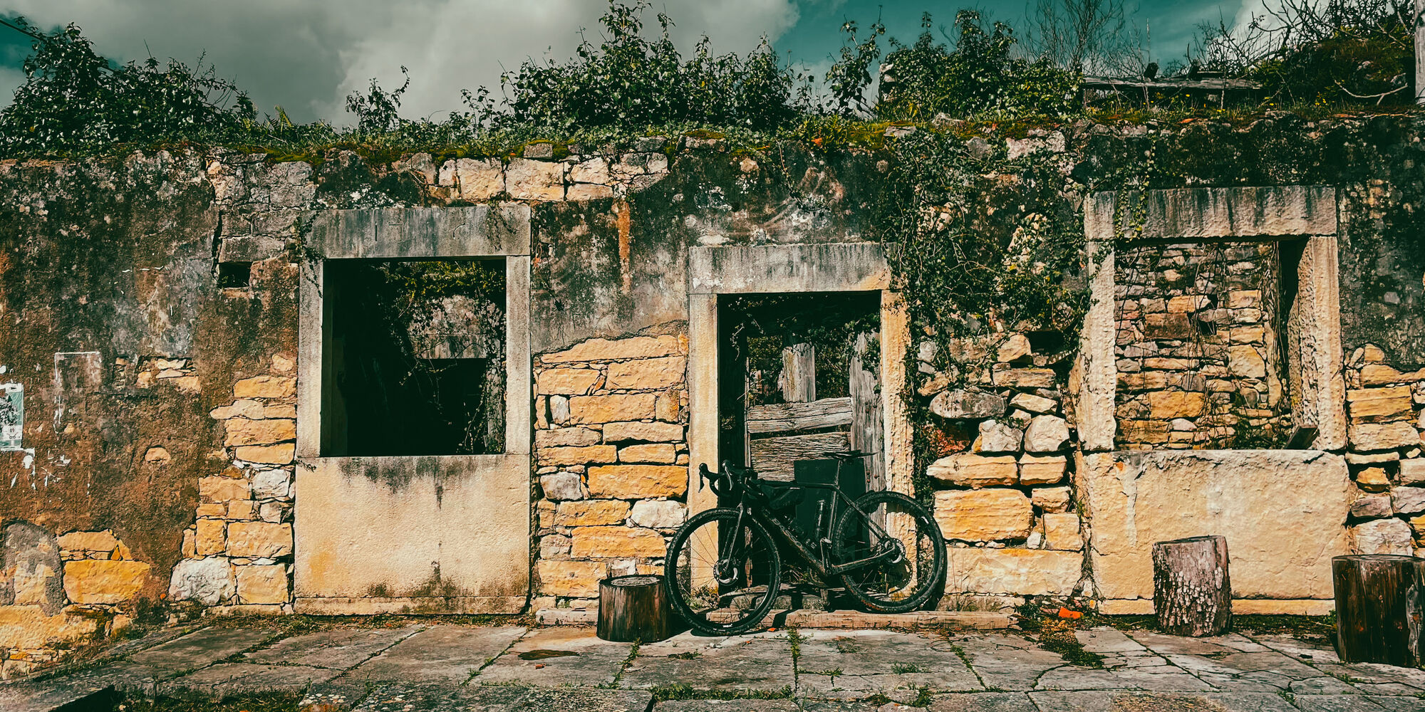
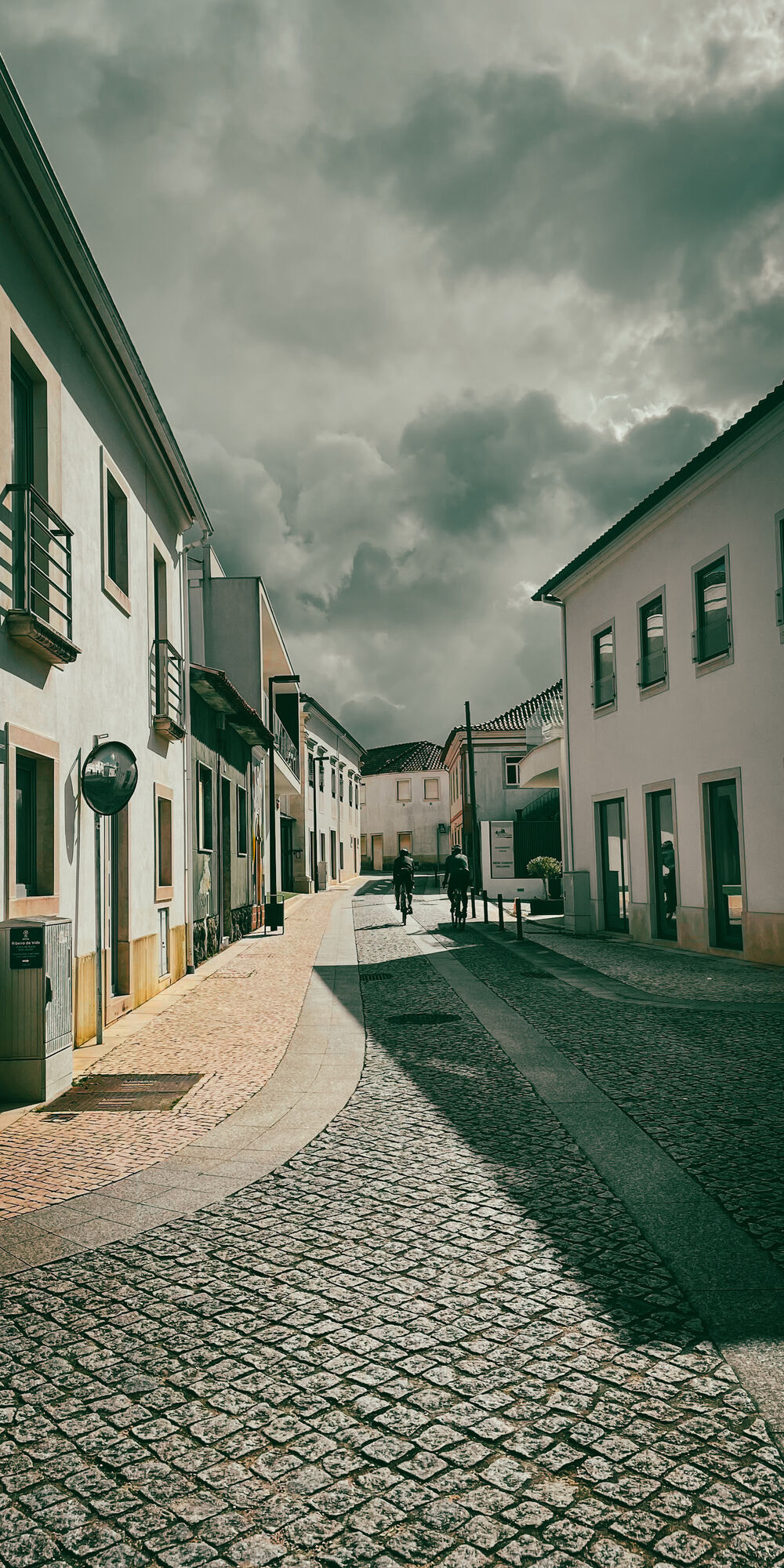
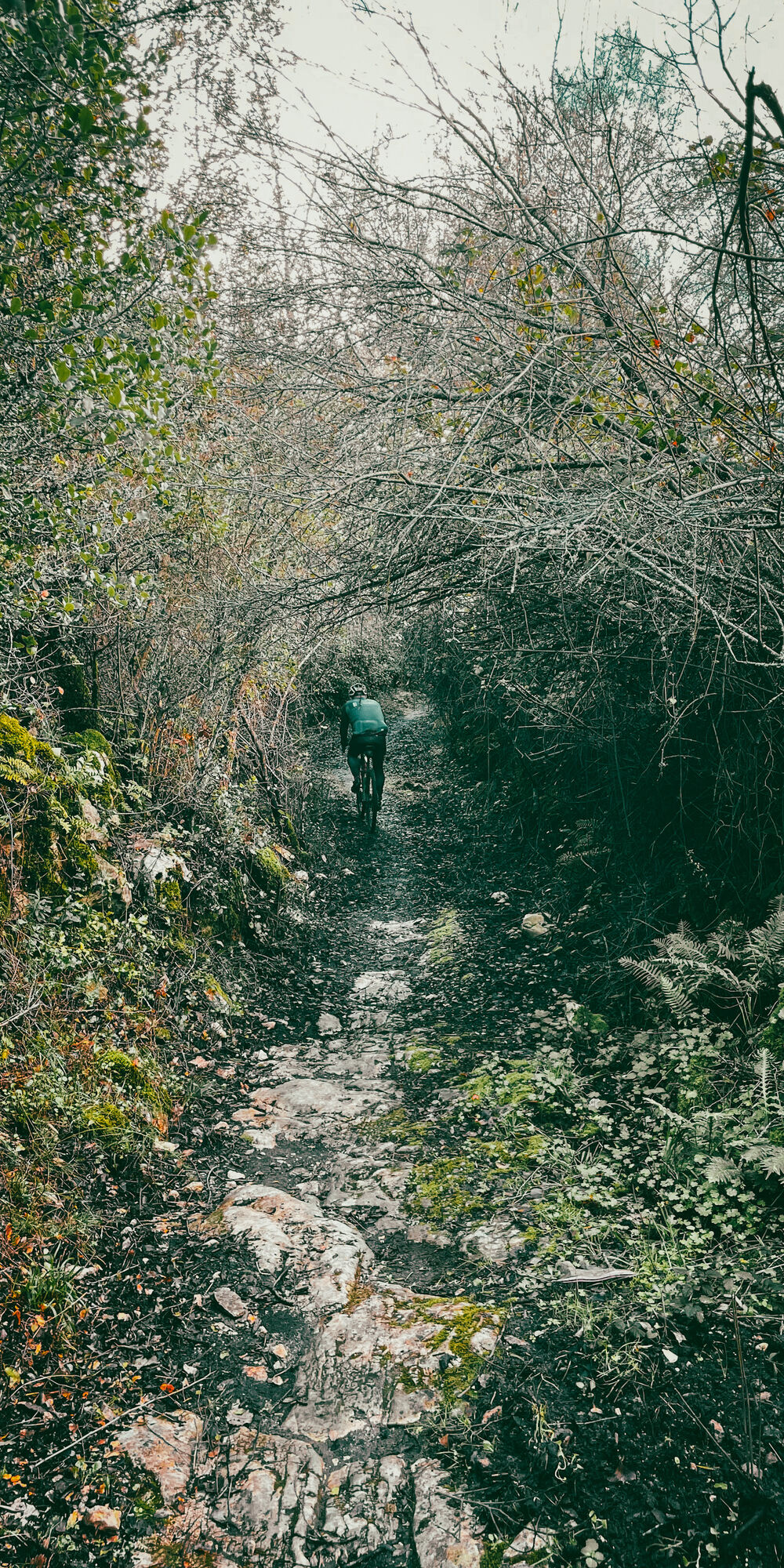
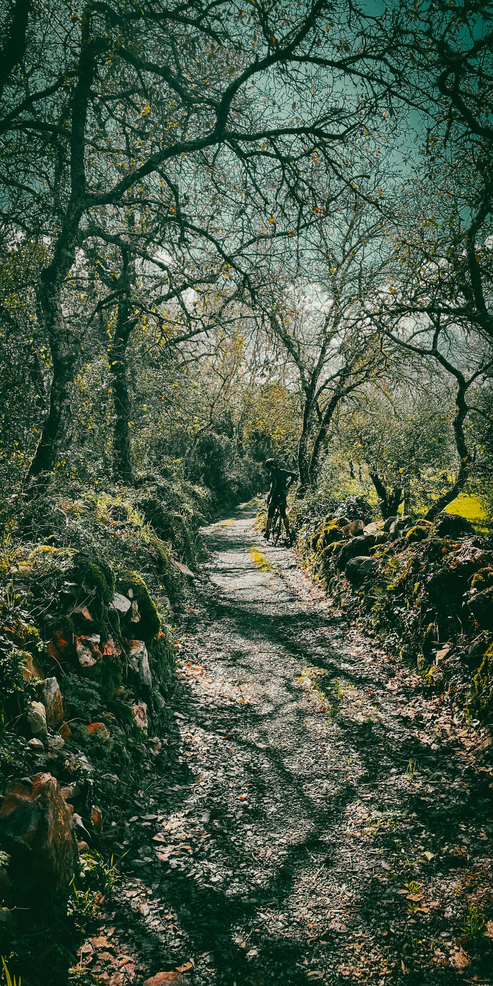
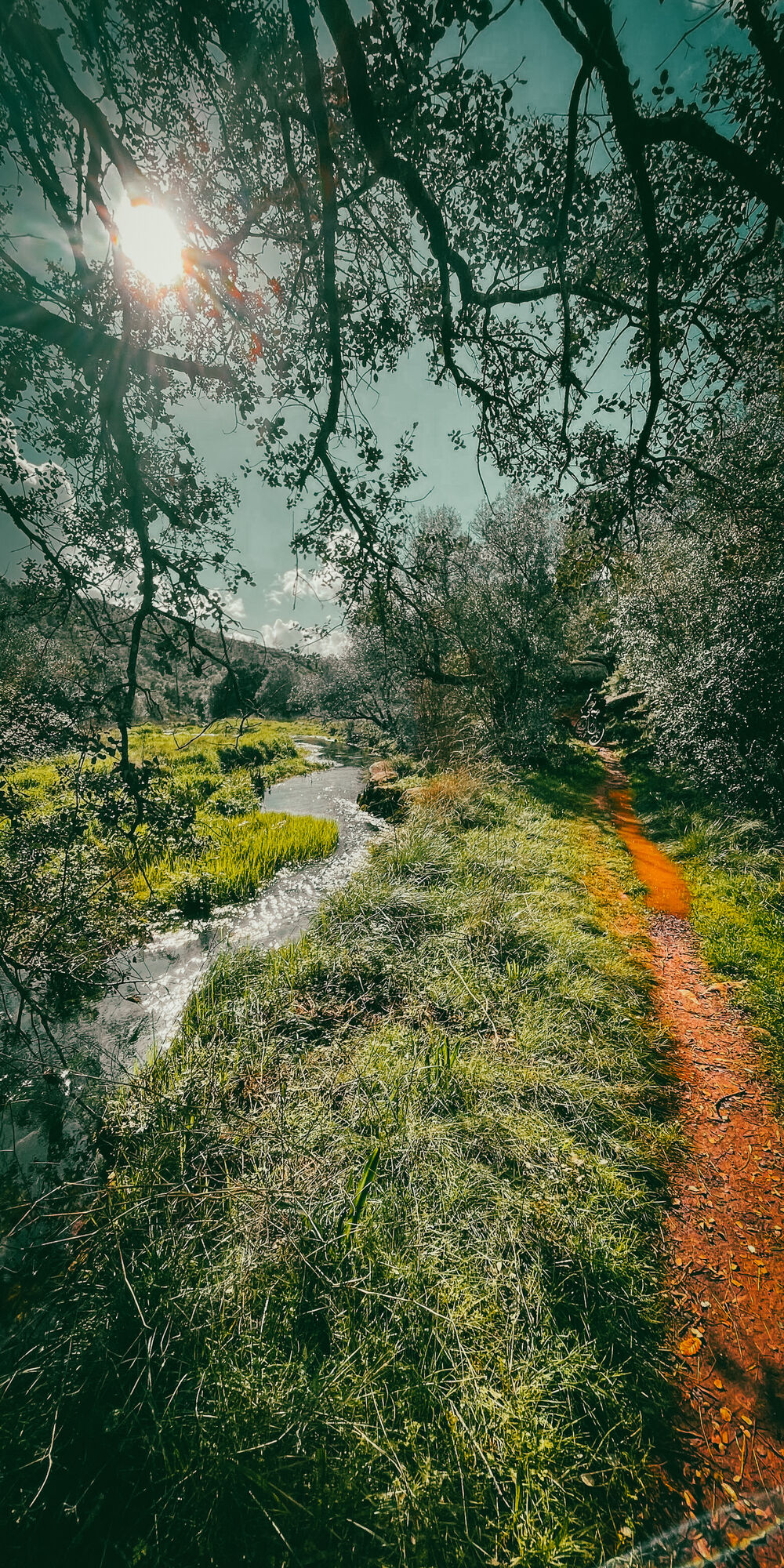
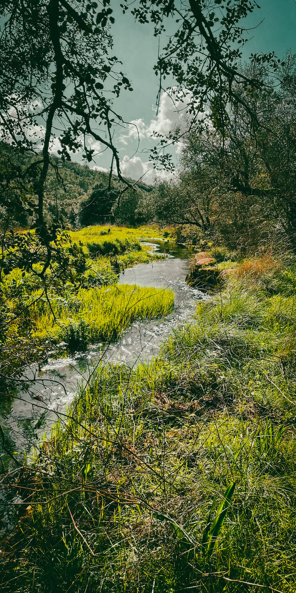
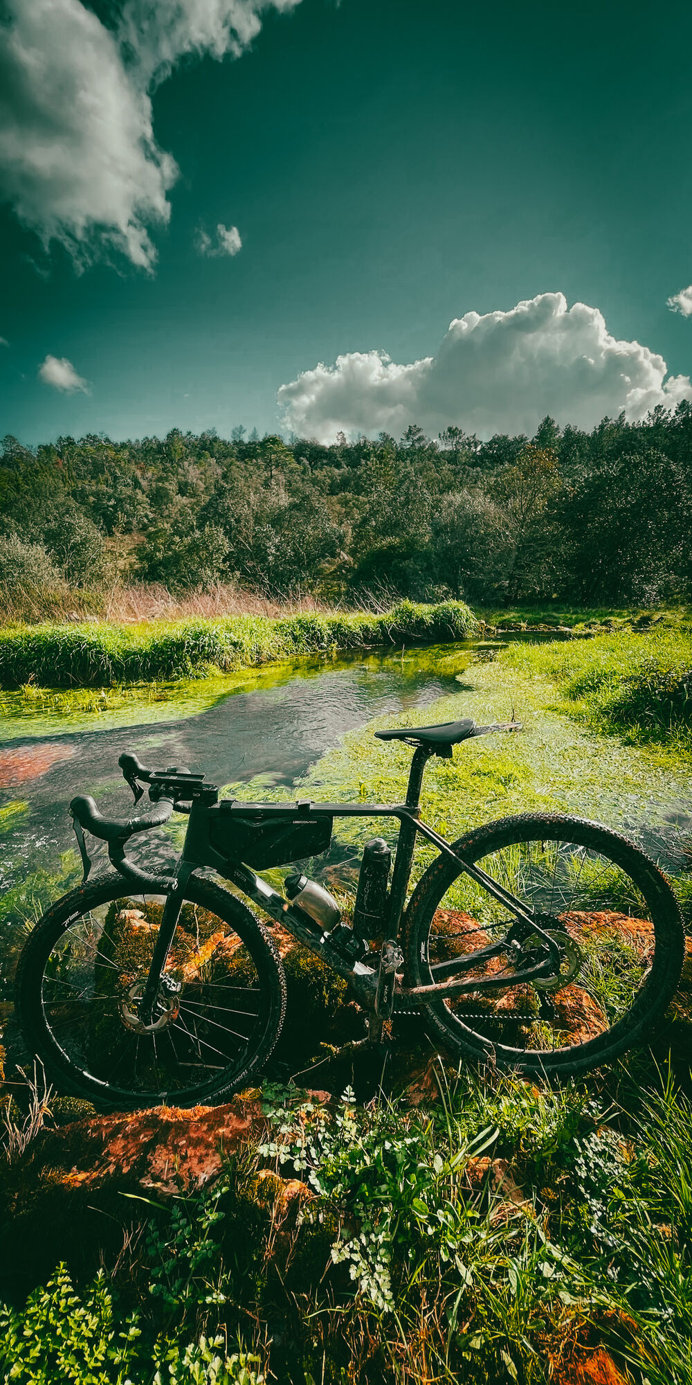
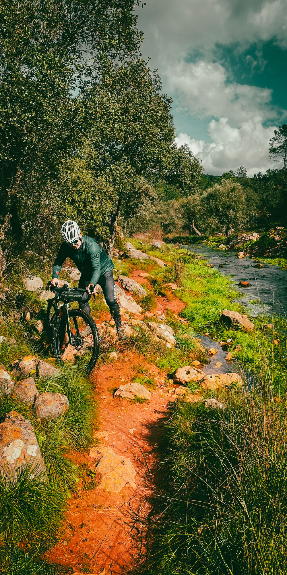
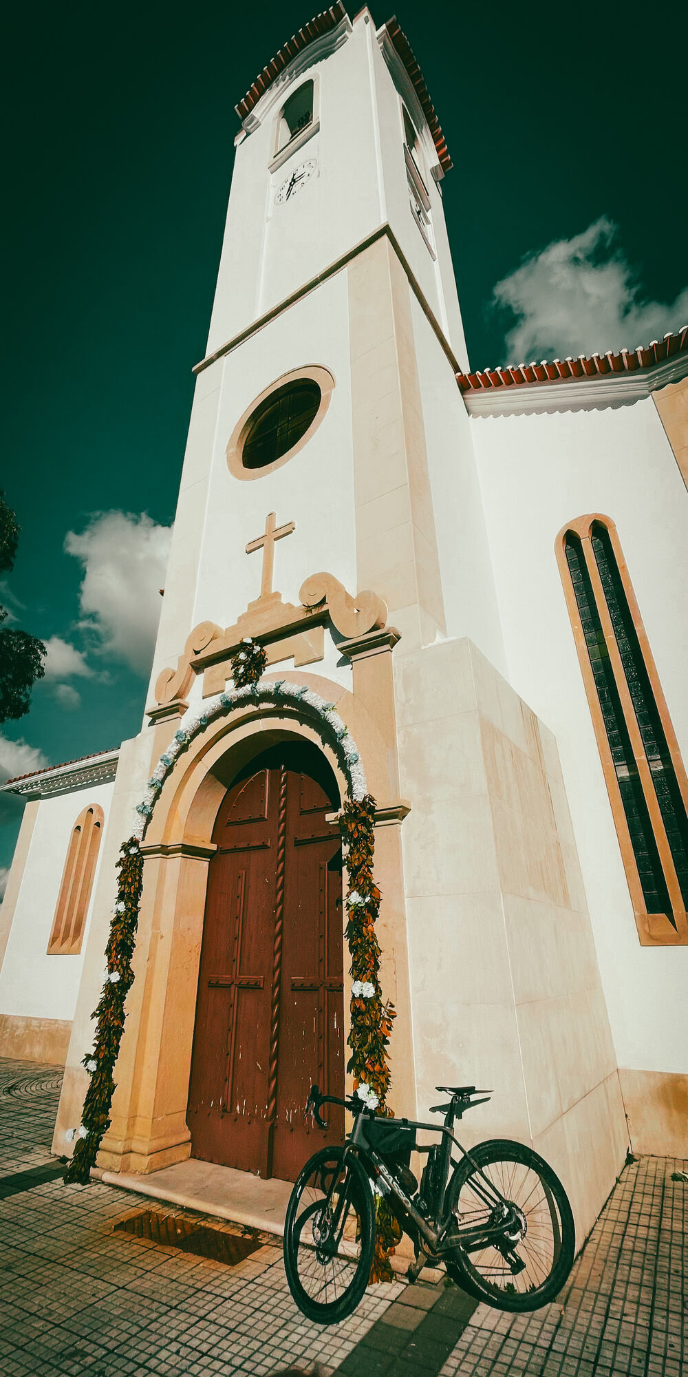
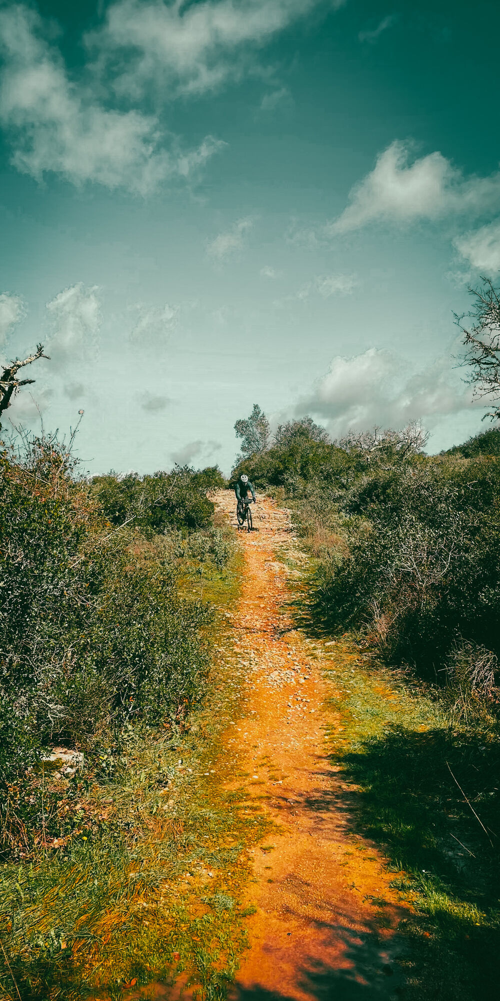
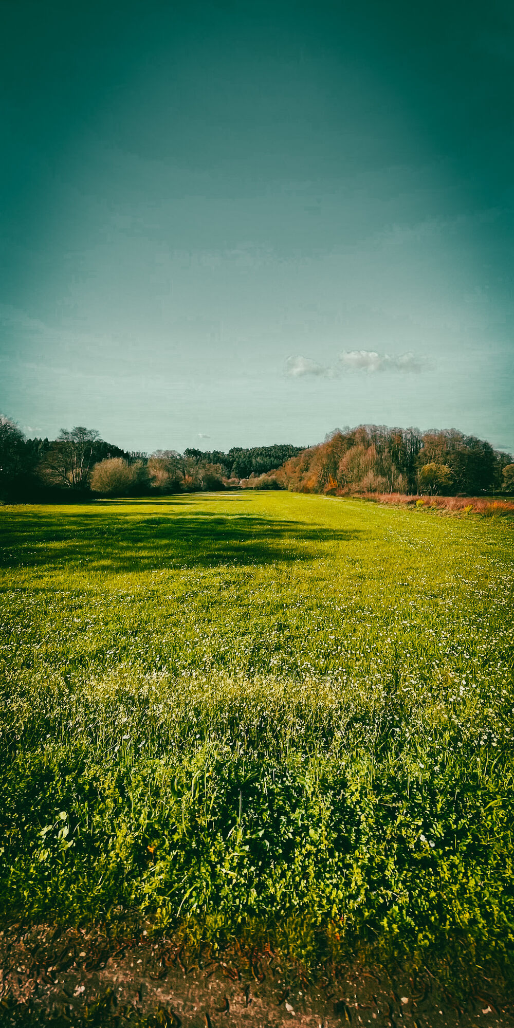
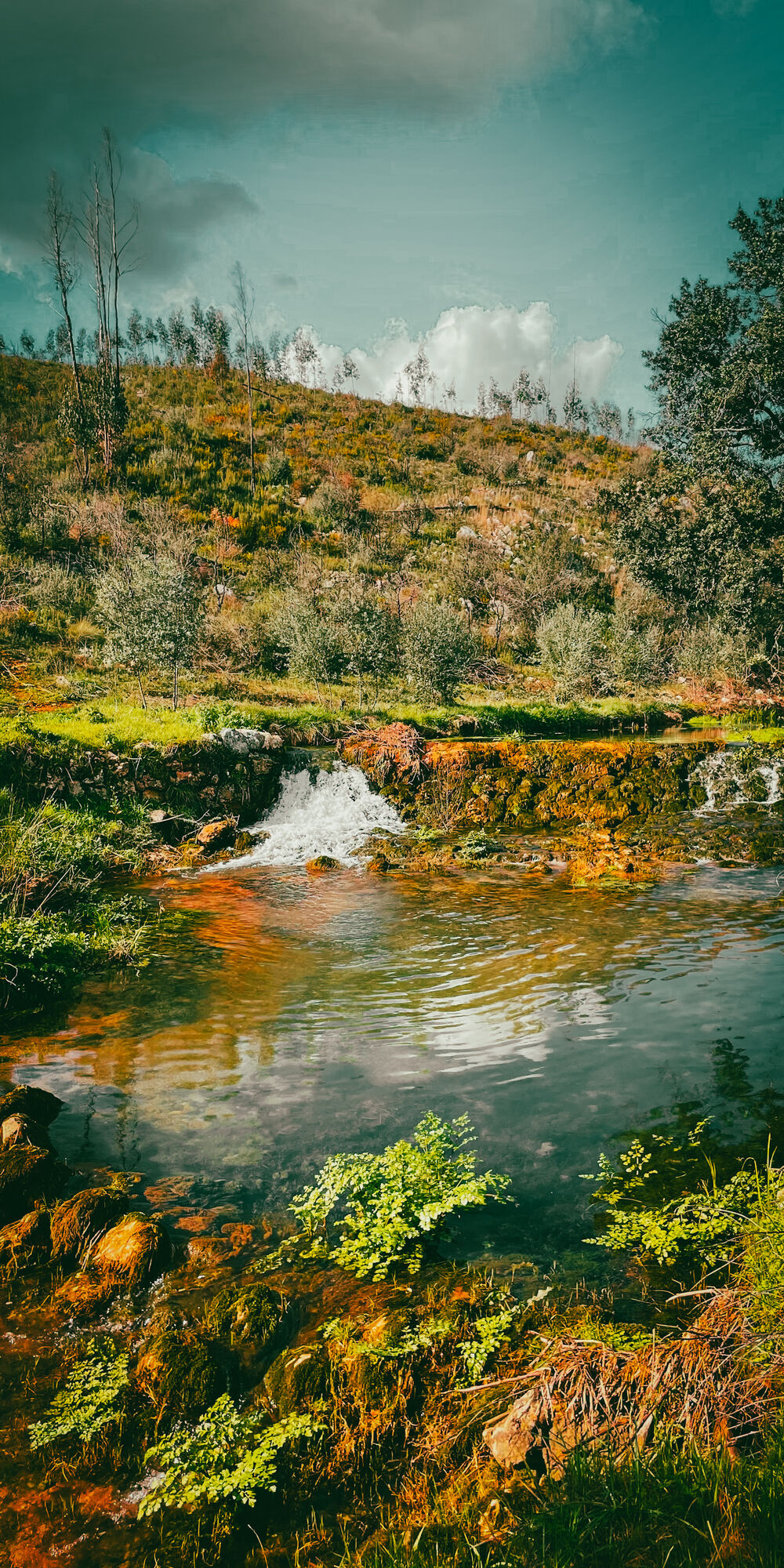
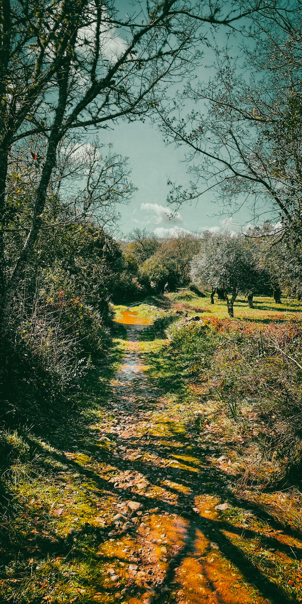
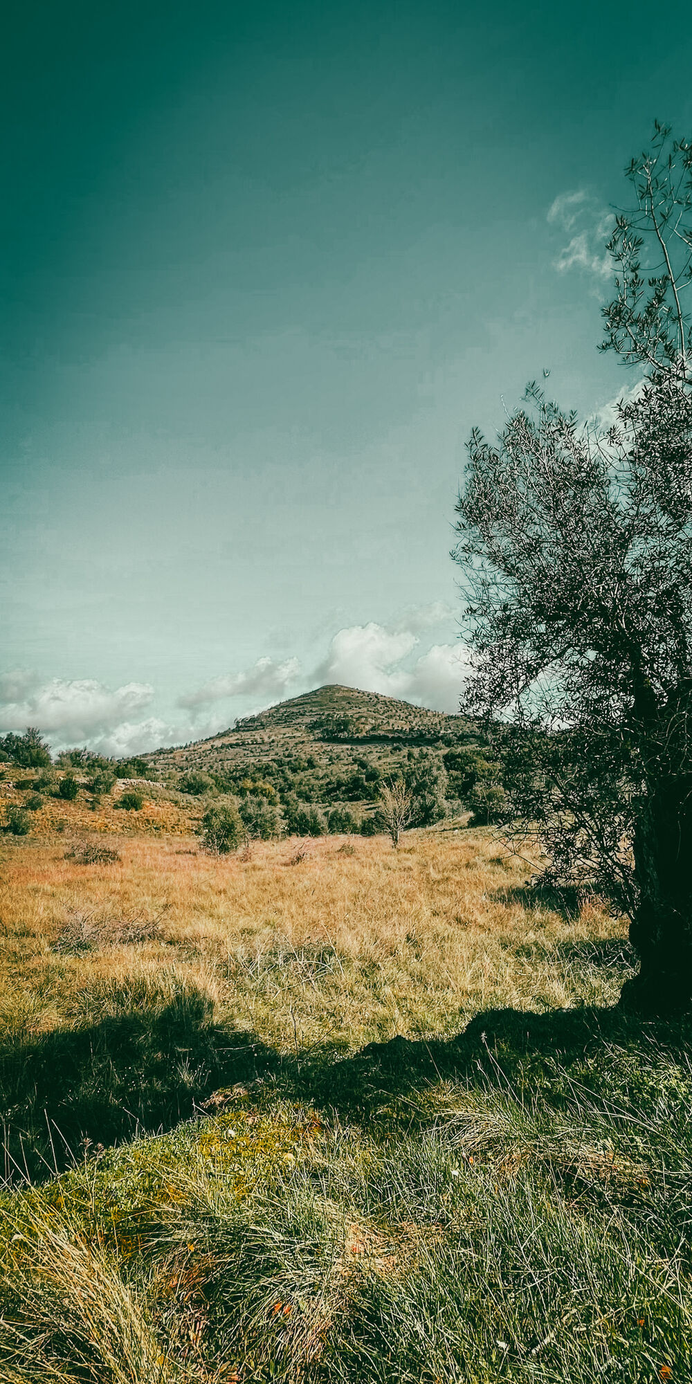
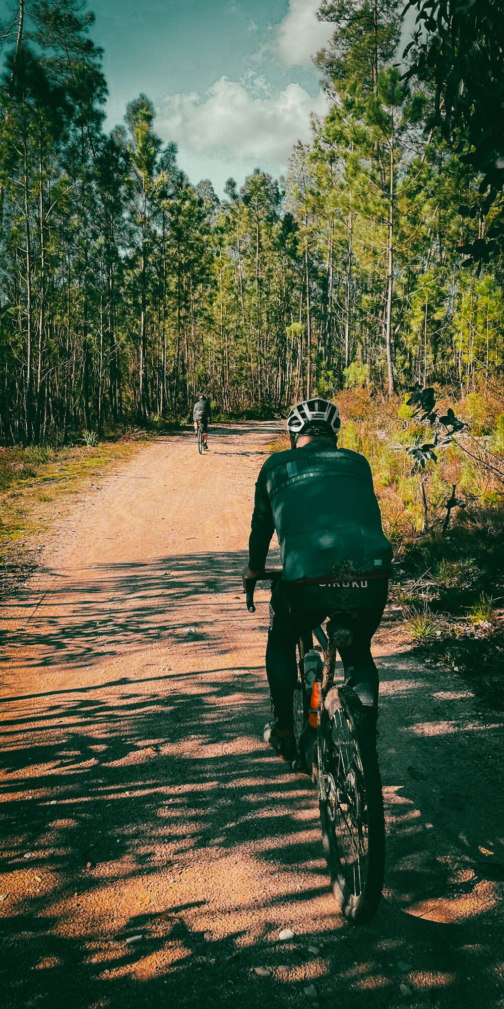
The Carmelite Route is a Way of Fatima in the territory of Central Portugal, between Coimbra and the Sanctuary of Fatima. This thematic itinerary is inspired by the life and work of Sister Lúcia, one of the three children seers of Fatima, who in 1947 joined the Carmel of Santa Teresa in Coimbra and lived here until her death in 2005. The route begins at the Carmel of Santa Teresa, next to Sister Lúcia's memorial. It has 111 km, along many pedestrian paths, where nature is beautiful and life is quiet.

Parcours
Coïmbre
(27 m)
Ville
0,9 km
Capela de São Lourenço
(106 m)
Lieu de culte
11,6 km
Capela de São José
(255 m)
Lieu de culte
45,2 km
Capela Senhora do Pranto
(346 m)
Lieu de culte
55,8 km
Capela de Nossa Senhora da Graça
(157 m)
Lieu de culte
67,0 km
Igreja de Seiça
(123 m)
Lieu de culte
90,6 km
Igreja Matriz de Fátima
(357 m)
Lieu de culte
110,0 km
Parcours
Carte
" The Carmelitas track " Portugal
difficile
VTT
111,37 km
Baixa
(22 m)
Quartier
0,9 km
Coïmbre
(27 m)
Ville
0,9 km
São Bartolomeu
(25 m)
Quartier de la ville
1,0 km
Capela de Nossa Senhora da Conceição
(37 m)
Lieu de culte
2,4 km
Santa Clara
(97 m)
Quartier
2,5 km
Capelinha do Senhor dos Aflitos
(158 m)
Lieu de culte
5,8 km
Cruz dos Morouços
(179 m)
Lotissement
6,0 km
Antanhol
(107 m)
Village
8,1 km
Adro Velho
(107 m)
Lotissement
8,2 km
O Magriço
(105 m)
Restaurant
8,4 km
Venda do Cego
(125 m)
Lotissement
9,6 km
Picoto
(136 m)
Lotissement
9,9 km
Malga
(106 m)
Lotissement
10,2 km
Lameira
(108 m)
Lotissement
11,1 km
Cernache
(105 m)
Village
11,5 km
Capela de São Lourenço
(106 m)
Lieu de culte
11,6 km
Casconha
(105 m)
Lotissement
12,5 km
Urbanização Quinta da Nogueira
(71 m)
Quartier de la ville
15,5 km
Condeixa-a-Nova
(90 m)
Ville
16,5 km
Condeixa-a-Velha
(114 m)
Village
18,0 km
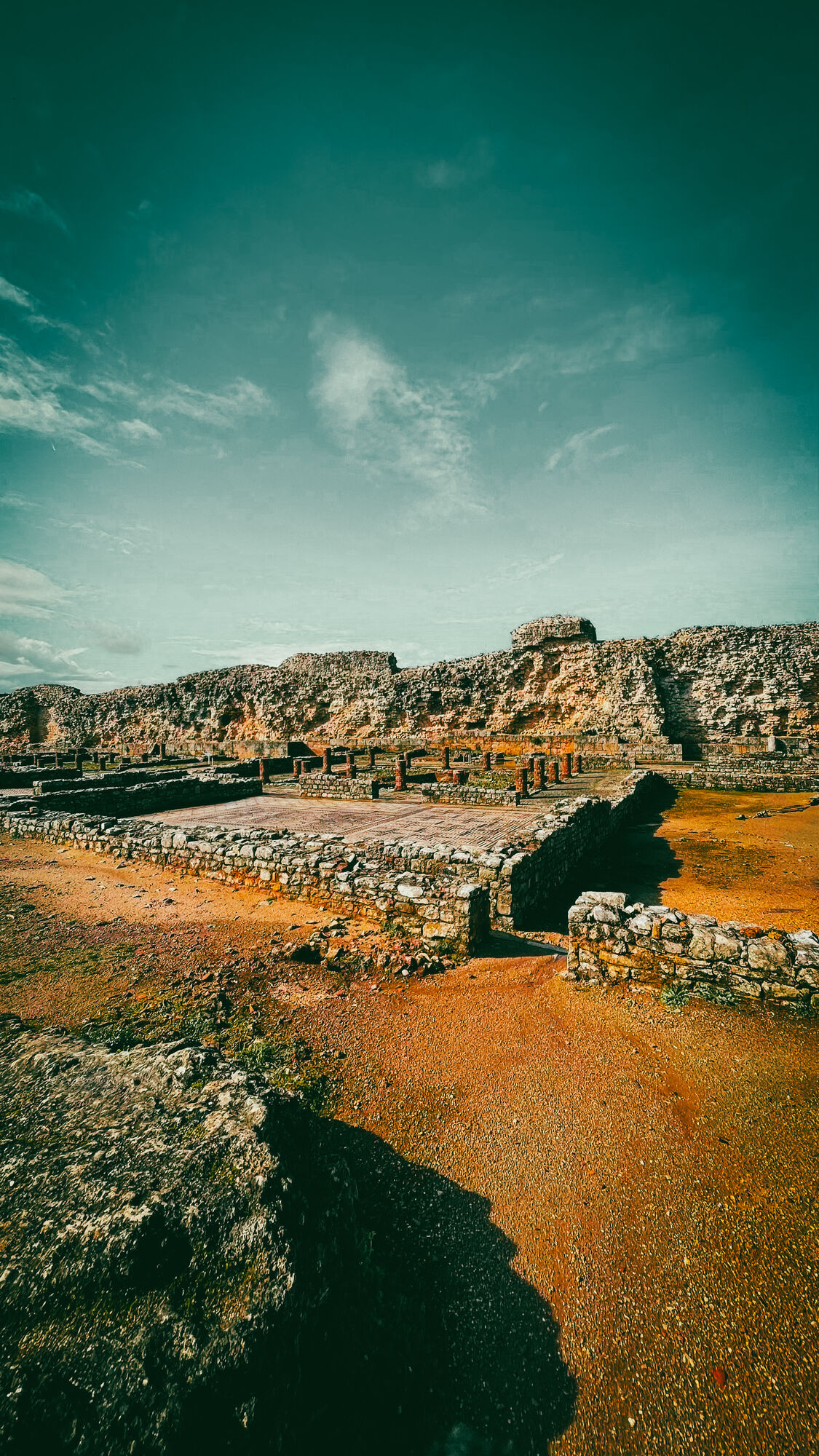
Conímbriga
(110 m)
Couloir/terrain
18,7 km
Poço
(135 m)
Lotissement
22,2 km
Fonte Coberta
(149 m)
Lotissement
23,9 km
Zambujal
(175 m)
Village
26,2 km
Igreja de Nossa Senhora da Conceição
(177 m)
Lieu de culte
26,2 km
Rabaçal
(178 m)
Village
29,9 km
O Canthino de Clotilde
(178 m)
Restaurant
29,9 km
O Bonito
(186 m)
Restaurant
30,2 km
Ribeira de Alcalamouque
(198 m)
Lotissement
34,0 km
Alvorge
(293 m)
Village
38,8 km
Costas do Adro
(230 m)
Couloir/terrain
39,2 km
O Barrocas
(241 m)
Restaurant
39,6 km
Junqueira
(257 m)
Lotissement
40,7 km
Casais da Granja
(266 m)
Lotissement
42,2 km
Venda do Brasil
(281 m)
Lotissement
42,8 km
Capela de São José
(255 m)
Lieu de culte
45,2 km
Netos
(253 m)
Lotissement
45,2 km
Areosa
(231 m)
Lotissement
46,8 km
Bate Água
(217 m)
Lotissement
47,0 km
Fonte Santa
(228 m)
Lotissement
47,2 km
Além da Ponte
(193 m)
Lotissement
48,7 km
Ansião
(207 m)
Ville
49,3 km
Igreja Matriz de Ansião
(207 m)
Lieu de culte
49,4 km
Empeados
(287 m)
Lotissement
51,4 km
Casal do Soeiro
(354 m)
Lotissement
52,9 km
Venda do Negro
(344 m)
Lotissement
55,7 km
Capela Senhora do Pranto
(346 m)
Lieu de culte
55,8 km
Ariques
(302 m)
Lotissement
56,8 km
Capela São Tiago
(304 m)
Lieu de culte
56,8 km
Santiago dos Ariques
(291 m)
Lotissement
57,2 km
Capela de São Tiago dos Ariques
(294 m)
Lieu de culte
57,3 km
Vale da Couda
(259 m)
Lotissement
59,5 km
Bofinho
(209 m)
Lotissement
63,1 km
Capela de Nossa Senhora da Graça
(157 m)
Lieu de culte
67,0 km
Banhosa
(147 m)
Lotissement
67,1 km
Aldeia da Serra
(135 m)
Lotissement
70,1 km
Pelmá
(136 m)
Village
71,6 km
Igreja Matriz de Freixianda
(115 m)
Lieu de culte
73,4 km
Freixianda
(114 m)
Ville
73,8 km
Igreja Paroquail de RIo de Couros
(133 m)
Lieu de culte
78,9 km
Rio de Couros
(105 m)
Village
79,1 km
Salão Marques
(107 m)
Restaurant
79,3 km
Andrés
(121 m)
Lotissement
82,1 km
Pisão de Oleiro
(117 m)
Lotissement
83,1 km
Cogominho
(139 m)
Lotissement
86,2 km
Quinta de Seiça
(120 m)
Couloir/terrain
90,2 km
Seiça
(116 m)
Village
90,4 km
Igreja de Seiça
(123 m)
Lieu de culte
90,6 km
Taberna dos Sabores
(115 m)
Restaurant
90,7 km
Tarasca
(175 m)
Couloir/terrain
93,4 km
Ourém
(161 m)
Ville
98,3 km
Beltroa
(163 m)
Lotissement
100,5 km
Lagar do Sanches
(159 m)
Couloir/terrain
101,9 km
São Sebastião
(162 m)
Lotissement
102,2 km
Chico de Stº Amaro
(164 m)
Restaurant
102,3 km
Zambujal
(188 m)
Lotissement
103,2 km
Vale da Perra
(282 m)
Lotissement
104,6 km
Alveijar
(232 m)
Lotissement
106,1 km
Casal de Santa Maria
(247 m)
Lotissement
107,0 km
Igreja Matriz de Fátima
(357 m)
Lieu de culte
110,0 km
Tia Alice
(354 m)
Restaurant
110,1 km
Mesa Boémia
(352 m)
Restaurant
110,2 km
Fátima
(349 m)
Ville
111,4 km
Infos sur la visite

The Carmelite Route is a Way of Fatima in the territory of Central Portugal, between Coimbra and the Sanctuary of Fatima. This thematic itinerary is inspired by the life and work of Sister Lúcia, one of the three children seers of Fatima, who in 1947 joined the Carmel of Santa Teresa in Coimbra and lived here until her death in 2005. The route begins at the Carmel of Santa Teresa, next to Sister Lúcia's memorial. It has 111 km, along many pedestrian paths, where nature is beautiful and life is quiet.

Technique
5 / 6
Endurance
5 / 6
Paysage
5 / 6
Expérience
n.d.
Meilleure période de l'année
Jan
Fév
Mar
Avr
Mai
Jun
Jul
Aoû
Sep
Oct
Nov
Déc
Auteur
Fourni par Neno
Créé le 23. février 2025
320 Vues
Logo
Partager la visite
Carte
" The Carmelitas track " Portugal
difficile
VTT
111,37 km
Erreur
Une erreur s'est produite. Veuillez réessayer.
Randonnée et suivi

Randonnée et suivi

télécharger pour iOStélécharger pour Android
Randonnée et suivi
Plus de 550.000 propositions de circuits, des cartes détaillées et un planificateur d'itinéraire intuitif font de cette application un must pour tous les passionnés de nature.
bergfex