Dates des itinéraires
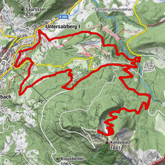
9,68km
471
- 1.261m
745hm
23hm
01:45h
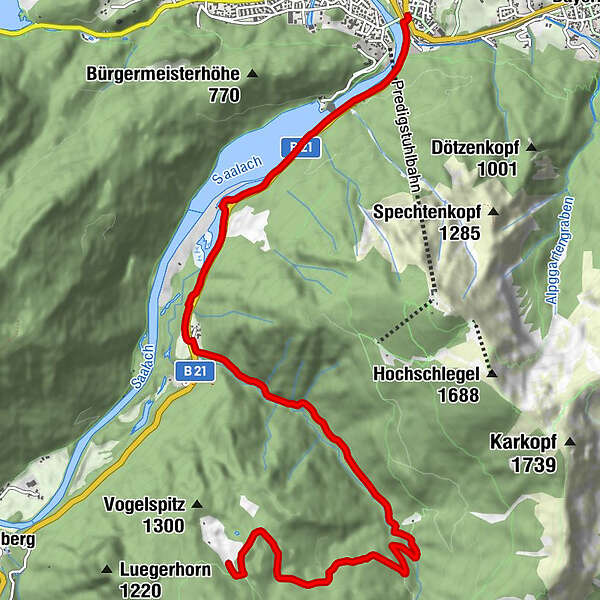
- Difficulté
-
moyen
- Évaluation
-
- Point de départ
-
Wegezentrum 5: Kirchberger Bahnhof/Lattengebirge; Anton-Winkler-Straße nähe Nikolaikirche
- Parcours
-
Bad Reichenhall (473 m)
- Meilleure saison
-
janv.févr.marsavrilmaijuinjuil.aoûtsept.oct.nov.déc.
- Hauteur maximale
- 1.261 m

GPS Downloads


Circuits
Asphalte
(10%)
Gravier
(80%)
Forêt
Sentiers de montagne
Sentiers singletrail
Trial
Circulation
(10%)
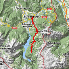
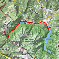
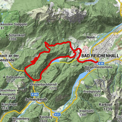
Autres parcours dans les régions
-
Berchtesgadener Land
267
-
Bad Reichenhall
115