


Coldai
Photos de nos utilisateurs
-
 © Michele VianelloCréé le 09.08.2025
 -
 © Michele VianelloCréé le 09.08.2025
 -
 © Michele VianelloCréé le 09.08.2025
 -
 © Michele VianelloCréé le 09.08.2025
 -

 © Levente NémethCréé le 07.07.2023
 -
 © Cristian Mario RotaCréé le 20.03.2025
 -
 © Cristian Mario RotaCréé le 20.03.2025
 -
 © Cristian Mario RotaCréé le 20.03.2025


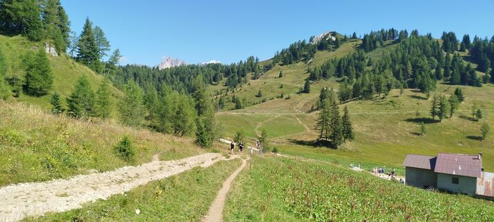
From the parking at Piani di Pezze’ (1500 m) following the indication of the path 564 and later a gravel road along the ski slopes until you reach a cross-section where you take the right towards Malga...
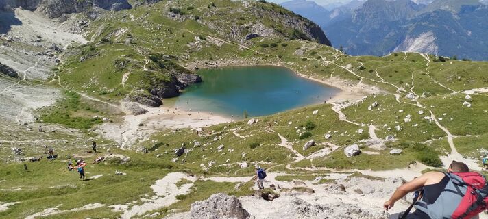
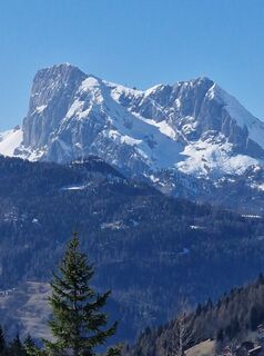
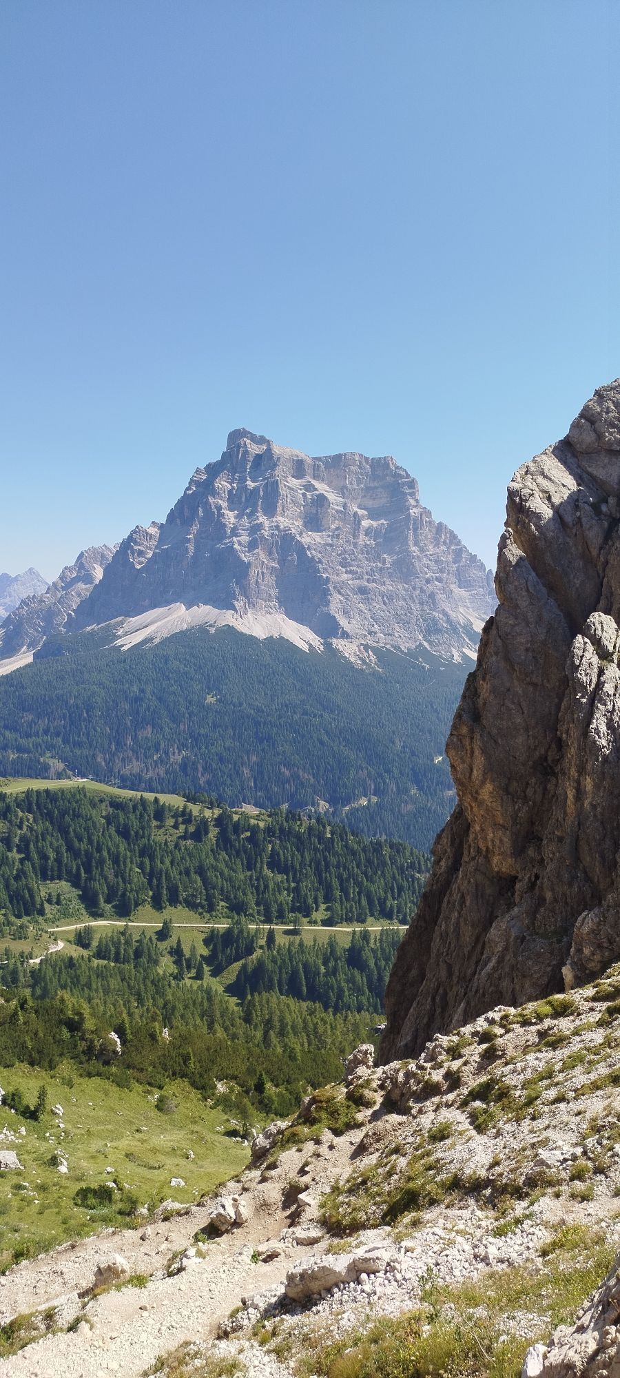
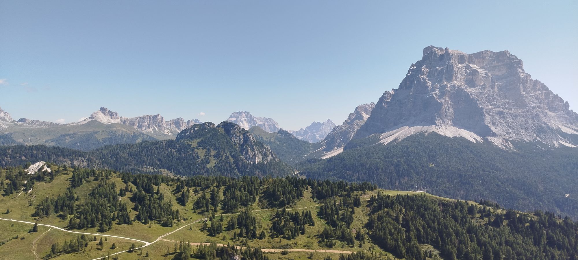
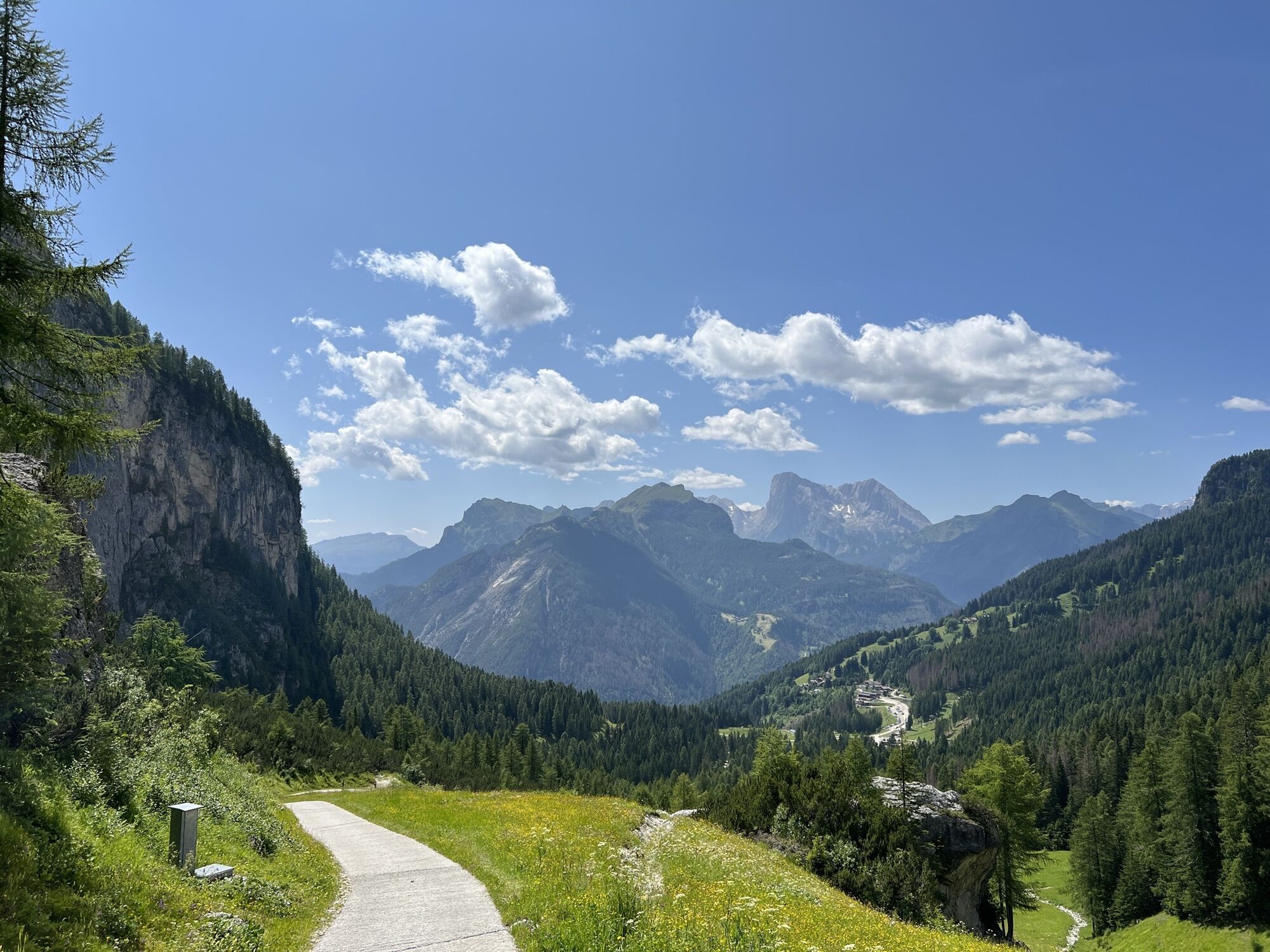
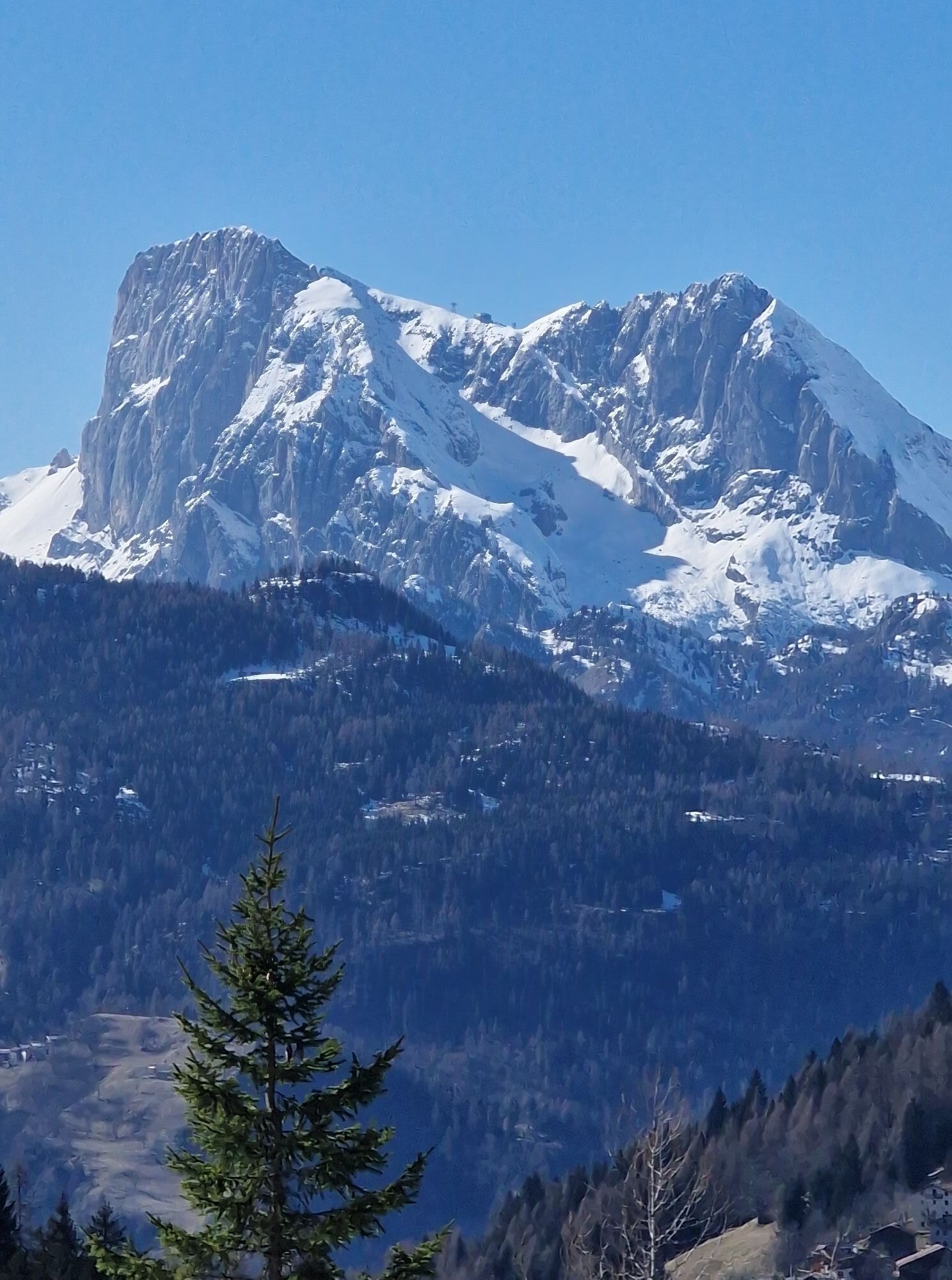
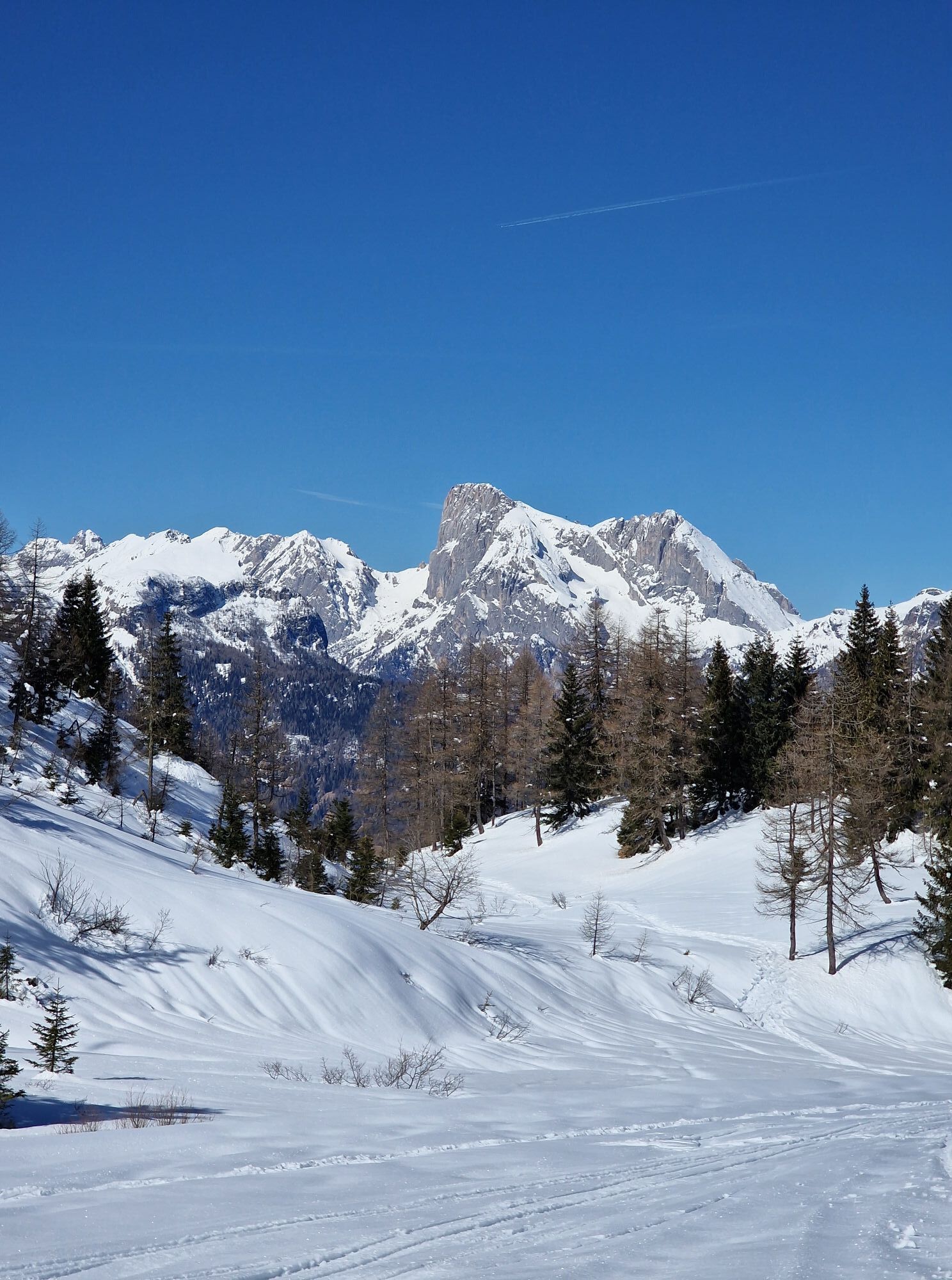
From the parking at Piani di Pezze’ (1500 m) following the indication of the path 564 and later a gravel road along the ski slopes until you reach a cross-section where you take the right towards Malga Pioda (1816m). From here take the right indicated as Number 556 uphill until you reach the rifugio Sonnino al Coldai. Follow the path onwards to Lago di Coldai (2140m). Same way on the way back. Enjoy the 360 degree view on Pelmo, Marmolada, Civetta and others.


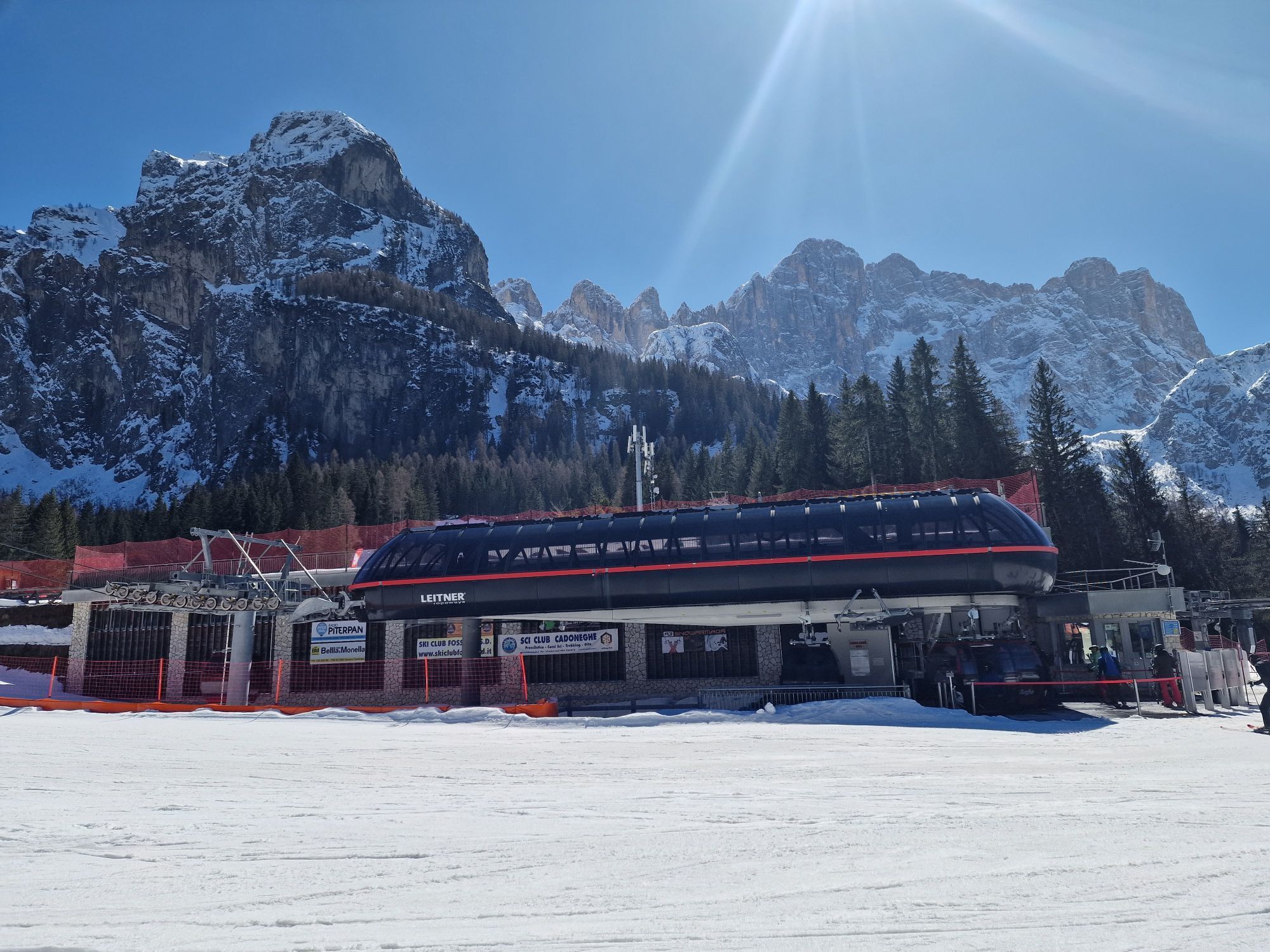
From Alleghe a small road leads up to Piani di Pezze’ parking. Alternatively you can take the cabin way from Alleghe and hike from the station at Piani di Pezze. Ig you want a shorter trip, take the second cabin up to Col dei Baldi and reach the gravel road at the cross-section indicated above.
Piani di Pezze’
Webcams de la tournée
-
Zoldo Alto - Pecol
-
Santa Fosca - Campo Scuola
-
Alleghe - Civetta
-
Alleghe
-
Col dei Baldi
-
Monte Fertazza
-
Val di Zoldo - Pista Cristelin
-
Zoldo - Pian del Crep
-
Zoldo - pista Grava
-
Alleghe - Piani di Pezze
-
Palafavera - Val di Zoldo
-
Zoldo - Pian del Crep
-
Zoldo Alto
-
Selva di Cadore - Pescul
-
Zoldo Alto
-
Zoldo Alto
Activités le long du parcours


Parcours populaires à proximité
-
4,8
Passo Giau roundtrip
moyenRandonnée 8,10 km -
4,6
Parcours des Cinque Torri (refuges Averau, Nuvolau et Scoiattoli) depuis le Passo Giau
moyenRandonnée 10,8 km -
3,7
Tomaselli (D) mit NO Abstieg (C) + Lagazuio Tunnel (A/B)
Via ferrata 8,30 km -
5,0
Lago Federa
moyenRandonnée 14,6 km -
4,0
Ferrata brigata degli alpini - Col dei Bos
moyenVia ferrata 4,90 km -
5,0
Passo di Giau
facileVia ferrata 8,37 km -
3,0
Lieutenant Mario Fusetti Via Ferrata
moyenVia ferrata 4,22 km -
5,0
Magnifique et très variée
moyenRandonnée 12,6 km -
4,5
Giro dell'Averau
moyenRandonnée 11,1 km -
4,2
Galeries du "Lagazuoi"
moyenChemin thématique 6,18 km
Randonnée et suivi


Ne manquez pas les offres et l'inspiration pour vos prochaines vacances
Votre adresse électronique a été ajouté à la liste de diffusion.