





Monte Doc (‘Andar e tornar dal Doc’)

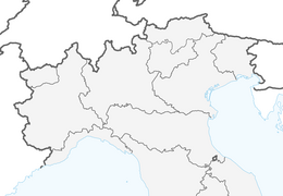
Start is in Valpiana at the end of the normal road, we’re you can park the car. Continue the dirt road on you left hand side, through the small village and beyond for about 45 min. The dirt road is usually...
Start is in Valpiana at the end of the normal road, we’re you can park the car. Continue the dirt road on you left hand side, through the small village and beyond for about 45 min. The dirt road is usually not maintained and cowered with snow.
Follow the first hairpin turn (make a right turn) which continues steeply up the mountain. After 10 min you arrive at a small mountain saddle, continue upwards on the dirt road which makes some hairpins.
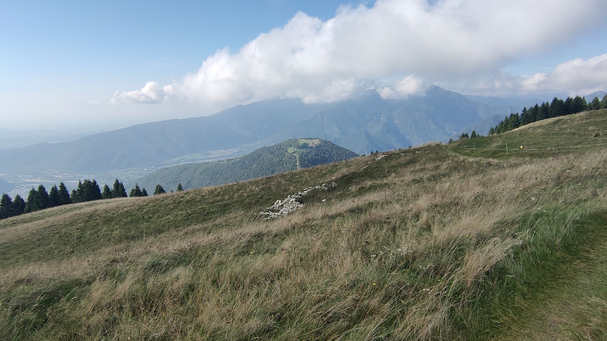
Once beyond the trees you can see the peak in the distance. Follow the ridge to the top, you will pass a small house (Malaga Doc).
At the top, pull off the skins and continue the ridge (shallowly downwards facing) for about 200m, make a right turn and enjoy the decent. Keep left towards the hairpin of the dirt road. Follow the dirt road downwards towards Milies. There are some hairpins. You will arrive back at the start.



Valpiana, Segusino
No cramp on needed
Valpiana, Milies, Segusino
No accessible via public transport
At the end of the normal road, where the dirt road begins
Webcams de la tournée
-
Monte Cesen
-
Monte Cesen
-
Monte Cesen
-
Monte Cesen
-
Monte Cesen
-
Monte Cesen
-
Monte Cesen
-
Monte Cesen
-
Monte Cesen
-
Monte Cesen
-
Monte Cesen
-
Monte Cesen
-
Monte Cesen
-
Monte Cesen
-
Monte Cesen
-
Monte Cesen
-
Monte Cesen
-
Monte Cesen
-
Monte Cesen
-
Monte Cesen
-
Monte Cesen
-
Monte Cesen
-
Monte Cesen
-
Monte Cesen
-
Monte Cesen
-
Monte Cesen
-
Monte Cesen
-
Monte Cesen

Parcours populaires à proximité
-
4,5
Santo Stefano, Venetien/Italien
facileRandonnée 11,2 km -
4,5
Ferrata Sass Brusai
moyenVia ferrata 9,26 km -
4,0
Prosecco Morgenwanderung „Uno“
facileRandonnée 6,50 km -
5,0
Anneau de la vallée de Belluna
moyenPiste cyclable longue distance 78,1 km -
Bivacco dei Loff
moyenRandonnée 7,98 km -
Grotta azzurra
facileRandonnée 2,68 km -
TRAIL E7 PREALPS
difficileChemin de Grande Randonnée 100,7 km -
2024-07-05 Passo San Boldo da Lentiai Trichiana. Ritorno da Follina Miane Valdobbiadene
facileE-Bike 75,8 km -
5,0
🌳 Les Paradis de Norcen - Entre majolique et arbres monumentaux
moyenRandonnée 9,77 km -
Radtour im Herzen des Valle Sana
facileVTT 5,87 km
Randonnée et suivi


Ne manquez pas les offres et l'inspiration pour vos prochaines vacances
Votre adresse électronique a été ajouté à la liste de diffusion.





