







The quarries that formed Trento: from Port'Aquila to Villamontagna
The itinerary connects the historic part inside the walls of Trento with the upper settlements of the eastern hill, while touching different places that are historically relevant for the formation of the...
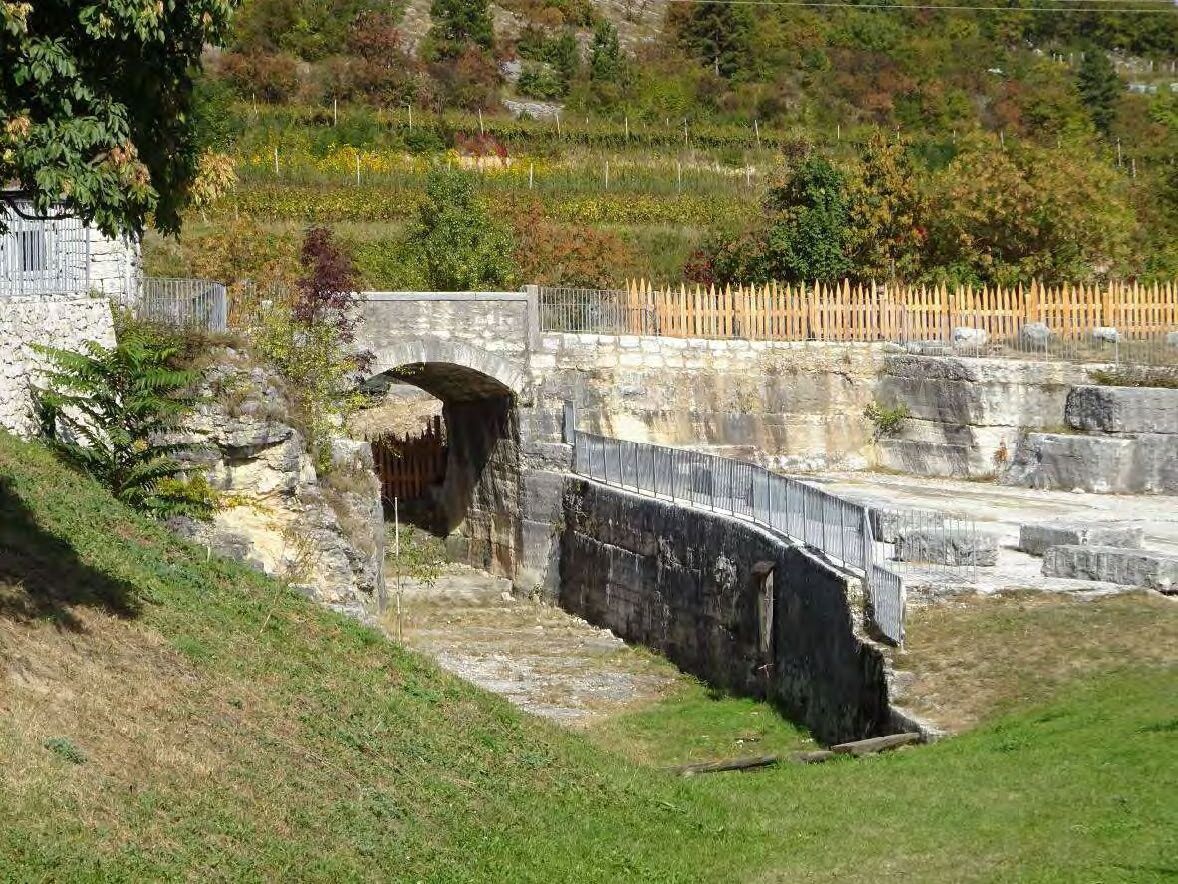
The itinerary connects the historic part inside the walls of Trento with the upper settlements of the eastern hill, while touching different places that are historically relevant for the formation of the city. As a matter of fact, on the path you can see Buonconsiglio's stone quarry (located on the back of the castle in via della Cervara), Coste's quarry (where the construction material has been extracted since the 50s) and Pila's quarries that is still being cultivated.
All of these is part of the "colonisation" history of the East hill: from the first isolated religious complexes (Capuchin and Discalced Carmelites Monastries), to the 19th - 20th century bourgeois villas, to the massive urbanisation starting from the economic boom of the 50s and 60s until now.
After leaving Port'Aquila go up to Saluga's garden, that takes its name from the river that flows in the valley after having collected Cognola's waters. The path follows the Via Crucis built by the Carmelites in the 1959, that goes on until the Shrine of the Laste with a series of niches on the walls skirting the street.
The Shrine of the Laste, which origin dates back to the beginning of the 17th century, is an interesting place. The path continues toward Coste Park that occupies the stone quarries of the "Laste delle Coste". Lava craters have been recently transformed into an urban park full of floristic and geological elements, while still keeping some remains of the old extraction activity.
The hilly itinerary, often embedded between dry stone walls and hedges, offers interesting views on the surrounding landscape that well represents the transition form the urban environment to the peri-urban agricultural areas where examples of patrician and religious architecture like the view of Toresela Seiser, the nucleus of Moià and Chiogna can be seen. To finish off the hill's landscape tour, admire the woodland at the foot of the rocky cliffs of Calmuz. It is a mixed forest with common hornbeams, ashes, manna ashes, Scots pines and other typical hill species.
After Villamontagna go to Pila's quarries, other quarry environment, partially still active and partially transformed into a park in memory of the old extraction activity.
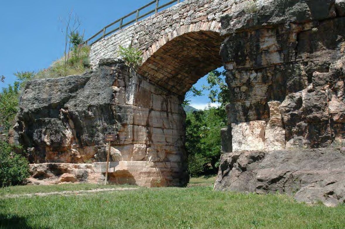
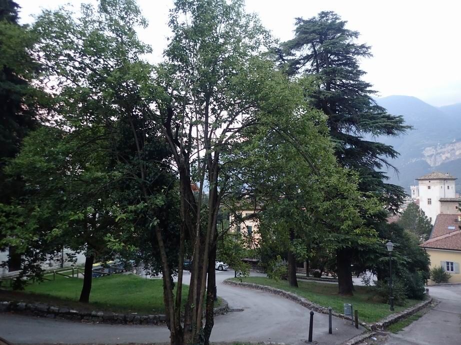
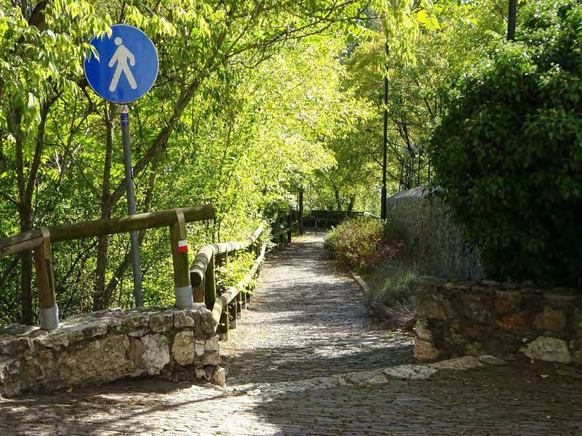
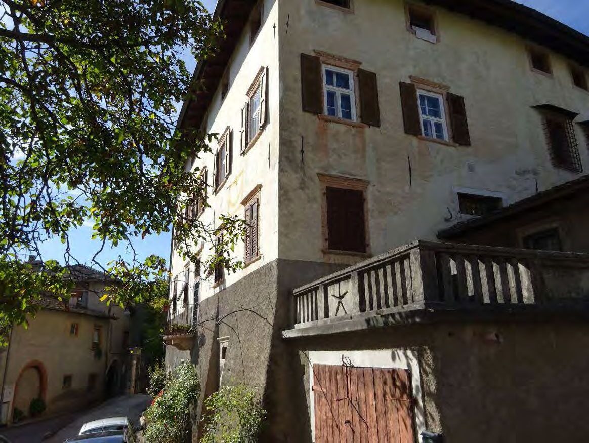

Starting from Port'Aquila go eastwards up the Saluga's ascent, then continue on via delle Laste until you reach the shrine of the same name. Take the footpath that will lead you directly to the Parco delle Coste, vast green area obtained from ancient stone quarries. At the exit walk all the way through via di Zell, that crosses the new suburb, until you reach the ancient Moià. The trail to Villamontagna continues on intermediate roads crossing via Pez and the road to Chiogna. After the little village's centre, go eastwards and take via Pilla that runs along the stone quarries to end up again on the main road.
Comfortable shoes and good company.
The information on this page is subject to change, so this means that none of the indications are absolute. It is impossible to completely avoid inaccuracies, taking into consideration the rapid environmental and weather changes that may occur. Therefore, we decline any responsibility for any damage caused to the visitor. However, it is strongly suggested to check the path state, the environmental and weather conditions before going on an excursion.
The Network of Bondone Nature Reserves is not responsible for the management and maintenance of the trails. Therefore, we decline any responsibility for damages that can occur to people, animals or objects.
Prepare your itinerary
Choose a trail suitable for your training
Choose adequate equipment
Consult weather reports
Going alone is riskier
Leave information about your itinerary and the time you expect to get back
Do not hesitate to go with an expert
Mind the indications and signages on the path
Do not hesitate to go back the same way you came
In case of an accident call the standard emergency number 112
For further information go to Trentino Trasporti S.p.A.
The trail can be done in every season; considering the sun exposure it is preferable to do it in the afternoon during cold months, while in the morning during spring and summer.
Obtenez un aperçu
Toujours en direct avec plus de 9.500 webcams. En tant qu'utilisateur Pro, vous pouvez désormais voir les webcams correspondantes à de nombreuses randonnées dans l'application de randonnées de bergfex. Vous pouvez ainsi voir directement les conditions actuelles.
Parcours populaires à proximité
-
4,6
Le canal d’eau de Calavino
moyenRandonnée 3,79 km -
3,0
Tre Cime del Bondone
moyenRandonnée 10,4 km -
4,2
Caldonazzo - Levico
moyenFaire du vélo 18,9 km -
4,4
Hotel Margherita - Visintainer - Paluda del Baruchèl - Tenna
moyenRandonnée 11,6 km -
4,5
Près de Prada et Lacs de Lamar
facileRandonnée 8,05 km -
3,0
Rad_Garda_3_Torbole_Sarca_Cavedine
moyenFaire du vélo 59,5 km -
4,4
Levico Terme - Paluda del Baruchèl - Visintainer - Pergine Valsugana
facileVTT 23,5 km -
4,7
Klettersteig Val del Ri
moyenVia ferrata 4 km -
3,7
Monte Gazza : vue sur les 4 lacs
moyenRandonnée 13,1 km -
4,3
Baselga di Piné - Marini - Ricaldo - Serraia
facileRandonnée 9,34 km

Randonnée et suivi


Ne manquez pas les offres et l'inspiration pour vos prochaines vacances
Votre adresse électronique a été ajouté à la liste de diffusion.





