






The Blue Crow
Niveau de difficulté: T1
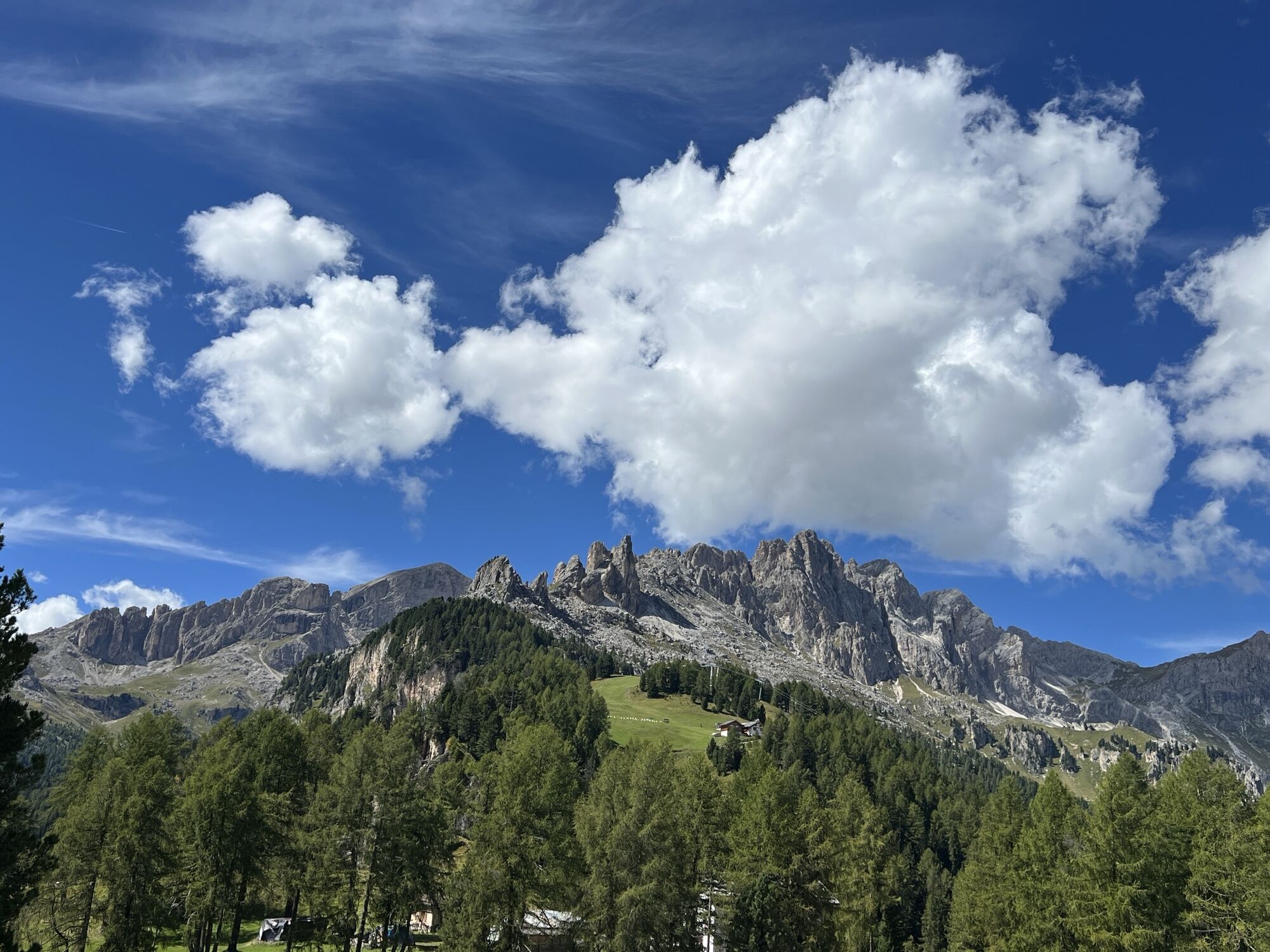
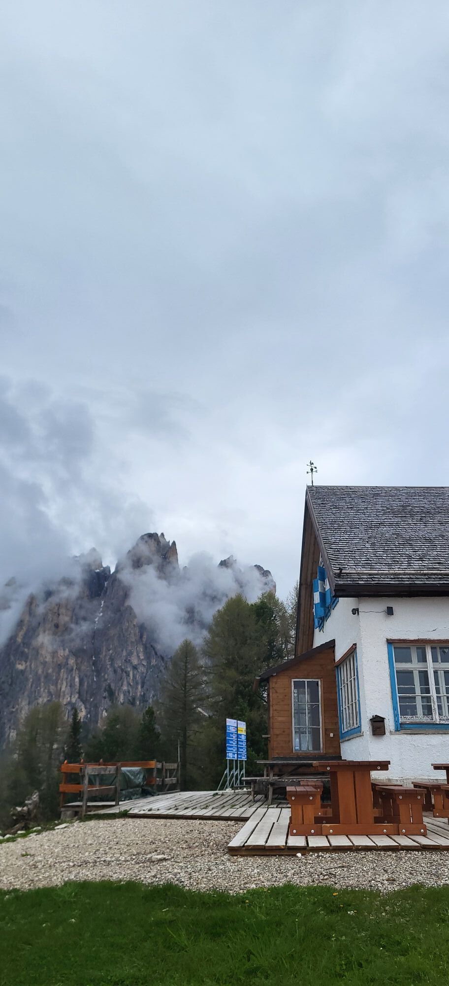
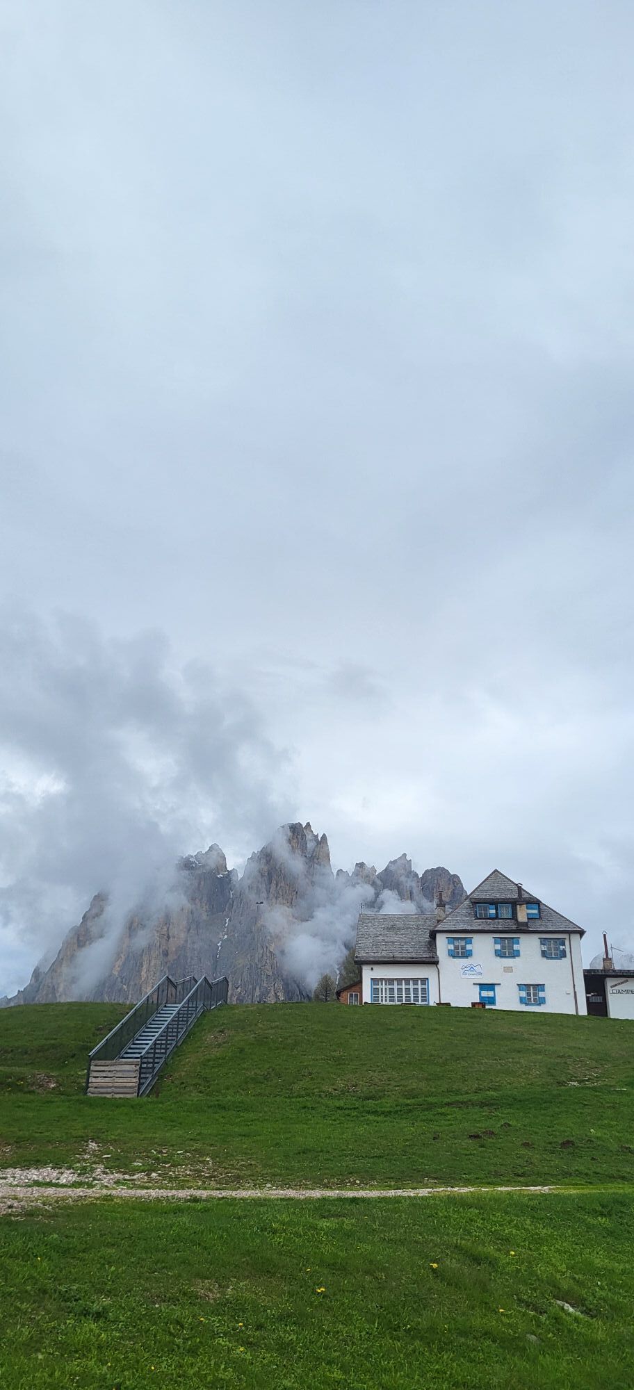
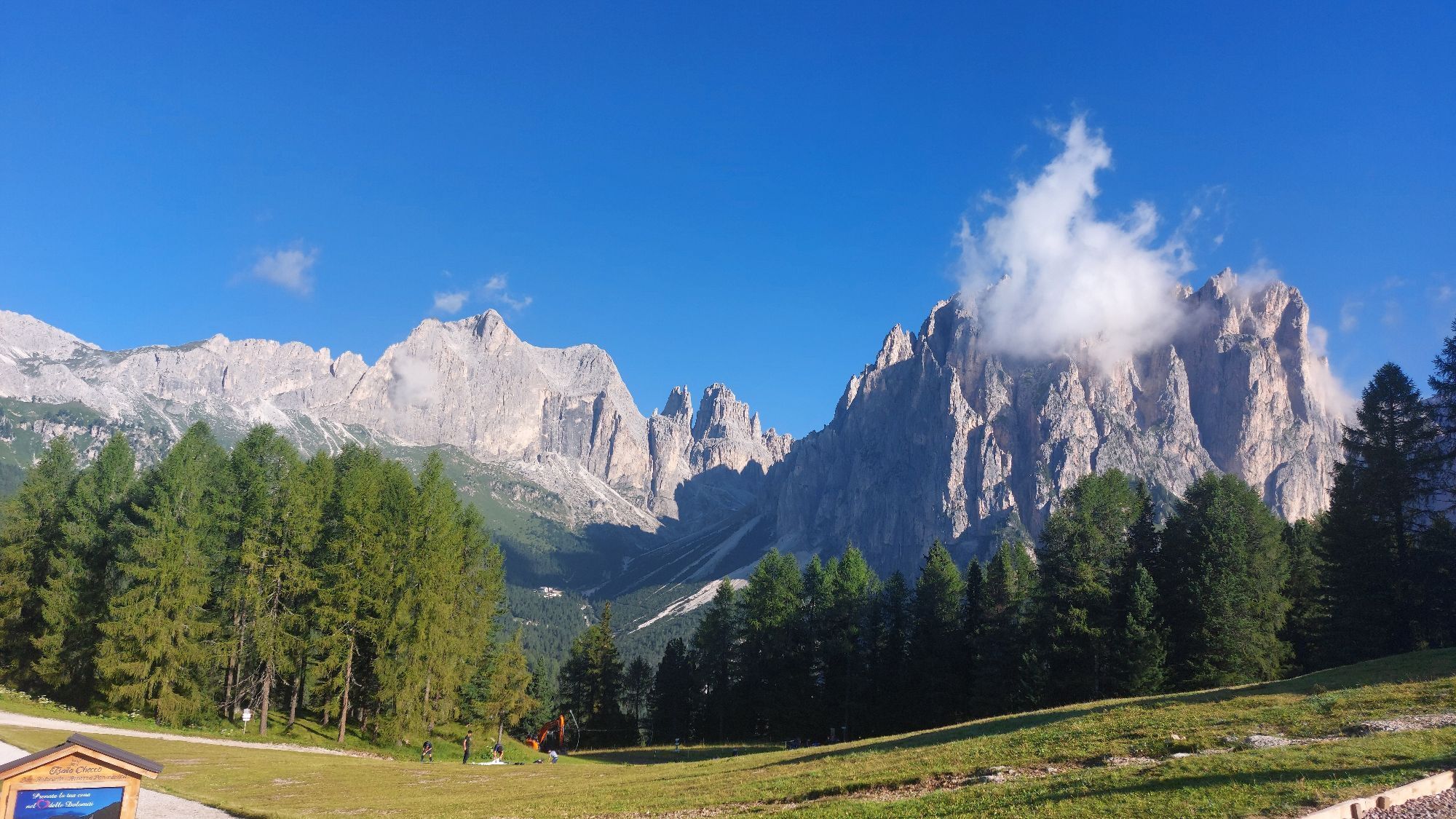
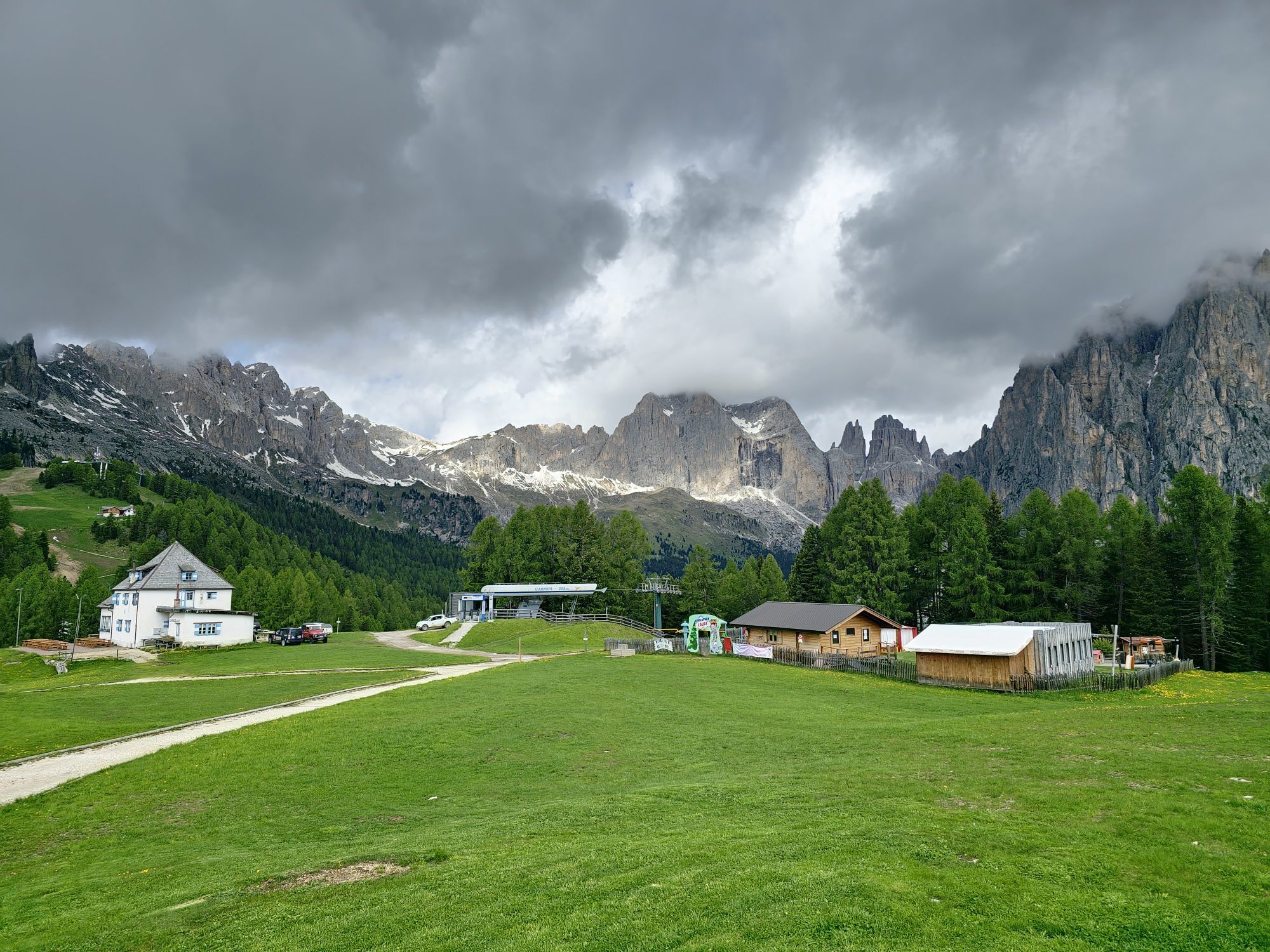
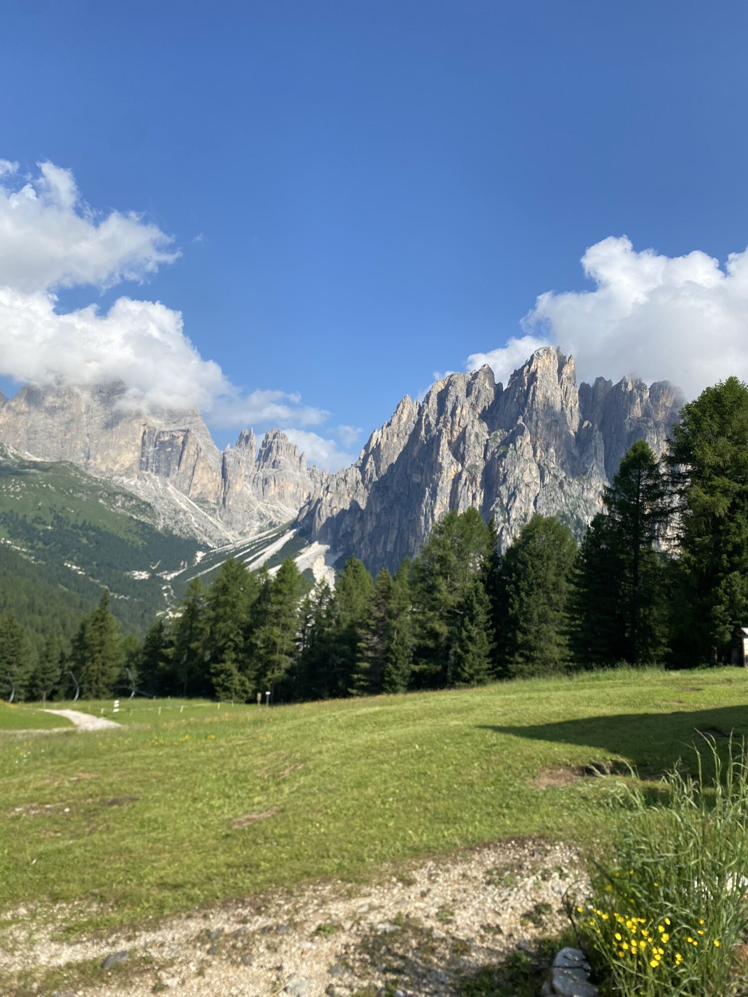
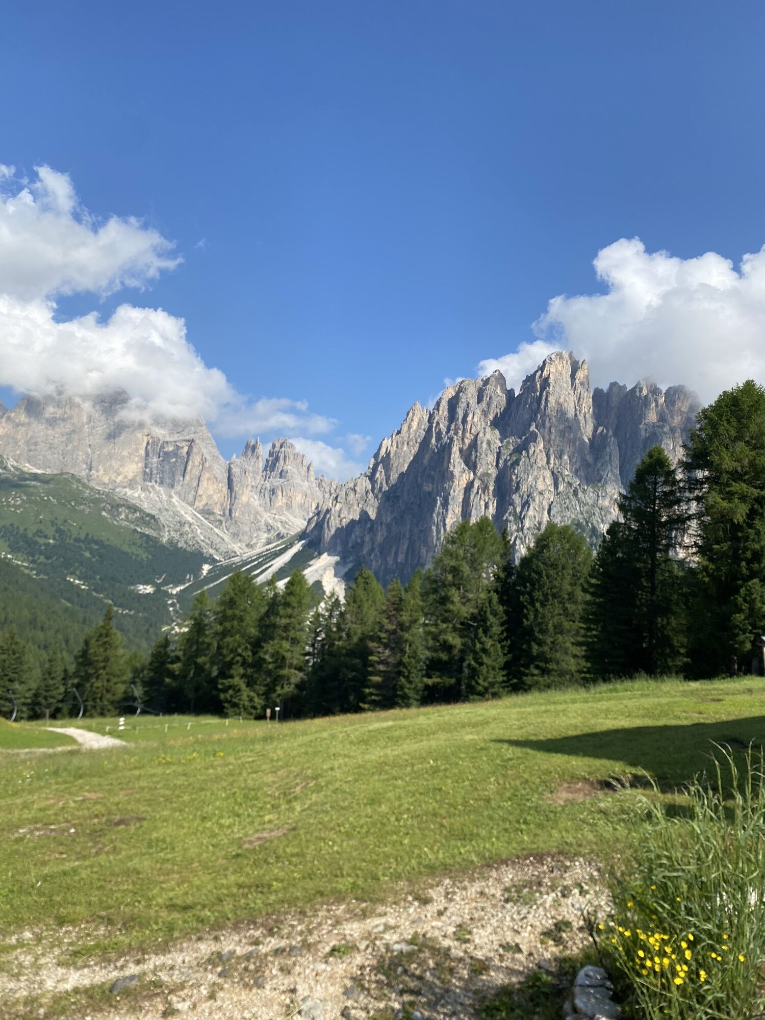
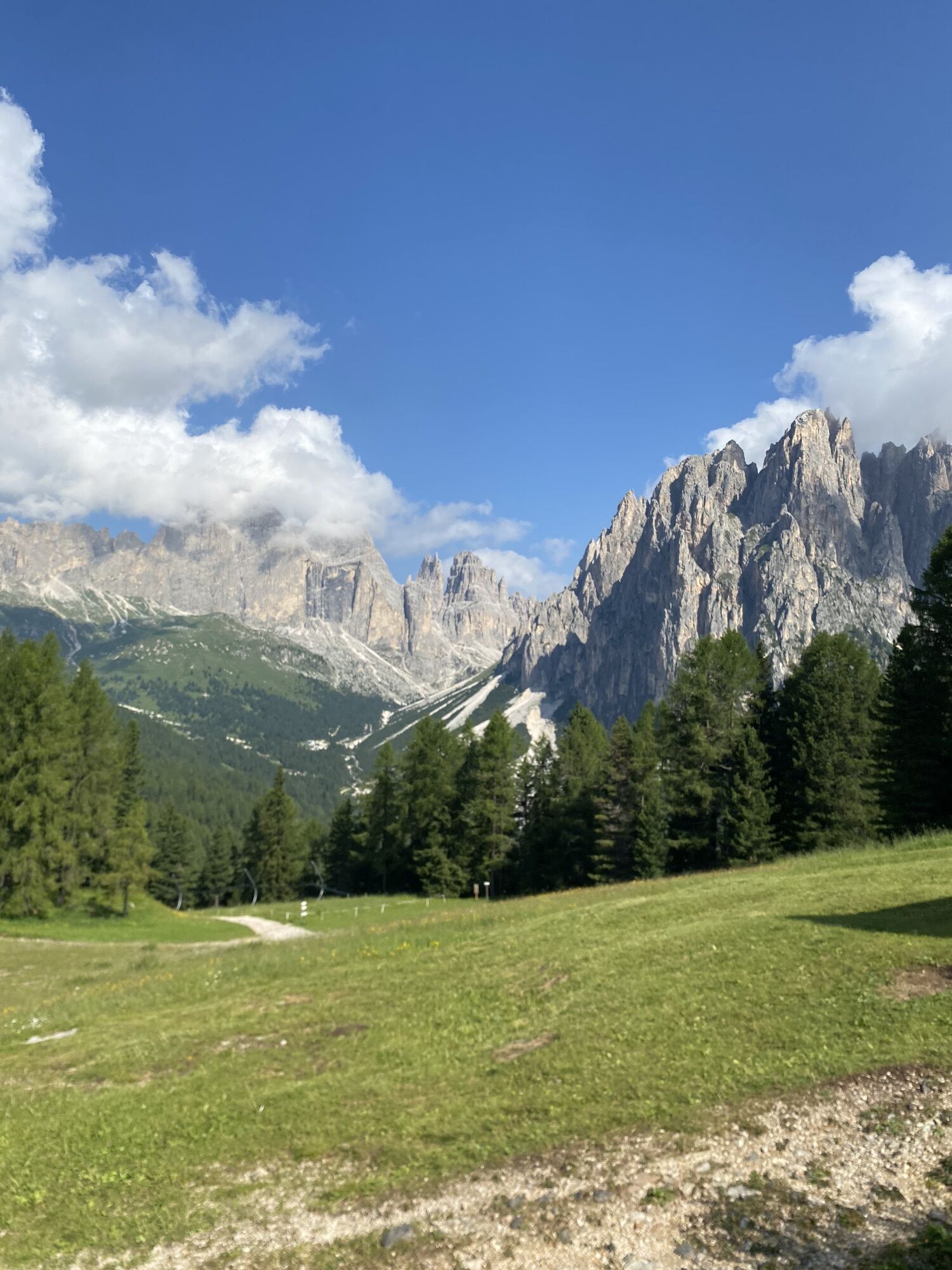
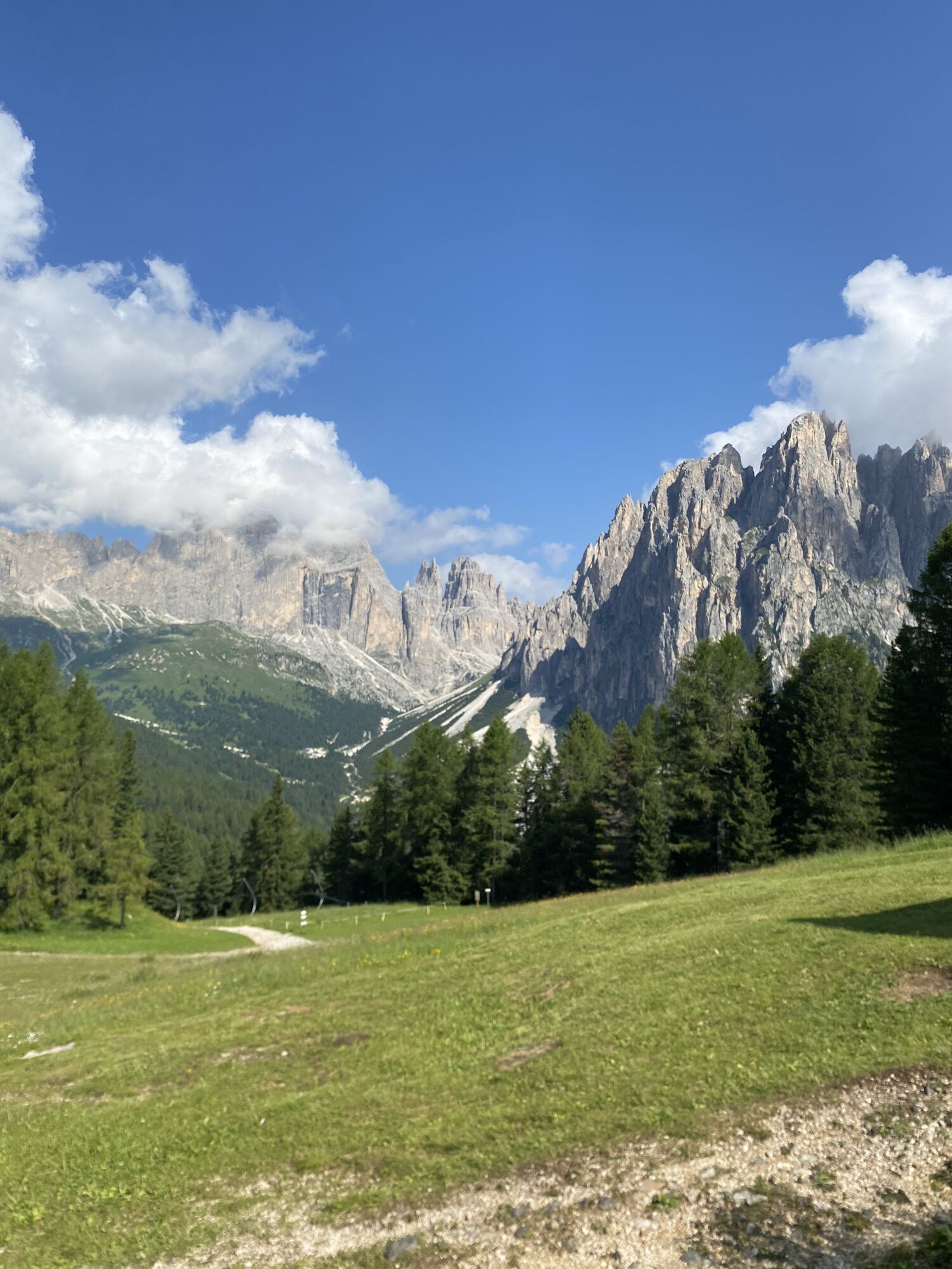

There is a magic word that once lit up the Dolomites. But the Blue Crow, ancient guardian of Ciampedie, the plateau above Vigo, has lost it and now needs help to find it again. Thus was born a themed trail...
Do you know them? Salvan, Vivana, Stria, Krampus and King Laurin. Their stories speak of mysterious forests, curses and spells handed down through the ages.
An adventure immersed in nature, where play, imagination and tradition intertwine to let the little ones hear the silent voice of the Catinaccio.


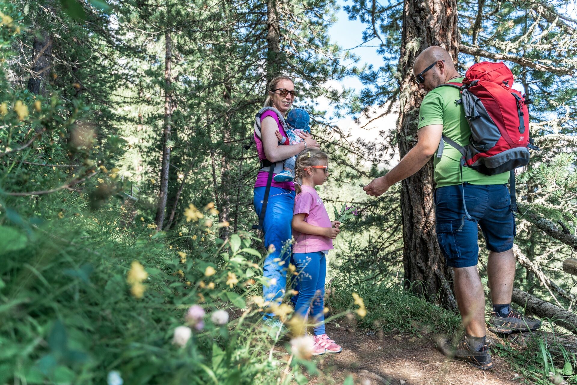
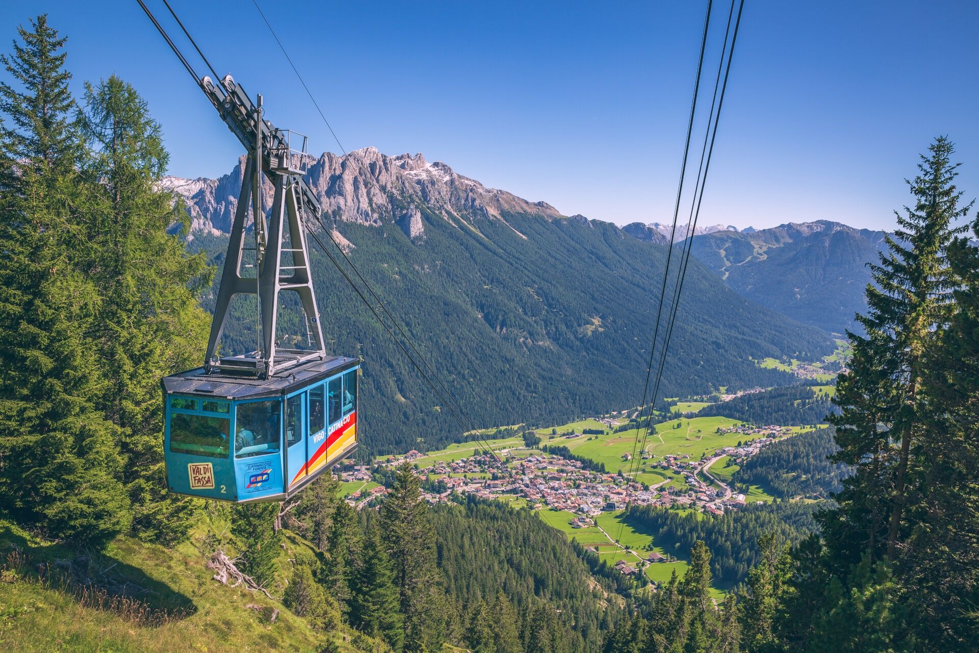
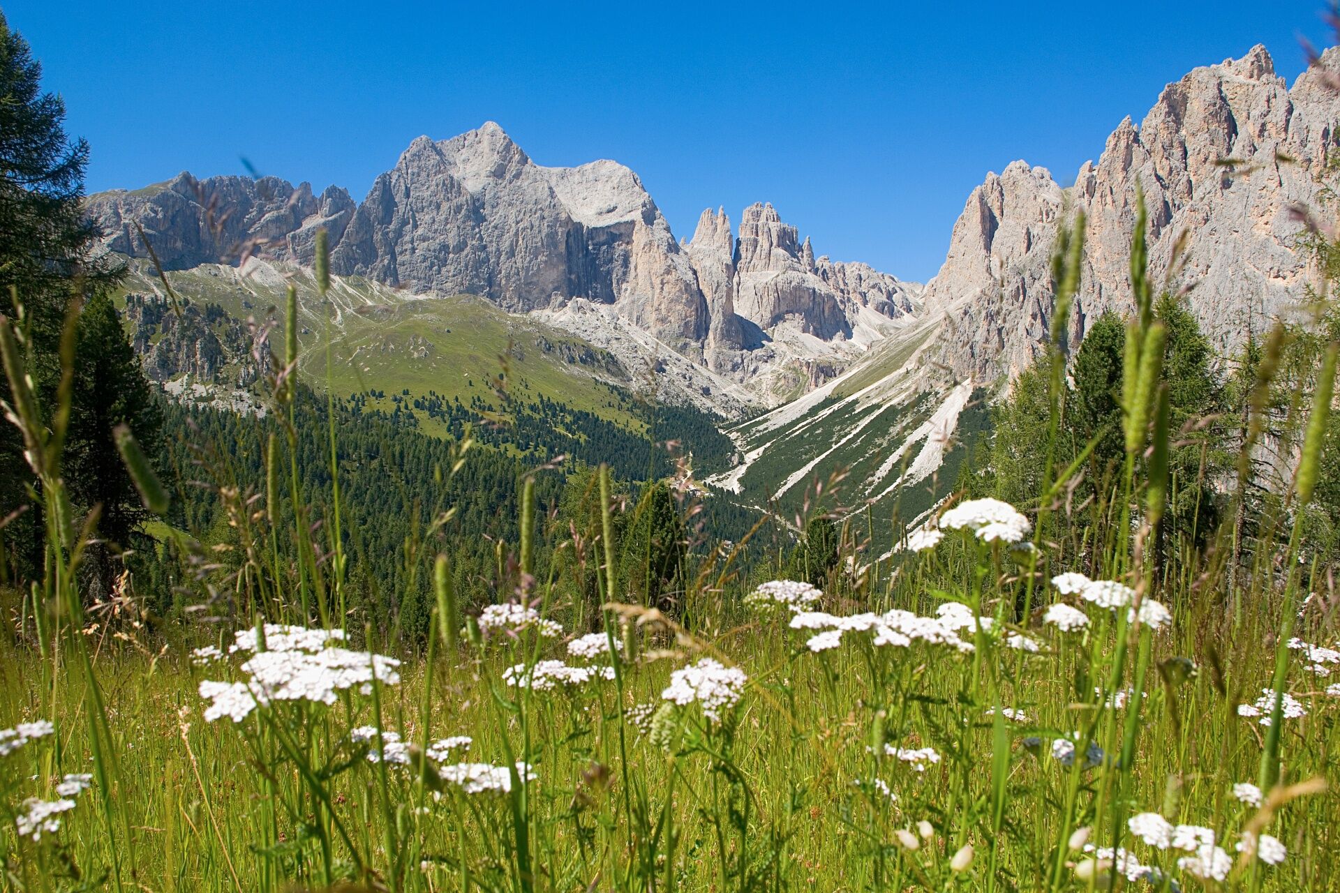
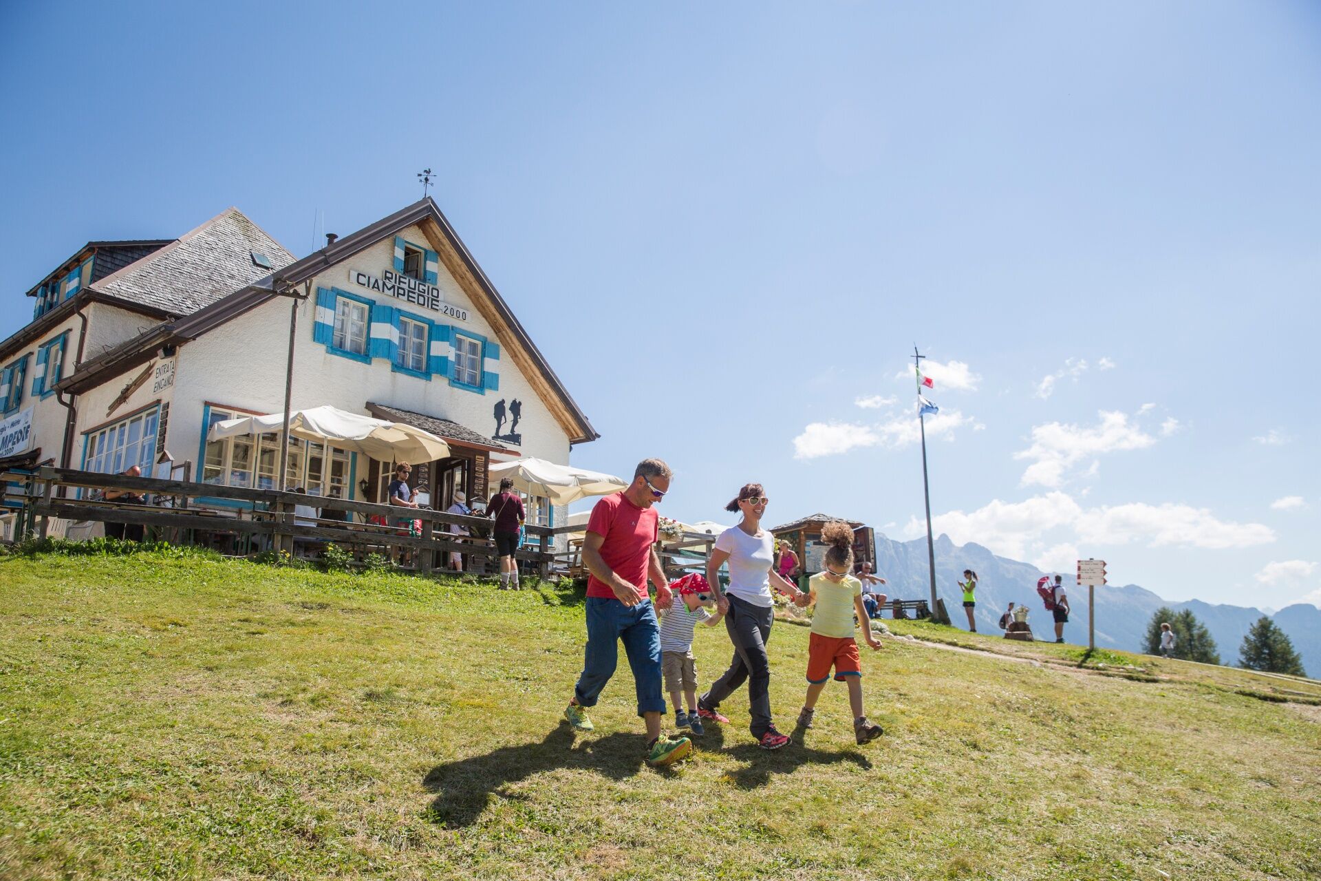
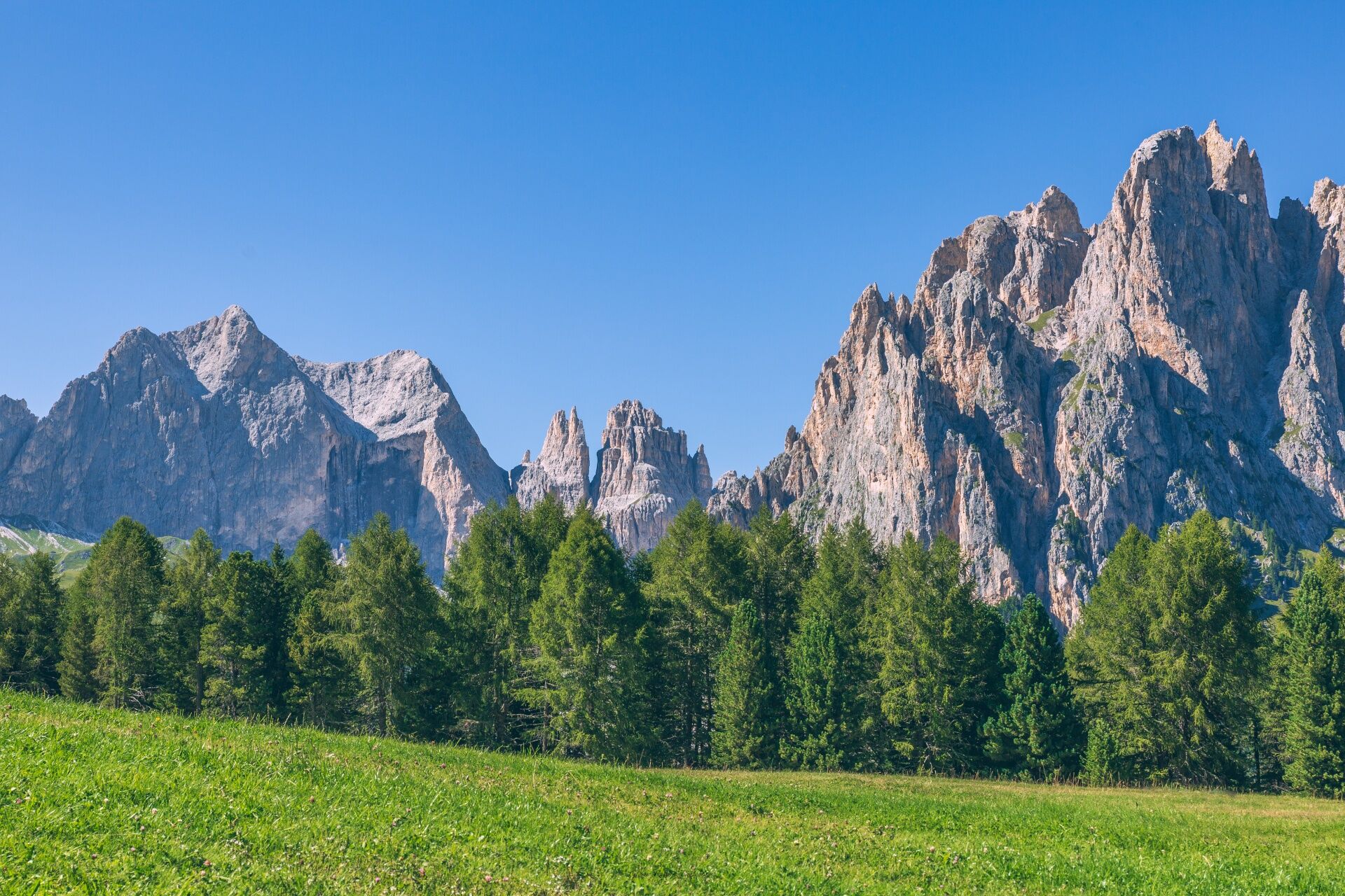
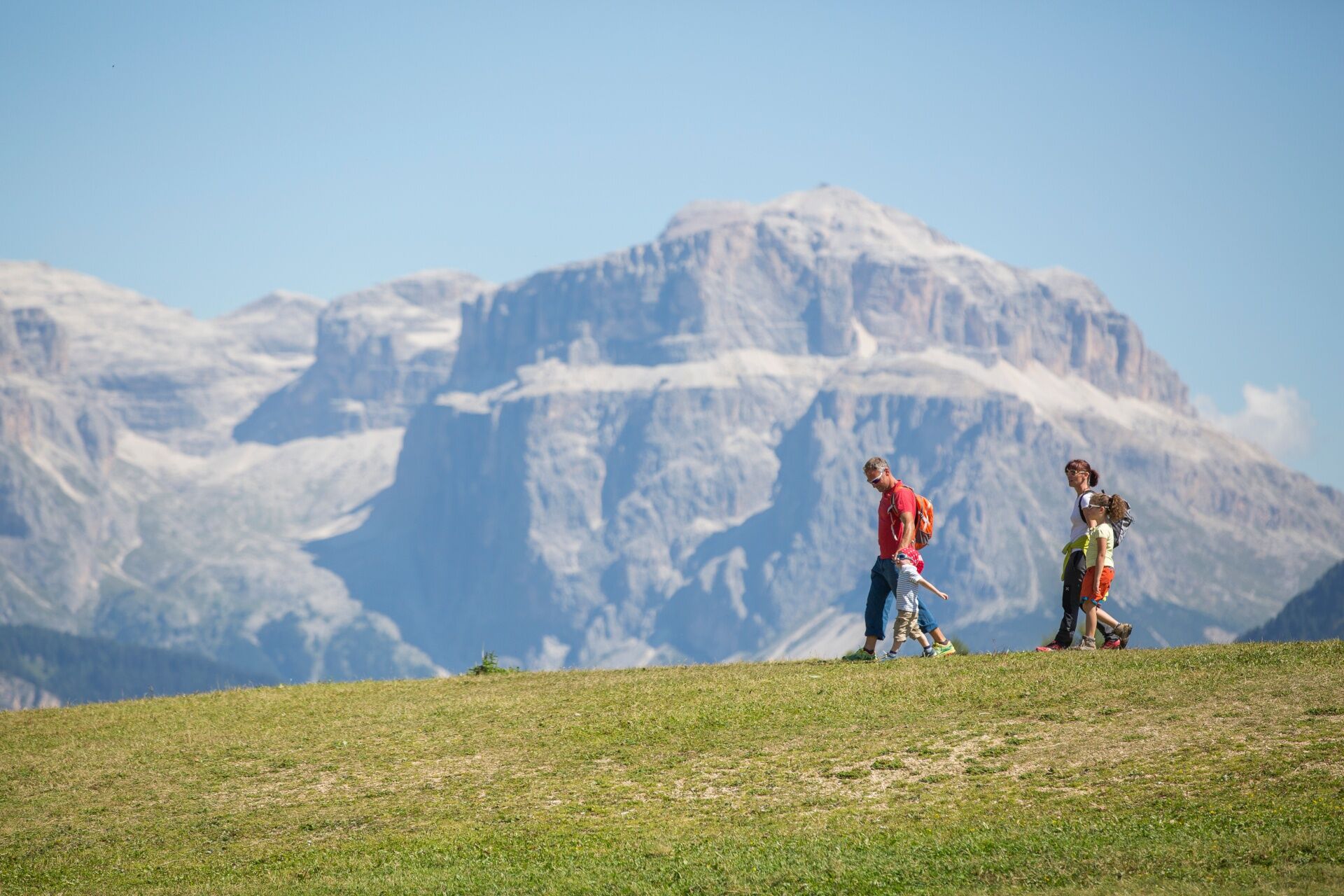
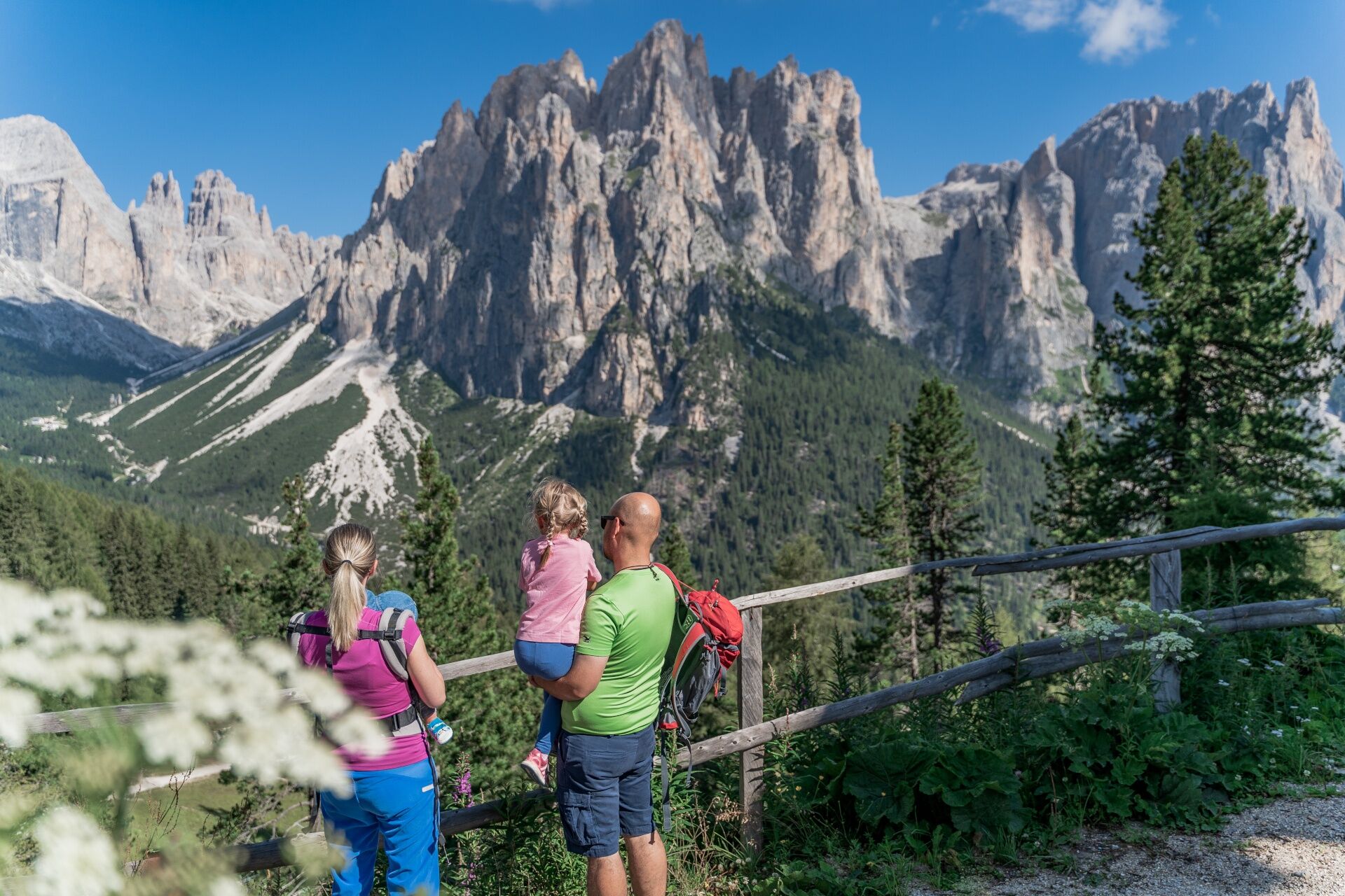
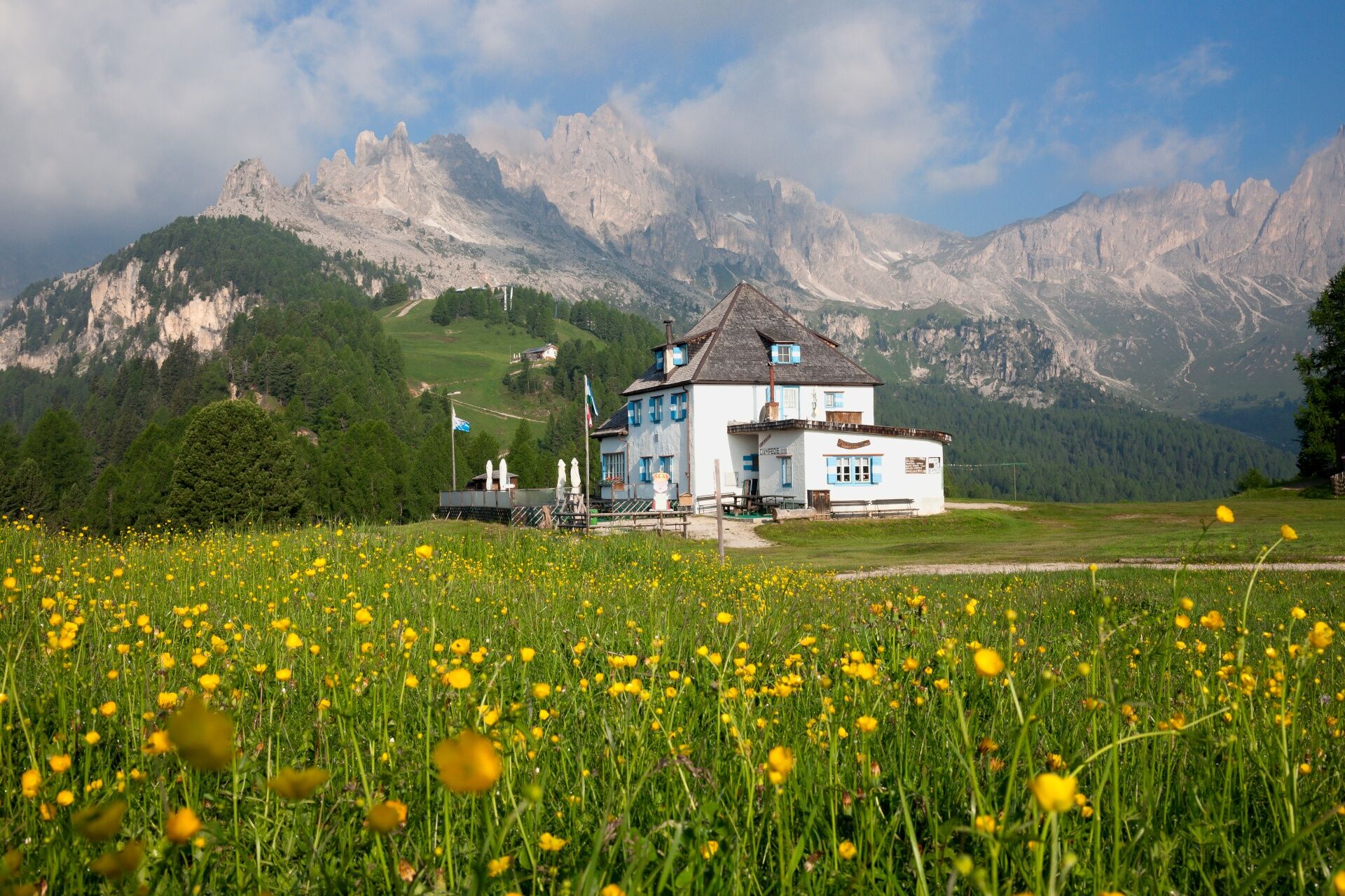
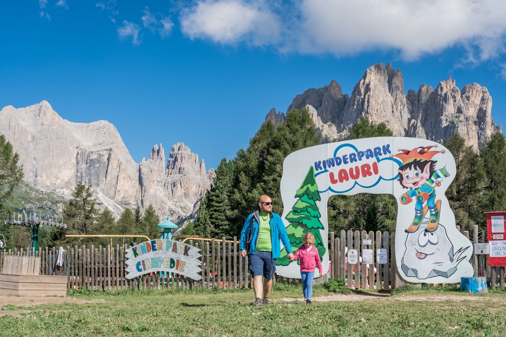
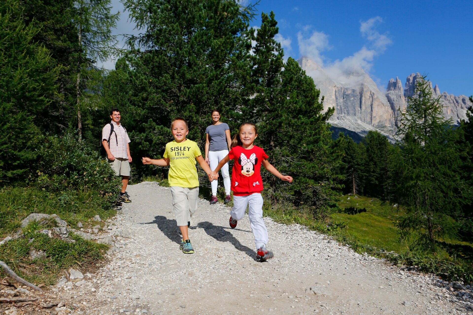
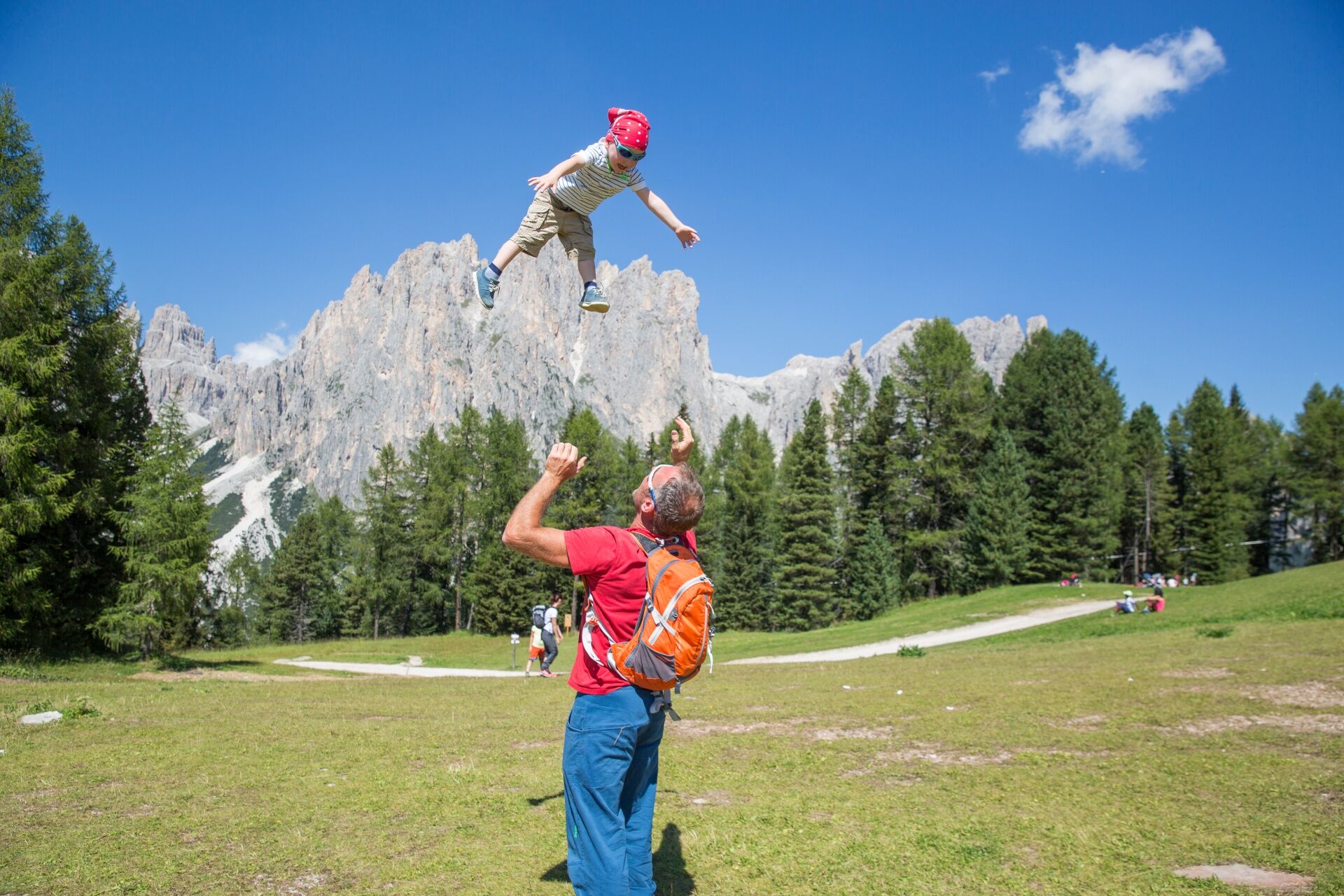
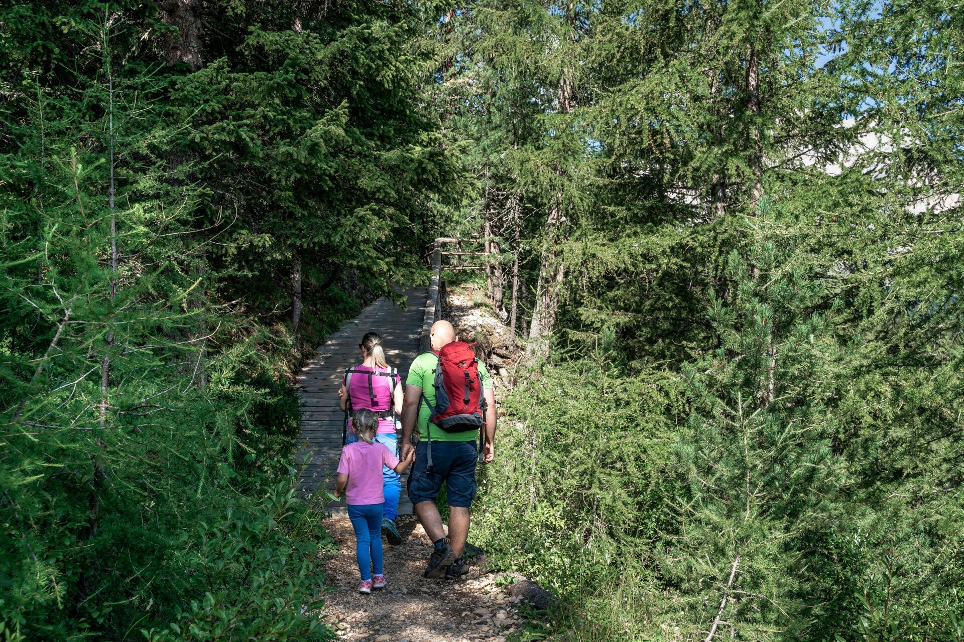
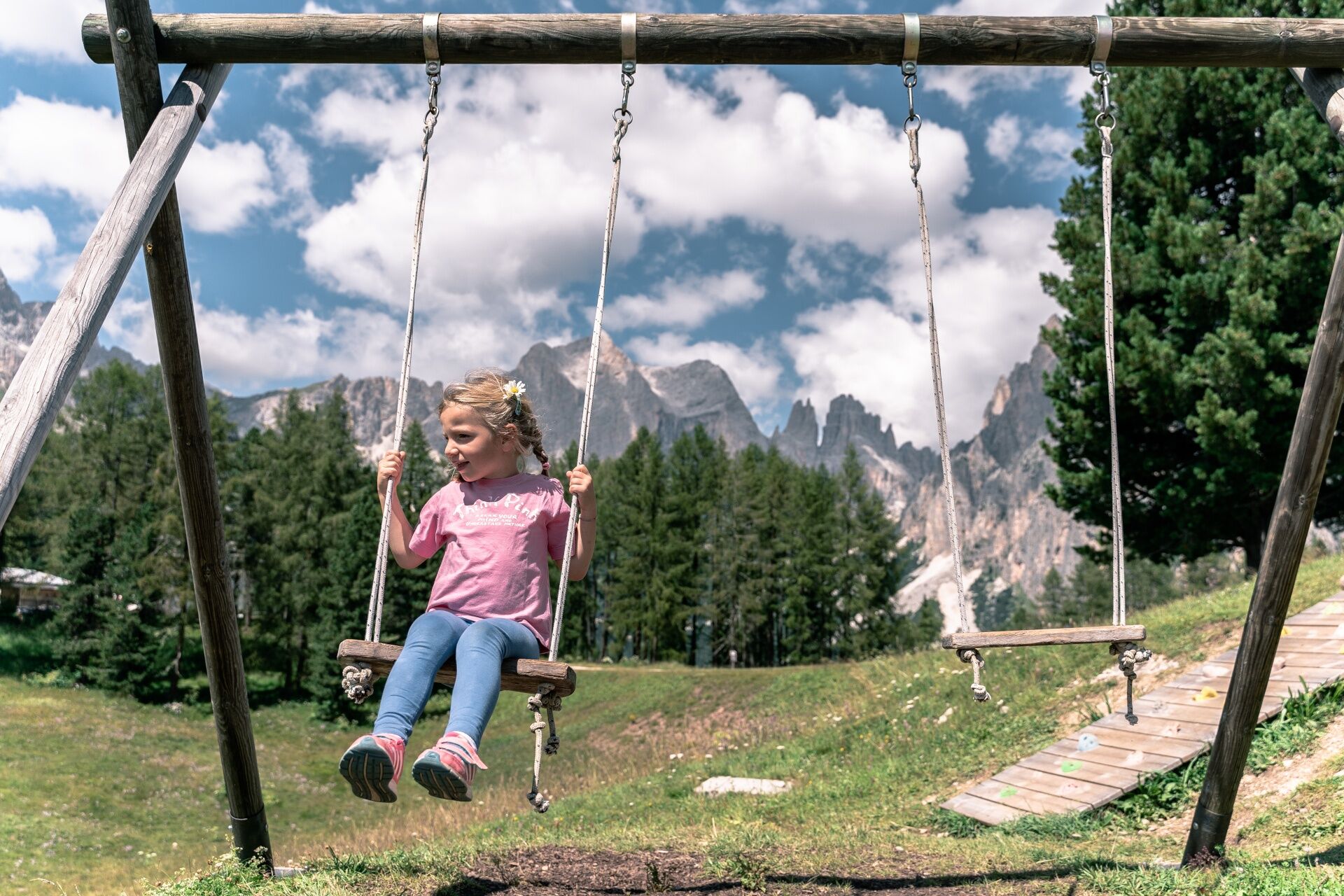

Take the cable car from Vigo or the chairlift from Pera to reach Ciampedie, at 1,998 m: a sunny plateau framed by the Fassa Dolomites, where the forest still seems to hold the stories of King Laurin. The circular route winds around the ski school area, passing through an easy stretch of woodland suitable for families. From the cable car exit, head towards the play area and follow the path that runs to the left of the Kinderpark. At the first junction, take the path on the left, the same one leading to Gardeccia. At the next junction, turn right along the track that descends gently alongside the Baby slope. Continuing on, you will pass behind the chairlift’s valley station, then climb the slope to complete the loop.
There are several places to eat in the area.
Oui
Oui
Oui
Carry in your backpack the necessary to face possible emergency situations, and a first aid kit.
2. Walk slowly, enjoy the landscape and the silence.
3. Inform someone you trust with your itinerary and the estimated return time.
4. Rely on professionals (Alpine and local guides).
5. Help those in distress. In case of real need call assistance on European emergency number 112.
6. Make sure you have suitable clothes and equipment and enough water and some snacks.
7. Respect the environment around you and its inhabitants. Bring back your rubbish.
8. Follow the marked trails avoiding those in the bike park.
9. To protect the wonders of nature, leave everything in its place.
10. Bring your pet along, but keep it on a leash.
Other access routes to Val di Fassa
From the A27 motorway (Venice), Belluno/Ponte nelle Alpi exit: SS 203 to Agordo, then SP 346 over Passo San Pellegrino to Moena (Val di Fassa). From the Moena bypass, continue towards Canazei From the A27 motorway (Venice), Belluno/Ponte nelle Alpi exit: SS 203 to Agordo/Alleghe/Rocca Pietore, then SP 641 over Passo Fedaia to Canazei From Arabba: SS 48 over Passo Pordoi to Canazei From Val Gardena: SS 242 over Passo Sella to Canazeisüdtirolmobil bus lines - Val di Fassa
Line 180: Vigo di Fassa - Passo Carezza - Bolzano- Nearest bus stop (Trentino Trasporti/SAD): Vigo di Fassa > Strada Rezia/Hotel Carpe Diem or Pera di Fassa > Strada Dolomites/Vajolet Chairlift
Free or paid parking spaces in the vicinity of the valley station of the cable car.
T1
Strèda Roma, 36
38032 Canazei (TN)
Phone +39 0462 609500
info@fassa.com
www.fassa.com
The route can be explored independently and is accessible with a trekking stroller or child carrier backpack. Suitable for children aged 5 and up.
Take the cable car from Vigo or the chairlift from Pera (Vajolet 1 + Vajolet 2 + Pian Pecei-Ciampedie). The Panorama Pass is valid, or you can purchase a return ticket at the lift ticket office.
A booklet is available for € 5 at the lift ticket offices.
Webcams de la tournée
-
Ciampedie - Rosengarten
-
Ciampedie - Rosengarten
-
Ciampedie - Rosengarten
-
Ciampedie - Rosengarten
-
Catinaccio - Rosengarten Pra Martin
-
Ciampedie - Rosengarten
-
Ciampedie - Rosengarten
-
Ciampedie - Rosengarten
-
Ciampedie - Rosengarten
-
Catinaccio - Rosengarten Pra Martin
-
Catinaccio - Rosengarten Pra Martin
-
Pozza di Fassa - Buffaure
-
Pozza di Fassa
Obtenez un aperçu
Toujours en direct avec plus de 9.500 webcams. En tant qu'utilisateur Pro, vous pouvez désormais voir les webcams correspondantes à de nombreuses randonnées dans l'application de randonnées de bergfex. Vous pouvez ainsi voir directement les conditions actuelles.
Parcours populaires à proximité
-
4,6
Passo Pordoi - Sass Pordoi - Forcella Pordoi - Piz Boè - Refuge Boè - Forcella Pordoi - Passo Pordoi
difficileRandonnée 8,39 km -
5,0
Langkofel Klettersteig/Ferrata Furcela de Saslonch
difficileVia ferrata 7,07 km -
5,0
Um den Langkofel
moyenRandonnée 9,76 km -
4,9
Lang- und Plattkofel Umrundung
moyenRandonnée 17,5 km -
4,8
Santnerpass Klettersteig
moyenVia ferrata 8,29 km -
4,8
Langkofel-Umrundung
moyenRandonnée 12,9 km -
4,7
Puflatsch Umrundung
facileRandonnée 8,37 km -
4,0
Der Friedrich-August-Weg
moyenRandonnée 10,4 km -
4,8
Schlern Bersteigung
moyenRandonnée 19,1 km -
4,7
Compatsch - Piz - Saltria - Joch - Compatsch
moyenRandonnée 16,8 km
Randonnée et suivi


Ne manquez pas les offres et l'inspiration pour vos prochaines vacances
Votre adresse électronique a été ajouté à la liste de diffusion.





