







Historical tour "Federspiel - Costa Bella
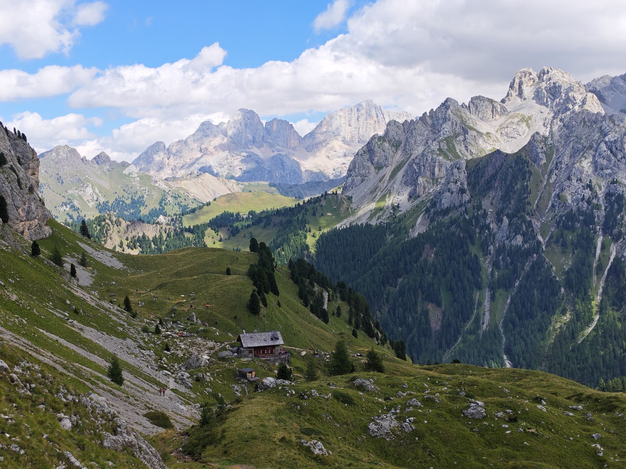
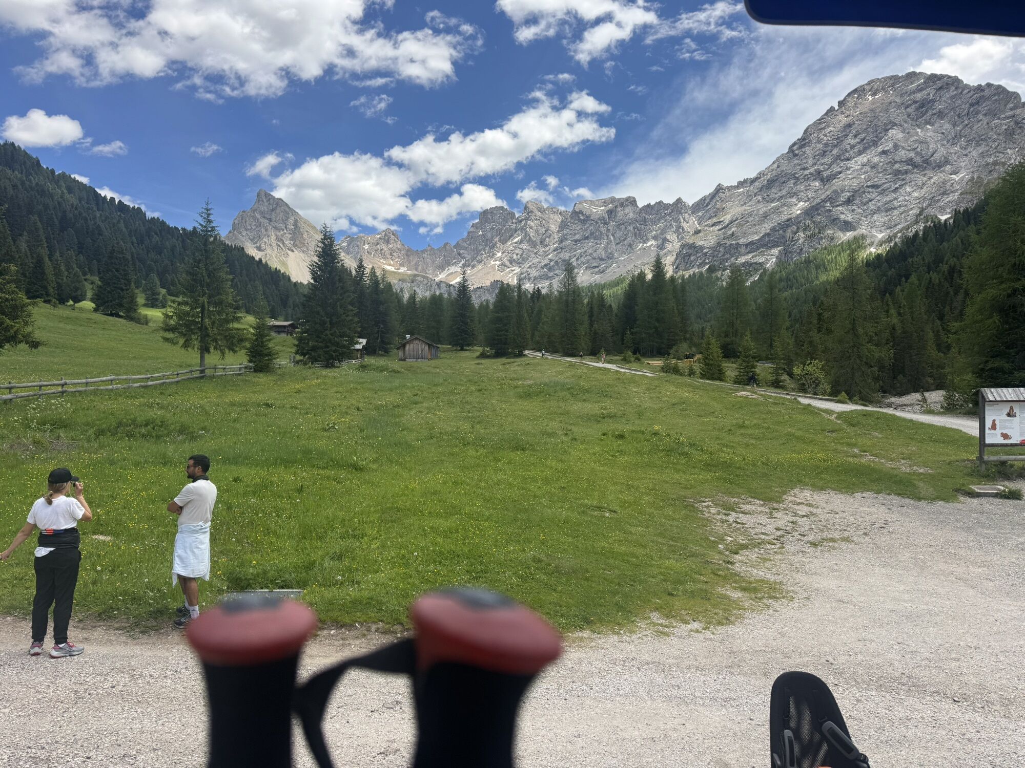
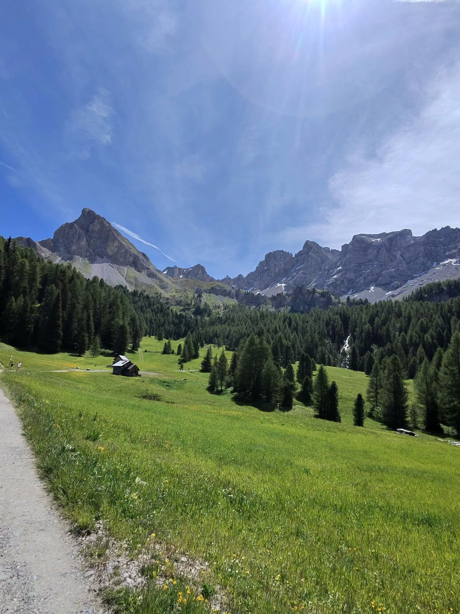
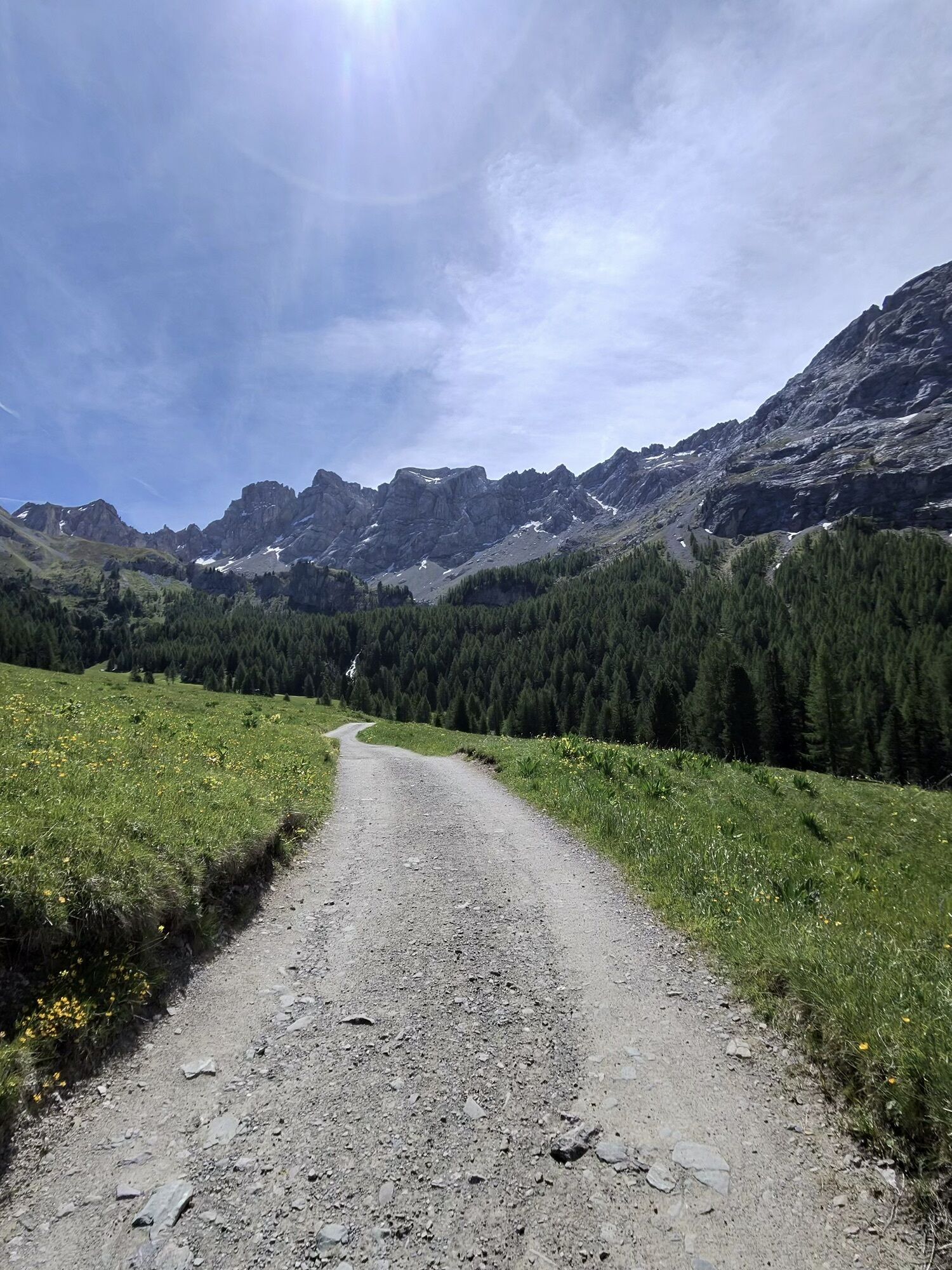
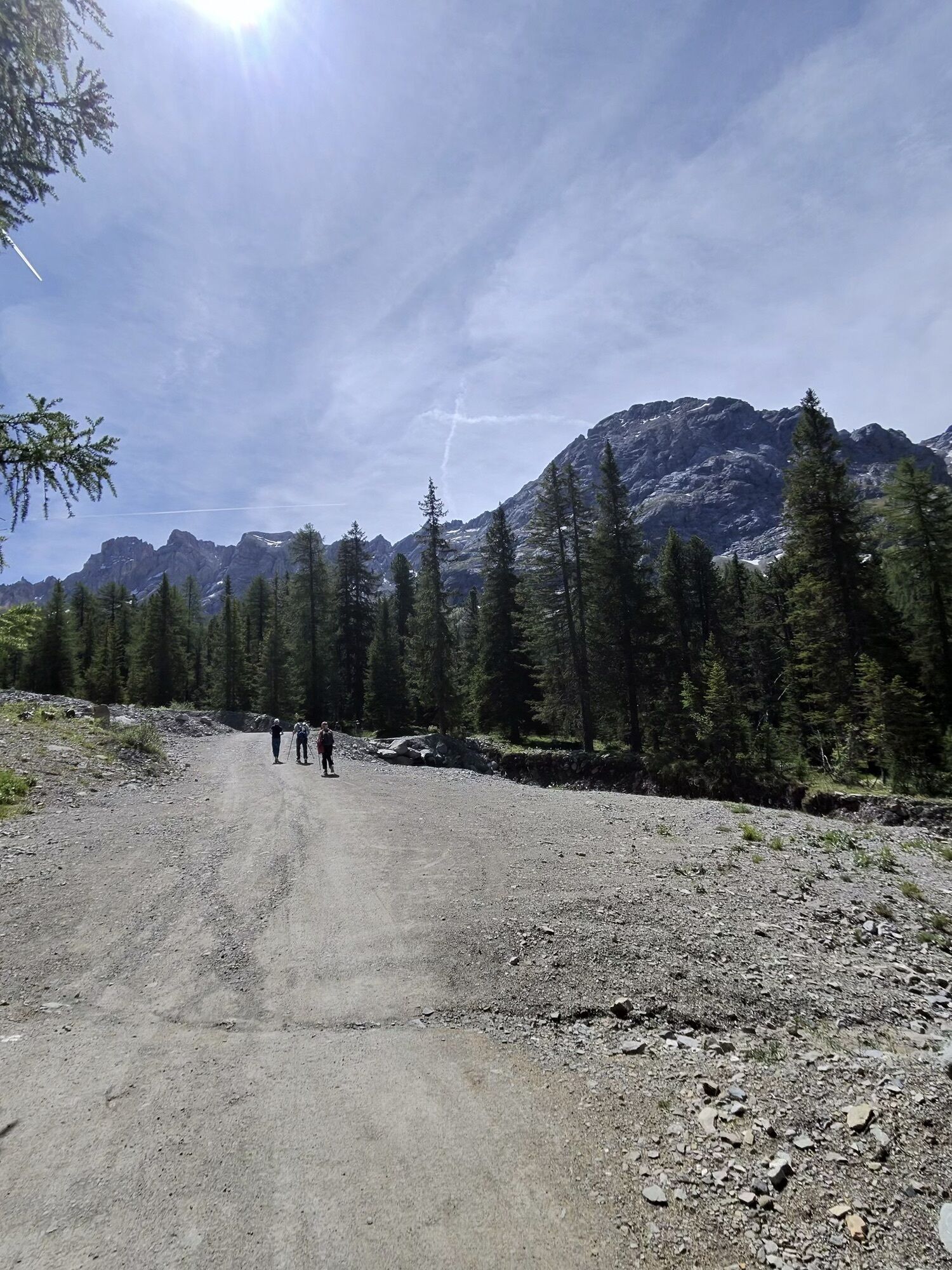
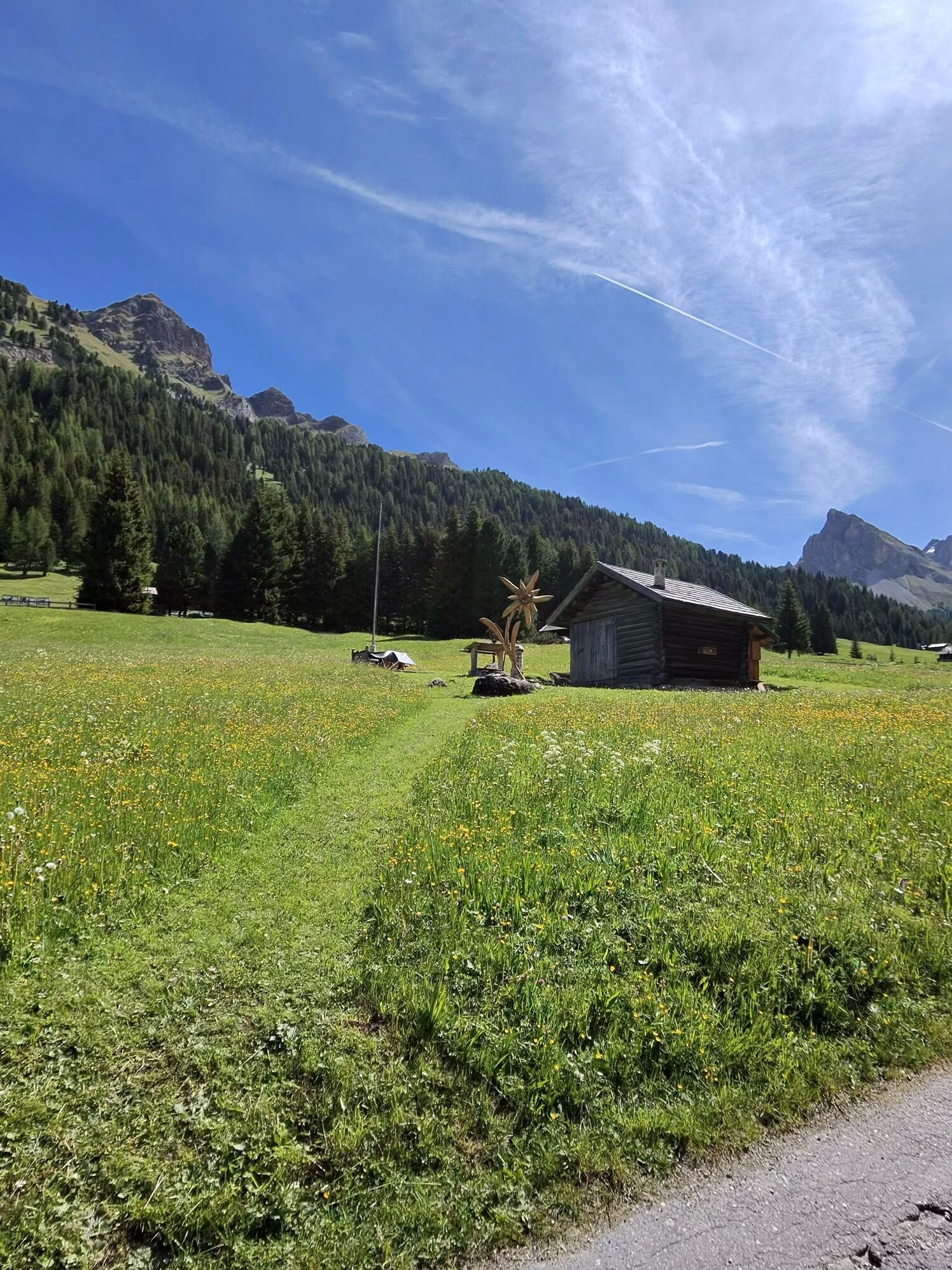
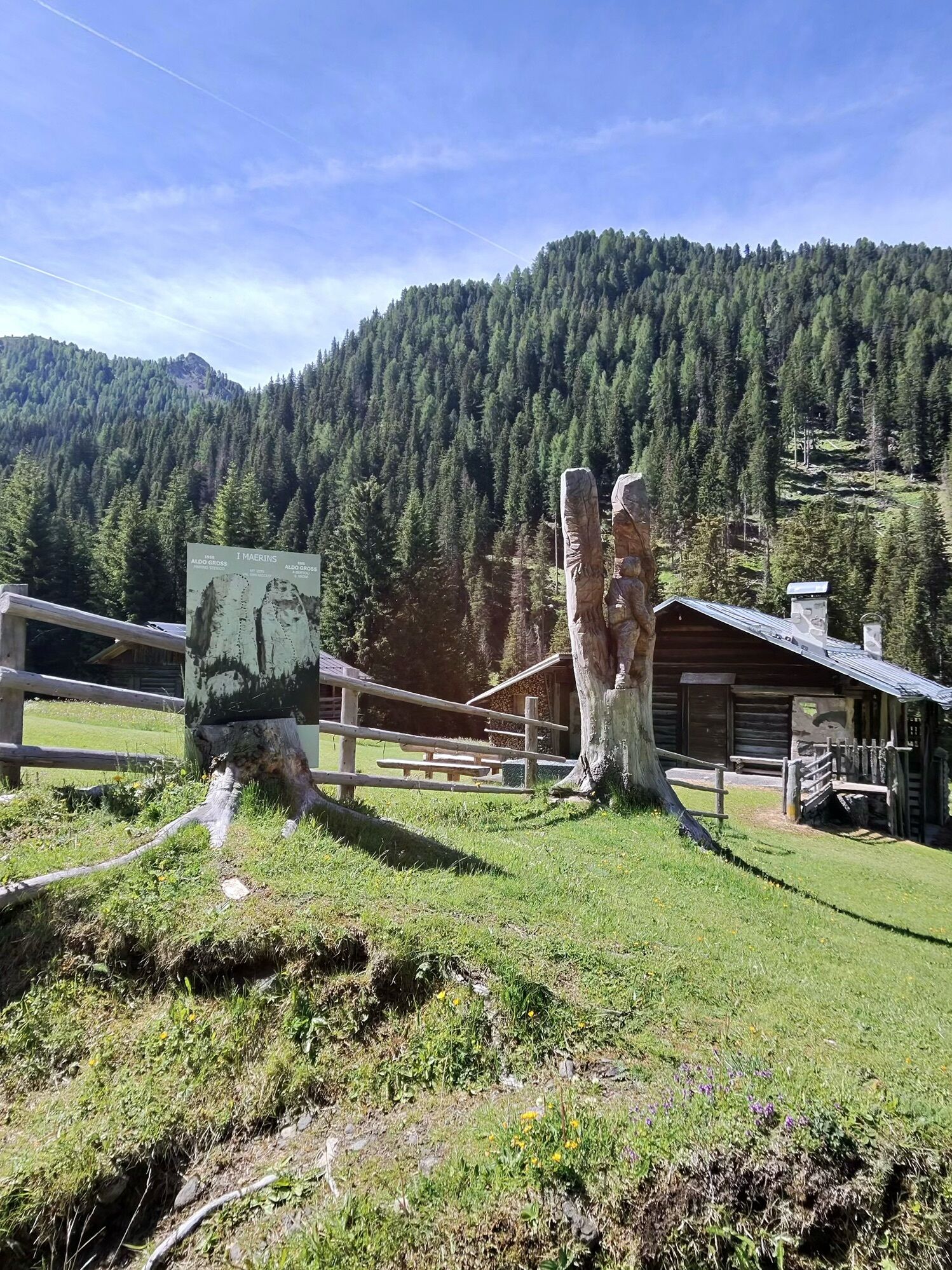
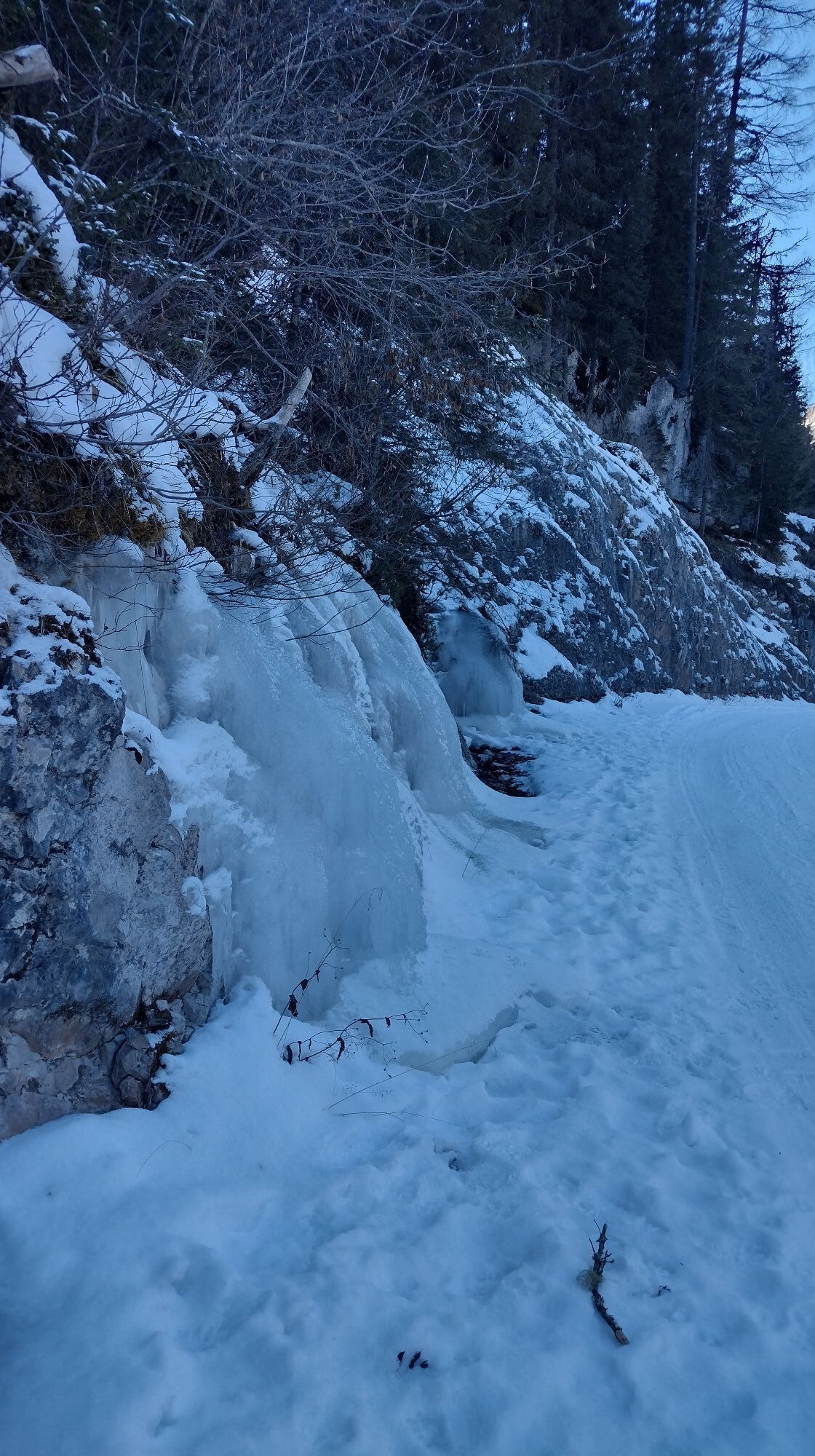
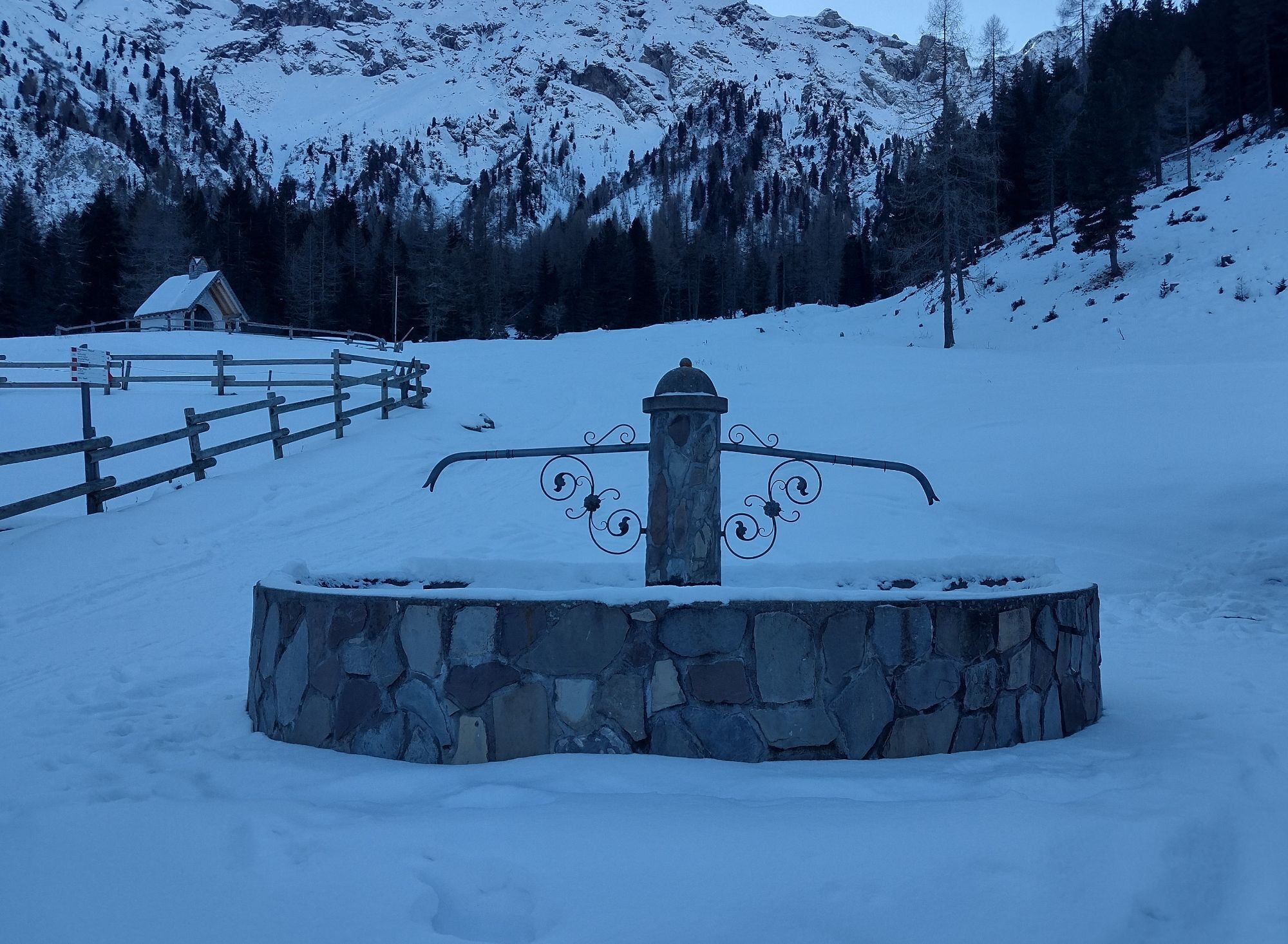
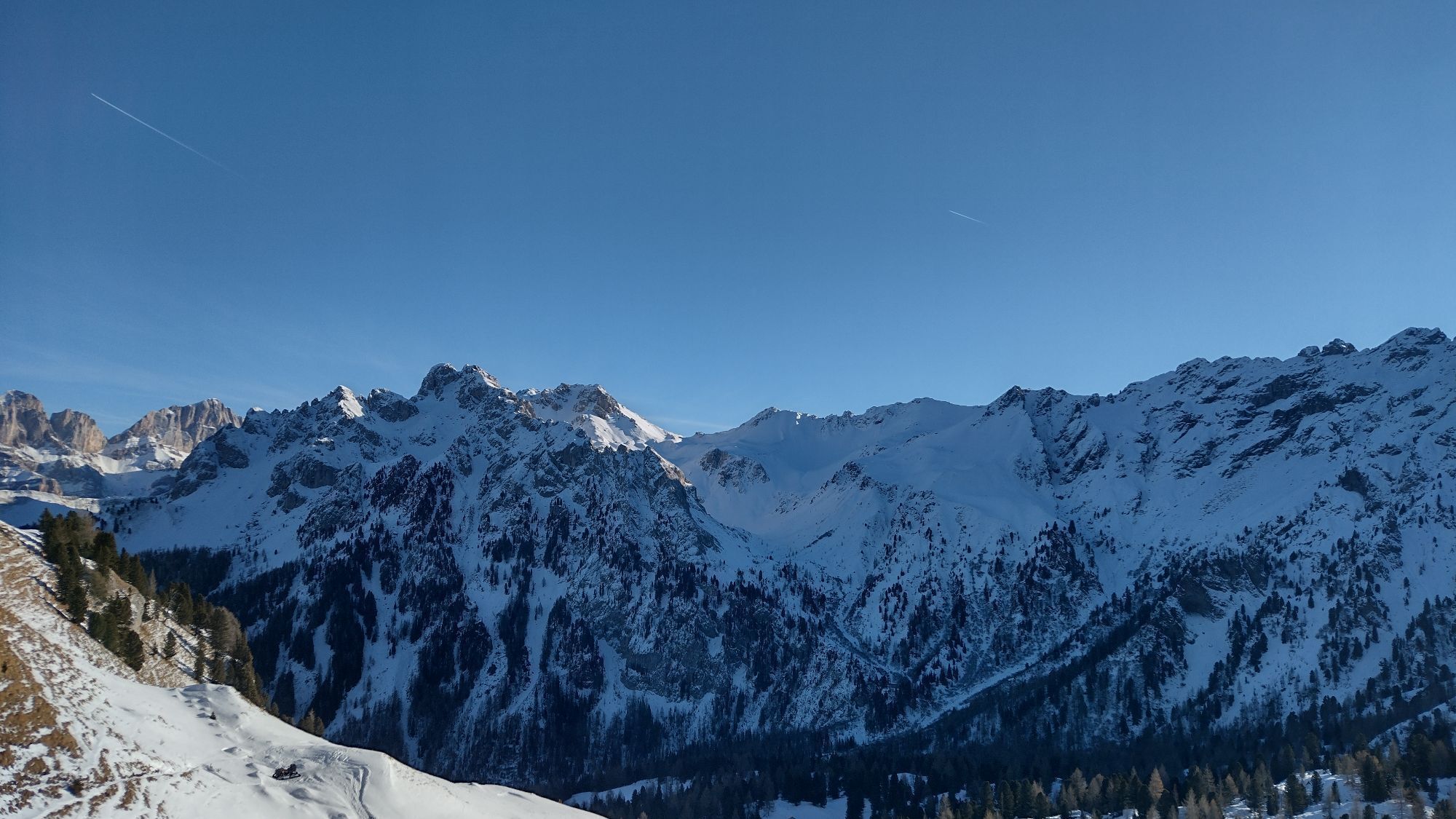
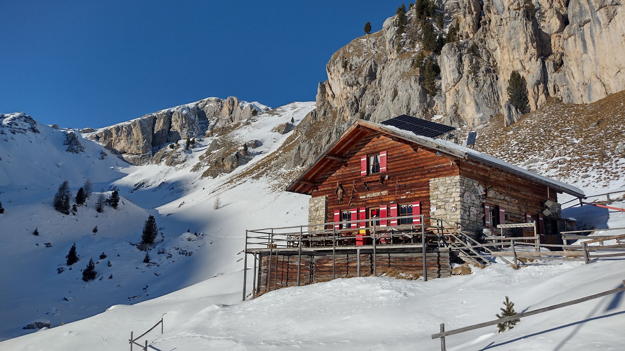
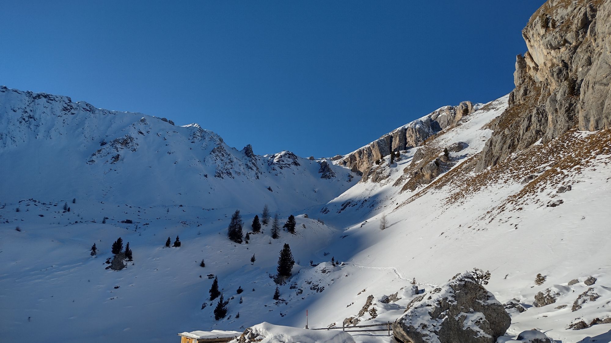
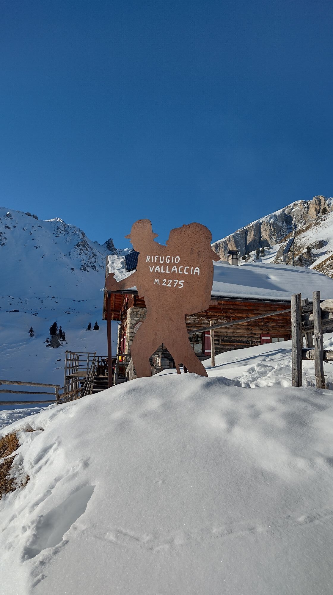
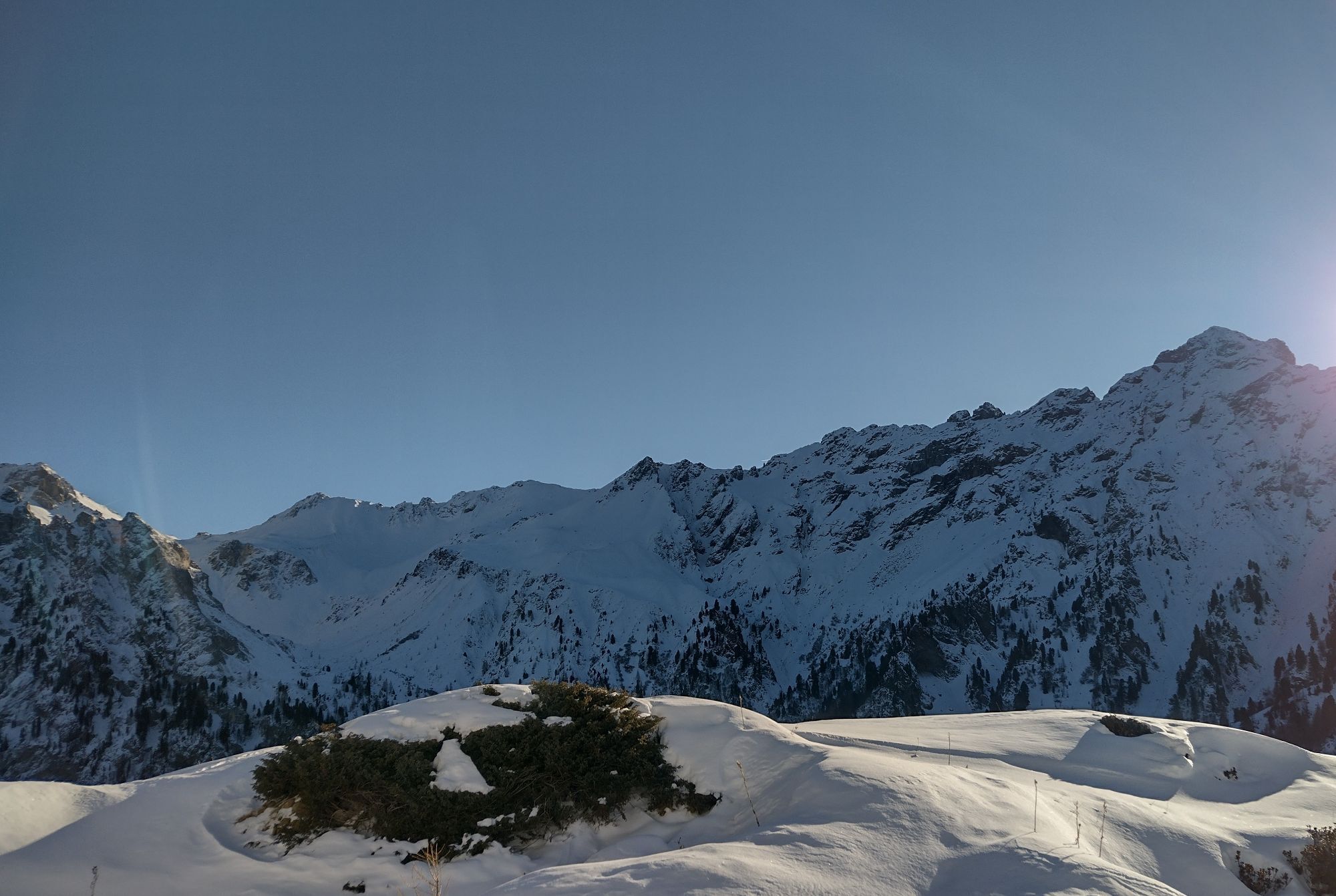
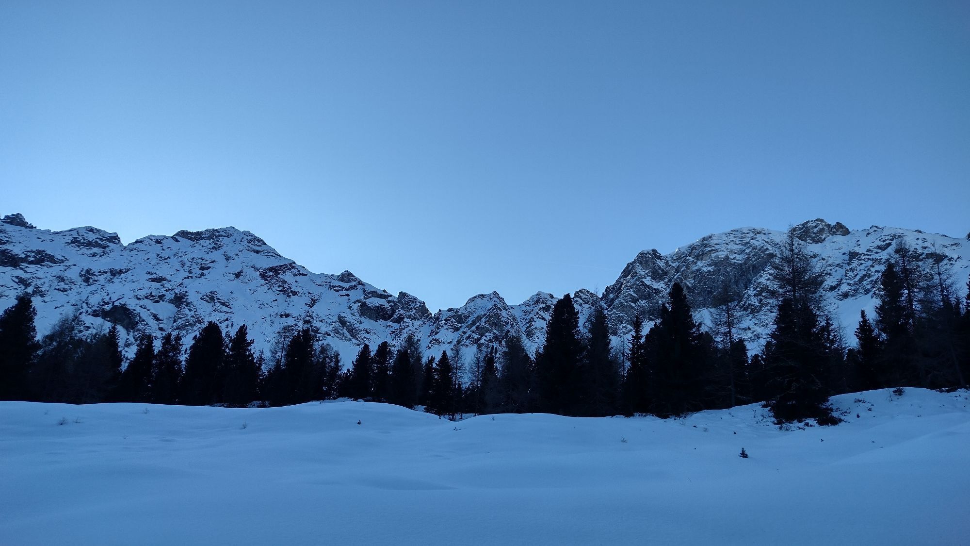
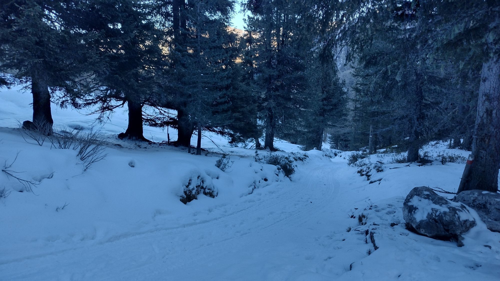
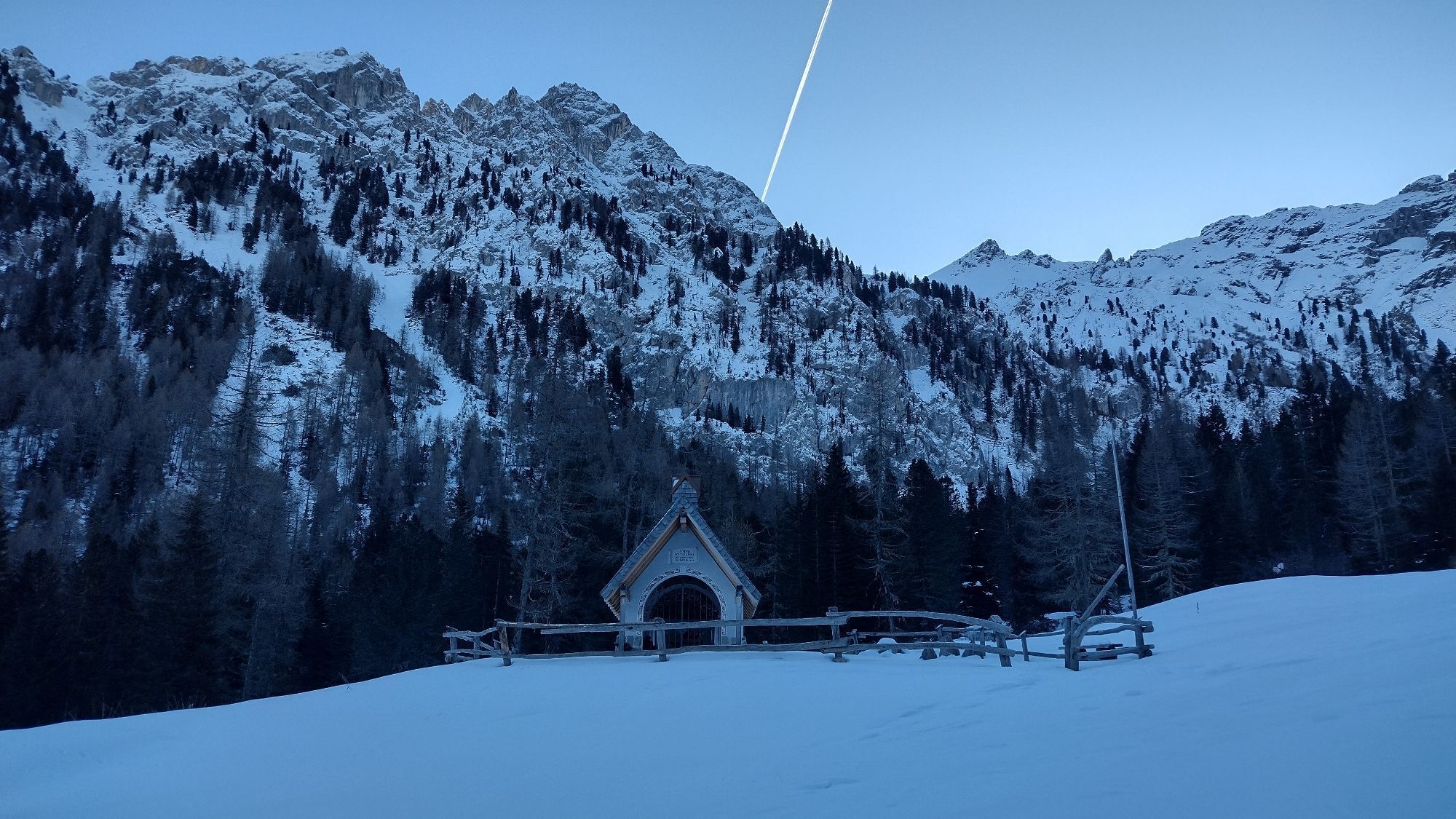
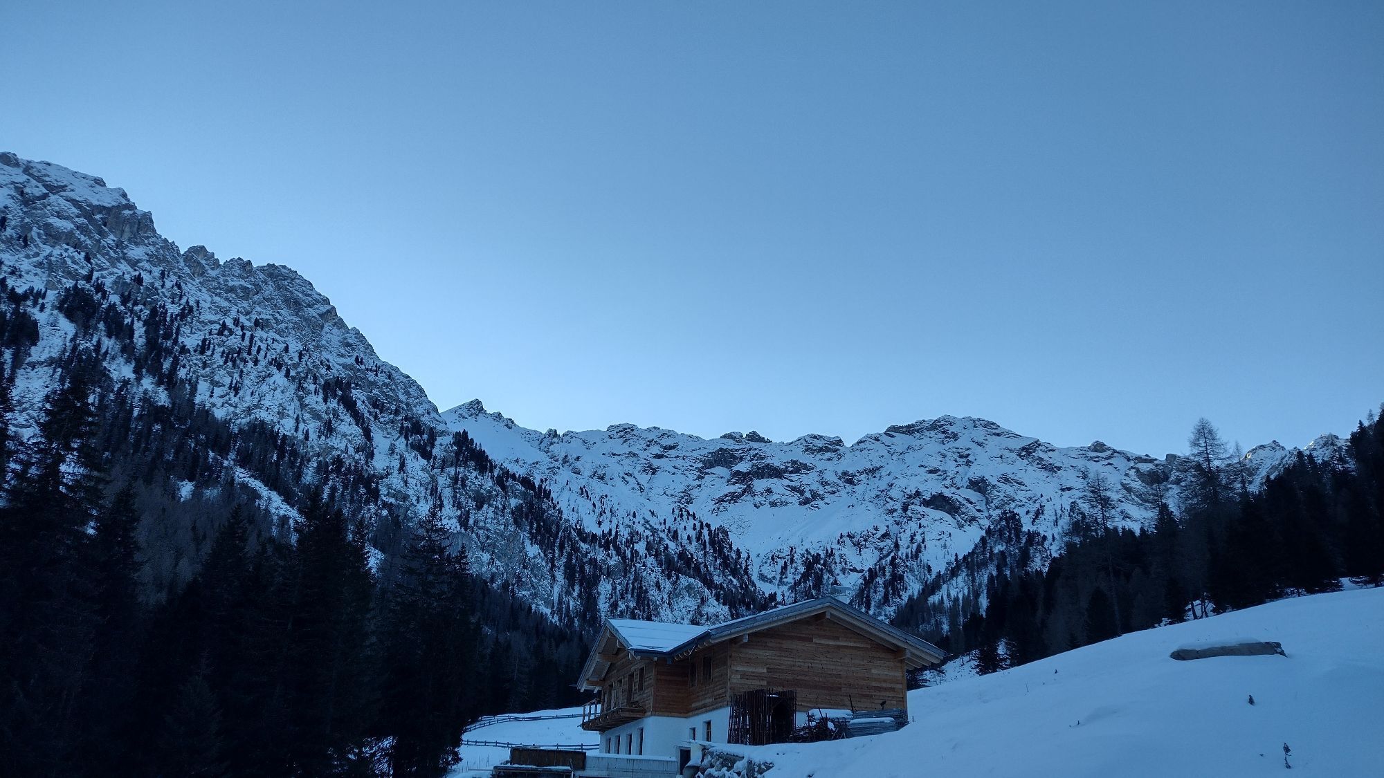

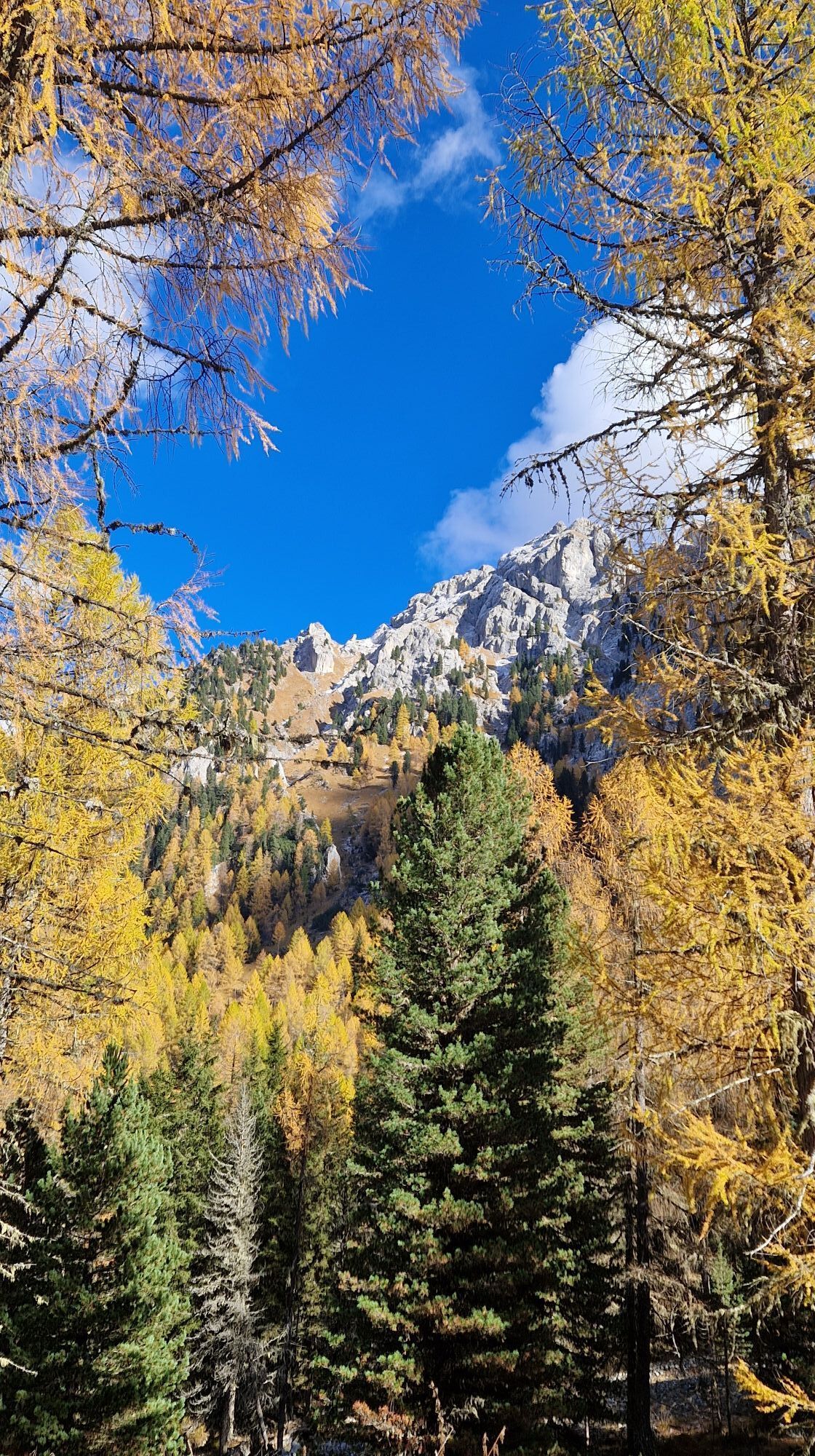
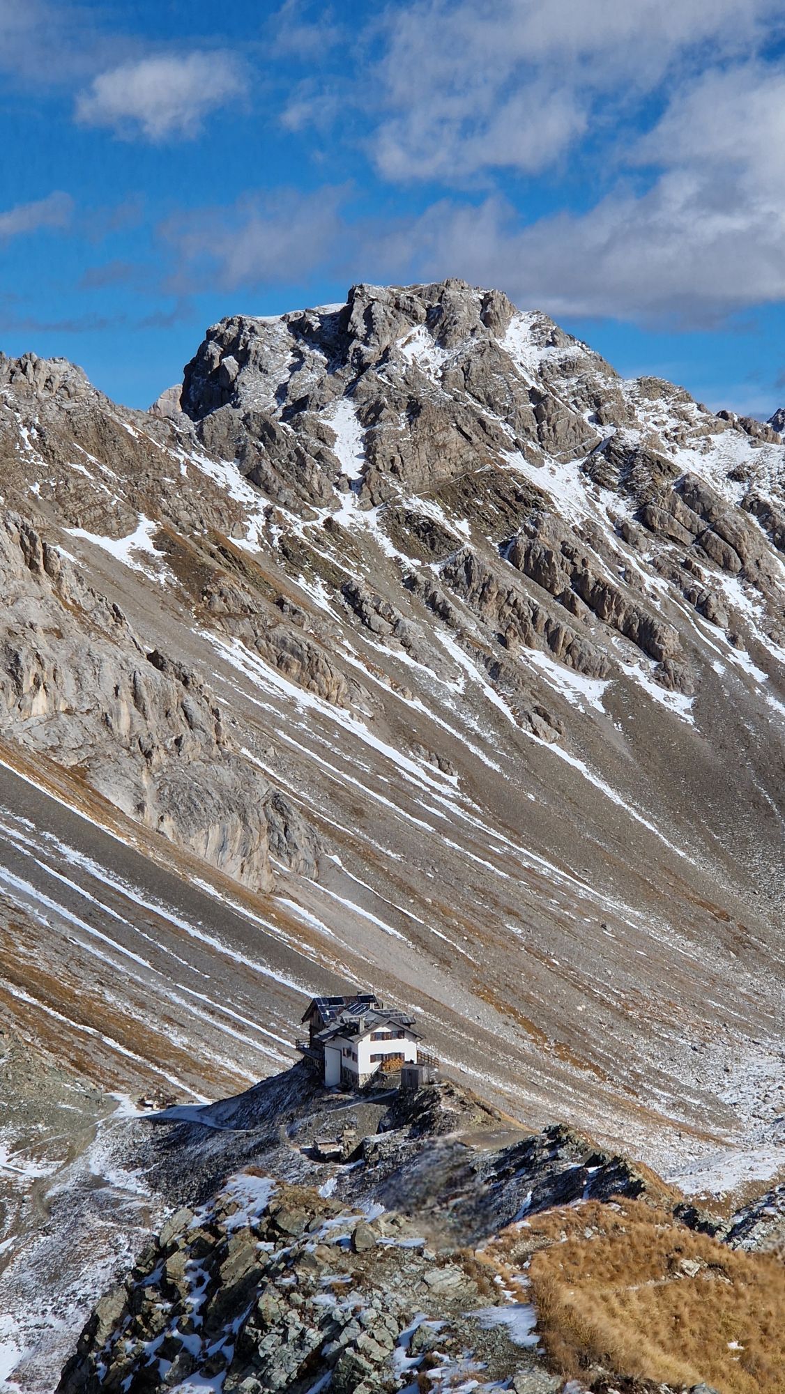
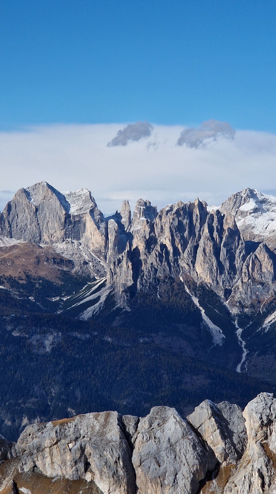
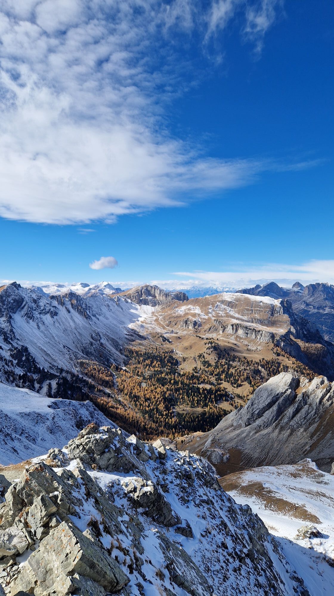
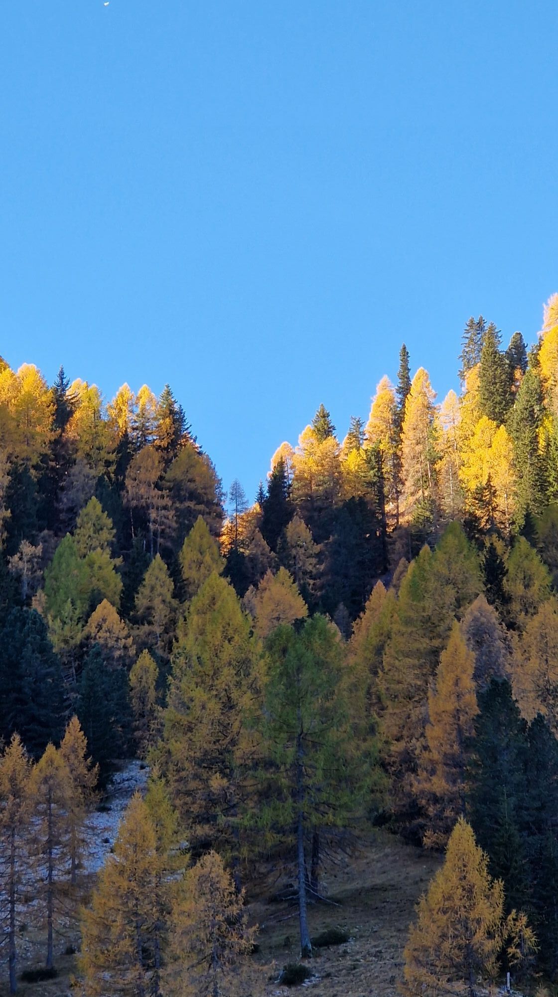
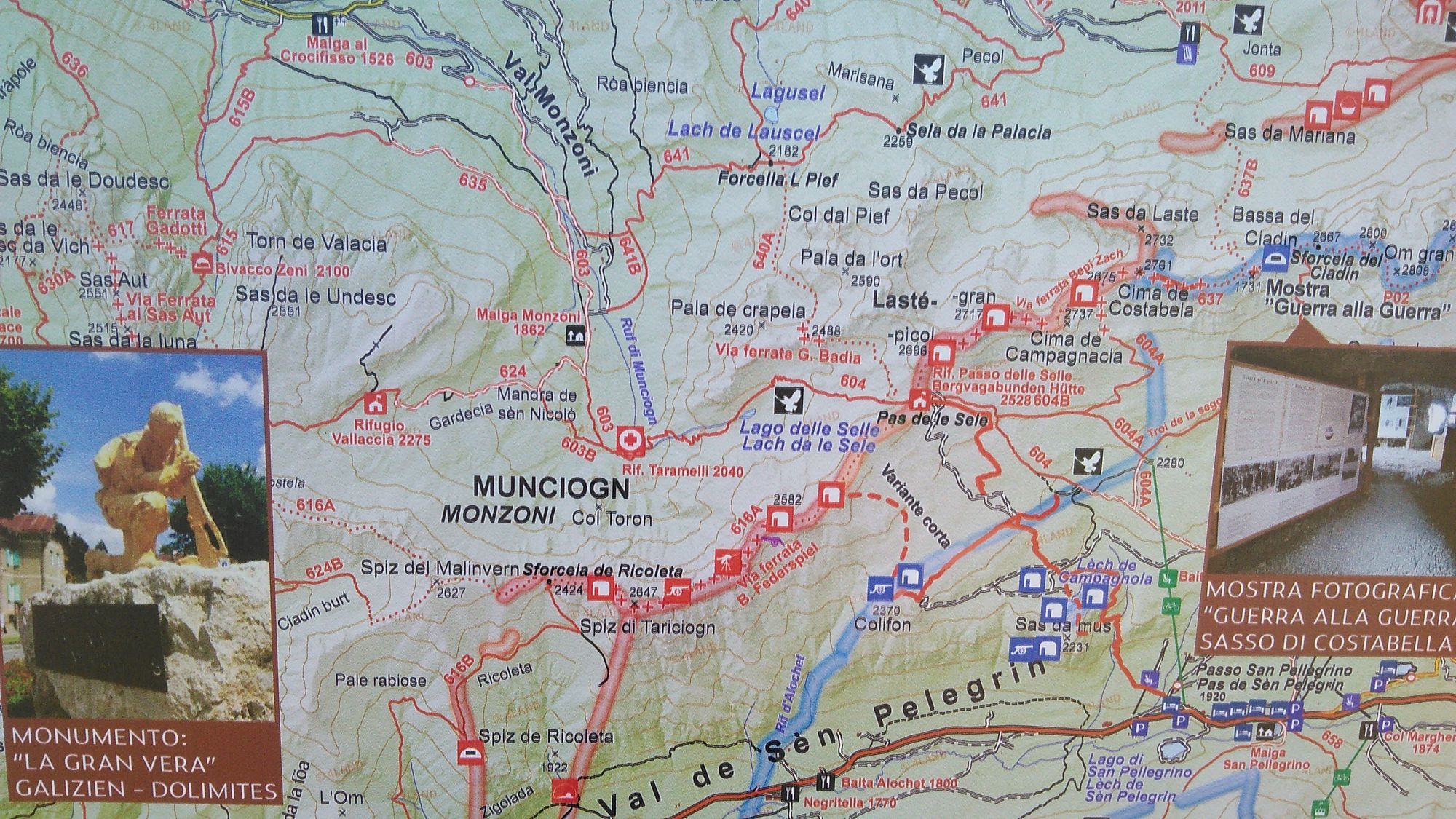
The tour starts on an asphalt road for the first 4 km to the "Malga Monzoni" hut. Tip: However, you can also take the hiking bus there, which departs from the car park near the Vidor campsite and takes...
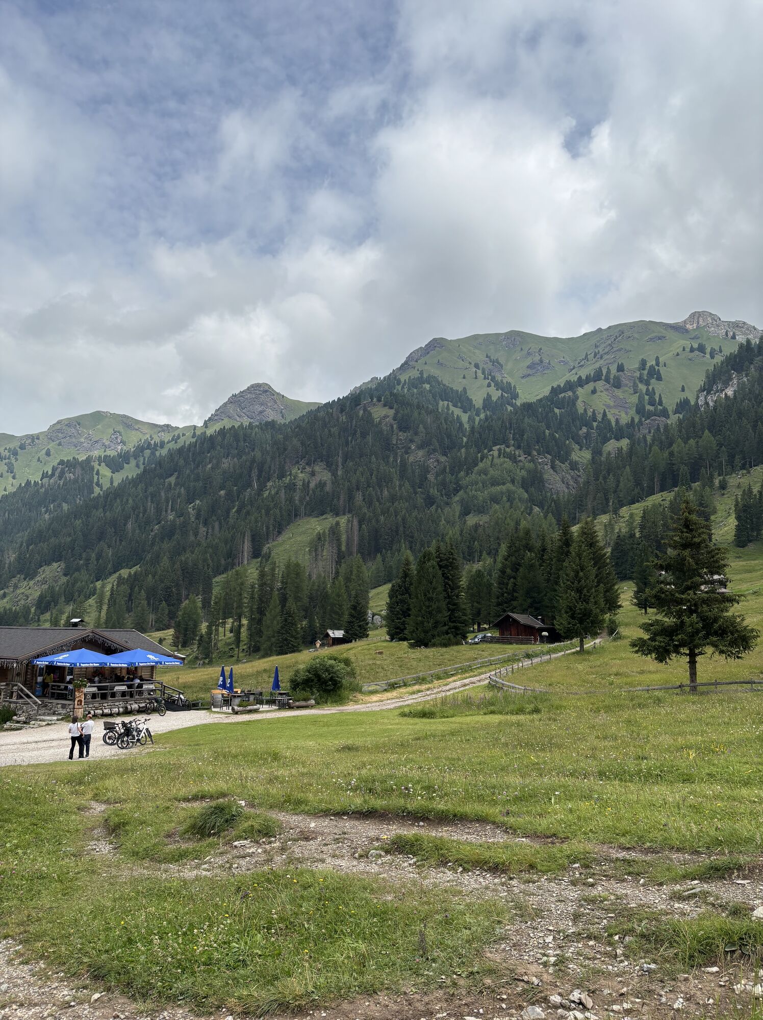
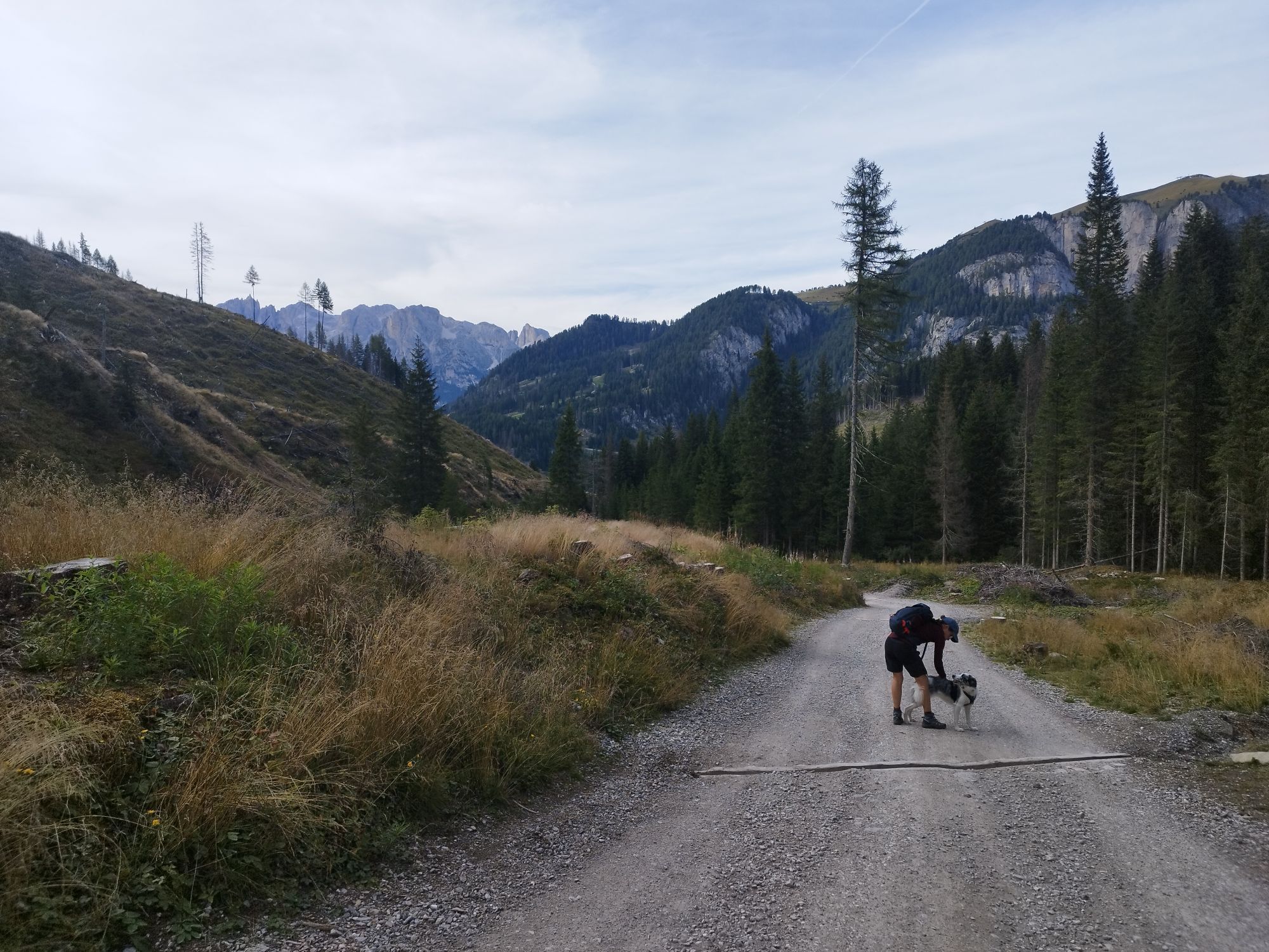
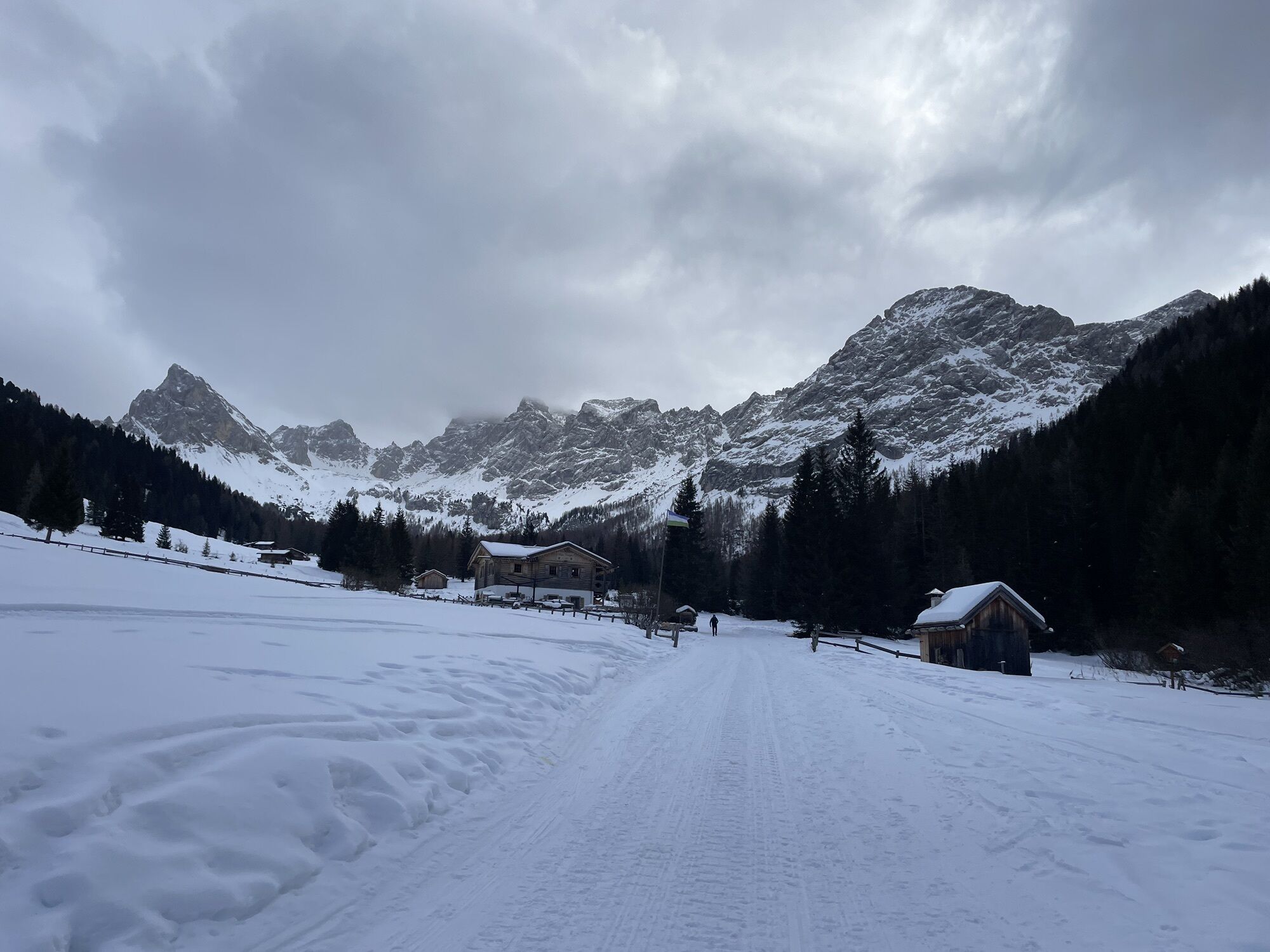
The tour starts on an asphalt road for the first 4 km to the "Malga Monzoni" hut.
Tip: However, you can also take the hiking bus there, which departs from the car park near the Vidor campsite and takes you to the hut.
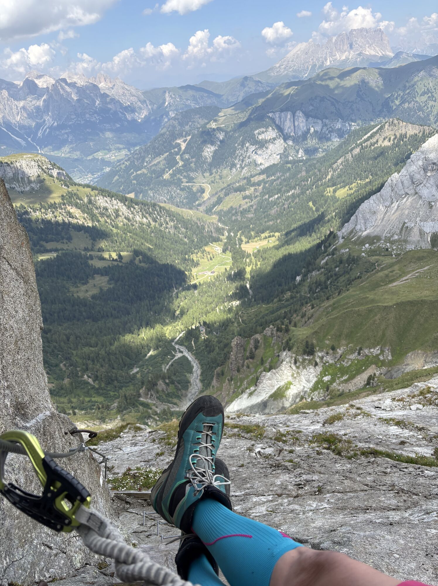
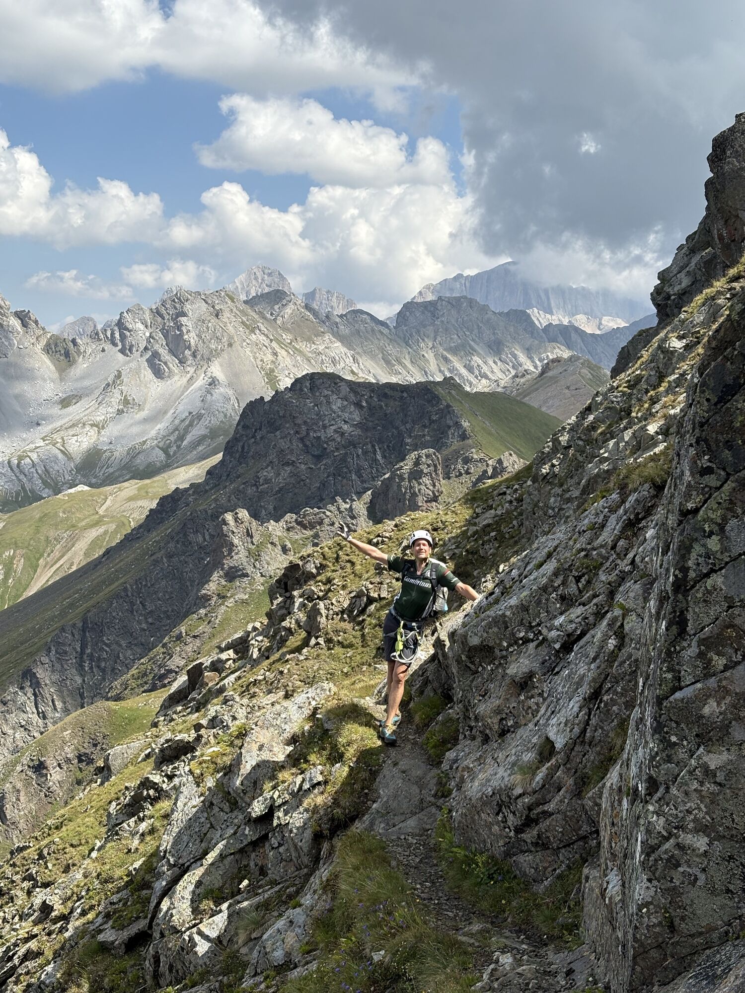
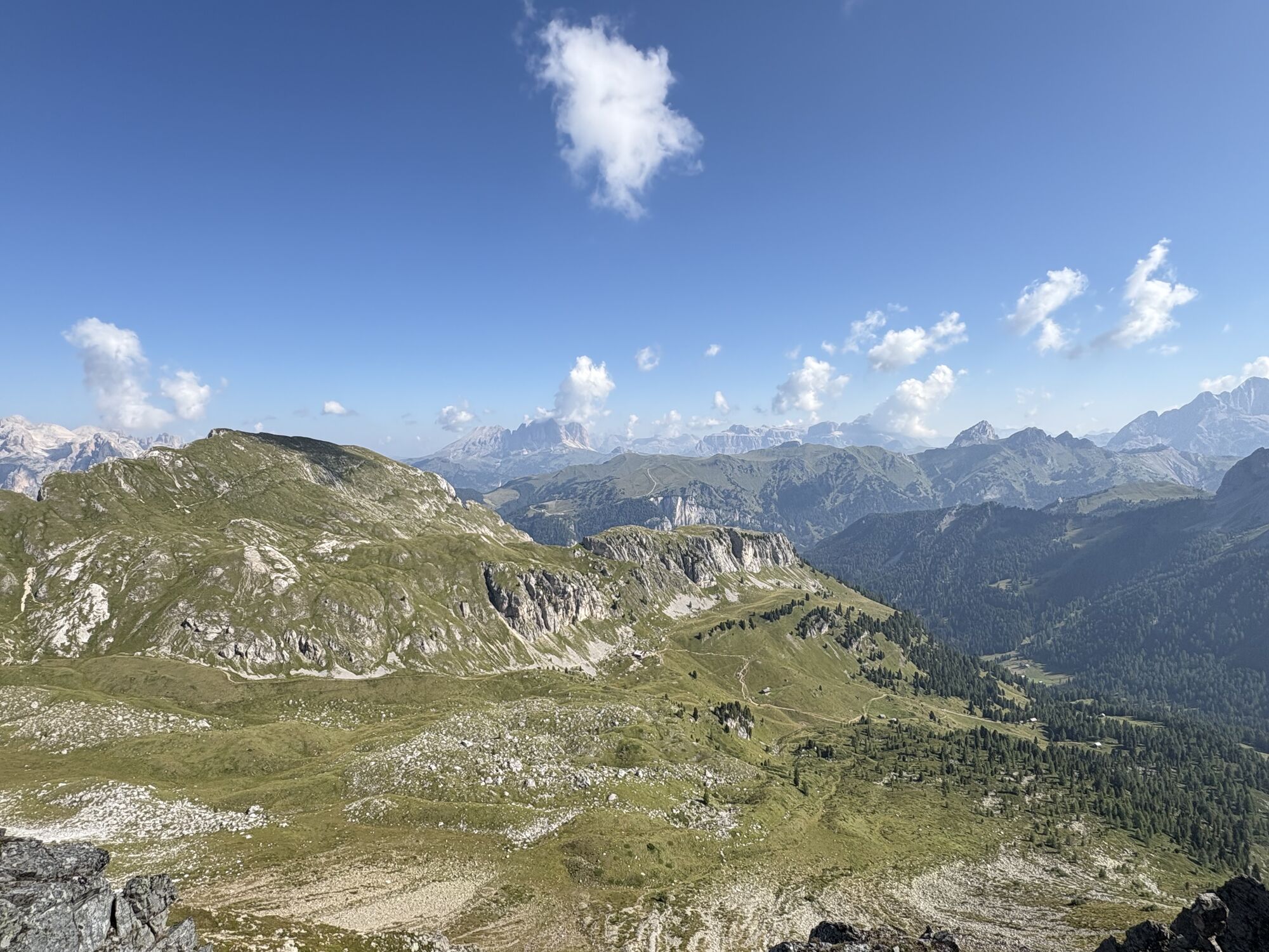
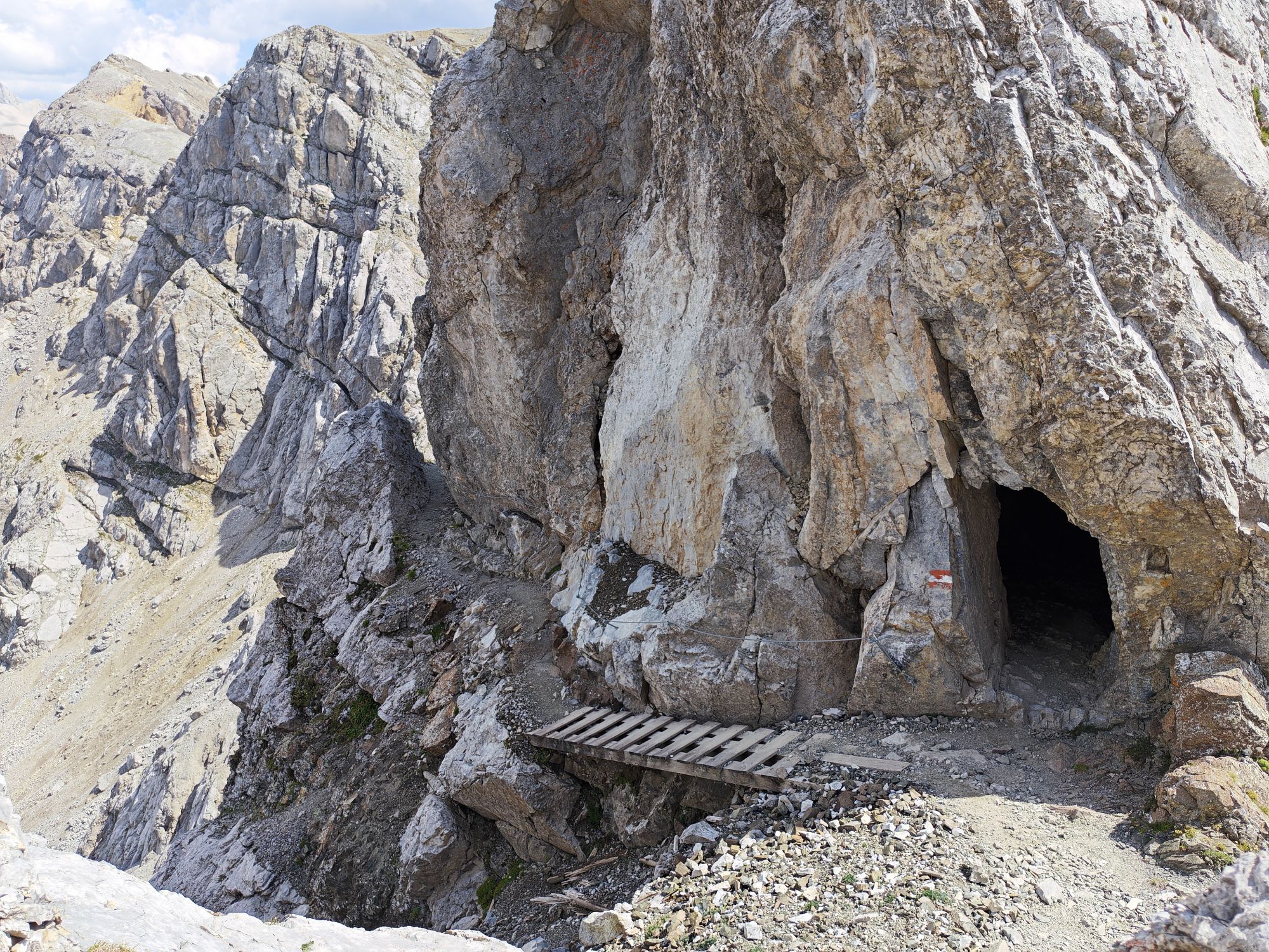
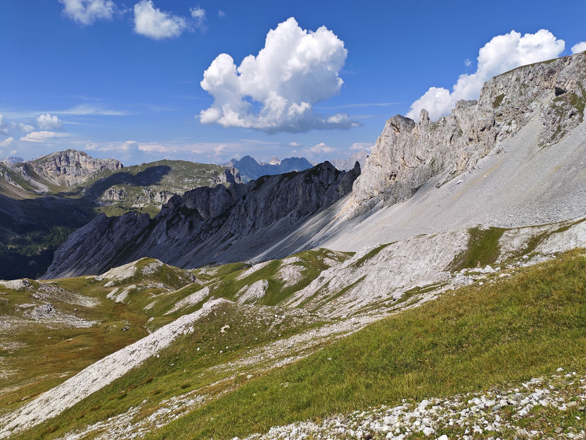
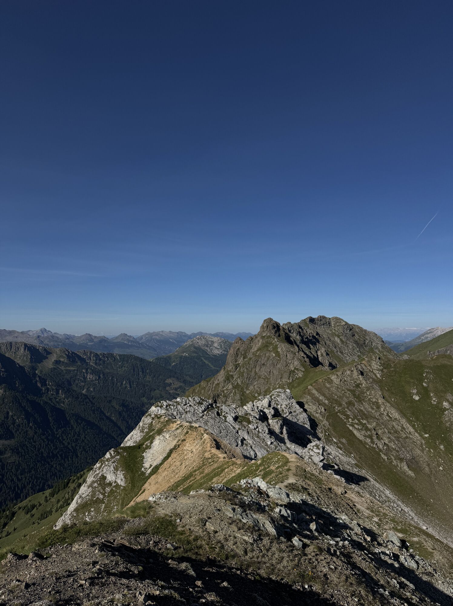
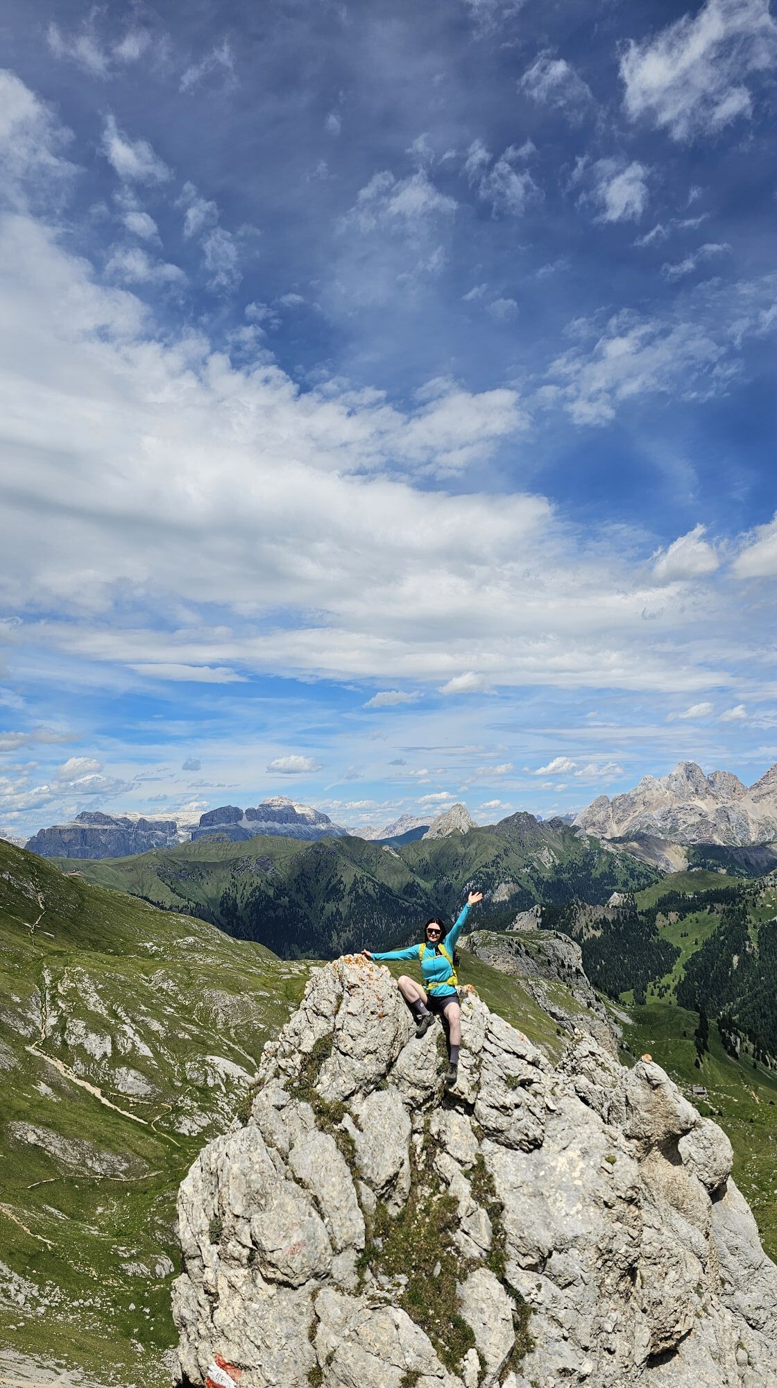
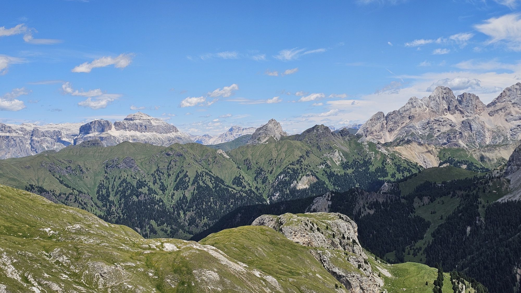
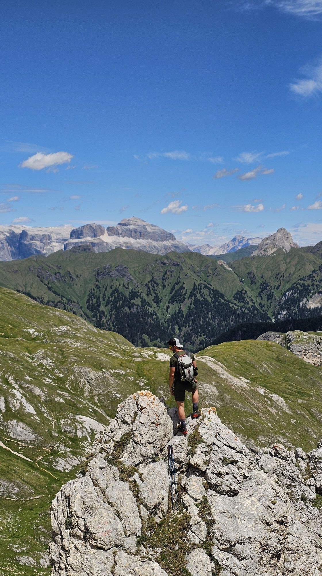
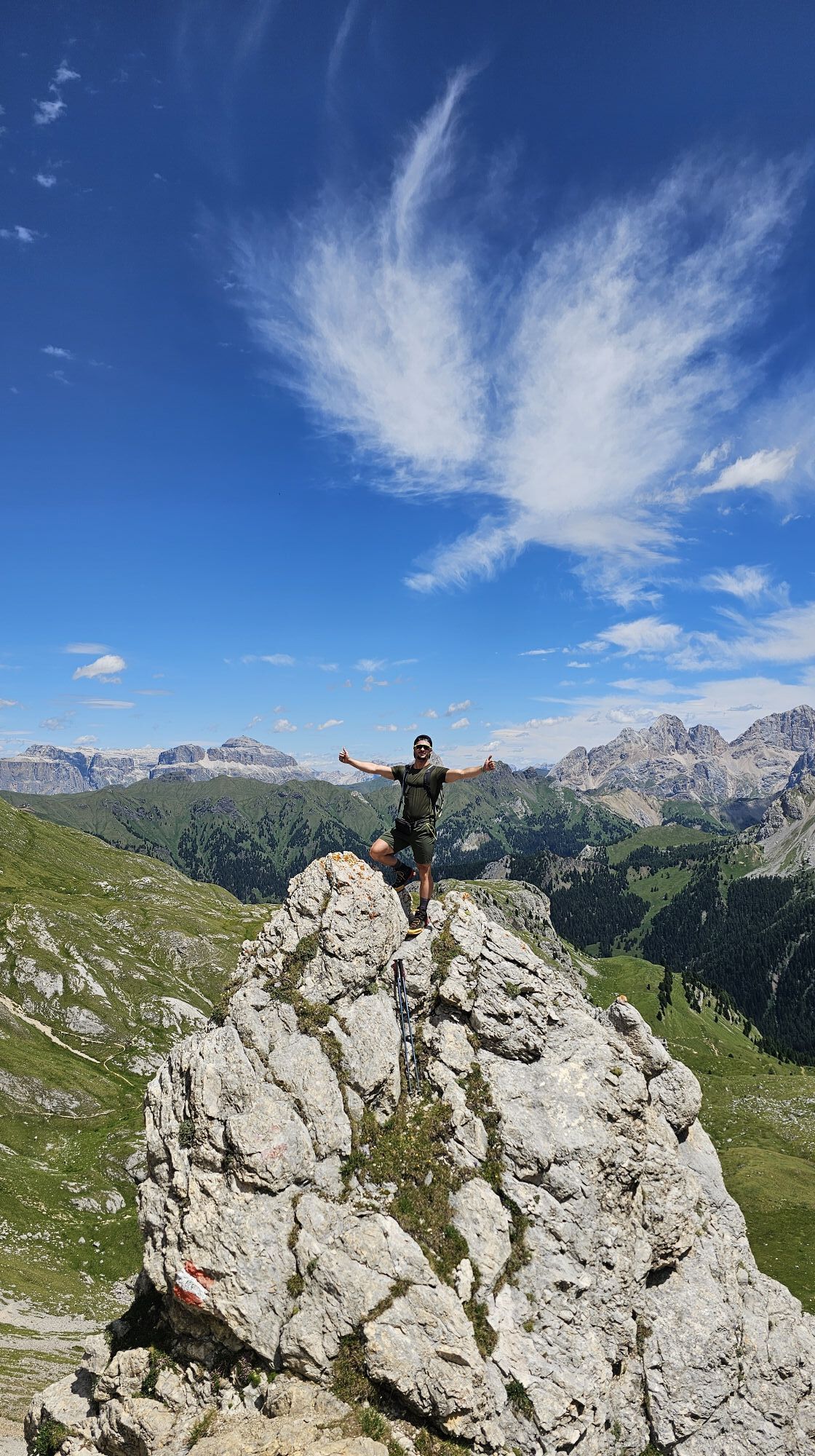
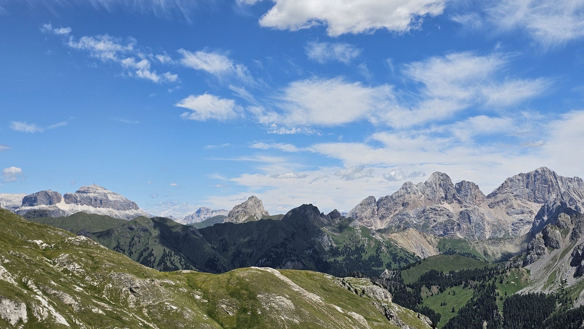
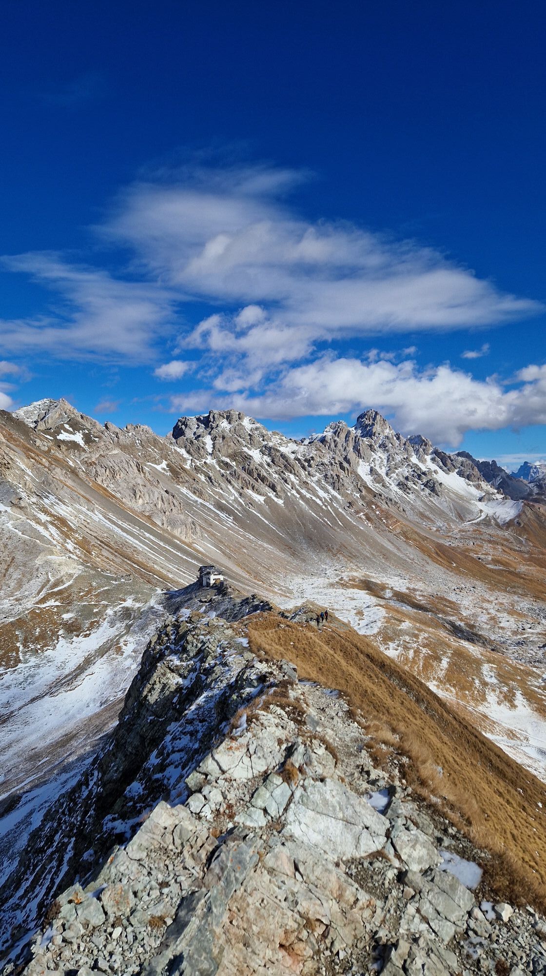
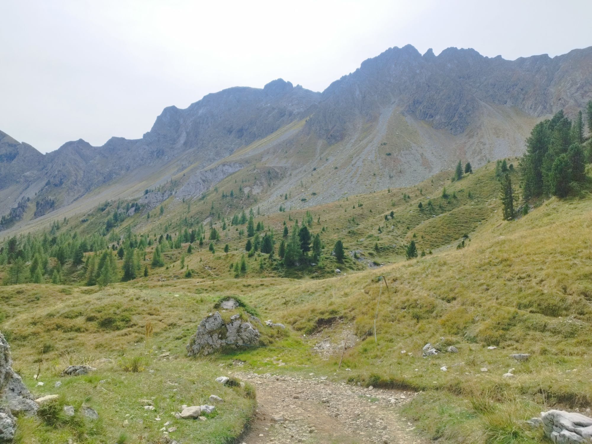
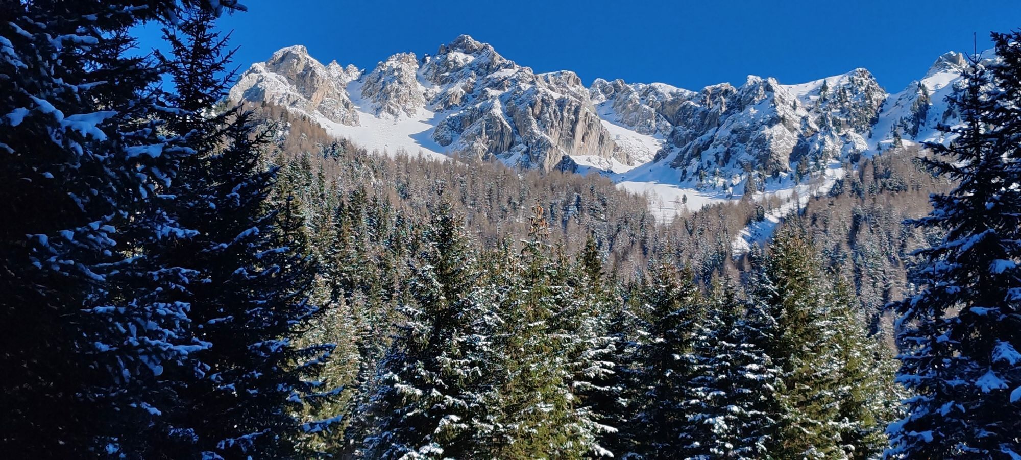
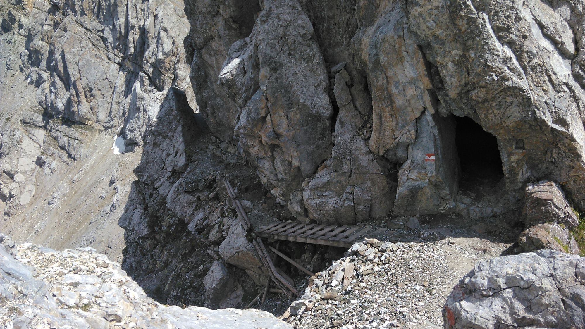
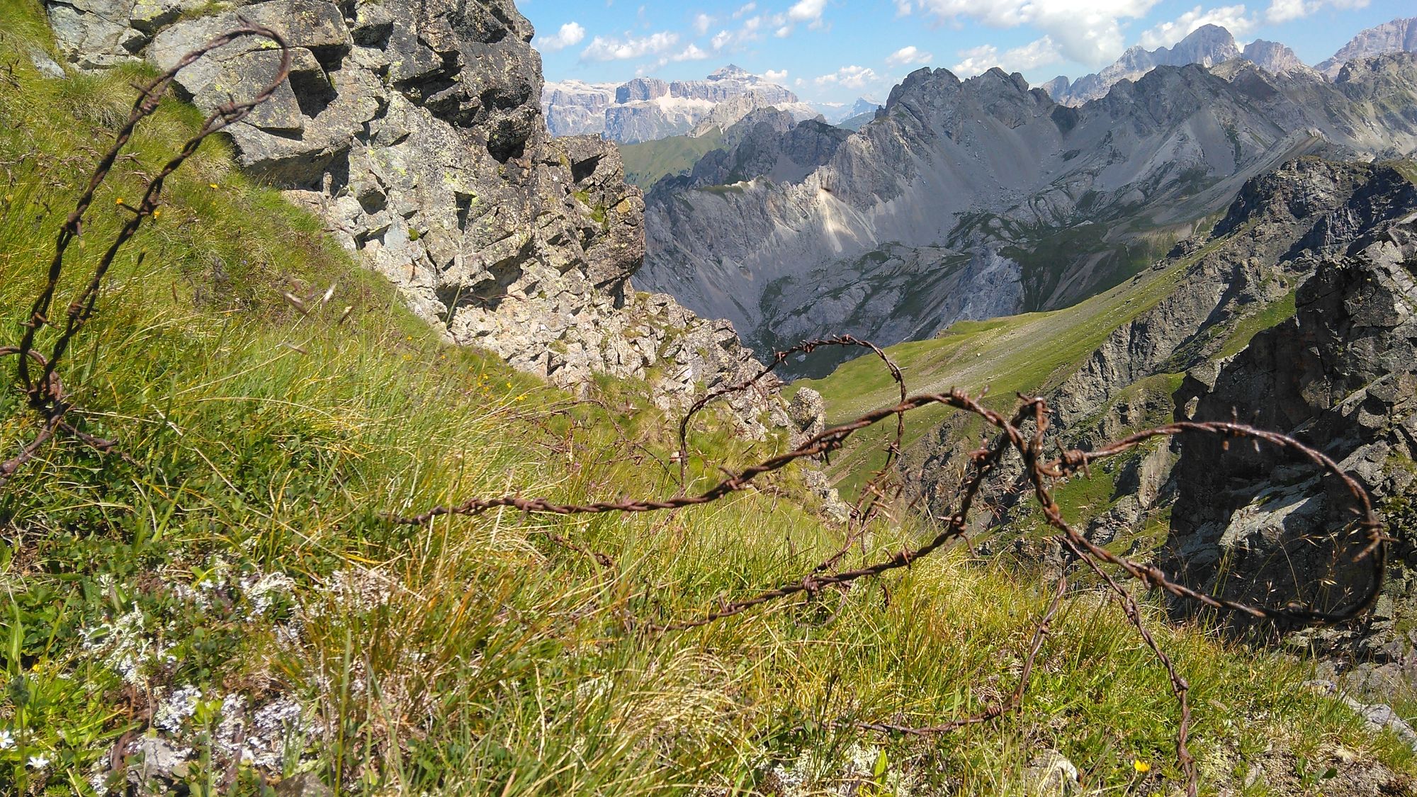
Afterwards it climbs a little steeper and via the "Rifugio Vallacia" you reach the ridge. There the technically more demanding part begins with the via ferrata called "Bruno Federspiel" (difficulty B/C - the most difficult part is right at the beginning and can also be bypassed). A narrow path with sloping passages downwards. Surefootedness is required! In general, there are some steep climbing passages that you have to climb with your hands and feet and that are very exposed. However, the views are fantastic. Sometimes you get the feeling that there should be some iron ladders for more safety. But the via ferrata has few attached aids.
After 2 km of via ferrata, you reach Forc. Ricoleta; from here on, the route becomes a little easier. There are also some iron pegs and a ladder.
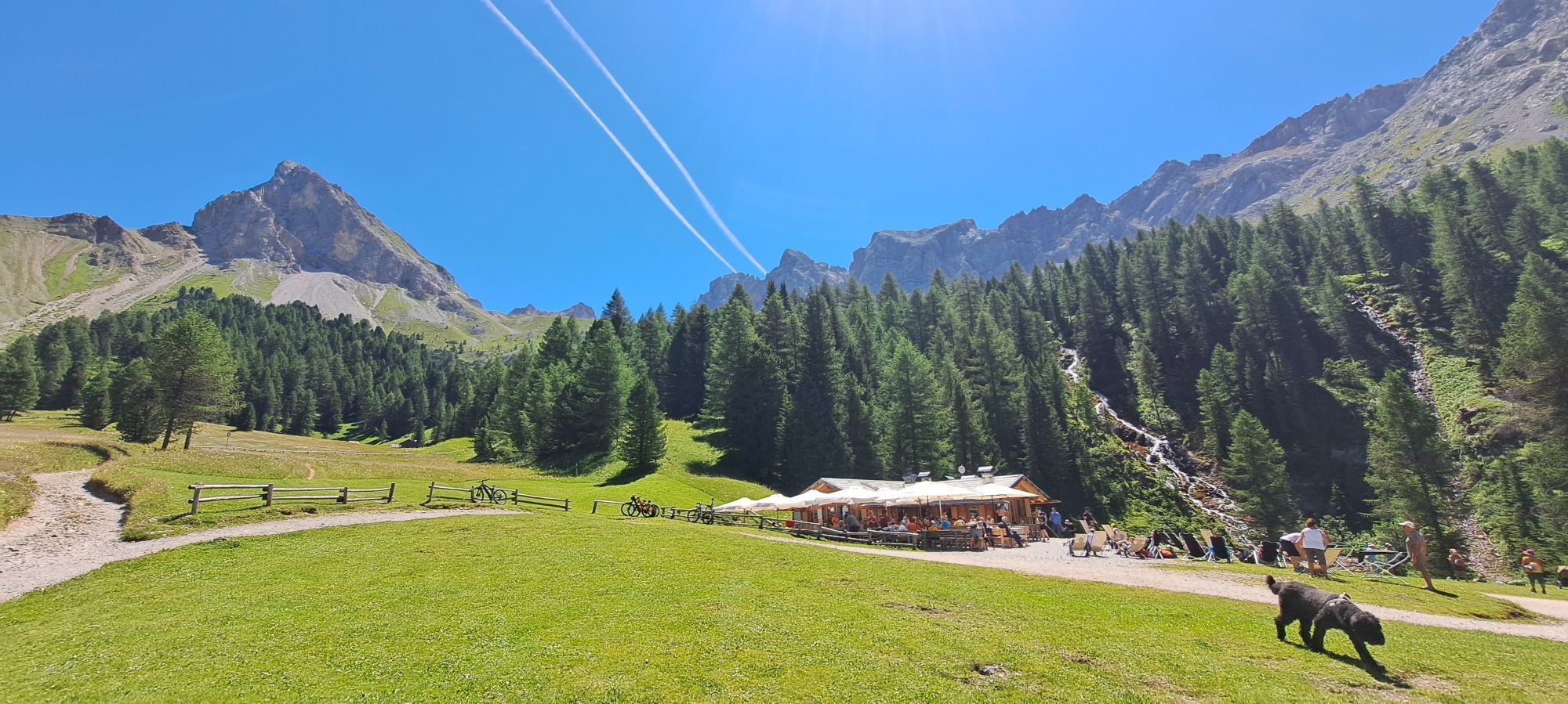
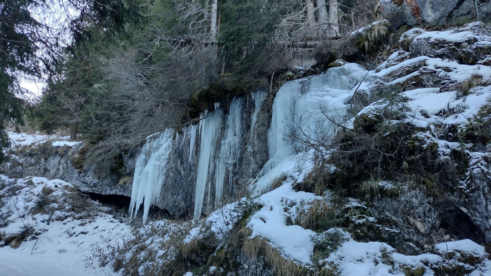
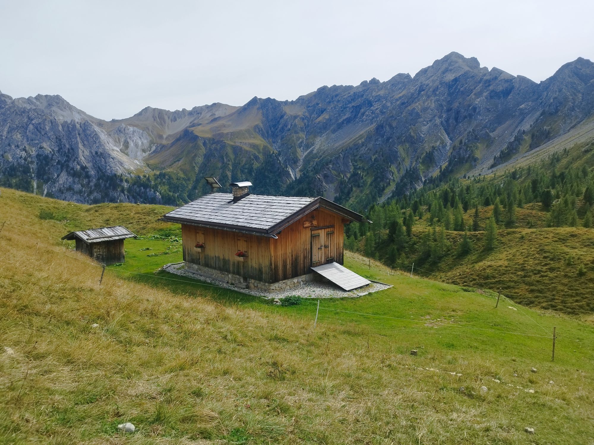
Tip: You can also shorten the entire hiking route. In this way, the trail is also accessible to people who want to take a shorter route. From the "Malga Monzoni" hut, take the path in a southerly direction to the Rifugio Taramelli and then in an easterly direction to the Passe delle Selle (E603 / E604). The path also serves as a return route. It is a beautiful path to Malga Monzoni with nice views and a beautiful waterfall.
>> Malga Monzoni - Passe delle Selle return: 3.5 km / 670 m ascent
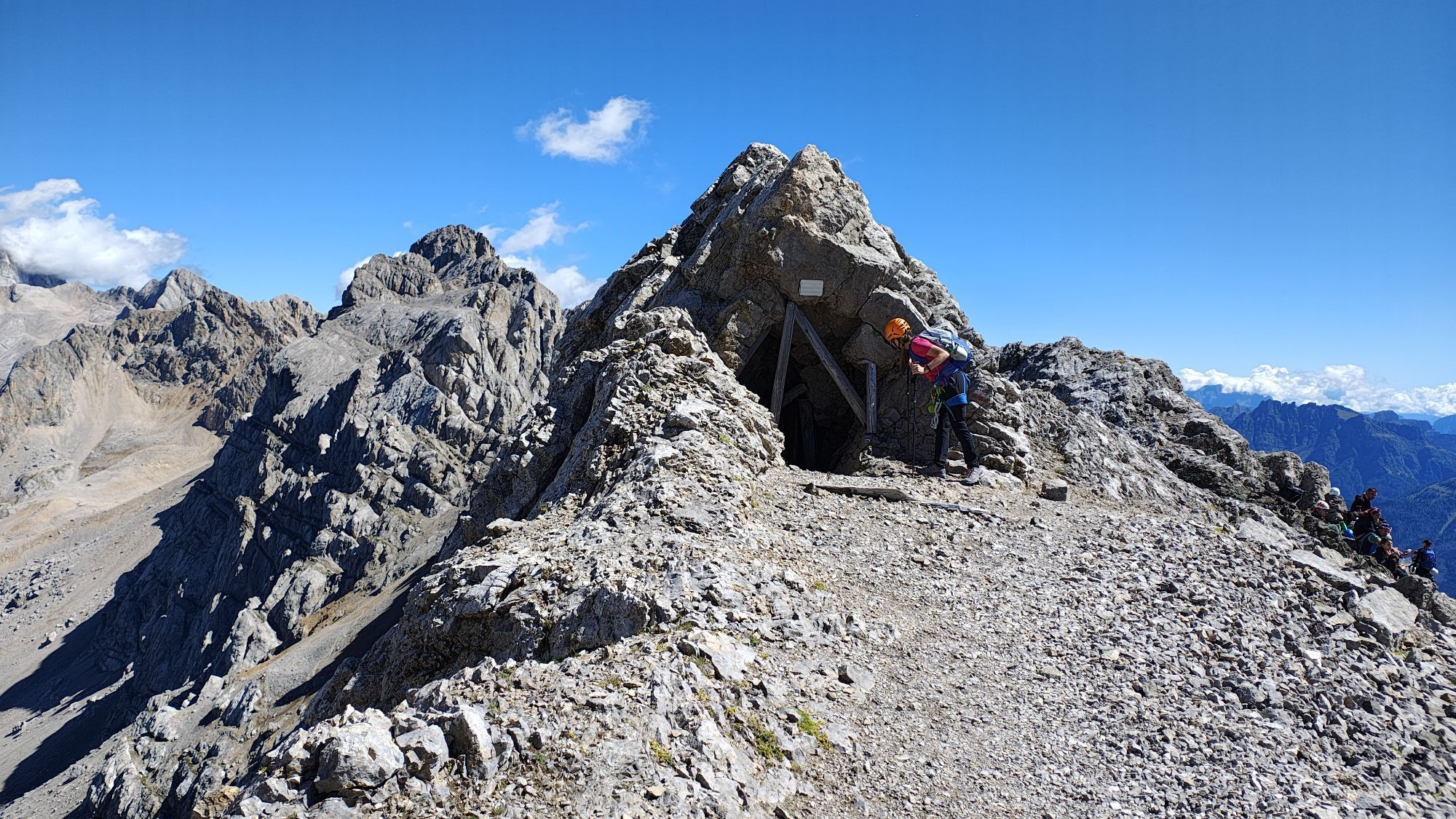
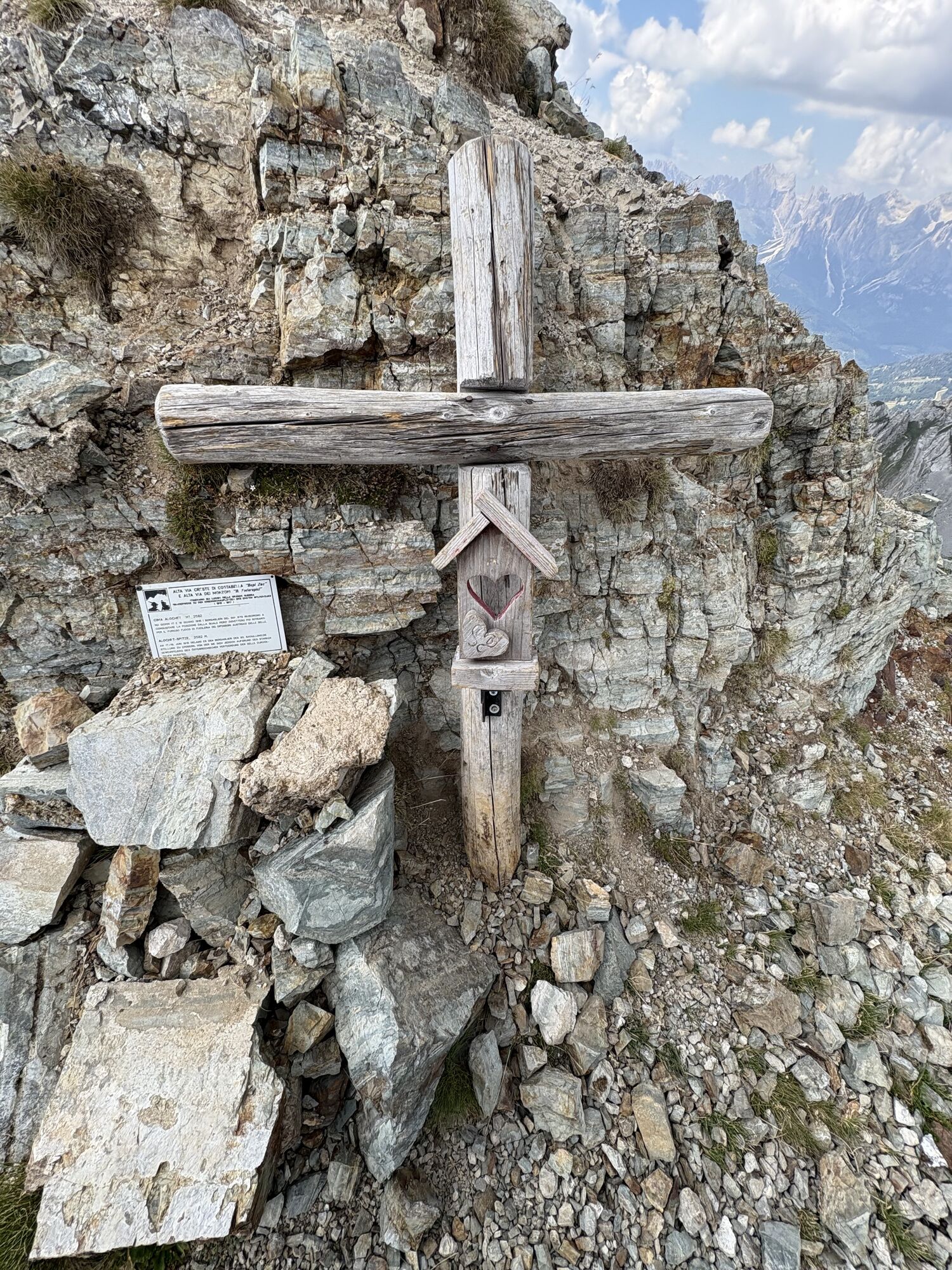
From Passo delle Selle, the trail continues up the ridge to the summit of Gran Laste, then to Cima di Campagnacia and finally to the highest point, Cima di Costabella at 2,765m. A historic spot then awaits you at Castello di Costabella.
From here follows the steep descent to the "Baita alla Cascate".
Then it's about 6 km downhill along the Rio Nicolo back to the starting point.







Busverbindung zum Malga Monzoni
Malga Crocifisso
Malga Monzoni
Rifugio Vallaccia
Rifugio Taramelli
Komplette Klettersteigausrüstung, Helm.
Beim Camping Vigor

Webcams de la tournée
-
Marmolada
-
Ciampedie - Rosengarten
-
Ciampedie - Rosengarten
-
Ciampedie - Rosengarten
-
Ciampedie - Rosengarten
-
Le Cune
-
Le Cune
-
Le Cune
-
Le Cune
-
Le Cune
-
Le Cune
-
Le Cune
-
Catinaccio - Rosengarten Pra Martin
-
Ciampedie - Rosengarten
-
Ciampedie - Rosengarten
-
Ciampedie - Rosengarten
-
Ciampedie - Rosengarten
-
Catinaccio - Rosengarten Pra Martin
-
Catinaccio - Rosengarten Pra Martin
-
Le Cune
-
Castelir
-
Castelir
-
Castelir
-
Castelir
-
Castelir
-
Castelir
-
Pozza di Fassa - Buffaure
-
Canazei - Ciampac
-
Canazei - Ciampac
-
Canazei - Ciampac
-
Canazei - Ciampac
-
Pozza di Fassa
-
Moena - San Pellegrino Pass / Chalet Isabella
-
Cima Uomo
-
Col Margherita Sud
-
Col Margherita Sud
-
Col Margherita Sud
-
Col Margherita Sud
Obtenez un aperçu
Toujours en direct avec plus de 9.500 webcams. En tant qu'utilisateur Pro, vous pouvez désormais voir les webcams correspondantes à de nombreuses randonnées dans l'application de randonnées de bergfex. Vous pouvez ainsi voir directement les conditions actuelles.


Parcours populaires à proximité
-
4,7
Passo Pordoi - Sass Pordoi - Forcella Pordoi - Piz Boè - Refuge Boè - Forcella Pordoi - Passo Pordoi
difficileRandonnée 8,39 km -
5,0
Langkofel Klettersteig/Ferrata Furcela de Saslonch
difficileVia ferrata 7,07 km -
4,0
Der Friedrich-August-Weg
moyenRandonnée 10,4 km -
4,9
Lang- und Plattkofel Umrundung
moyenRandonnée 17,5 km -
4,9
Santnerpass Klettersteig
moyenVia ferrata 8,29 km -
4,8
Langkofel-Umrundung
moyenRandonnée 12,9 km -
4,4
Viel dal pan
facileRandonnée 6,60 km -
4,5
Dolomiten Sellagruppe, Alb. Col di Lana, Sas de Pordoi, Piz Boé retour 22.06.2016
moyenRandonnée 5 km -
4,9
Via Ferrata "Cesare Piazzetta"
difficileVia ferrata 9,07 km -
4,8
Passo Costalunga - Sella del Ciampaz
moyenRandonnée 8,35 km
Randonnée et suivi


Ne manquez pas les offres et l'inspiration pour vos prochaines vacances
Votre adresse électronique a été ajouté à la liste de diffusion.





